Moulay Idriss Zerhoun
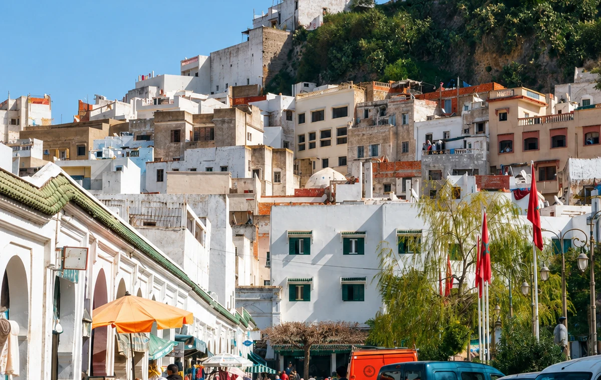
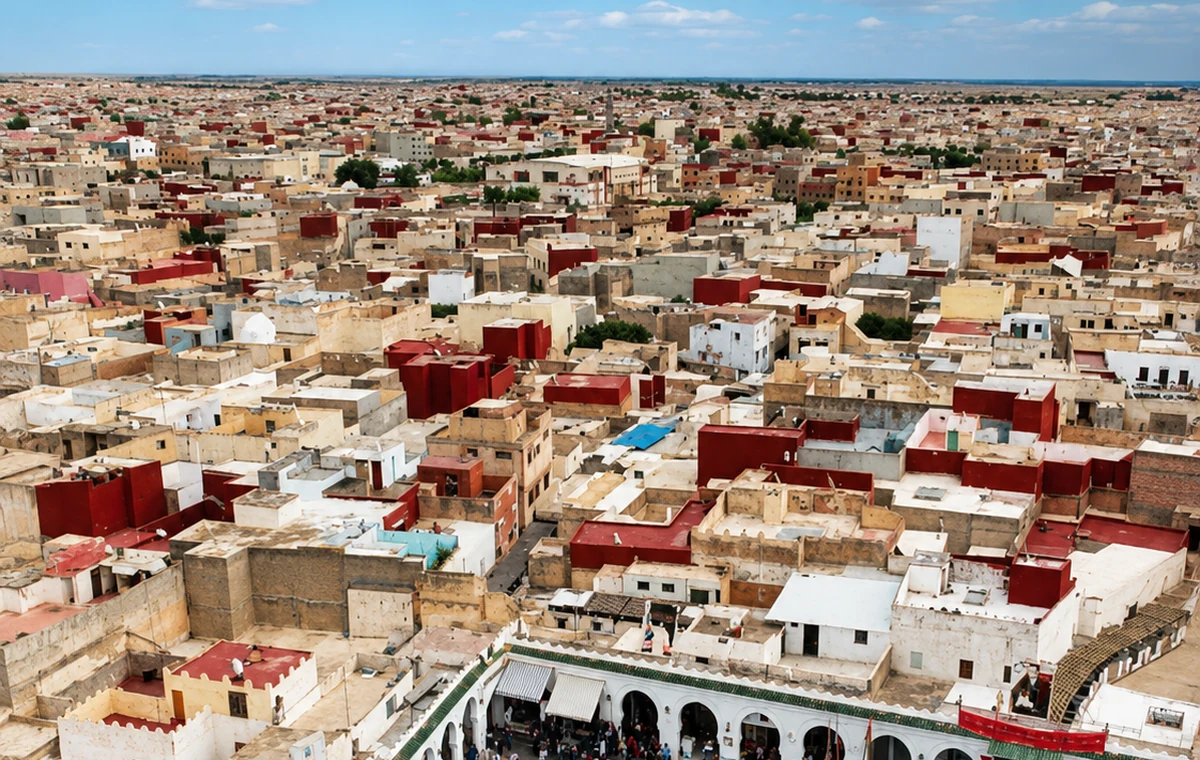
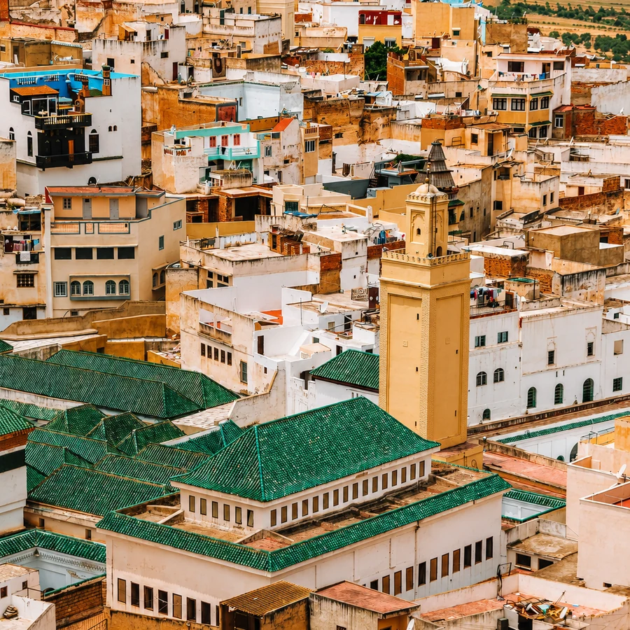
Sacred hill town near Volubilis and Meknes, tied to Idrissid memory and Zerhoun views.

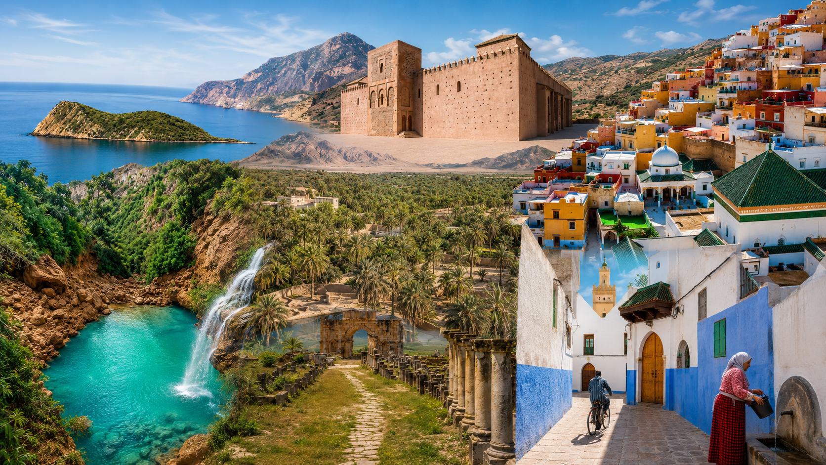
Quiet Towns, Route Places & Under-Told Cultural Edges
A curated discovery layer beyond the obvious city list: sacred hill towns, river walls, orchard memory, Rif trails, Mediterranean coves, High Atlas heritage and eastern oasis routes.
Hidden Morocco is where the site grows beyond the obvious city list: quiet towns, old pilgrimage places, oasis edges, forgotten ports, market landscapes and under-told cultural routes.
Hidden is a visitor's perspective, not a description of places unknown to the people who live there. This collection makes room for smaller towns and less familiar connections within a wider journey. It is not a single region or continuous itinerary. Choose a nearby cluster and give it the attention you would give a celebrated destination.
The route links sacred hill towns, river walls, orchard memory, Rif trails, Mediterranean coves, High Atlas heritage and the Figuig oasis.
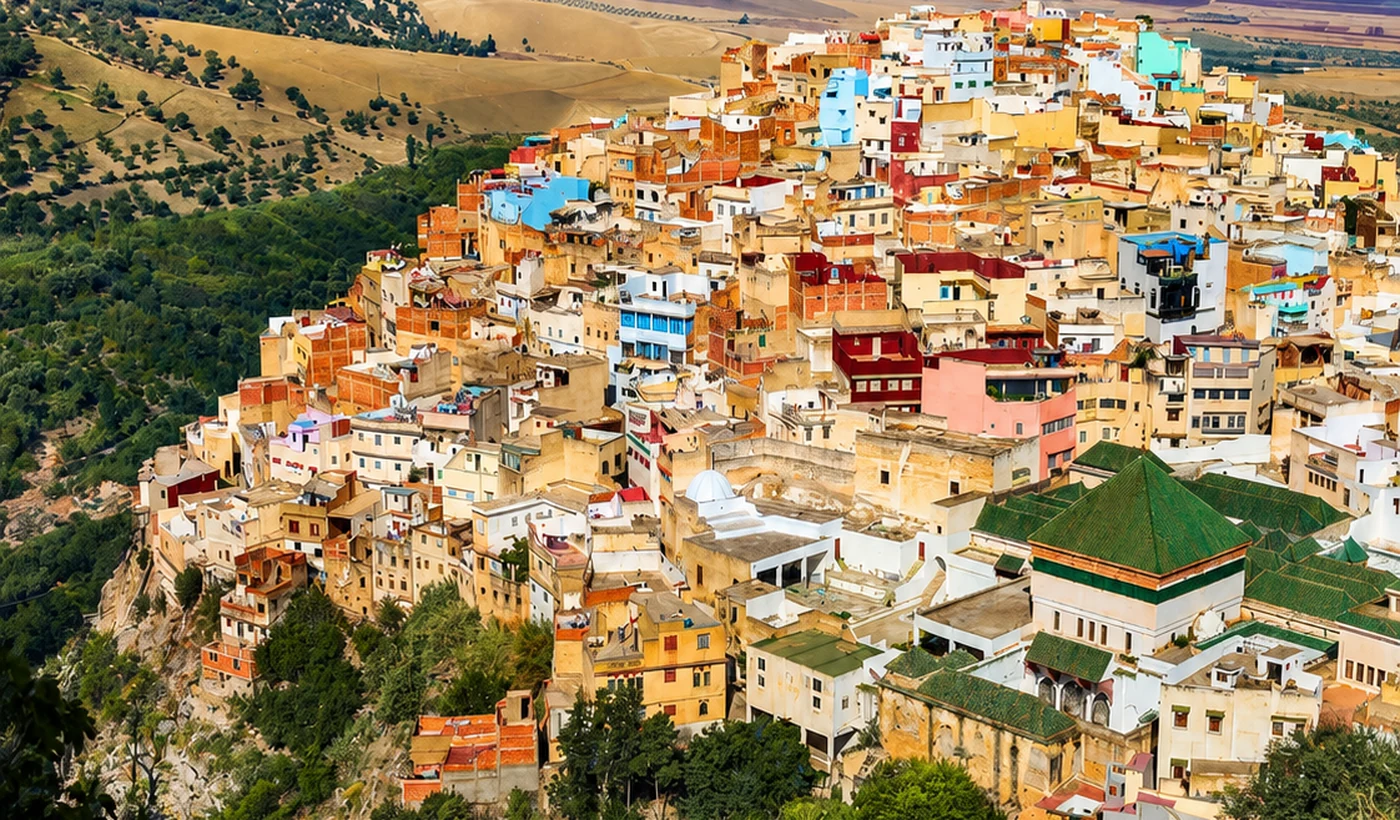 Hidden Morocco Hill Town Route Overview
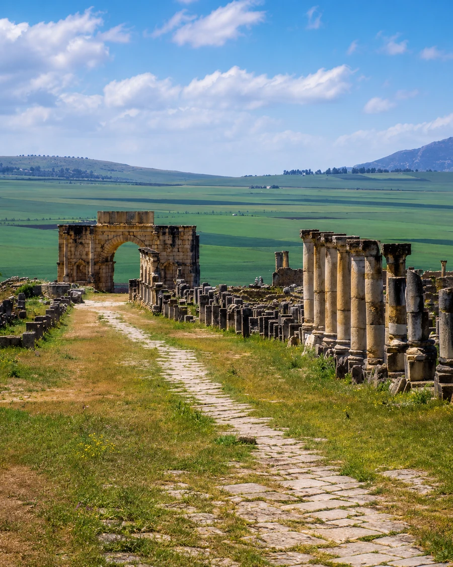 Volubilis And Zerhoun Route
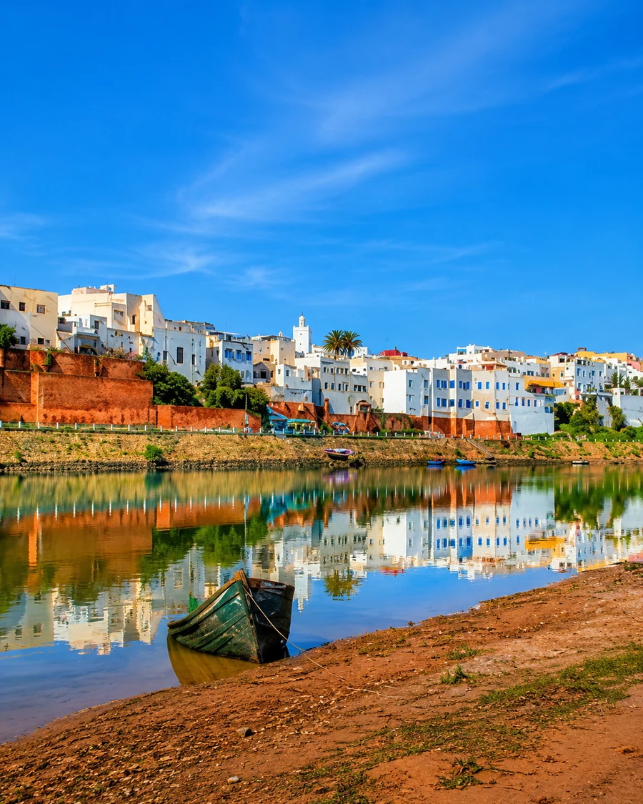 Azemmour Oum er Rbia River Edge
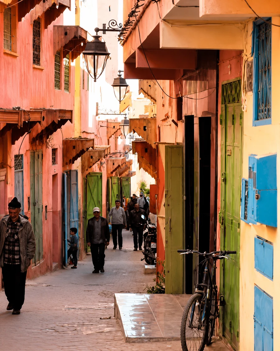 Sefrou Medina Foothill Lane
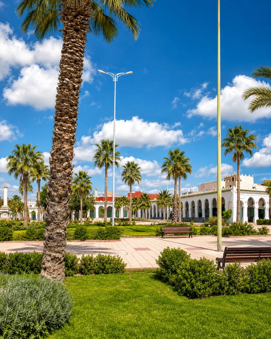 Bejaad Courtyard And Garden
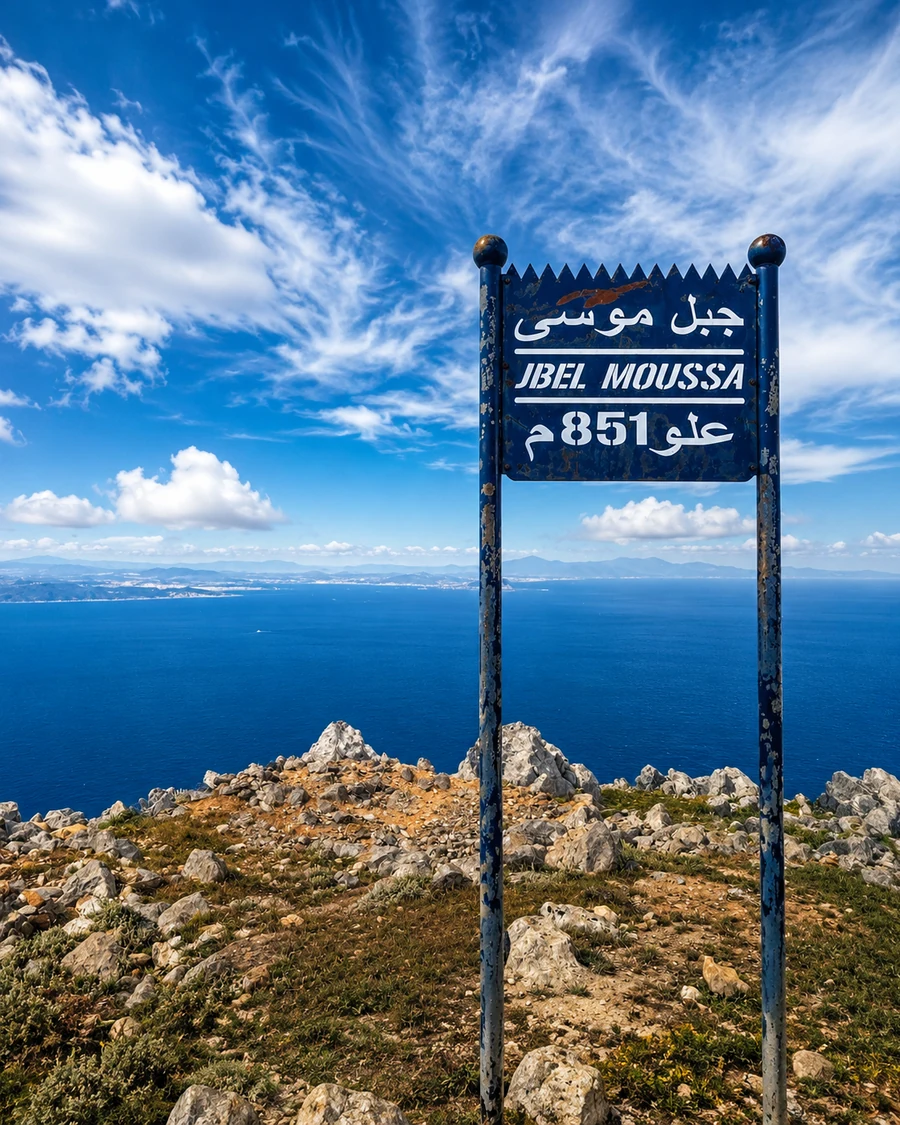 Rif Mountain Route Marker
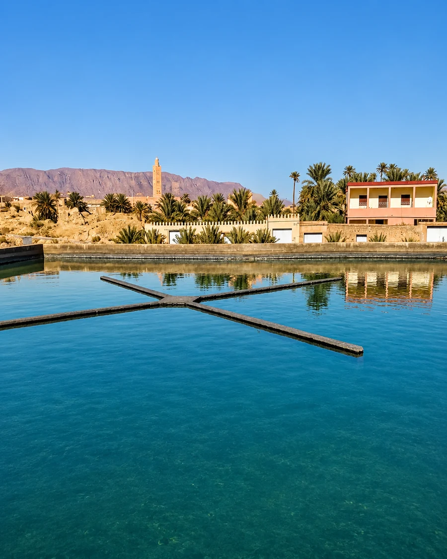 Figuig Water And Palm Route
Hidden Morocco expands the route beyond obvious city stops: quiet heritage towns, spiritual memory, mountain paths, coves and oasis edges.
Moulay Idriss, Azemmour, Sefrou and Bejaad keep smaller medina and pilgrimage routes visible.
Akchour, Talassemtane, Belyounech, Cala Iris and Tinmel connect water, forest, coast and mountain roads.
Figuig closes the layer with ksour, palms and water-channel heritage.
Every stop has a reason, a story and a route connection.
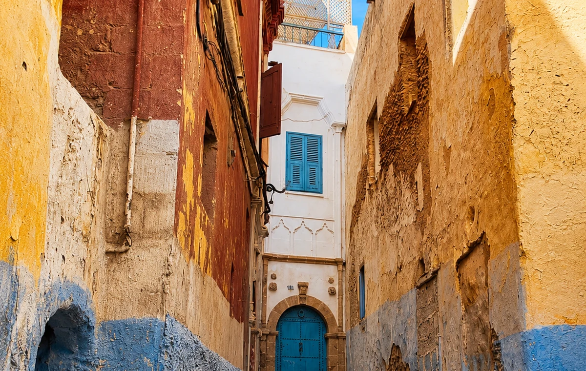
Medina lanes, sacred memory, river walls and under-told local routes.
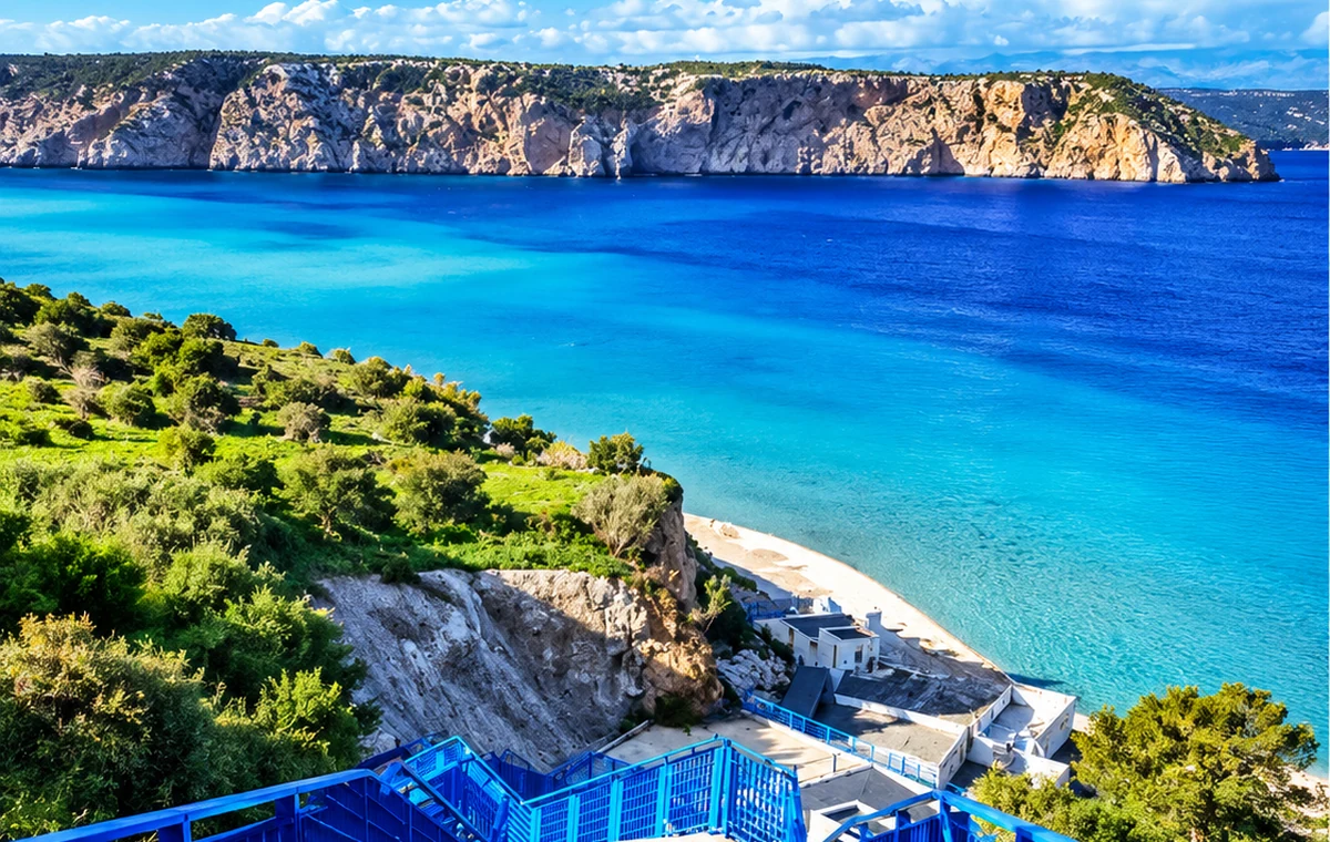
Waterfalls, forests, mountain paths and Gibraltar-facing coastlines.
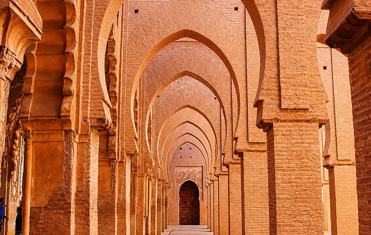
Tinmel brings High Atlas architecture and the Tizi n’Test route into the layer.
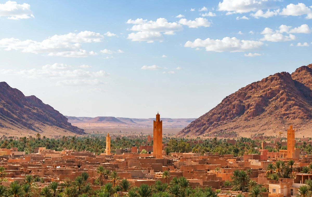
Figuig adds ksour, palms, water channels and eastern borderland memory.
The Hidden Morocco route is built from sacred hills, river towns, orchard edges, spiritual centers, Rif paths, quiet coves, mountain mosques and oasis water.
Moulay Idriss Zerhoun anchors the layer near Volubilis and Meknes.
Azemmour keeps Oum Er-Rbia walls, medina lanes and art memory in the route.
Sefrou and Bejaad connect orchards, old medinas, spiritual heritage and textile identity.
Tinmel and Figuig close with High Atlas heritage, ksour, palms and water channels.
Sacred hill town near Volubilis and Meknes, tied to Idrissid memory and Zerhoun views.
Reason: it links one of Morocco’s most important early Islamic stories with the UNESCO landscape of Volubilis.
Read the hill town as an inhabited sacred setting with boundaries as well as viewpoints. The connection with Idrisid history is distinct from the archaeological account of nearby Volubilis. Visiting both can reveal different kinds of evidence, provided you leave enough time for each. Respect access restrictions at religious spaces and do not assume that a narrow lane is an invitation to enter a home. The wider Zerhoun setting adds landscape to the historical comparison.
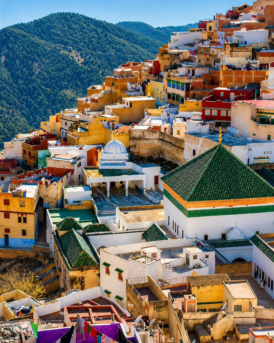 Moulay Idriss Zerhoun Terraces
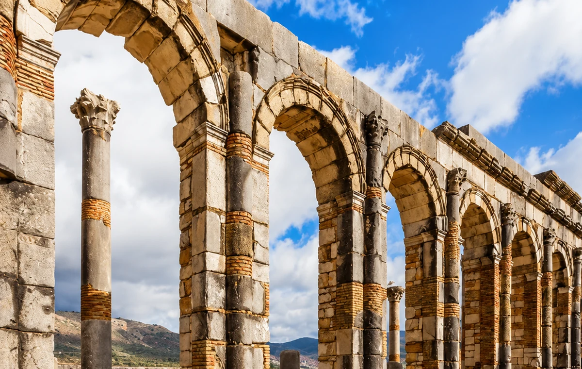 Volubilis Columns
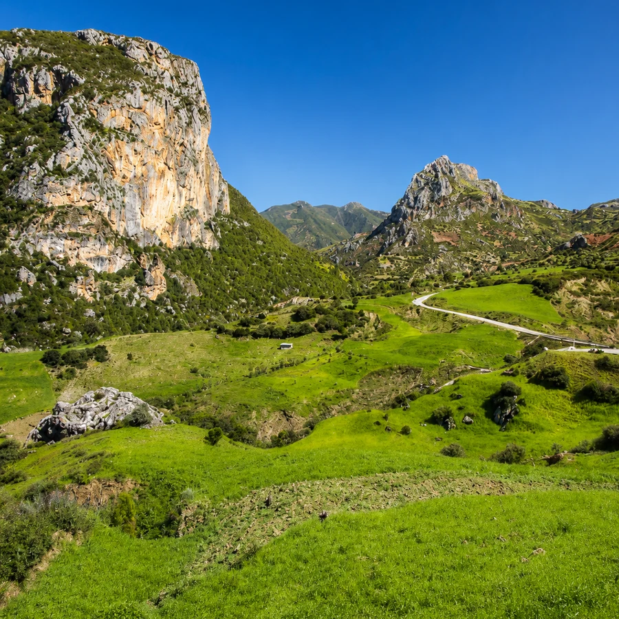
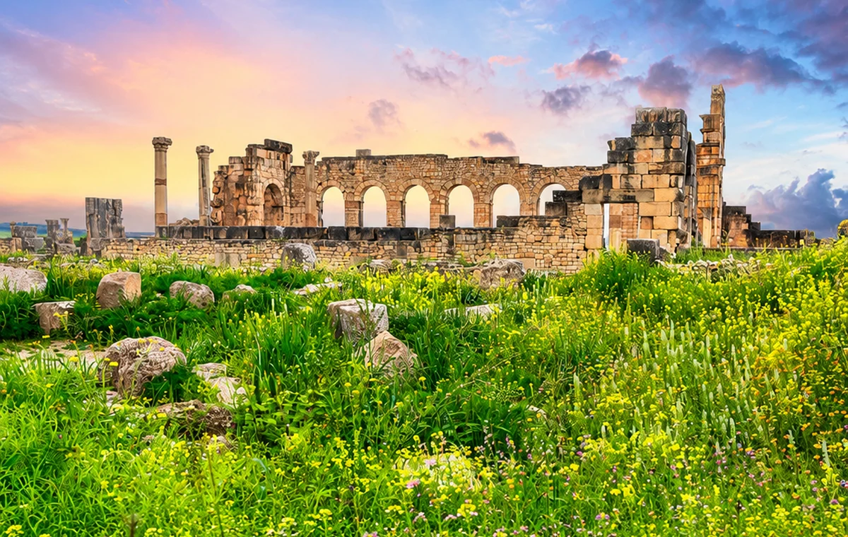 Zerhoun Hills
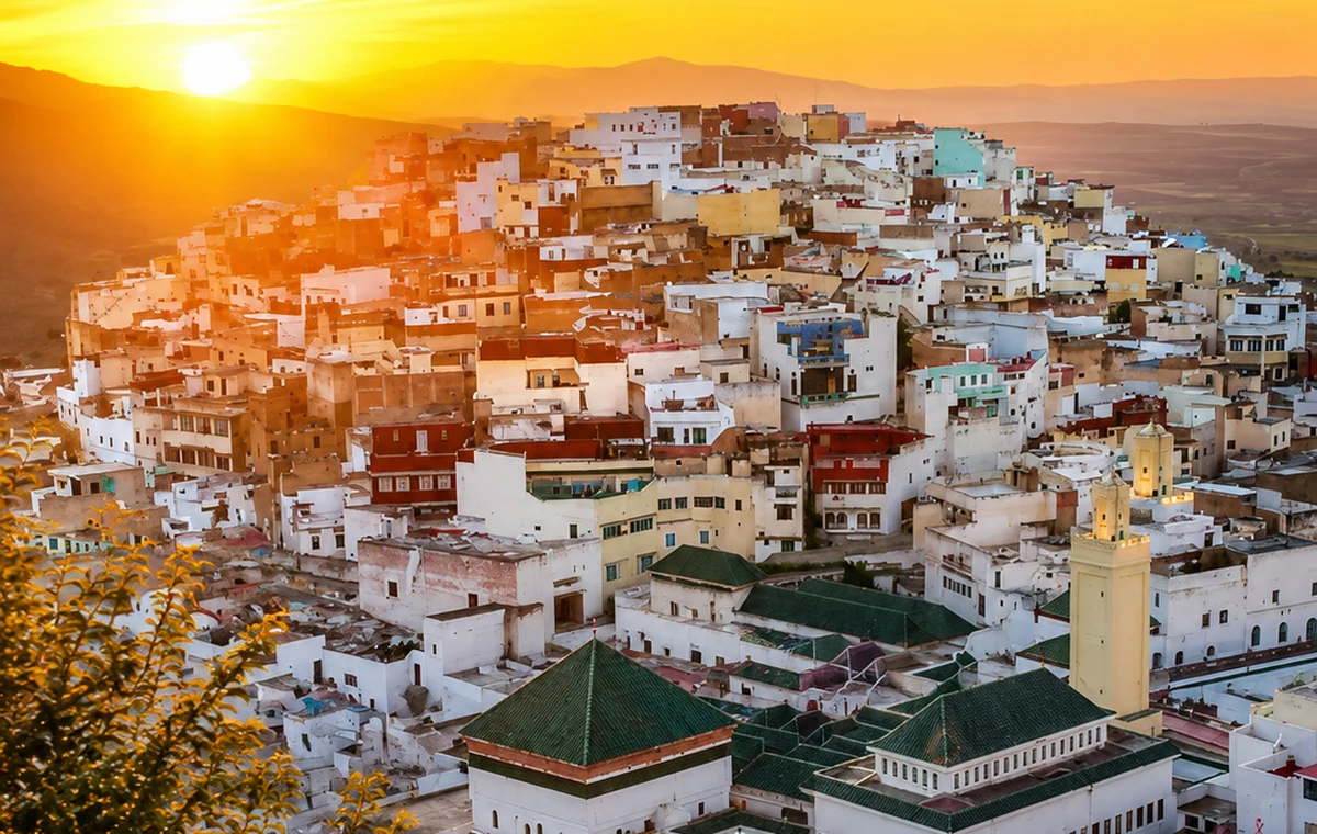 Moulay Idriss Terraces
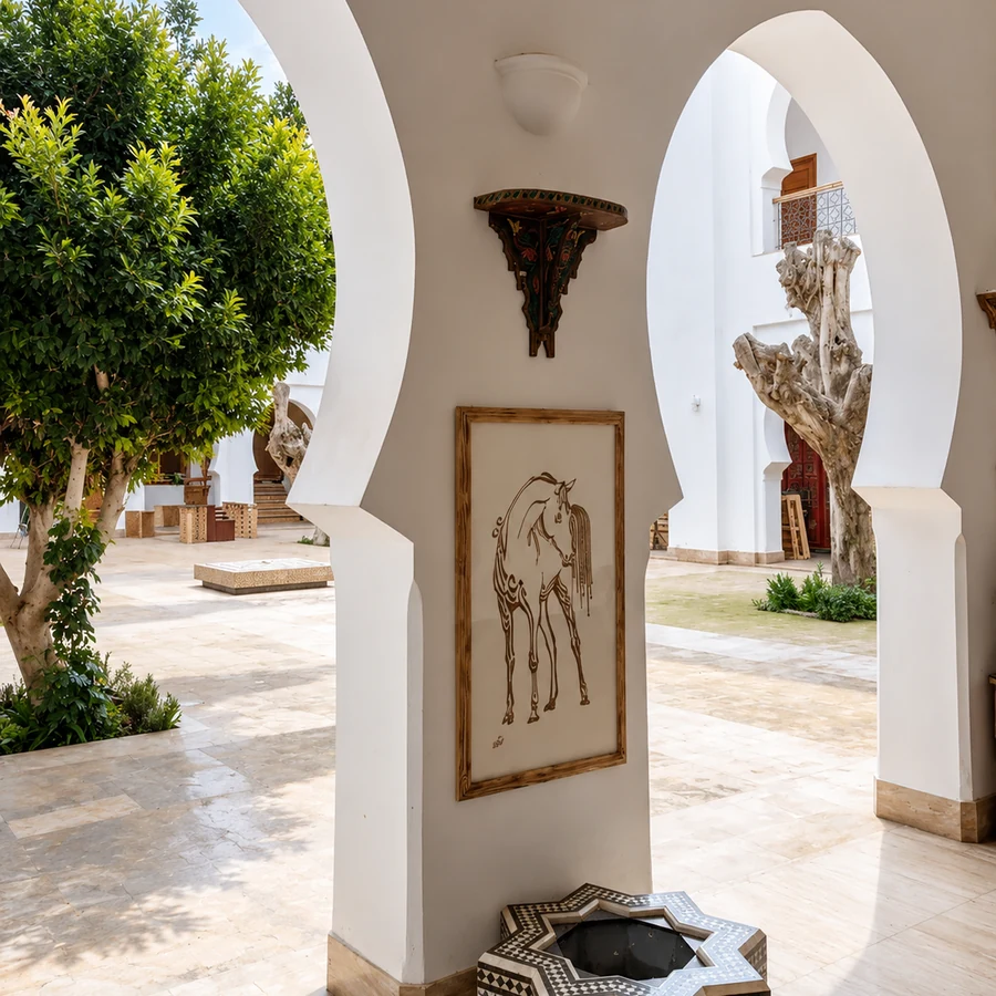
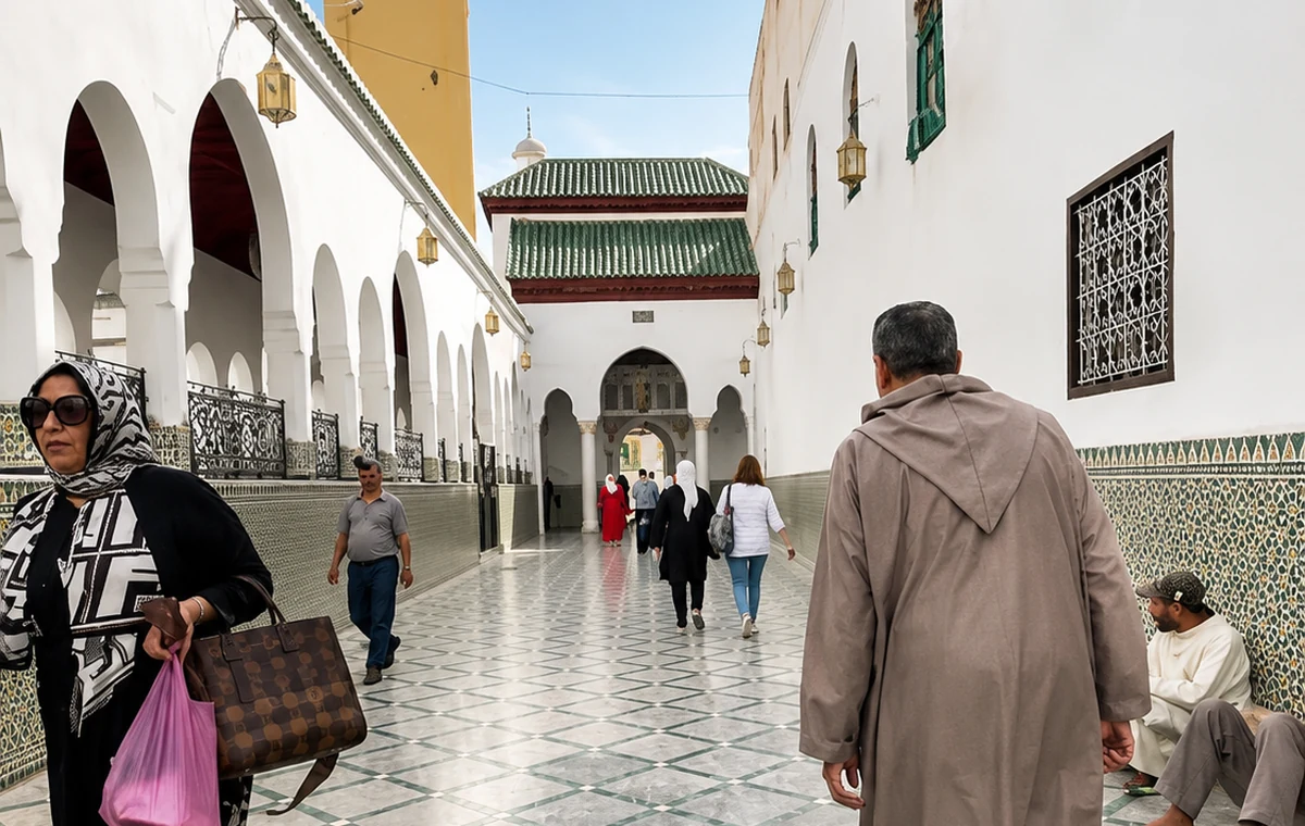 Sacred Town Courtyard
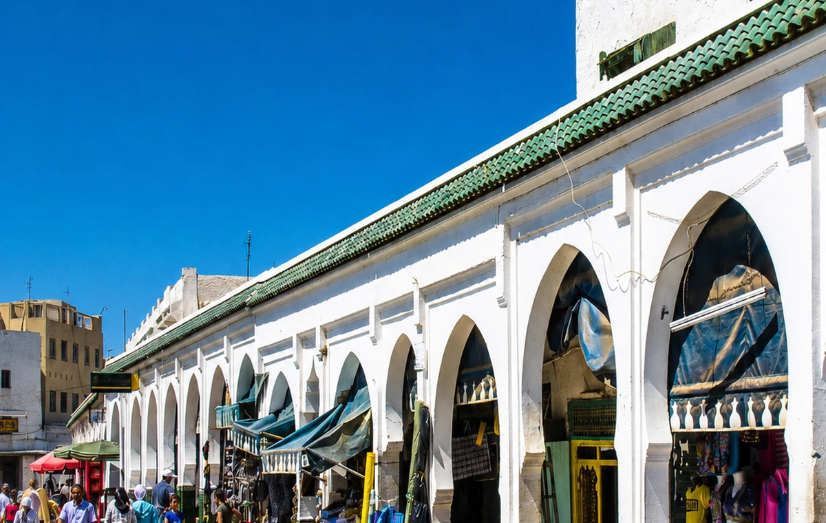 Meknes Route Arcade
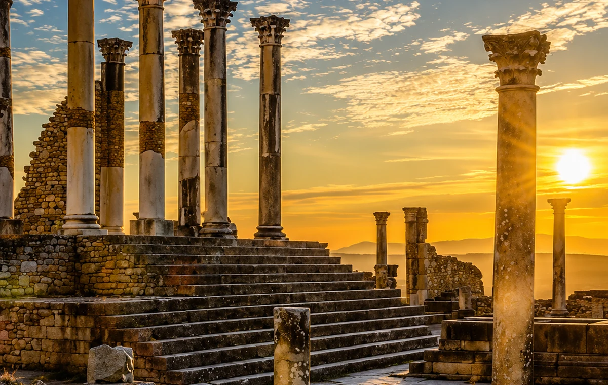 Valley And Ruins View
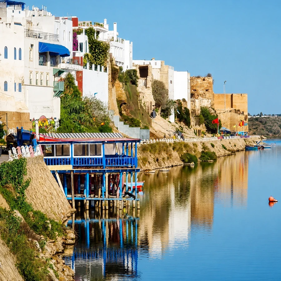
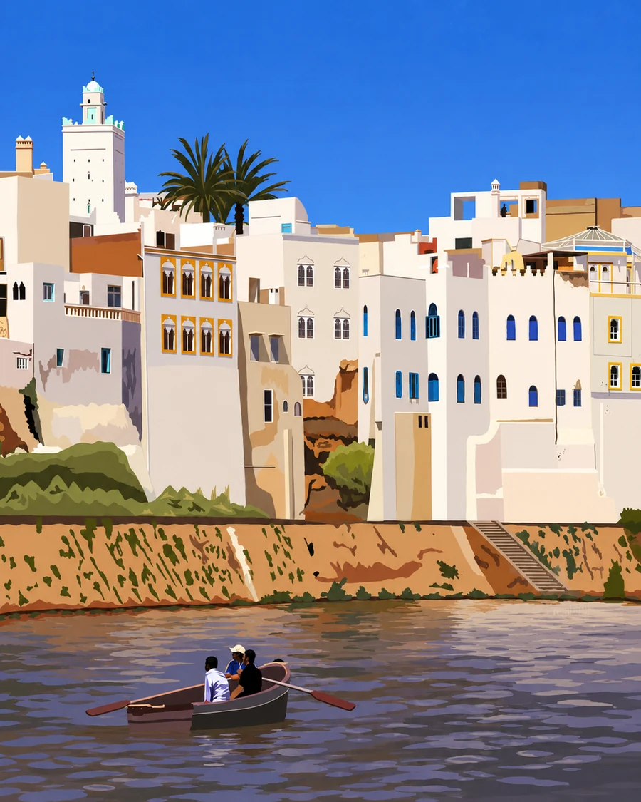 Azemmour River Town
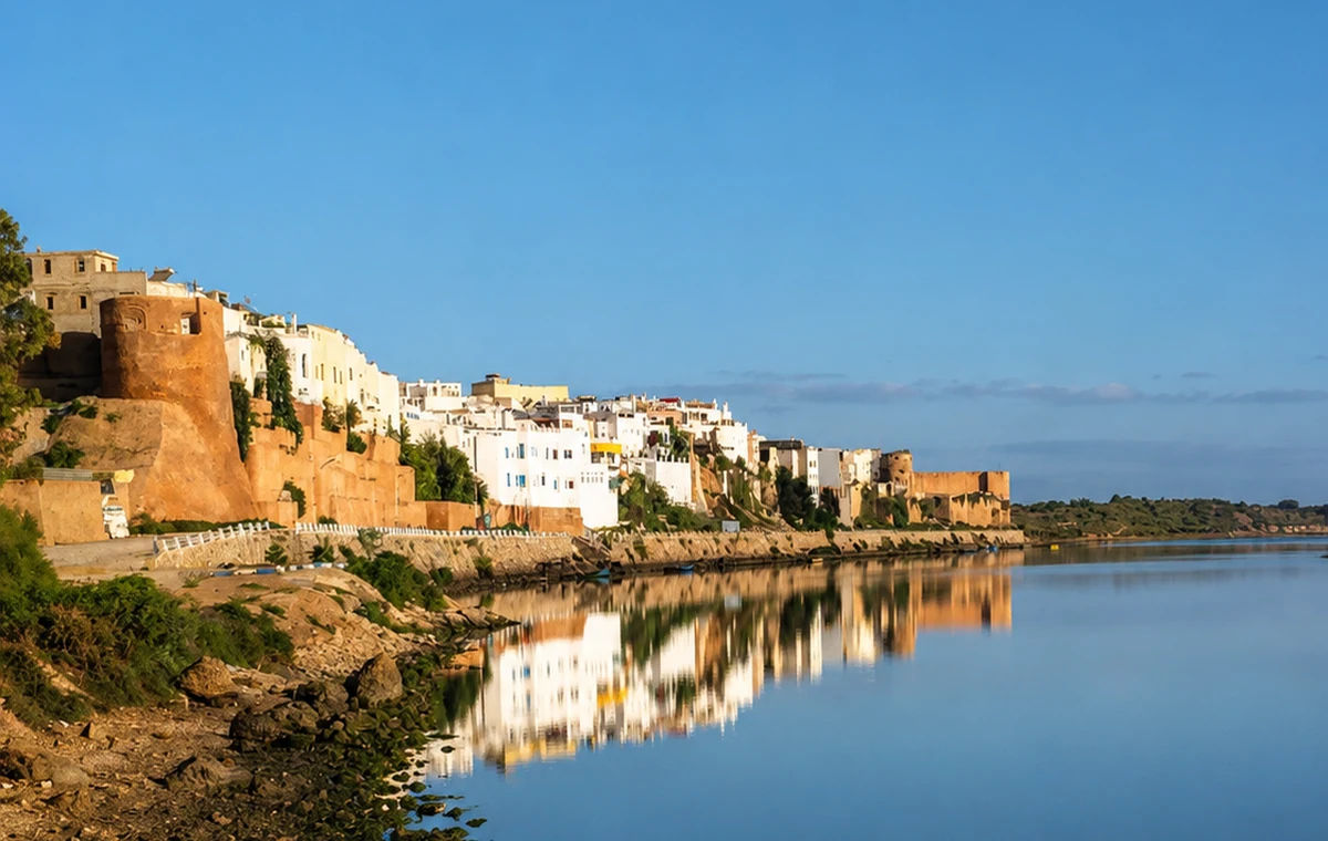 Oum er Rbia River
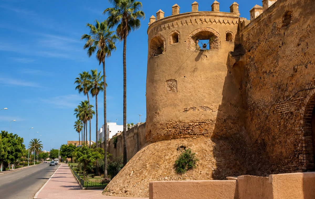 River Walls
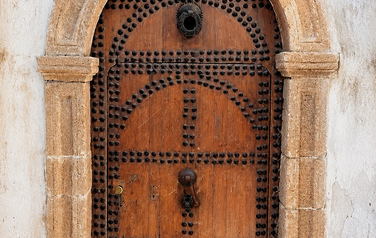 Portuguese Era Door
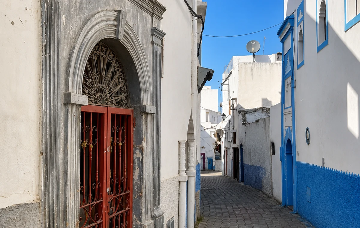 Medina Lane
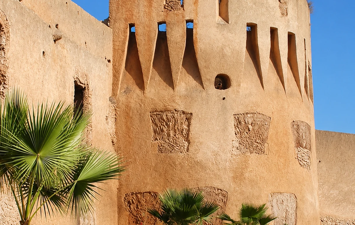 Kasbah Ramparts
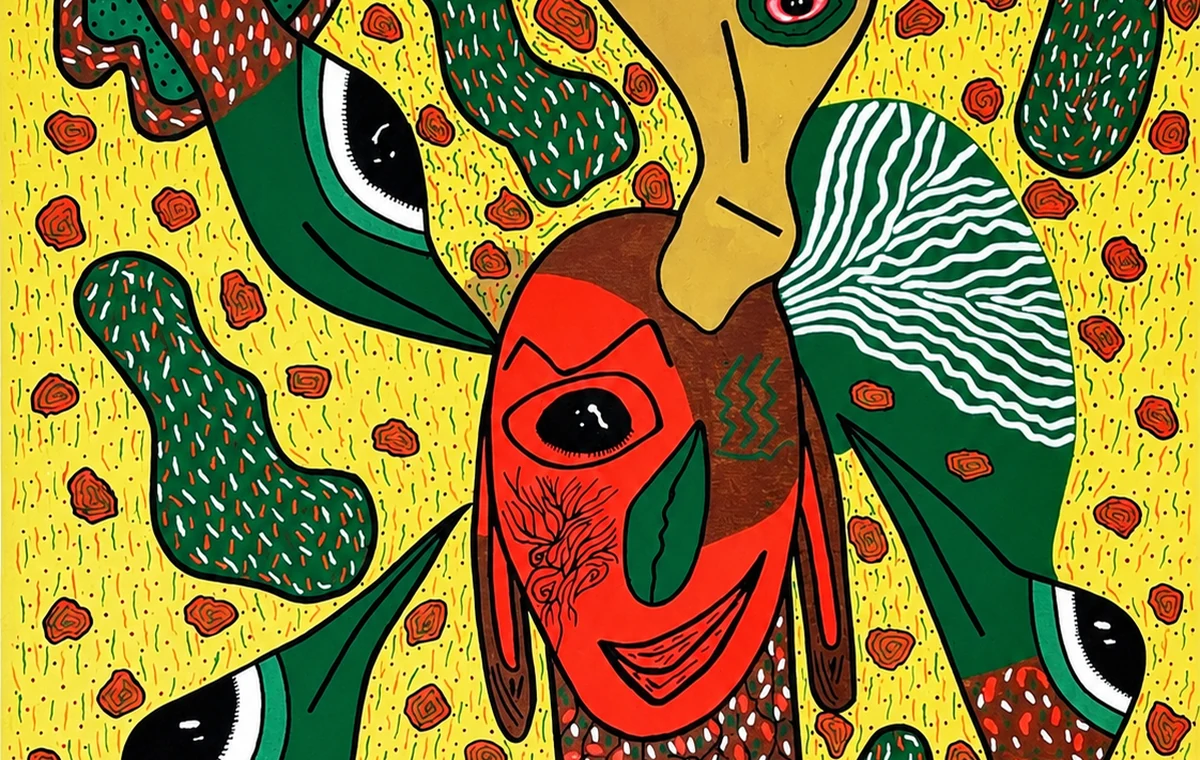 Art Memory Mural
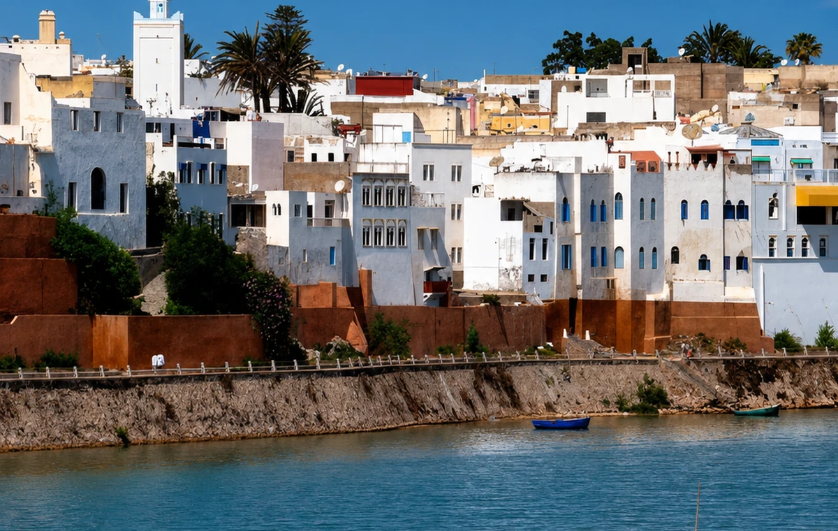
A quiet river town with ramparts, medina lanes, Portuguese traces and Oum Er-Rbia light.
Reason: Azemmour gives the route a river chapter instead of another large city stop.
Story and route: connect it with El Jadida, Casablanca and the Oum Er-Rbia river mouth.
The Oum Er-Rbia gives the town a clear relationship to water that differs from an open-ocean resort. Follow that setting into the streets, noticing how walls, entrances and changes of level organise movement. Pairing Azemmour with El Jadida can make the contrast between river town and fortified ocean city useful. Stay attentive to the ordinary life within both. A quiet lane is not empty scenery; it may be someone's daily route between home, work and neighbours.
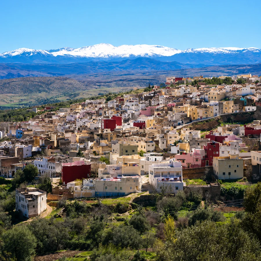
A mountain-edge town known for orchards, the Cherry Festival, medina life and Jewish-Moroccan memory.
Reason: Sefrou adds a cultural festival and orchard landscape to the Fez and Middle Atlas route.
Story and route: read it through the old medina, Oued Aggay and the road between Fez and the Middle Atlas.
Sefrou can deepen a Fès-based journey by shifting attention towards foothills, a smaller medina and orchard associations. Its Cherry Festival is one expression of local cultural life, not the only reason to visit. On an ordinary day, the river, bridges and commercial streets provide a different reading. A local account can help connect visible places with histories of community and exchange. Do not treat the absence of a festival programme as the absence of a story.
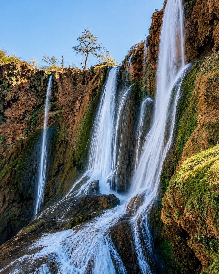 Sefrou Waterfall
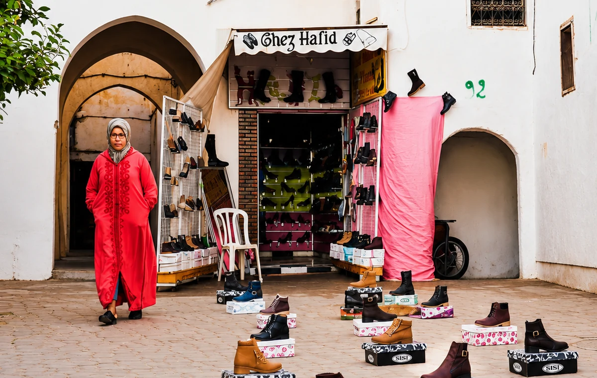 Sefrou Market Square
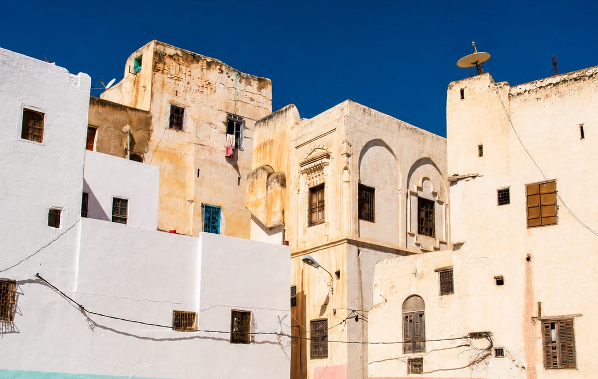 Old Town Edge
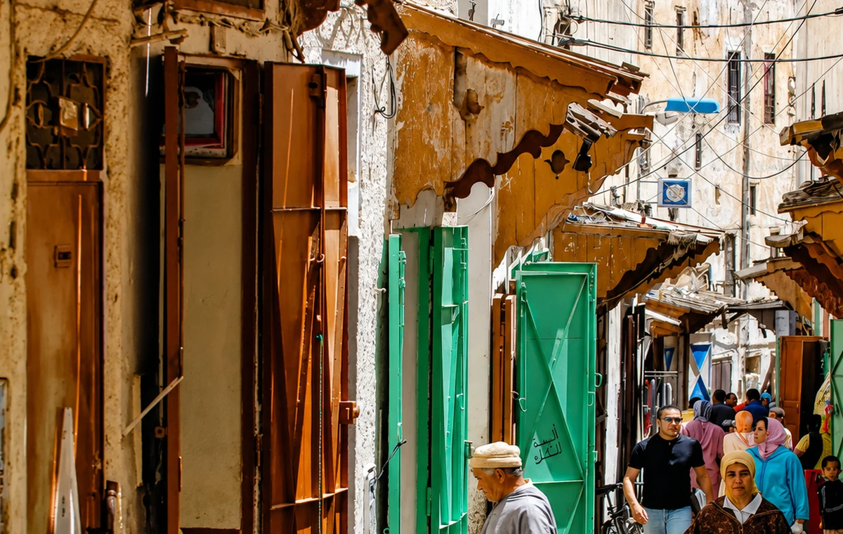 Old Medina Lane
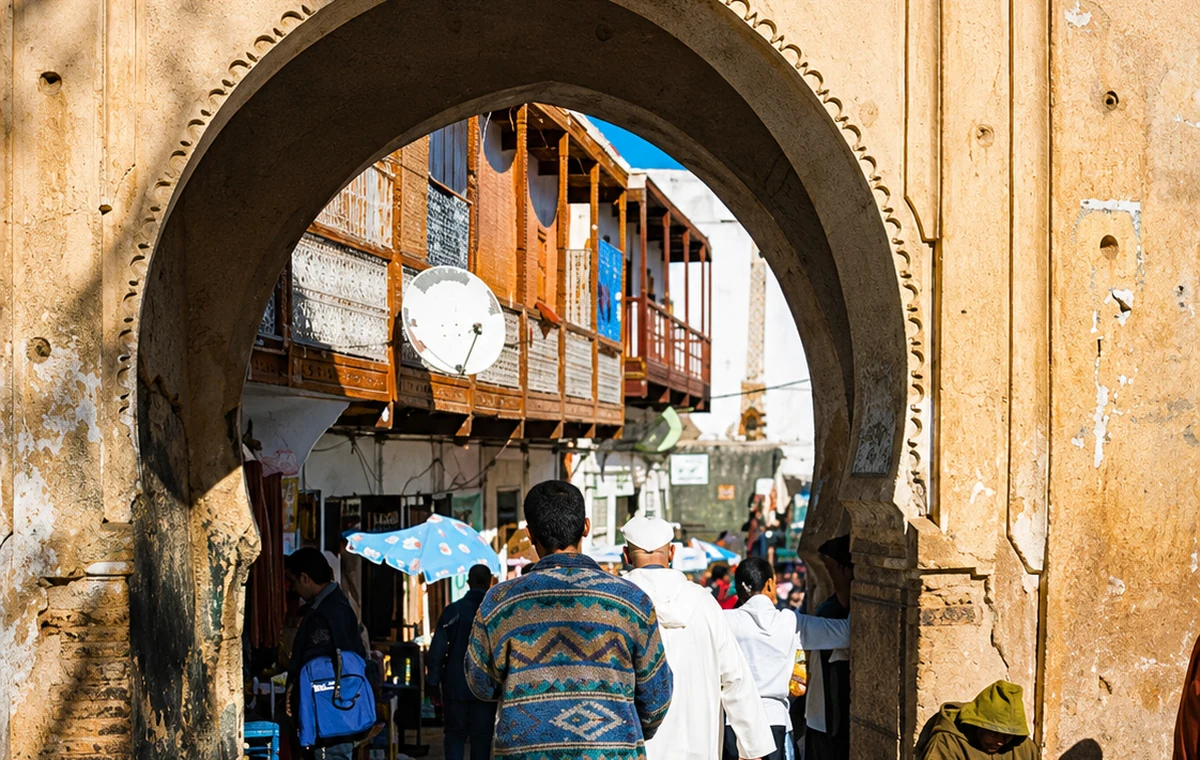 Medina Gate Memory
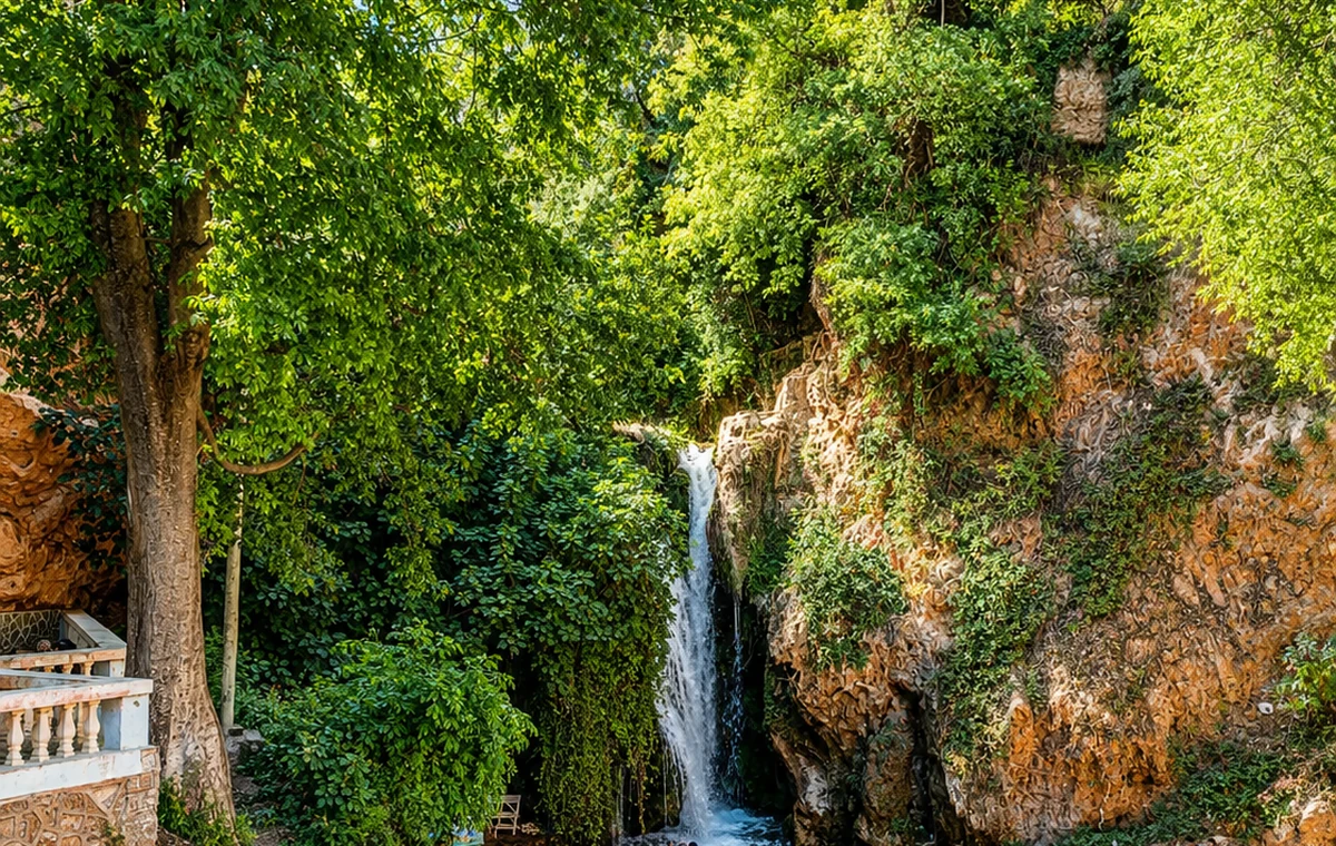 Oued Aggay Garden Water
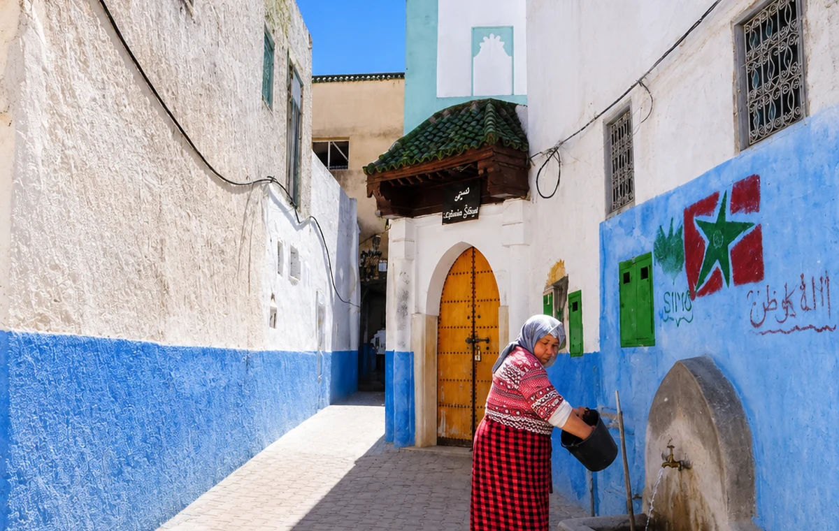 Mountain Edge Lane
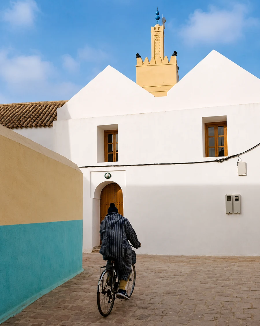 Bejaad Boujaad Spiritual Town
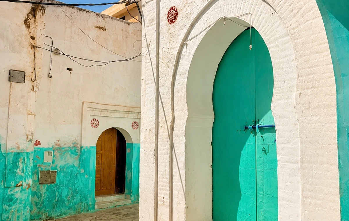 Spiritual Heritage Doorway
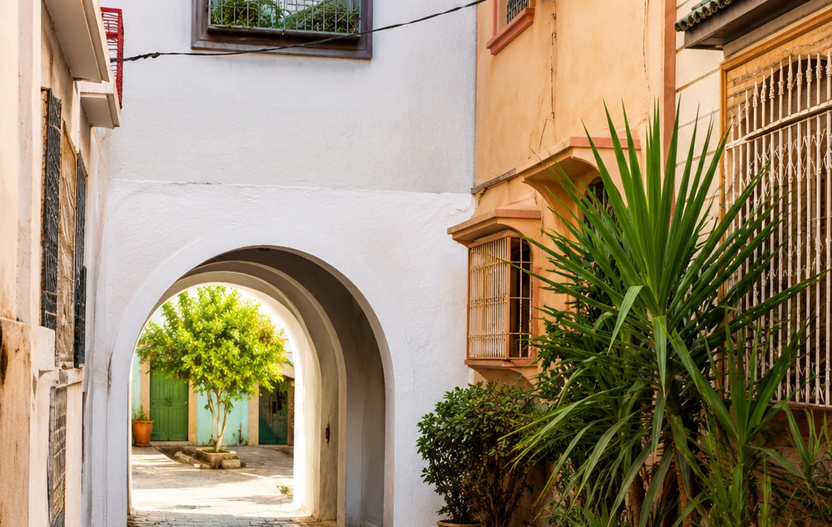 Old Medina Lane
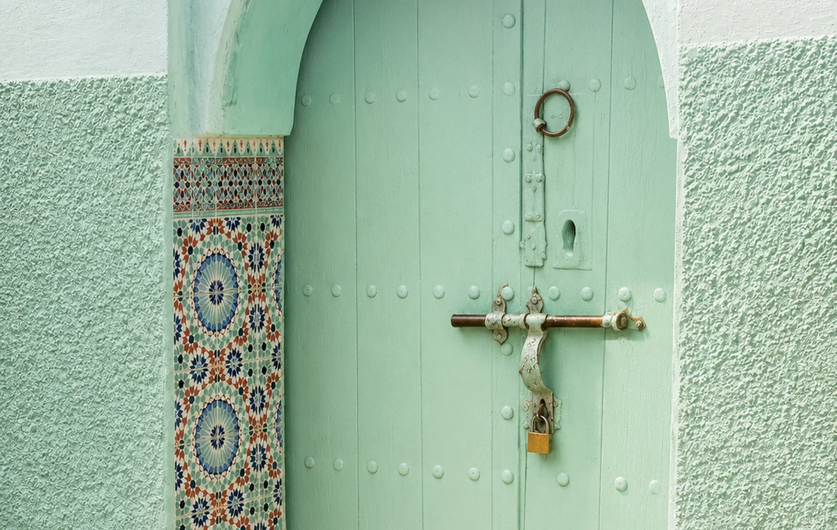 Zawiya Door Detail
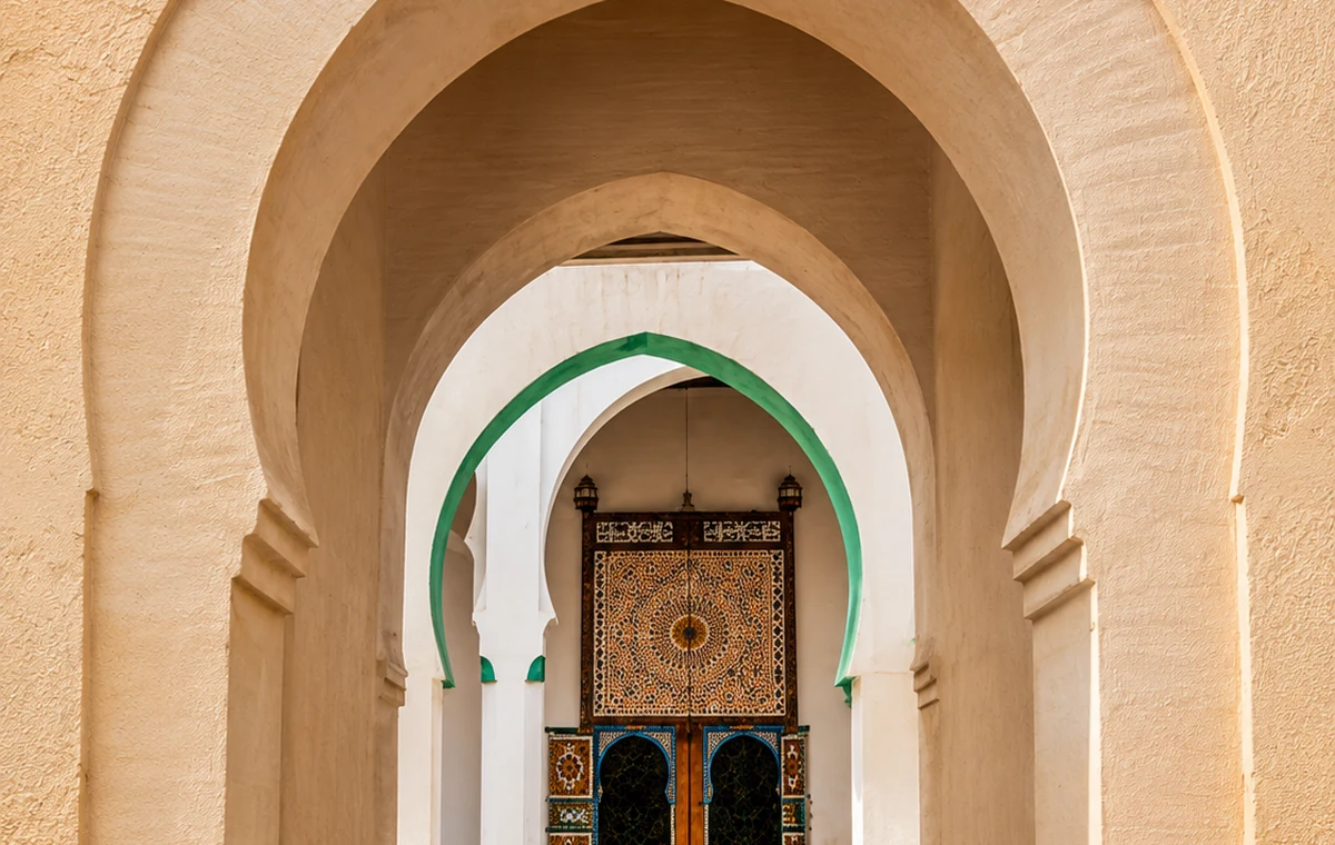 Textile Memory Arch
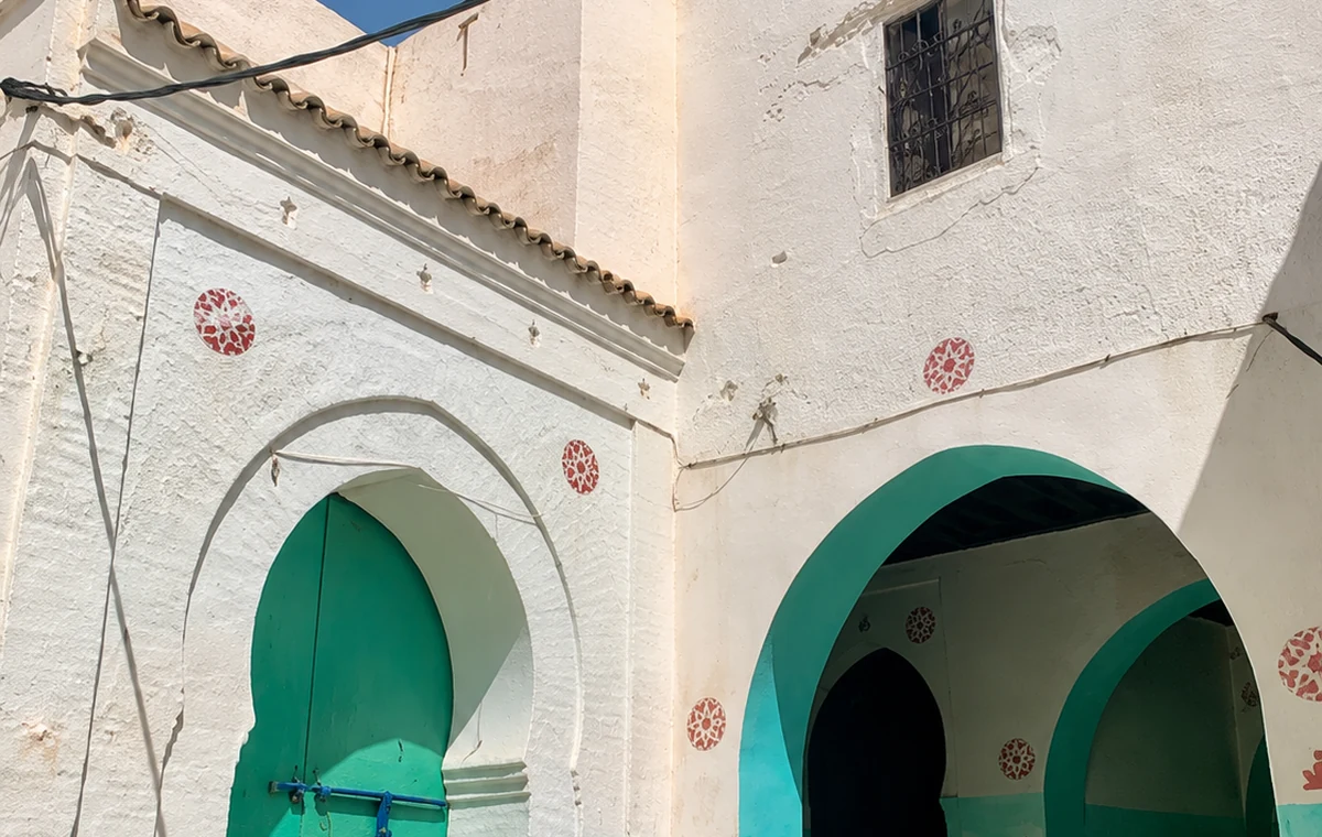 Zaouia Route Arch
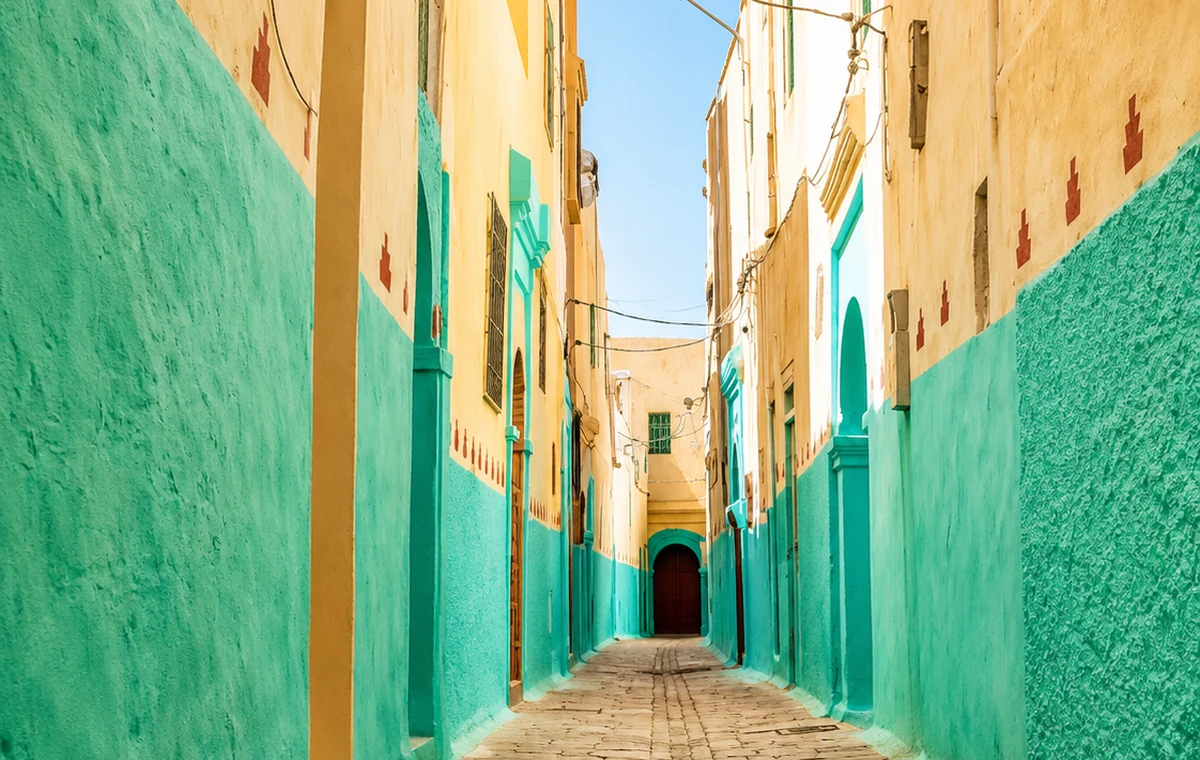 Central Morocco Lane
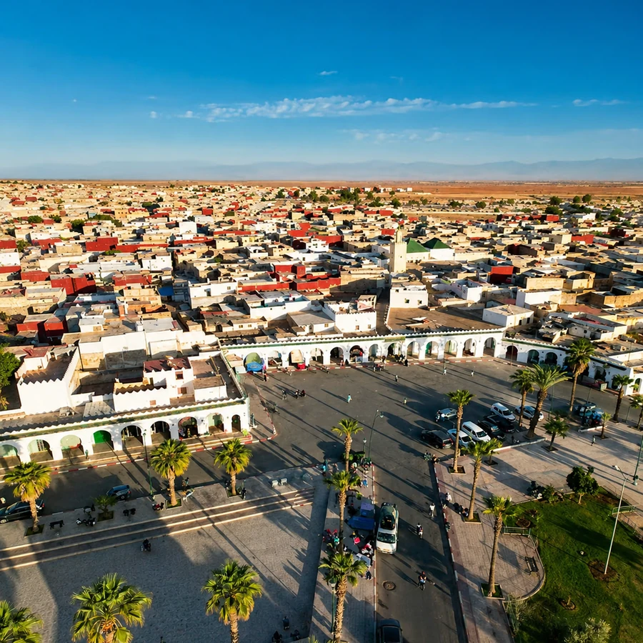
A central Moroccan town known for spiritual heritage, old medina texture and Boujaad rug identity.
Reason: it gives the discovery layer a central inland stop beyond the usual imperial and coastal routes.
The town's spiritual and textile associations should be approached through particular places and objects. Ask what is accessible, which history is being told and who made a textile under discussion. A product name alone cannot establish provenance or technique. This gives Bejaad a useful role in an interior journey: a chance to connect streets, belief, making and exchange without expecting the scale or visitor infrastructure of an imperial city.
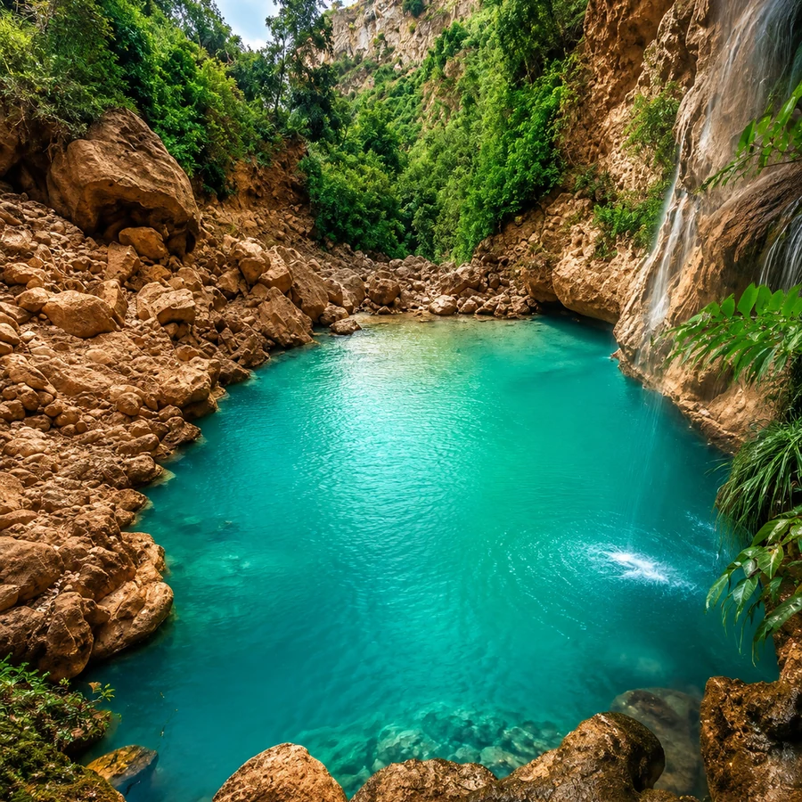
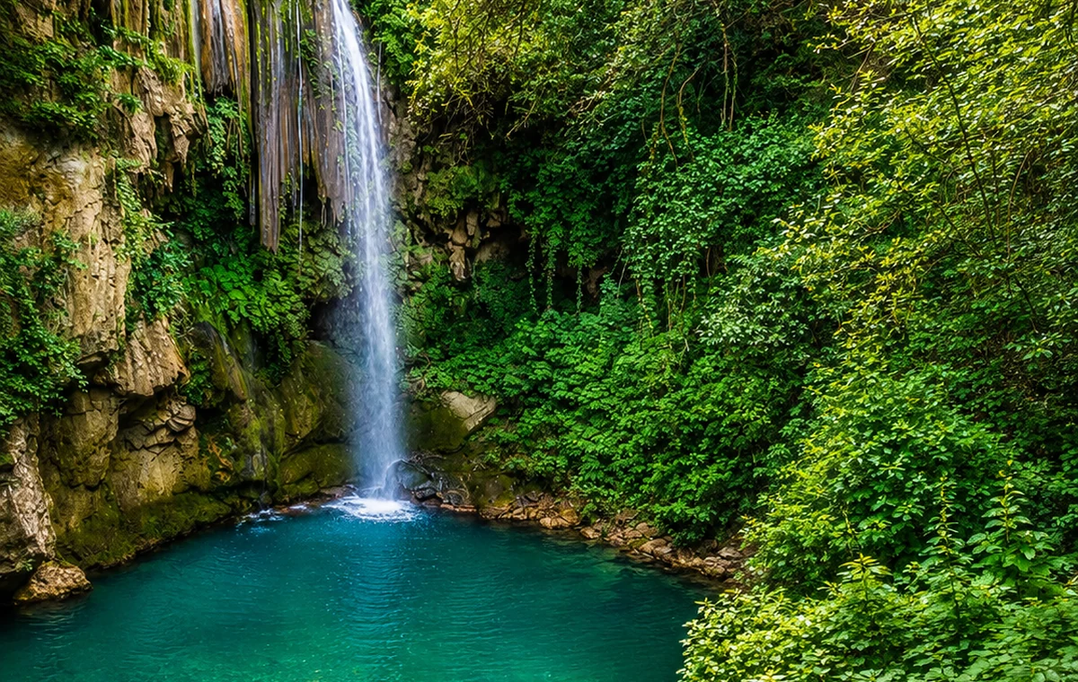
A Rif nature stop near Chefchaouen, known for waterfalls, river walks, pools and God’s Bridge.
Reason: Akchour turns Chefchaouen from a city visit into a mountain-water route.
Story and route: follow the trails through the gorge, then connect back to Chefchaouen and Talassemtane.
A mountain-water excursion begins with the route, not the photograph. Ask locally about current trail conditions, the intended destination and the time required to return. A viewpoint, a riverside section and a longer gorge walk need not be equally accessible. Choose a plan suited to your group and leave the watercourse and vegetation undisturbed. The surrounding work of guiding, food service and transport is also part of how a well-known landscape is experienced.
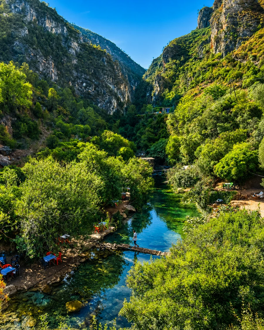 Akchour River Gorge
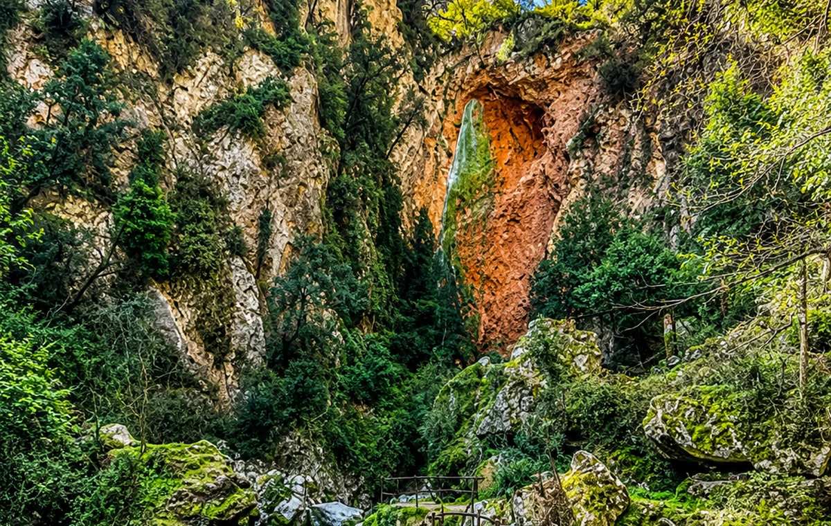 Akchour Waterfalls
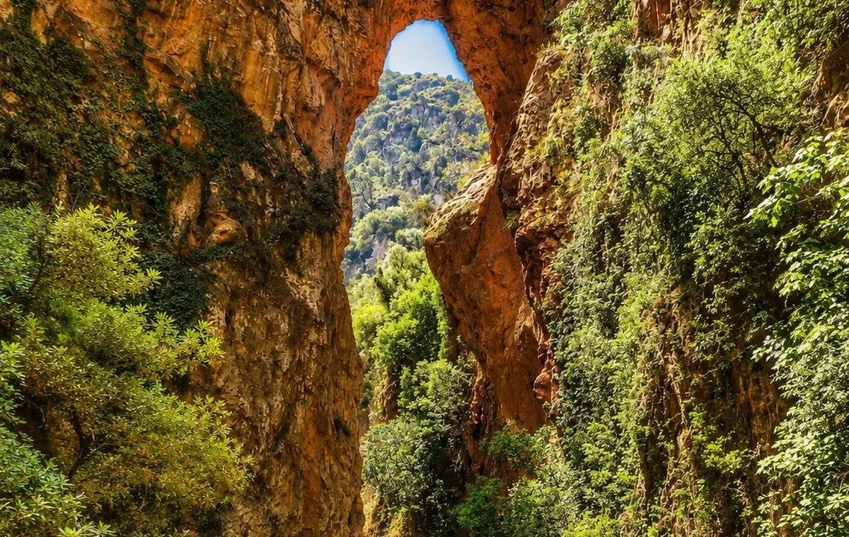 God's Bridge
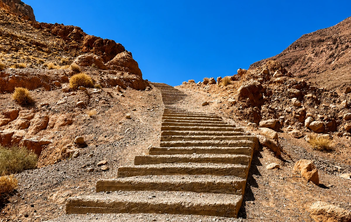 Rif Trail Steps
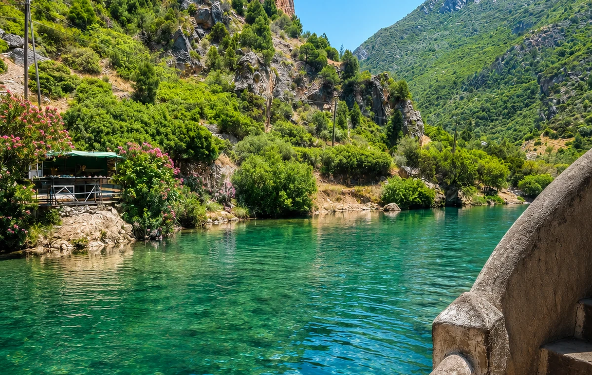 River Gorge Water
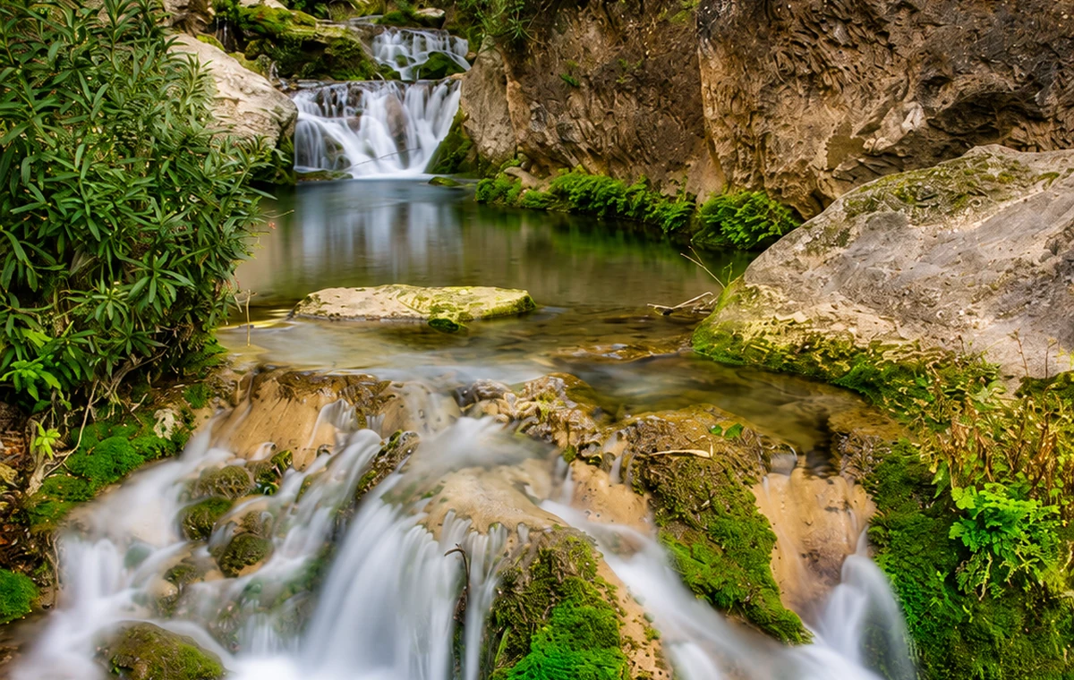 Chefchaouen Route Waterfall
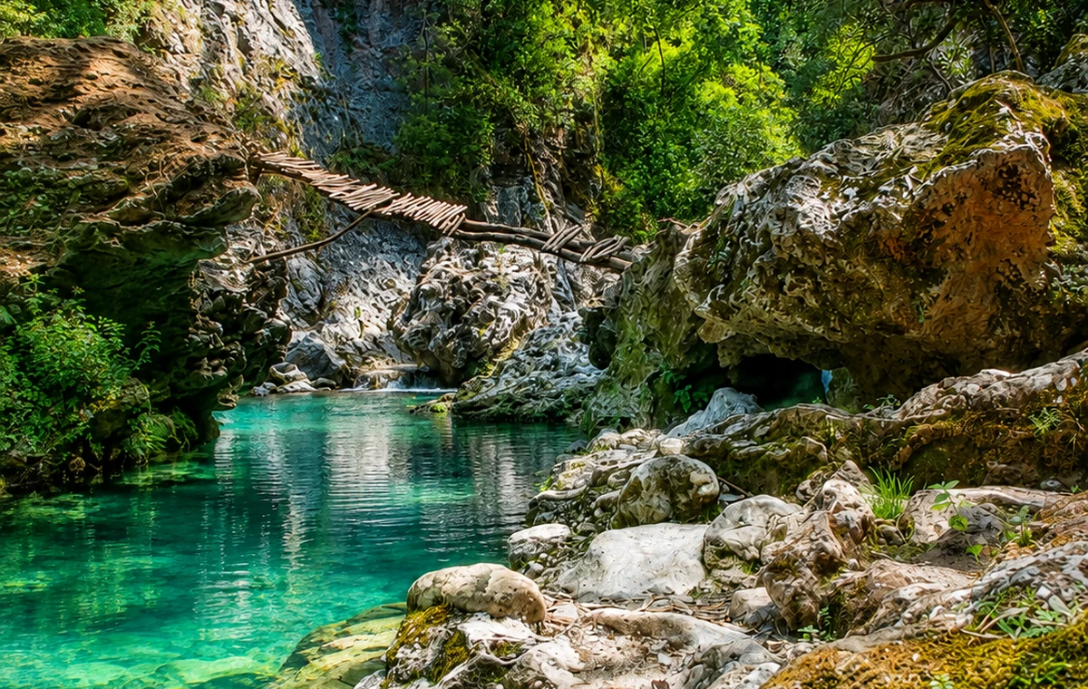 Mountain Pools
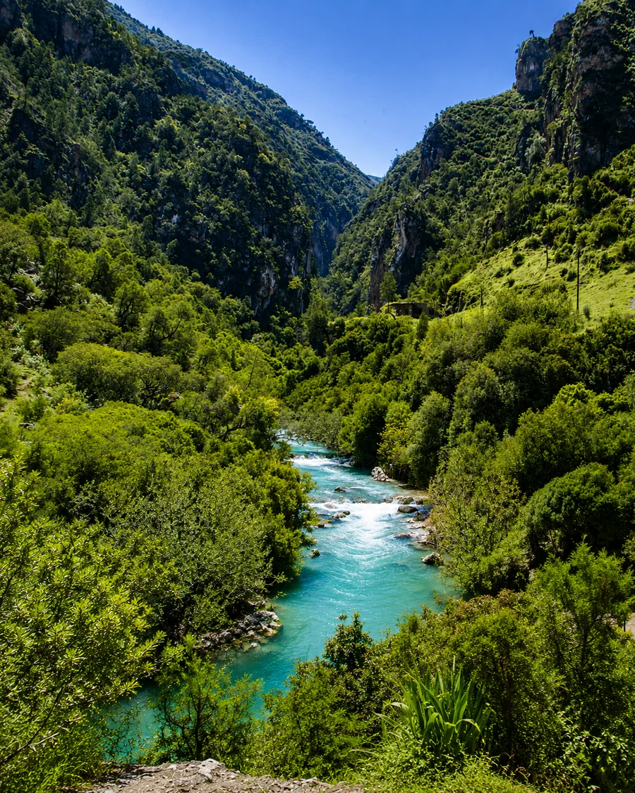 Talassemtane Valley
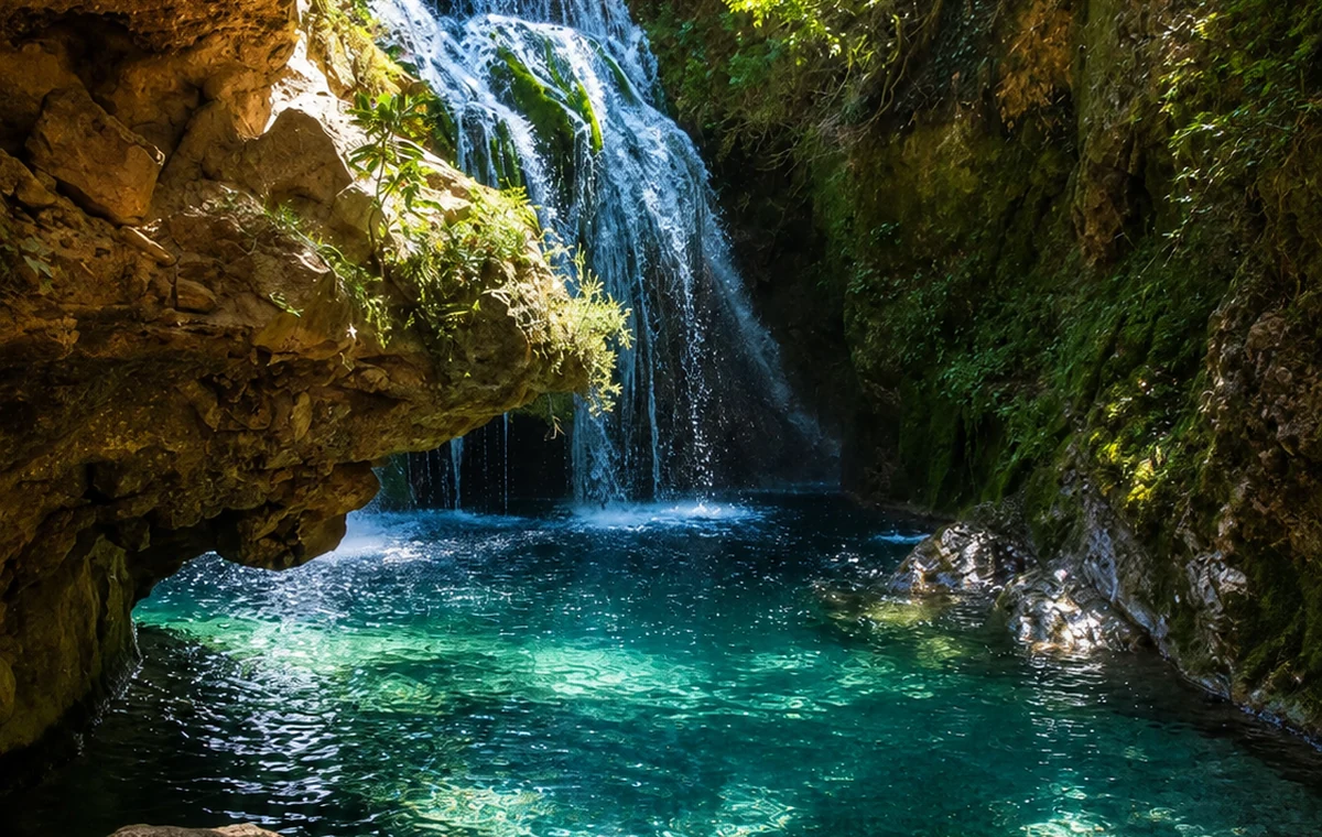 Talassemtane National Park Water
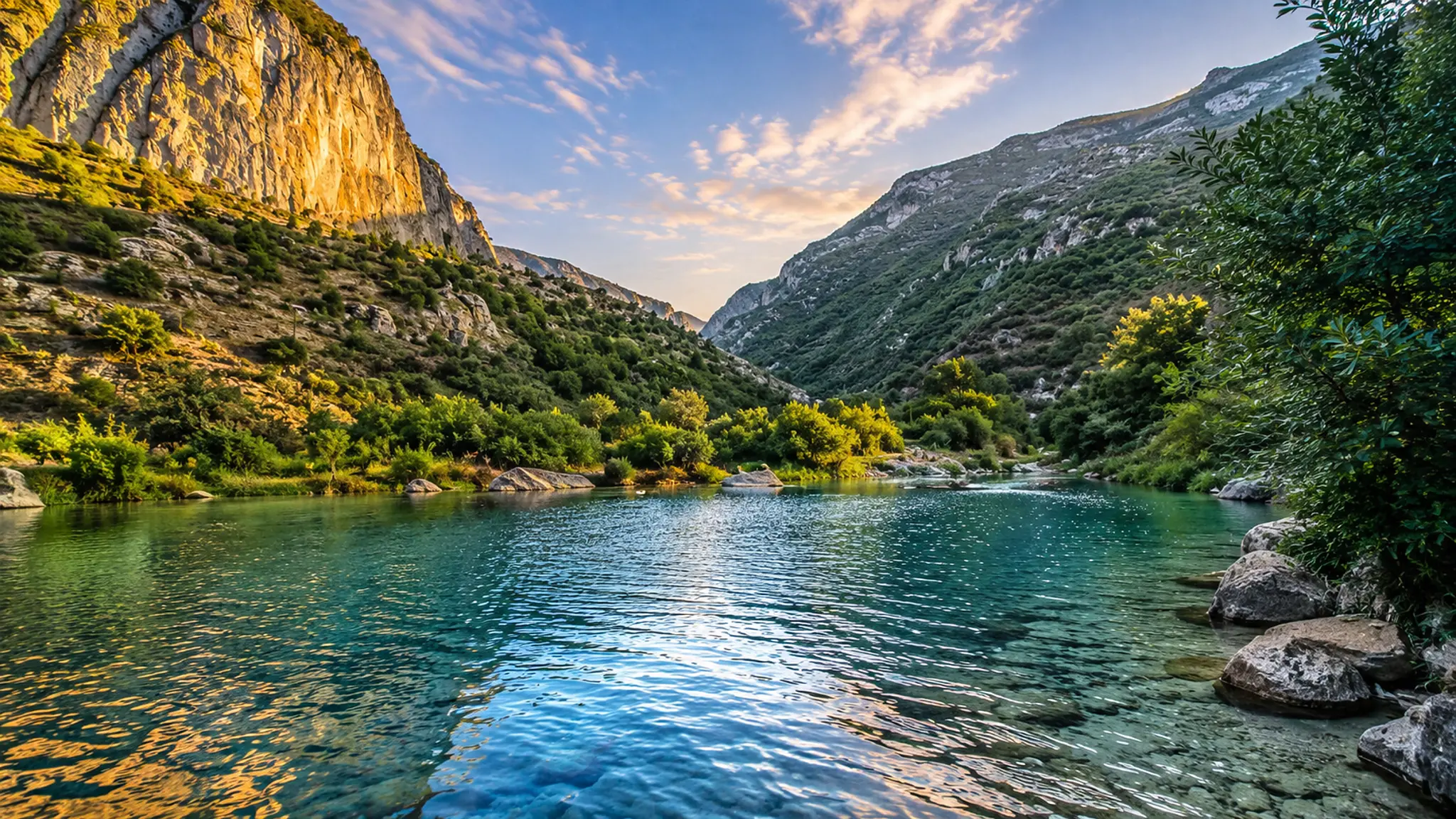 Talassemtane landscape
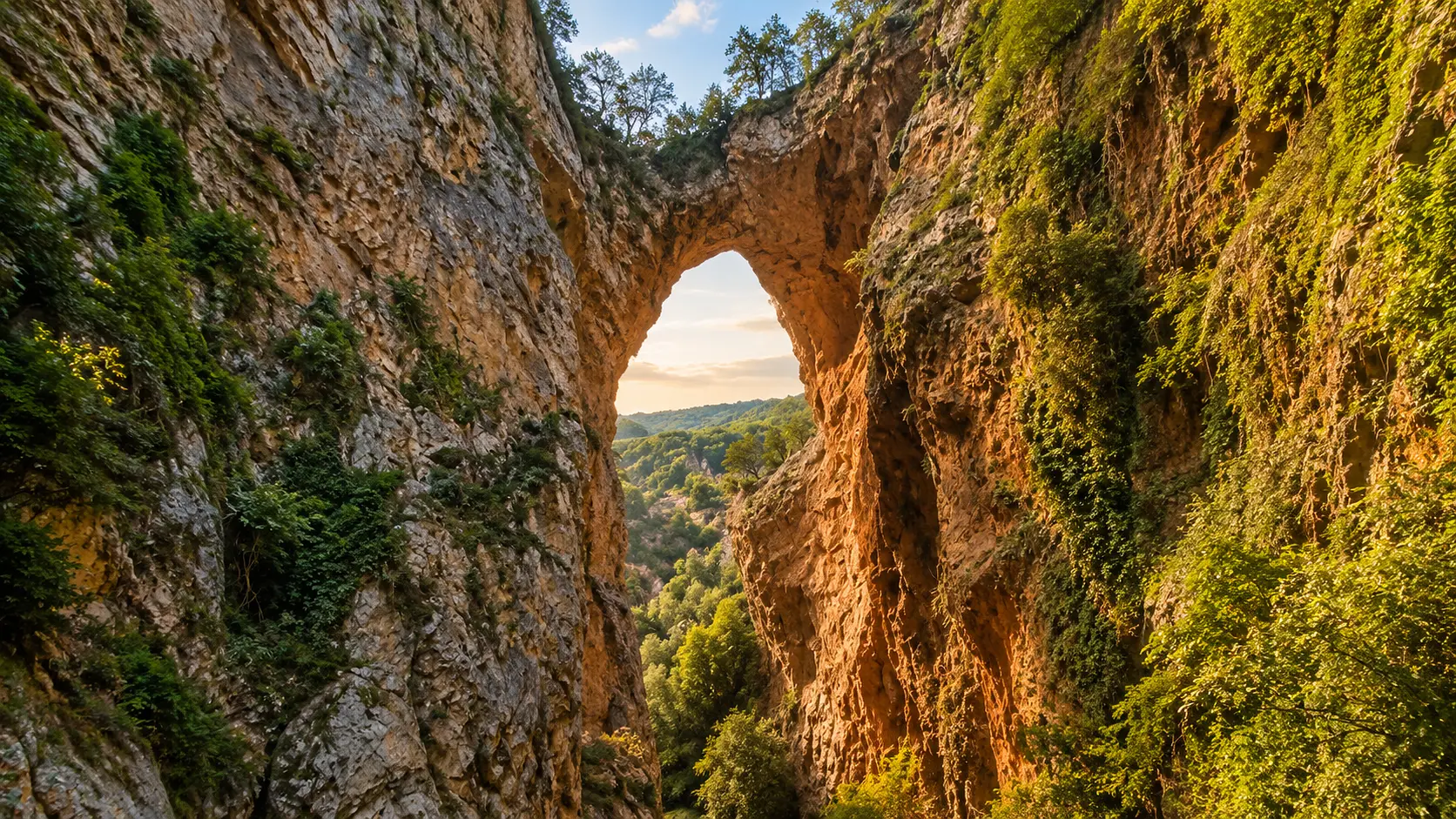 Limestone arch · Akchour connection
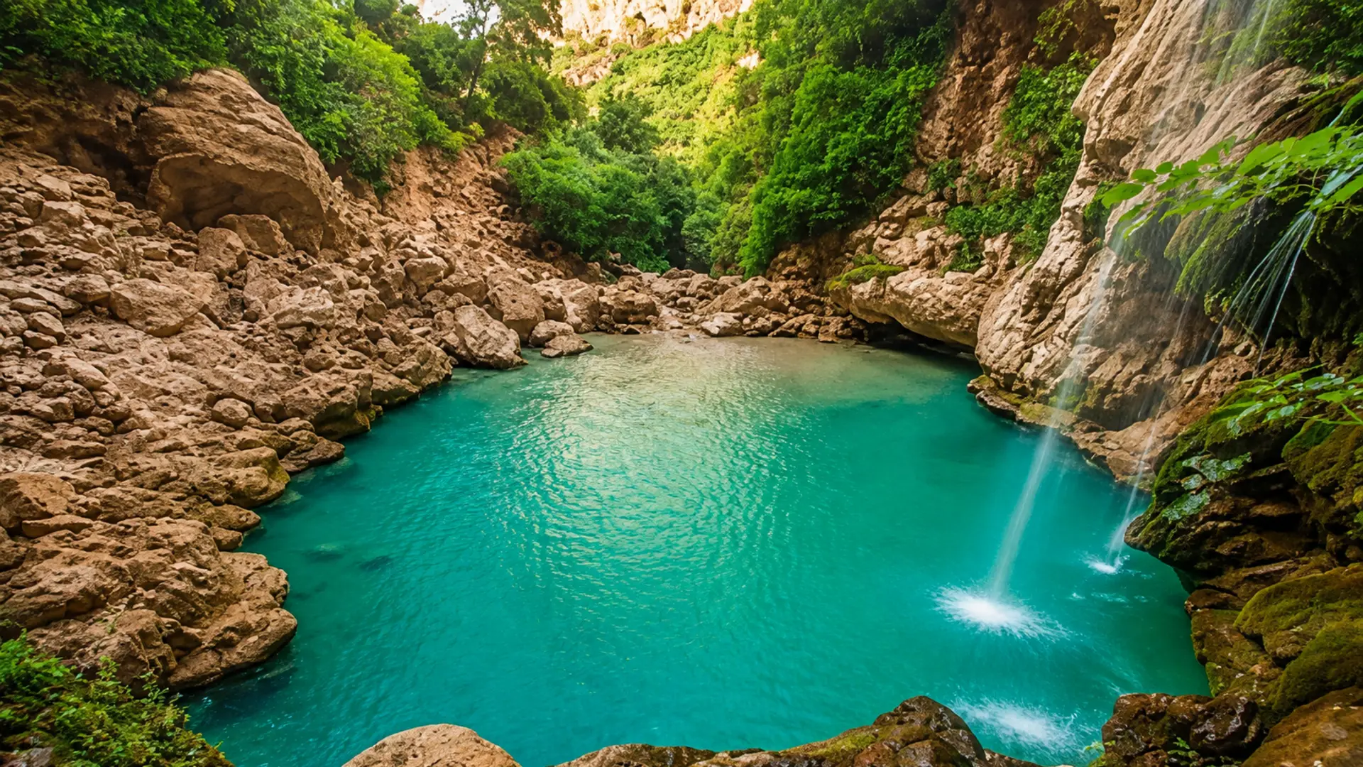 Akchour river approach
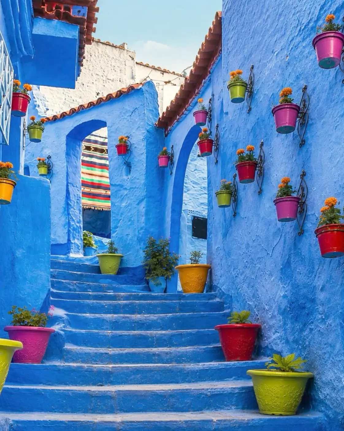 Chefchaouen gatewayRif river gorge
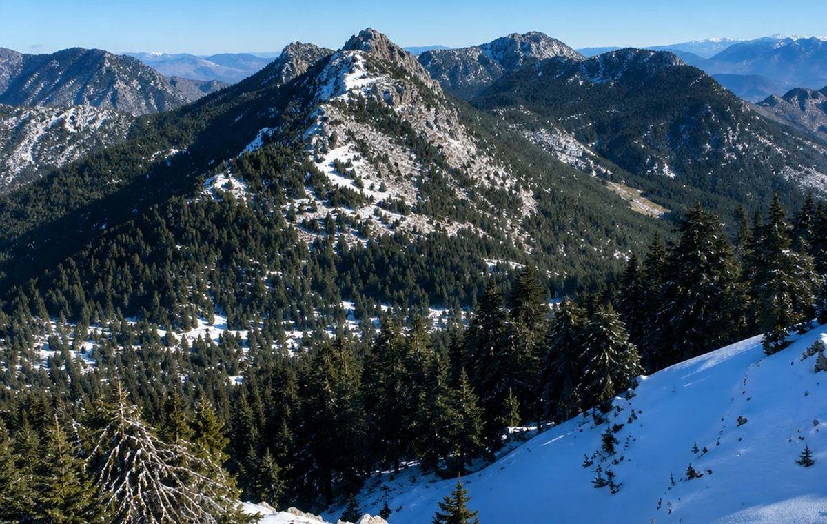
A Rif national park landscape of cliffs, trails, biodiversity and mountain forest routes.
Story and route: connect Chefchaouen, Akchour and the Rif mountain trails through Talassemtane National Park.
A national park is a landscape with management needs, inhabited connections and changing conditions. Select a particular walk with current local advice instead of treating the park name as one attraction you can simply arrive at. Forest, limestone relief and village routes offer different points of attention. Keep to appropriate paths, avoid disturbing wildlife and let a knowledgeable guide explain features you cannot identify reliably from a view alone.
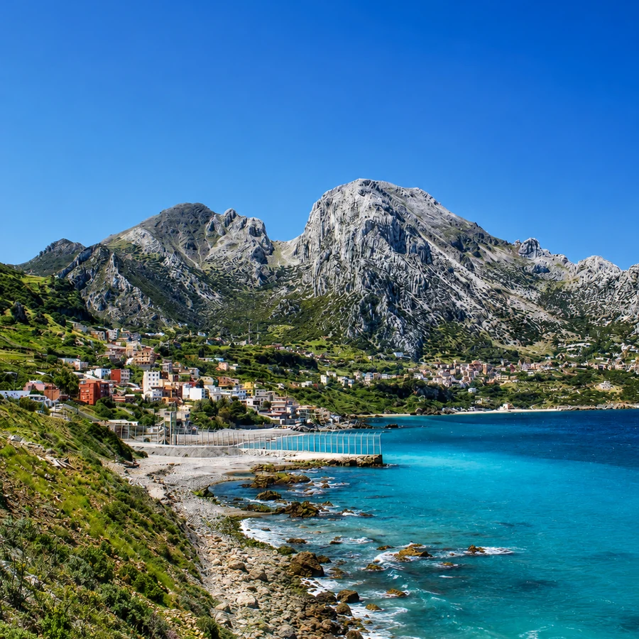
A coastal village and mountain landscape facing the Strait, Ceuta and Gibraltar-route horizons.
Reason: it opens a northern edge where mountain, coast and Strait geography meet.
Story and route: link it with Tangier, Tetouan, Fnideq and the Jbel Musa protected landscape.
The close relationship between mountain and Strait makes this setting distinctive. A coastal visit and an ascent are different undertakings; establish the route and conditions before deciding which suits the day. The village is lived space, not only a foreground for the mountain. Ask before photographing people, keep access clear and use local guidance for places beyond the public route. A broad view towards the Strait can be appreciated without assuming unrestricted access everywhere it shows.
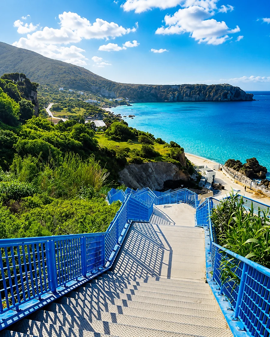 Belyounech And Jbel musa Coast
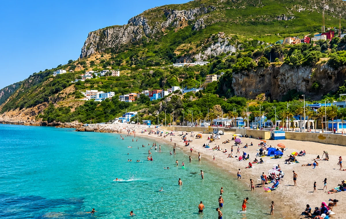 Belyounech Beach Village
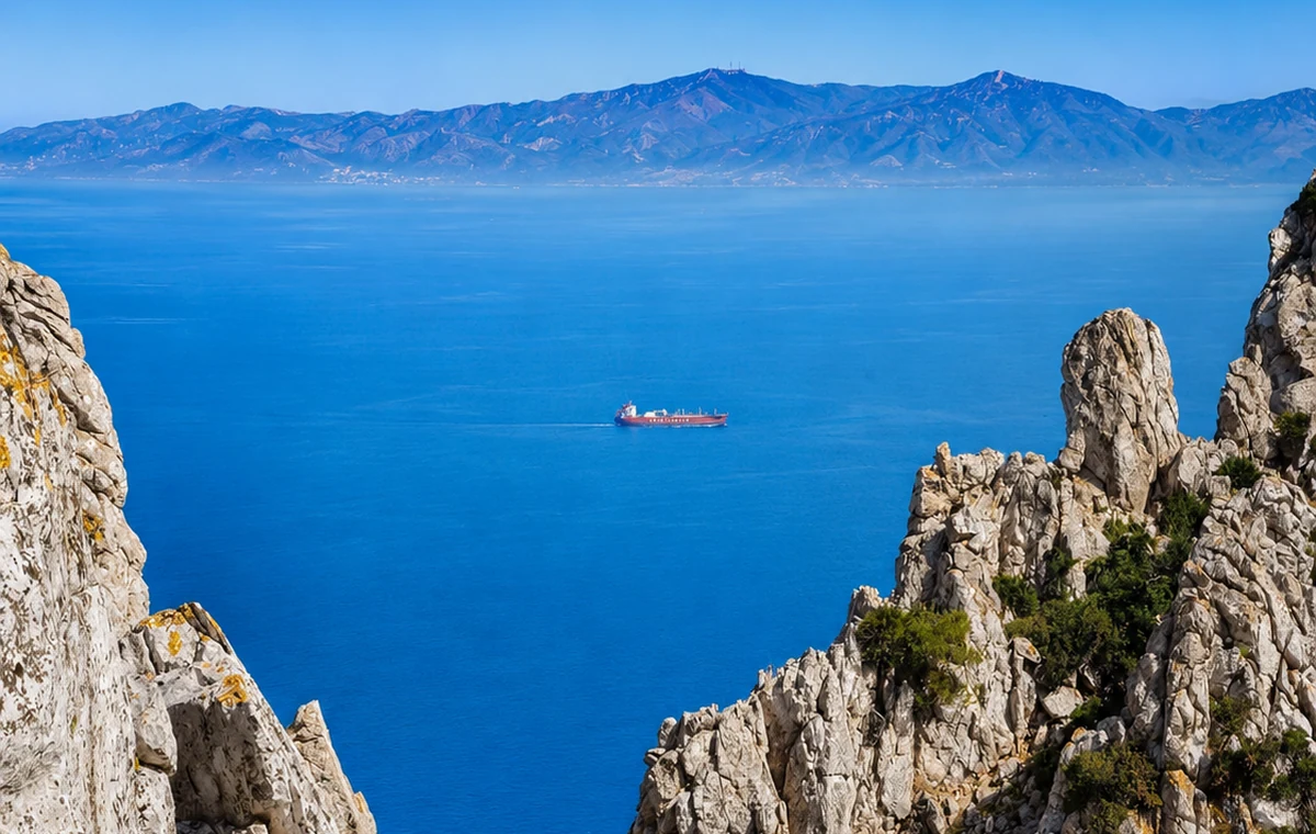 Jbel musa Cliffs
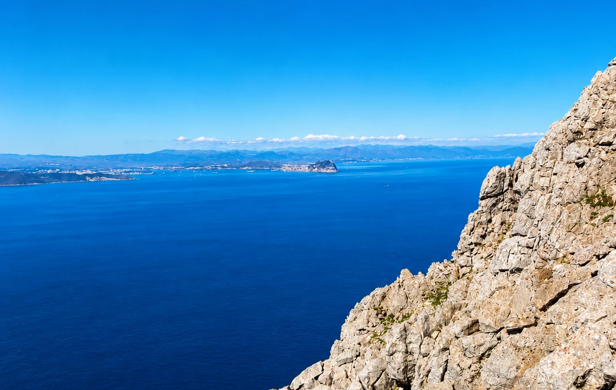 Strait Views
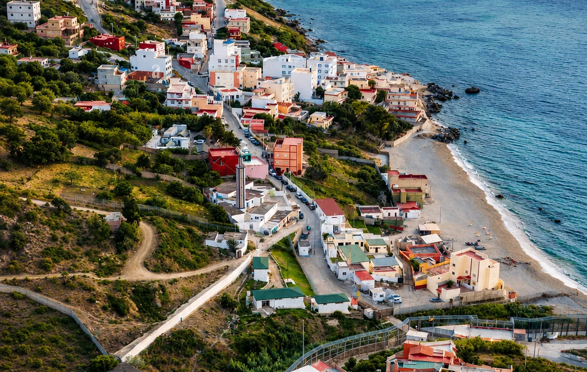 Coastal Village
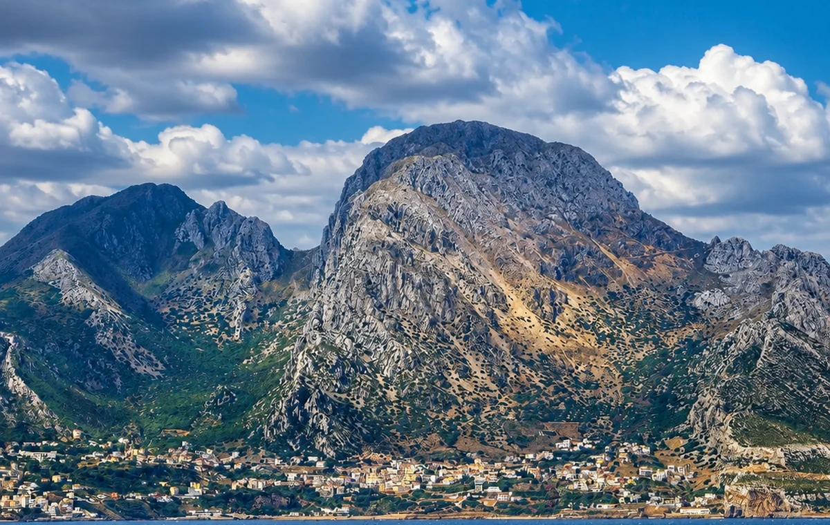 Pillars Of Hercules Landscape
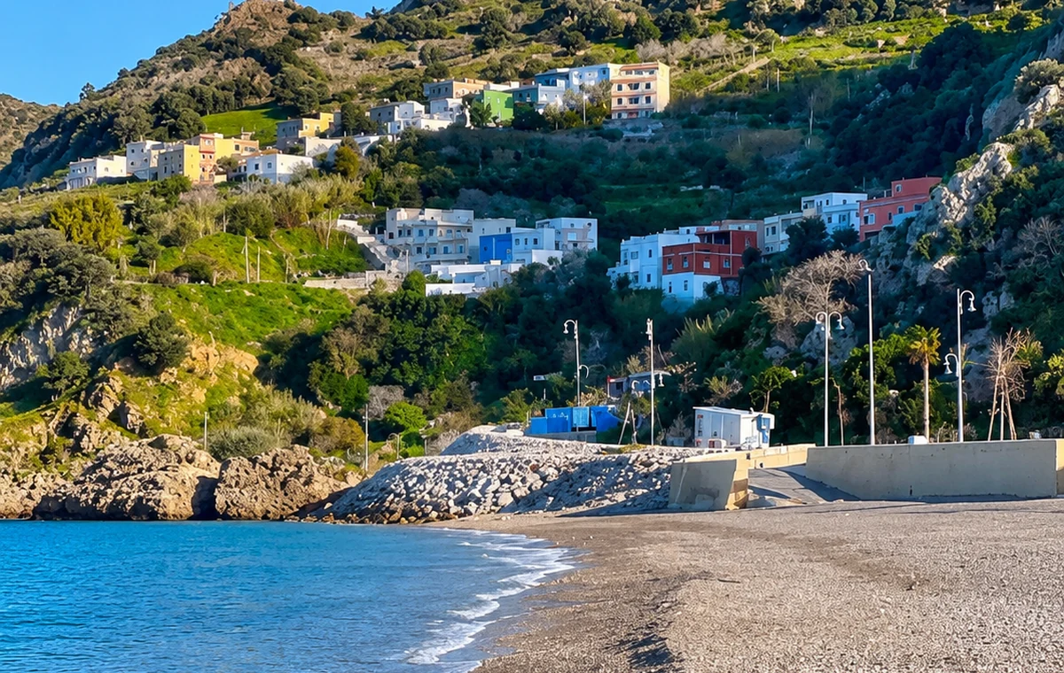 Ceuta Facing Coast
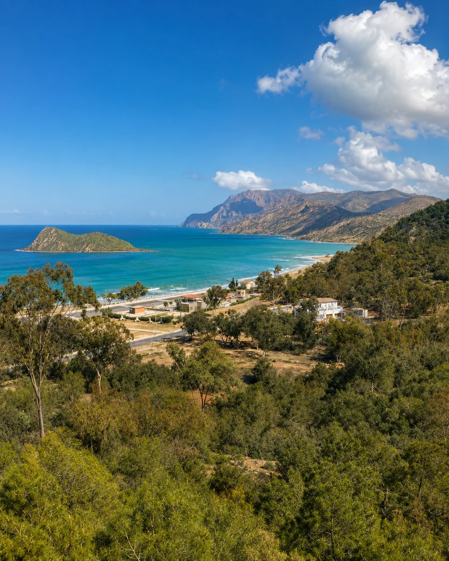 Cala Iris Cove
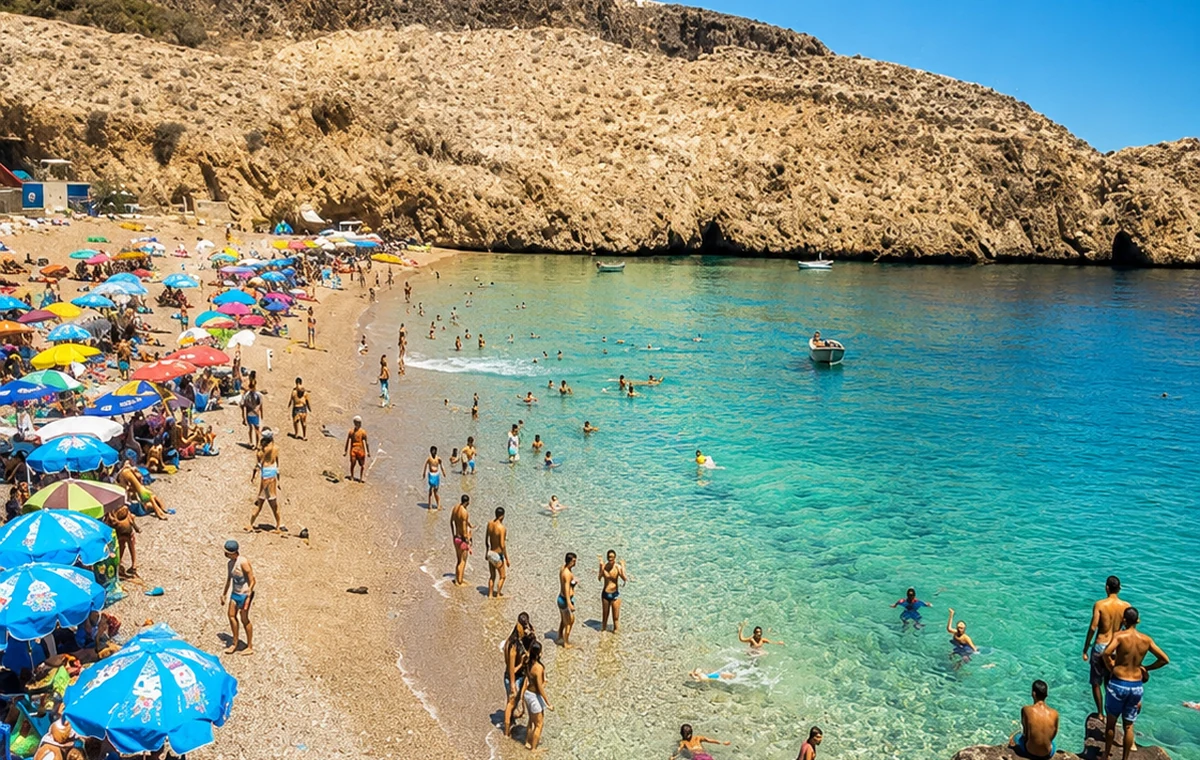 Cala Iris Beach Cove
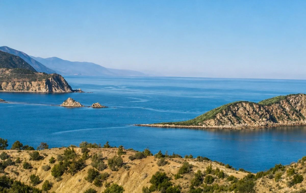 Rif Shore
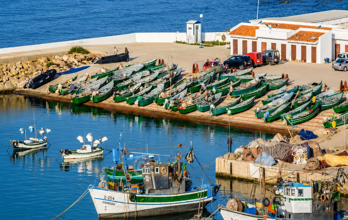 Fishing Village Harbor
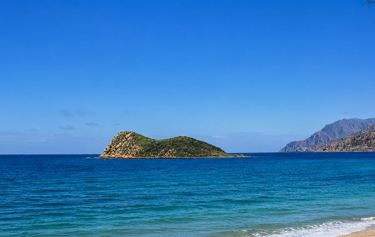 Mediterranean Water
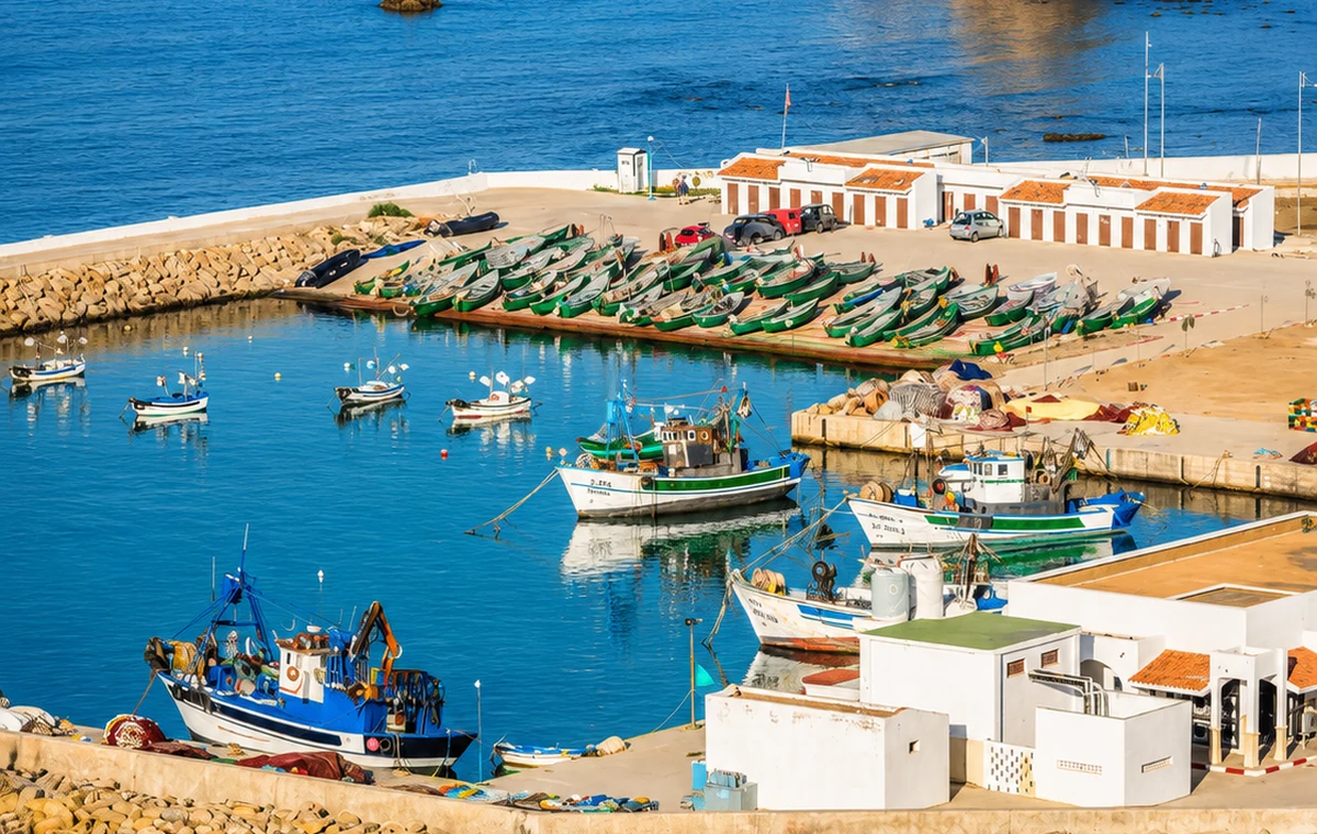 Al Hoceima Route Harbor
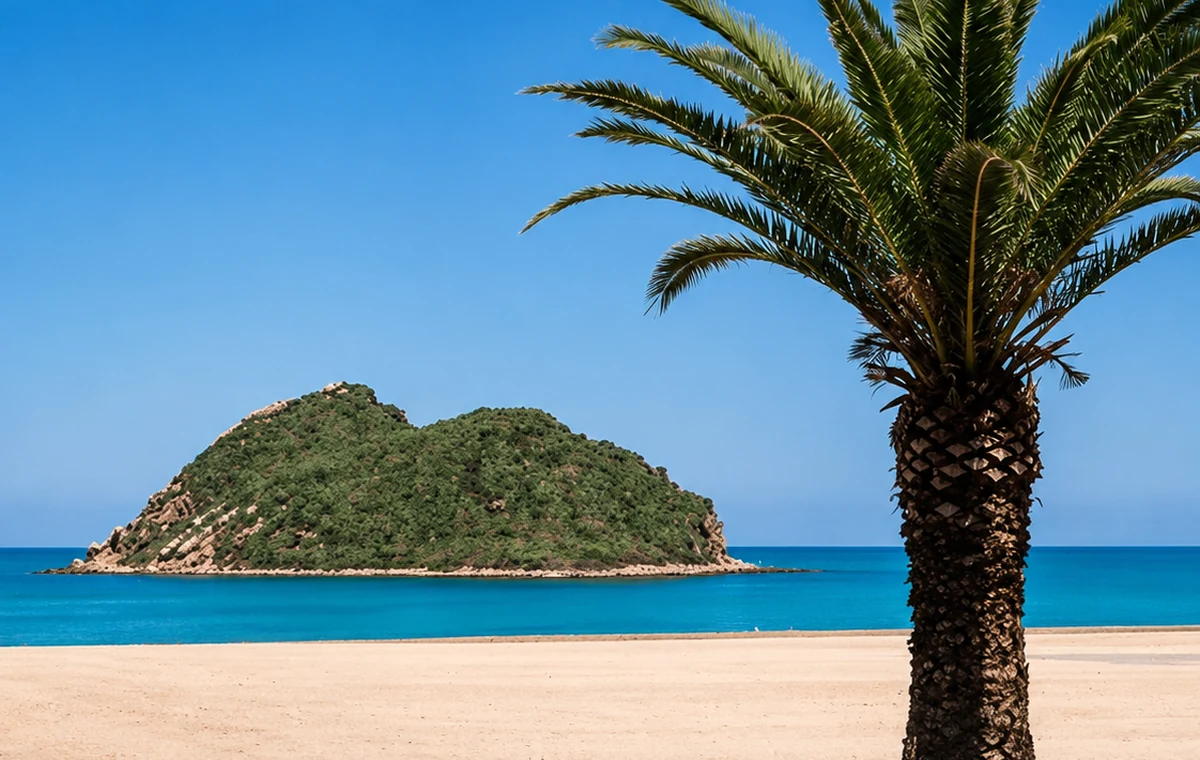 Coastal Rocks And Palms
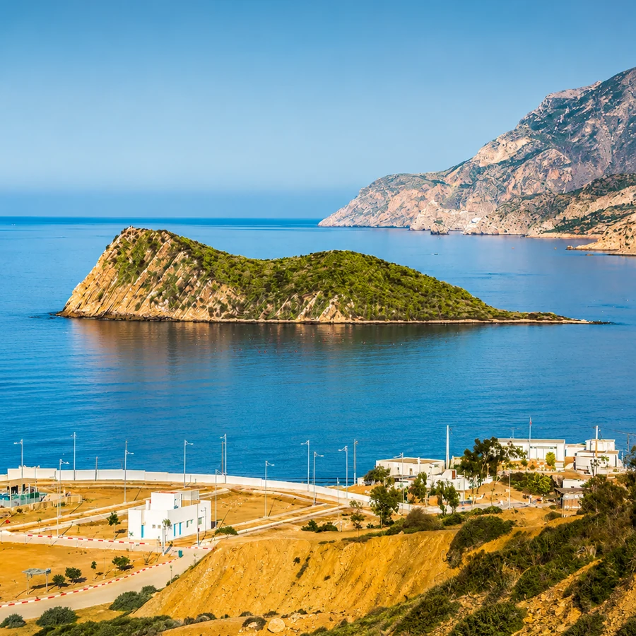
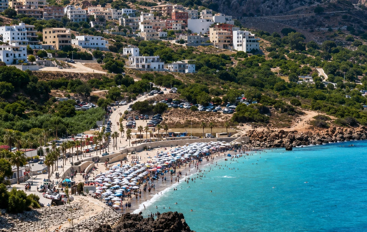
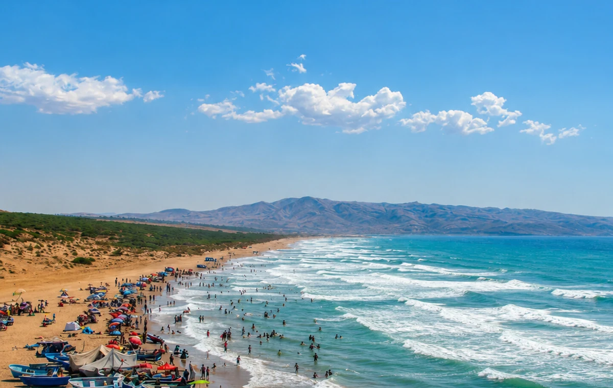
A quiet Mediterranean cove on the Rif shore, linked with fishing life and the Al Hoceima coastal route.
Story and route: connect it with the Mediterranean rocade, Al Hoceima and the Rif coastal landscape.
Small coves work at a different scale from major beach resorts. Fishing activity, local access and weather can shape the experience more than a list of attractions. Give the place room to be ordinary: watch from an appropriate public position, avoid obstructing work and ask before arranging any activity on the water. The approach along the Rif coast deserves time as well; a short-looking distance can involve a winding road and several changes of viewpoint.
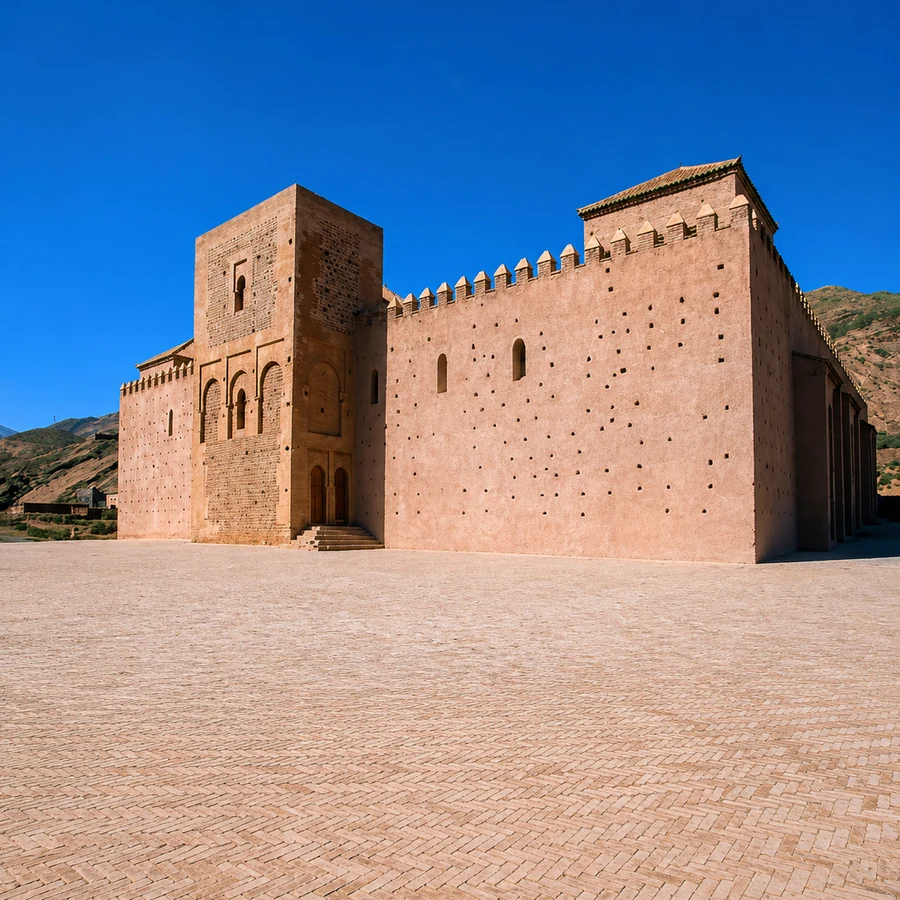
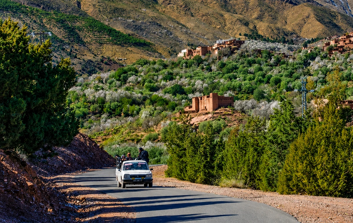
A High Atlas heritage stop centred on Tinmel Mosque, Almohad memory and the Tizi n’Test route.
Reason: Tinmel adds a mountain monument and Almohad chapter to the discovery route.
Story and route: place it carefully on the High Atlas road logic between Marrakech, valleys and Tizi n’Test.
Tinmel connects Almohad history with a High Atlas setting, but the monument and its access must be understood in the present. The mosque was severely damaged in the September 2023 earthquake. Check current restoration and visitor arrangements before planning a stop; older photographs do not establish what can now be entered or seen. The surrounding communities and roads also have their own recovery and daily needs. Approach the visit with local information rather than an assumed monument circuit.
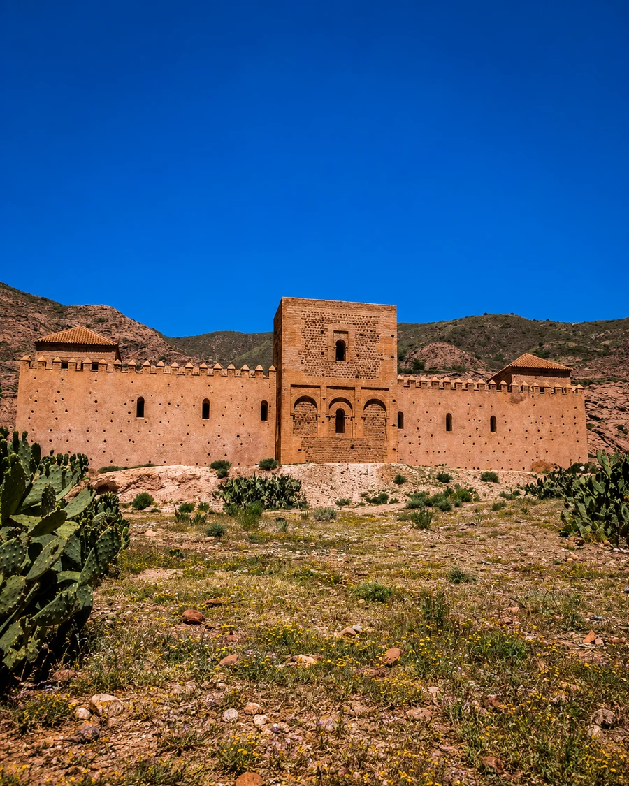 Tinmel Mountain Mosque
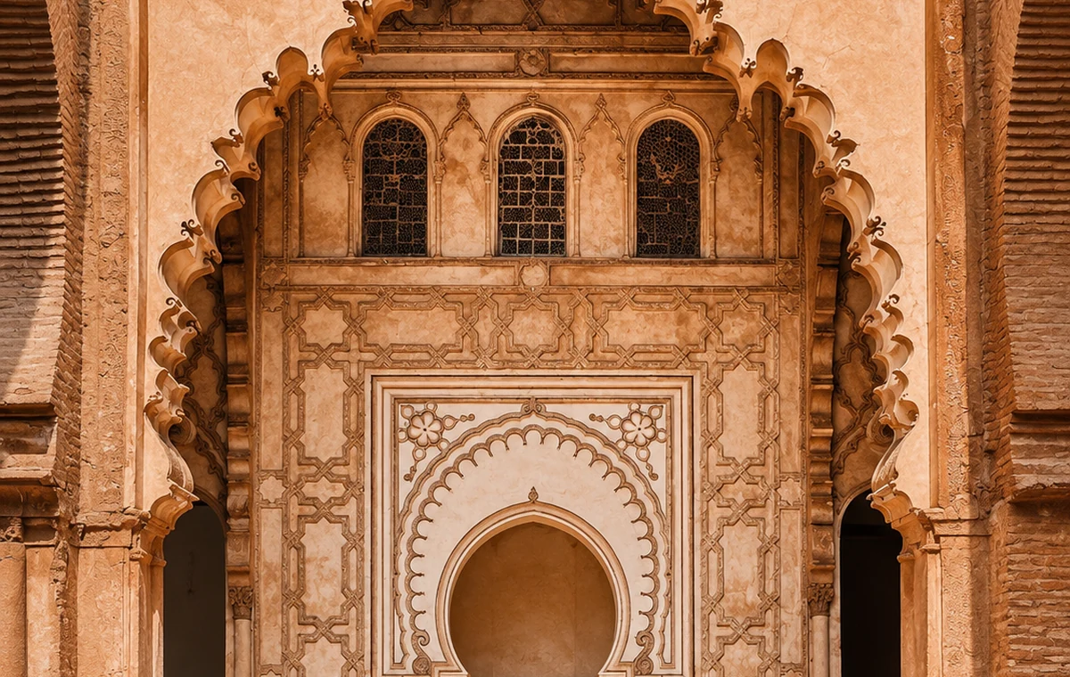 Tinmel Mosque Portal
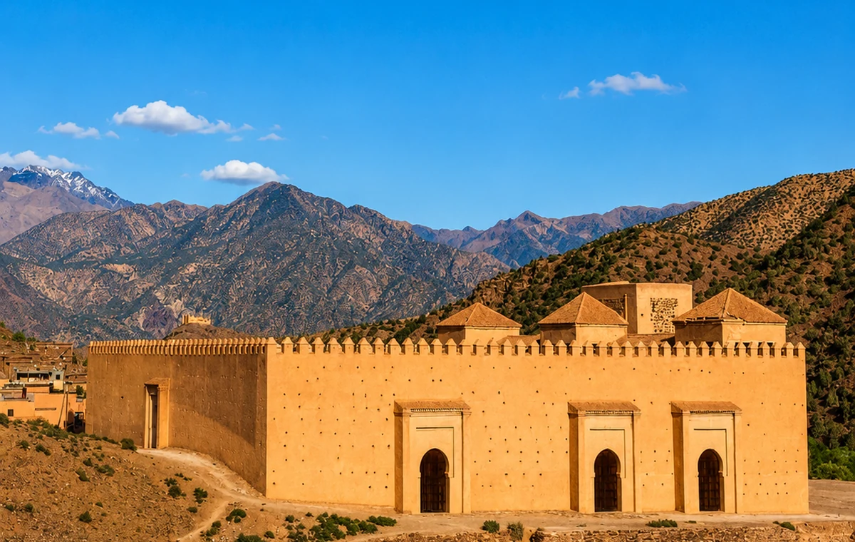 High Atlas Valley
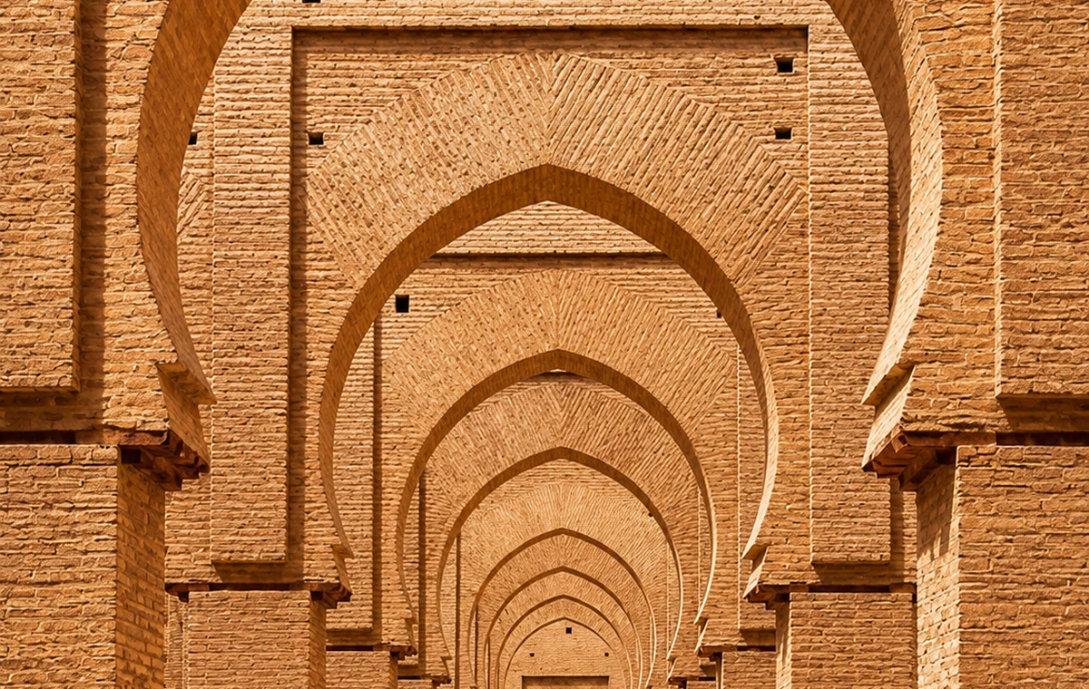 Almohad Heritage Arches
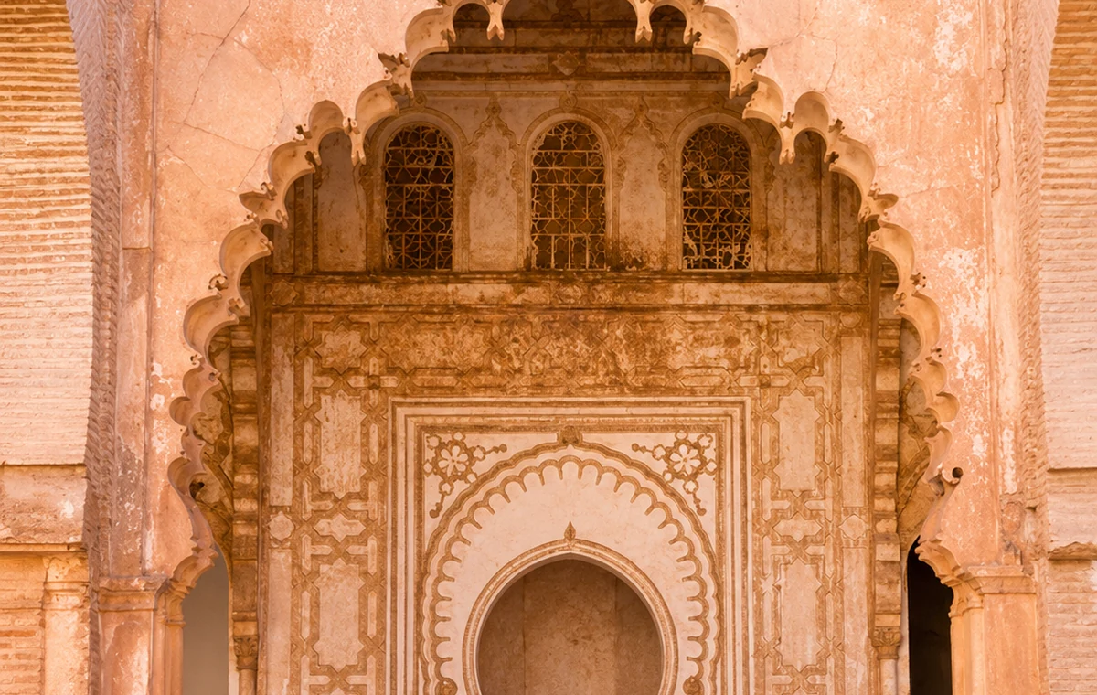 Ibn Tumart Memory Portal
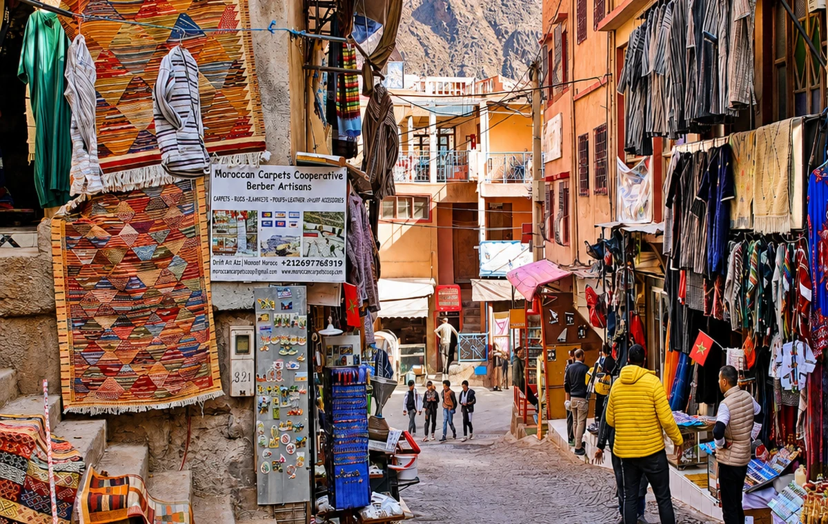 Tizi Ntest Route Market
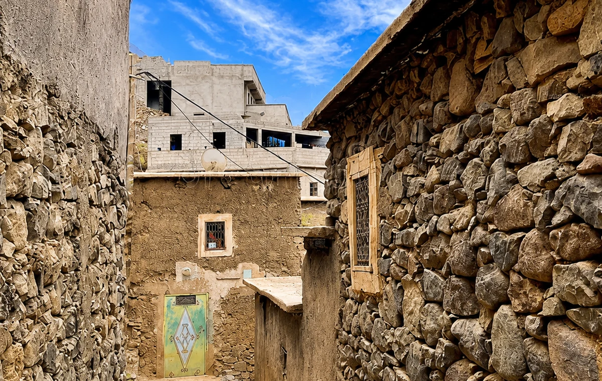 Mountain Village Lane
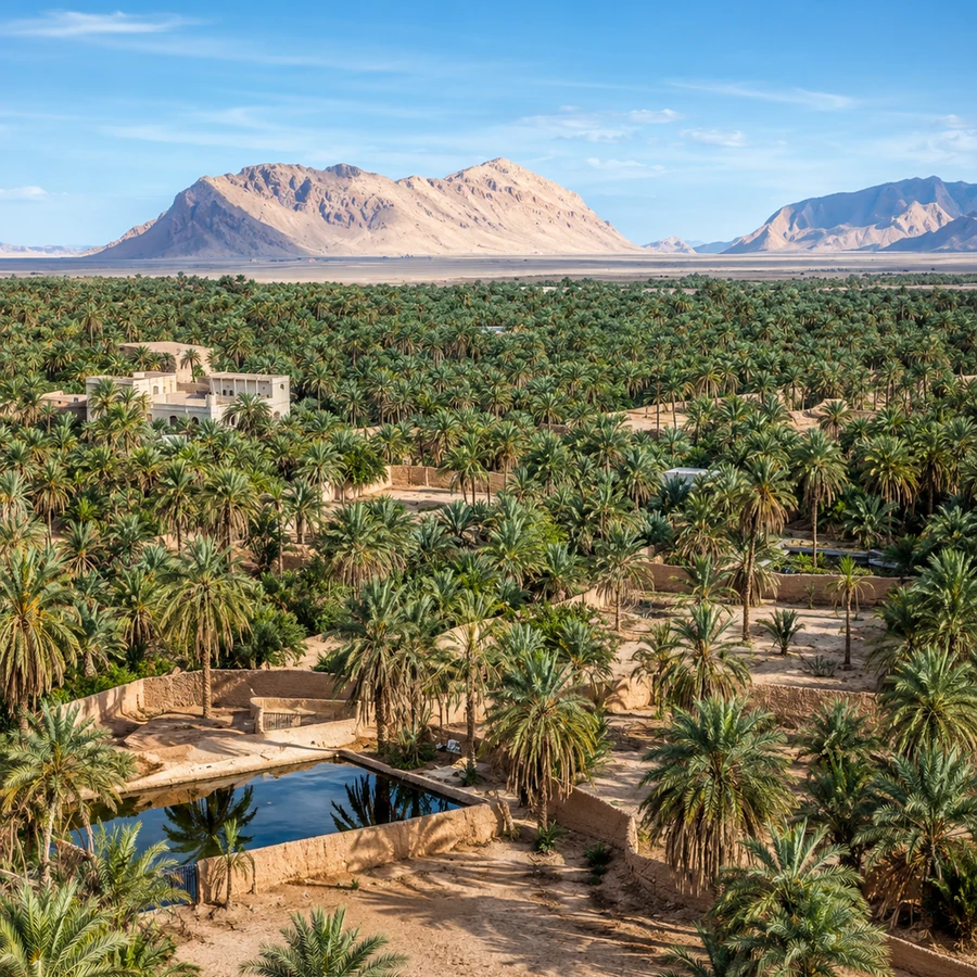
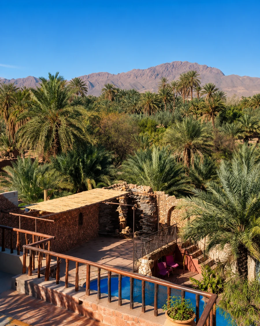 Figuig Palm Oasis
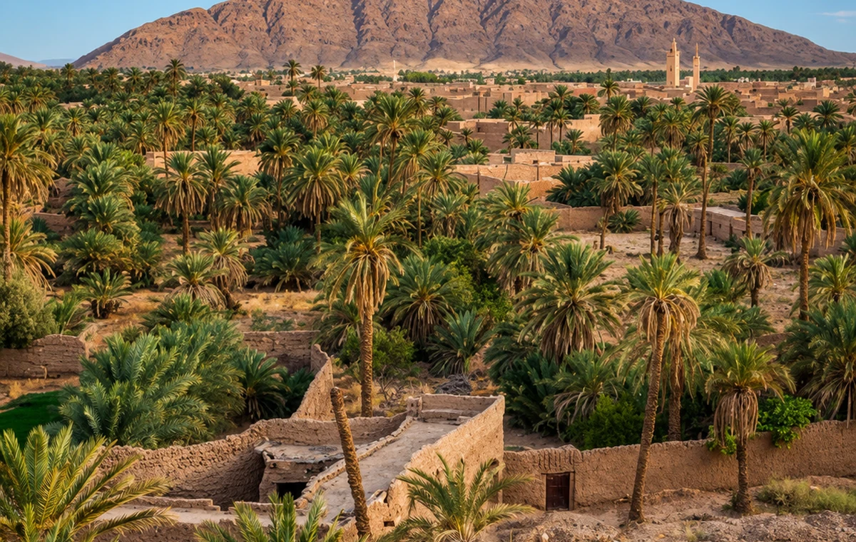 Figuig Oasis Edge
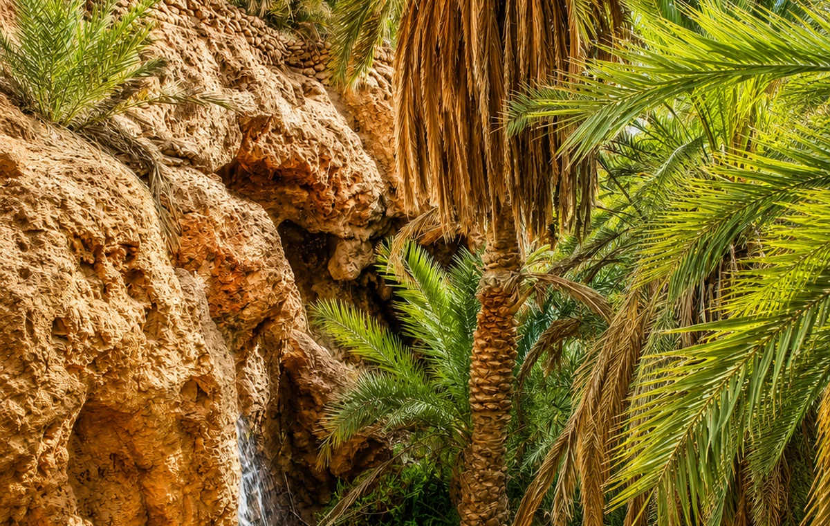 Palm Groves
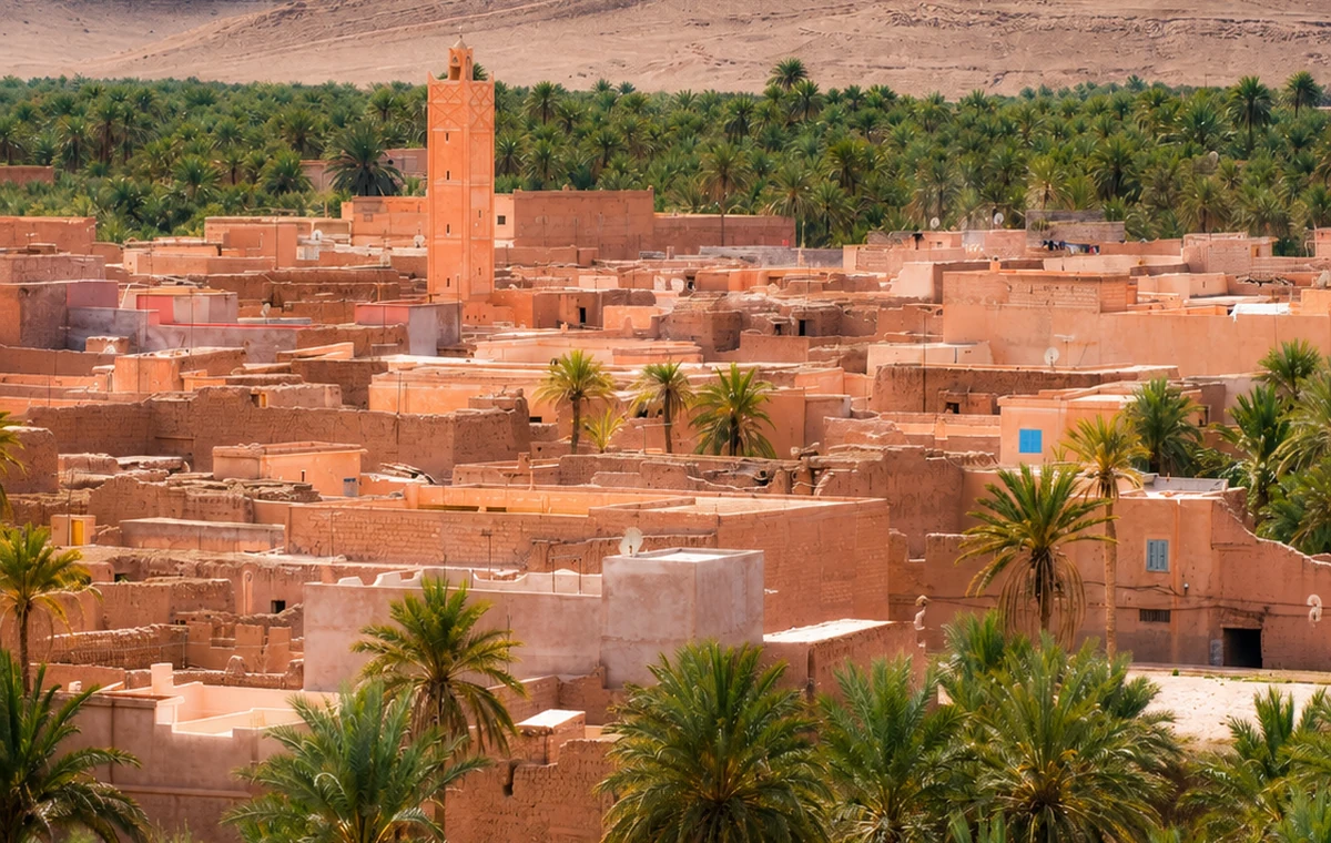 Ksour And Palms
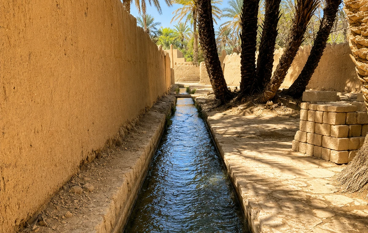 Water Channels
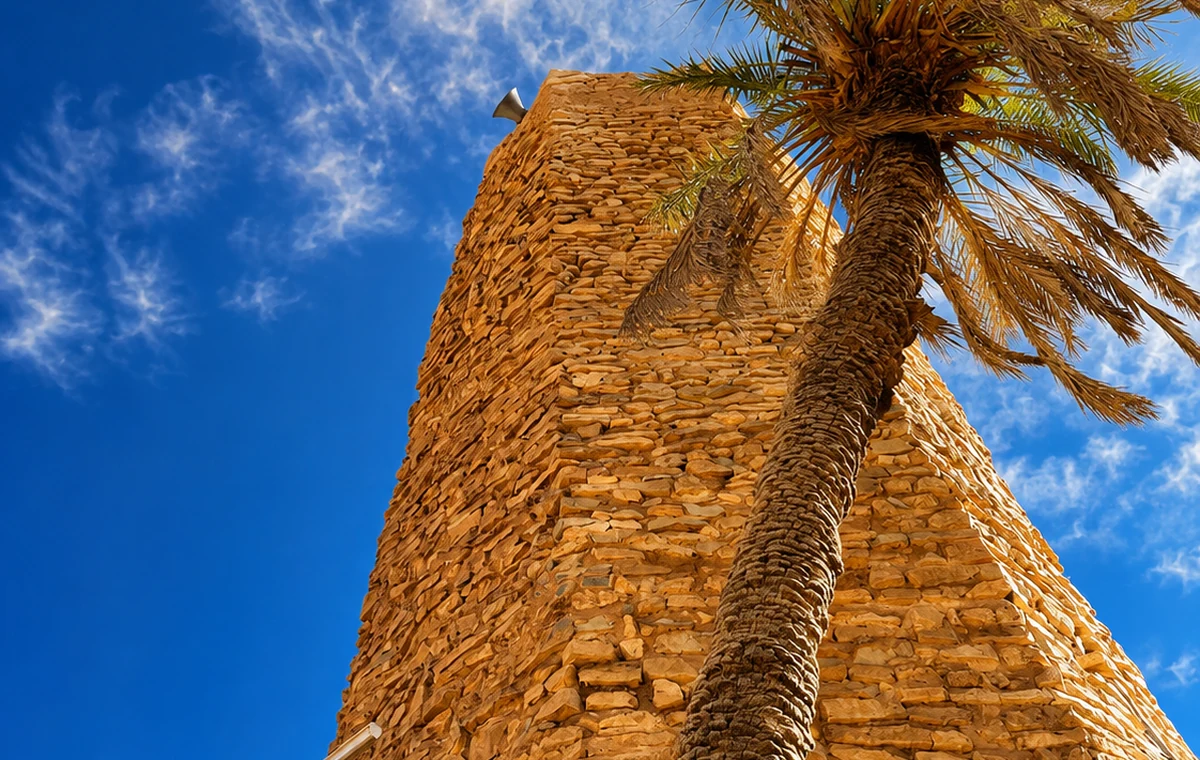 Date Palms And Tower
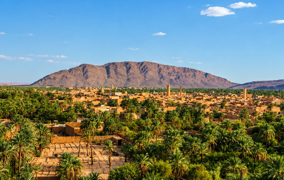 Borderland Heritage
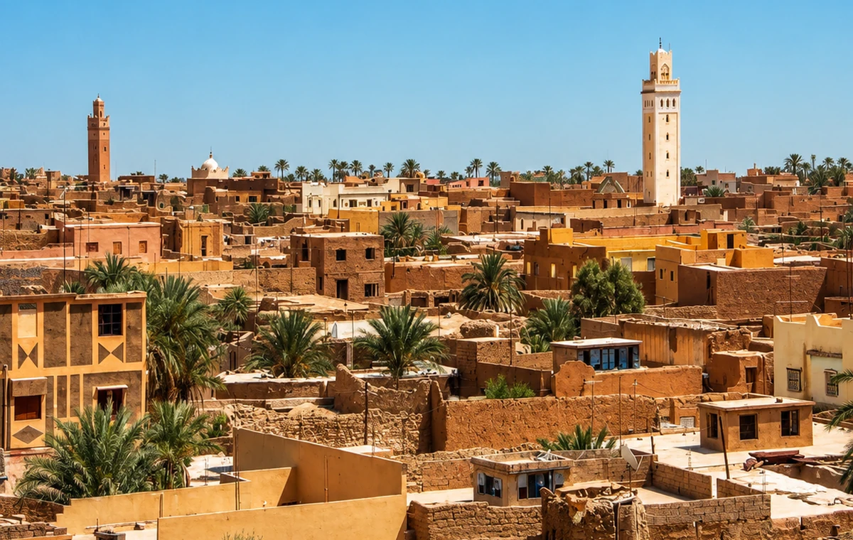
An eastern oasis of ksour, palm groves, date culture and social water-management heritage.
Story and route: connect the ksour, palm plots and water channels with Morocco’s eastern borderland route.
The oasis is most revealing when palms, settlement and water are read as one managed system. FAO recognises the relationship between the ksour and collective organisation of land and water. That account should lead towards careful observation, not unrestricted wandering through productive plots. Ask a knowledgeable local person to explain a visible feature and distinguish their account from your own impression. Figuig is a distant eastern journey requiring time; it should not be added casually to a short Rif itinerary.
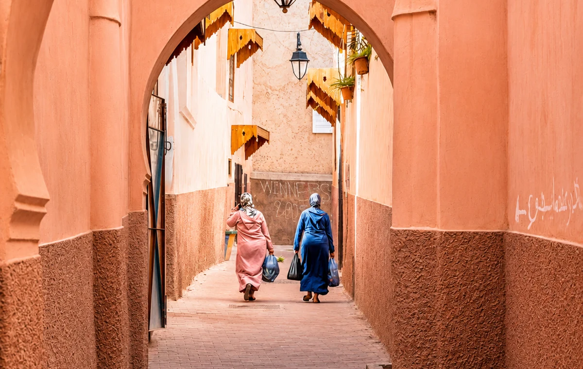
Small details carry the route: doorways, river walls, medina lanes, water paths, mountain views, mosque stone and oasis shade.
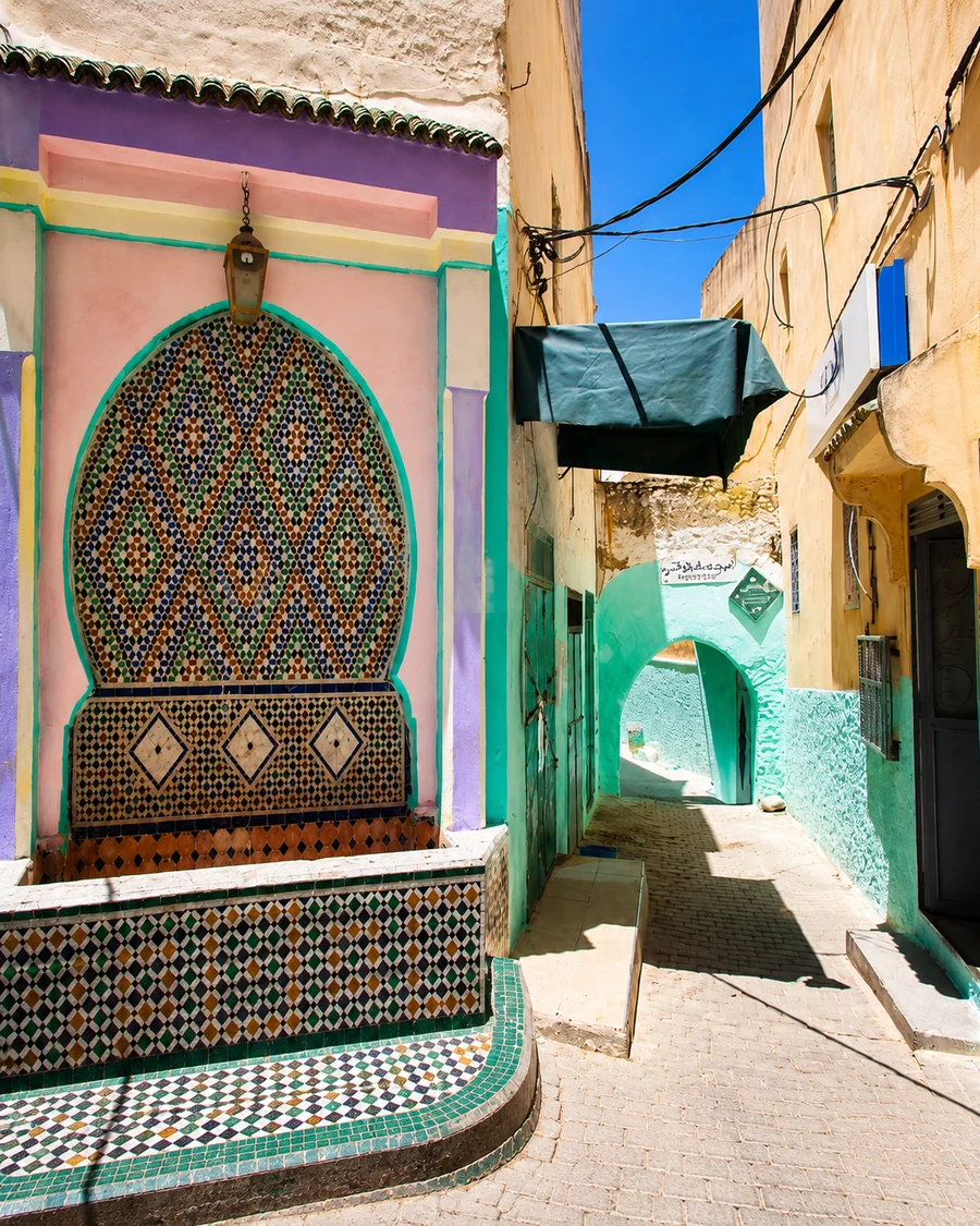 Sacred Doorway Detail
 Volubilis Route Columns
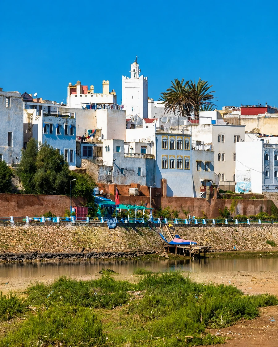 Azemmour River Houses
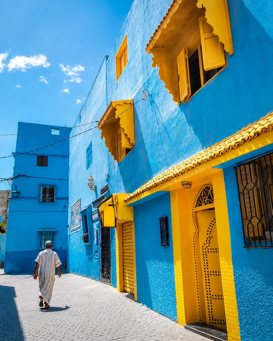 Painted Medina Color
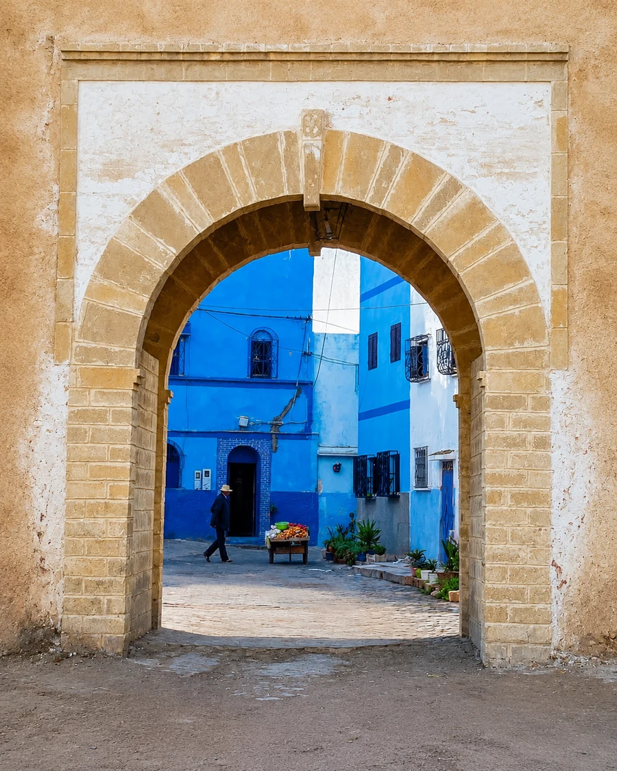 Hidden Medina Arch
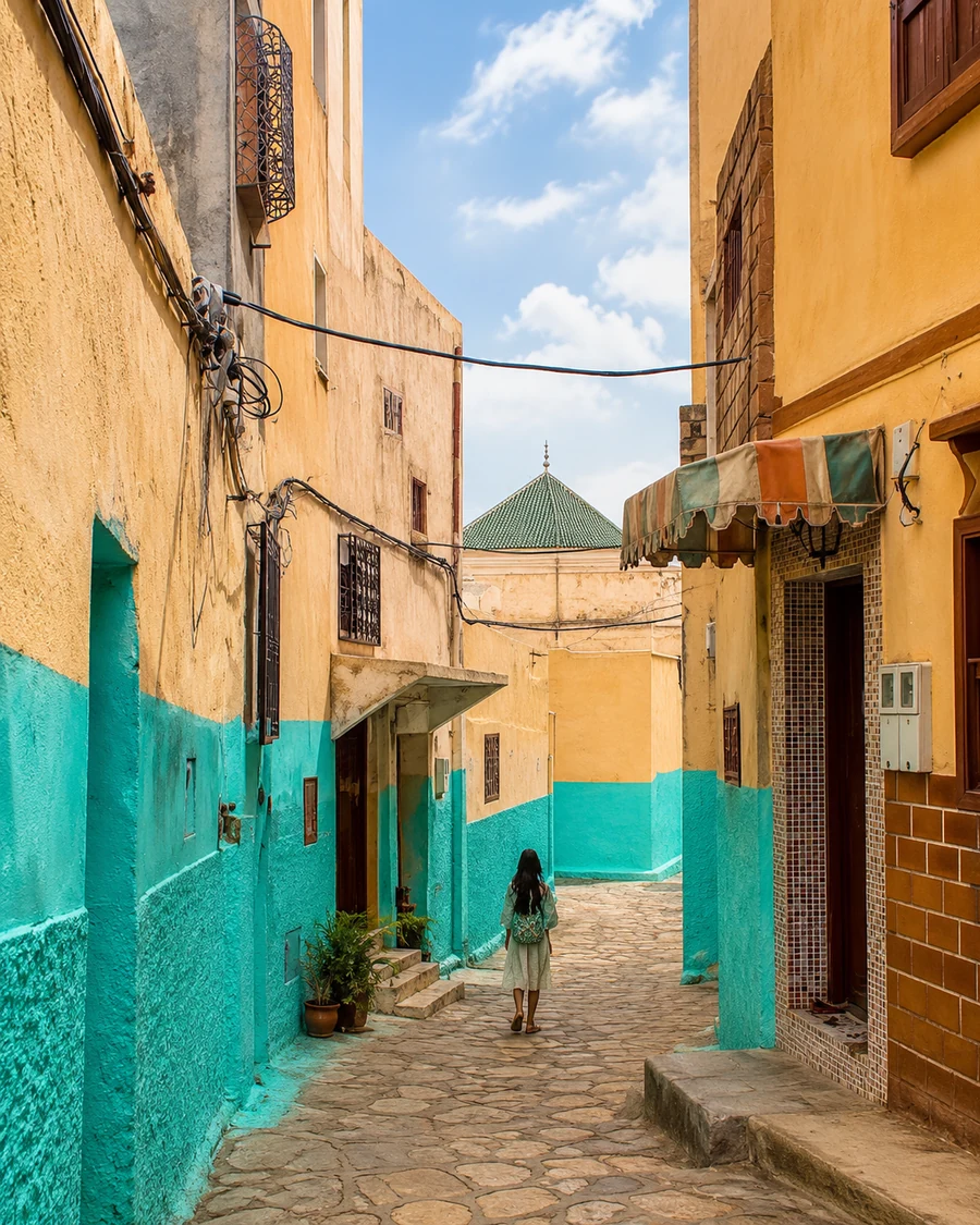 Bejaad Quiet Street
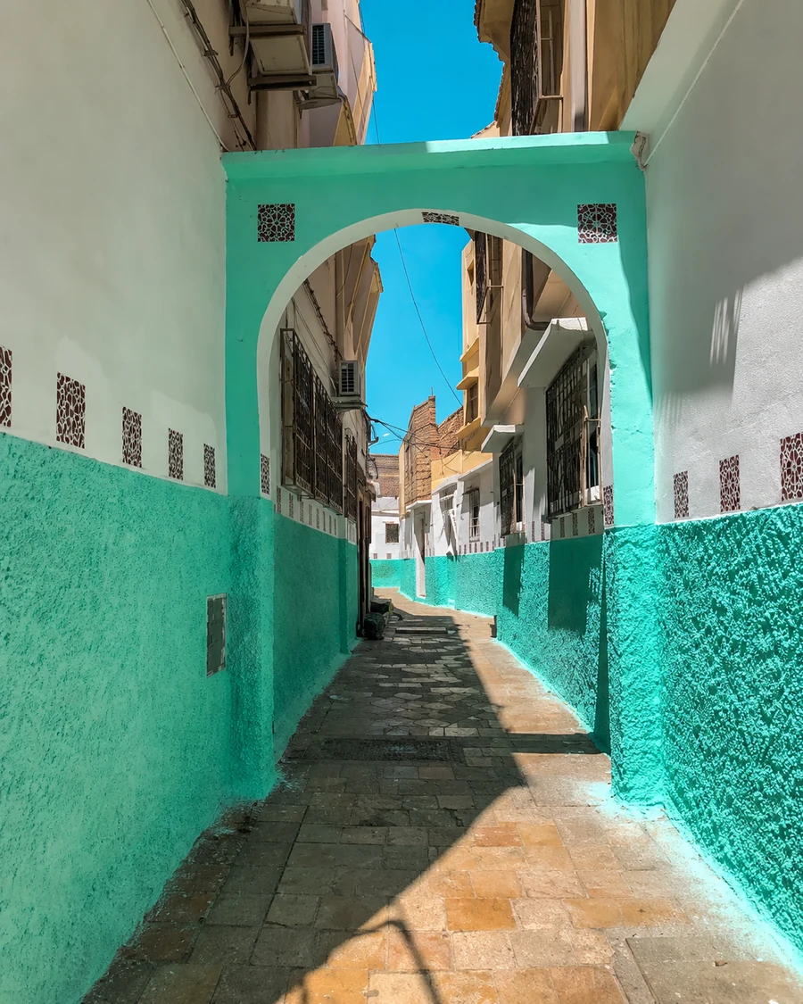 Boujaad Medina Passage
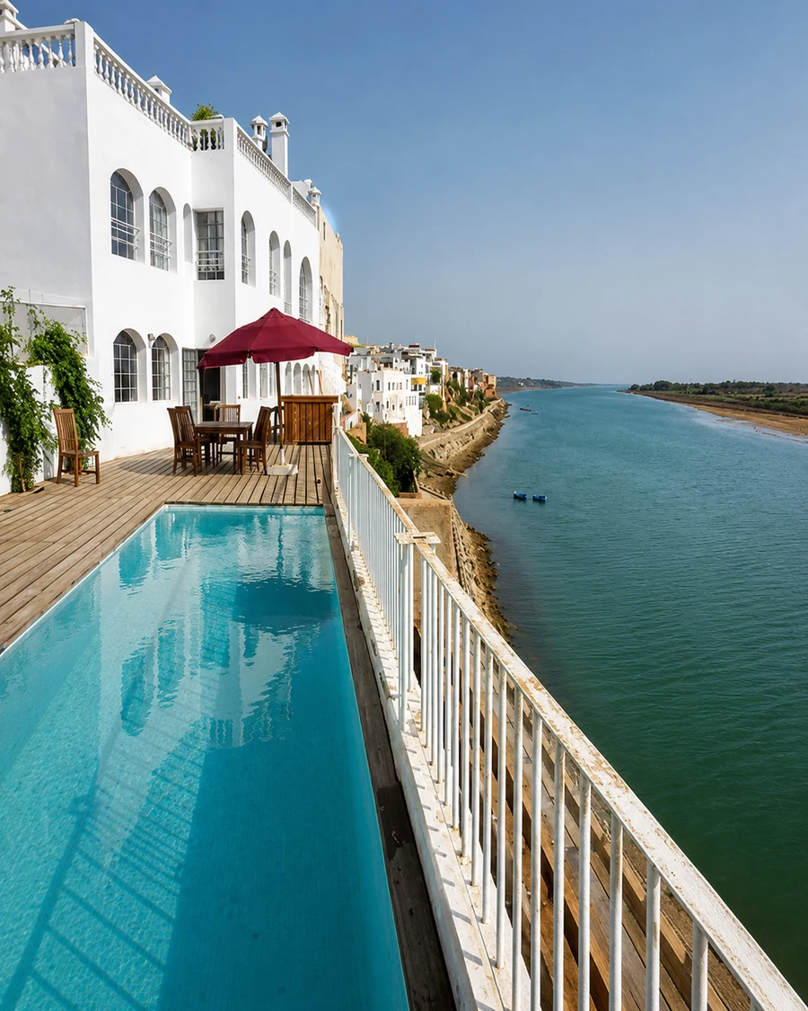 Waterside Hidden Route
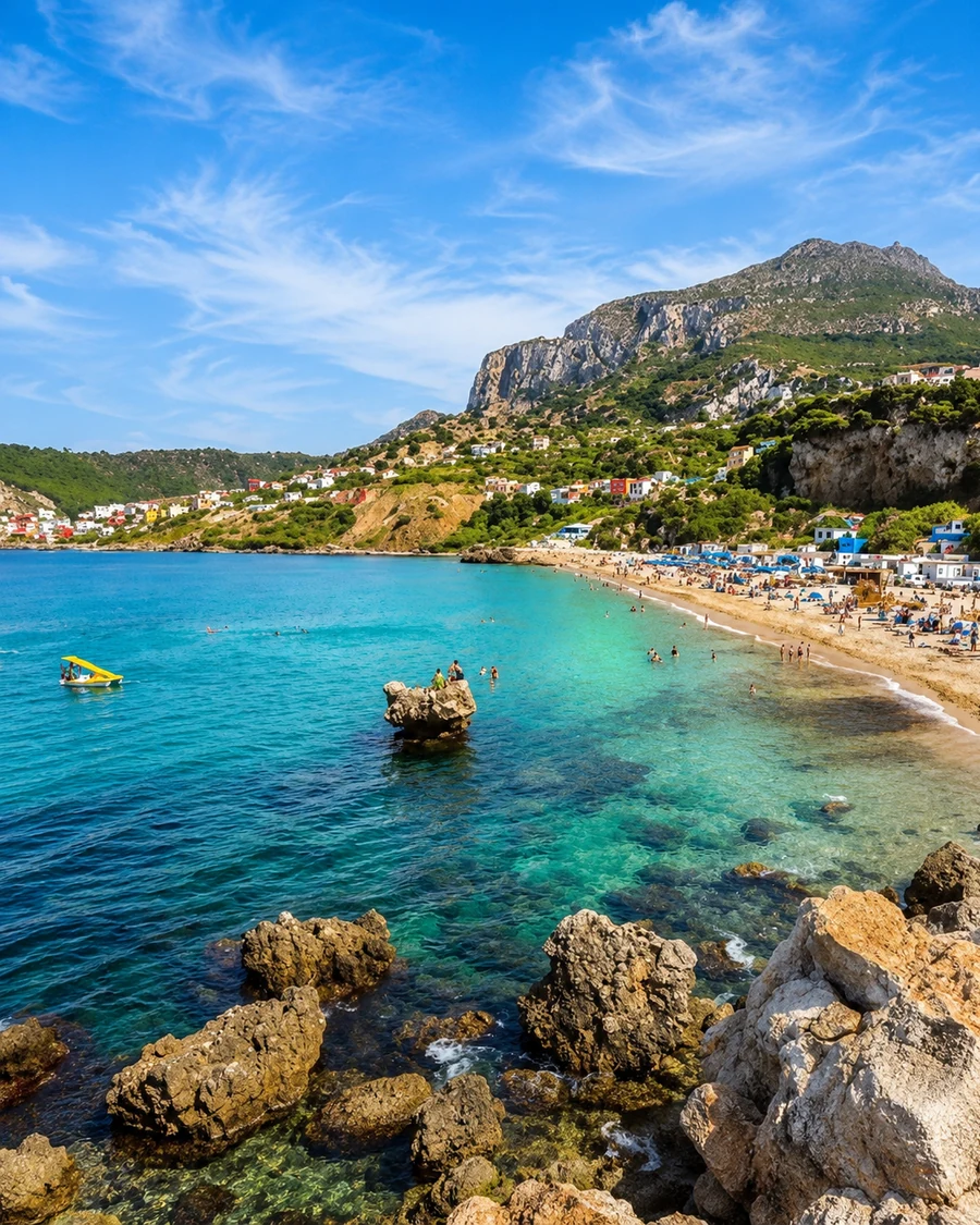 Belyounech Cove Water
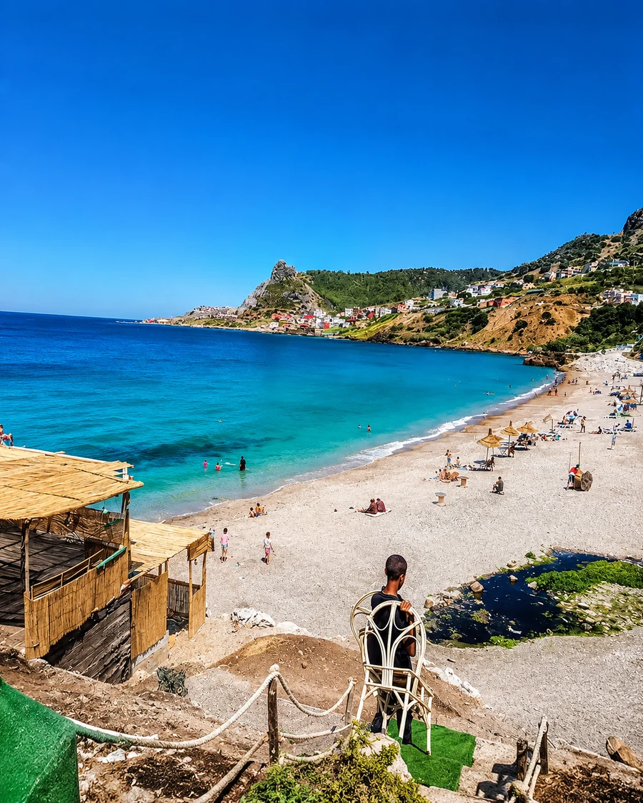 Belyounech Beach Route
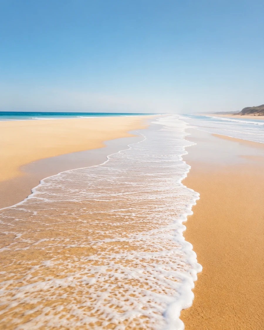 Quiet Beach Edge
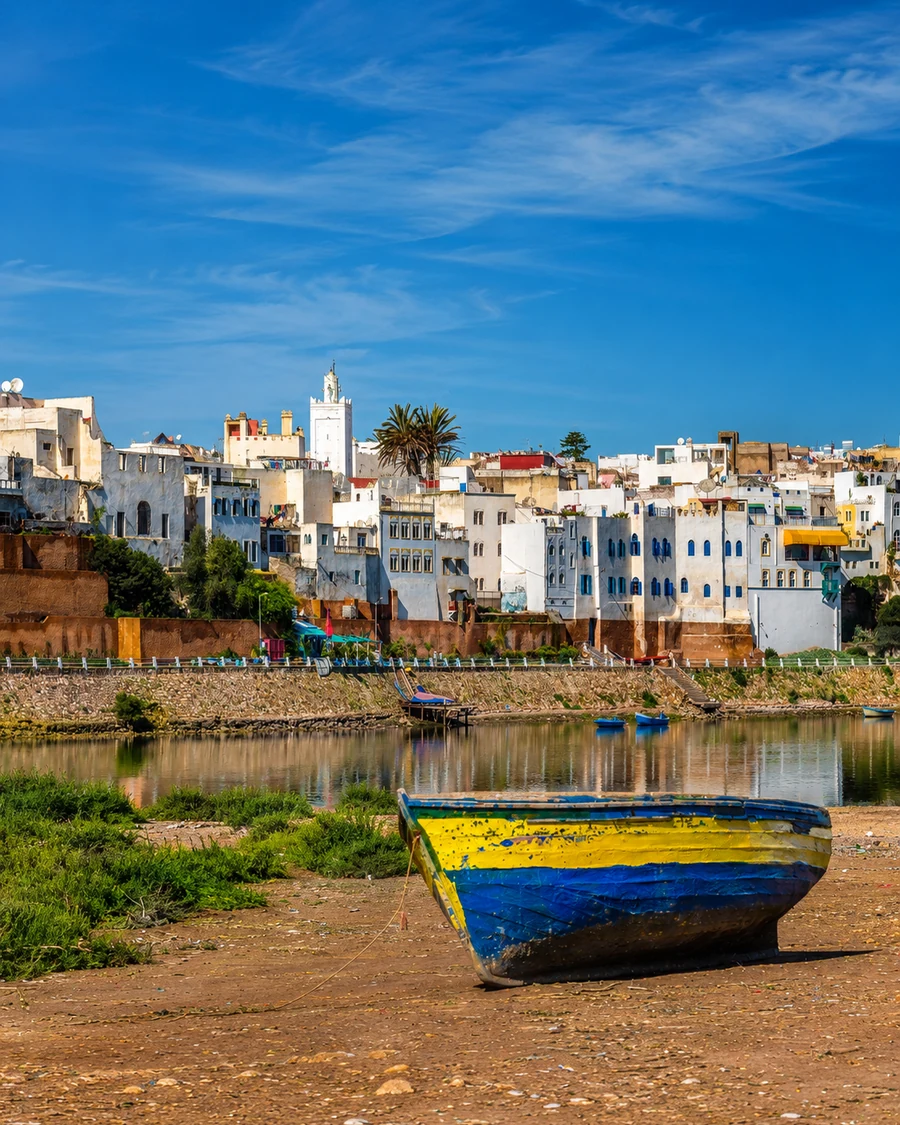 Small River Boat
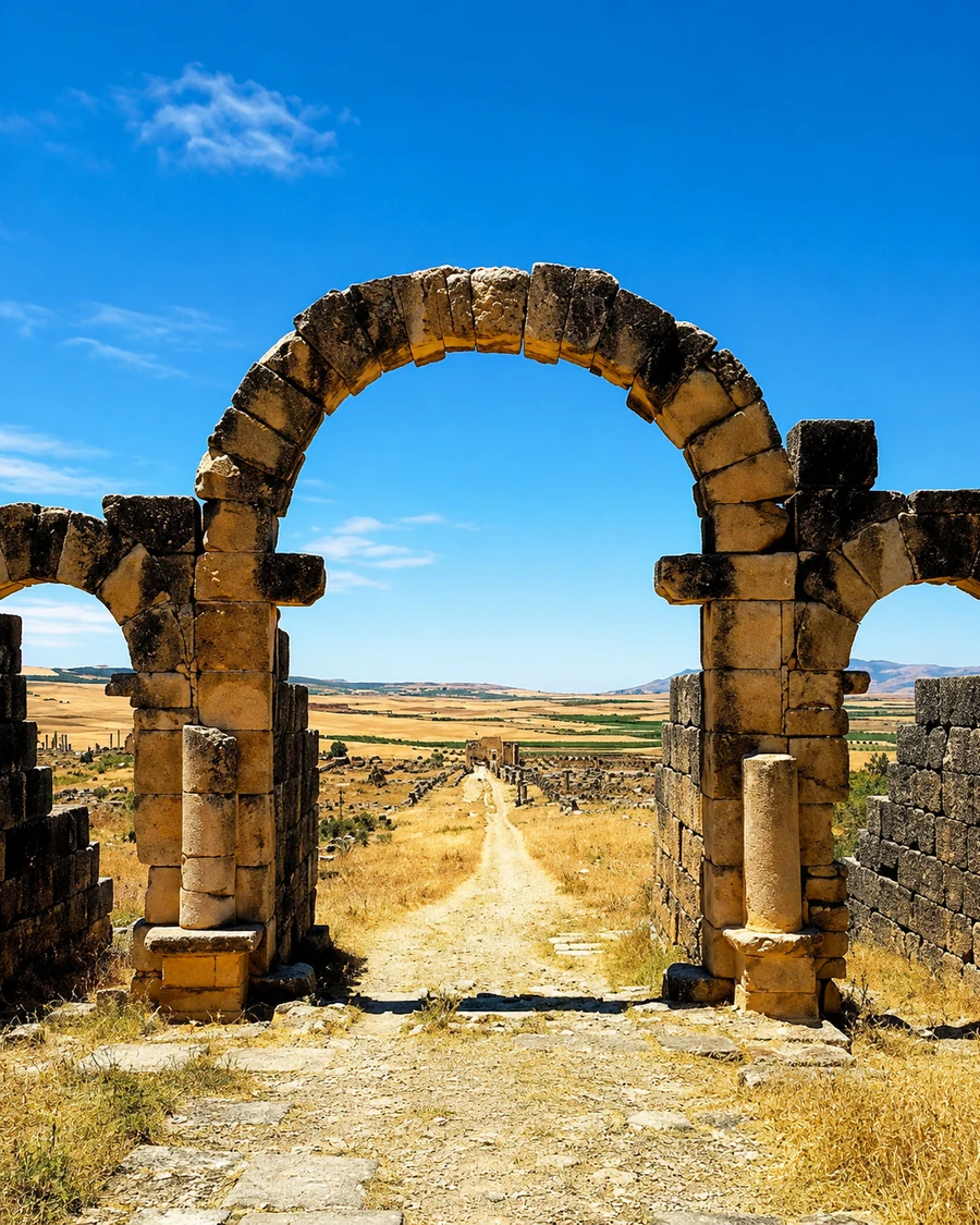 Volubilis Arch View
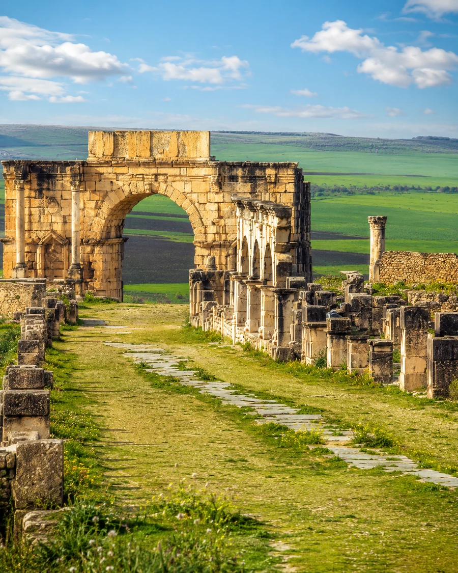 Volubilis Stone Route
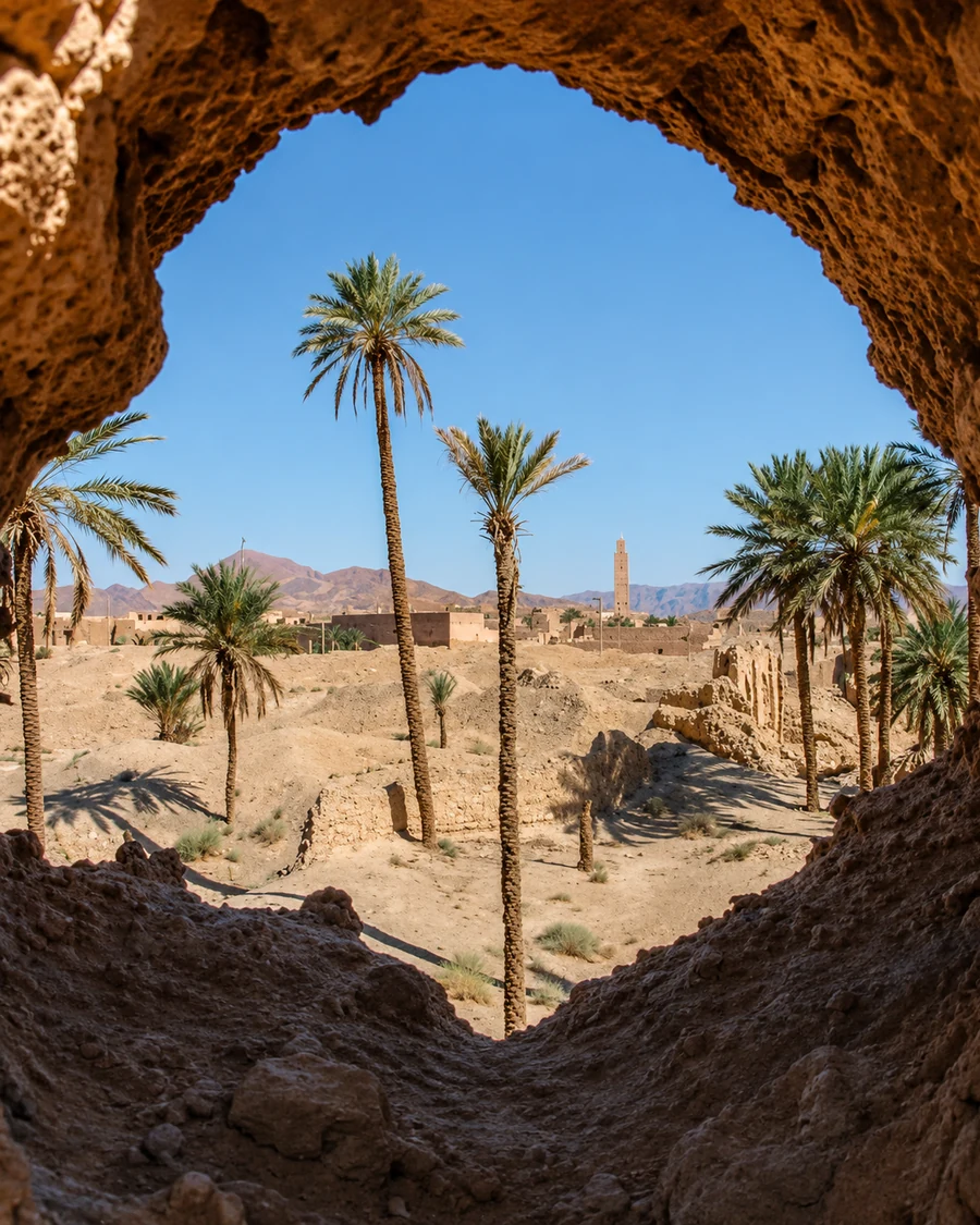 Oasis Arch And Palms
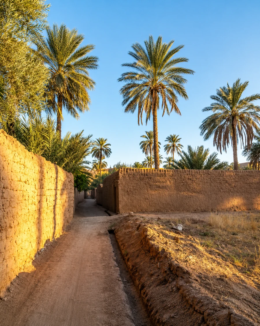 Oasis Lane
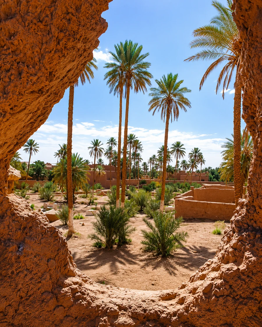 Palm Grove Doorway
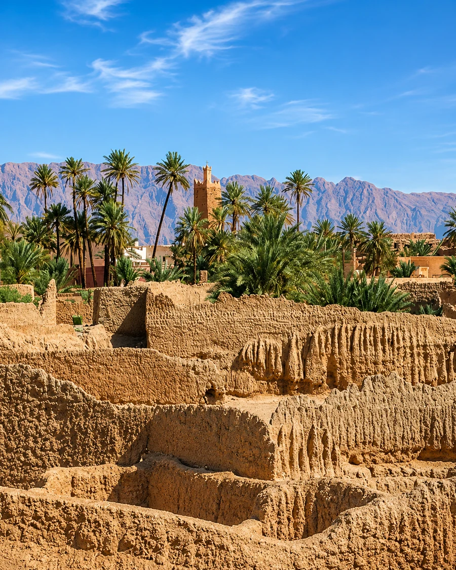 Ksour Earth Texture
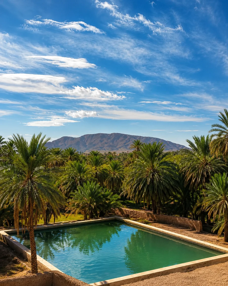 Palm Pool Edge
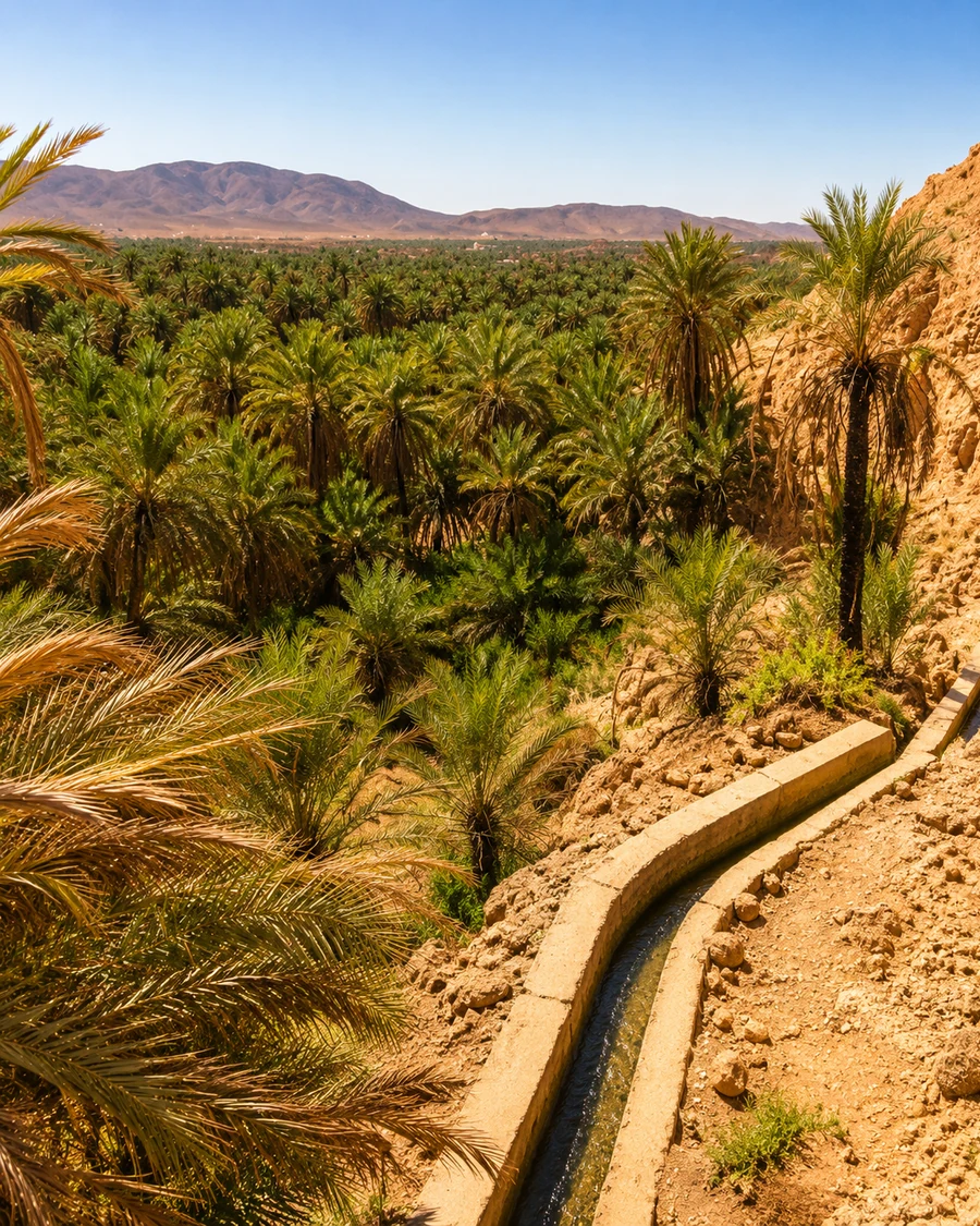 Water Channel Path
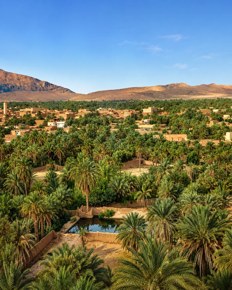 Oasis Mountain Horizon
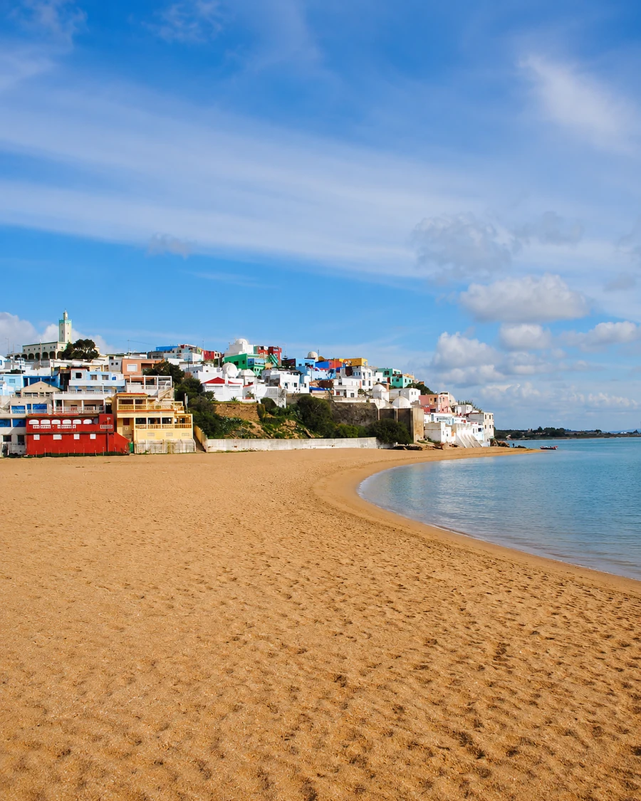 Quiet Shore Route
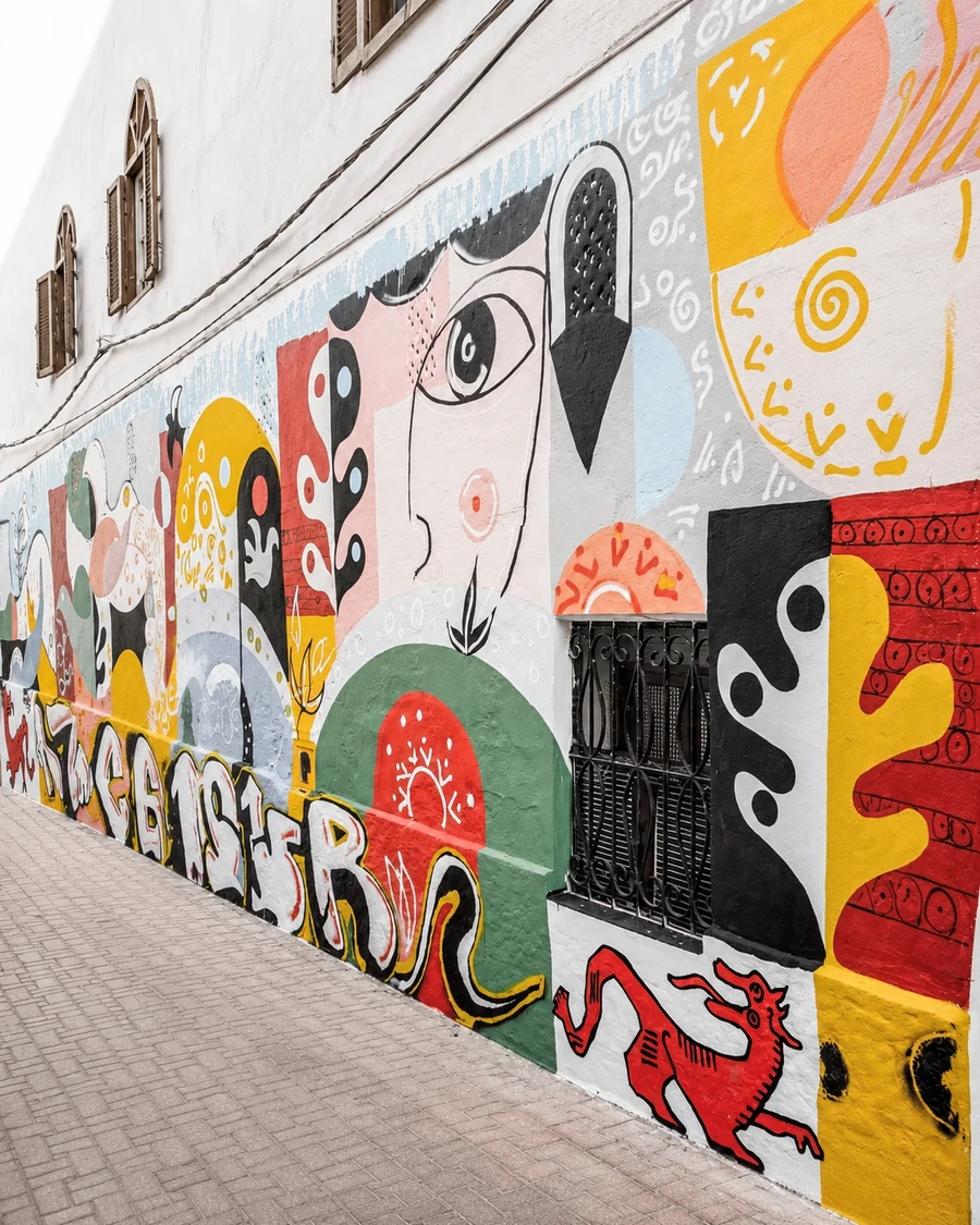 Medina Mural Wall
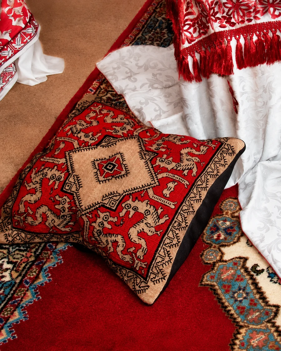 Craft And Textile Detail
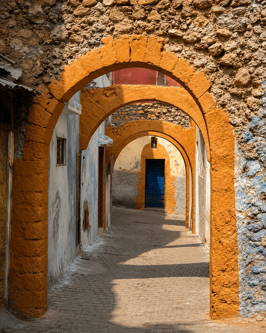 Quiet Arcade Route
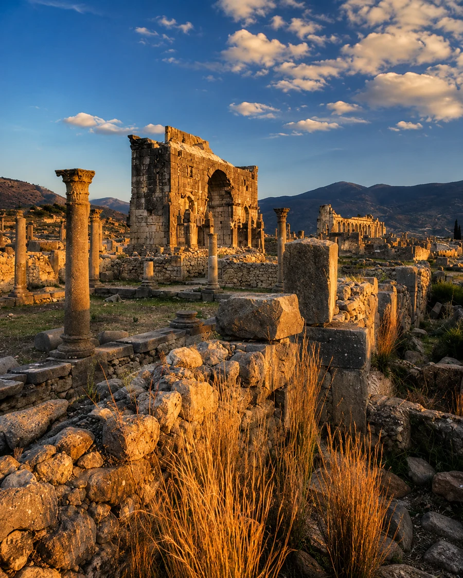 Zerhoun Ruins At Dusk
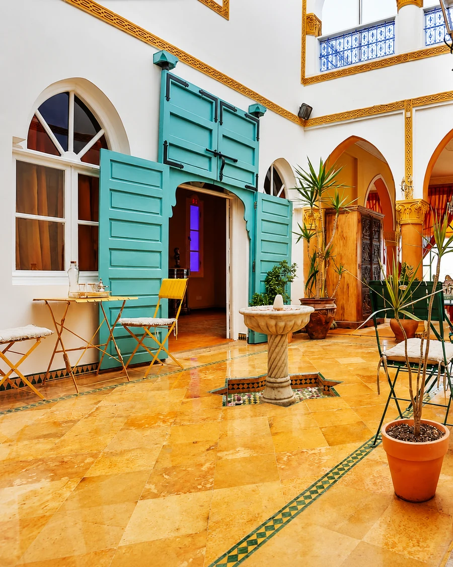 Heritage Courtyard Color
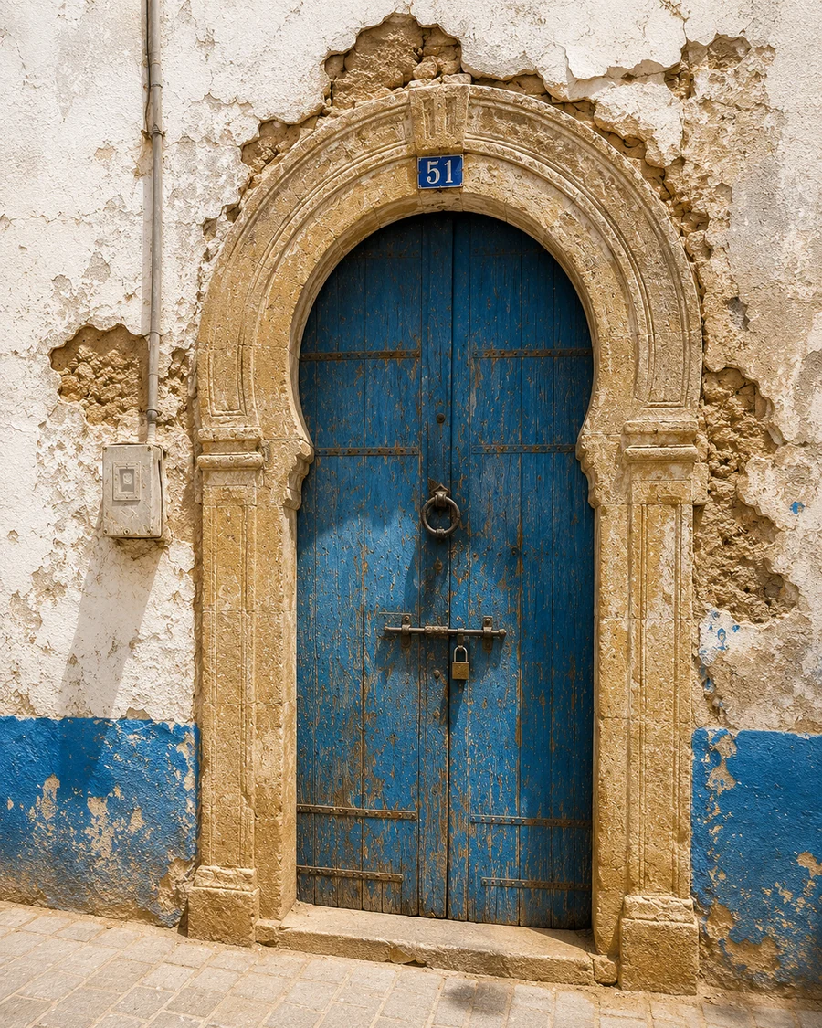 Blue Heritage Door
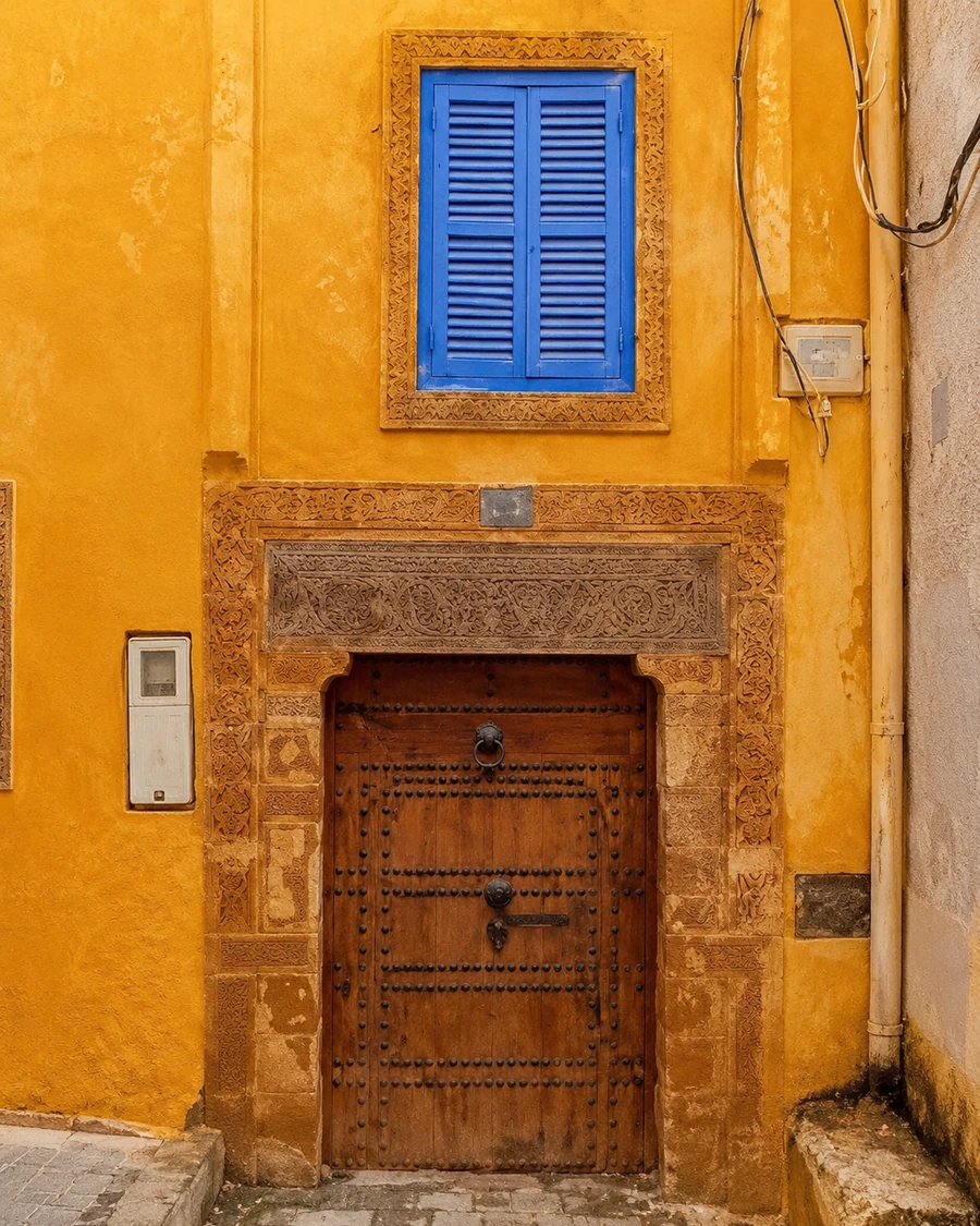 Ochre Medina Door
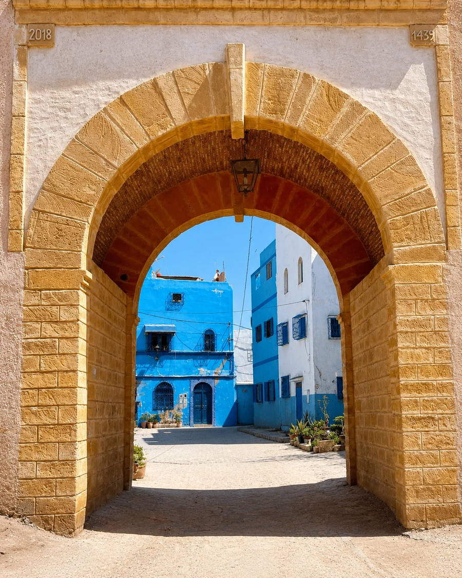 River Gate Arch
The route stays close to texture, light, walls, palms, valleys and local paths.
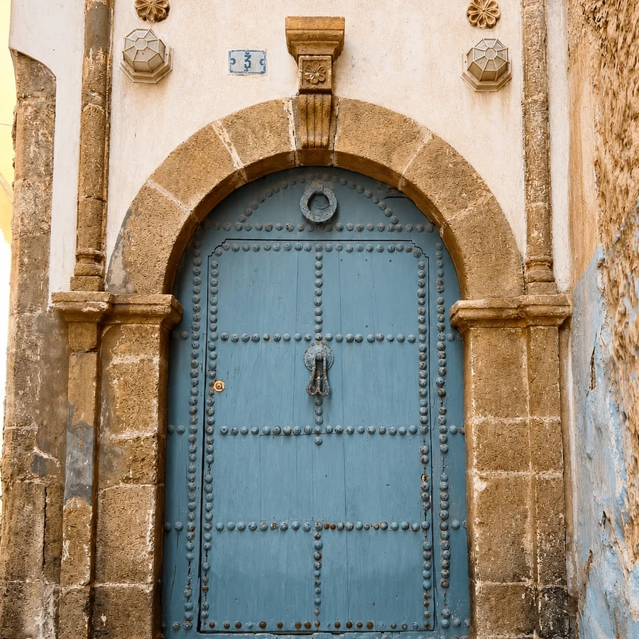
Painted doors and worn thresholds mark smaller towns without turning them into spectacle.
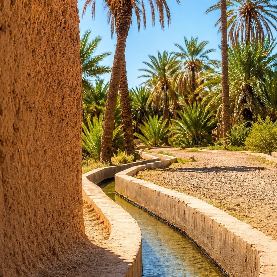
Palms, ksour walls and water channels close the route in Figuig.
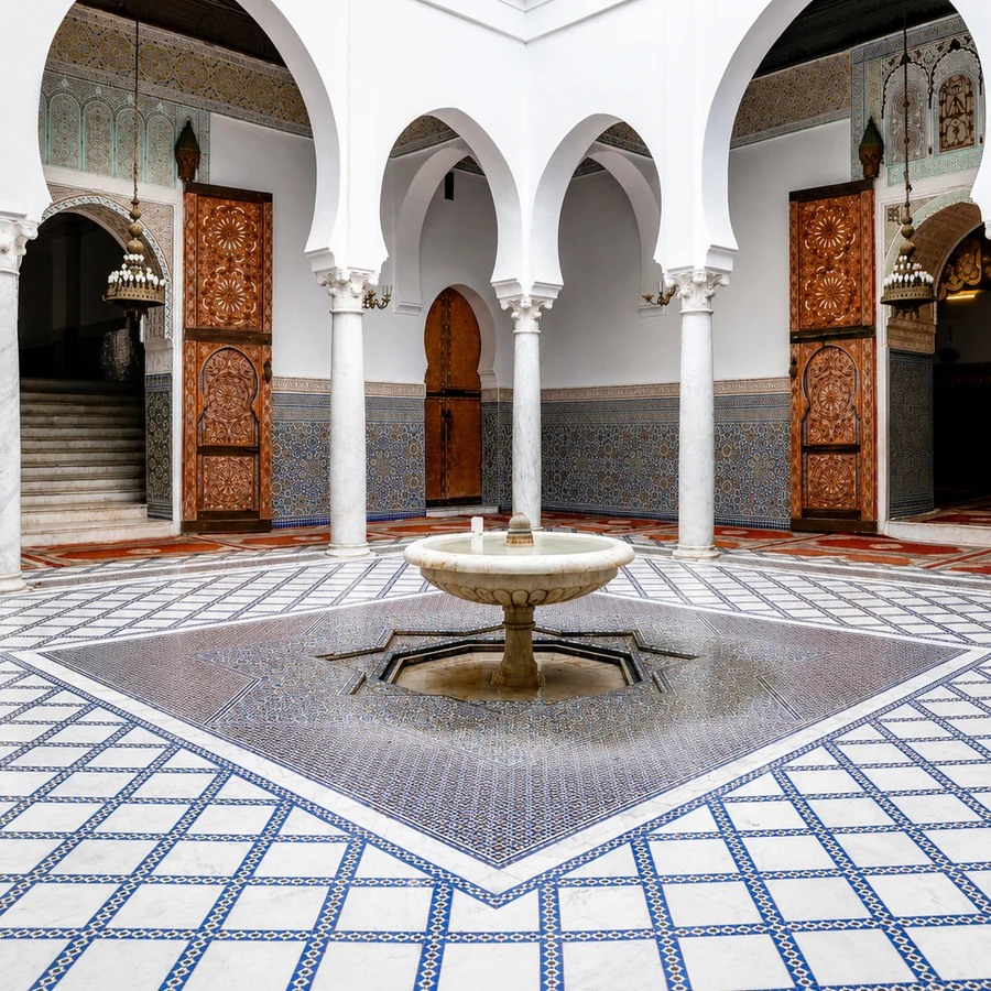 ZerhounSacred hill route
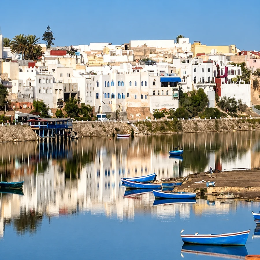 AzemmourOum Er-Rbia river walls
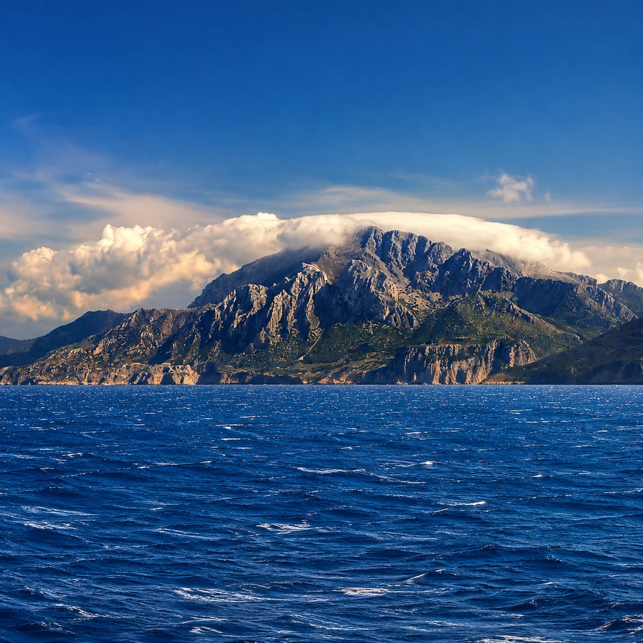 Rif RouteAkchour, Talassemtane and Jbel Musa
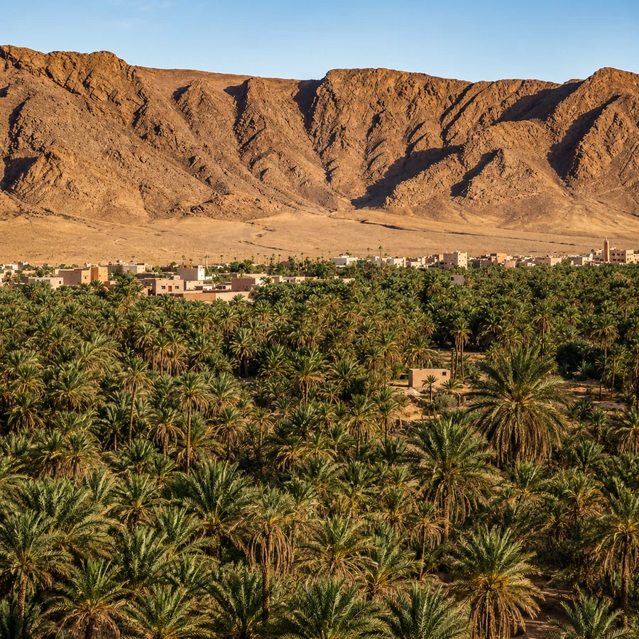 FiguigKsour and oasis water
A few considered choices make the connections between these places more useful.
Moulay Idriss Zerhoun relates to Meknès and Volubilis; Sefrou can connect with Fès and the Middle Atlas; Azemmour pairs with El Jadida; Akchour and Talassemtane relate to Chefchaouen. These are useful clusters. Tinmel and Figuig require separate regional planning. The collection is a set of possibilities, and the best choice may be one place explored well rather than an attempt to connect all of them.
Lower visitor numbers do not make a home, field, religious space or workplace publicly accessible. Ask before entering, photographing or interrupting work. Local guiding can turn a short visit into a more informed encounter while helping establish appropriate routes. Services may also be limited or seasonal. Confirm the practical basics before travelling so that curiosity does not become an unnecessary demand on a small community.
Replace claims of discovery with a specific account. A maker explained a join; a guide named a water channel; a resident described a market day. Credit that knowledge when you share it, and leave uncertainty visible where you lack context. An unfamiliar place does not need to be untouched, secret or frozen in time to deserve attention. Its contemporary life is part of the reason to include it.
Historical and geographical references reviewed in September 2026. Route pairings and looking suggestions are Exotic Morocco editorial guidance. Check current access and transport arrangements before travelling. Existing regional library imagery is retained; photographs and illustrations do not establish present-day access or conditions.
Open the Hidden Morocco route place by place: Moulay Idriss Zerhoun, Azemmour, Sefrou, Bejaad–Boujaad, Akchour, Talassemtane, Belyounech & Jbel Musa, Cala Iris, Tinmel and Figuig.