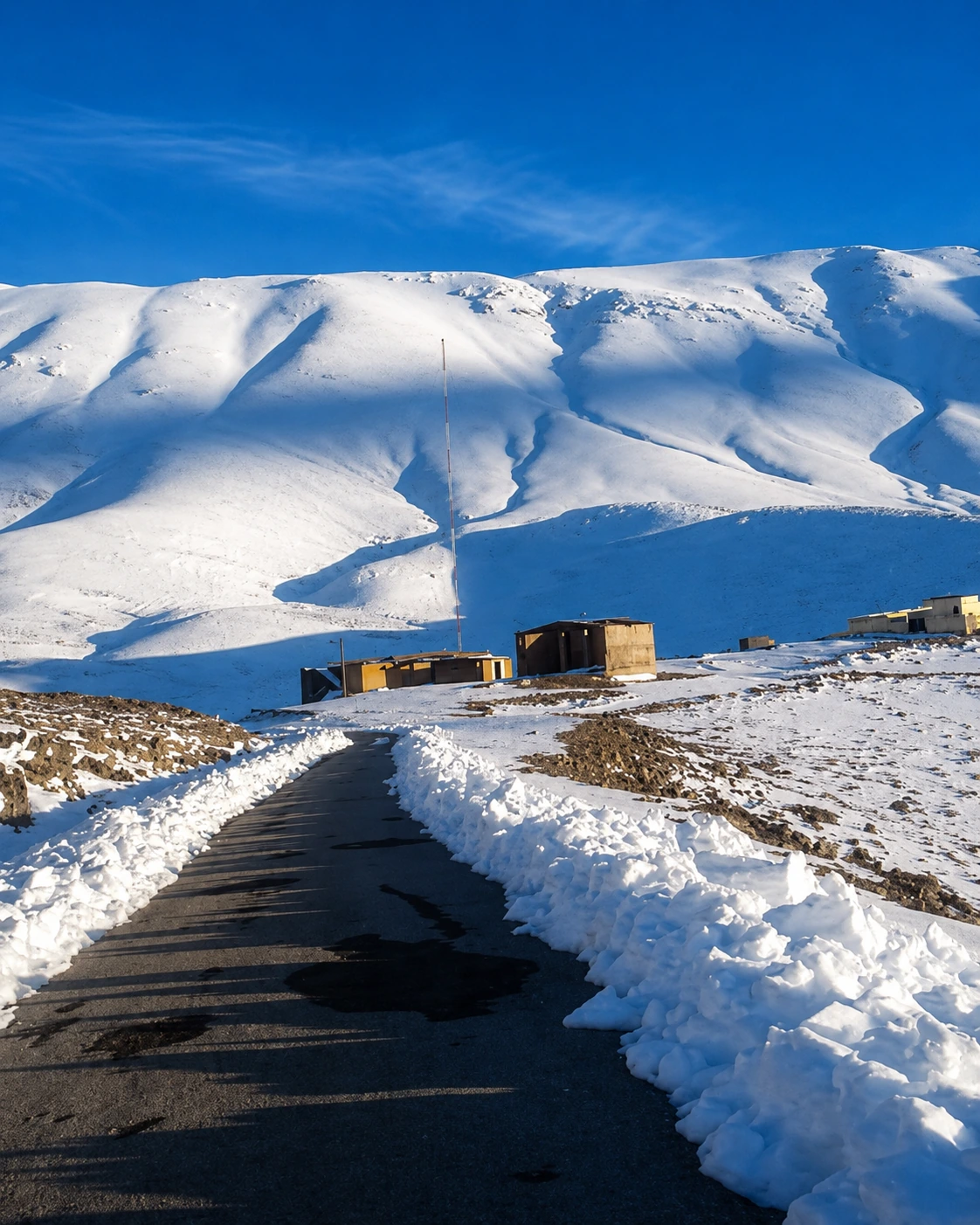
Place • Meaning
The Identity of the Place
Every place has its own rhythm, memory, material language and relationship to the landscape around it.
Read more
Explore Morocco through heritage sites, sacred places, national parks, coastlines, lagoons, valleys, waterfalls, caves, oases, kasbah routes and Sahara landscapes.
Enter Morocco through heritage, coast, Atlas, Sahara and sacred atmosphere.
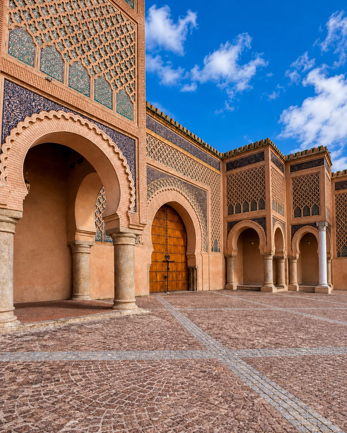
Ancient sites, dynastic memory and sacred layers.
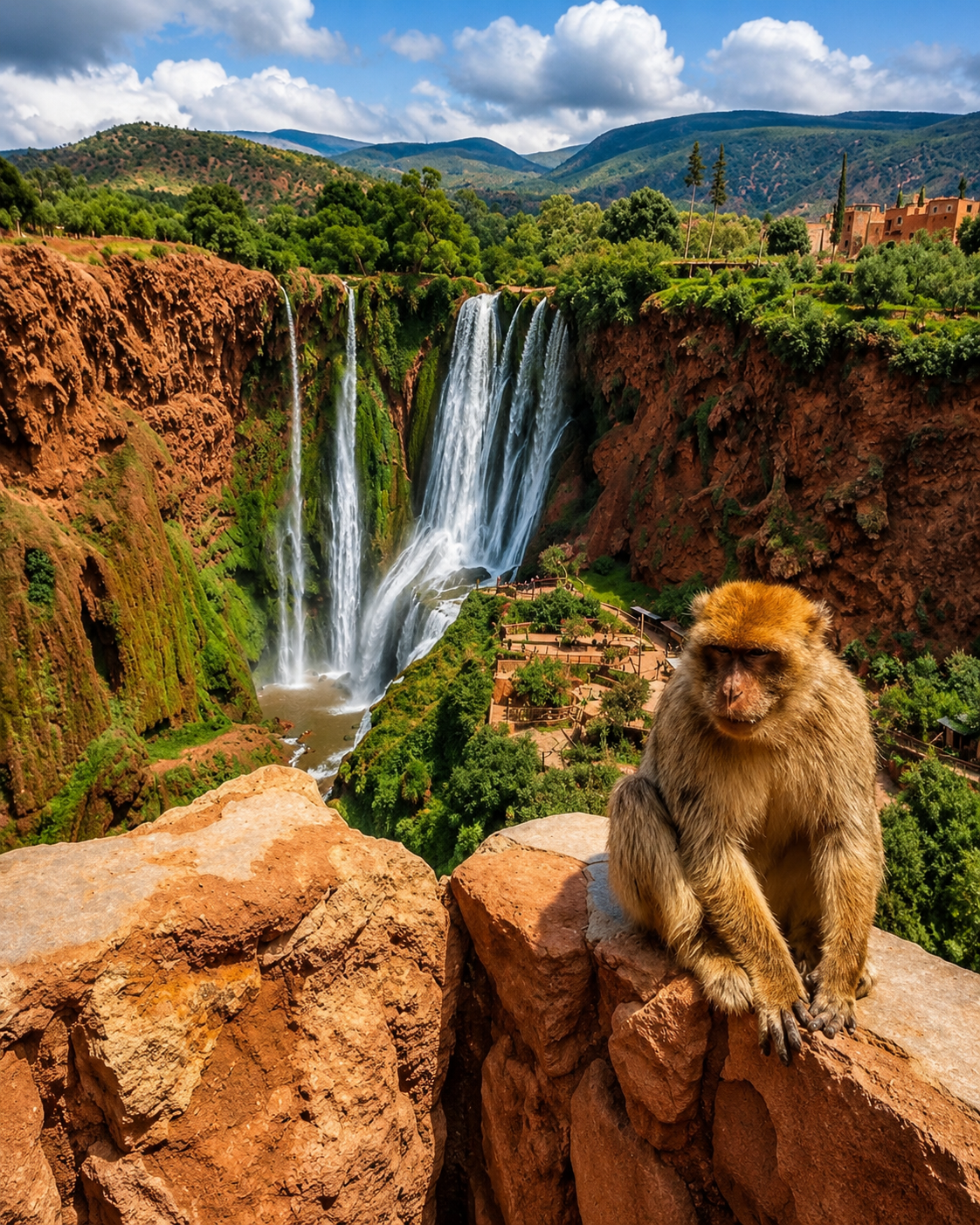
Parks, waterfalls, mountains and biodiversity.
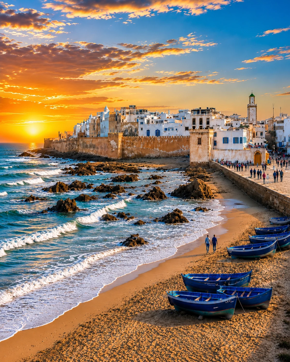
Atlantic light, lagoons and Mediterranean edges.
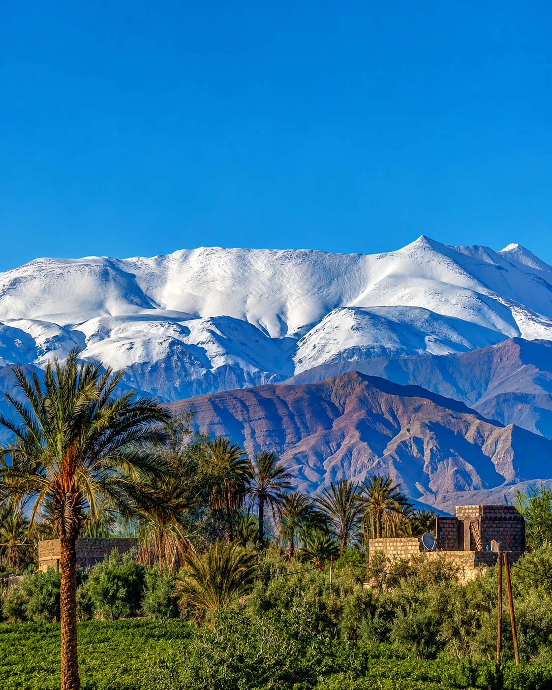
Valleys, passes, gorges and highland routes.
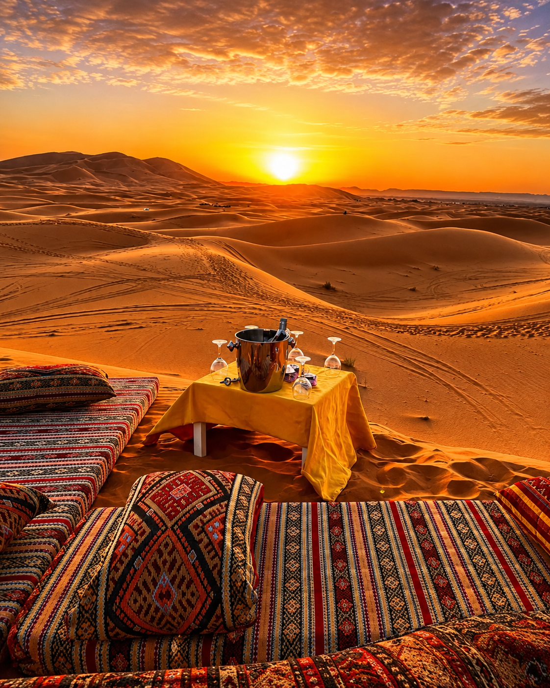
Oases, ksour, dunes and desert imagination.
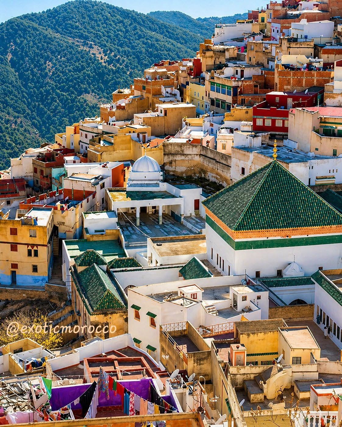
Mosques, necropolises and spiritual memory.
Visit is one doorway. Cities, regions, themes and route ideas remain separate so the visitor understands where to go next.
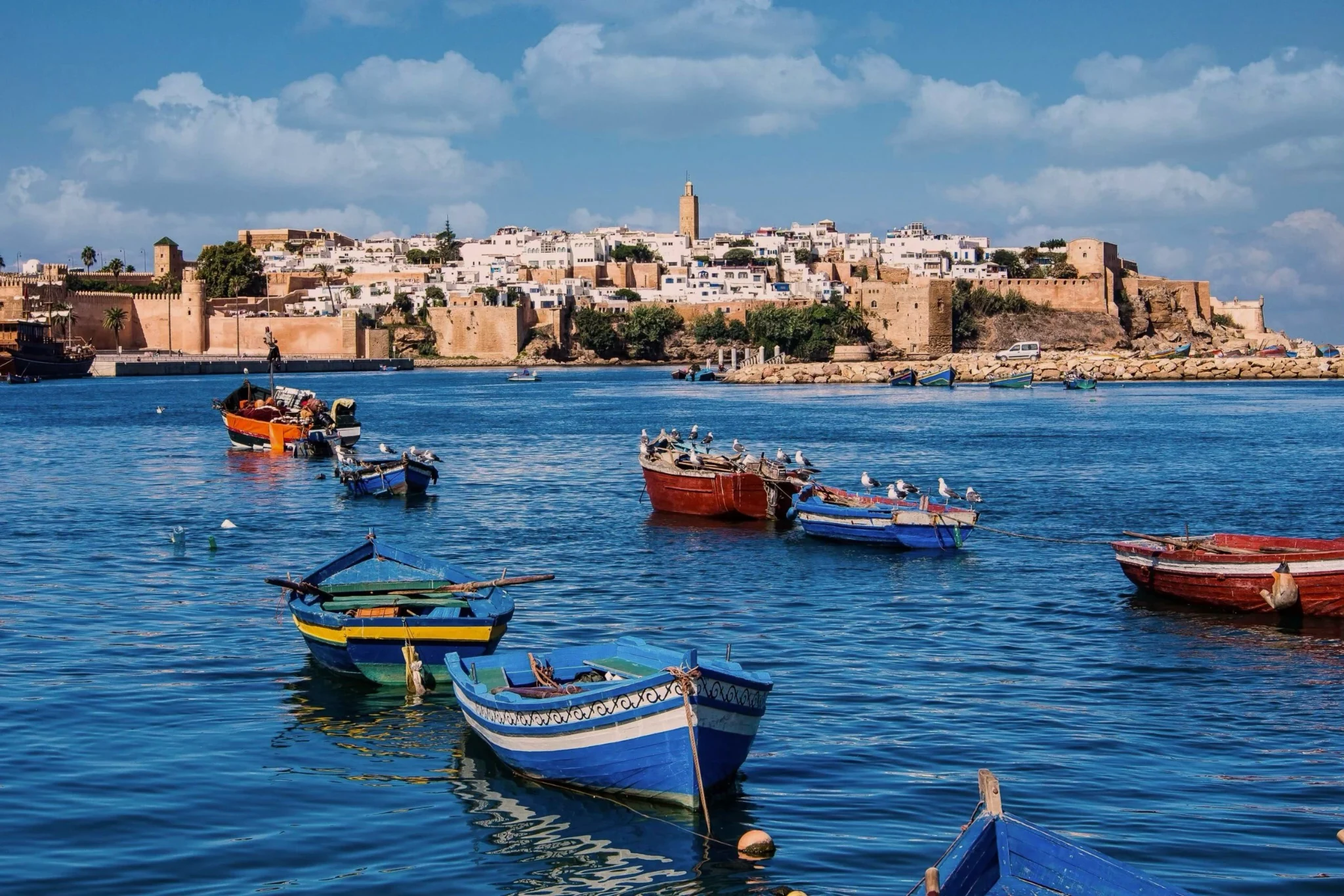
For medinas, cities, towns and full destination chapters.
Open Cities →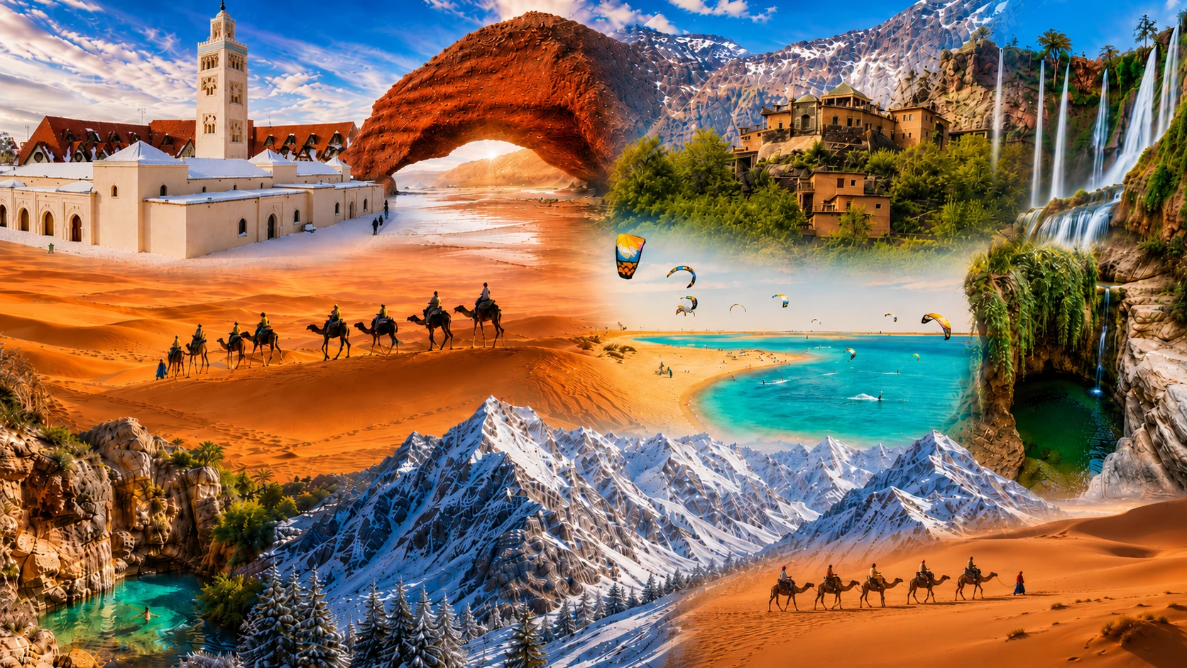
Editorial region journeys that connect places, cities and landscapes.
Open Regions →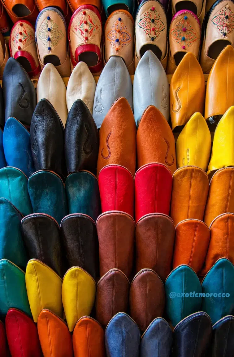
Culture, architecture, crafts, coast, desert and visual themes.
Open Themes →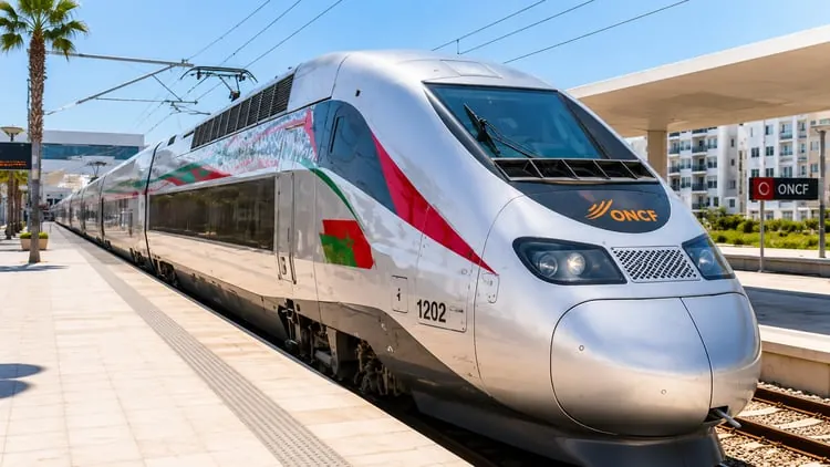
Travel logic through place-to-place sequences and route ideas.
Open Routes →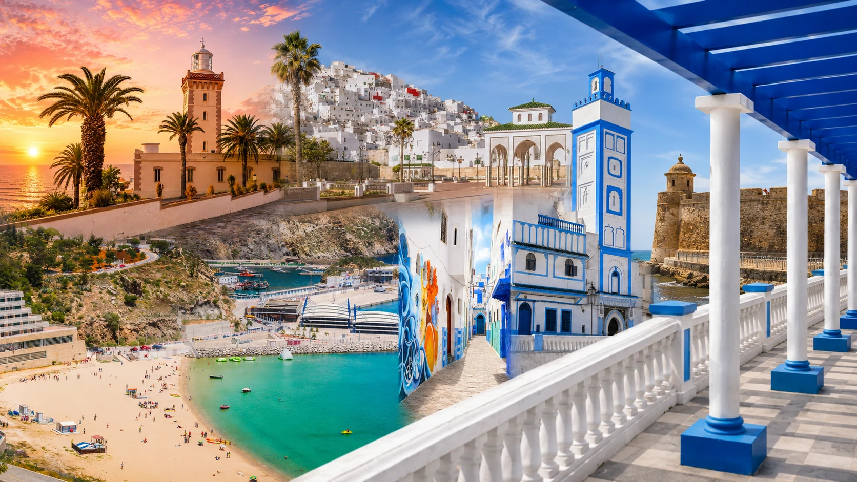
Morocco through its 12 official regions for research and orientation.
Open Regions →Five polished standing cards per row on desktop — clean image proportions, stronger hierarchy and immediate access to the most important places.
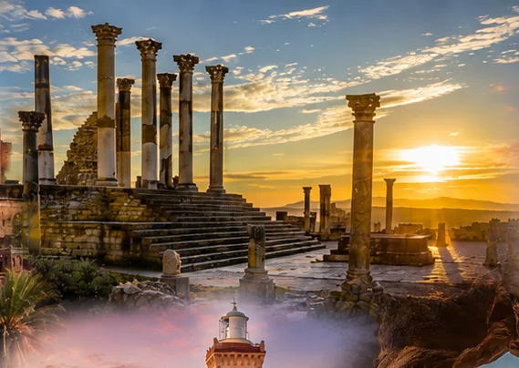
Roman ruins, a sacred hill town and Meknès-region memory in one powerful gateway.
Open place →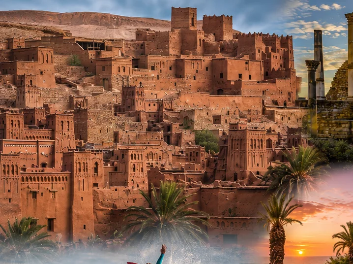
Earthen architecture, caravan-route memory and the southern Moroccan imagination.
Open place →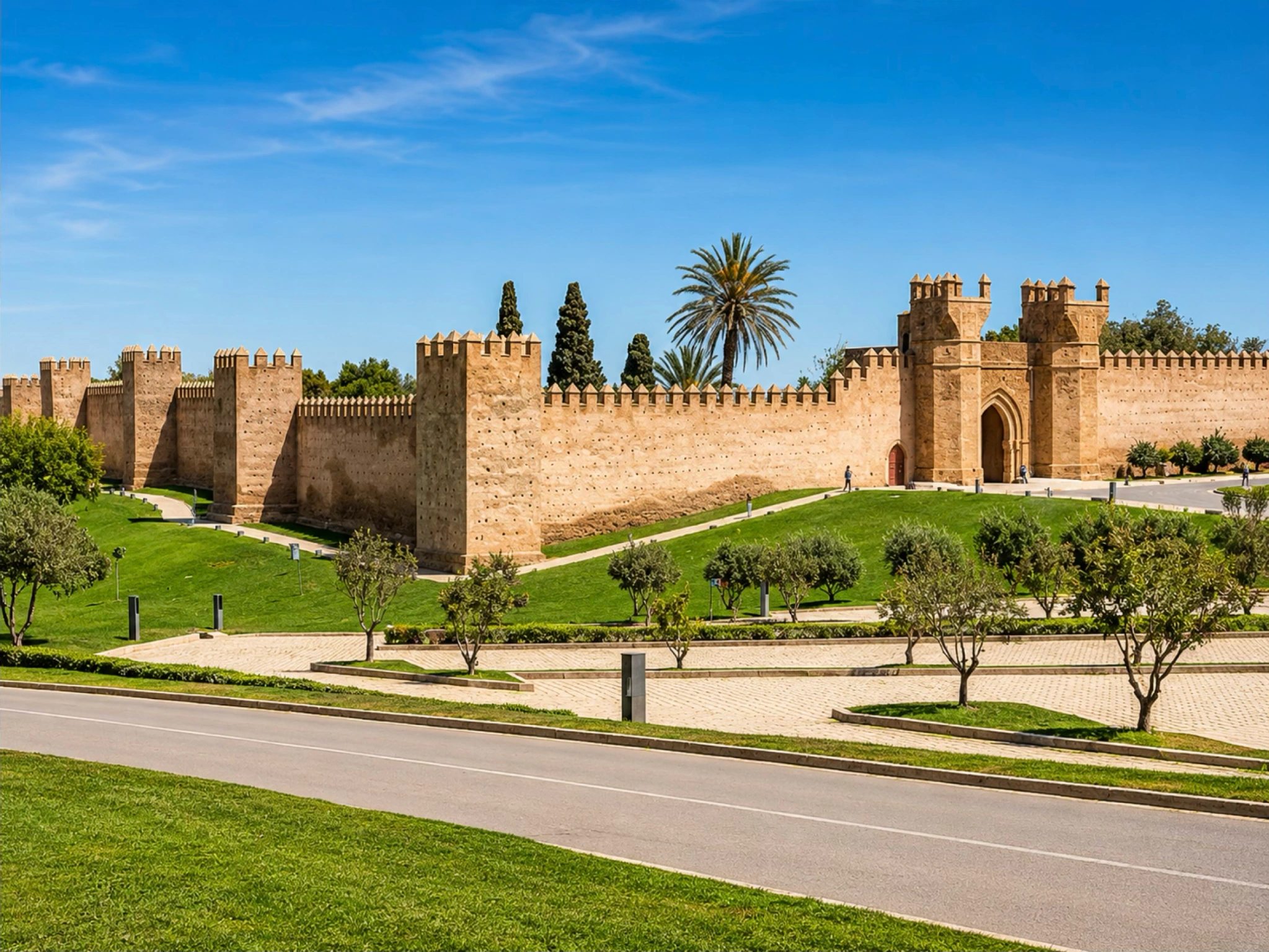
Ancient layers, Marinid walls, gardens and Rabat’s quiet necropolis atmosphere.
Open place →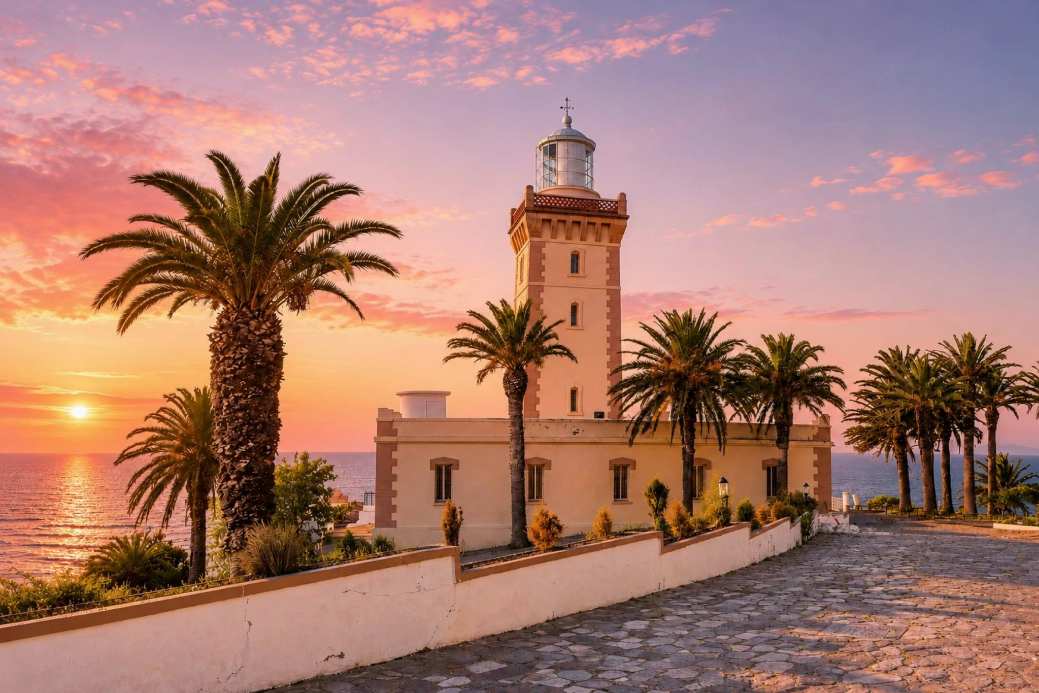
Where Atlantic light, Tangier mythology and the Strait horizon meet.
Open place →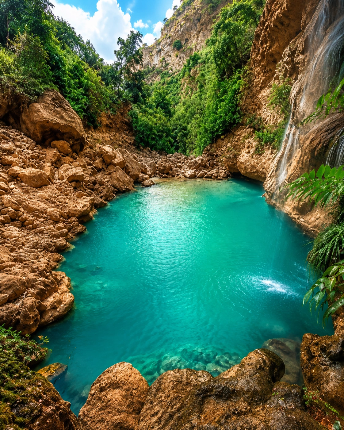
Mountain water, rock bridges and Chefchaouen-area walking landscapes.
Open place →A dramatic waterfall landscape that opens the Atlas beyond the cities.
Open place →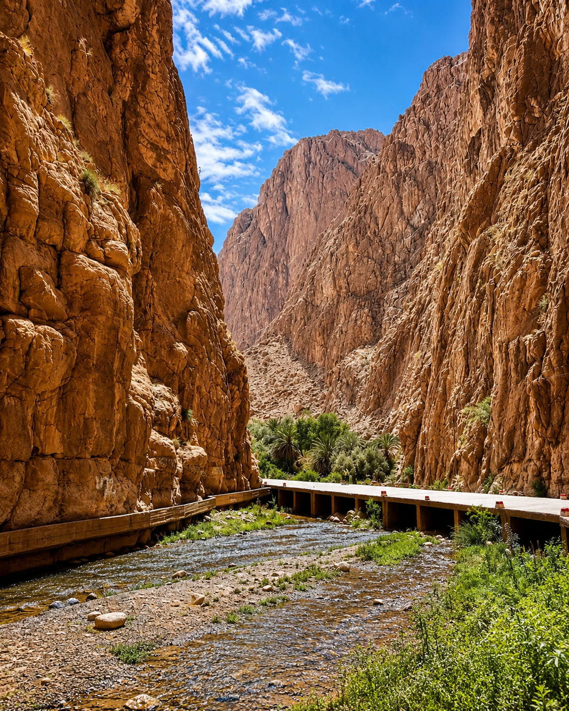
High limestone walls, palms, oasis villages and Tinghir valley routes.
Open place →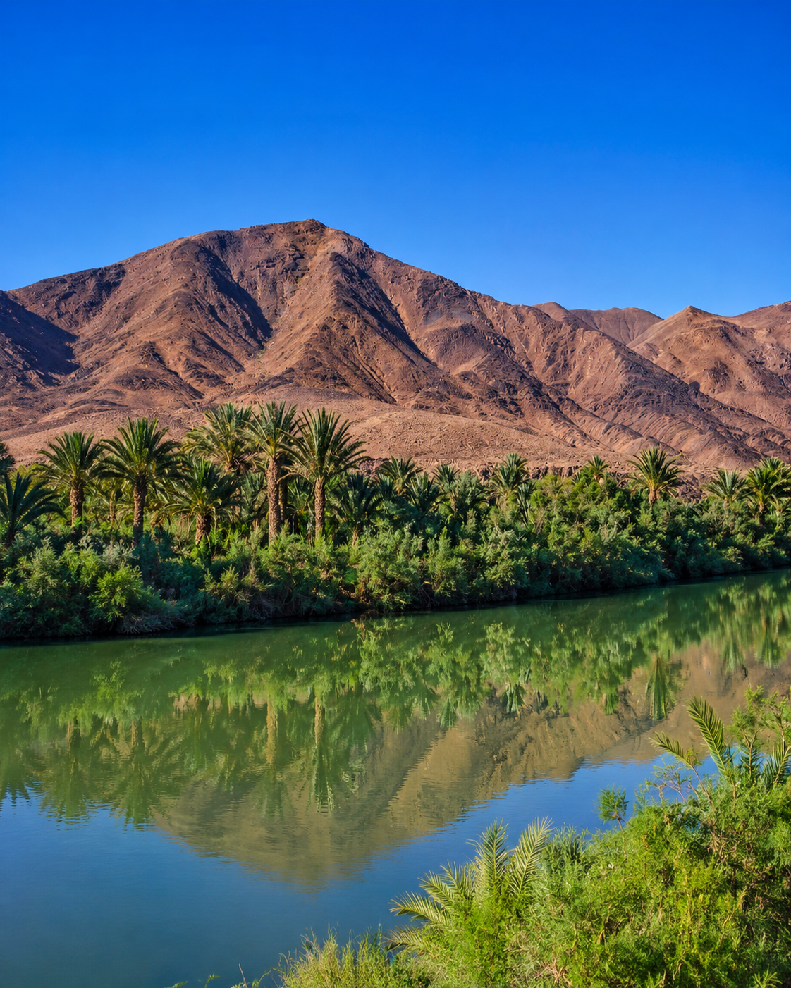
Palm groves, kasbahs and one of Morocco’s great southern route corridors.
Open place →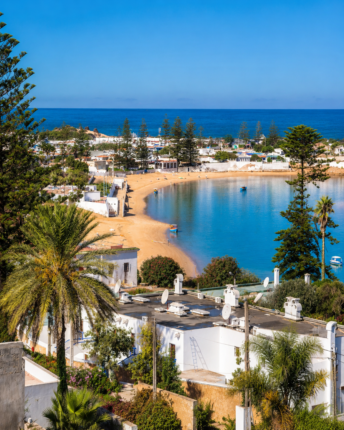
Calm water, oysters, birds and a softer Atlantic rhythm.
Open place →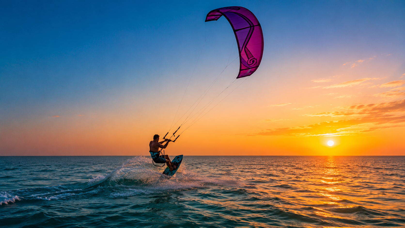
Wind, water, oyster culture and a vast southern desert-ocean horizon.
Open place →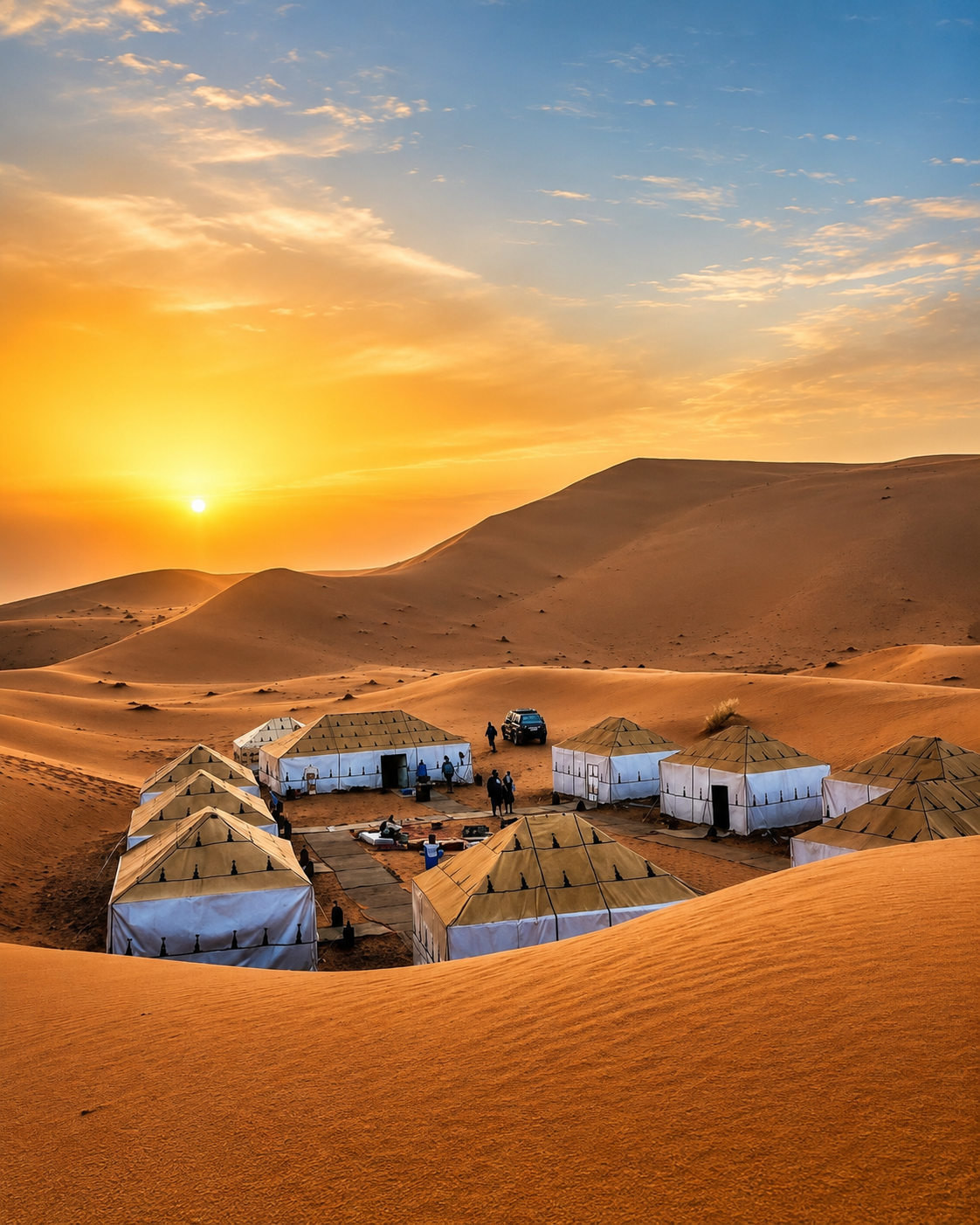
Merzouga-area dunes and one of Morocco’s most recognisable Sahara landscapes.
Open place →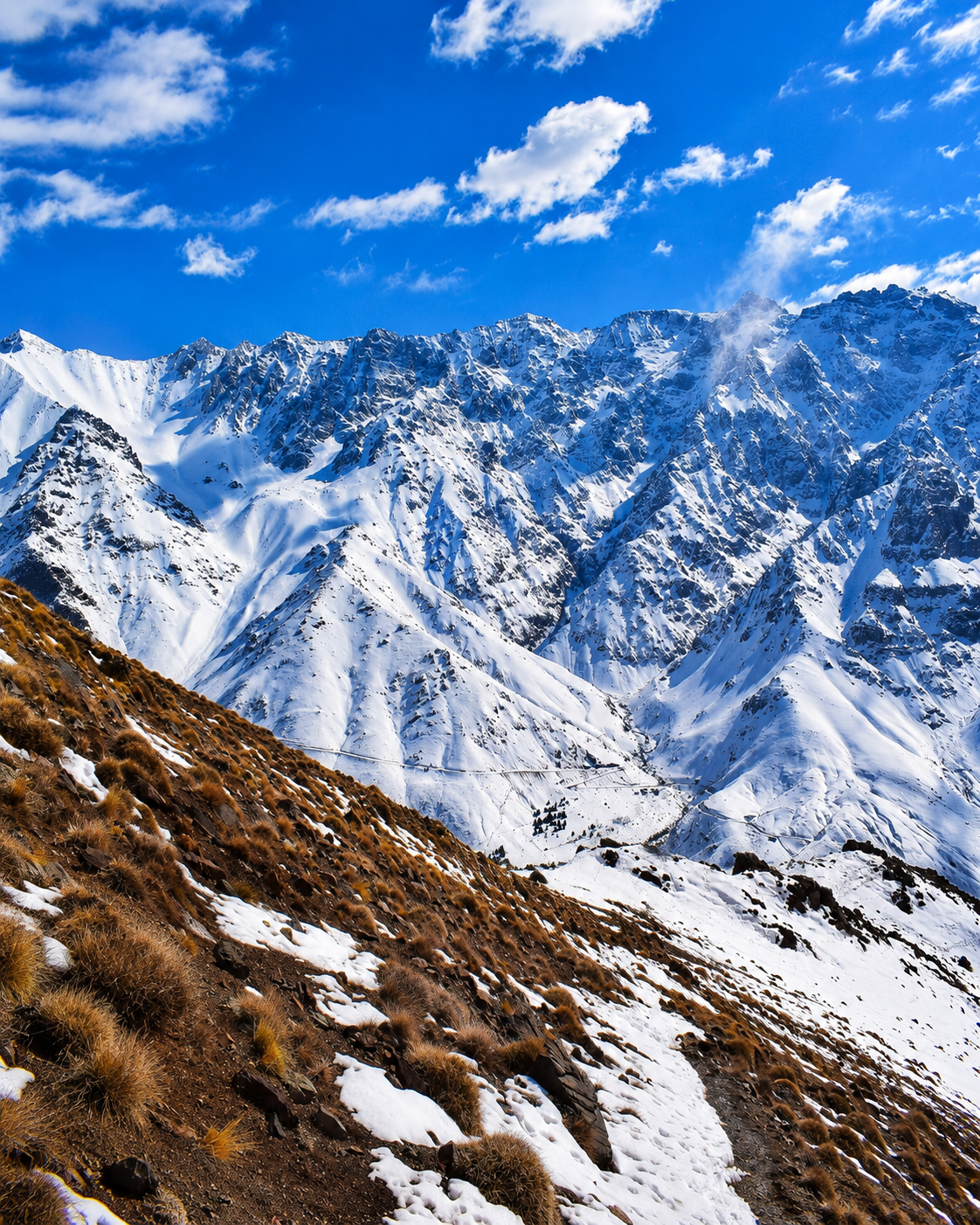
Morocco’s highest mountain area and the classic High Atlas trekking gateway.
Open place →One strong lead image with six supporting image-cards beside it, then the full heritage library directly below in a clean drawer.
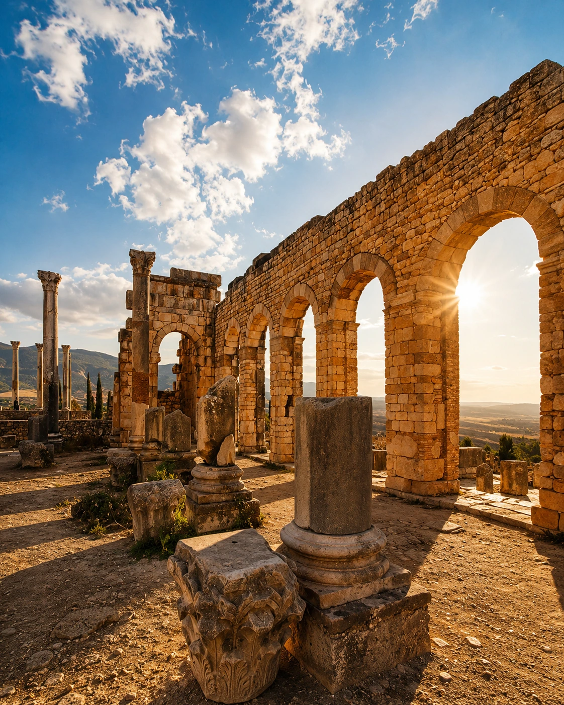
Roman arches, sacred hill-town memory and one of Morocco’s most powerful heritage gateways.
Open place →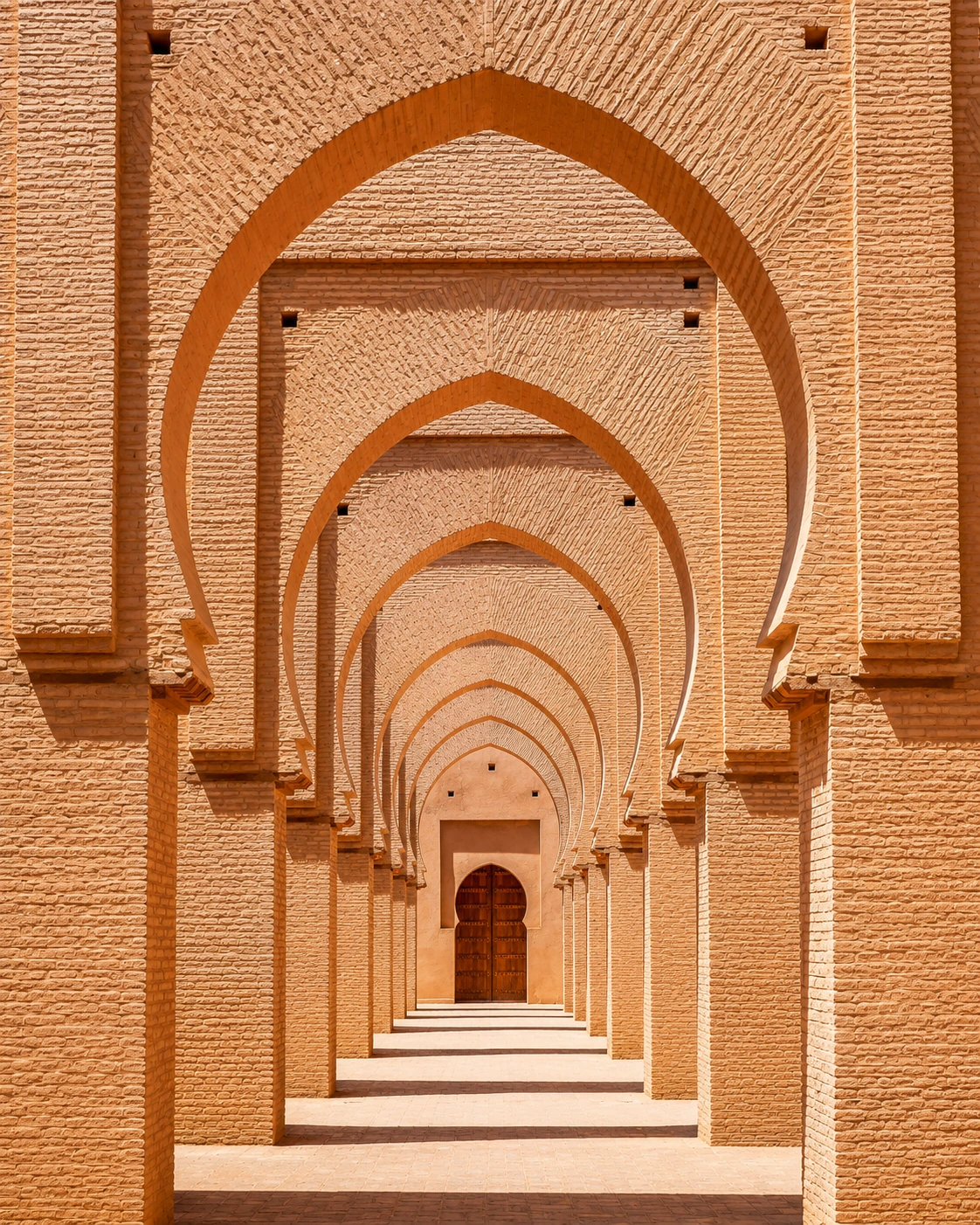
Mountain mosque and Almohad memory in the High Atlas.
Open place →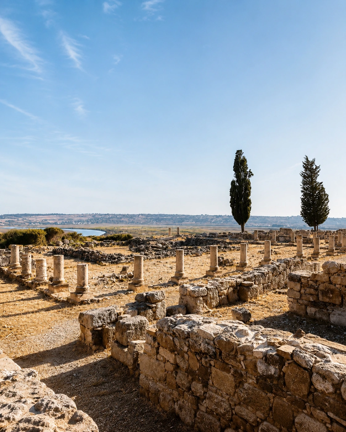
Ancient Atlantic site near Larache, linked to Phoenician, Roman and Loukkos histories.
Open place →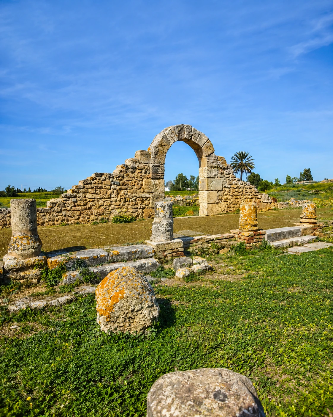
Roman-era site in the Gharb plains near the Sebou river world.
Open place →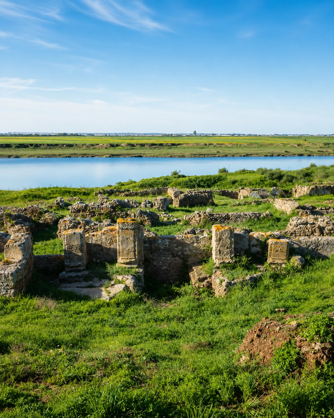
Ancient river-site near Kénitra and the Sebou corridor.
Open place →Ksar architecture, earthen building and southern caravan-route heritage.
Open place →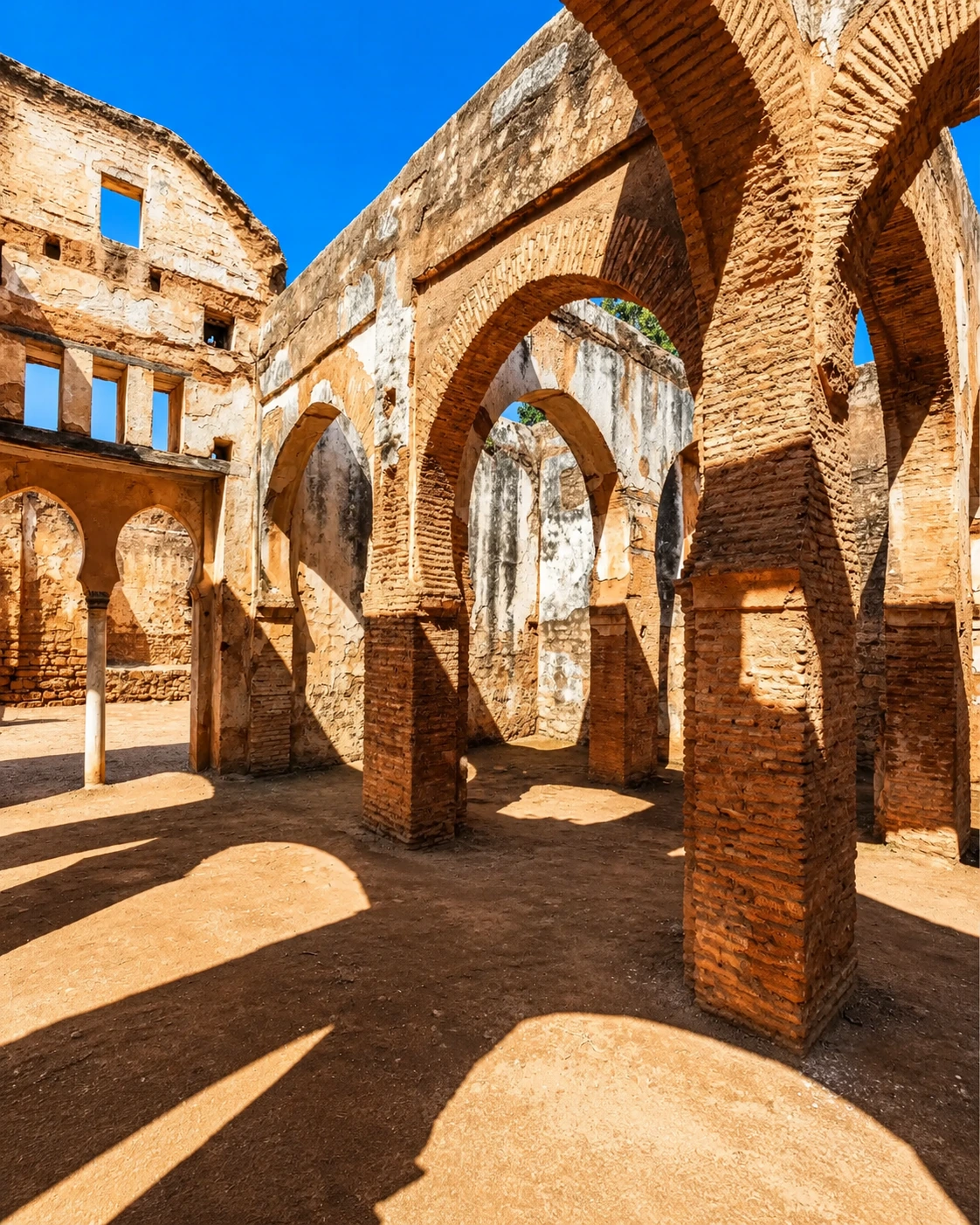
Marinid necropolis and ancient layers beside Rabat.
Open place →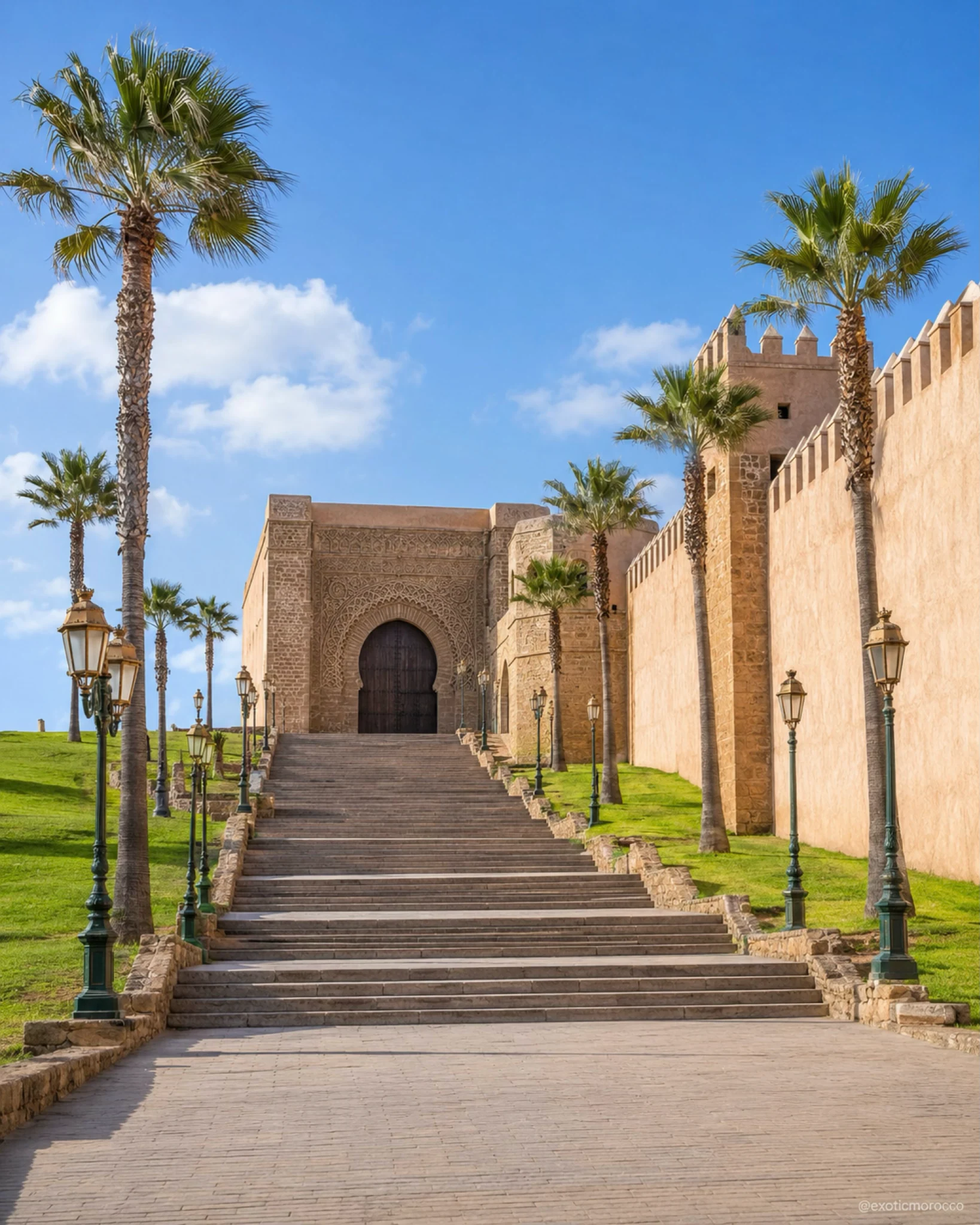
Fortified Atlantic kasbah, Andalusian garden and Bouregreg memory.
Open place →Unfinished Almohad minaret, royal mausoleum and Rabat landmark.
Open place →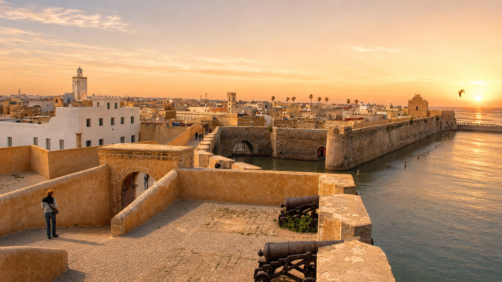
Subterranean cistern and Mazagan’s Atlantic architectural memory.
Open place →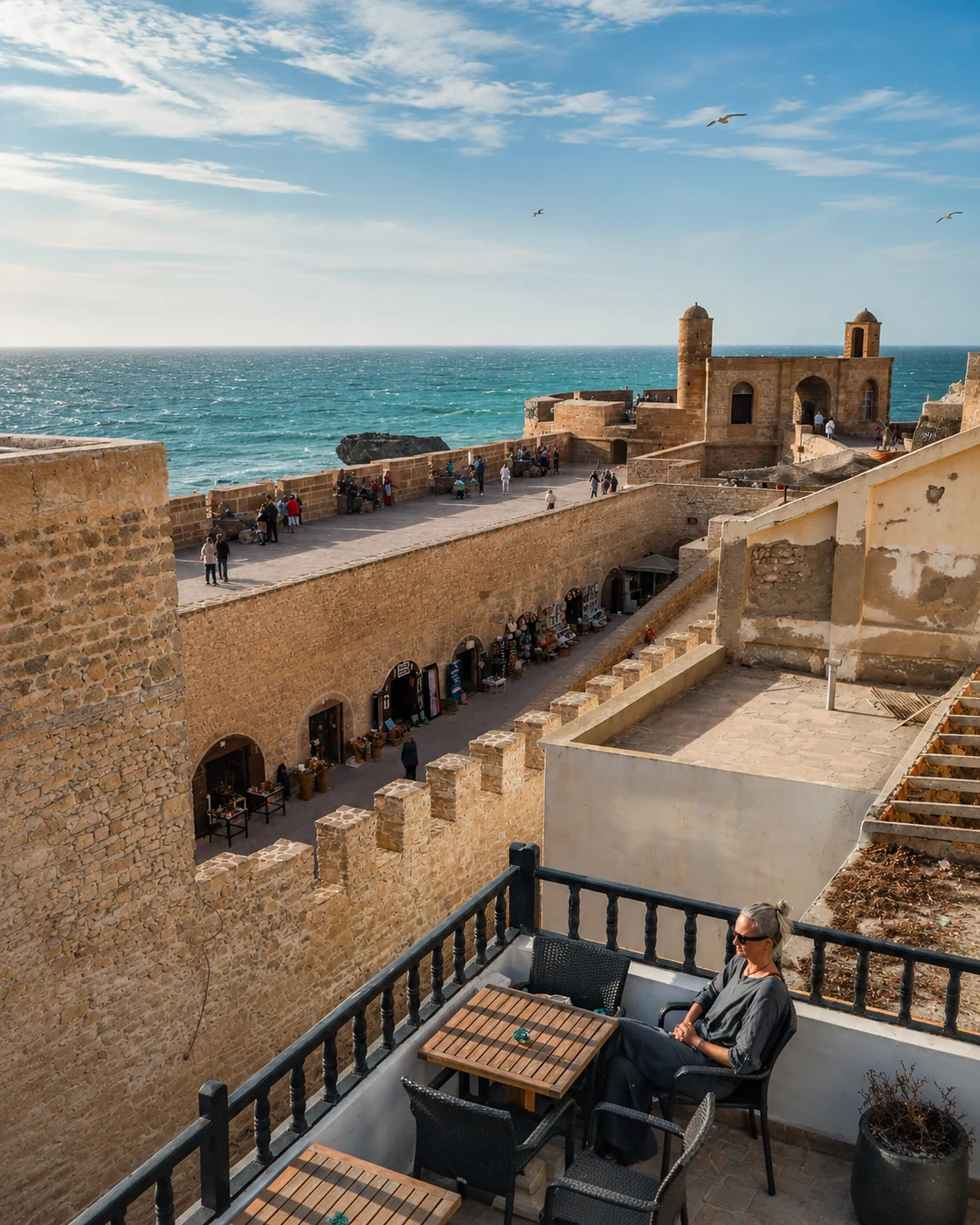
Ramparts, cannons, ocean wind and Essaouira’s fortified medina identity.
Open place →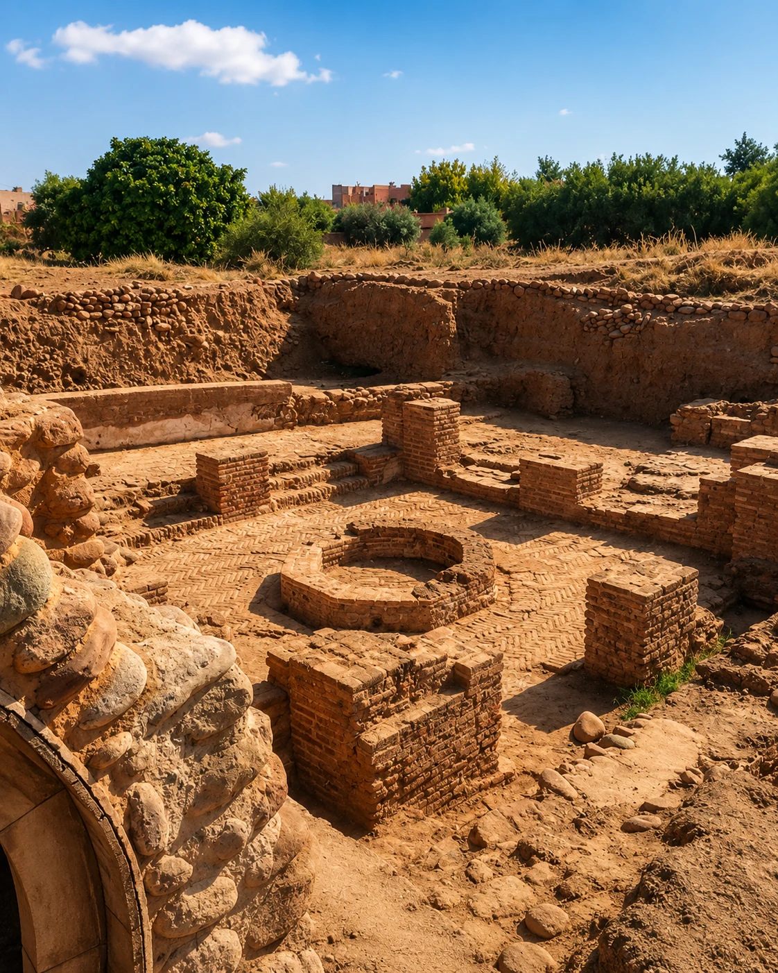
Pre-Marrakech political and trading memory at the foot of the Atlas.
Open place →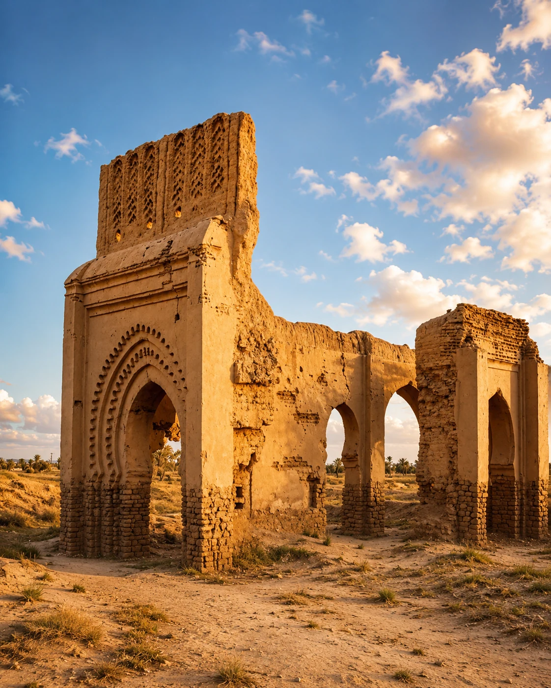
Historic Tafilalet trading site connected to trans-Saharan routes.
Open place →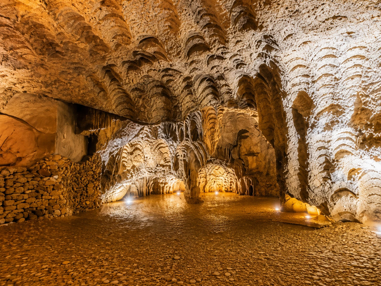
Important prehistoric cave landscape in the eastern Rif / Oriental corridor.
Open place →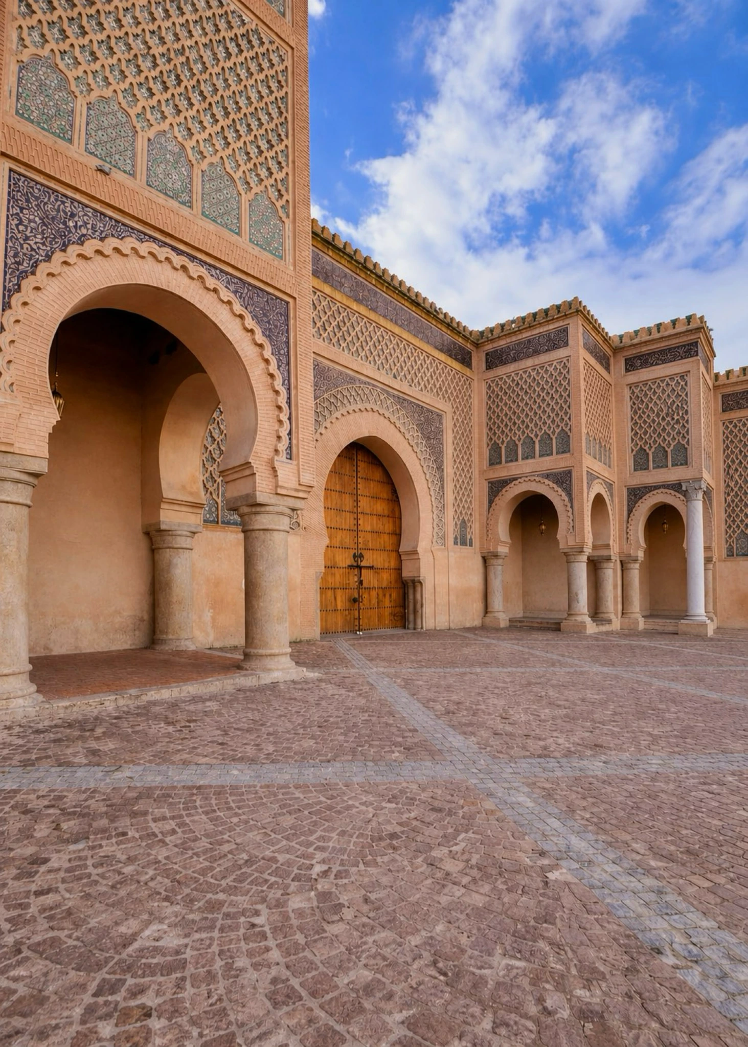
Monumental imperial gate and one of Meknès’s strongest visual symbols.
Open place →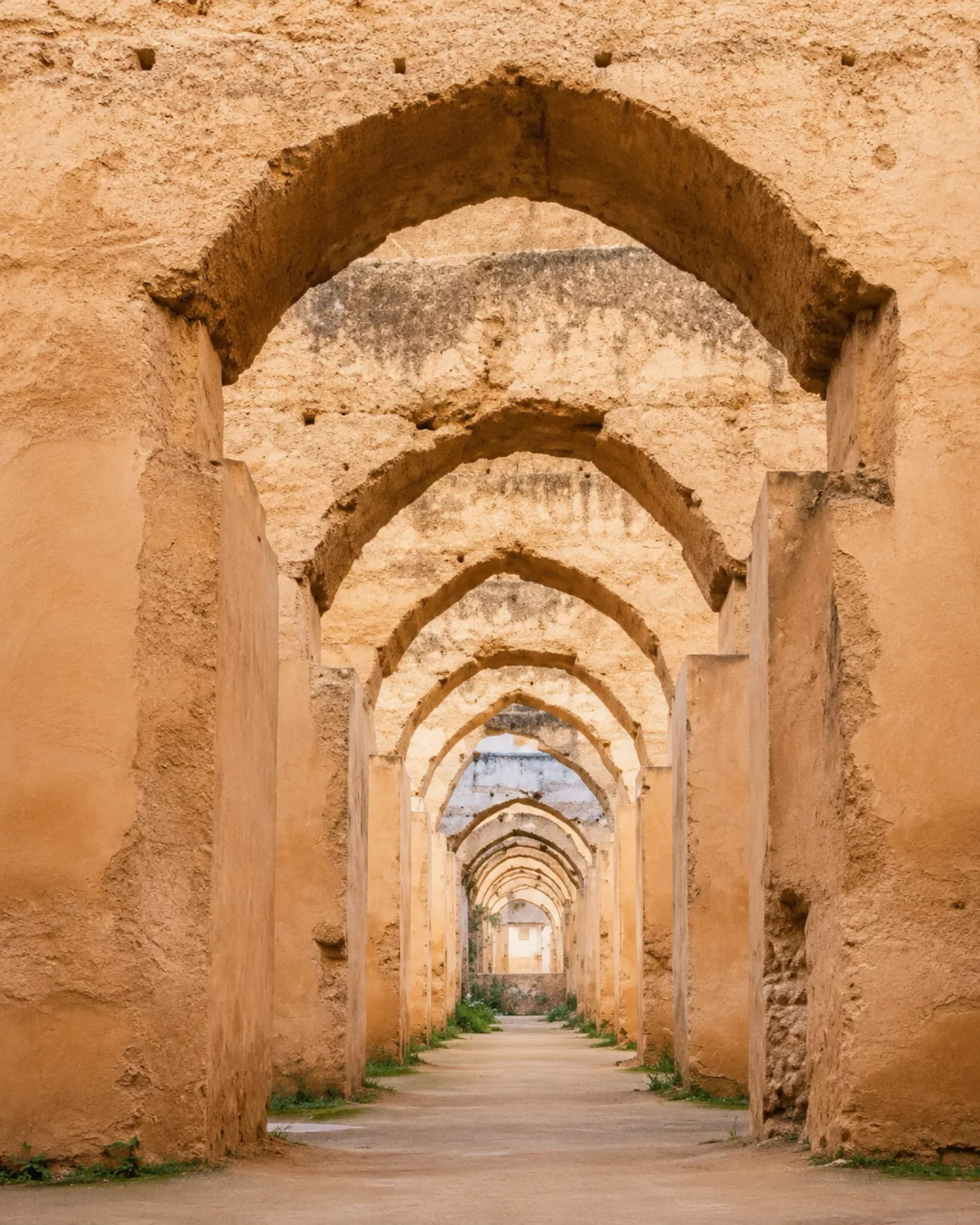
Granaries, stables and engineering memory of imperial Meknès.
Open place →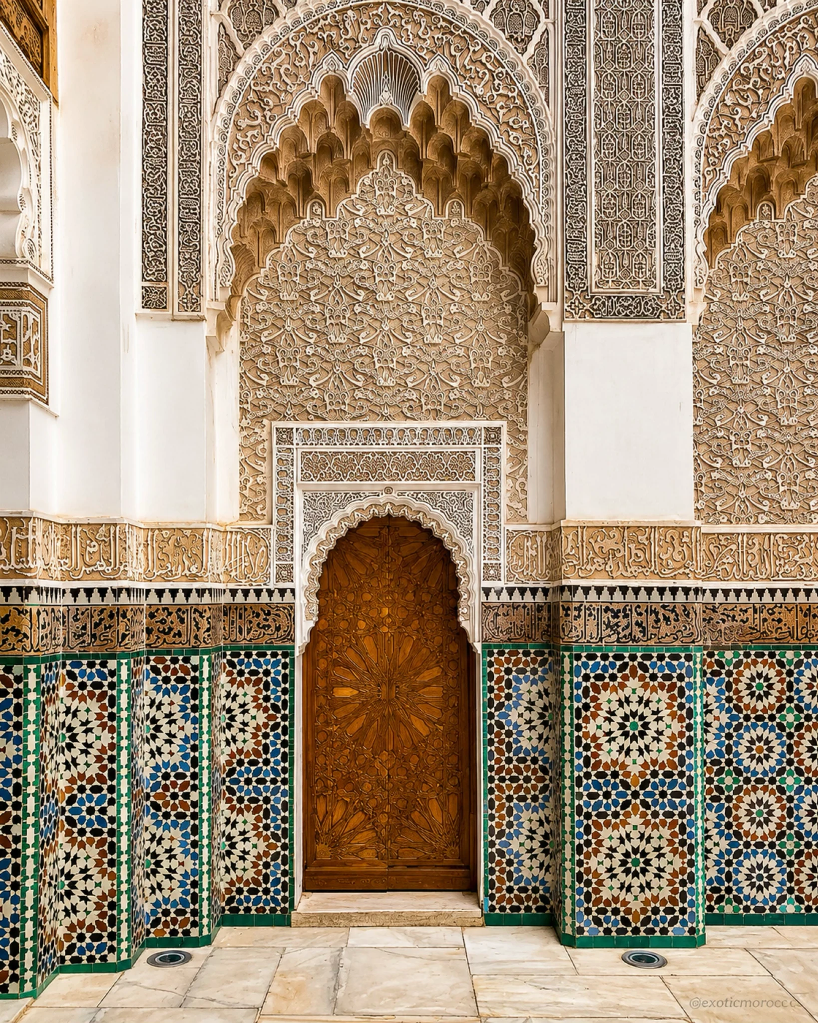
Scholarly architecture, carved cedar, stucco and tilework in Marrakech.
Open place →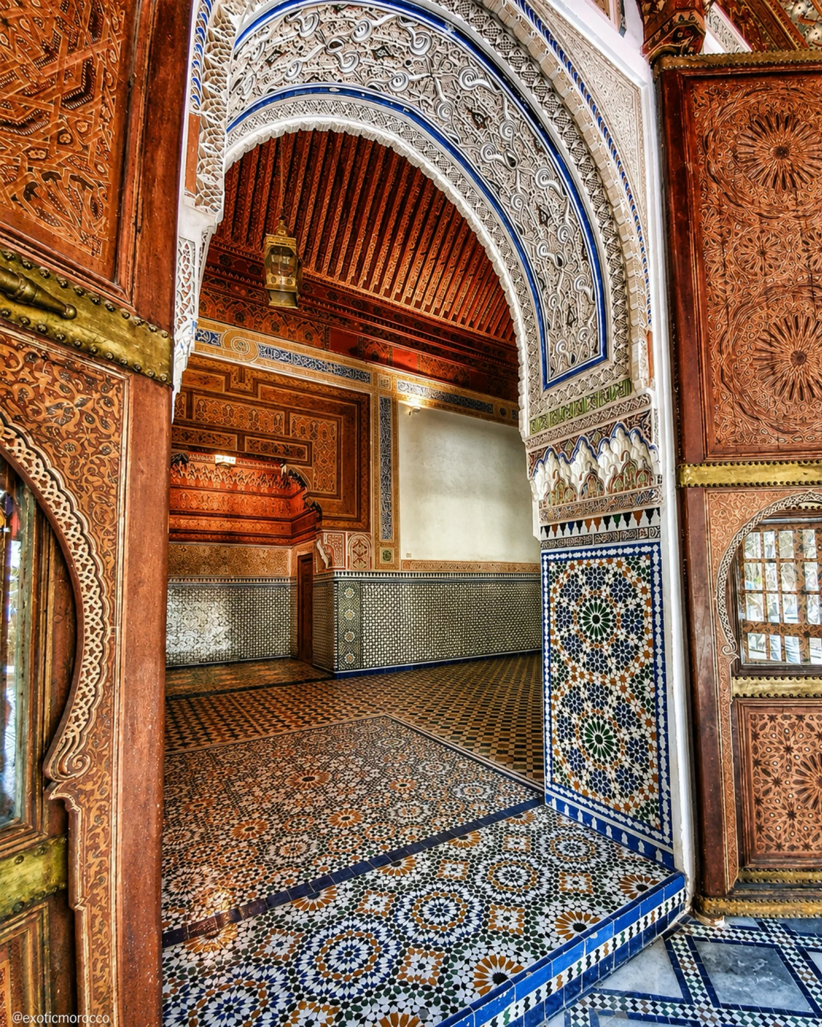
Courtyards, painted ceilings and late Moroccan palace craftsmanship.
Open place →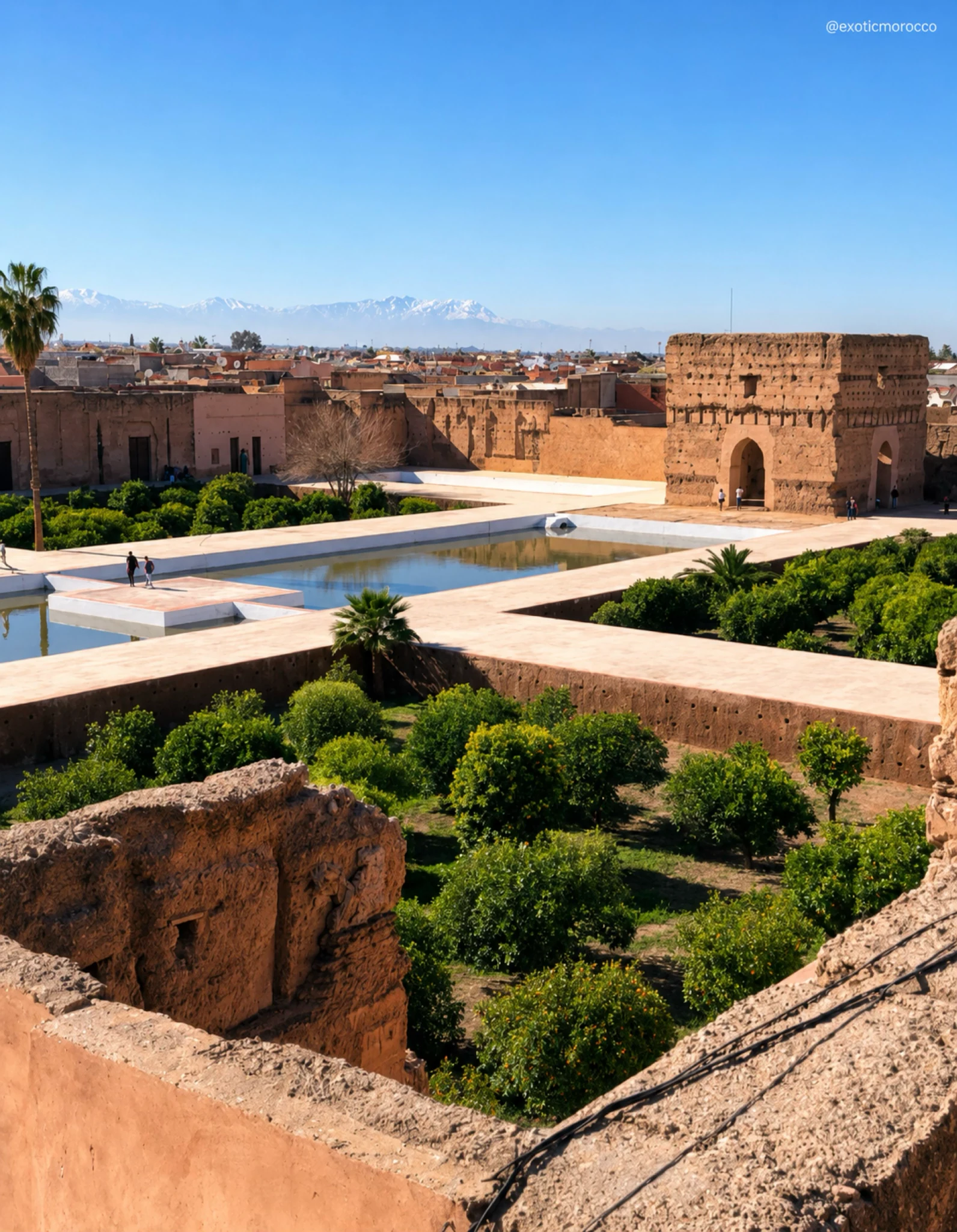
Ruined royal palace, vast courtyards and Saadian political memory.
Open place →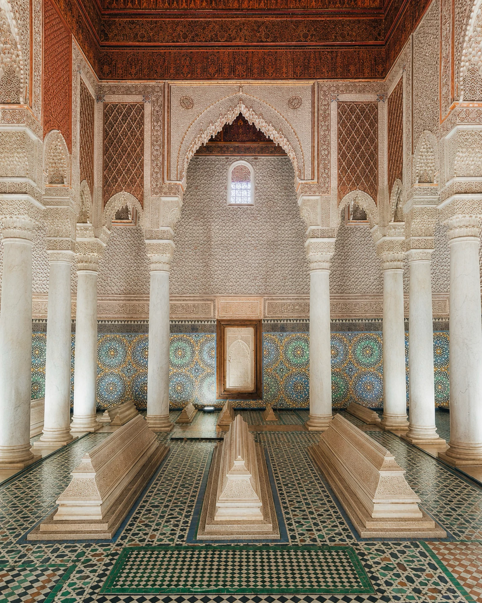
Royal necropolis, carved decoration and Saadian Marrakech identity.
Open place →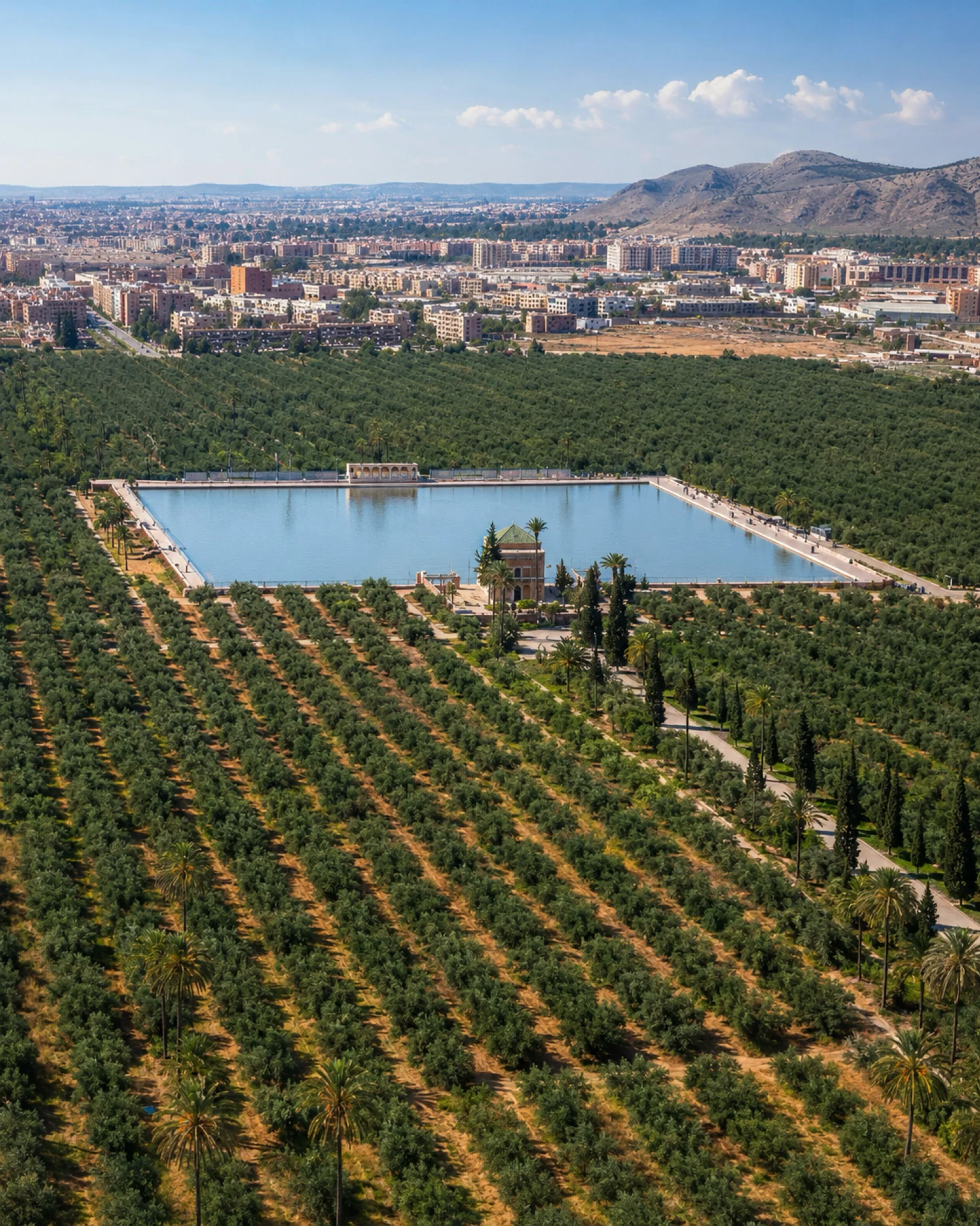
Historic basin, olive groves and Atlas-facing Marrakech landscape.
Open place →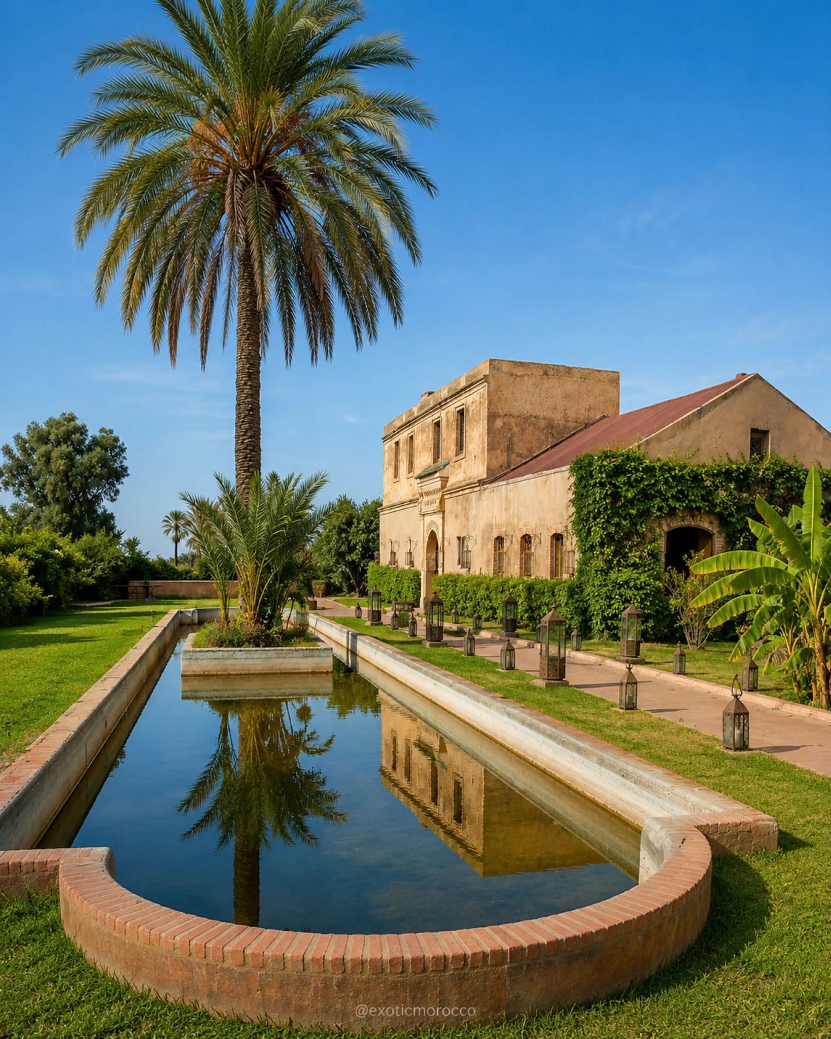
Royal garden landscape and hydraulic memory in Marrakech.
Open place →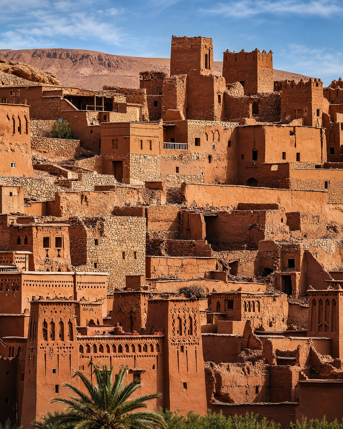
Ouarzazate kasbah, southern architecture and route memory.
Open place →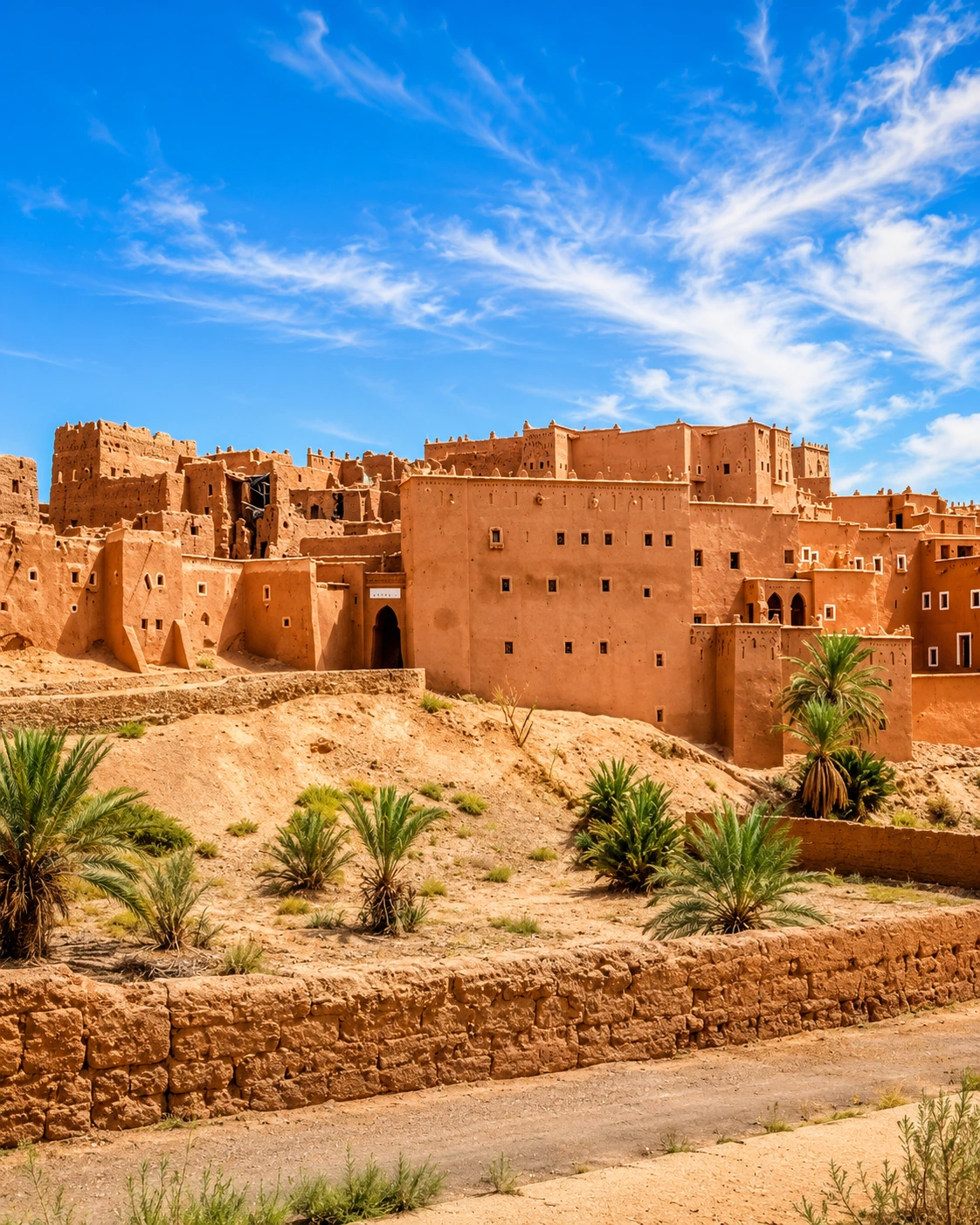
High Atlas palace-kasbah linked to caravan roads and mountain politics.
Open place →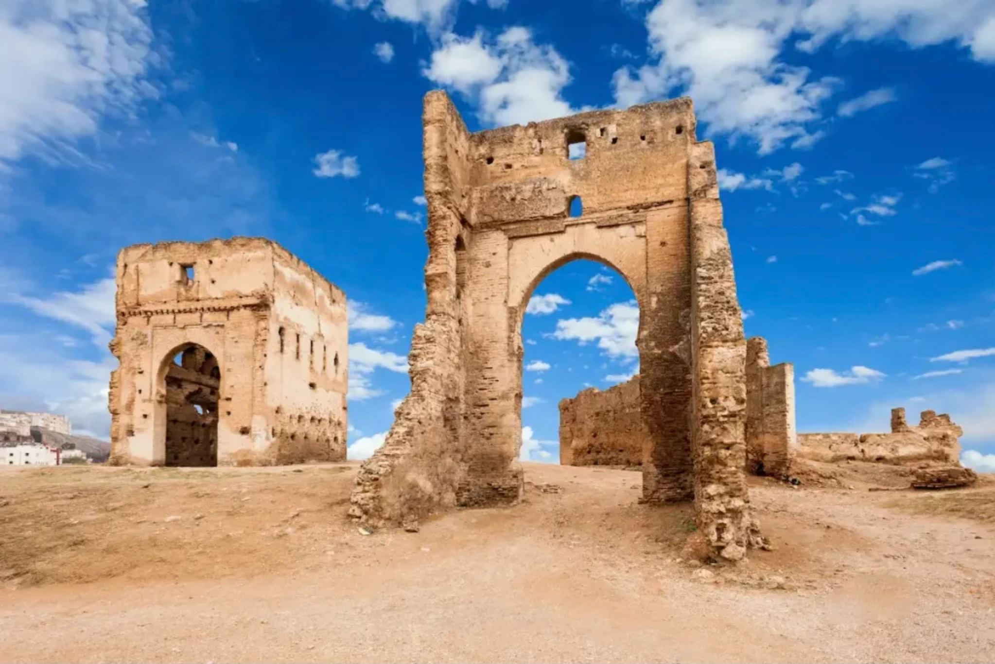
Fès defensive and hillside viewpoints over the old city.
Open place →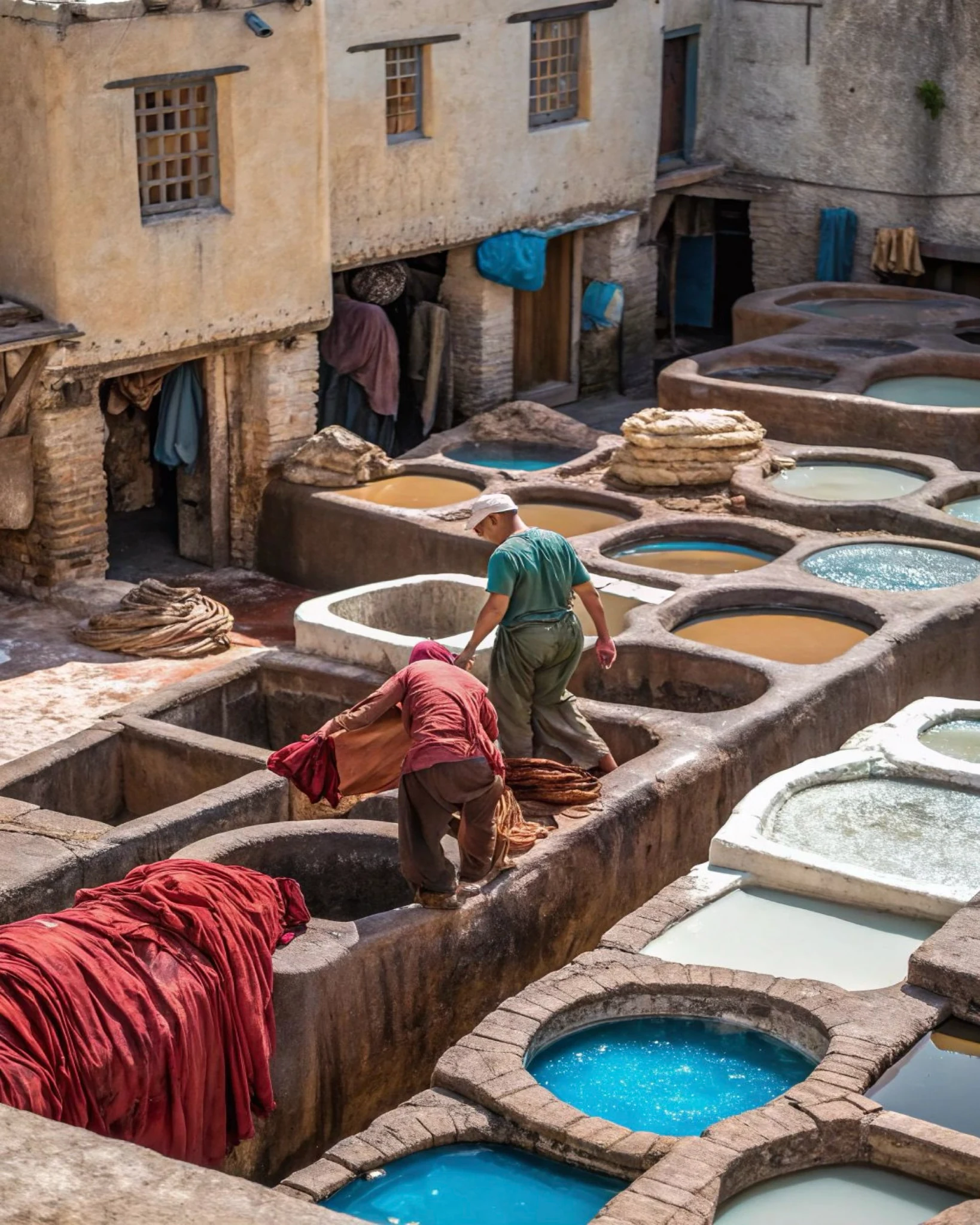
Living leather-craft site and one of Fès’s most recognisable artisan places.
Open place →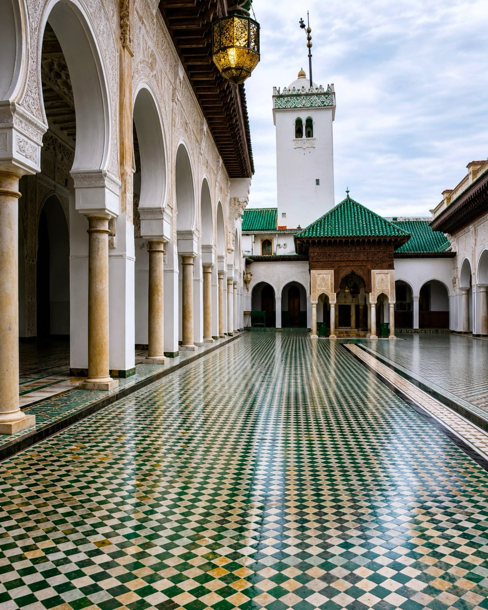
Scholarly, spiritual and urban memory at the heart of Fès.
Open place →Explore national parks, protected landscapes and the life they shelter.
High Atlas park around Jbel Toubkal, Morocco’s highest mountain.
Open place →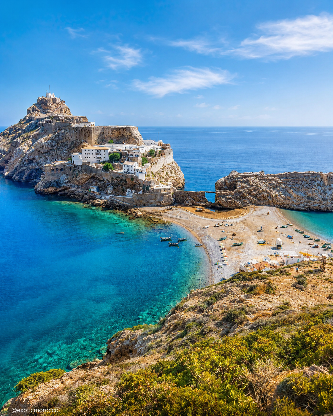
Rif Mediterranean cliffs, coves and marine-influenced biodiversity.
Open place →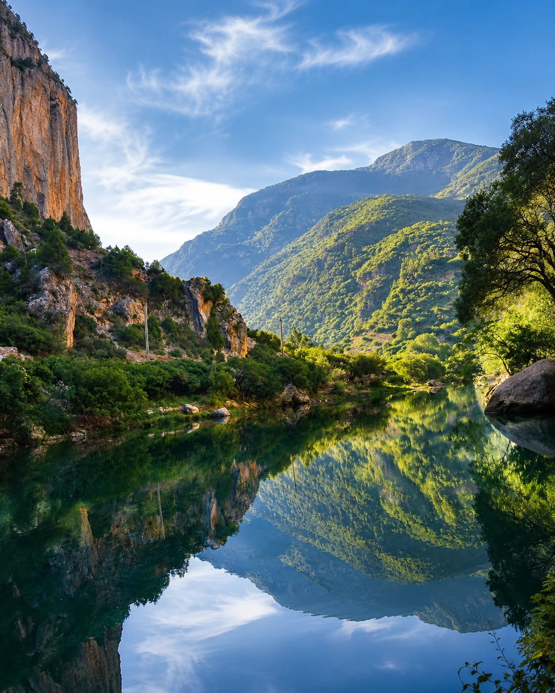
Rif mountain landscapes, fir forests and Chefchaouen-area nature.
Open place →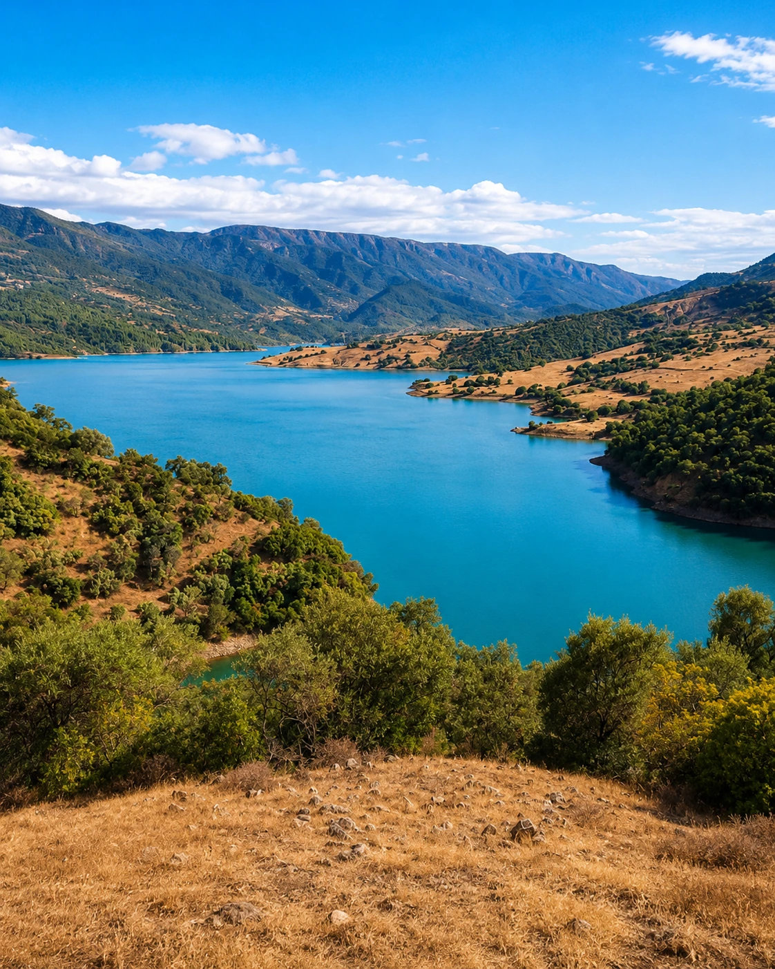
Taza-area forests, caves, mountain scenery and Middle Atlas/Rif gateway.
Open place →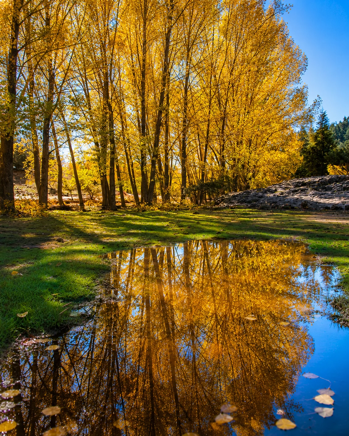
Middle Atlas cedar forests, lakes and highland biodiversity.
Open place →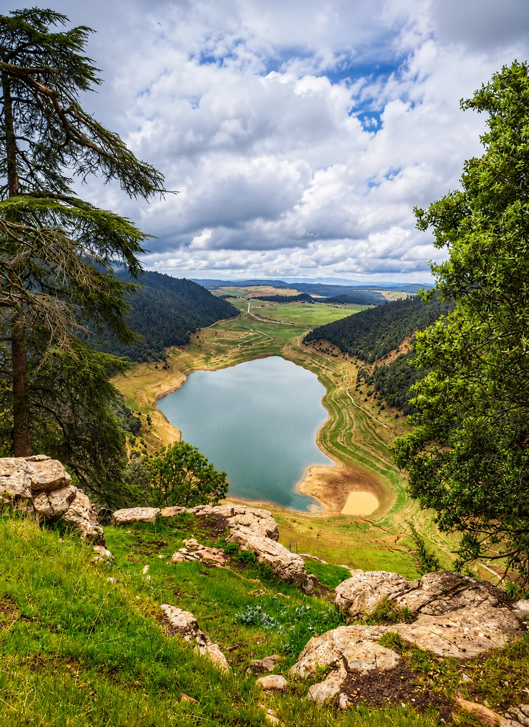
Middle Atlas lakes, cedar zones and Zayan highland landscapes.
Open place →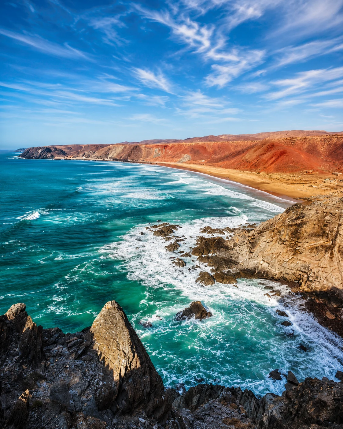
Atlantic dunes, river mouths, argan landscapes and birdlife south of Agadir.
Open place →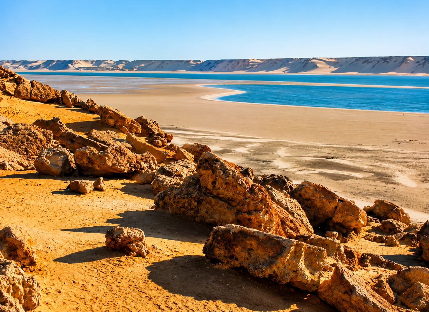
Southern Atlantic lagoon, desert coast and Saharan bird habitat.
Open place →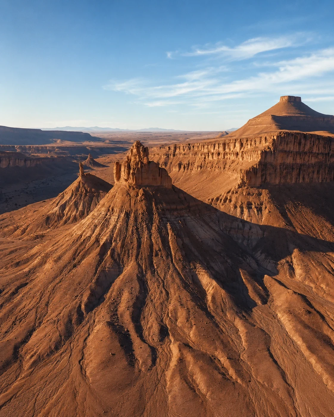
Saharan dry lake, desert steppe and routes toward Erg Chigaga.
Open place →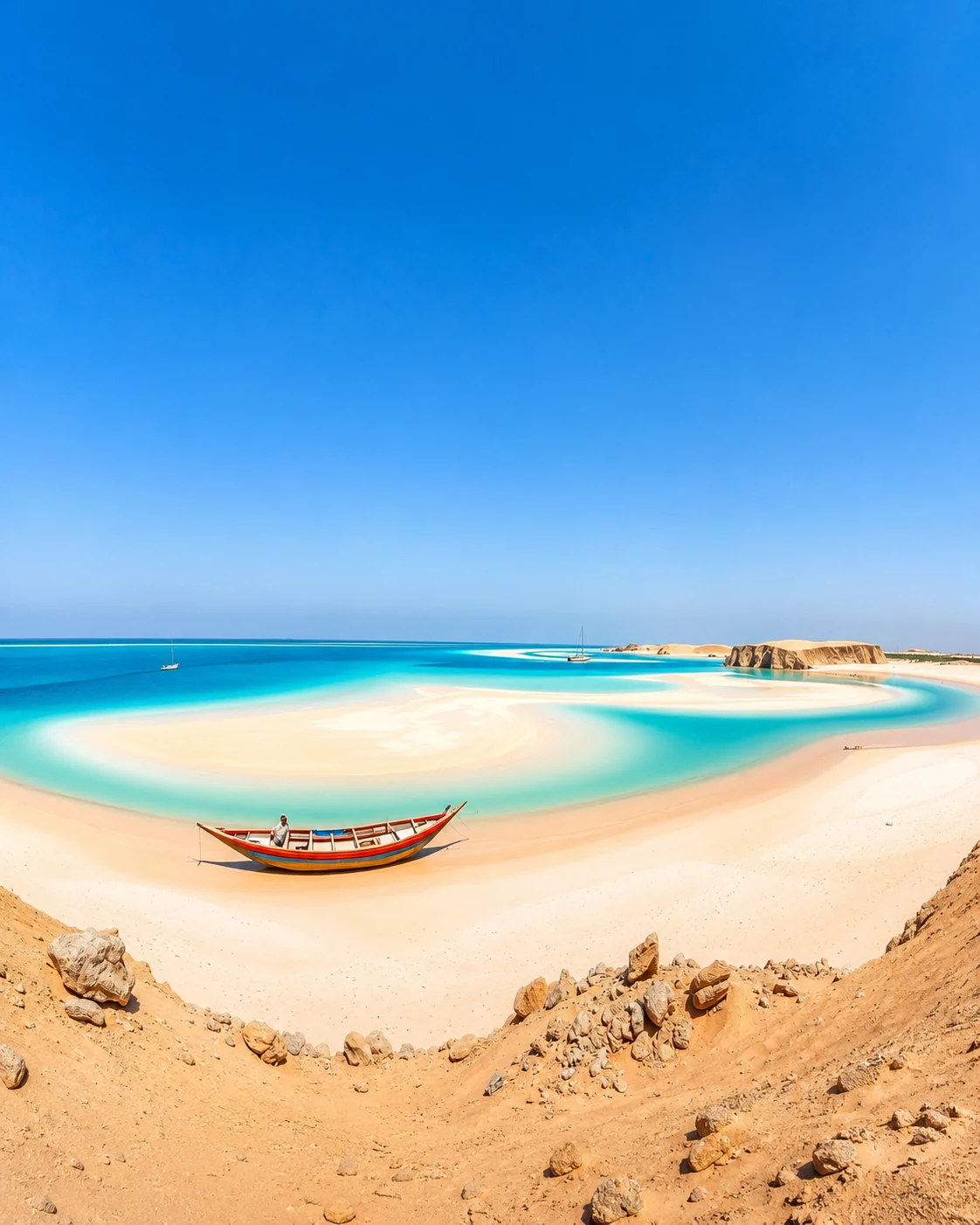
Southern coastal-desert habitats linked to the Dakhla region.
Open place →Eastern High Atlas mountain ecosystems between Midelt, Imilchil and high plateaus.
Open place →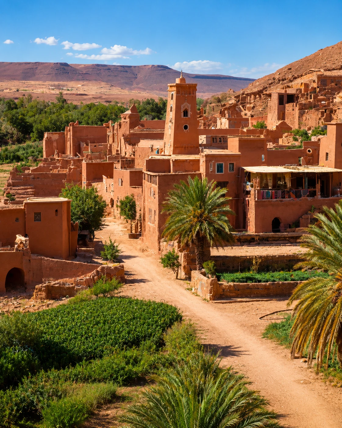
Central High Atlas geology, valleys, dinosaur tracks and cultural landscapes.
Open place →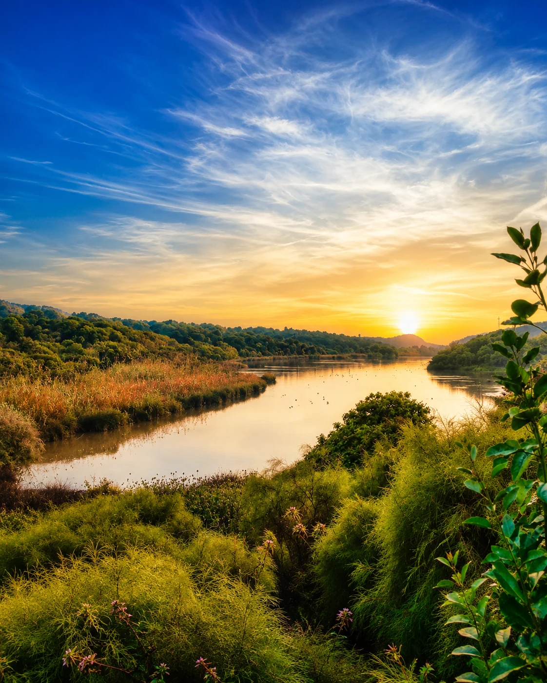
Lake, dune and forest reserve near Mehdia and Kénitra.
Open place →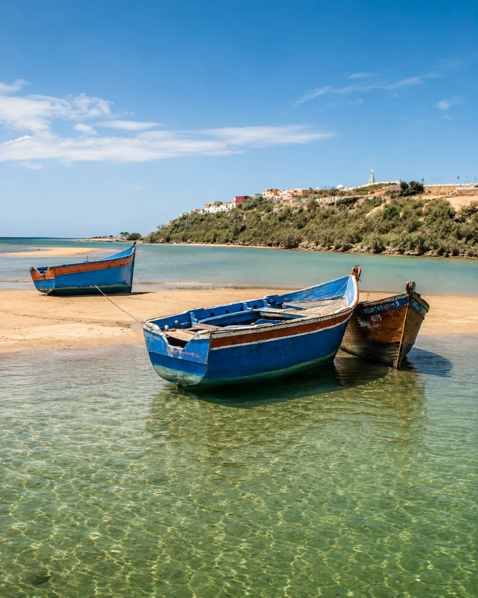
Major Atlantic lagoon and birding landscape near Moulay Bousselham.
Open place →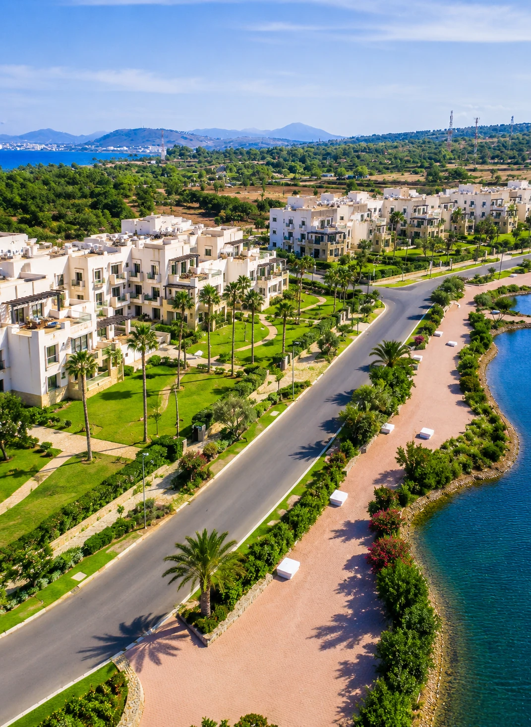
Nador’s great lagoon, linking Mediterranean water, wetlands and urban coast.
Open place →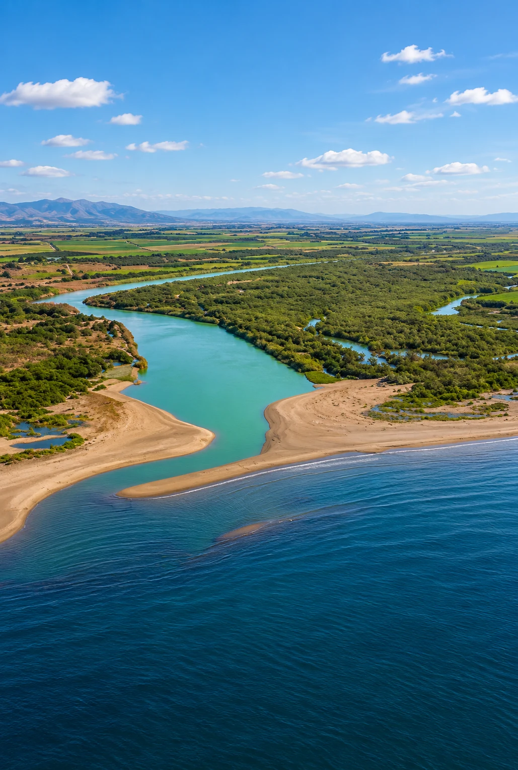
Eastern Mediterranean river-mouth habitat near Saïdia and Ras El Ma.
Open place →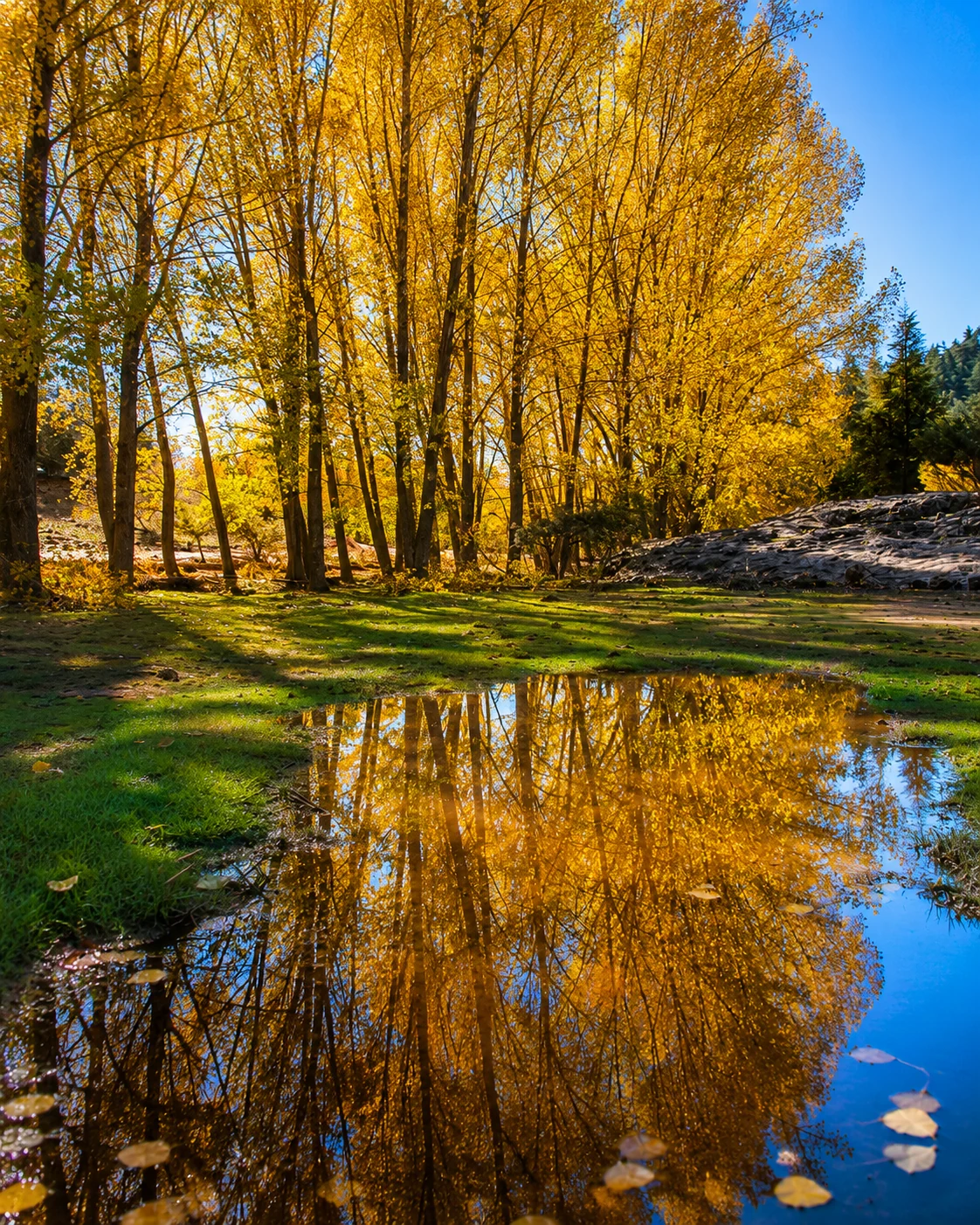
Lake landscape near Ifrane, cedar routes and mountain leisure.
Open place →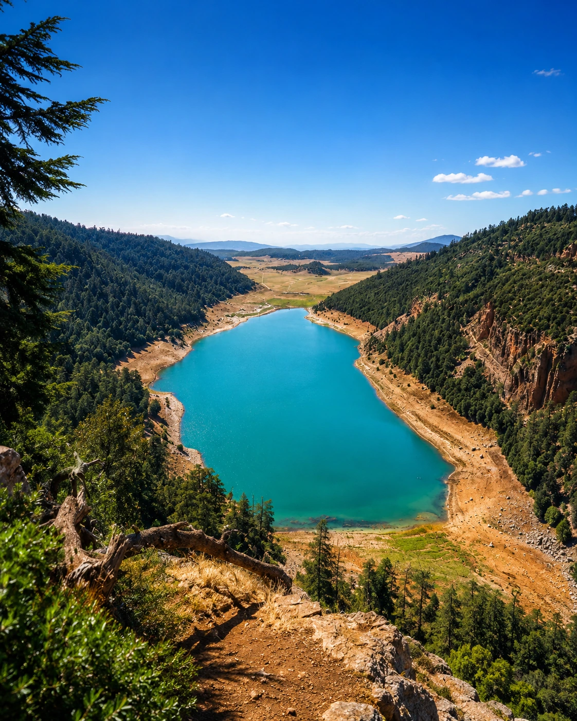
Highland lake near Khenifra with forested slopes and Zayan landscapes.
Open place →Follow eighteen places along the northern coast, Rif and Mediterranean.
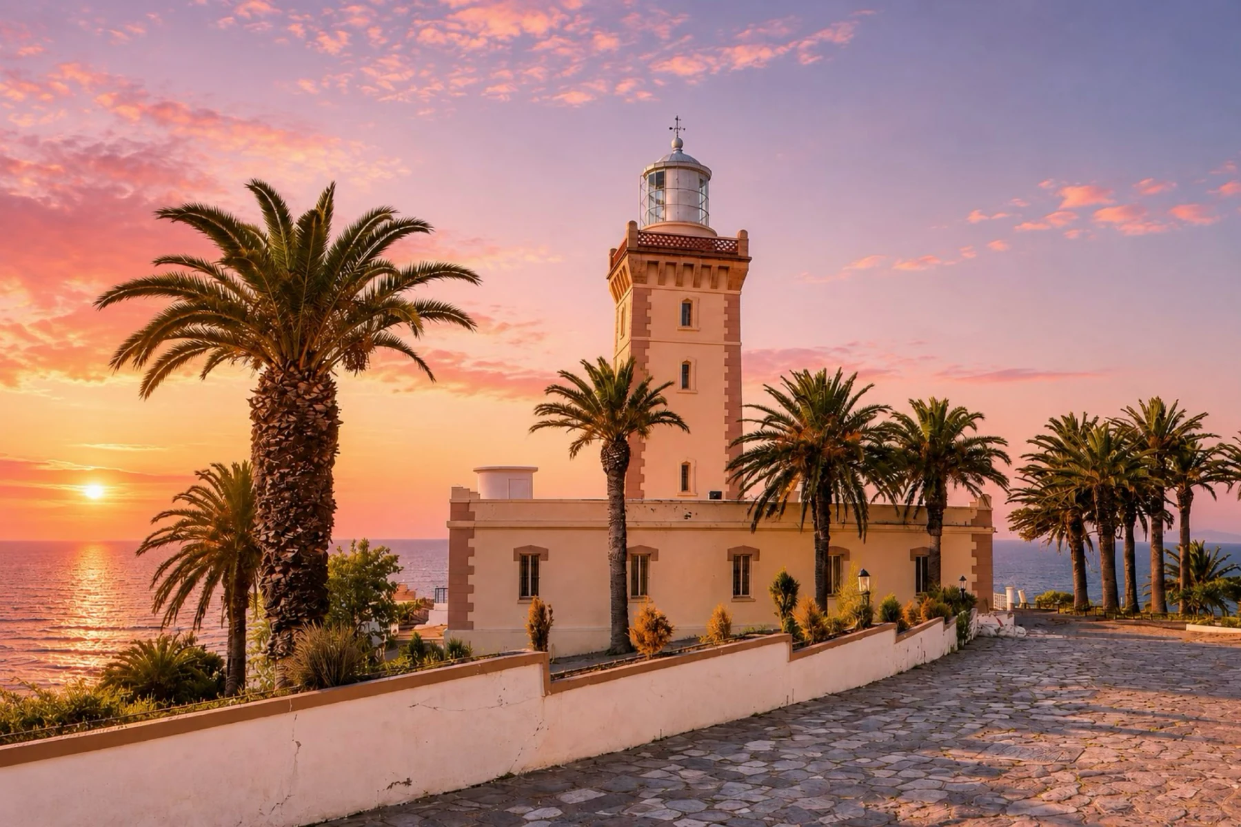
Tangier headland where Atlantic and Strait horizons meet.
Open place →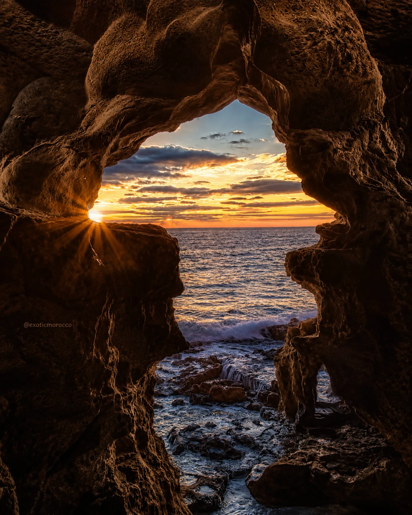
Mythic coastal caves near Tangier and Cap Spartel.
Open place →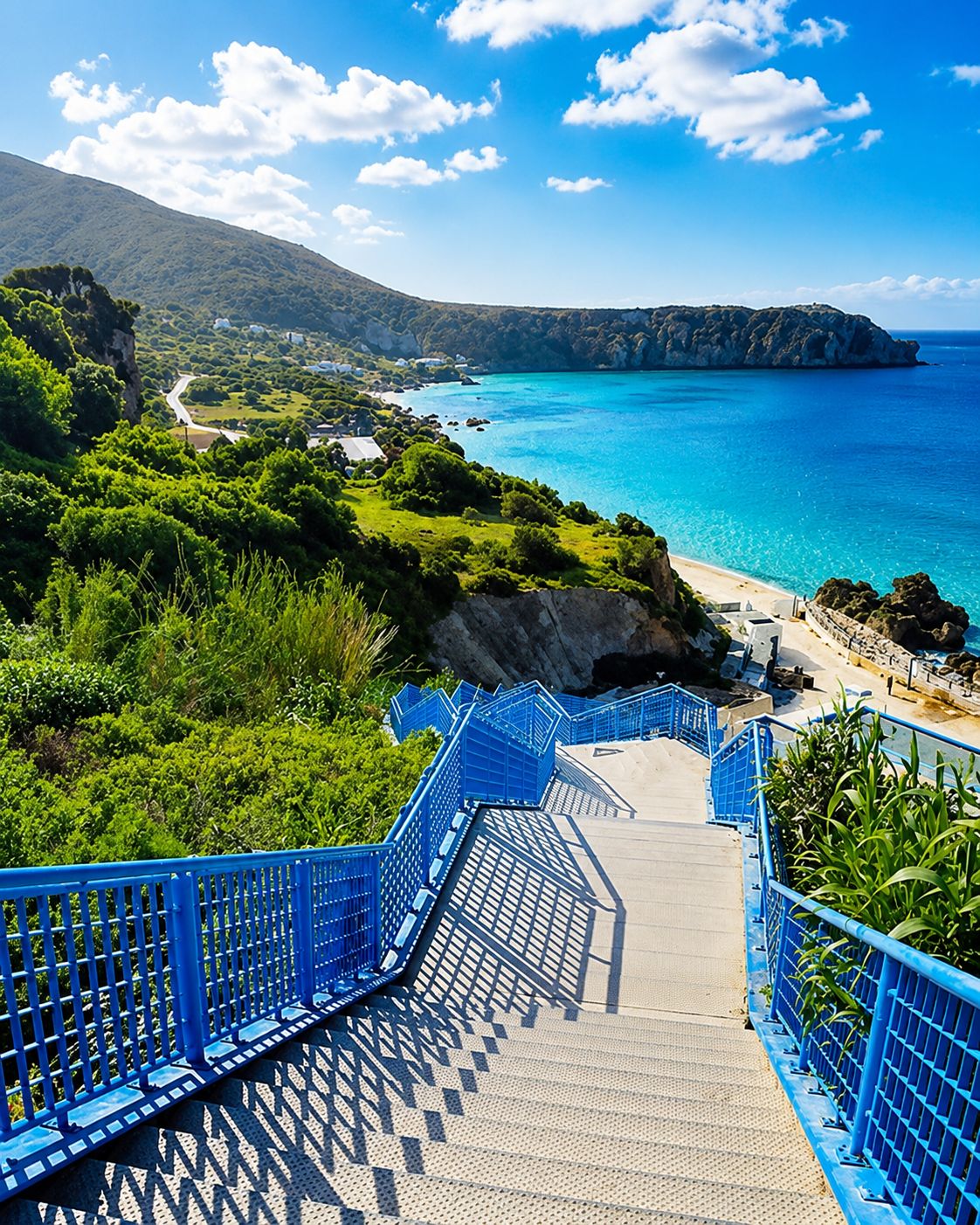
Dramatic coast-and-mountain landscape facing the Strait gateway.
Open place →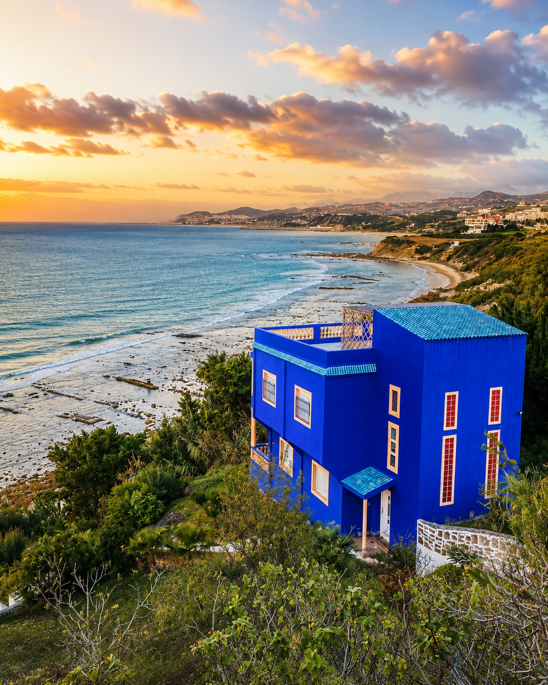
Historic coastal fortress area between Tangier and Ceuta.
Open place →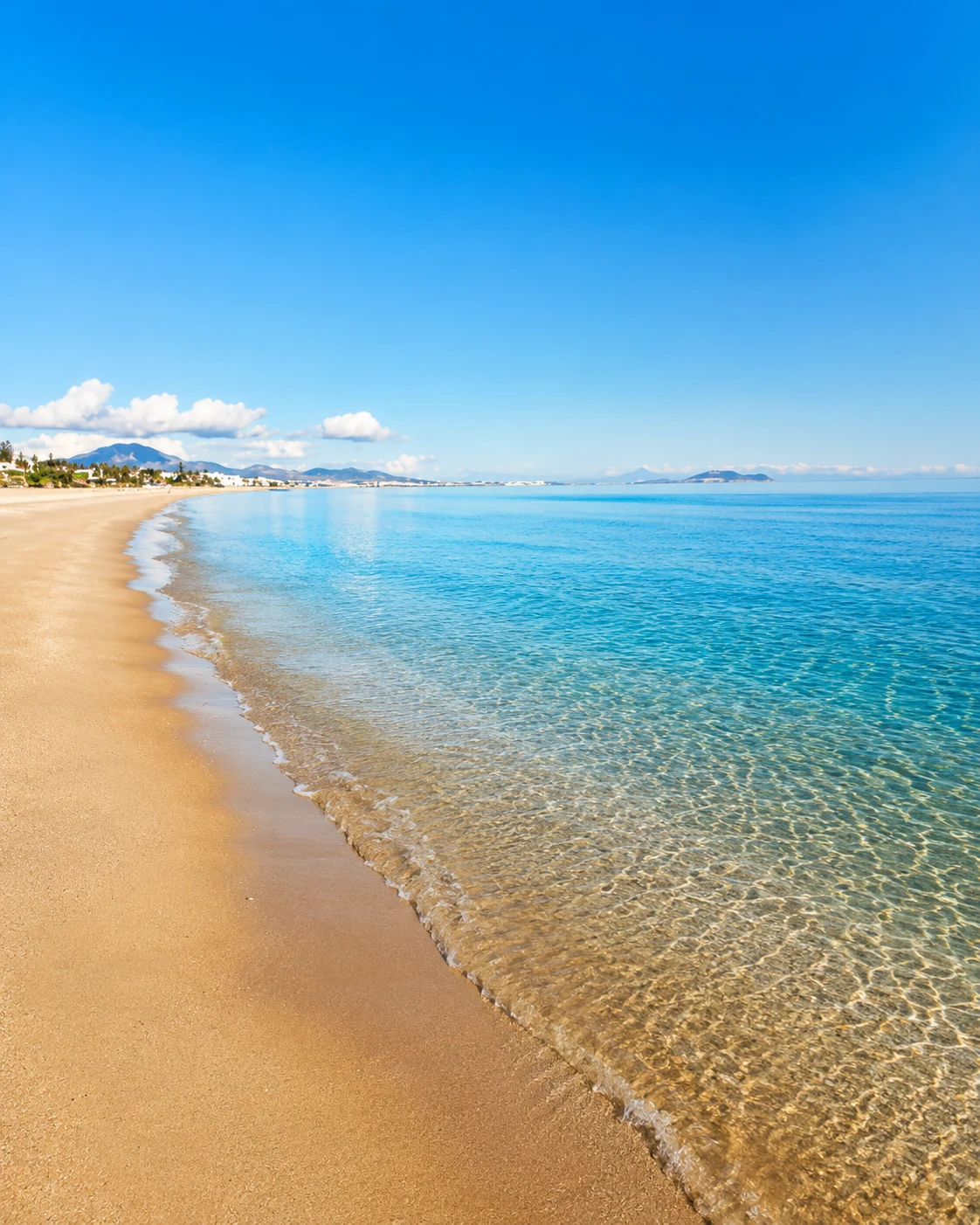
Tétouan-area bay linking M’diq, Cabo Negro, Martil and seaside resort life.
Open place →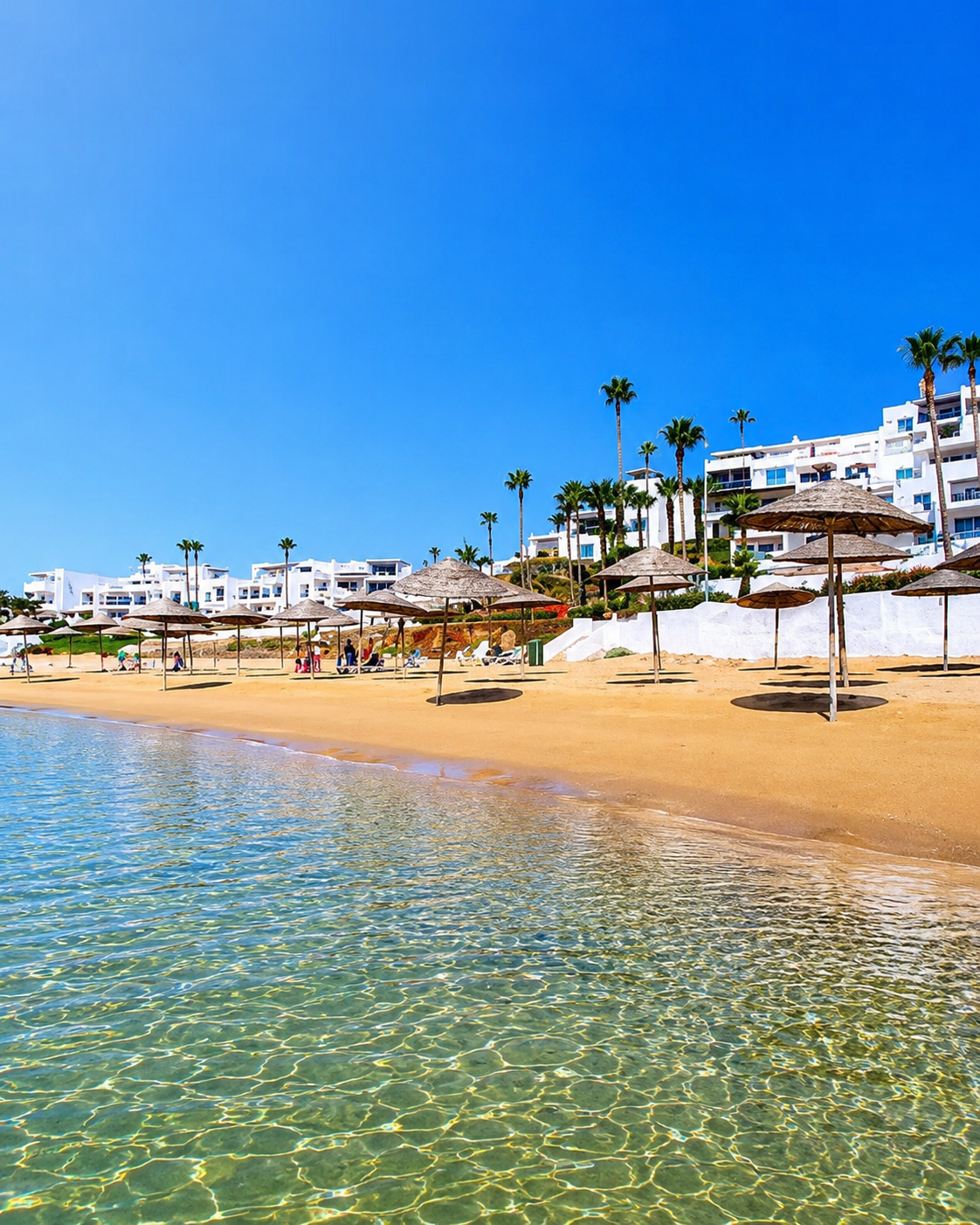
Tétouan-area resort coast and green seaside slopes.
Open place →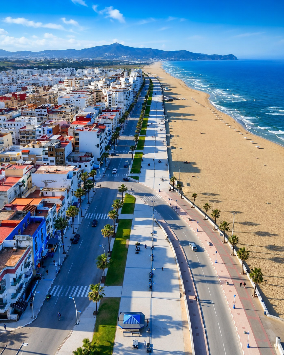
Local seaside life and Mediterranean beach culture near Tétouan.
Open place →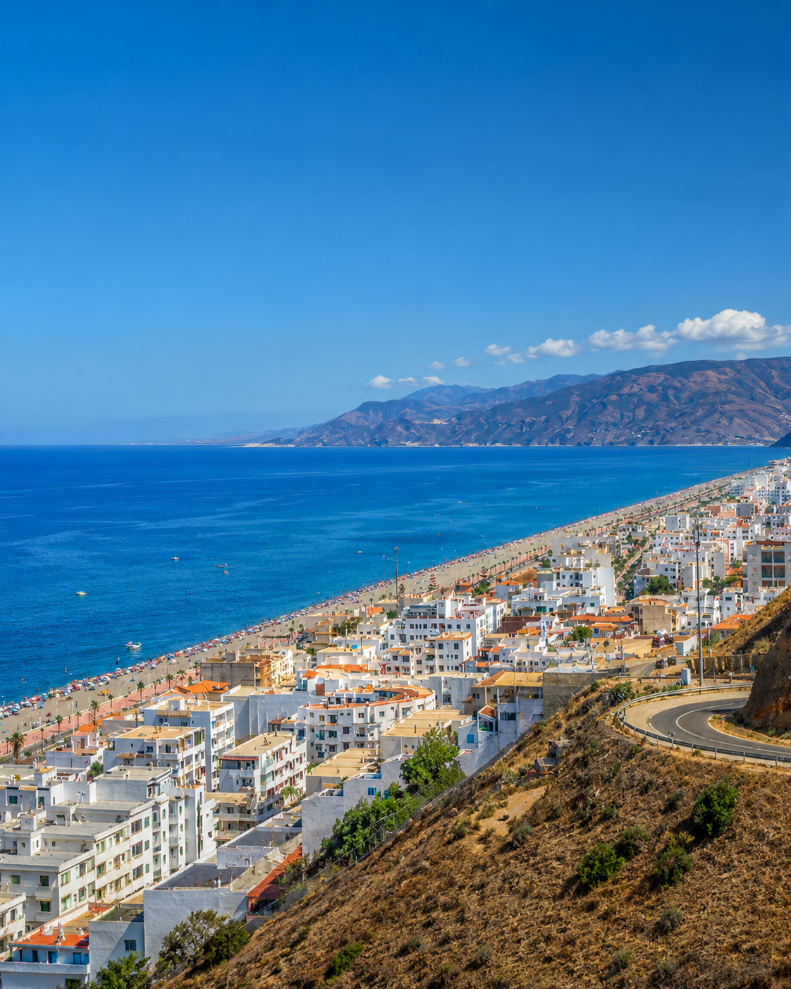
Small Mediterranean town and river-mouth coast between Tétouan and the Rif.
Open place →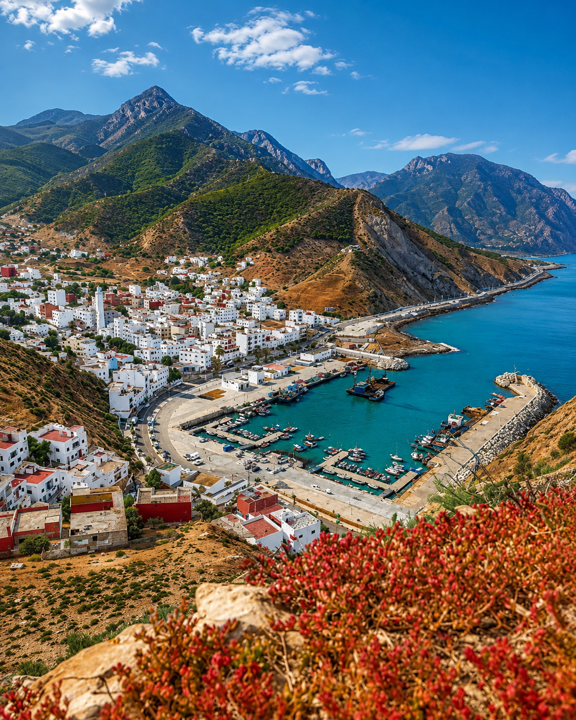
Rif coastal town, coves and sea-road atmosphere toward Al Hoceima.
Open place →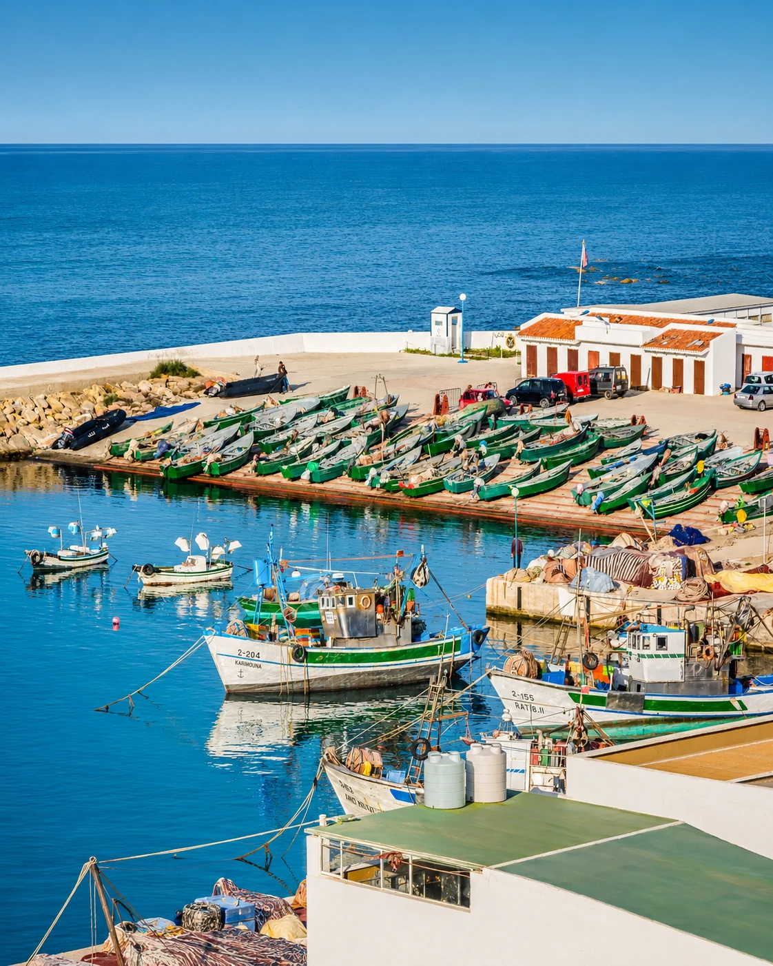
Quiet Mediterranean cove and small fishing-beach atmosphere.
Open place →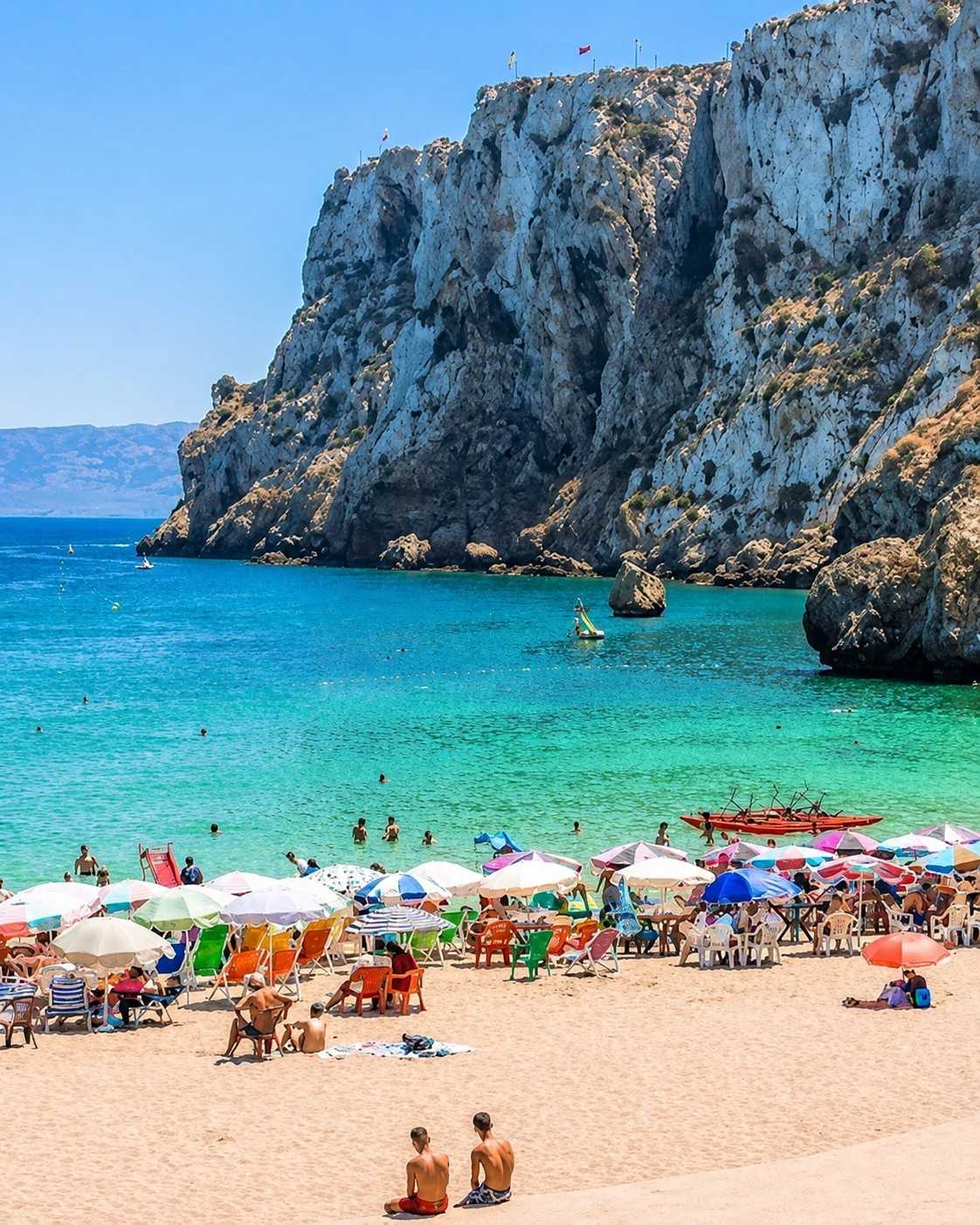
Urban bay beach below Al Hoceima’s cliffs.
Open place →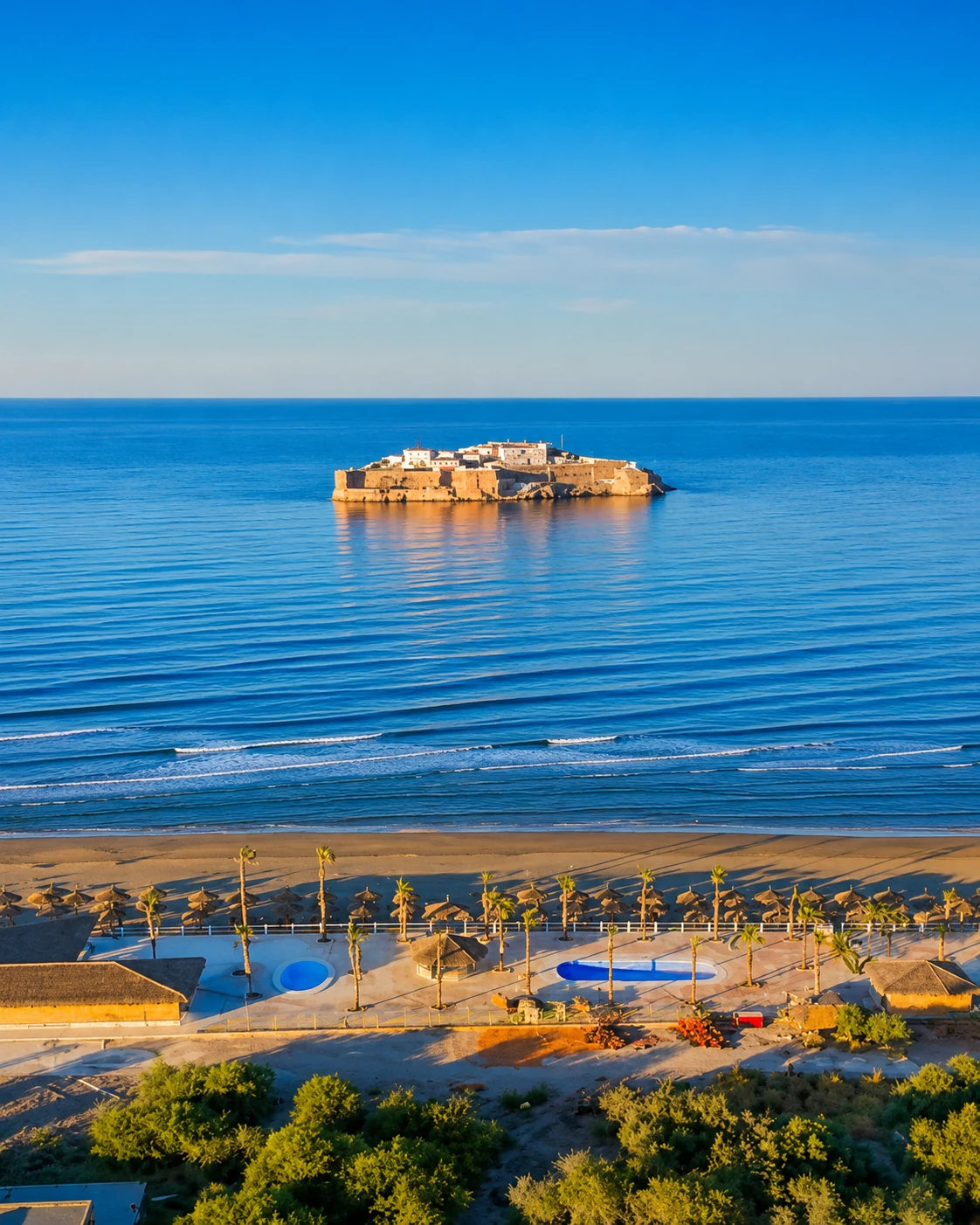
Wide Mediterranean beach facing island silhouettes and Rif landscapes.
Open place →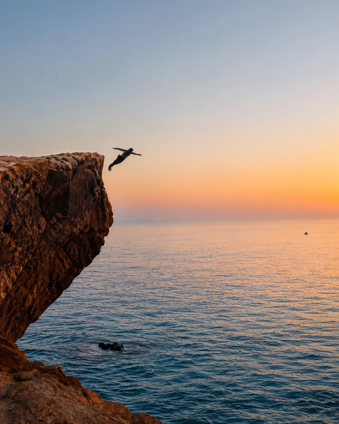
Mediterranean coastal spot between Nador and Saïdia.
Open place →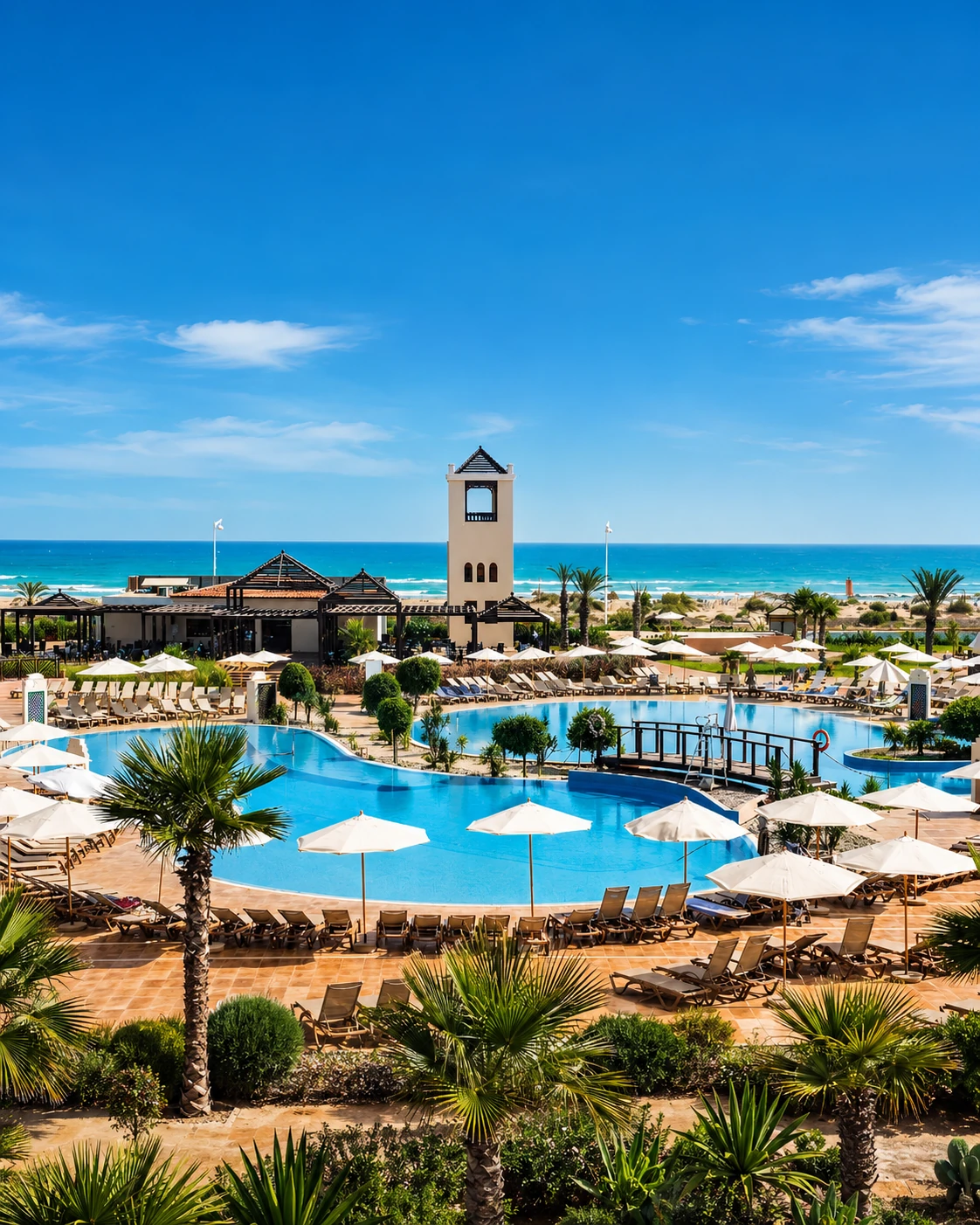
Long Mediterranean beach resort known as an eastern coastal escape.
Open place →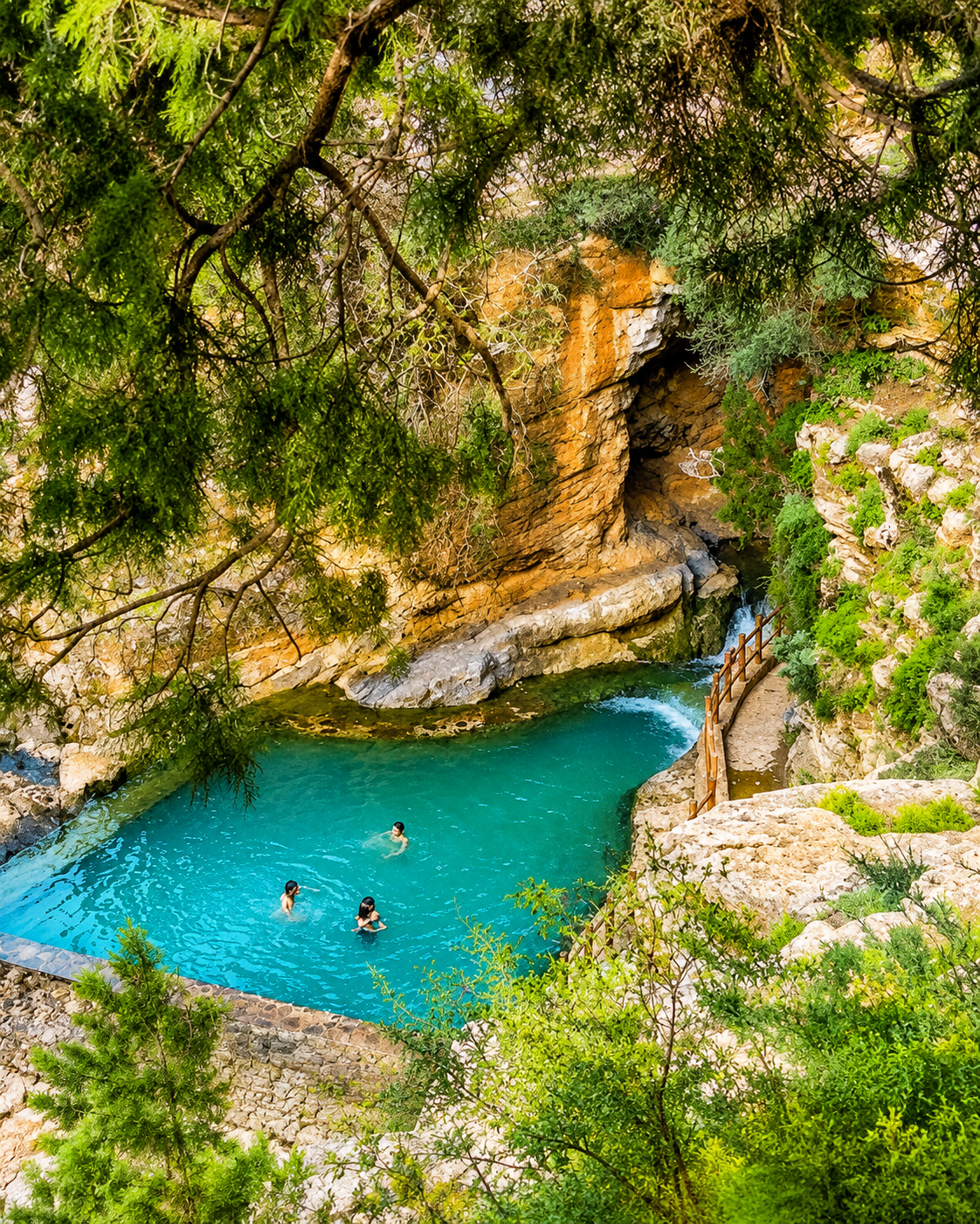
Beni Snassen mountain, cave and valley landscape near Berkane.
Open place →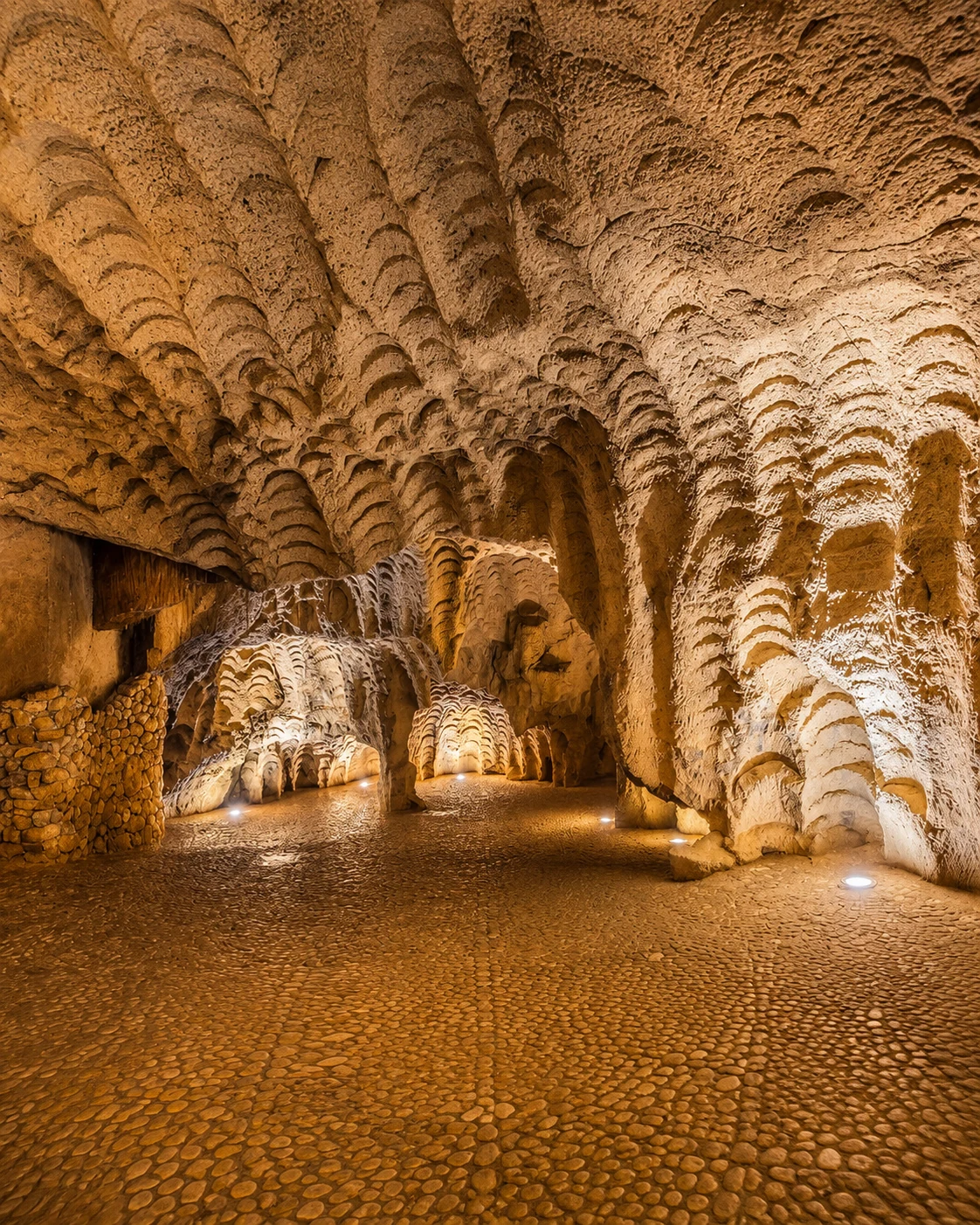
Deep cave system linked to Taza and Tazekka-area geology.
Open place →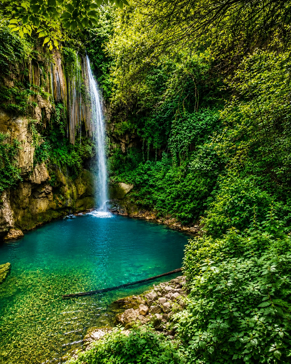
Waterfalls and mountain walks near Chefchaouen.
Open place →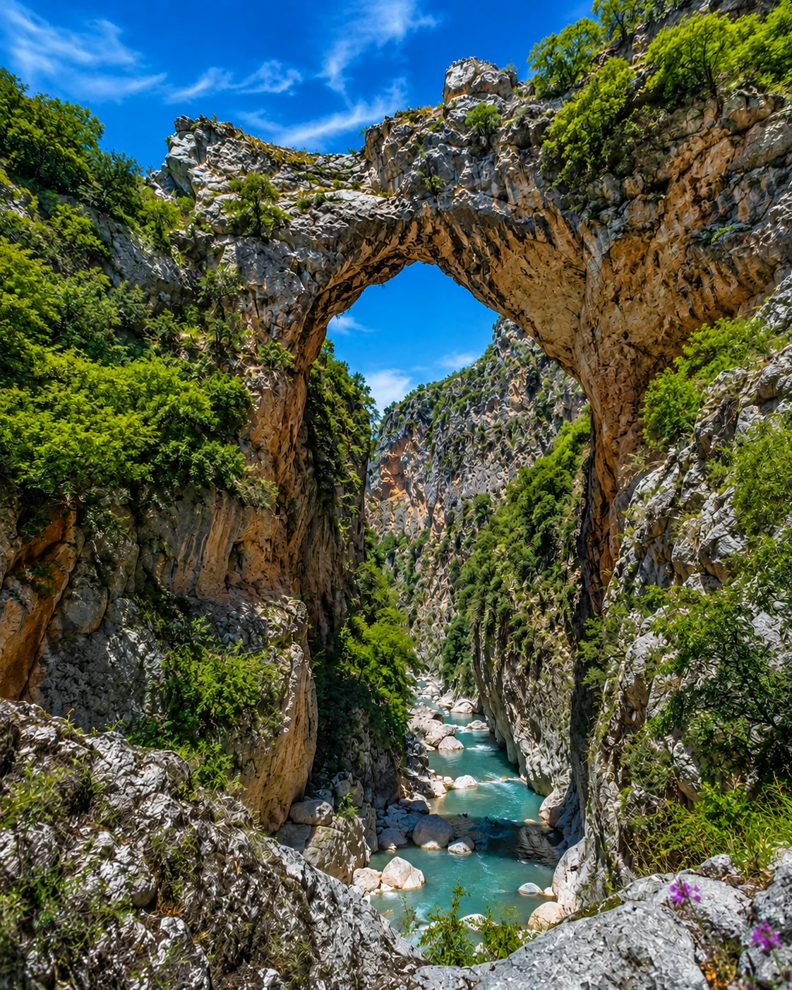
Rock arch and hiking landscape in the Akchour valley.
Open place →Large full-width cards for beaches, headlands, desert coastlines, lagoons and southern Atlantic horizons.
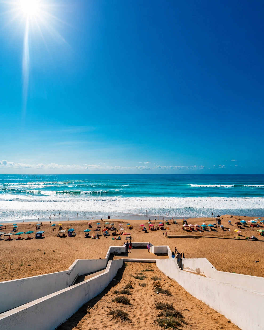
A broad beach, Atlantic surf and the Sebou mouth near Kénitra.
Open place →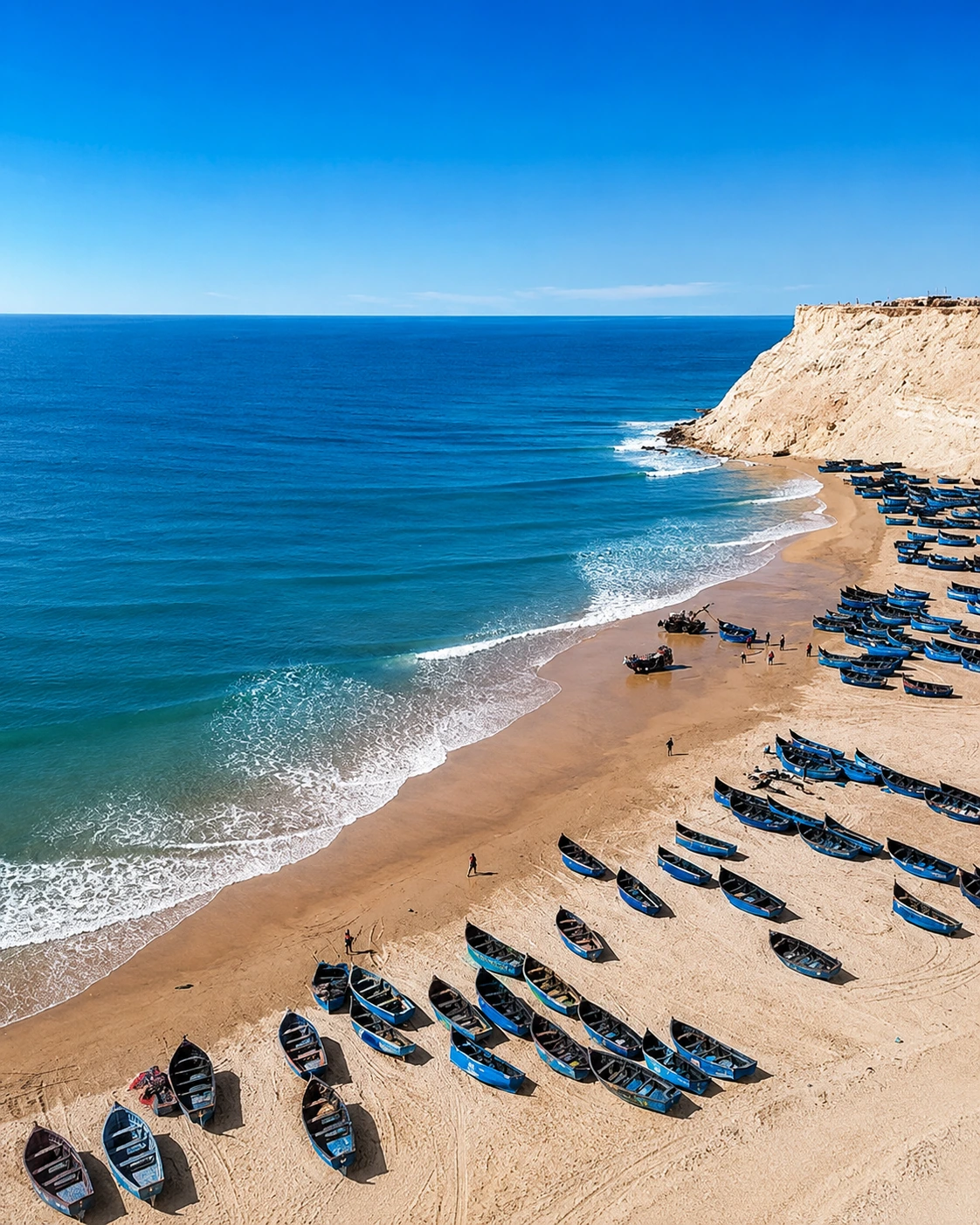
Wild Atlantic atmosphere, open sand and a relaxed coastal edge south of Essaouira.
Open place →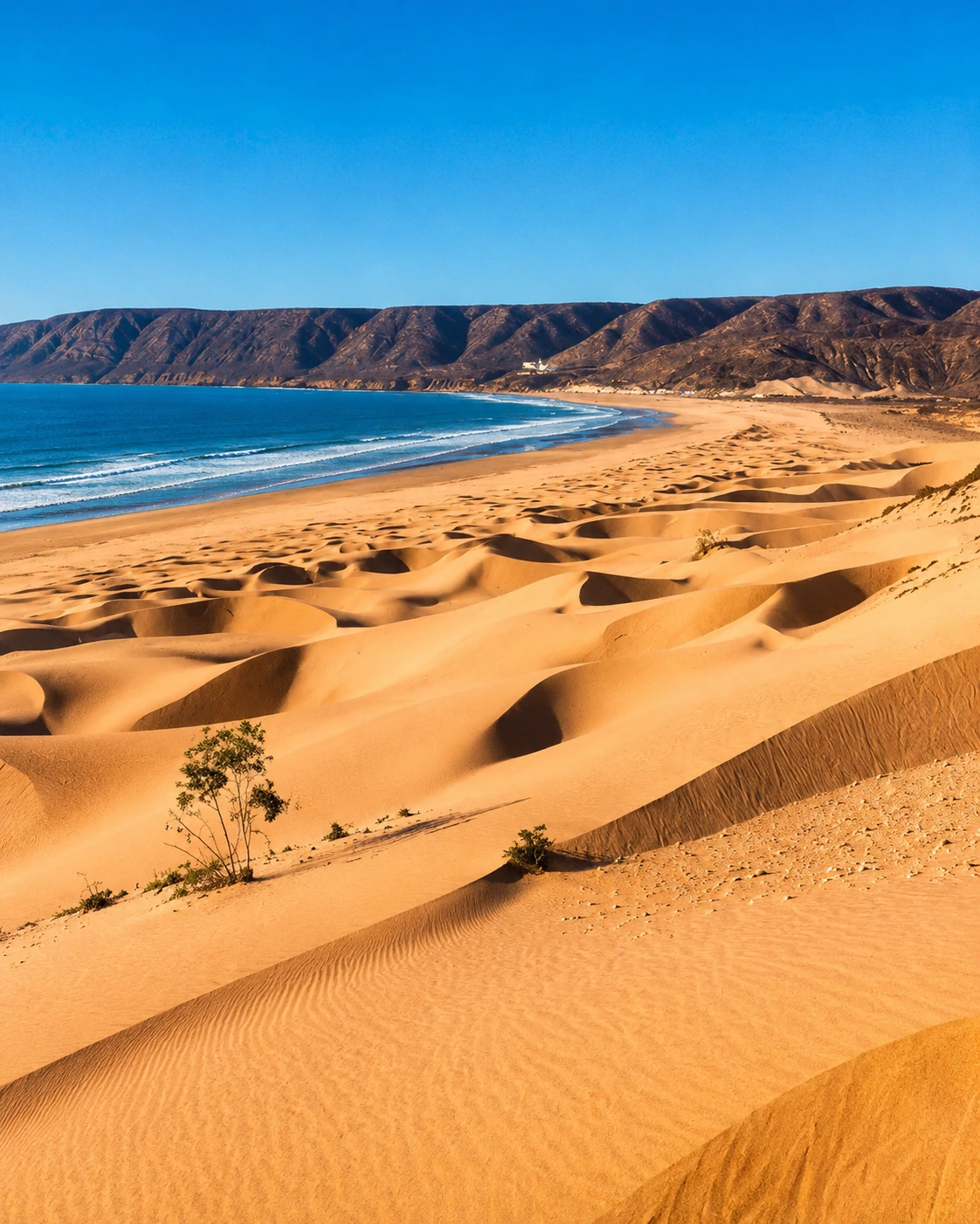
Dunes, long beach views and a dramatic coastal landscape south of Essaouira.
Open place →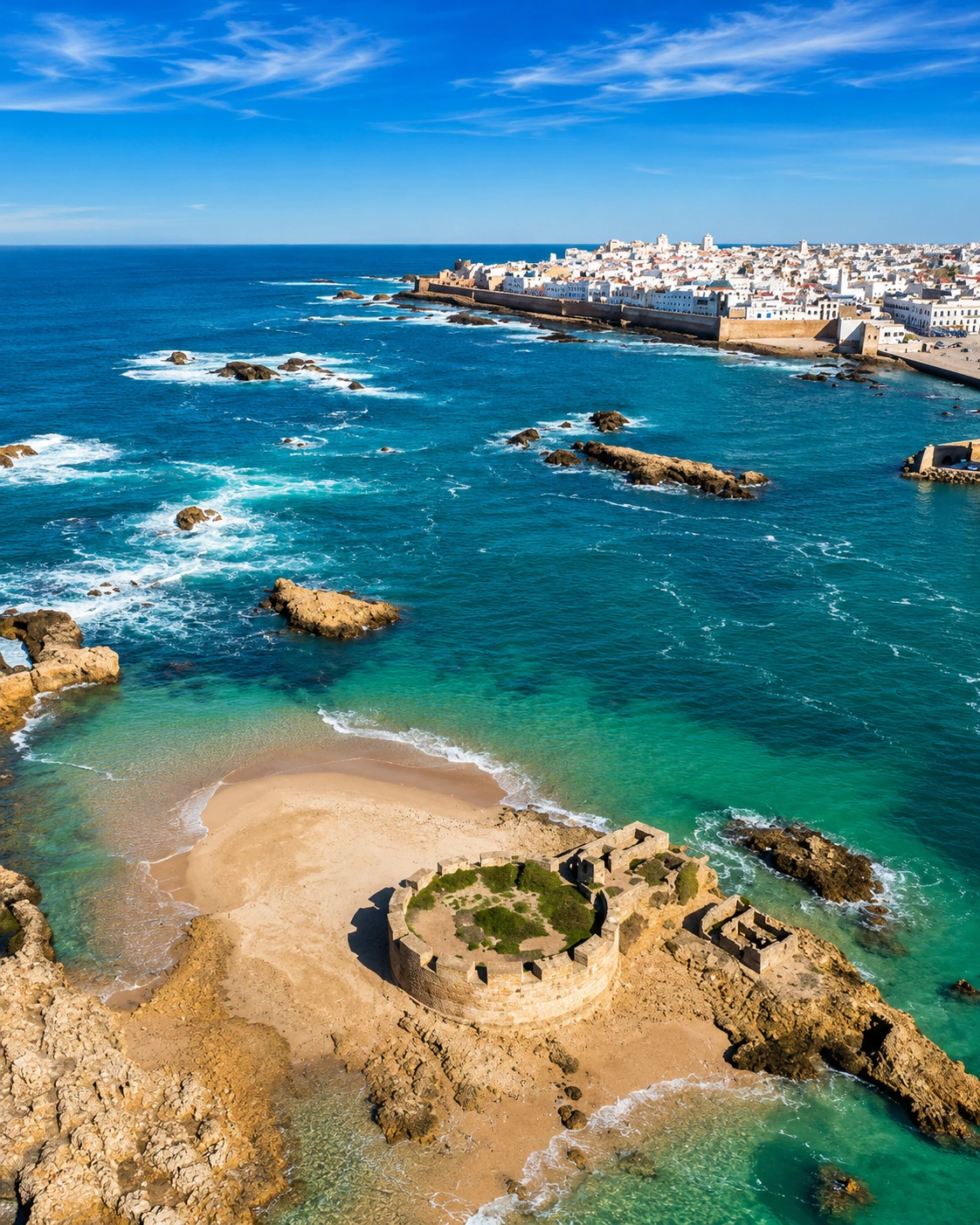
Offshore islands, sea birds and the maritime identity of Essaouira.
Open place →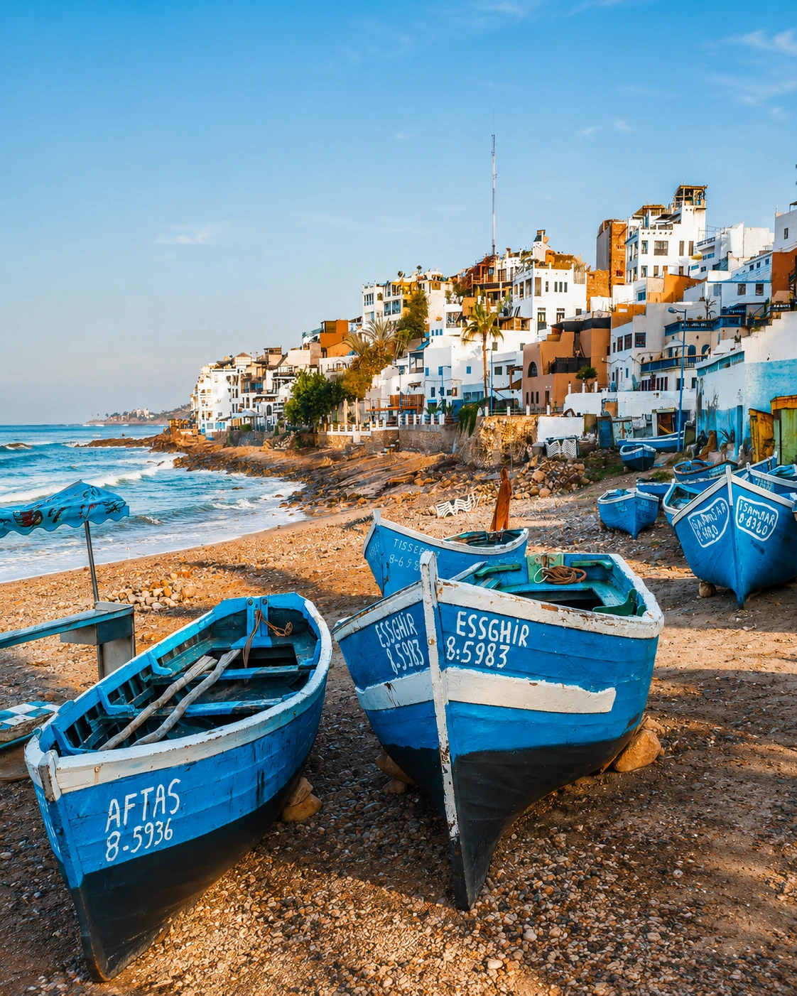
A laid-back surf village with sea views, fishing boats and Atlantic character.
Open place →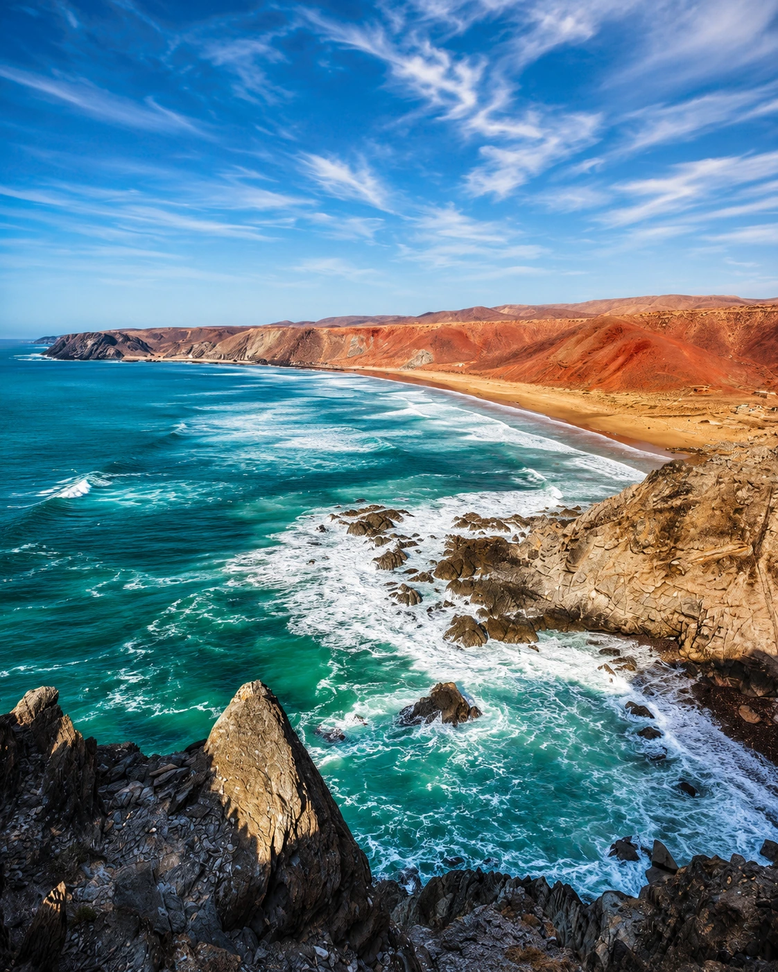
A wild southern coastal corridor shaped by river, ocean and bird-rich nature.
Open place →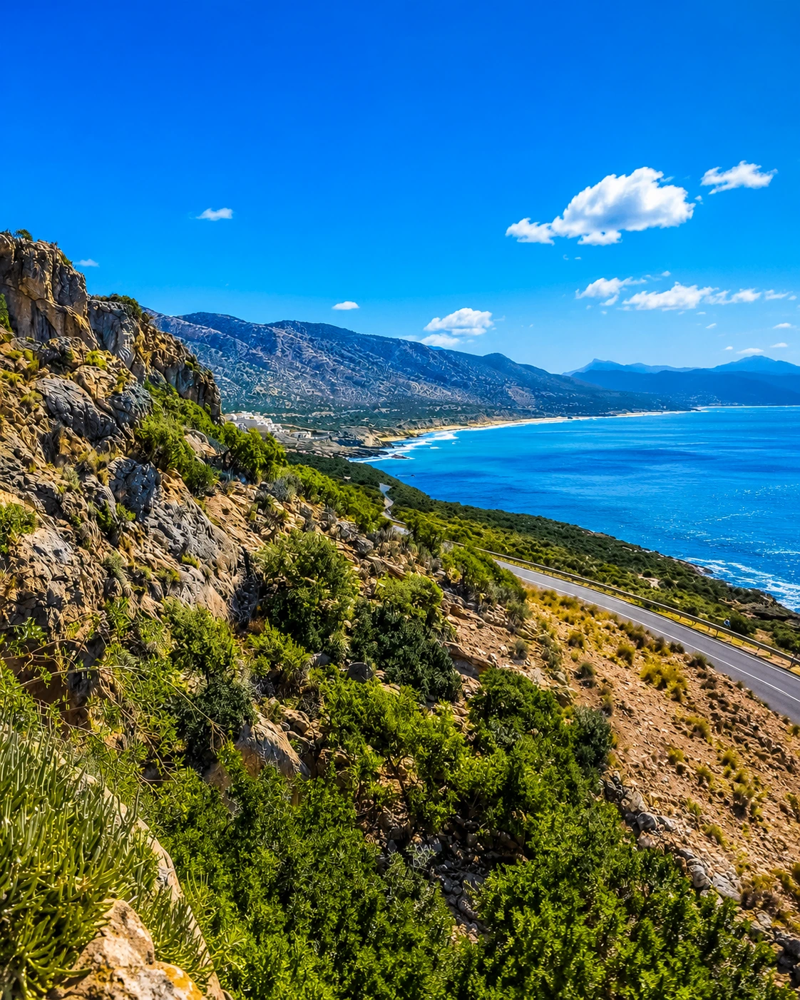
A sweeping headland road with elevated views north of Agadir.
Open place →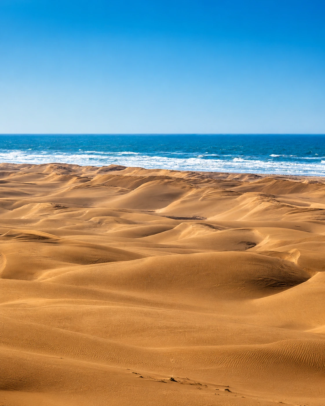
Vast dunes and one of Morocco’s most remote Atlantic beach landscapes.
Open place →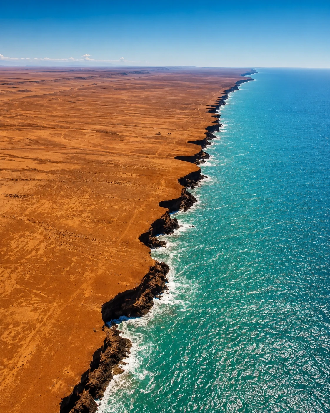
A long Saharan coastline where desert and Atlantic water meet.
Open place →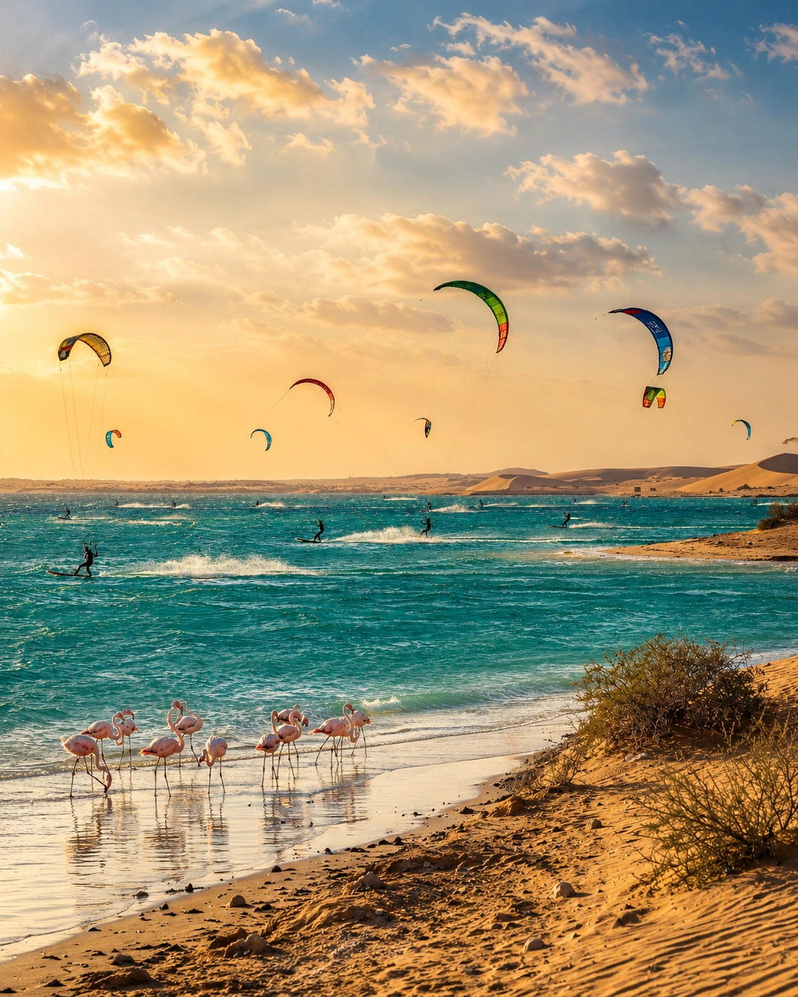
A signature desert-sea lagoon known for wind sports, birdlife and open horizons.
Open place →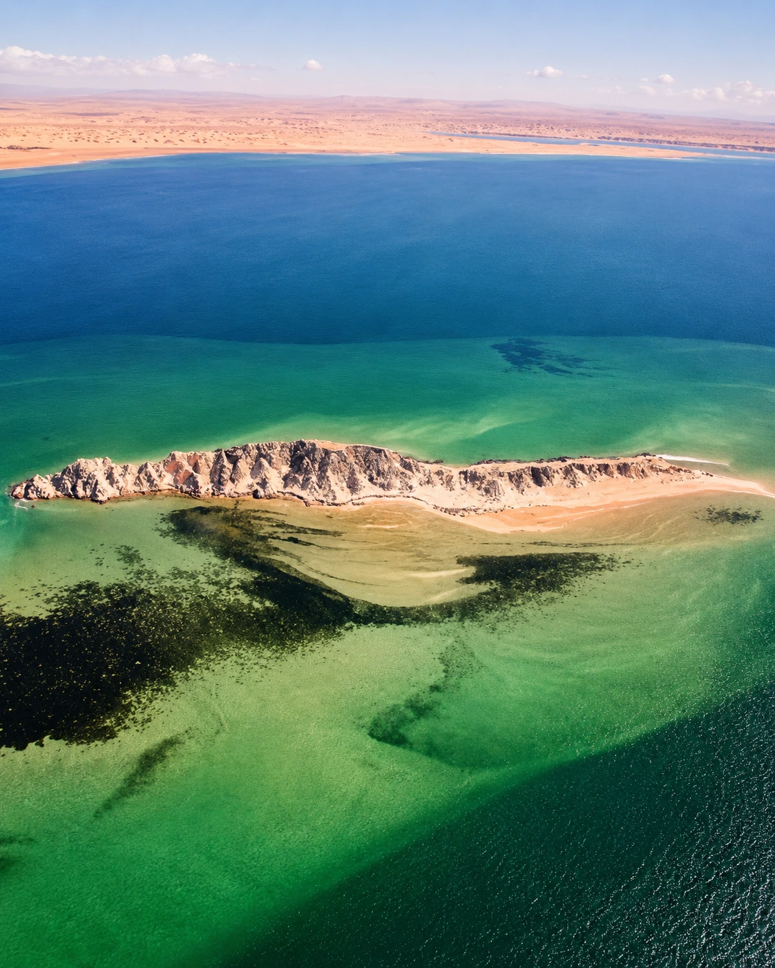
The iconic island silhouette that defines one of Dakhla’s most recognisable views.
Open place →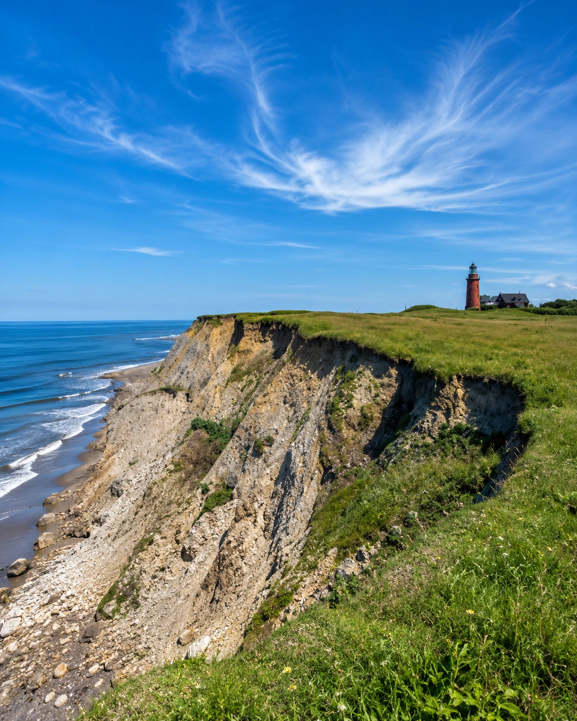
A bright sandbar-and-lagoon landscape, one of Dakhla’s signature natural scenes.
Open place →
A beautiful southern Dakhla beach with clear water and desert surroundings.
Open place →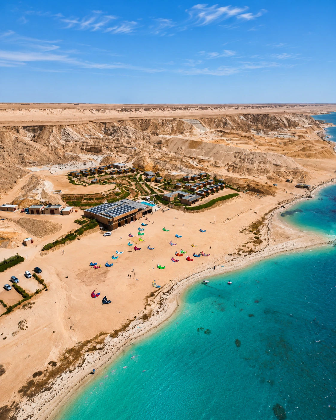
A cliffside lighthouse landscape with a strong Saharan Atlantic identity.
Open place →The Atlas world is about movement: valleys, villages, passes, waterfalls, reservoirs, gorges, caves and interior routes.
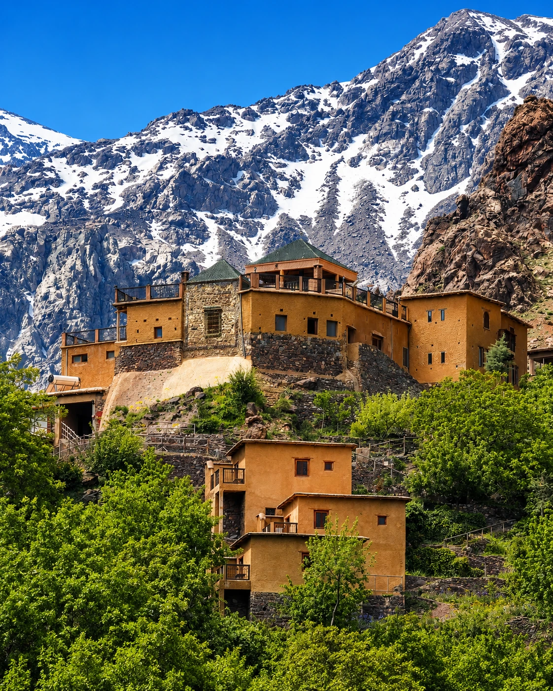
Highland routes, passes, valleys and Amazigh cultural landscapes.
Open place →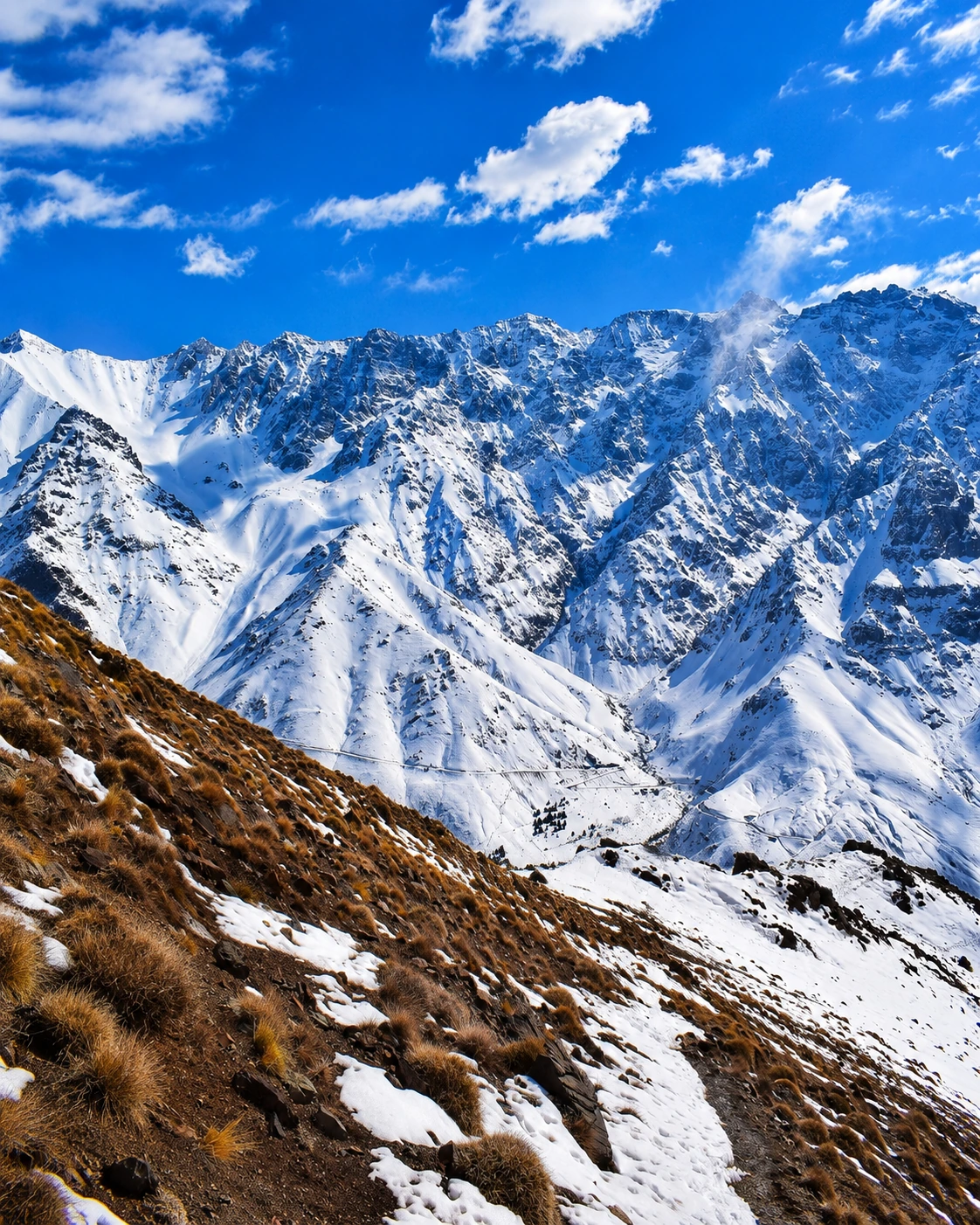
Morocco’s highest mountain area and major trekking gateway.
Open place →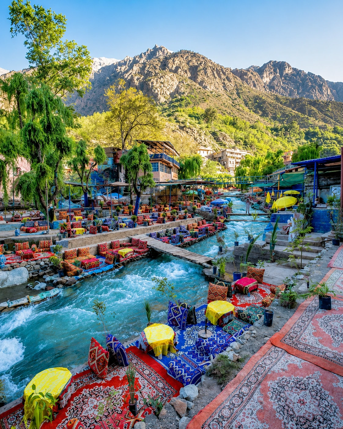
River valley, mountain villages and day-route landscape from Marrakech.
Open place →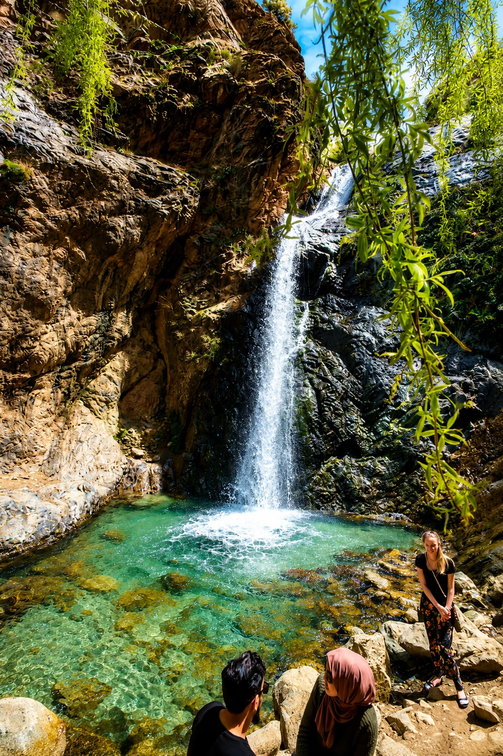
Waterfalls and mountain walking above the Ourika Valley.
Open place →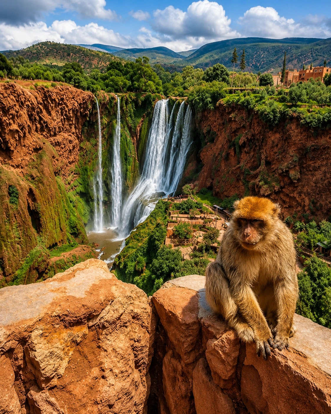
Major waterfall landscape in the Azilal / Middle Atlas area.
Open place →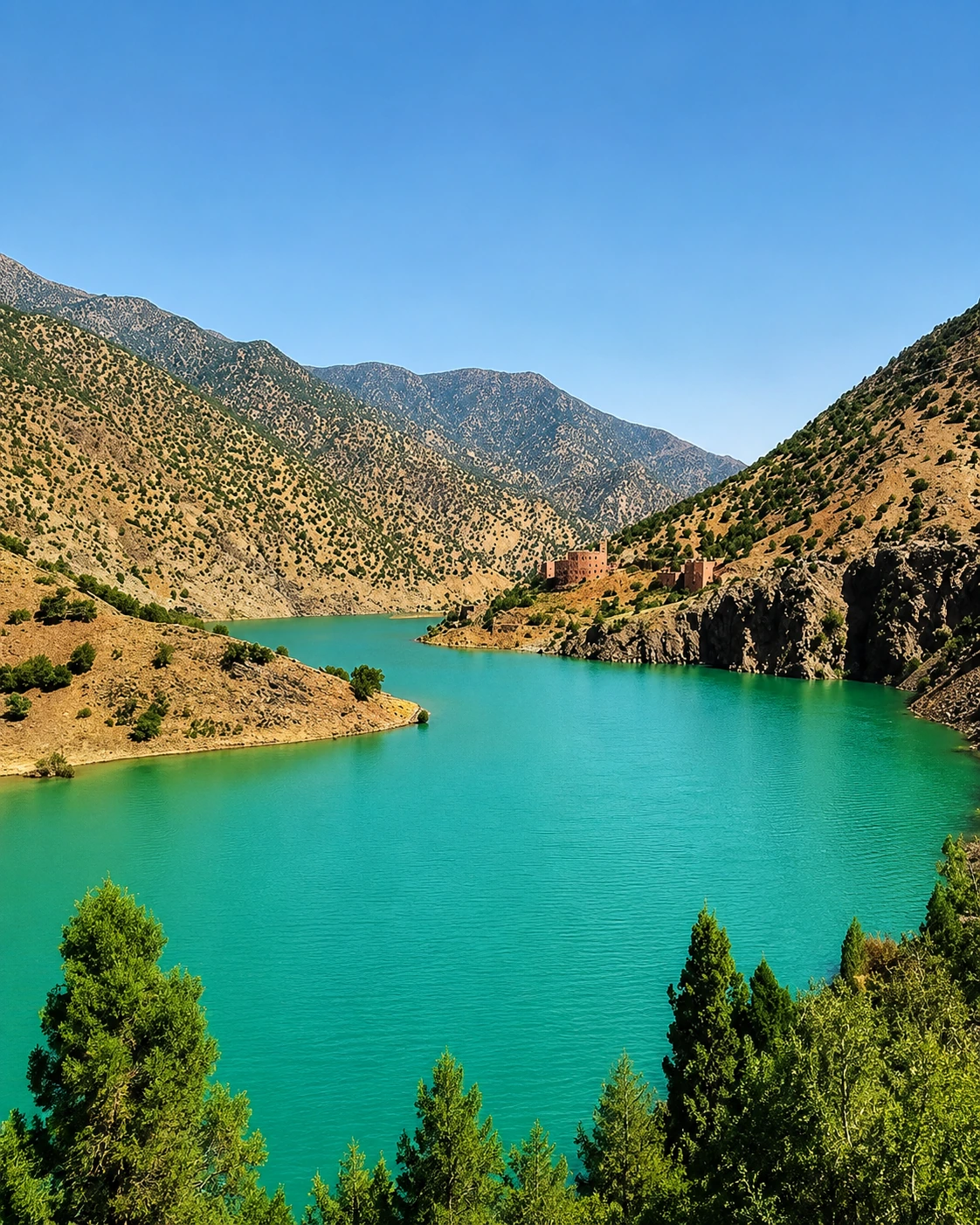
Red earth, reservoir views and mountain villages southwest of Marrakech.
Open place →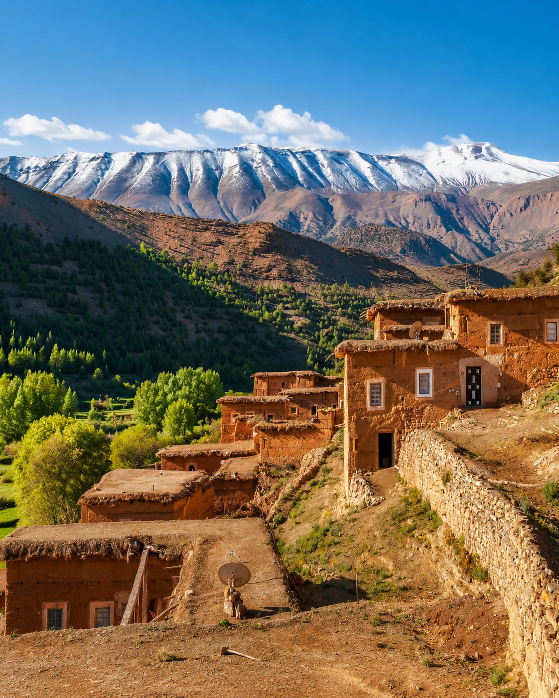
Highland valley known for villages, fields and M’Goun approaches.
Open place →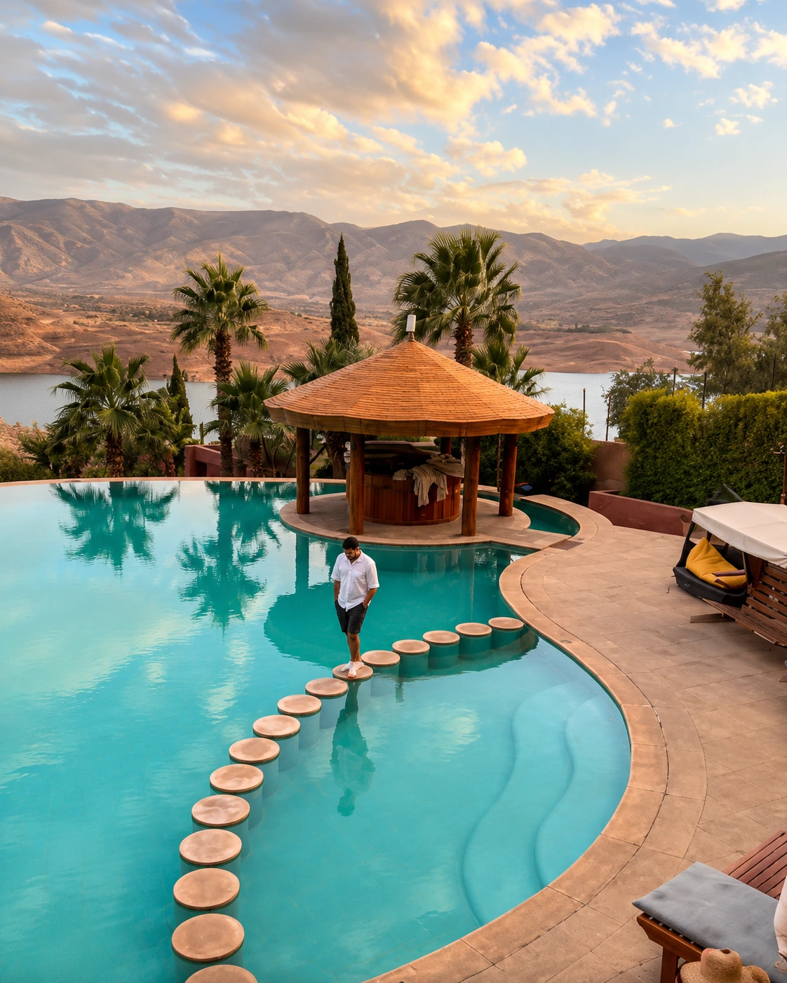
Blue reservoir, cliffs and Beni Mellal–Azilal mountain landscape.
Open place →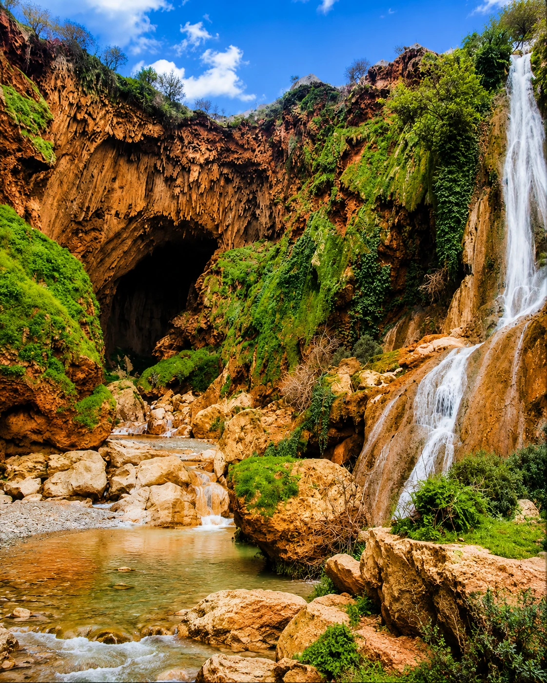
Natural arch and gorge landscape near Demnate.
Open place →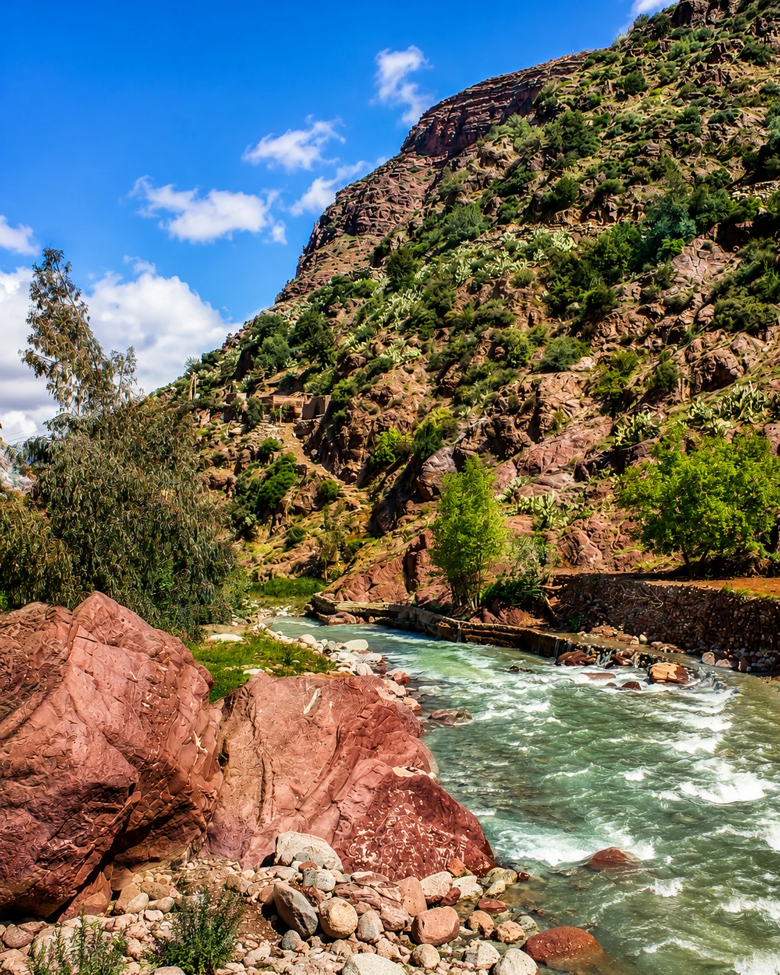
Road of kasbahs, dramatic rock forms and southern Atlas scenery.
Open place →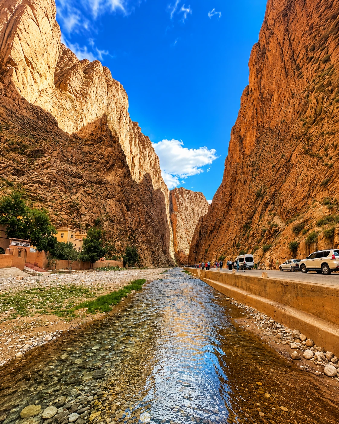
High limestone walls, oasis palms and Tinghir valley routes.
Open place →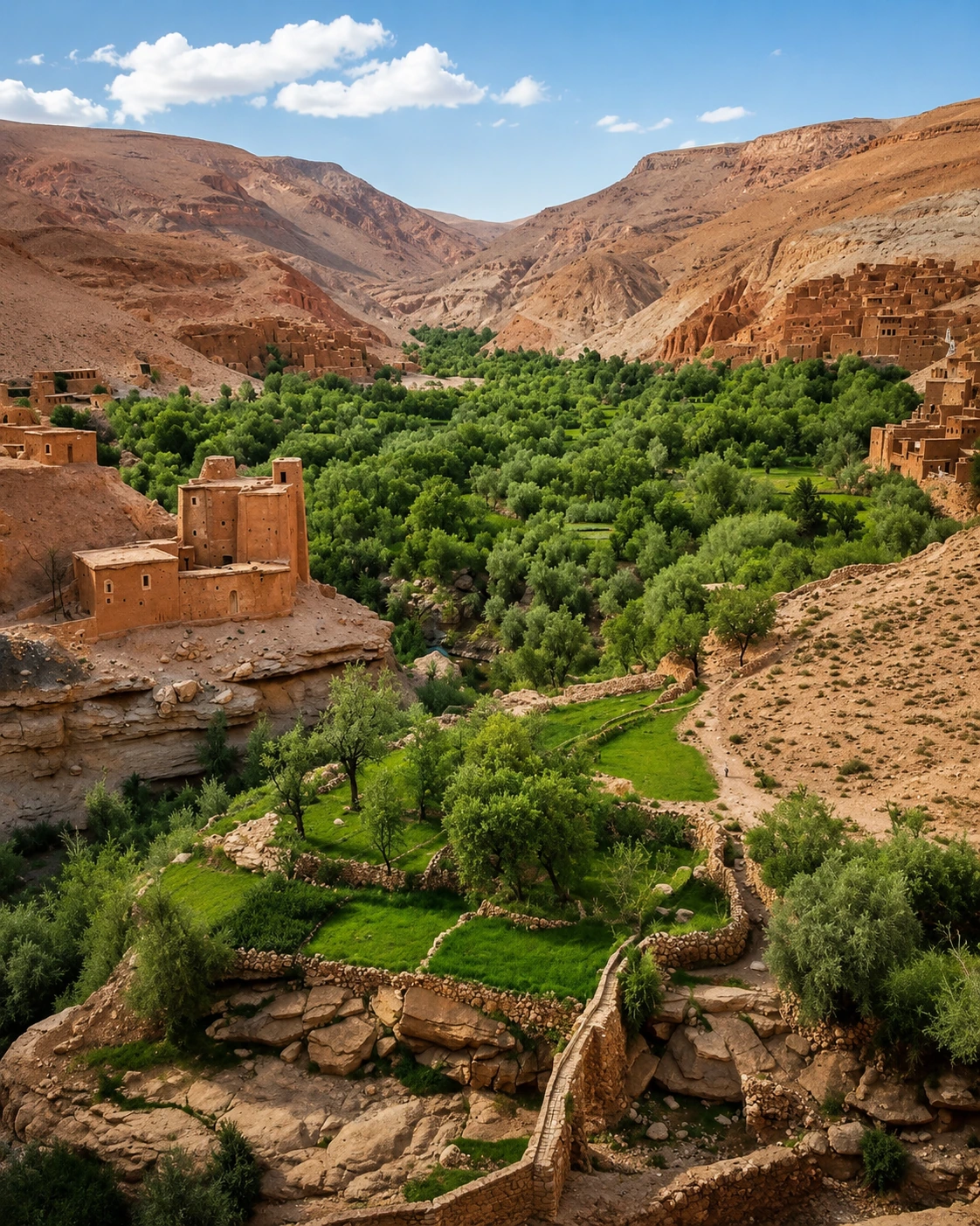
Palm valley and gateway route between Midelt, Errachidia and Tafilalet.
Open place →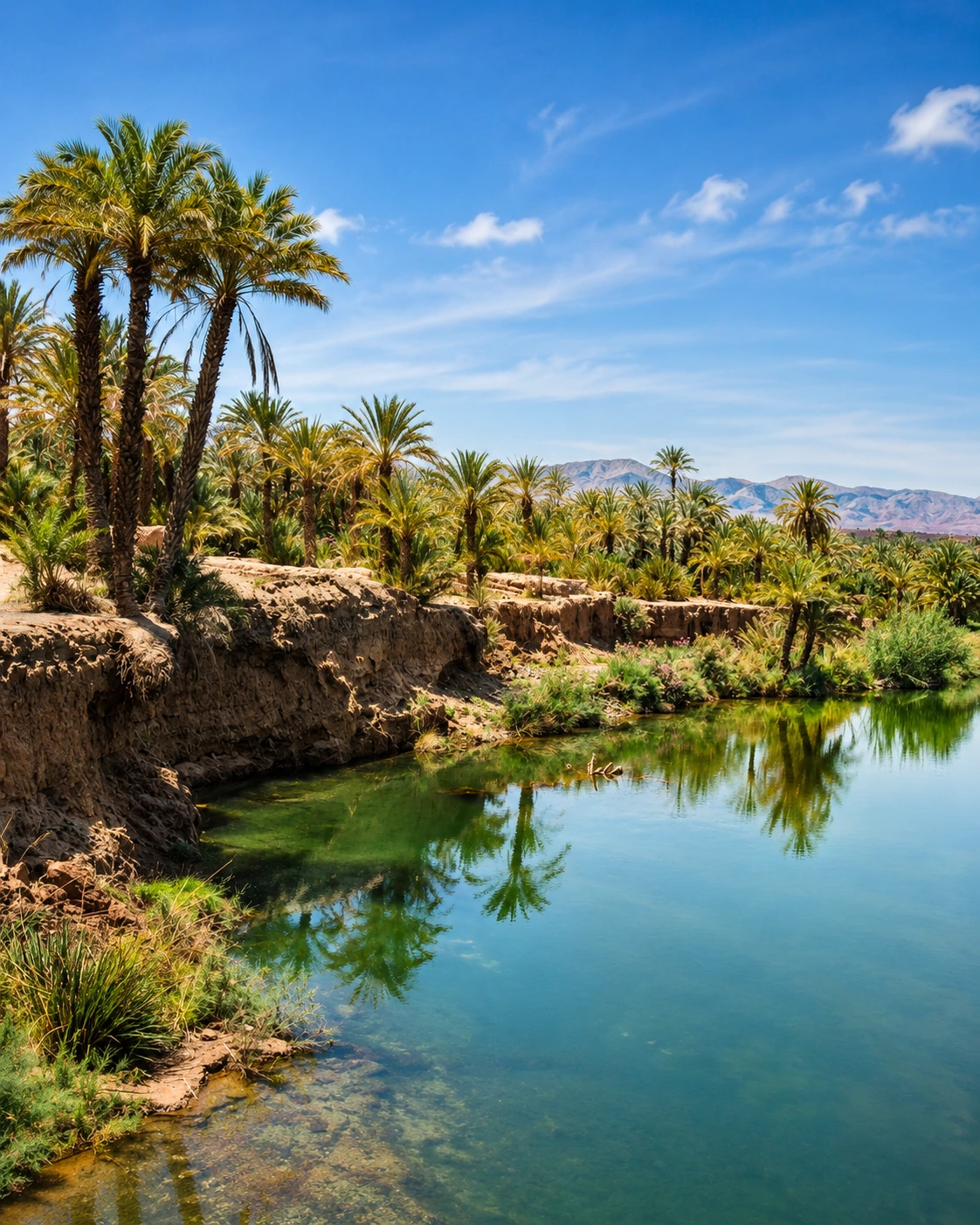
Long palm-oasis corridor, kasbahs and caravan-route memory.
Open place →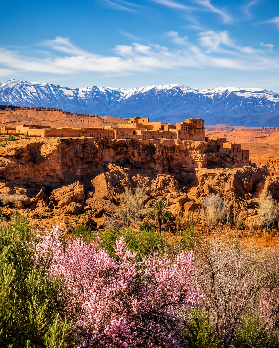
Rose landscapes, spring festival culture and southern valley identity.
Open place →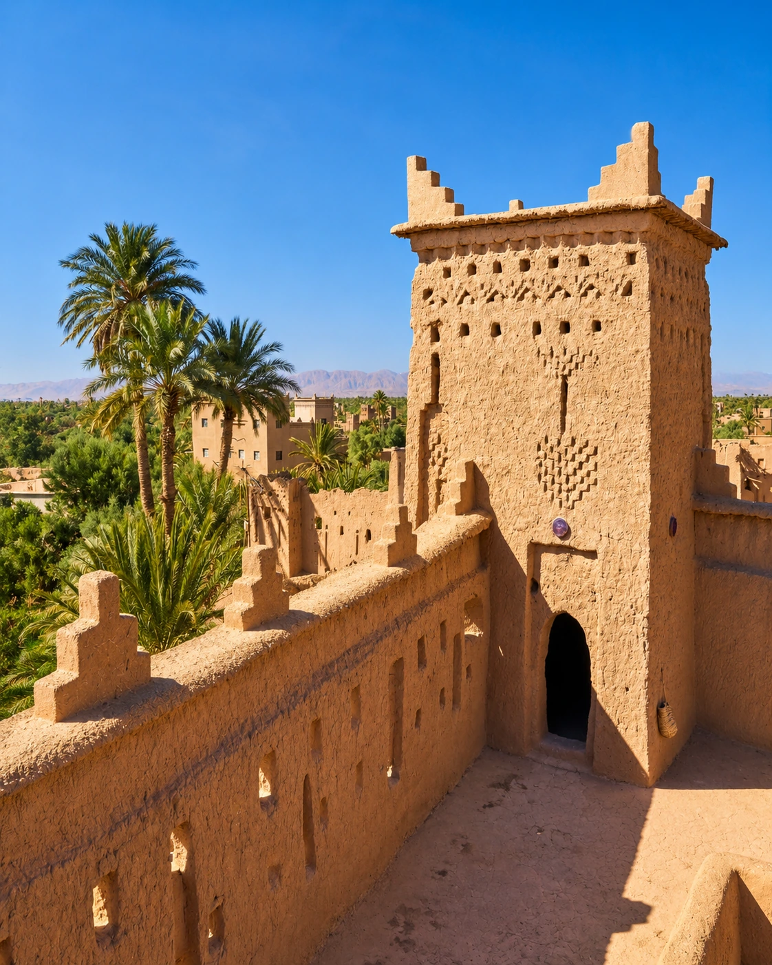
Kasbahs, palms and oasis architecture near Ouarzazate.
Open place →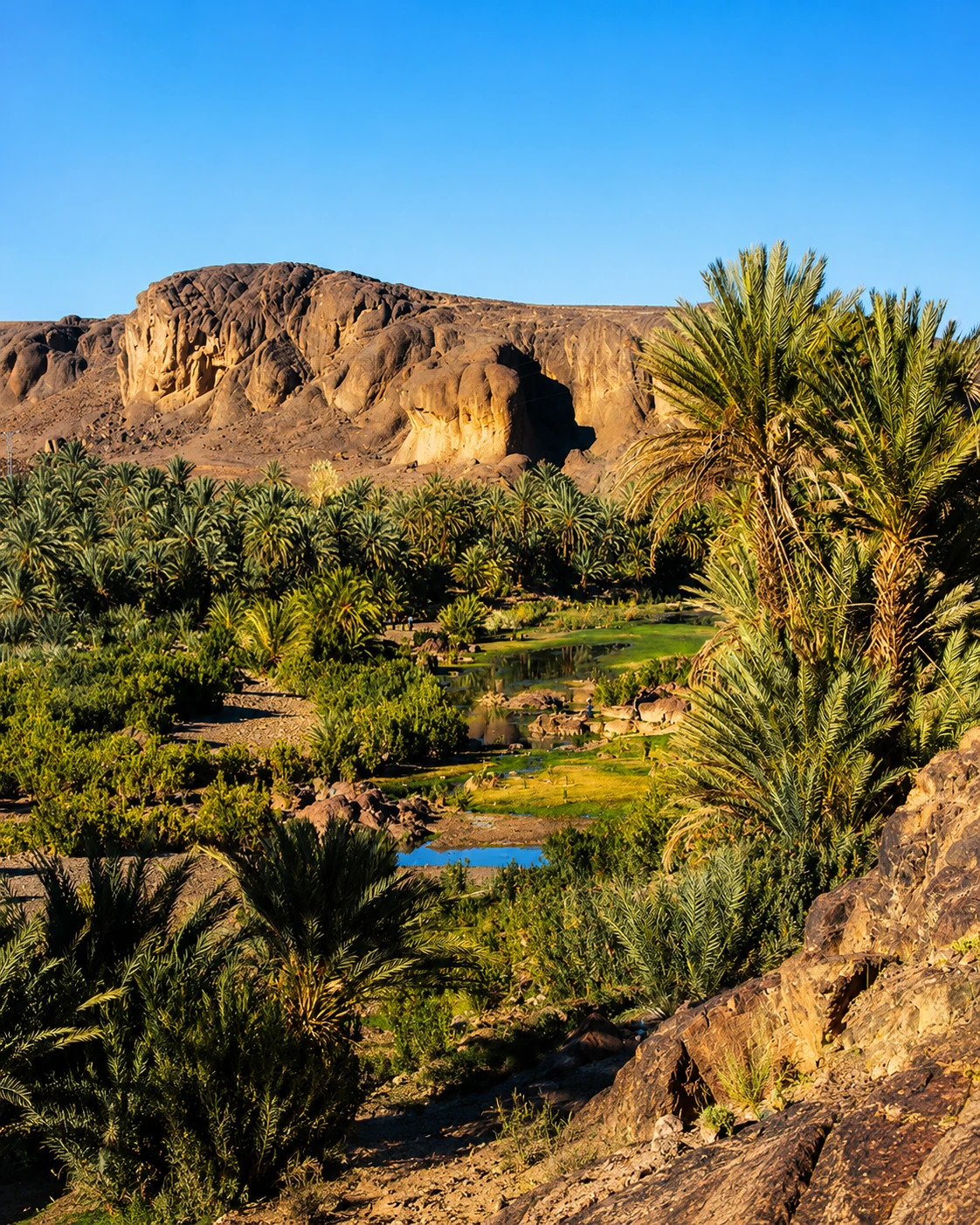
Quiet palm oasis close to Ouarzazate and volcanic-looking hills.
Open place →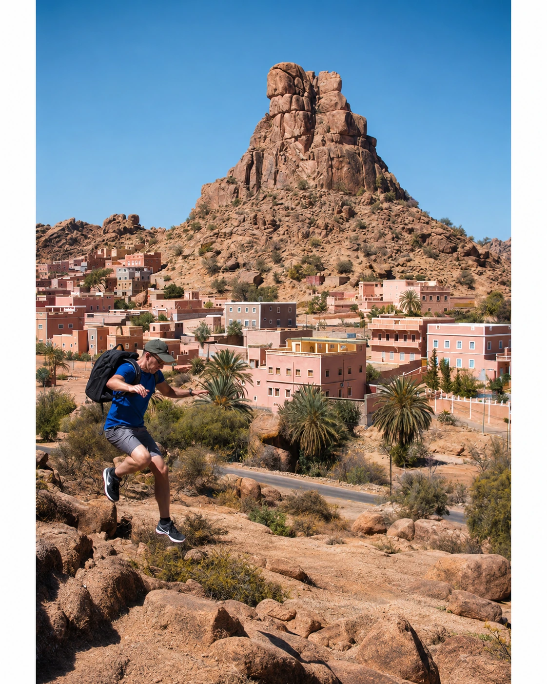
Granite boulders, Ammeln villages and Anti-Atlas identity.
Open place →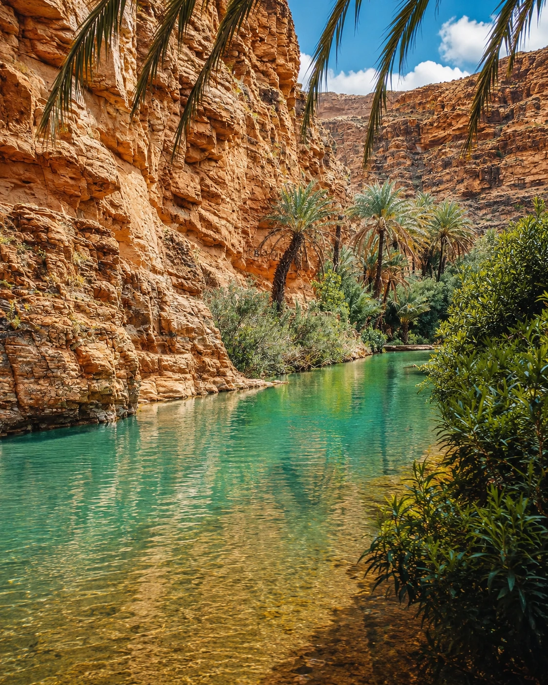
Palm-filled gorge route near Tafraout.
Open place →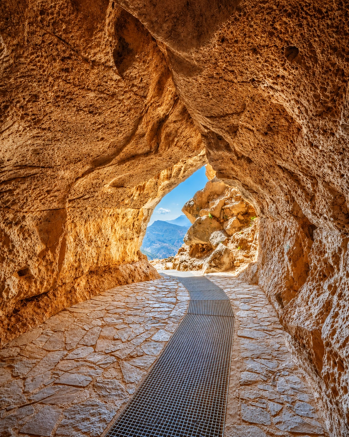
Large cave and underground-water landscape in the Agadir / High Atlas region.
Open place →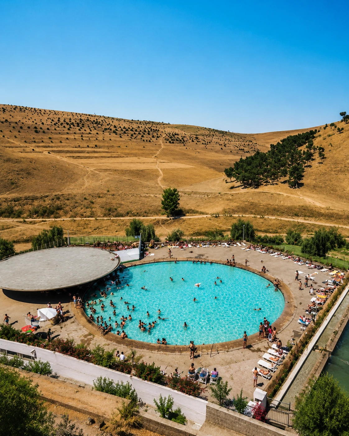
Spring landscape and modernist resort memory near Fès.
Open place →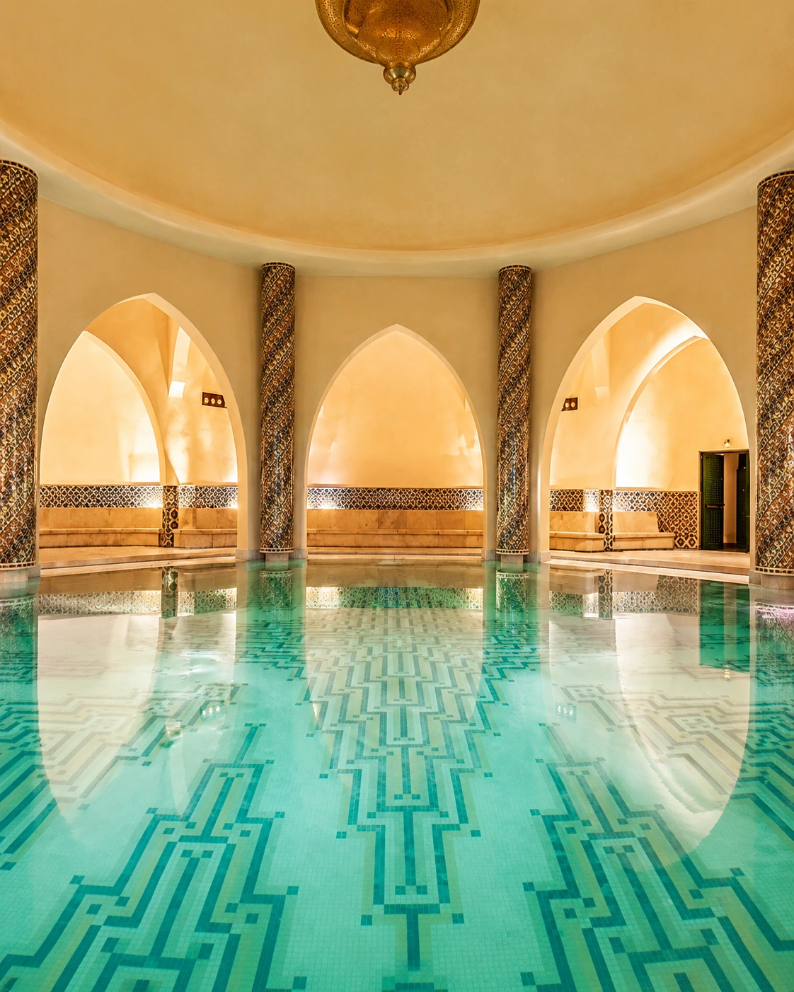
Thermal spring townscape and wellness route near Fès.
Open place →A warm southern block like Heritage: one lead image, six supporting places, then a direct drawer for the remaining Sahara and oasis library.
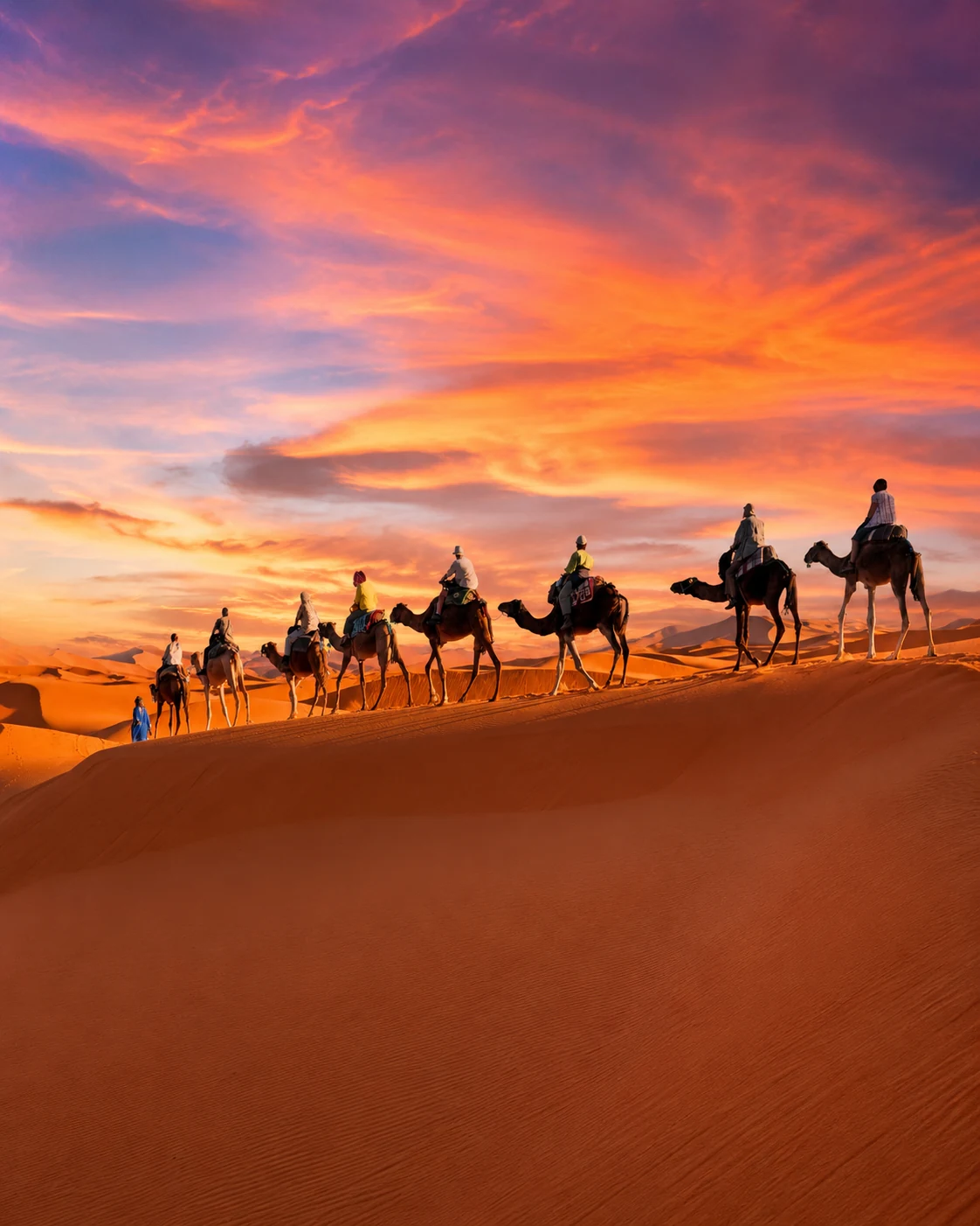
Dunes, desert routes, camp culture and southern horizons.
Open place →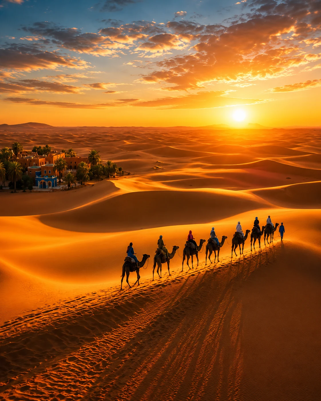
Merzouga-area dune system and one of Morocco’s best-known Sahara landscapes.
Open place →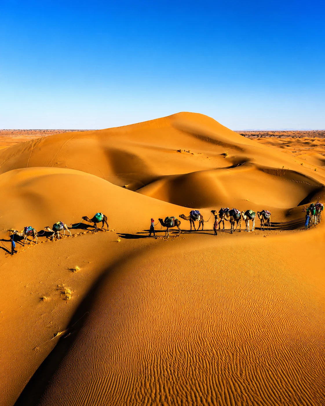
Wilder dune landscape reached through M’Hamid and desert tracks.
Open place →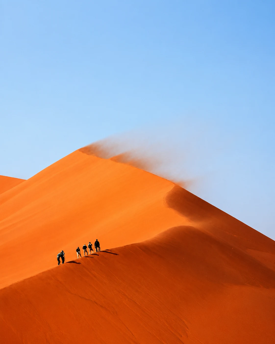
Desert-edge dunes and nomadic-route atmosphere beyond the Drâa Valley.
Open place →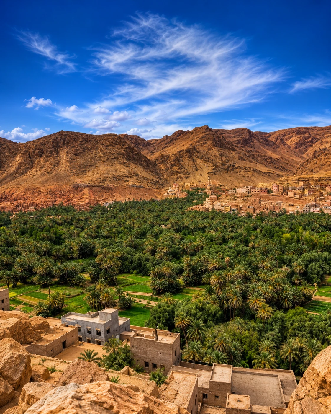
Date palms, ksour, dynastic memory and southeastern oasis routes.
Open place →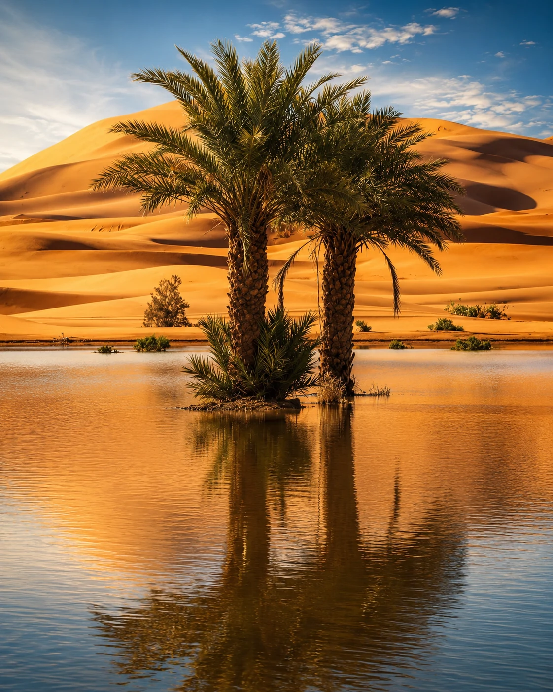
Seasonal desert lake and dune-edge reflections near Erg Chebbi.
Open place →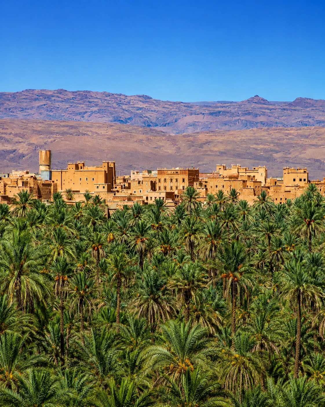
Drâa-side palm landscape and gateway to southern routes.
Open place →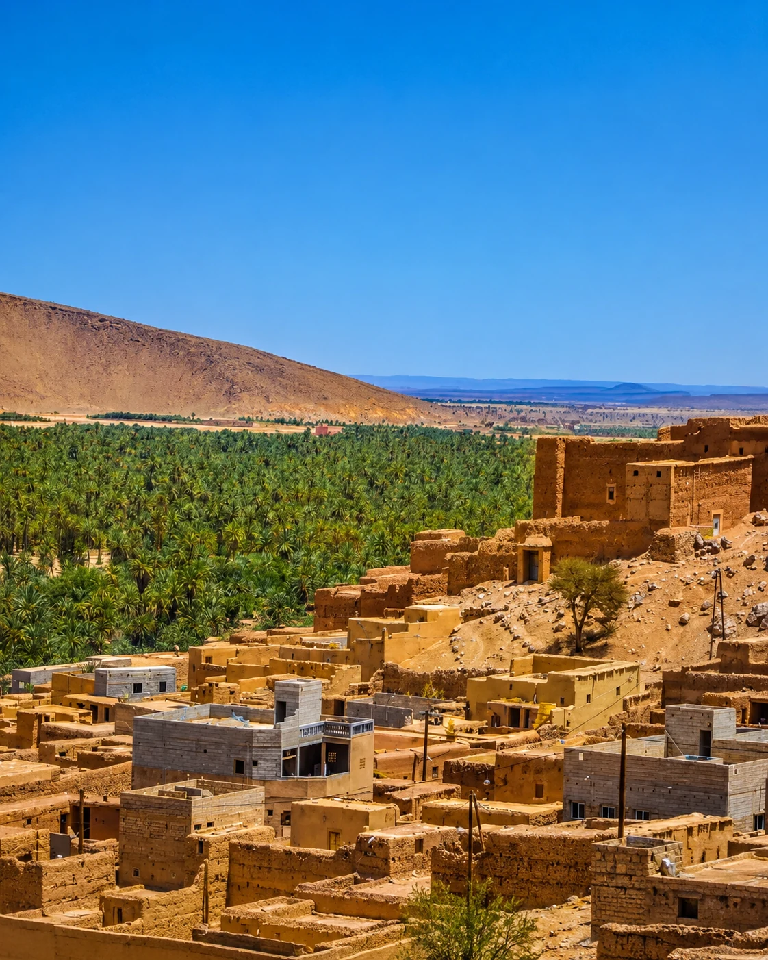
Anti-Atlas / Saharan oasis and rock-art route atmosphere.
Open place →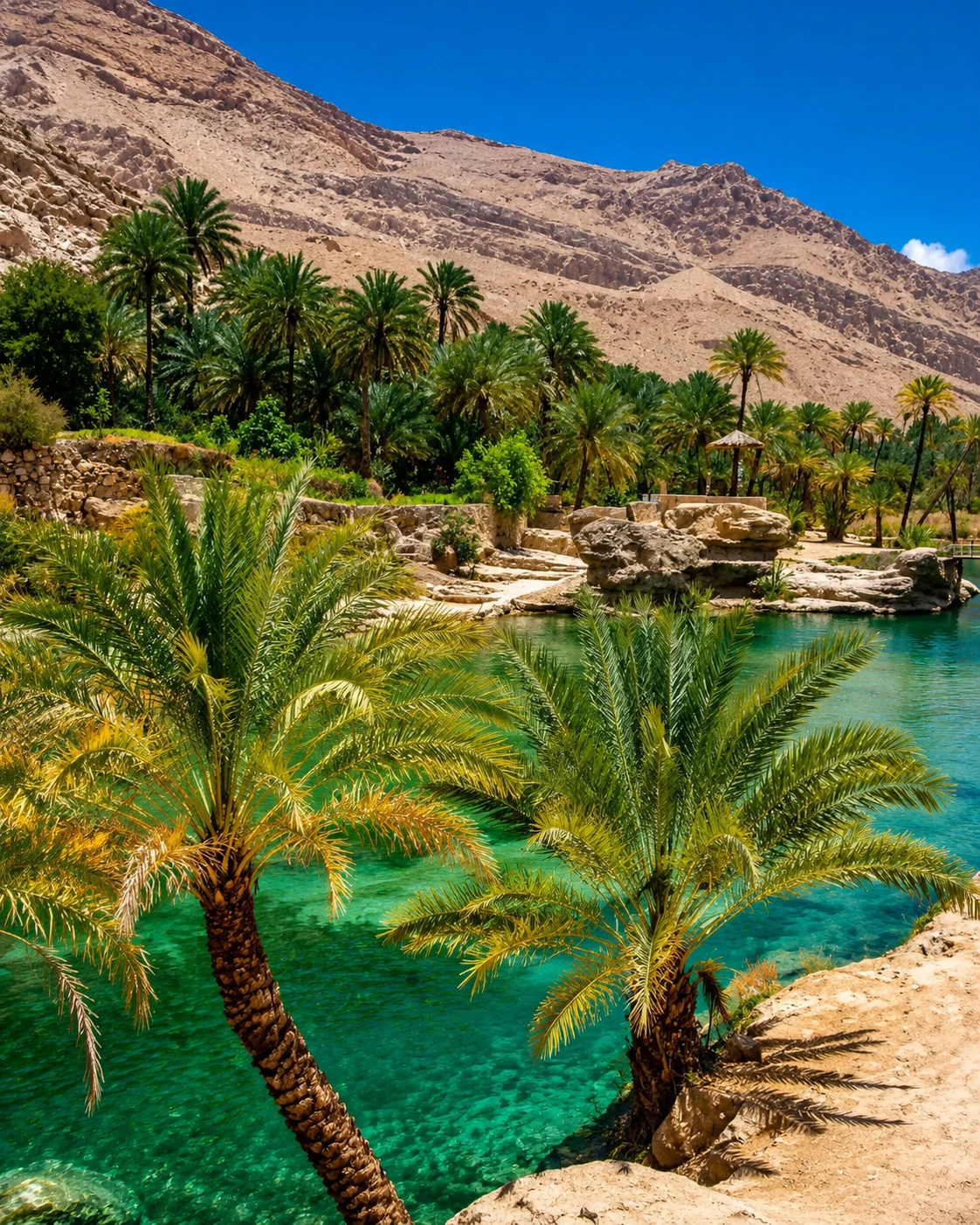
Southern oases, ksour and desert-approach landscapes.
Explore oasis region →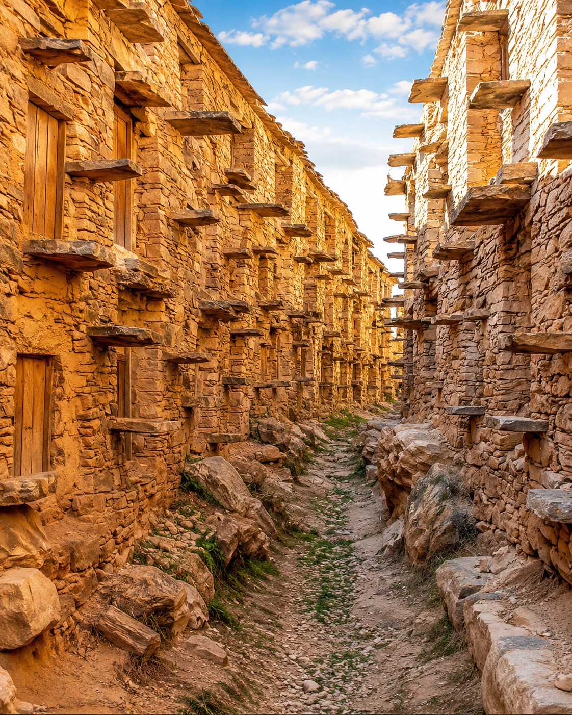
Fortified agadir granaries and canyon village landscape in the Anti-Atlas.
Open place →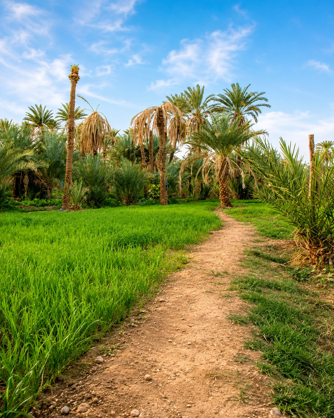
Saharan-oasis townscape and spiritual route in the south.
Open place →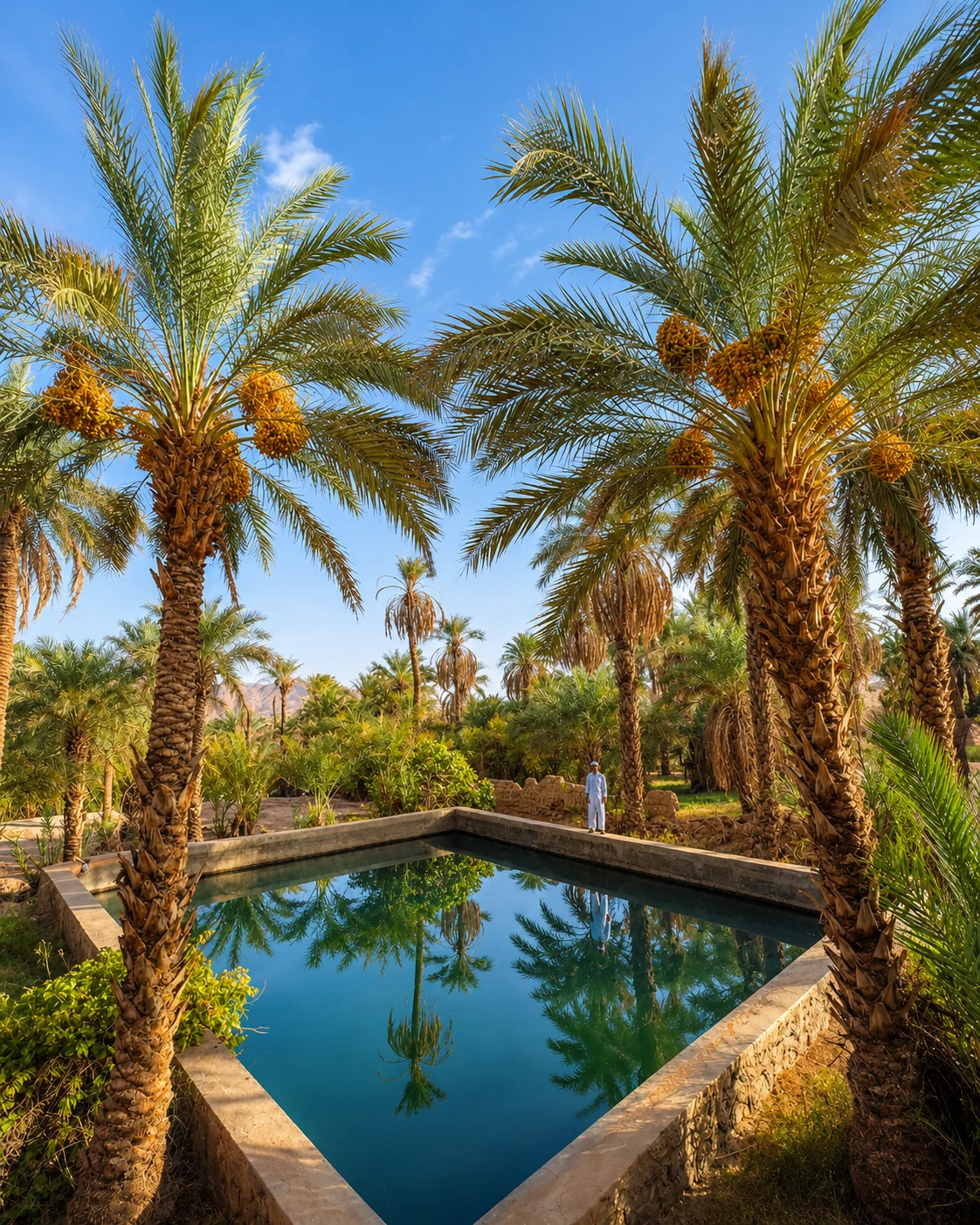
Palm groves, ksour and borderland oasis architecture in the far east.
Open place →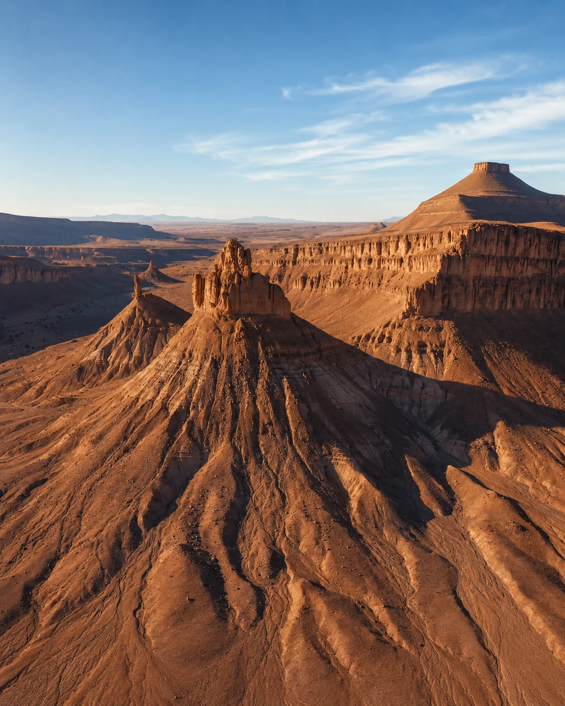
Dry lakebed, desert track and Erg Chigaga route landscape.
Open place →Every place has its own rhythm, memory, material language and relationship to the landscape around it.
Read more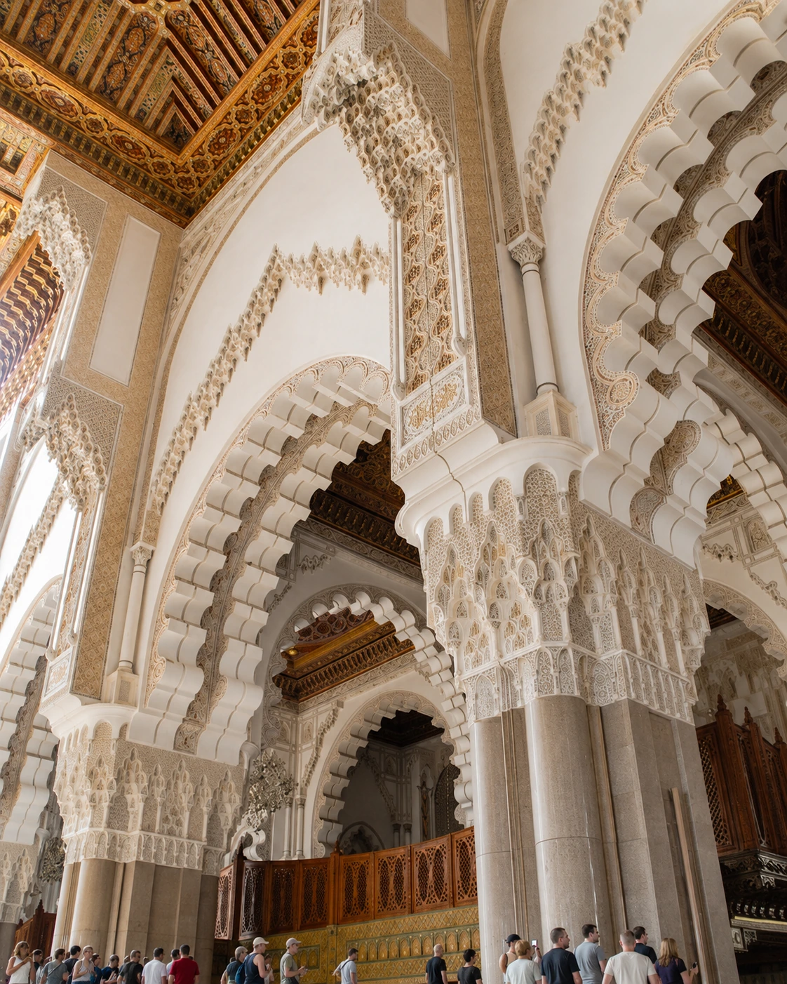
Doors, arches, carved wood, courtyards, gates and market textures give places their deeper voice.
Read more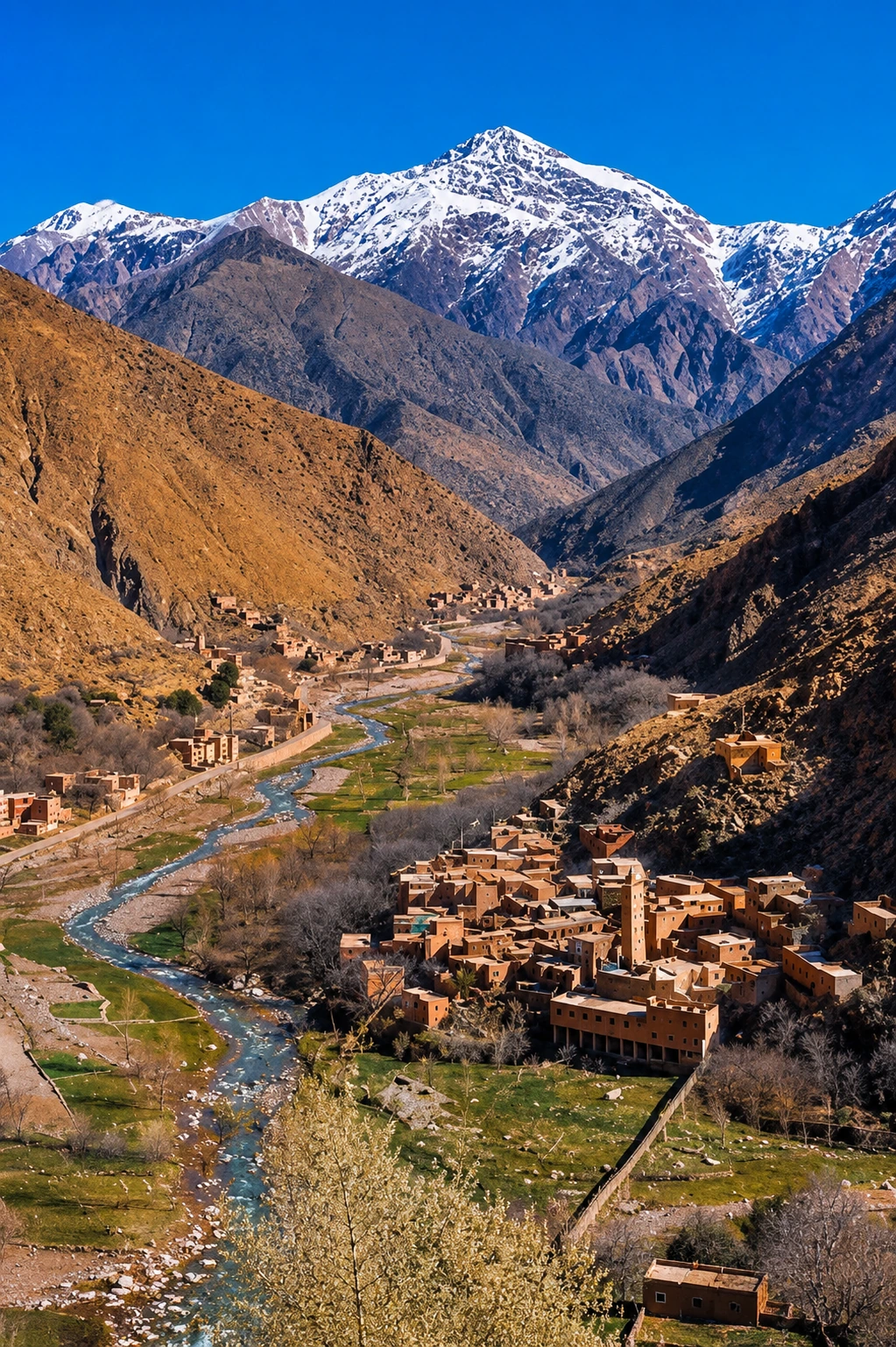
A place often opens into a valley, lagoon, mountain pass, coast road, oasis route or city chapter.
Read more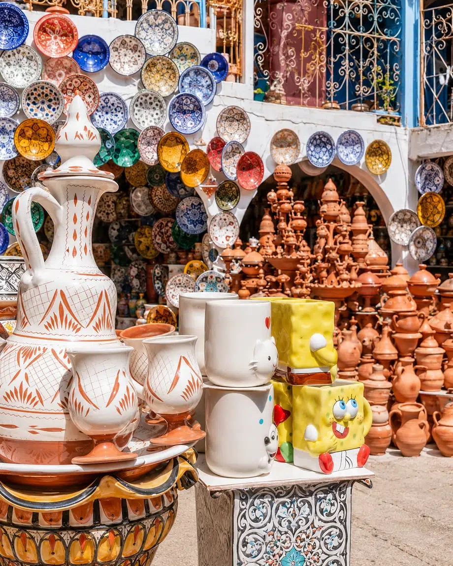
Food, craft, markets, prayer, gathering, hospitality and daily use complete the story behind a place.
Read more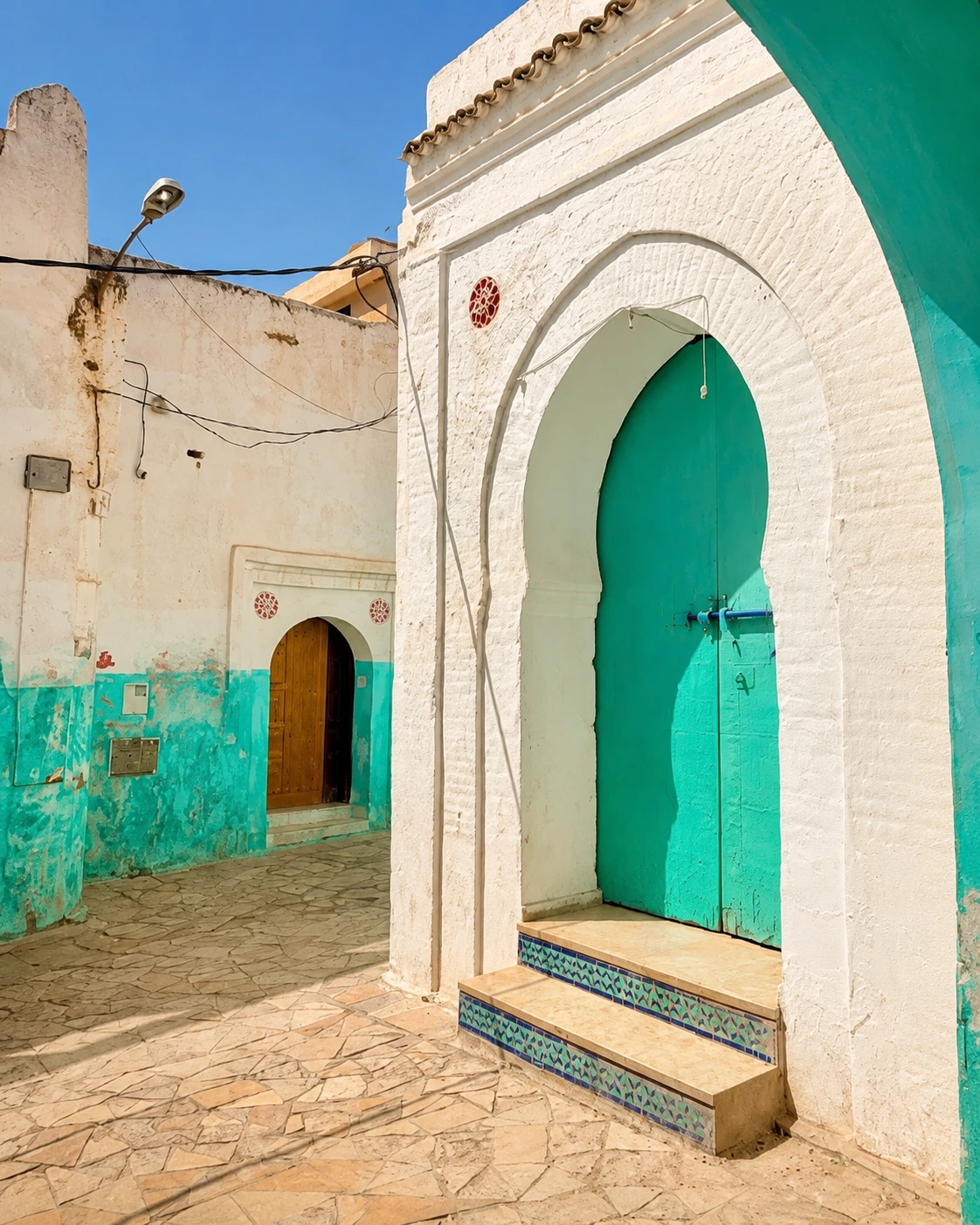
Visit connects naturally to city chapters, themes, route ideas, stories and premium visual guides.
Read moreContinue through Morocco’s cities, regions, stories and cultural worlds.
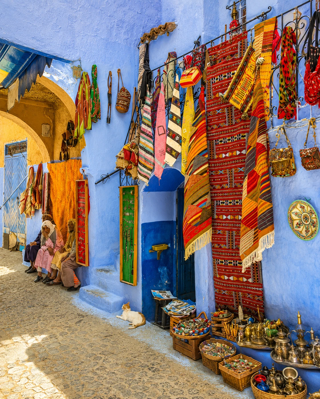
Open Morocco through cities and towns.
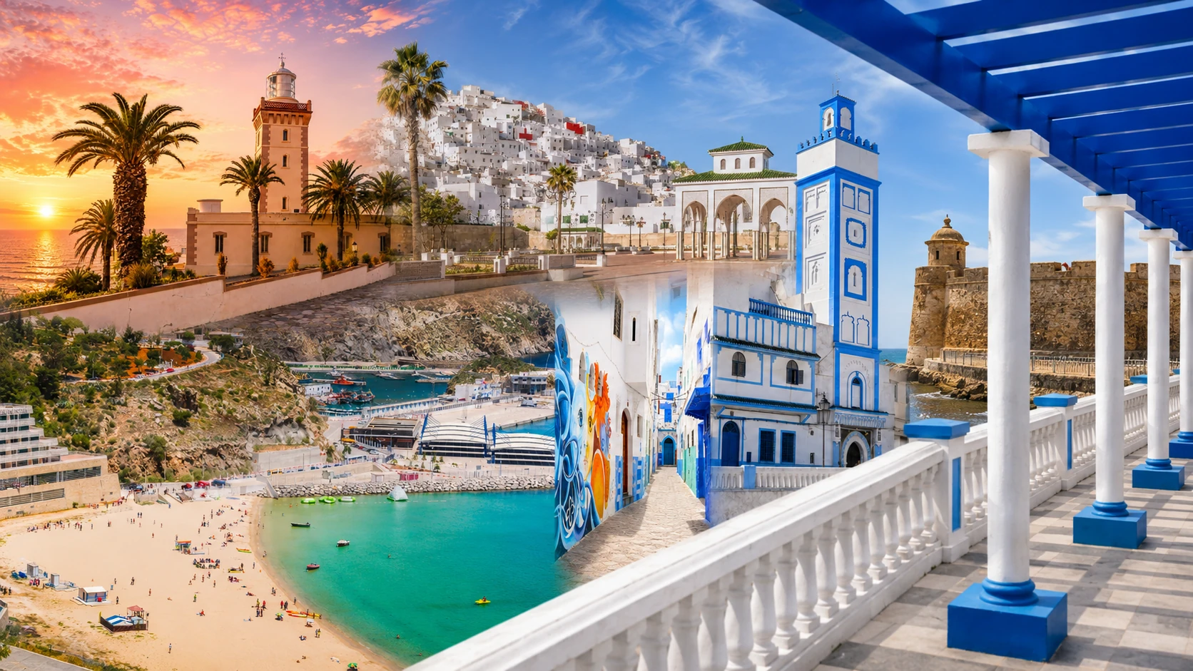
Move into larger Moroccan regions.
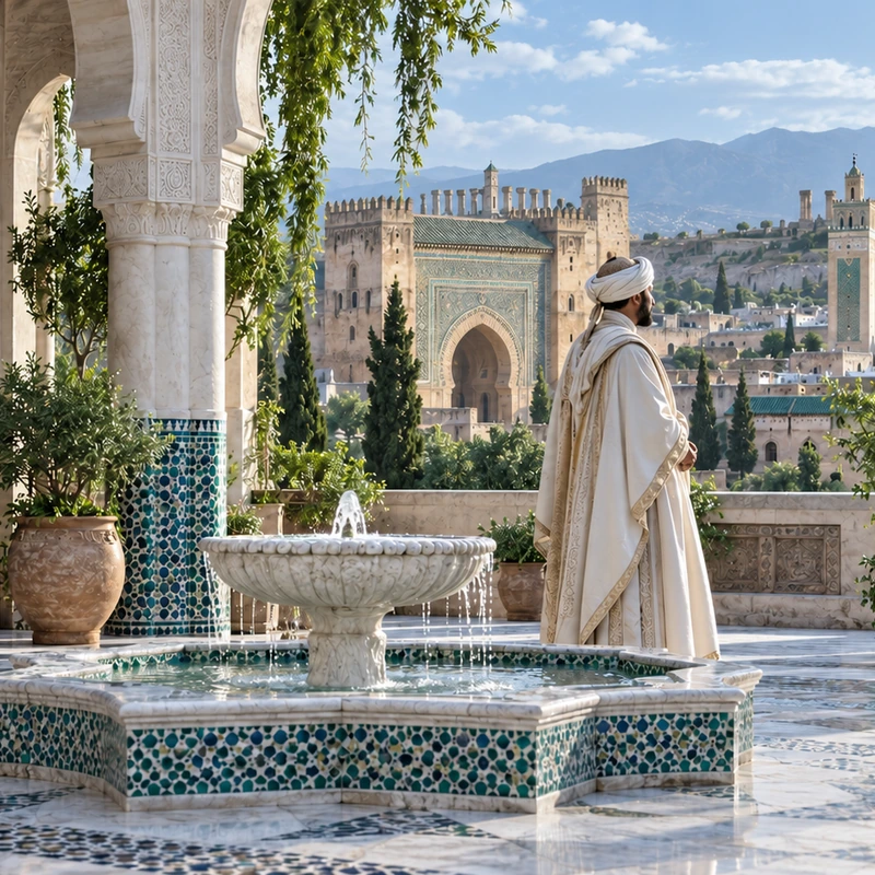
Give the places you visit their wider history: cities, dynasties, routes and living memory.
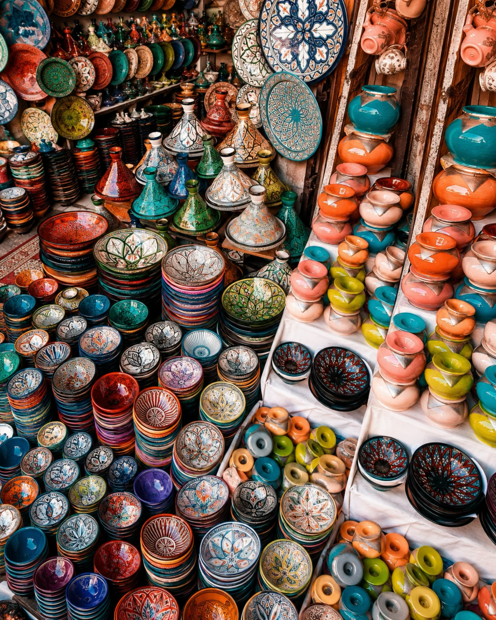
Browse culture and visual themes.
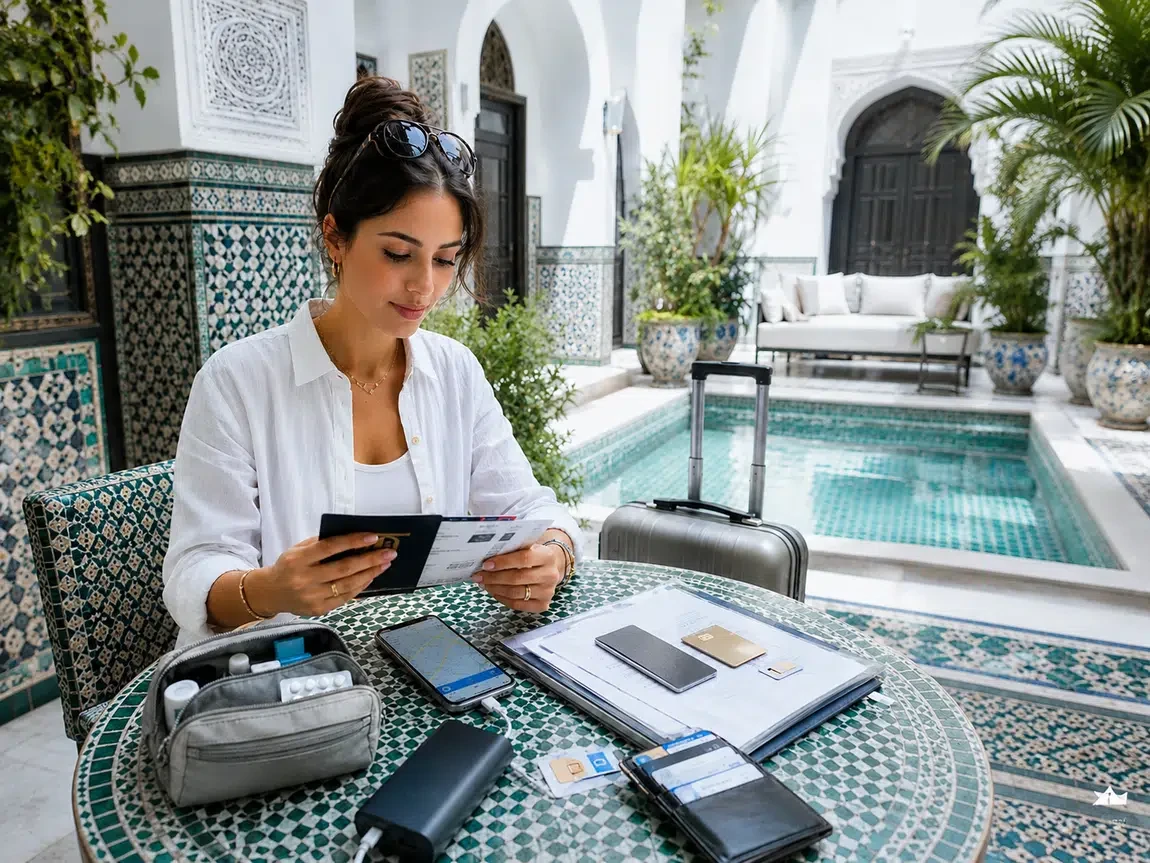
Turn discovery into a thoughtful plan.
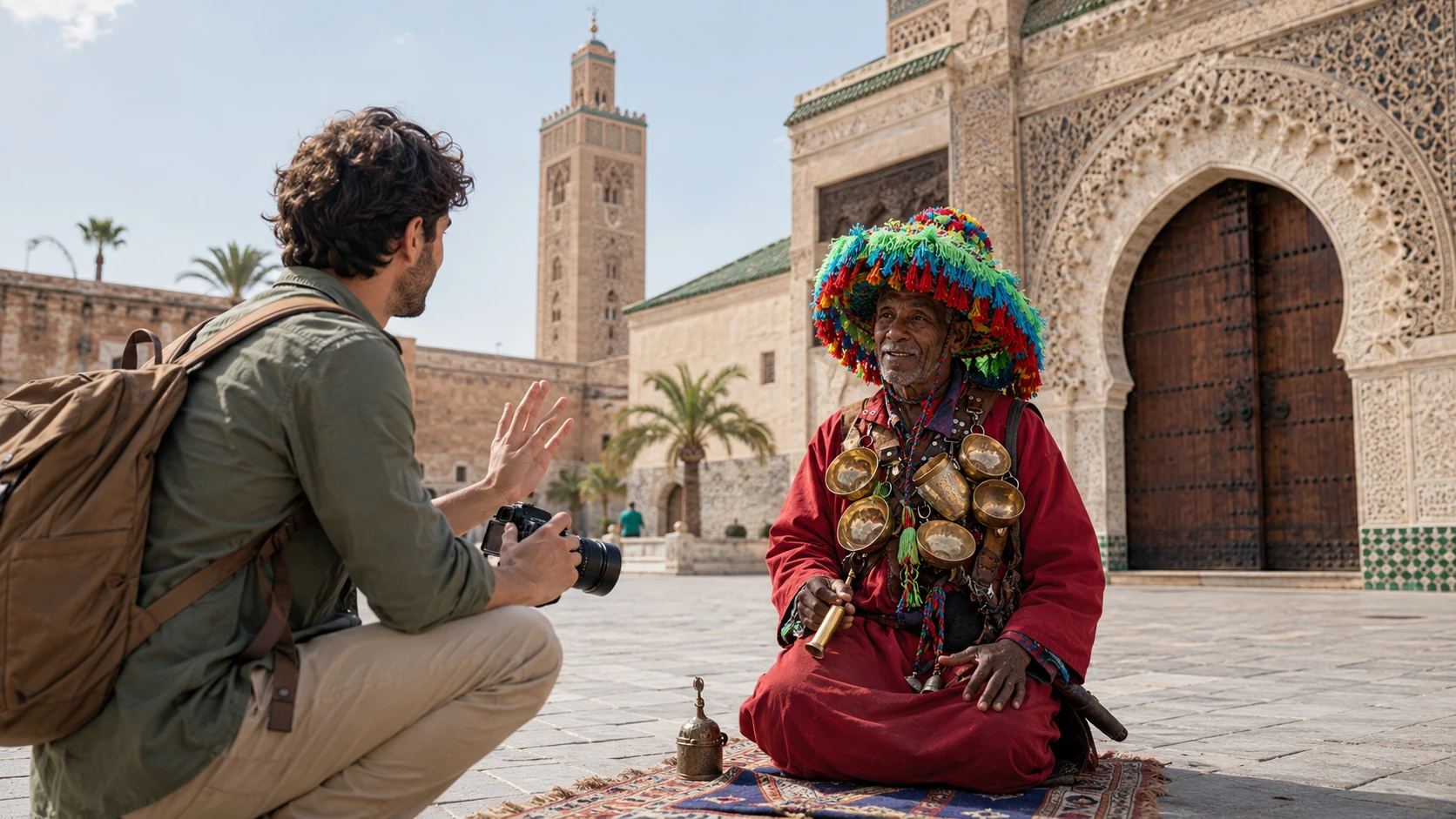
Continue through editorial stories.
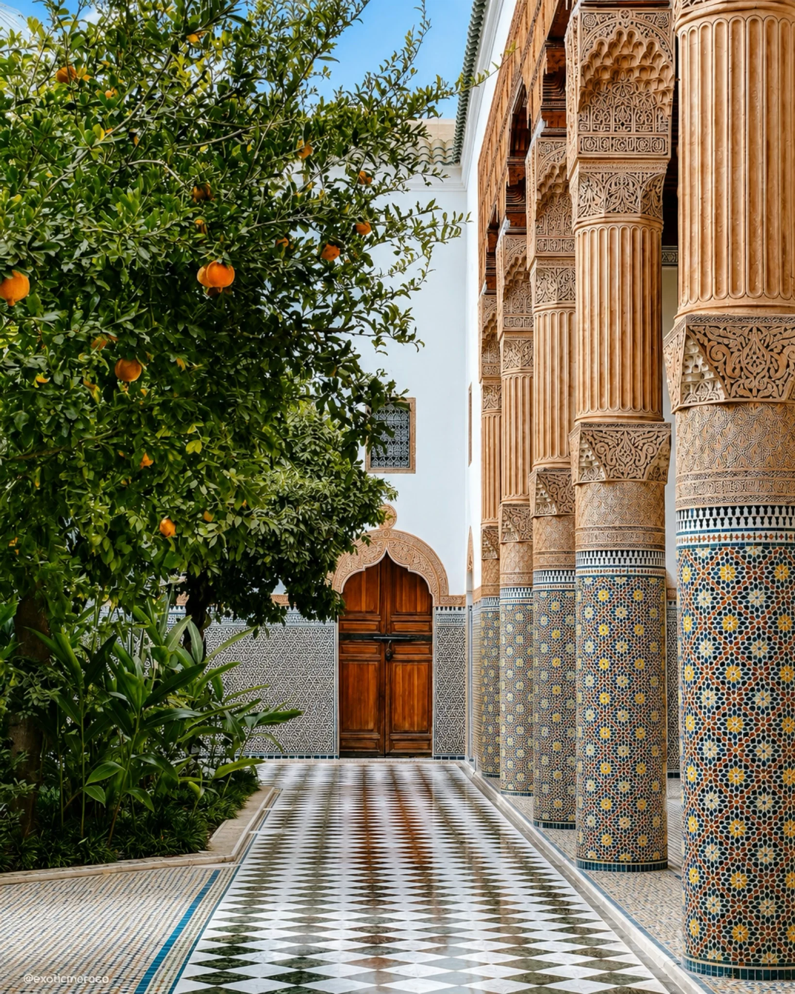
Browse the guide collection.