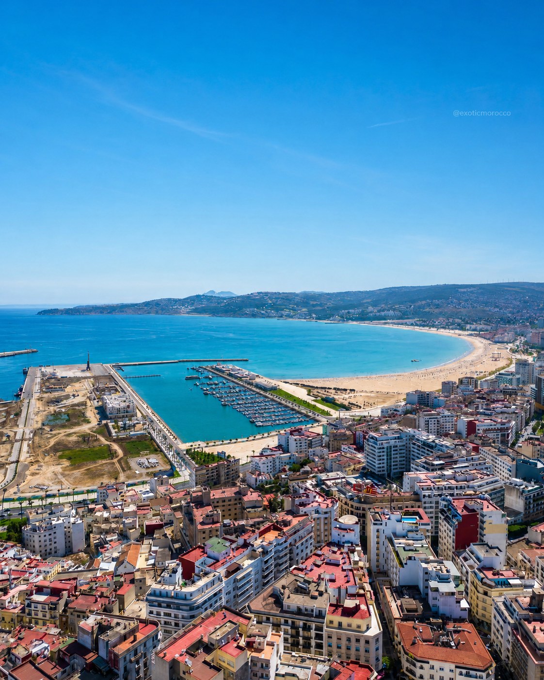
Tangier
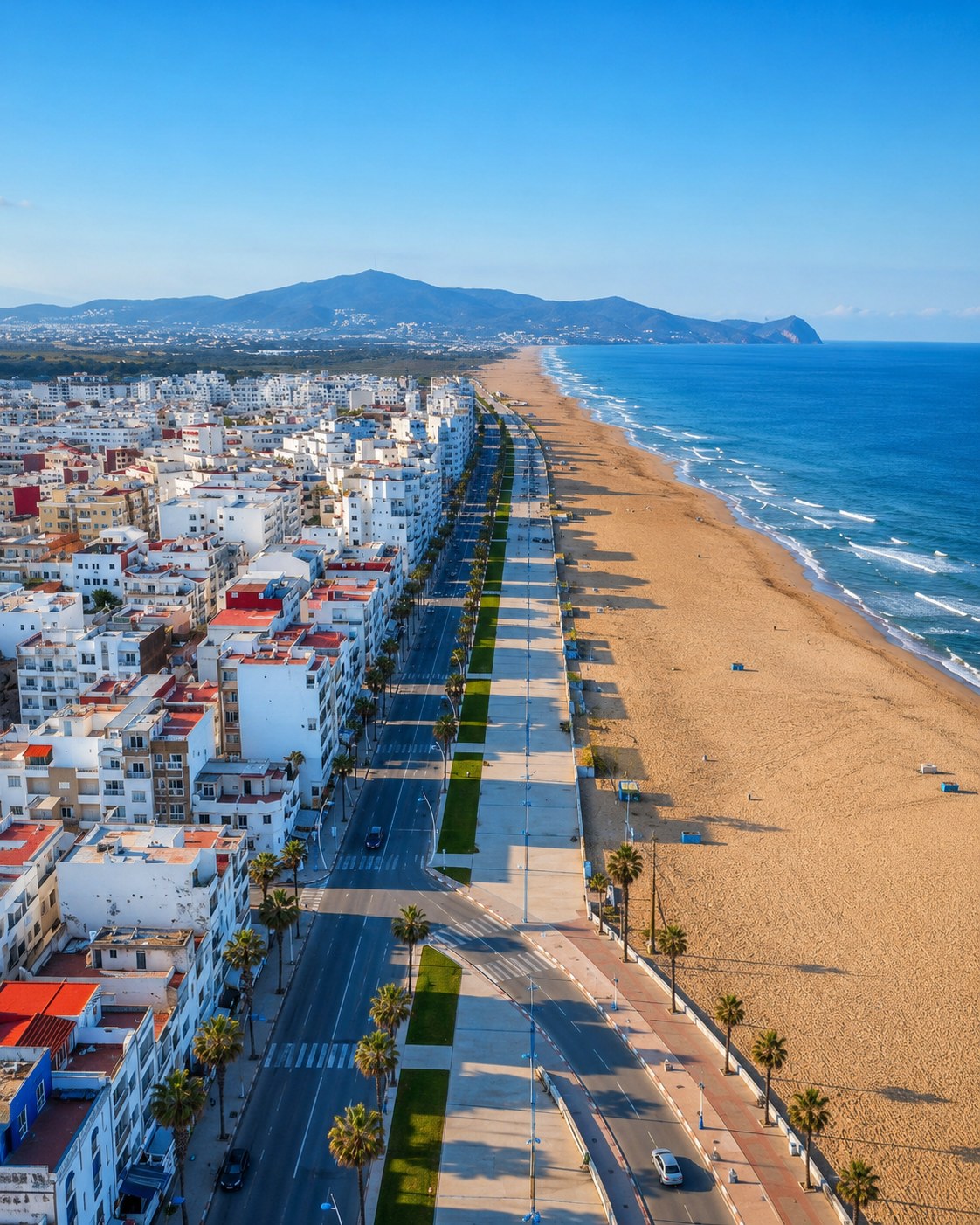
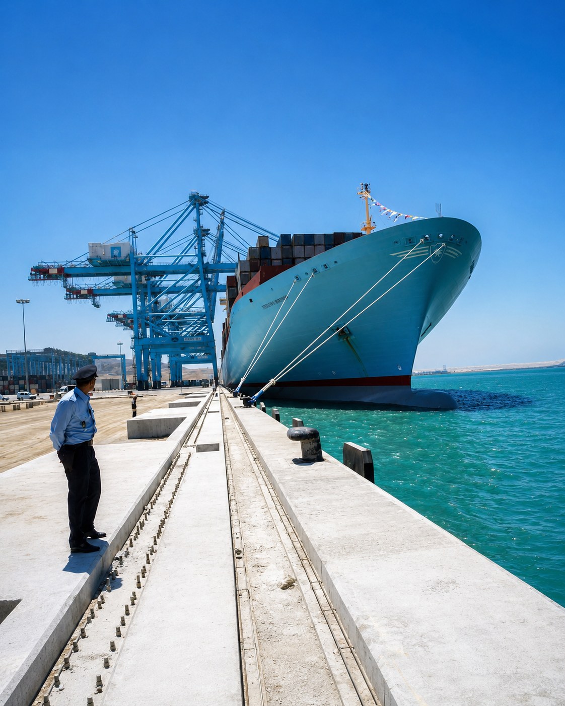
Strait gateway where Atlantic and Mediterranean horizons meet.

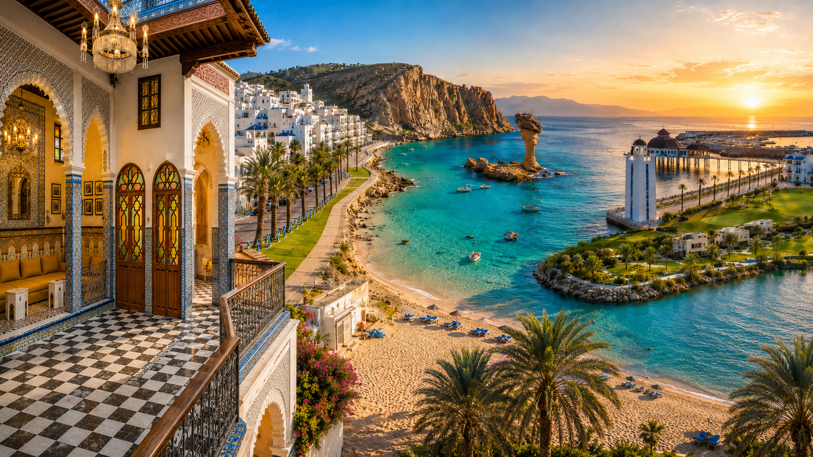
Strait Coast, Rif Bays & Eastern Oasis Routes
Follow Morocco’s Mediterranean and Strait coast from Tangier and Ksar Sghir toward Tétouan, Al Hoceima, Nador and Saïdia, then inland toward Oujda, Berkane, Figuig, Errachidia and Midelt.
This corridor follows Morocco’s Mediterranean and Strait coast from Tangier and Ksar Sghir toward Tétouan, Al Hoceima, Nador and Saïdia, then continues inland toward Oujda, Berkane, Figuig, Errachidia and Midelt.
It brings together the Strait gateway, Tétouan and Tamuda Bay, the Rif Mediterranean coast, the Oriental coast and eastern oasis-highland routes.
This is a corridor of changing relationships, not a single coastal identity. The Strait, the Rif shore, a lagoon, an inland city and an eastern oasis all require different ways of looking. Travel labels overlap here: northern, Mediterranean, Rif and Oriental describe different scales, and none explains every community within them.
Strait gateway where Atlantic and Mediterranean horizons meet.
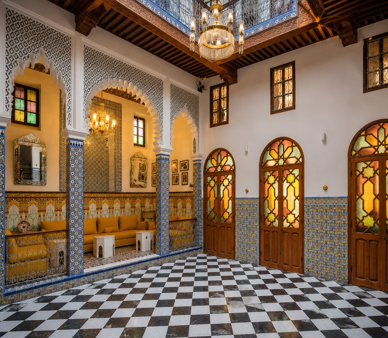
UNESCO medina behind Tamuda Bay and the Mediterranean coast.
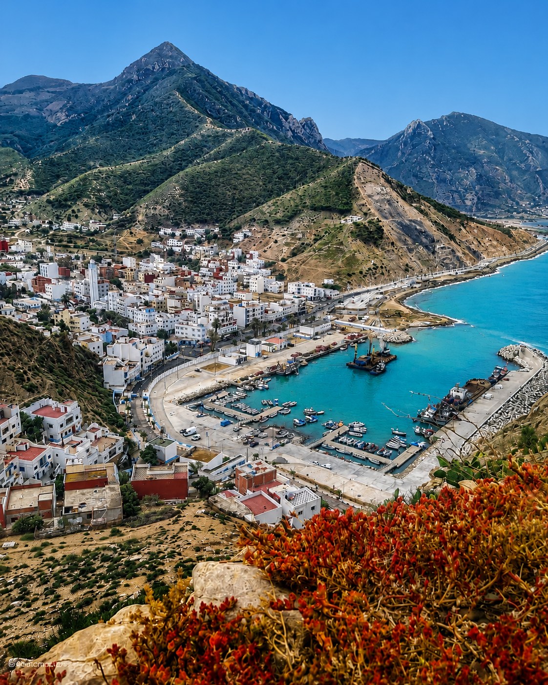
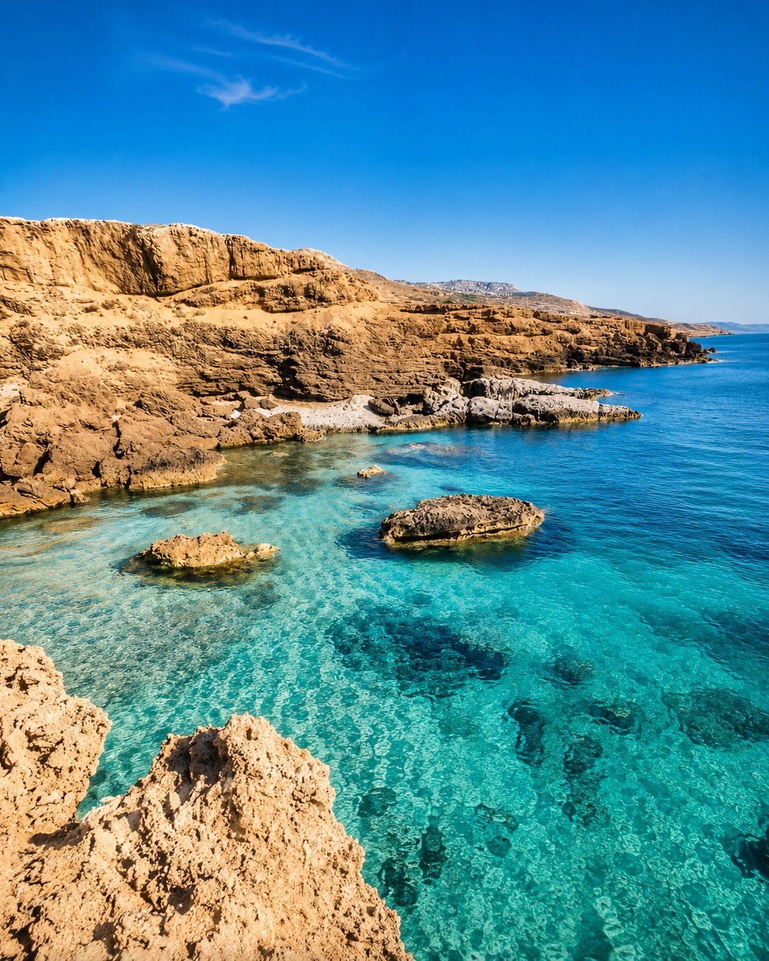
Rif mountains, blue bays and protected coastal nature.
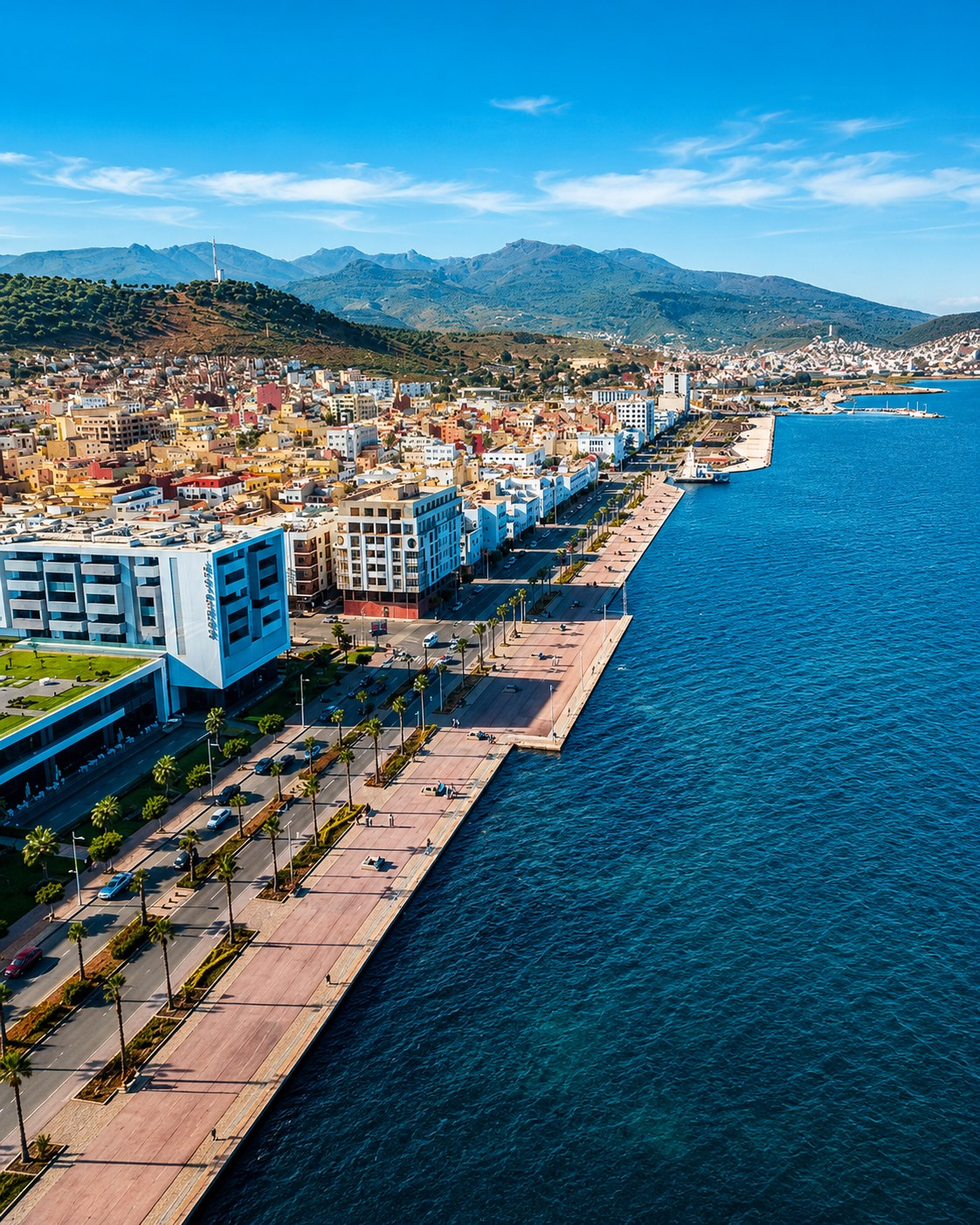
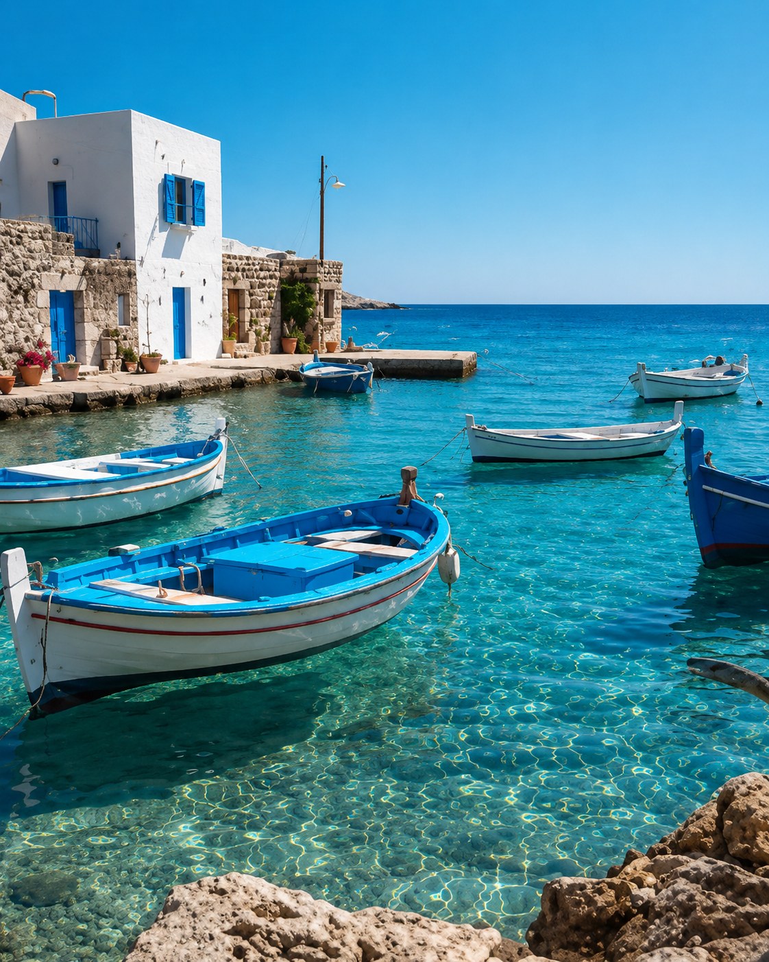
Eastern Rif coast, Marchica Lagoon and Saïdia route links.
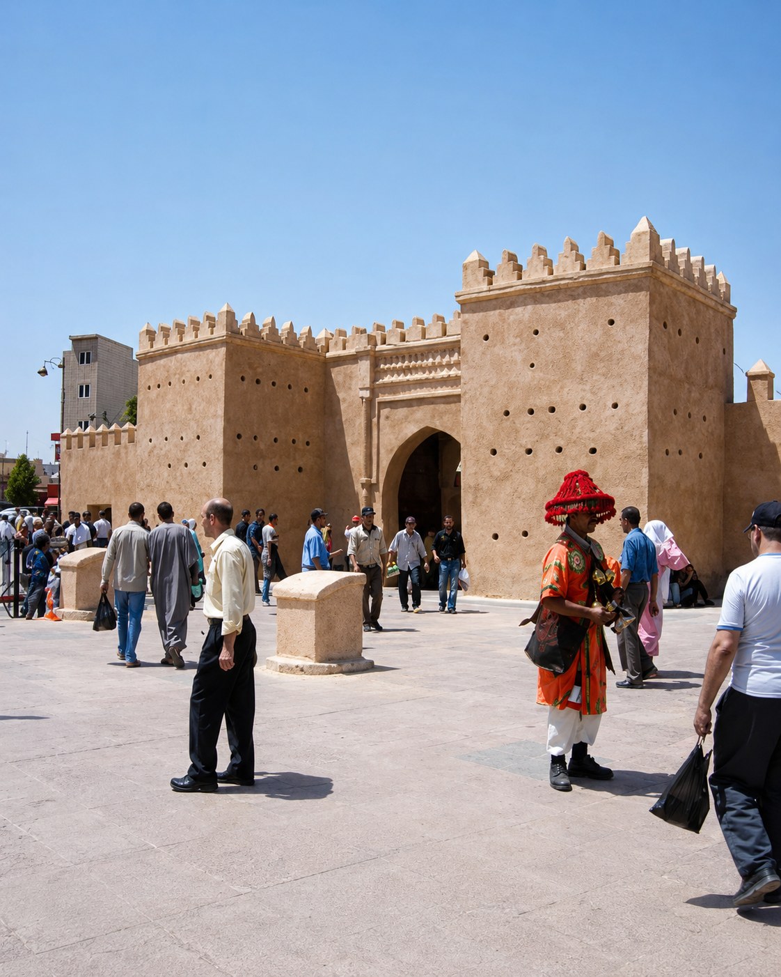
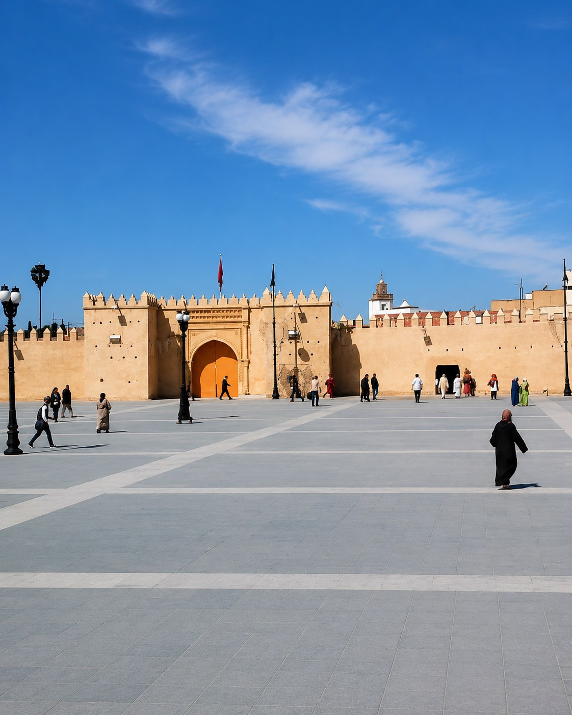
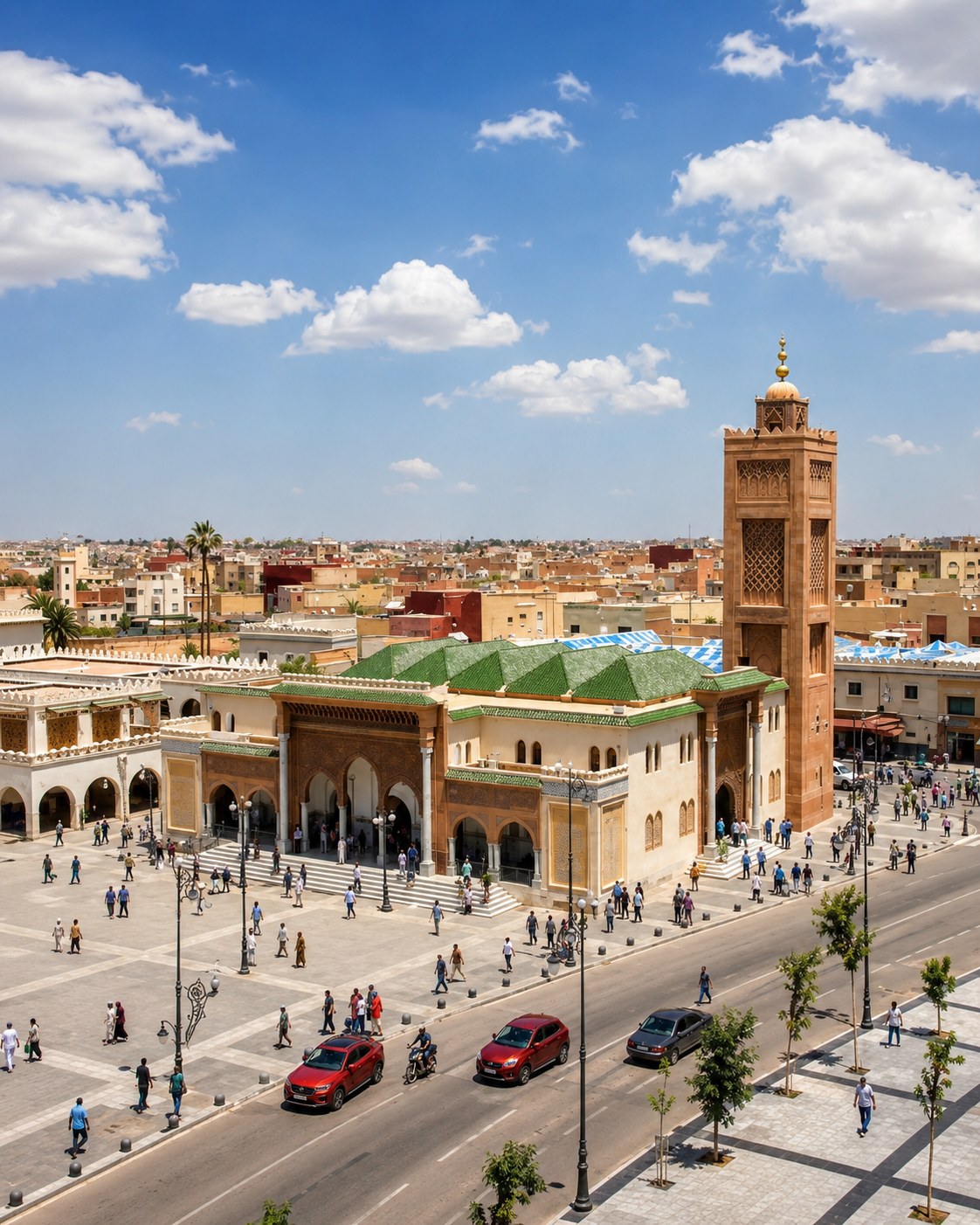
Eastern capital for medina walks, music culture and inland routes.
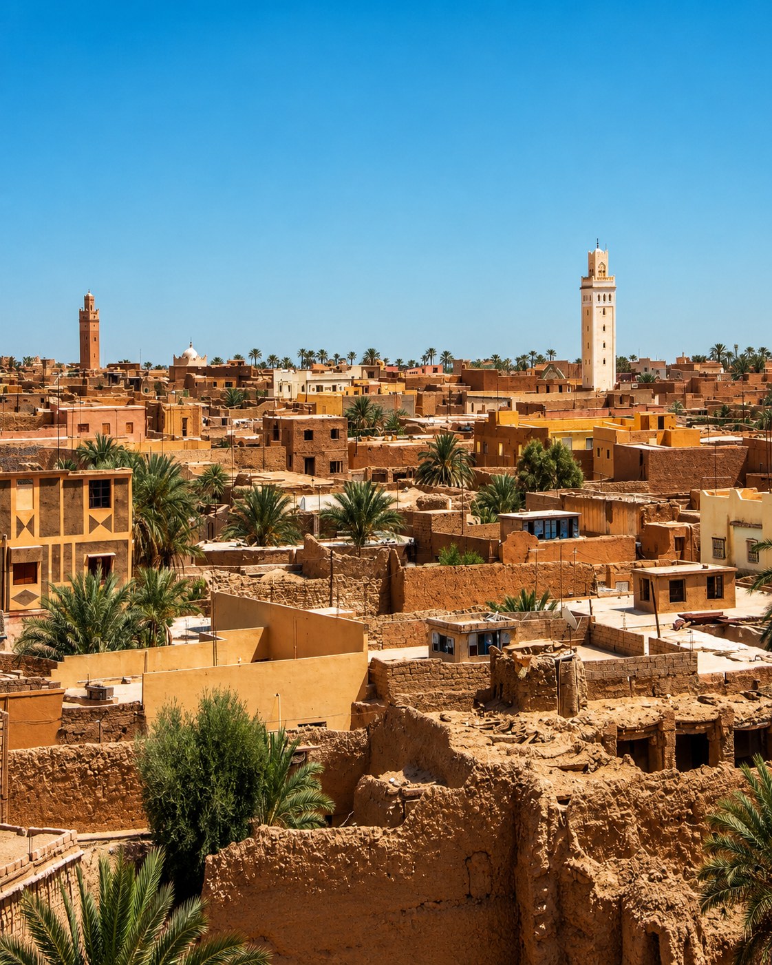
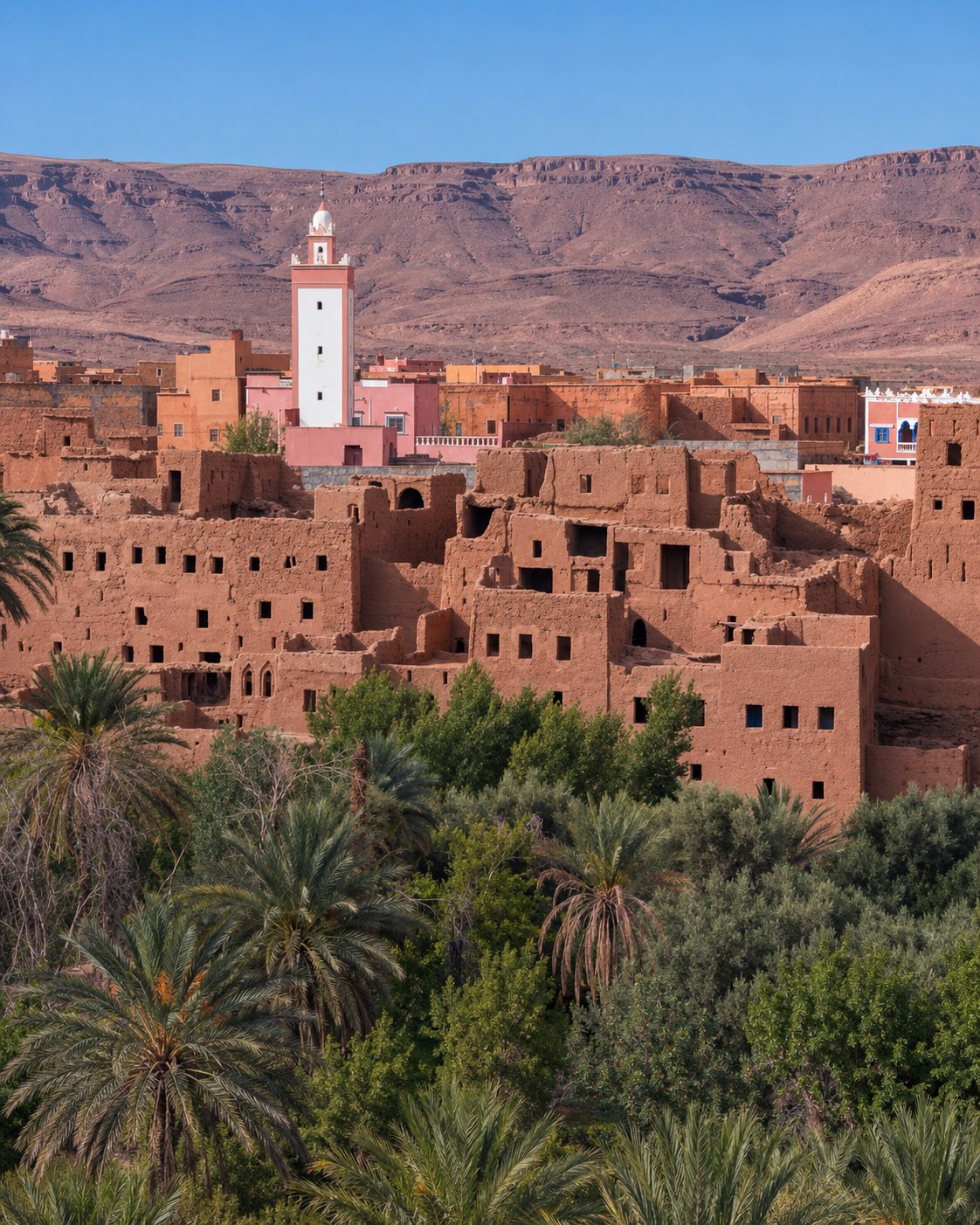
Oasis town of palm groves, ksour and eastern-route heritage.
The route moves from Tangier and Ksar Sghir through Tétouan and the Rif coast, then east to Nador, Saïdia, Oujda, Berkane, Figuig, Errachidia and Midelt.
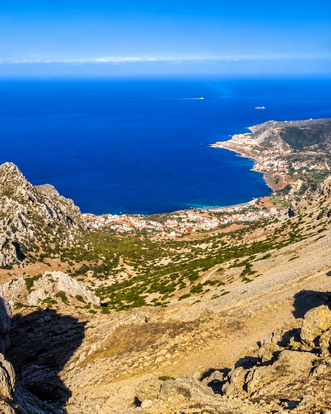 Strait coast · Rif bays · Oriental routes
 Strait coast
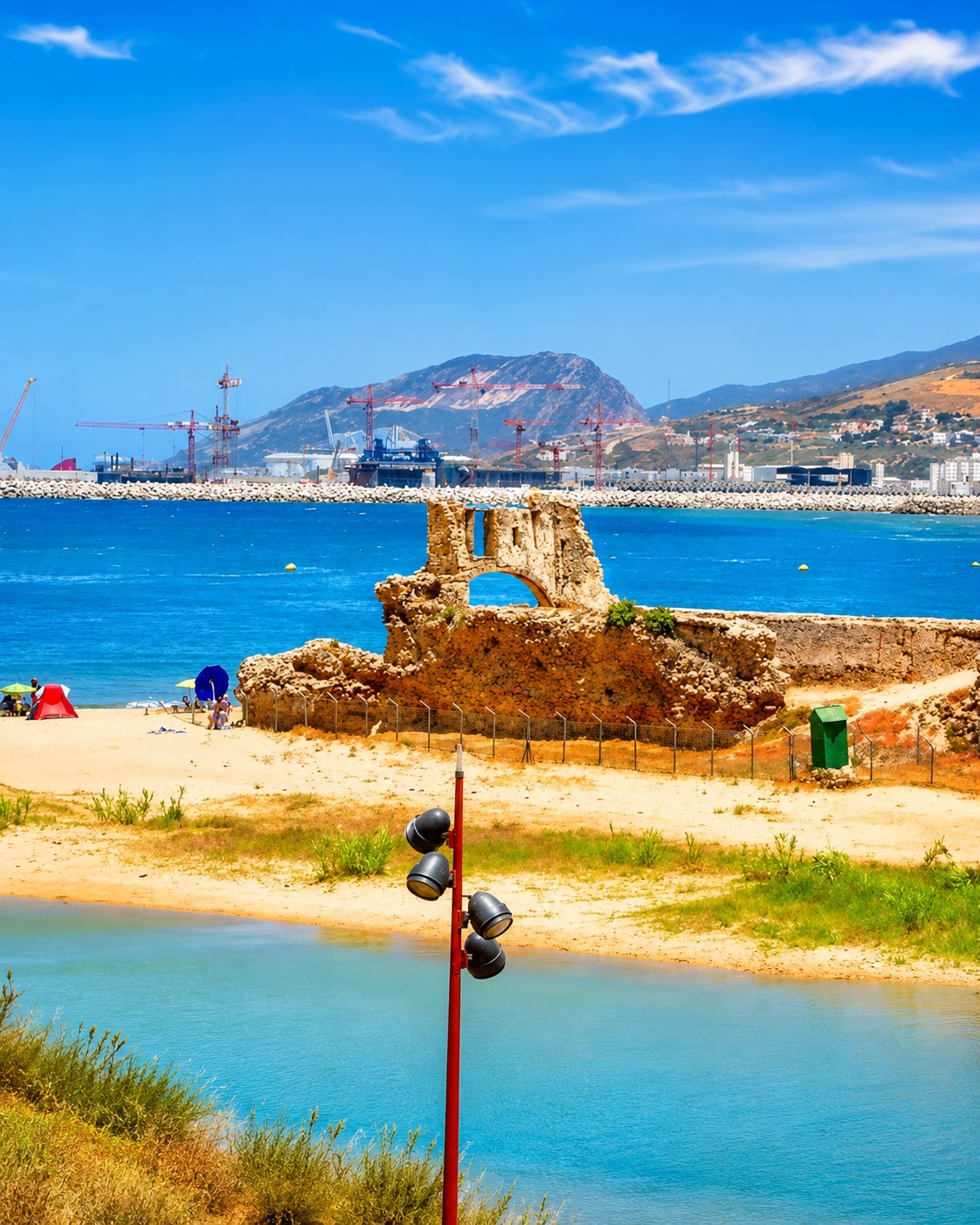 Ksar Sghir
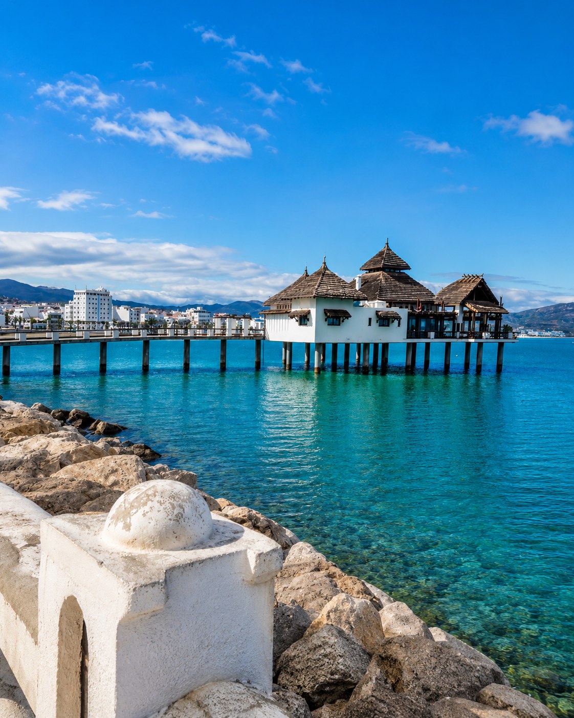 Tétouan coast
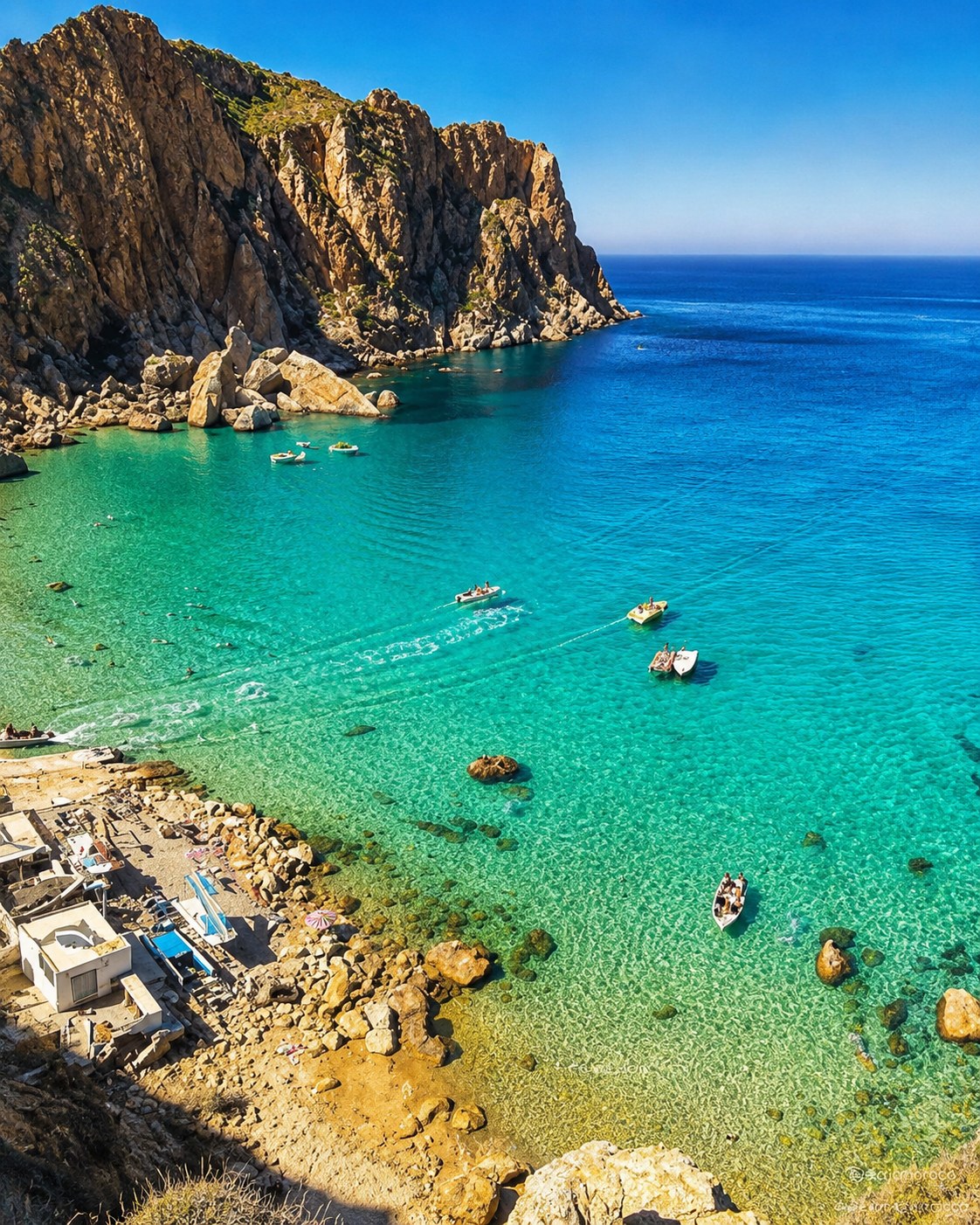 Al Hoceima bays
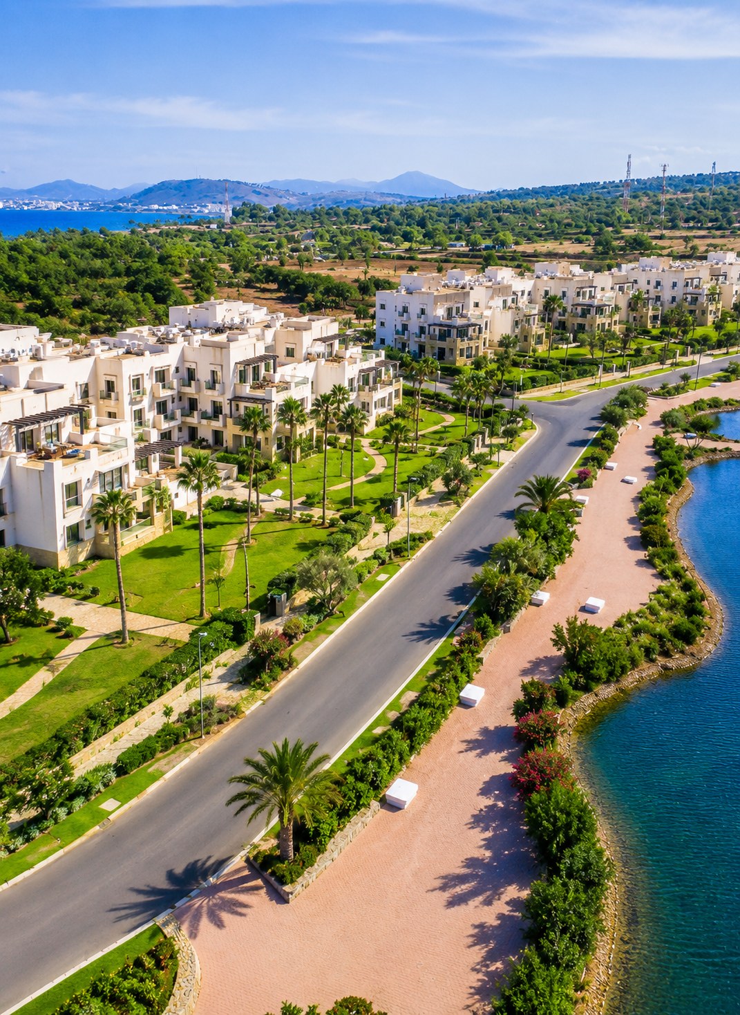 Marchica Lagoon
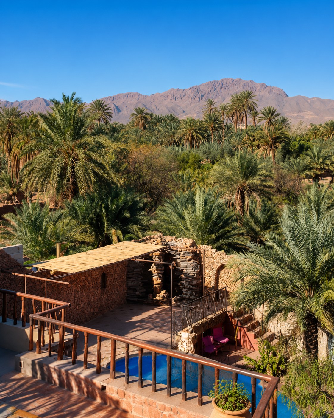 Figuig oasis
This region links Strait crossings, UNESCO medina heritage, Rif coastal nature, eastern beaches, inland music culture, oasis settlements and highland-desert routes.
Tangier, Ksar Sghir and the coast near Ceuta frame Morocco’s northern Mediterranean opening.
Tétouan connects a UNESCO-listed medina with Tamuda Bay and nearby seaside towns.
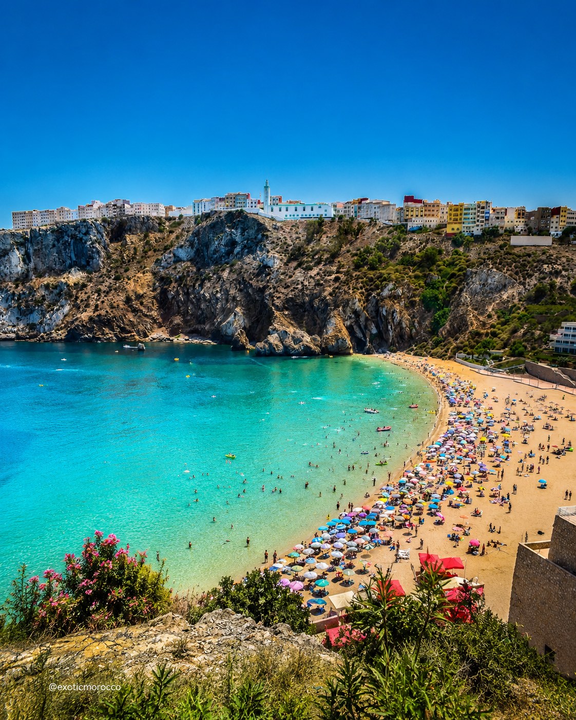
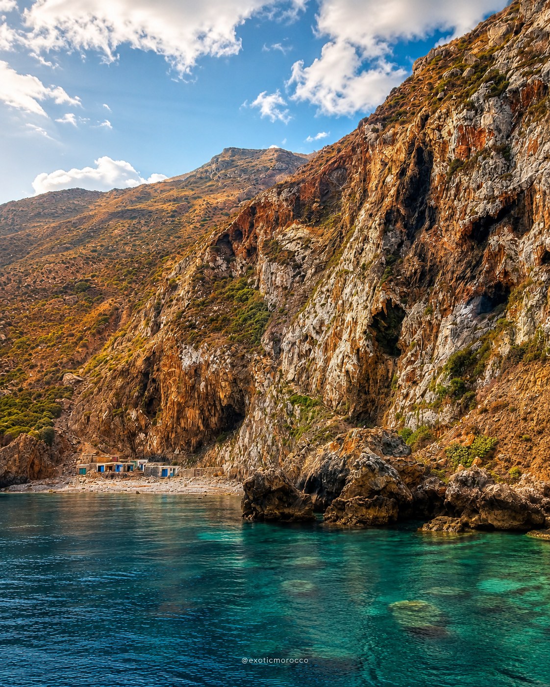
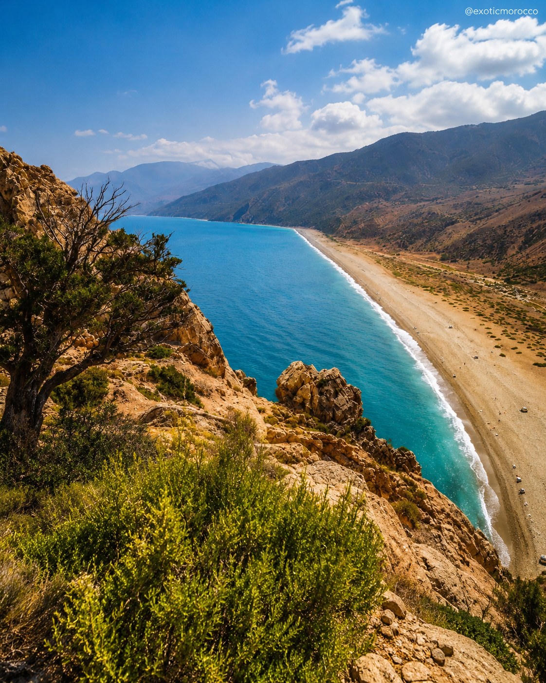
Al Hoceima and its national park bring cliffs, coves, blue bays and protected coastal nature.
Nador, Saïdia, Oujda, Berkane and Figuig shift the region from lagoon and beach to oasis and highlands.
Tangier opens the Strait; Tétouan gives the route its medina-and-coast layer; Al Hoceima carries the Rif Mediterranean; the Oriental route leads through Nador, Oujda and Figuig.
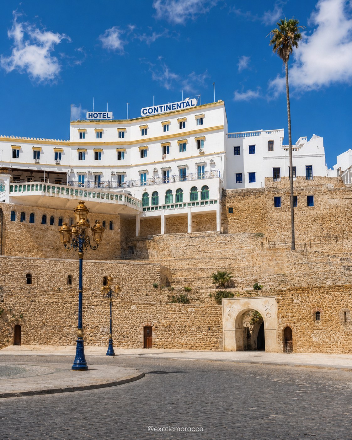
A northern gateway where Atlantic and Mediterranean horizons meet.
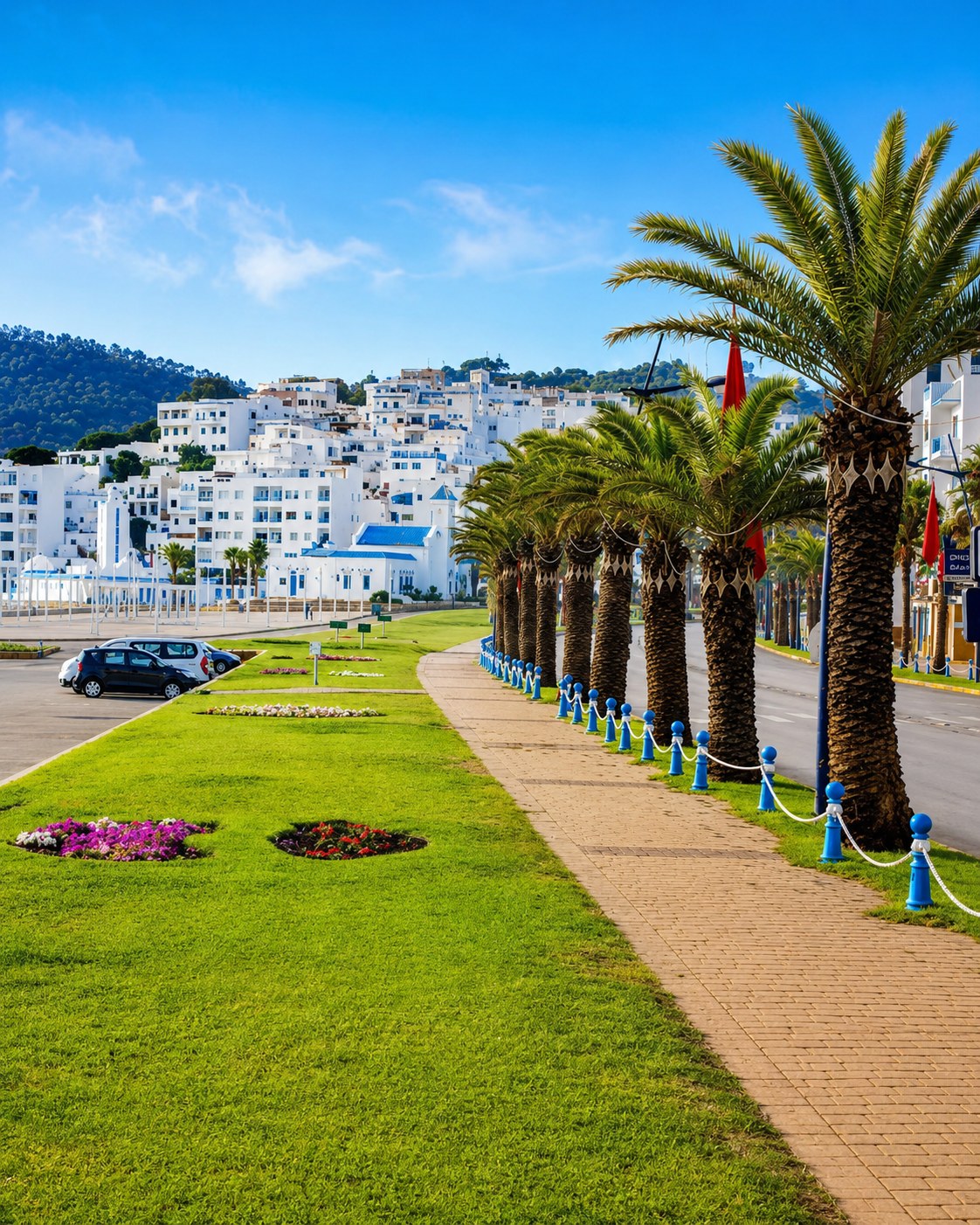
UNESCO medina culture linked with the nearby Mediterranean coast.
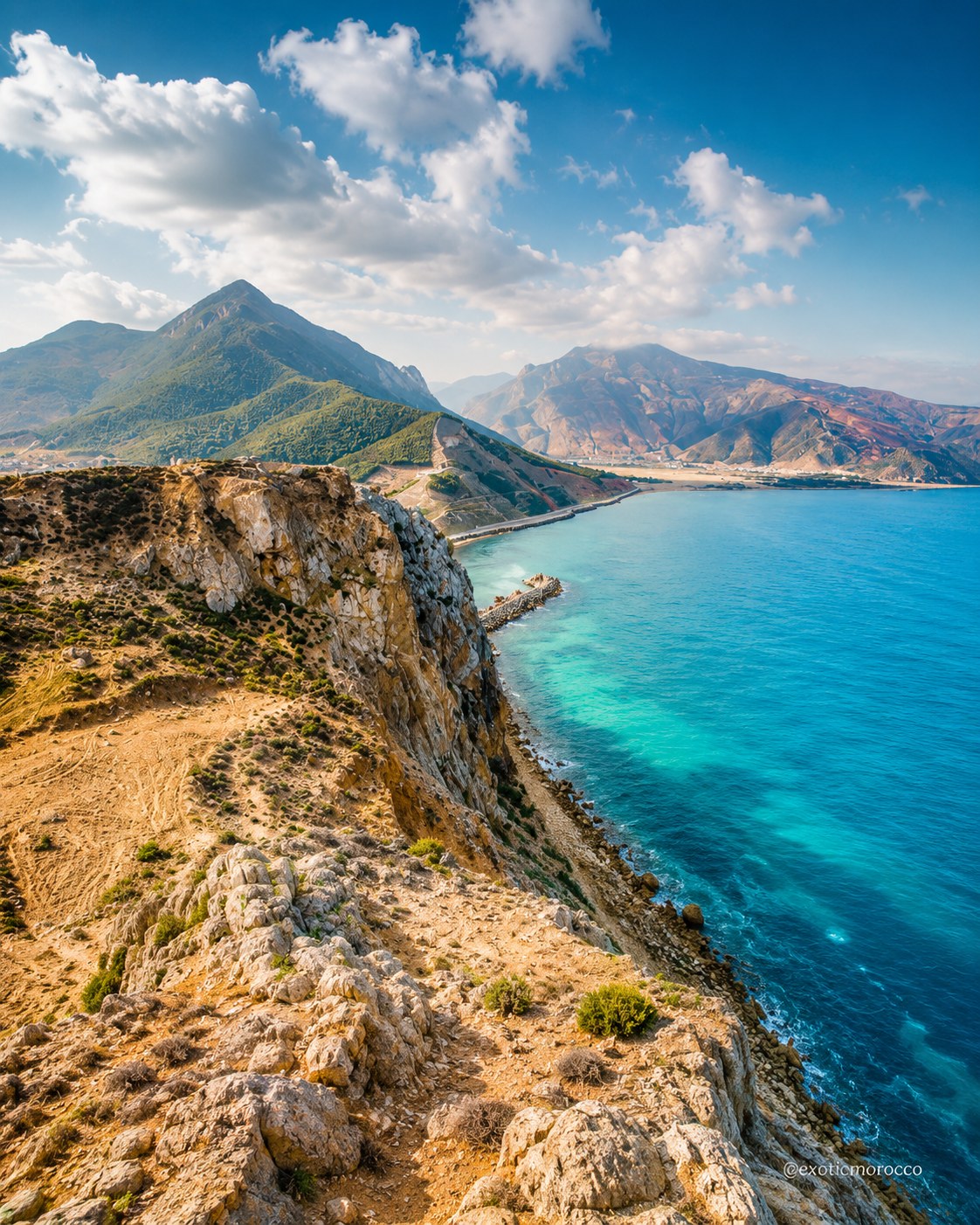
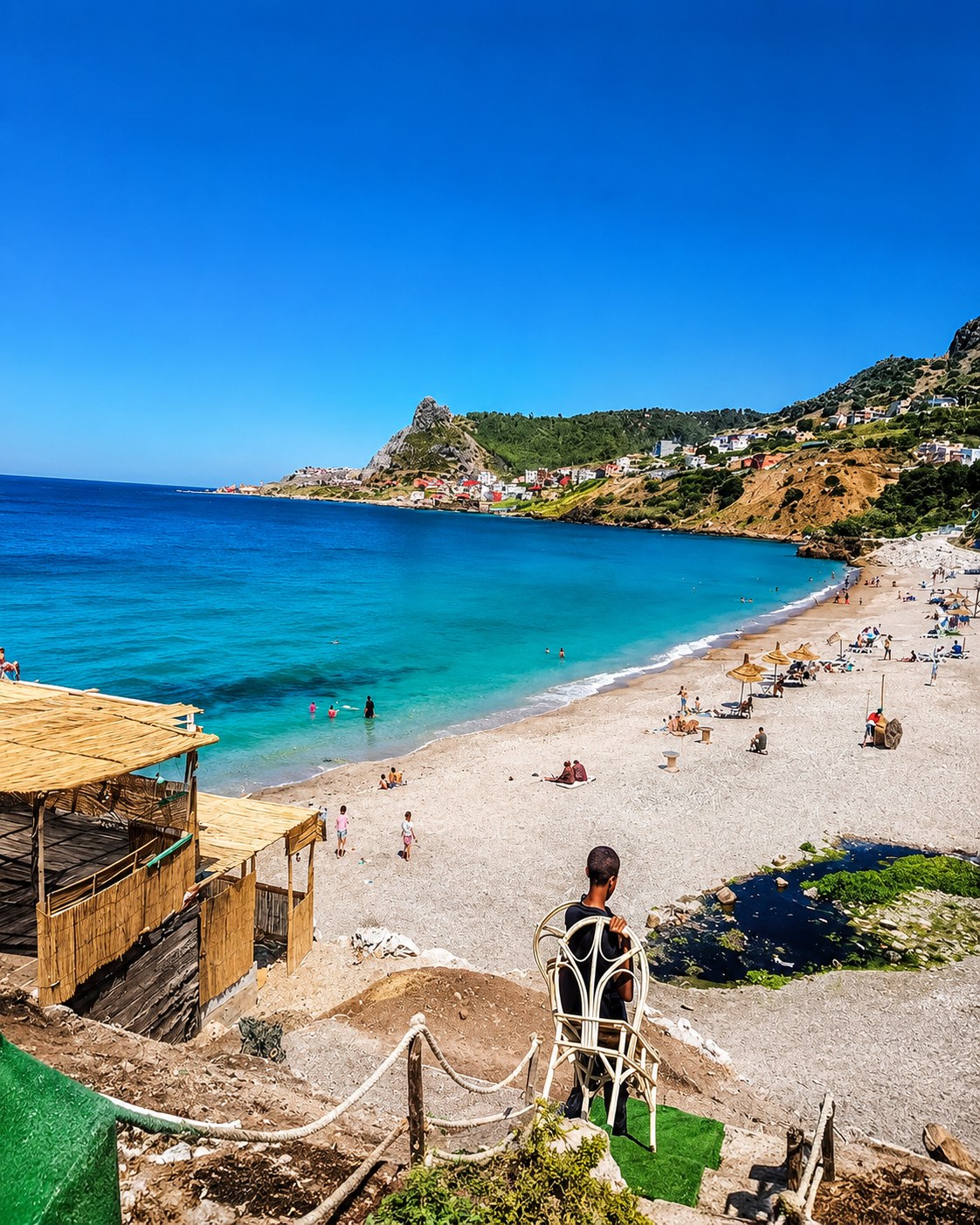
Blue bays, cliffs, coves and protected coastal nature.
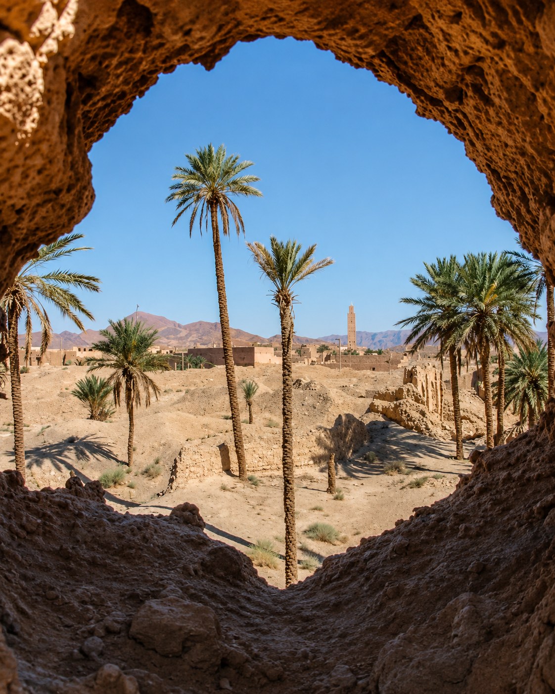
Lagoon, beach, eastern capital, foothills and oasis routes.
The corridor works as a sequence: Strait coast, Tétouan heritage, Rif bays, Oriental lagoon and beach routes, Oujda’s inland identity, and Figuig’s oasis edge.
Tangier, Ksar Sghir, Belyounech and Jbel Musa shape the western opening of the route.
Tétouan’s UNESCO medina sits behind Tamuda Bay, M’diq-Rincón, Martil and Cabo Negro.
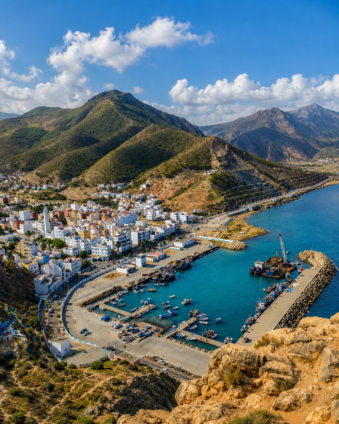
Oued Laou, El Jebha, Cala Iris and Al Hoceima show the Rif meeting the sea.
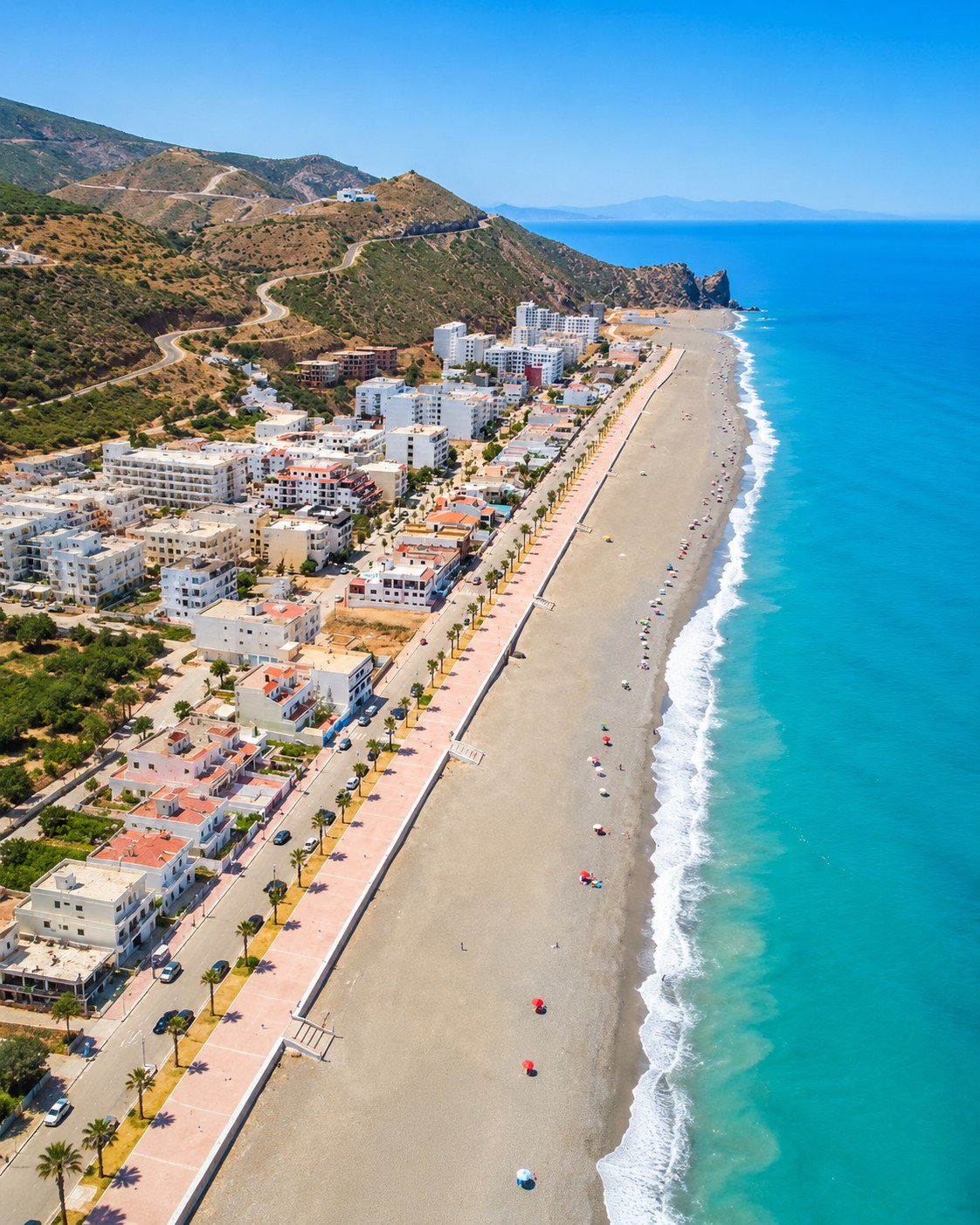
Marchica Lagoon, Ras El Ma and Saïdia connect the eastern Rif coast with the Oriental shore.
Figuig, Errachidia, the Ziz Valley and Midelt link oasis heritage with eastern highland routes.
Atlantic and Mediterranean horizons meet around Morocco’s northern gateway.
Tangier anchors the western edge of this corridor, with the Strait, Ksar Sghir, Belyounech and Jbel Musa shaping the coast toward Ceuta.
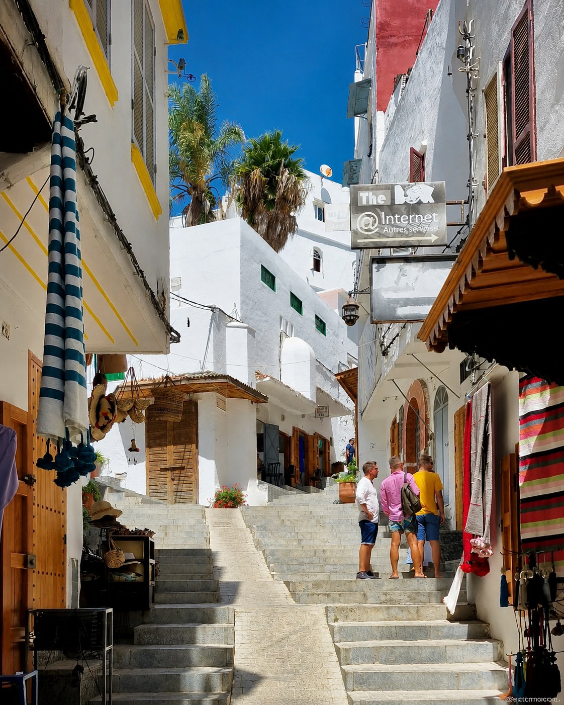
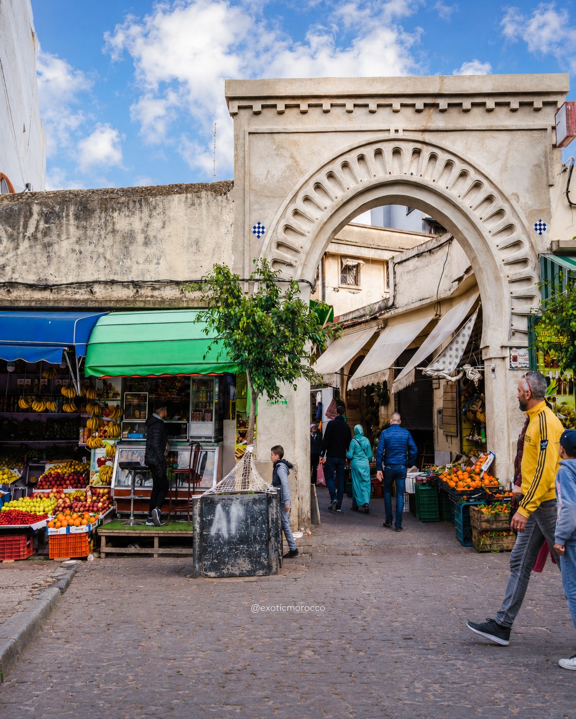
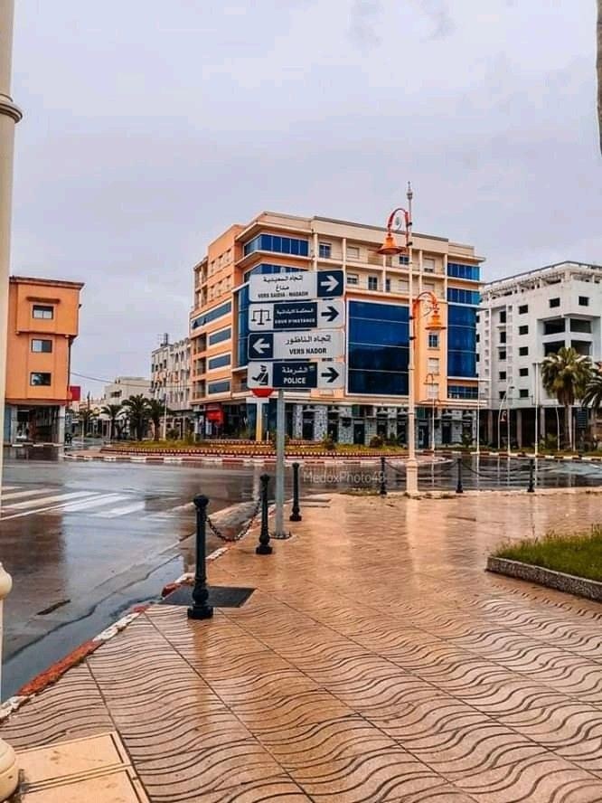
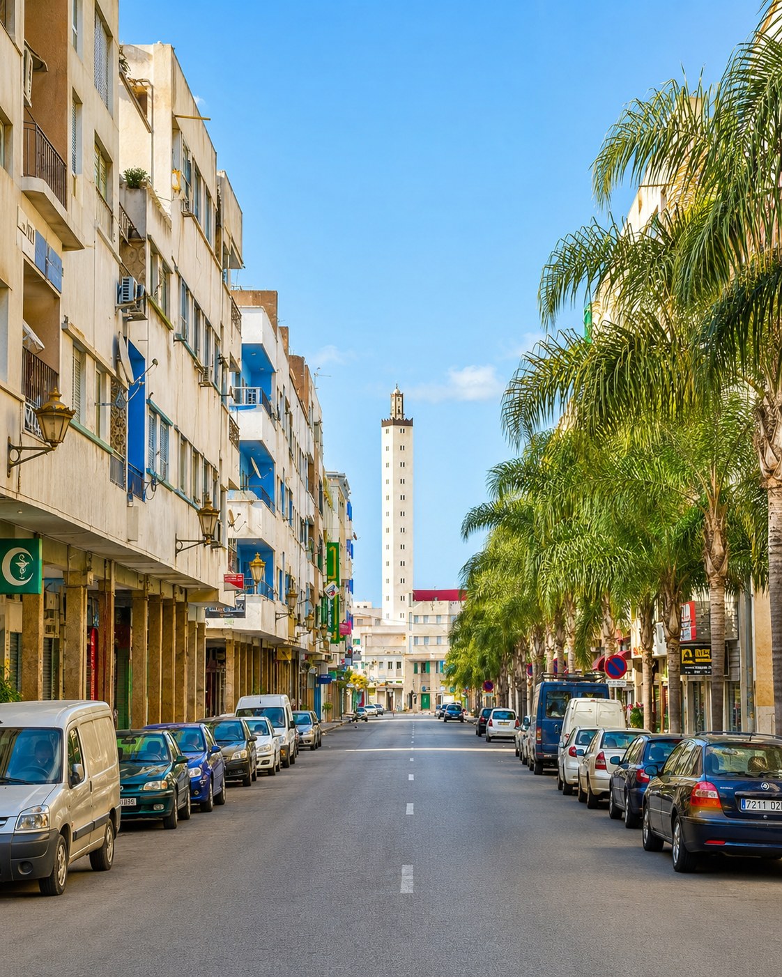
In this corridor, Tangier is best read as a threshold. A view across the Strait makes movement visible at a broad scale; an ordinary street brings that picture back to the city. A coastal trip towards Ksar Sghir or the Jbel Musa setting should be planned separately from a full medina day. It involves a different pace and different access questions. Use the gateway as an orientation point rather than a reason to hurry through its own institutions and neighbourhoods.
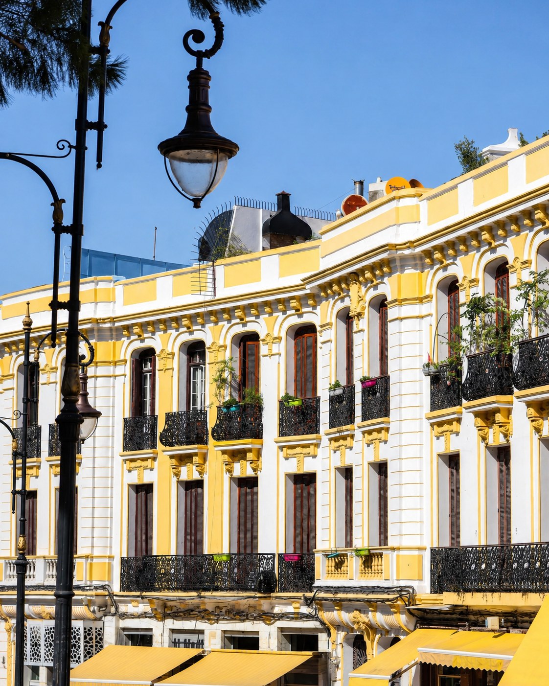 Tangier gateway
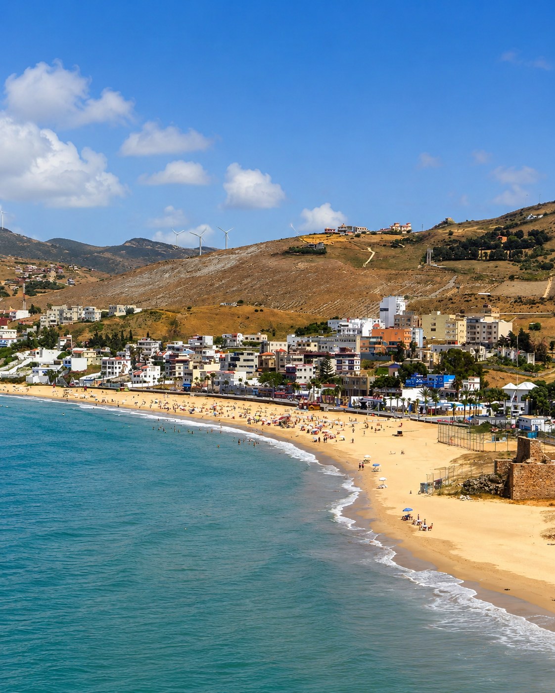 Ksar Sghir
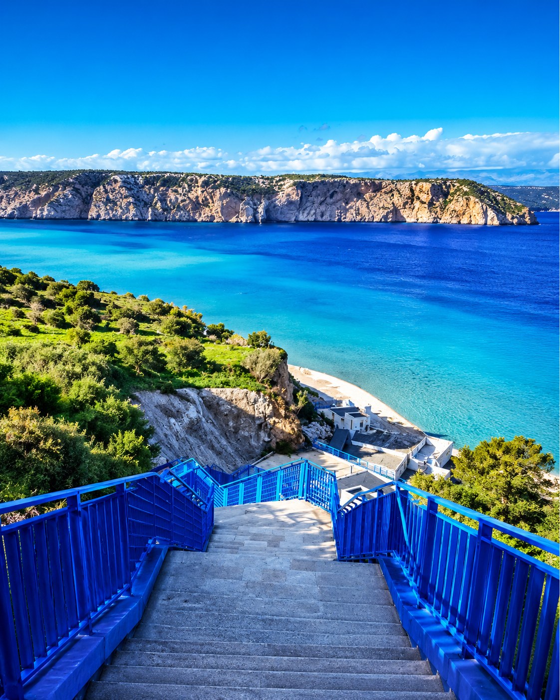 Belyounech
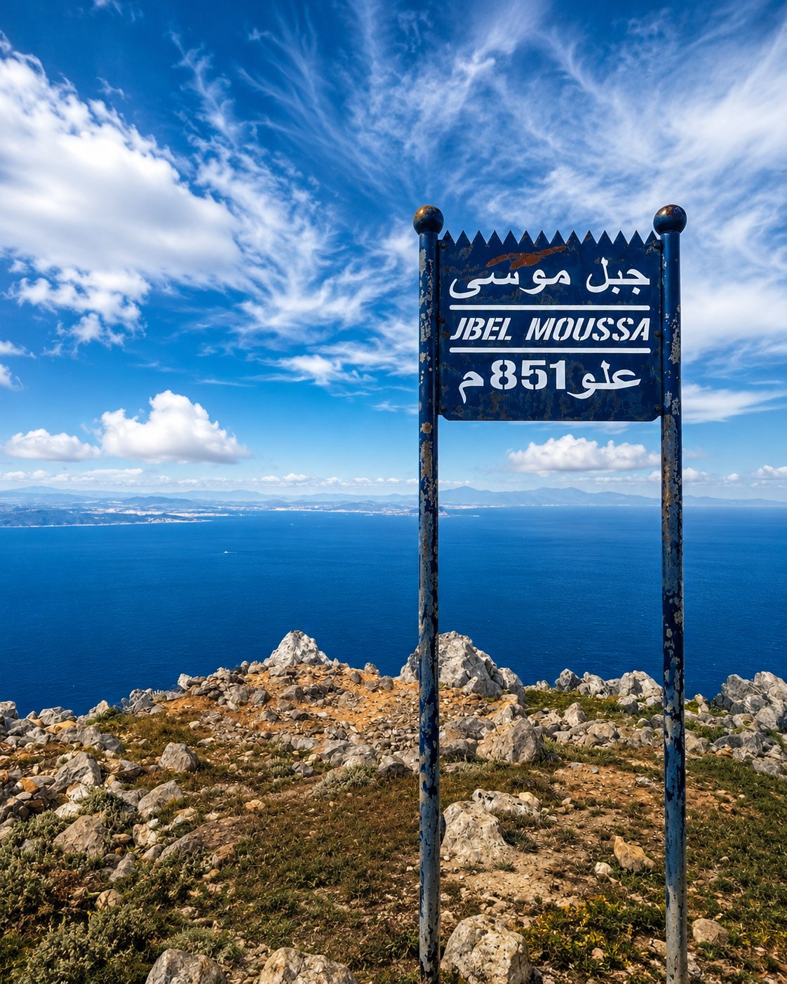 Jbel Musa
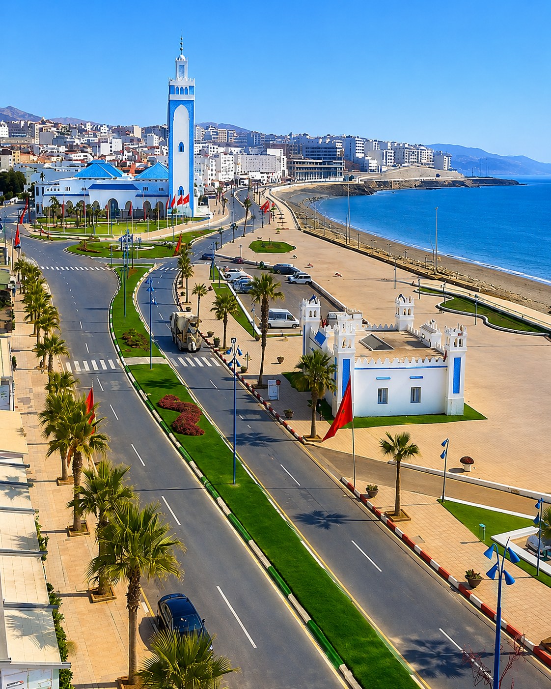 Fnideq
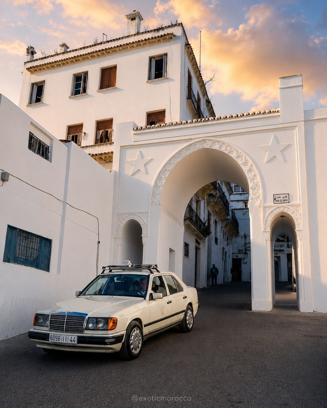 Strait coast
 Mediterranean horizon
 Tétouan Medina
 Tamuda Bay
 M’diq-Rincón
 Martil
 Cabo Negro
 Fnideq coast
 Andalusian-Moroccan detail
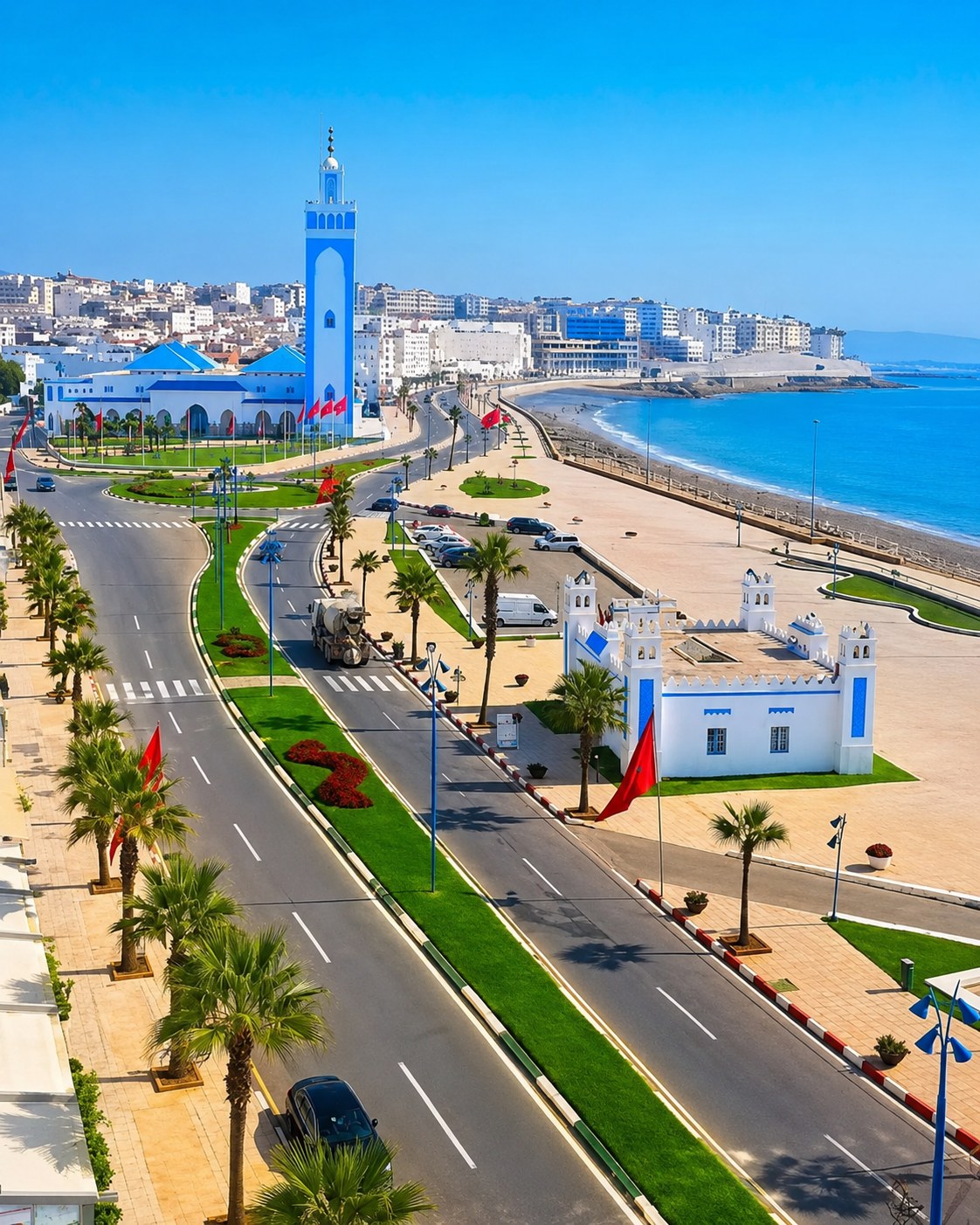
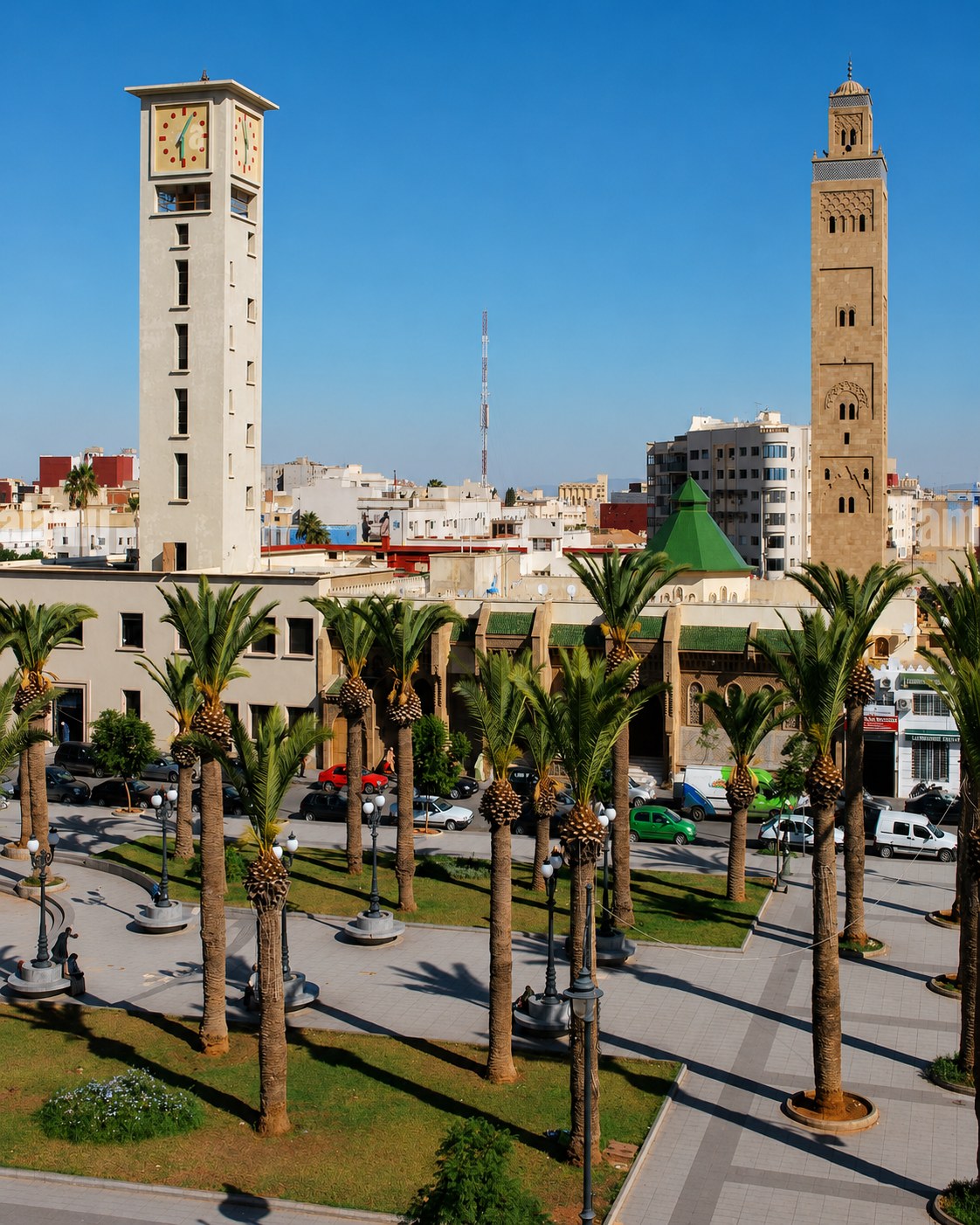
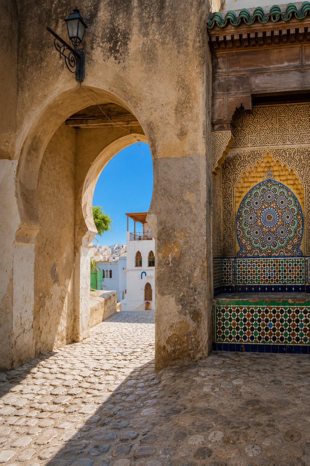
A UNESCO medina and Andalusian-Moroccan city behind the Mediterranean coast.
Tétouan connects medina heritage with the coast at Tamuda Bay, M’diq-Rincón, Martil, Cabo Negro and Fnideq.
Separate the inland city from the beach towns along the shore. Tétouan's medina can be read through craft, routes and documented Andalusian connections, while Martil or M'diq offer another kind of public and seasonal life. The contrast is the reason to combine them, not evidence that they form one interchangeable resort area. Give a city walk enough time for a quiet interior or a considered craft conversation, and allow for the transfer if you continue to the sea.
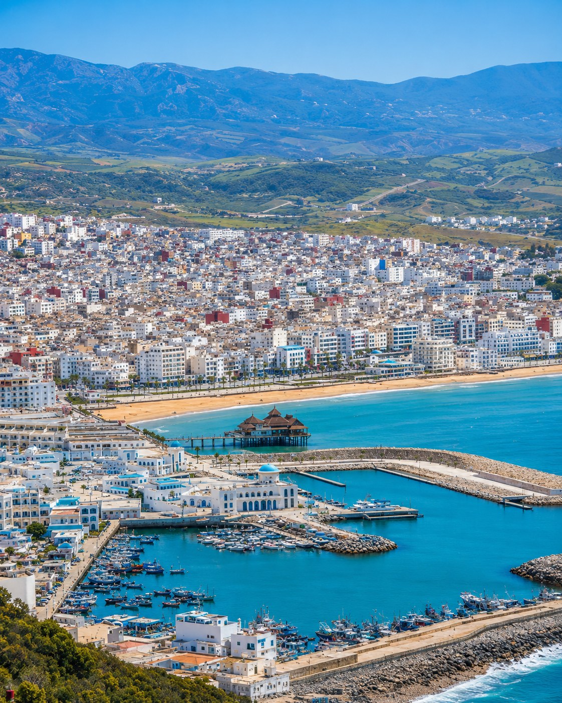
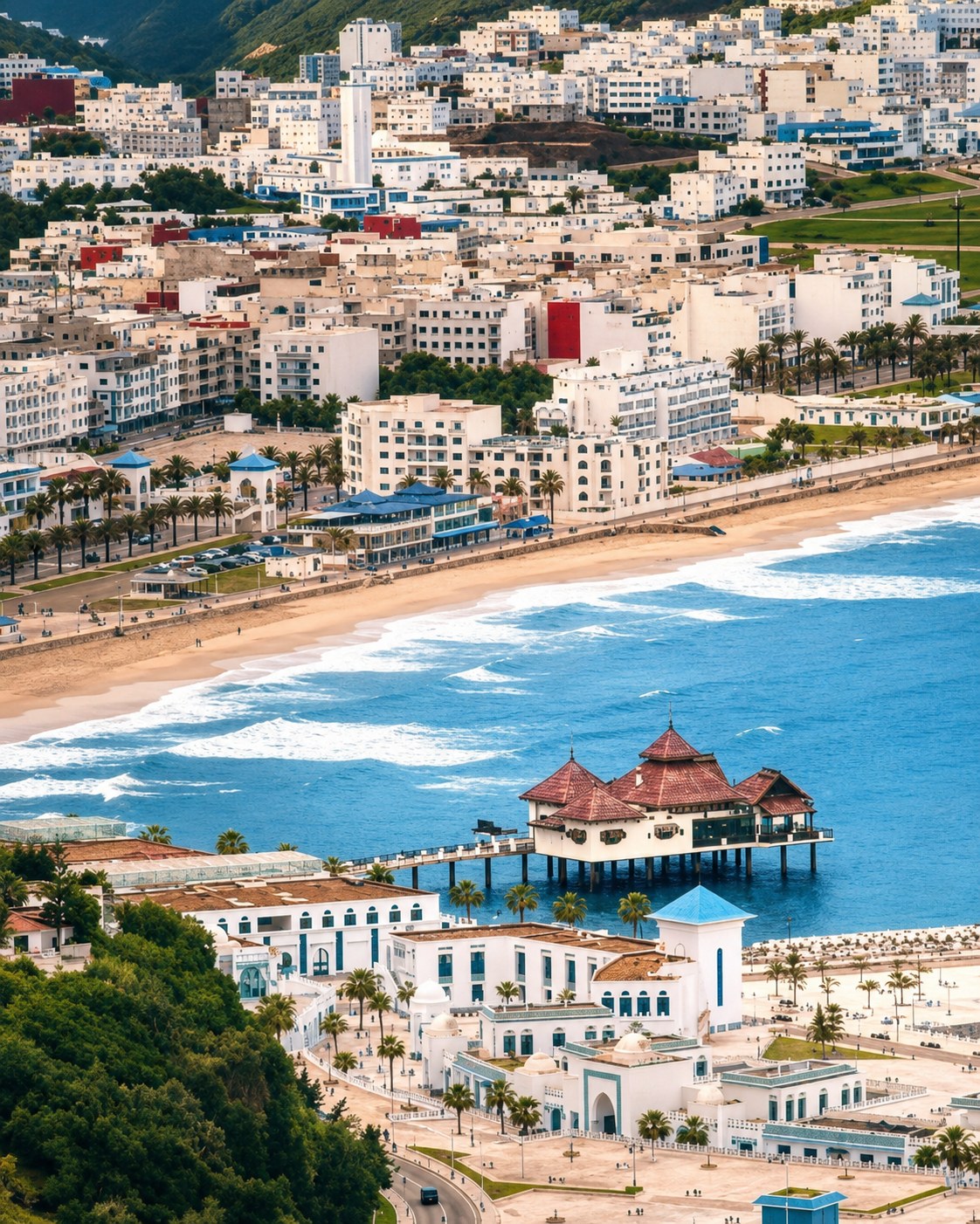
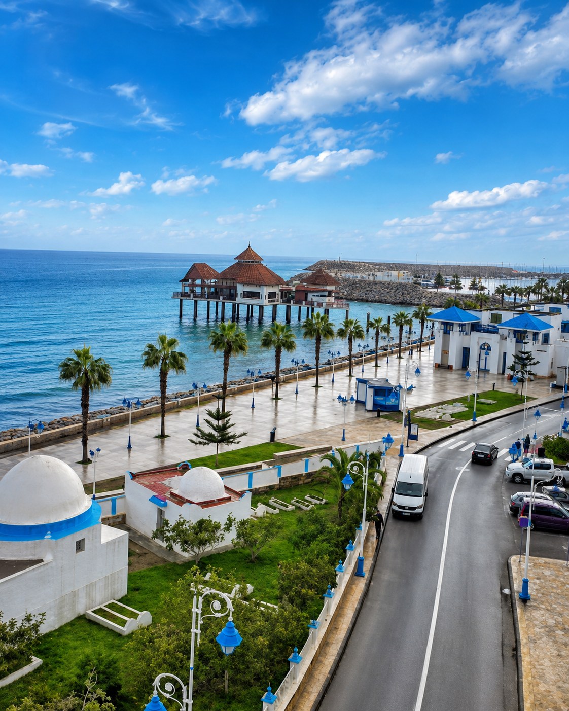
Al Hoceima anchors the Rif Mediterranean coast, with the national park, coves, cliffs and mountain roads linking Oued Laou, El Jebha and Cala Iris.
It is the strongest nature chapter: sea, rock, small ports and the Rif dropping toward the Mediterranean.
The Rif coast repeatedly brings mountains close to water. As a result, a route that looks simple on a national map can involve winding roads and substantial changes in level. Select a small number of coastal places and understand the approach to each. The town, working harbour and protected surroundings offer different encounters. Follow current local guidance for trails and shore access, and leave room for conditions to alter a plan built around beaches or exposed viewpoints.
 Al Hoceima bays
 Al Hoceima National Park
 Oued Laou
 El Jebha
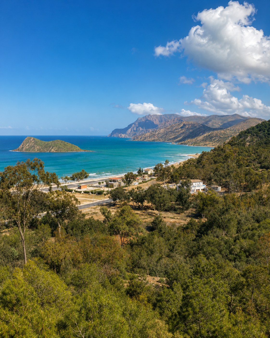 Cala Iris
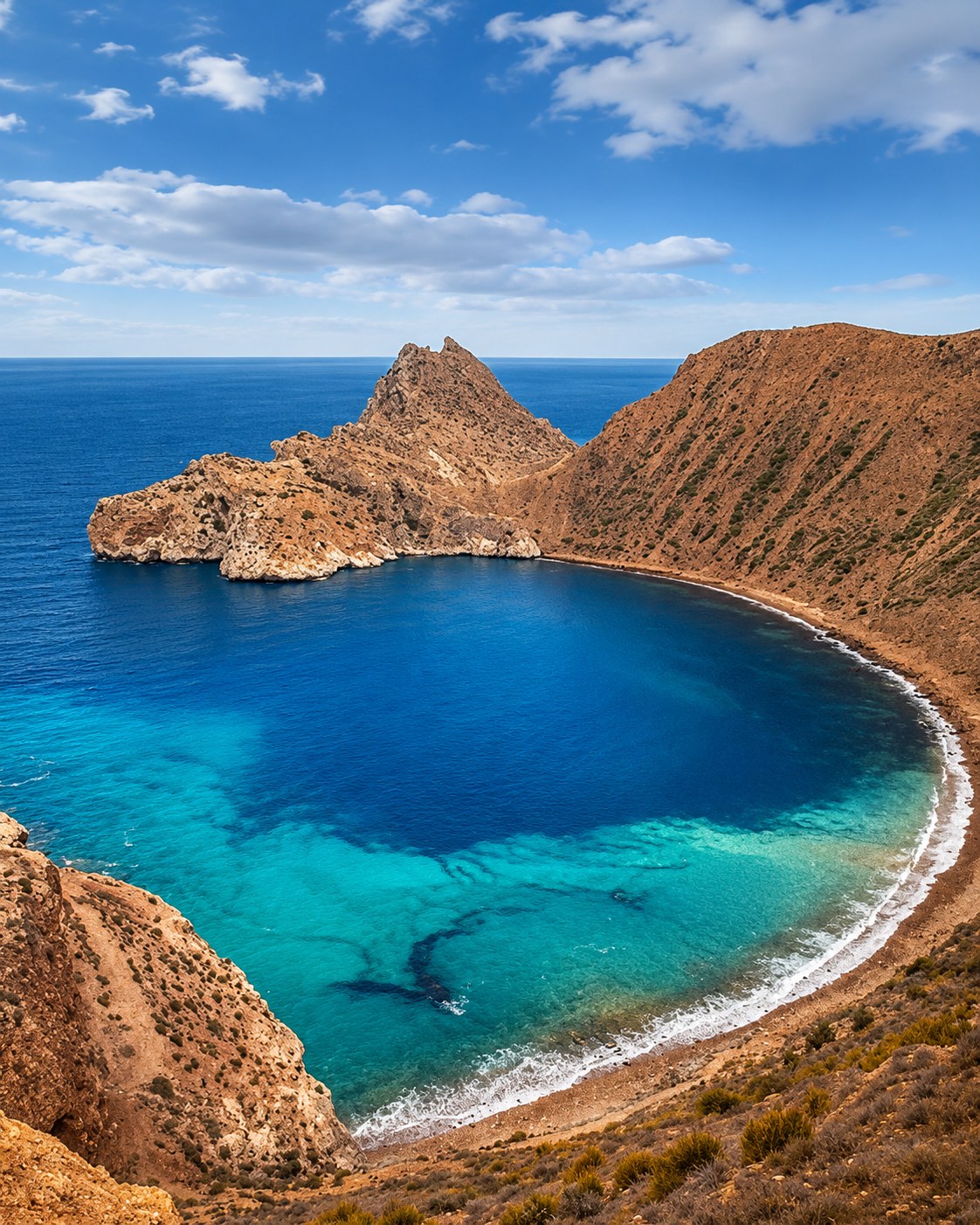 Rif cliffs
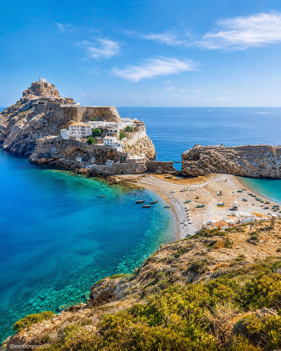 Blue bays
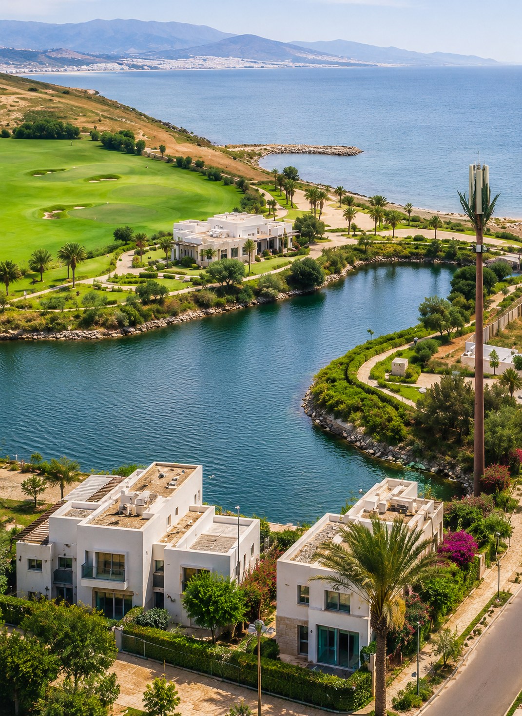 Nador coast
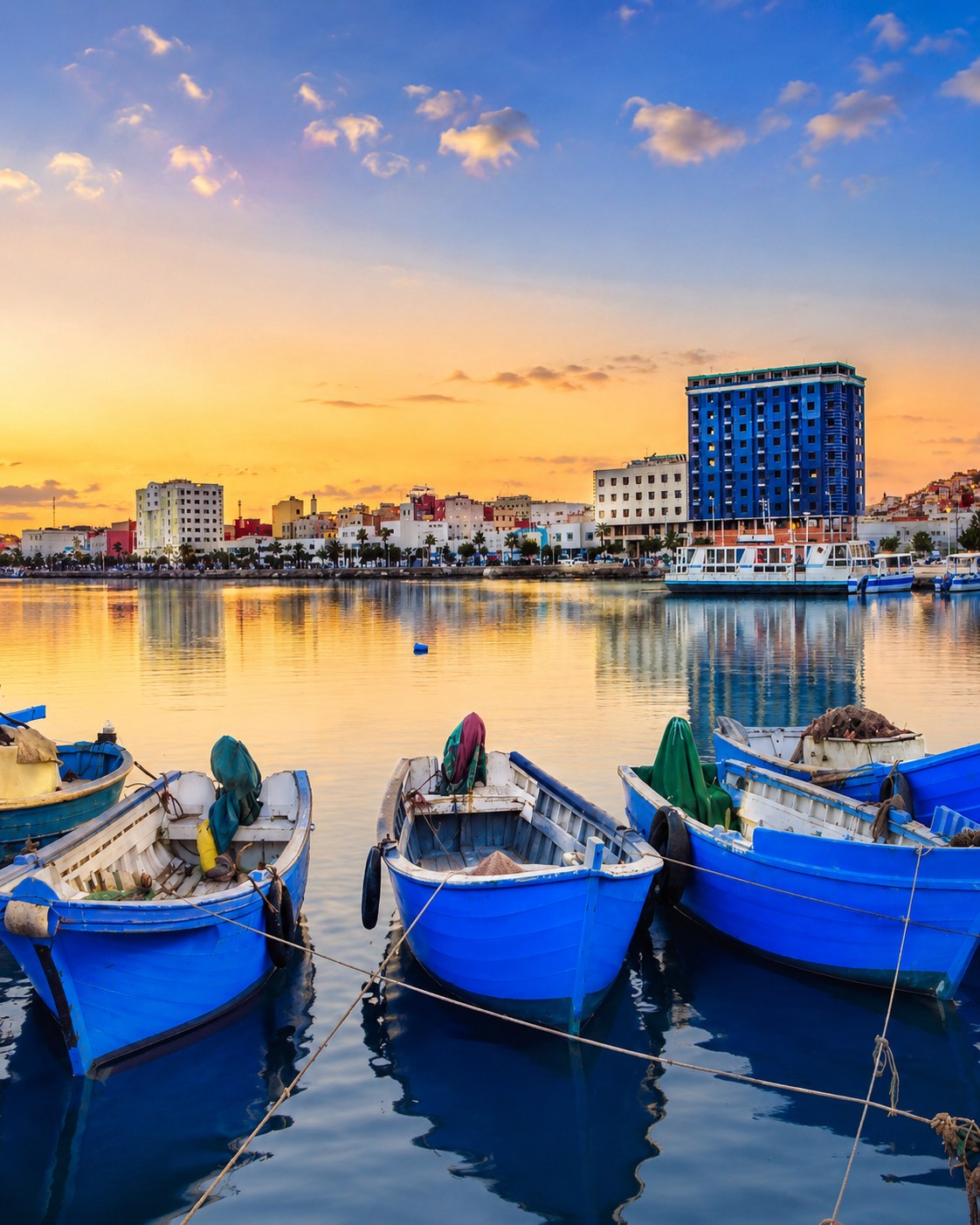 Marchica Lagoon
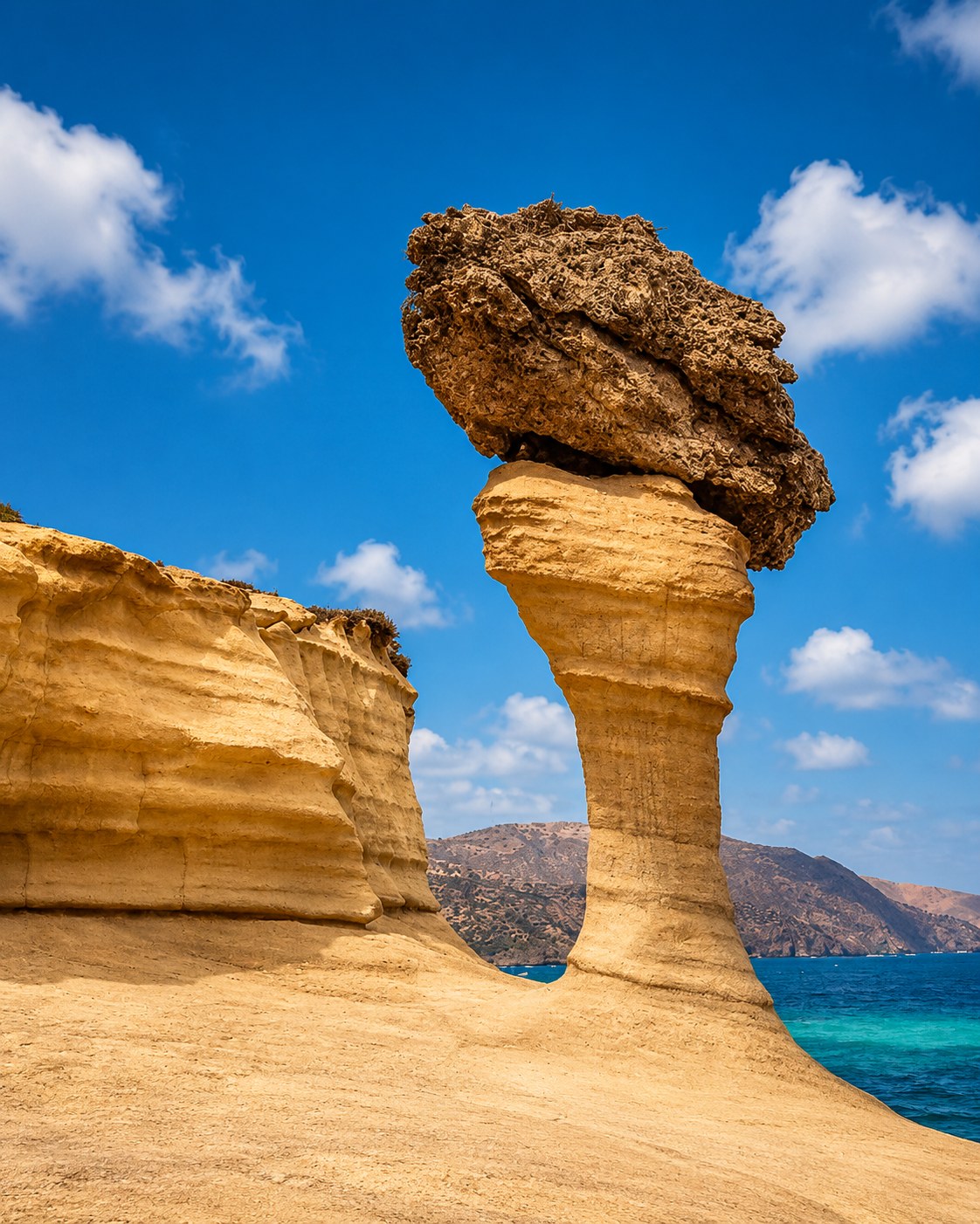 Ras El Ma
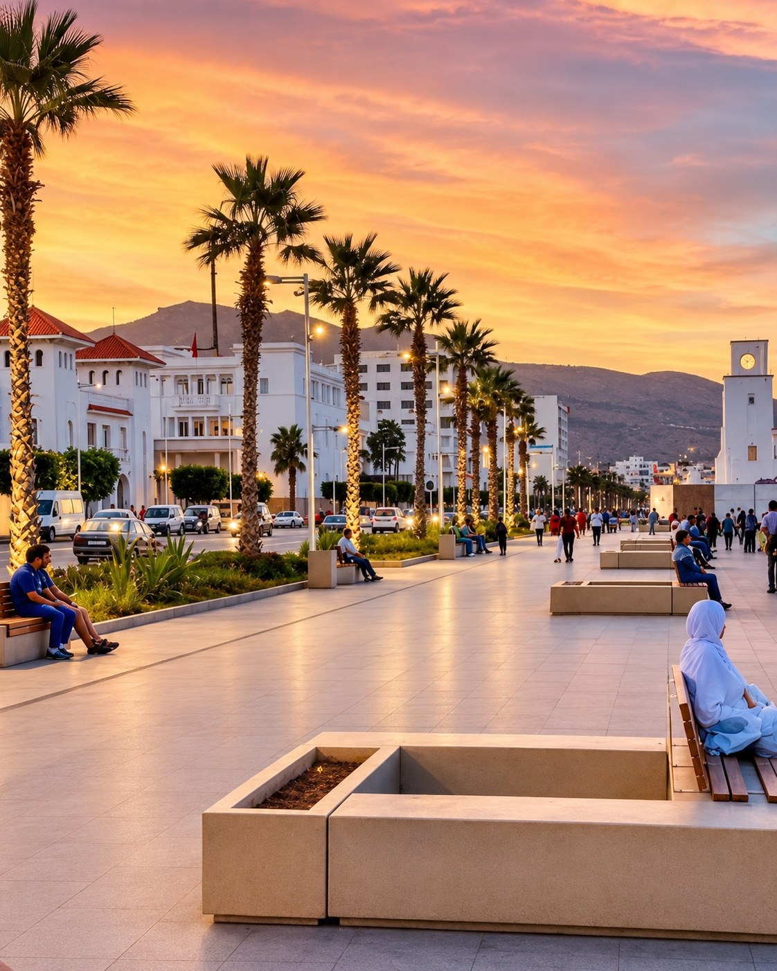 Saïdia
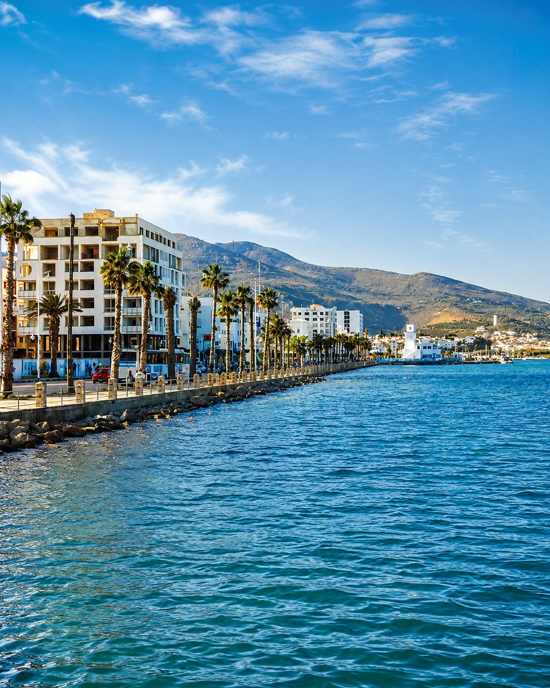 Eastern Rif
 Mediterranean coast
 Lagoon culture
Eastern Rif coast, lagoon culture and the route toward Ras El Ma and Saïdia.
Nador brings the corridor east through Marchica Lagoon and the Mediterranean movement toward Ras El Ma and Saïdia.
Marchica is a lagoon environment, distinct from an open-sea beach. Reading the shore through water, development and daily use gives the visit more depth than a single panorama. Nador also places the journey within an inhabited eastern Rif setting, with shops, services and neighbourhoods beyond the waterfront. An onward trip towards Ras El Ma or Saïdia follows a broader coast; decide which places you want to understand instead of assuming every coastal name belongs to one compact outing.
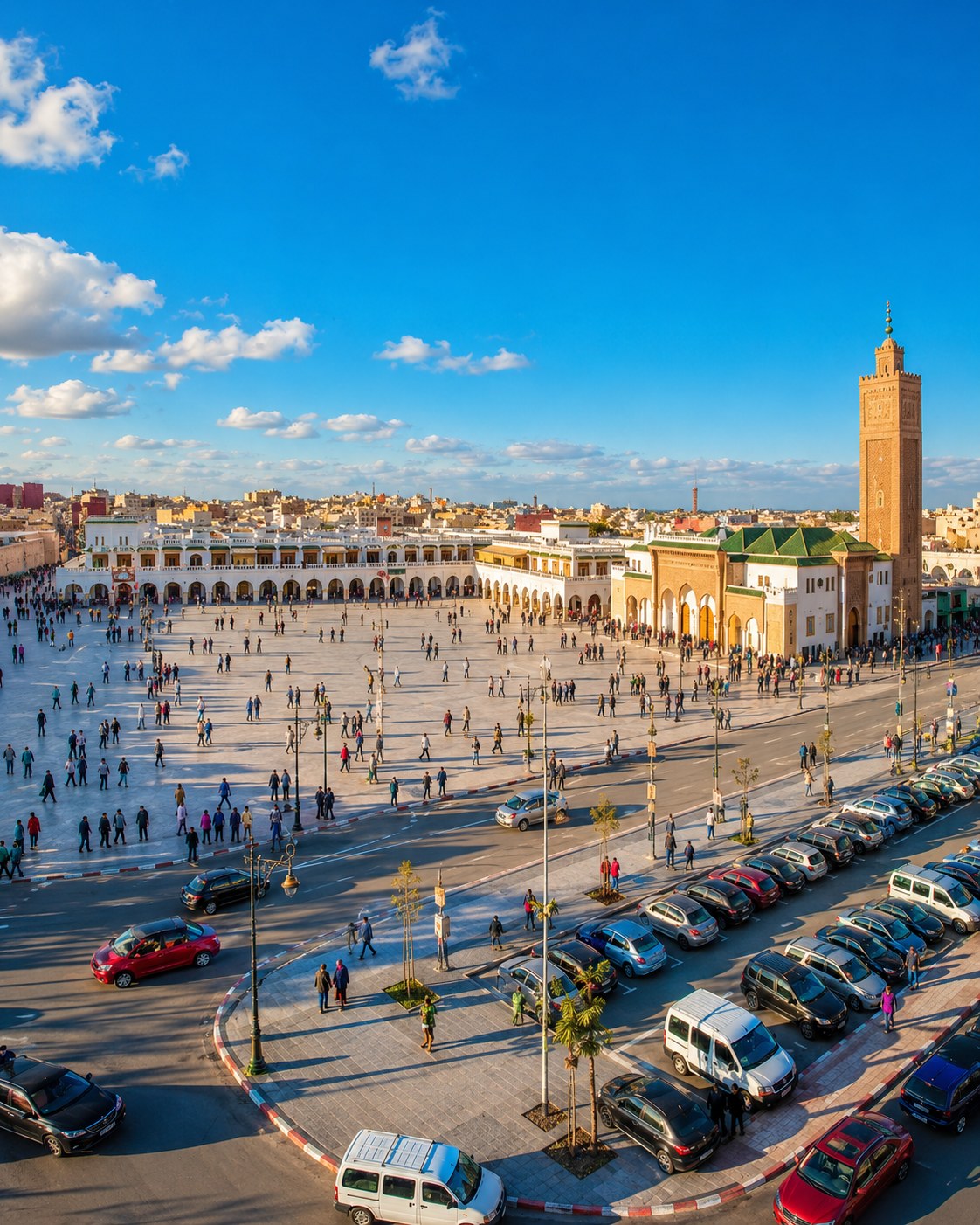
Eastern capital for medina walks, music culture and routes toward Berkane and Beni Snassen.
The inland shift is part of the value of this stop. Streets, gates, markets and cultural institutions offer a different reading from the beaches and lagoon to the north. Musical associations should be explored through named artists, institutions or current programmes rather than a promise that a particular performance will be available. Berkane and the Beni Snassen landscape can extend the regional picture, but each excursion deserves its own map and current practical information.
 Oujda Medina
 Angads
 Berkane
 Beni Snassen
 Eastern music culture
 Borderland routes
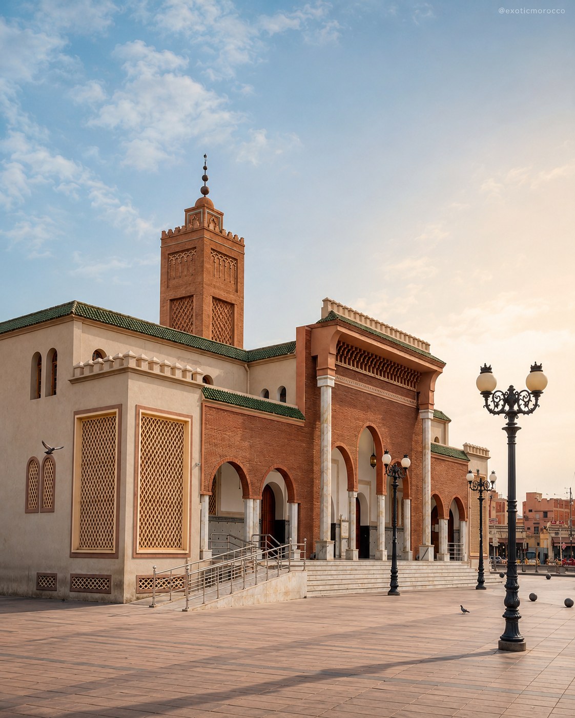 Oriental route detail
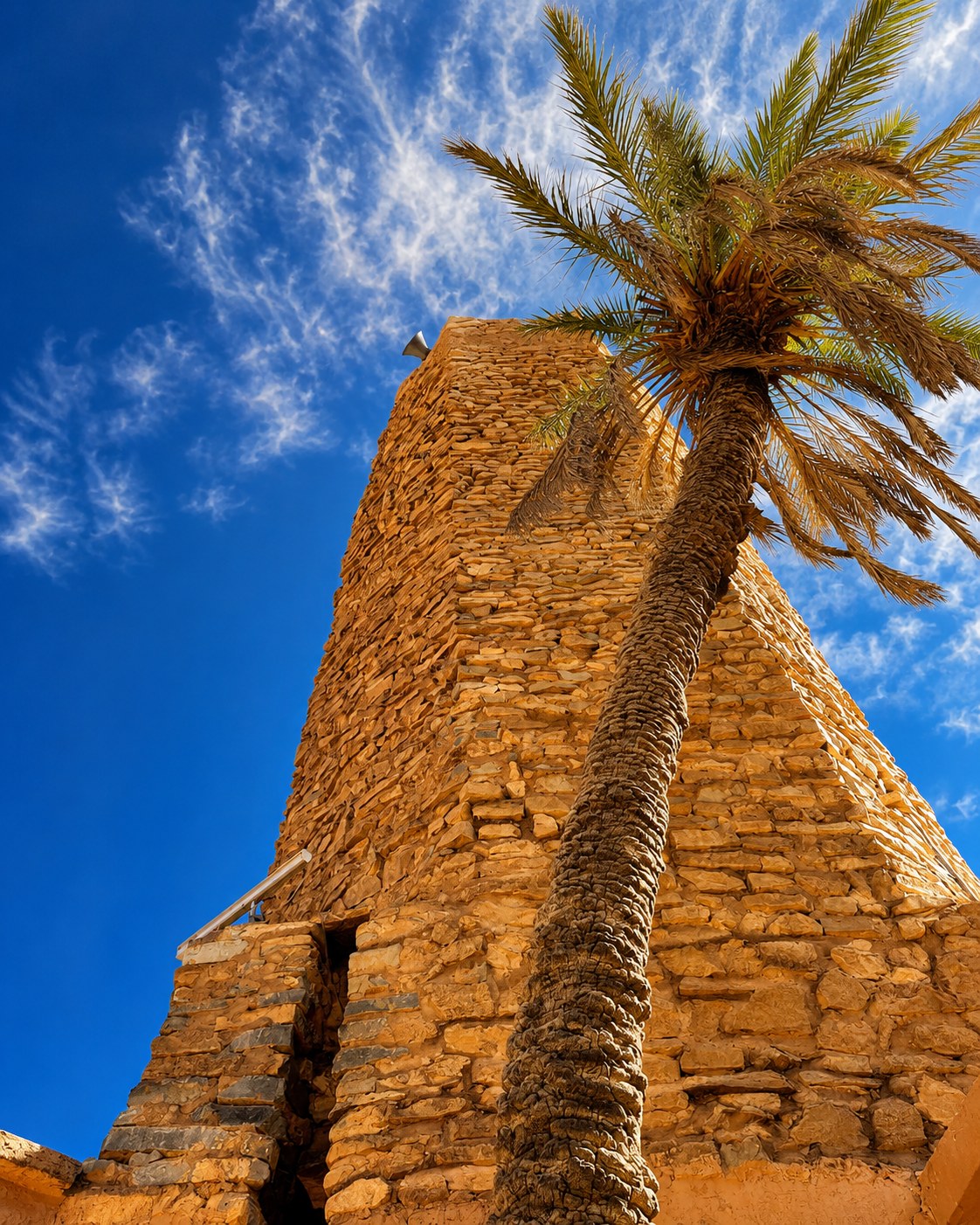 Figuig oasis
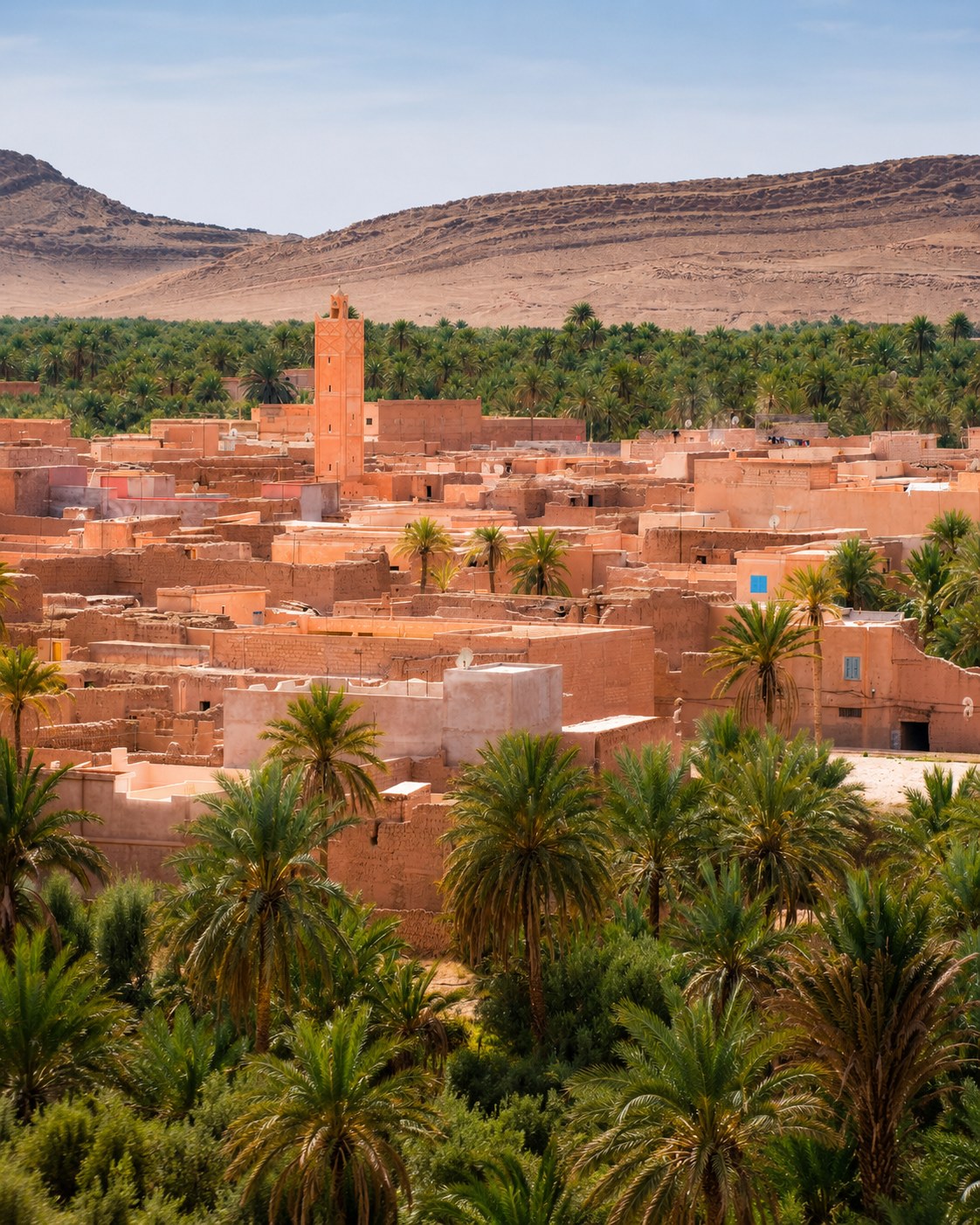 Palm groves
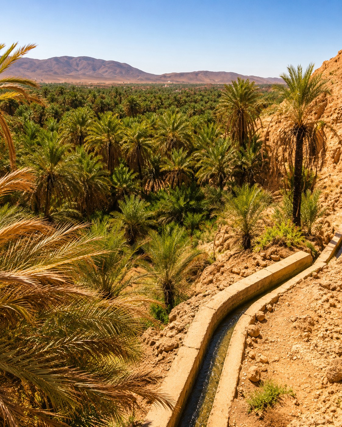 Ksour
Ksour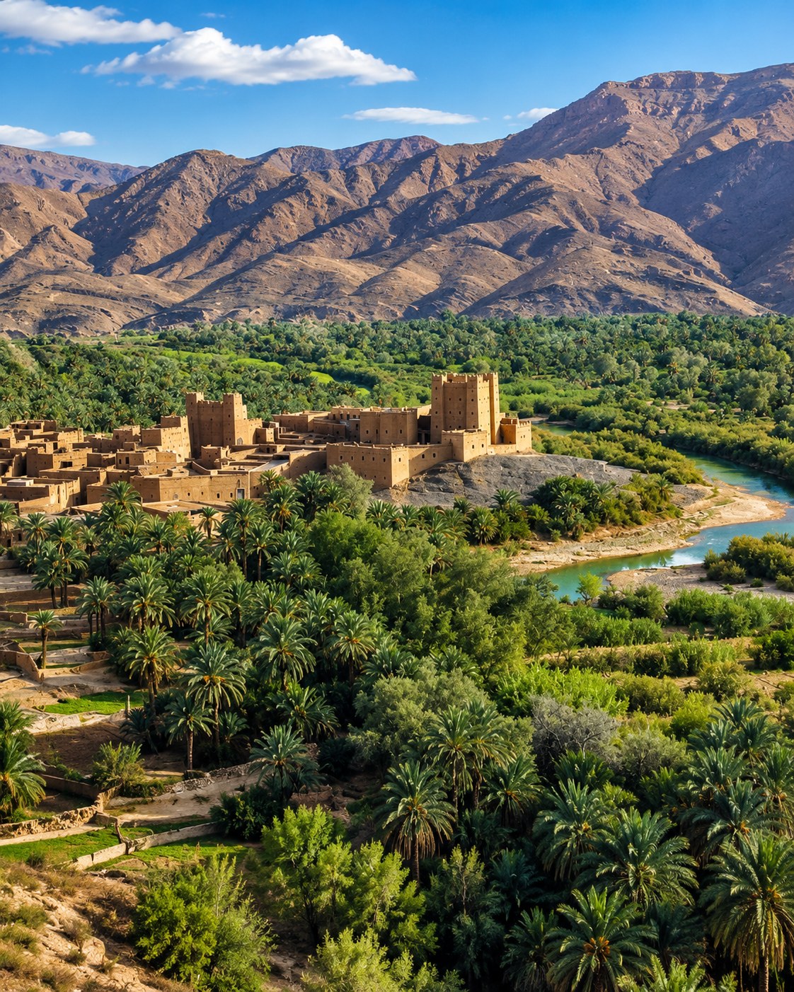 Errachidia
 Ziz Valley
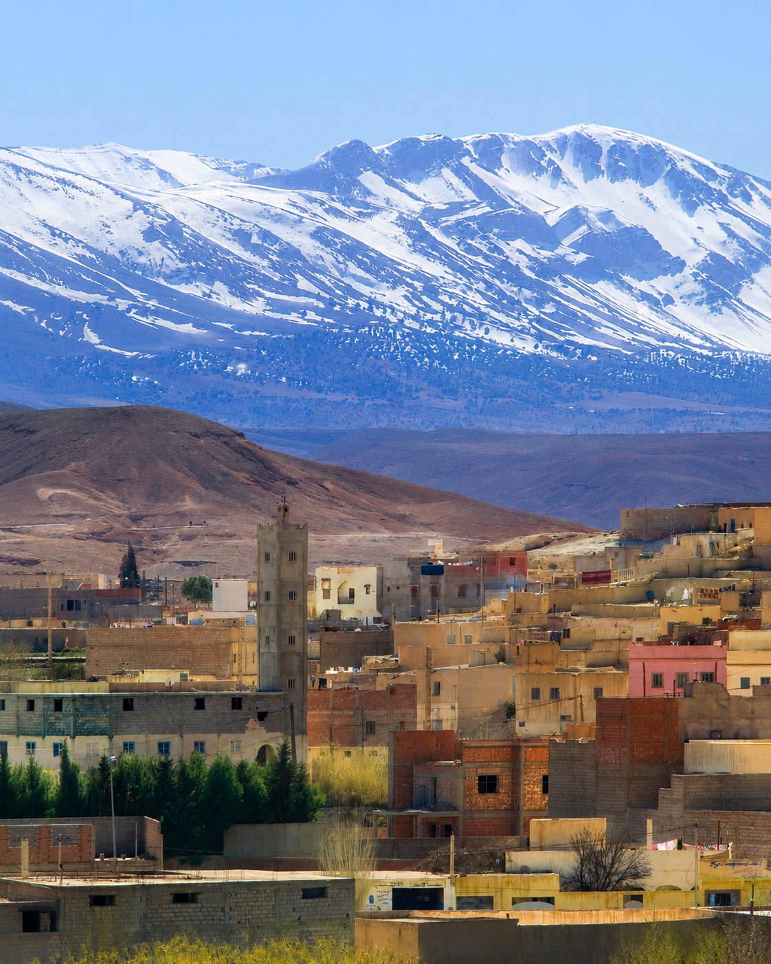 Midelt highlands
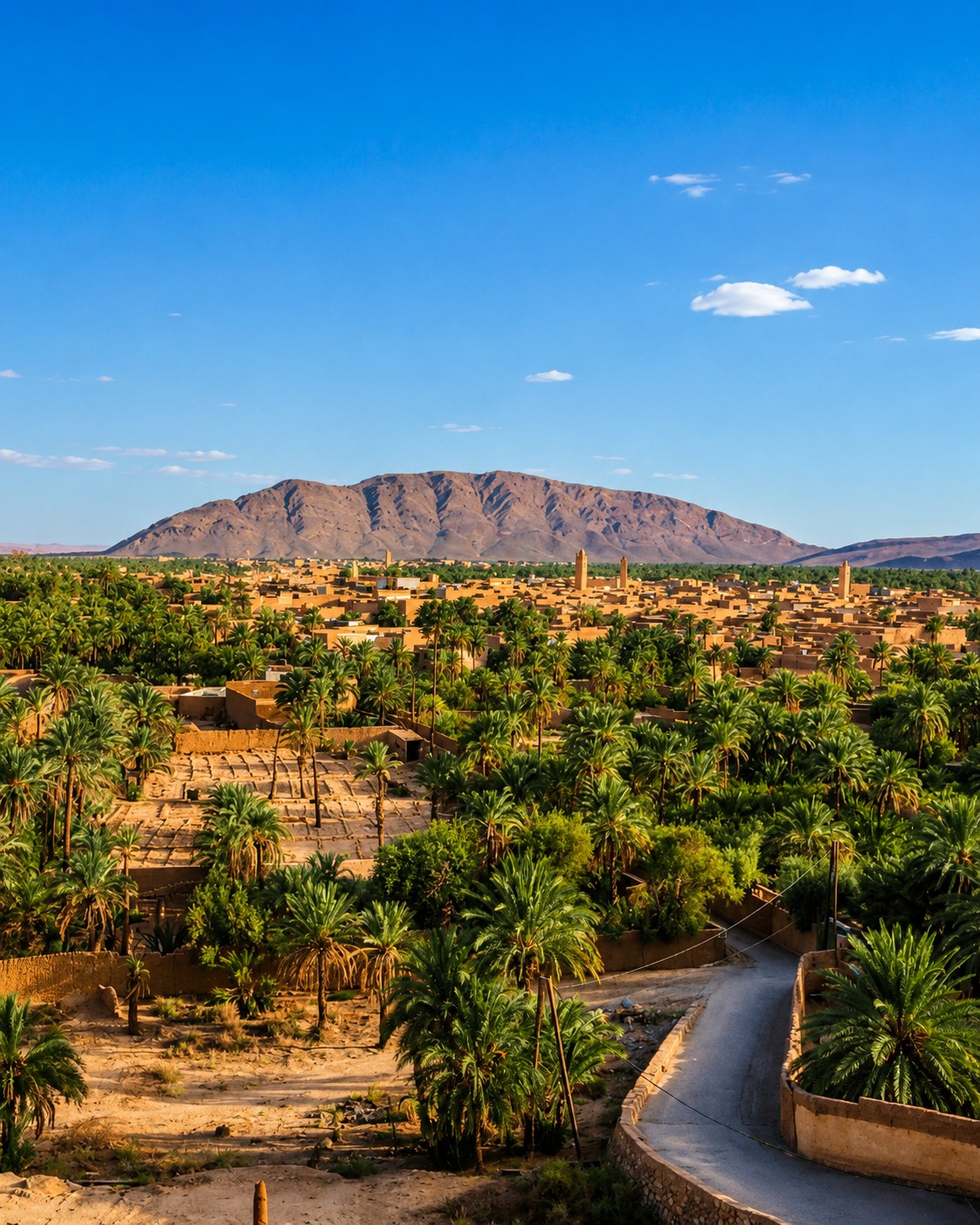 Oasis route
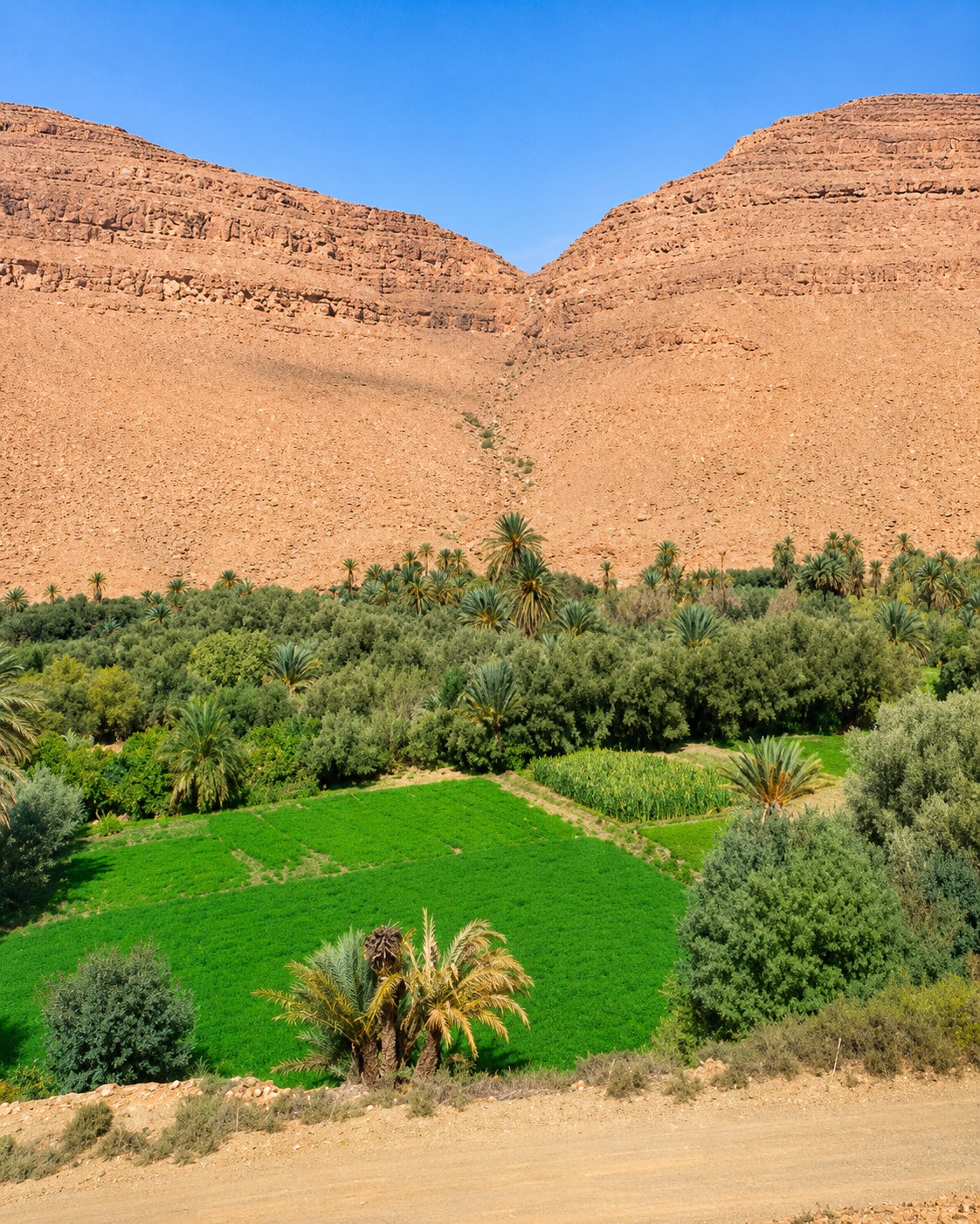
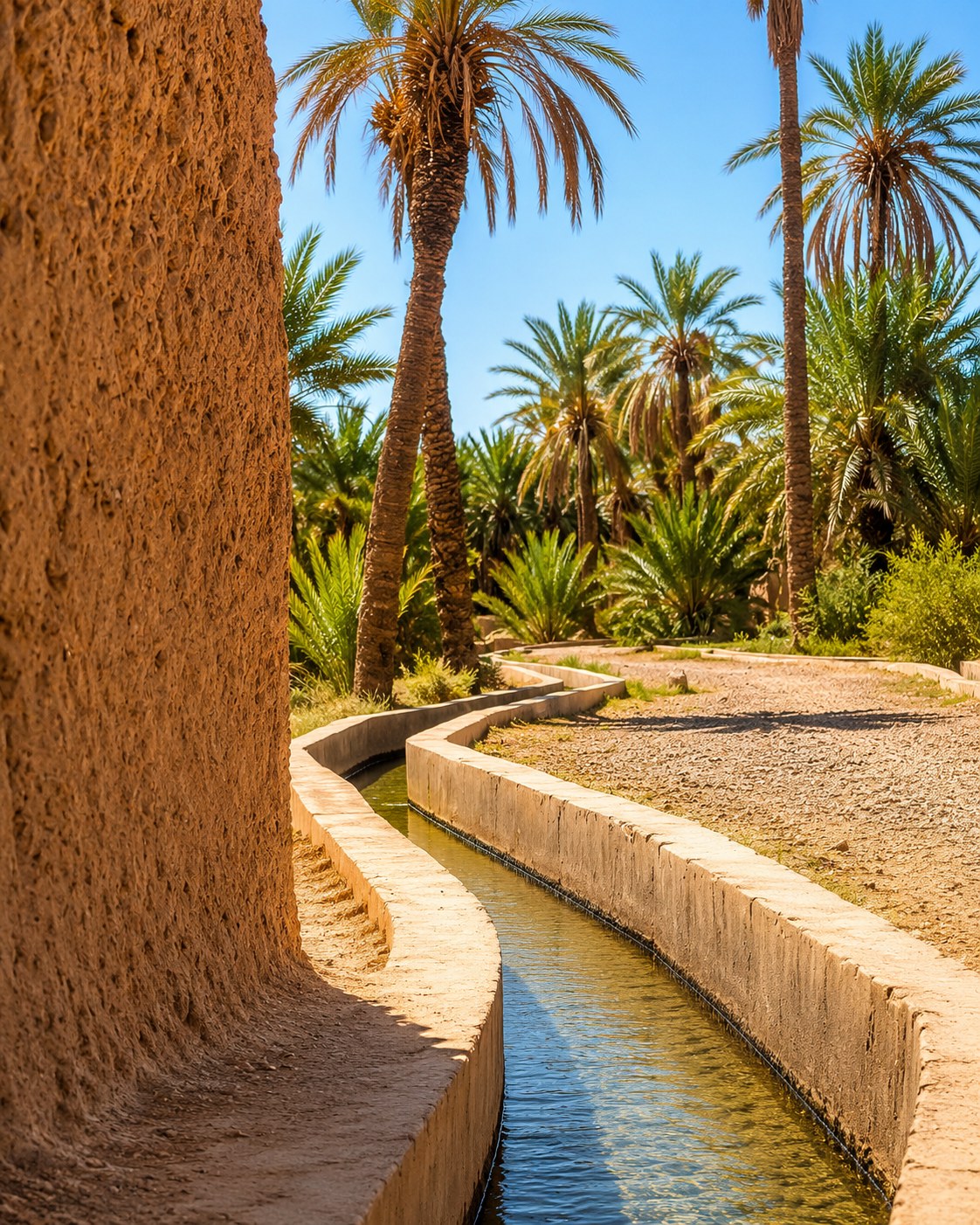
Palm groves, ksour and desert-border heritage at Morocco’s eastern edge.
Figuig closes the route with an oasis landscape of palm groves, ksour and long eastern-road connections.
Figuig is a substantial destination in its own right, not a quick coastal detour. FAO's agricultural heritage account places social water and land management at the centre of its oasis system. Read the palms together with settlement, channels, cultivation and the people maintaining them. Ask before walking through a plot or photographing work. Long onward connections towards other inland towns require deliberate planning; proximity on an overview map is not evidence of a direct or convenient route.
Small details carry the route: Strait mountains, Tétouan medina culture, Rif coves, Marchica Lagoon, Saïdia beach, Oujda routes and Figuig oasis heritage.
 Tangier Strait gateway
 Ksar Sghir coast
 Belyounech village
 Jbel Musa mountain
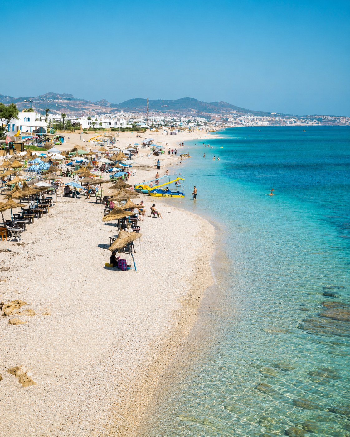 Fnideq coast
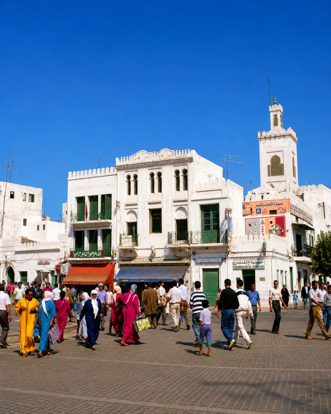 Tétouan Medina
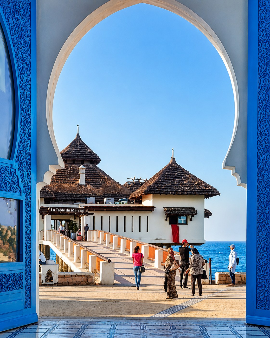 Tamuda Bay
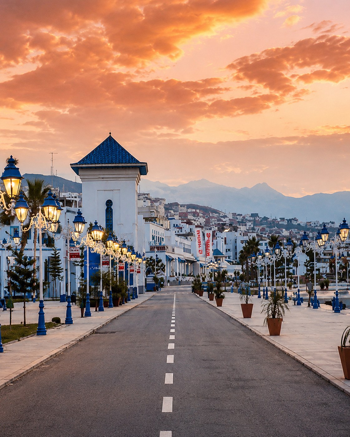 M’diq-Rincón
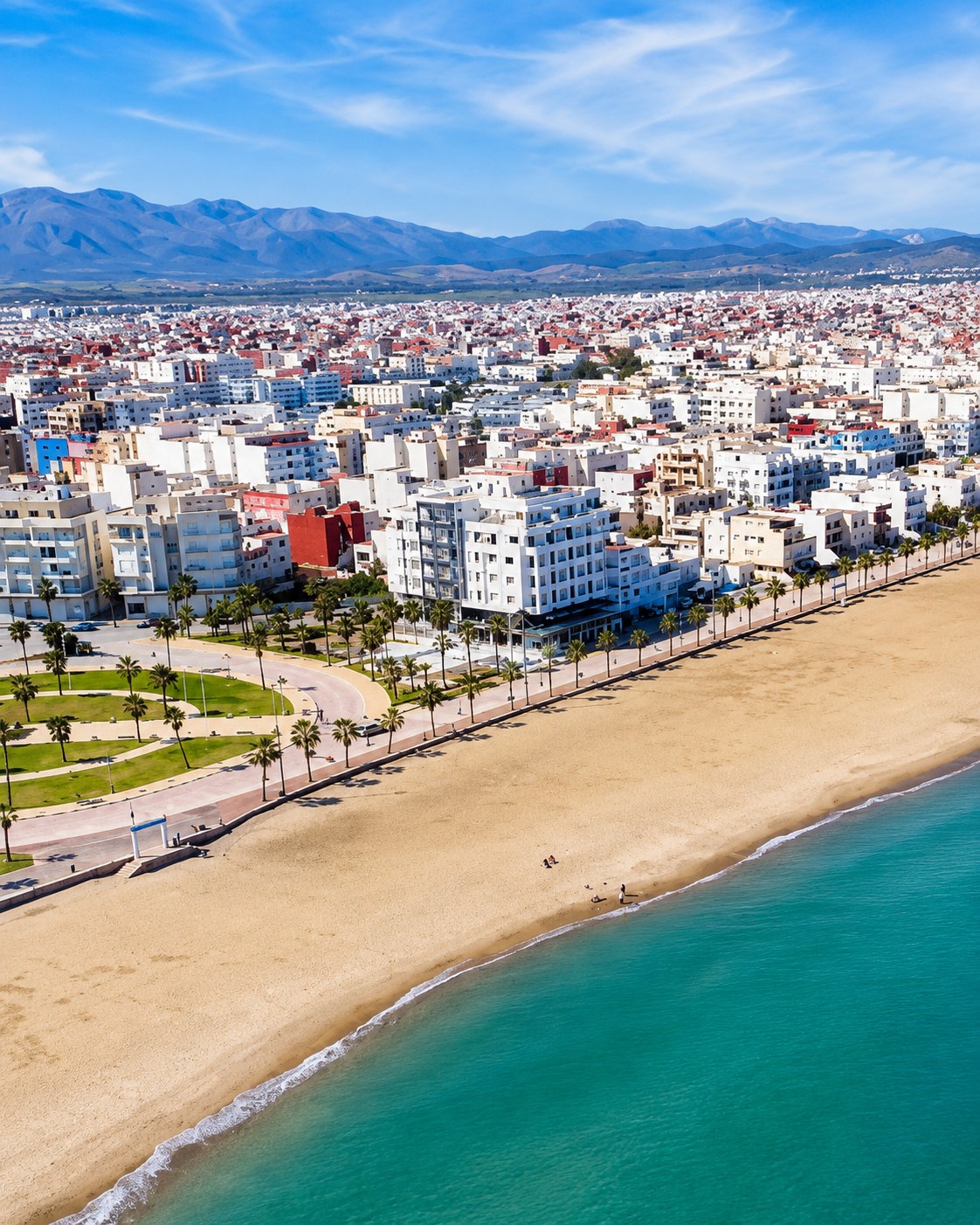 Martil seaside
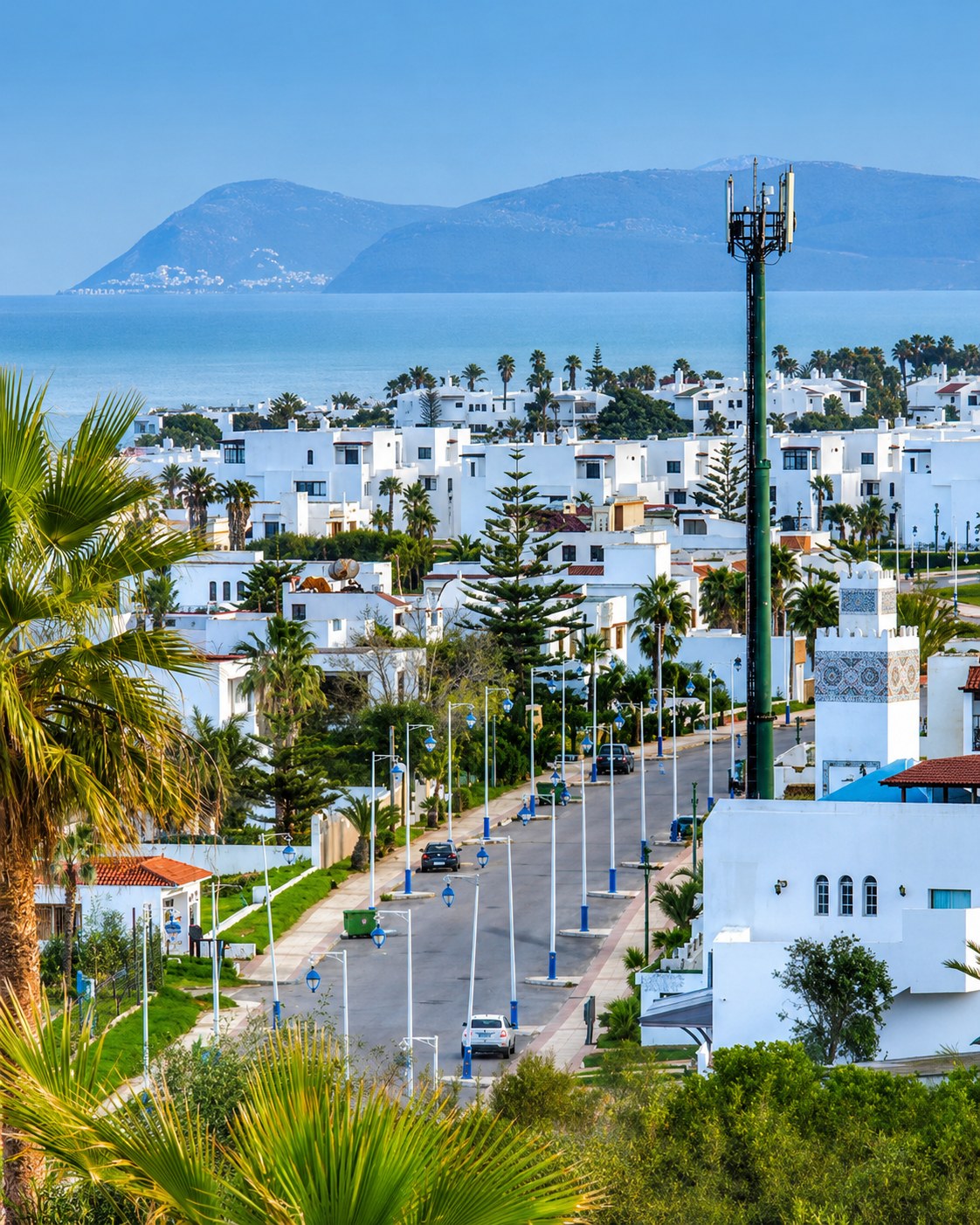 Cabo Negro
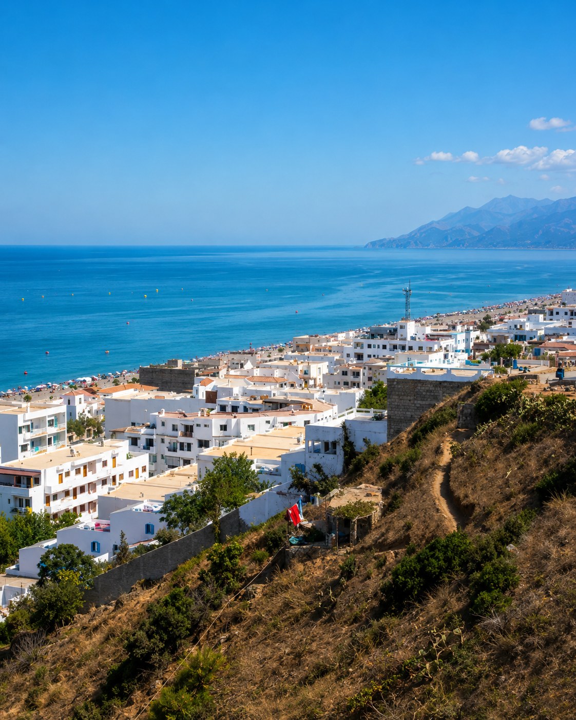 Oued Laou
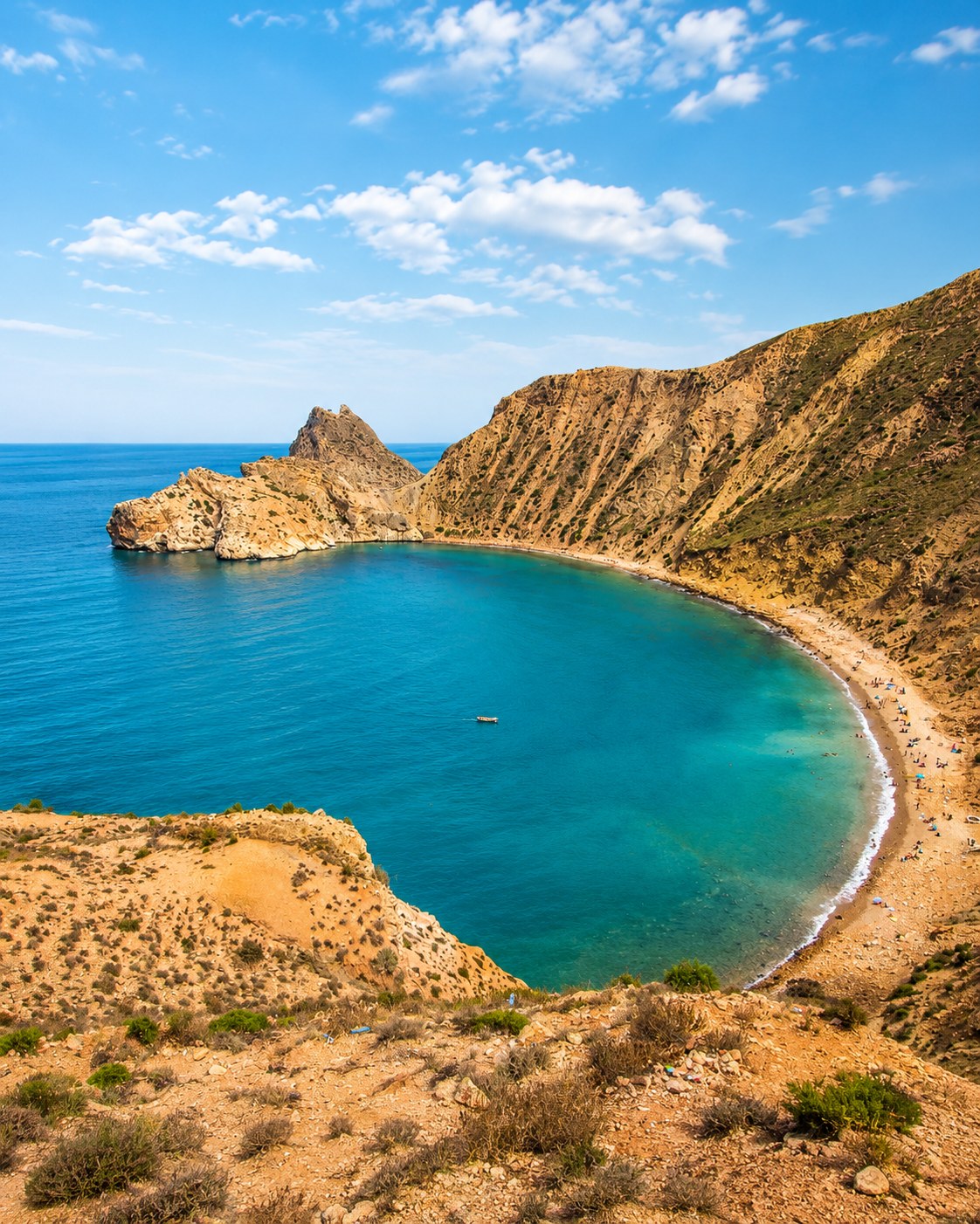 El Jebha port
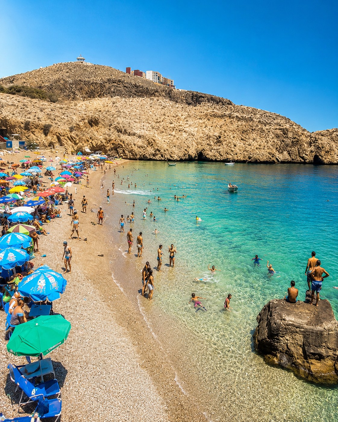 Cala Iris cove
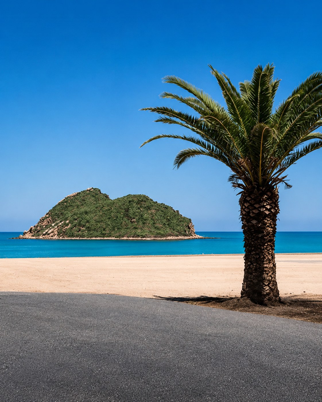 Cala Iris beach
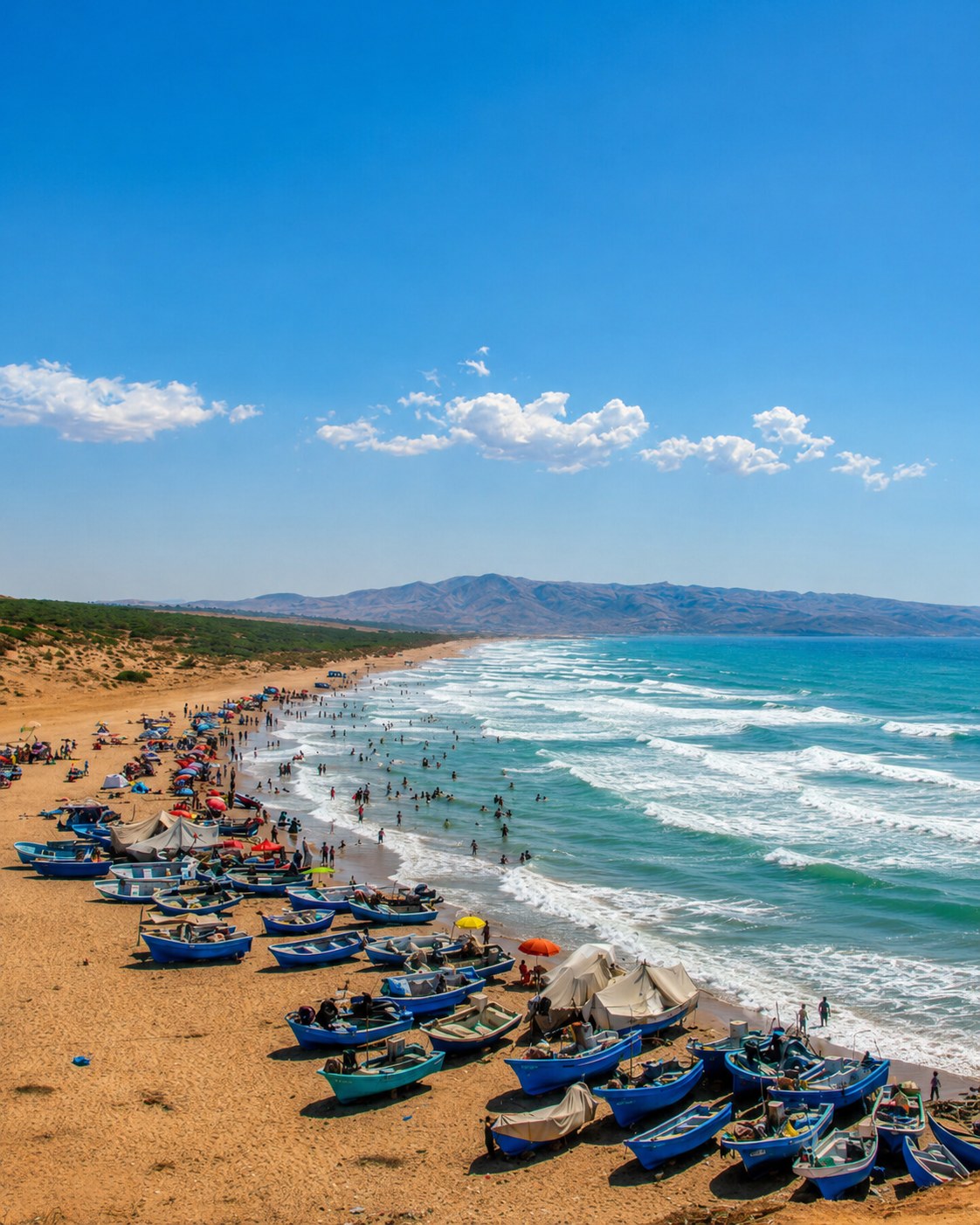 Cala Iris fishing shore
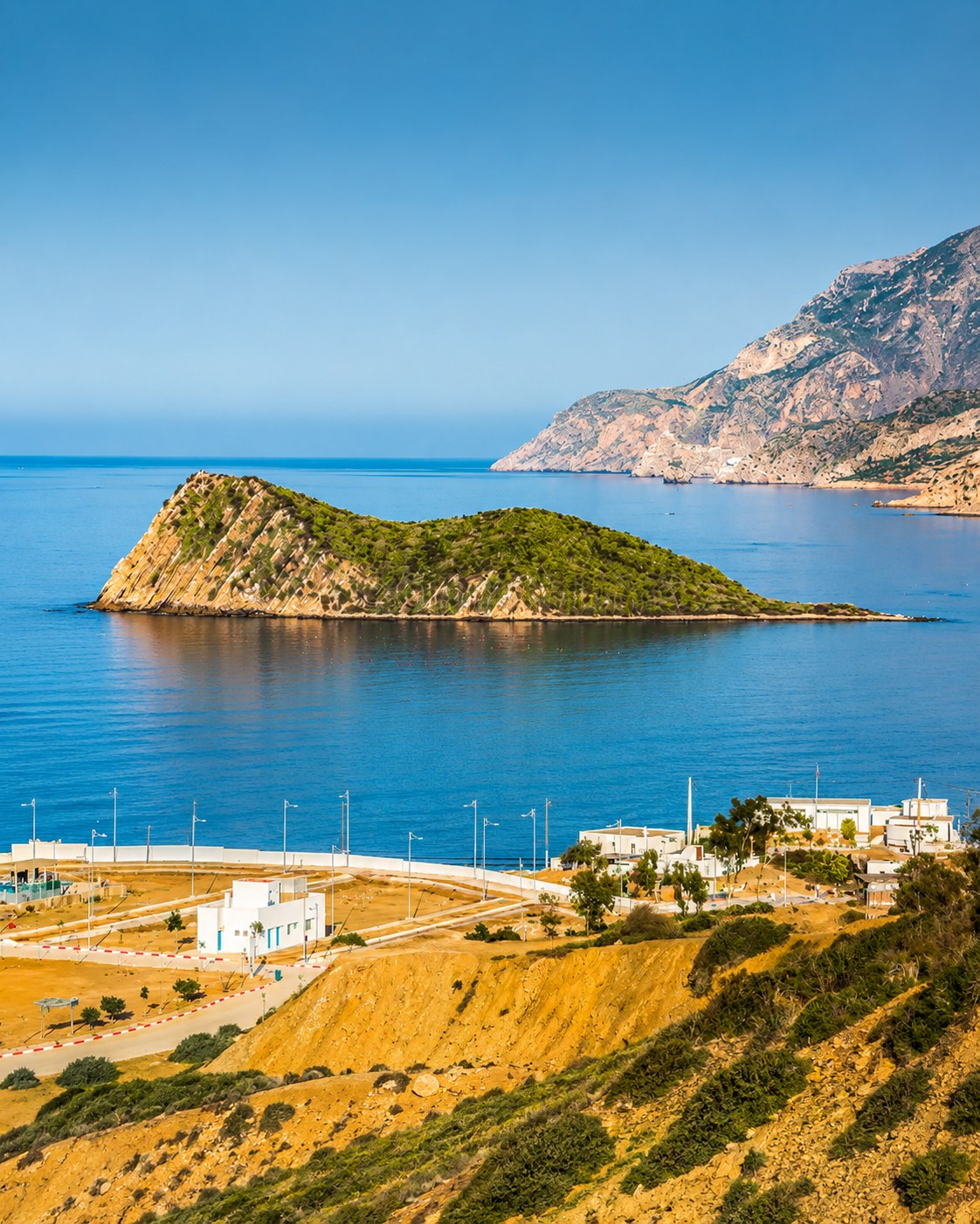 Cala Iris harbor bay
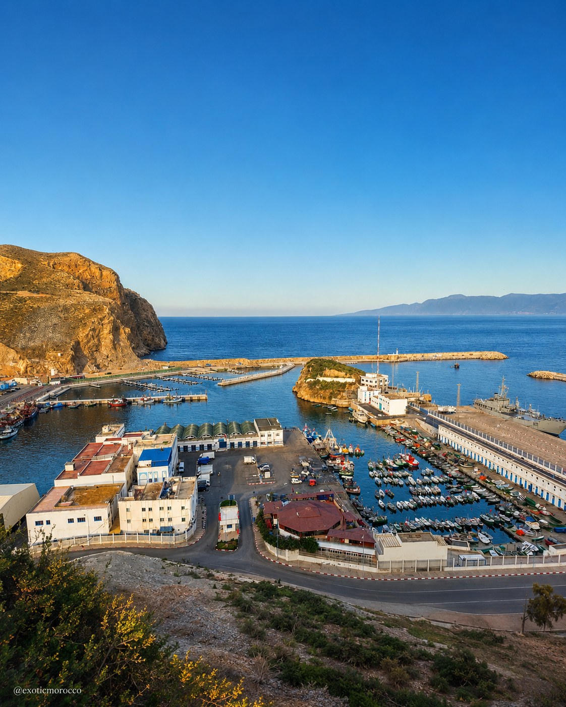 Al Hoceima bays
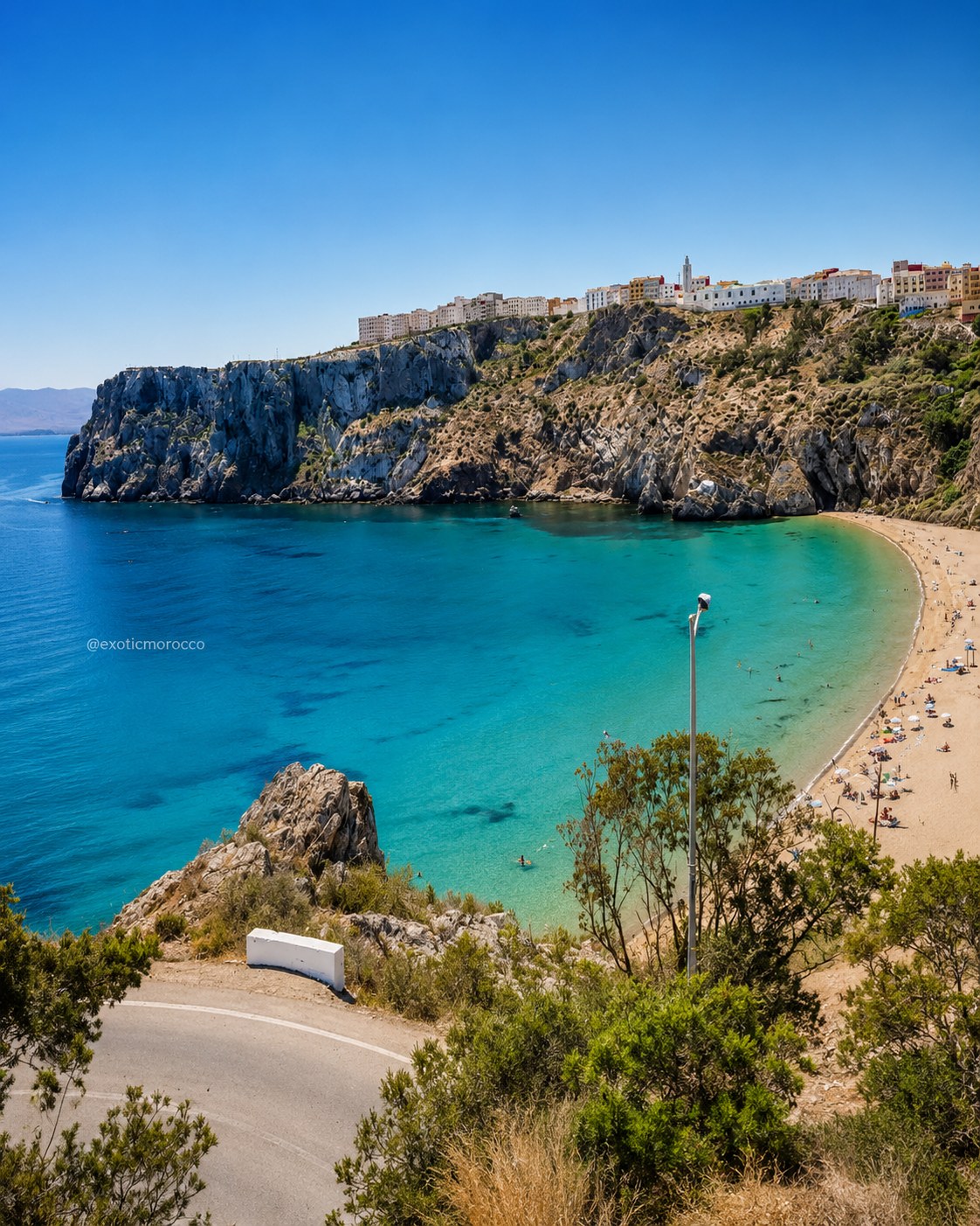 Al Hoceima National Park
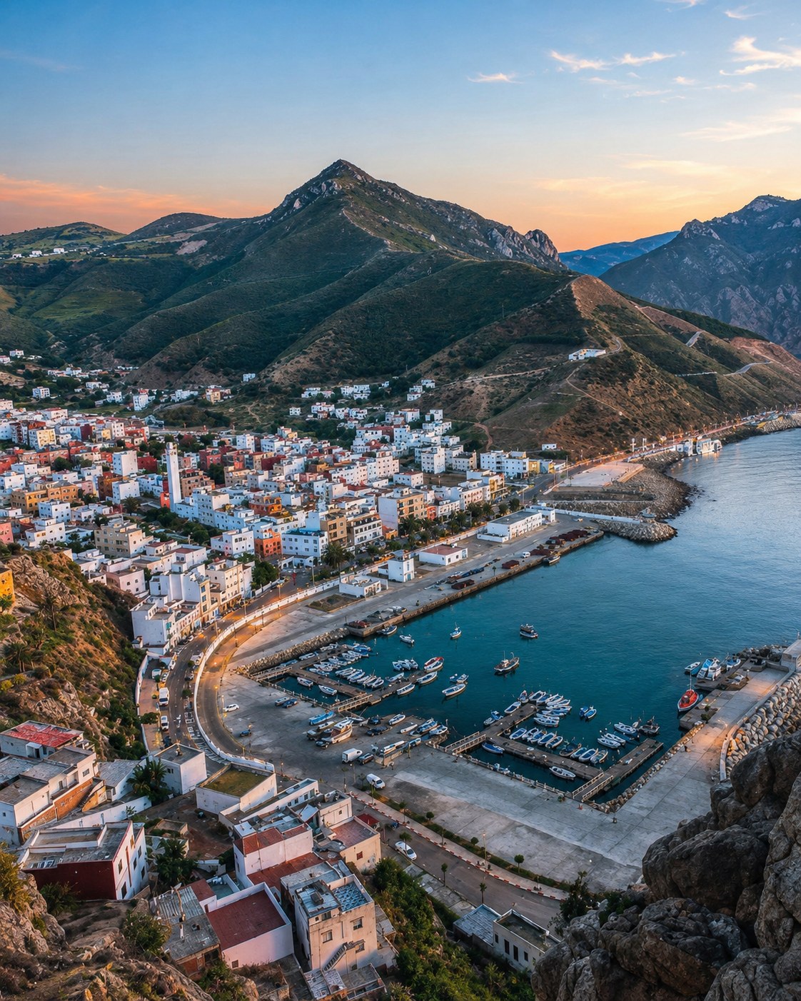 Rif cliffs
 Nador coast
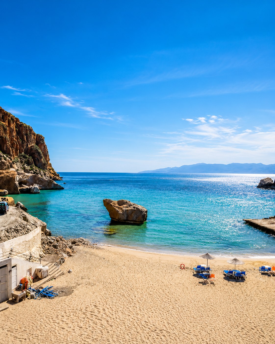 Marchica Lagoon
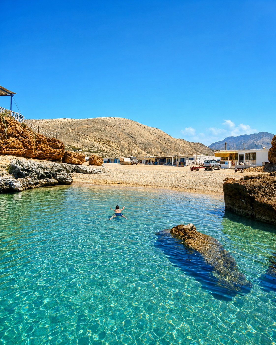 Ras El Ma
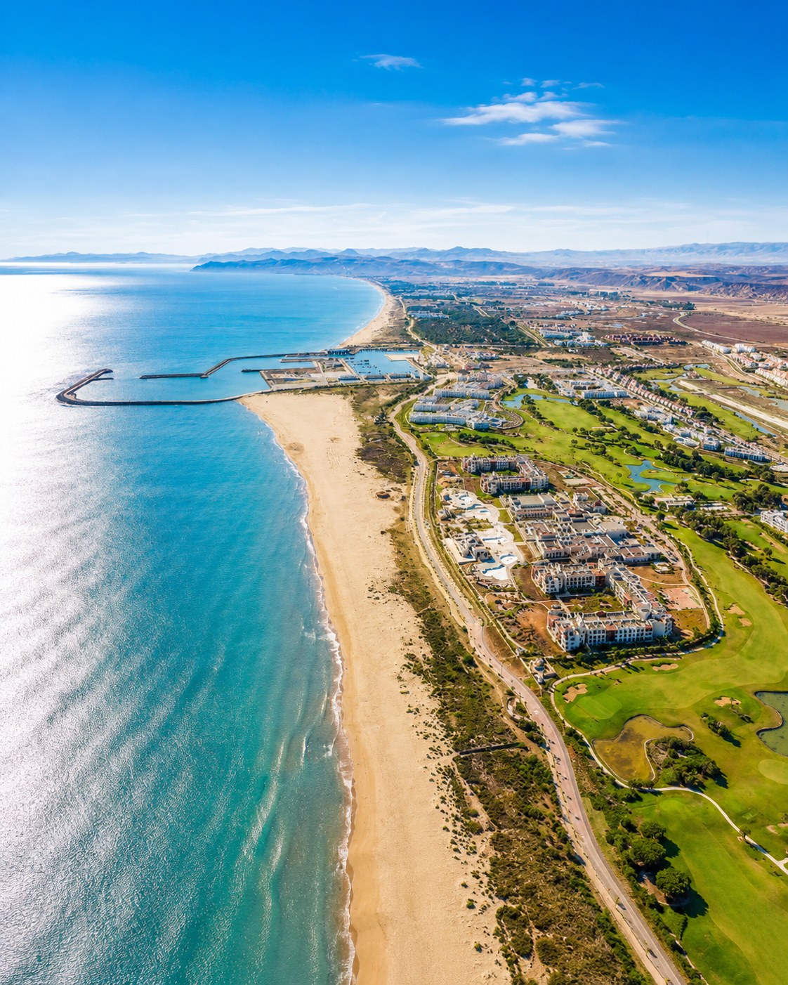 Saïdia beach
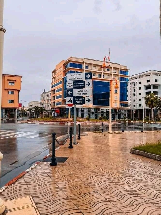 Berkane city center
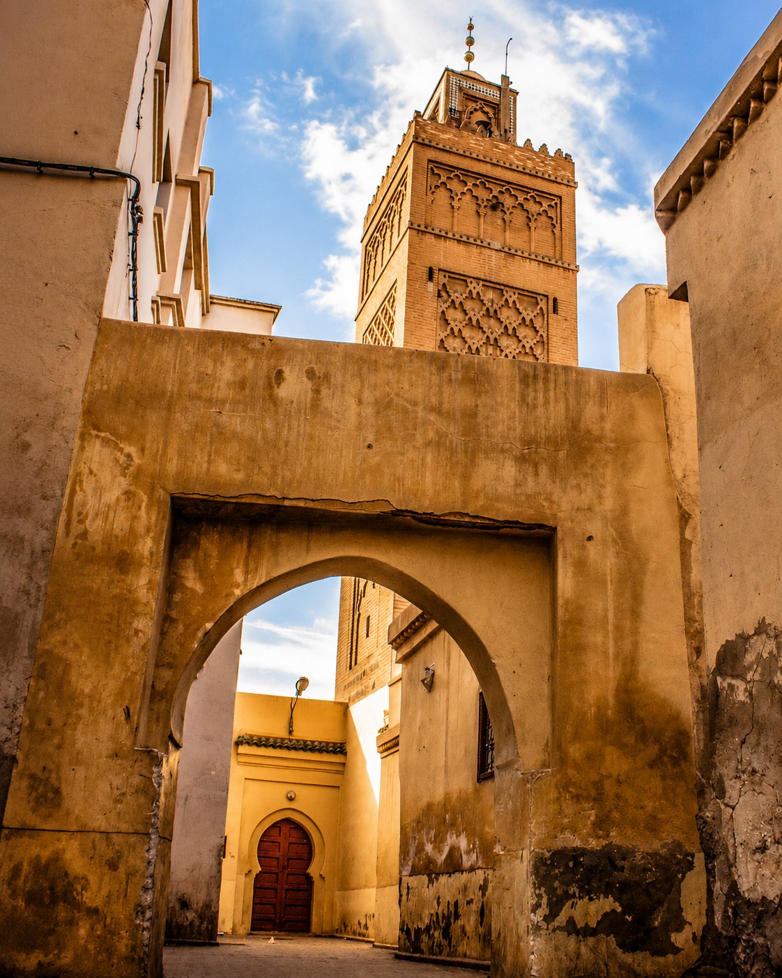 Beni Snassen foothills
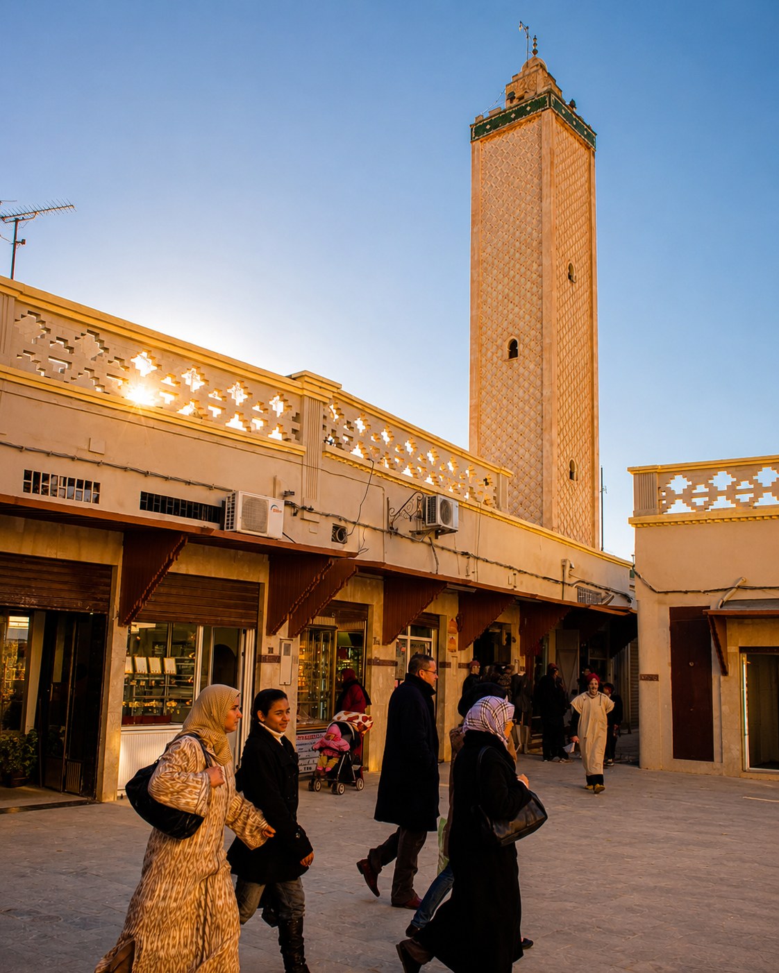 Oujda Medina
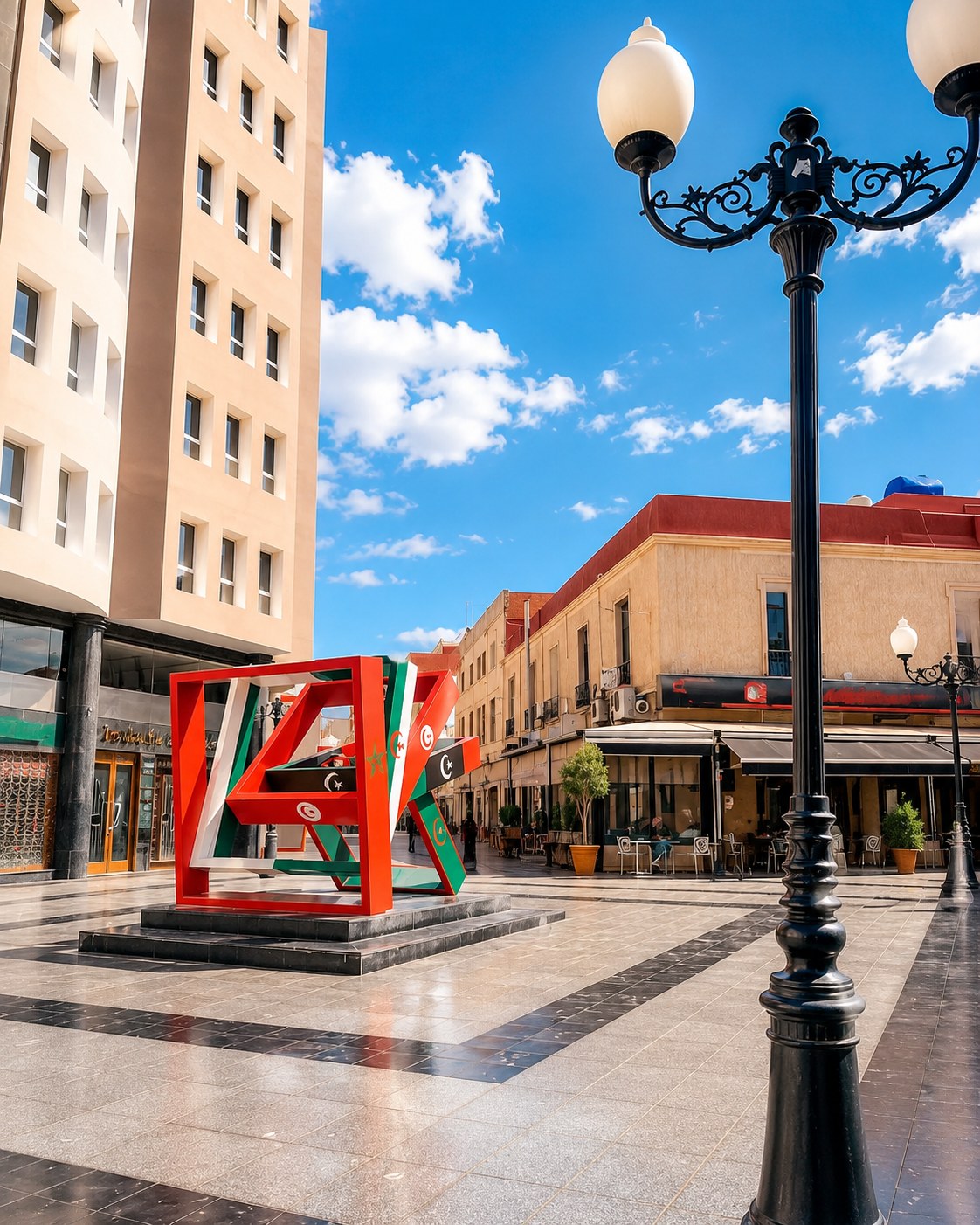 Eastern music culture
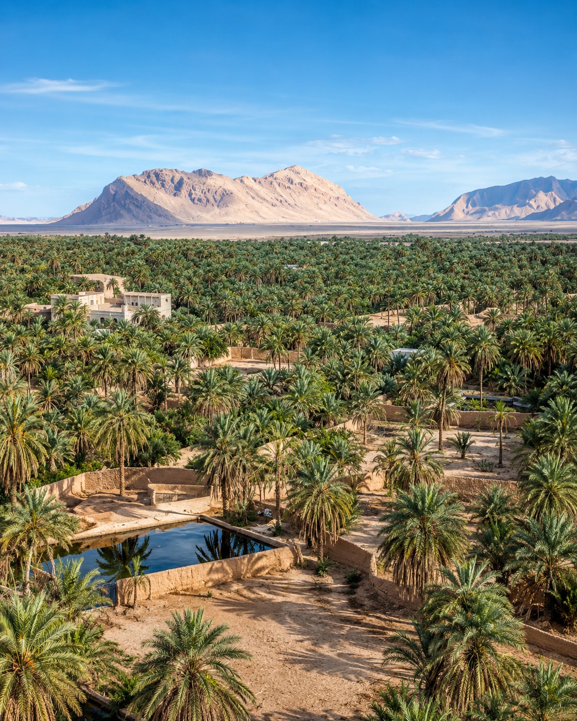 Figuig oasis
 Ziz Valley route
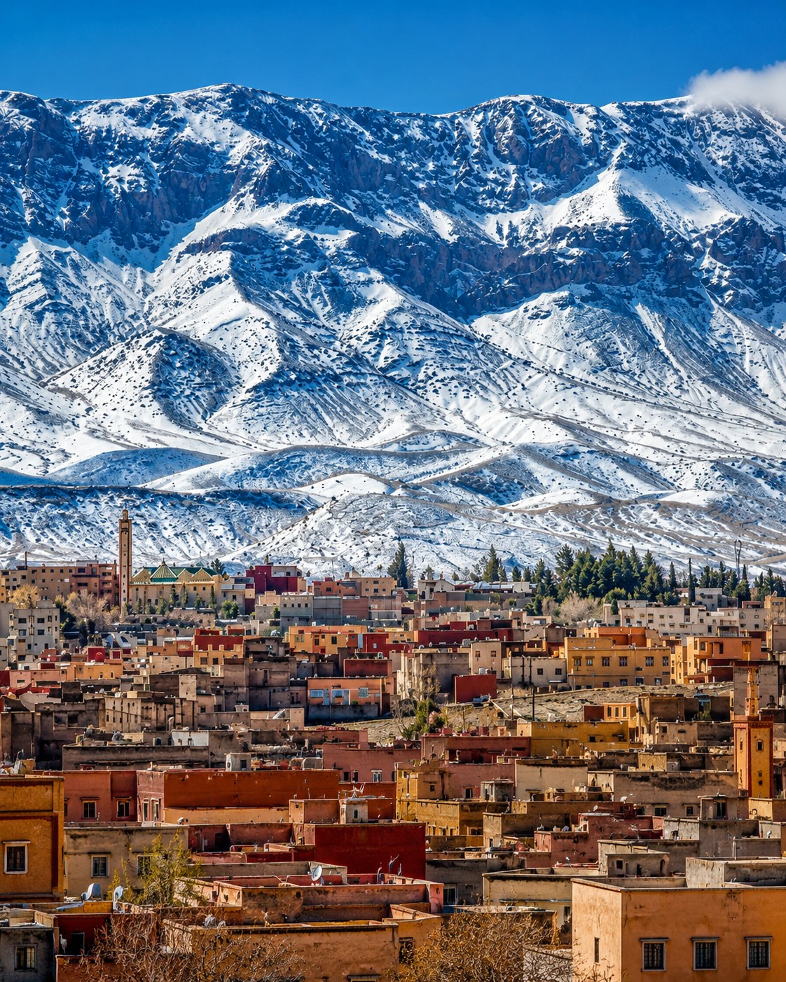 Midelt highlands
UNESCO medina fabric, Strait mountains, Rif cliffs, lagoon water, eastern city routes, palm groves and ksour form the visual grammar of this corridor.
The route changes from coast to inland without losing its logic: sea horizons, medina walls, mountain roads, oasis shade and highland crossings.
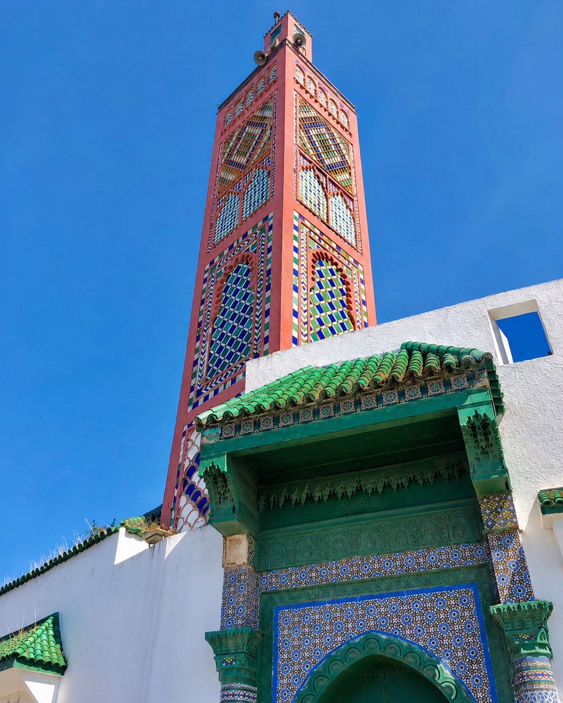
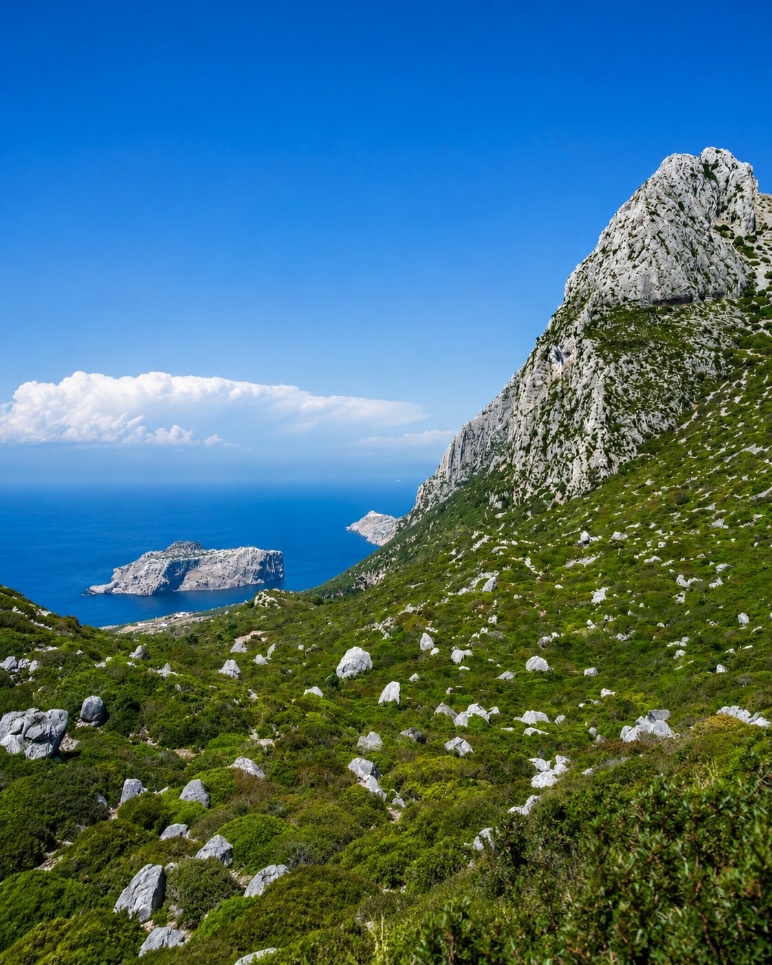
Tangier, Ksar Sghir, Belyounech and Jbel Musa frame the gateway between sea, mountain and crossing.
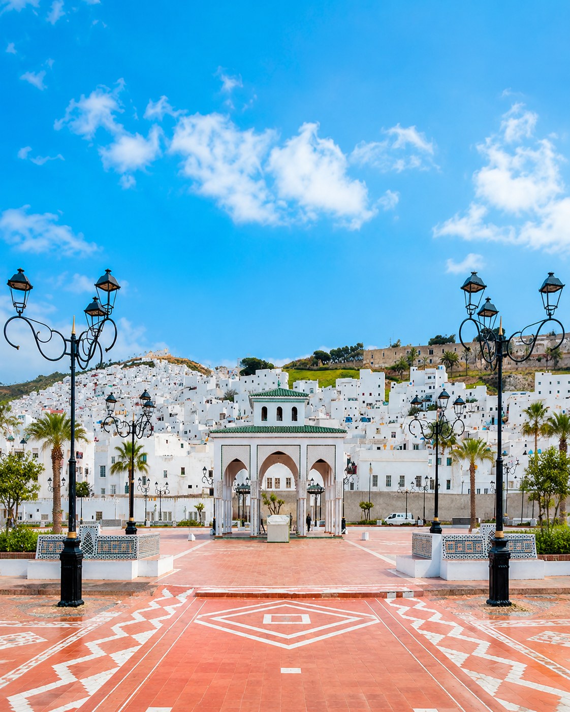
The UNESCO-listed medina gives the region a strong Andalusian-Moroccan urban layer.
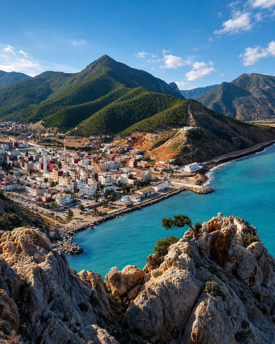
Al Hoceima and the Rif coast bring coves, cliffs, blue bays and protected nature.
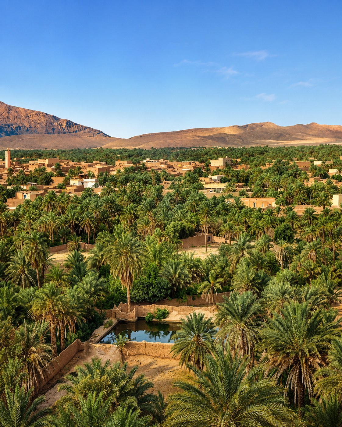
Figuig, Errachidia, the Ziz Valley and Midelt connect palm groves with highland-desert routes.
The journey can be shortened into coastal, Rif or inland segments, but the route logic remains clear: gateway, medina, bay, lagoon, eastern city and oasis.
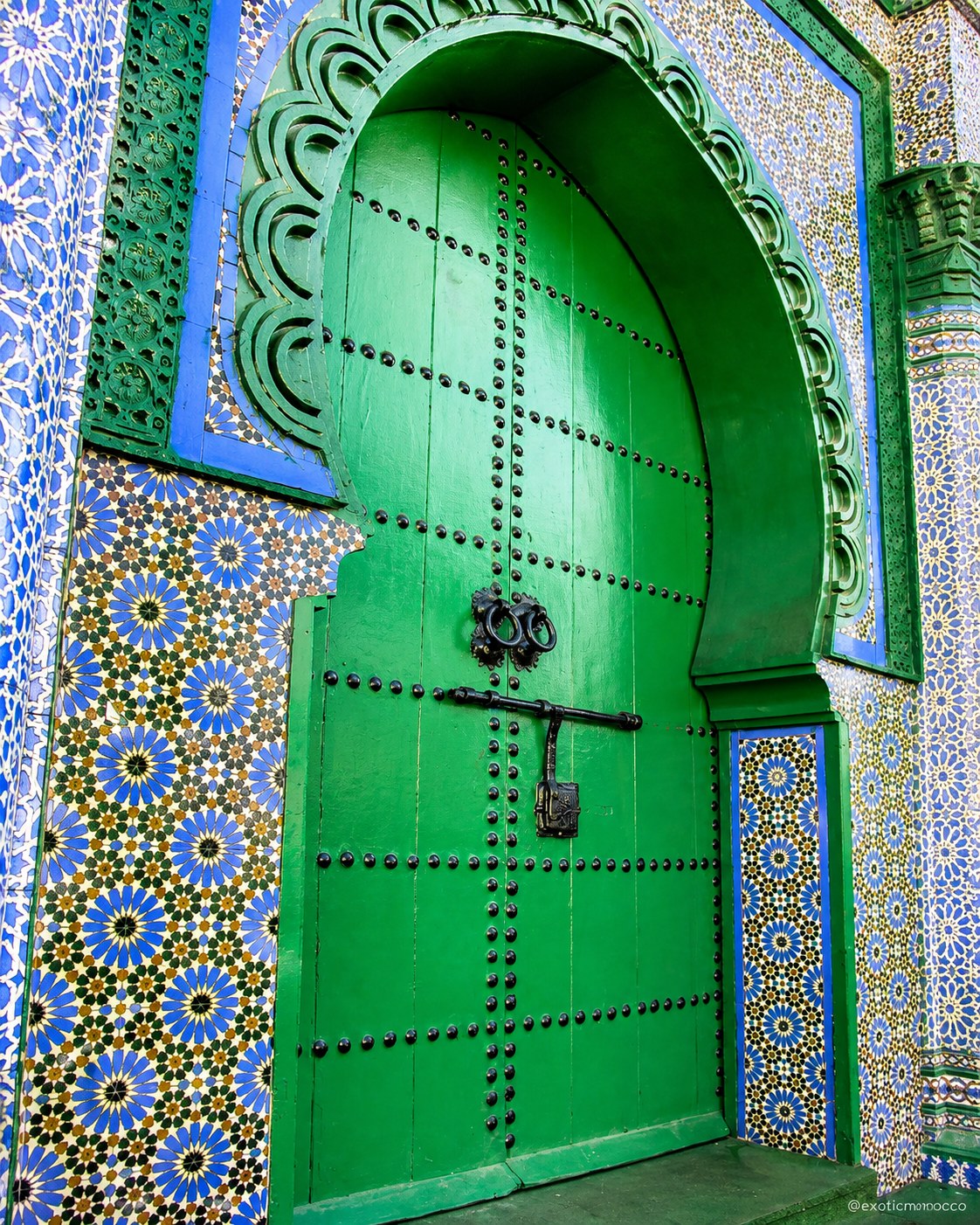 TangierStrait gateway
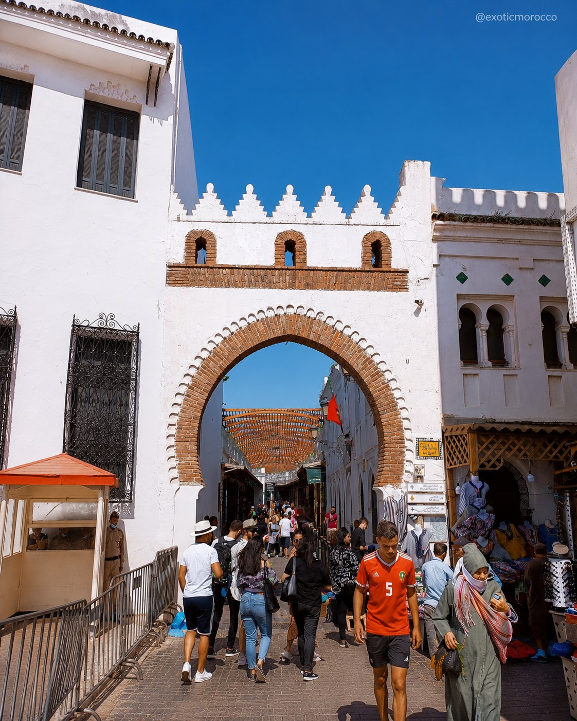 TétouanUNESCO medina and coast
 Al HoceimaRif bays and cliffs
 FiguigOasis route link
A few considered choices make the connections between these places more useful.
A Strait and Tétouan journey, an Al Hoceima coastal stay, and a Nador–Oujda exploration are different starting points. Figuig adds a much longer inland commitment. Choose a cluster based on the question that interests you, then assess transfers using current transport information. Keeping one base for longer can create space for local encounters that would be lost in a chain of arrivals and departures.
A Strait viewpoint, a Mediterranean cove and a lagoon do not offer the same conditions or activities. Wind, access and seasonal demand change the experience. Check the actual location and local advice before planning shore walks or water activities. Inland, water appears through cultivation and settlement rather than a blue horizon; that change is a useful thread connecting the coast to the oasis without making them seem environmentally alike.
A broad regional label can hide differences in language, livelihood and historical experience. Ask people how they describe their town or the work you are seeing. Use a named museum, source or guide to place a building or musical practice in context. Small, precise encounters can reveal more than a long list of cultural adjectives. The Language & Everyday Life page provides a useful beginning for respectful conversation.
Historical and geographical references reviewed in September 2026. Route pairings and looking suggestions are Exotic Morocco editorial guidance. Check current access and transport arrangements before travelling. Existing regional library imagery is retained; photographs and illustrations do not establish present-day access or conditions.
Continue into the individual place guides for local context, landmarks and practical orientation.
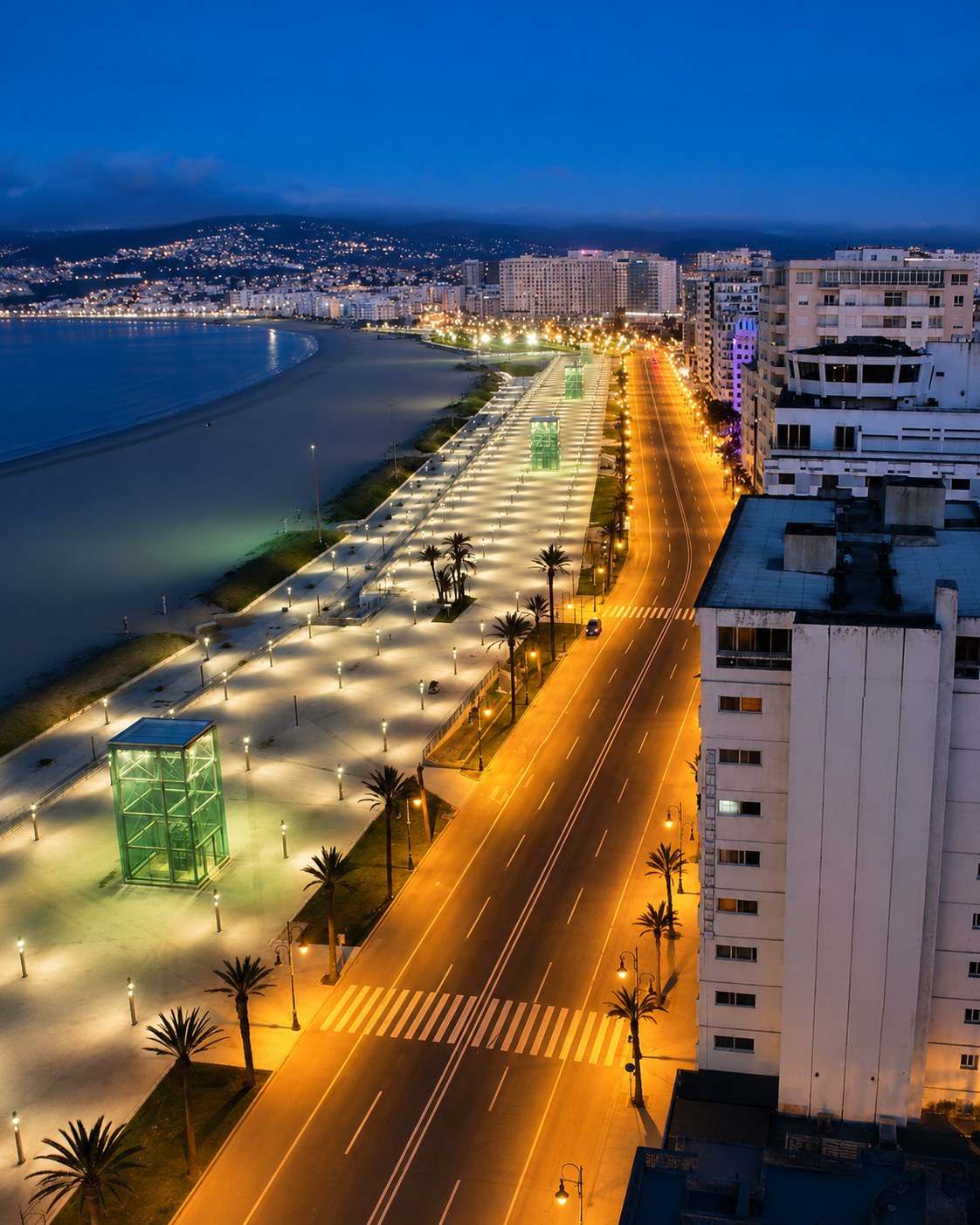
Begin at Morocco’s Strait gateway, where Atlantic and Mediterranean horizons meet.
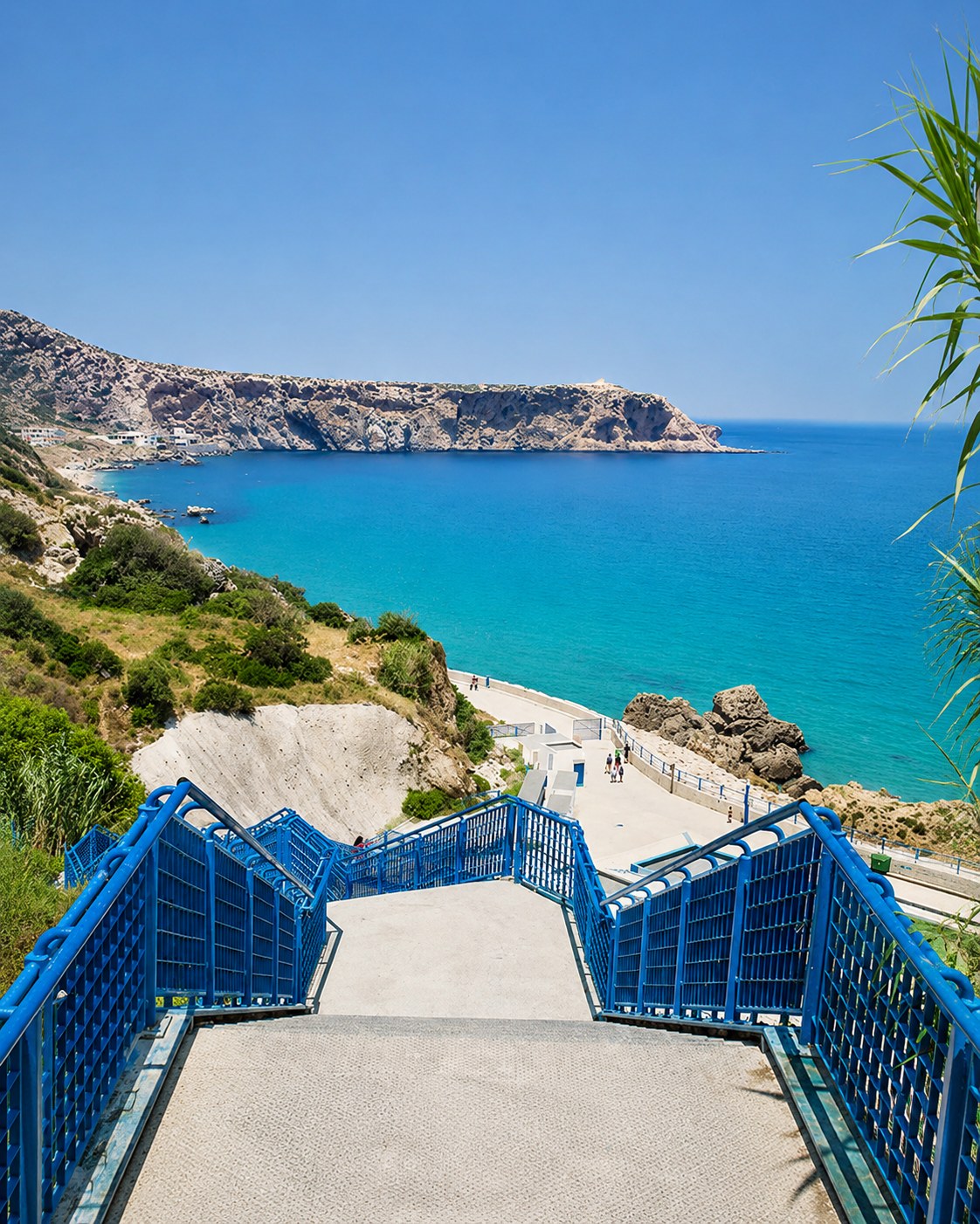
Follow the small historic coastal town between Tangier and Ceuta.
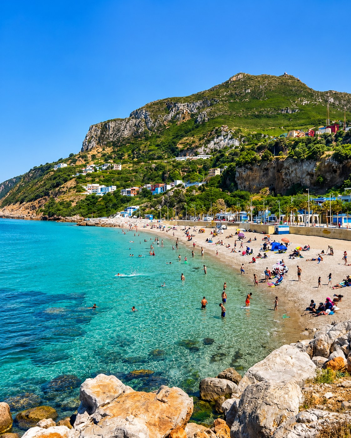
Read the Strait through mountain, village and sea views.
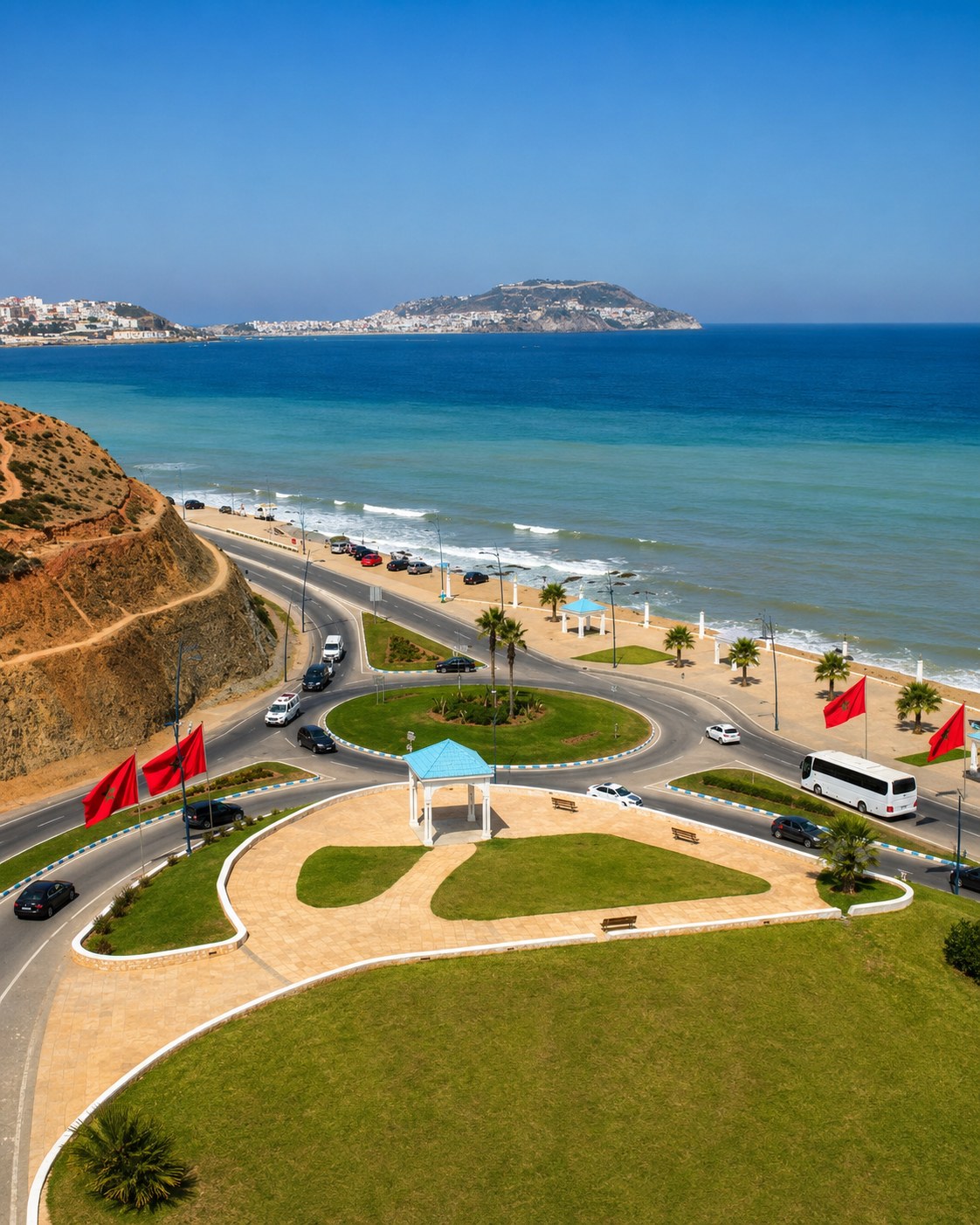
Continue along the northern coast close to Ceuta.
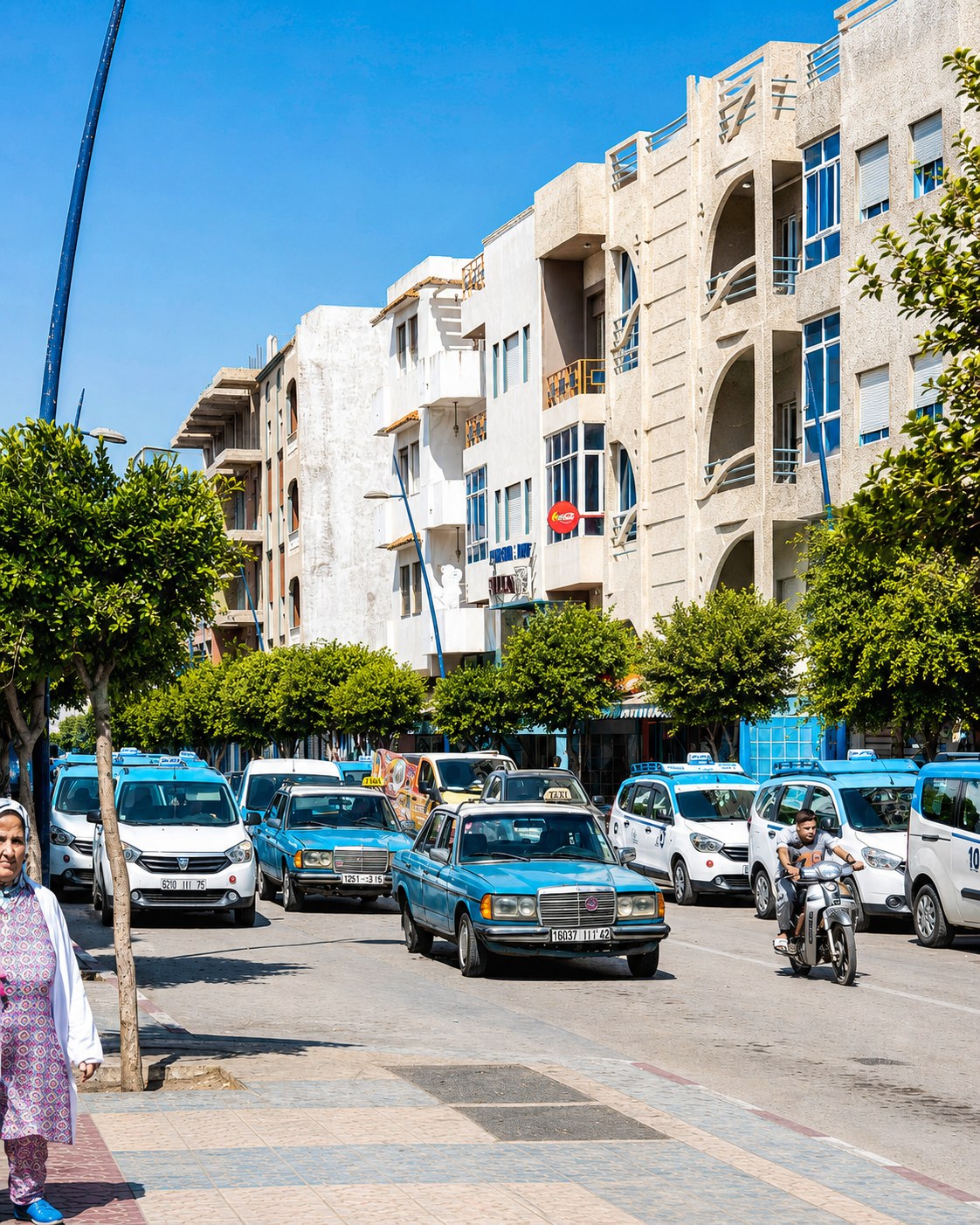
Use this resort zone for Tamuda Bay and the Tétouan coast.
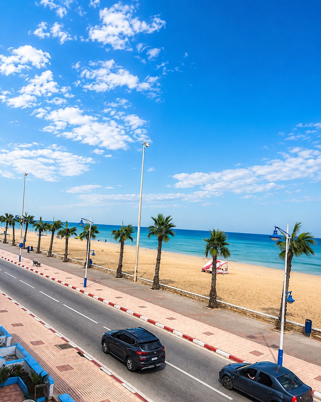
Pause at a Tétouan-area Mediterranean seaside town.
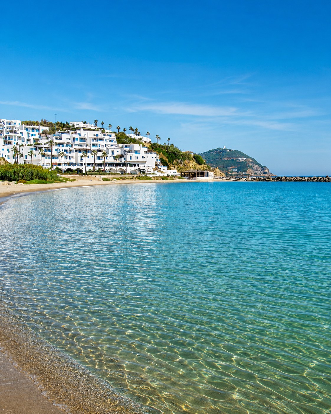
Trace the beach and resort landscape between M’diq and Martil.
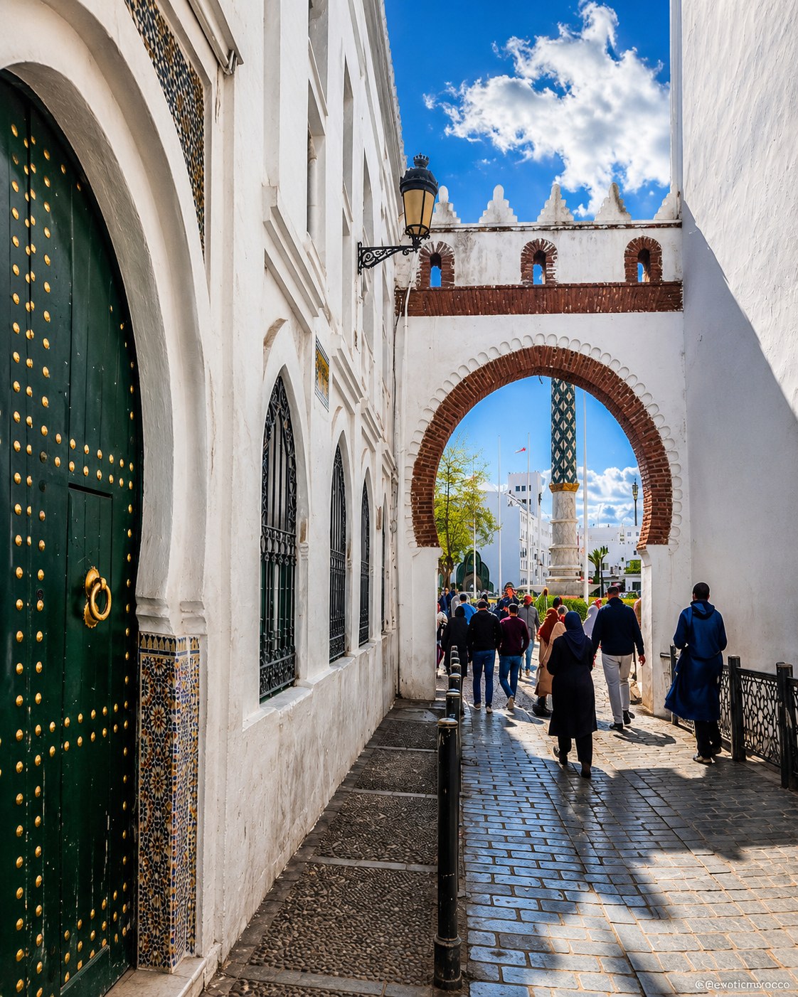
Explore the UNESCO medina behind the Mediterranean coast.
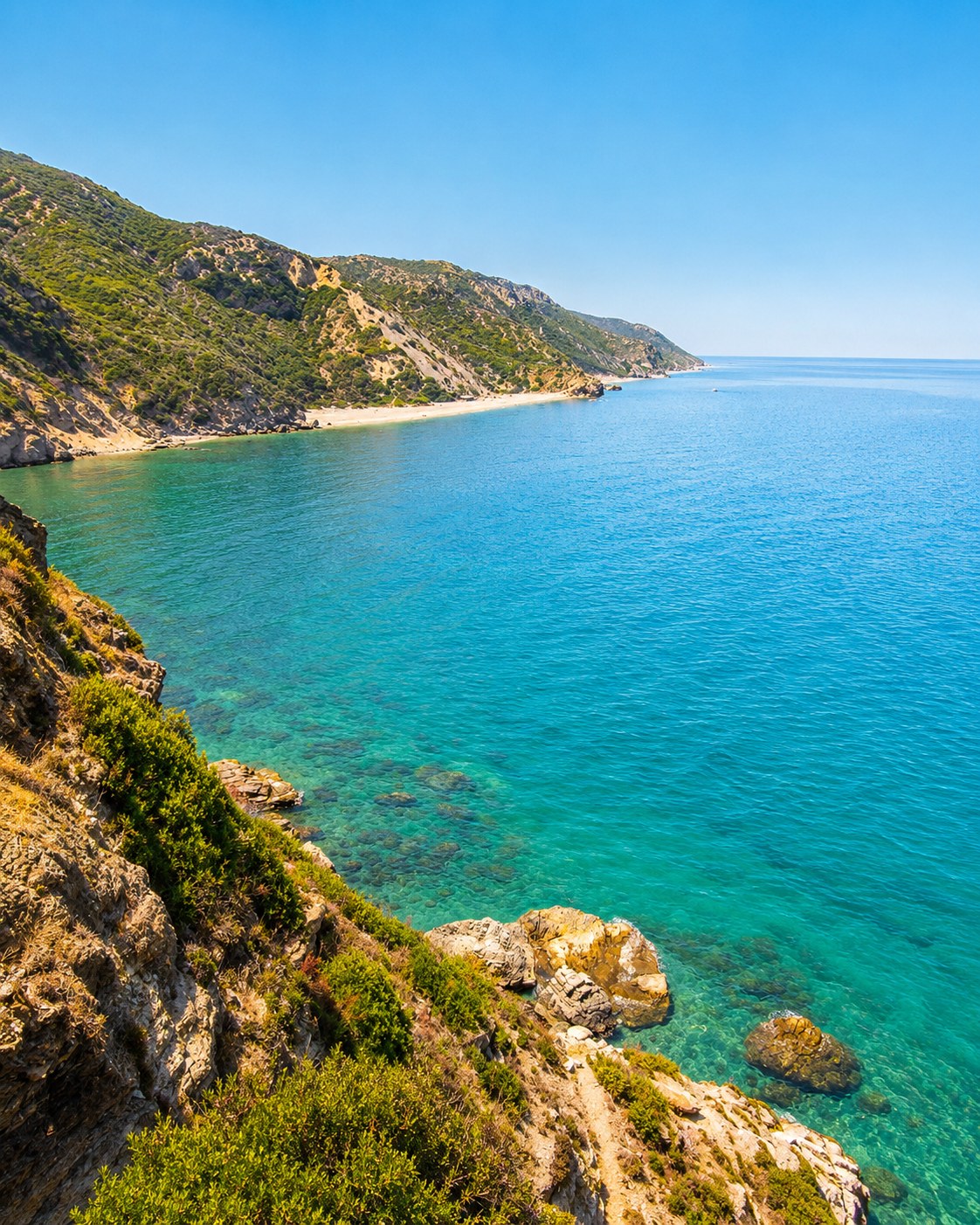
Follow the small town between Tétouan and the Rif coastline.
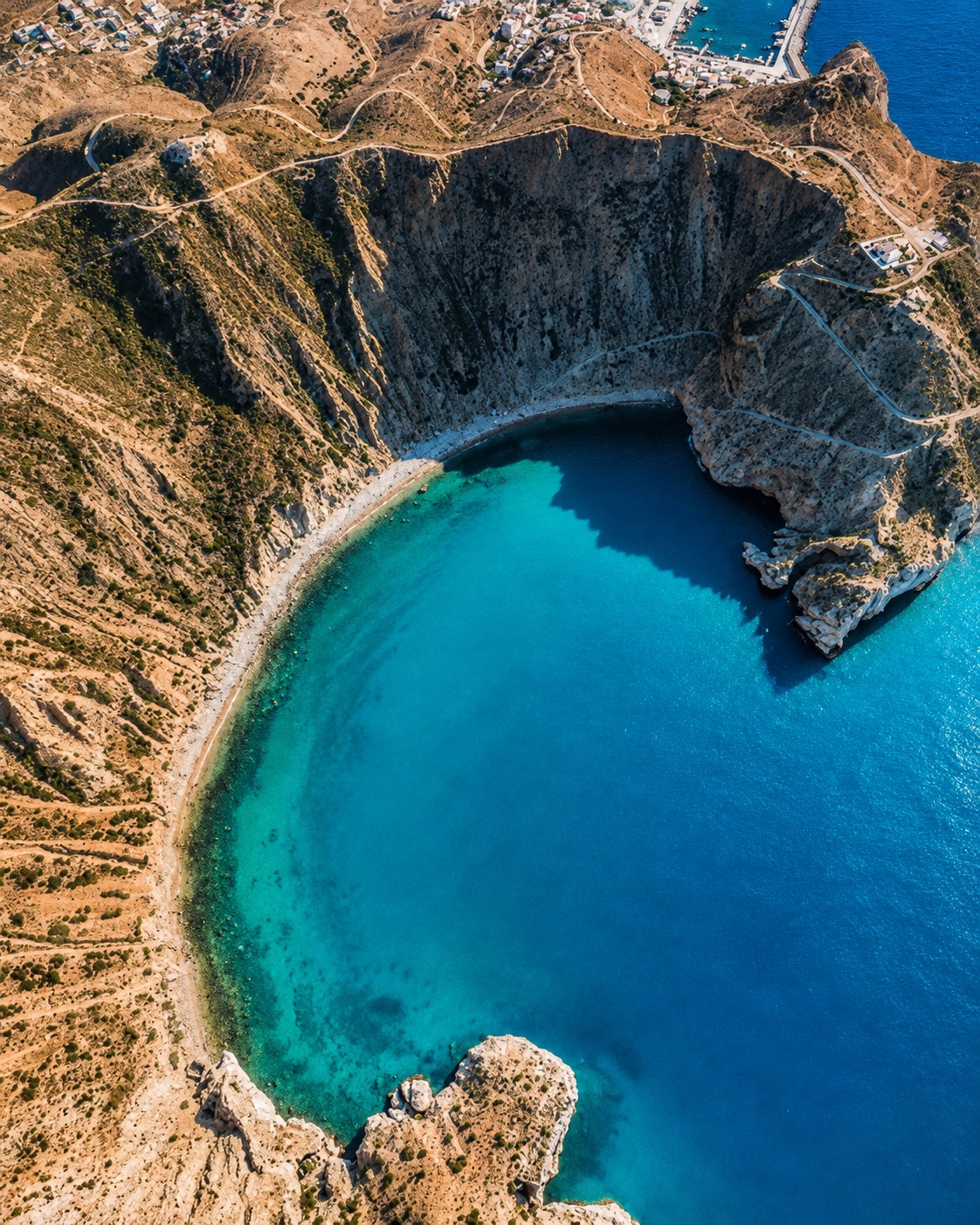
Continue through a small Rif coastal town and port.
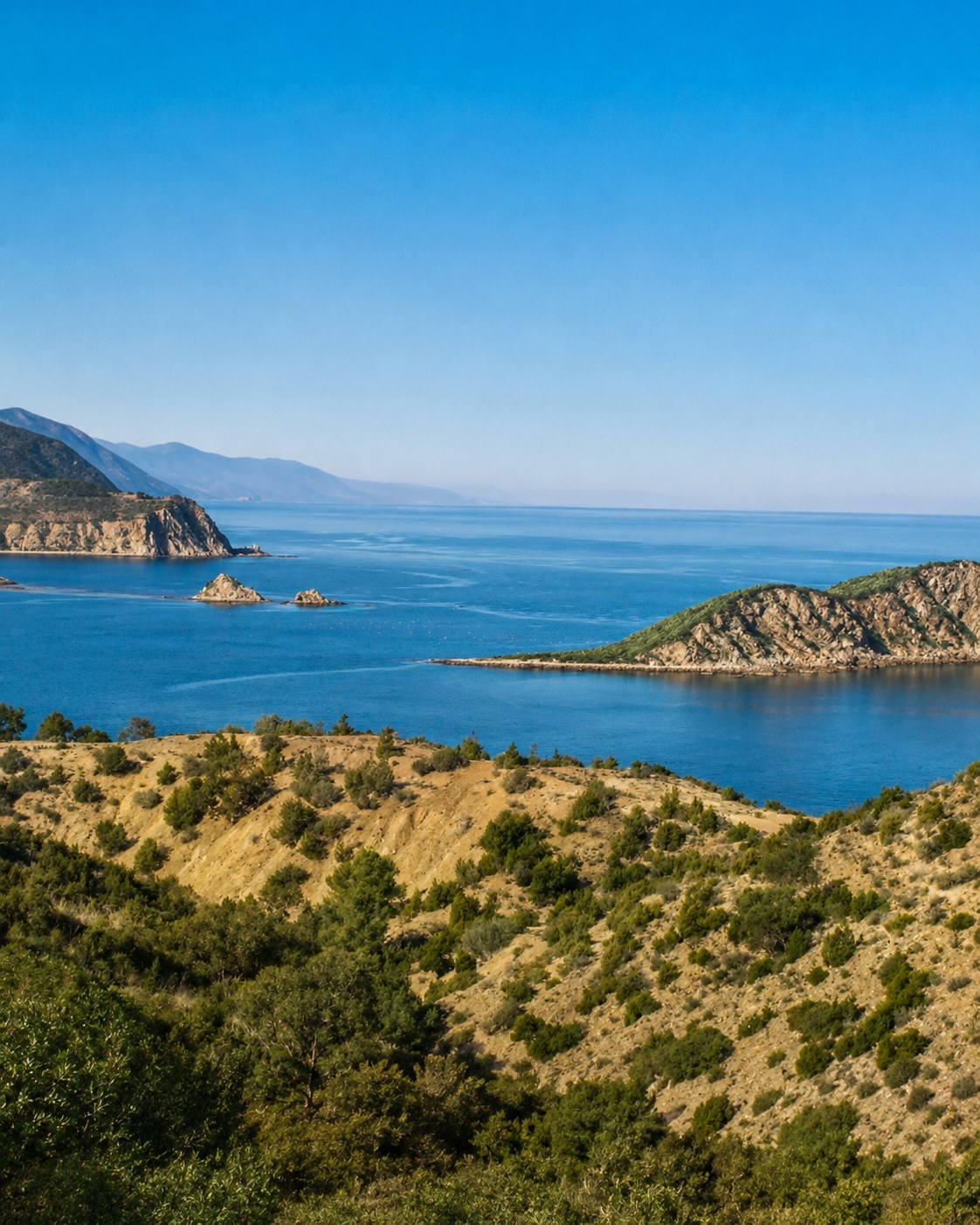
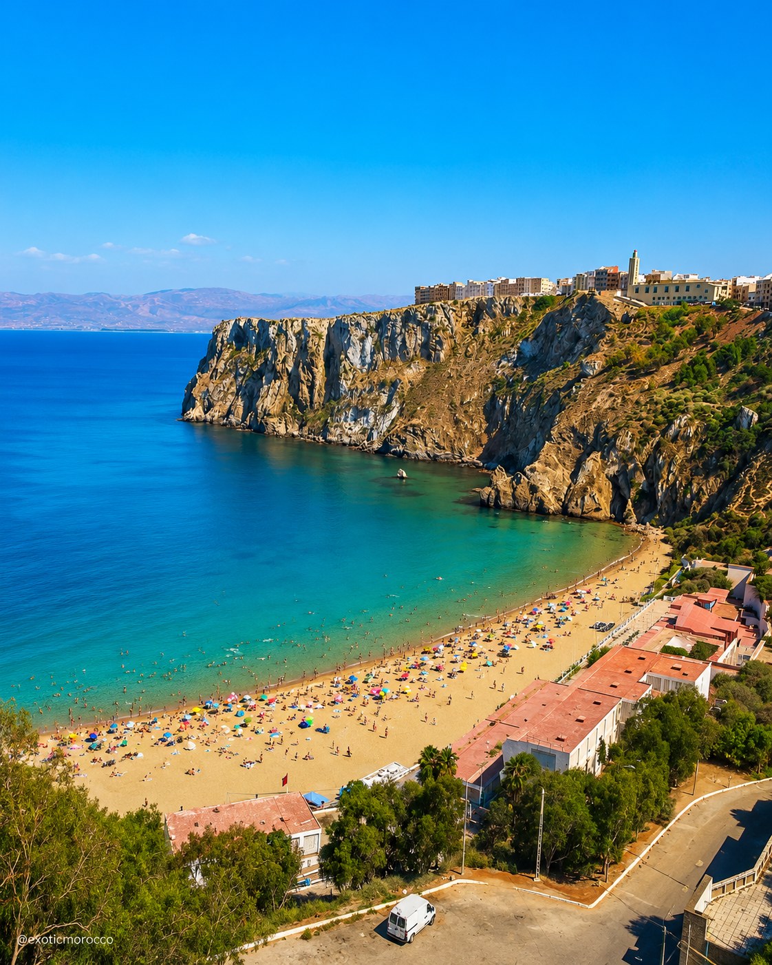
Focus on blue bays, Rif mountains and Mediterranean identity.

See protected cliffs, coves and coastal nature.
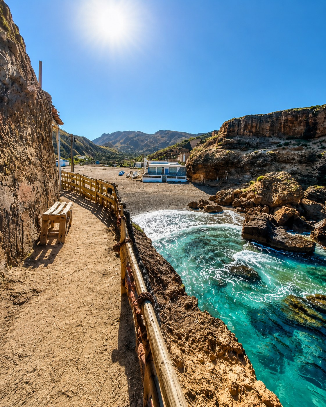
Move east through Marchica Lagoon and the Eastern Rif coast.
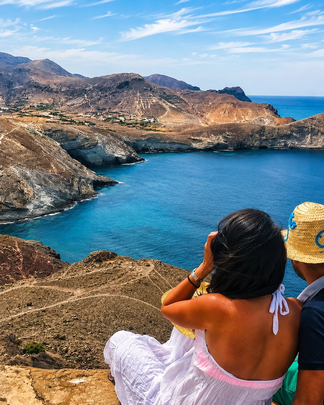
Link Nador and Saïdia through an eastern coastal stop.
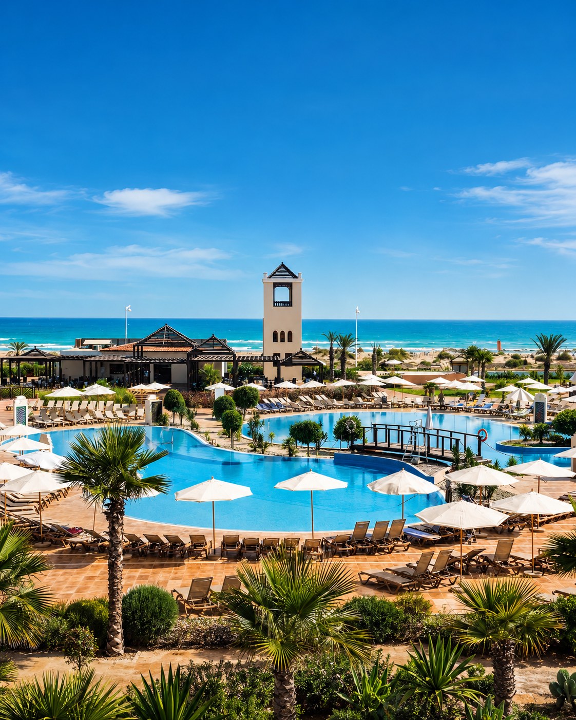
Reach the eastern beach resort known as the Blue Pearl.
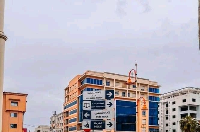
Connect citrus country with Beni Snassen foothills.
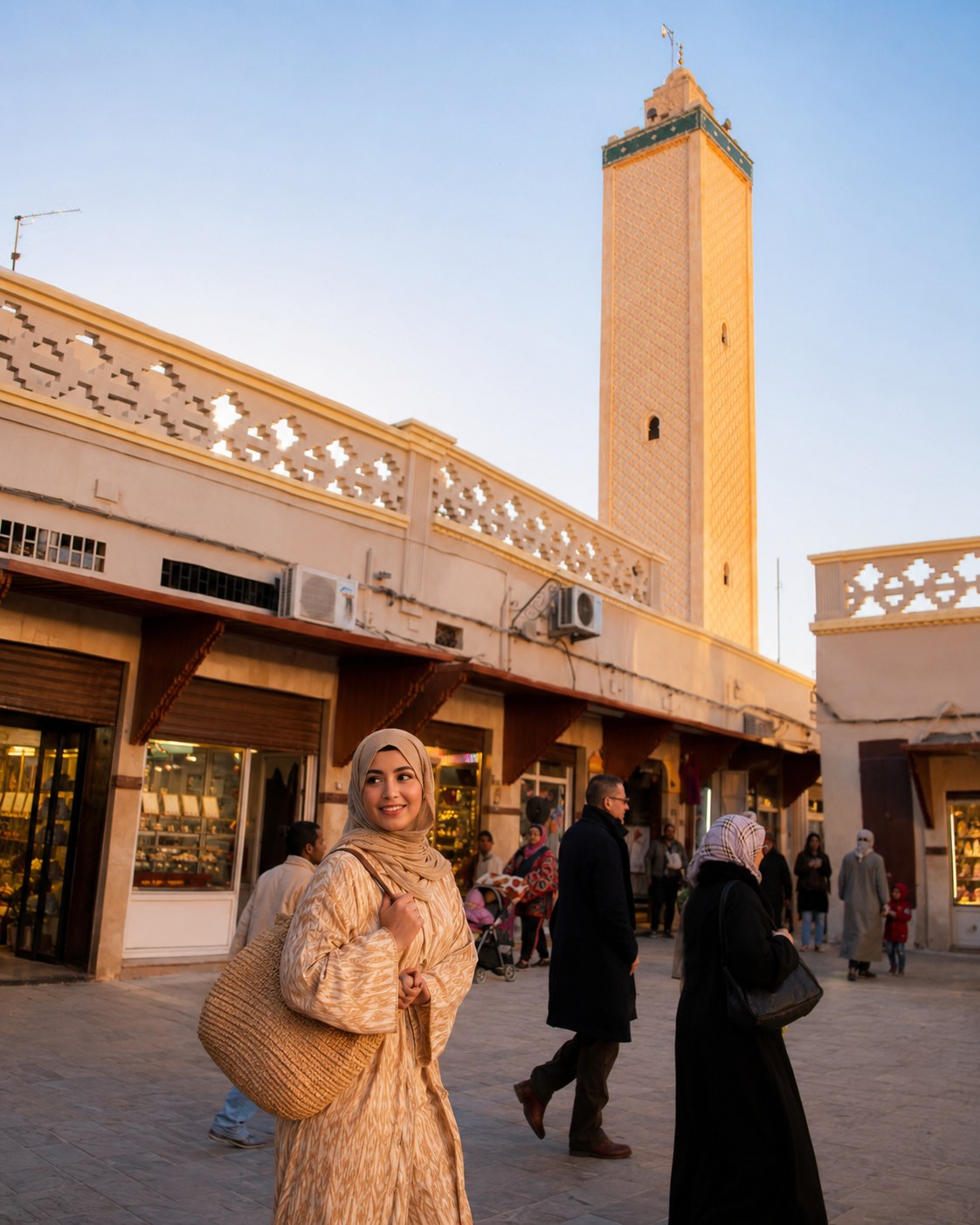
Enter the eastern capital and inland route hub.
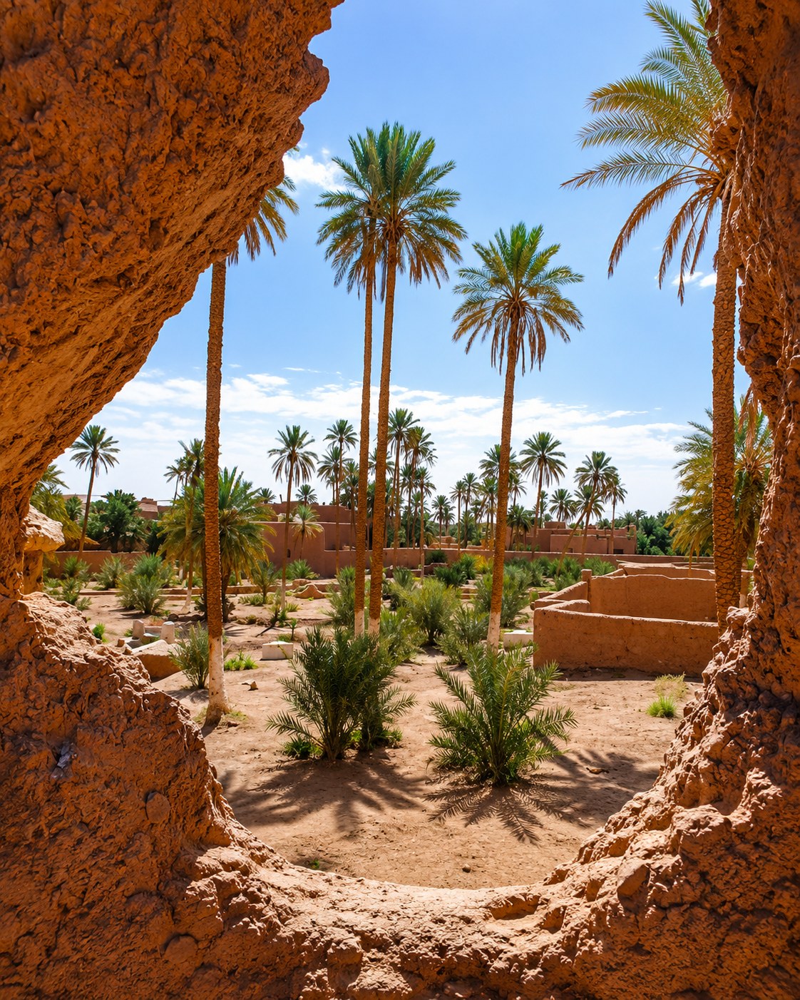
Close with oasis, palm groves and ksour heritage.
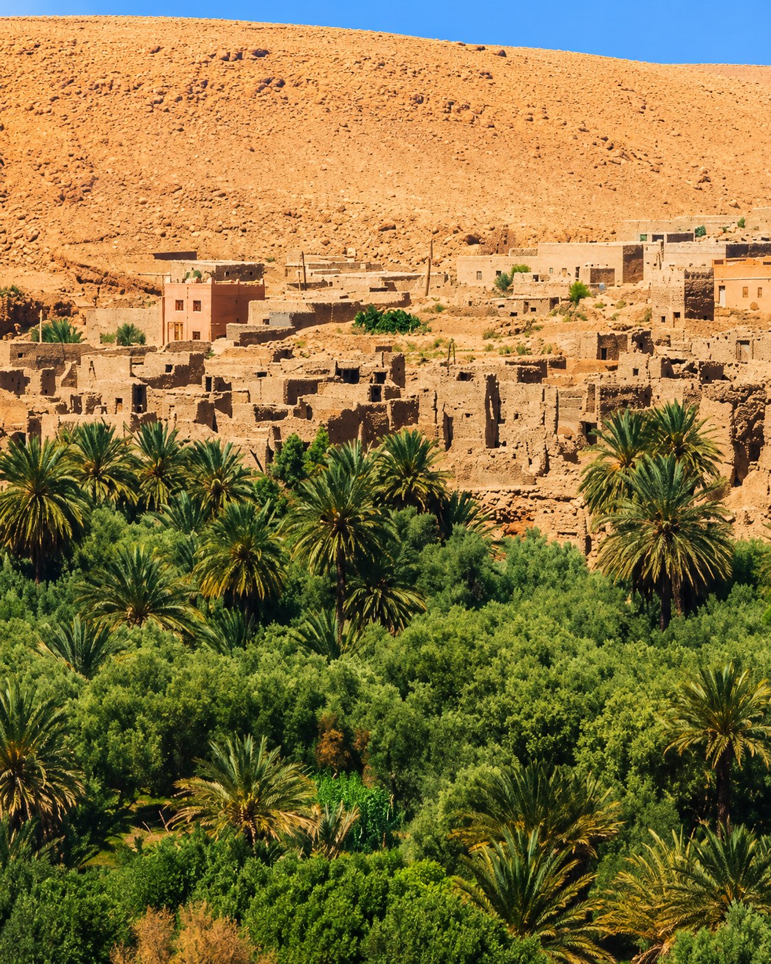
Follow the Ziz Valley and oasis route gateway.
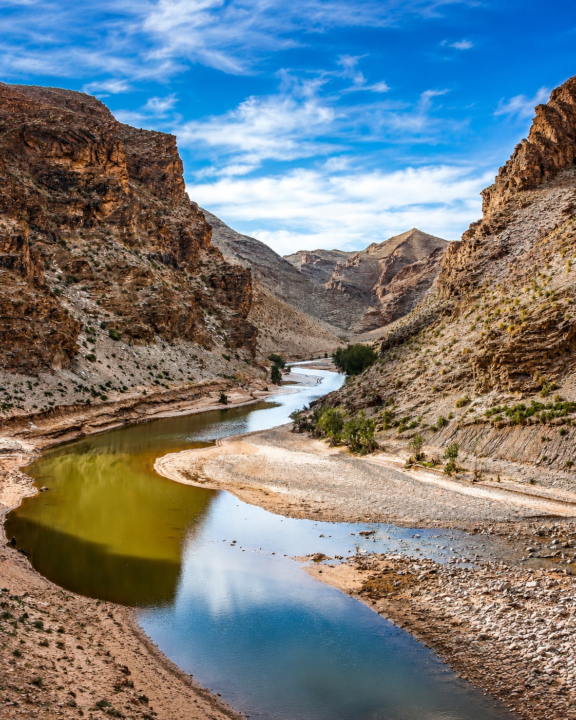
Use the highland link between Middle Atlas and eastern desert routes.