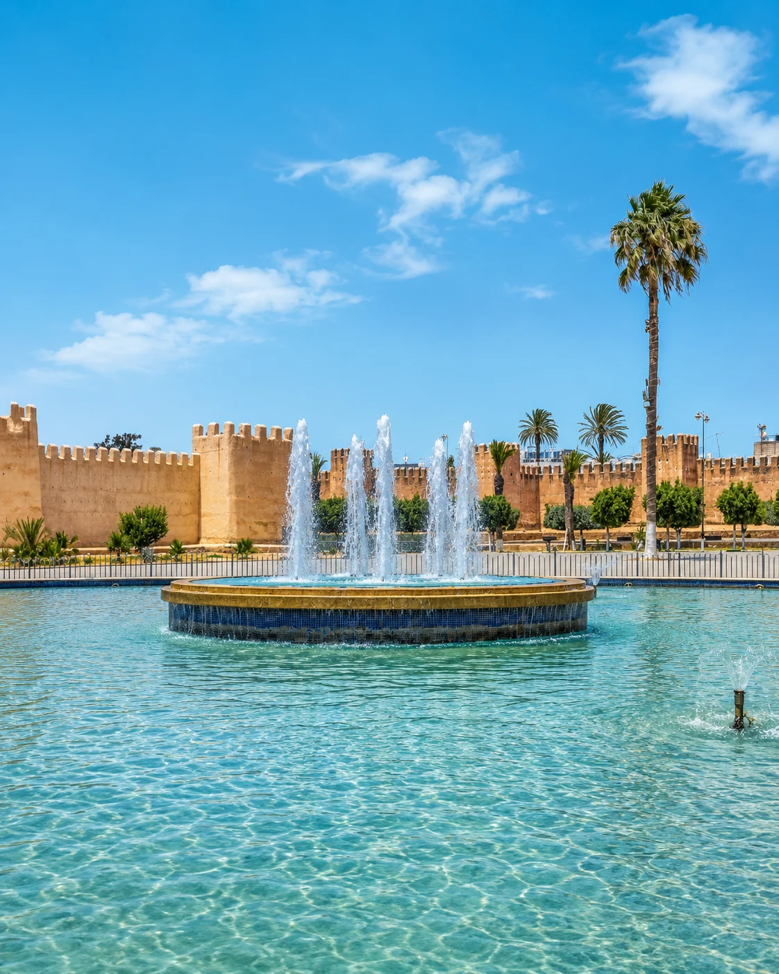
Taroudant
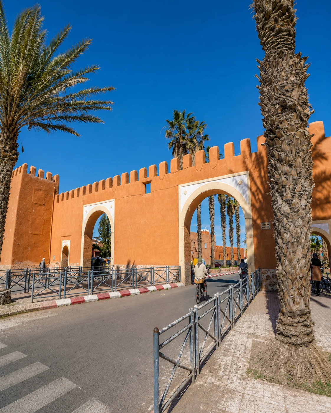
Walled Souss city, markets and ramparts.

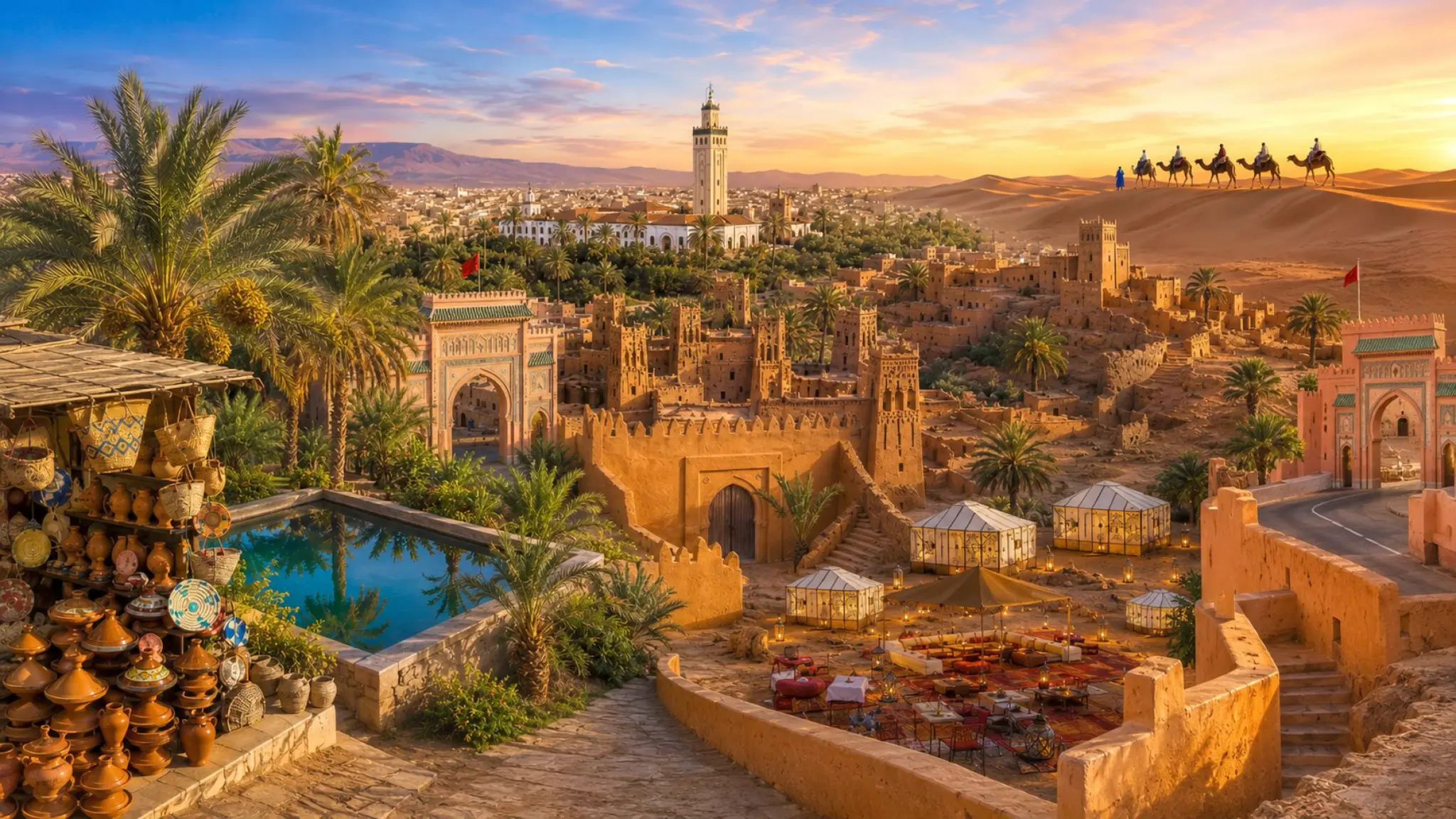
Souss Walls, Palm Valleys & Sahara Routes
Southern Morocco moves from Souss ramparts and silver craft to Anti-Atlas gateways, kasbah routes, palm valleys, dunes, Saharan heritage and Atlantic-desert edges.
This editorial region follows southern gateways, oasis corridors and Sahara-linked places from Taroudant and Tiznit toward Ouarzazate, the Drâa route, Tafilalet and Tan-Tan.
The route is editorial, not administrative: official Moroccan regions remain separate under Morocco by Region.
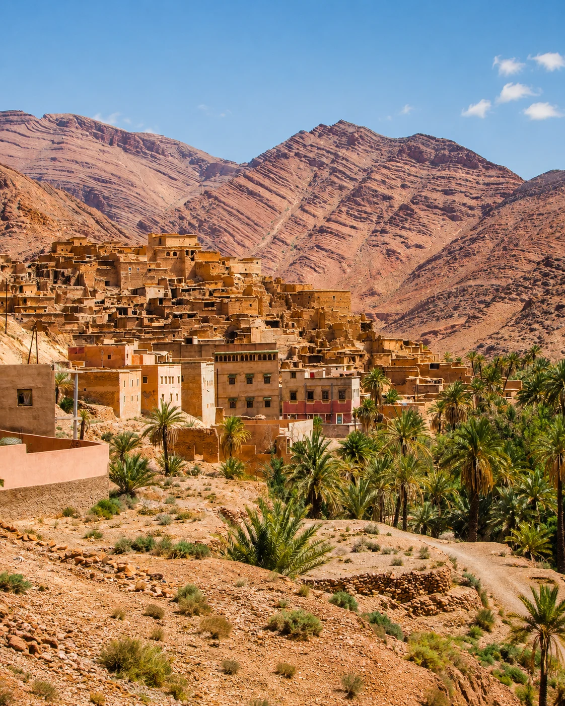
The south is not a single stretch of sand. Cultivated valleys, market towns, mountain margins, earthen settlements and dune fields form different landscapes, linked by work and movement. A palm grove is productive land; a kasbah has a history of occupation and repair; a desert base is also a place where people live throughout the year.
Walled Souss city, markets and ramparts.
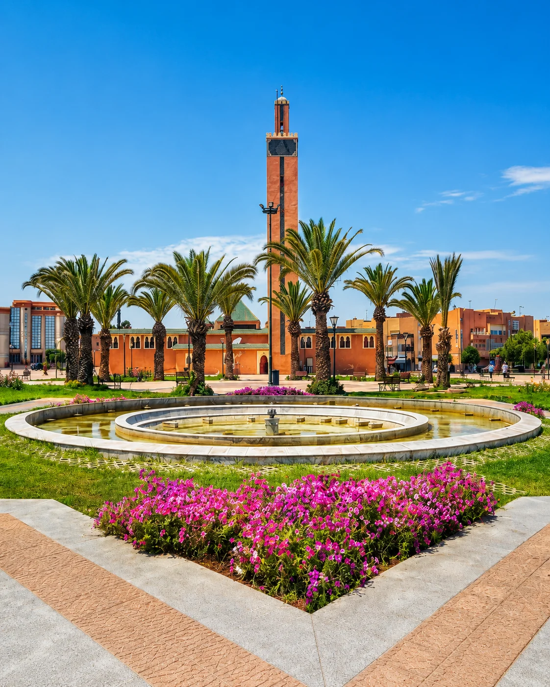
Silver craft, walls and Anti-Atlas gateway.
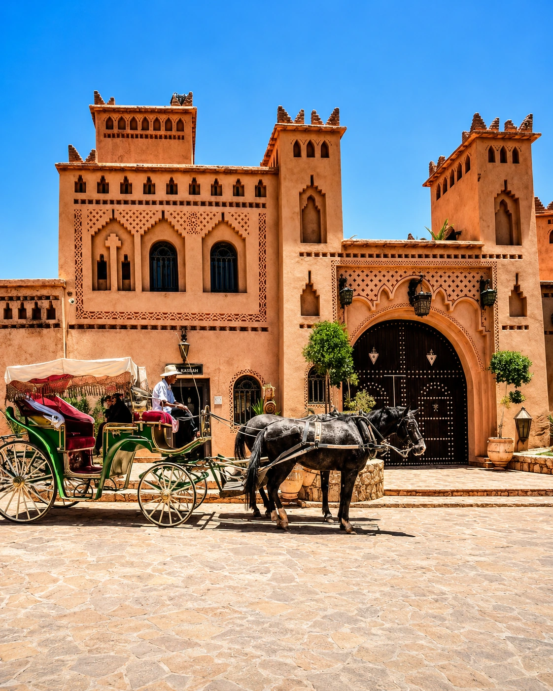
Kasbah routes, film landscapes and desert gateway.
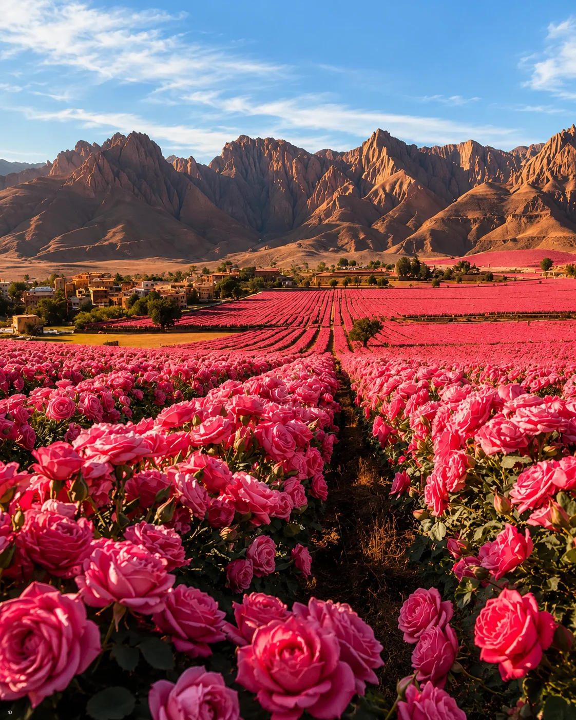
Rose Valley identity and Dadès-area landscapes.
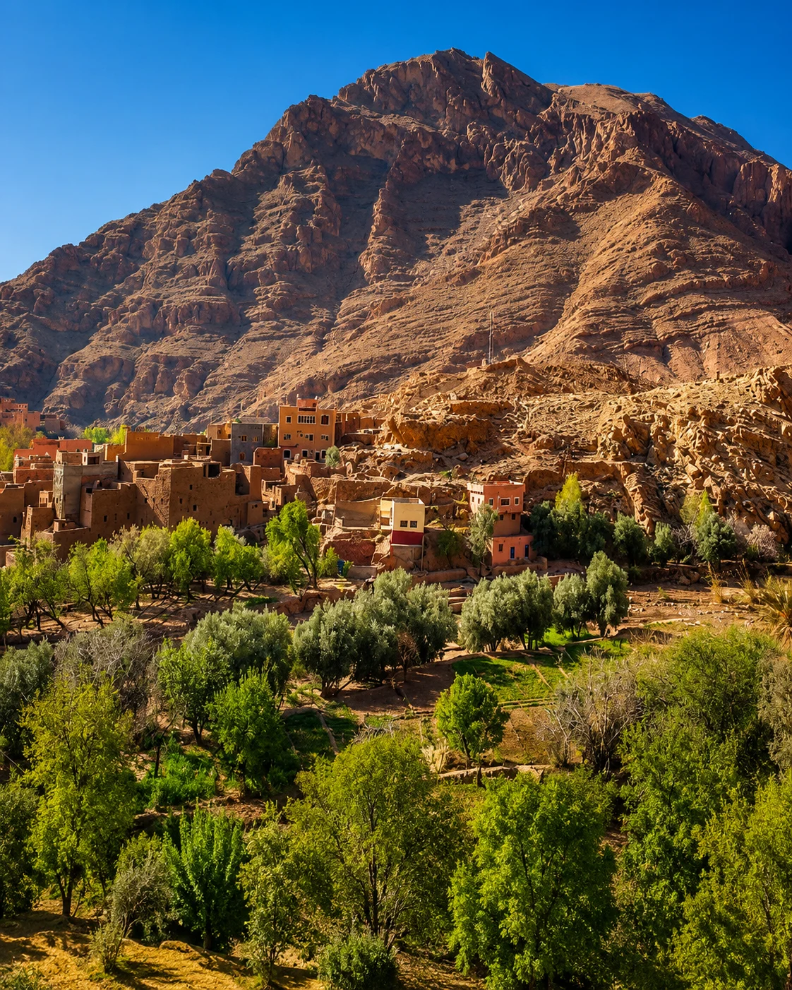
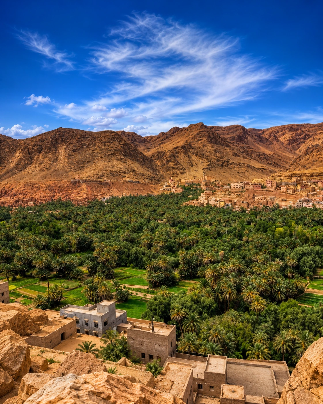
Todra palms, oasis views and canyon scenery.
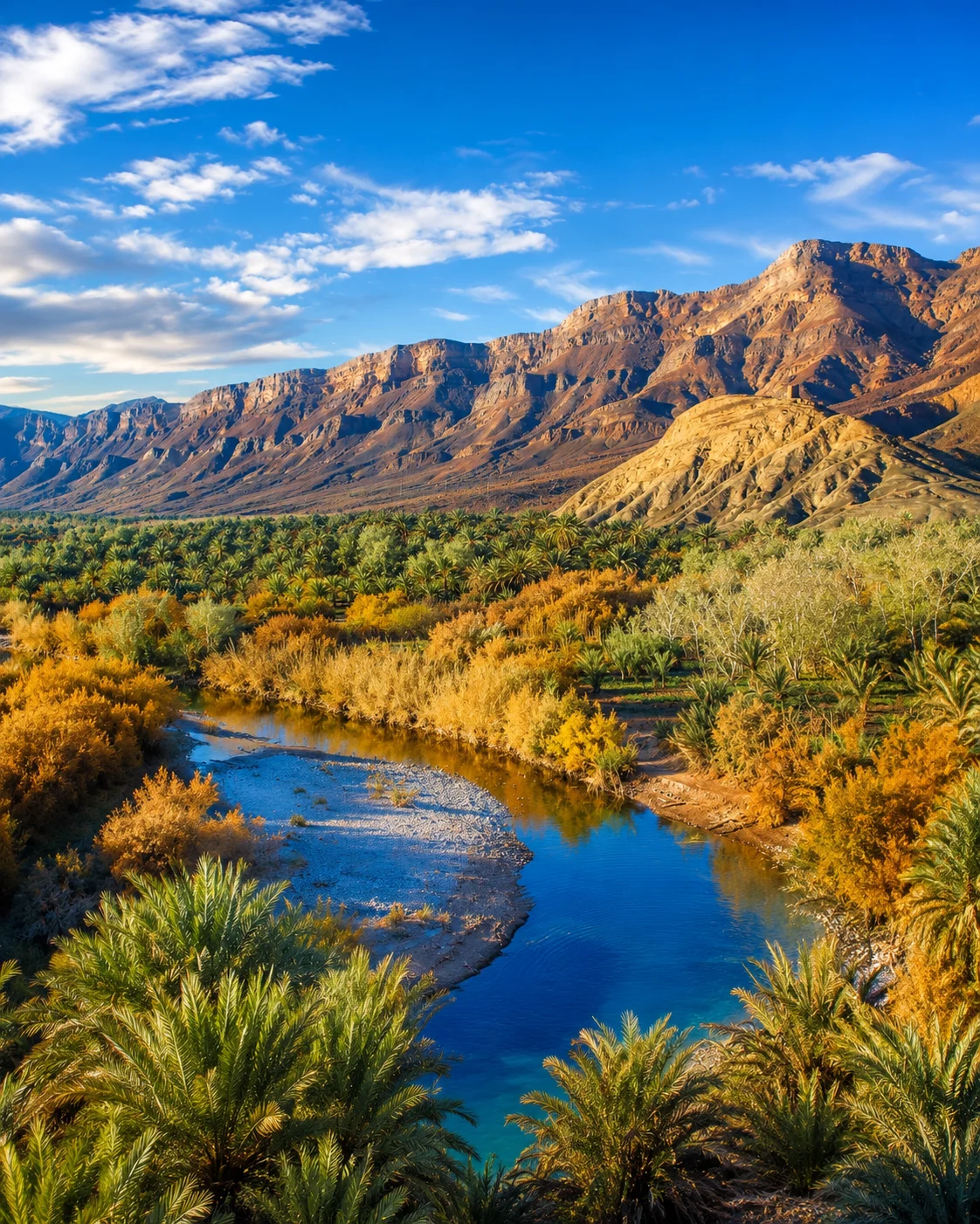
Drâa route gateway and caravan memory.
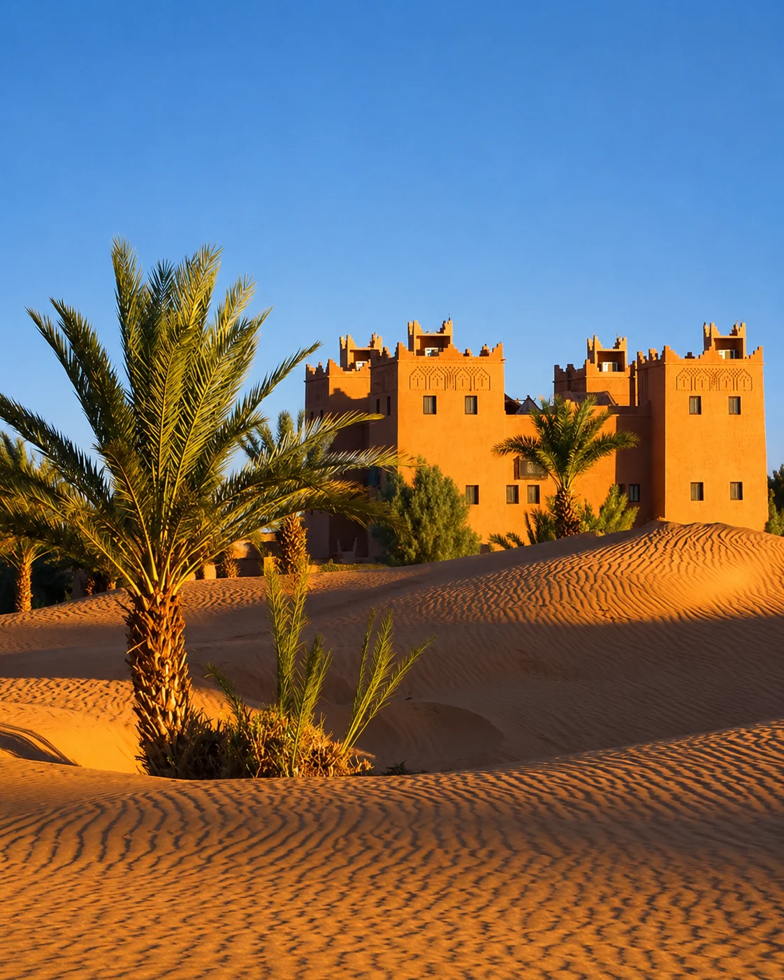
Desert-edge village and Erg Chigaga gateway.
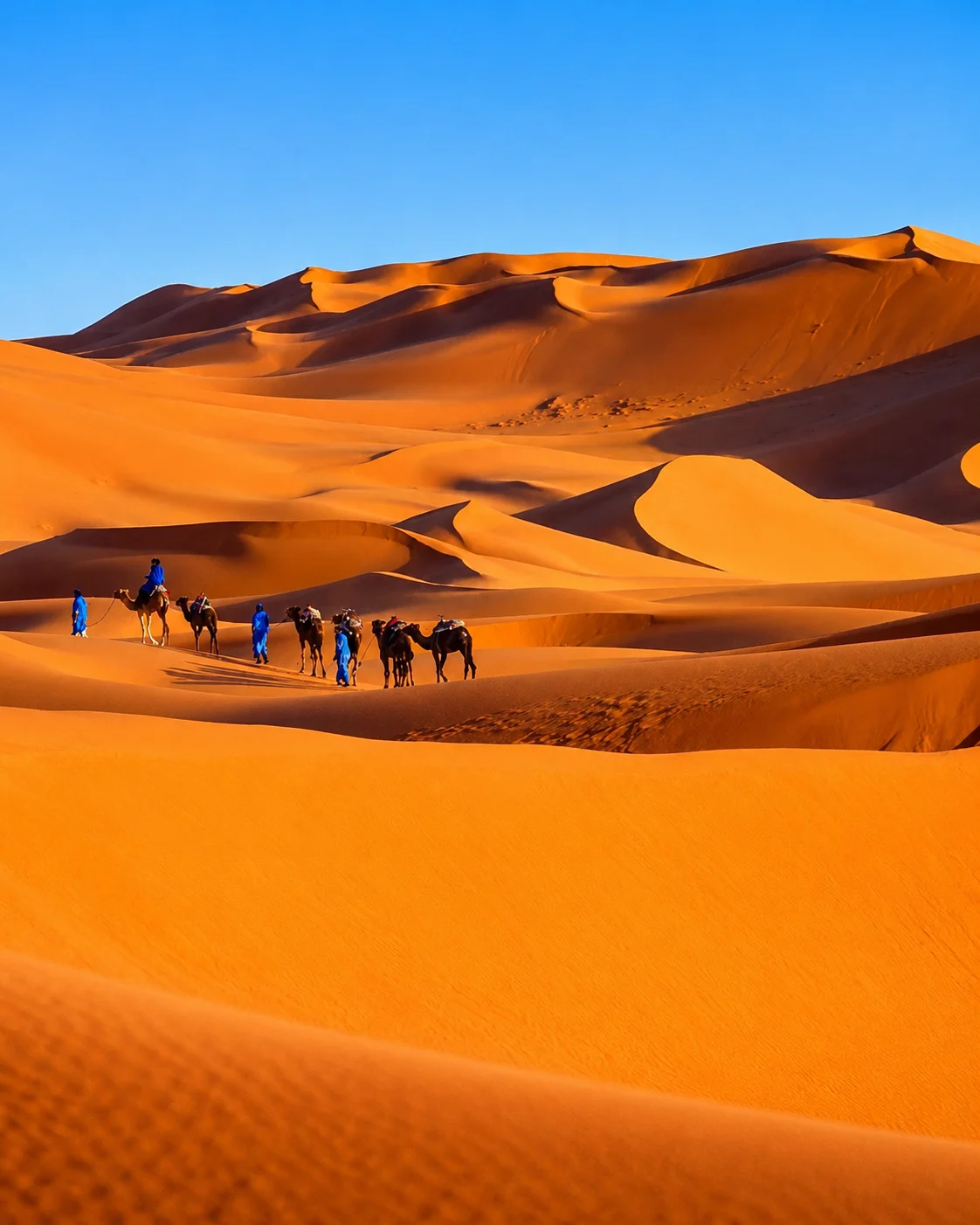
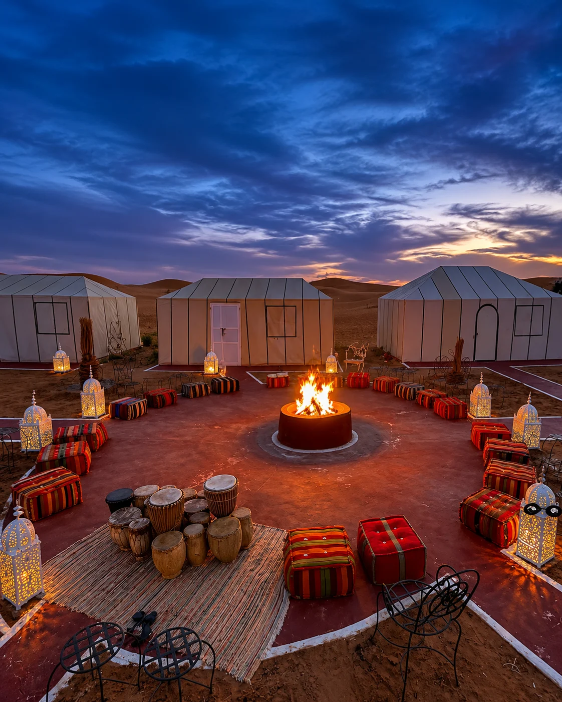
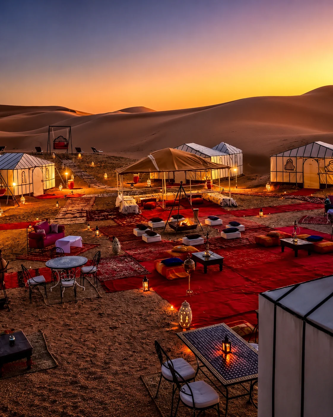
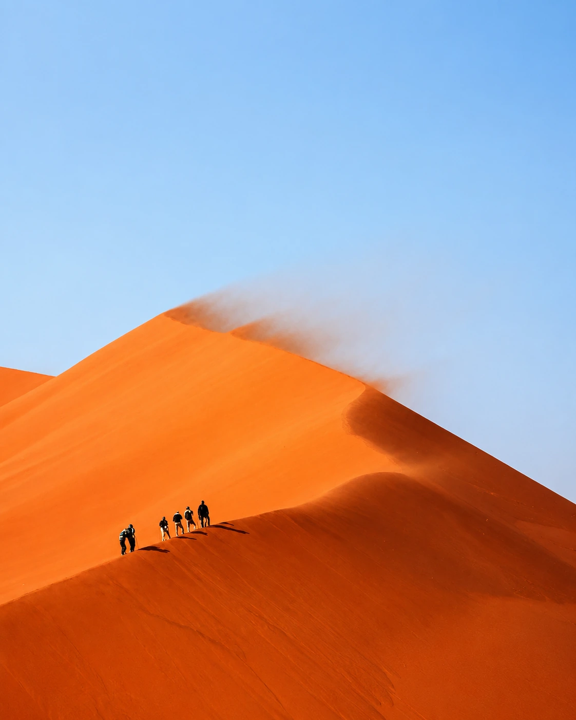
Erg Chebbi dunes and desert-camp culture.
Date region, fossils and Tafilalet gateway.
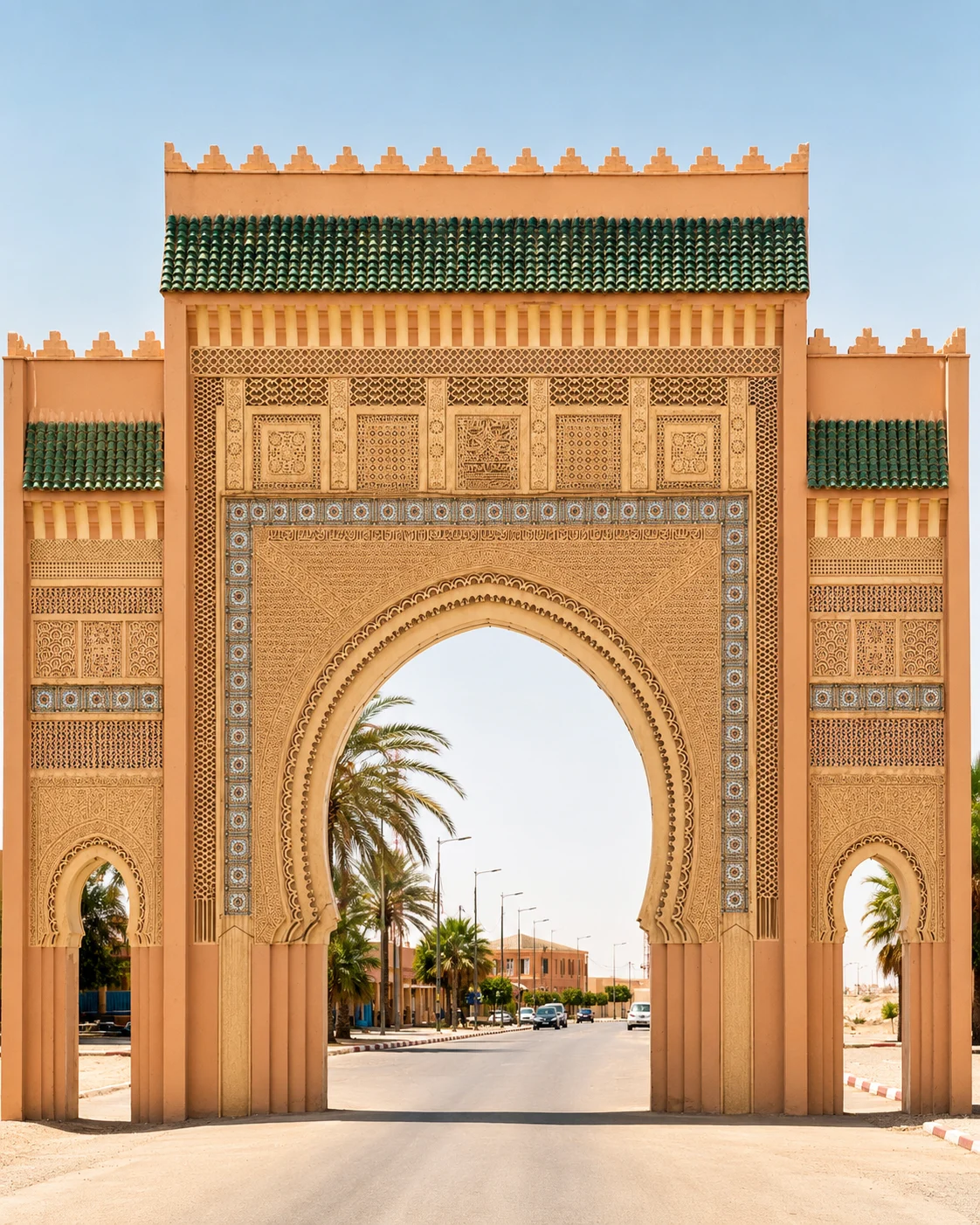
Historic market, ksour and oasis routes.
The route moves from Souss walls and Anti-Atlas gateways into kasbah valleys, Drâa palm corridors, dune edges and Saharan cultural memory.
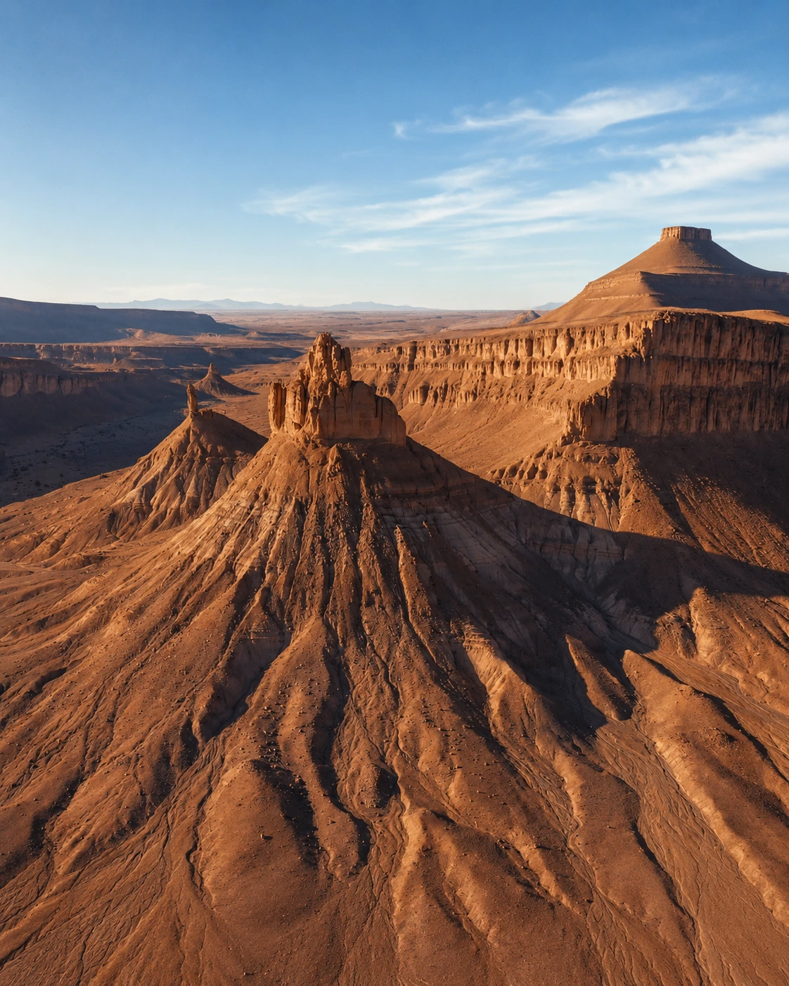 Southern route · Souss walls to Sahara dunes
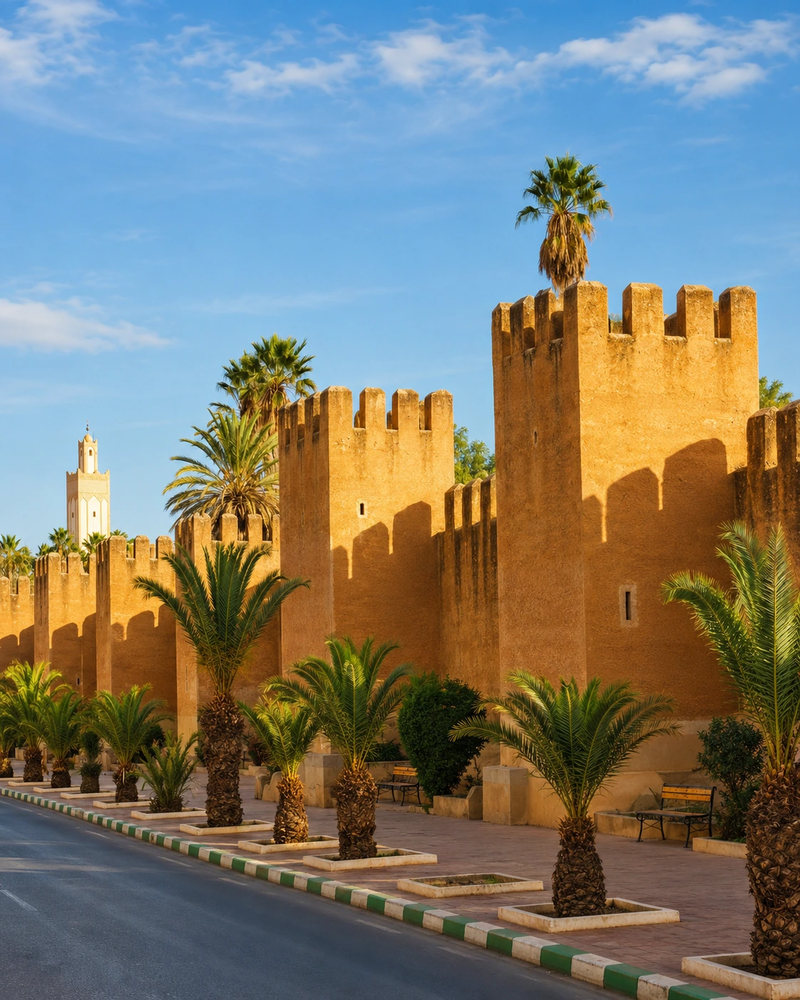 Taroudant walls
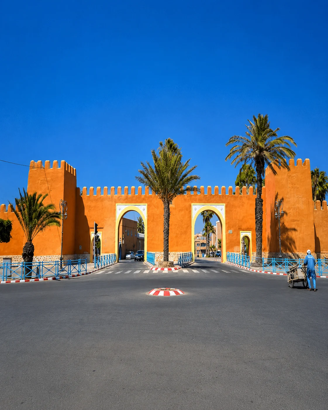 Tiznit silver craft
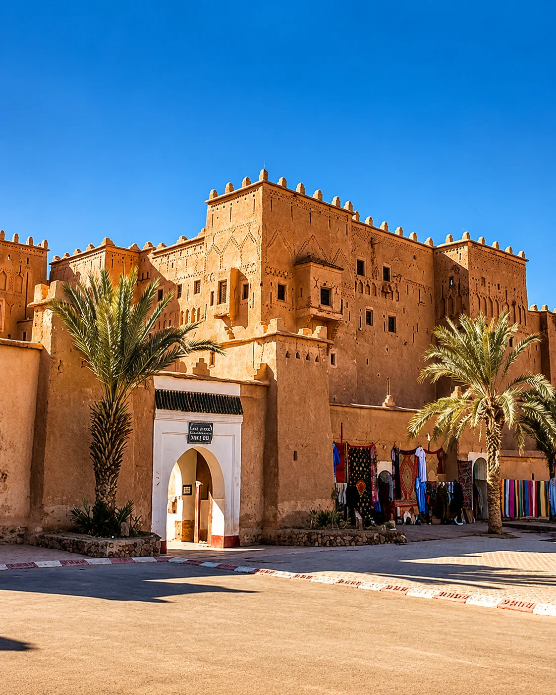
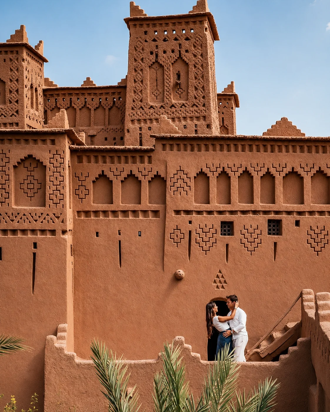 Ouarzazate kasbahs
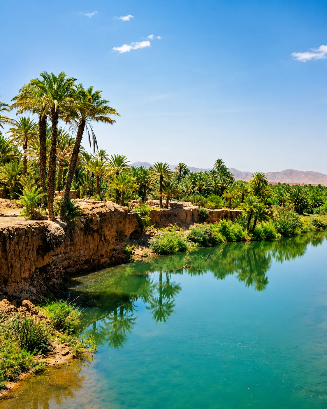 Drâa palm route
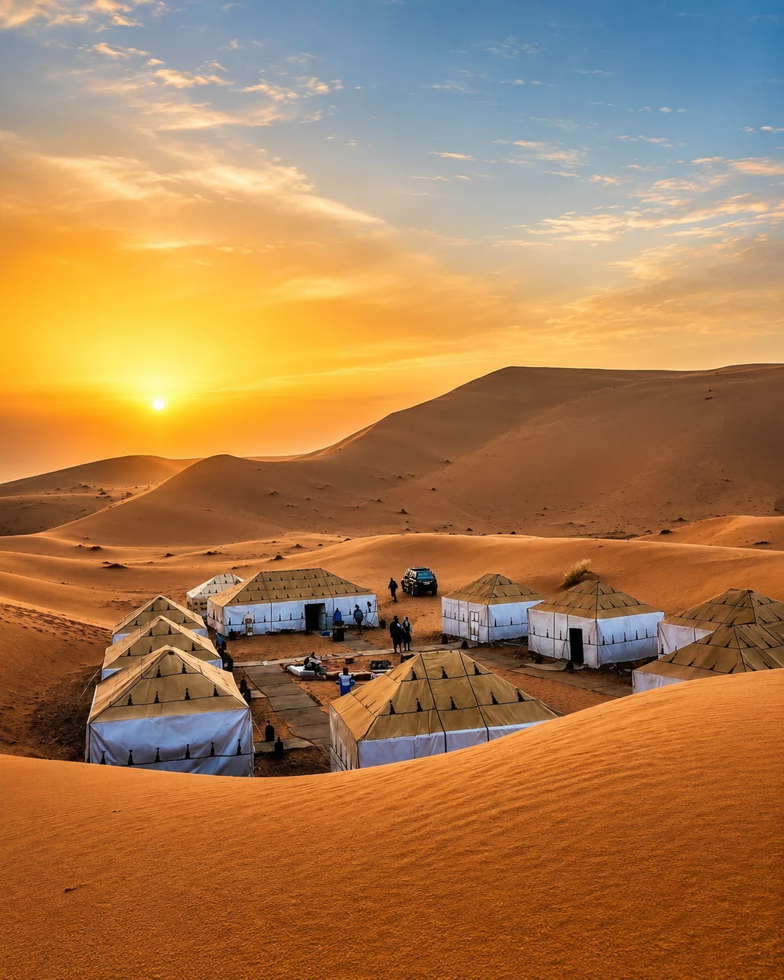 Erg Chebbi dunes
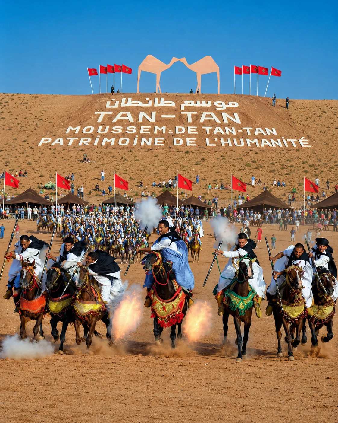 Tan-Tan heritage
Southern Morocco connects market towns, oasis agriculture, earthen architecture, desert routes and living Saharan traditions in one long editorial journey.
Taroudant, Tiznit and Guelmim give the route its walled, craft-based and southern gateway identity.
Ouarzazate, Dadès, Todra and Drâa link earthen architecture with palm valleys and mountain edges.
M’Hamid, Merzouga and nearby ergs show the transition from oasis roads into Sahara landscapes.
Rissani, Smara and Tan-Tan add Tafilalet memory, Hassani culture and UNESCO-listed nomadic heritage.
The region reads through walled Souss towns, kasbah valleys, palm-oasis corridors and Sahara identity.
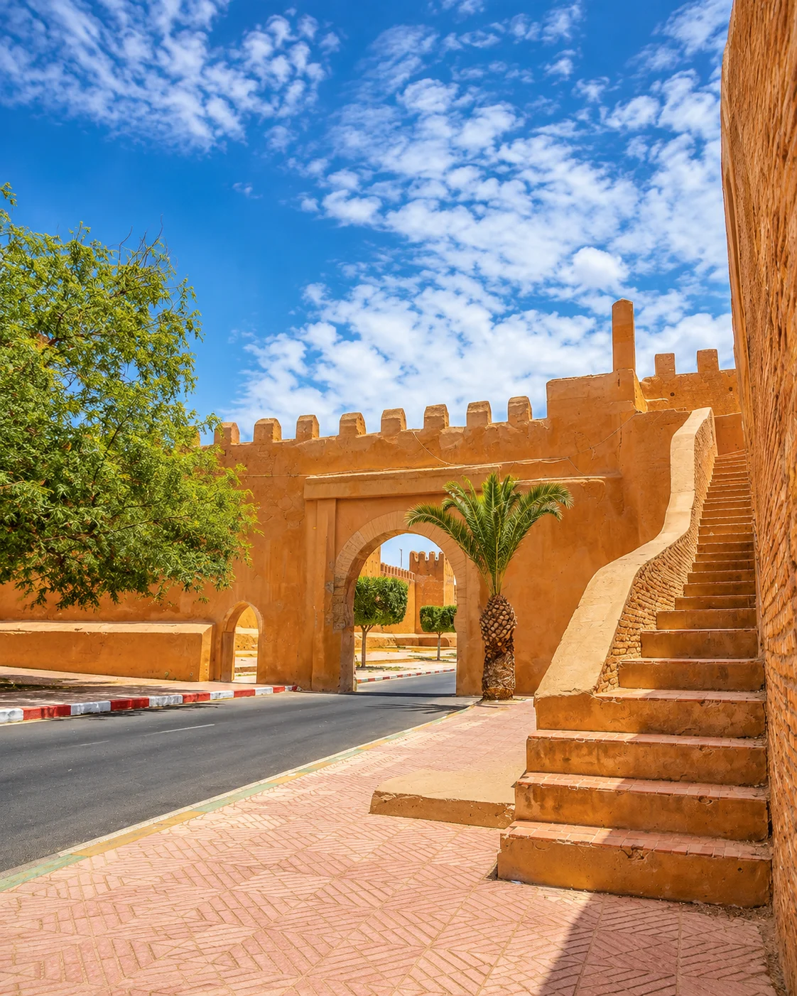
Taroudant, Tiznit and Guelmim carry walls, markets, silver craft and southern route beginnings.
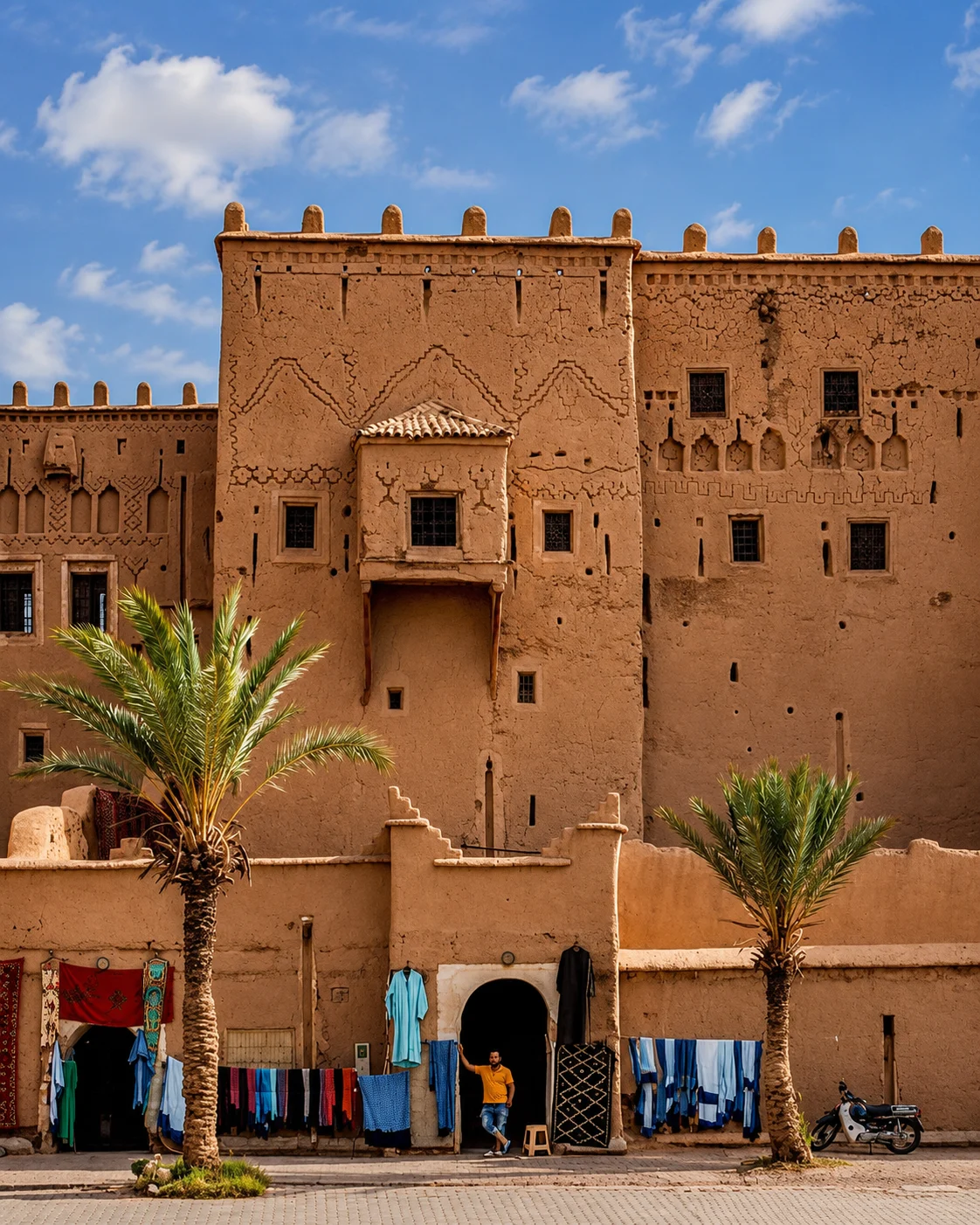
Ouarzazate, Skoura, Dadès and Tinghir frame earthen architecture and valley landscapes.
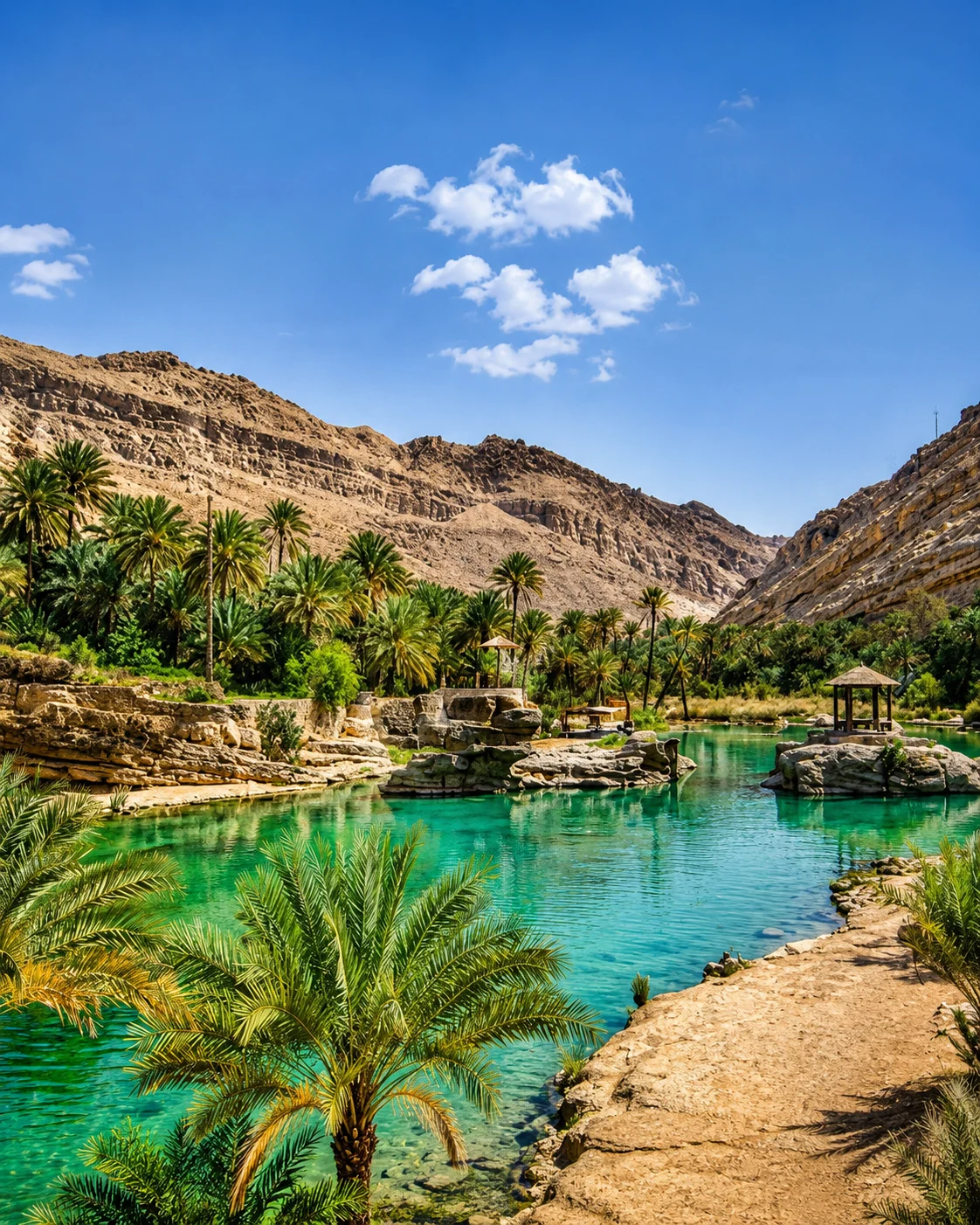
Drâa, Ziz and Tafilalet connect palm groves, ksour, date culture and caravan memory.
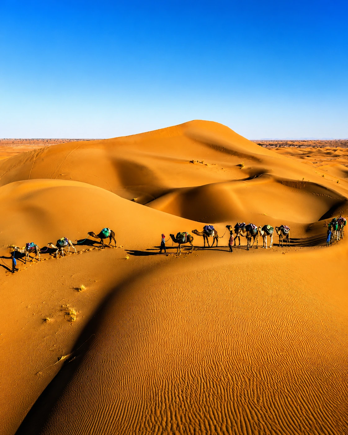
M’Hamid, Merzouga, Smara and Tan-Tan add dunes, Hassani heritage and desert-edge culture.
The southern route is built from walled markets, craft towns, kasbah valleys, palm oases, dune approaches and Saharan cultural layers.
Taroudant anchors the western opening with ramparts, souks and Souss Valley movement.
Tiznit links old walls, silver workshops, Aglou coast and Anti-Atlas roads.
Ouarzazate, Skoura and Aït Ben Haddou frame the earthen-architecture corridor.
Tinghir, Drâa and Ziz bring palms, irrigated oases, ksour and valley roads.
M’Hamid, Merzouga, Erfoud and Rissani connect dunes, dates and market memory.
Smara and Tan-Tan add Hassani identity, nomadic gatherings and Atlantic-desert edges.
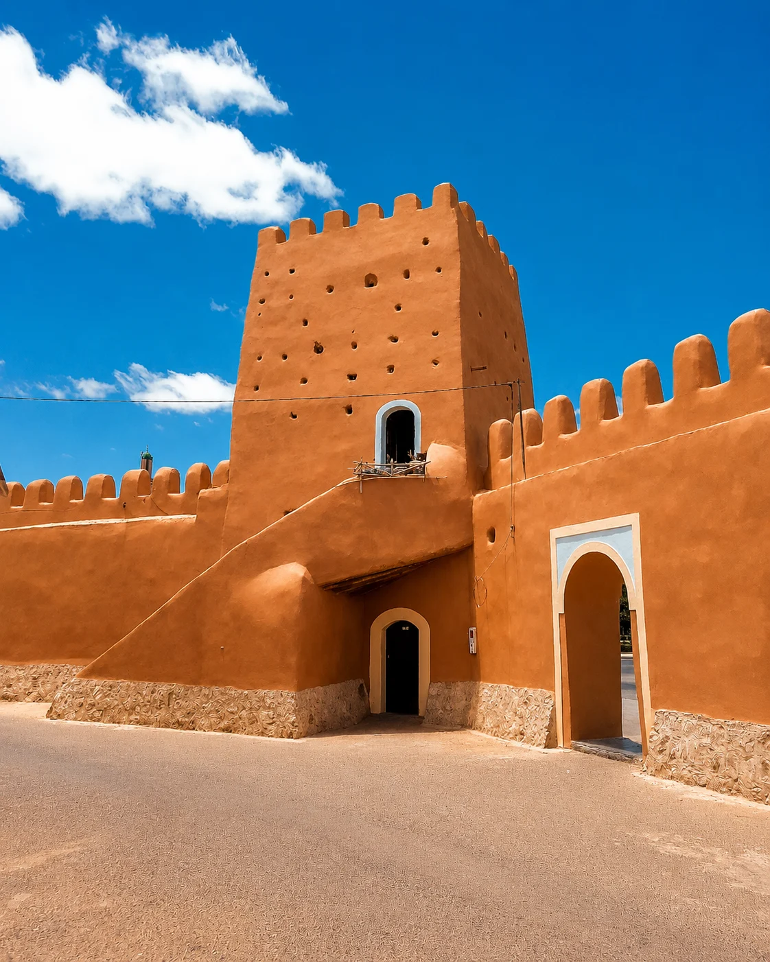
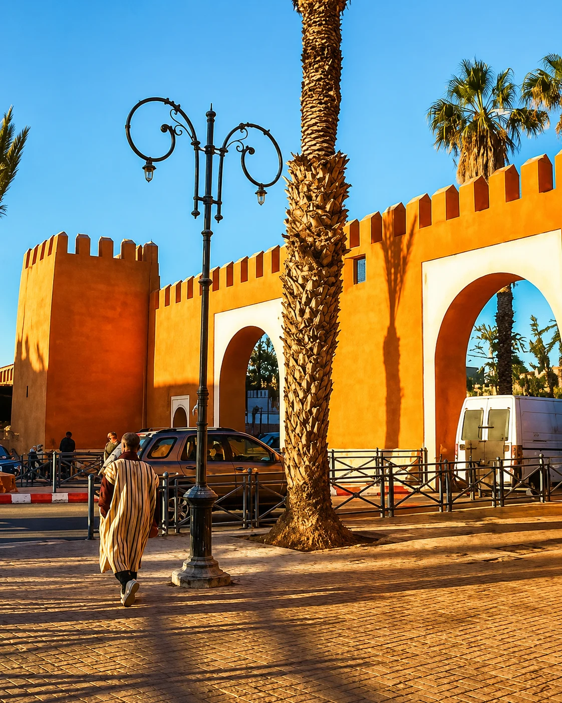
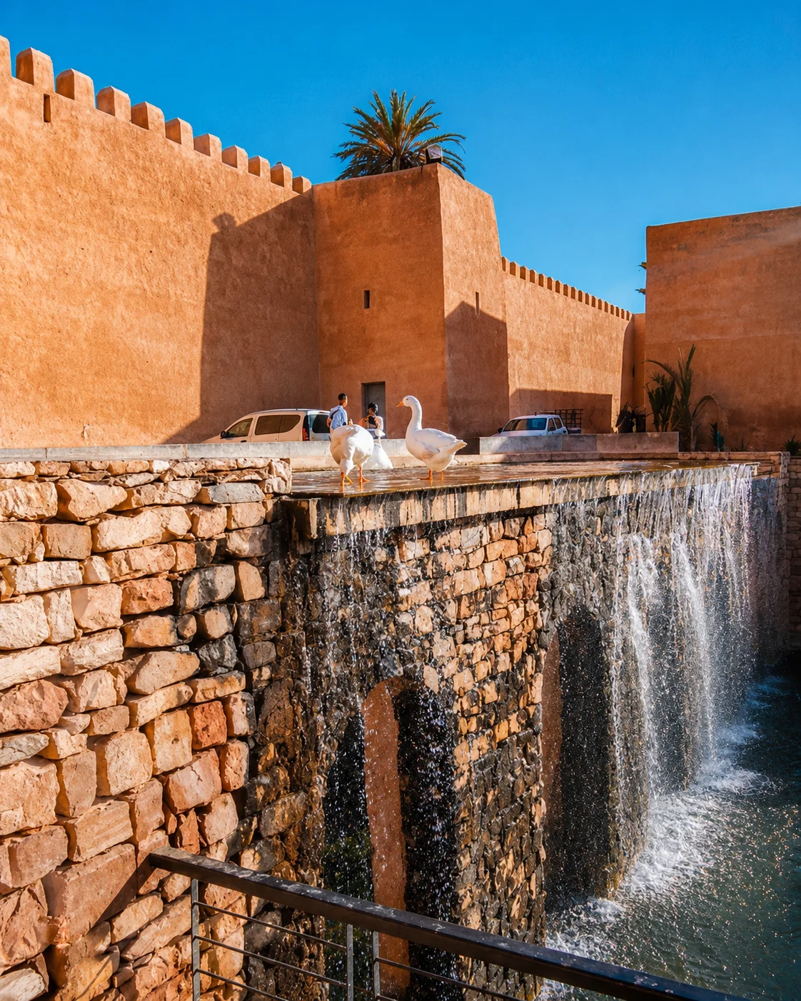
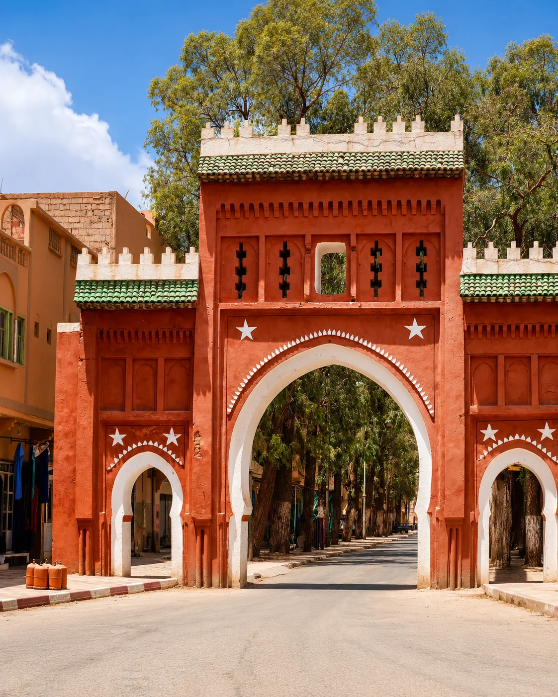
A walled Souss city of ramparts, markets and southern gateway rhythm.
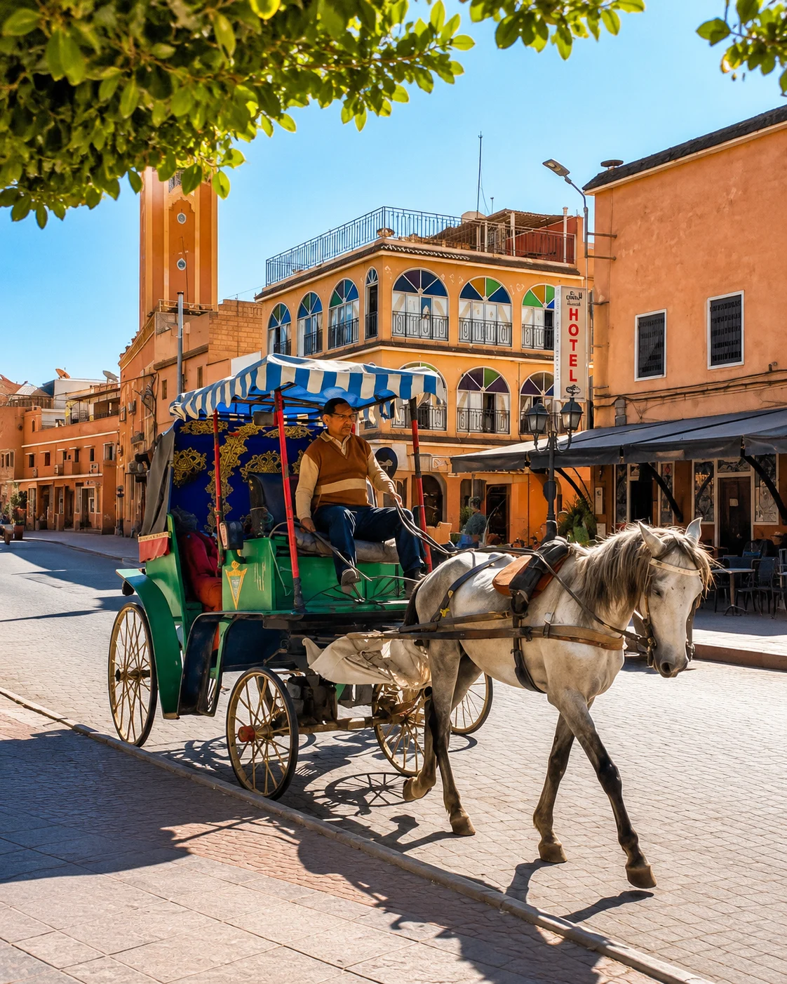
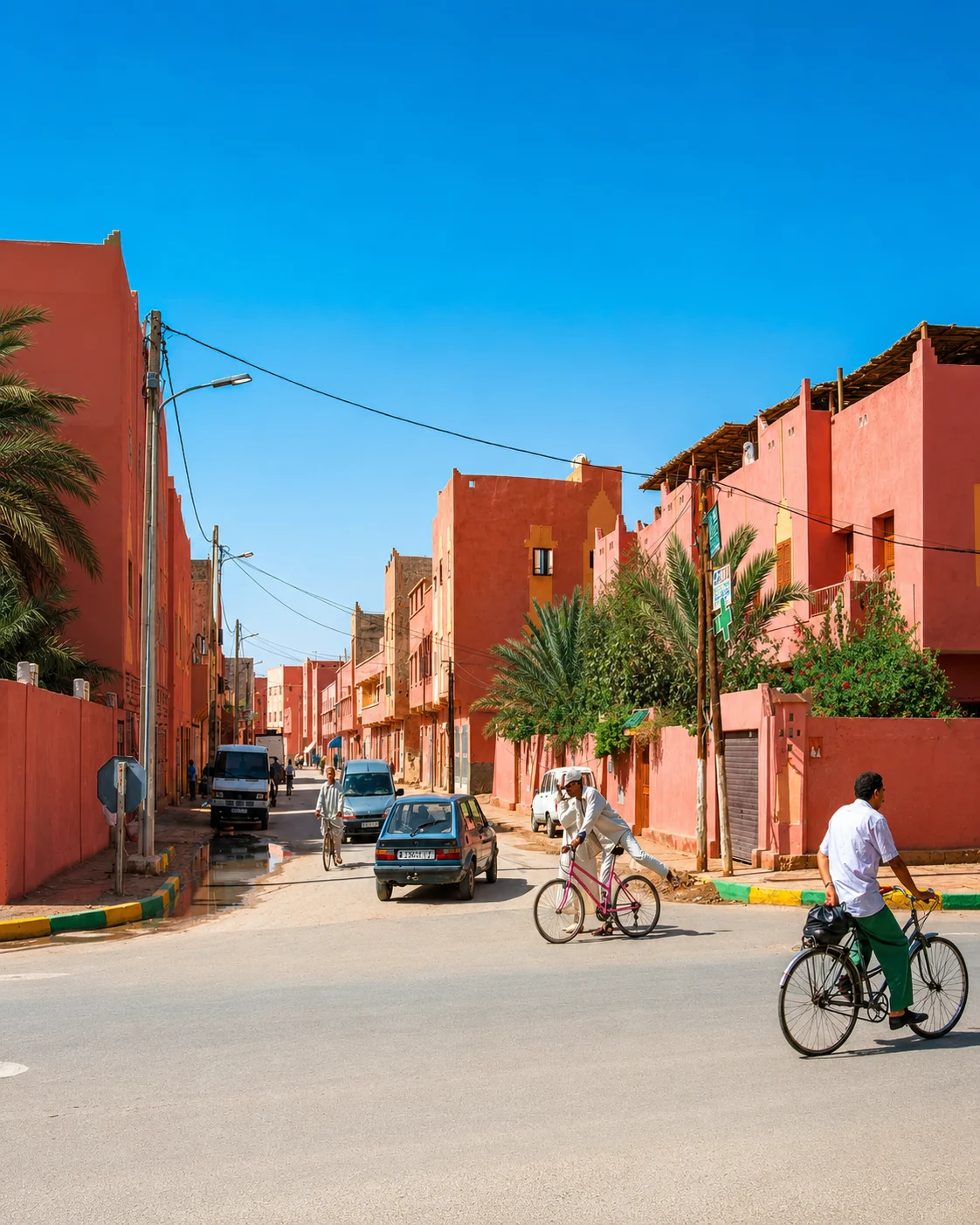
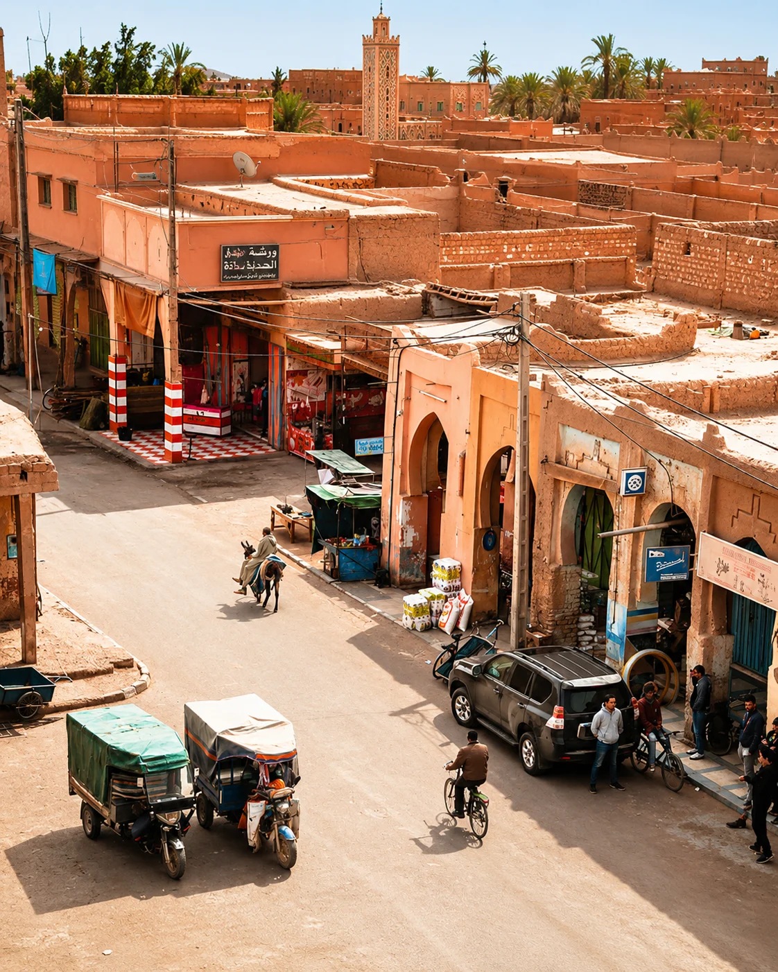
Taroudant keeps the route grounded in red walls, active souks and the fertile Souss Valley.
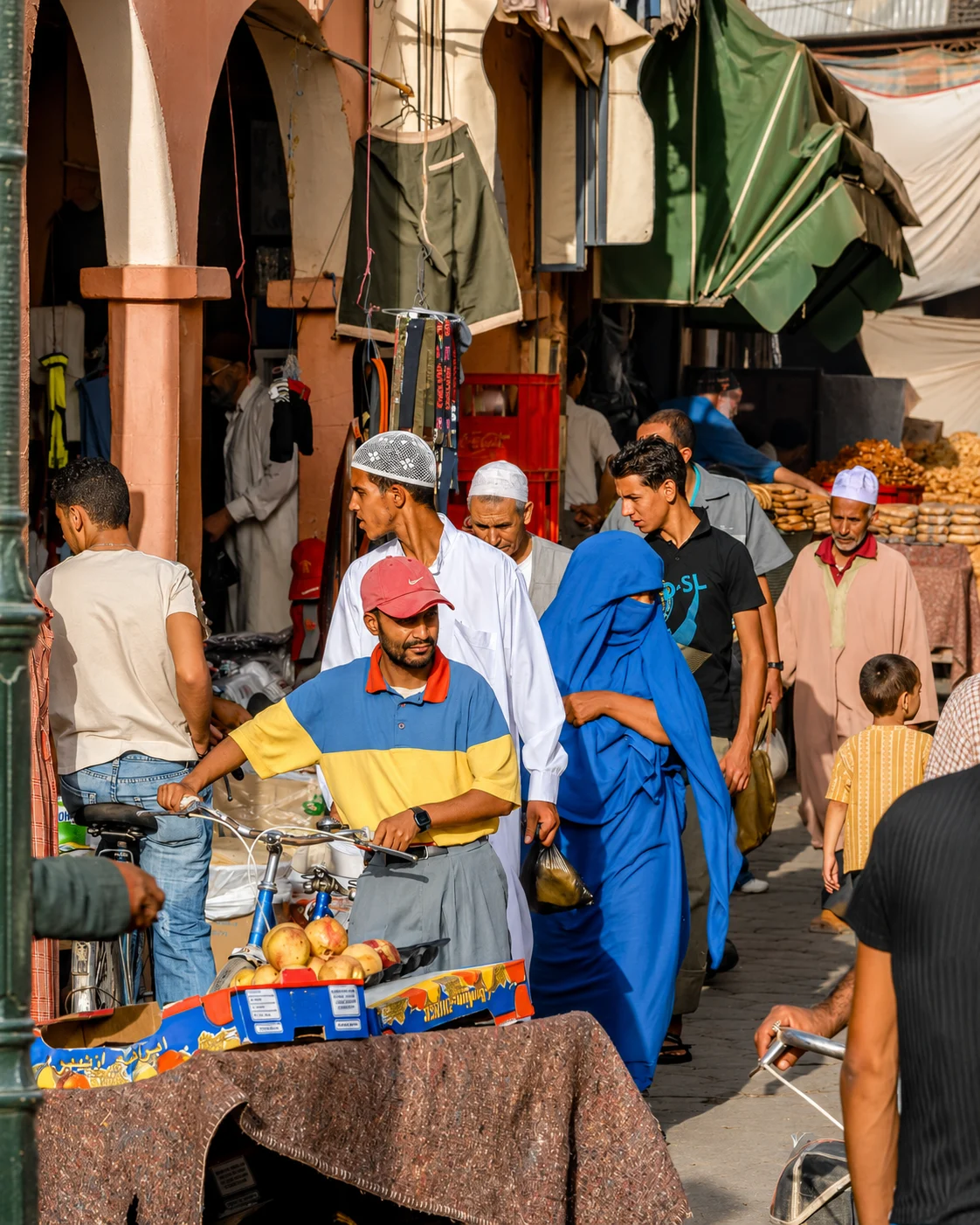
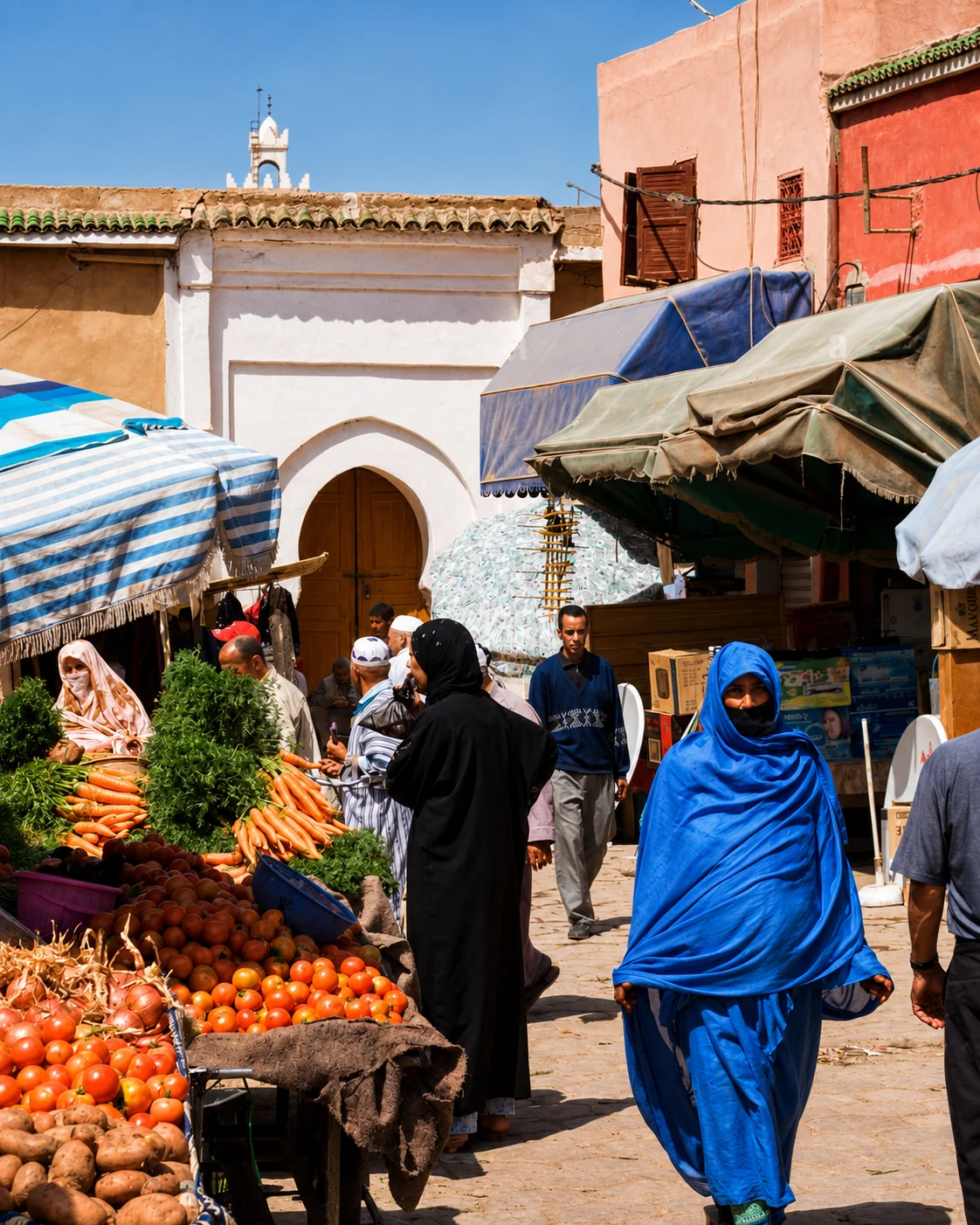
Begin with the relationship between the walls and the inhabited city they enclose. Gates, market routes and neighbourhood streets show different scales of movement. The Souss setting adds an agricultural context that a photograph of a rampart cannot convey alone. Keep time for ordinary commerce as well as a circuit of the walls. Taroudant can be a useful western base, but journeys towards the Anti-Atlas or the inland oasis corridors require their own route planning.
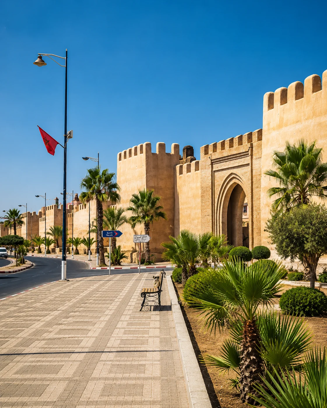 Walled city
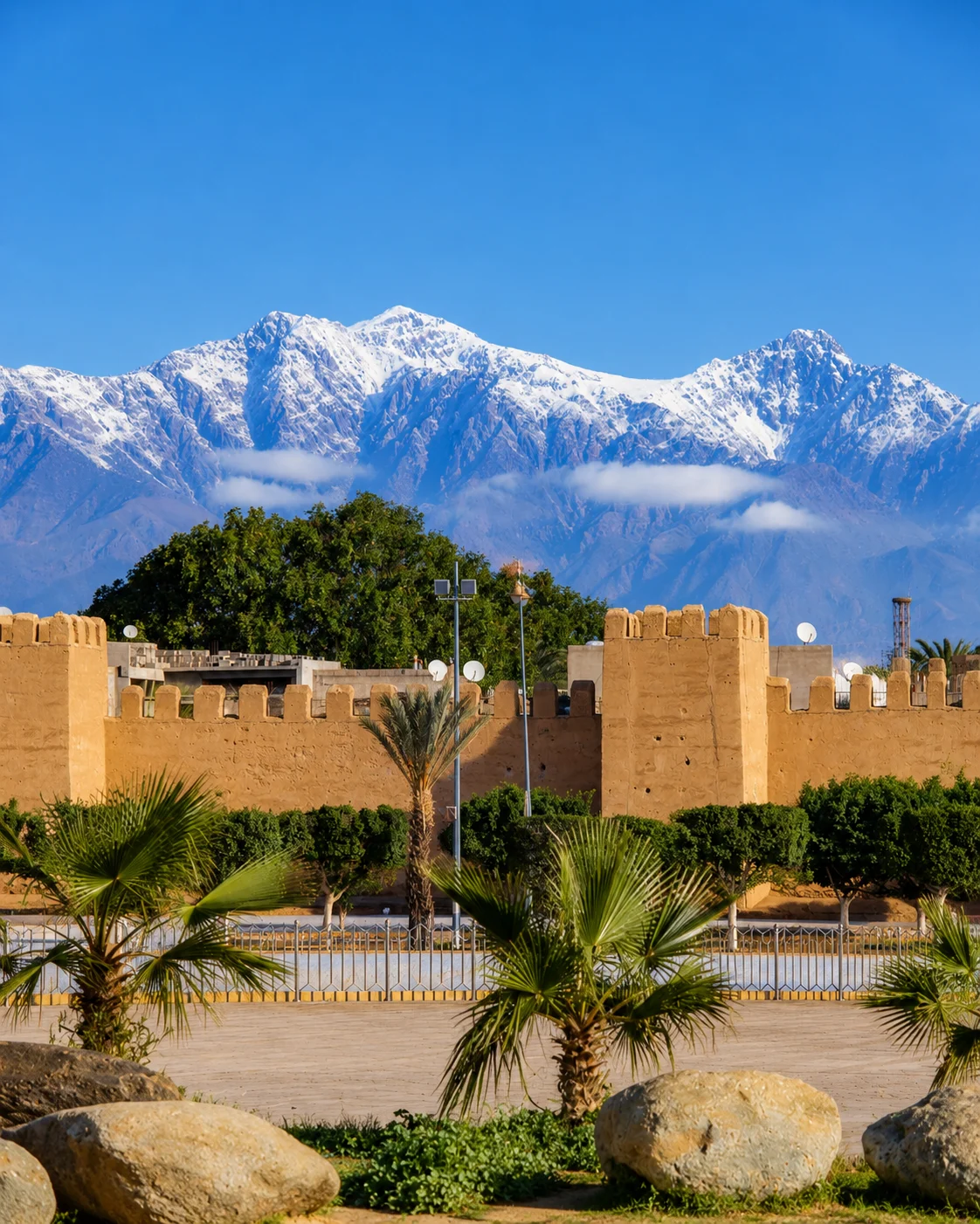 Taroudant ramparts
 Souks
Souks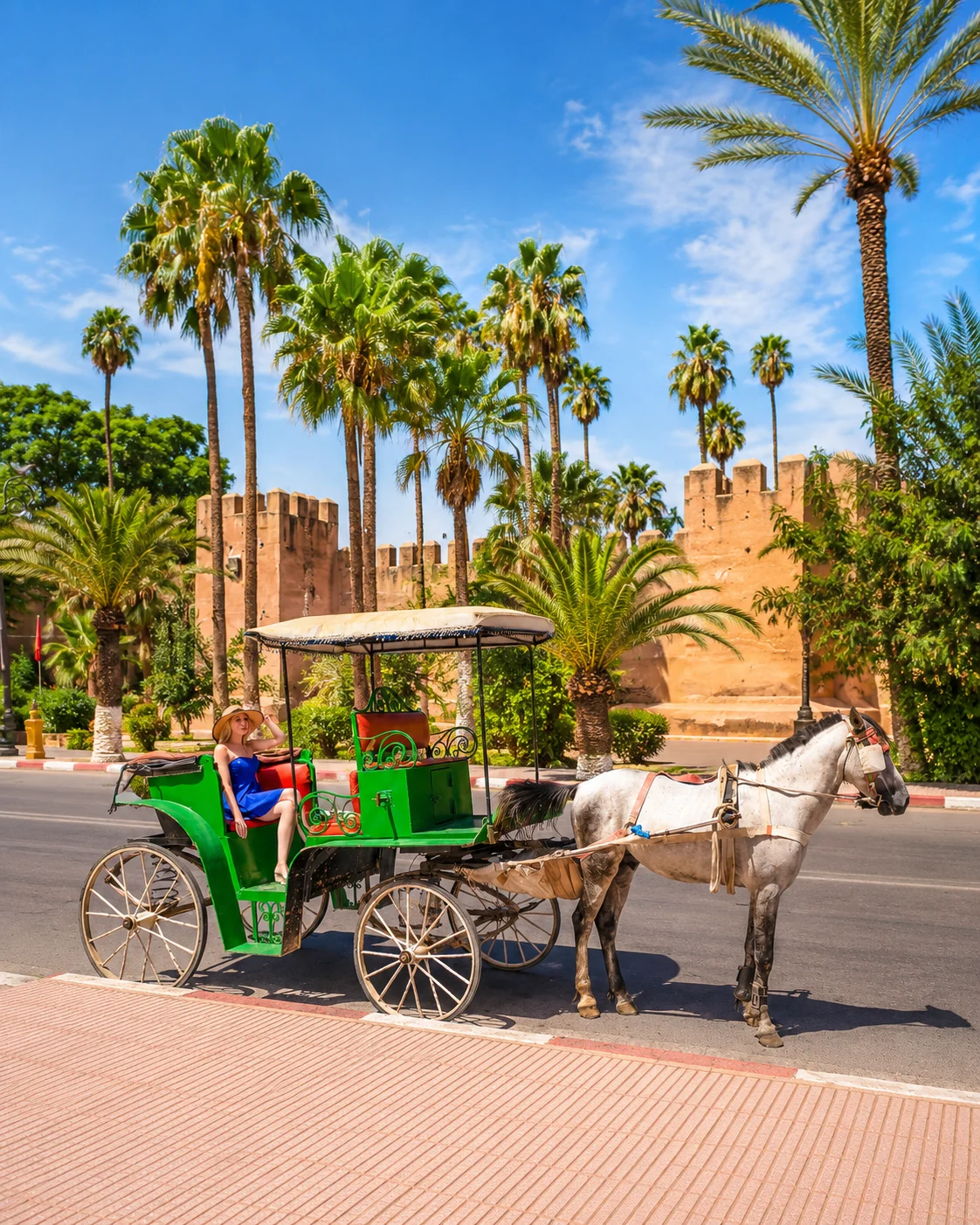 Place Assarag
 Souss Valley
 Tiout oasis
 Anti-Atlas gateway
 Silver city
 Tiznit walls
 Silver souk
 Blue Spring / Aïn Zerka
 Medina gates
 Aglou coast
 Anti-Atlas route
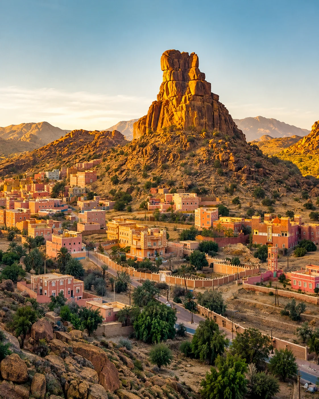
A southern market town known for walls, silver craft and Anti-Atlas access.
Tiznit links medina walls, jewellery workshops, Aïn Zerka and routes toward Aglou and the Anti-Atlas.
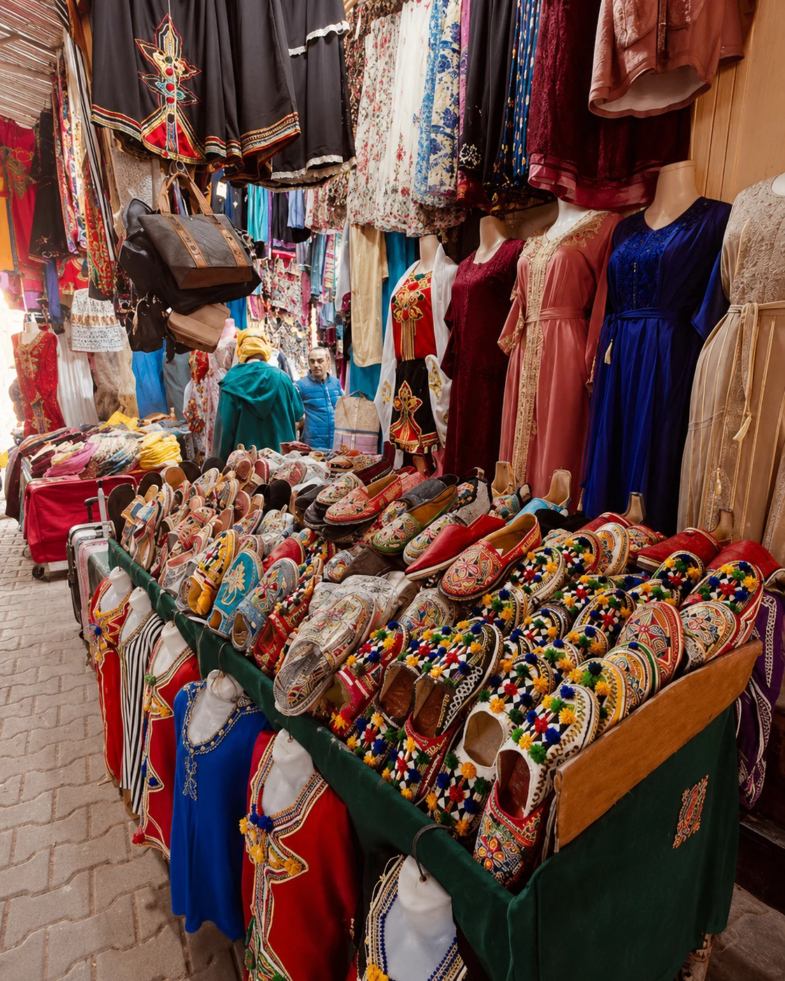
Silverwork makes a strong reason to look closely, provided the discussion stays with a particular object. Ask about material, construction, place of making and repair rather than inferring age or origin from a familiar form. The surrounding town places that craft within present-day trade. Compare the workshop or shop with the streets and gates around it. A move towards the Anti-Atlas changes the journey's terrain; it is a separate excursion from an unhurried medina visit.
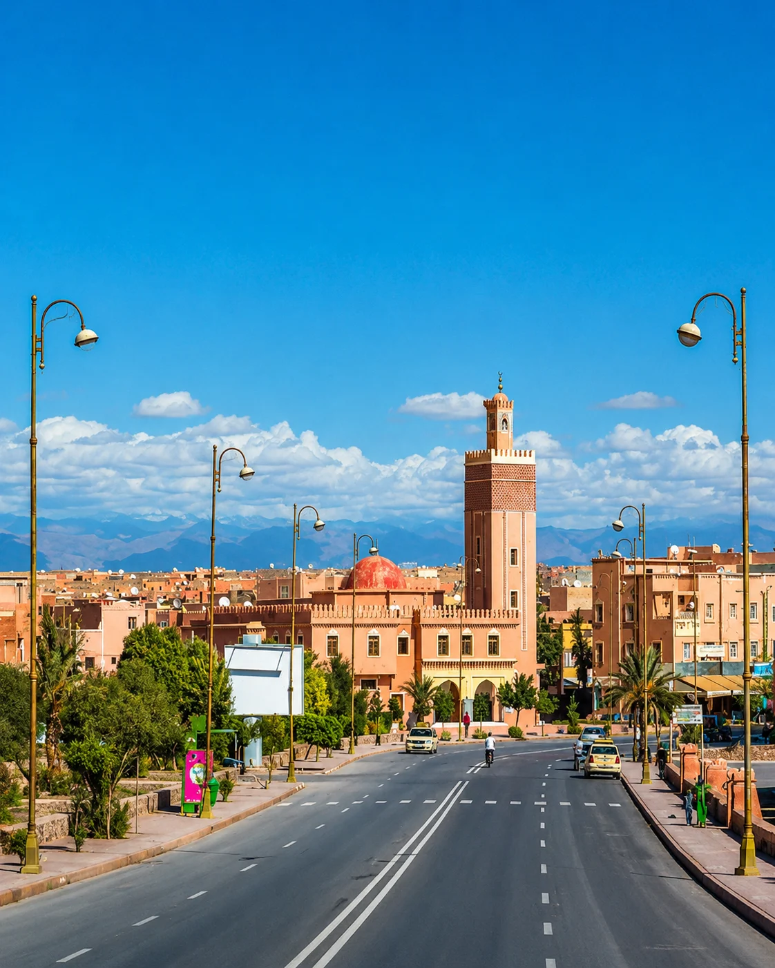
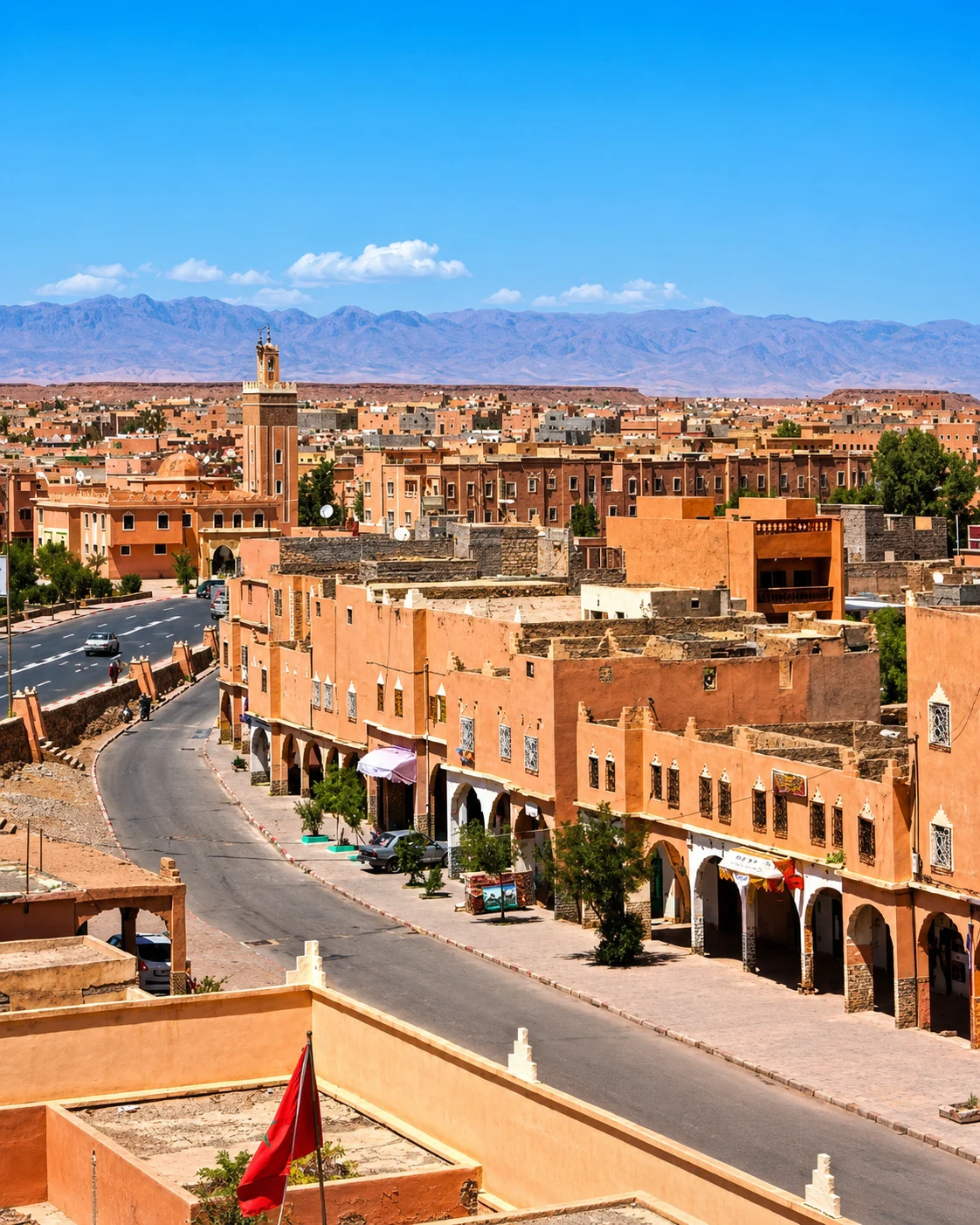
A desert-gateway city tied to kasbah routes, film landscapes and oasis roads.
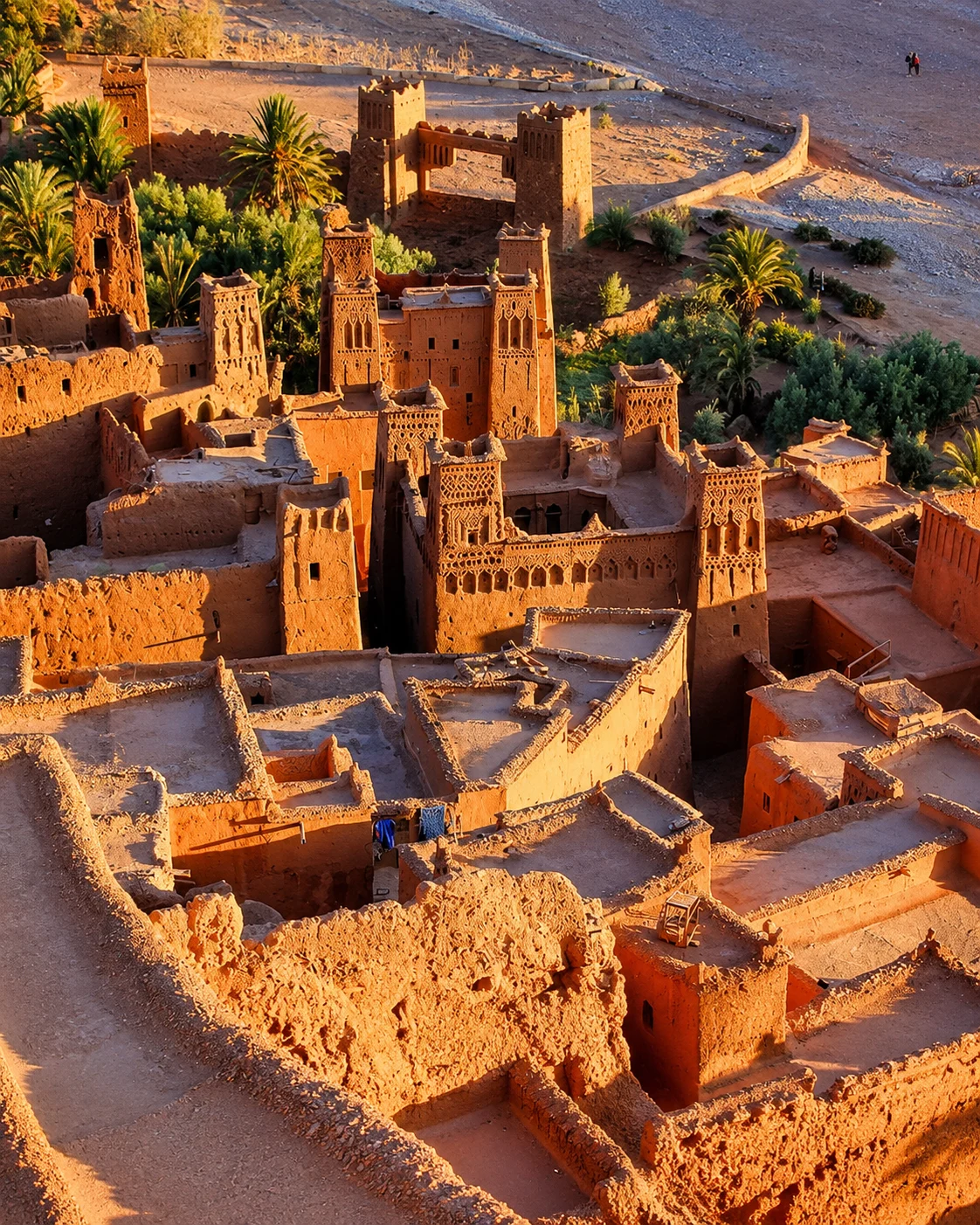
Ouarzazate connects Taourirt Kasbah, nearby Aït Ben Haddou, film studios and the roads toward Drâa and Dadès.
It works as the main hinge between the Atlas crossing and the southern oasis route.
The city is an orientation point between several distinct directions. Aït Ben Haddou, the Dadès corridor and the Drâa Valley each open a different landscape, so choose a coherent sequence instead of promising all of them in one brief stop. Earthen architecture deserves attention to walls, roofs, repair and use. A film setting and an inhabited historic settlement may produce related images but represent different kinds of place. Make that distinction explicit in how you explore and describe them.
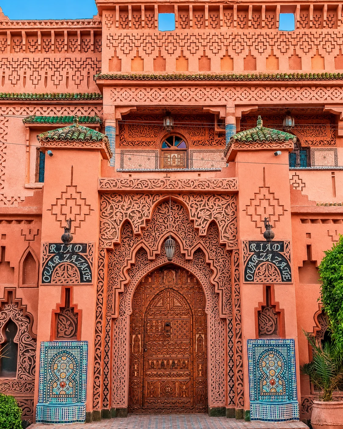 Kasbah gateway
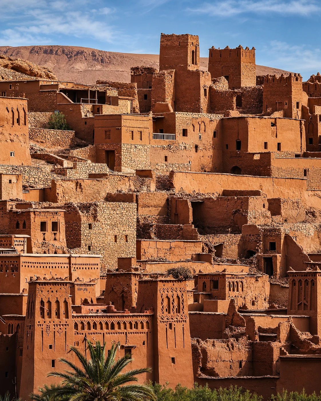
 Taourirt Kasbah
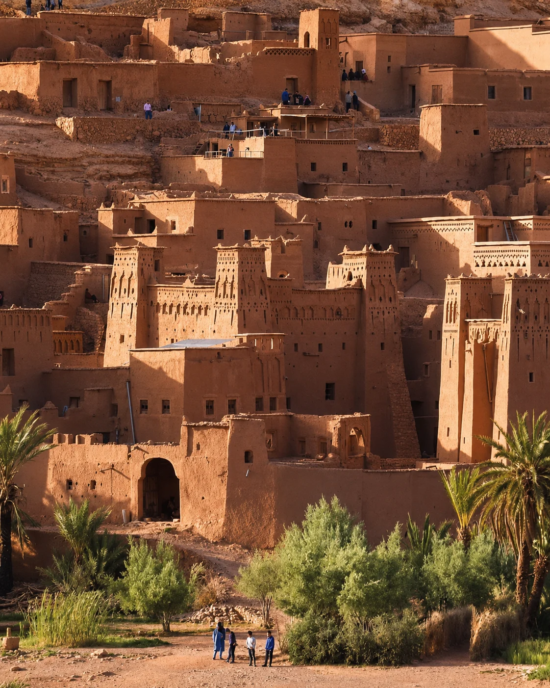
 Aït Ben Haddou
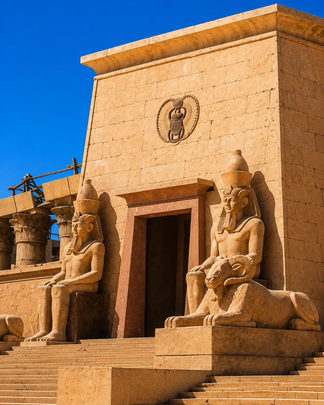 Film studios
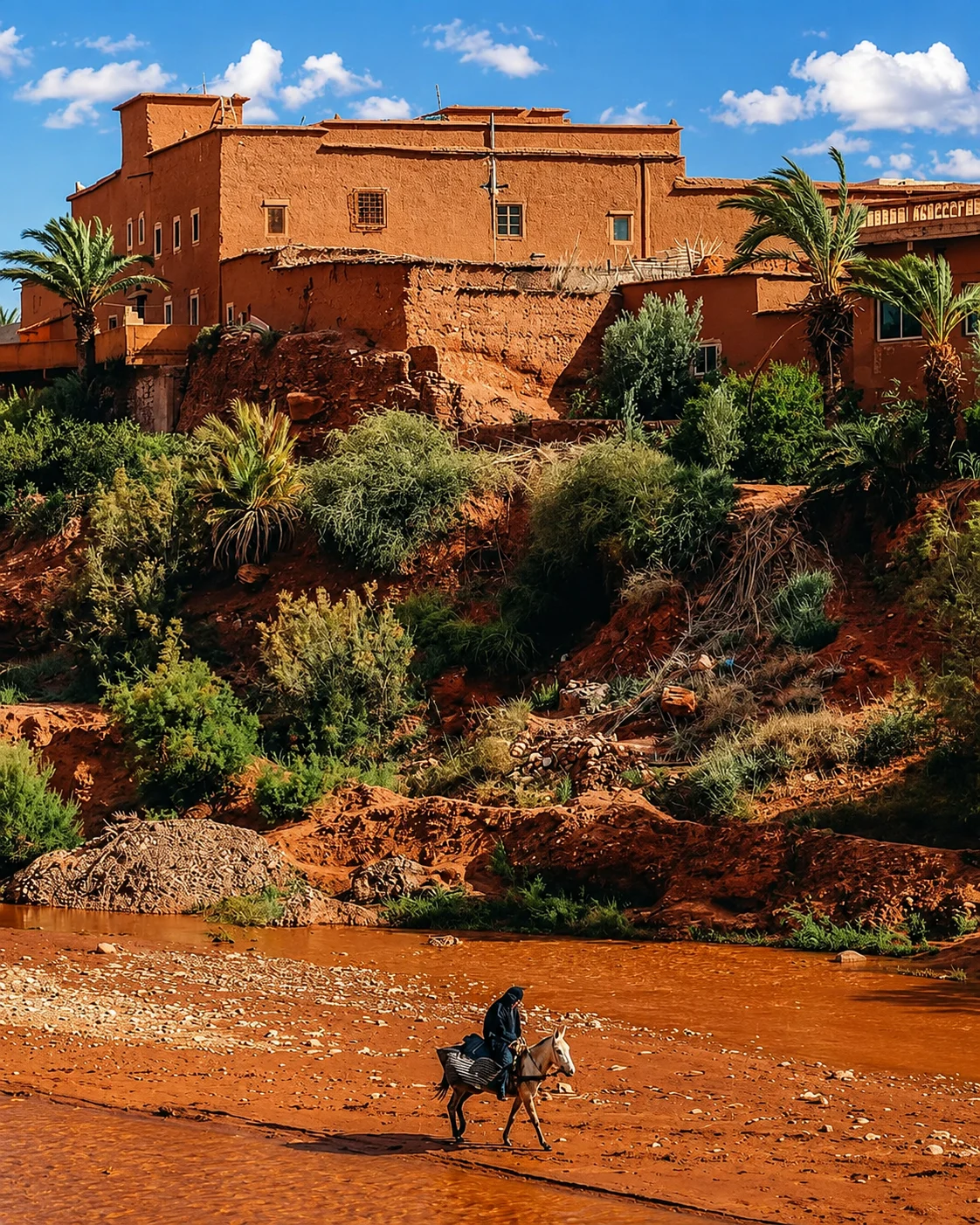
 Fint Oasis
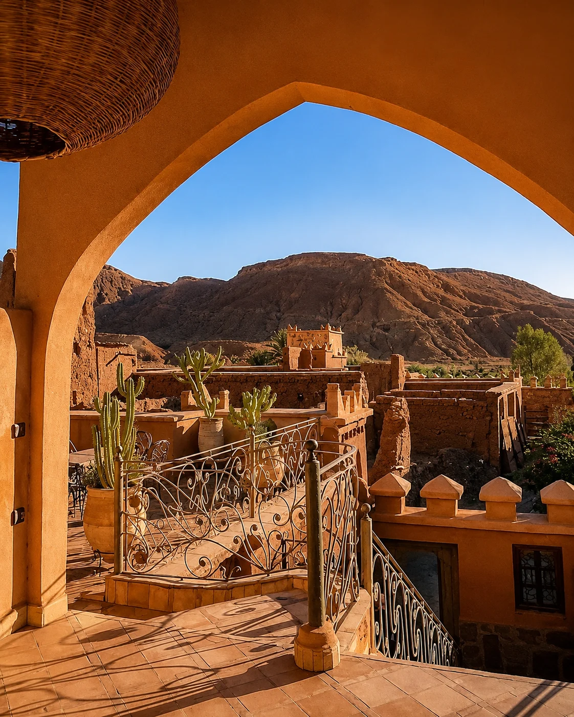
 Skoura
 Desert gateway
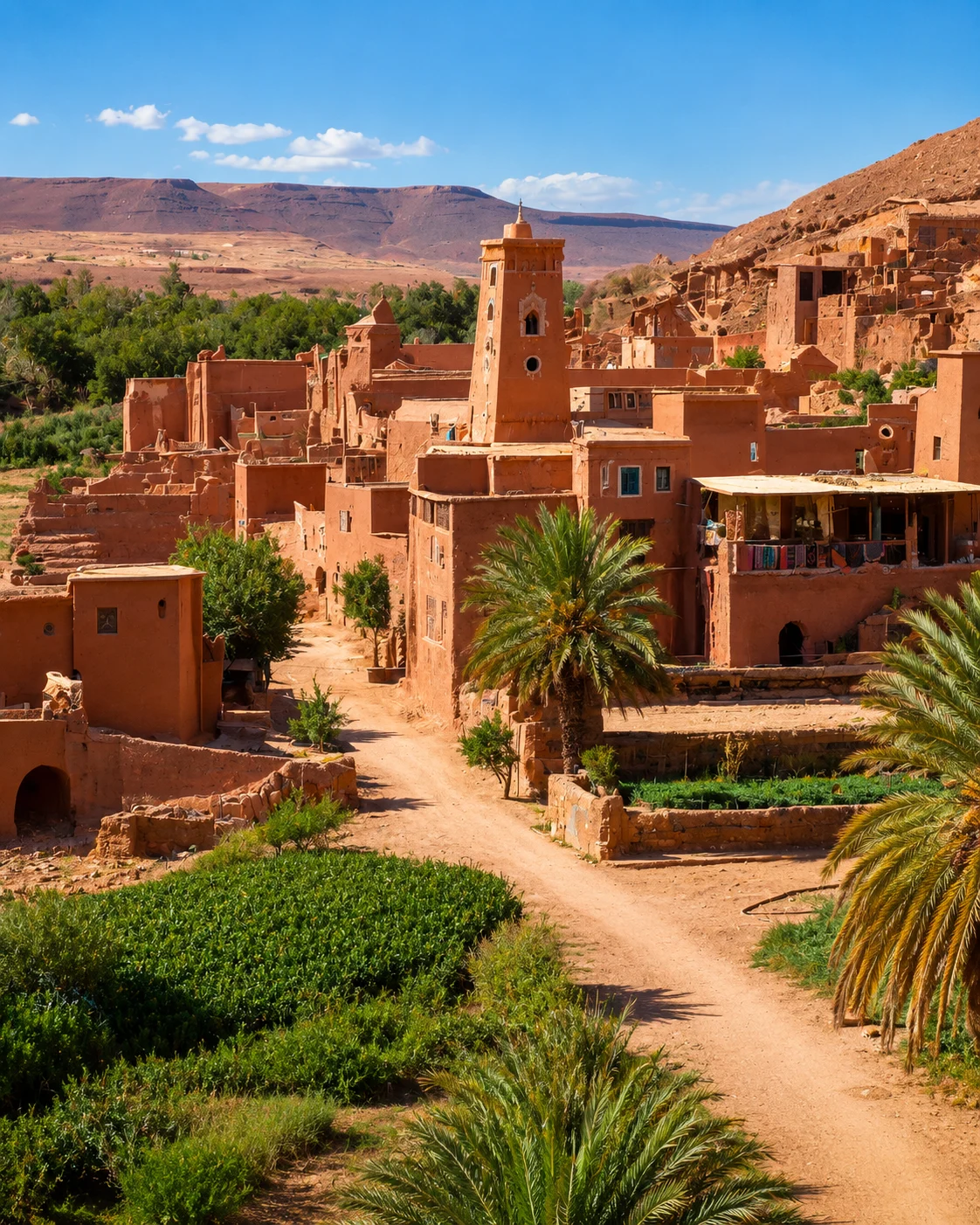 Rose town
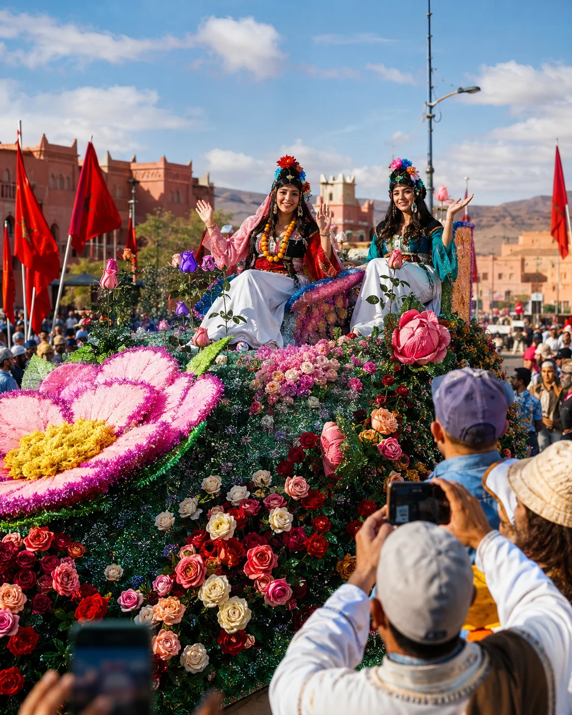 Rose Valley
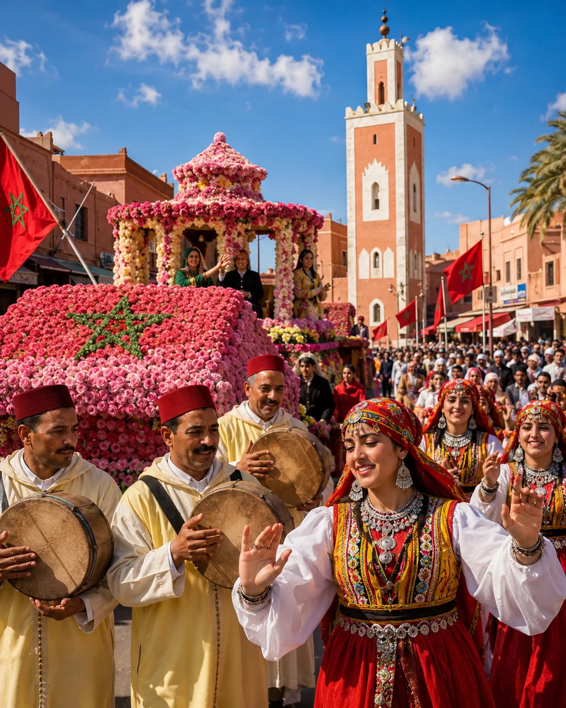 Rose Festival
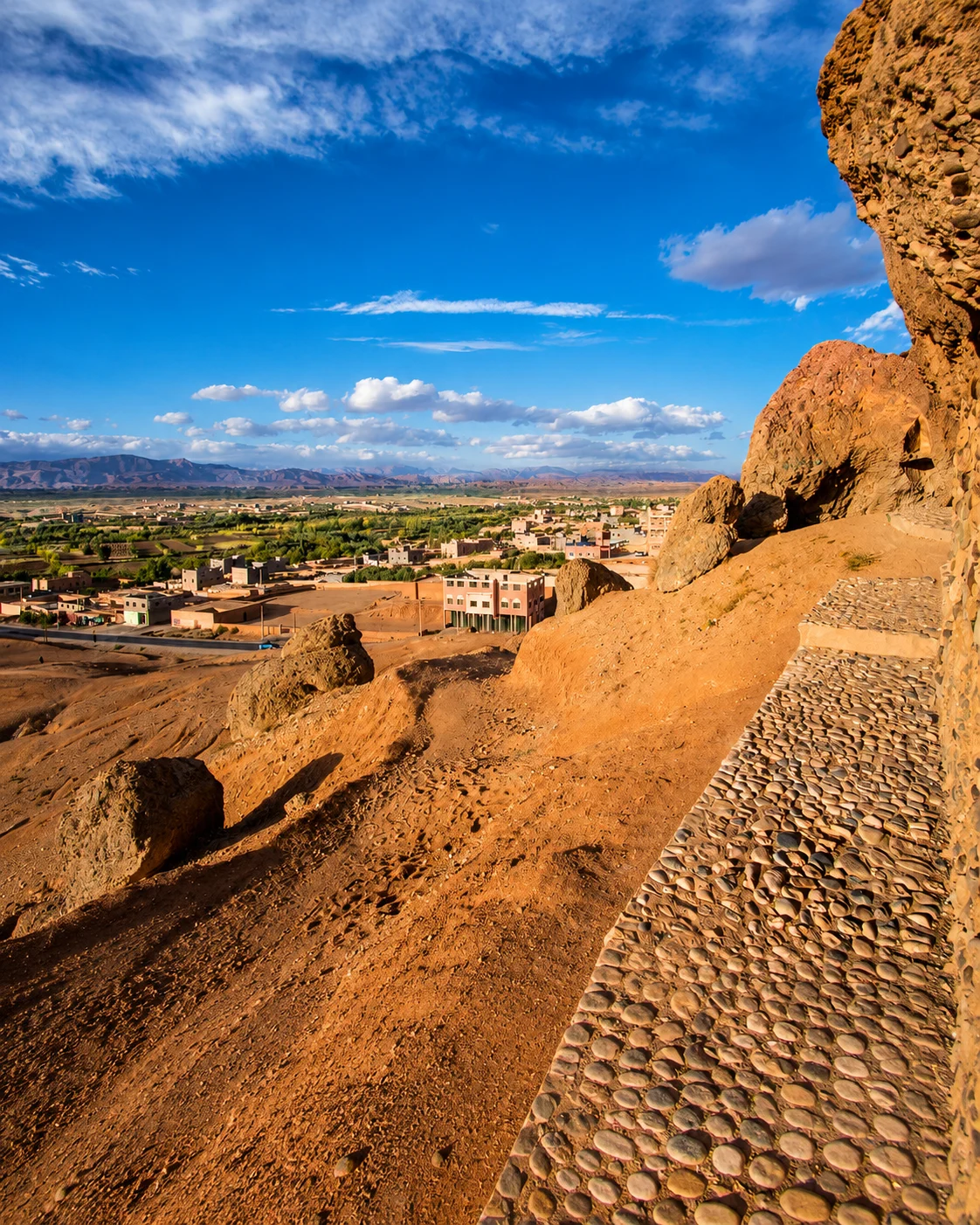 Dadès Valley
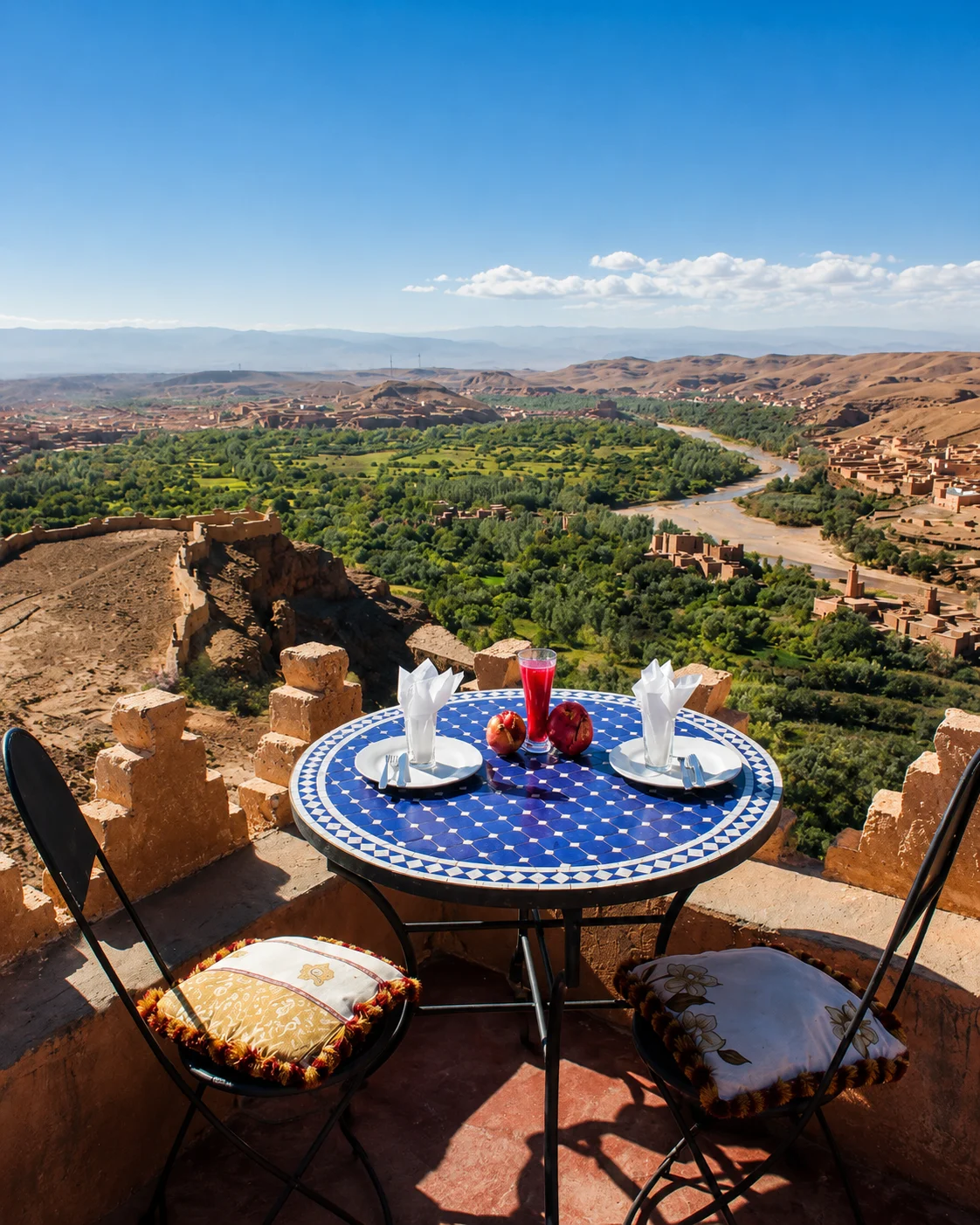 M’Goun foothills
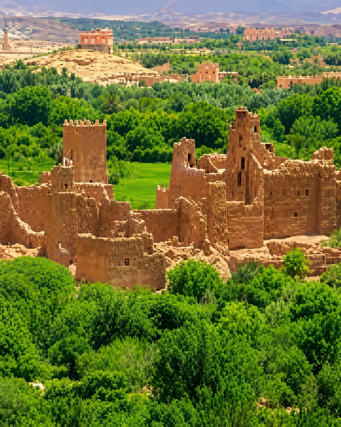 Valley villages
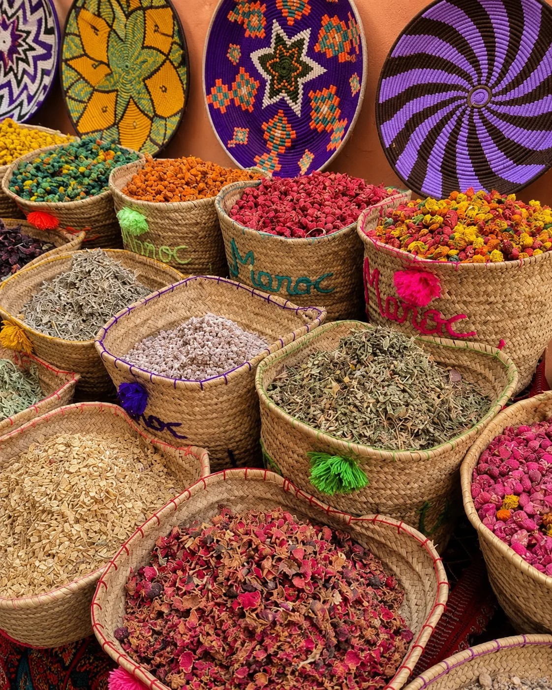 Rose products
A valley town shaped by rose cultivation, spring festival culture and Dadès-area scenery.
Kelaat M’Gouna gives the southern route a softer valley layer through roses, villages and foothill landscapes.
It sits naturally between Ouarzazate, Dadès and Tinghir on the kasbah-and-oasis corridor.
Rose cultivation belongs to an agricultural calendar, not a year-round guarantee of flowering fields. The valley has a life outside its best-known season. Look at water, paths, settlements and the work connecting them, and ask locally about what is happening during your visit. Rose products also deserve the same specific questions as other crafts: ingredients, preparation and who produced them. The stop can deepen a valley journey when it includes those relationships rather than only a branded souvenir.
An oasis-edge town known for Todra palms, kasbahs and canyon scenery.
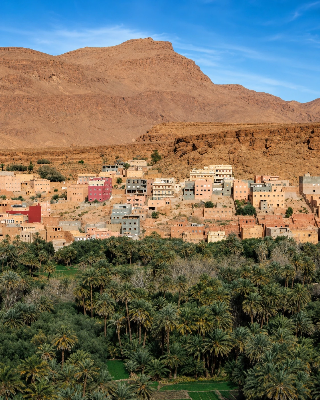
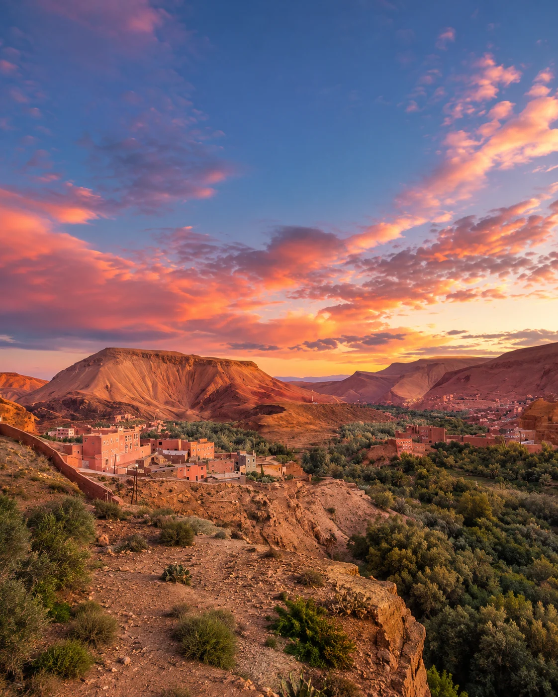
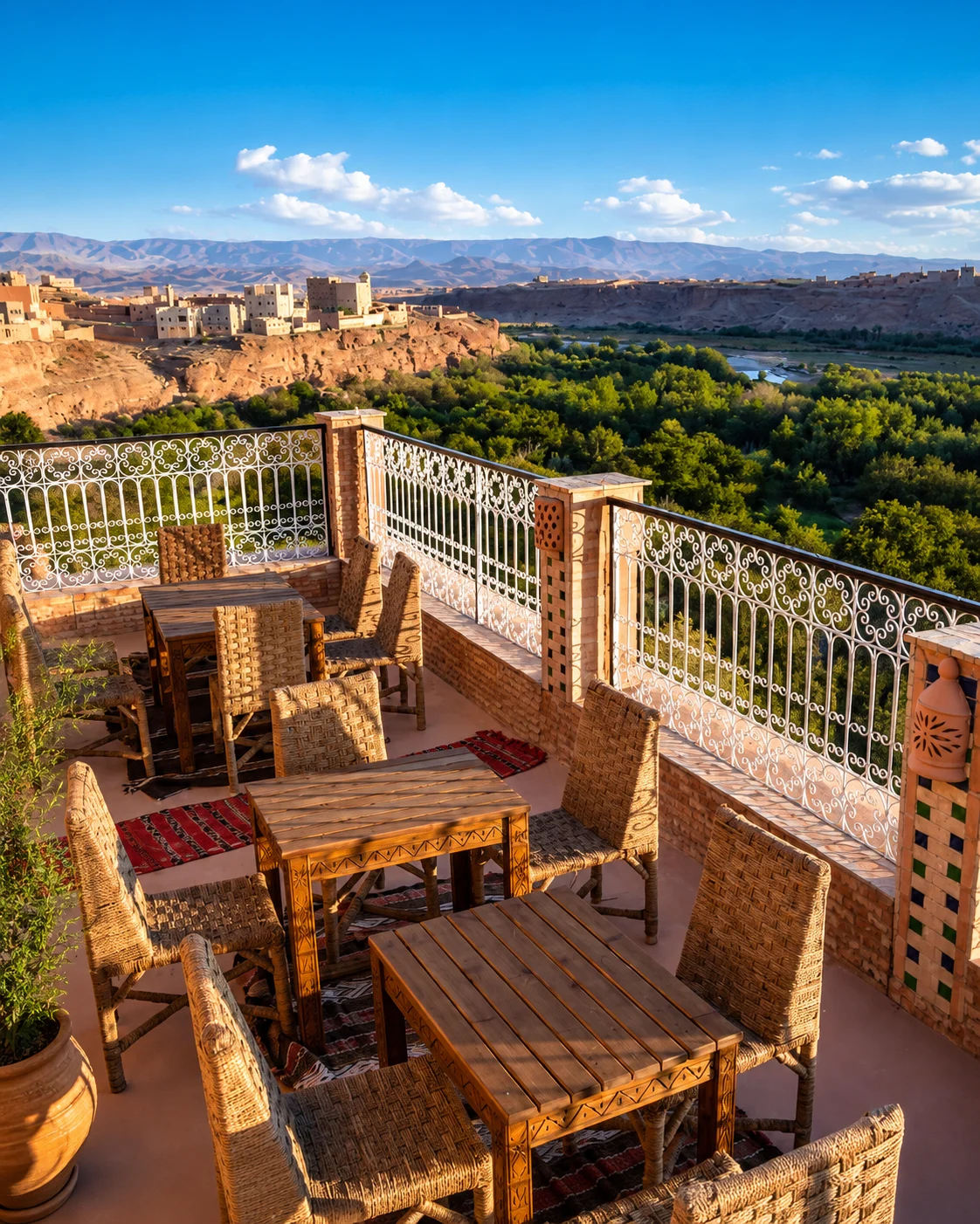
Tinghir brings palms, old kasbahs and Todra Gorge into the route, with valley roads beneath mountain edges.
It is one of the clearest places to read the meeting of oasis agriculture and canyon landscape.
The palm landscape and the gorge should be given separate attention. A cultivated oasis asks you to notice plots, channels, boundaries and routes used for work; the canyon foregrounds rock, scale and the changing space around a road or path. Neither view explains the whole place. Ask which walks are currently appropriate and avoid entering cultivated areas without permission. Time in Tinghir itself can connect the landscape to markets and services supporting the surrounding settlements.
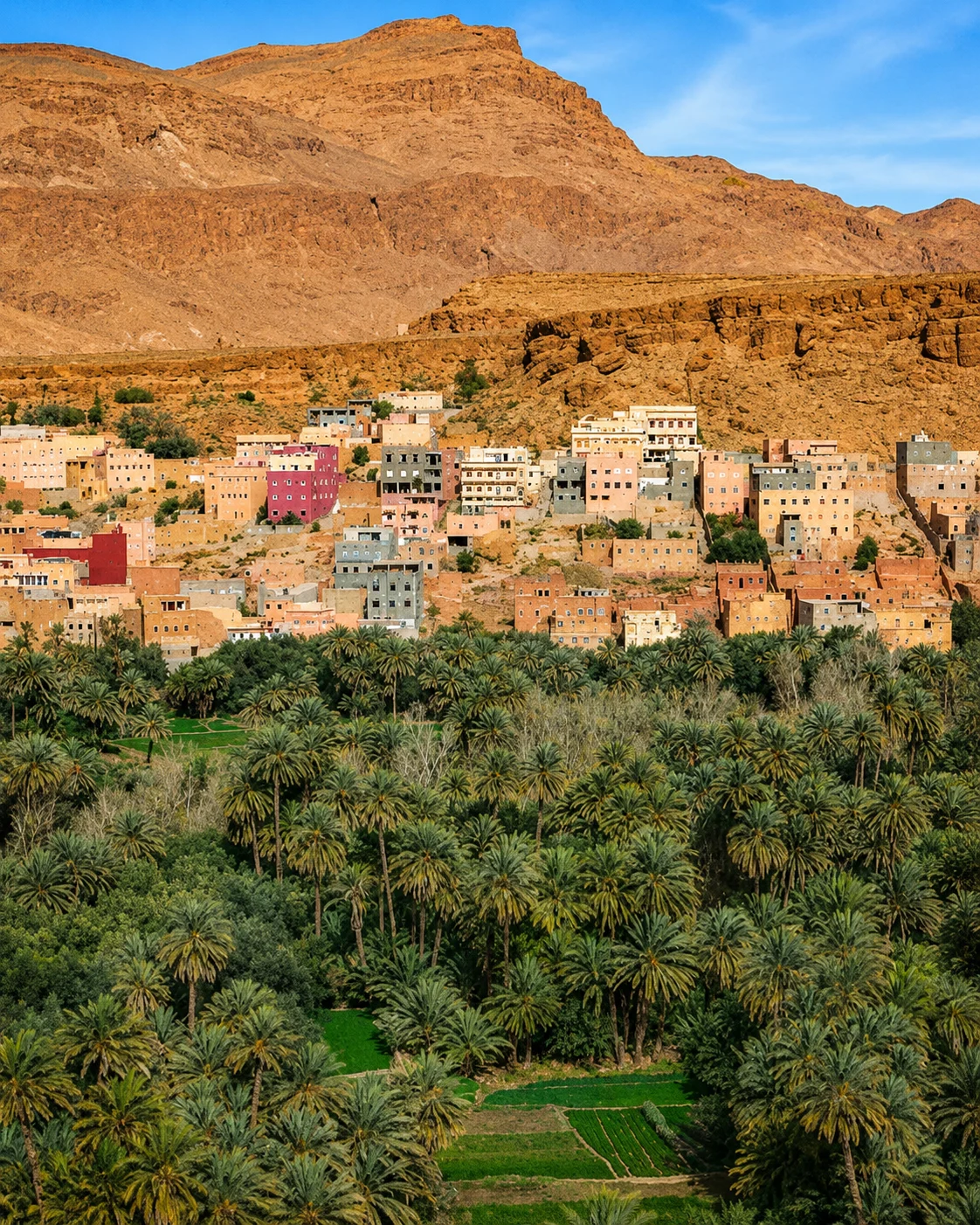 Todra oasis
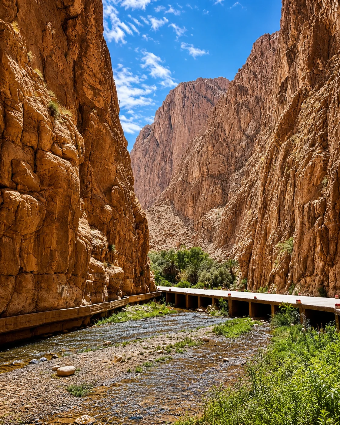 Todra Gorge
 Todra palms
 Tinghir oasis
 Old kasbahs
 High Atlas edge
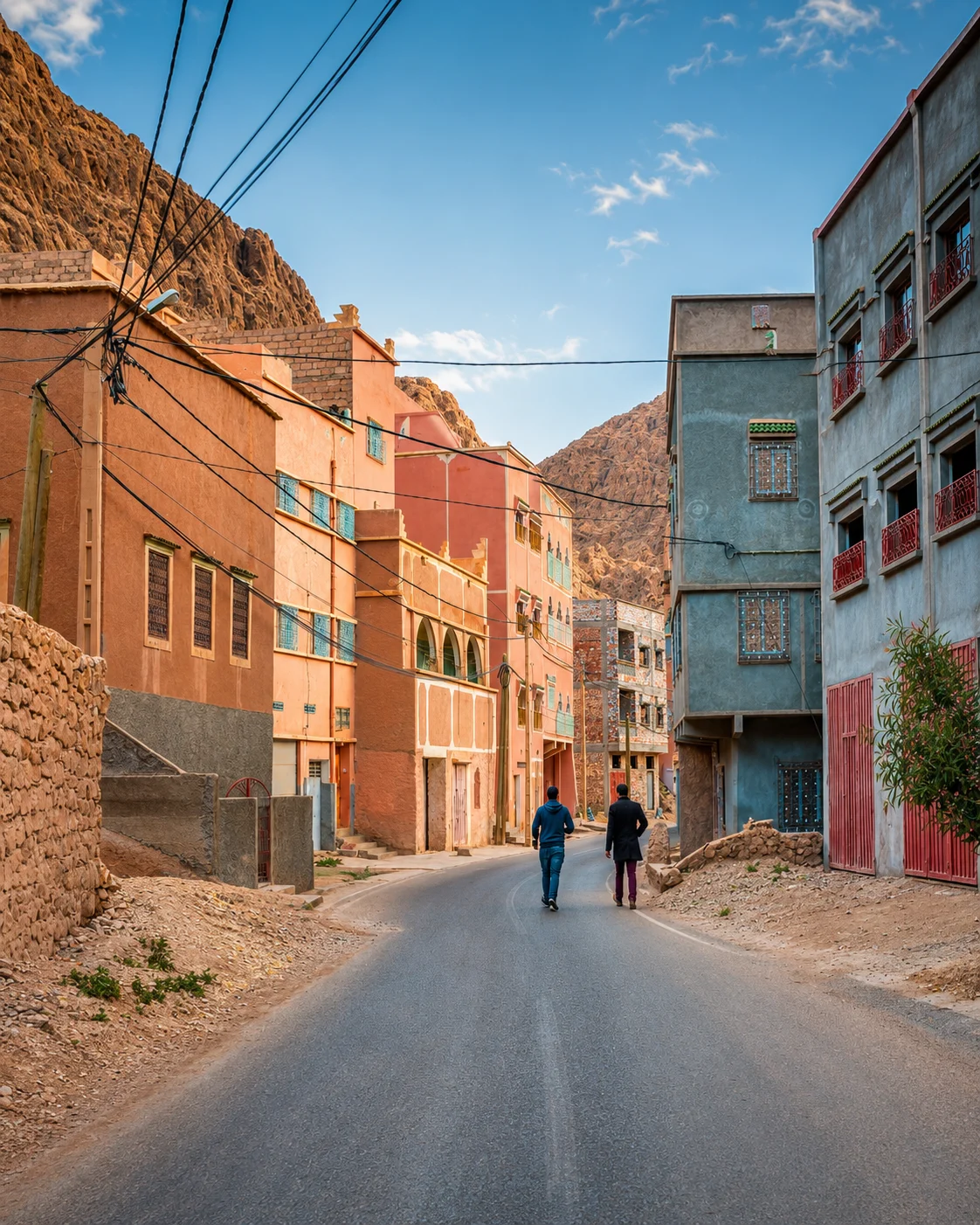 Valley road
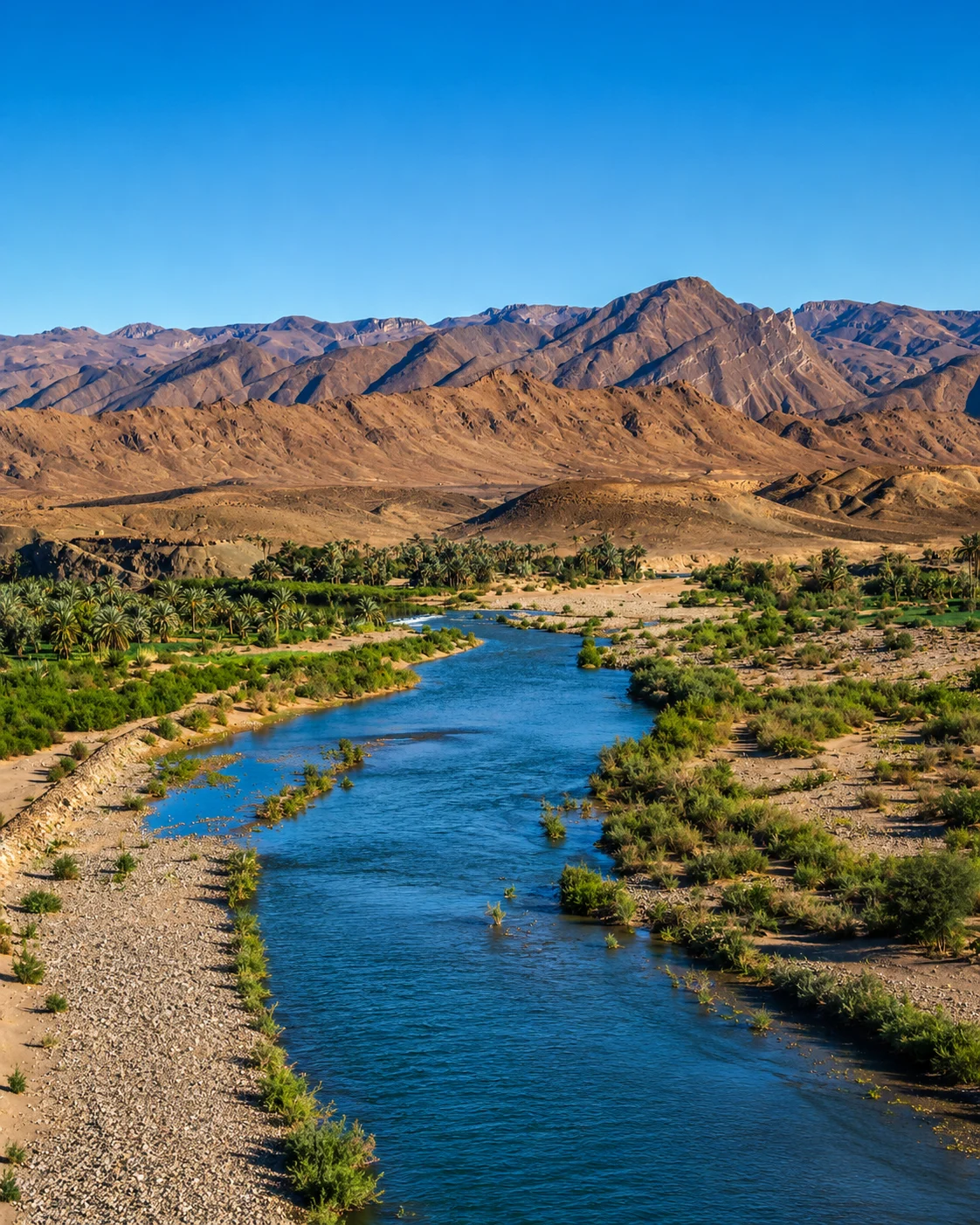 Drâa gateway
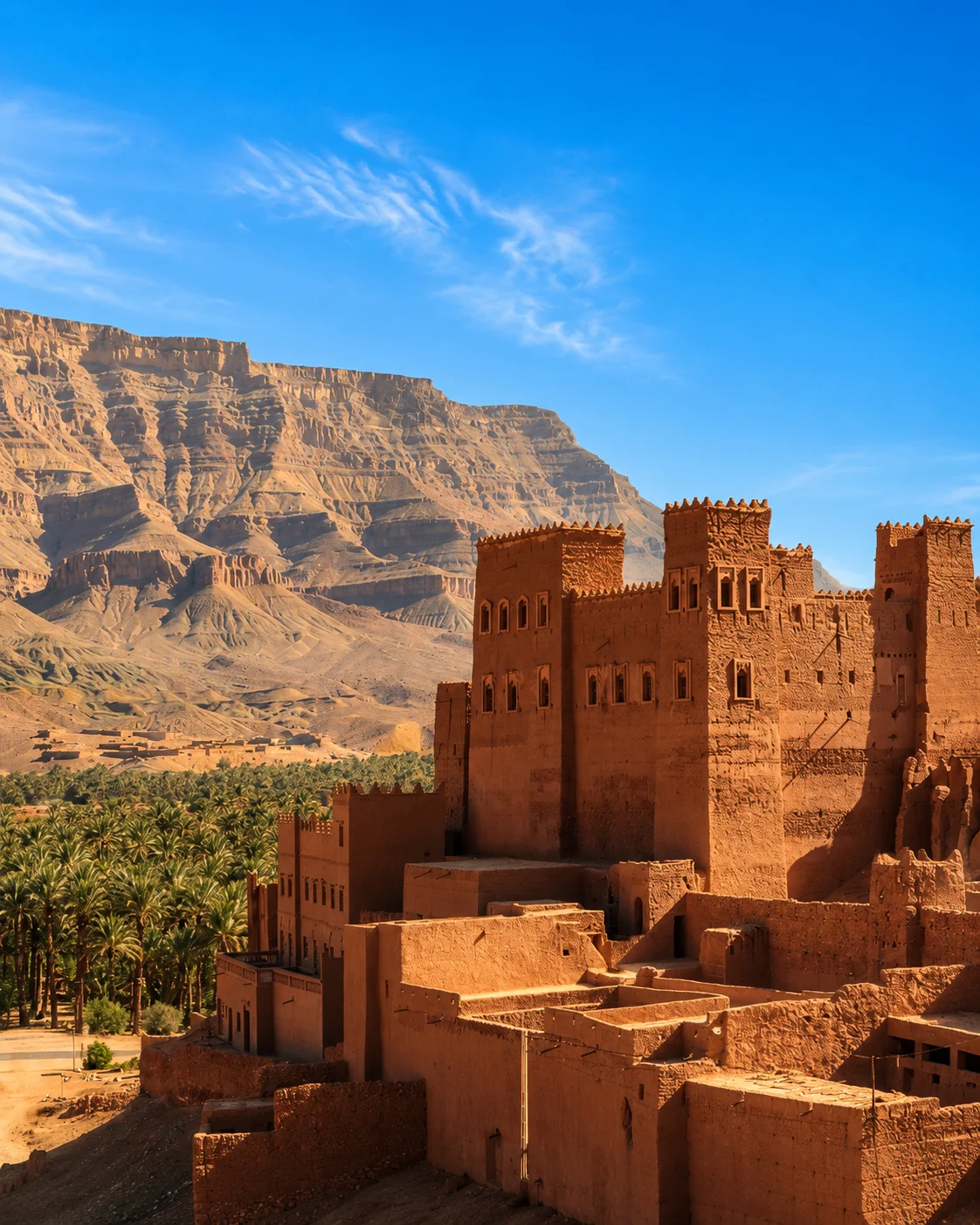 Drâa Valley
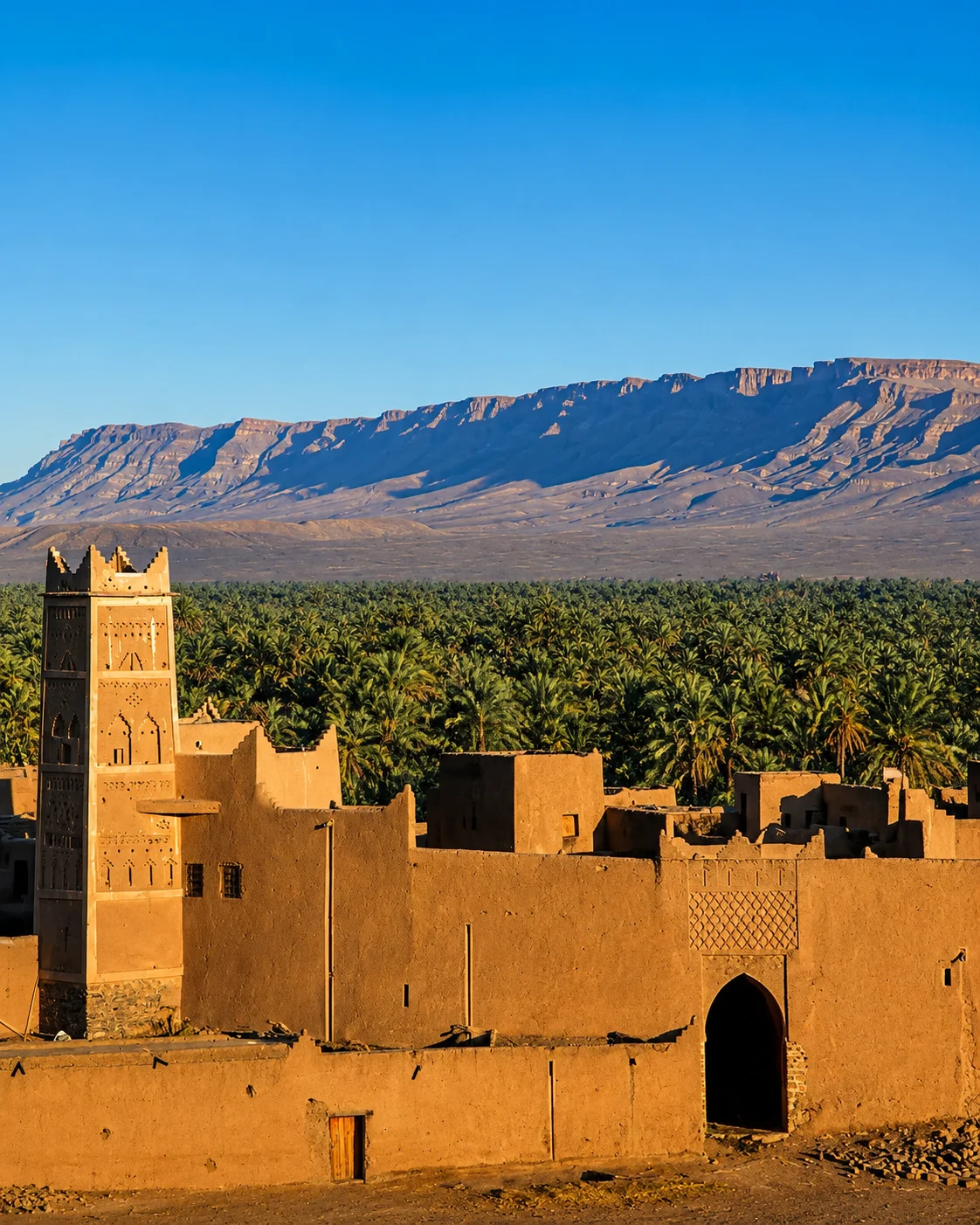 Palm oases
 Zagora sign
 Tamgroute
 Tinfou dunes
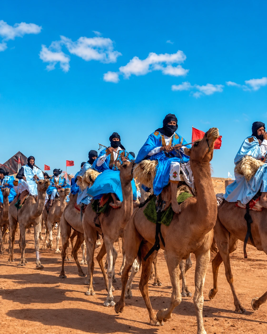 Caravan route
A southern oasis gateway where the Drâa route turns toward desert atmosphere.
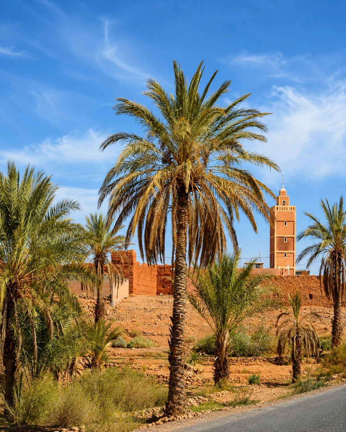
Zagora sits on the Drâa corridor, close to palm oases, Tamgroute and the Tinfou dune approach.
Follow the Drâa corridor as an inhabited valley before treating it as an approach to dunes. Palm groves, towns and earthen buildings create a sequence of cultivated and built space. Tamgroute can add a distinct craft and learning context when access is confirmed. Caravan memory is a historical thread, not a reason to describe today's roads as unchanged ancient routes. Local accounts and documented sites help keep the connection precise while leaving present-day work visible.
A desert-edge village at the end of the Drâa route and a gateway to deeper dunes.
M’Hamid marks the shift from oasis road to Sahara track, with Erg Chigaga reached beyond the village.
Use it for the route’s nomadic and bivouac layer, kept factual and tied to verified desert geography.
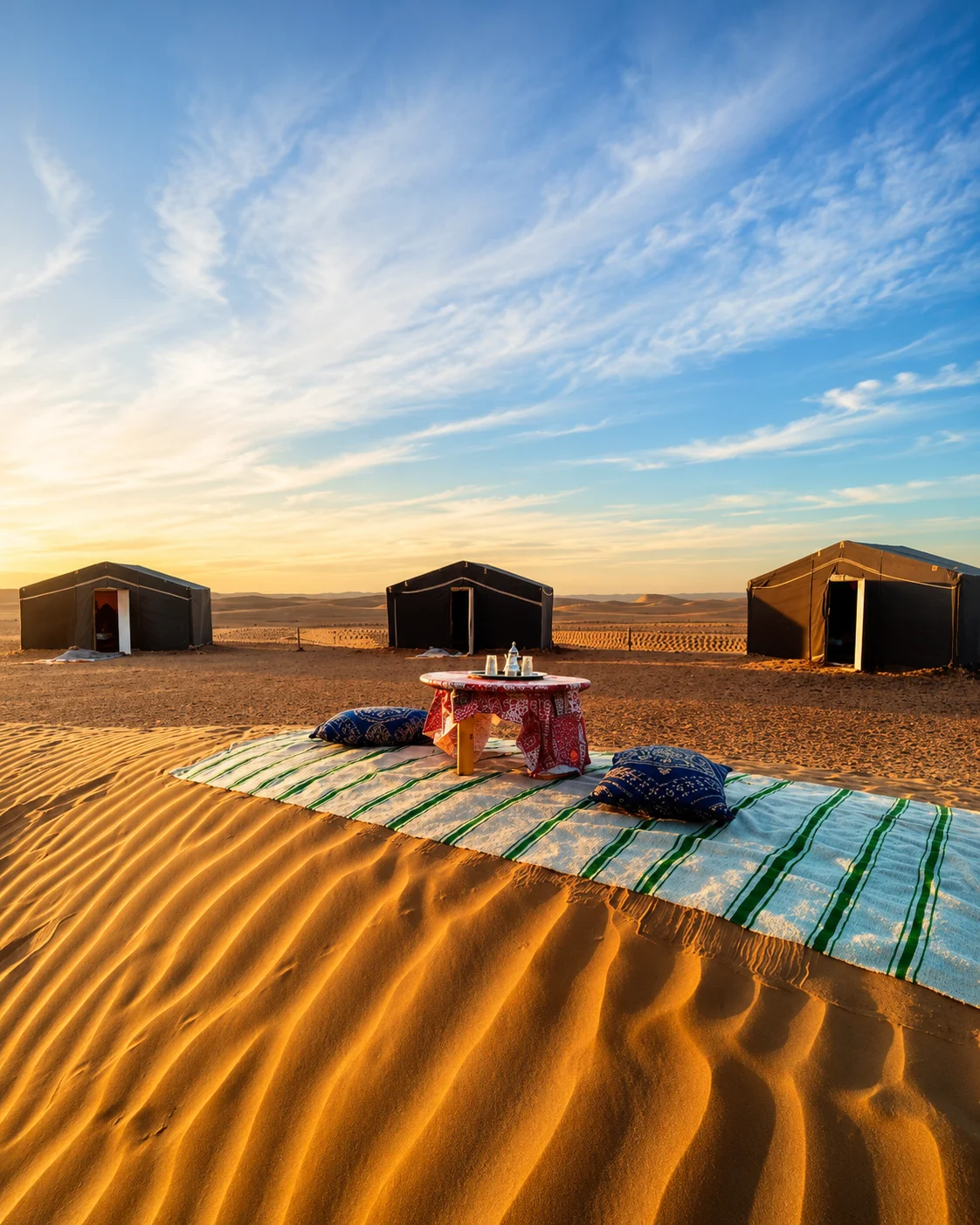
A road arrival and an excursion beyond the village are different experiences. Establish the route, duration, transport and arrangements with a responsible local operator before heading towards more remote dunes. Ask how a camp manages water and waste, and what the experience actually includes. The village and nearby cultivated spaces deserve attention in their own right. They show the relationship between a desert landscape and the people whose daily lives continue when a visitor's overnight excursion ends.
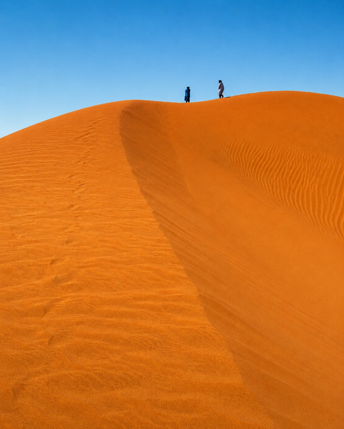 Desert-edge village
 Erg Chigaga
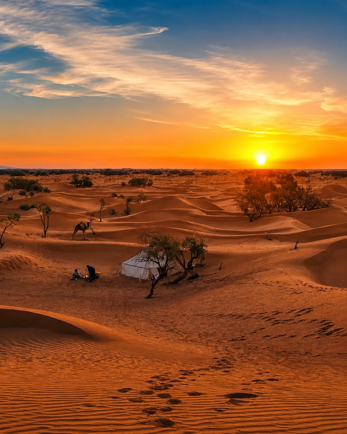 Desert bivouacs
 Nomadic routes
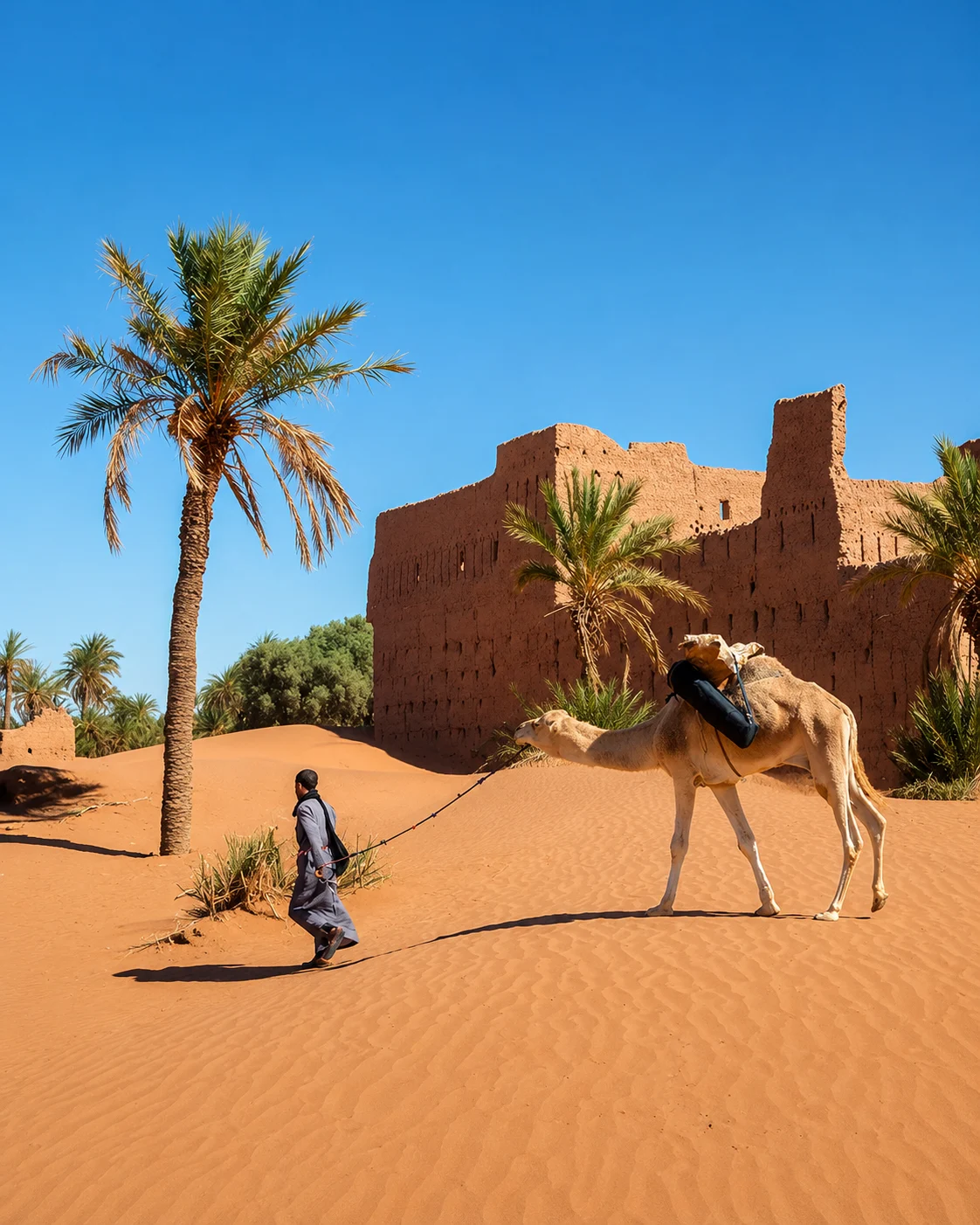
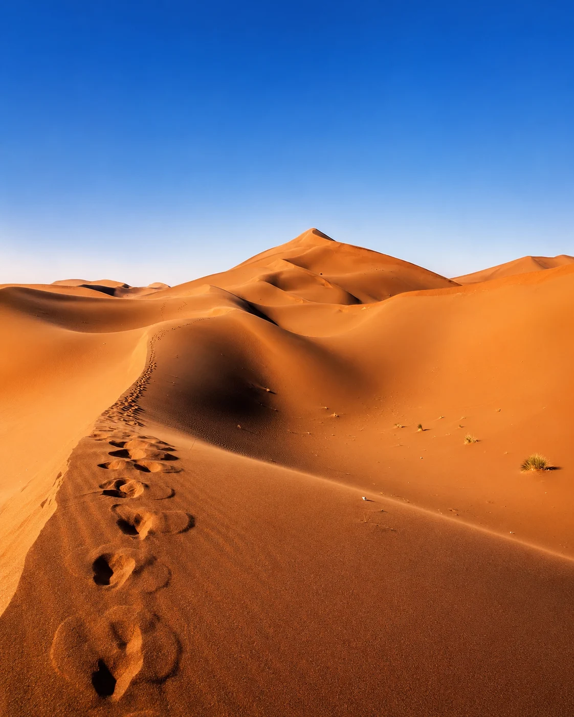 Drâa end route
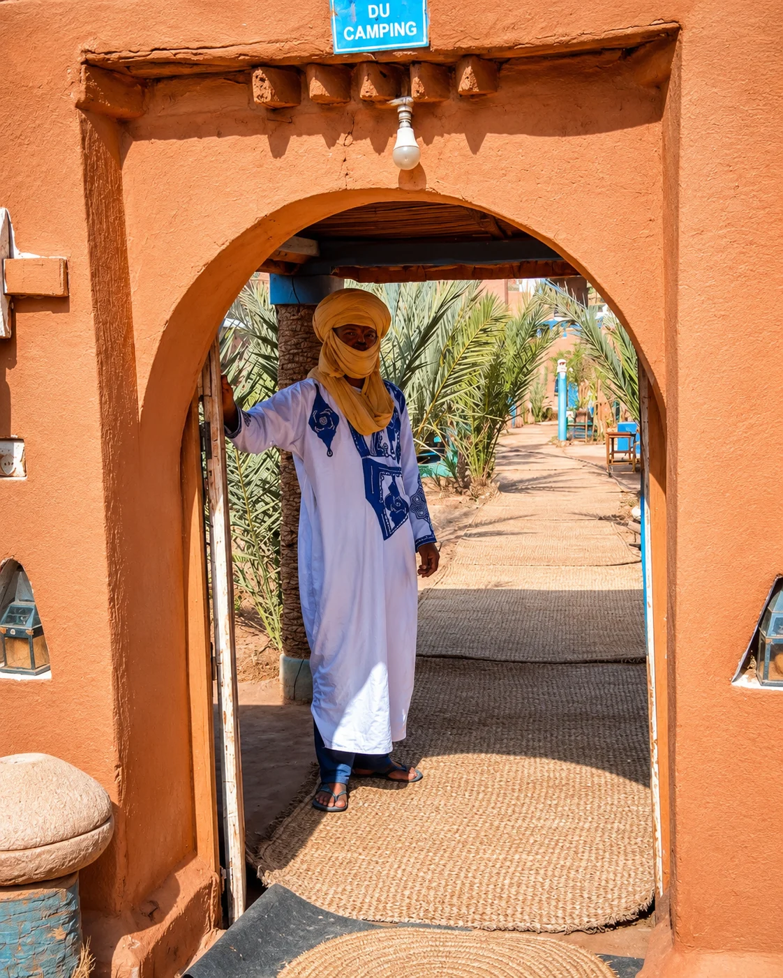 Camel tracks
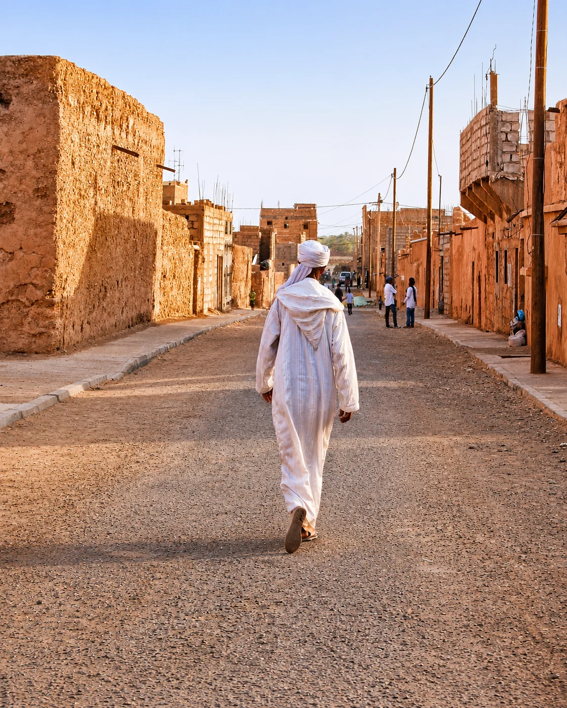 Sahara edge
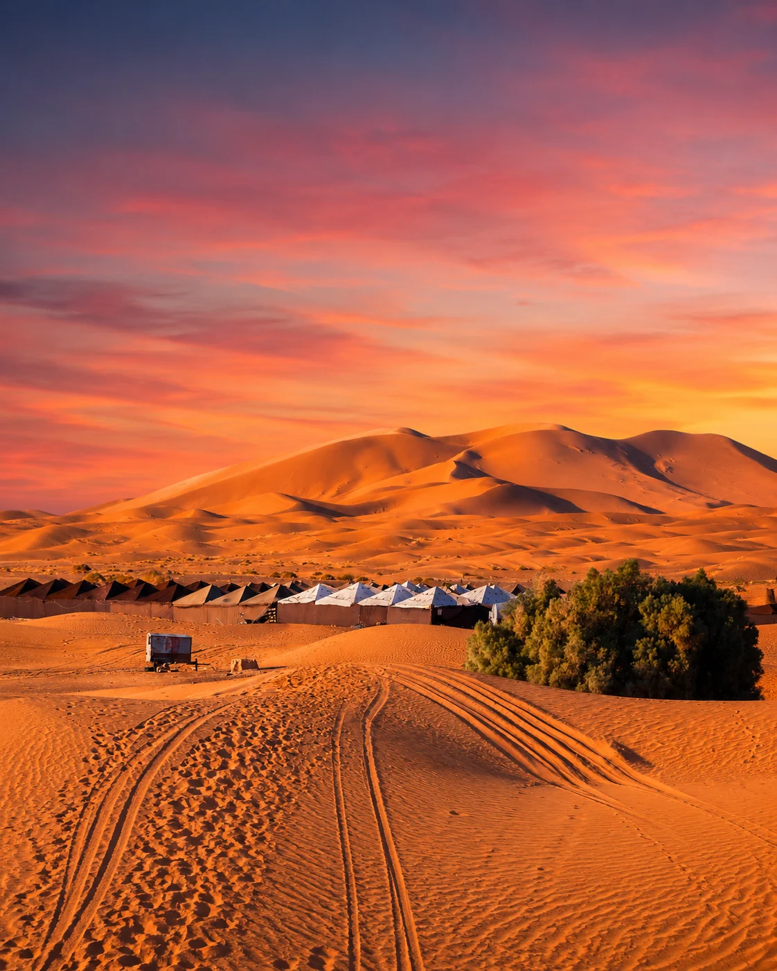 Erg Chebbi dunes
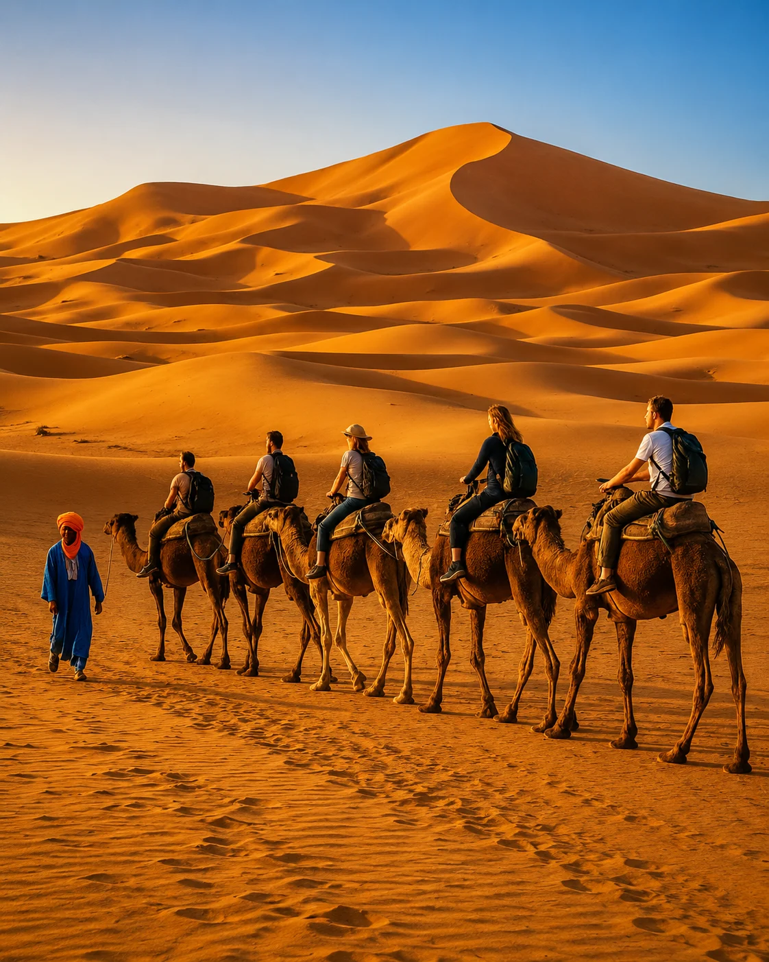
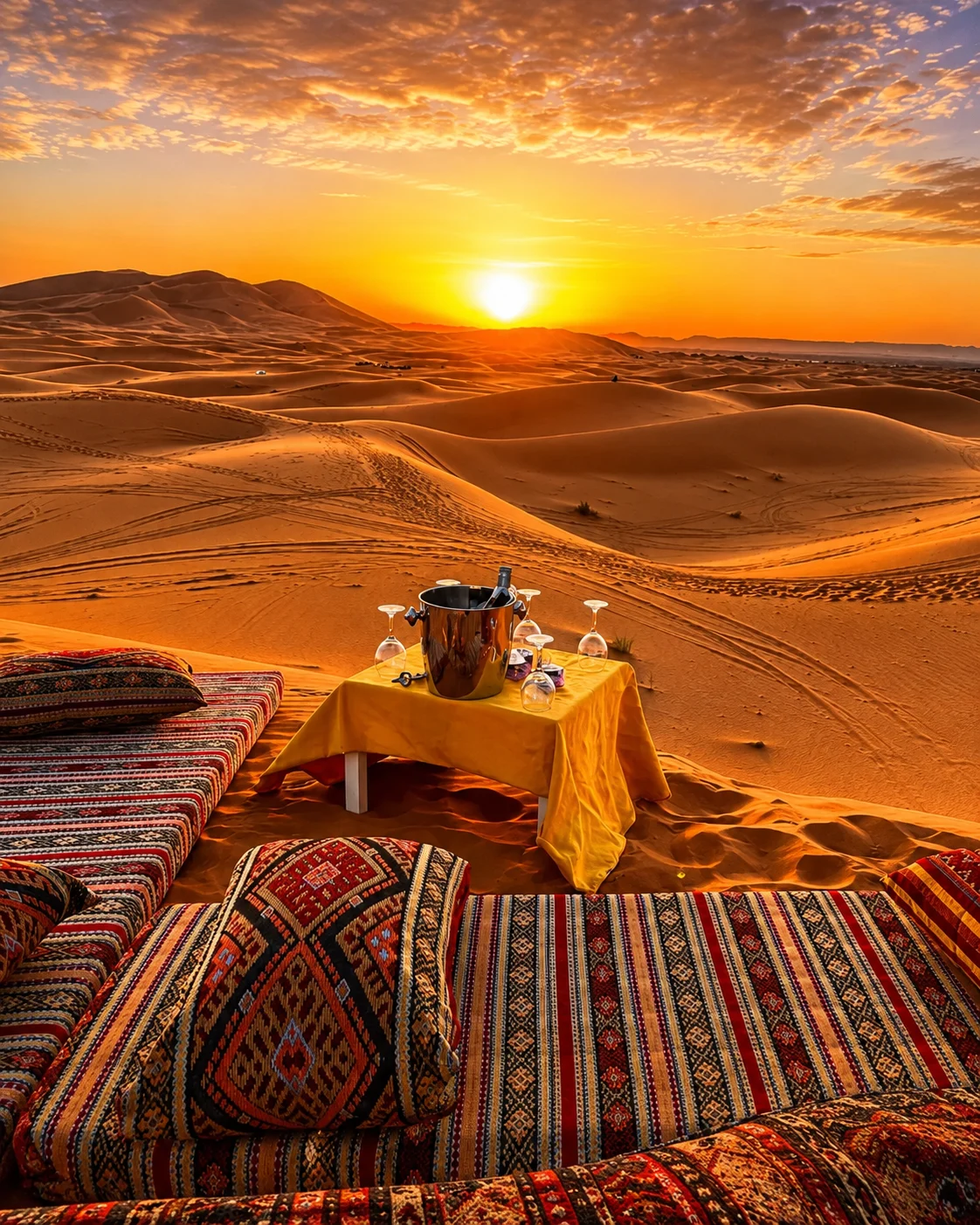
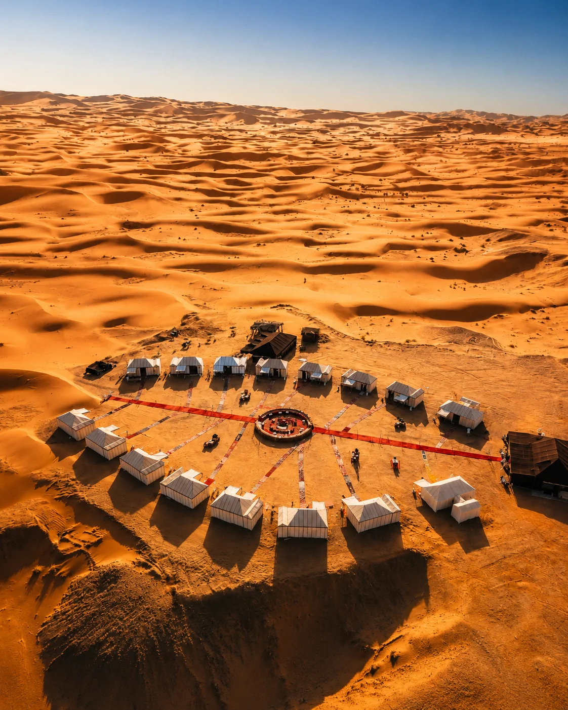
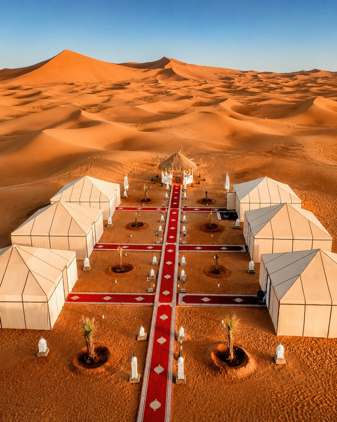 Erg Chebbi
 Dune camps
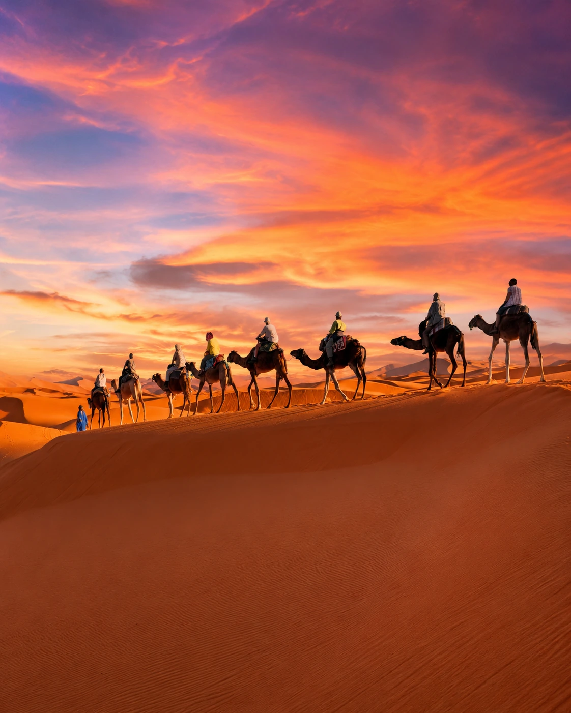
 Camel trekking
 Khamlia
 Dayet Srij
 Desert sunrise
A Sahara travel base known for Erg Chebbi dunes, camps and desert landscapes.
Merzouga gives the route its most familiar dune profile through Erg Chebbi, desert camps and camel routes.
Nearby Khamlia and seasonal Dayet Srij add local cultural and natural context to the dune landscape.
Erg Chebbi provides a recognisable dune landscape, but the surrounding settlements and plains are equally part of the setting. Choose an activity whose pace and conditions suit your group, with time to understand the transfer and return. A performance or visit in nearby Khamlia should be approached through the hosts' invitation and explanation. Dayet Srij is seasonal; its water and birdlife cannot be promised from a photograph or an old itinerary. Current local knowledge matters.
A Tafilalet gateway tied to date palms, fossils and desert-road movement.
Erfoud connects oasis agriculture, fossil workshops and the road network toward Ziz Valley, Rissani and Merzouga.
It keeps the route useful for travelers moving between Tafilalet, dunes and palm landscapes.
The town connects the palm landscape with roads, workshops and exchange. A fossil display can open a useful conversation about geology and workmanship, but appearance alone does not establish where a specimen came from or what it is. Ask for specific information and distinguish a natural fossil from a worked decorative object. Date products provide another route into the local economy. Follow those questions into the wider Tafilalet landscape rather than treating Erfoud only as a transfer stop.
 Date region
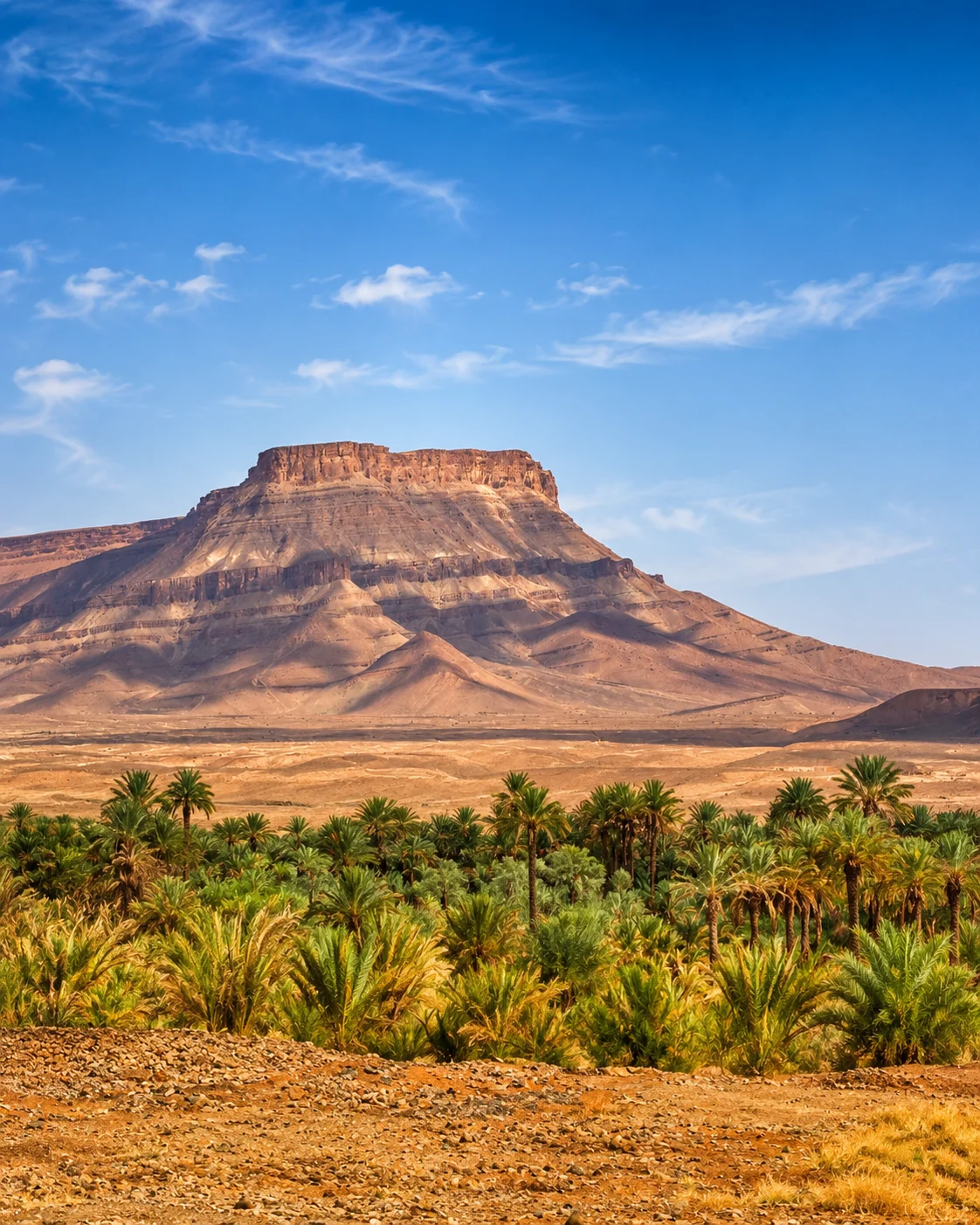
 Date palms
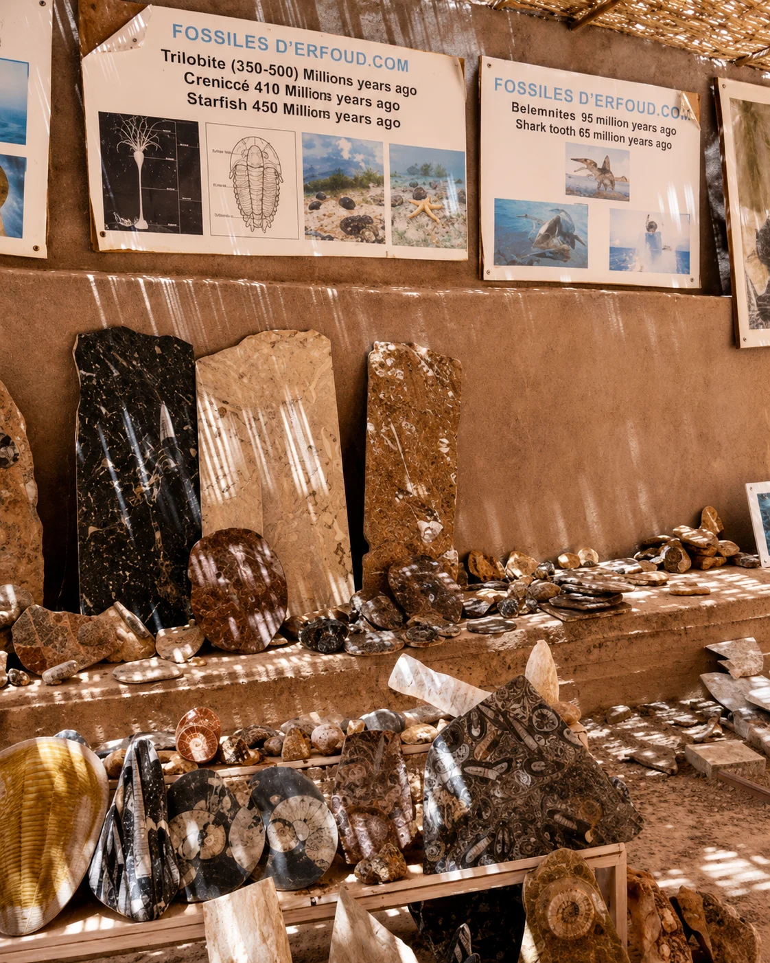 Fossil workshops
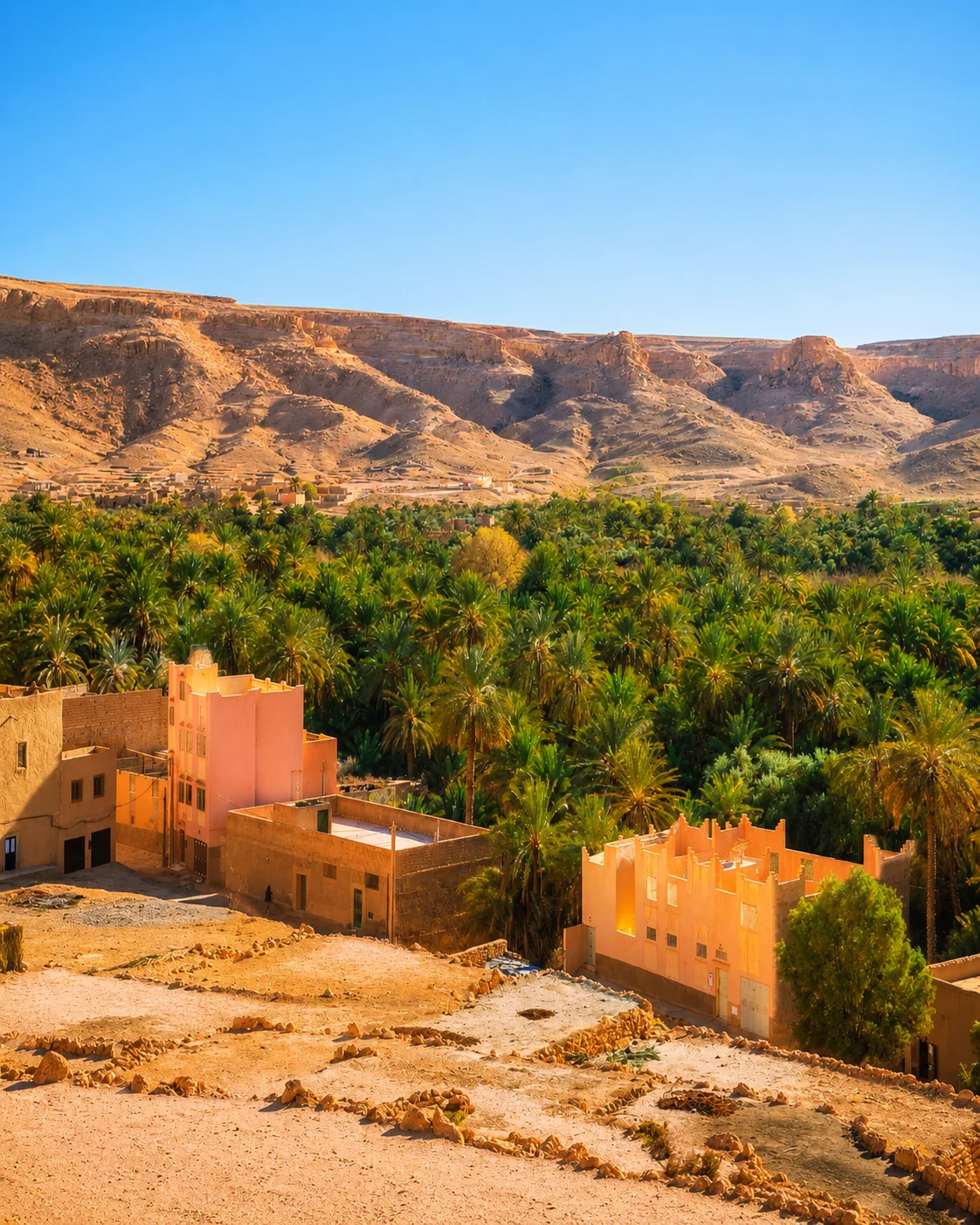 Tafilalet gateway
 Date festival
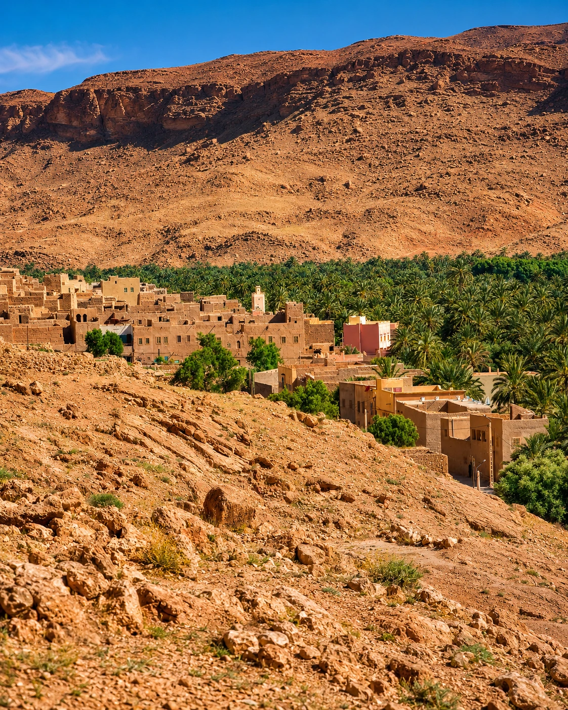 Desert road
 Ziz Valley
 Historic market
 Rissani souk
 Tafilalet
 Moulay Ali Cherif Mausoleum
 Ksour
Ksour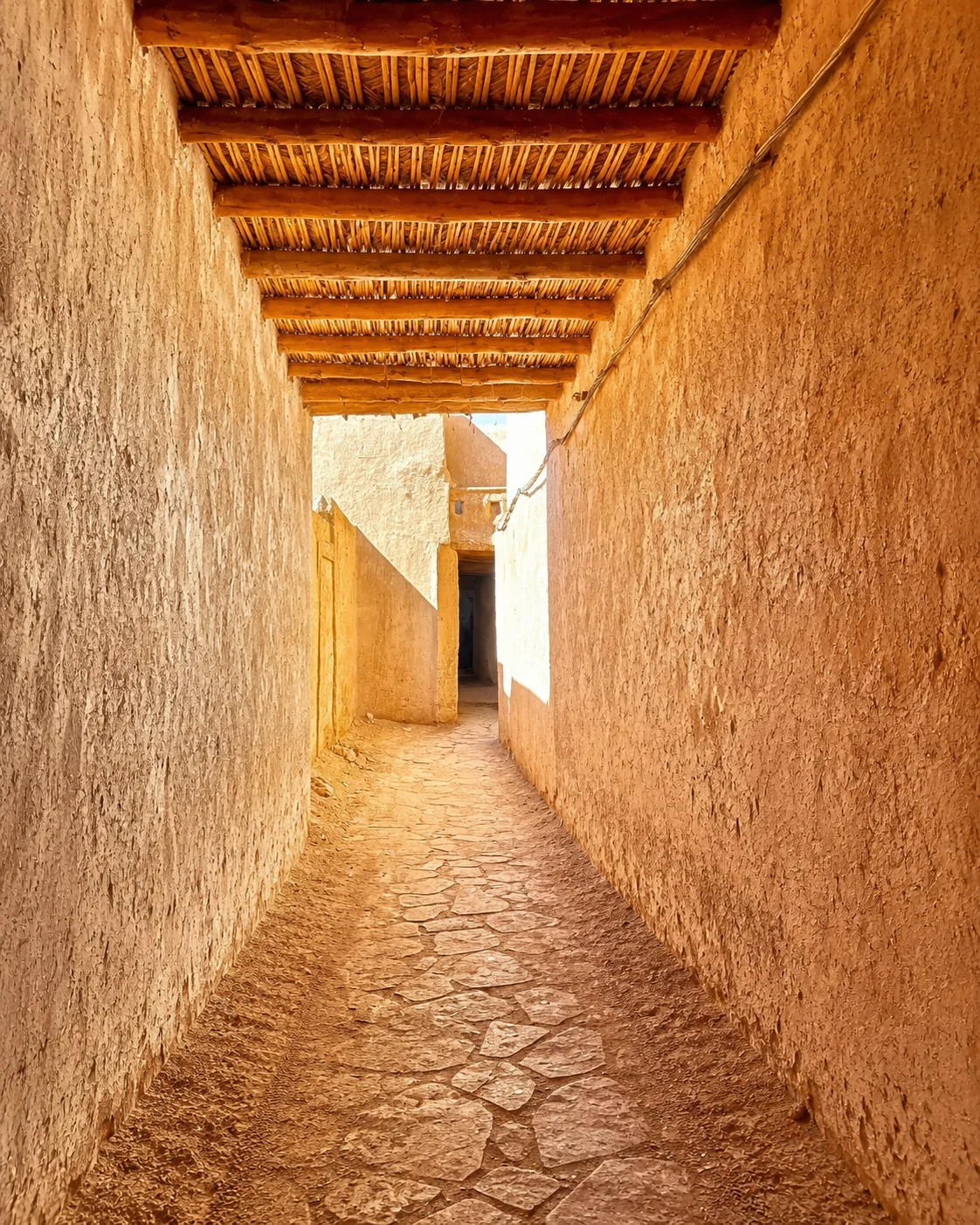 Sijilmasa memory
 Oasis routes
A historic Tafilalet town connected to markets, ksour, oasis routes and dynastic memory.
Rissani brings souk life, Tafilalet oasis context and the memory of Sijilmasa into the southern route.
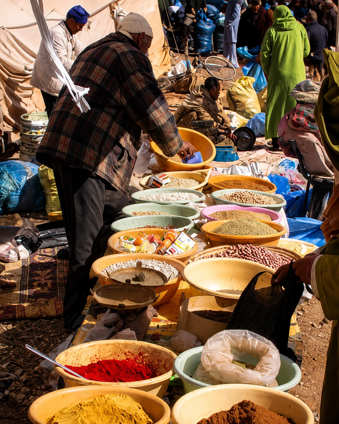
A market visit is most informative when you understand its present routine. Ask about the appropriate day and time, then give people room to buy, sell and move goods. The wider oasis setting includes ksour, cultivated land and the historical account of Sijilmasa; these are connected subjects, not one surviving monument. Use a documented explanation or knowledgeable local guide to distinguish visible remains, later settlement and historical interpretation. A slower visit can make those differences clearer.
Small details carry the route: walls, silver craft, kasbahs, palm valleys, rose fields, dunes, ksour, fossils and Saharan gathering places.
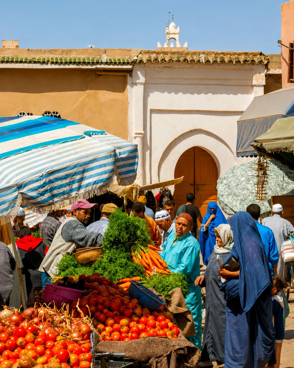 Taroudant ramparts
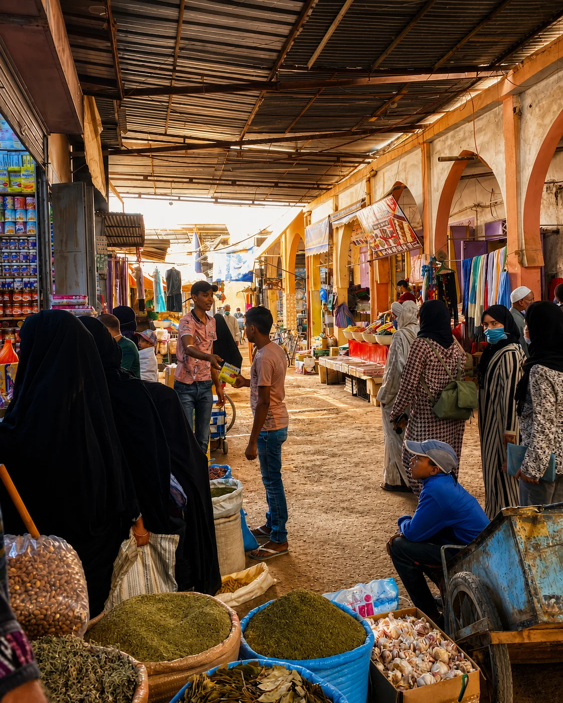
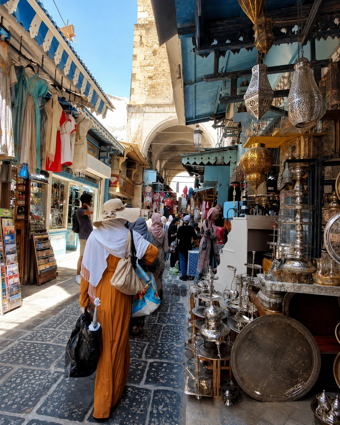
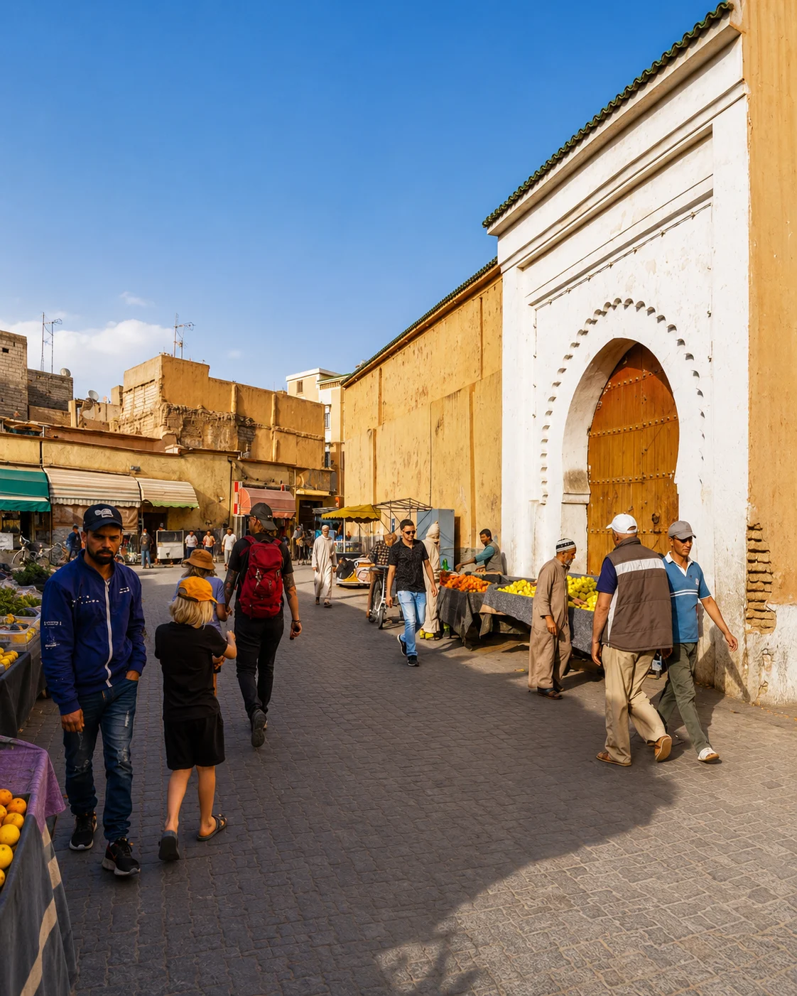 Souss market rhythm
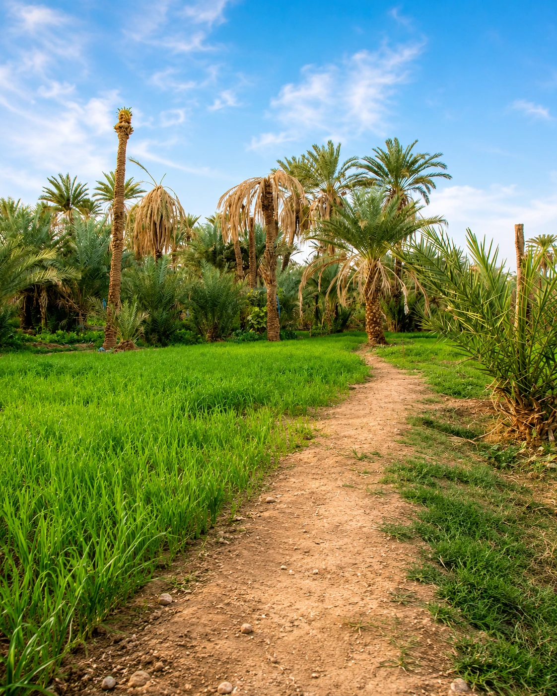 Tiout oasis palms
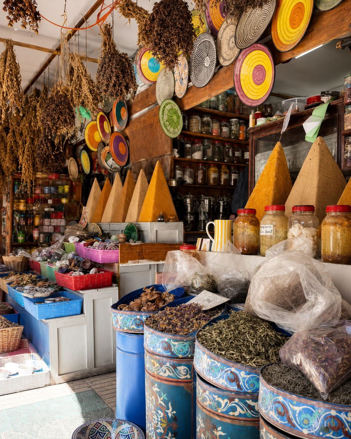 Tiznit silver craft
 Aglou coast
 Anti-Atlas road
 Taourirt Kasbah
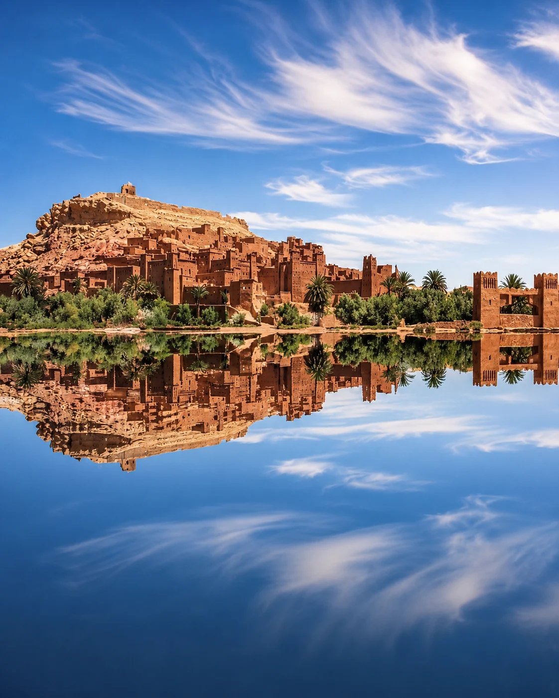 Aït Ben Haddou
 Ouarzazate film studios
 Fint Oasis
 Skoura palm groves
 Rose Valley
 Dadès Valley
 M’Goun foothills
 Todra Gorge
 Tinghir palms
 Drâa Valley
 Tamgroute
 Tinfou dunes
 Erg Chigaga
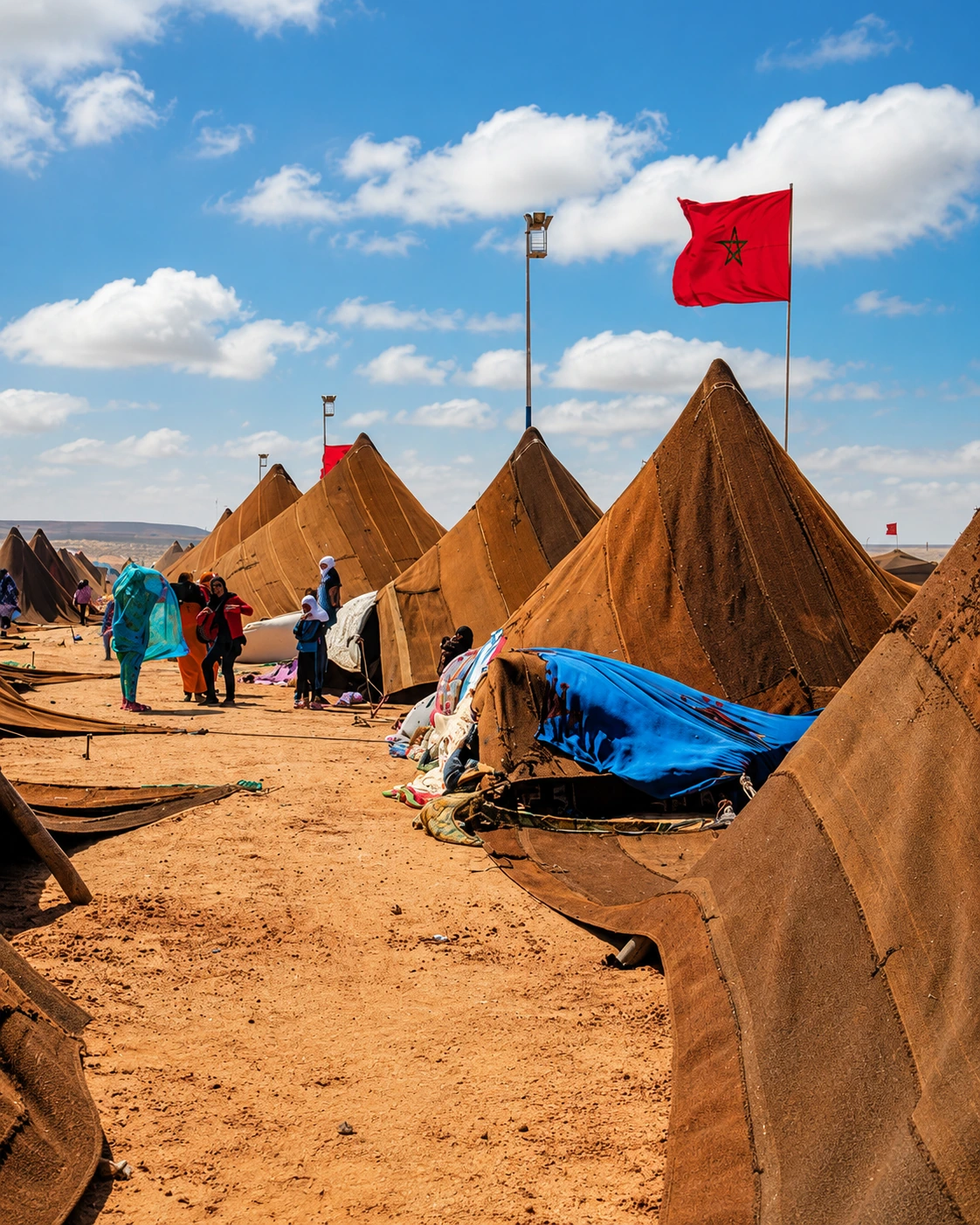 M’Hamid desert route
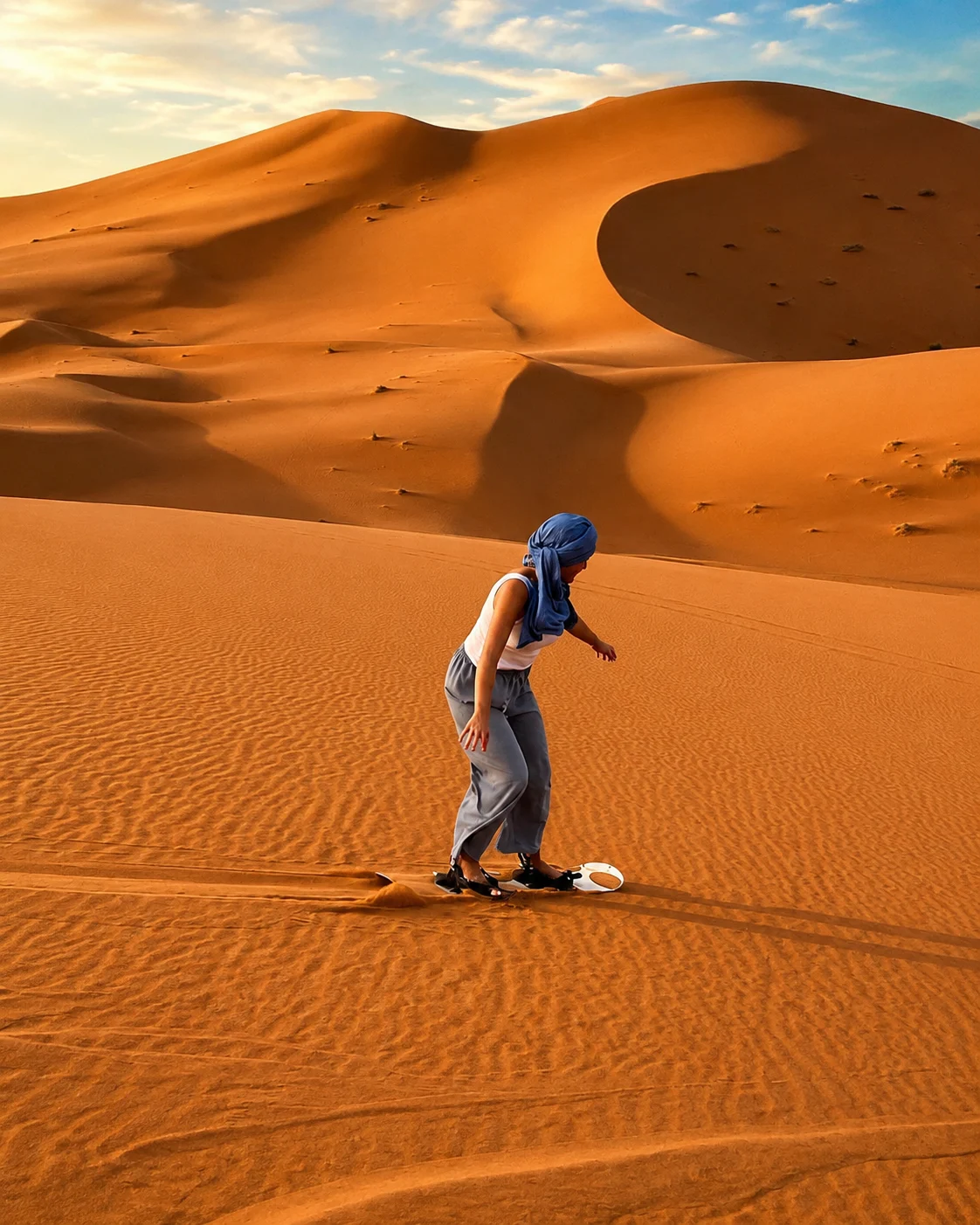 Erg Chebbi
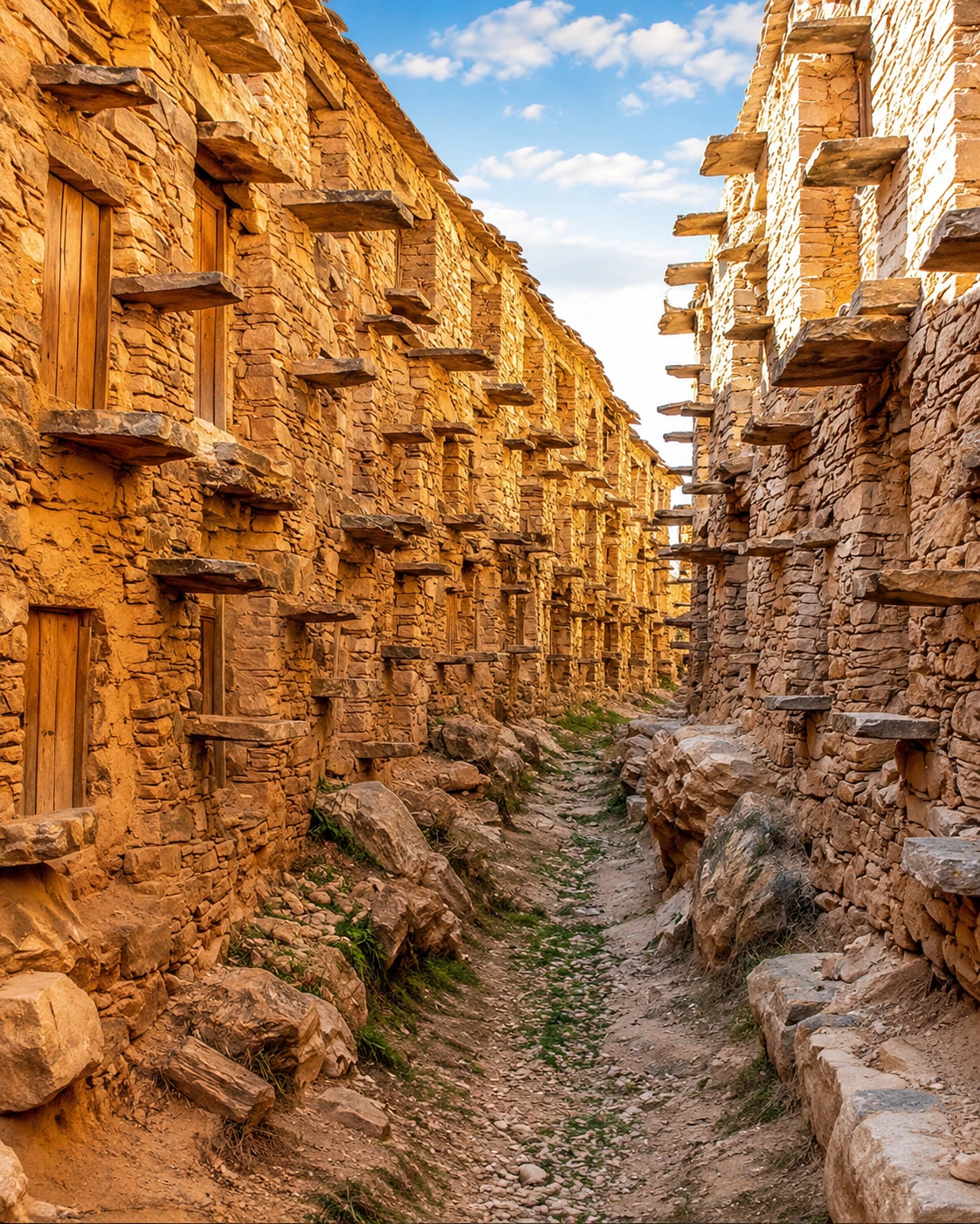 Khamlia village
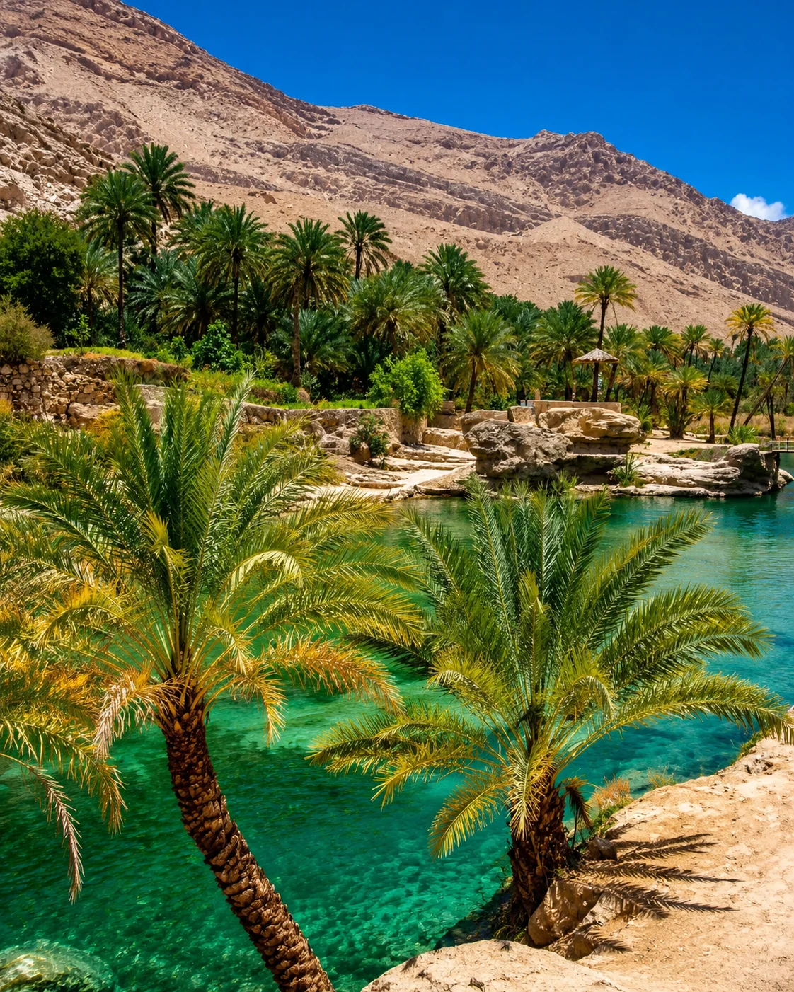 Dayet Srij
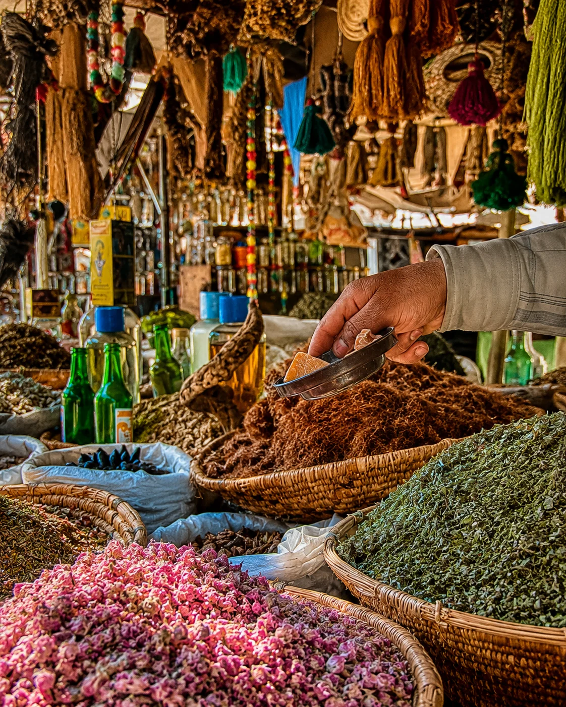 Erfoud date palms
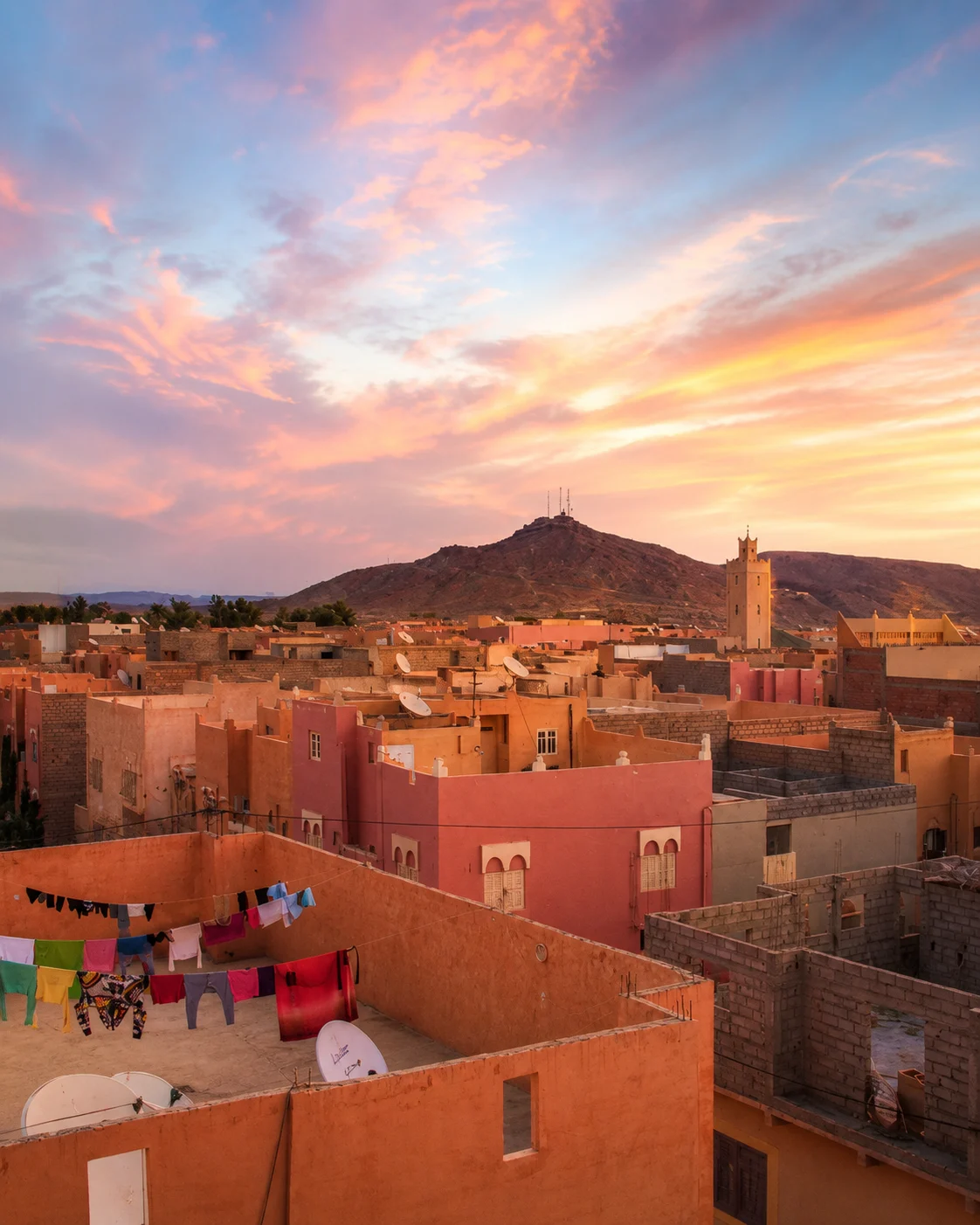 Ziz Valley
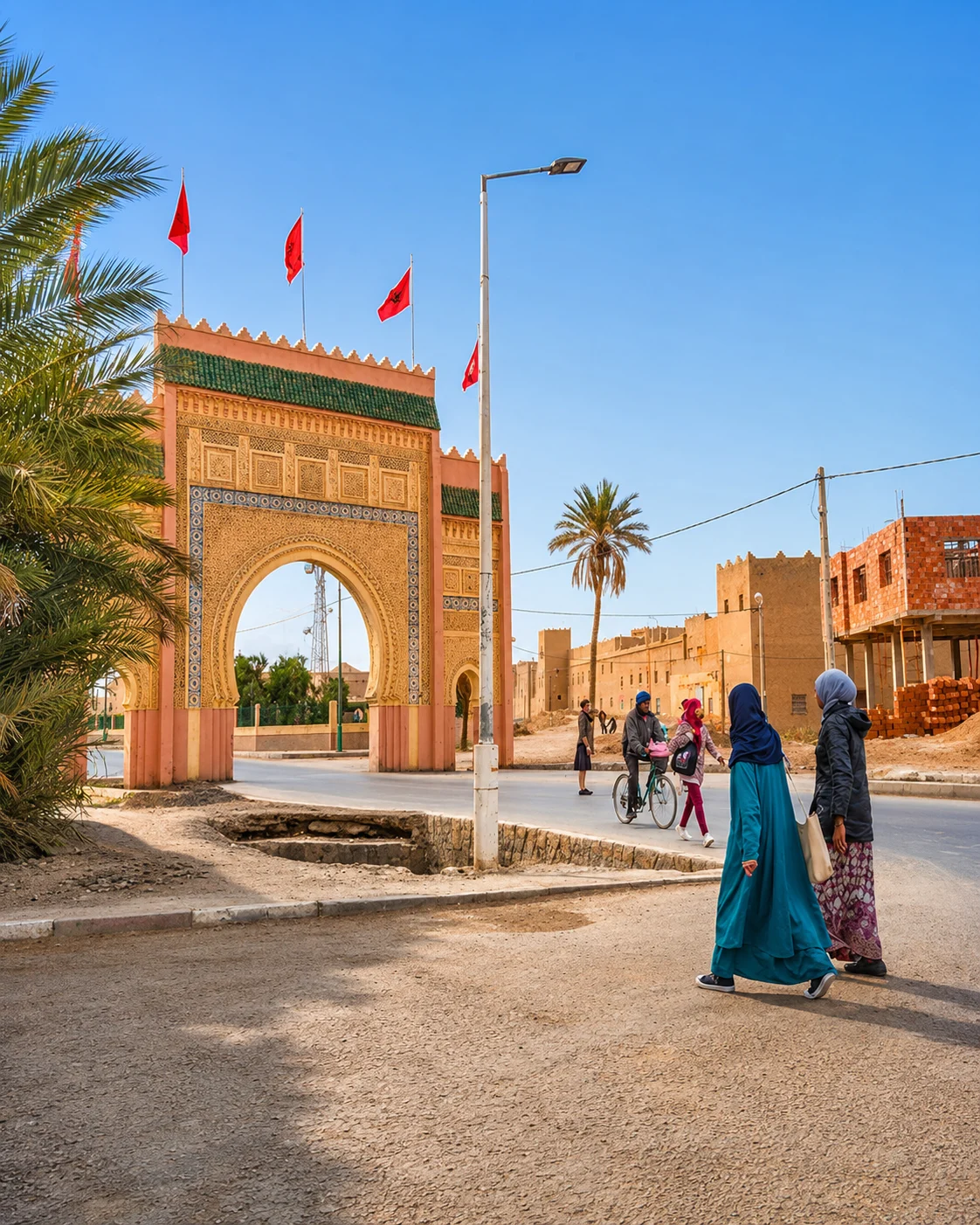 Rissani souk
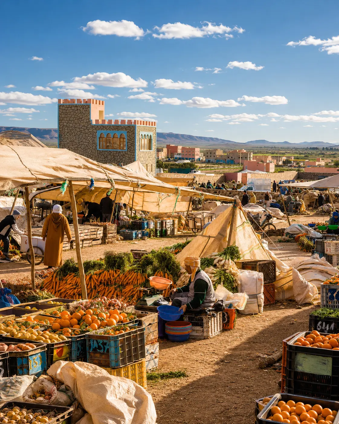 Guelmim market
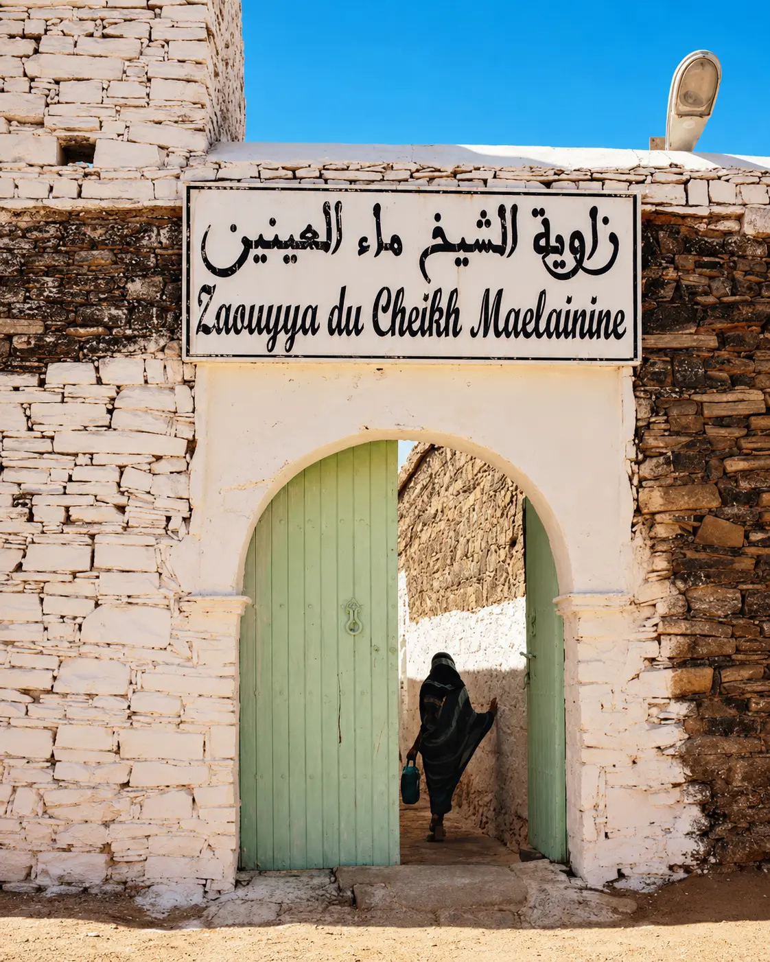 Smara heritage gate
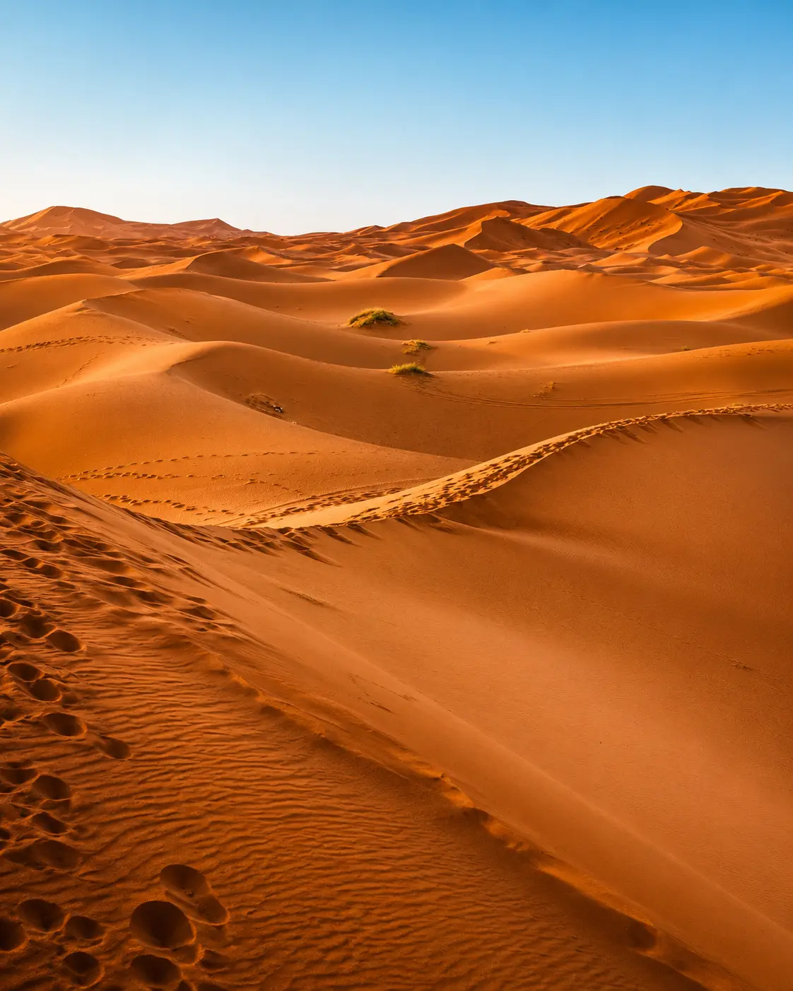 Sahara dune ridges
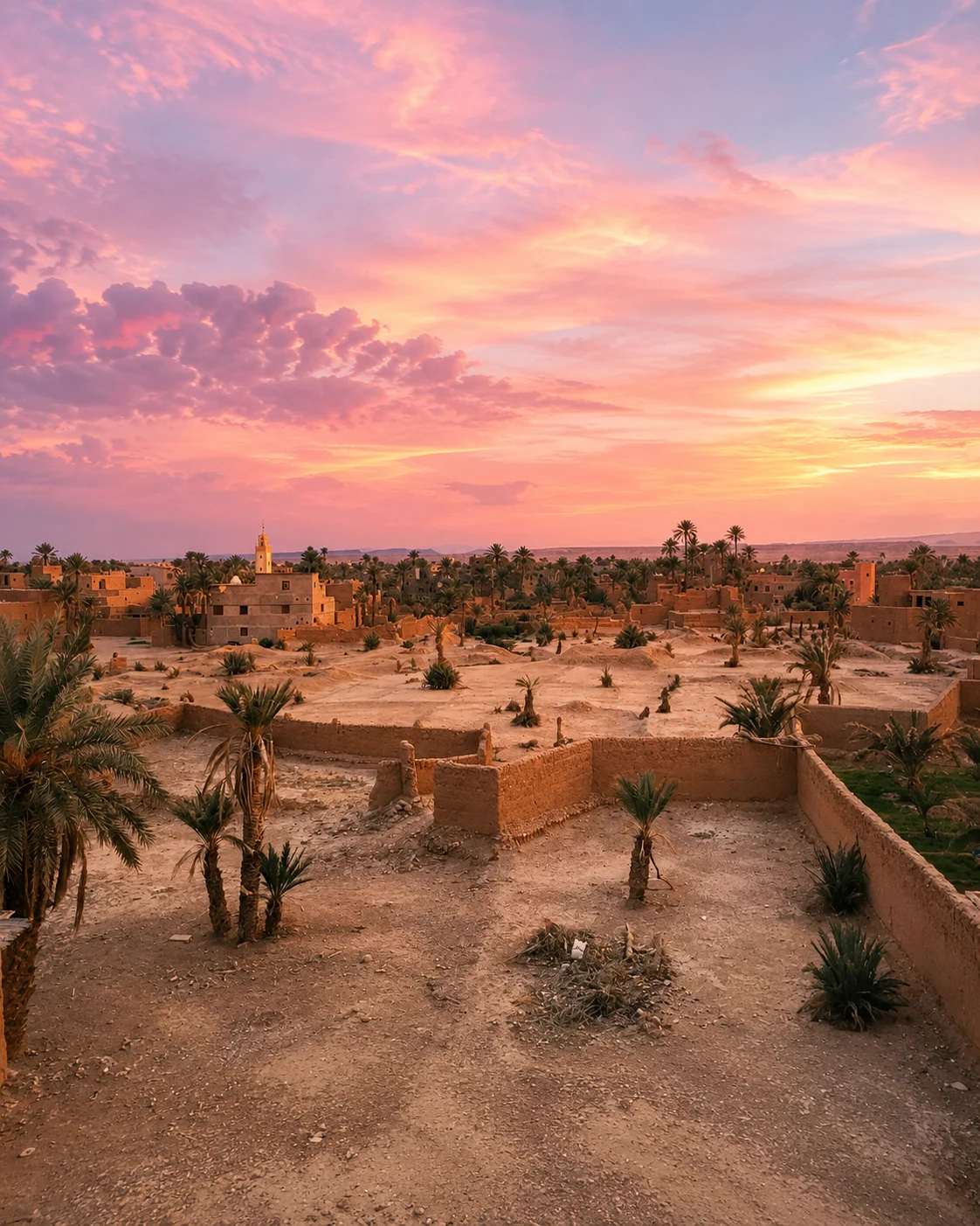
Earthen kasbahs, walled markets, palm oases, silver craft, rose valleys and dune light give this region its visual rhythm.
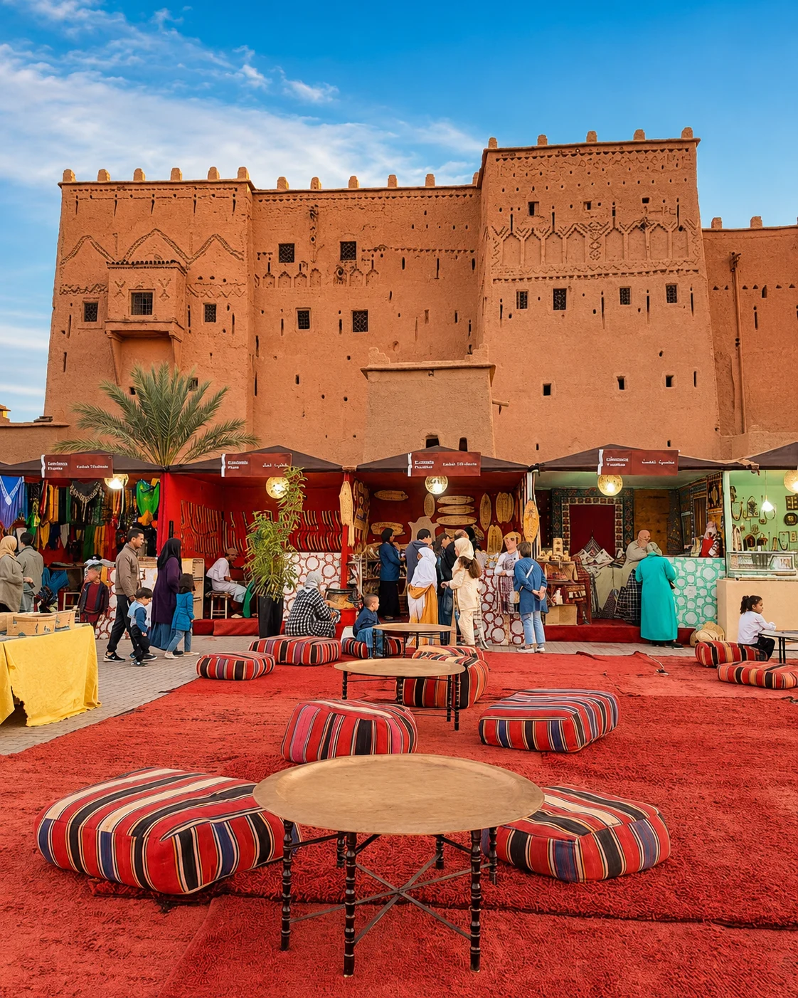
Ouarzazate, Skoura, Dadès and Todra show the southern language of earth-built forms.
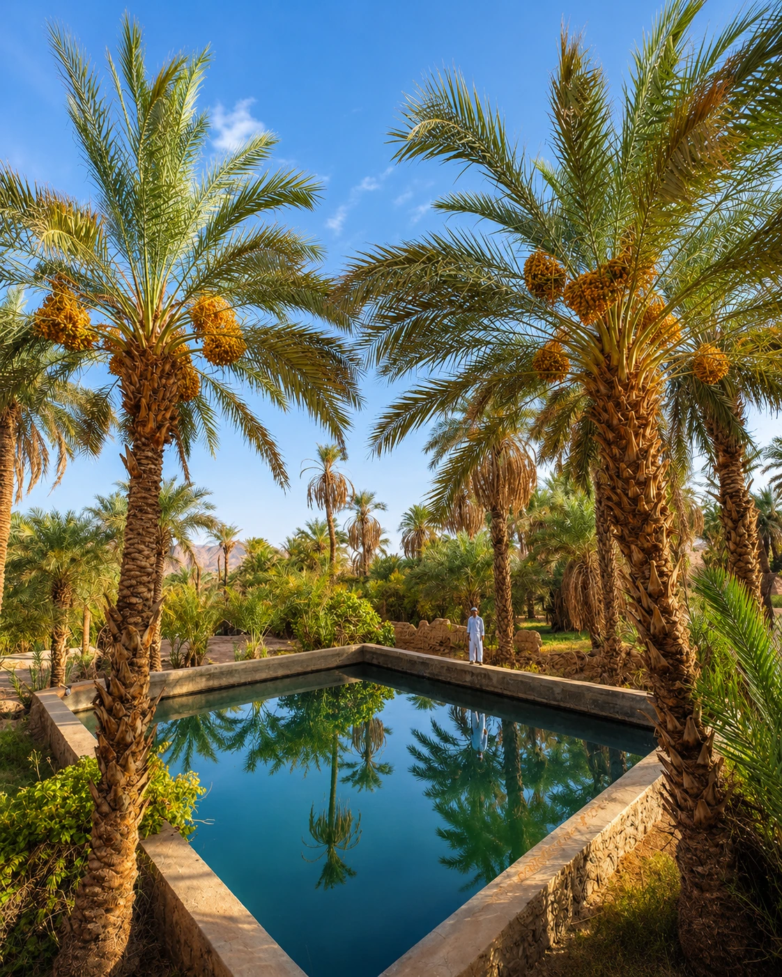
Drâa, Ziz, Todra and Tafilalet frame travel through irrigated valleys and date palms.
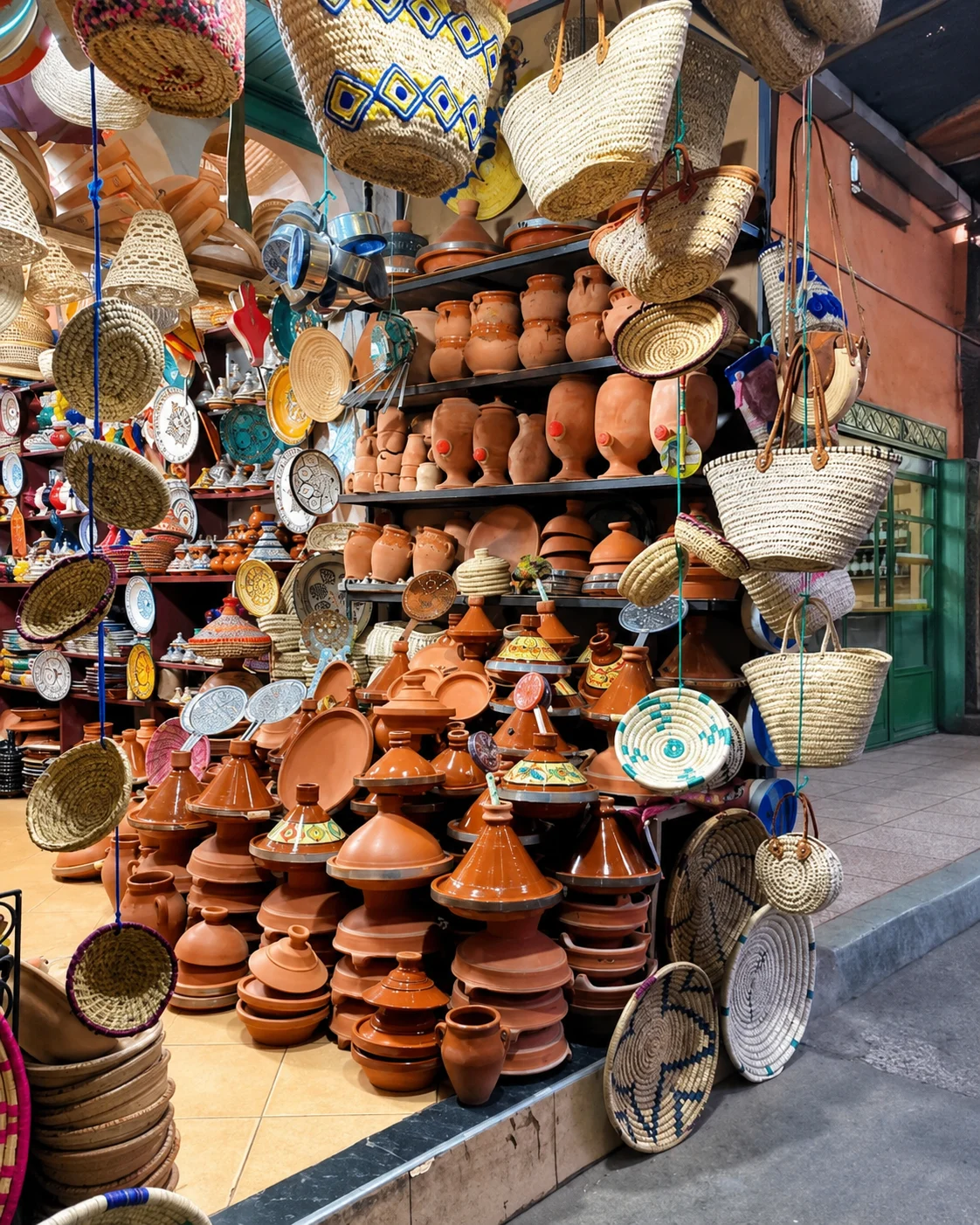
Taroudant, Tiznit, Erfoud and Rissani carry souks, silver, fossils, dates and trade rhythm.
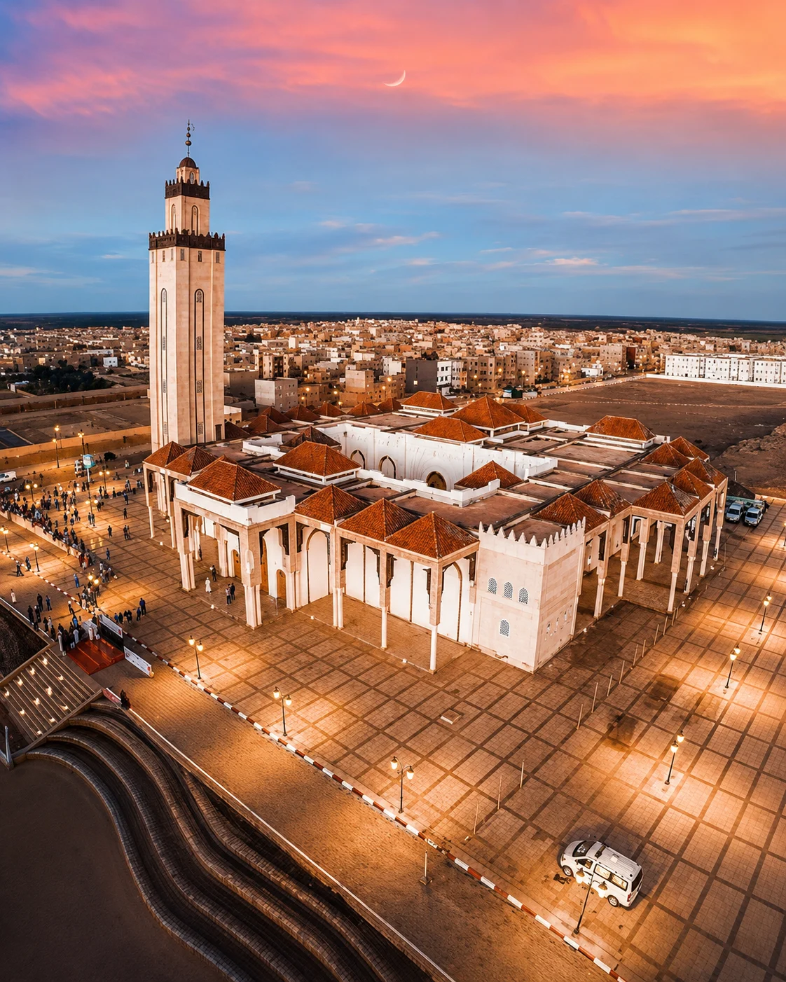
A practical editorial route from Souss walls and Anti-Atlas gateways into kasbah valleys, Drâa palms, dunes and Tafilalet market towns.
Choose a Souss and Anti-Atlas segment, a Drâa Valley journey or a Tafilalet and Erg Chebbi stay. Connect them only when the available travel time supports the longer distances.
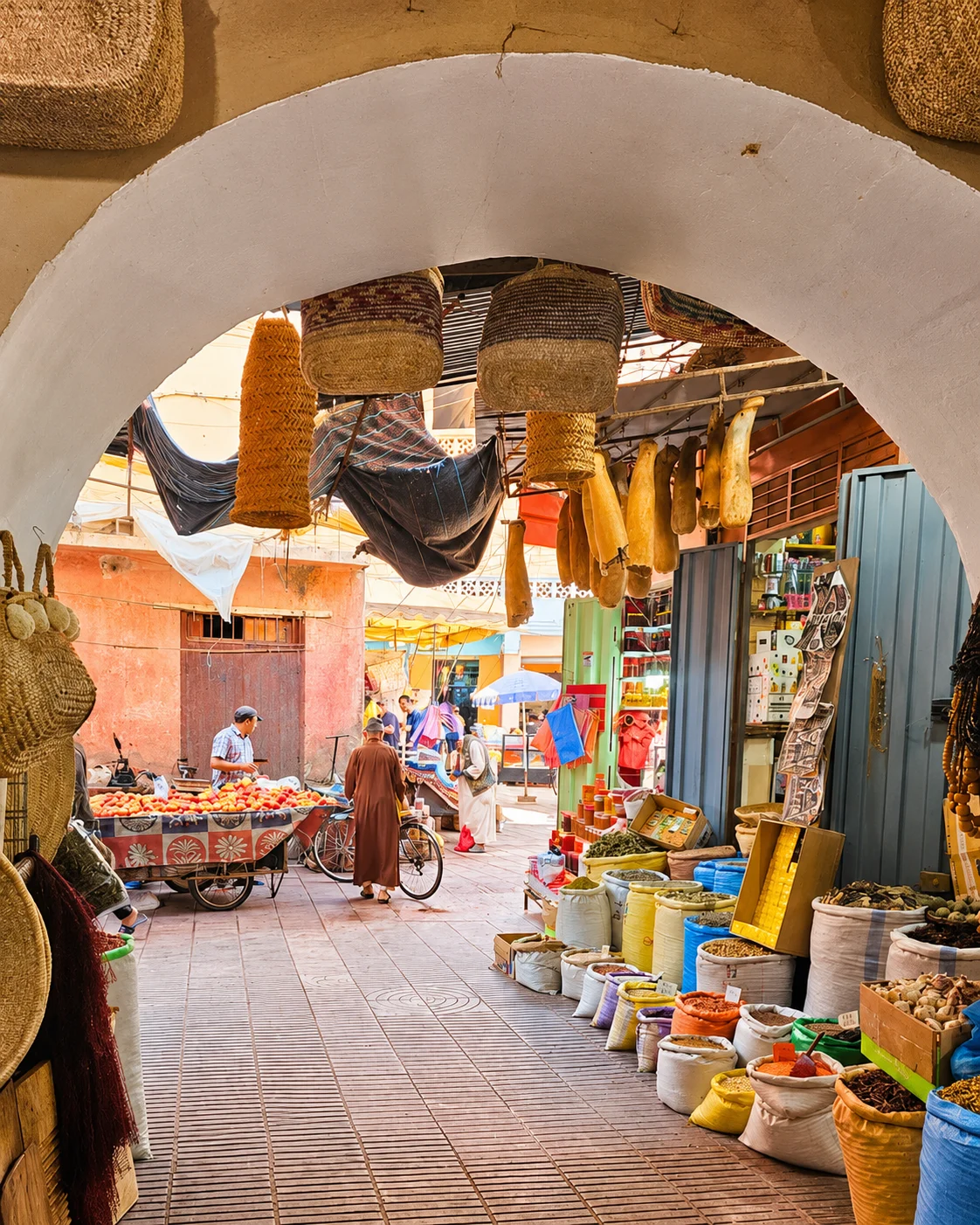 TaroudantWalled Souss gateway
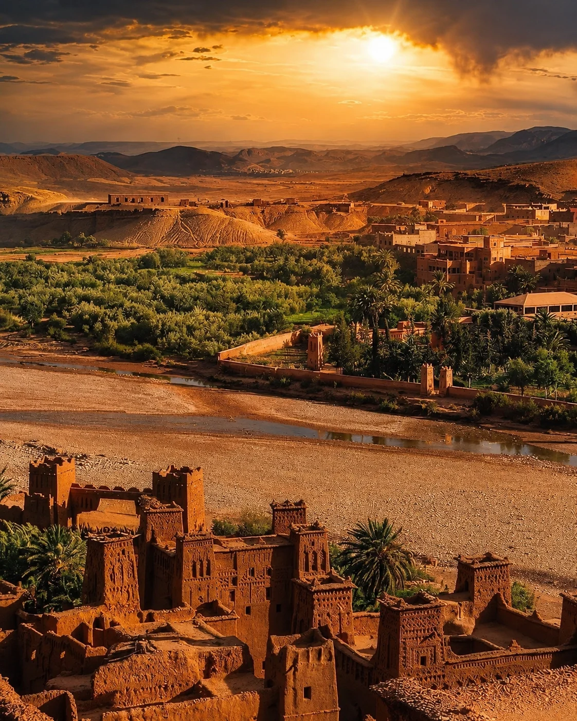 OuarzazateKasbah and film gateway
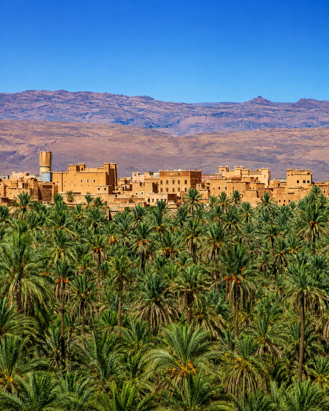 ZagoraDrâa oasis route
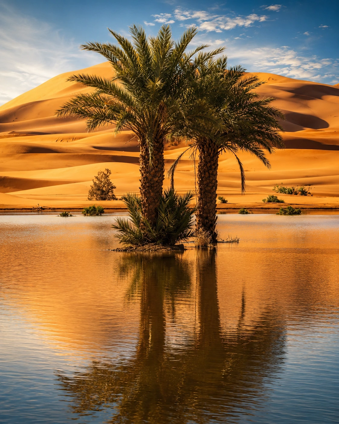 MerzougaErg Chebbi dunes
A few considered choices make the connections between these places more useful.
The Drâa corridor and the Tafilalet–Erg Chebbi area are different route systems. The Souss and Anti-Atlas add another western geography. Begin with one of these clusters and decide which transition is worth the travel time. A long line joining every southern card is not a suggested day trip. Give an oasis town, a cultivated landscape and an architectural site time to explain one another.
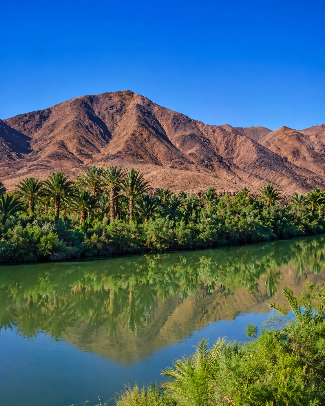
Shade, season and access to water matter in both the visit and the landscape you are reading. Check conditions close to departure, arrange longer excursions with suitable local support and keep the day flexible. A lush palm photograph should prompt a question about irrigation and labour, not the assumption of unlimited water. Conserving water where you stay is part of appreciating the oasis as a working environment.
The site's Southern Morocco, Oases & Sahara collection is an editorial travel grouping. Its links also include places in Western Sahara, including Laâyoune, Boujdour and Smara. The territory's status is disputed and the United Nations lists it as Non-Self-Governing. Keep that distinction when using regional names. Dune geography, Saharan cultural connections and political boundaries are different subjects; one attractive landscape term should not stand in for all three.
Historical and geographical references reviewed in September 2026. Route pairings and looking suggestions are Exotic Morocco editorial guidance. Check current access and transport arrangements before travelling. Existing regional library imagery is retained; photographs and illustrations do not establish present-day access or conditions.
Continue into the individual place guides for local context, landmarks and practical orientation.
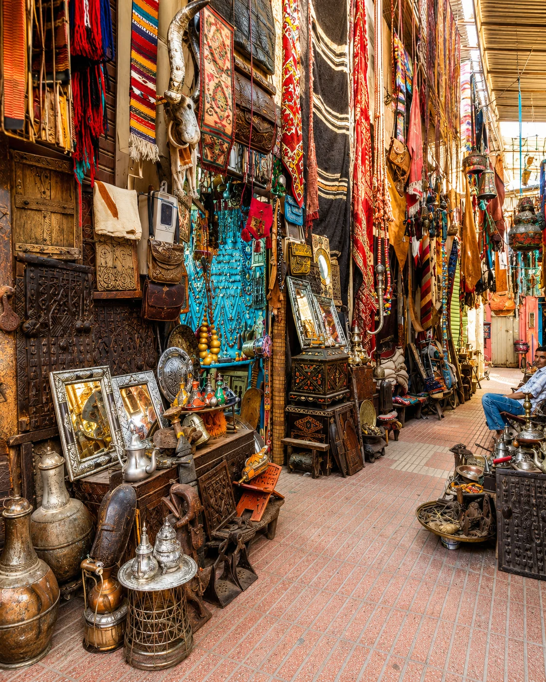
Walled Souss city, markets and ramparts.

Silver craft, walls and Anti-Atlas route.
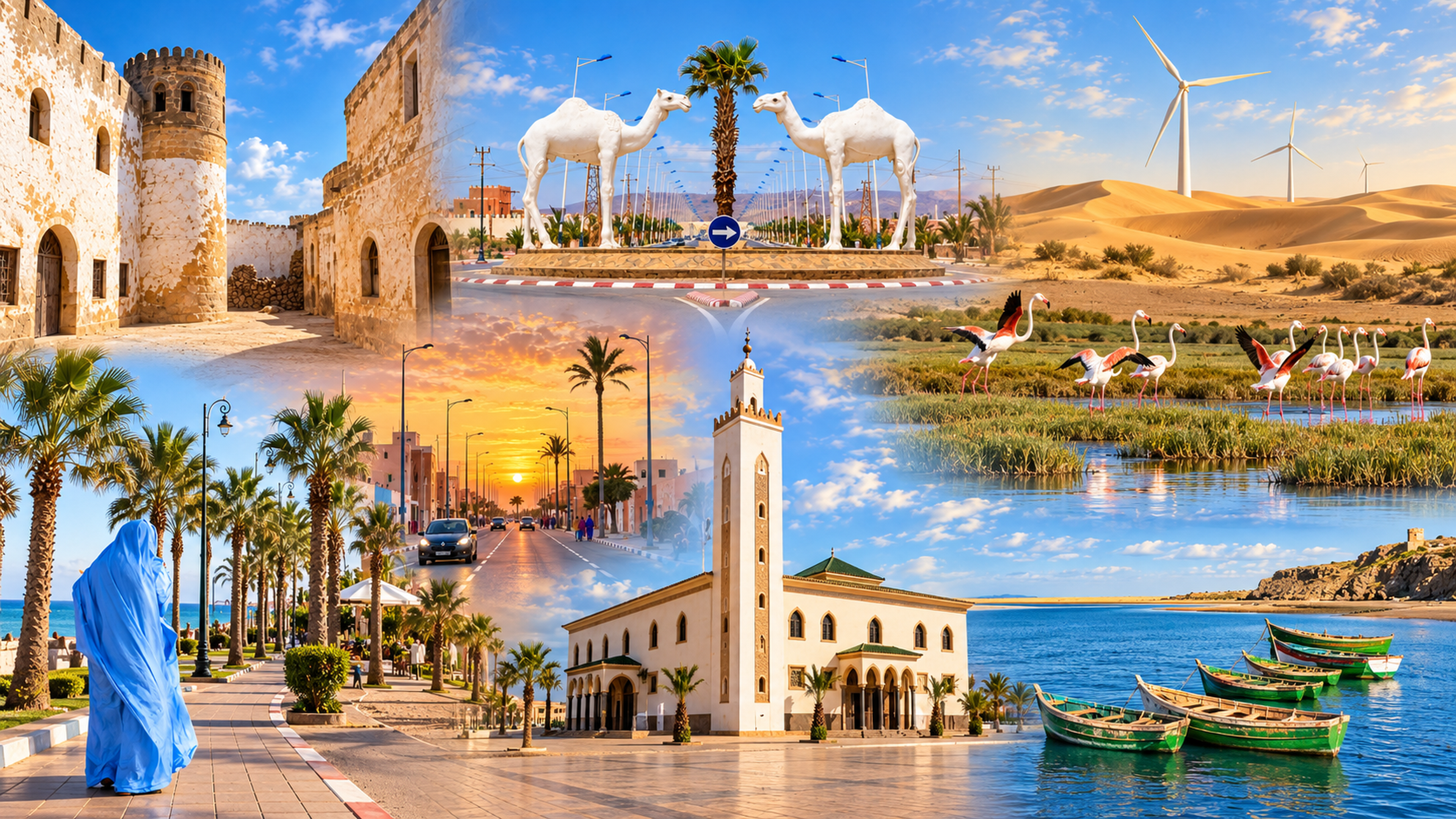
Tarfaya sits on Morocco's southern Atlantic edge, where Cape Juby, early airmail history, the weathered Casa del Mar and the open desert horizon give the town a rare sense of distance, memory and movement.
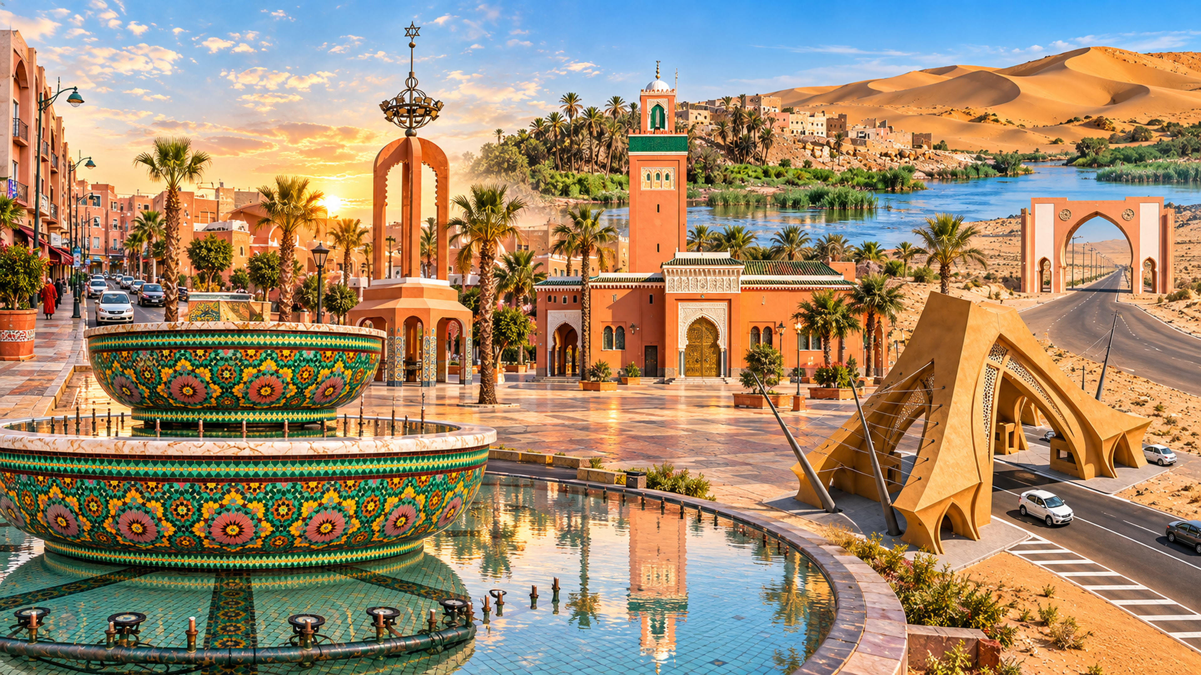
Laâyoune is not an old-medina postcard. It is a modern Saharan city of broad avenues, palm-lined civic spaces, desert light, regional administration and routes that connect the Saguia el-Hamra landscape with the Atlantic edge.
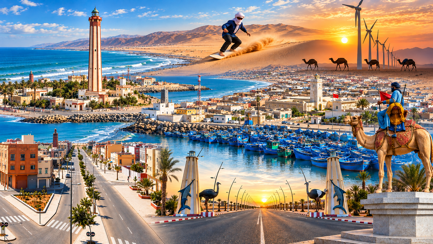
Boujdour stands where the desert reaches the Atlantic: a practical southern city shaped by Cape Bojador, a working fishing port, lighthouse memory, open sea air and the long road between Laâyoune and Dakhla.
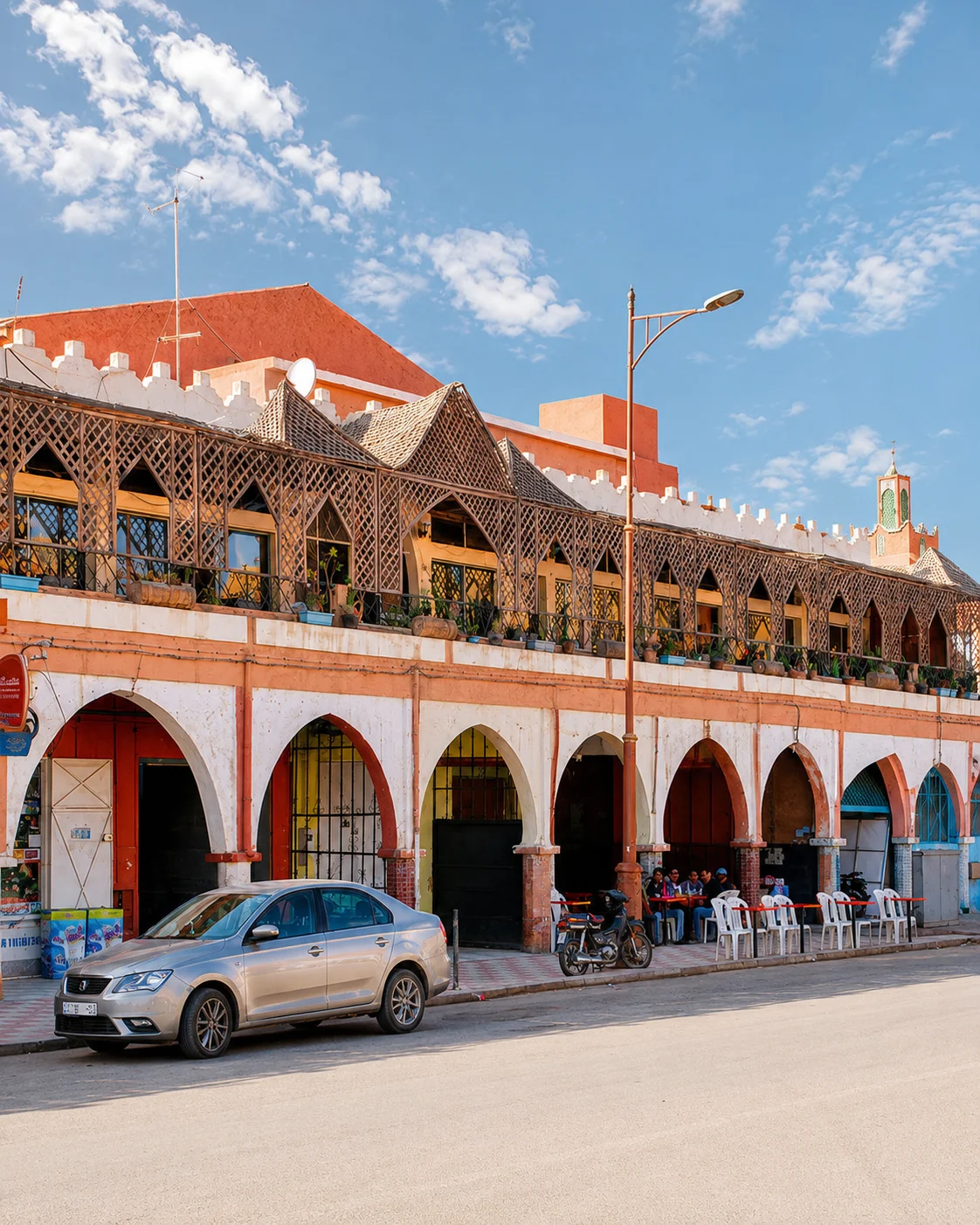
Southern gateway between Anti-Atlas, Sahara routes and Oued Noun.
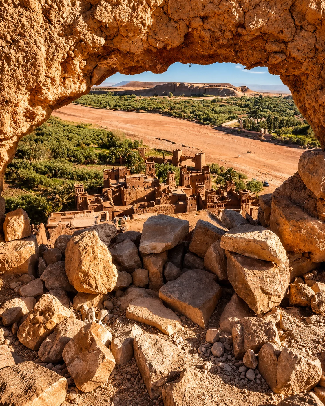
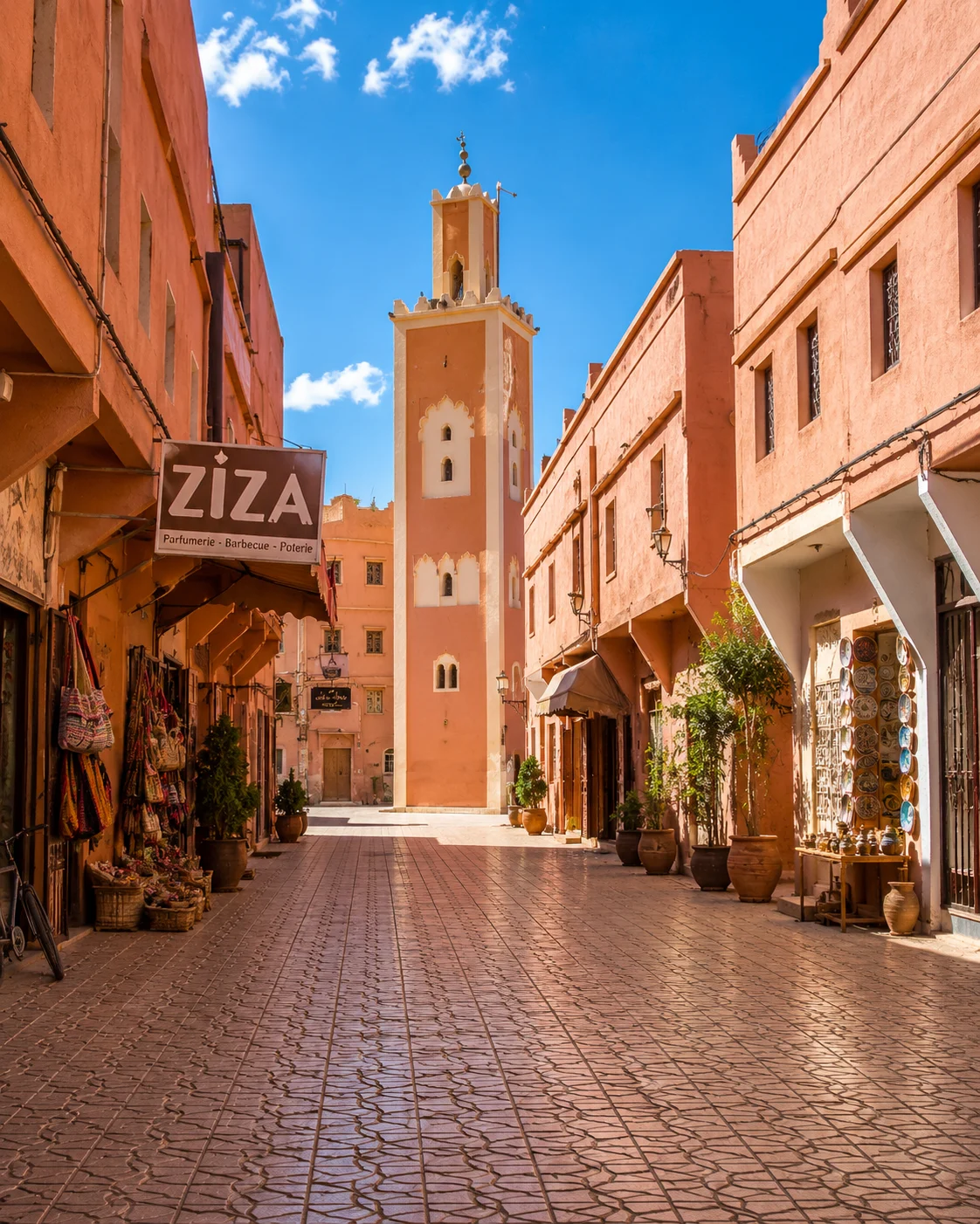
Kasbah routes, film landscapes and desert gateway.
Rose Valley identity and spring festival culture.
Todra palms, oasis views and gorge landscapes.
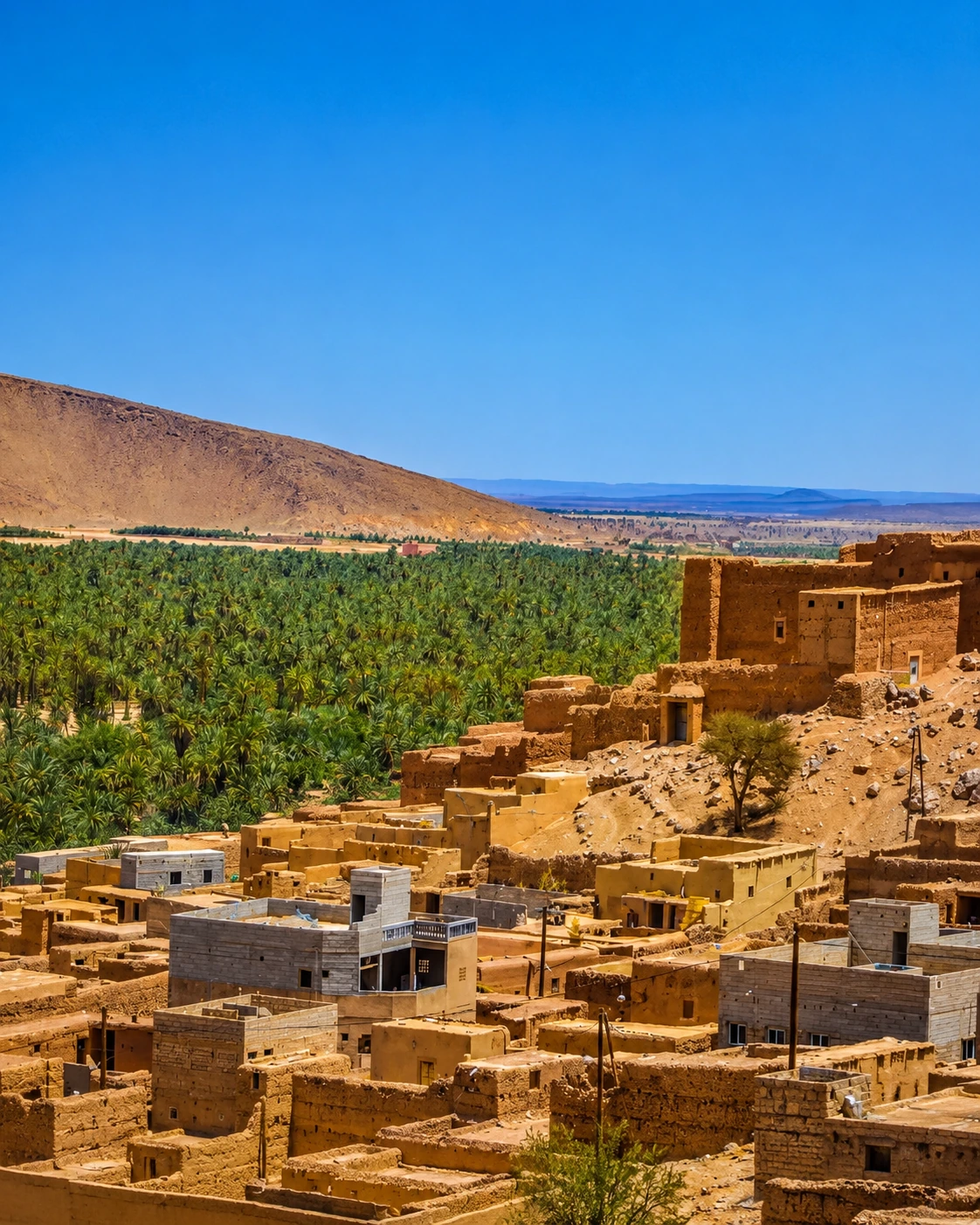
Palm oases, kasbahs and caravan memory.
Southern oasis gateway and Drâa route atmosphere.
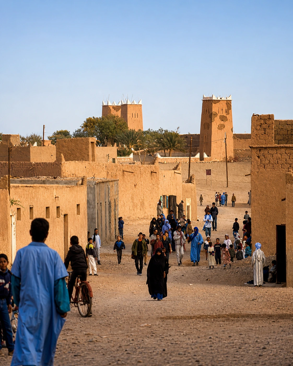
Desert-edge village and Erg Chigaga gateway.
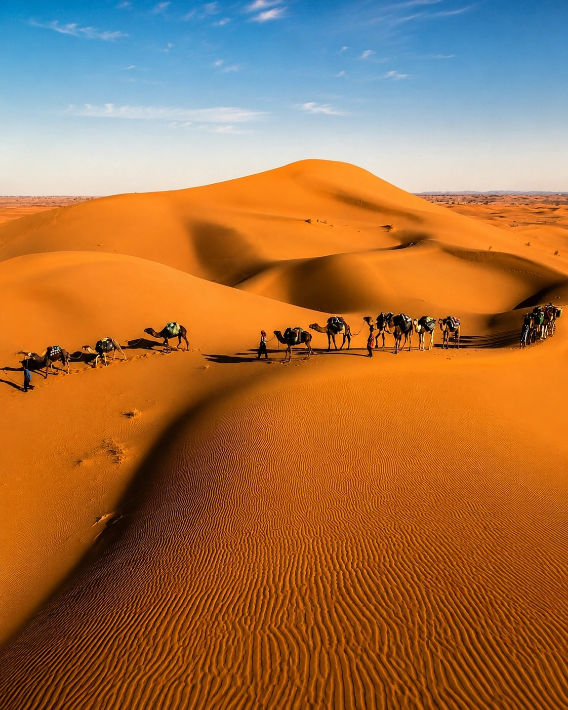
Erg Chebbi dunes and Saharan travel culture.
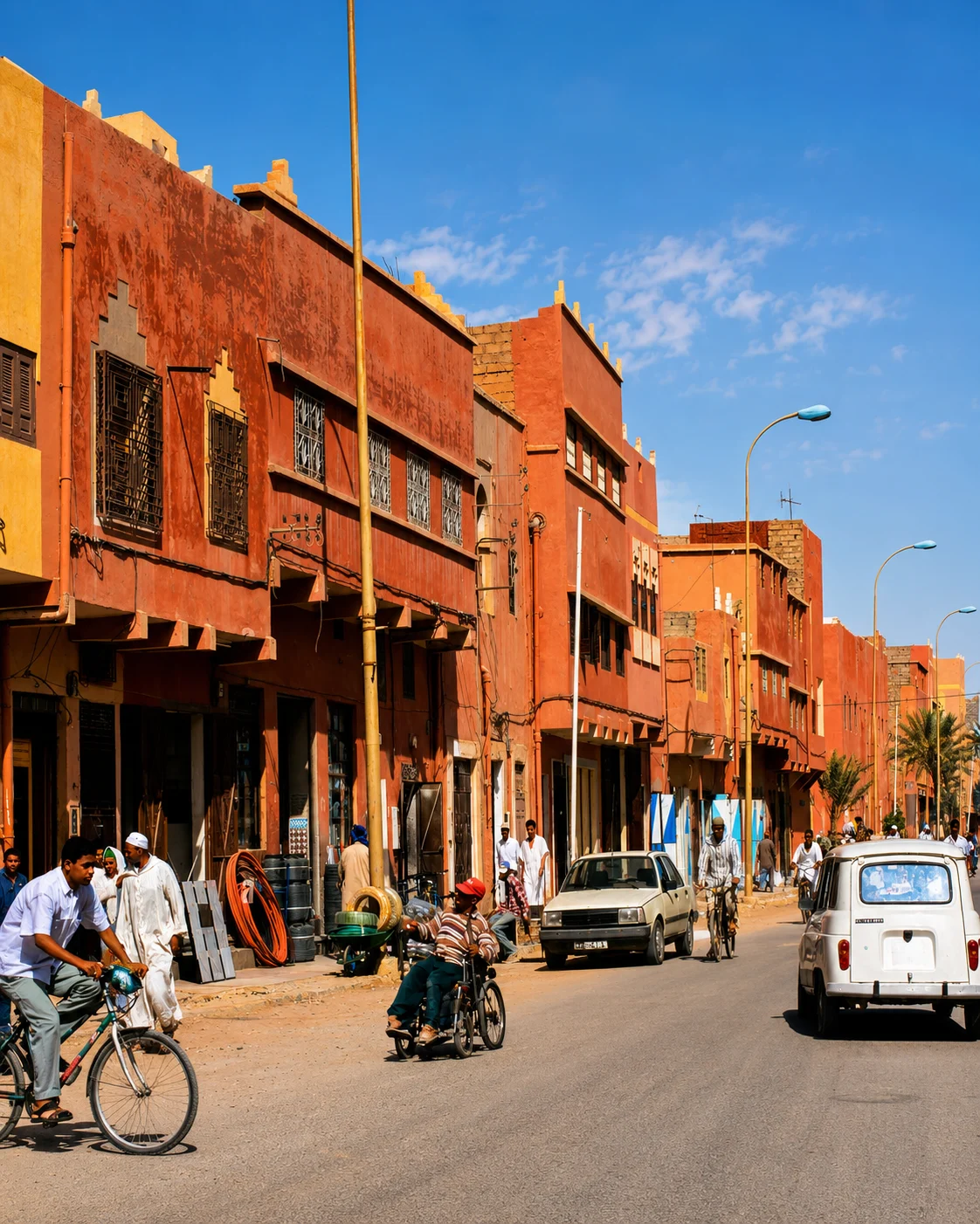
Date region, fossils and Tafilalet gateway.
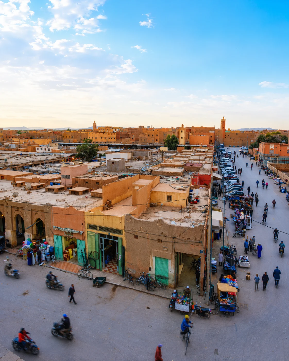
Historic Tafilalet market and oasis routes.
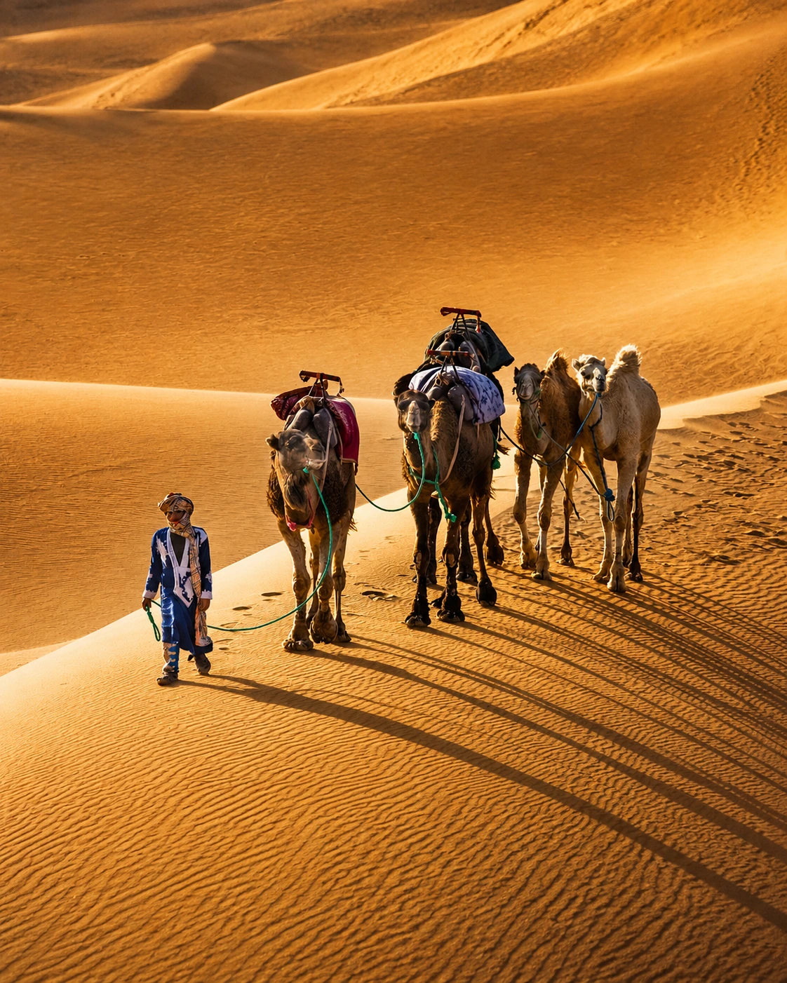
Dunes, desert routes and southern landscapes.
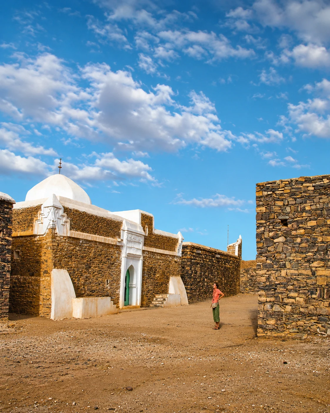
Saharan interior city and Hassani heritage layer.
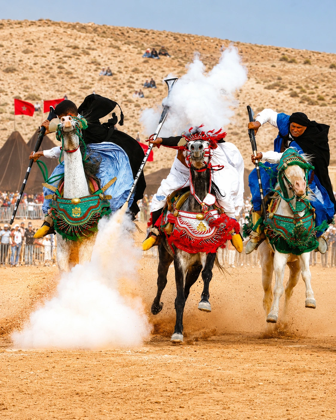
UNESCO-listed Moussem and Saharan cultural identity.