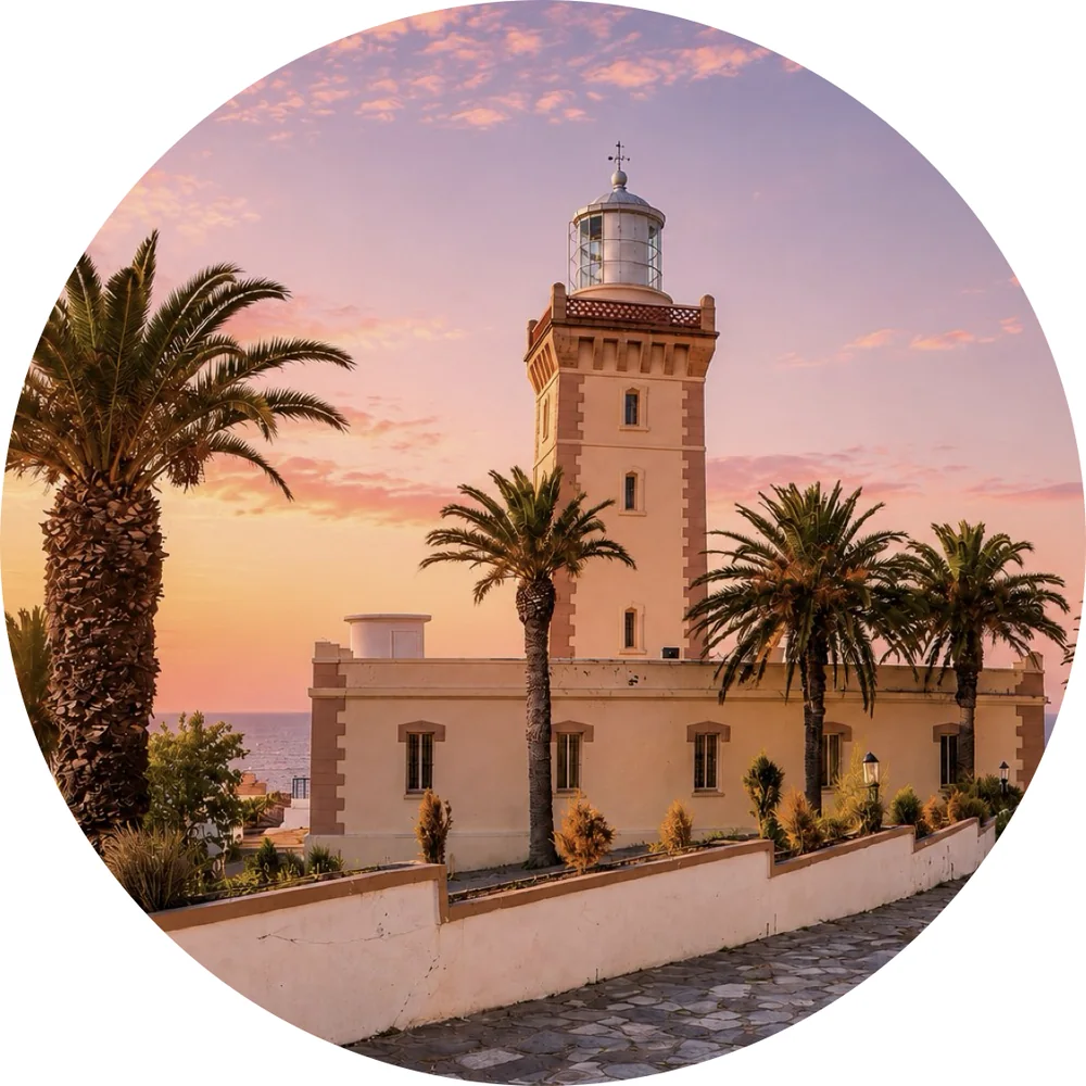
Tangier
Strait city, kasbah views and Atlantic-Mediterranean memory.

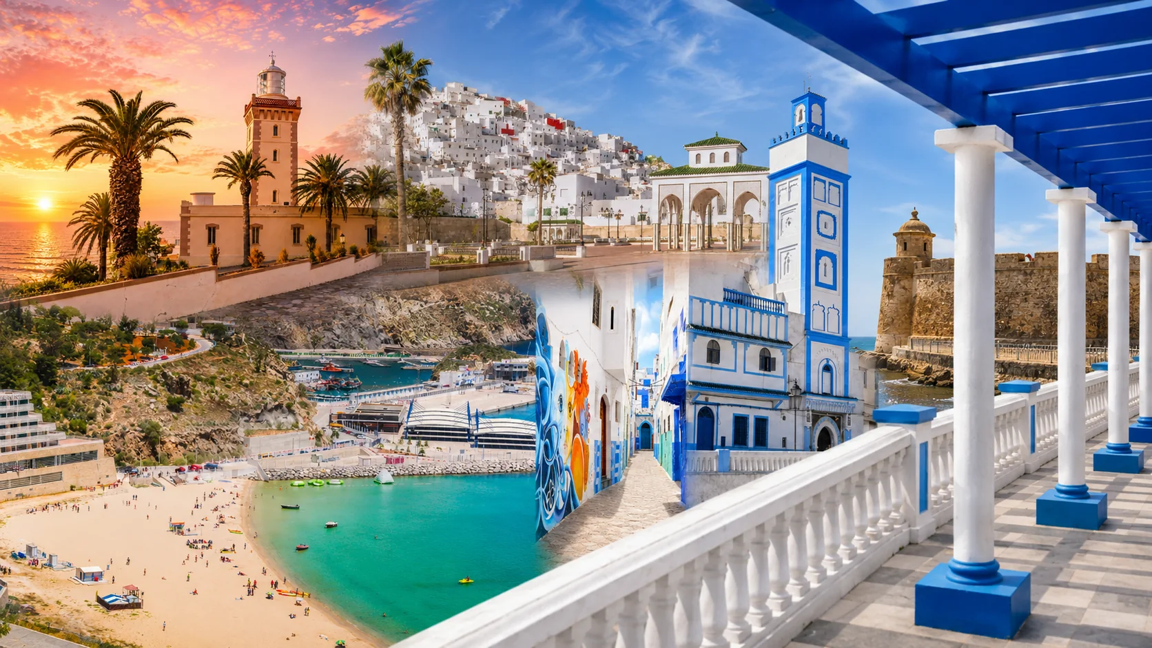
Strait Cities, Blue Mountains & Mediterranean Coast
Strait cities, Andalusian medinas, blue mountain streets, Atlantic walls and Mediterranean bays — a northern route through Tangier, Tétouan, Chefchaouen, Asilah, Larache, Ouazzane and Al Hoceima.
Northern Morocco moves between the Strait of Gibraltar, white Andalusian medinas, blue Rif towns, Atlantic ramparts, inland mountain thresholds and Mediterranean bays. It is a region of contrasts: outward-looking Tangier, refined Tétouan, mountain Chefchaouen, artistic Asilah, river-facing Larache, spiritual Ouazzane, strategic Taza and sea-light Al Hoceima.
The Rif is a mountain geography within a much more varied northern story. Strait cities, Atlantic ports, inland towns and Mediterranean shores overlap here without forming one cultural box. Use the collection to compare connections: a city to its harbour, a medina to nearby hills, or a mountain route to the coast it eventually reaches.
Strait city, kasbah views and Atlantic-Mediterranean memory.
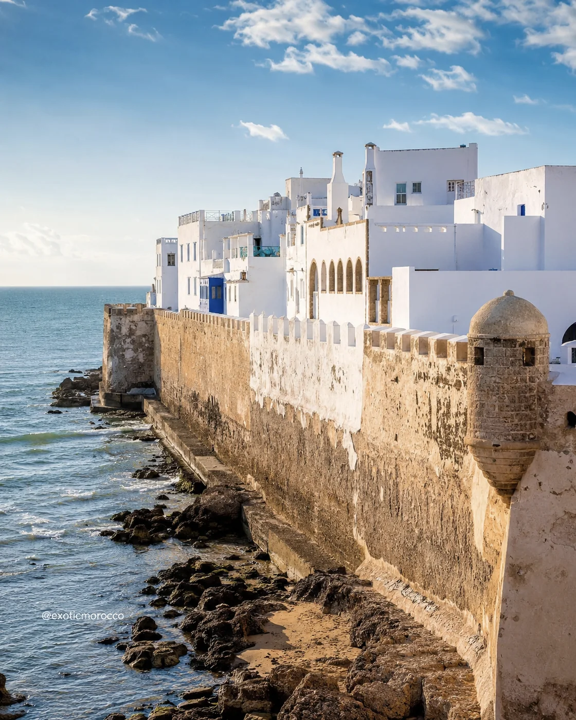
Atlantic walls, ocean ramparts and painted medina lanes.
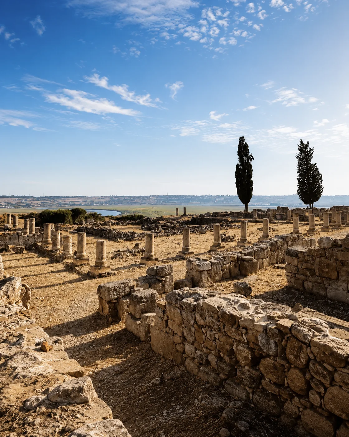
River mouth, Lixus ruins and Atlantic memory.
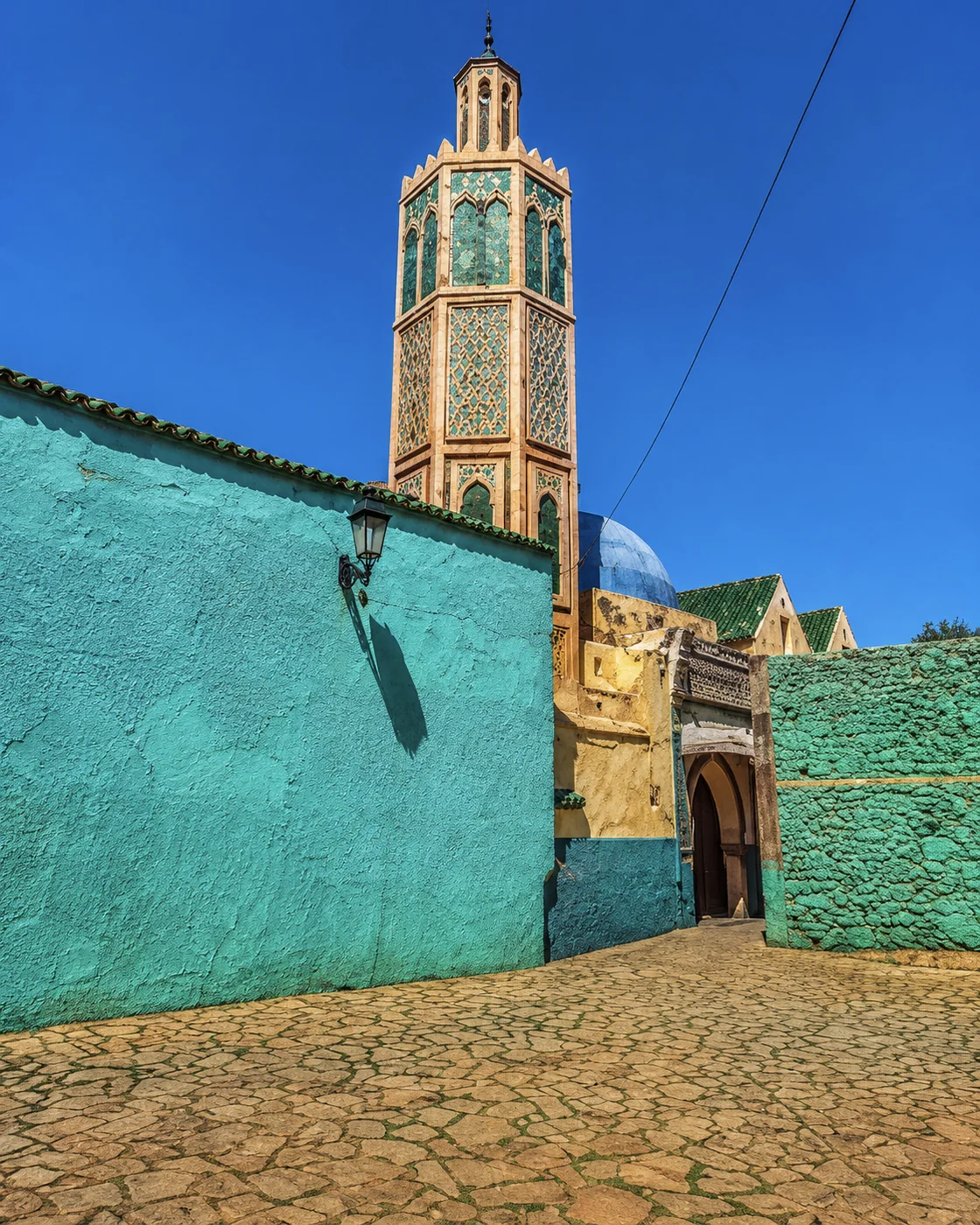
Green sanctuary, zawiya lanes and Jbala calm.
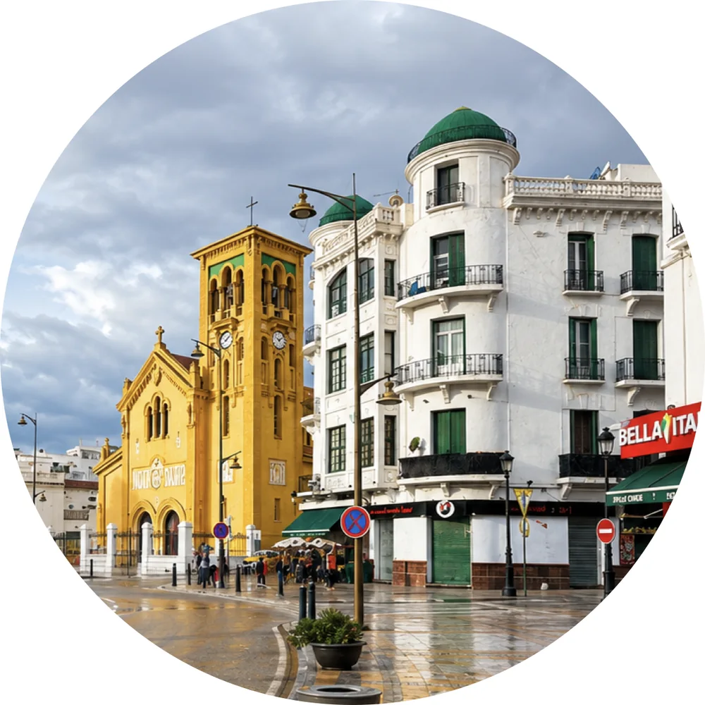
White medina, Andalusian craft and elegant urban calm.
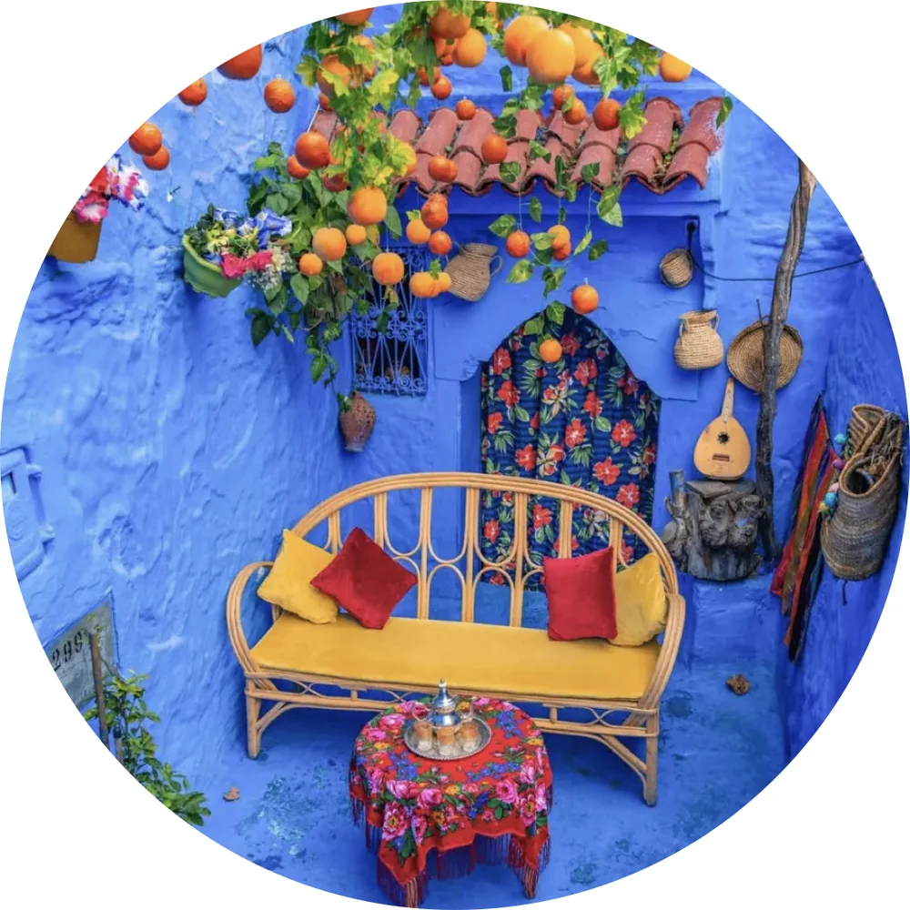
Blue mountain medina, springs, kasbah and Rif atmosphere.
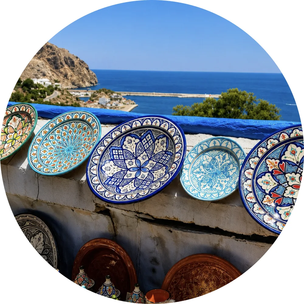
Mediterranean bays, cliffs, beaches and open sea.
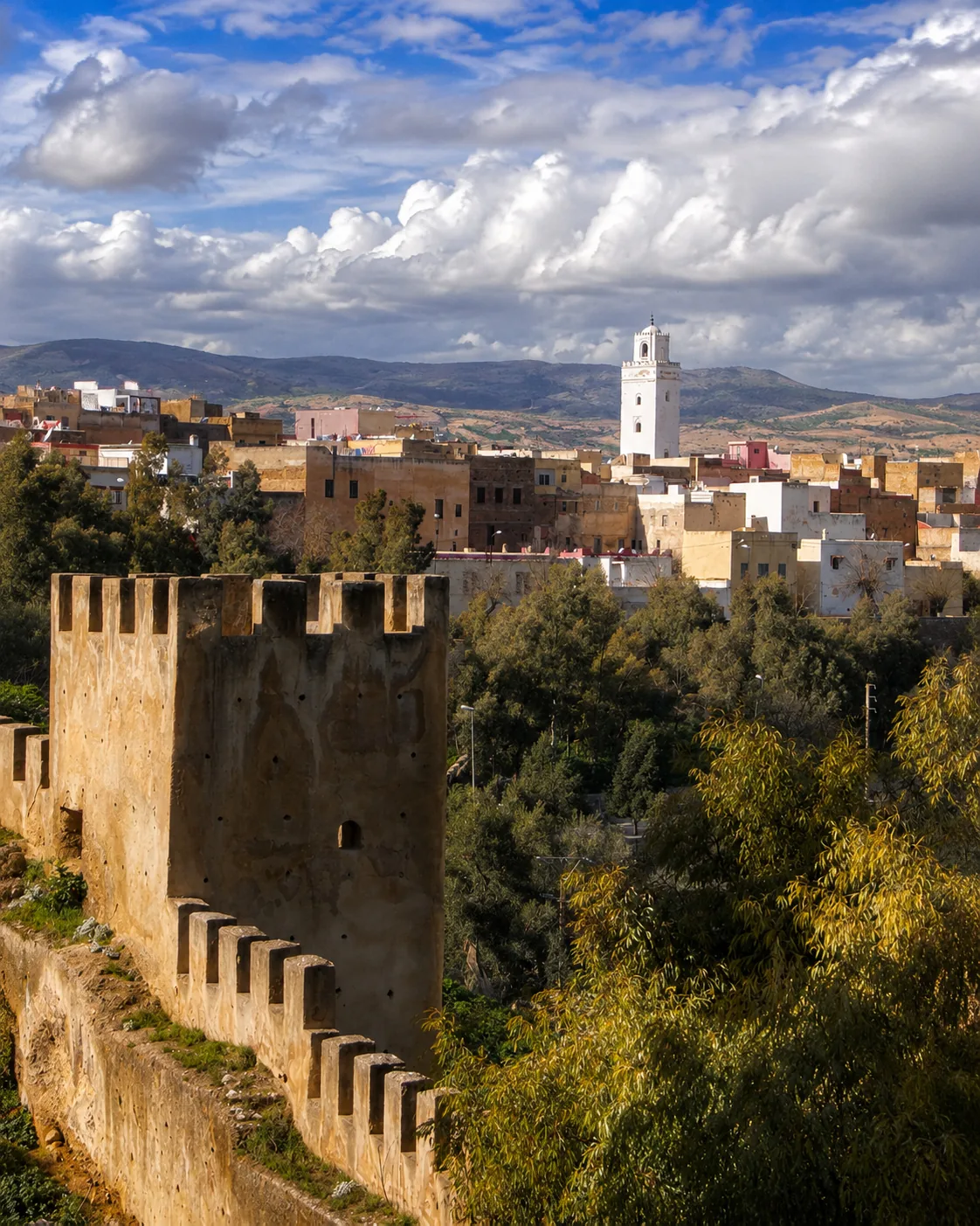
Mountain gate, caves, gorges and inland passage.
A northern route can begin in Tangier, pass through Tétouan and Chefchaouen, follow the Atlantic memory of Asilah and Larache, touch Ouazzane and Taza’s inland mountain gate, and finish along the Mediterranean Rif coast near Al Hoceima.
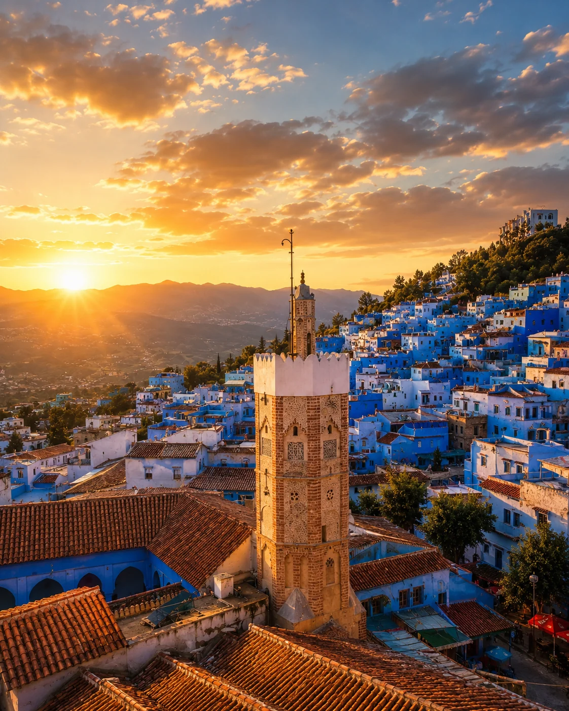 Chefchaouen · Blue Rif heart
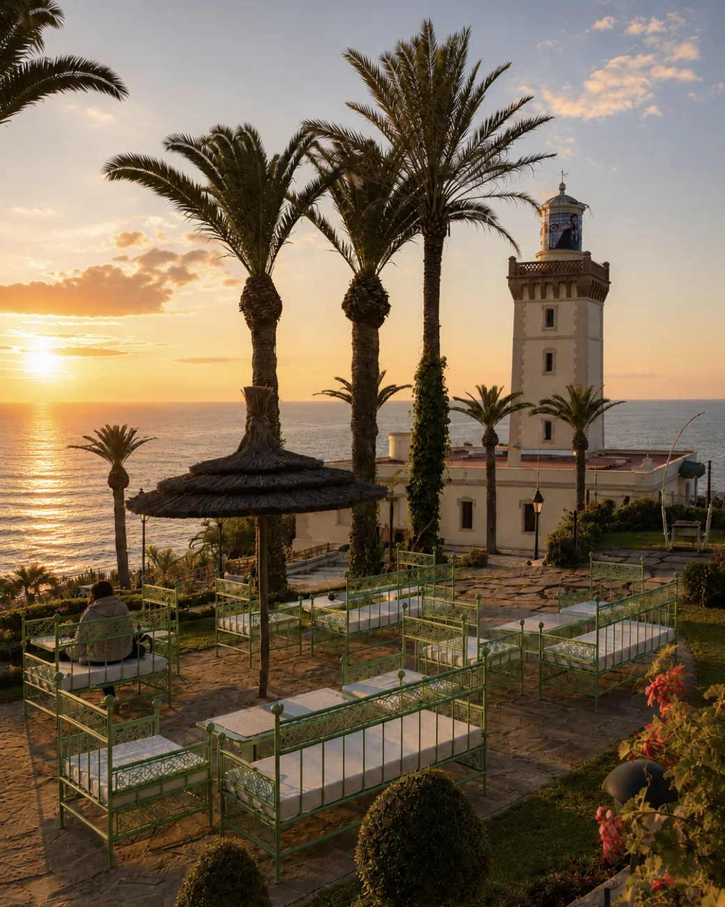 Cap Spartel
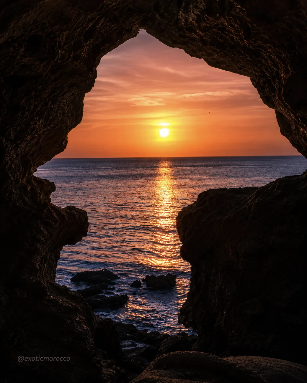 Caves of Hercules
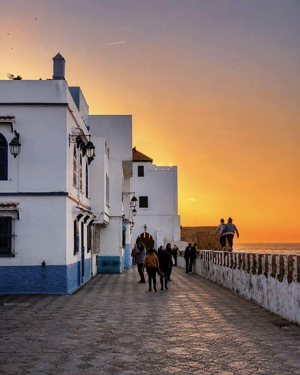 Asilah Ramparts
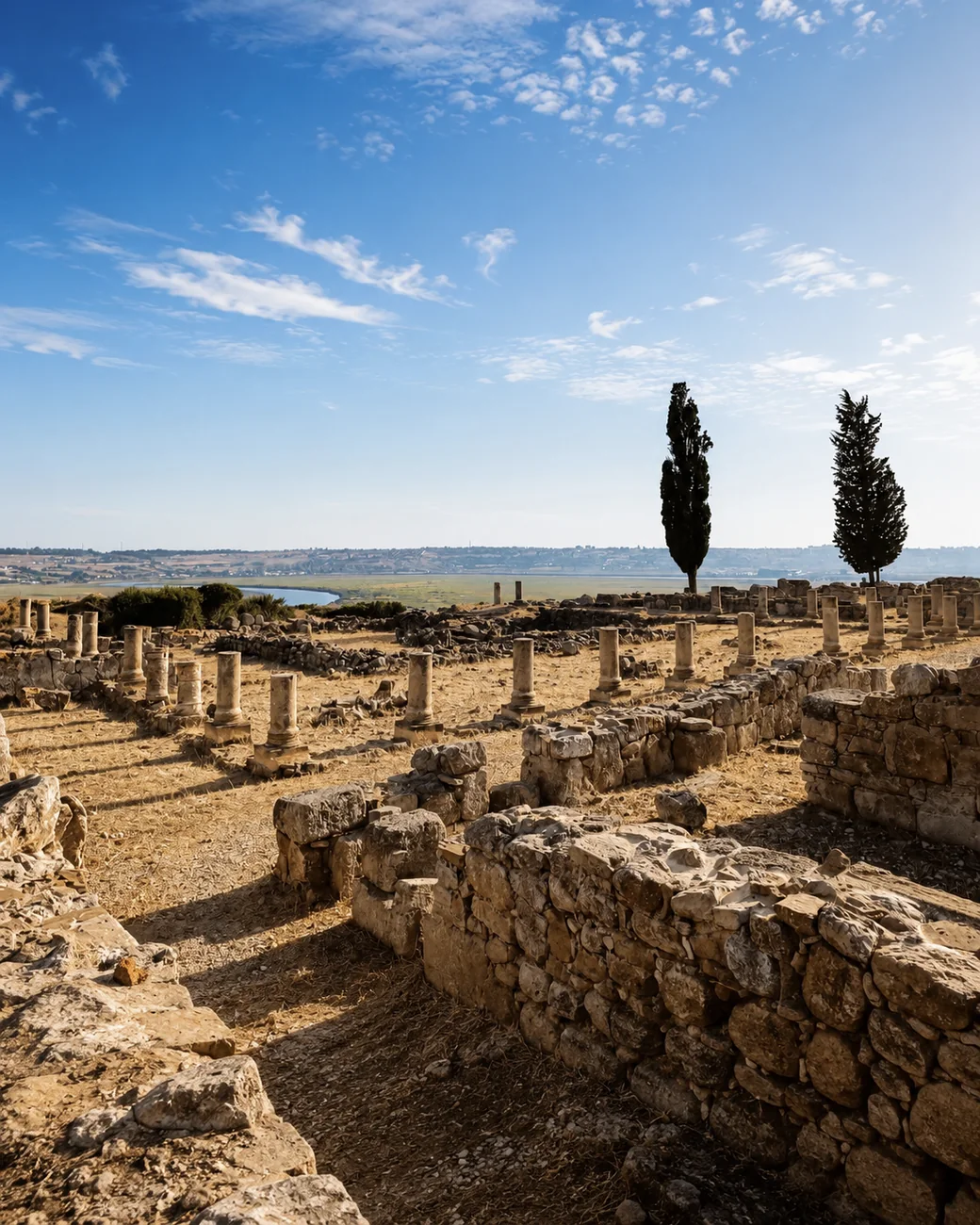 Lixus & Loukkos
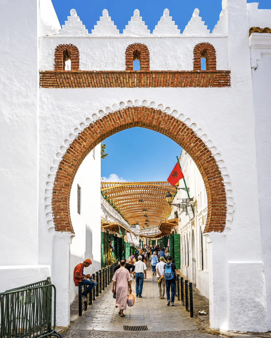 Tétouan Medina
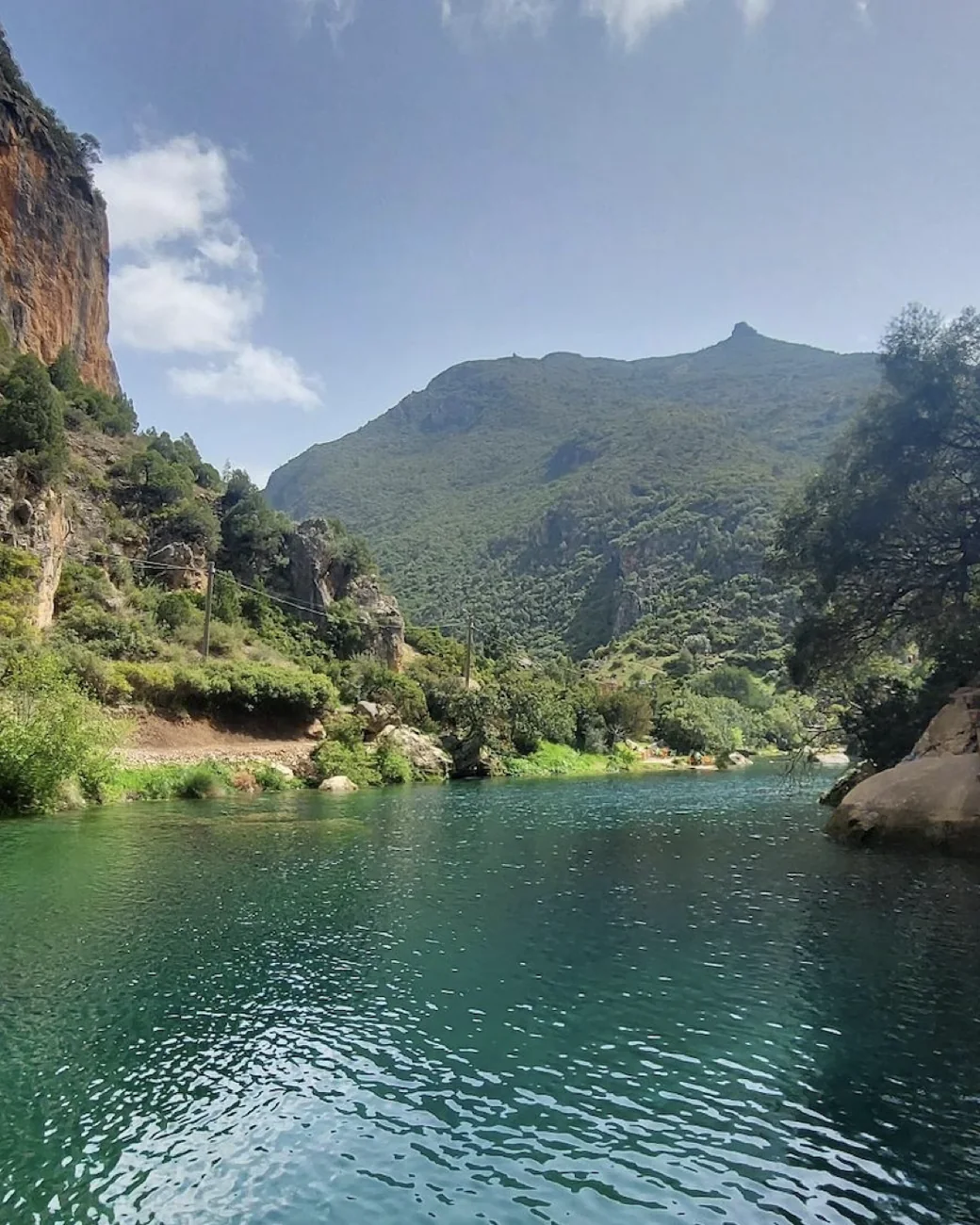 Akchour
This region is not a single atmosphere. It is a sequence of thresholds and contrasts: ports and promontories, medinas and mountain towns, shrine landscapes and open bays.
The north is Morocco’s most layered threshold: Atlantic, Mediterranean, mountain and strait landscapes meet in a tight, readable arc.
Tétouan and Chefchaouen hold deep Andalusian echoes in urban form, courtyard culture, detail and craft language.
Tangier, Asilah, Larache and Al Hoceima each face the sea differently: diplomatic, artistic, estuarine and Mediterranean.
The Rif adds mountain settlements, springs, pilgrimage routes, rural texture and a strong sense of northern regional depth.
Tangier opens the route outward; Tétouan adds Andalusian refinement; Chefchaouen makes the mountain medina unforgettable; Al Hoceima gives the region its sea-light finish.
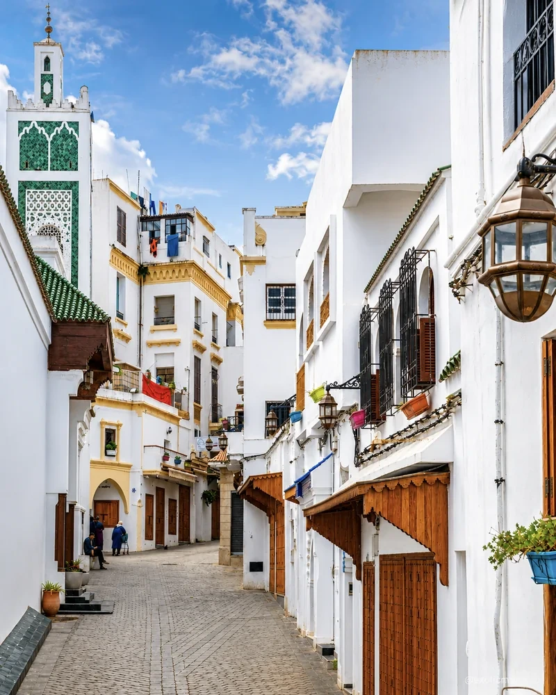
Strait views, diplomacy, layered quarters and Atlantic-to-Mediterranean energy.
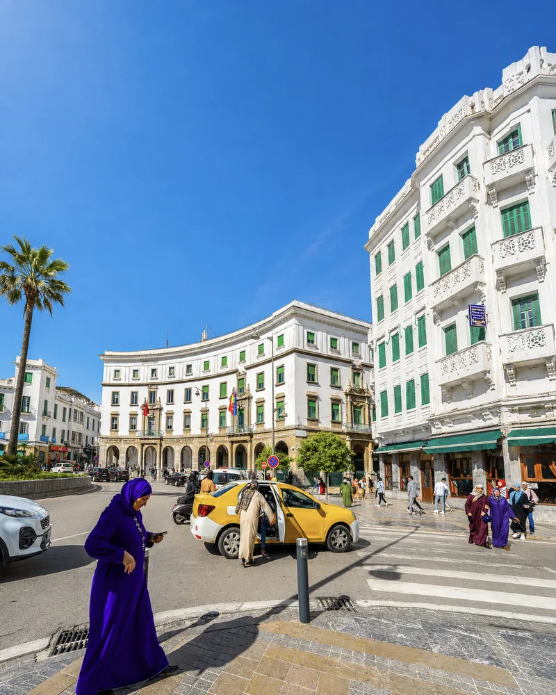
A medina of whitened walls, craft memory, elegant squares and nearby coast.
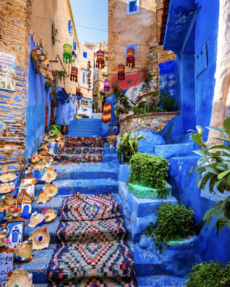
Blue lanes, kasbah calm, spring water and excursions into the Talassemtane landscape.
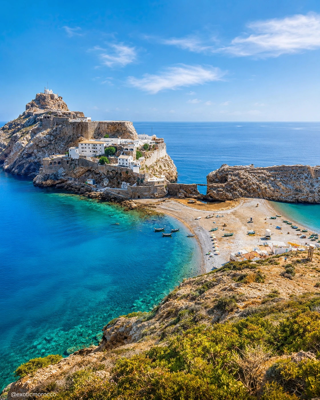
Bays, beaches, cliffs and national-park scenery bring the region its sea-light finish.
Instead of one imperial story, the north is formed by crossings, arrivals, shrine culture, mountain life and multiple coasts.
Lixus and the Loukkos shoreline preserve one of the north’s oldest coastal layers, moving from Phoenician and Punic memory into Roman and later Islamic phases.
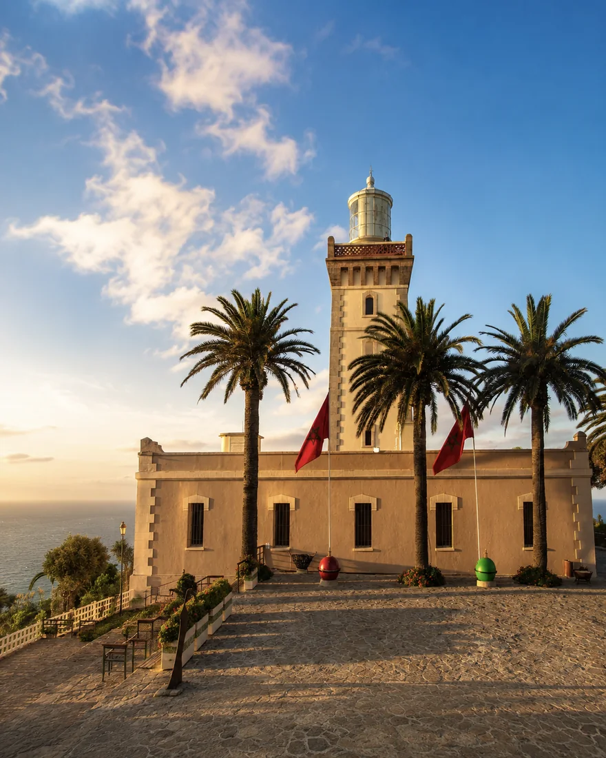
Tangier gathers the Strait story: kasbah views, Cap Spartel, the Caves of Hercules, the American Legation and long Atlantic-Mediterranean crossings.
Tétouan and Chefchaouen carry Andalusian echoes through white medina walls, blue lanes, courtyard craft, intimate streets and mountain-town rhythm.
Ouazzane adds a quieter inland register: zaouia memory, pilgrimage atmosphere, green-painted lanes, weaving traces and olive hills.
Asilah and Larache bring coastal calm through ramparts, murals, estuary light, working-port views and the archaeological memory of nearby Lixus.
Al Hoceima and the Rif coast complete the route with turquoise bays, rocky coves, national-park cliffs, beach pauses and a clear sea-facing finish.
Tangier opens the northern route with crossings, sea light and layered urban memory.
Atlantic and Mediterranean atmospheres meet here: Kasbah views, Cap Spartel, the Caves of Hercules, port edges, old diplomatic quarters and the lively Socco squares all make Tangier a city of passage and encounter.
Choose a viewpoint over the Strait, then return to street level. The distance between a broad maritime horizon and an ordinary shopping route is part of Tangier's character. Its institutions and neighbourhoods offer more precise histories than the general language of cosmopolitan romance. Give a museum or documented building time to explain one of those histories. If you continue towards Tétouan, leave the transfer separate from an already full city day so the change in scale remains visible.
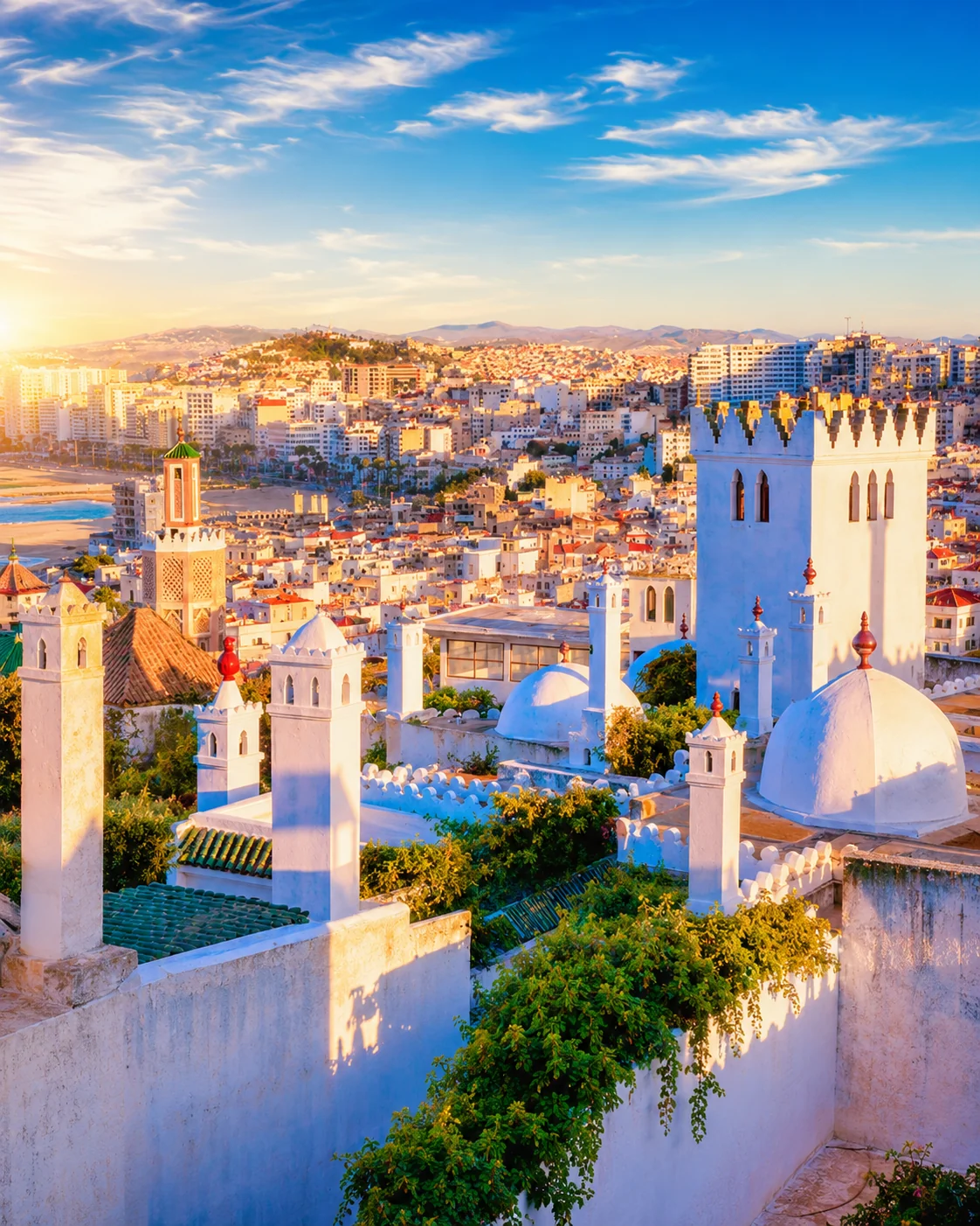 Tangier rooftops
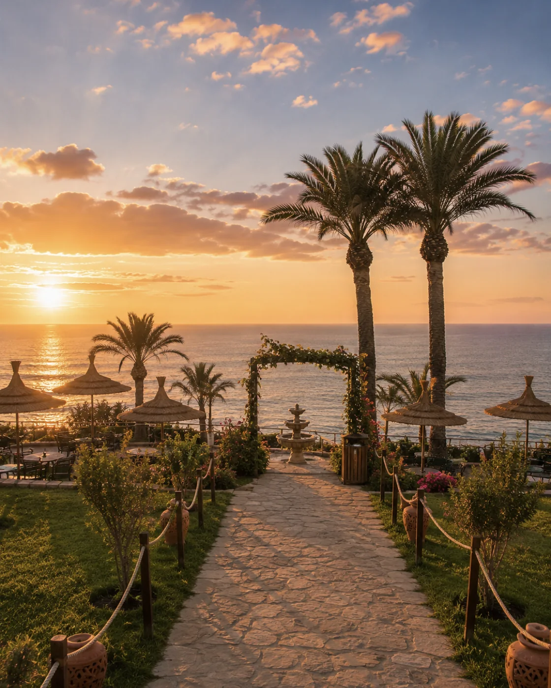 Cap Spartel
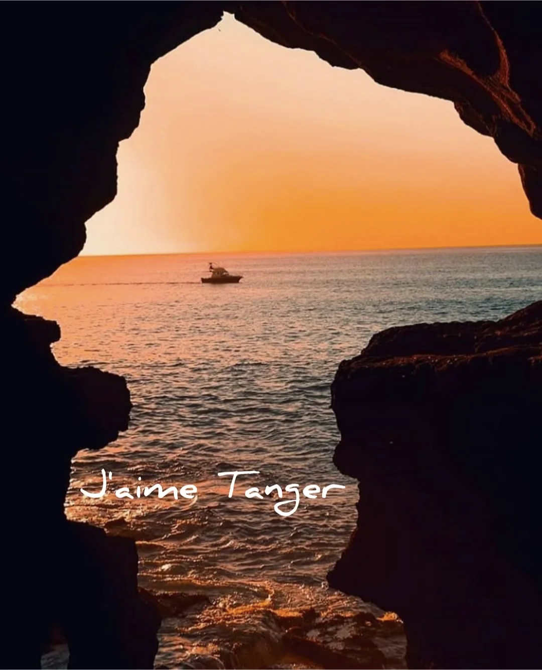 Caves of Hercules
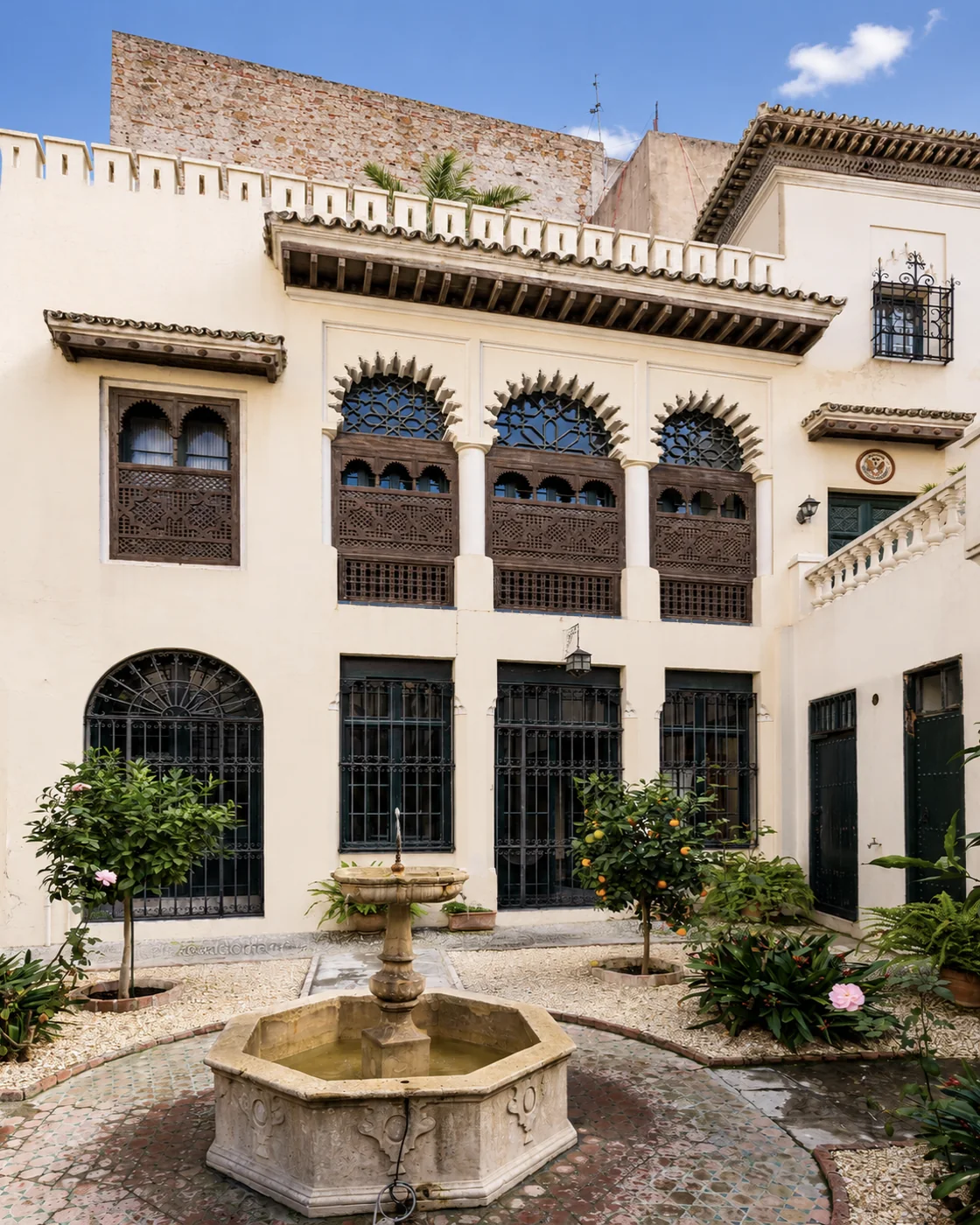 American Legation
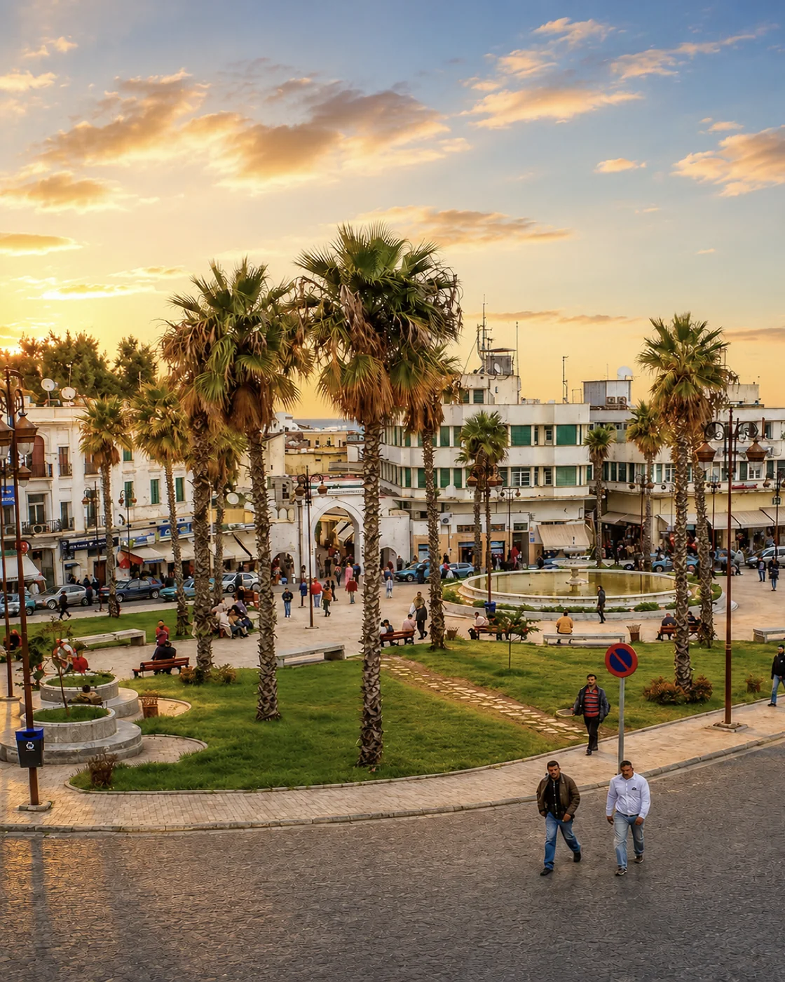 Grand Socco
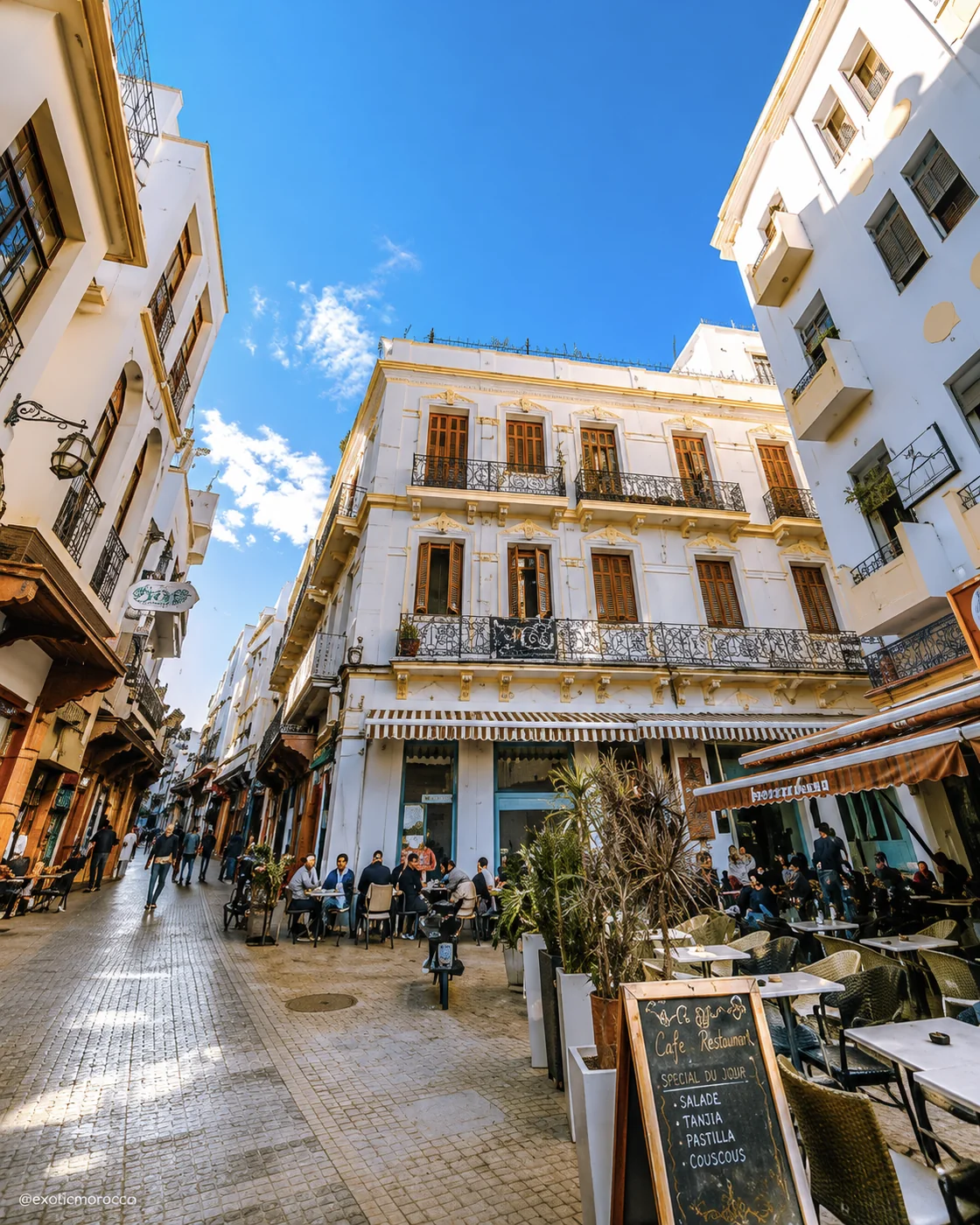 Petit Socco
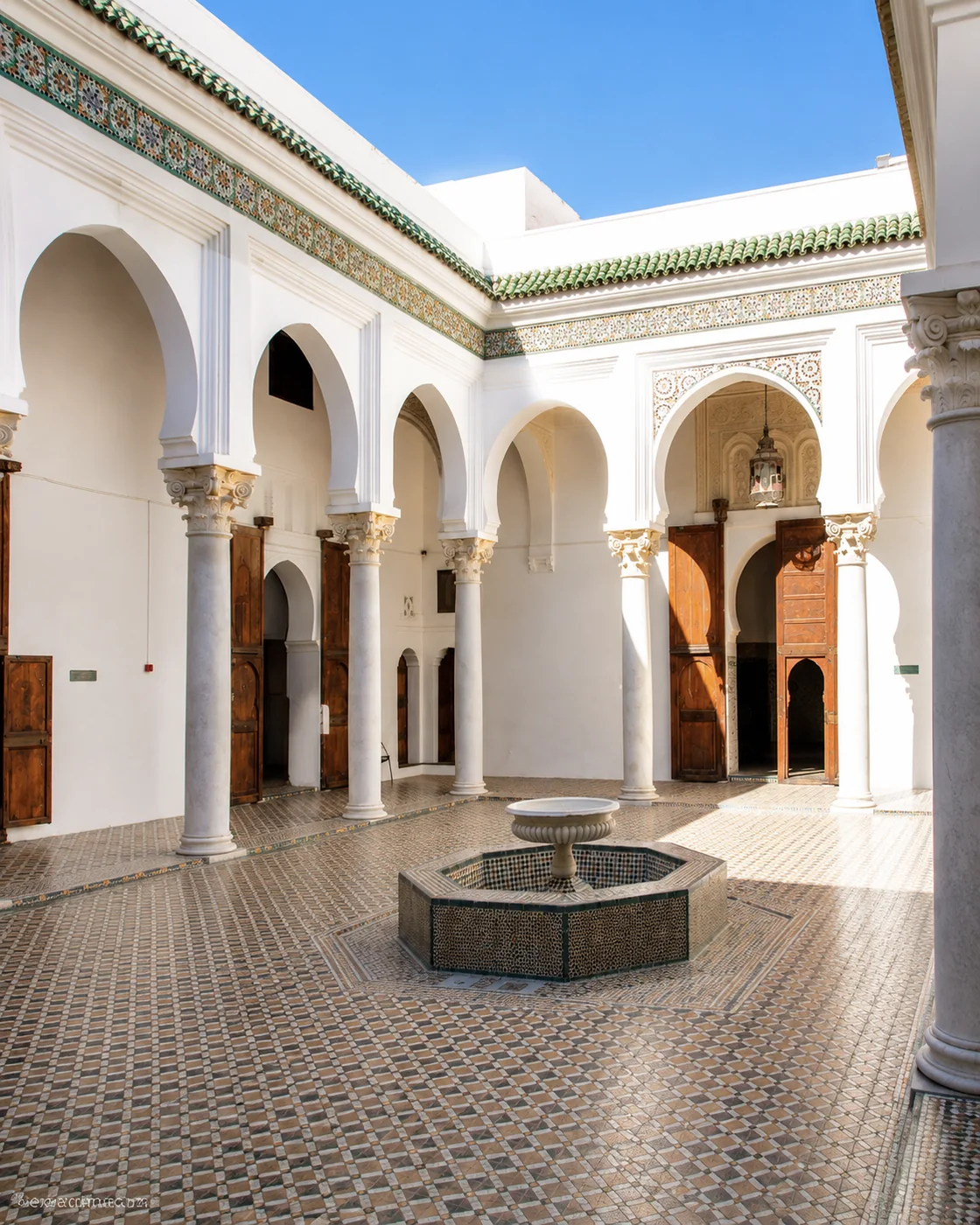 Dar el Makhzen
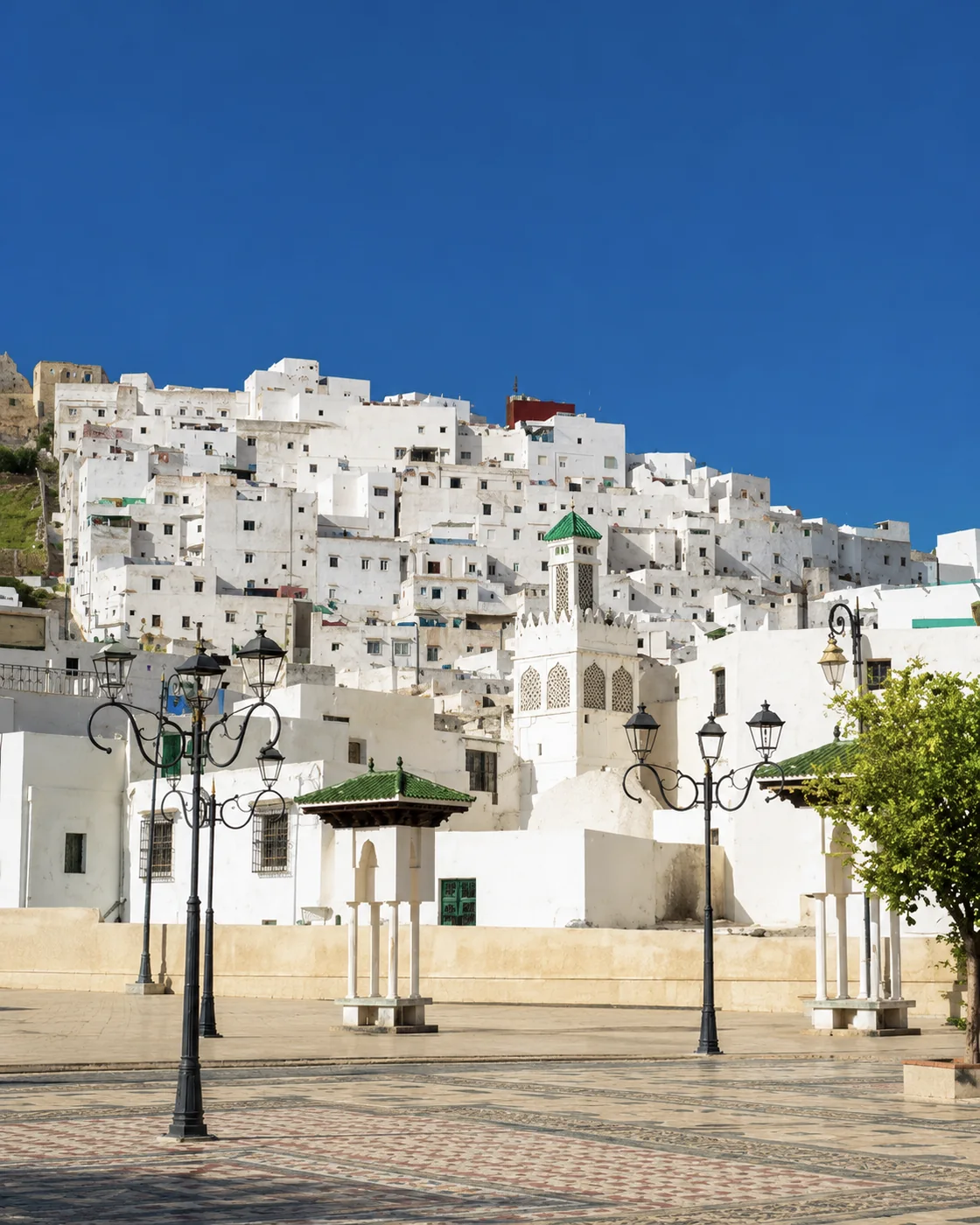 White Medina
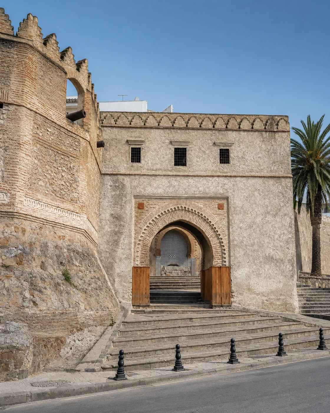 Bab Okla
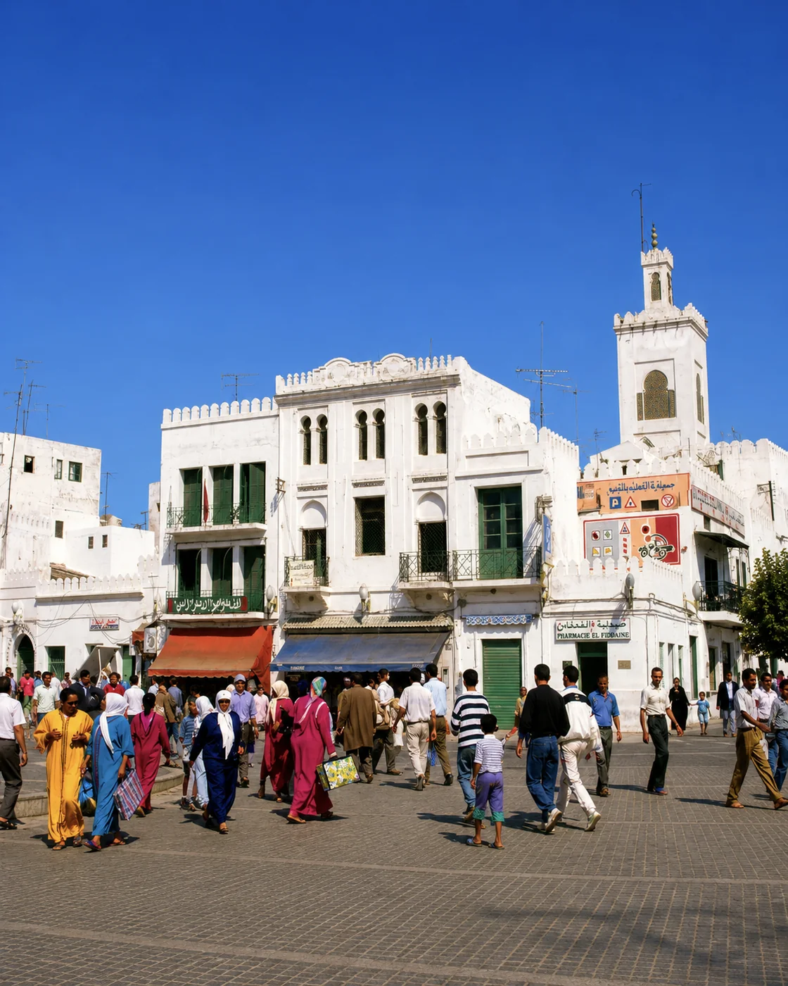 Place Hassan II
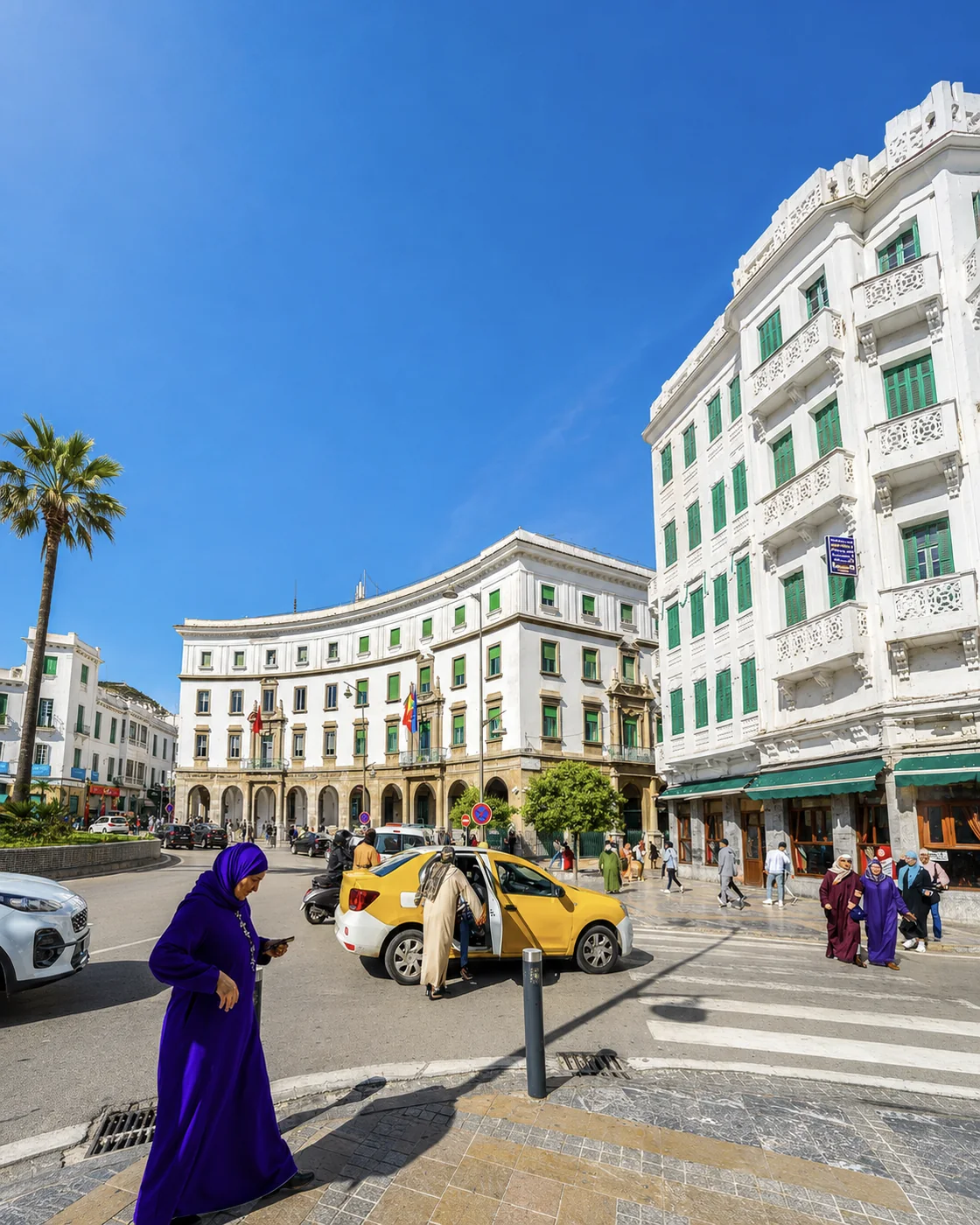 Ensanche
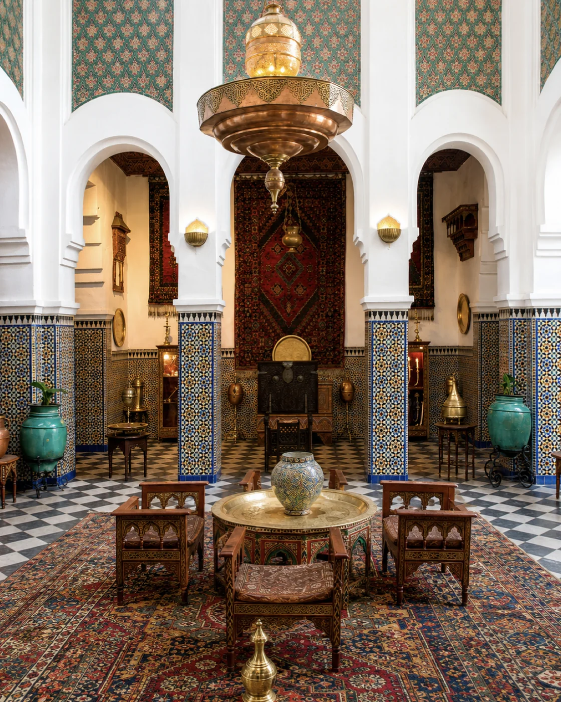 Heritage interior
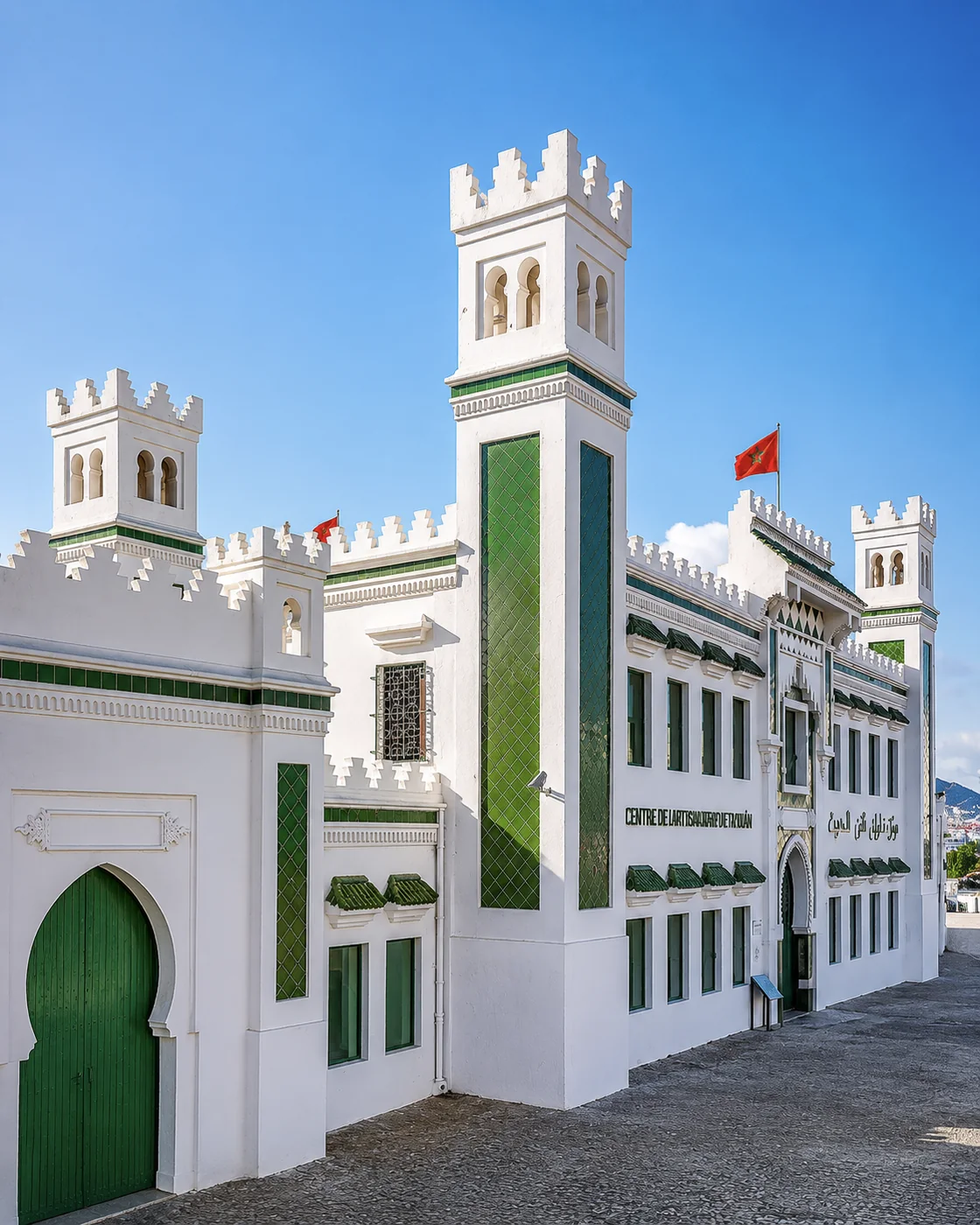 Dar Sanaa
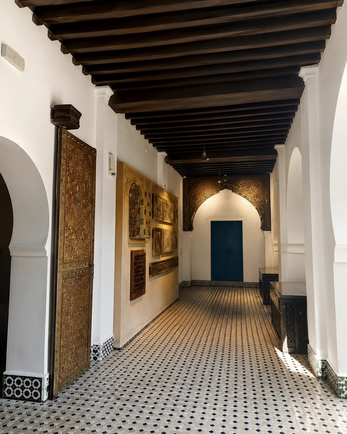 Museum corridor
Tétouan brings Andalusian craft, white-medina calm and composed northern refinement.
Its UNESCO medina, Bab Okla, Place Hassan II, the Ensanche and Dar Sanaa hold a careful urban memory where architecture, craft, white walls and daily city life stay beautifully connected.
UNESCO's account emphasises Tétouan's connections with Andalusian history. Those connections become more useful when read through particular streets, buildings and skills, rather than a uniform colour identity. Compare a busy commercial route with a quieter threshold and ask how craft enters present-day use. The medina and the later city beyond it deserve different walks. Nearby coastal towns offer another setting altogether; a beach visit should not stand in for understanding Tétouan's urban life.
Chefchaouen gives the north its blue world: mountain air, medina lanes and flowing water.
The town sits inside the Rif, where blue stairways, fountains, courtyard details, the kasbah, Plaza Uta el-Hammam and Ras El Maa meet the open landscape and mountain routes toward Akchour.
Blue surfaces attract the first photograph, but water, slopes and the paths between homes explain more of the town. Walk beyond a single recognisable stairway and notice how the ground changes your pace. Do not treat every doorway as a photo set: this is lived space. A visit to Akchour or the wider Talassemtane landscape requires its own assessment of route, conditions and time. The mountain excursion is a different undertaking from a gentle medina walk.
Blue stairs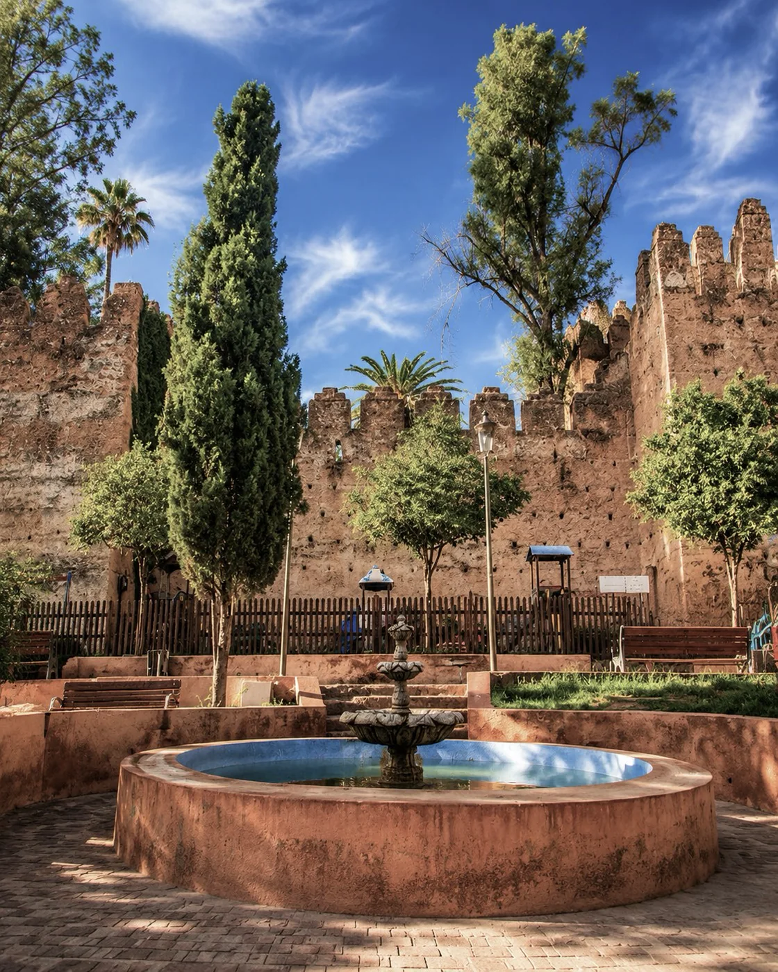 Kasbah
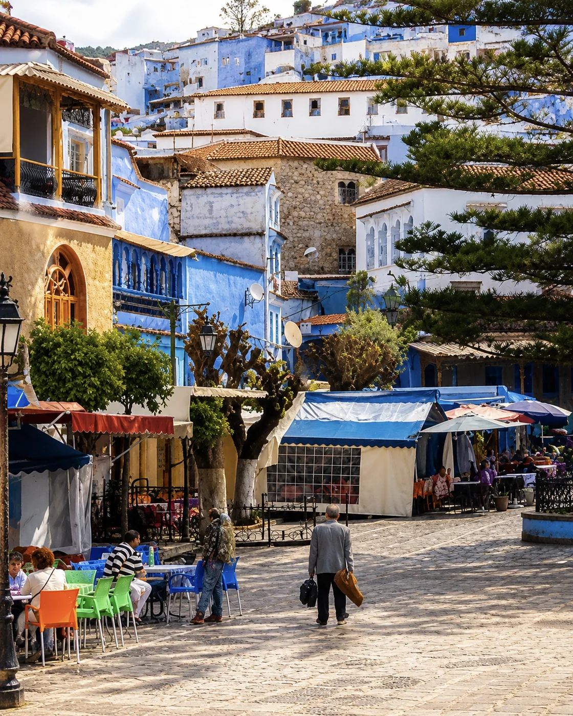 Plaza Uta el-Hammam
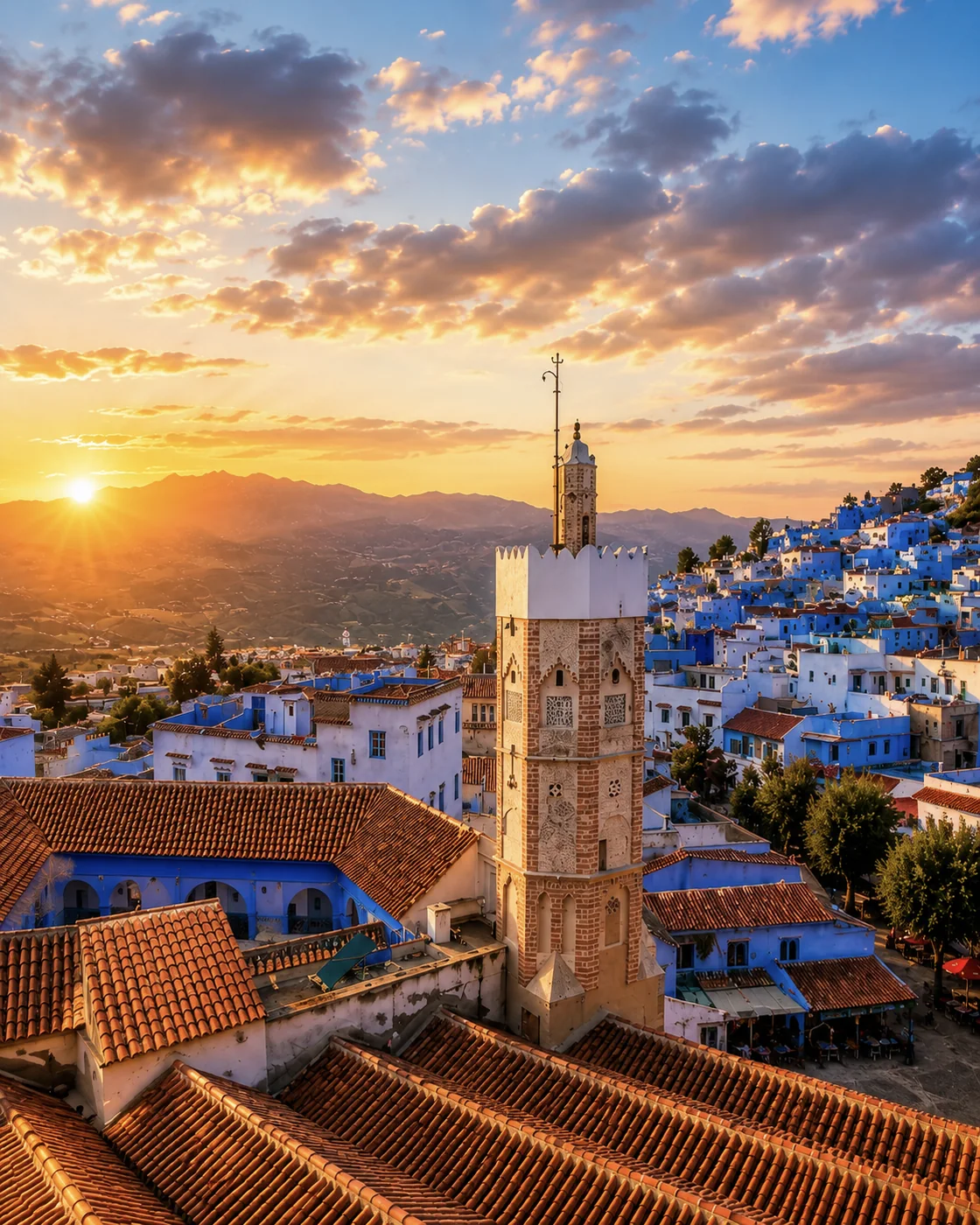 Medina sunset
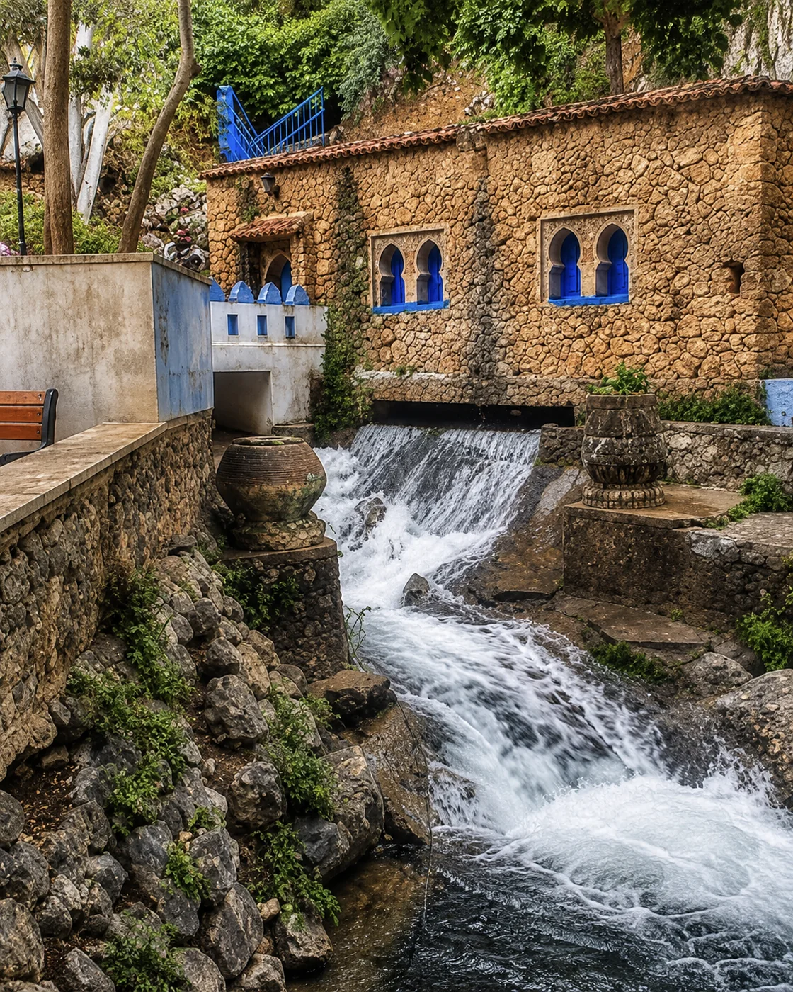 Ras El Maa
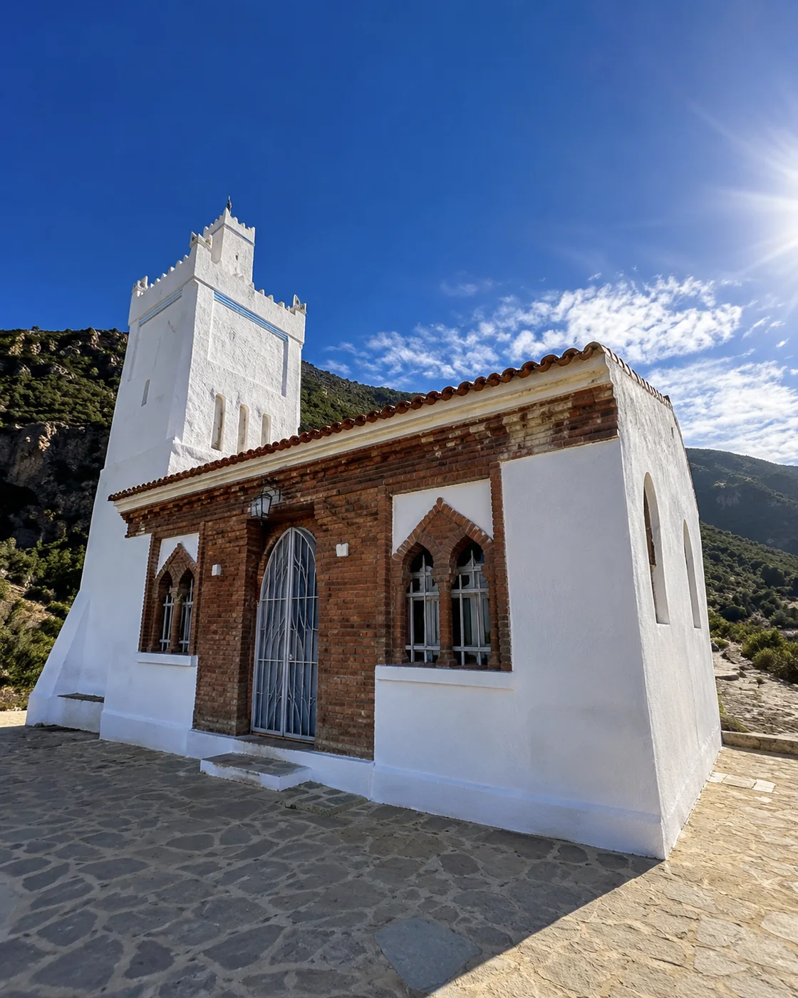 Spanish Mosque
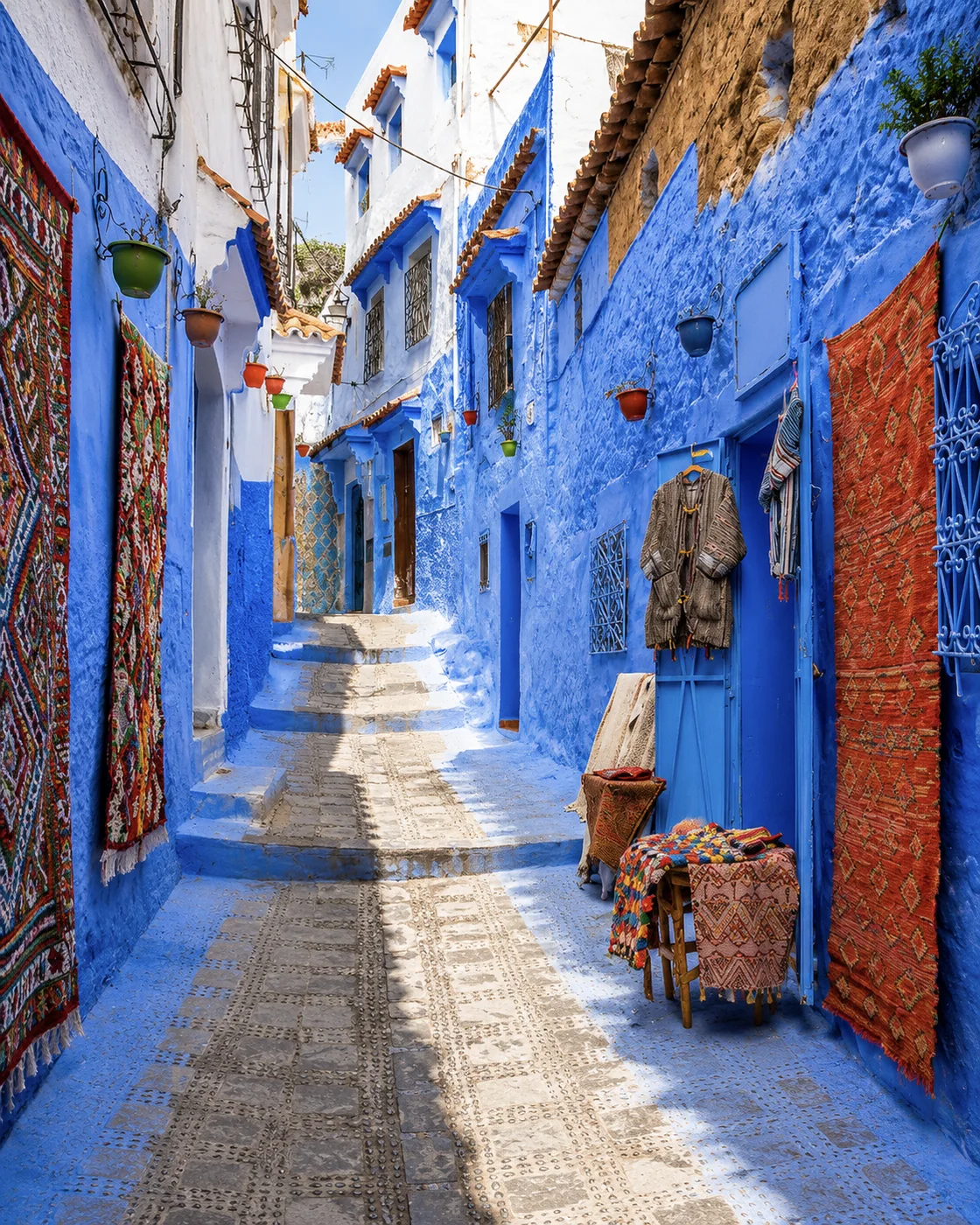 Blue laneRamparts & Ocean
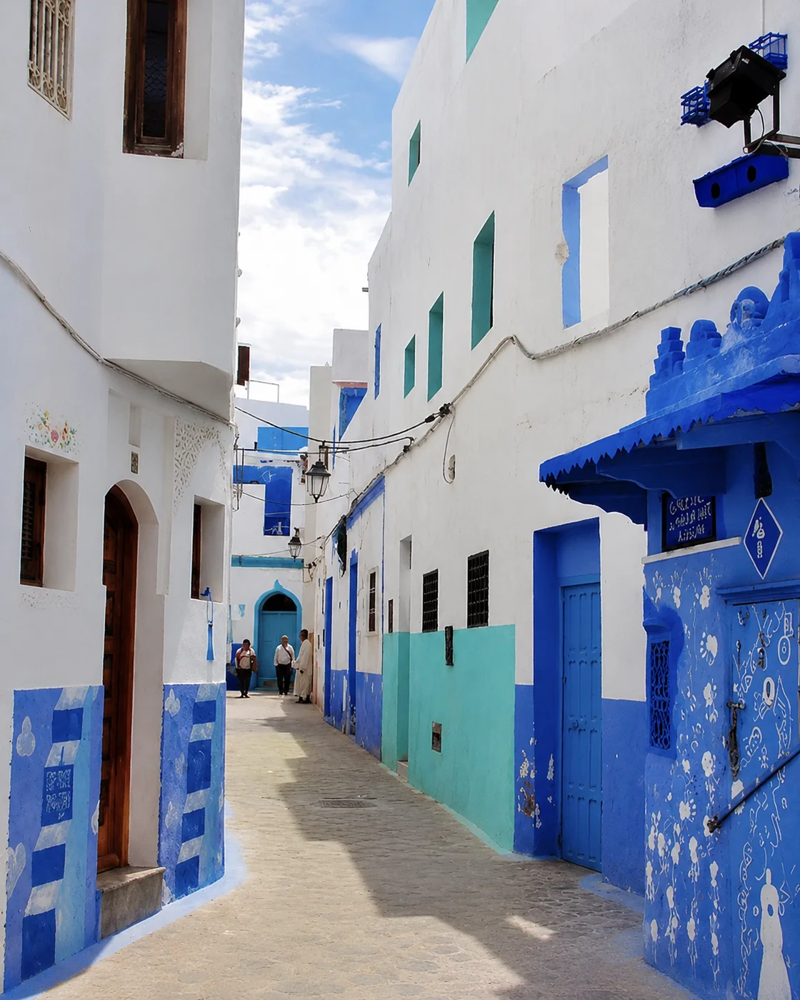 Blue lane
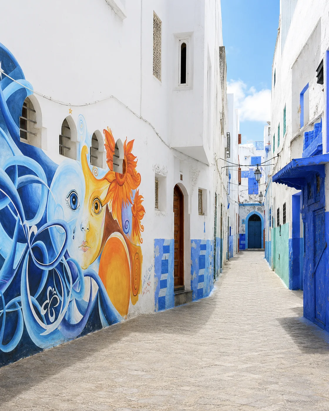 Mural lane
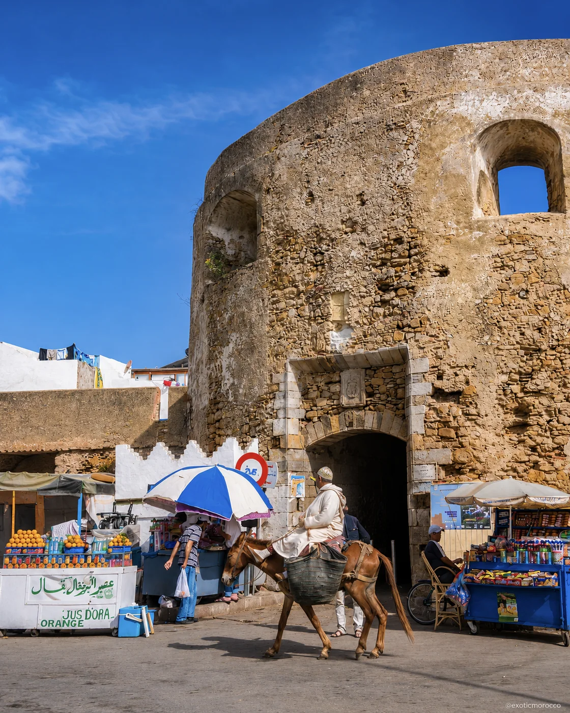 Bab Homar
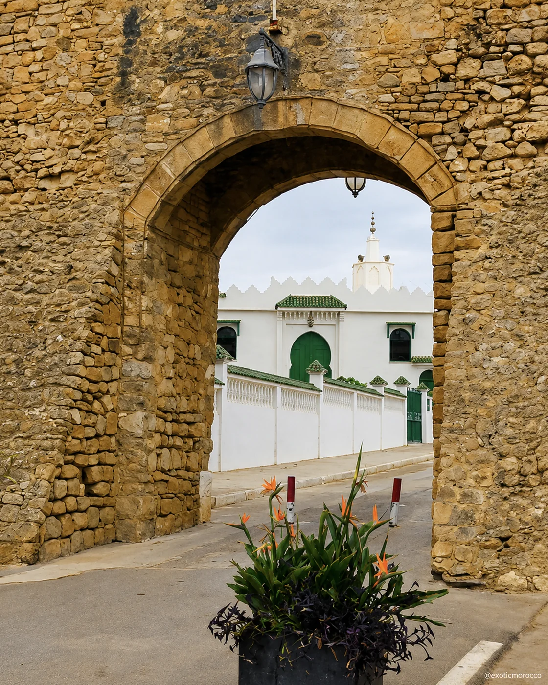 Stone gate
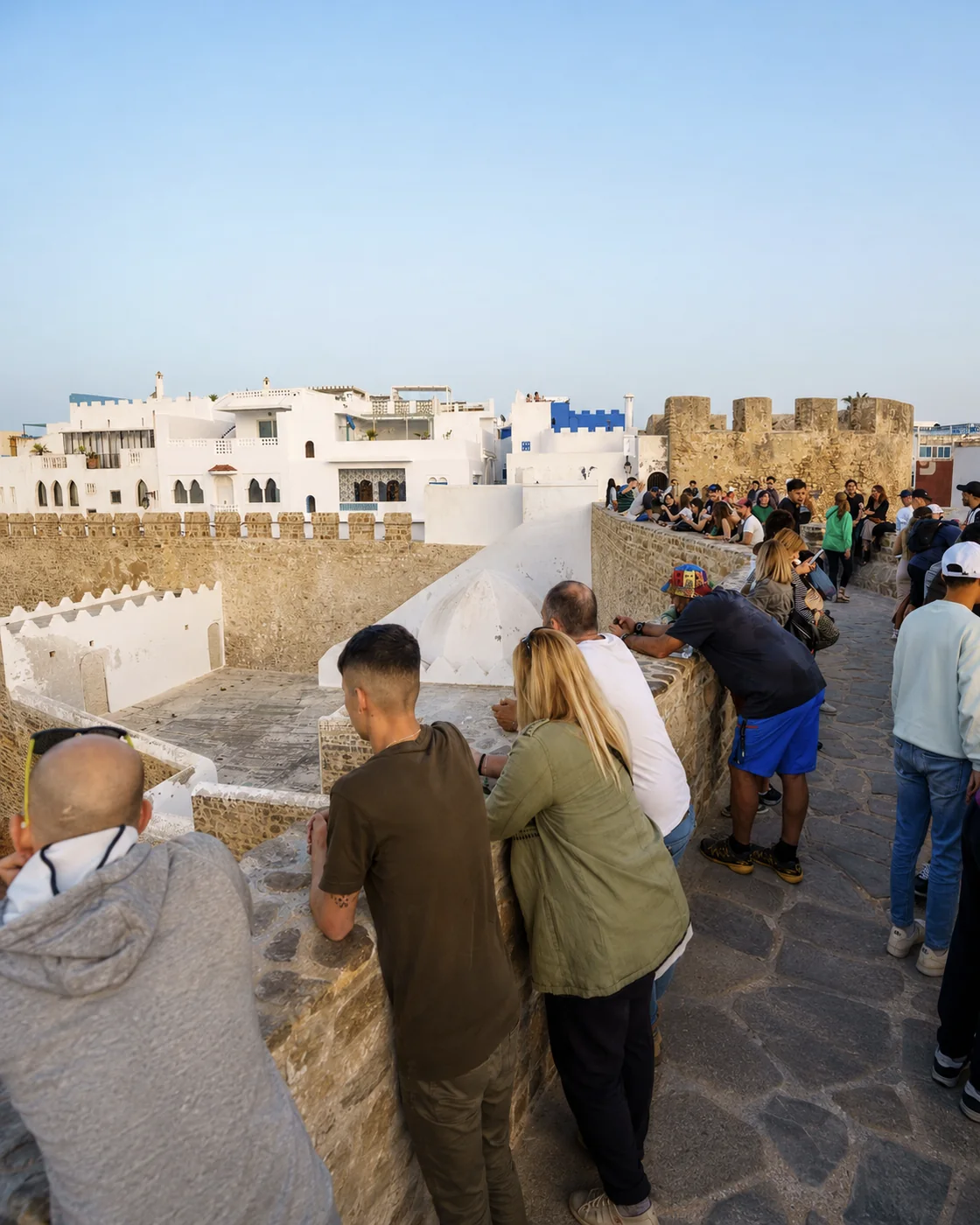 Krikia viewpoint
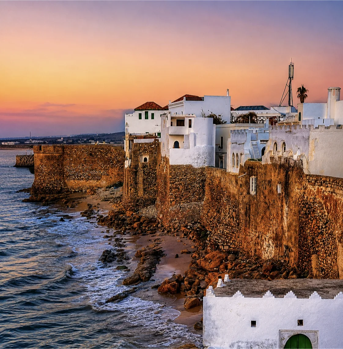 Portuguese ramparts
Asilah softens the route with white ramparts, mural lanes and Atlantic coastal calm.
Medina ramparts, seaside viewpoints, blue doors, painted walls, stone gates and ocean-facing lanes create a clean coastal chapter, lighter and quieter than the larger northern cities.
Use the sea wall and the lanes as two readings of the same place. Exposure and openness outside contrast with a smaller-scale interior route. Art in the streets can change, and the life around it includes homes, shops and everyday errands. A considered visit gives both attention. Asilah fits naturally into a northern Atlantic segment with Larache; it does not need to be forced between mountain stops simply because they share the Northern Morocco label.
Larache adds Atlantic nostalgia, river light and the ancient memory of Lixus.
Spanish-era streets, the Loukkos estuary, Balcón Atlántico, working-port views, old squares and the ruins of Lixus make this a layered pause between coast, archaeology and local life.
Follow the Loukkos setting into your understanding of the city. The estuary creates a different coastal relationship from a town facing directly onto an open beach. Nearby Lixus adds archaeological depth, but its remains and the modern port must be read through their own dates and functions. Choose time for both if the comparison interests you. The quieter spaces between viewpoints can reveal how the city works beyond a small set of picturesque facades.
Lixus ruins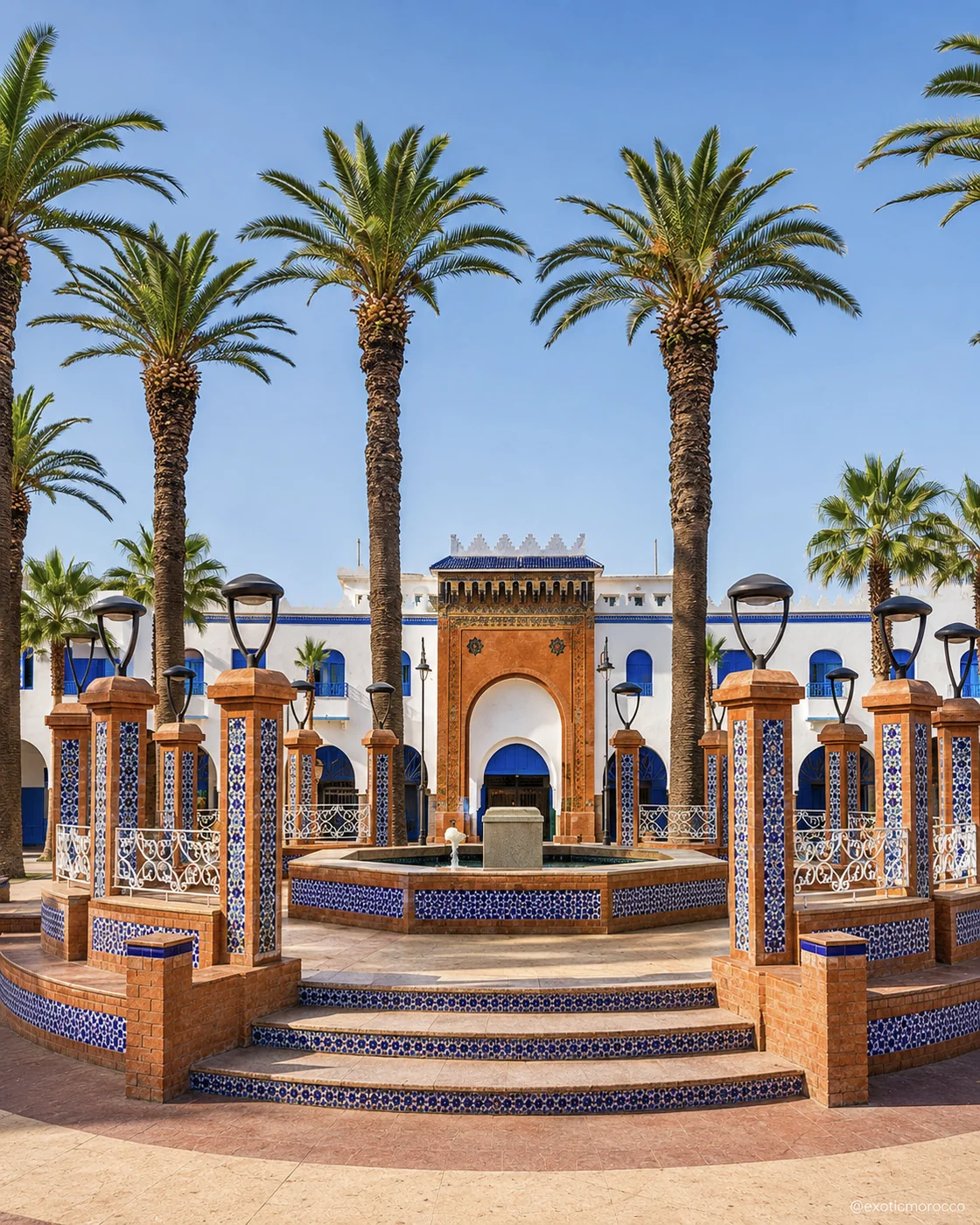 Place de la Libération
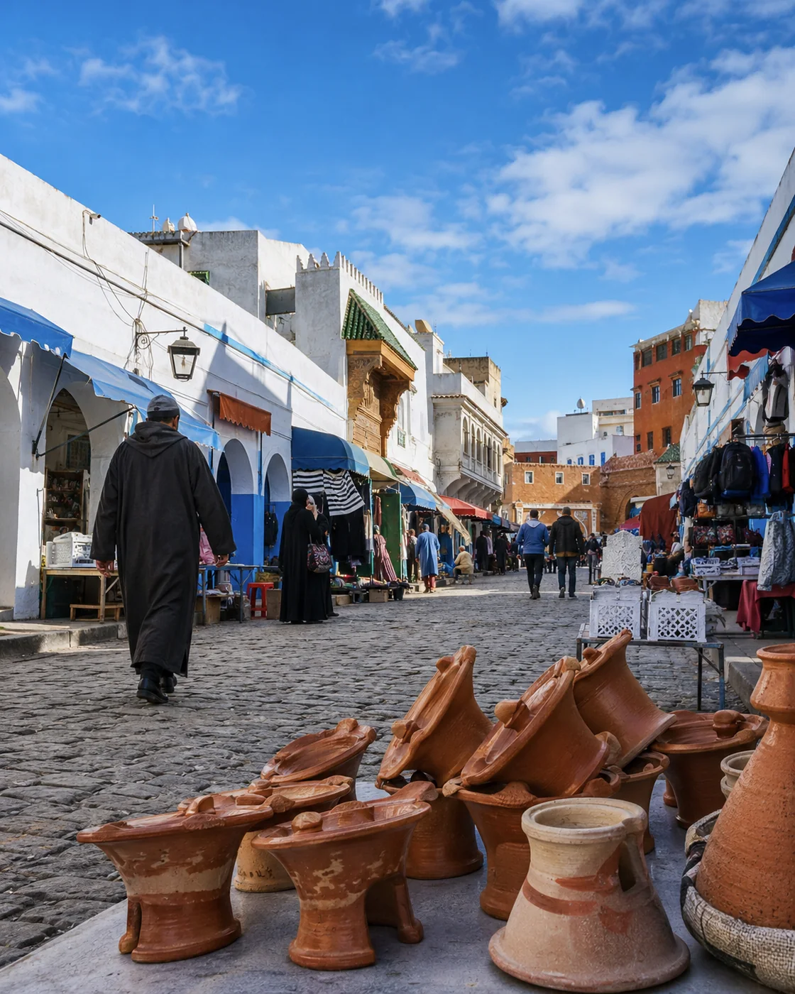 Medina street
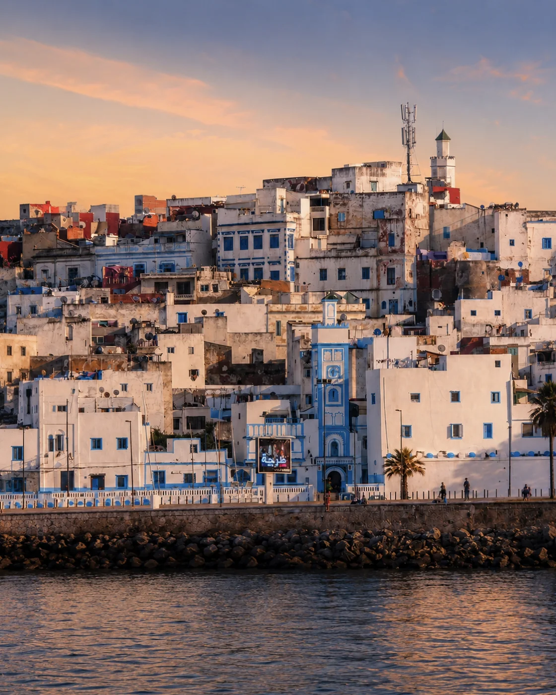 Loukkos waterfront
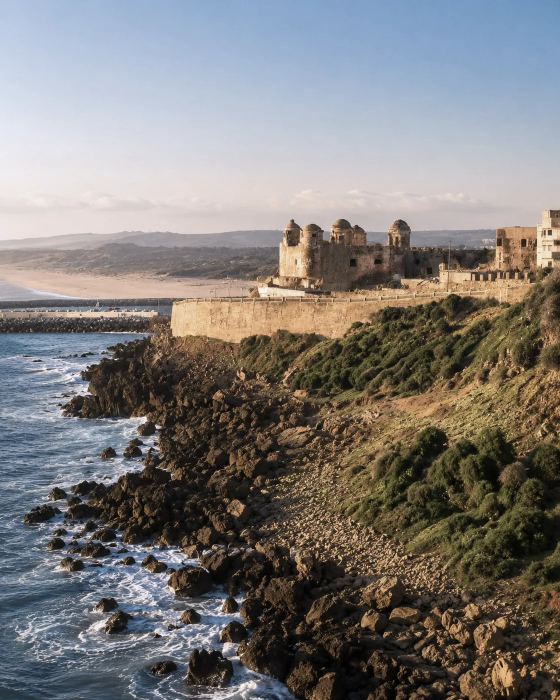 Fort Al Kebibat
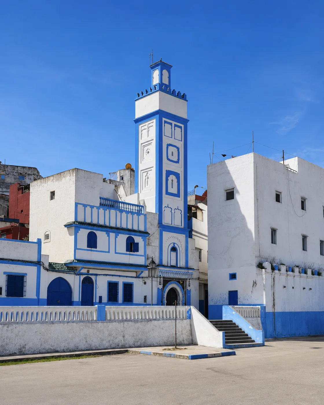 Blue mosque
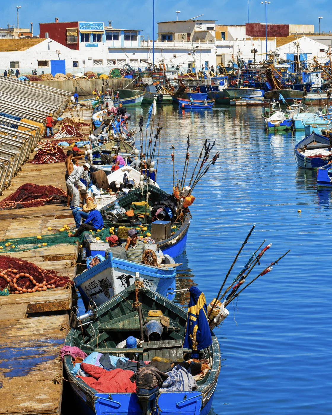 PortZaouia minaret
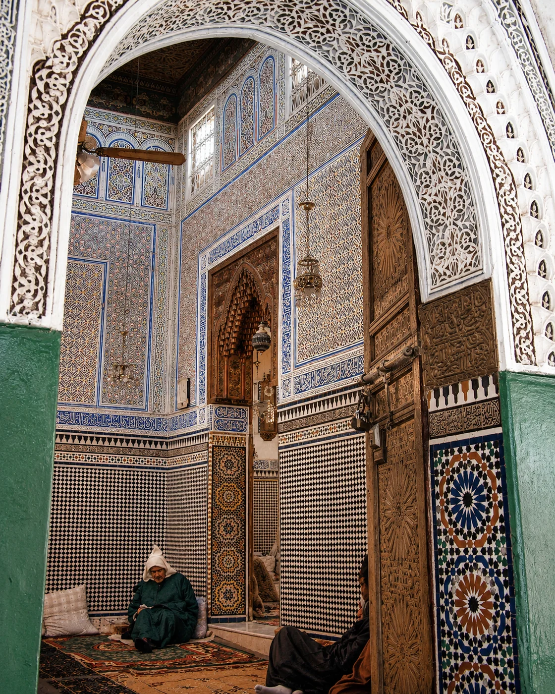 Shrine interior
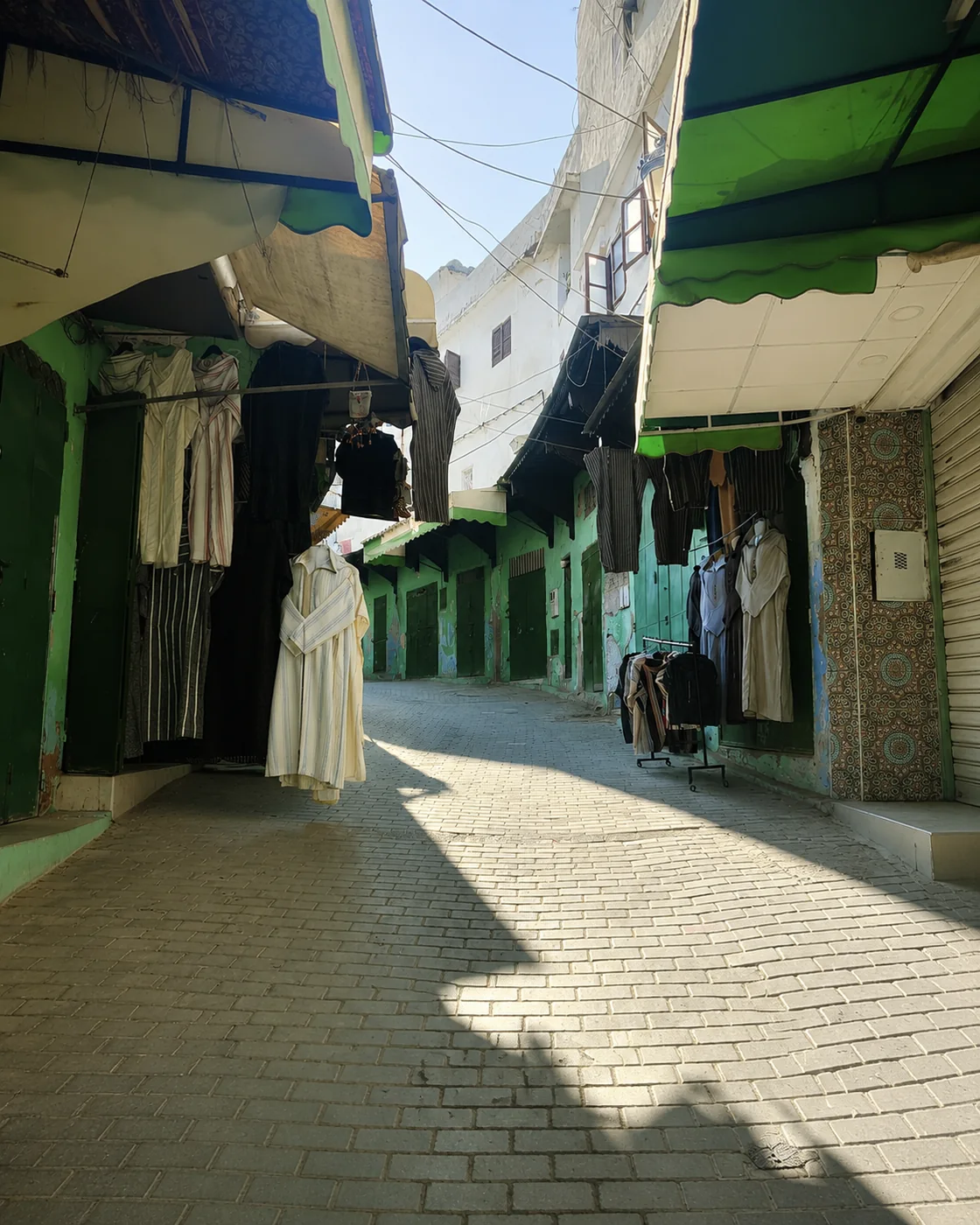 Souika lane
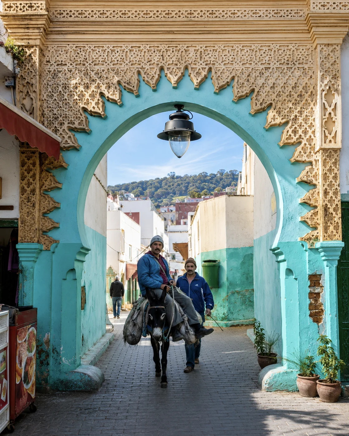 Andalusian arch
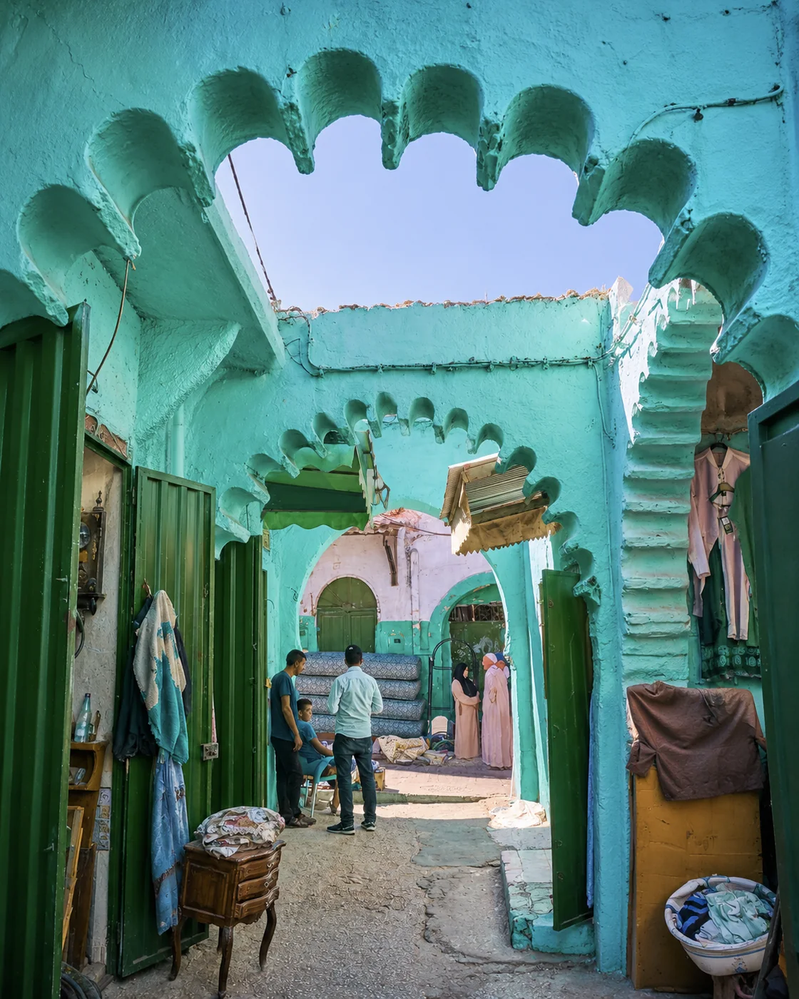 Green arcades
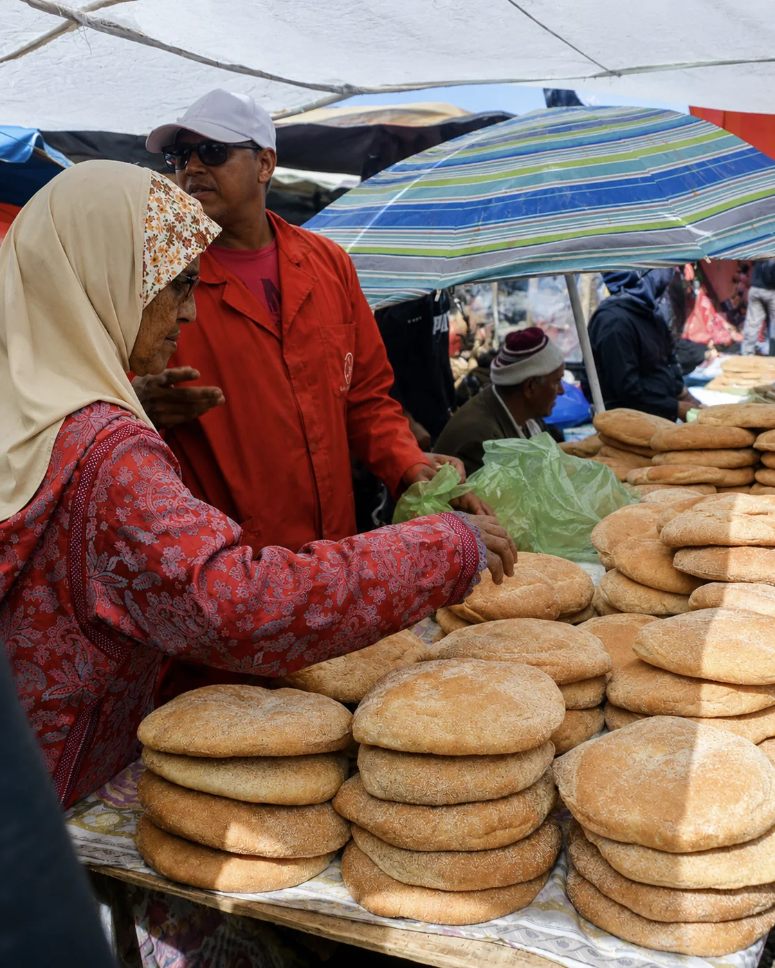 Bread market
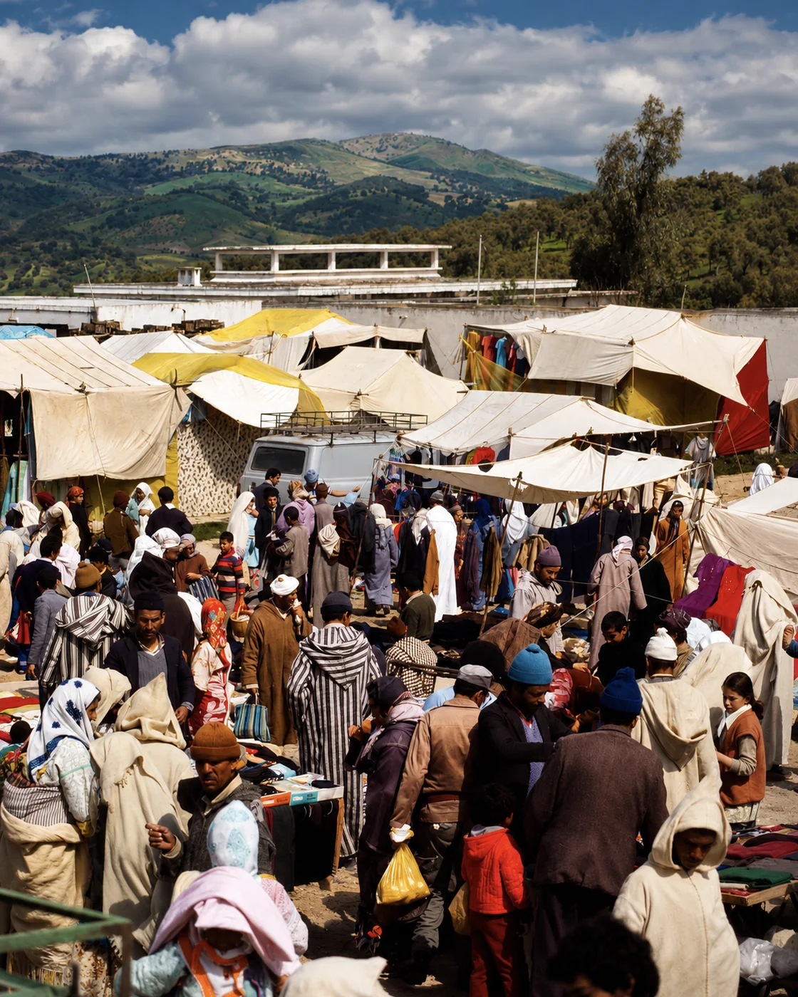 Weekly souk
Ouazzane brings spiritual calm, green hills and northern craft memory into the route.
Its medina, zawiya atmosphere, painted doors, weaving traces, olive-country setting and hillside views make a softer inland chapter after the coast and the blue mountain towns.
Let the town's present routines establish the pace. Spiritual associations do not make every courtyard or religious space open to visitors, and local explanations are more useful than assumptions based on painted doors. A craft or market encounter can bring another dimension to the stop. Ask about the particular object and who made it. The surrounding hills also help position Ouazzane as an inland town with its own connections, rather than an extension of the coastal medinas.
Taza anchors the inland route with fortress scale, highland air and cave-country drama.
The old medina, ramparts, mountain edges, gates and nearby Friouato cave landscape turn Taza into a threshold between northern Morocco, the Middle Atlas and eastern routes.
Taza is valuable as a change of geography. The relationship between elevated old streets, routes across the interior and surrounding mountain country becomes clear when you compare a city walk with a broader map. Cave or mountain excursions need separate preparation and current access information. A named natural feature is not a promise that it can be entered casually. Keep the town itself in the plan, so the stop contributes urban history as well as a gateway to scenery.
Mountain gate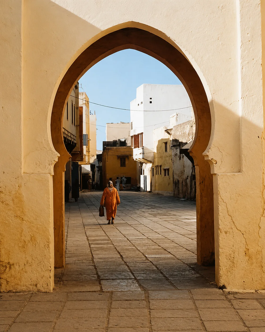 Old gate
 Historic interior
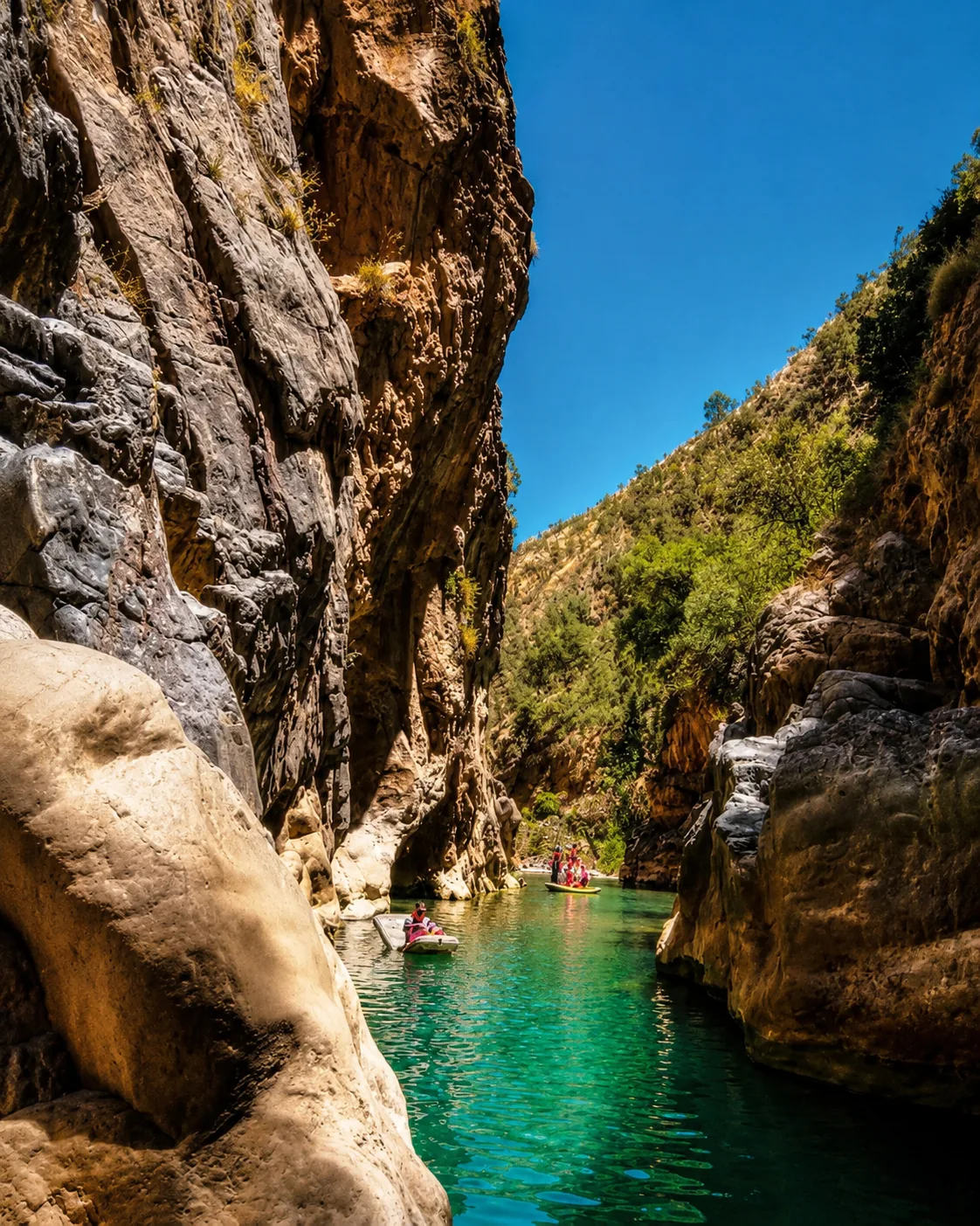 River gorge
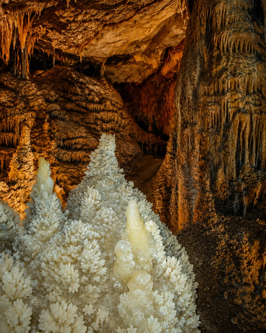 Cave chamber
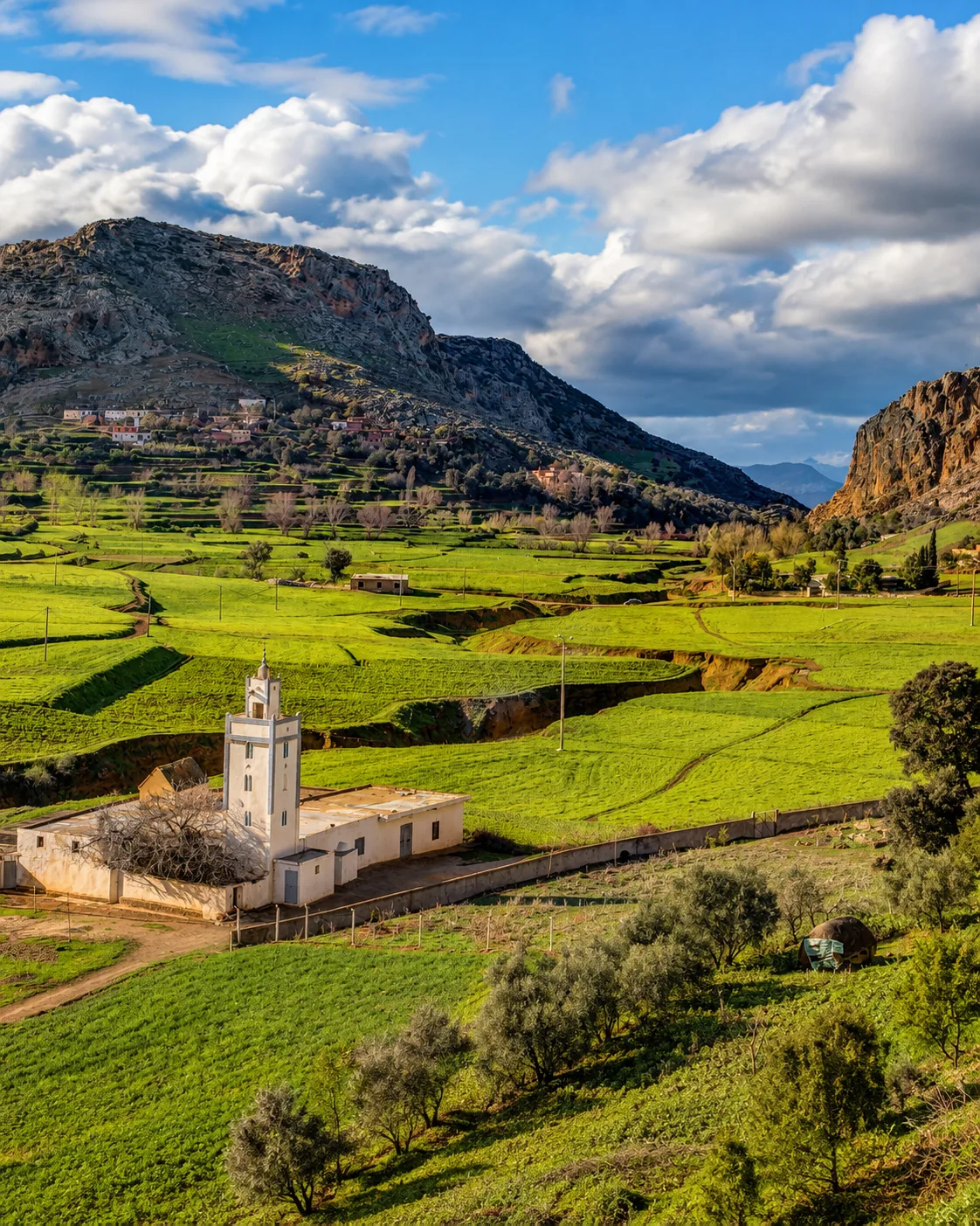 Hill landscape
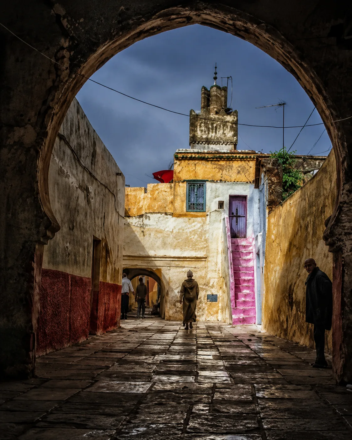 Stone passageAl Hoceima coast
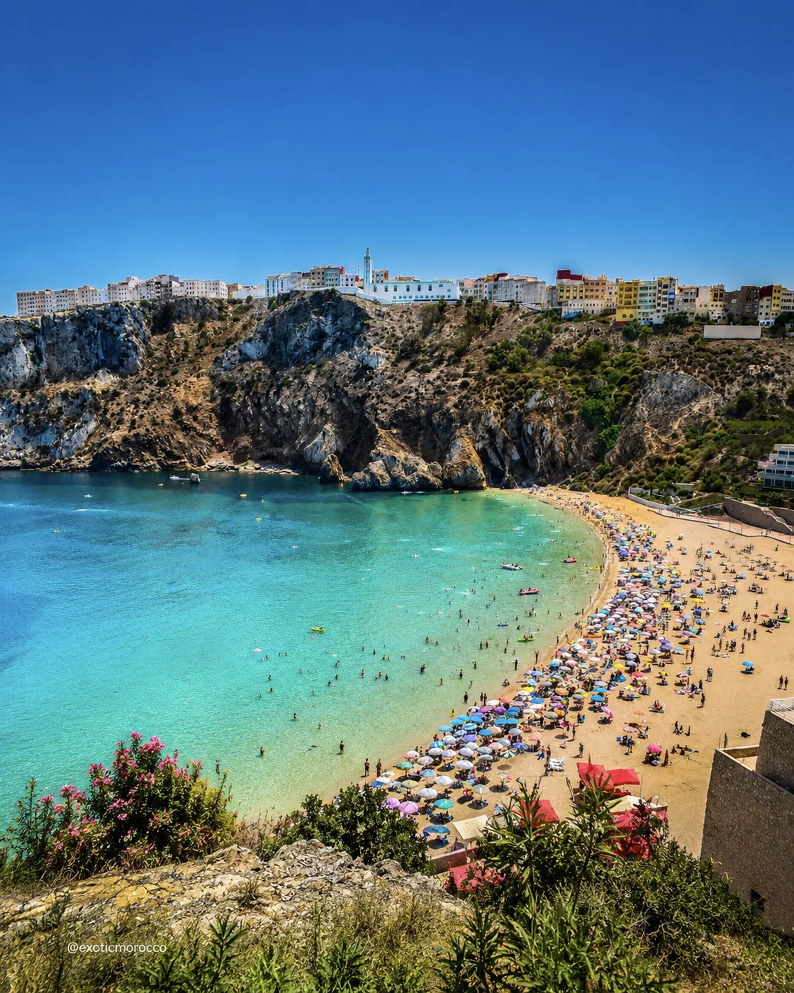 Quemado Beach
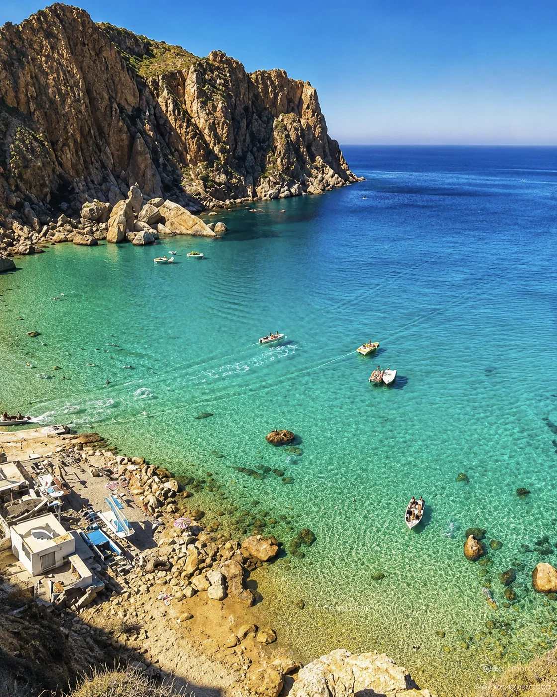 Turquoise cove
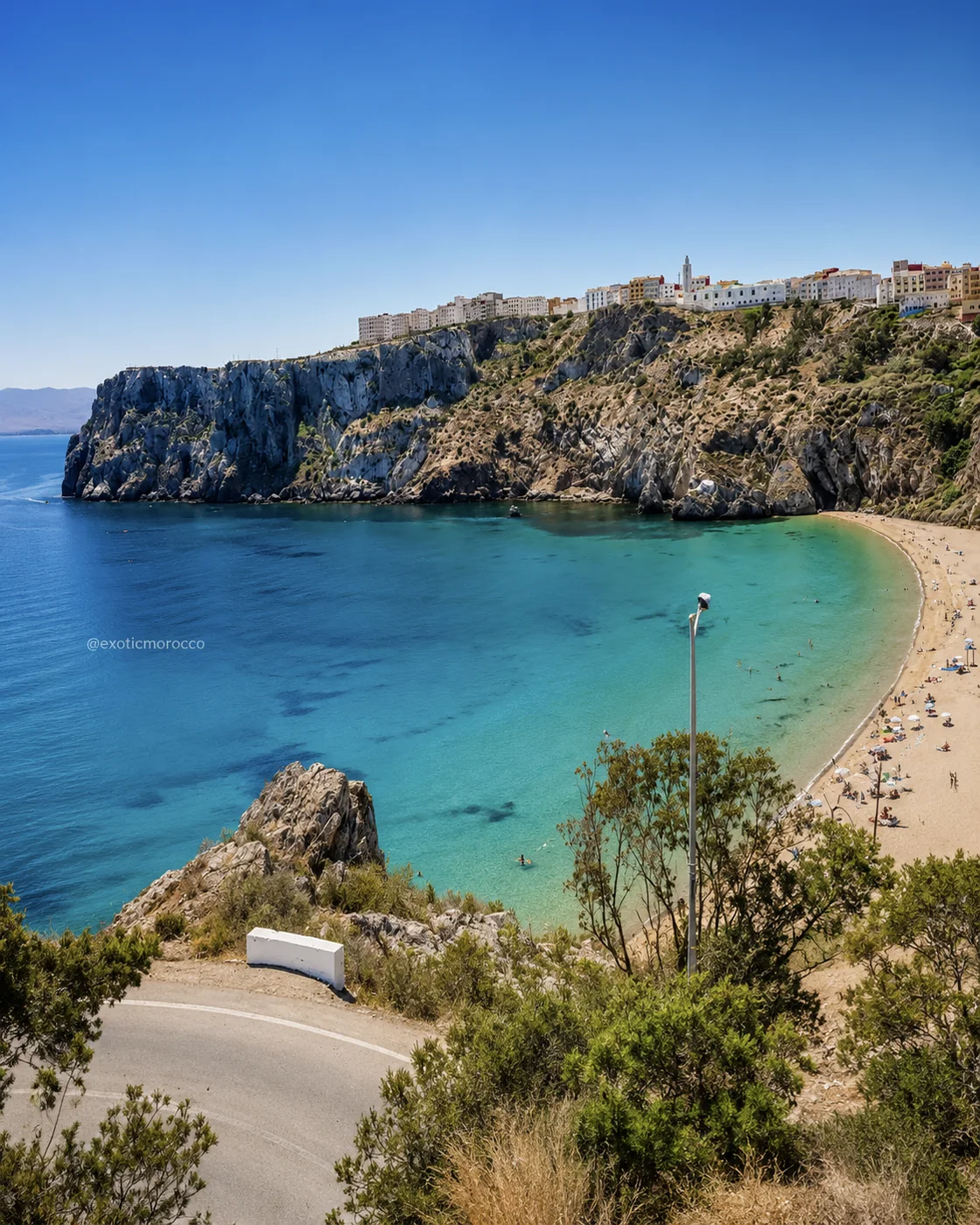 Cala Bonita
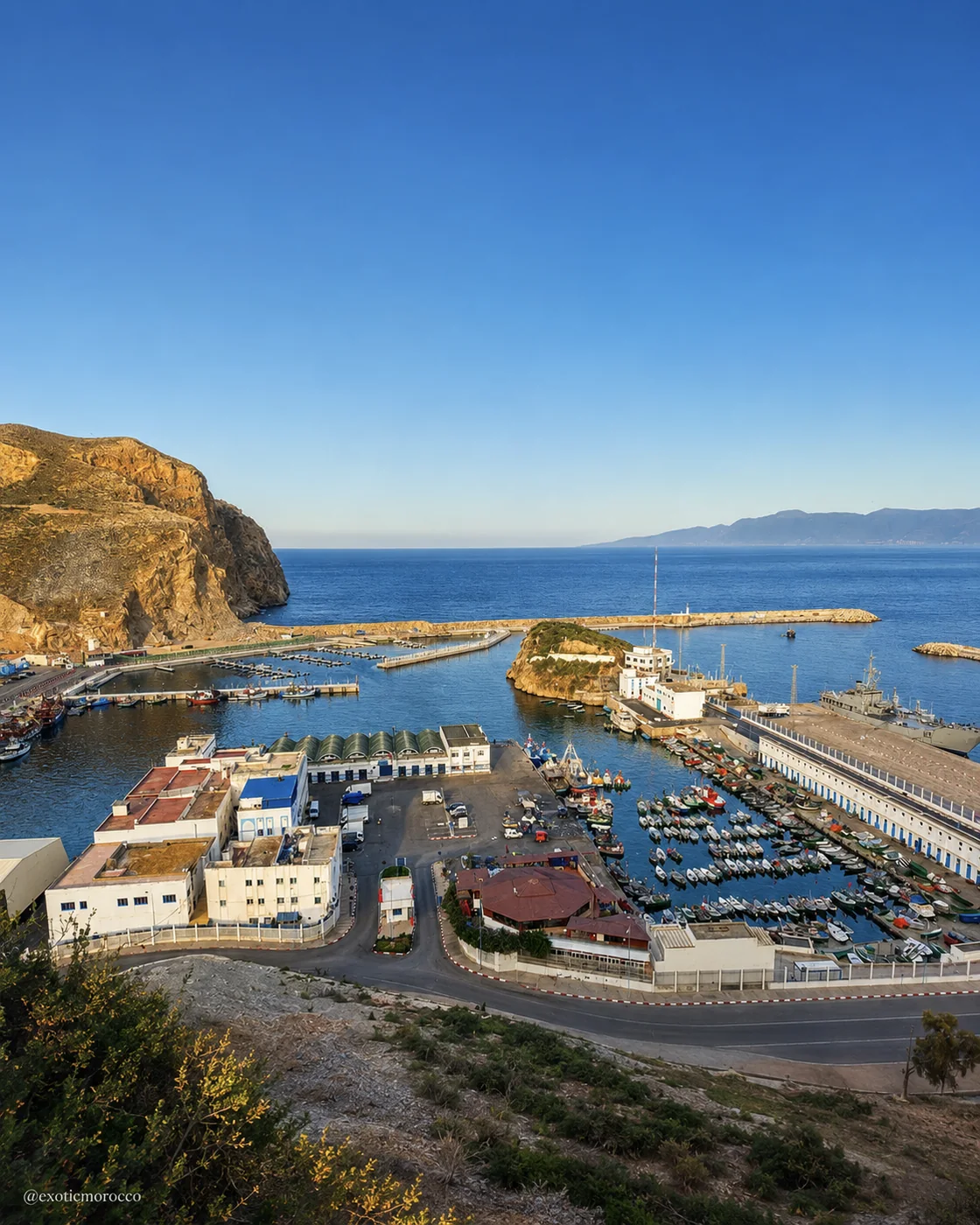 Port
Port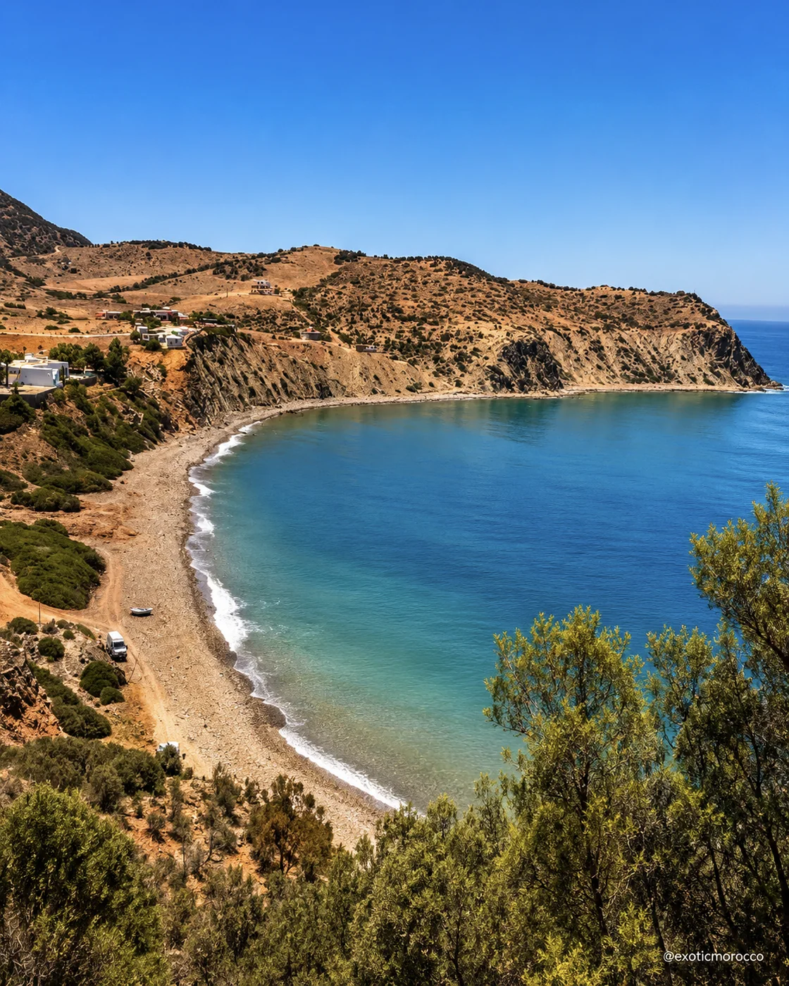 Cala Iris
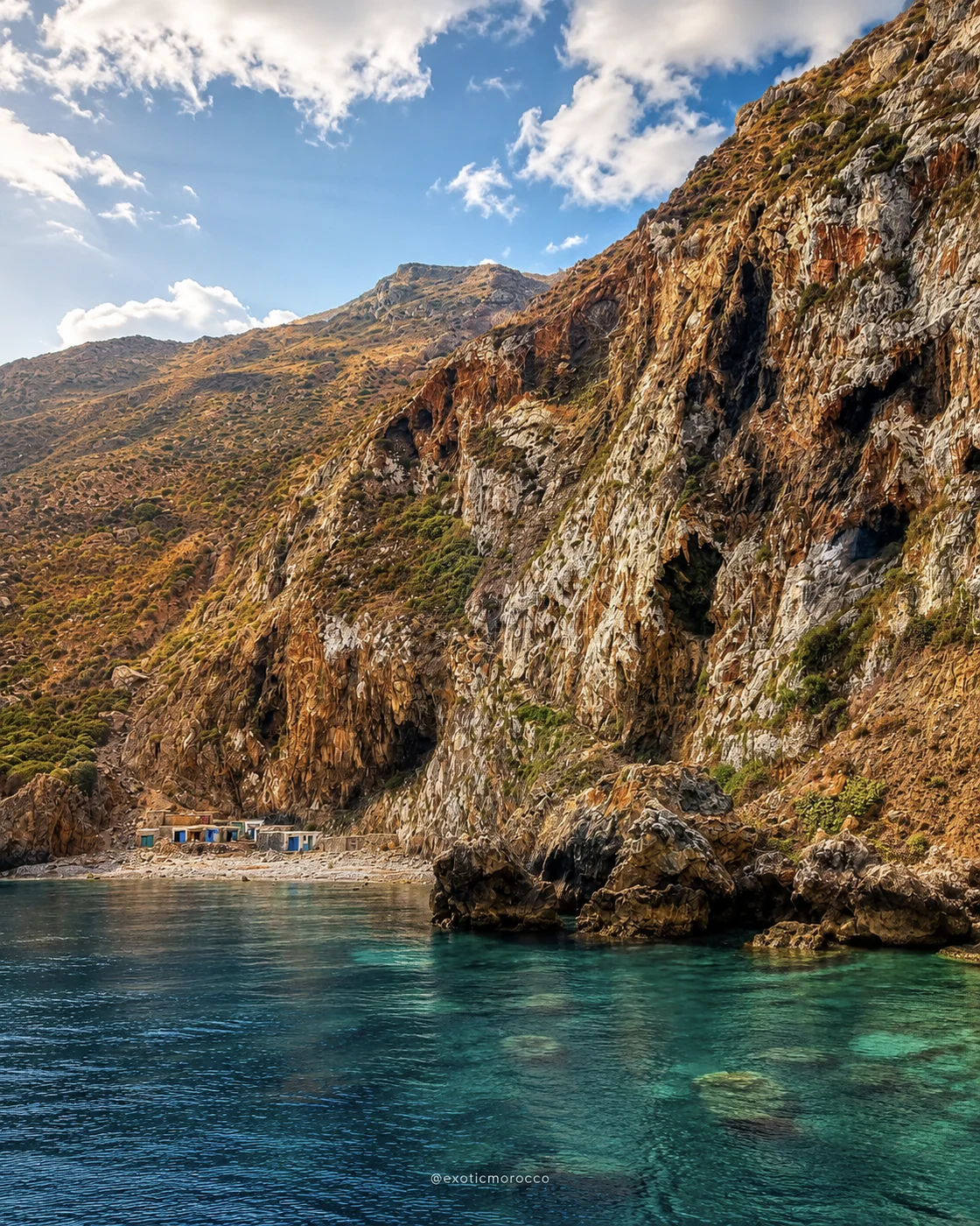 Rif cliffs
Al Hoceima closes the route with bright bays, rocky cliffs and Mediterranean Rif openness.
Quemado, Cala Bonita, the port, Badis, cliff roads and the surrounding coast bring turquoise water, rocky coves, dry mountain horizons and a broad sea-facing finish.
The meeting of Rif relief and Mediterranean water shapes distances and viewpoints. A nearby cove on a map may involve a winding approach, while a beach and an exposed cliff ask for different conditions. Give the harbour, town and coast distinct attention. A protected landscape should be explored through current local access guidance, and fishing activity should be observed without obstructing work. A slower coastal day can reveal more than an attempt to collect every named bay.
These details add texture to the route: sea viewpoints, craft, waterfalls, ancient ruins, medina doors, caves, cliffs and mountain memory.
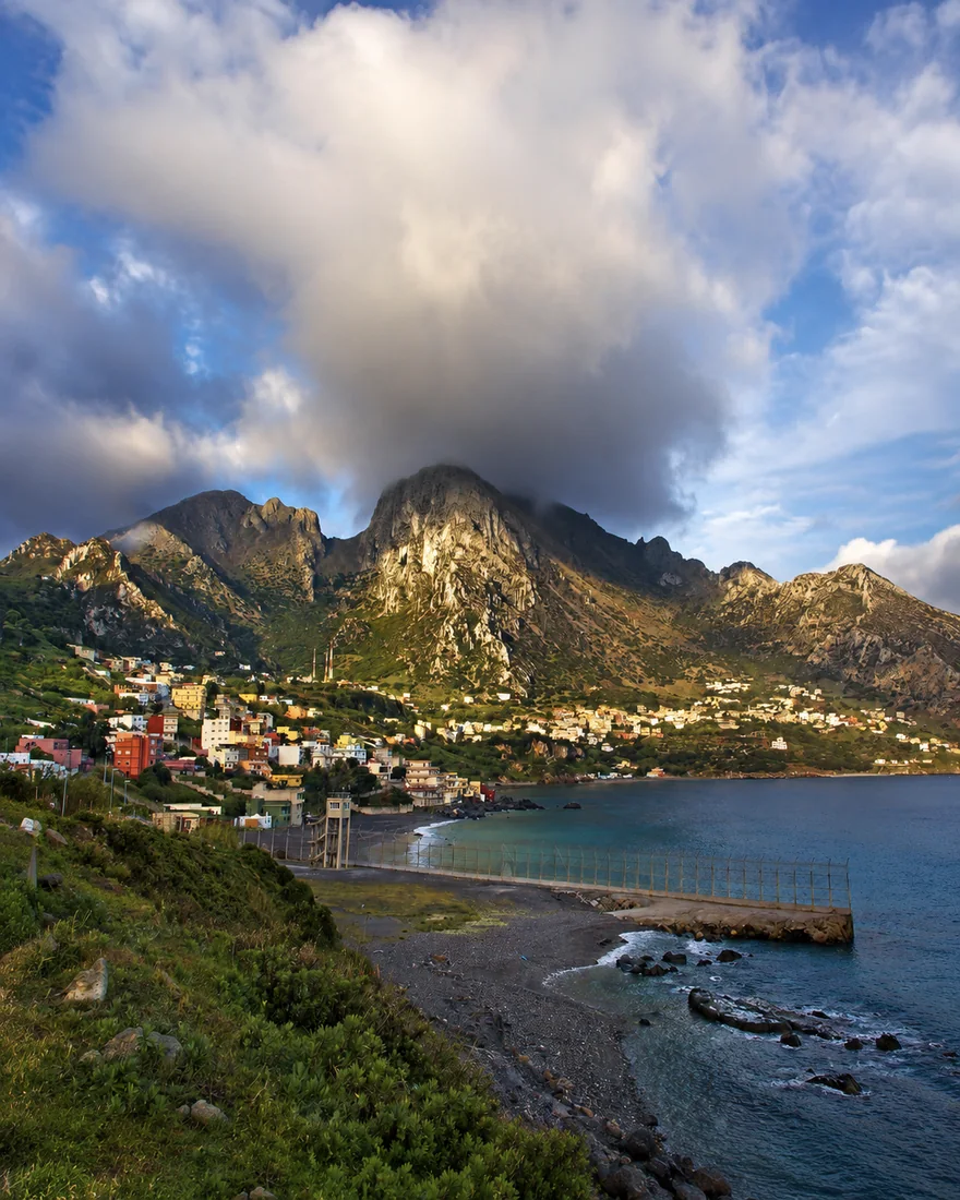 Jbel Musa & Belyounech
 Blue-and-white seafront
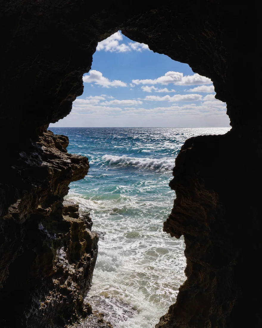 Caves of Hercules
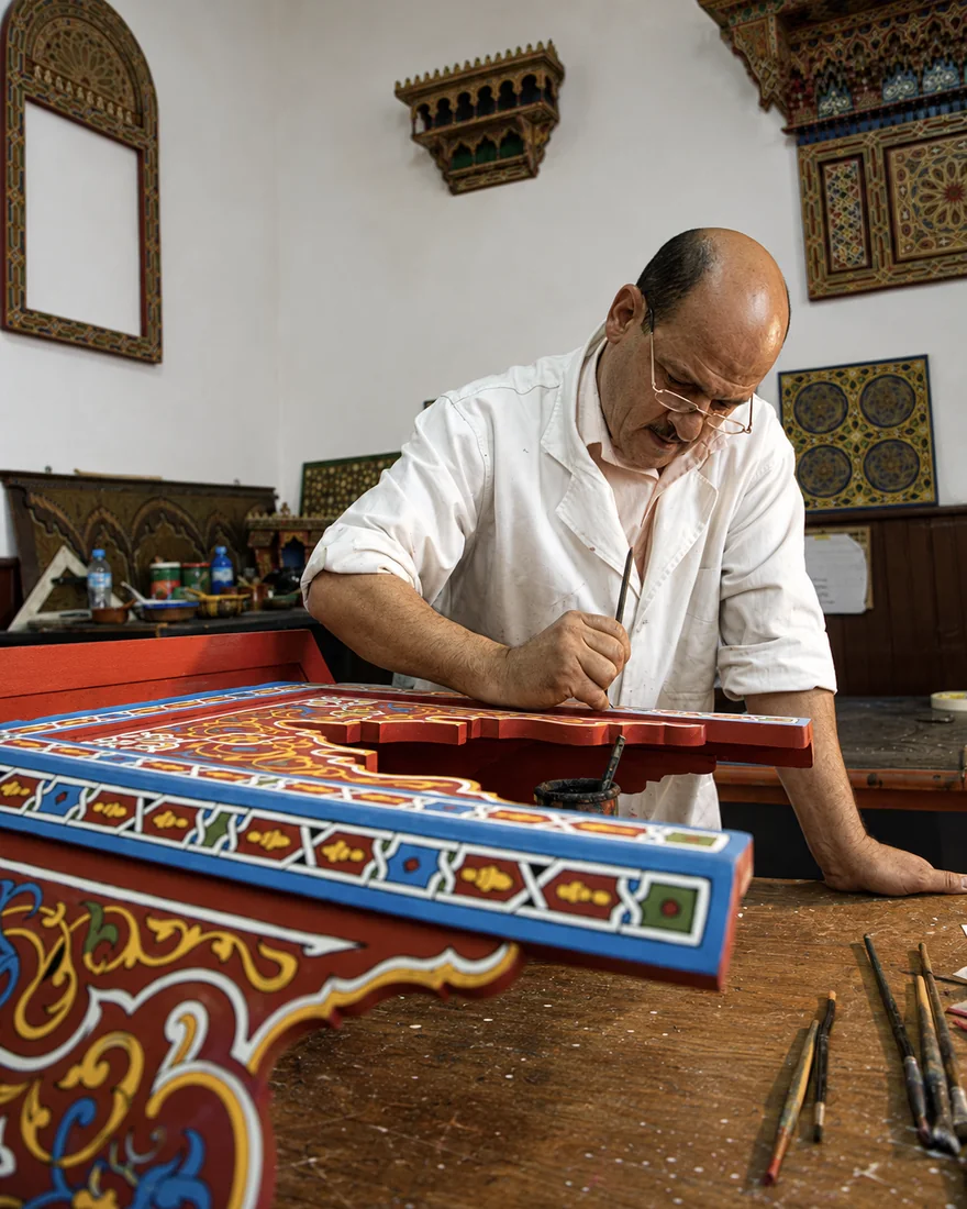 Tétouan craft
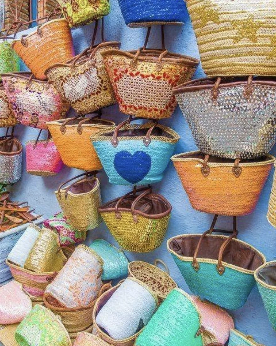 Rif textiles
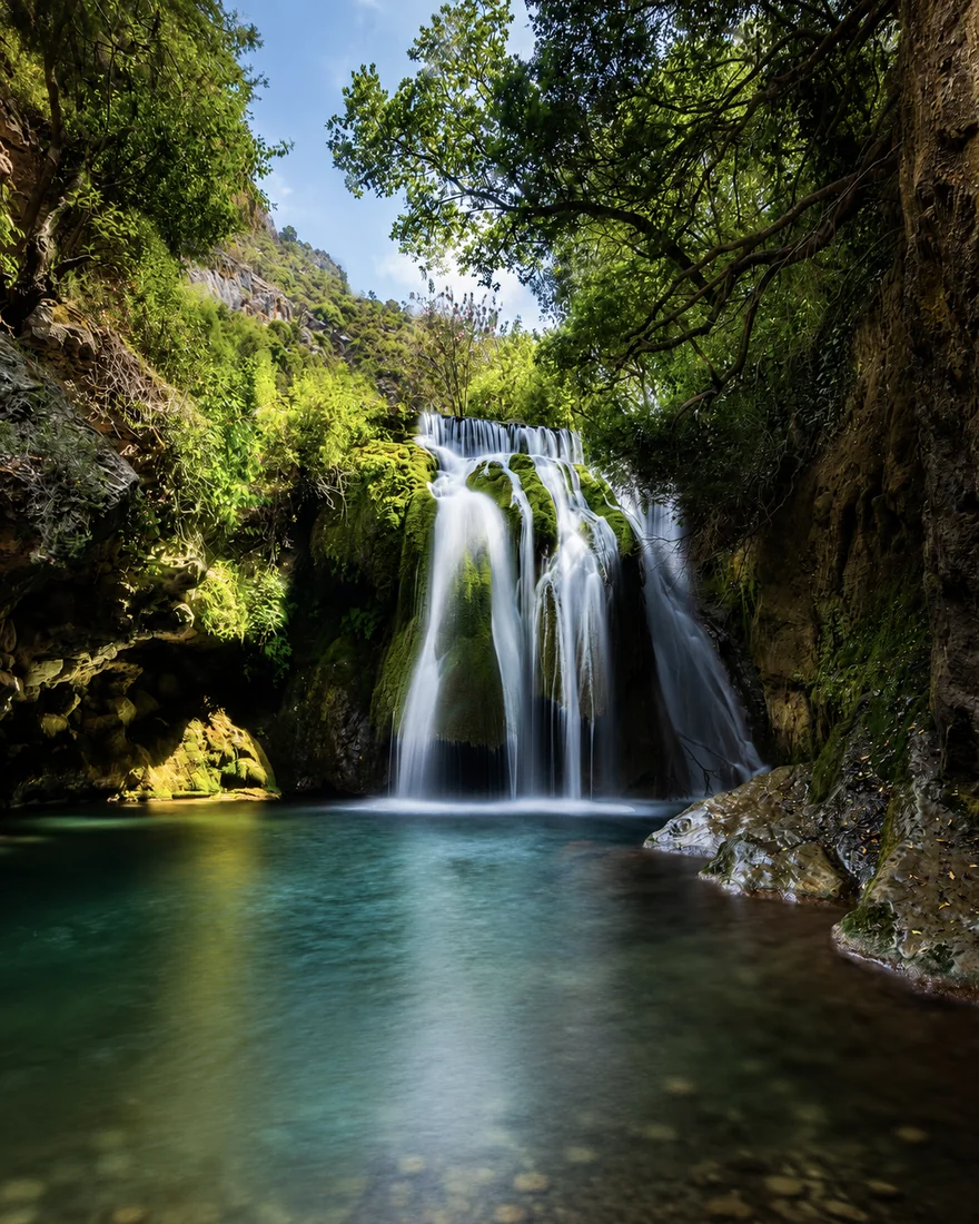 Akchour waterfall
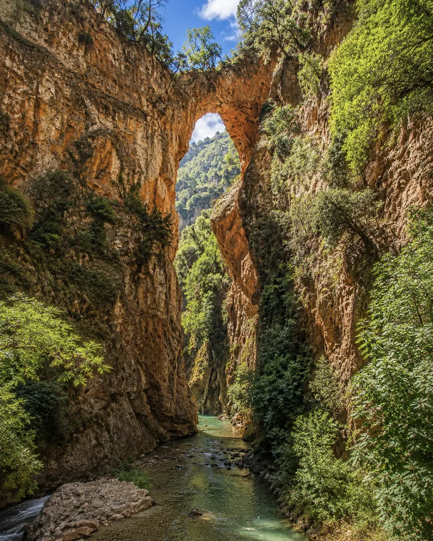 God’s Bridge
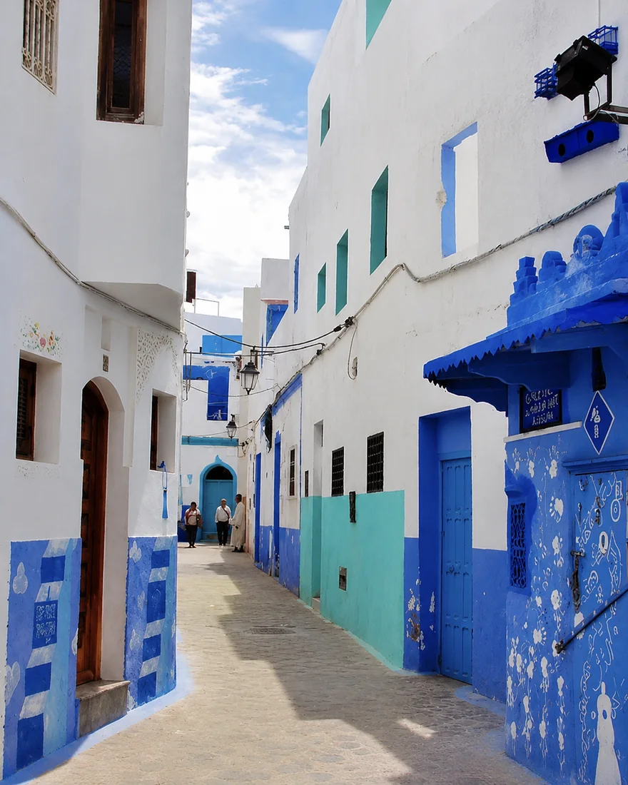 Asilah medina door
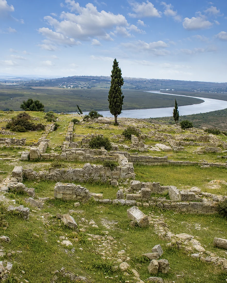 Lixus ruins
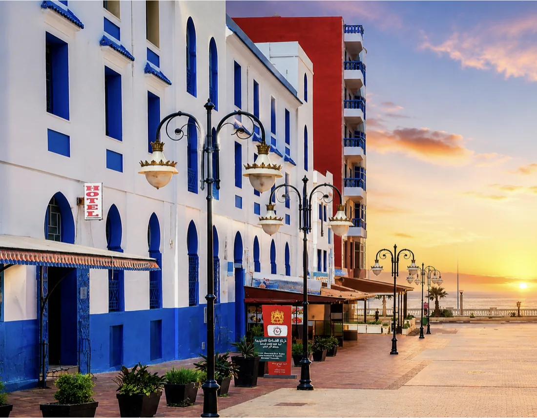 Larache Atlantic balcony
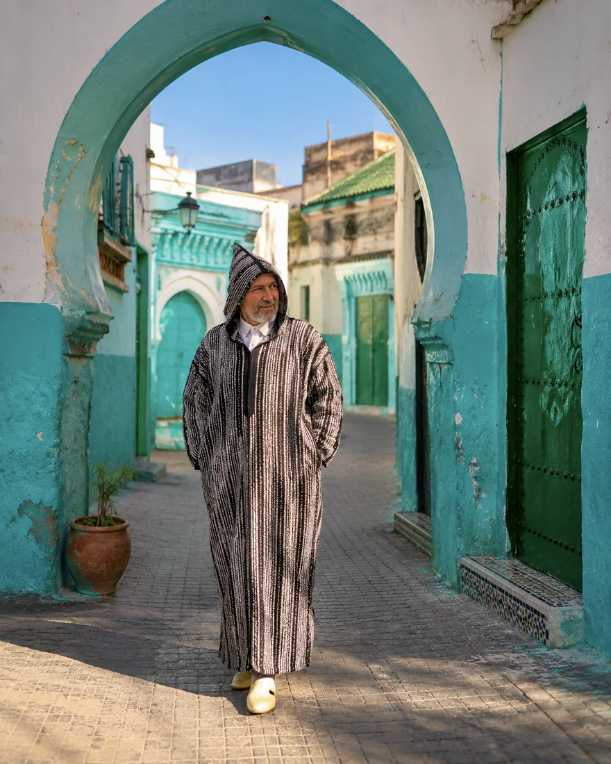 Ouazzane weaving
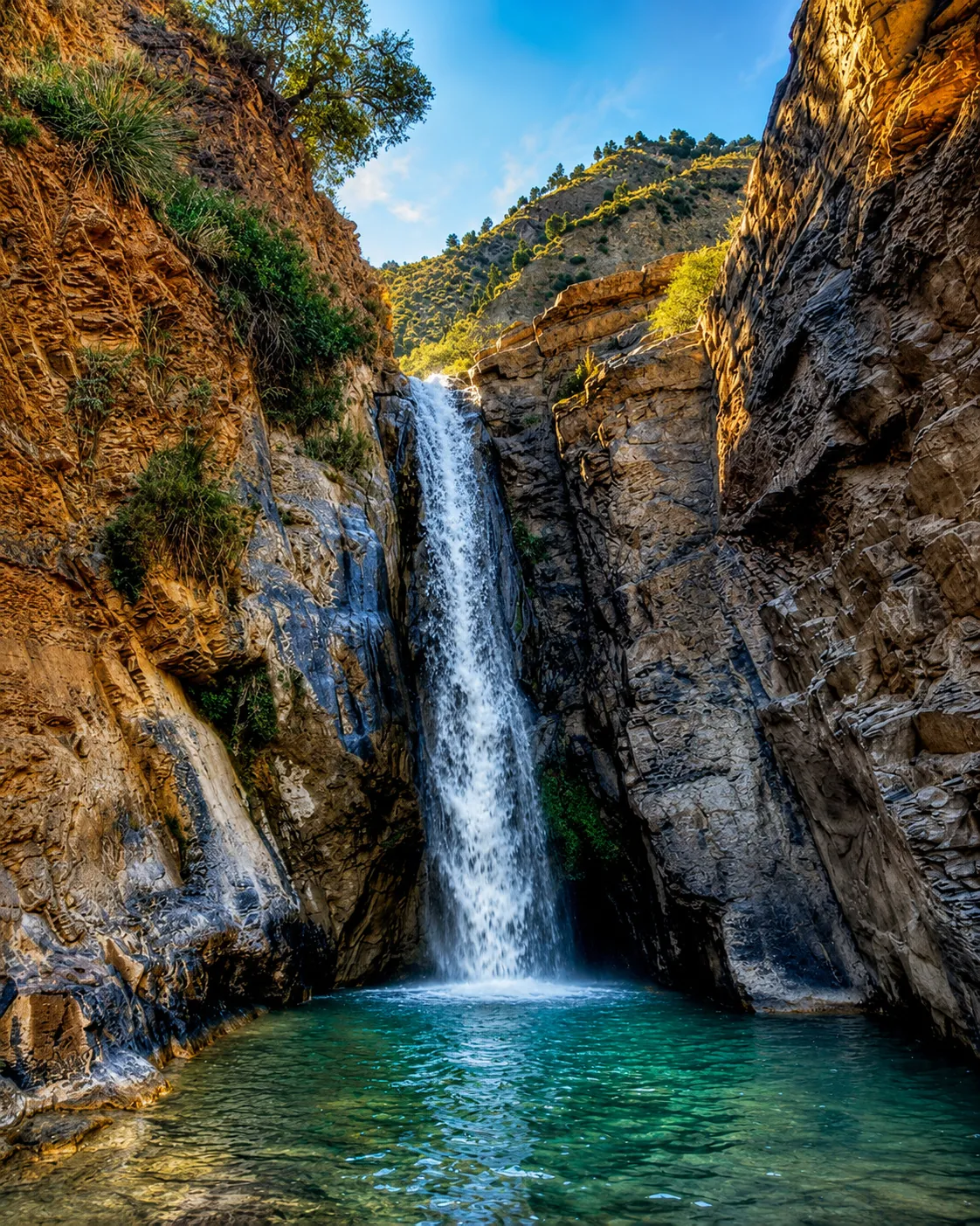 Waterfall pool
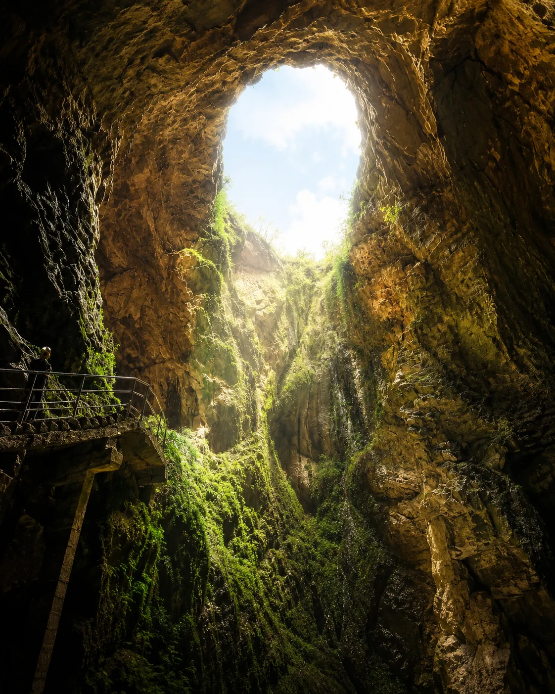 Cave opening
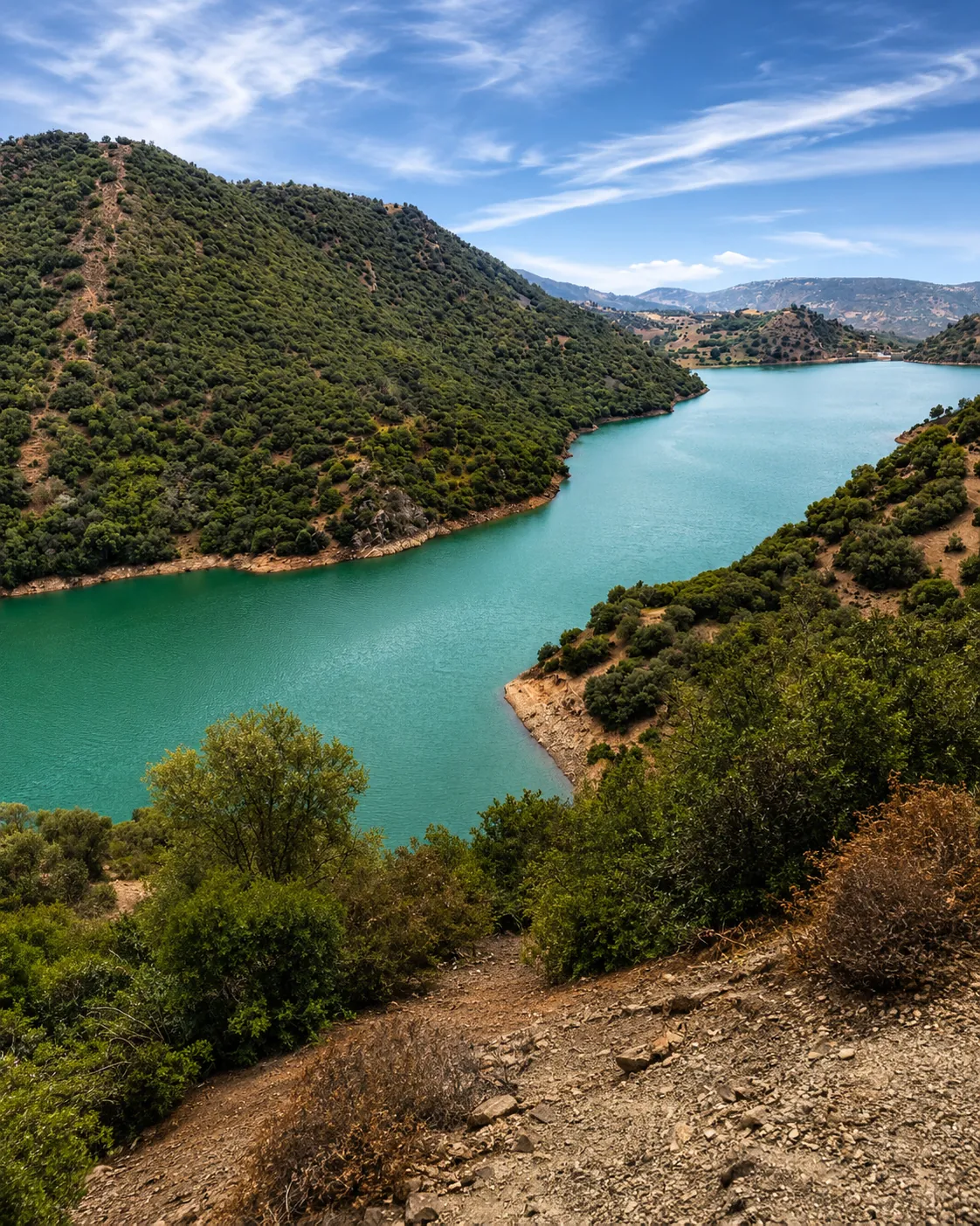 Mountain lake
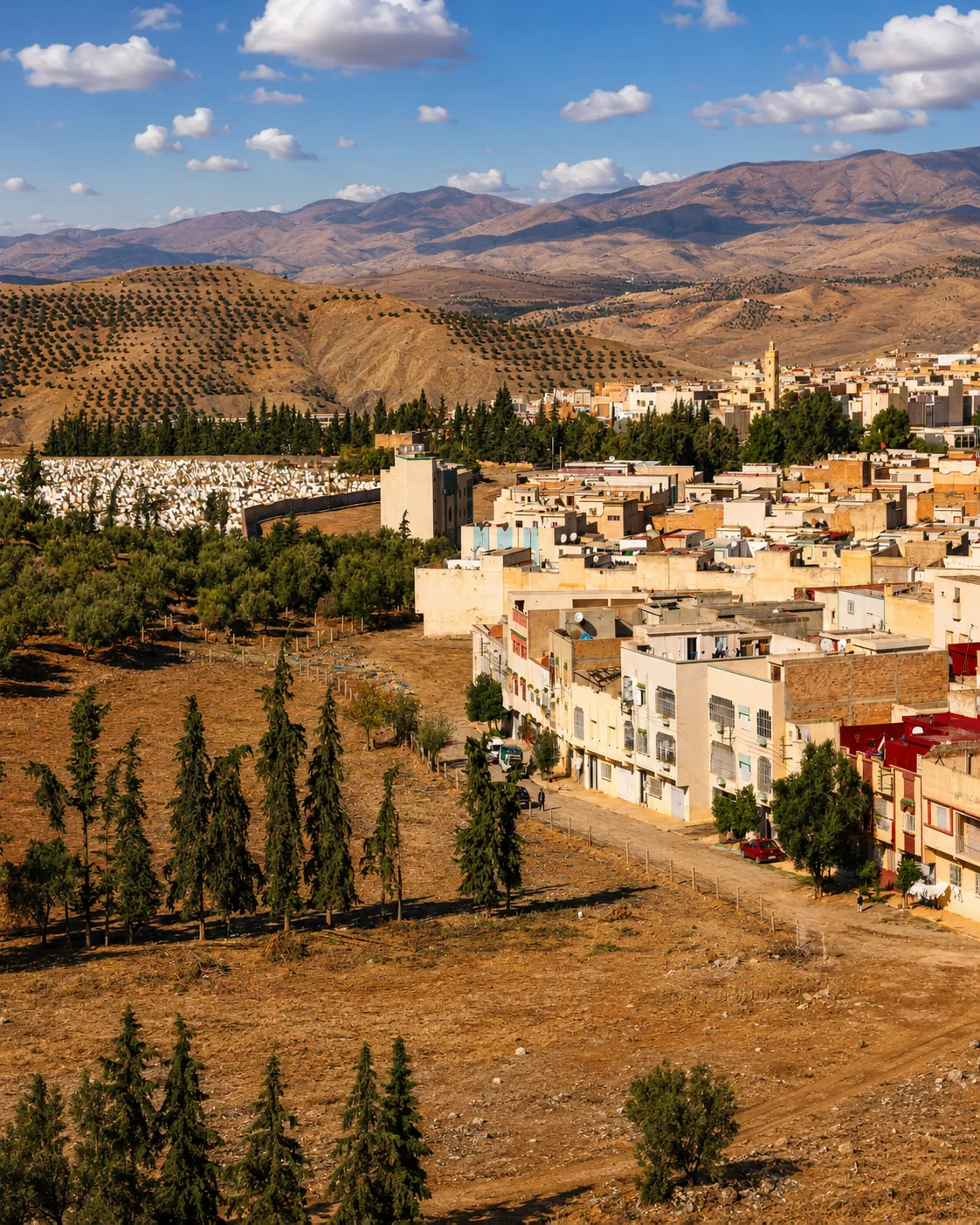 Hillside town
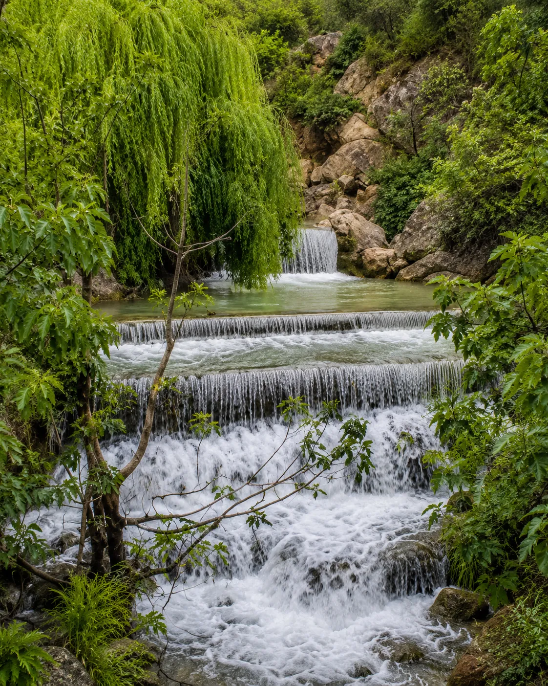 Garden cascades
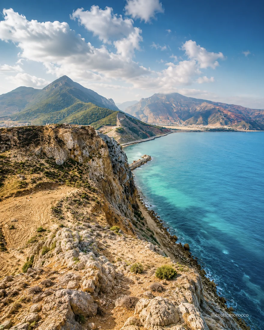 Al Hoceima cliffs
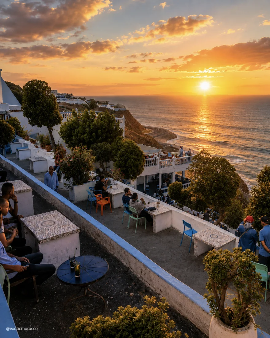 Café Hafa
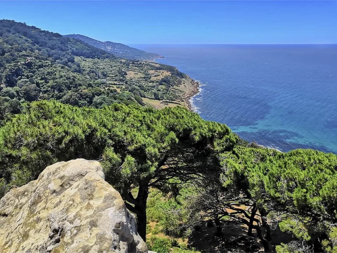 Rmilat coast
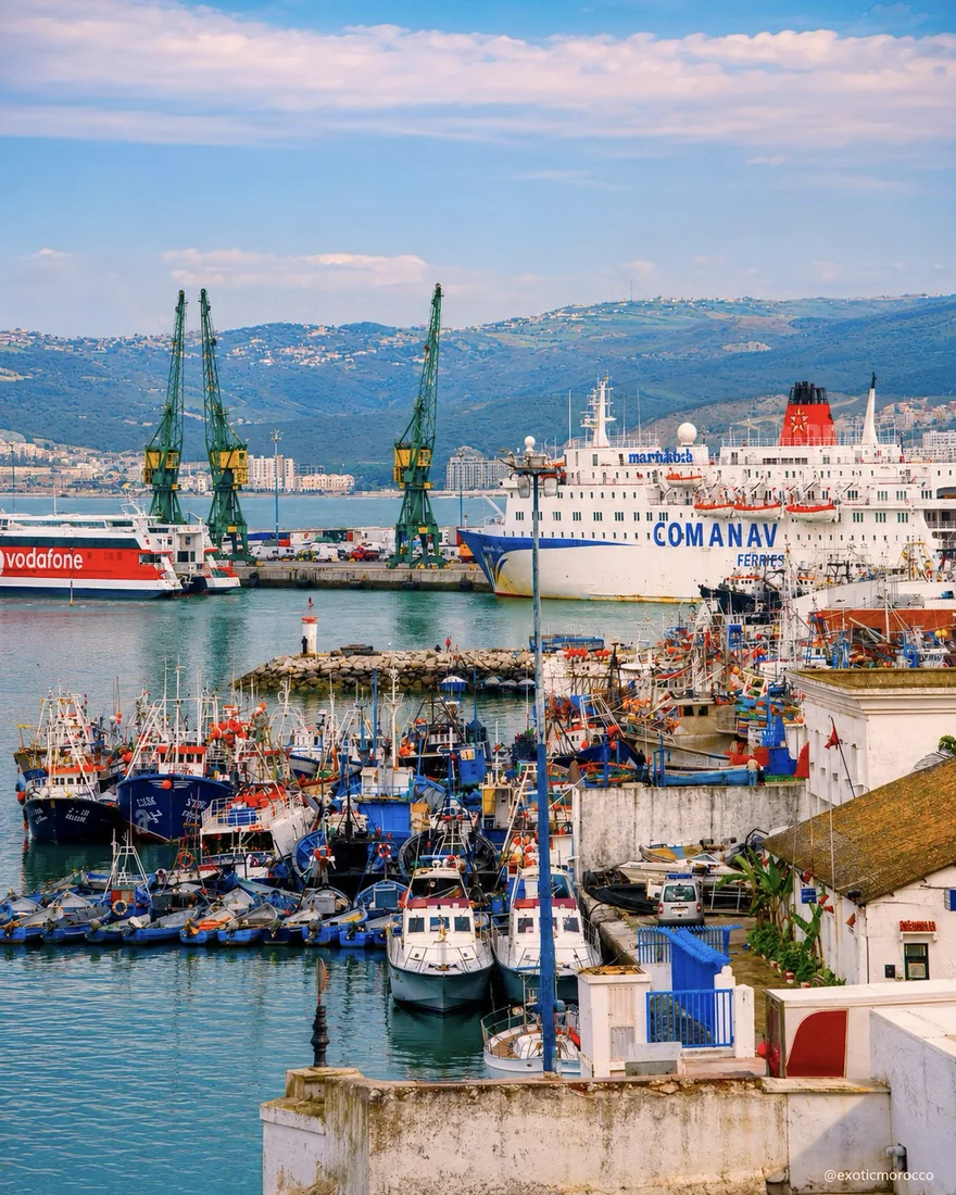 Port view
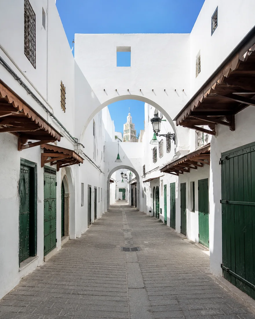 Medina lane
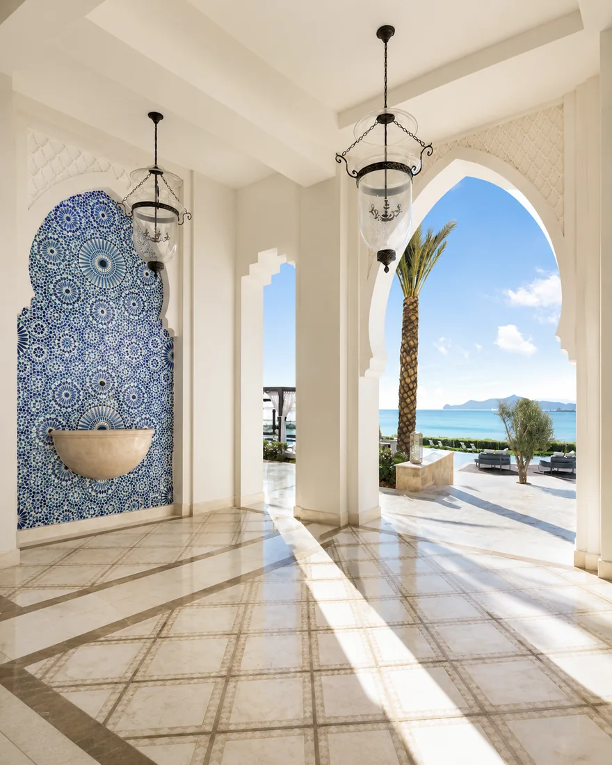 Coastal arch
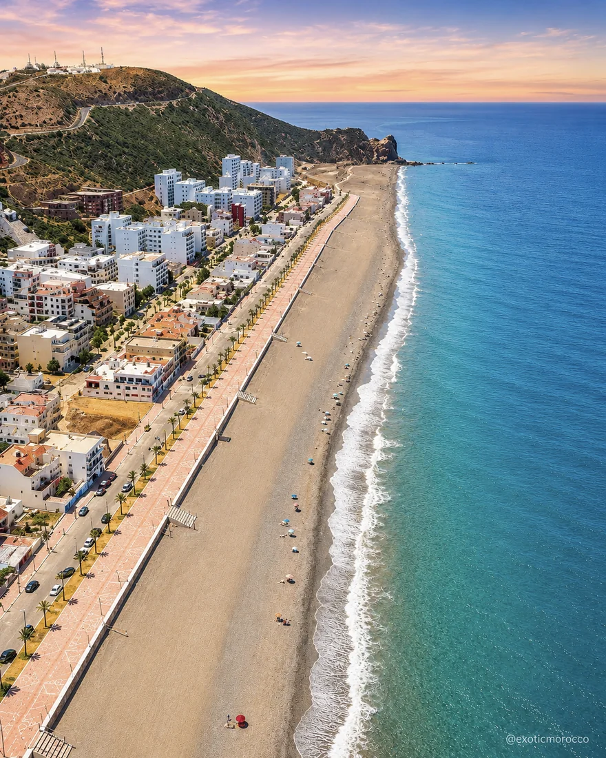 Tamuda Bay
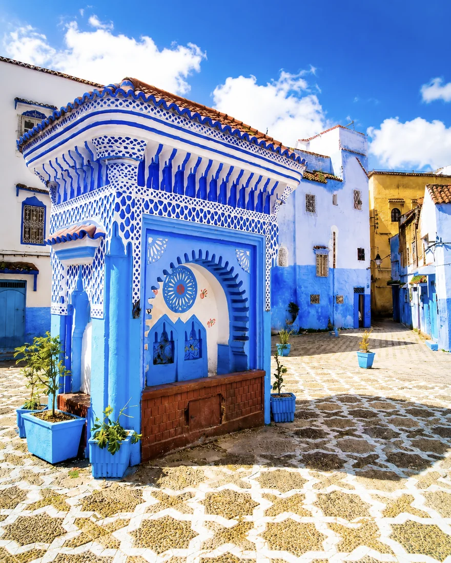 Place El Haouta
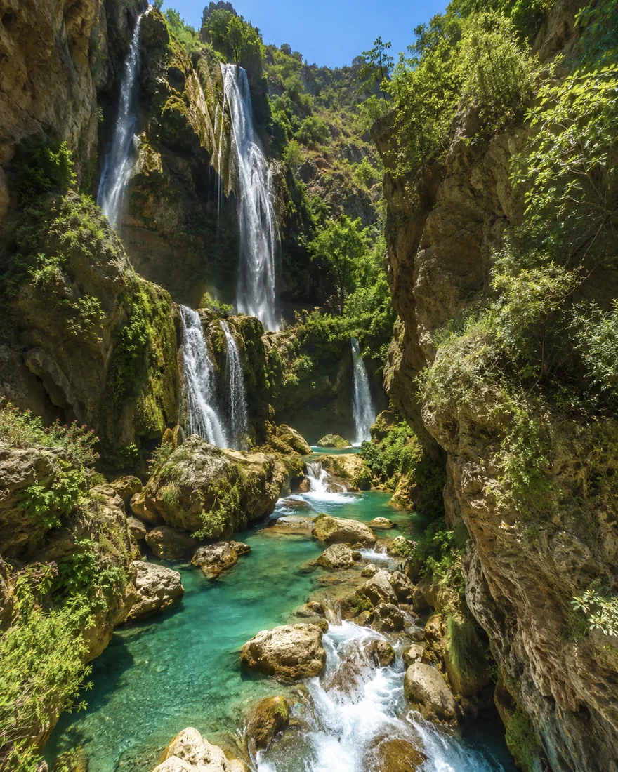 Akchour waterfall
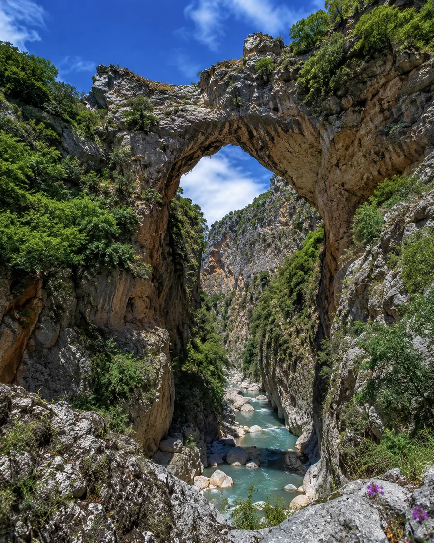 God’s Bridge
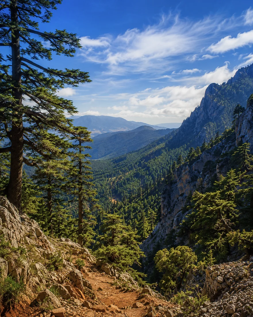 Talassemtane
White medina walls, blue lanes, Atlantic thresholds, hillside towns and Mediterranean cliff edges create the visual grammar of Northern Morocco and the Rif.
From Tétouan’s white passages to Chefchaouen’s blue wash, Asilah’s ocean walls and Al Hoceima’s coastal light, the region changes mood without losing coherence.
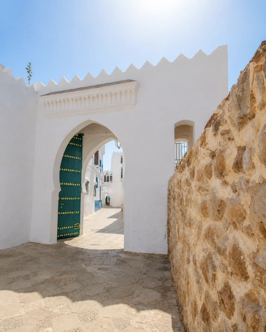
Tétouan and Asilah use white walls, green doors and quiet passages to create northern calm.
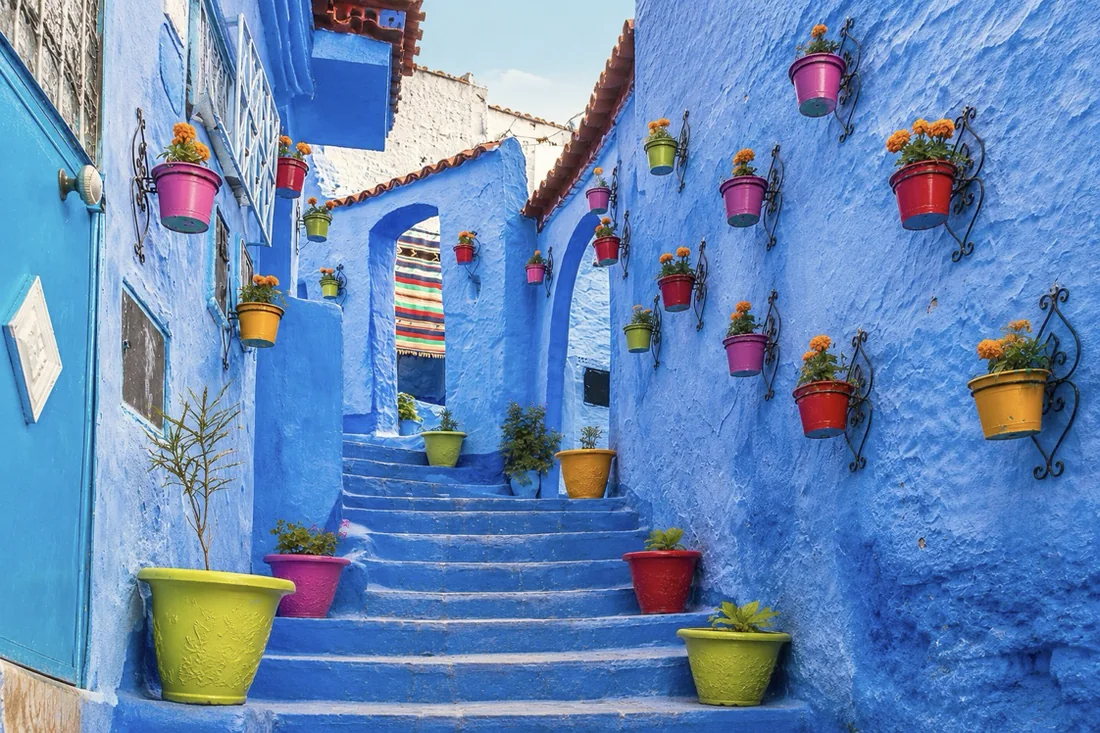
Chefchaouen’s blue wash, steps and plants create the region’s most recognisable visual rhythm.
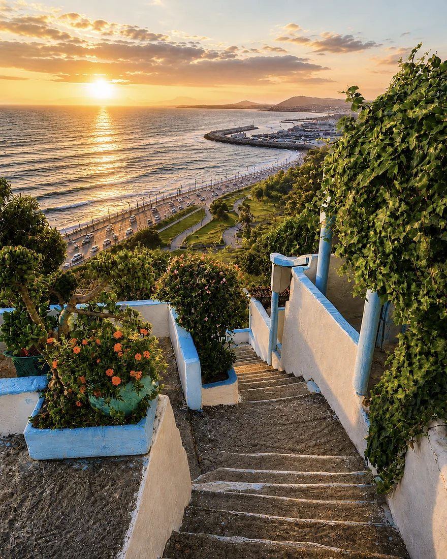
Tangier, Asilah and Larache frame the sea through terraces, ramparts and Atlantic viewpoints.
Al Hoceima and the Rif coast add cliffs, coves and Mediterranean light.
The route can be shortened or reversed, but the visual logic remains clear: Strait water, medina depth, Rif relief, Atlantic memory, inland shrine and mountain landscapes, then a Mediterranean finish.
Al HoceimaMediterranean Rif coastTétouanAndalusian white cityTangierStrait gatewayChefchaouenBlue Rif medinaA few considered choices make the connections between these places more useful.
A compact northern visit can connect Tangier and Tétouan with one nearby landscape. Another can follow Asilah and Larache along the Atlantic. A longer Rif journey asks for different road time and local planning. These alternatives avoid unnecessary backtracking between distant points in the collection. Start with the experience you want, then select a coherent cluster rather than reading every card as a mandatory stop.
The image of an endlessly blue town does not describe every day's conditions. Rain, heat, wind and mountain exposure can change the comfort and feasibility of a walk. Check forecasts for the actual place and elevation, and ask locally about routes after bad weather. Beach-oriented summer travel creates a different rhythm from an off-season city visit. Leave a flexible day rather than tying every mountain and sea activity to an inflexible sequence.
Northern identity includes multiple languages, urban histories and rural relationships. Do not infer a person's language or belonging from where they live or how they dress. Start with a greeting, listen to the reply and let people describe their own place. A food market, a craft conversation or a locally explained building can connect daily practice to the larger regional map without reducing the north to a single style.
Historical and geographical references reviewed in September 2026. Route pairings and looking suggestions are Exotic Morocco editorial guidance. Check current access and transport arrangements before travelling. Existing regional library imagery is retained; photographs and illustrations do not establish present-day access or conditions.
Open the northern region city by city: Tangier, Tétouan, Chefchaouen and Al Hoceima, with Asilah, Larache, Ouazzane and Taza woven into the route above.
Begin again at the Strait threshold.
Follow Atlantic walls and painted lanes.
Move from river town to ancient Lixus.
Slow down in the green sanctuary.
Return to the white Andalusian city.
Follow the blue lanes back uphill.
End with sea light and open bays.
Cross the inland mountain gate.
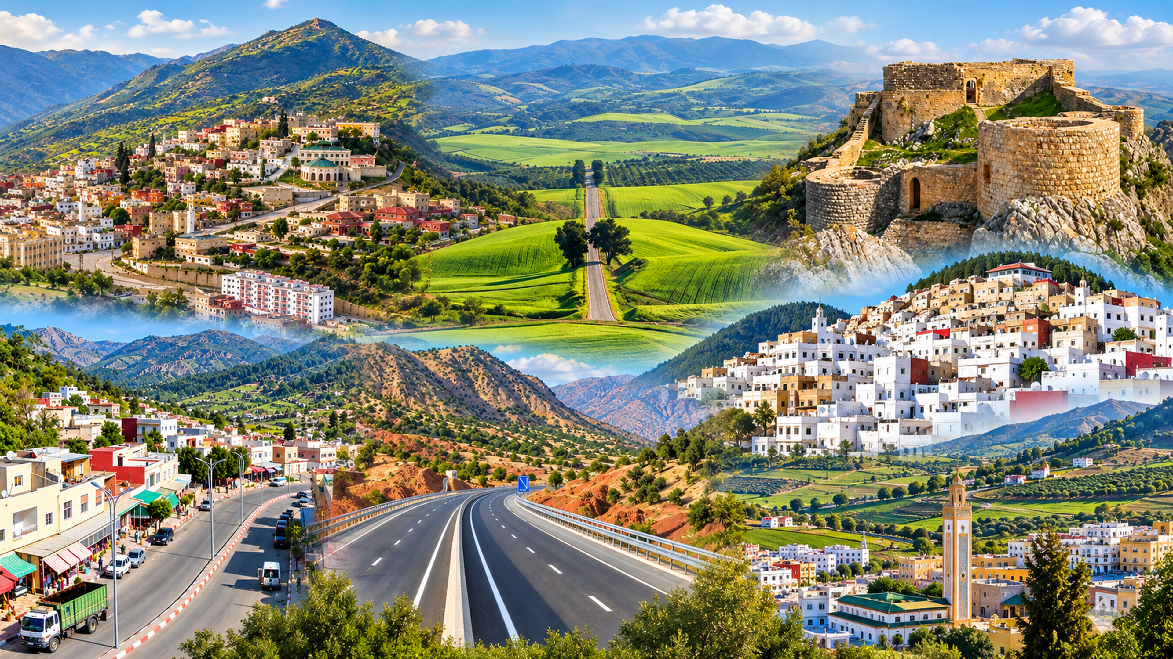
Taounate sits where northern Morocco becomes steep, green and quietly rural: a city of slopes, valley views, Jbala memory, fig and olive country, and routes toward rivers, reservoirs and mountain villages. It is not a city of grand spectacle. Its value is in orientation, landscape and local rhythm.