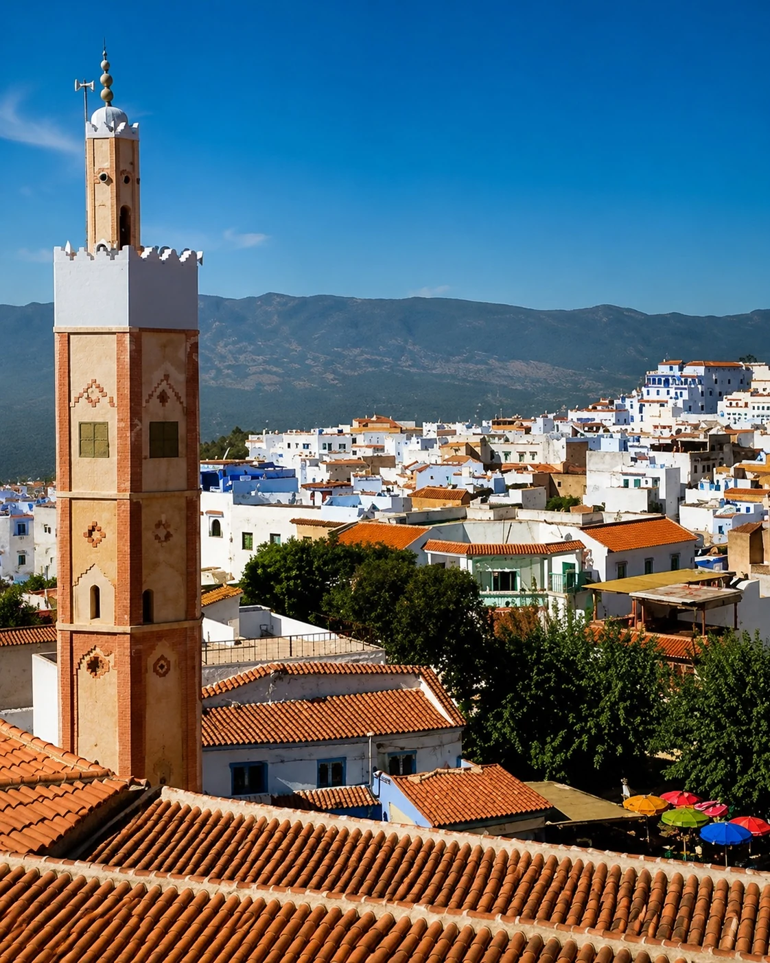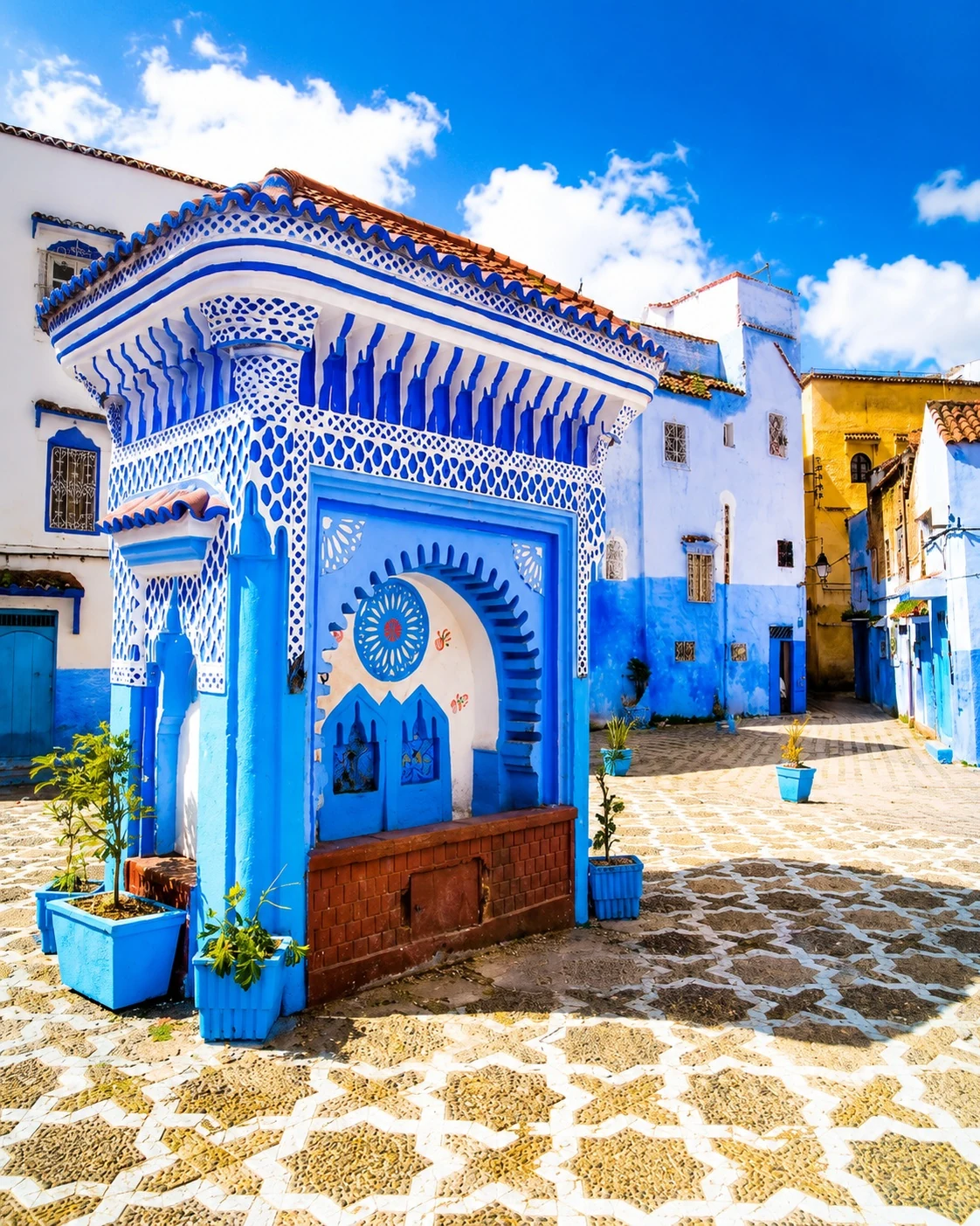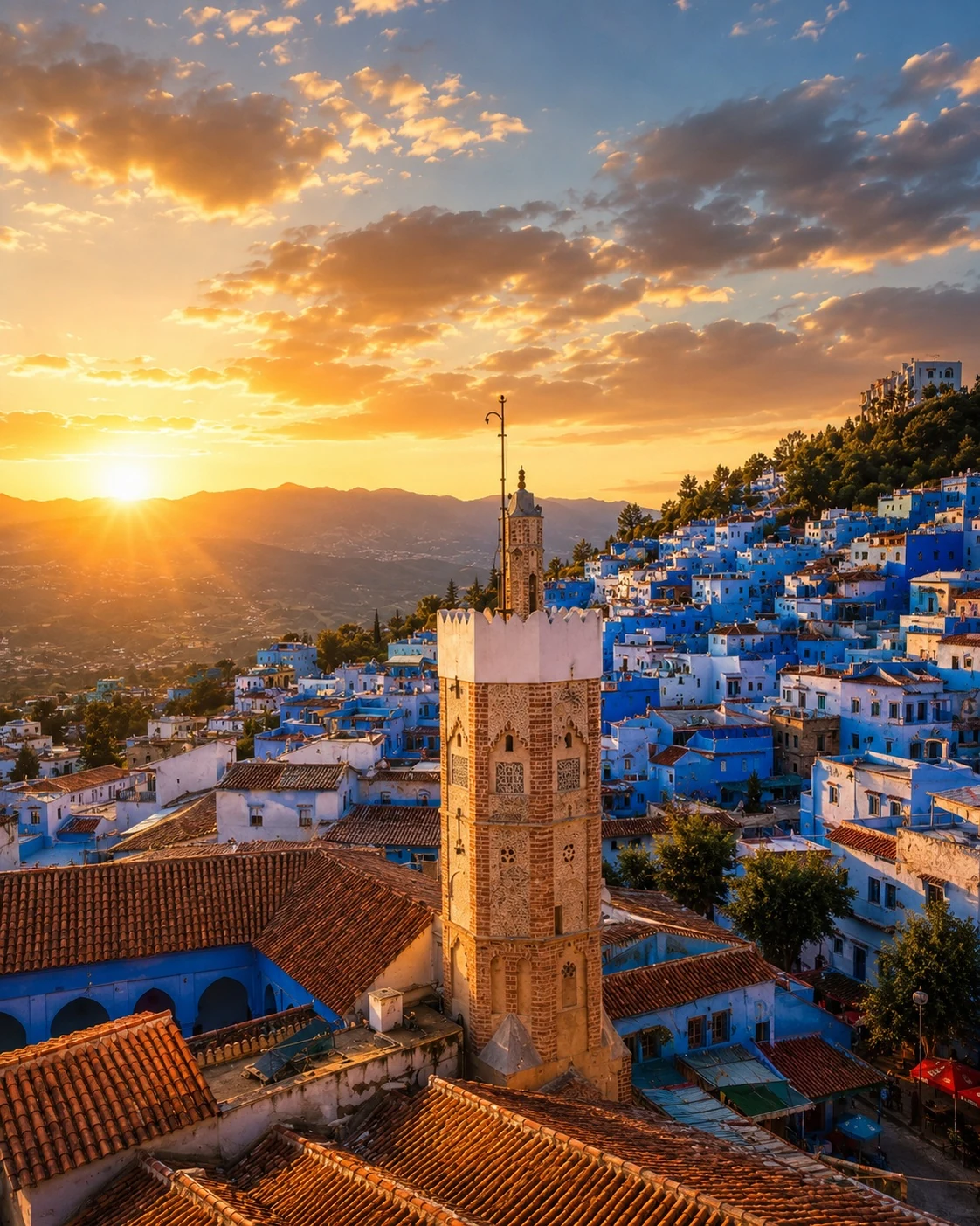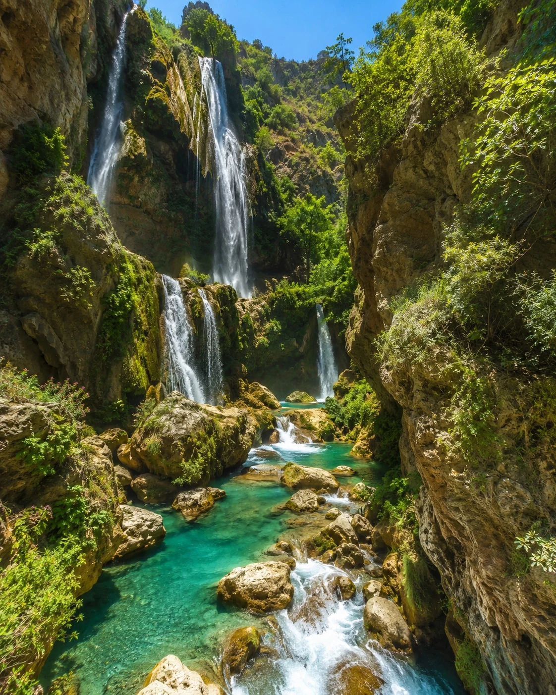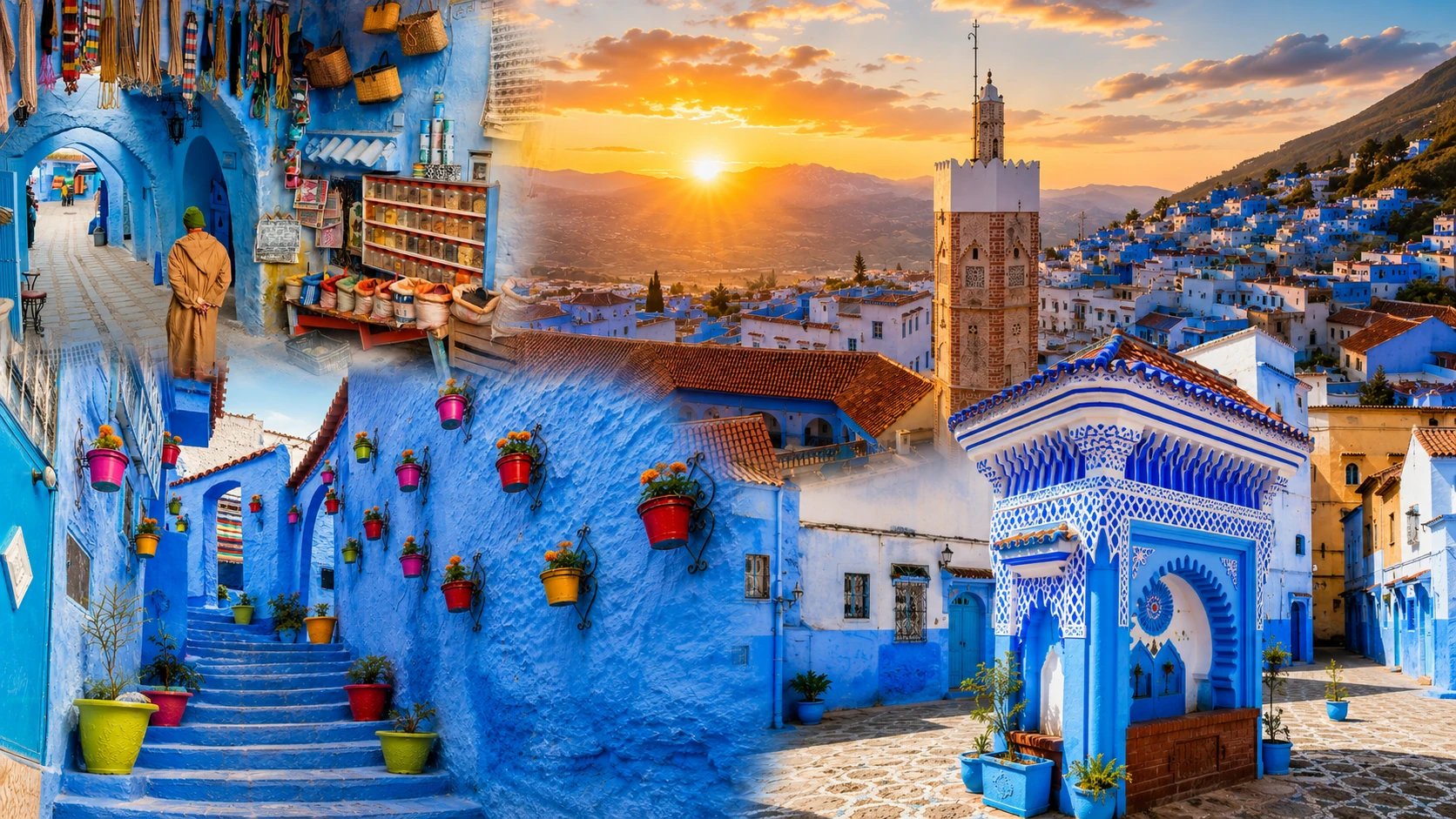
Chefchaouen blue medina, mountain skyline and sunset panorama

Northern Morocco & the Rif

Chefchaouen The Blue Mountain Medina

Chefchaouen is not only Morocco’s blue city. It is a mountain medina shaped by Rif landscapes, Andalusian memory, craft traditions, water, viewpoints and daily life in lanes washed in blue.

Why Chefchaouen matters

Beyond the blue image

Chefchaouen is often reduced to colour, but its deeper value comes from the way blue streets, mountain geography, local craft and religious landmarks work together. It is a medina of viewpoints, thresholds, water and daily life rather than only a visual backdrop.

The city sits against the Rif and rewards a slower route: Place Outa el-Hammam, the Kasbah, the Grand Mosque exterior, Ras el-Maa and the Spanish Mosque viewpoint each reveal a different layer of the same mountain town.
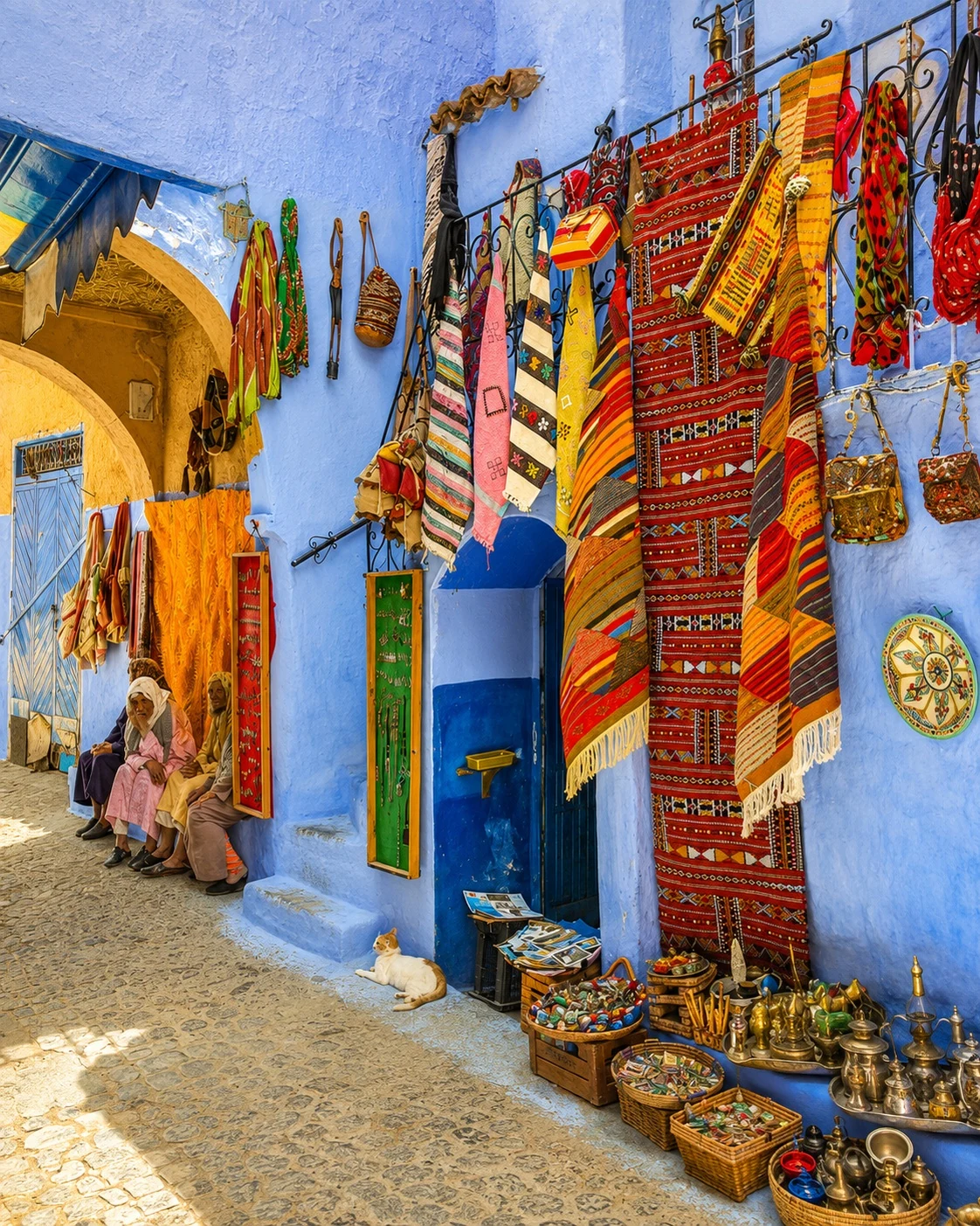
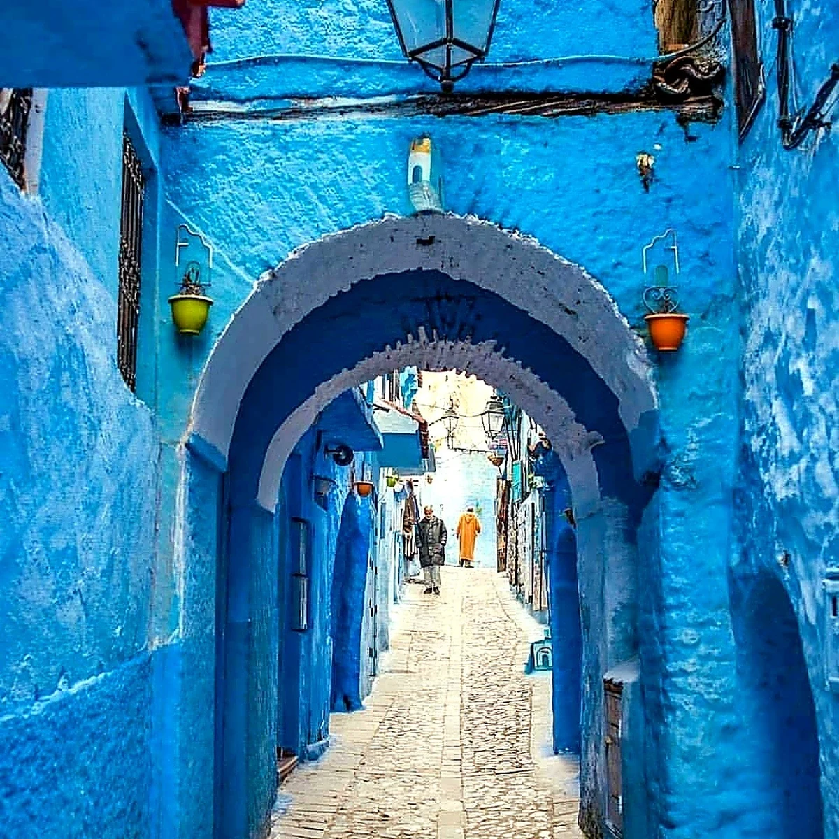
Chefchaouen blue medina lane with craft and local life

A lived medina beneath the Rif

Chefchaouen’s beauty is strongest when read through craft shops, steep lanes, blue walls, mountain water and public squares that remain part of everyday life.

Historical orientation

From mountain stronghold to blue medina

Chefchaouen developed through connected historical layers: a late-fifteenth-century mountain stronghold, Andalusian and Morisco settlement, its place within northern Morocco’s Spanish zone, and the contemporary city known for blue-painted streets and Rif culture.

011471

A mountain stronghold

Moulay Ali ibn Rashid founded a fortified settlement in the Rif as a base of resistance to Portuguese expansion on Morocco’s northern coast.

02Late 15th–17th centuries

Andalusian and Morisco settlement

Arrivals from al-Andalus and later Morisco communities helped shape the medina’s domestic architecture, crafts, gardens, lanes and religious life.

0320th century

The Spanish northern zone

Chefchaouen became part of the Spanish-controlled zone in northern Morocco before returning to an independent Morocco in 1956.

04Today

Blue medina and Rif gateway

The city is globally recognised for its blue streets, while the Kasbah, water routes, local craft and mountain landscape remain essential to understanding it.

Three glimpses of Chefchaouen

Three ways into the city

Chefchaouen can be approached through three essential images: blue medina lanes, the Kasbah and square, and the water-and-mountain routes that open beyond the city.

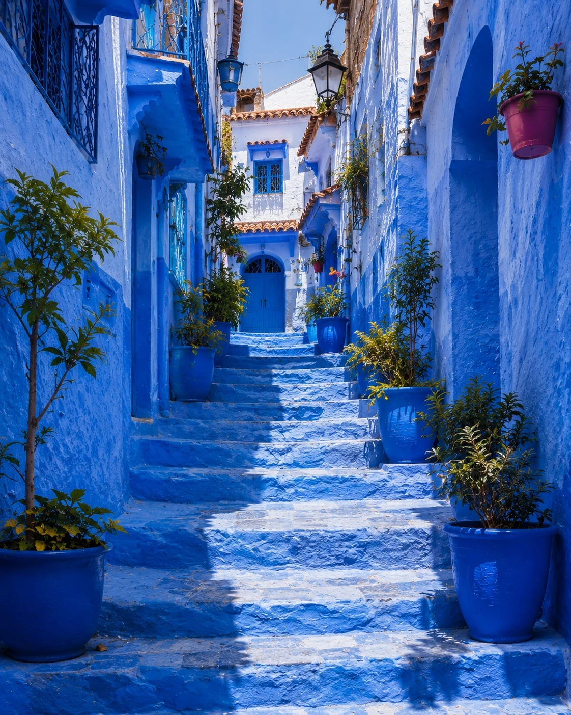
Blue arched medina lane in Chefchaouen

Blue medina streets

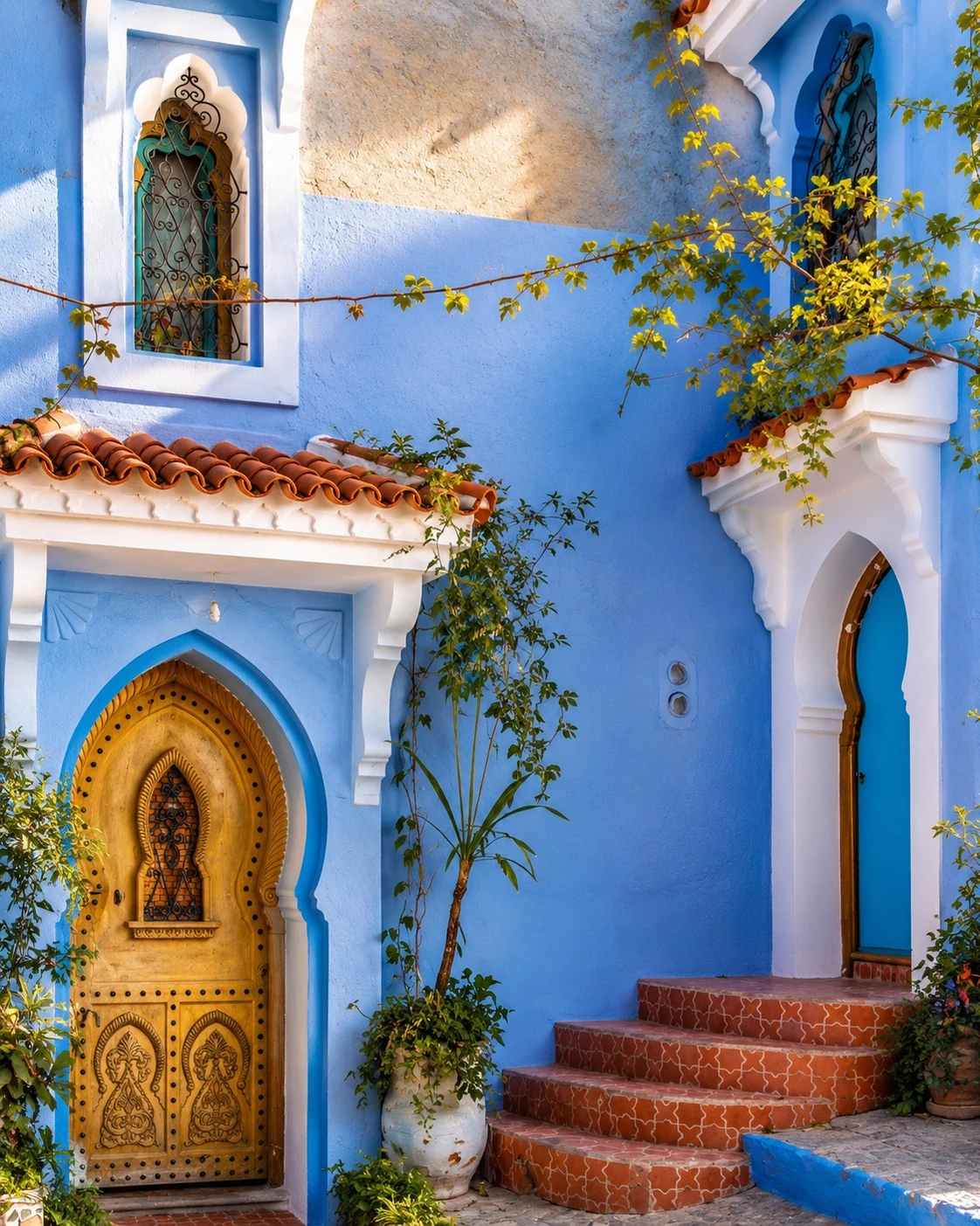
Painted alleys, stairs and arched passages make Chefchaouen’s old town one of Morocco’s most recognisable urban landscapes.

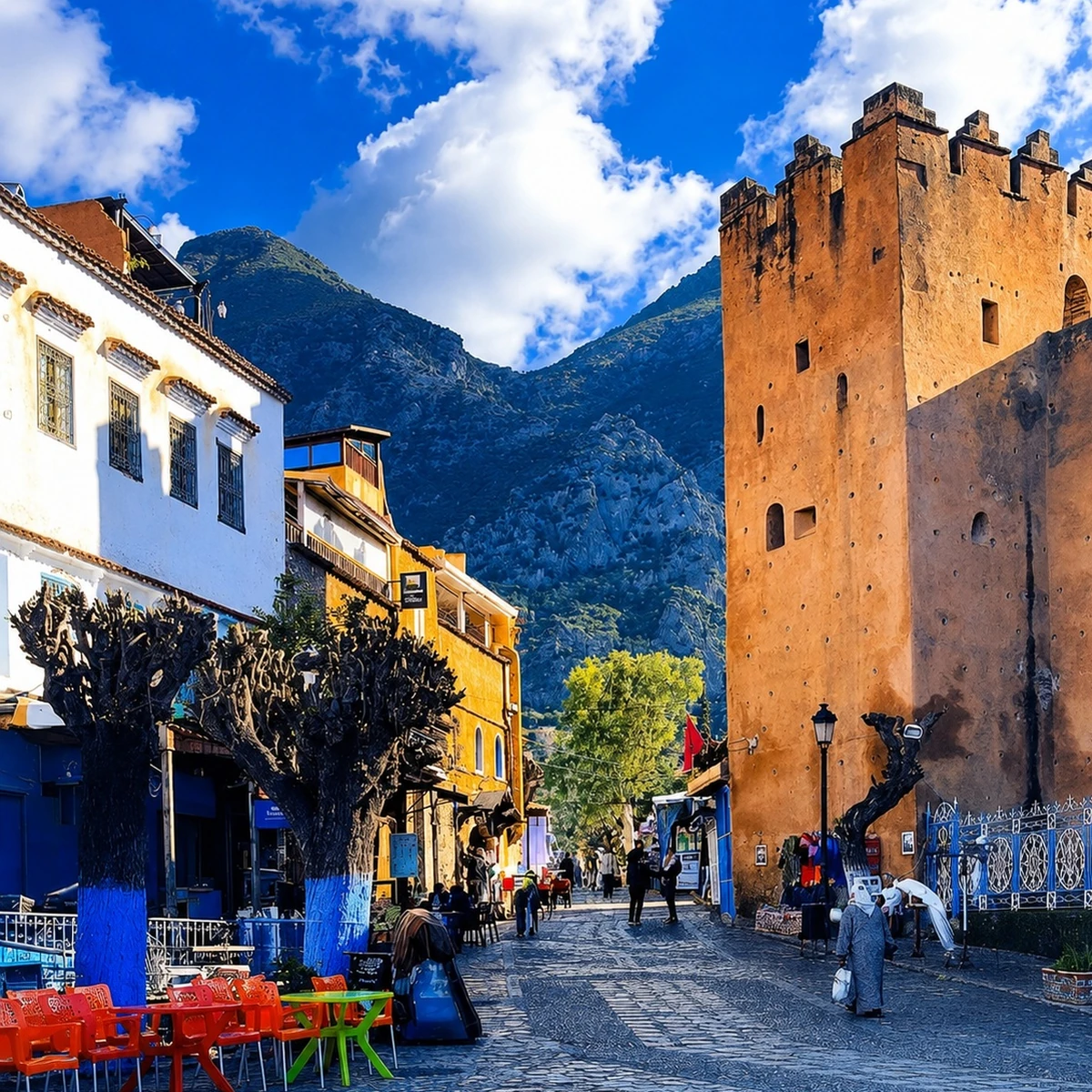
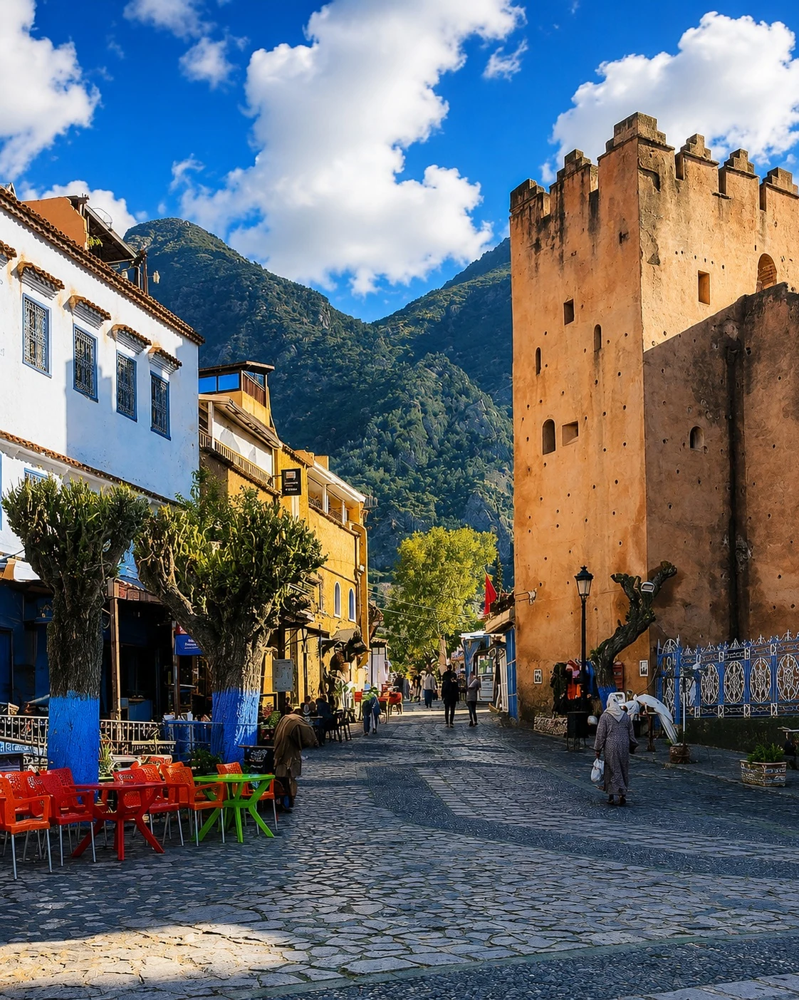
Chefchaouen Kasbah beside Place Outa el-Hammam

Kasbah and square

The Kasbah and Place Outa el-Hammam anchor the city, giving the medina a clear civic and historical centre.

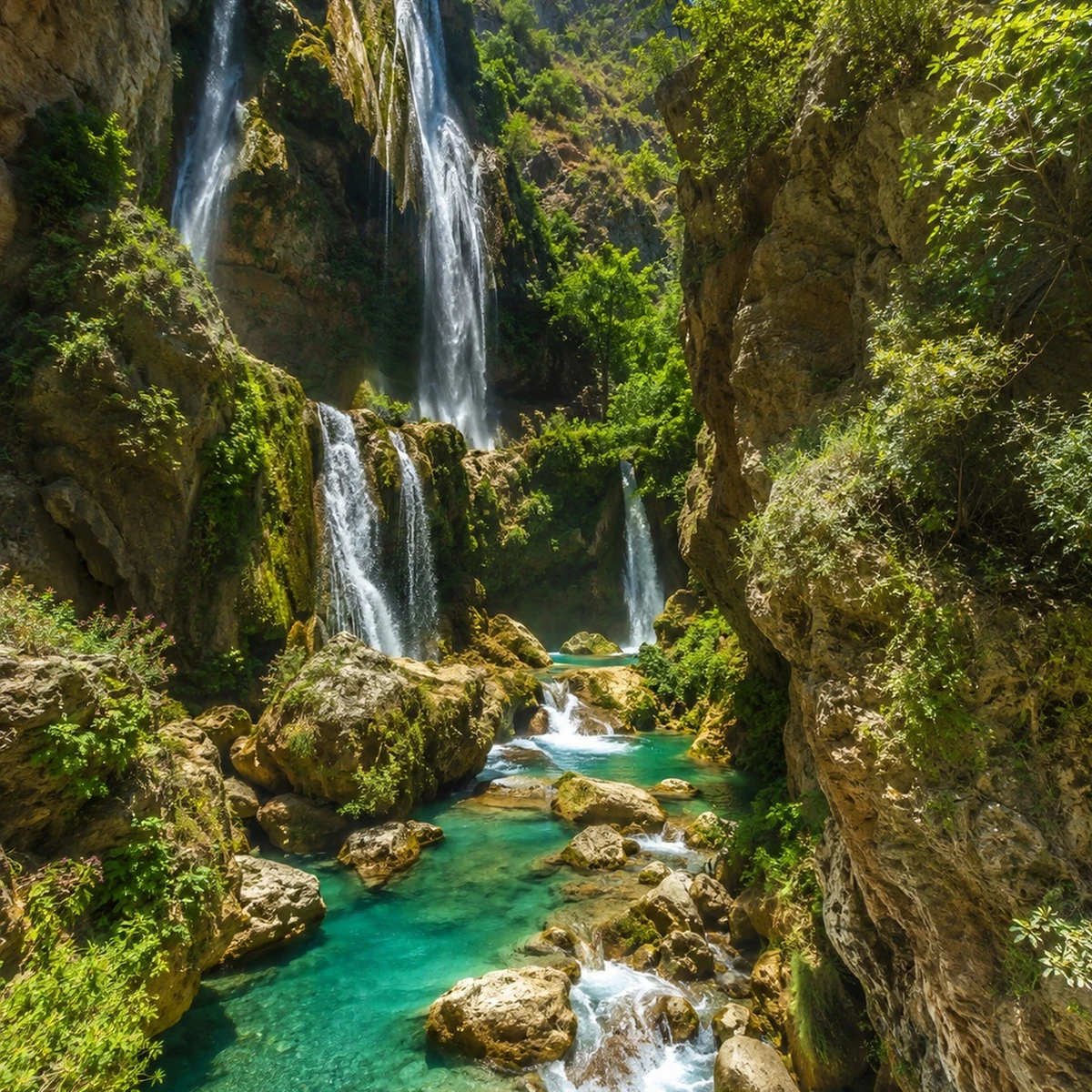
Waterfall and Rif landscape near Chefchaouen

Water and Rif routes

Ras el-Maa, Akchour and Talassemtane connect the blue city to water, trees, valleys and mountain paths.

Chefchaouen at a glance

Blue medina lanes

Chefchaouen’s painted streets are visual and social spaces: homes, shops, stairs and daily routes share the same colour field.

A Rif mountain city

The mountain setting shapes the city’s slopes, views, water and sense of separation from the larger urban centres.

A clear civic centre

The Kasbah and Place Outa el-Hammam give the old city a strong anchor for orientation, public life and historic context.

Gateway to nature

Ras el-Maa, Akchour and Talassemtane extend the experience from medina lanes into waterfalls, forest and mountain routes.

Reading Chefchaouen more clearly

Three defining layers

To understand Chefchaouen, read the medina’s blue surfaces together with its civic centre and the Rif landscape beyond. Each layer gives the city a different scale and rhythm.

Blue stairway lane in Chefchaouen
Blue lanes

Medina and movement

The streets are not only decorative. They guide movement through steep lanes, steps, doorways and small shopfronts where colour becomes orientation.

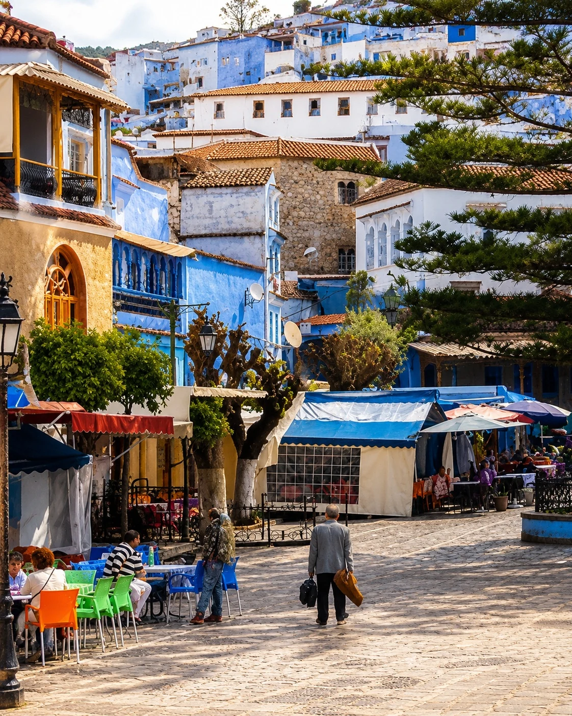
Chefchaouen Kasbah and plaza beneath the Rif
Civic centre

Kasbah, plaza and mosque exterior

The central square gives Chefchaouen its public rhythm, while the Kasbah and Grand Mosque exterior hold the visual memory of the old city.

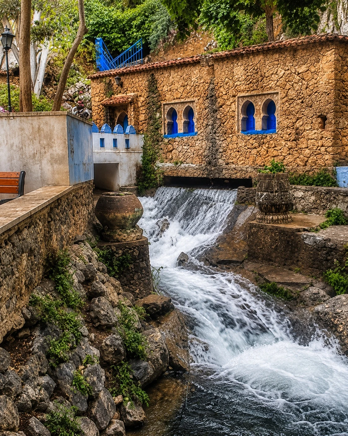
Ras el-Maa water route at the edge of Chefchaouen
Rif landscape

Water, valleys and mountain routes

Ras el-Maa and the nearby valleys remind visitors that Chefchaouen is also a mountain destination, not only a medina destination.

Landmarks & orientation

Read Chefchaouen through six defining places

Chefchaouen is easiest to understand by moving between its blue lanes, civic centre, water edge and hillside viewpoints. These six places form a clear first route.

1
Blue medina lanes

The painted old town is the city’s strongest visual identity, but it is best walked slowly as a lived neighbourhood rather than treated only as a backdrop.

2
Kasbah

The fortified heart of Chefchaouen stands beside the main square and gives the city a visible historical anchor.

3
Place Outa el-Hammam

The main square links cafés, the Kasbah, the Grand Mosque exterior and the daily flow of medina life.

4
Grand Mosque exterior

Its distinctive minaret and position beside the square make the mosque an essential part of the central cityscape; visitor access should be approached respectfully.

5
Ras el-Maa

The water edge connects the medina to mountain springs, local movement and the path toward the hillside.

6
Spanish Mosque viewpoint

The hillside viewpoint offers one of the clearest readings of Chefchaouen’s blue medina and Rif setting.

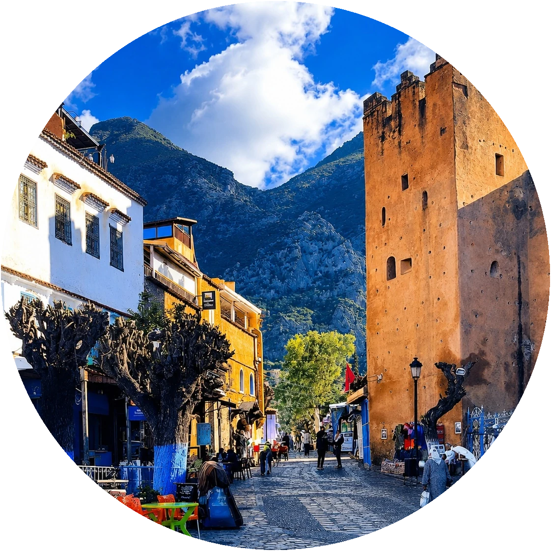
Circular view of Chefchaouen Kasbah, square and Rif mountains
Chefchaouen Kasbah beside the mountain medina

A fortress in the blue city

Kasbah and mountain memory — the fortress at the heart of Chefchaouen

The Kasbah gives Chefchaouen more than a postcard identity. It places the blue medina within a deeper story of mountain defence, civic life and public space around Place Outa el-Hammam.

  • Use the Kasbah and square as the city’s orientation anchor.
  • Read the blue lanes as part of a mountain medina, not as decoration alone.
  • Continue from the centre toward Ras el-Maa and the hillside viewpoints.

Medina, craft and local life

Three details that give the blue city depth

Colour as urban surface

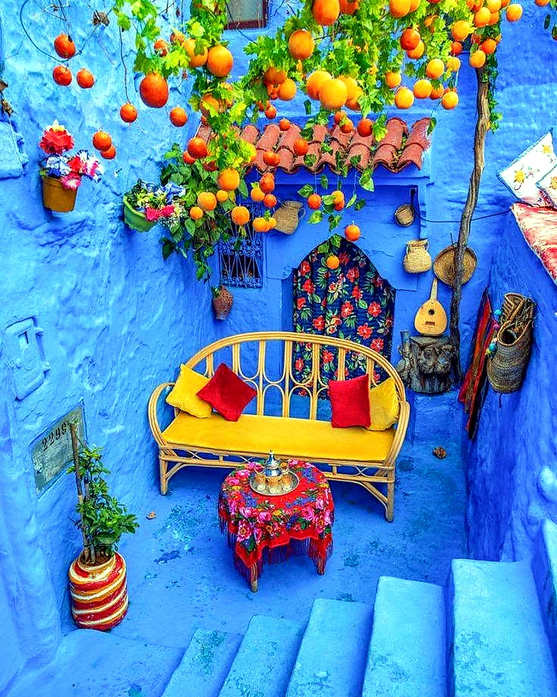
Blue appears across walls, steps, doors and passageways in many shades. The precise origin of the practice is debated, so it is more useful to notice how colour is renewed, inhabited and woven into everyday routes.

Slopes, stairs and enclosed views

Chefchaouen’s mountain position creates a vertical medina of stepped lanes, sudden arches and framed glimpses. Urban form and topography work together at every turn.

Rif craft and everyday use

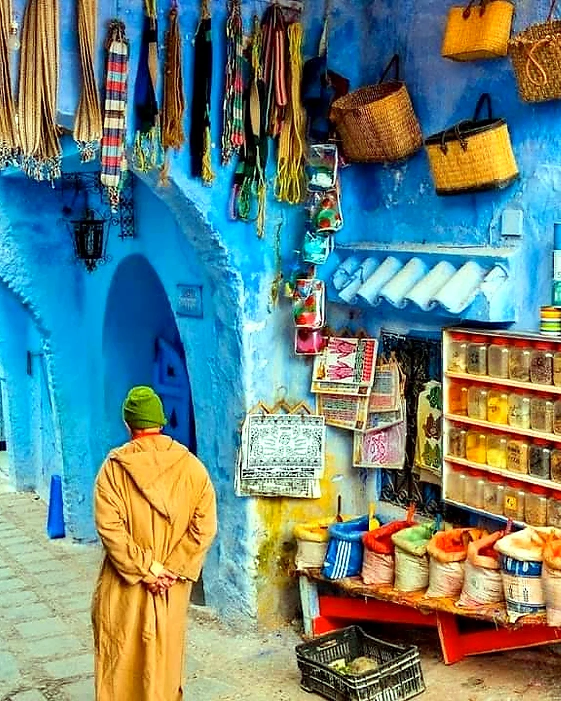
Woven textiles, leather, baskets, woodwork and small shopfronts connect the medina’s visual identity to local making and the wider material culture of the Rif.

Visual atmosphere

Scale, colour and mountain transitions

Nearby highlights

Beyond Chefchaouen

Chefchaouen works beautifully as a base for nature and northern routes. The strongest extensions move from the medina toward water, bridges, mountains and nearby historic towns.

Akchour waterfalls

Akchour adds water, forest and hiking routes to the Chefchaouen experience. Trail length, water levels and conditions vary, so plan the outing separately from a first medina walk.

Akchour waterfall in the Rif Mountains near Chefchaouen

God’s Bridge and Talassemtane

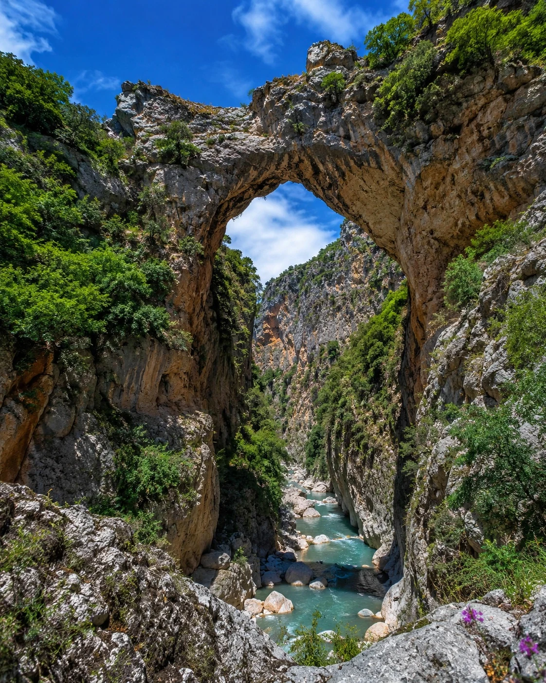
This mountain landscape opens the journey toward a natural rock arch, valleys and the wider protected environment of Talassemtane National Park.

God’s Bridge rock arch near Chefchaouen and Talassemtane

Tétouan and the northern route

Continue toward Tétouan for a different northern urban character, or link Chefchaouen with Tangier and the Rif coast as part of a wider route.

Northern Morocco route from Chefchaouen toward Tétouan
Travel note: opening hours, access rules, restoration work, trail conditions, weather, transport and local visitor arrangements can change. Check current official or trusted local information before travelling.

Practical orientation

How to experience Chefchaouen well

  • Begin early, before the blue medina’s busiest visitor hours.
  • Use Place Outa el-Hammam and the Kasbah as the clearest orientation anchor.
  • Wear footwear suited to steep lanes, steps and uneven surfaces.
  • Continue toward Ras el-Maa and the Spanish Mosque viewpoint for the mountain reading.
  • Treat Akchour and Talassemtane as a separate half-day or full-day nature extension.

A strong first visit

Craft shop and walking route in a blue Chefchaouen medina lane

Begin in the blue medina, pause at Place Outa el-Hammam and the Kasbah, then follow the city outward toward Ras el-Maa. Finish with the Spanish Mosque viewpoint when light and conditions are suitable; keep Akchour for a separate outing.

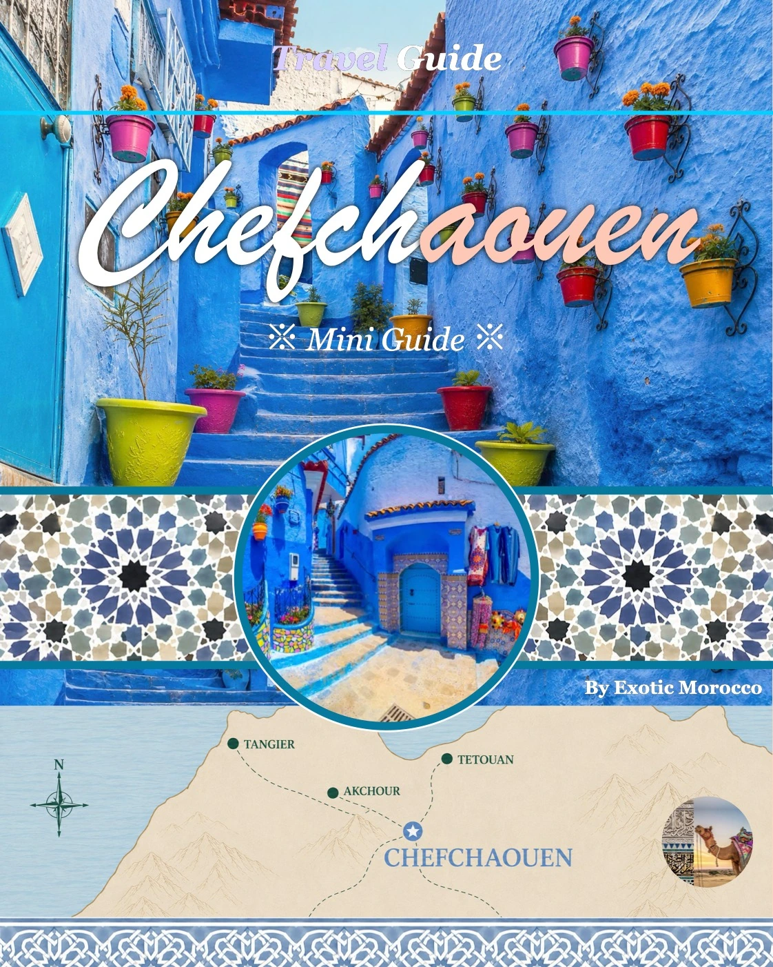
Cover of the Chefchaouen Exotic Morocco visual city guide

Continue with Exotic Morocco

Chefchaouen — the blue city with mountain depth

Continue with a visual city guide that connects the blue medina, Kasbah, Ras el-Maa, viewpoints, craft streets and nearby Rif nature routes in one carefully structured journey.

✓ Historical context✓ Essential landmarks ✓ Blue medina & design✓ Culture & local life ✓ Practical orientation✓ Nearby Rif highlights

Continue the journey

Discover Chefchaouen beyond the blue

Chefchaouen is most memorable when the blue streets are read together with the Kasbah, Rif setting, water routes, craft traditions and mountain light that surround the medina.