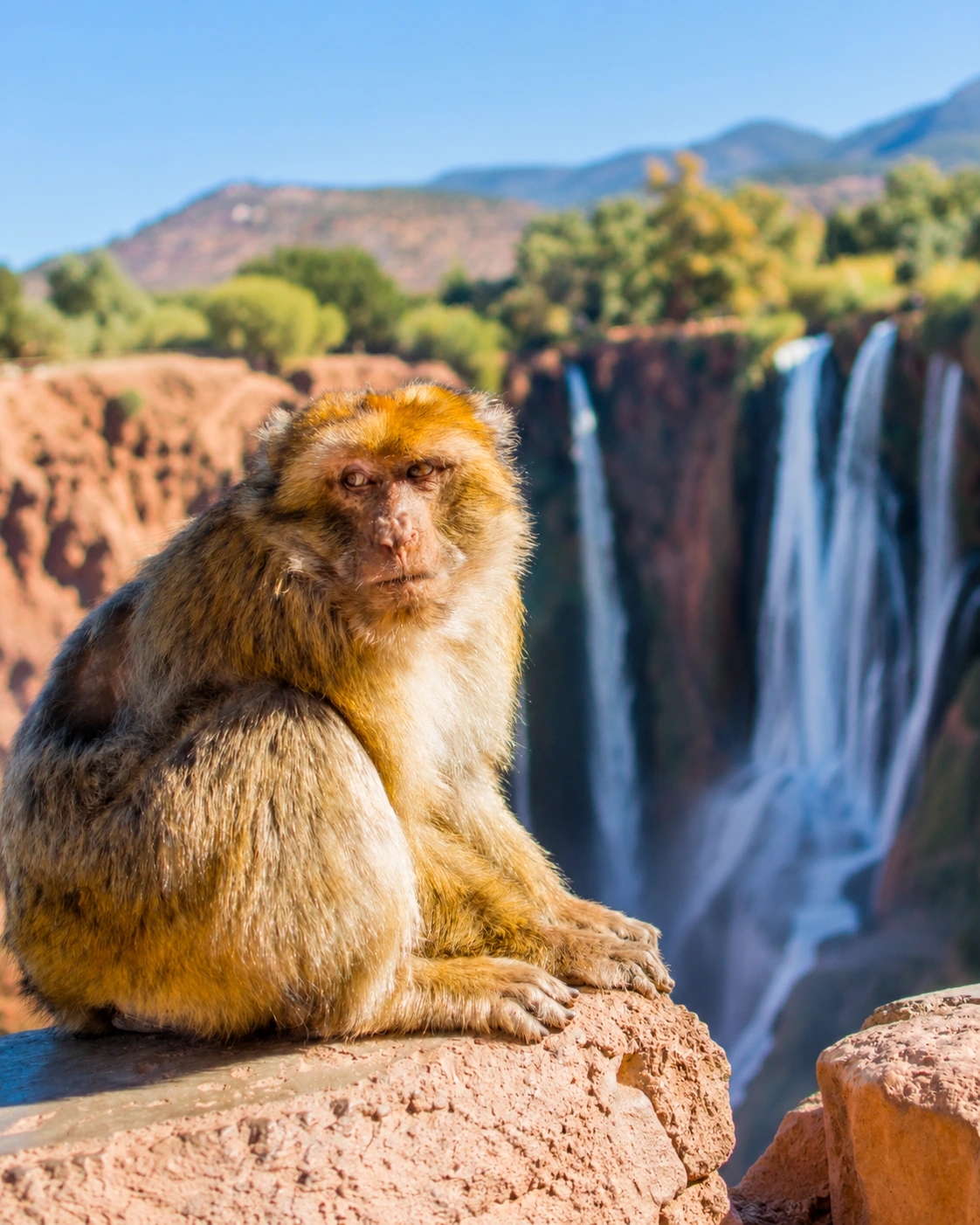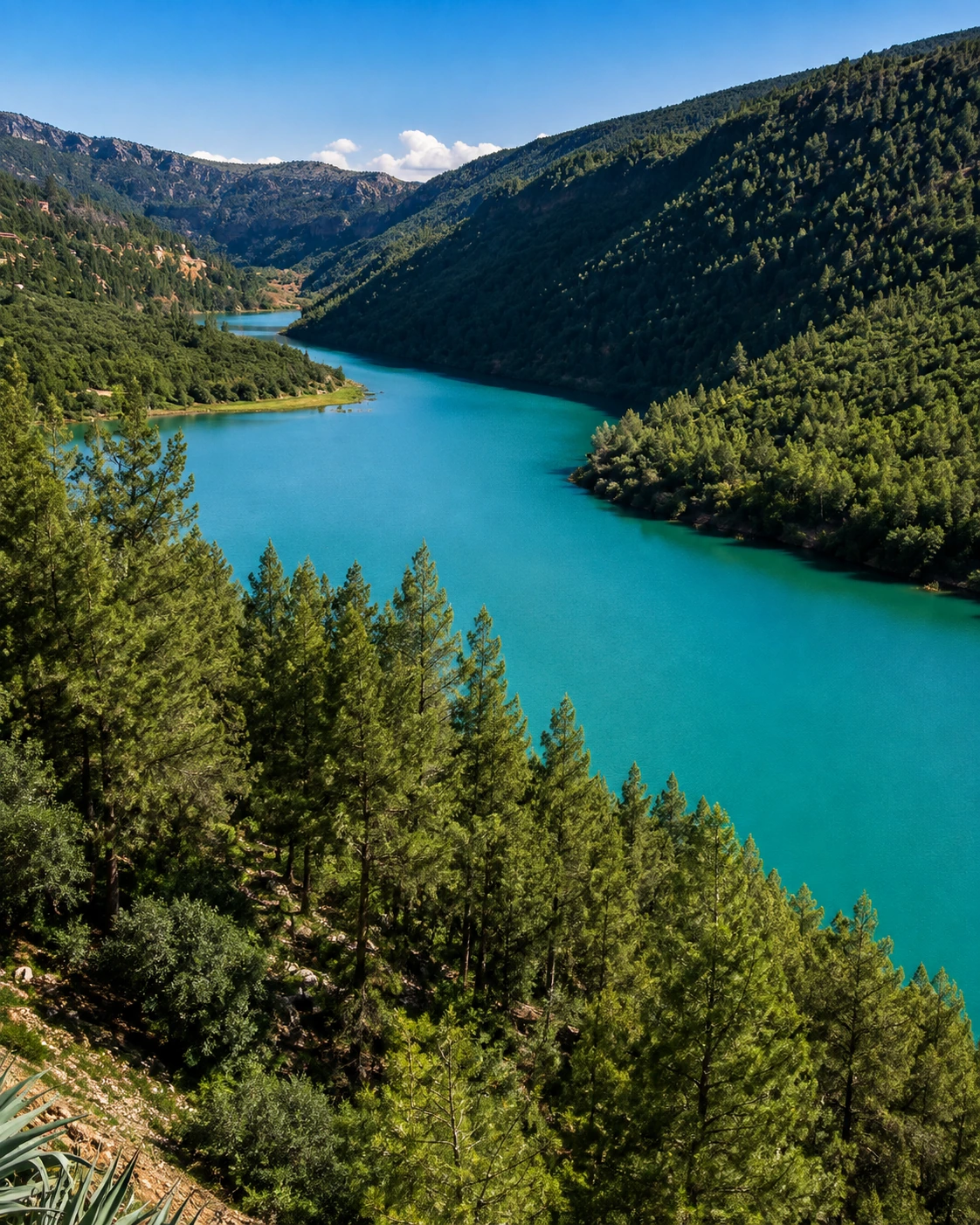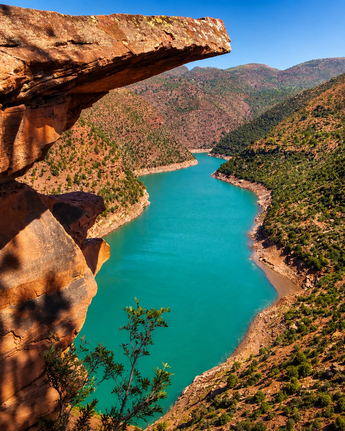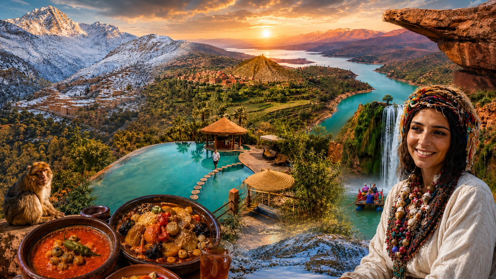
High Atlas lake and mountain landscape near Azilal

High Atlas Gateway

Azilal Ouzoud waterfalls, mountain roads and lake-blue Atlas landscapes

Azilal sits in Morocco's central High Atlas, where a practical mountain town opens toward waterfalls, gorges, lakes, forests, terraces and Amazigh rural valleys. It is a page best read through geography: water, altitude, red earth, local routes and the wider M'Goun Geopark landscape.

Why Azilal matters

Beyond a mountain stopover

Azilal is often approached as a route toward Ouzoud or Bin El Ouidane, but the town and province deserve a slower reading. The landscape gathers mountain roads, cultivated terraces, red-earth villages, market movement, lake viewpoints and deep valley corridors into one Atlas gateway.

The experience is not about one monument. It is about how people move through altitude, water and distance: from town streets to rural tracks, from olive groves to cliff paths, from winter snowlines to summer valleys and from daily life to dramatic natural sites.
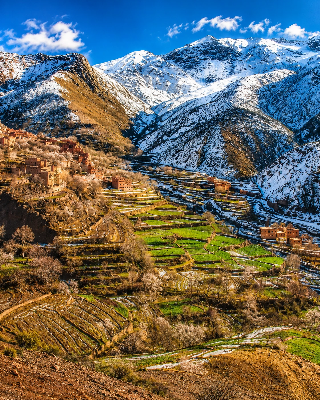
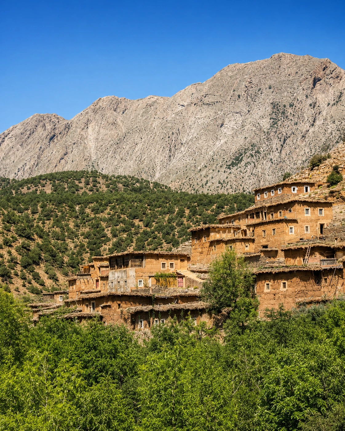
Terraced High Atlas slopes around Azilal province

A region of height and water

Azilal works as a base when the surrounding geography is treated as part of the destination, not just scenery on the way somewhere else.

EXPLORE

Azilal

Historical orientation

From mountain routes to a wider Atlas gateway

Azilal is best understood through continuity rather than spectacle. Longstanding Amazigh mountain life, seasonal movement, rural markets, irrigation, river valleys and modern roads all shape the way the town connects the central High Atlas to the plains beyond. The province also belongs to a broader geological story, where cliffs, fossils, gorges and lake landscapes give the region a distinct Atlas identity.

01Long before the modern town

Mountain routes

High Atlas communities used valleys, passes, pasture, water sources and market paths to connect villages across a demanding mountain landscape.

02Rural Atlas life

Amazigh valleys

Terraces, stone-and-earth building, seasonal agriculture, herding and weekly markets gave the region its lived rhythm long before tourism made its landscapes famous.

03Modern period

A provincial centre

Azilal developed as an administrative and service town for surrounding mountain communities, linking local needs with schools, transport, commerce and regional roads.

04Today

Nature and geopark context

Ouzoud, Bin El Ouidane, the Ahansal area and the wider M'Goun Geopark context make Azilal a gateway for landscape, geology and rural-cultural journeys.

A visual bridge

Three glimpses between town and Atlas

These images connect the town with the landscapes around it: seasonal snow, mountain roads and red-earth settlement forms that make Azilal feel different from Morocco's coastal or imperial-city routes.

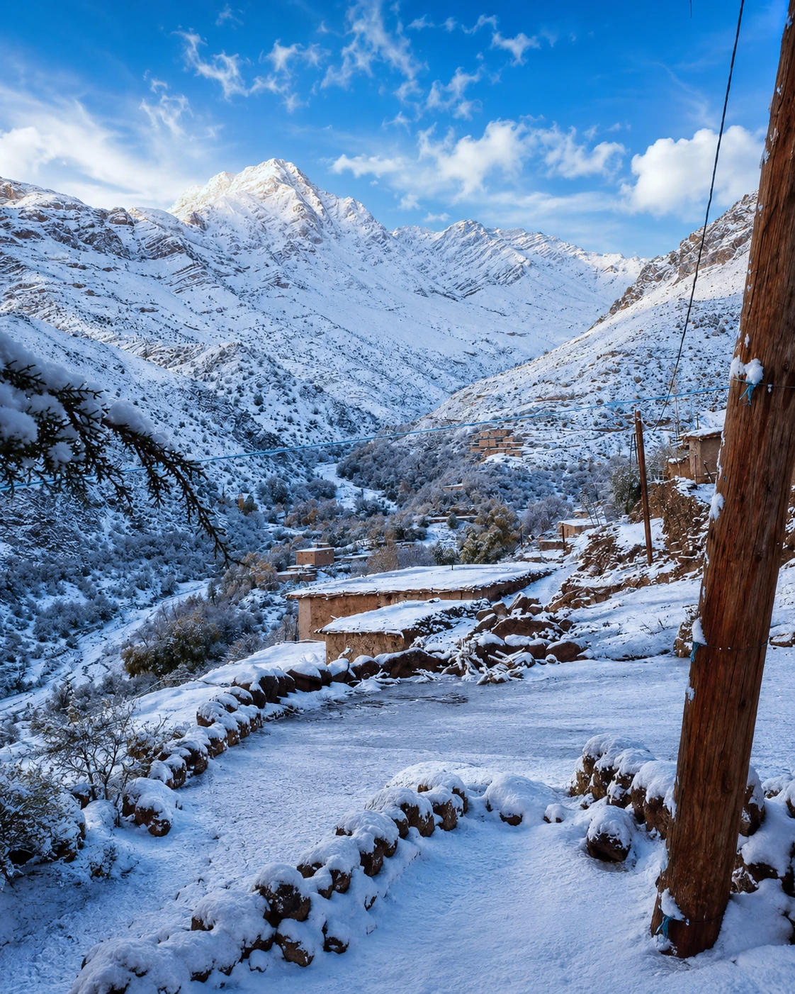
Snowy High Atlas valley in the Azilal region

Seasonal mountain light

Snow, exposed slopes and clear air show why timing matters in the High Atlas.

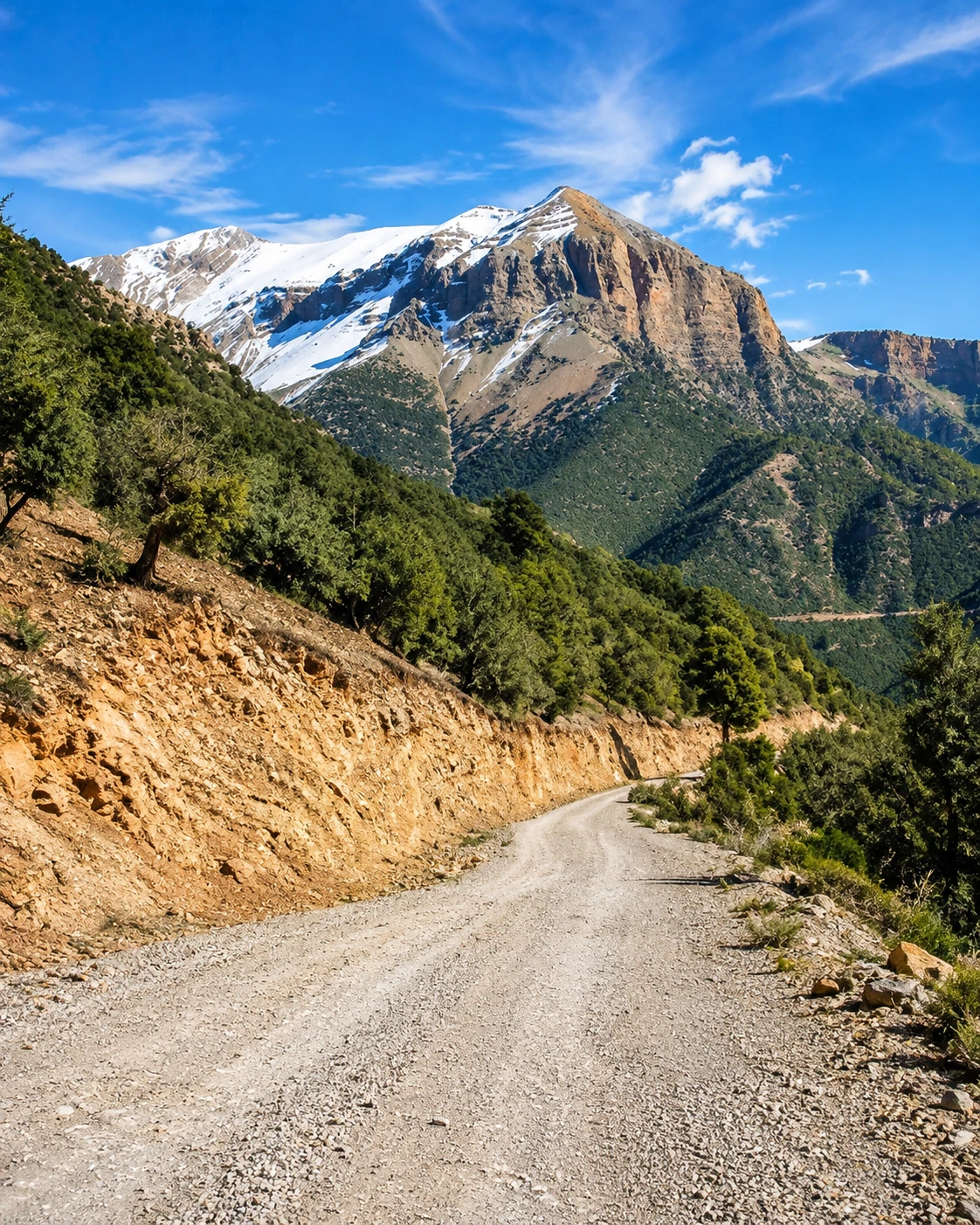
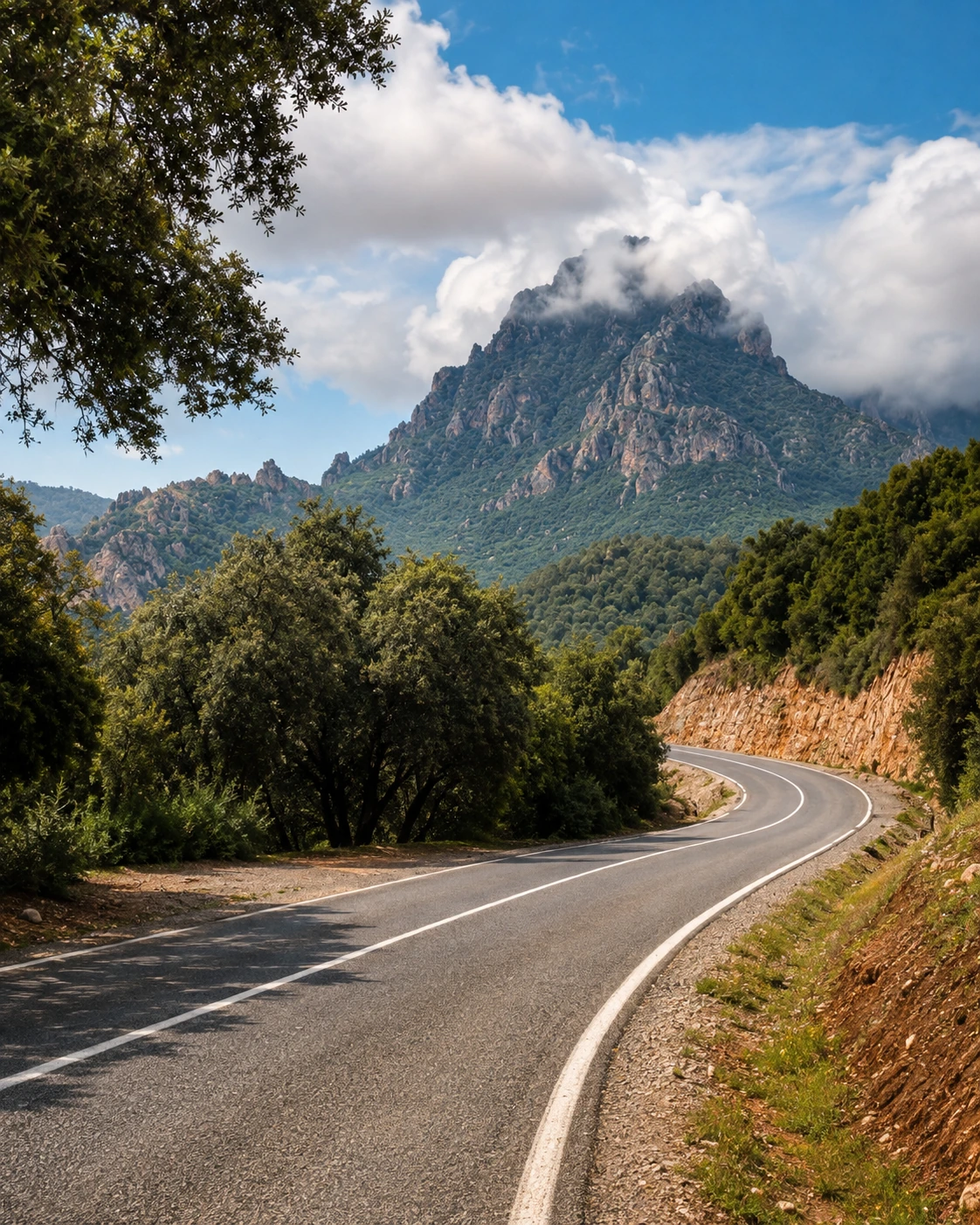
Mountain road crossing the High Atlas near Azilal

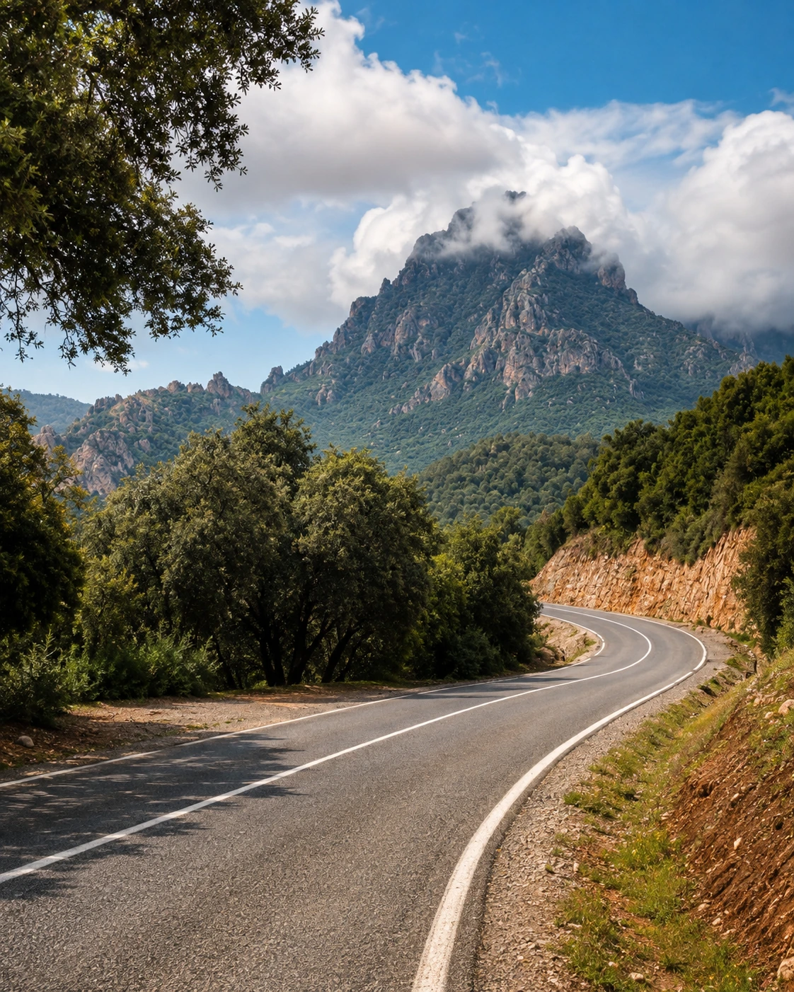
Roads through relief

The journey is part of the reading: curves, passes and valley openings structure the approach.

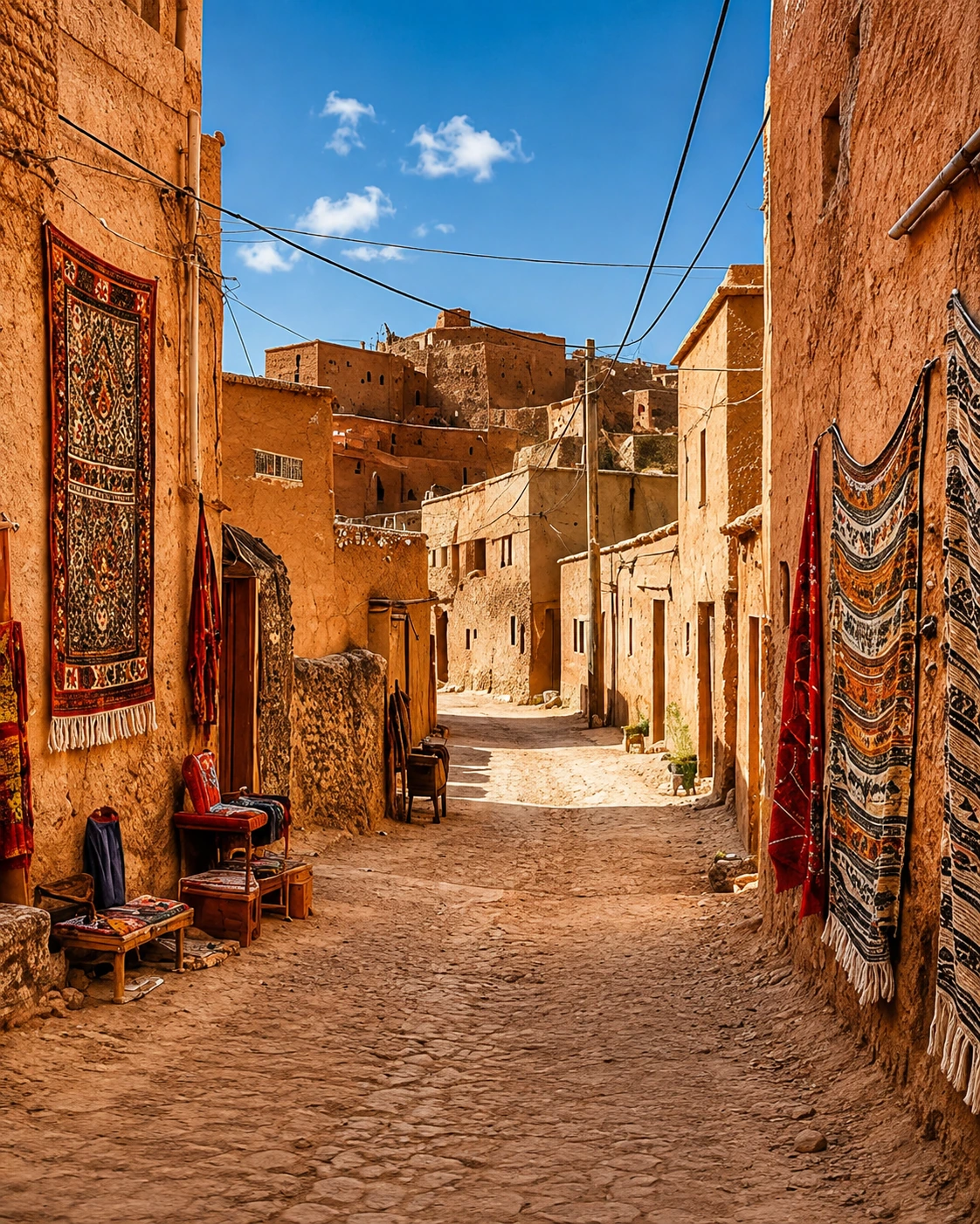
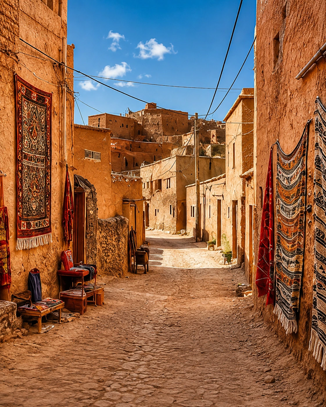
Red earth lane and village architecture in Azilal province

Village texture

Red earth, narrow lanes and local building materials keep the regional character visible at close range.

Azilal at a glance

Central High Atlas gateway

Azilal is a practical base for reading the central High Atlas: town services, regional roads, mountain valleys, waterfalls, lakes and rural routes all meet within the same travel frame.

Water defines the map

Ouzoud's cascades, Bin El Ouidane's reservoir, river gorges and irrigated terraces give the province a water-driven identity that visitors can understand visually and practically.

Rural culture is central

The region is not only scenery. Amazigh villages, agriculture, weekly markets, road stops, local food and hospitality make the human geography as important as the dramatic views.

Plan by distance, not only map pins

Mountain routes can feel longer than they look. A strong visit groups sights by valley, road condition, daylight and season instead of treating every point as a quick detour.

A clearer reading of the region

A place shaped by water, altitude and daily life

To understand Azilal, read the town and province together. The urban centre, rural valleys, cliff landscapes, lake routes and everyday movement are connected parts of one Atlas geography.

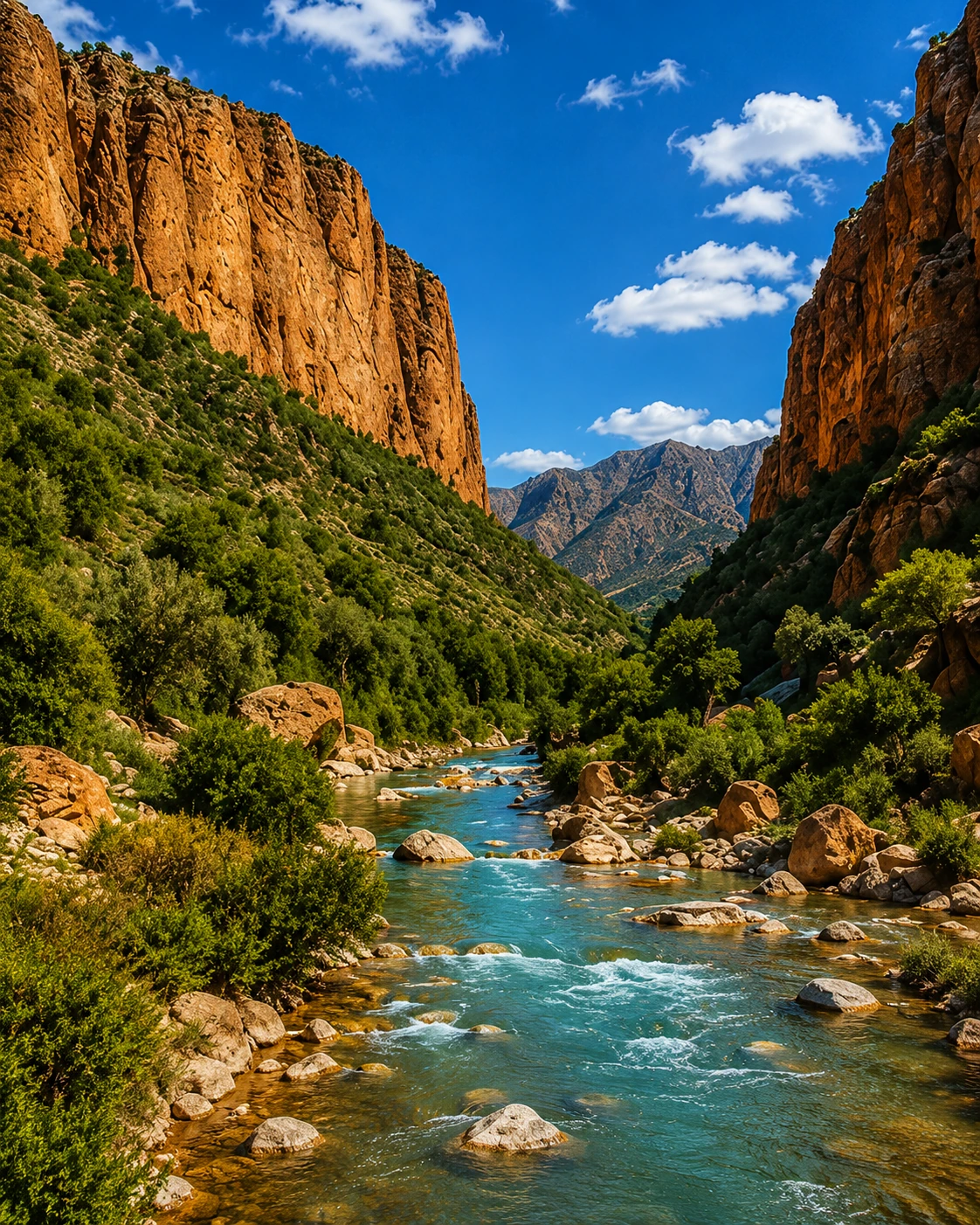
River gorge corridor in the High Atlas near Azilal
Layer 1

Gorges and river corridors

River valleys cut through the landscape and create the clearest sense of scale: cliffs, water, shade, vegetation and village access routes often appear in the same view.

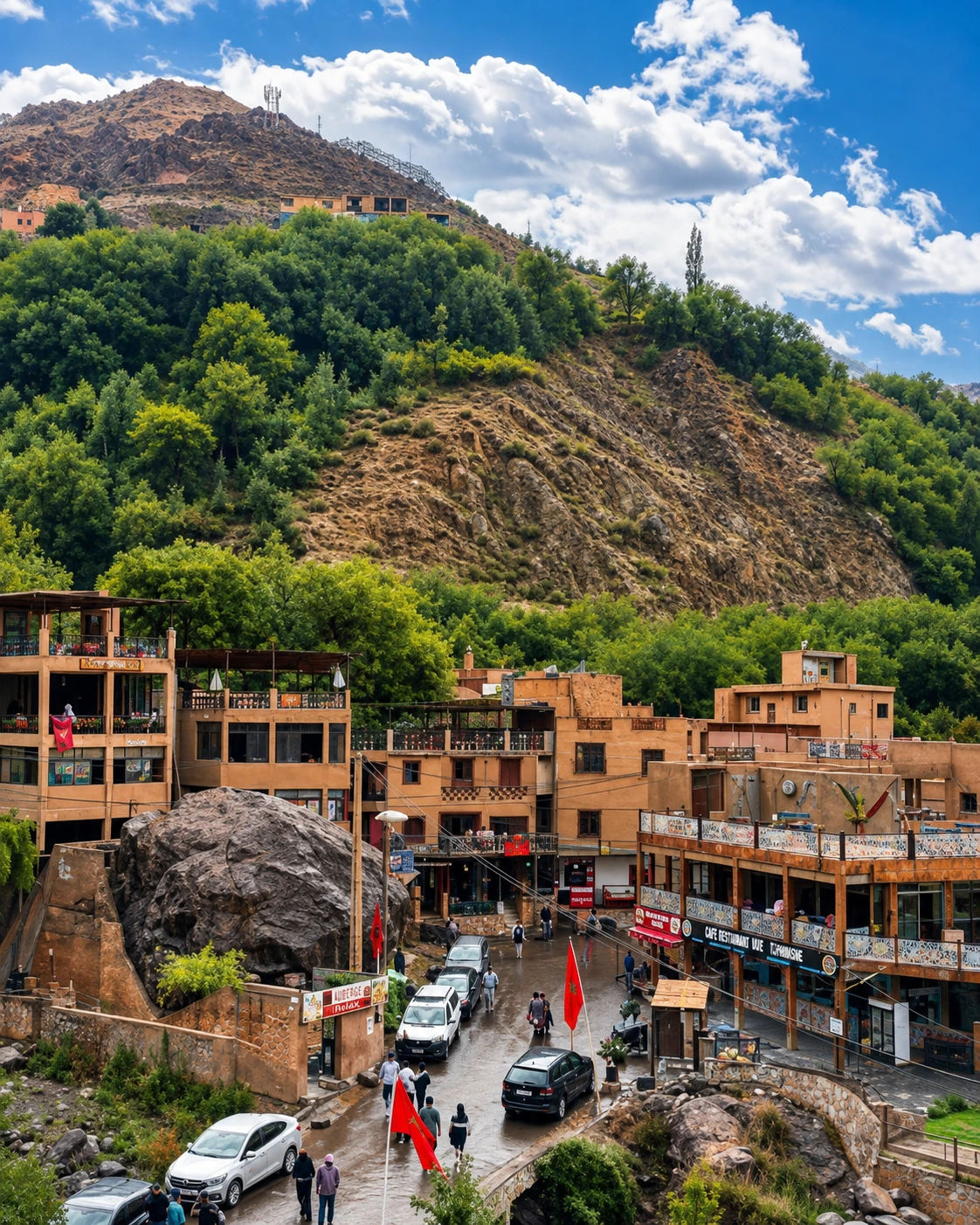
Azilal town life below mountain slopes
Layer 2

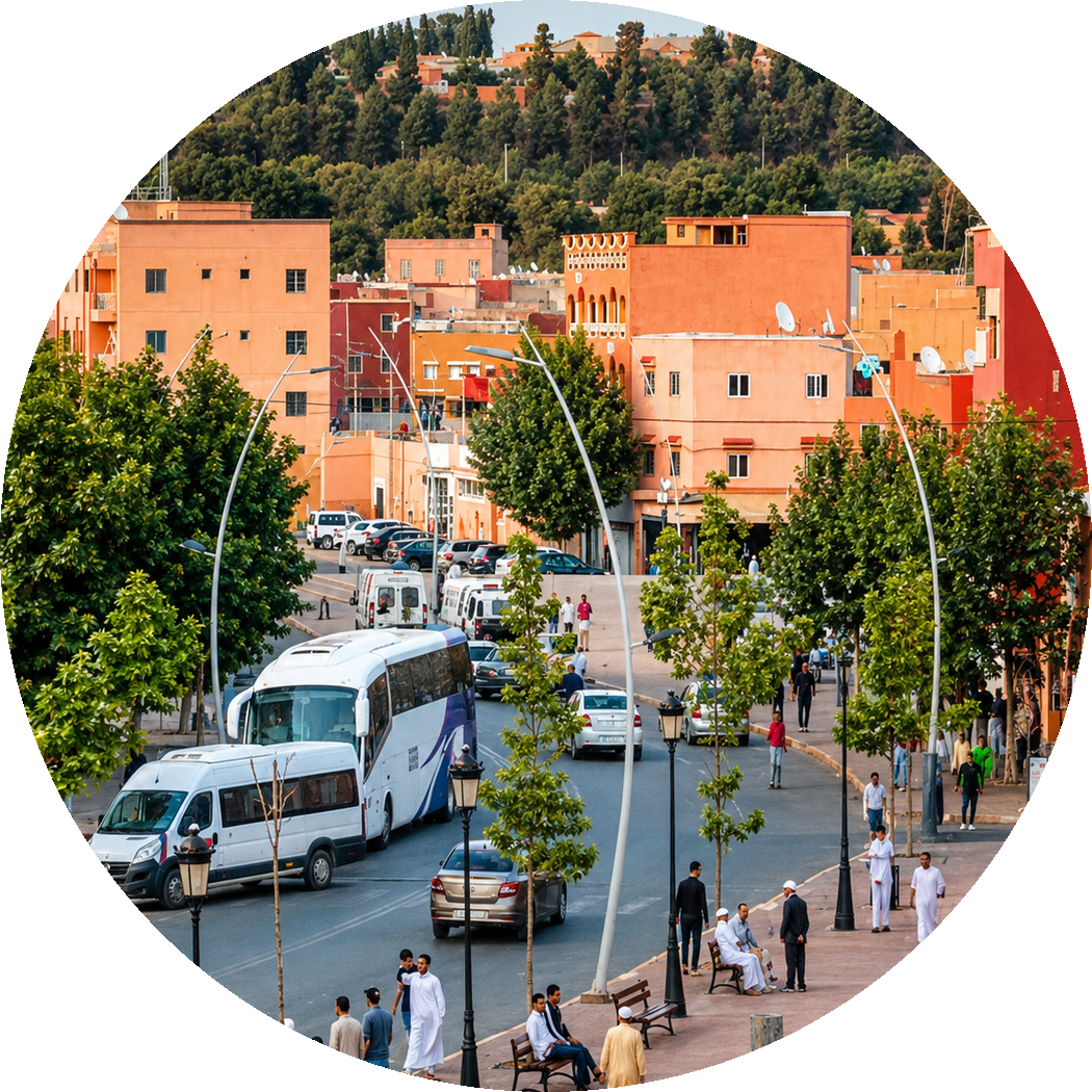
Town and service life

Azilal's streets, transport points, shops and public spaces make it a functioning mountain town rather than a scenery-only destination. This is where the surrounding region gathers.

Rural table and olive terraces in the Azilal region
Layer 3

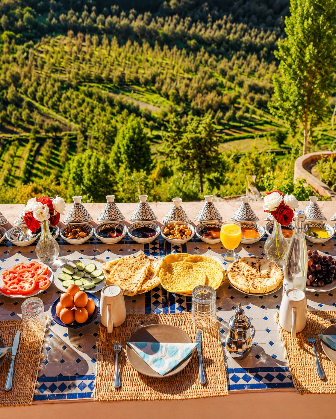
Tables, terraces and craft

Food, olive groves, rural products and household objects connect the visual beauty of the region to the work, taste and hospitality of daily Atlas life.

Landmarks & orientation

Read Azilal through six defining places

Azilal is easiest to understand through a network of places rather than a single centre. These six anchors connect town life, water, mountain valleys, geology and wider Atlas travel.

1
Azilal town centre

The practical base for local services, markets, transport and the first reading of the province's mountain-town rhythm.

2
Ouzoud Waterfalls

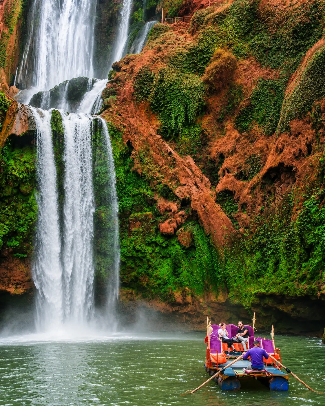
One of Morocco's best-known cascade landscapes, reached from the wider Azilal area and best visited with enough time for paths, viewpoints and water level changes.

3
Bin El Ouidane

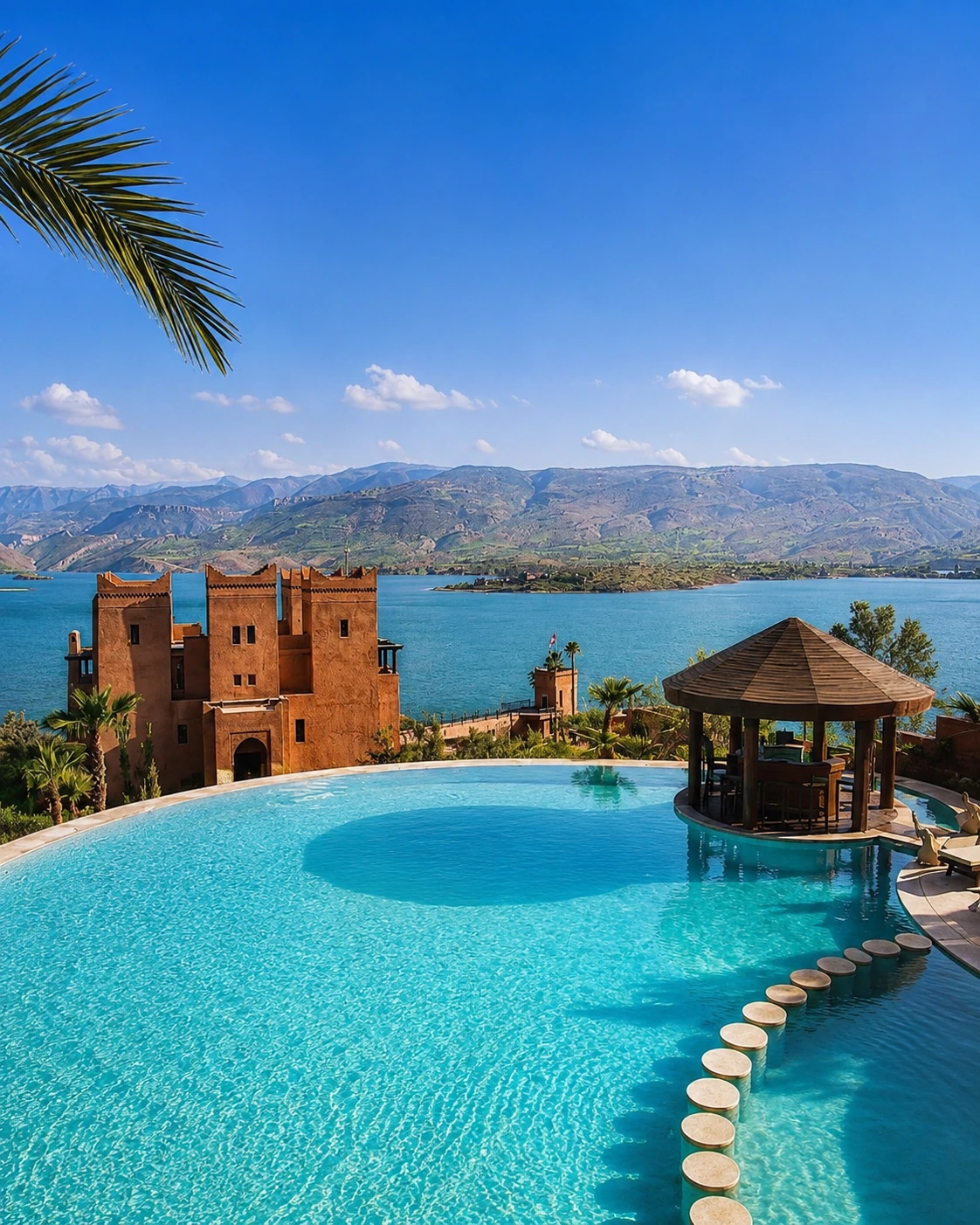
A turquoise reservoir landscape framed by mountains, known for viewpoints, lake stays, road photography and slower nature-focused travel.

4
Ait Bouguemez Valley

A high valley often called the Happy Valley, valued for villages, fields, walking routes and a quieter rural Atlas atmosphere.

5
Oued Ahansal and Tamga

A dramatic river-and-cliff area where geology, water and mountain access routes make the landscape feel raw, vertical and remote.

6
M'Goun Geopark routes

The wider geopark context links rocks, fossils, landforms, villages and viewpoints into a deeper explanation of the central High Atlas.

Azilal town centre and hillside orientation
Ouzoud waterfalls near Azilal

Water and cliff country

Ouzoud and the sound of falling water

Ouzoud is the most famous natural image associated with the Azilal region, but it should not be reduced to a single viewpoint. The experience changes with light, season, water level, path choice and the surrounding red cliffs. Read it as part of a larger water landscape that also includes Bin El Ouidane, river gorges, terraces and the mountain communities that depend on these routes.

  • Arrive with time for upper viewpoints, lower paths and the rhythm of the water.
  • Treat slippery paths, seasonal flow and crowd levels as part of the practical plan.
  • Connect Ouzoud with Azilal's wider lake, valley and geopark story rather than seeing it as an isolated stop.

Built form and landscape

Three visual languages to notice

Earth and slope

Local building colour, red-earth walls, hillside streets and village edges often echo the surrounding ground. The region's architecture reads best when seen against terraces, trees and exposed rock.

Water infrastructure

Reservoirs, bridges, irrigation channels, paths and road edges show how water shapes settlement as much as scenery. Bin El Ouidane and river corridors make this relationship especially clear.

Altitude and access

The strongest design lesson is practical: roads, steps, compact villages, shaded passages and lookout points respond to steep land, changing weather and long distances between communities.

Visual atmosphere

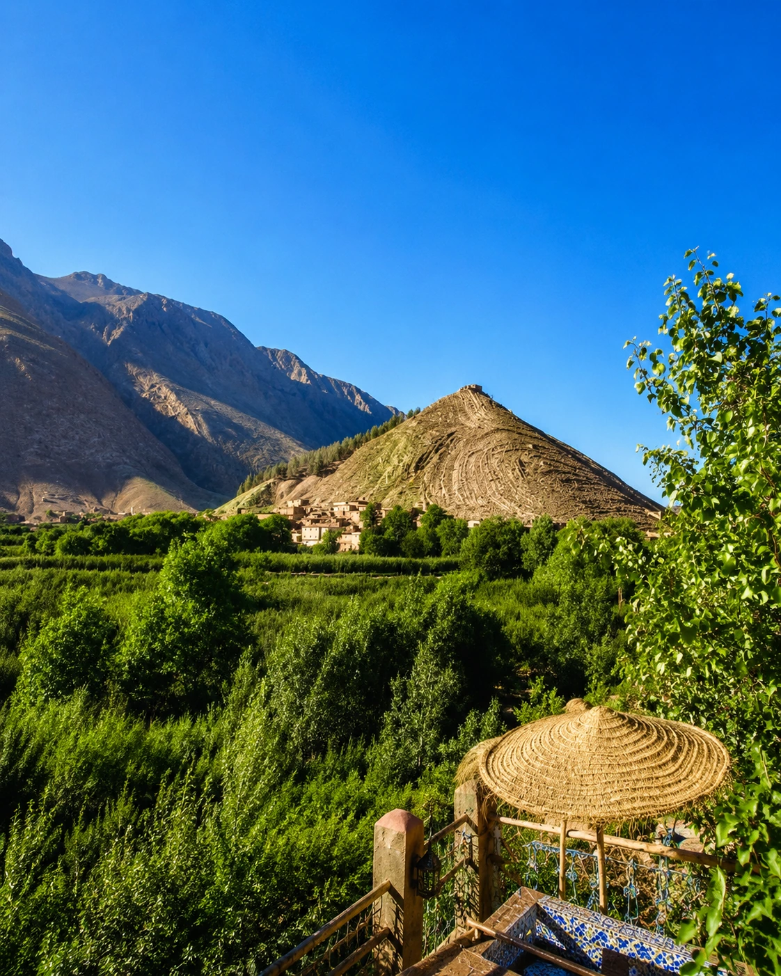
Roads, lakes, villages and valley light

Nearby highlights

Waterfalls, lake routes and high valleys

Azilal becomes stronger when planned as a regional base. Ouzoud gives the area its iconic waterfall image; Bin El Ouidane opens the lake-and-mountain route; and the high valleys toward Ait Bouguemez and M'Goun require a slower mountain pace.

Ouzoud Waterfalls

Give Ouzoud enough time for changing viewpoints, water sound, cliff colour and the walk between upper and lower levels. It is popular, so timing matters.

Ouzoud nature stop with waterfalls near Azilal

Bin El Ouidane

The reservoir landscape is best read slowly: turquoise water, mountain slopes, lodges, viewpoints and road curves all create a different Atlas mood from the waterfall route.

Turquoise water of Bin El Ouidane near Azilal

Ait Bouguemez and M'Goun

For a deeper mountain extension, continue toward high valleys and geopark routes. This is a slower journey shaped by season, road conditions and daylight.

Atlas road extension from Azilal toward mountain valleys
Travel note: mountain roads, access rules, weather, water levels, transport options and local visitor arrangements can change. Check current official or trusted local information before travelling.Travel note: opening hours, access rules, restoration work, transport conditions and local visitor arrangements can change. Check current official or trusted local information before travelling.

Practical orientation

How to experience Azilal well

  • Start in Azilal to understand the route logic before spreading out into valleys, lakes and waterfalls.
  • Group Ouzoud and Bin El Ouidane carefully; mountain kilometres can take longer than flat-road distances suggest.
  • Watch season, daylight, water levels and road conditions, especially for higher valleys and remote viewpoints.
  • Keep time for local food, markets, short walks and simple road stops instead of rushing every landscape as a checklist.
  • Use the town as a base when you want services, then move outward for nature, photography and rural Atlas atmosphere.

A strong first visit

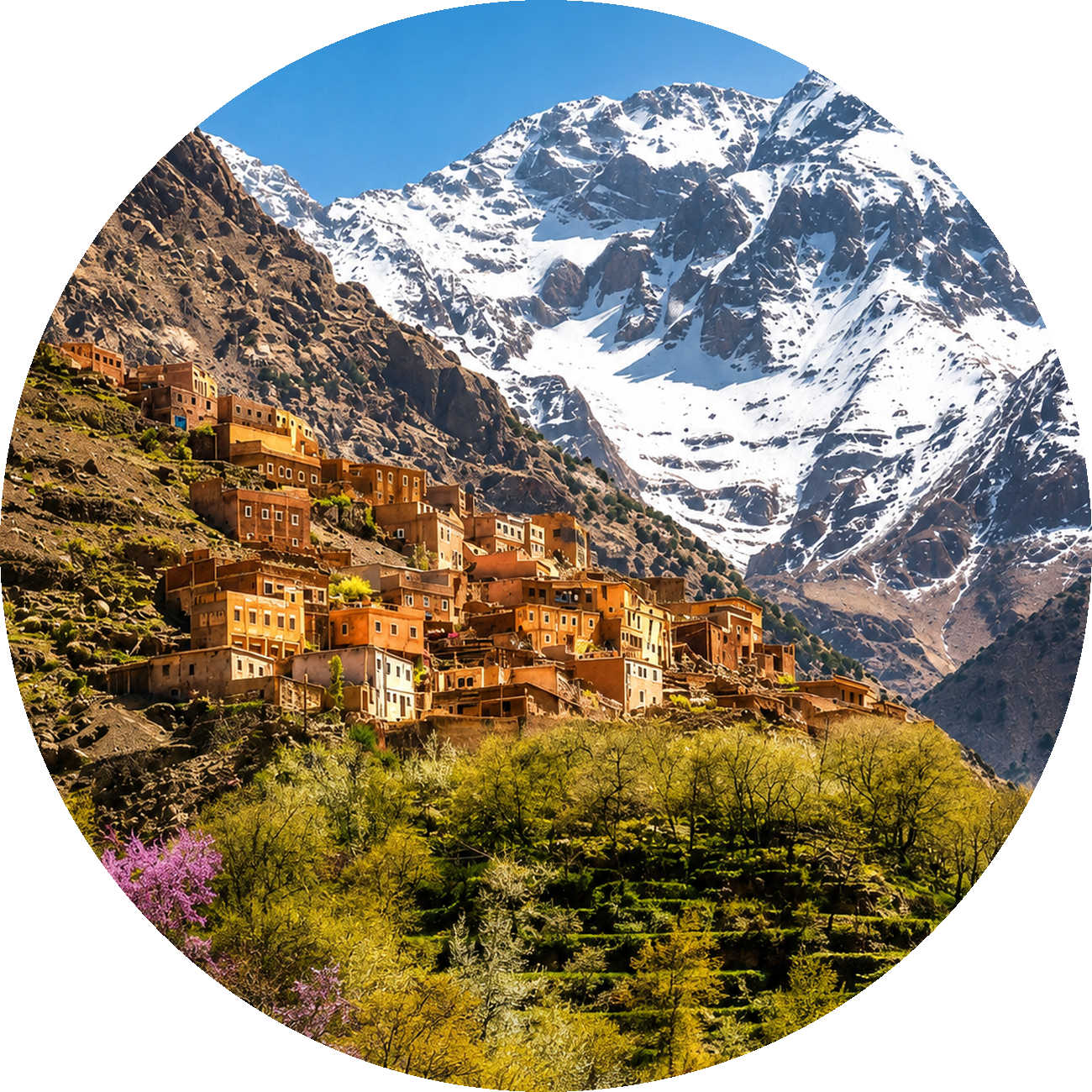
Mountain village view for a first Azilal visit

Begin with Azilal town and one close orientation route, then choose either Ouzoud for waterfalls or Bin El Ouidane for lake scenery. Save the high valleys and geopark roads for a slower second day.

Cover image for the Azilal Premium Visual City Guide

Go deeper with Exotic Morocco

Azilal - Premium Visual City Guide

Continue with a visual guide designed to connect Azilal's town rhythm, mountain landscapes, waterfalls, lake routes, rural culture, geology and practical travel planning into one clear Atlas journey.

✓ Regional context✓ Essential landscapes ✓ Waterfalls and lake routes✓ Culture and local life ✓ Practical travel guidance✓ Nearby highlights

Continue the journey

Continue the journey through Azilal

Look beyond the first waterfall image and encounter a region of mountain roads, lake light, rural valleys, town movement and dramatic High Atlas geology.