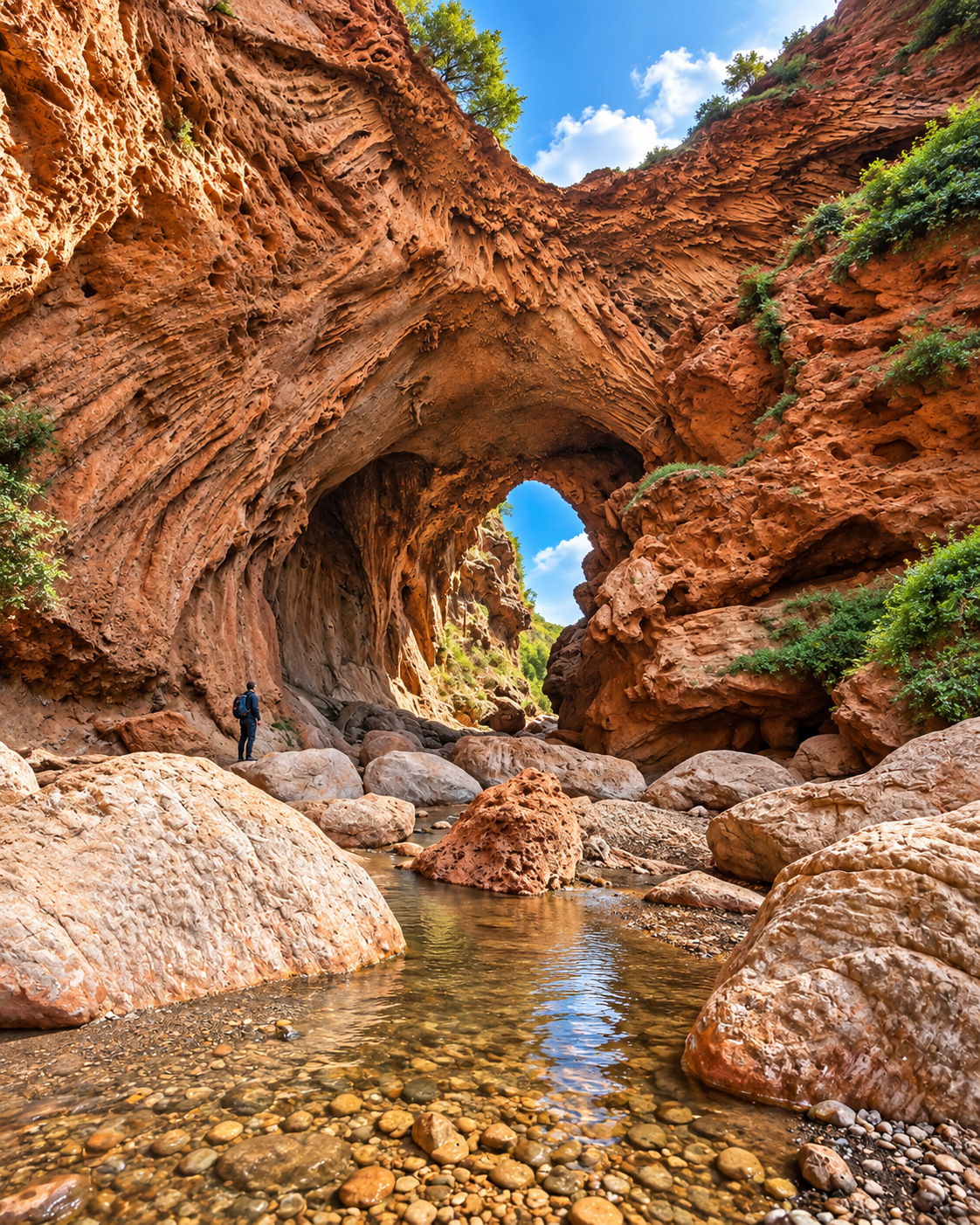
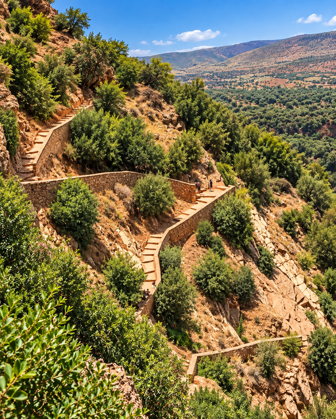
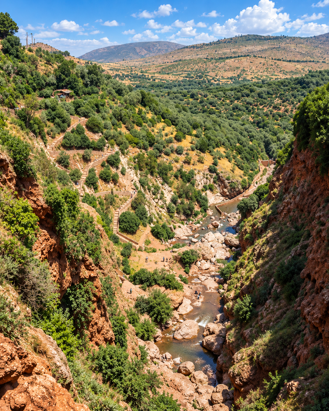
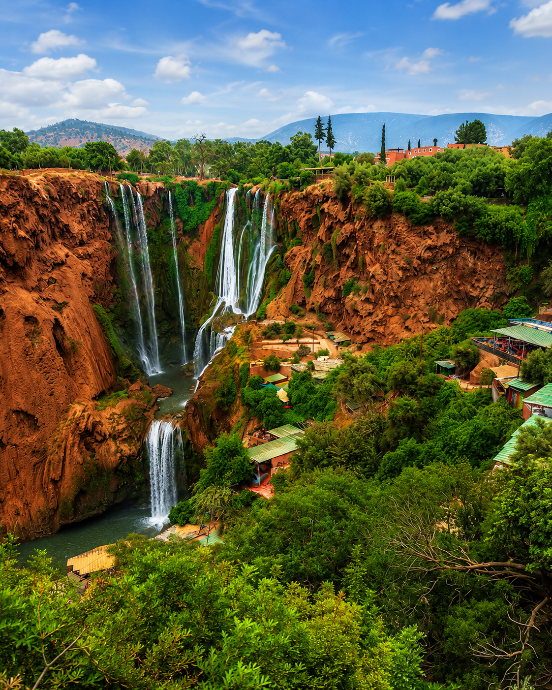
Editorial composite of Beni Mellal and regional excursions, including the kasbah, city streets and Ouzoud Waterfalls

Atlas & Tadla City of Morocco

Beni Mellal Water, kasbah views and the Atlas edge of Tadla

Beni Mellal sits where the Tadla plain meets the Atlas foothills: a city of spring water, hillside views, working markets, agricultural rhythm and routes towards Bin El Ouidane, Ouzoud and Azilal. It is best read through landscape as much as monument.

Why Beni Mellal matters

Where water meets the plain

Beni Mellal is not a museum city built around a single grand monument. Its identity comes from position: the spring and gardens of Ain Asserdoun, the kasbah above them, the fertile Tadla plain below and the mountains rising close behind the urban edge.

That geography gives the city a different authority. It belongs to Morocco’s interior routes, agricultural economies and mountain approaches, making it a useful stop for travellers who want to understand central Morocco beyond the better-known coastal and imperial circuits.

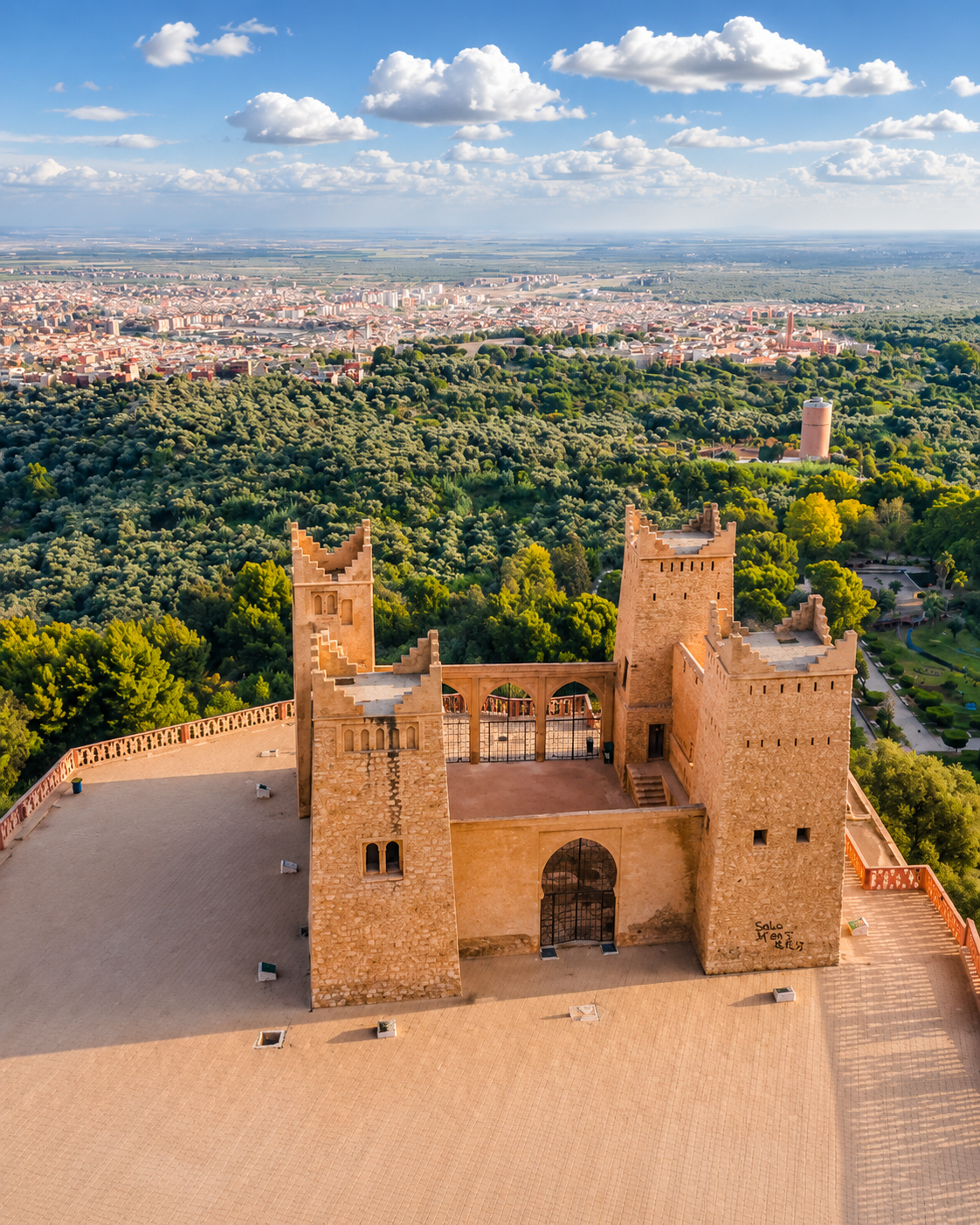
Aerial view of the Beni Mellal kasbah, green foothills and city beyond

A city of water and altitude

Beni Mellal’s character is measured in shade, slopes, spring water, market streets, orchard country and sudden views towards the Atlas.

EXPLORE

Beni Mellal

Historical orientation

From Tadla crossroads to regional capital

Beni Mellal is best understood as a meeting point between plain and mountain. The wider Tadla region has long connected agricultural land, Amazigh communities and interior routes. The fortified town is associated with the late seventeenth century; the modern city later grew into the capital of the Beni Mellal-Khenifra region. The kasbah above Ain Asserdoun makes the relationship between spring, hillside and plain especially clear.

01Before the modern city

Older Tadla landscapes

The plain and foothills around present-day Beni Mellal were shaped by water, seasonal movement, cultivation and routes linking the interior to mountain valleys.

02Late 17th century

The fortified town

The foundation of the Alaouite fortified town is generally dated to 1688. Distinguish this urban history from the present hilltop lookout at Ras el Ain above the spring.

03Modern growth

A market and agricultural centre

As the Tadla plain developed, Beni Mellal became a working regional centre where markets, services, orchards and road links connect city life to rural production.

04Today

Gateway to Beni Mellal-Khenifra

The city now functions as a practical base for Atlas-edge travel, with routes towards Bin El Ouidane, Ouzoud, Azilal and the wider mountain landscapes of central Morocco.

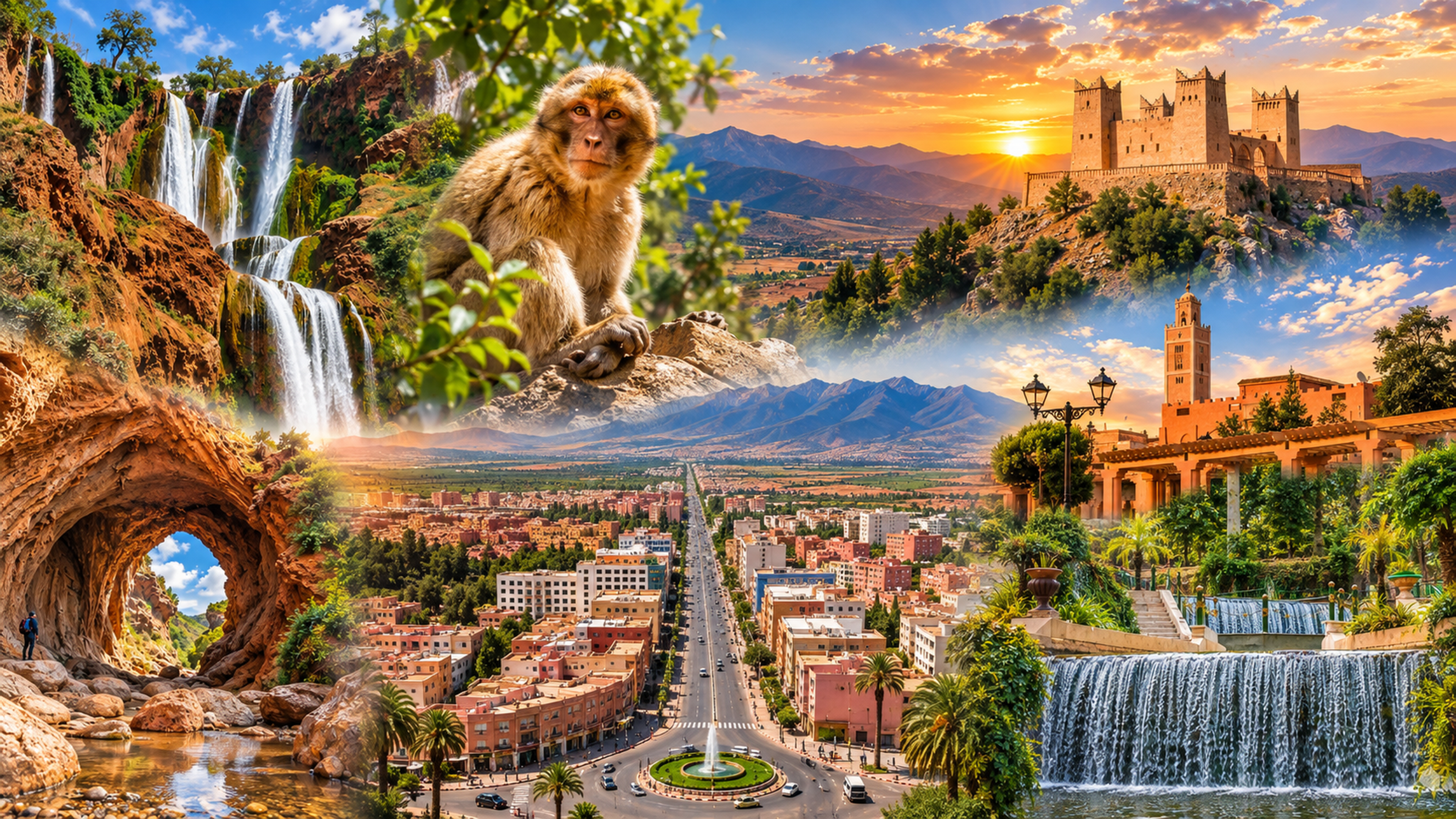
A visual bridge

Three glimpses between water and mountain

These images frame the way to read Beni Mellal: not as a monument-heavy city, but as a place where spring water, hillside views and lived streets explain the urban rhythm.

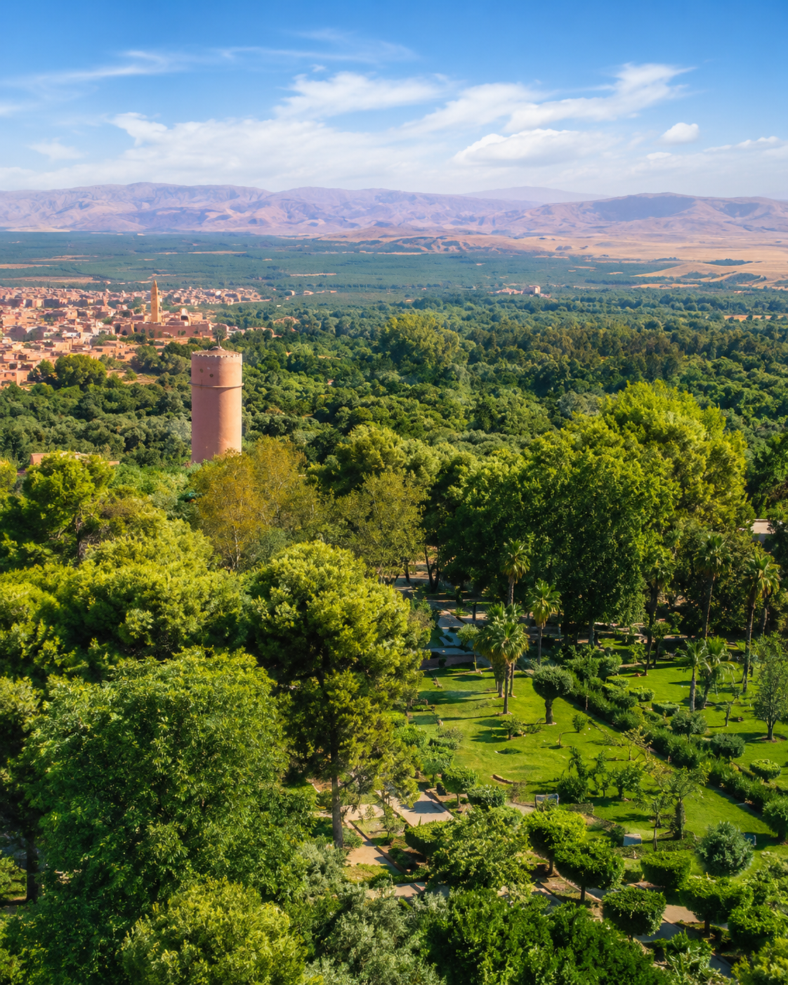
Green gardens and a tower overlooking the Tadla plain at Beni Mellal

Tadla memory

The city’s story sits inside older plain-and-mountain routes rather than a single showpiece monument.

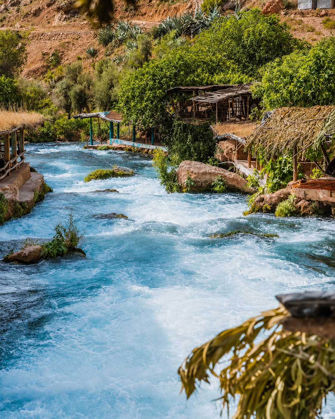
Fast-flowing turquoise water between rocky banks and mountain vegetation

Water and movement

Spring gardens in the city and river valleys beyond it give the wider region its water-shaped geography.

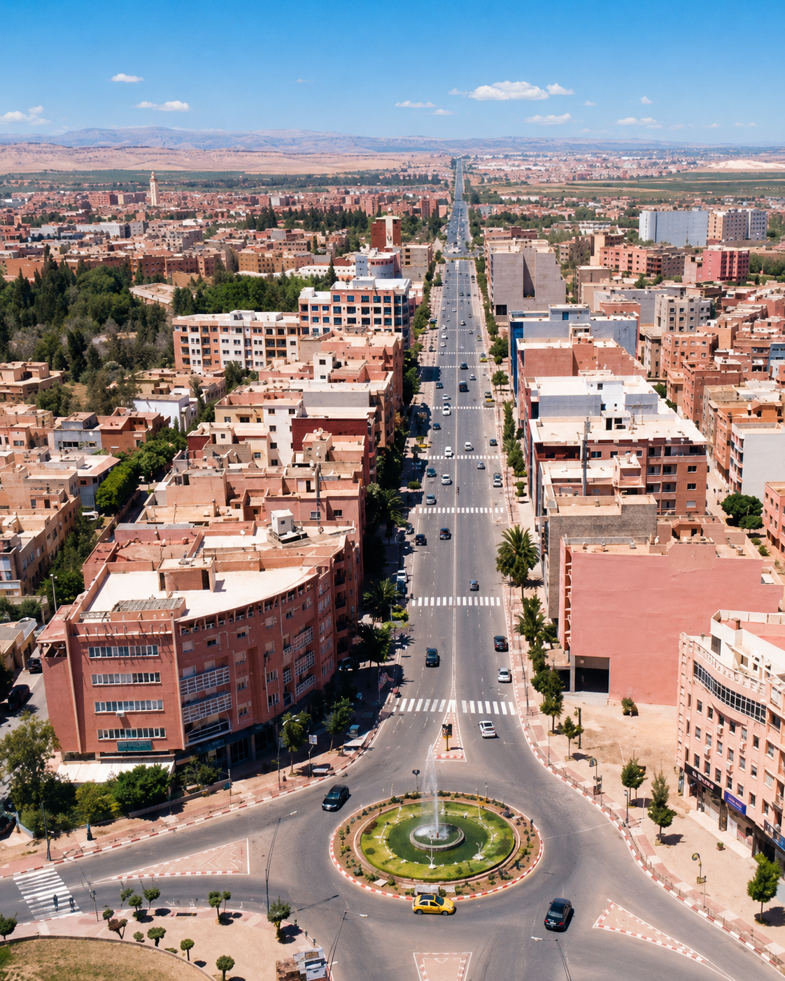
A broad Beni Mellal boulevard leading from a landscaped roundabout towards the plain

Everyday centre

The city centre connects neighbourhoods, shops and everyday travel with the agricultural plain.

Beni Mellal at a glance

Regional capital

Beni Mellal is the capital of the Beni Mellal-Khenifra region, a central Moroccan area promoted for mountain landscapes, cultural heritage and nature tourism.

Ain Asserdoun and the kasbah

The city’s key reading begins at the spring, gardens and hillside kasbah, also known as Borj Ras el Ain, where water, shade, lookout and plain meet in one view.

Plain and mountain

The Tadla plain gives the city its agricultural base, while the nearby Atlas foothills make landscape part of daily orientation rather than a distant excursion.

Nearby nature routes

Bin El Ouidane, Ouzoud and Azilal extend a visit into lake, waterfall, valley and mountain country; they work best with time, transport and realistic planning.

A clearer reading of the city

A city shaped by water, work and altitude

To understand Beni Mellal, read the spring, the hillside, the market centre and the regional roads together. They show a city whose importance comes from landscape logic as much as built heritage.

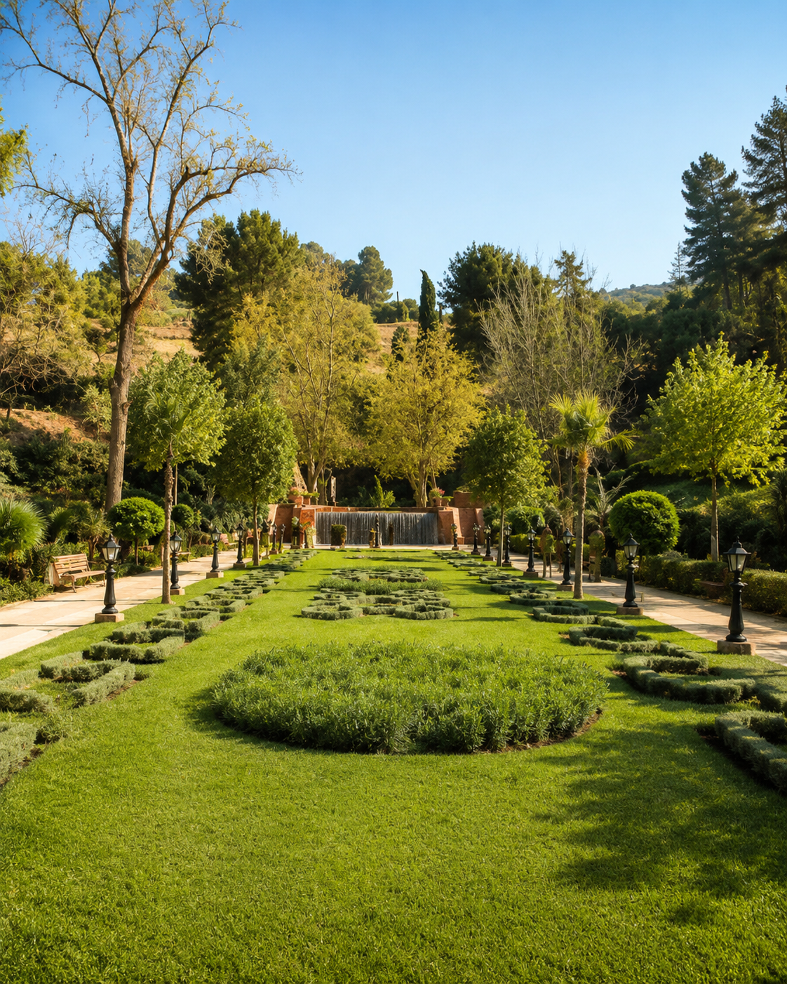
Formal planted gardens and shaded paths at Ain Asserdoun in Beni Mellal
Layer 1

Water and gardens

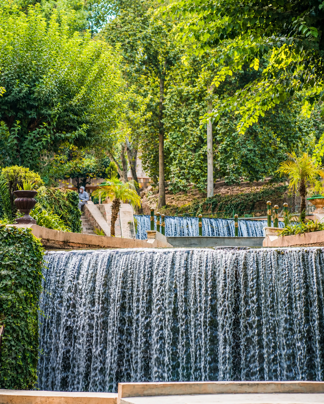
Ain Asserdoun gives the city its most memorable public landscape: spring water, garden shade, family walking space and a direct visual link between mountain and plain.

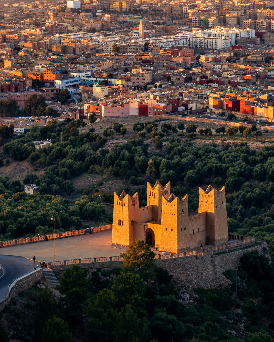
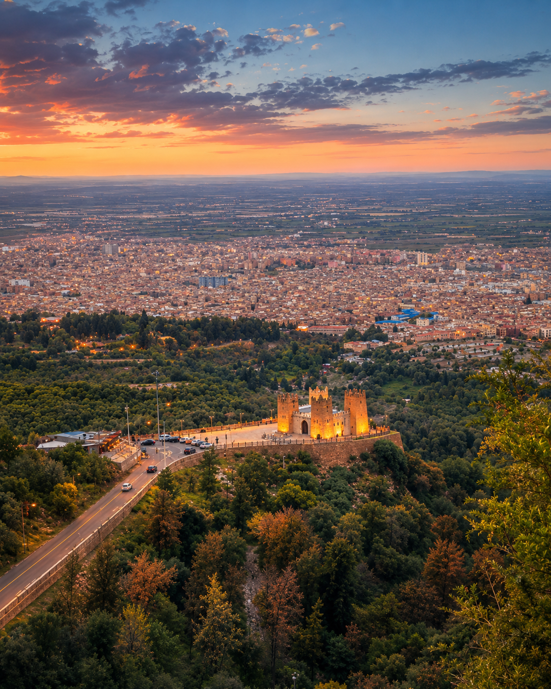
The illuminated Beni Mellal kasbah below the city at dusk
Layer 2

Hillside heritage

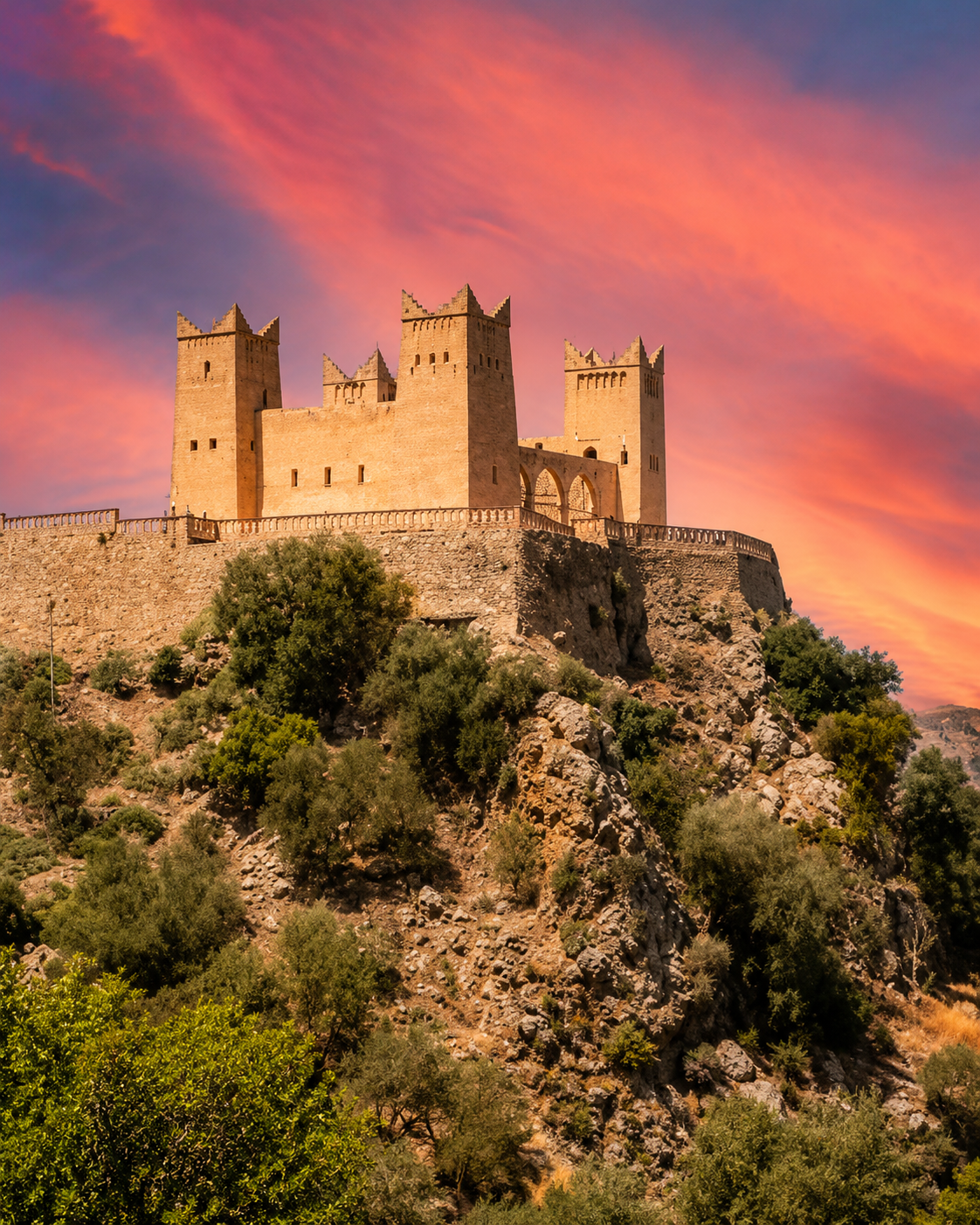
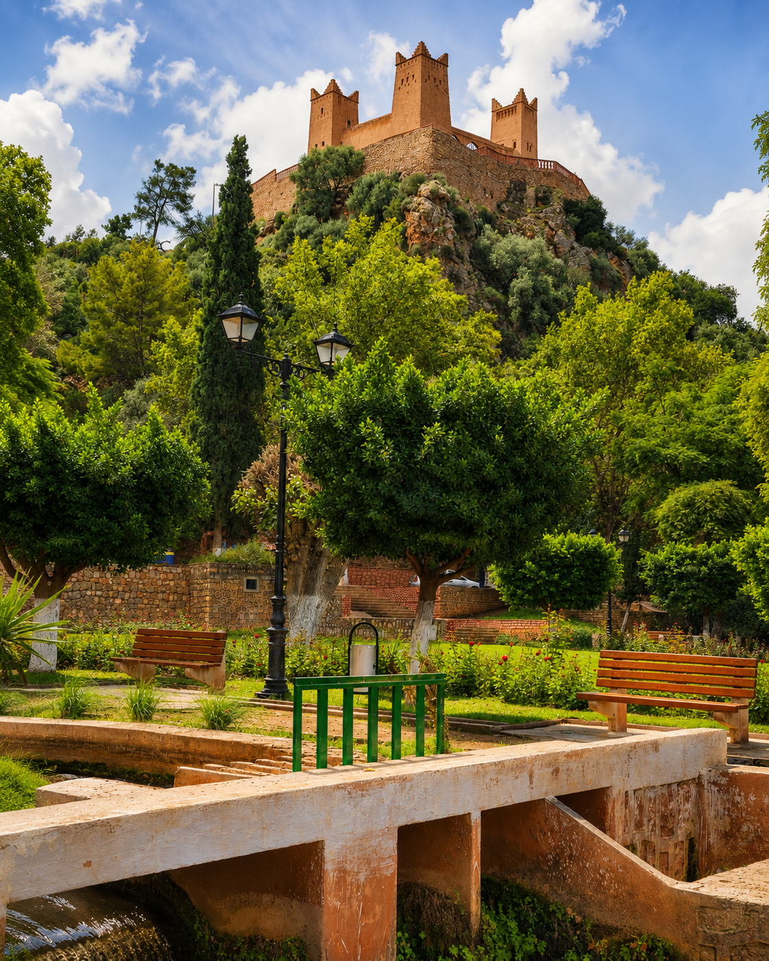
The kasbah above the spring is not just a backdrop. It explains surveillance, altitude and the need to protect water and movement across the Tadla edge.

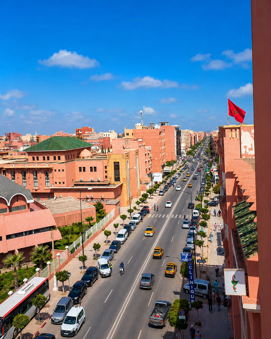
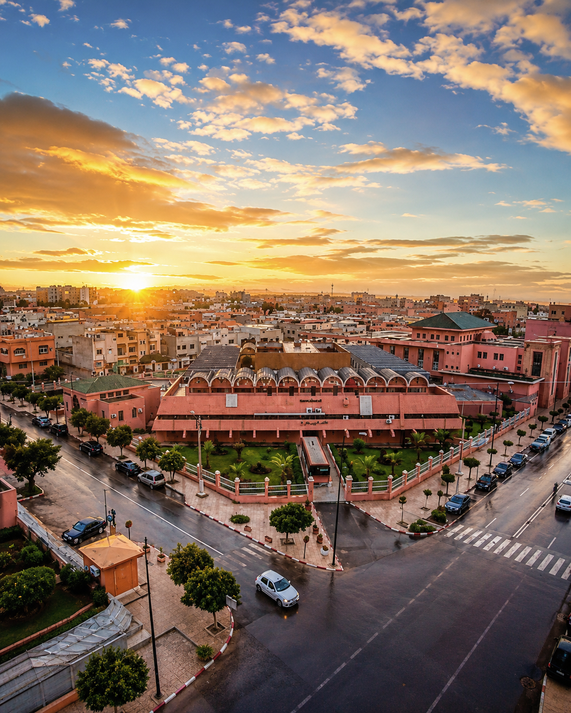
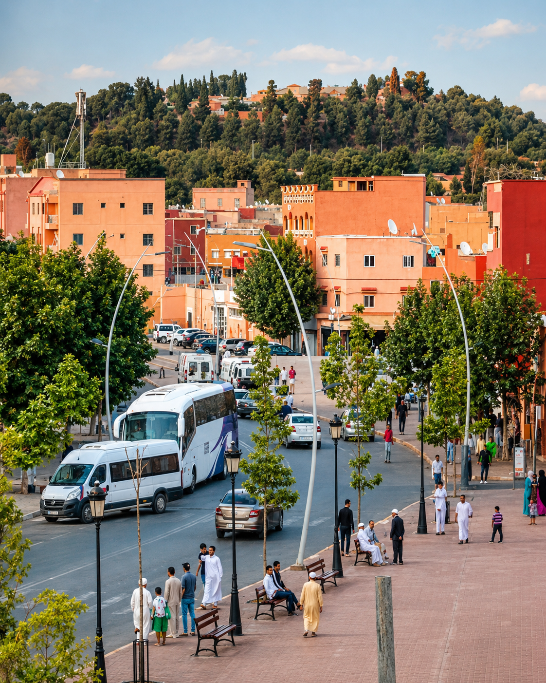
Shops, pedestrians and traffic along a central Beni Mellal street
Layer 3

Markets and agriculture

Beni Mellal’s centre is practical and lived: cafés, services, local commerce and agricultural links make the city feel regional before it feels touristic.

Landmarks & orientation

Read Beni Mellal through six defining places

Beni Mellal does not need invented monumentality. These six places and urban readings explain how the city works: water source, kasbah, viewpoints, centre, plain and routes.

1
Ain Asserdoun

The spring and garden setting most closely associated with Beni Mellal, where water creates shade, public life and the first strong sense of place.

2
Kasbah / Borj Ras el Ain

The hillside fortification above the spring, valued for its historical role and its broad view across the city and Tadla plain.

3
Ain Asserdoun gardens

Terraced greenery, paths and flowing water make this one of the city’s most accessible and locally loved public landscapes.

4
Beni Mellal centre and souk streets

A working urban centre where shops, cafés, markets and everyday movement show the city’s role as a regional capital.

5
Tadla plain viewpoints

From the heights, the city opens onto cultivated land, irrigation logic and the wide plain that has shaped its economy.

6
Atlas-edge road towards Azilal

The road out towards Azilal and mountain landscapes turns Beni Mellal from city stop into regional base.

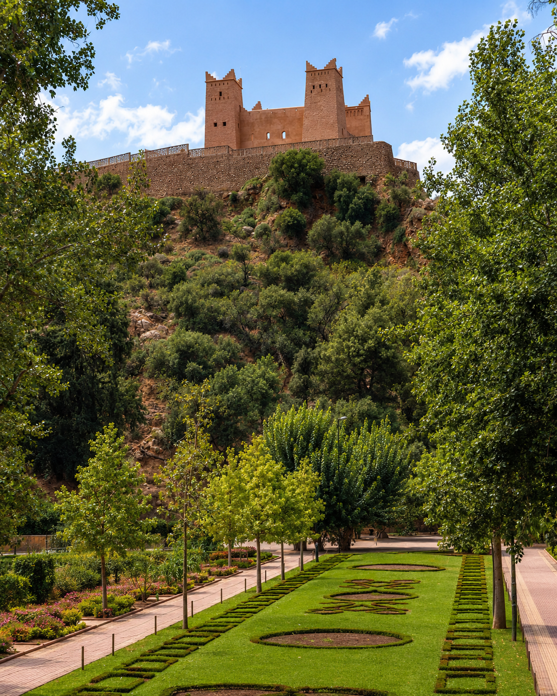
The Beni Mellal kasbah above the trees and formal gardens of Ain Asserdoun
Cascading spring water and lush trees at Ain Asserdoun in Beni Mellal

Ain Asserdoun focus

Ain Asserdoun — water, shade and the city’s first reading

Ain Asserdoun is the clearest entry into Beni Mellal’s identity. The spring, gardens and hillside kasbah bring water, shade, altitude and memory into one place. Seen slowly, the site explains why the city belongs equally to the Tadla plain and to the Atlas foothills: it is a place of resource, refuge, viewpoint and everyday local use.

  • The spring and gardens show how water has shaped the city’s comfort, agriculture and public life.
  • The climb towards the kasbah explains the relationship between hillside control and plain-wide visibility.
  • The site is also a local family space, so slow movement and respectful photography matter.

Architectural reading

Three architectural languages to notice

Fortified mass and viewpoint

Beni Mellal’s kasbah speaks through position: thick walls, simple volumes and a hillside command of the plain. Its architecture is less decorative than territorial, built to be read with the spring below and the city beyond.

Water, terraces and shade

The city’s most memorable public space is organised by water. Gardens, slopes, channels, shade and paths turn Ain Asserdoun into a living landscape rather than a closed monument.

Modern regional fabric

Beni Mellal’s centre mixes ordinary streets, markets, cafés, services and residential movement. Its value for visitors lies in observing a functioning regional city without forcing it into a heritage-city script.

Visual atmosphere

City light and the wider mountain landscape

Nearby highlights

Nearby landscape and regional routes

Beni Mellal works best when the city is paired with its surrounding landscapes. The main extensions move towards mountain water, valleys and Atlas-edge routes: Bin El Ouidane, Ouzoud and Azilal.

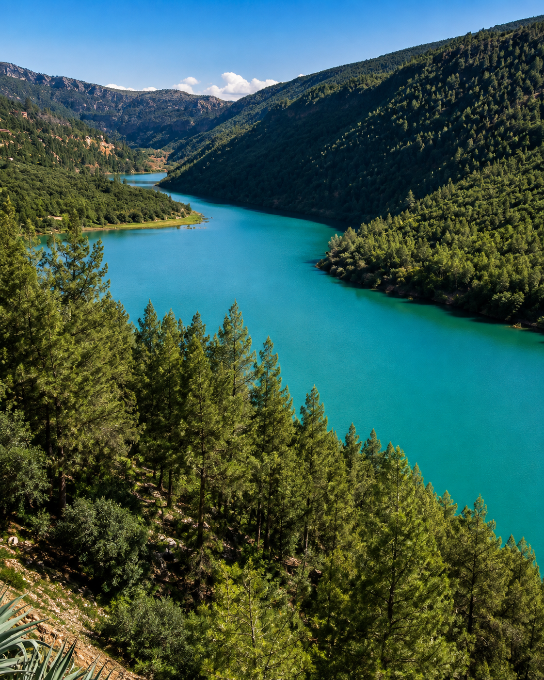
Bin El Ouidane

A mountain reservoir landscape where water, engineering, valleys and quiet viewpoints give the region a very different mood from the city centre.

Turquoise water winding between wooded slopes at Bin el Ouidane

Ouzoud Waterfalls

One of central Morocco’s major natural sites, usually planned as a separate excursion rather than a quick add-on to the city itself.

Ouzoud Waterfalls descending over red cliffs into a green valley

Azilal and Atlas villages

Azilal opens the journey towards valleys, villages and mountain roads. It is the natural continuation for travellers using Beni Mellal as a regional base.

A tree-lined Azilal street with warm-coloured buildings and a wooded hillside
Travel note: opening hours, access rules, restoration work, transport conditions and local visitor arrangements can change. Check current official or trusted local information before travelling.

Practical orientation

How to experience Beni Mellal well

  • Start with Ain Asserdoun in the morning or late afternoon, when shade, water and views are easier to enjoy.
  • Continue to the kasbah viewpoint so the relationship between spring, city and plain becomes clear.
  • Treat the centre and souk streets as working urban fabric, not as a staged monument zone.
  • Use a car, trusted driver or organised transport for Bin El Ouidane, Ouzoud and Azilal routes.
  • Avoid compressing the city, the lake and the waterfalls into one rushed day if you want the region to make sense.

A strong first visit

Ain Asserdoun garden terraces beneath the Beni Mellal kasbah

Begin at Ain Asserdoun, rise towards the kasbah viewpoint, return to the city centre for markets and cafés, then save Bin El Ouidane or Ouzoud for a separate regional day.

The illuminated Beni Mellal kasbah and the city spreading across the plain at sunset

Go deeper with Exotic Morocco

Beni Mellal — Premium Visual City Guide

Continue with a visual guide approach that connects the city’s water, hillside kasbah, Tadla plain, practical orientation and nearby Atlas routes into one carefully structured journey.

✓ Tadla context✓ Key places ✓ Kasbah & landscape✓ Markets & local life ✓ Practical travel guidance✓ Nearby nature routes

Continue the journey

Continue the journey through Beni Mellal

Look beyond Morocco’s famous city circuits and encounter a central Moroccan city of spring water, hillside views, working streets, agricultural plains and Atlas-edge journeys.