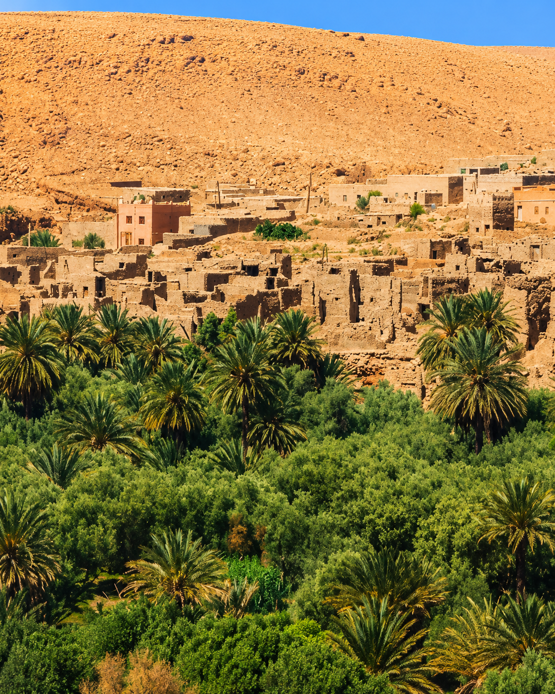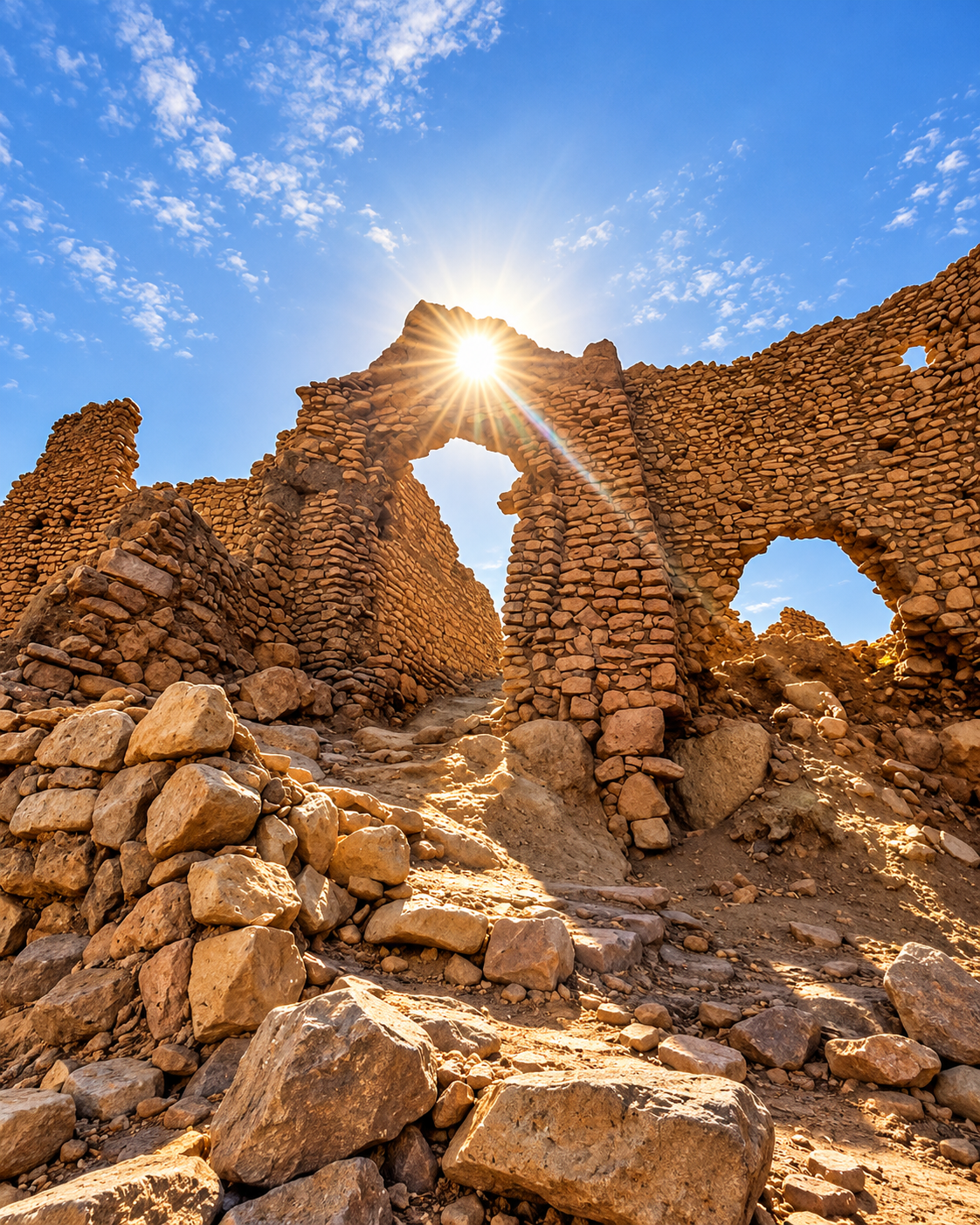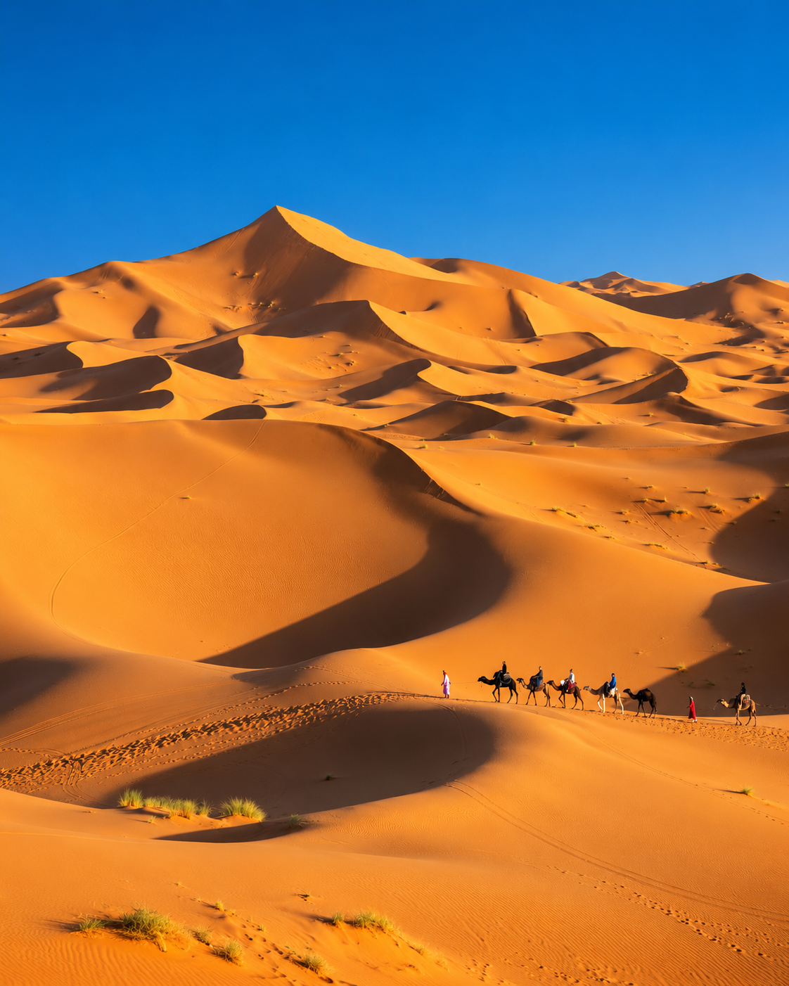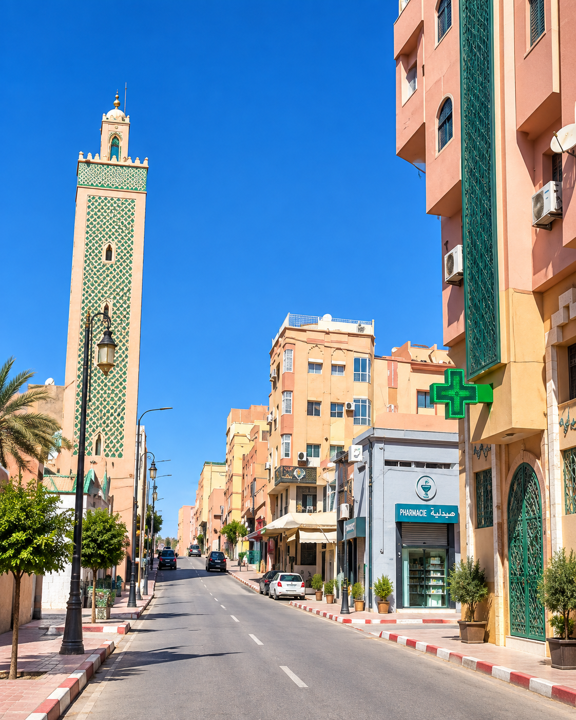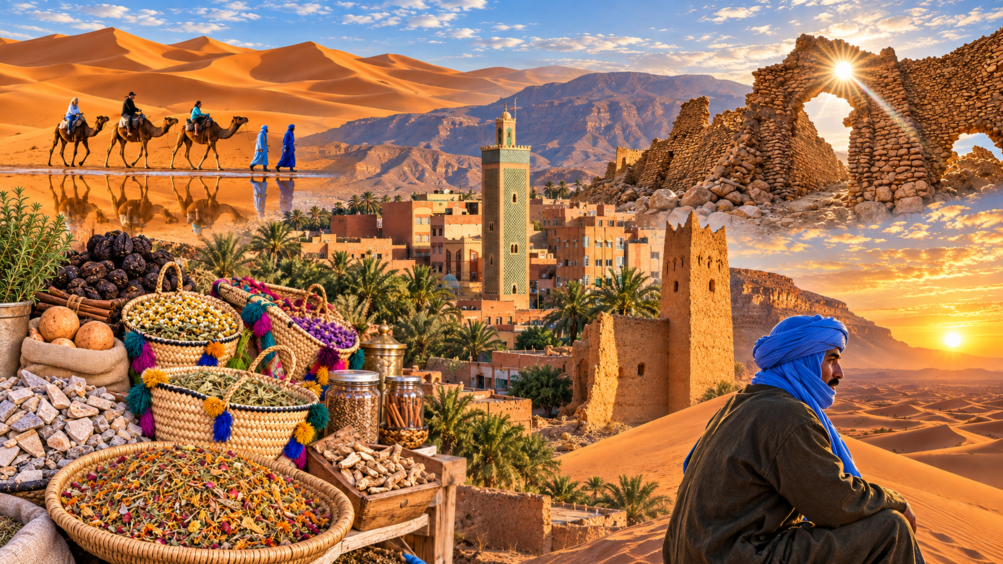
Editorial panorama of southeast Morocco used for Errachidia, with oasis town, dunes, caravan and earthen architecture

Gateway to the Ziz Valley

Errachidia Oasis capital between Atlas roads and Tafilalt

Errachidia is the administrative heart of Drâa-Tafilalet and a practical threshold to the Ziz Valley: a city of palms, mountain horizons, reservoir water and onward routes toward Tafilalt and the Sahara.

Errachidia matters less for a single monument than for its position. The city sits on the Ziz corridor, where rocky approaches give way to palm belts, irrigated ground and the long southbound route through Tafilalt.

Where the Atlas opens into oasis country

It is also the capital of the Drâa-Tafilalet region. Administration, markets and everyday urban life sit close to reservoir landscapes, ksour, springs and date-growing country, making the city a useful base for understanding how water and movement shape southeastern Morocco.

Read it as a threshold city. Administrative streets, cafés, markets and university life sit close to gorges, springs, date palms and earth-coloured settlements. The value of a visit is in understanding how water, distance and movement organise life here.
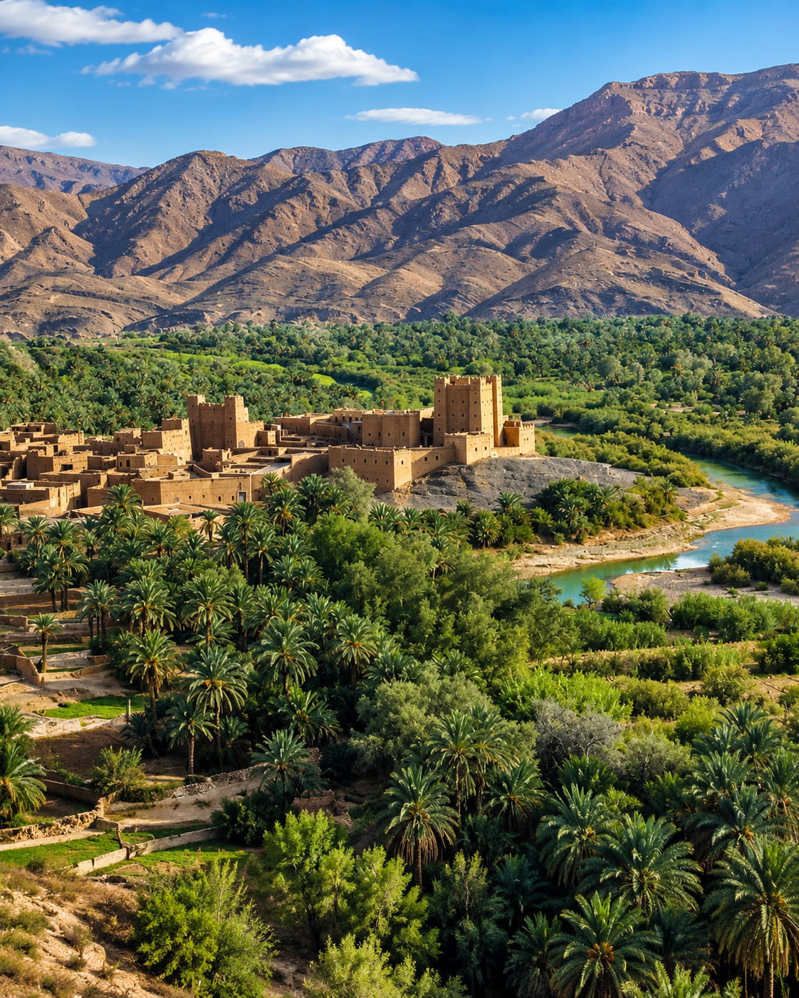
Oasis settlement and river in the Ziz Valley near Errachidia

A city of water, passage and restraint

Errachidia is read through contrasts: blue water and bare plateau, green palms and ochre earth, practical streets and wide southern horizons.

EXPLORE

Errachidia

Historical orientation

From Ksar es-Souk to a regional capital

Errachidia was formerly known as Ksar es-Souk. Its modern identity developed as a planned administrative centre on the Ziz corridor; the present name dates from the 1970s, and the city now serves as the capital of Drâa-Tafilalet and a principal gateway to Tafilalt.

01Earlier identity

Ksar es-Souk

The former name points to a market-and-route setting. Exchange, oasis settlement and movement along the Ziz corridor remain central to the city’s identity.

0220th century

A planned administrative centre

Straight streets, public institutions and service functions gave the city a different urban rhythm from the older ksour and oasis settlements around it.

031976

The Errachidia name

The city adopted the name Errachidia in the mid-1970s, marking a new chapter while the older Ksar es-Souk name remained part of local memory.

04Today

Capital of Drâa-Tafilalet

Regional institutions are based in Errachidia, reinforcing its role as an administrative and service centre for a vast territory of mountains, oases and desert-edge routes.

Errachidia becomes clearer when the urban centre is read together with the landscapes around it: the city itself, the green logic of water, and the mountain roads that funnel movement through the Ziz corridor.

Three glimpses between city, water and road

These views explain Errachidia better than any single monument: the green line of the Ziz, the shade of Meski, and the open roads that pull the city toward Tafilalt and the Sahara edge.

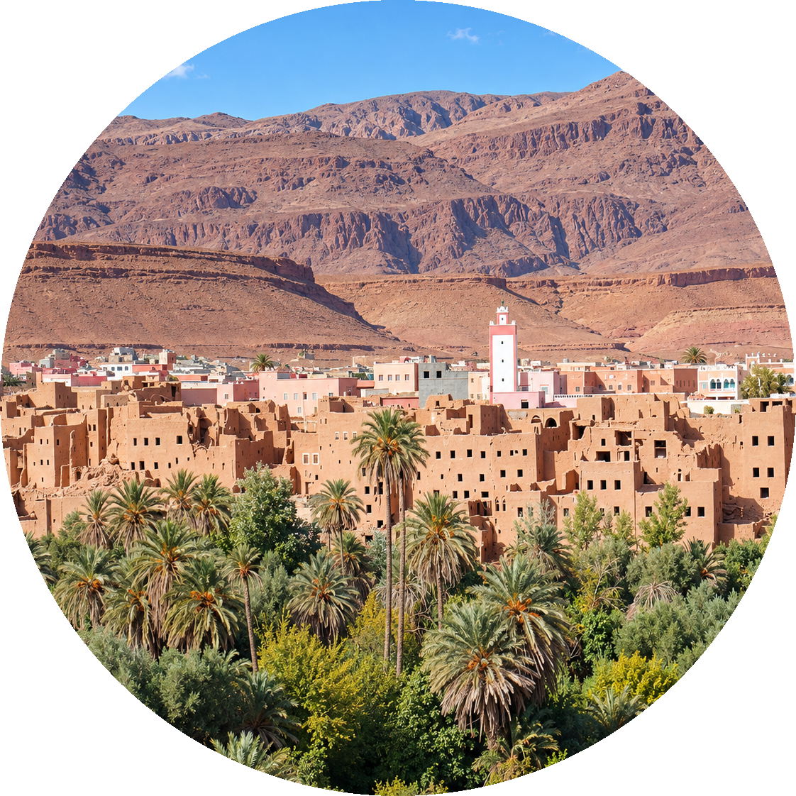
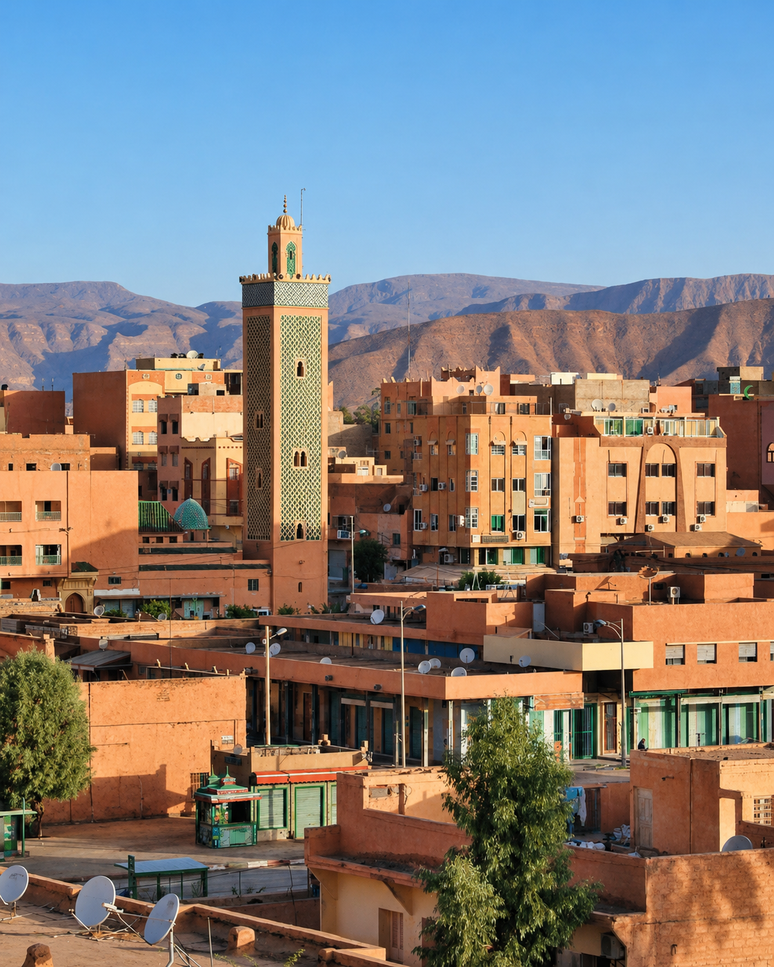
Errachidia cityscape with mosque minaret and mountain backdrop

City and mountain edge

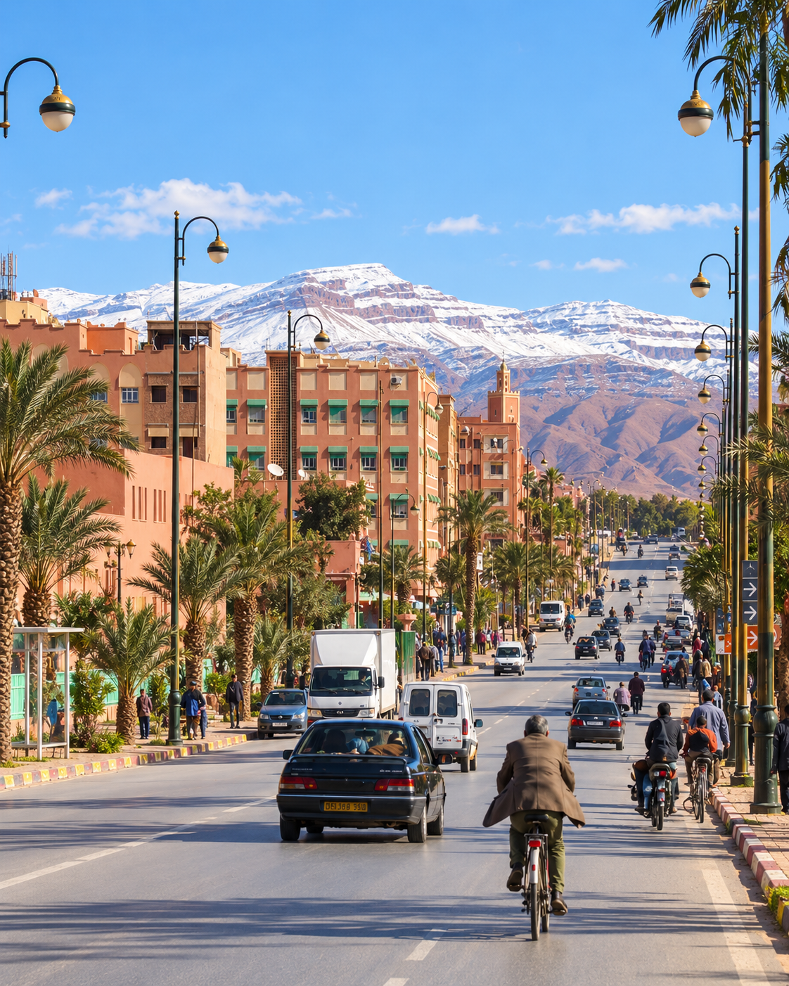
The modern city rises against austere relief, with palms and minarets softening the transition.

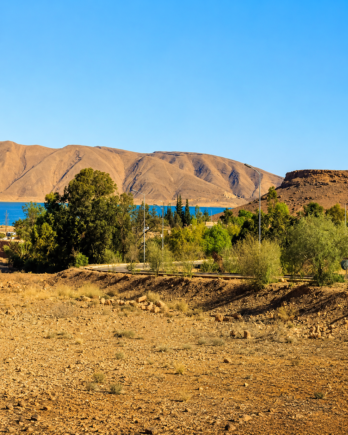
Reservoir and vegetation in the dry landscape near Errachidia

Water in dry country

Reservoirs, river water and irrigated ground make settlement possible in a landscape defined by aridity.

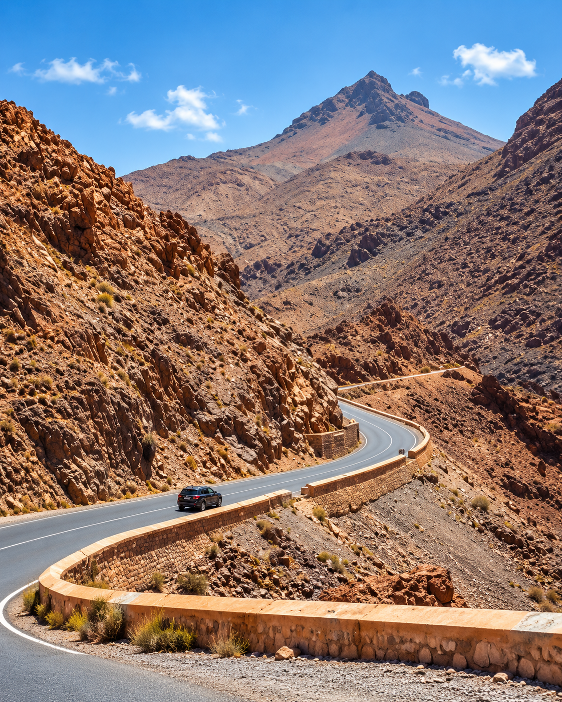
Road winding through rocky Ziz gorge terrain near Errachidia

The gorge road

Winding roads through the Ziz gorges show how travel follows geology before the valley opens farther south.

Errachidia at a glance

Regional capital

Errachidia is the administrative centre of Drâa-Tafilalet, giving it a practical role far larger than its compact urban core suggests.

Ziz Valley setting

The wider city identity is tied to the Oued Ziz, palm groves, irrigated pockets and the reservoir landscape upstream.

A modern urban rhythm

This is not an imperial medina city. Its centre is lived-in and functional, with broad streets, markets, services and daily movement.

Gateway to Tafilalt

Meski, Aoufous, Erfoud, Rissani and Merzouga follow naturally in the same southbound geography, but they remain distinct places rather than city sights.

To understand Errachidia, read the city together with the valley system around it. Water explains the greenery, roads explain its regional role, and markets connect the urban centre to the date-growing and oasis landscapes farther south.

A city shaped by water, routes and everyday service

To understand Errachidia, read the city together with its valley system. The streets are useful, the landscape is expressive, and the visitor experience comes from moving between the two without turning the city into a shortcut only.

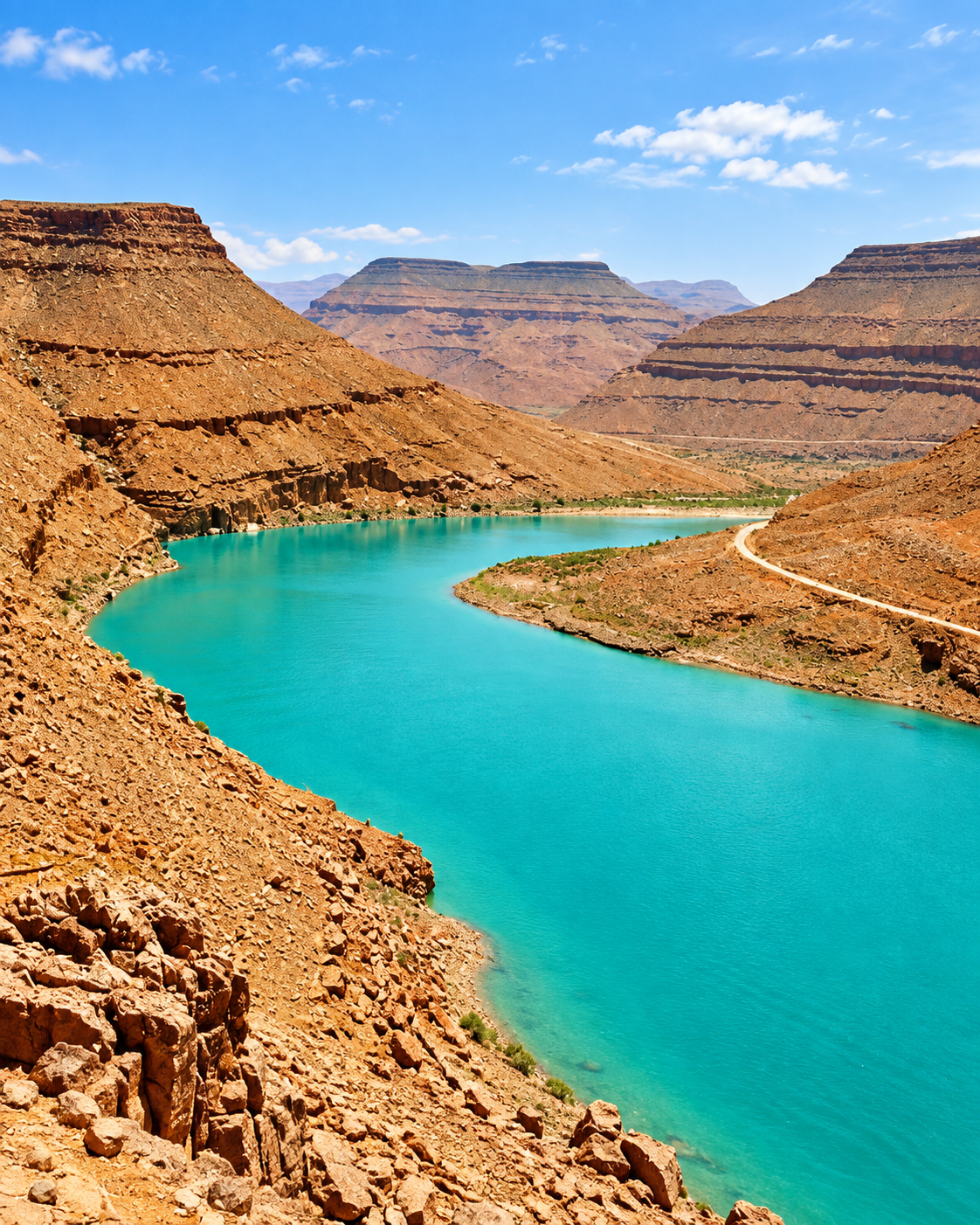
Turquoise reservoir water among arid mountains near Errachidia
Layer 1

Water systems

The Oued Ziz and nearby reservoir landscapes make the region’s green corridors possible, turning water into the first key for reading settlement.

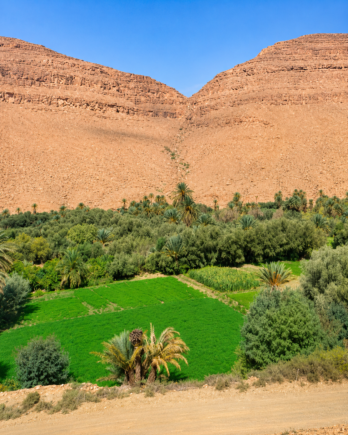
Irrigated green fields and palms along the Ziz Valley
Layer 2

Oasis agriculture

Palms, irrigated plots and small fields show how shade, cultivation and carefully managed water create a productive ribbon through dry terrain.

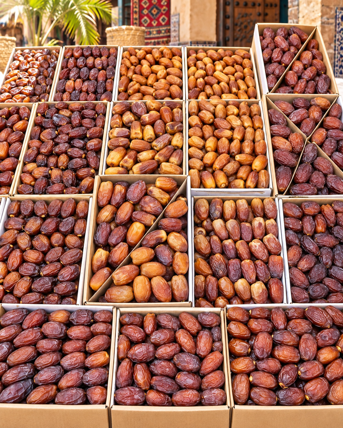
Varieties of dates displayed at a regional market
Layer 3

Dates and regional exchange

Dates are inseparable from the wider Tafilalt economy. In Errachidia, markets and road links connect oasis production to a broader regional service centre.

Landmarks & orientation

Read Errachidia through six defining places

Errachidia is best understood through orientation points rather than one dominant monument. These places connect the city centre to water, regional administration, oasis settlement and the Ziz landscape.

1
Oued Ziz corridor

The river valley is the region’s green line, linking palms, cultivated ground and settlements through otherwise arid terrain.

2
Hassan Addakhil reservoir

The reservoir north of the city creates a striking blue counterpoint to the surrounding mountains and is part of the wider Ziz water system.

3
Avenue Moulay Ali Cherif

A principal urban axis associated with regional institutions and everyday city movement, useful for reading Errachidia as a working capital rather than a heritage set piece.

4
Ziz gorge viewpoints

Cliffs, bends and road viewpoints north of the city reveal the physical structure of the corridor before it widens around Errachidia.

5
Source Bleue de Meski

About 20 km southeast of Errachidia, the spring is a shaded oasis stop where water emerges against palms and ochre rock.

6
Ksar Meski ruins

Near the spring, the surviving fortified ruins add an older settlement layer to a landscape otherwise dominated by modern roads and oasis agriculture.

Earthen settlement, palms and minaret in the Errachidia region
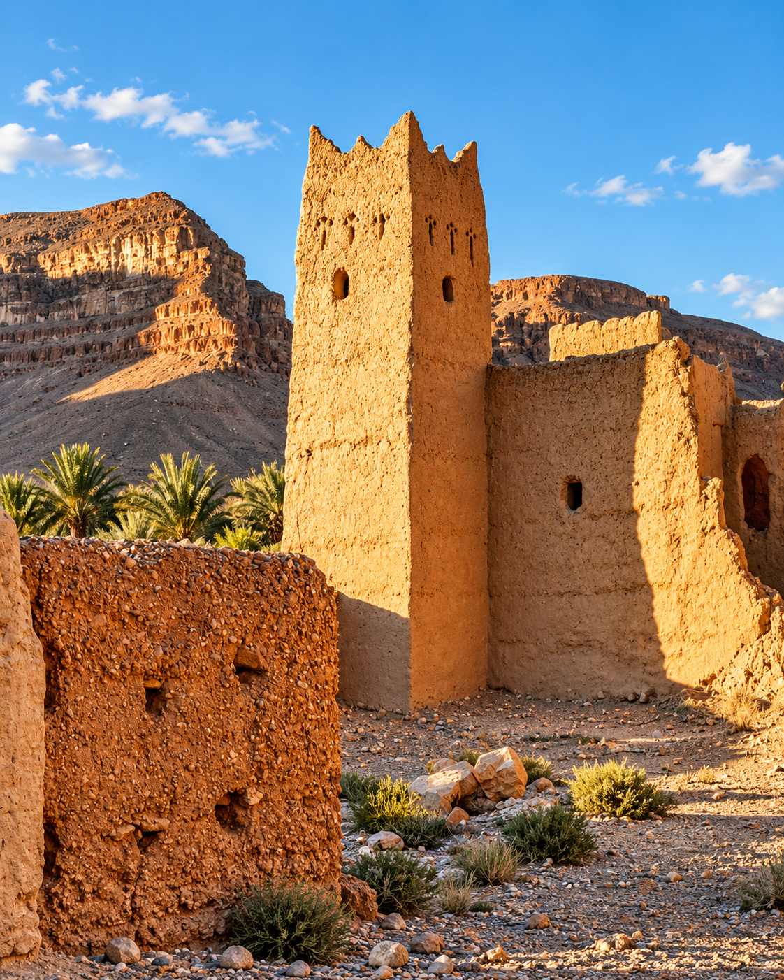
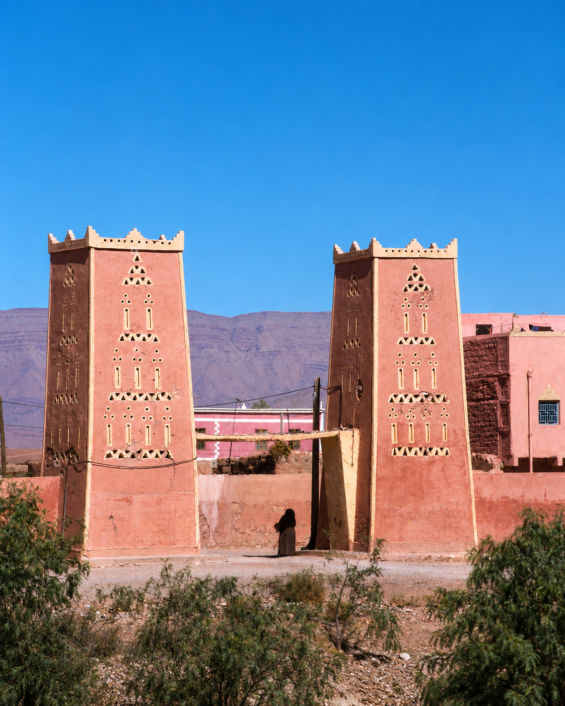
Earthen tower and mountain landscape in the Ziz-Tafilalt region

Earthen identity

Oasis architecture — shade, enclosure and the logic of earth

Beyond Errachidia’s modern street plan, the surrounding Ziz and Tafilalt landscapes are rich in earth-built settlements and ksour. Their thick walls, compact forms and close relationship to palms and cultivated ground show architecture responding directly to heat, water and security.

  • Earth tones visually bind buildings to the surrounding cliffs and plateau.
  • Compact forms and shaded passages reduce exposure to heat and glare.
  • Ksour around the wider region preserve community-scale settlement patterns that predate the modern city.

Architectural reading

Three architectural languages to notice

Modern civic grid

Errachidia’s broad streets and public buildings express its twentieth-century administrative role more clearly than the dense medina morphology found in Morocco’s older imperial cities.

Earthen oasis forms

In the surrounding corridor, pisé and earth-built walls, towers and compact ksour respond to climate, materials and the need for shade and enclosure.

Landscape as structure

Road, cliff, palm grove and waterline often dominate the visual reading. Here, geography is not scenery behind architecture; it is part of the architecture of movement.

Visual atmosphere

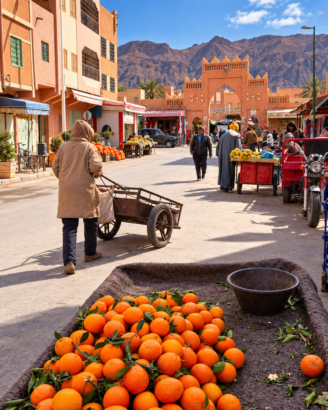
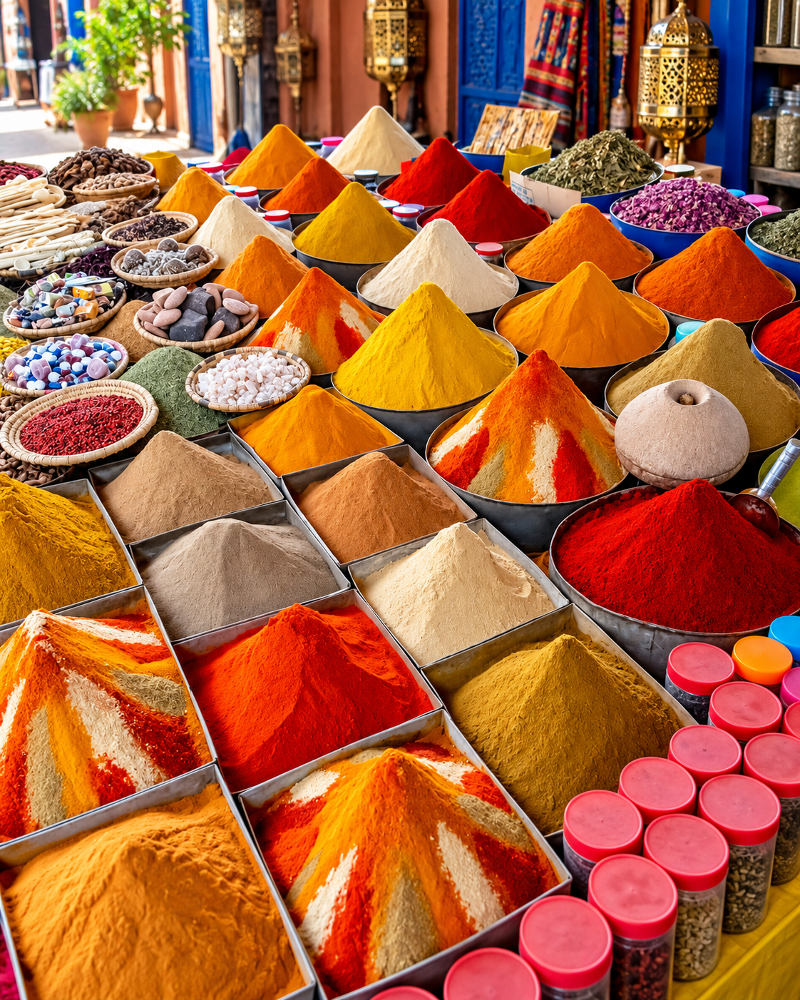
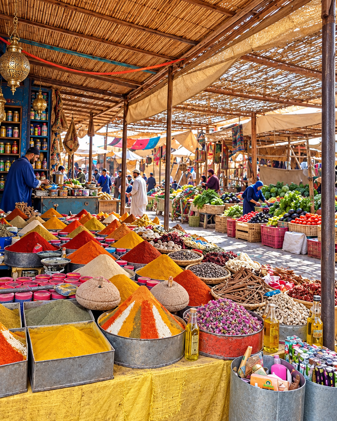
Ochre streets, market colour and Ziz horizons

Nearby highlights

Nearby oases and desert-edge routes

Errachidia works well as a base because several distinct landscapes line up naturally along the same corridor: the Ziz Valley, Meski and its fortified remains, then the wider Tafilalt route toward Merzouga.

Ziz Valley

Follow the palm corridor south of Errachidia to see how river, cliffs, fields, ksour and village life hold together in a narrow green ribbon.

Palm groves and earthen settlement along the Ziz Valley

Meski & Ksar Meski

The Blue Spring lies about 20 km southeast of Errachidia; nearby fortified ruins add an architectural layer to the palms, water and ochre rock.

Stone-built oasis ruins near Meski south of Errachidia

Merzouga & Erg Chebbi

Farther south, Merzouga opens onto the dune landscape of Erg Chebbi. Treat it as an onward desert journey rather than as part of Errachidia itself.

Camel caravan crossing the Erg Chebbi dunes near Merzouga
Travel note: opening hours, access rules, restoration work, transport conditions and local visitor arrangements can change. Check current official or trusted local information before travelling.

Practical orientation

How to experience Errachidia well

  • Use the city as a base for reading the Ziz corridor rather than judging it only by its centre.
  • Pair an urban walk with one landscape route: reservoir, gorge, Meski or palm grove.
  • Keep the desert separate: Merzouga and Erg Chebbi are onward journeys, not city sights.
  • Plan around heat and distance; early and late daylight are especially rewarding for landscape stops.
  • Check current access, road and water conditions before committing to remote detours.

A strong first visit

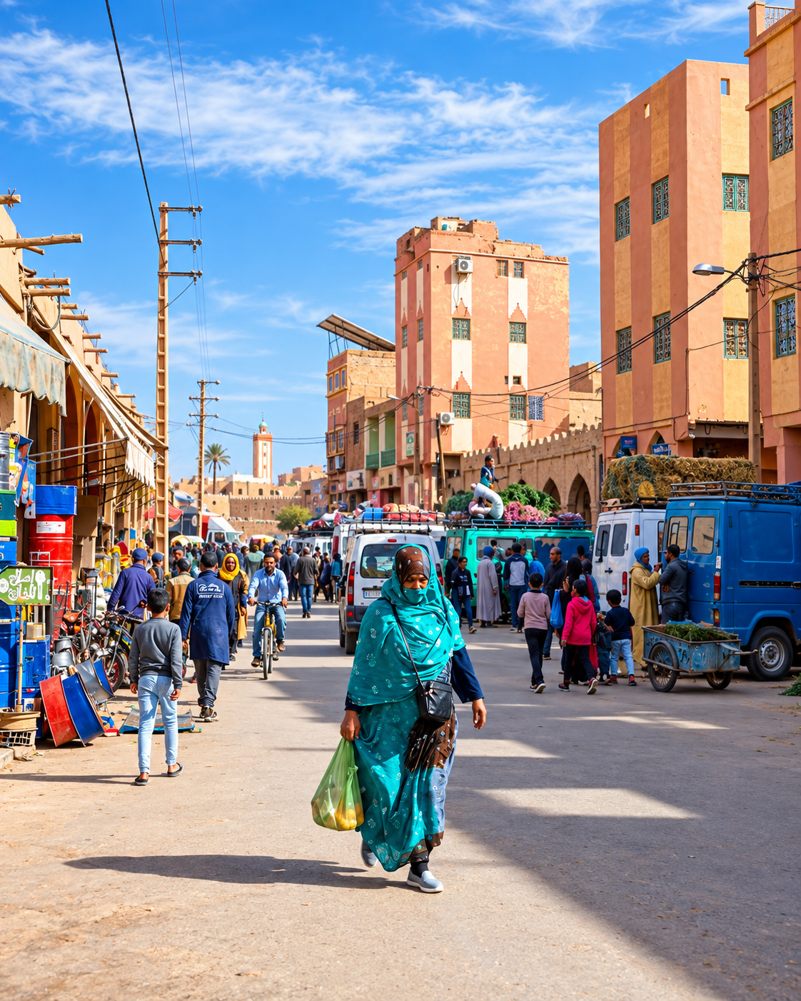
Errachidia street with minaret and urban services

Begin in the city centre to understand Errachidia’s modern administrative rhythm, then move to a Ziz viewpoint or Hassan Addakhil reservoir. Add Meski as a shaded oasis pause and reserve Tafilalt or Merzouga for a separate onward route.

Errachidia avenue with palms, city buildings and mountain backdrop

Go deeper with Exotic Morocco

Errachidia — Premium Visual City Guide

Continue with a visual reading of Errachidia’s city centre, Ziz Valley setting, water systems, oasis routes, nearby springs and desert-edge extensions, structured for travellers who want context before movement.

✓ Valley context✓ Essential orientation ✓ Water & oasis life✓ Nearby routes ✓ Practical travel guidance✓ Desert-edge extensions

Continue the journey

Continue the journey through Errachidia

Look beyond the first road pause and read a city of water, palms, administrative life, reservoir landscapes and quiet transitions toward Tafilalt.