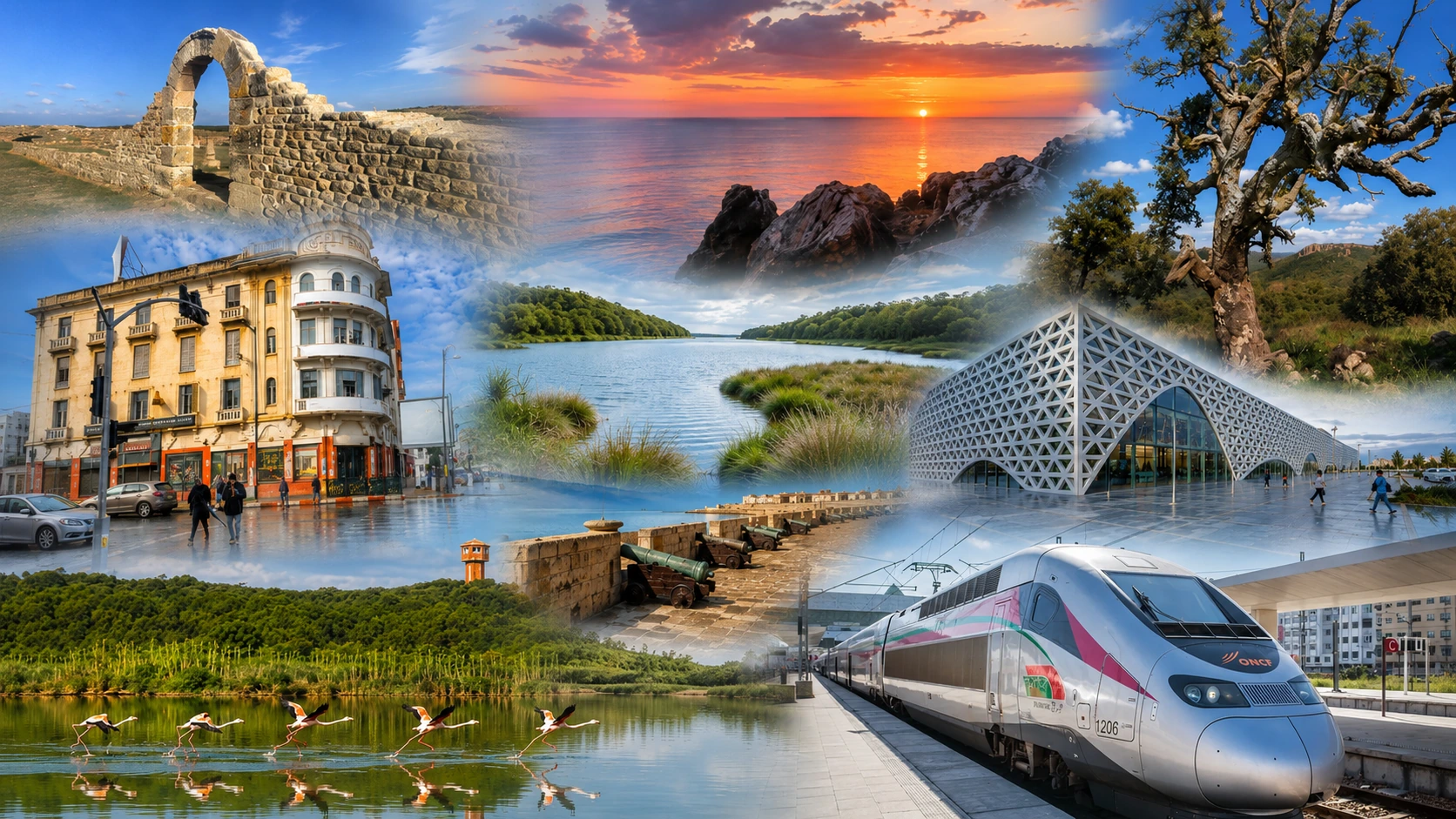
Kenitra montage with riverfront, Mehdia, wetlands, city landmarks and transport links

Atlantic Gharb City of Morocco

Kénitra Sebou river light, Atlantic edges and Gharb rhythms

Kénitra is not a city of postcard shortcuts. It is a river city on the Sebou, a Gharb gateway, a modern urban centre with an Atlantic horizon, Mehdia nearby and protected nature at Sidi Boughaba and Maâmora. Read it through water, movement, everyday life and the landscapes around it.

Why Kénitra matters

Where the Sebou meets the Atlantic imagination

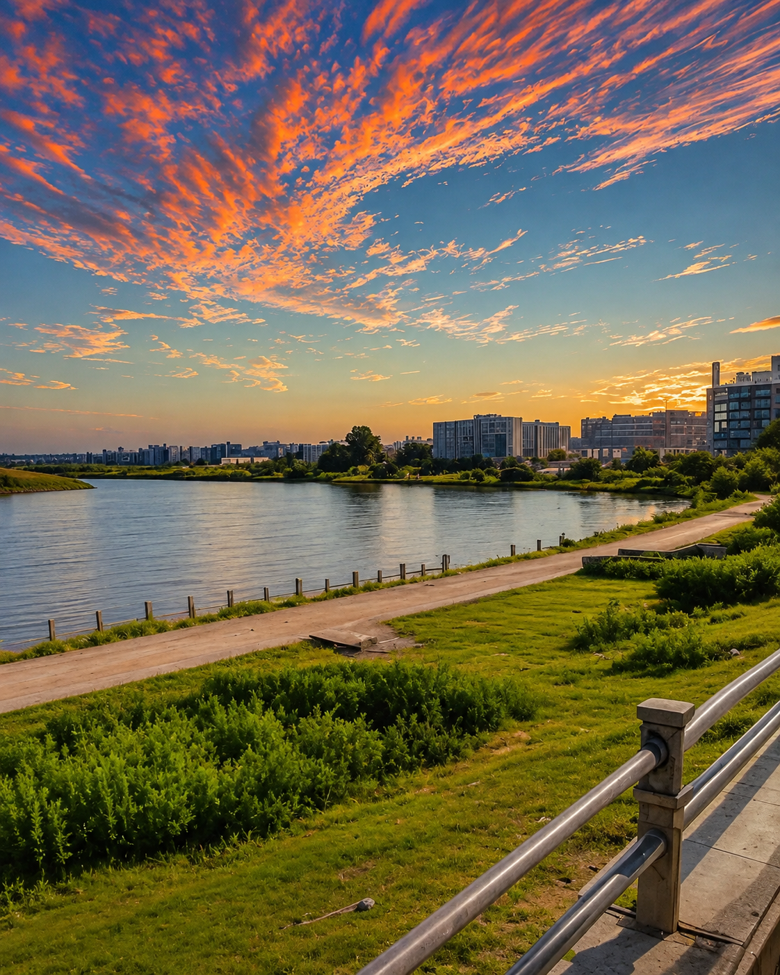
Kénitra’s identity begins with the Sebou. The river bends through the city before continuing toward Mehdia and the Atlantic, connecting urban movement with the rich agricultural Gharb plain.

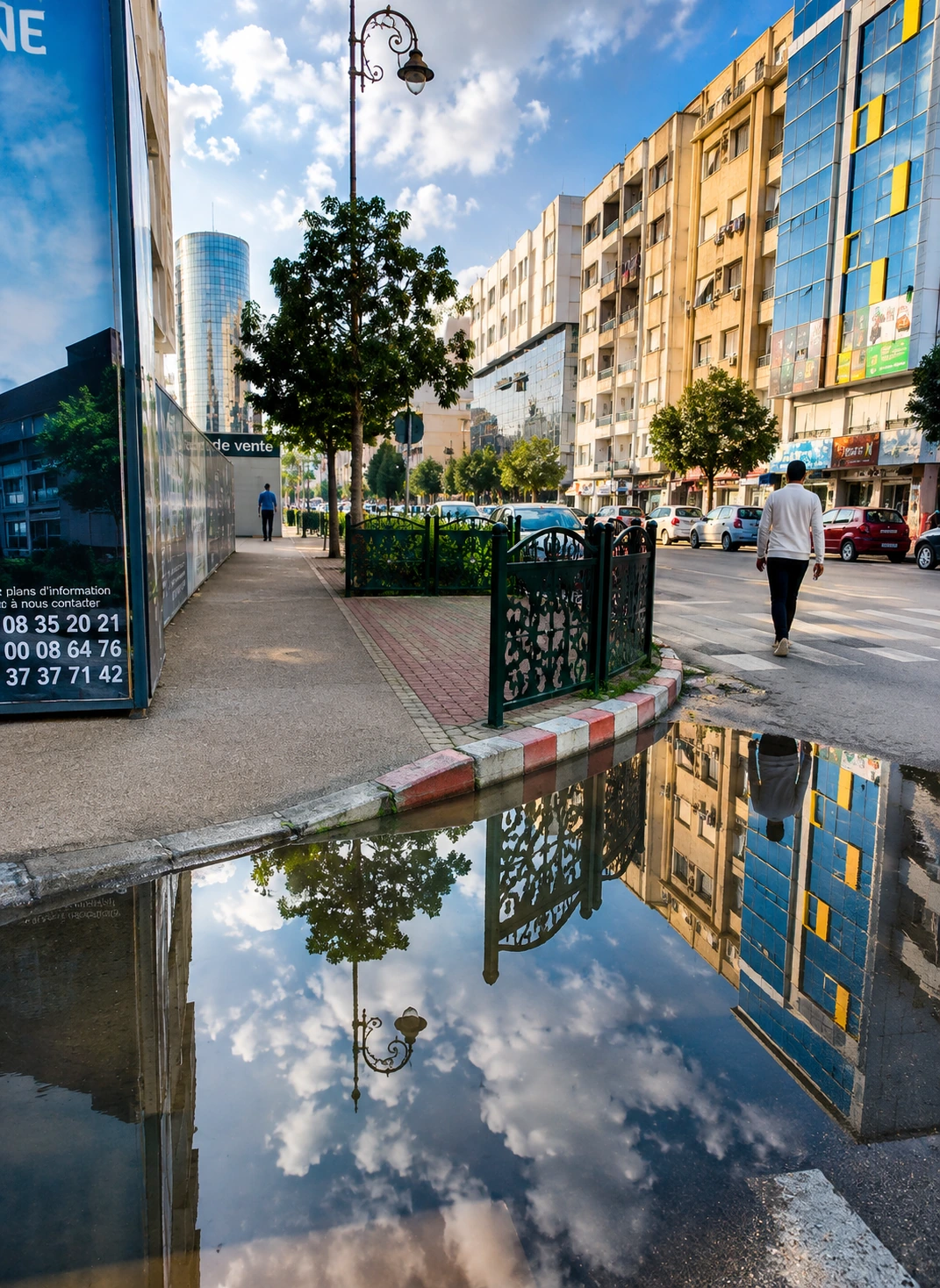
It is not an ancient medina city in the imperial sense. Its modern shape is tied to the twentieth-century river port, Port-Lyautey memory, rail and road movement, industries and the green edges that make the surrounding region surprisingly varied.

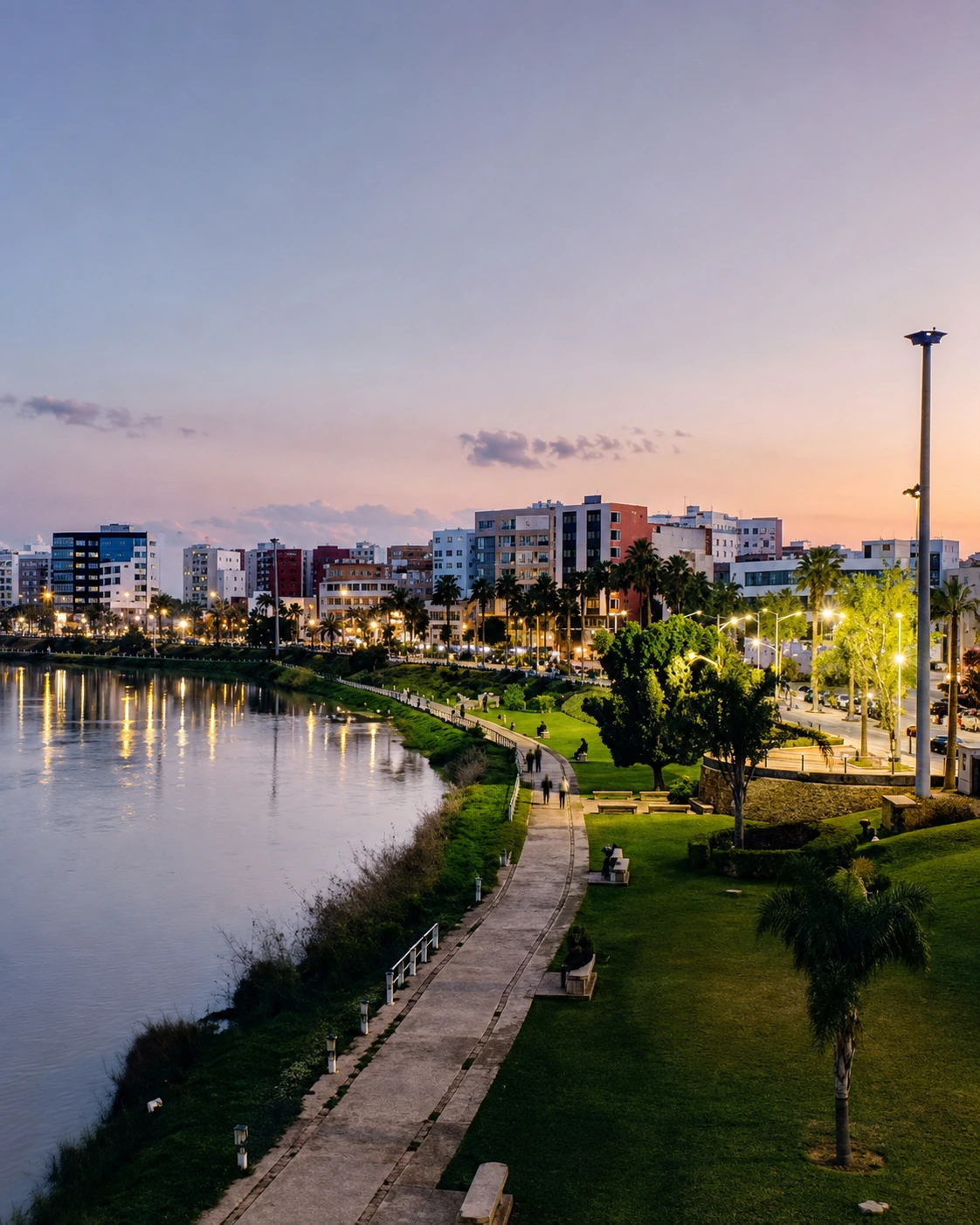
Sebou riverfront promenade and skyline in Kenitra under a dramatic evening sky

A river city with Atlantic edges

Kénitra is read through a river, a port, broad avenues, family walks, Mehdia’s ocean air, wetland birds and the cork-oak horizon of Maâmora.

EXPLORE

Kénitra

Historical orientation

From river crossing to modern Gharb gateway

Kénitra is best understood through geography first. The Sebou, the Gharb plain and the Atlantic mouth at Mehdia gave the area strategic value long before the modern city grew. Nearby archaeological landscapes point to older occupation; the twentieth century then shaped Kénitra as Port-Lyautey and as a river-port city. Today it belongs to the Rabat-Salé-Kénitra region while keeping a distinct Gharb identity.

01Sebou corridor

Ancient landscape

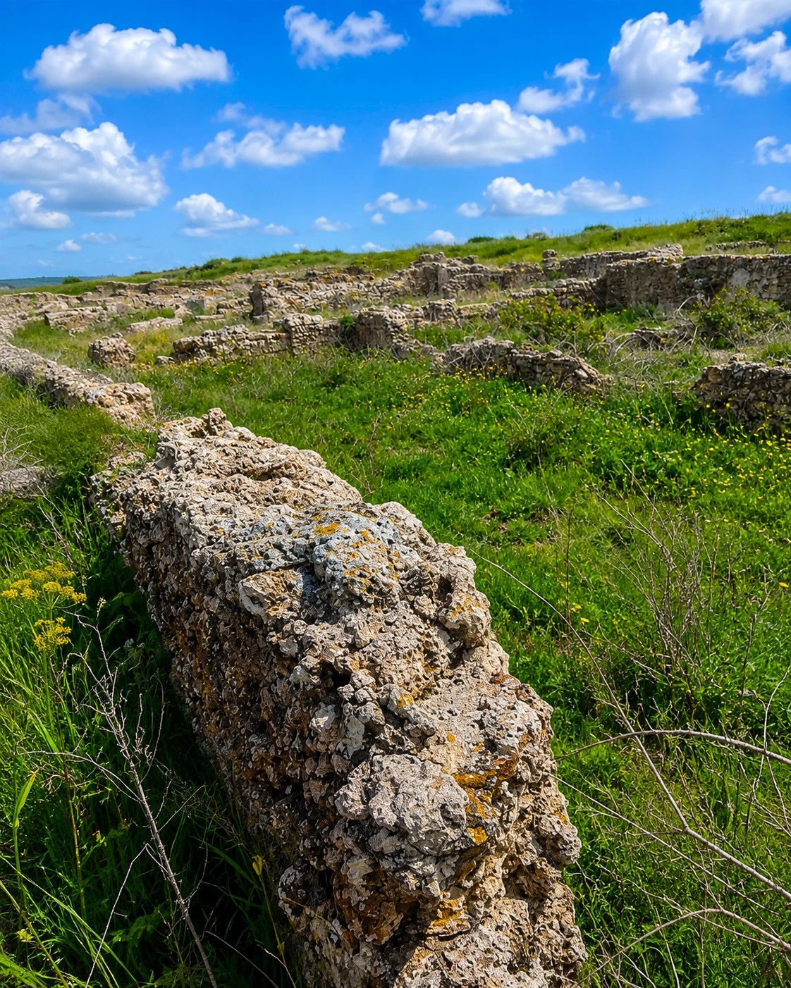
Nearby sites such as Thamusida and Banasa show that the river corridor linked inland routes, fertile plains and the Atlantic long before the modern city.

021912–1913

Port-Lyautey begins

Under the French Protectorate, a planned river-port settlement developed on the Sebou, making the river central to Kénitra’s modern urban story.

03Post-independence

Kénitra returns

After independence, the city’s Moroccan name replaced Port-Lyautey, while the port, railway and Gharb plain continued to define its everyday role.

04Today

Regional urban hub

Kénitra now reads as a working city: riverfront walks, education, industry, markets, transport and nearby nature all meet within the wider Rabat-Salé-Kénitra region.

A visual bridge

Three glimpses between river, coast and forest

These images bridge Kénitra’s identity: the Sebou as urban spine, Mehdia as Atlantic threshold, and Sidi Boughaba as a protected wetland just beyond the city.

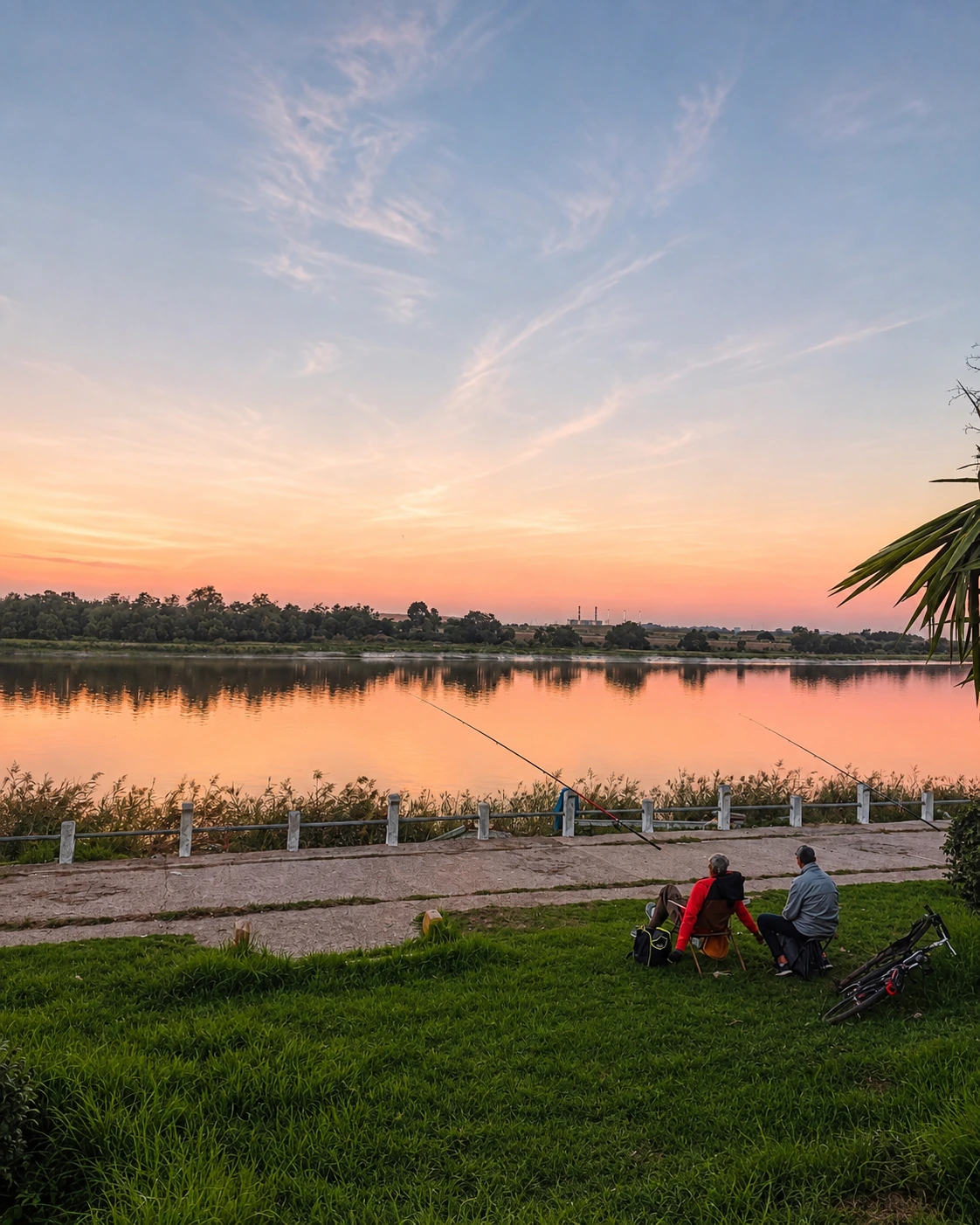
Two anglers beside the Sebou at sunset in Kenitra

Sebou memory

The river explains movement, trade and the city’s calmer spaces.

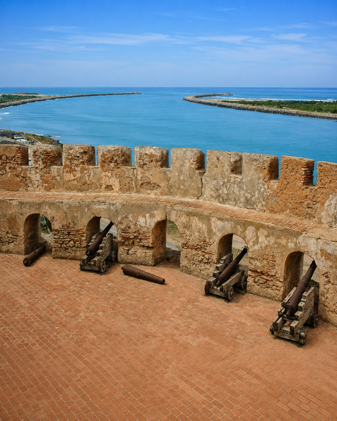
Cannons and ramparts at Mehdia Kasbah overlooking the Sebou mouth and the Atlantic

Mehdia threshold

Kasbah, beach and river mouth pull Kénitra toward the Atlantic.

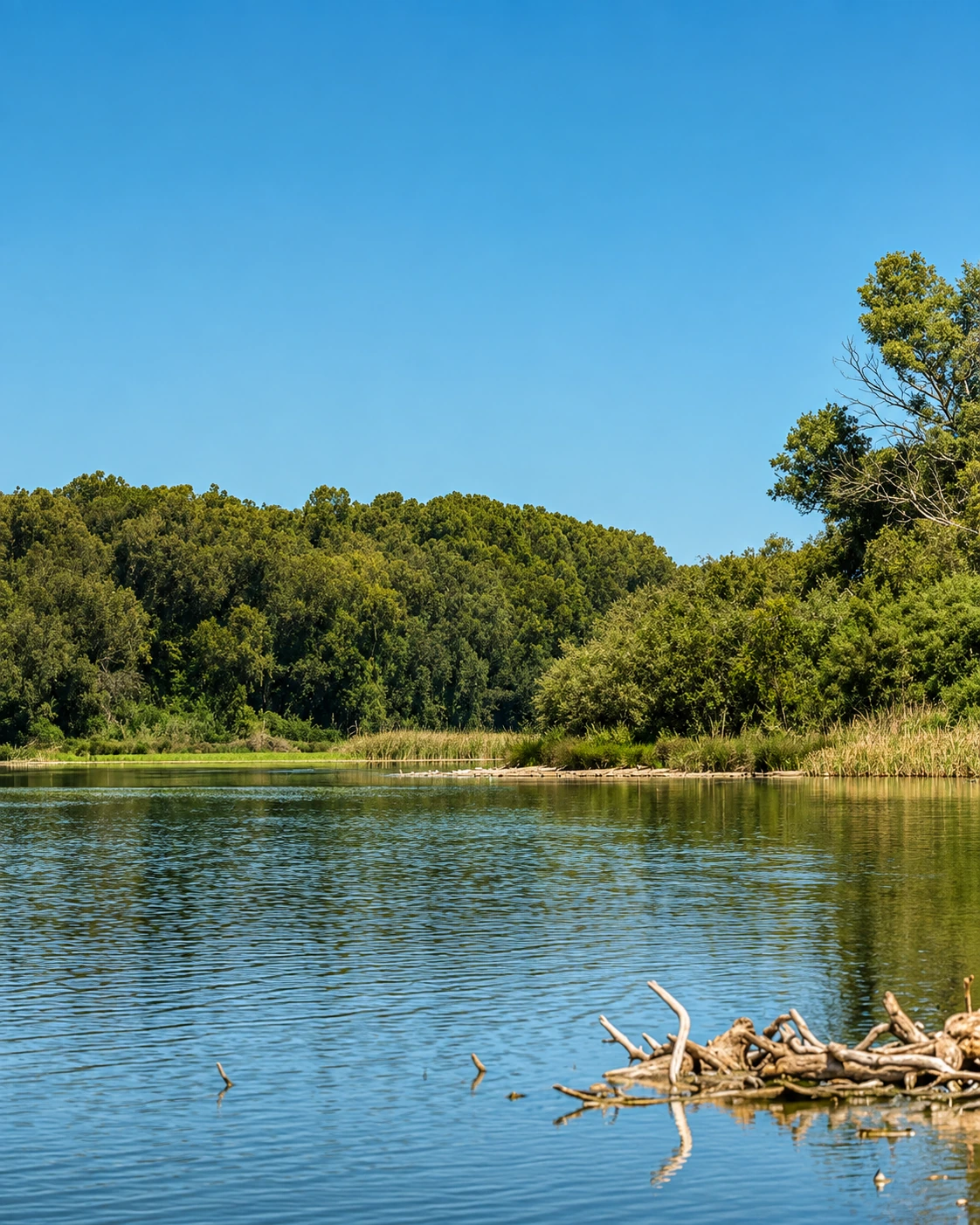
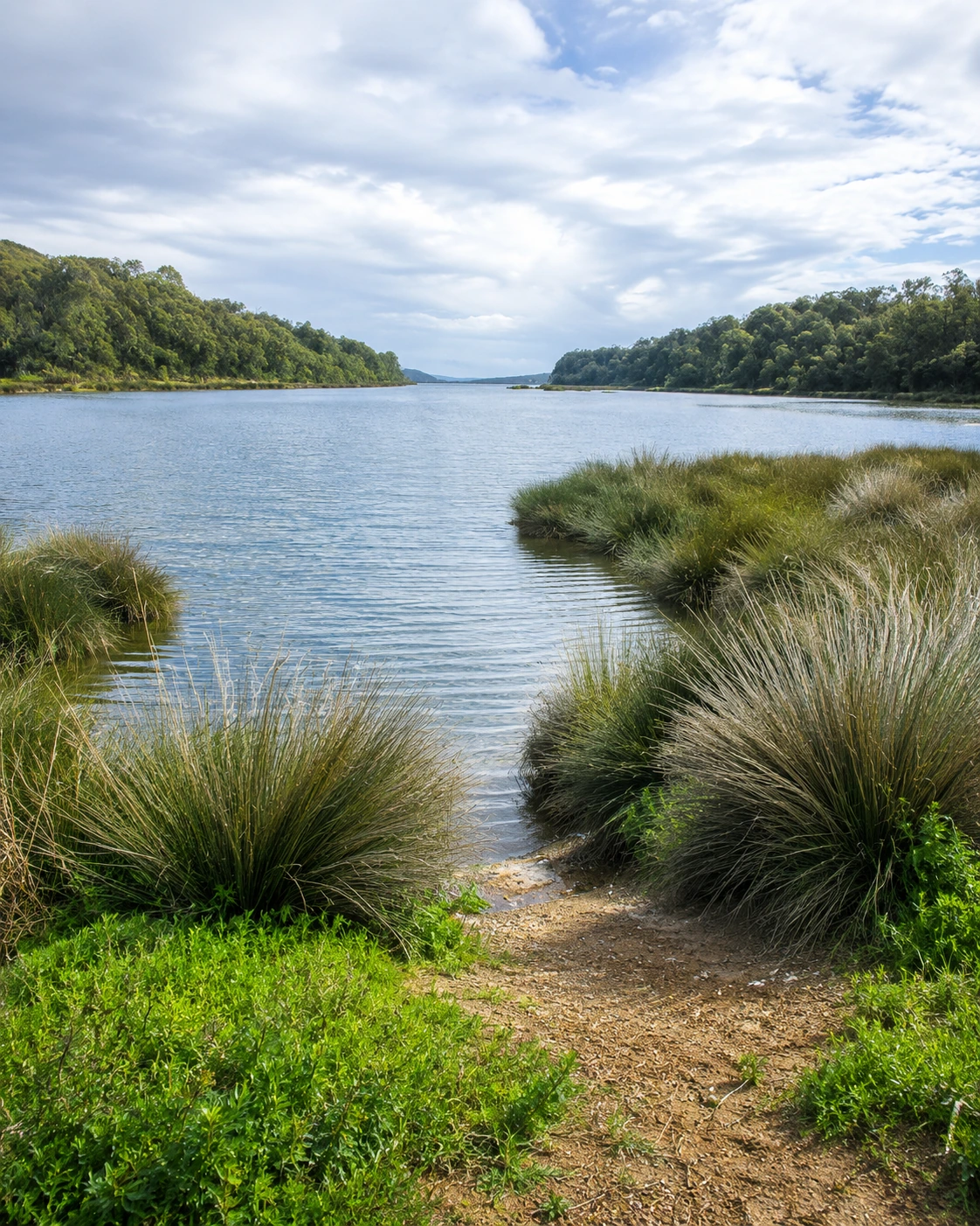
Quiet wetland water and forest at Sidi Boughaba near Kenitra

Wetland stillness

Sidi Boughaba brings lake, forest and birdlife into the city’s visitor map.

Kénitra at a glance

Sebou river city

The Sebou is the city’s essential orientation line: it carries the memory of the port, the corniche and Kénitra’s link between inland Gharb and the Atlantic.

Modern Gharb centre

Kénitra is a regional urban centre rather than an imperial medina. Its character comes from twentieth-century planning, work, education, markets and movement.

Atlantic side nearby

Mehdia Beach and the Kasbah of Mehdia give the city a coastal extension, making Kénitra easy to pair with river views, ocean air and a different rhythm.

Nature on the edge

Sidi Boughaba and Maâmora Forest add wetland, lake, dune, pine, oak and cork-oak landscapes to the city’s wider identity.

A clearer reading of the city

A city shaped by river, work and open edges

To understand Kénitra, read the city and its surroundings together. The centre gives you movement and everyday urban life; the Sebou gives orientation; Mehdia, Sidi Boughaba and Maâmora add the Atlantic and ecological frame.

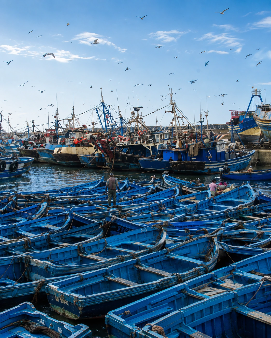
Blue fishing boats crowded in a working harbour near Kenitra
Layer 1

River and port logic

The port and Sebou corridor explain why Kénitra grew where it did. Even when the city feels modern and practical, the river remains the deepest structural line.

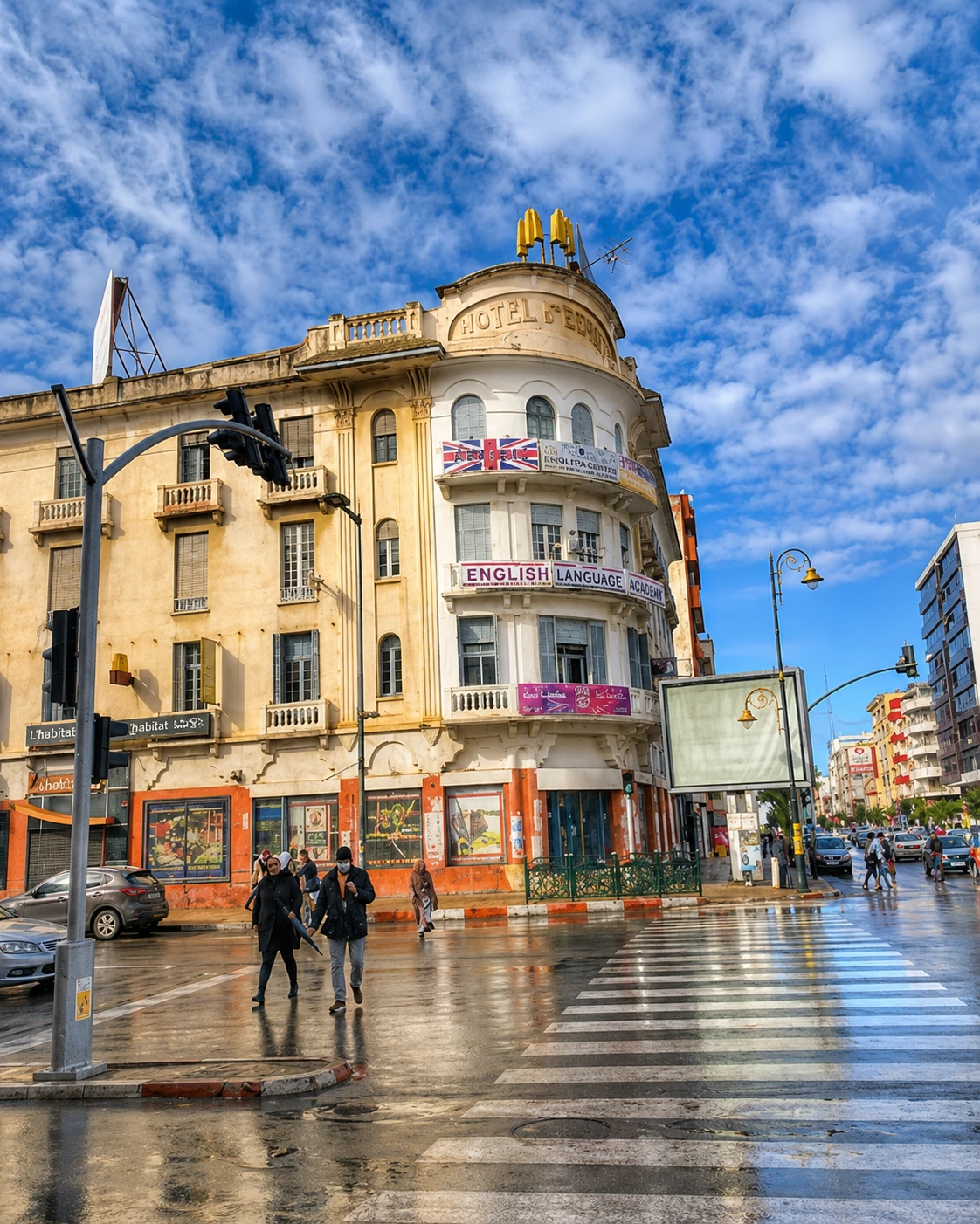
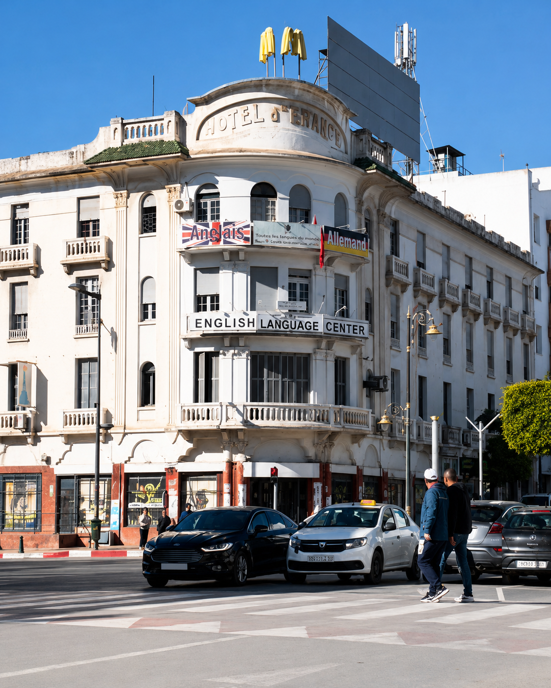
Historic Hotel de France building on a Kenitra street corner after rain
Layer 2

Urban everyday life

Avenues, cafés, markets, schools, railway movement and family walks show Kénitra as a lived city rather than a museum town. Its appeal is direct, contemporary and local.

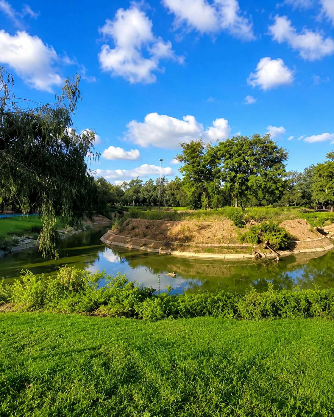
Green park landscape with water in Kenitra
Layer 3

Nature and Gharb landscape

Wetlands, forest, dunes and fertile plains sit close to the urban fabric, giving Kénitra a softer environmental identity than its industrial reputation suggests.

Landmarks & orientation

Read Kénitra through six defining places

Kénitra is not explained by one monument. These places connect river, port, Atlantic coast, protected nature and the wider historical landscape around the city.

1
Sebou River

The city’s main natural axis, linking Kénitra to the Gharb plain, the river port and the Atlantic mouth near Mehdia.

2
Sebou Corniche

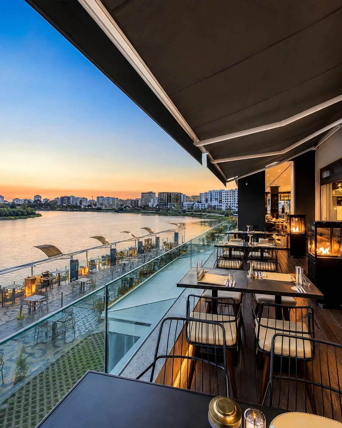
A relaxed riverfront walk where families, evening movement and views of the water make the river easy to experience.

3
Mehdia Kasbah

A historic fortress above the Sebou mouth and Atlantic, showing the strategic value of the coastline near Kénitra.

4
Mehdia Beach

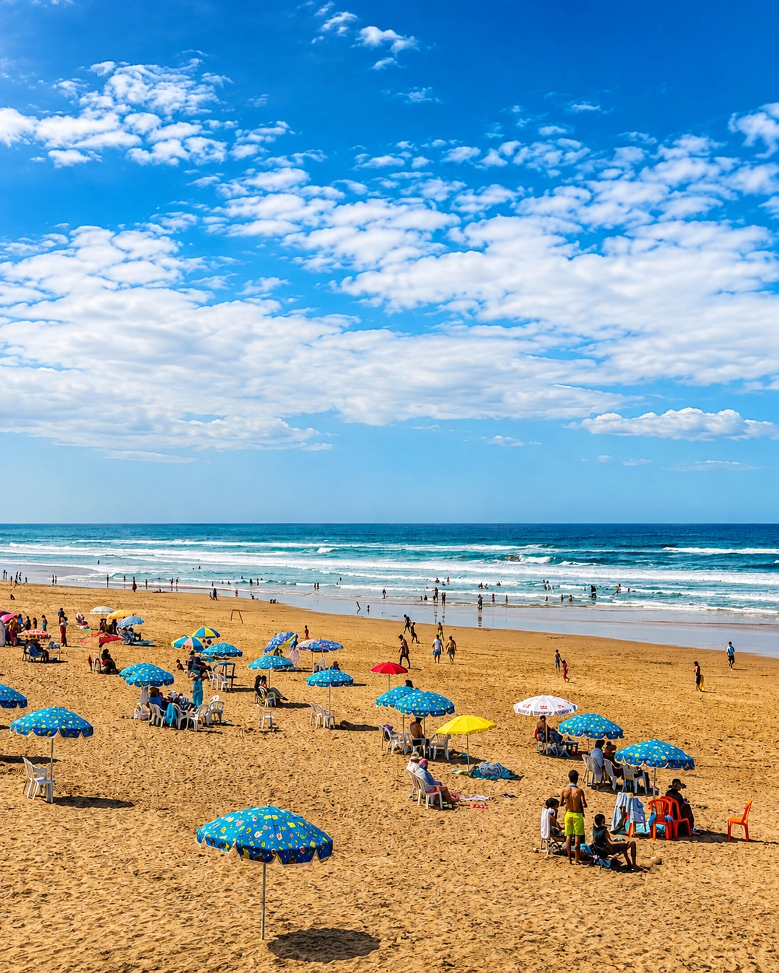
The ocean-facing extension of Kénitra’s visitor map, known for sea air, open sand and a stronger Atlantic rhythm.

5
Sidi Boughaba Reserve

A Ramsar-listed wetland near Mehdia with lake, forest and birdlife, giving the city a major ecological landmark.

6
Maâmora Forest

A vast cork-oak landscape near Kénitra, important for shade, biodiversity, recreation and the region’s green identity.

Evening riverfront promenade and city lights along the Sebou in Kenitra
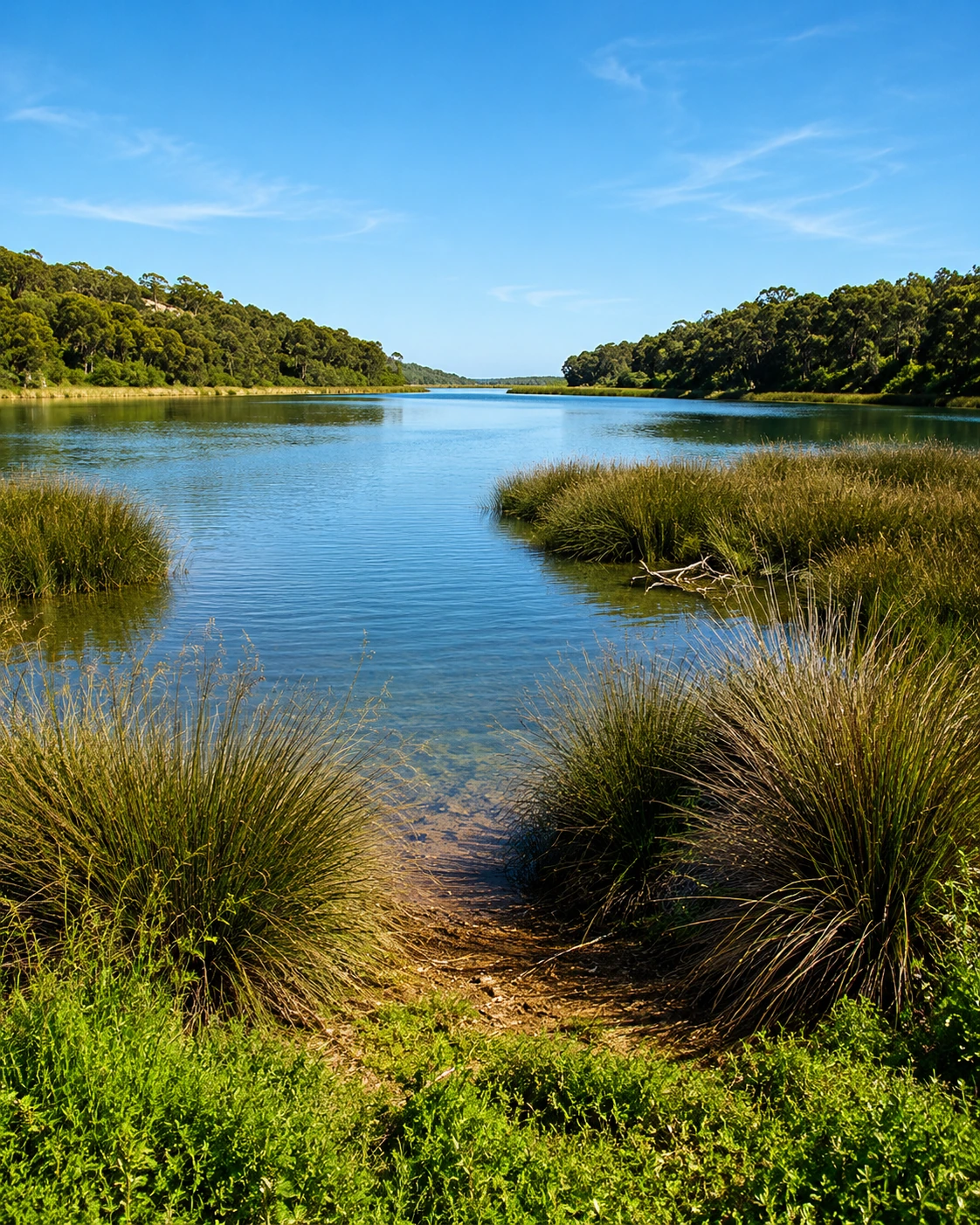
Wetland channel and reeds at Sidi Boughaba near Kenitra

A wetland edge

Sidi Boughaba — lake, dunes and Atlantic silence

Sidi Boughaba changes the pace of a Kénitra visit. Close to Mehdia, the protected wetland holds a natural lake bordered by pine and oak, with dunes and the ocean nearby. It is a place for slower observation: birds, reeds, paths, water light and the feeling that the city’s busiest rhythms have suddenly softened.

  • Read it as part of Kénitra’s wider ecology, not just a quick nature stop.
  • Combine it thoughtfully with Mehdia Kasbah or the beach when time allows.
  • Keep the visit gentle: quiet walking, birdwatching and respect for protected habitats.

Architectural reading

Three urban languages to notice

River-port modernity

Kénitra’s form is modern, functional and outward-looking. Its railway, avenues, port memory and twentieth-century growth give it a different language from Morocco’s older imperial medinas.

Fortress and Atlantic threshold

At Mehdia, walls and viewpoints speak of control over the Sebou mouth. The coast turns the city’s story from inland Gharb toward ocean routes and strategic horizons.

Ecological frame

Sidi Boughaba and Maâmora add another language: reeds, cork oak, dunes, lake edges and forest tracks. Here landscape becomes part of the city’s identity.

Visual atmosphere

River light, Atlantic air and green margins

Nearby highlights

Nearby heritage and landscape

Kénitra works well as a base for three types of extension: ancient archaeology along the Sebou corridor, the Atlantic and wetland landscapes around Mehdia, and the Rabat-Salé urban heritage route to the south.

Thamusida

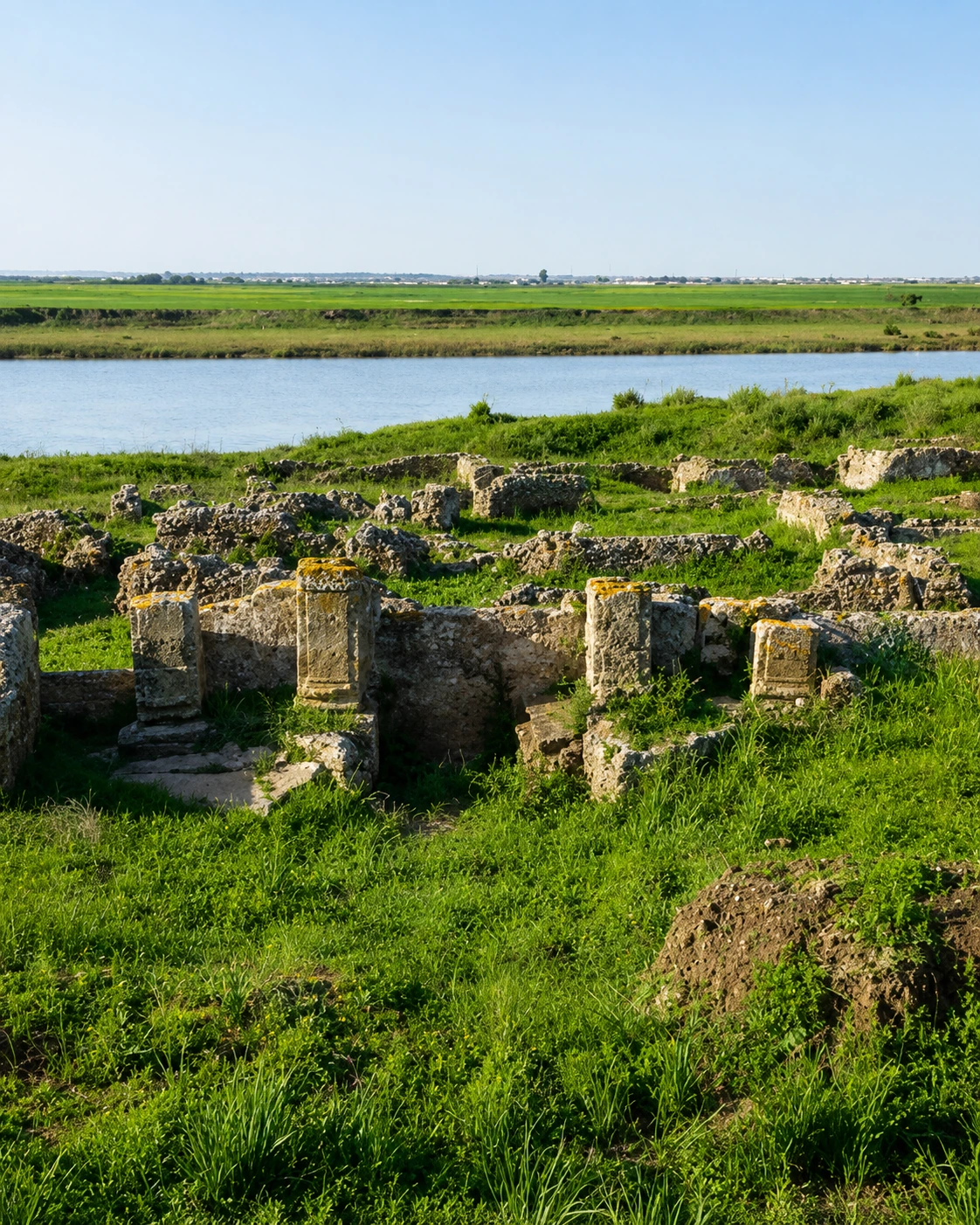
An archaeological site near Kénitra on the Sebou, where Roman-era remains help connect the river to older inland–Atlantic routes.

Archaeological ruins beside water in the Sebou corridor

Banasa

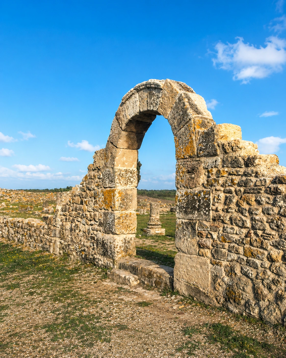
A wider Gharb archaeological extension with Roman urban traces, mosaics and quiet rural surroundings for visitors interested in ancient Morocco.

Ancient stone arch standing among archaeological ruins

Rabat and Salé

To the south, the capital region adds monumental heritage, museums, sea walls, Andalusian memory and a very different urban rhythm.

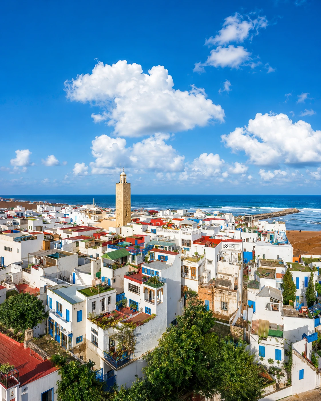
White Atlantic coastal townscape with a mosque tower and ocean horizon
Travel note: opening hours, access rules, restoration work, transport conditions and local visitor arrangements can change. Check current official or trusted local information before travelling.

Practical orientation

How to experience Kénitra well

  • Read the city through the Sebou first: river, corniche, port memory and bridges.
  • Pair the urban centre with Mehdia for the Atlantic side of the visit.
  • Keep Sidi Boughaba slow and respectful; it is a protected wetland, not a theme park.
  • Use Maâmora Forest for shade, nature and a broader sense of the Gharb landscape.
  • Treat Thamusida or Banasa as separate archaeology extensions rather than quick add-ons.

A strong first visit

Sunlit Hotel de France building in central Kenitra

Begin with the Sebou Corniche and central urban rhythm, continue toward Mehdia Kasbah and the Atlantic, then leave a quieter window for Sidi Boughaba. If you have more time, add Maâmora Forest or a separate archaeology route toward Thamusida and Banasa.

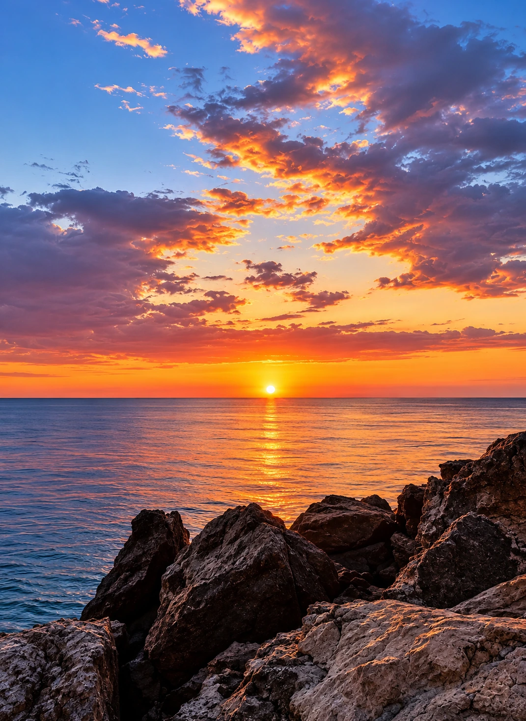
Sunset over the Atlantic with rocky foreground near Mehdia

Go deeper with Exotic Morocco

Kénitra — Premium City Guide Collection

Continue with the Exotic Morocco city collection, created to connect regional context, urban atmosphere, nature, architecture, practical orientation and nearby heritage through carefully structured visual journeys.

✓ Historic context✓ Essential landmarks ✓ Architecture & design✓ Culture & local life ✓ Practical travel guidance✓ Nearby highlights

Continue the journey

Continue the journey through Kénitra

Follow the Sebou outward: from city rhythm to Mehdia, from wetlands to forest, from modern Gharb movement to ancient traces along the river.