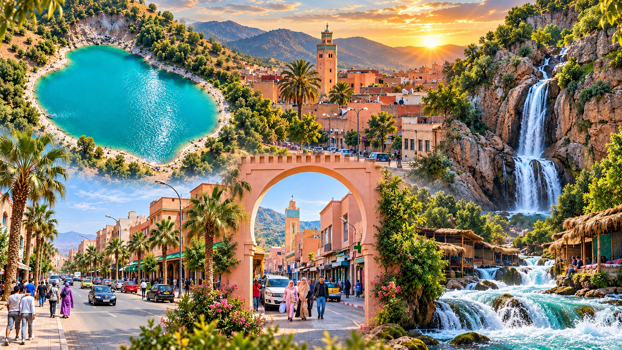
Editorial collage of Khenifra streets, mountain lake and Oum Er-Rbia cascades

Middle Atlas River City

Khenifra Oum Er-Rbia landscapes, Zayan memory and cedar-country routes

Khenifra sits where Morocco’s central mountains begin to speak in rivers, cedar forests, Amazigh memory and working-town rhythm. It is not a city of easy spectacle, but a grounded Middle Atlas base for reading landscape, history and local life together.

Why Khenifra matters

Beyond the familiar Morocco circuit

Khenifra matters because it changes the scale of the journey. Instead of a monument-led city break, it offers a mountain-town reading of Morocco: river crossings, market movement, Zayan Amazigh memory, cedar routes, high lakes and the practical life of a provincial centre.

The city is a useful pause between imperial routes, Middle Atlas landscapes and the wider Béni Mellal-Khenifra region. Visitors who slow down here begin to understand how water, pasture, forest, movement and memory shape central Morocco.

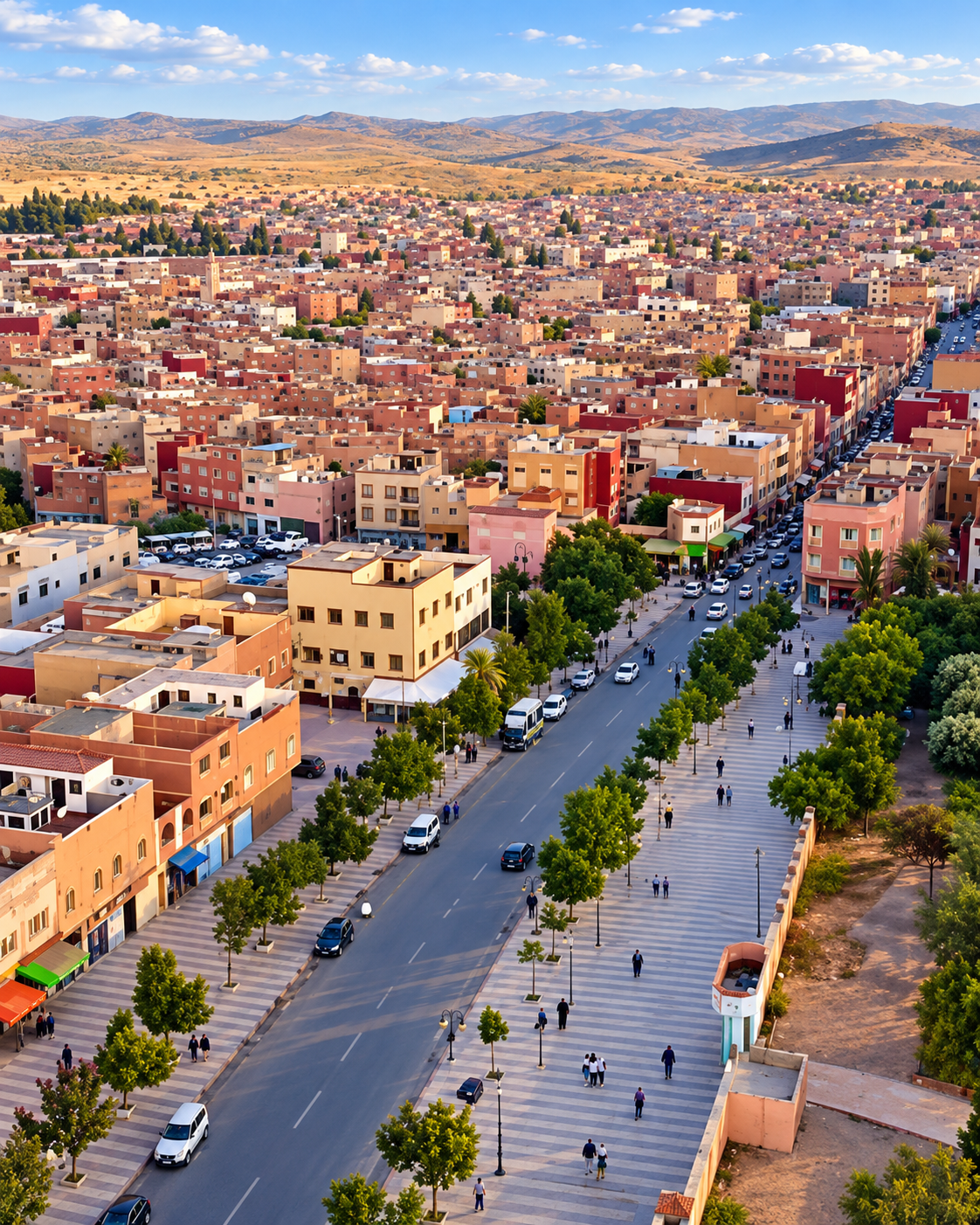
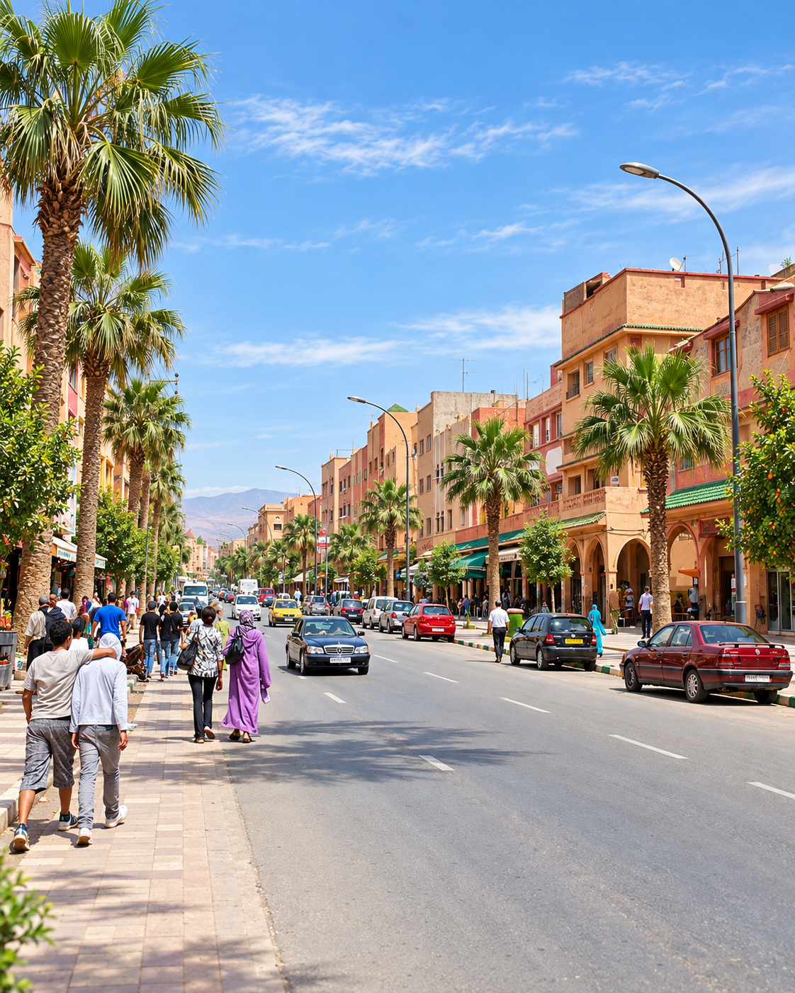
Panorama of Khenifra, its central avenue and surrounding hills

A city of river and mountain measure

Khenifra’s beauty is quieter than Morocco’s headline cities: a bridge, a riverbank, a hillside, a market street and the cedar country just beyond town.

EXPLORE

Khenifra

Historical orientation

From mountain territory to regional gateway

Khenifra is best read through geography and memory together. Its setting in the Middle Atlas links it to the Oum Er-Rbia basin, seasonal movement, forest country and the Zayan Amazigh world. Its twentieth-century history carries the memory of resistance around Moha ou Hammou Zayani and El Herri, while the contemporary city works as a practical gateway to landscapes that remain central to the region’s identity.

01Middle Atlas setting

River and pasture routes

The town’s position belongs to a wider mountain geography of water, grazing land, forest, village routes and seasonal movement rather than to a single monumental origin story.

02Zayan country

Amazigh memory

Khenifra is closely associated with the Zayan Amazigh tribes of the central Middle Atlas, whose identity, language, poetry, resistance memory and rural lifeways shaped the region’s cultural presence.

031914

El Herri and resistance

The Battle of El Herri, near Khenifra, remains part of the region’s historical memory and is linked to Moha ou Hammou Zayani’s resistance to French expansion in the Middle Atlas.

04Today

A nature-facing base

Modern Khenifra is less polished than major tourist cities, but it is valuable as a base for the Oum Er-Rbia sources, Aguelmam Azegza, cedar landscapes and national-park routes.

A visual bridge

Three glimpses between river and cedar country

These images bridge the city and its wider landscape: a mountain lake, the working town, and woven textiles traded in the Zayan heartland.

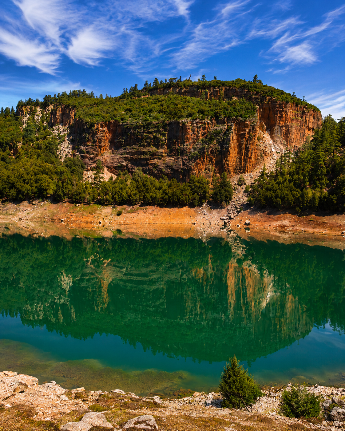
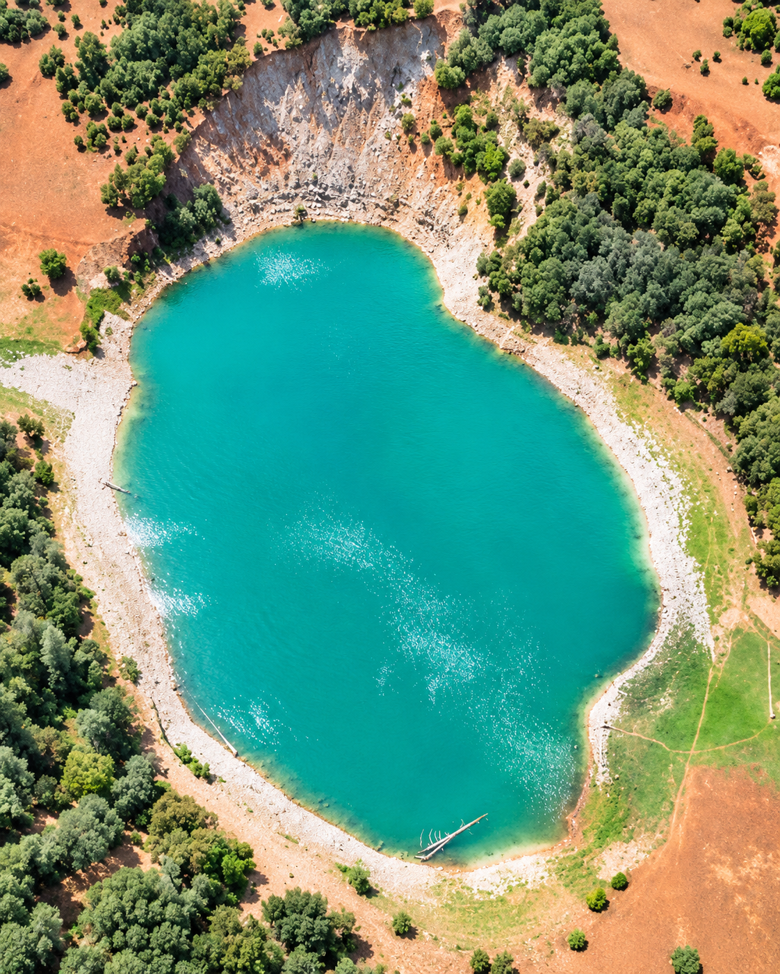
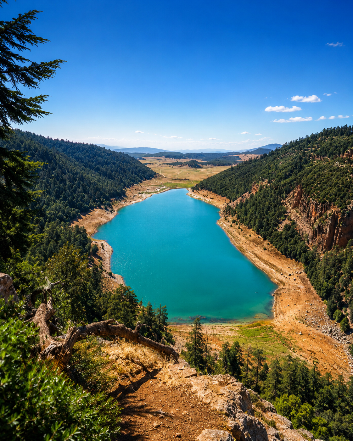
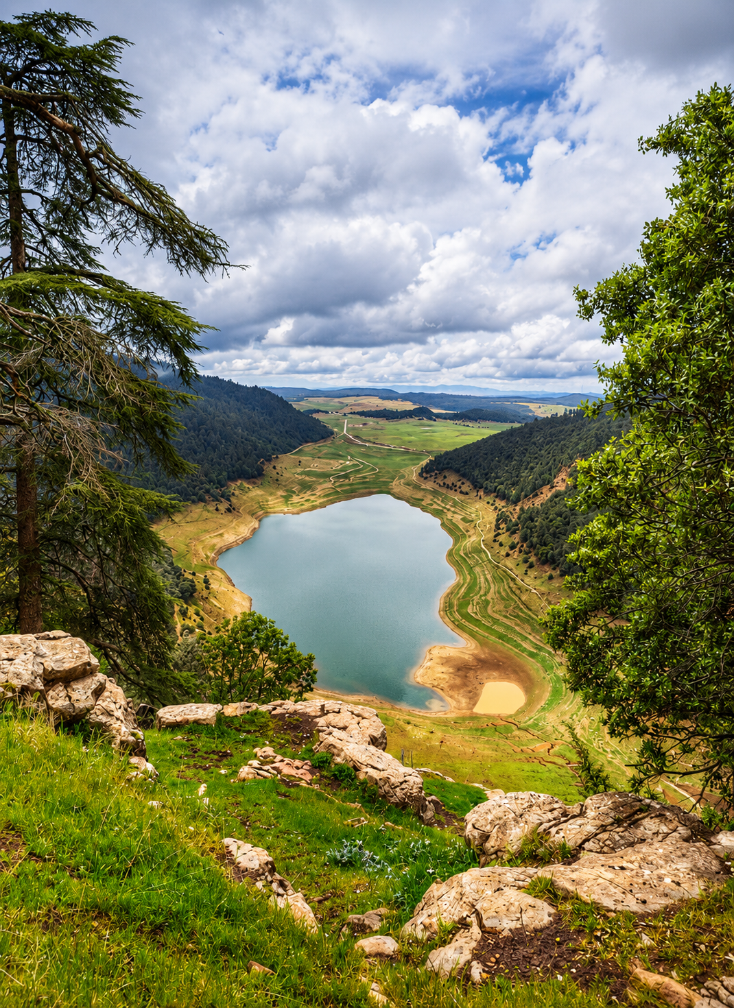
Aguelmam Azegza lake beneath wooded limestone cliffs near Khenifra

High-lake calm

The lake and its wooded cliffs bring the province’s water and mountain landscapes into focus.

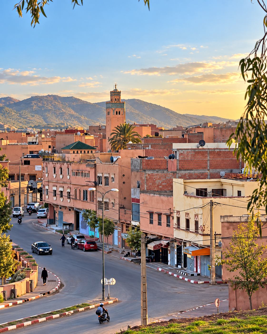
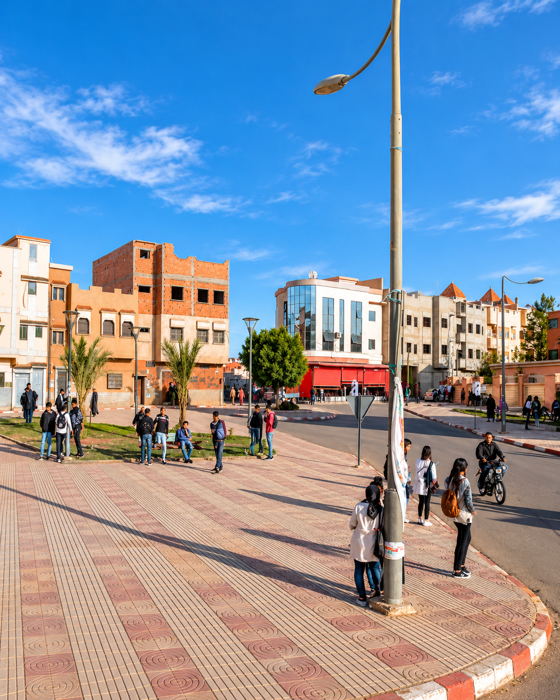
Khenifra street junction, warm-coloured buildings and a minaret against the hills

Town and movement

The city’s daily rhythm gathers around bridges, roads, markets and the visible presence of surrounding hills.

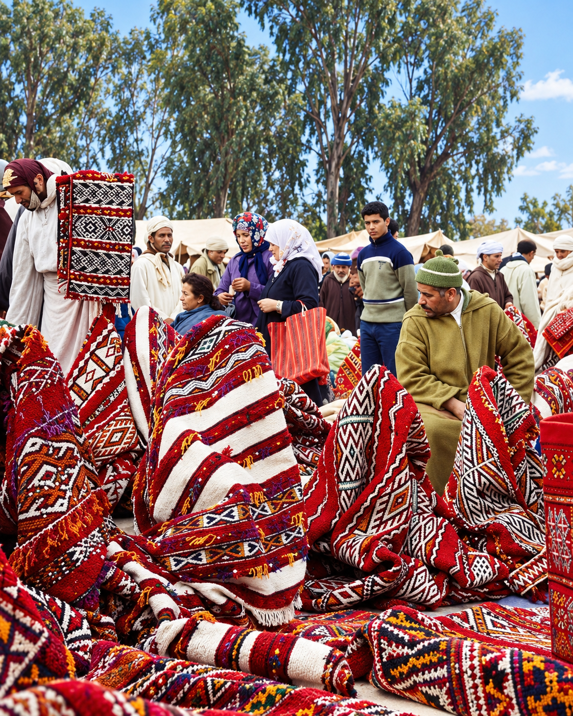
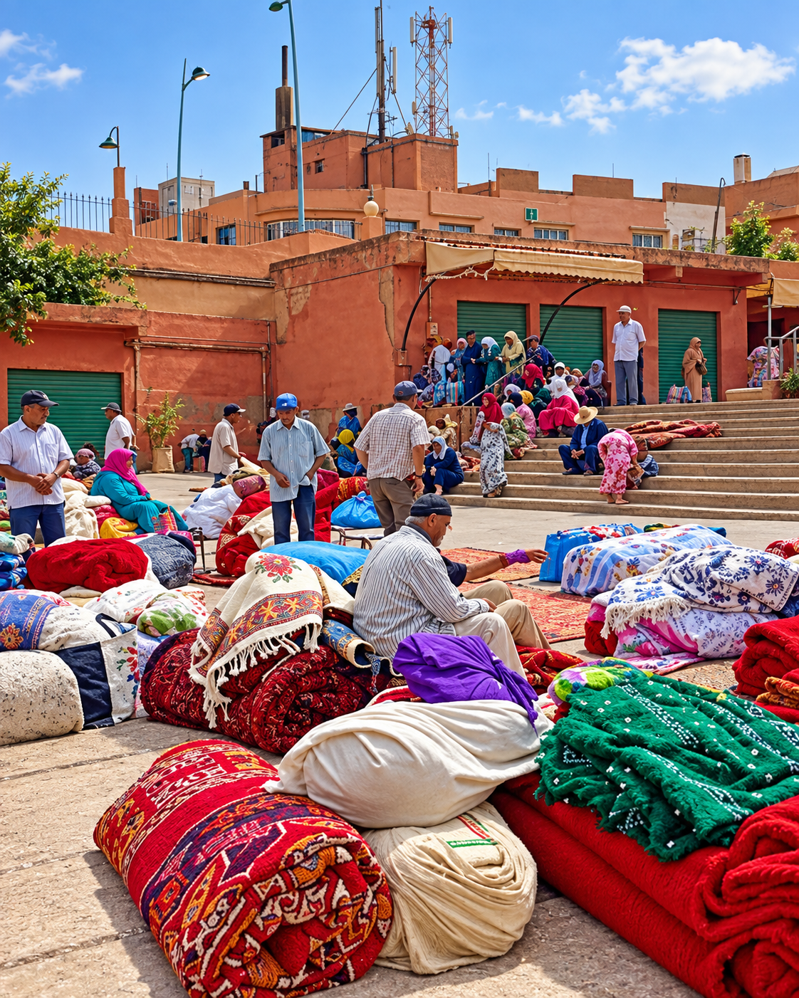
Traders displaying red and white woven rugs at a Khenifra textile market

Wool and pattern

Textiles and domestic craft hold part of the region’s mountain identity in colour, material and repeated gesture.

Khenifra at a glance

Middle Atlas city

Khenifra belongs to central Morocco’s mountain geography. Its identity is tied to slopes, forests, river basins, rural routes and the weather of the Middle Atlas rather than to coastal or imperial-city imagery.

Oum Er-Rbia context

The Oum Er-Rbia landscape gives the city a strong orientation point. River, springs, bridges and water routes help visitors understand why Khenifra is best read through movement and geography.

Zayan Amazigh memory

The city is closely linked with Zayan Amazigh history and with the resistance memory of Moha ou Hammou Zayani. This identity deserves careful reading rather than quick romantic packaging.

Nature-led extensions

Nearby lakes, cedar forests, the Oum Er-Rbia sources and Khenifra National Park make the city most rewarding when paired with outdoor time and local guidance.

A clearer reading of the city

A city shaped by water, memory and mountain life

To understand Khenifra, read it as a working Middle Atlas city rather than as a checklist of monuments. Its meaning sits in the relationship between river infrastructure, Zayan identity, weekly markets, regional craft and the landscapes that begin just outside the urban edge.

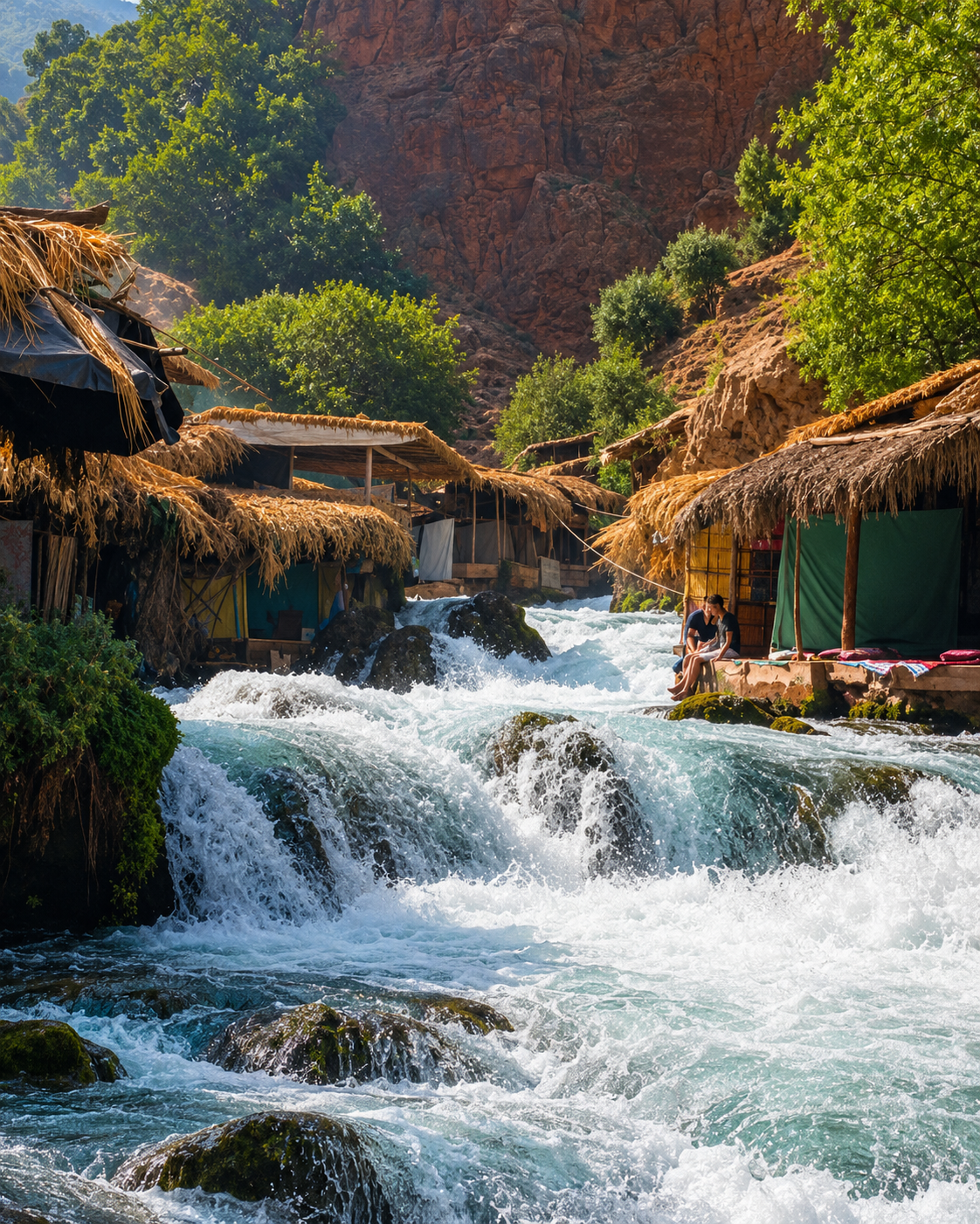
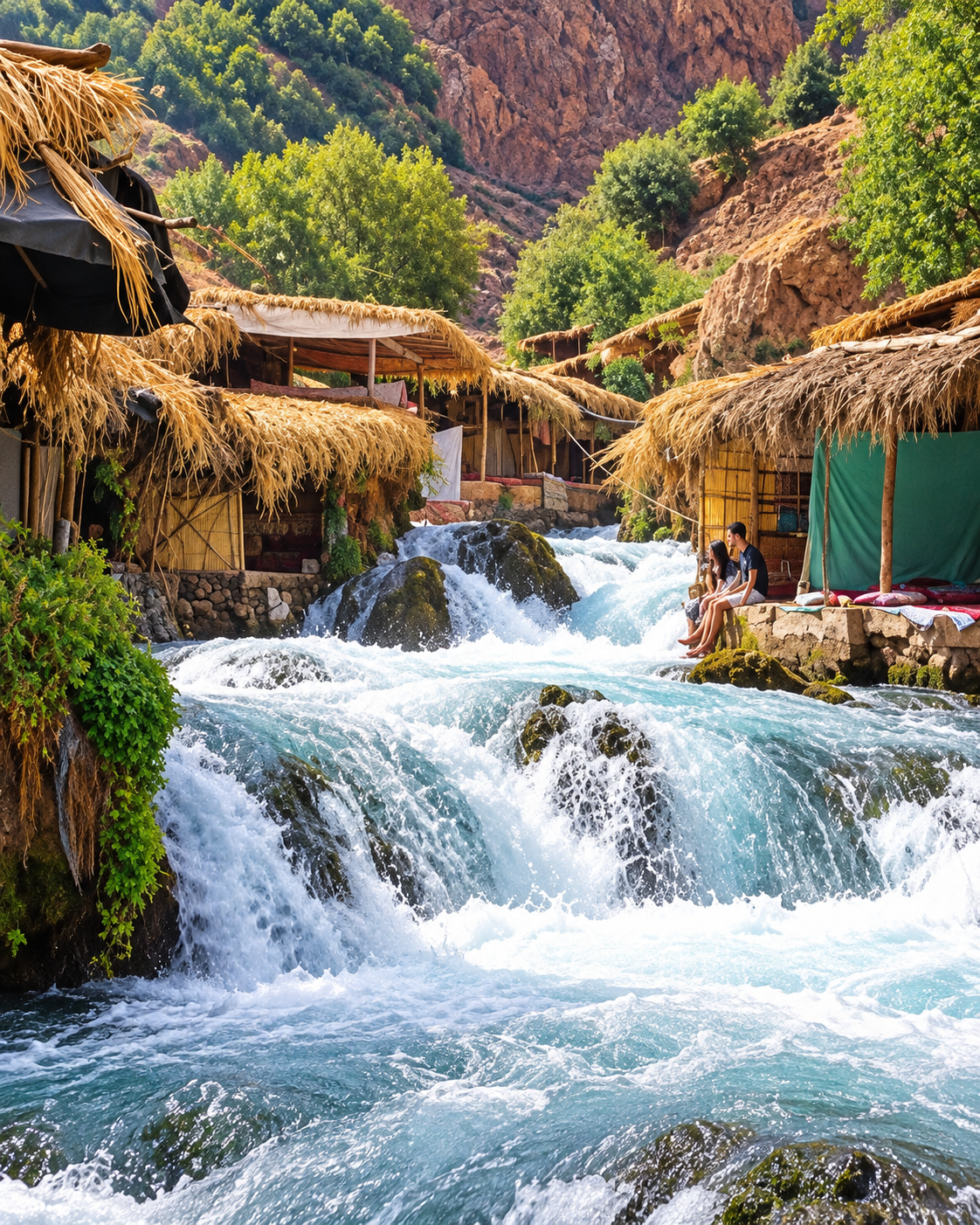
Oum Er-Rbia cascades beside thatched riverside shelters near Khenifra
Layer 1

Water geography

The Oum Er-Rbia river system is more than scenery. It gives the region movement, orientation and ecological meaning, from river crossings in town to the spring landscapes beyond it.

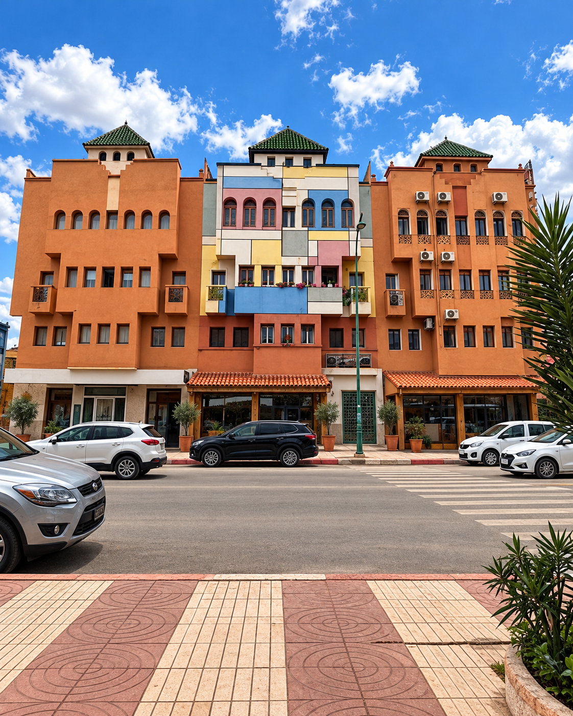
Ochre and terracotta shopfronts and town buildings in Khenifra
Layer 2

Working urban fabric

Khenifra’s streets, bridge approaches, small shops, transport routes and market movement are part of its identity. The city is practical, lived-in and closely tied to its surrounding province.

Rugs and folded textiles displayed in Khenifra market streets
Layer 3

Craft and domestic culture

Wool, woven pattern, food traditions and household objects carry mountain culture into daily life. They help visitors see heritage as use, not decoration.

Landmarks & orientation

Read Khenifra through six defining places

Khenifra’s orientation is not about a single grand monument. These six references show how the city connects river, memory, market life and the wider Middle Atlas landscape.

1
Oum Er-Rbia river corridor

The river gives Khenifra its strongest geographic line, linking town movement with the wider basin that continues toward the Atlantic.

2
Historic bridge and riverbanks

The old crossing, often called the Portuguese Bridge, is a reference point for understanding the town’s development on both sides of the river.

3
Local souk streets

Markets and small commercial streets show Khenifra as a regional service city, where rural products, transport and daily life meet.

4
Kasbah of Moha ou Hammou Zayani

The historic kasbah connects the city’s riverbank with the memory of Moha ou Hammou Zayani. Confirm access locally before planning a visit inside.

5
Sources of Oum Er-Rbia

The spring landscape outside the city is one of the strongest natural extensions from Khenifra, especially for visitors interested in water and geology.

6
Aguelmam Azegza

The mountain lake and surrounding forest bring Khenifra’s cedar-country identity into clear focus and work best as a slow nature excursion.

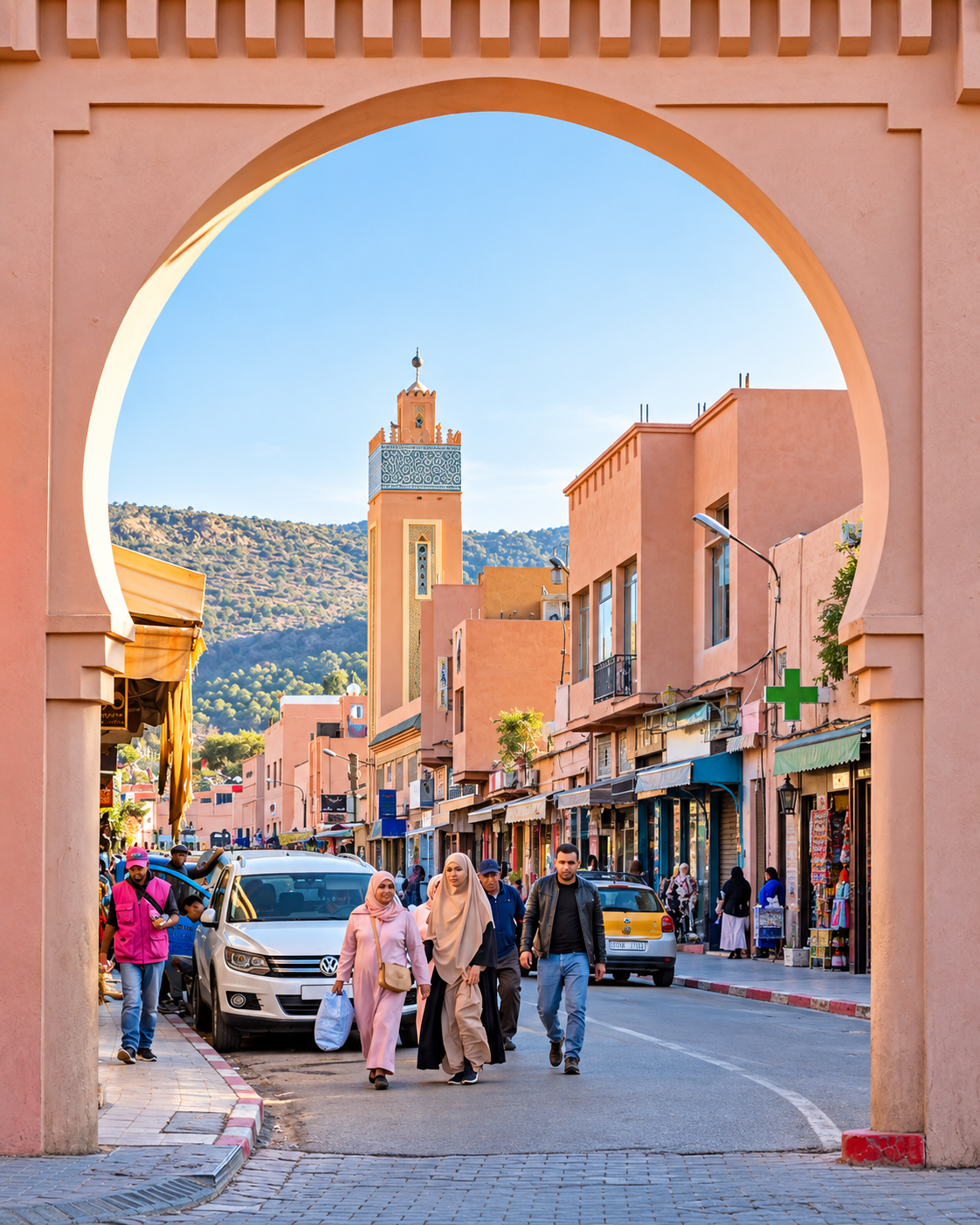
Pedestrians and a minaret framed by an ochre gateway in Khenifra
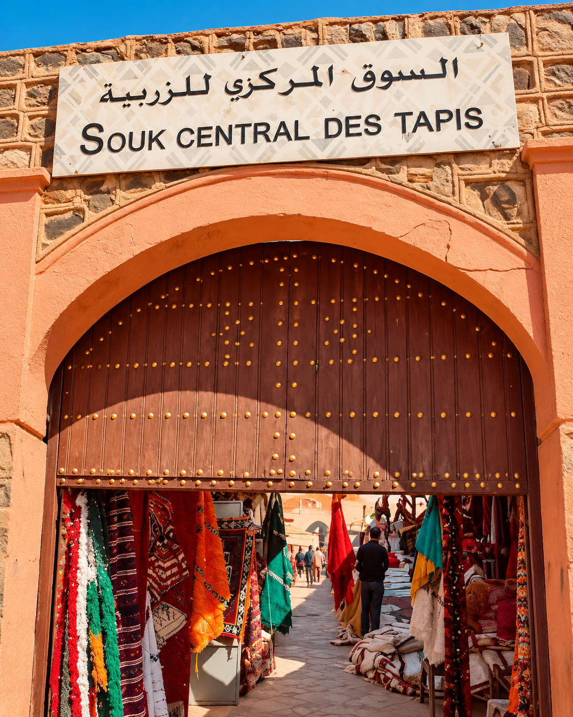
Arched entrance to the central carpet souk with rugs displayed inside

A mountain identity

Zayan memory, wool and the mountain market

Khenifra’s cultural reading should stay close to the land. Zayan Amazigh identity, oral memory, pastoral rhythms, local markets and textile traditions all belong to a mountain world where materials are practical before they are decorative. The most respectful visit listens for this continuity instead of reducing the city to a quick nature stop.

  • Read local craft through wool, woven pattern, colour and everyday household use.
  • Approach Zayan history as living regional memory, not a simple battlefield story.
  • Let the city and the cedar landscapes explain one another instead of separating culture from nature.

Architectural reading

Three urban languages to notice

River crossings

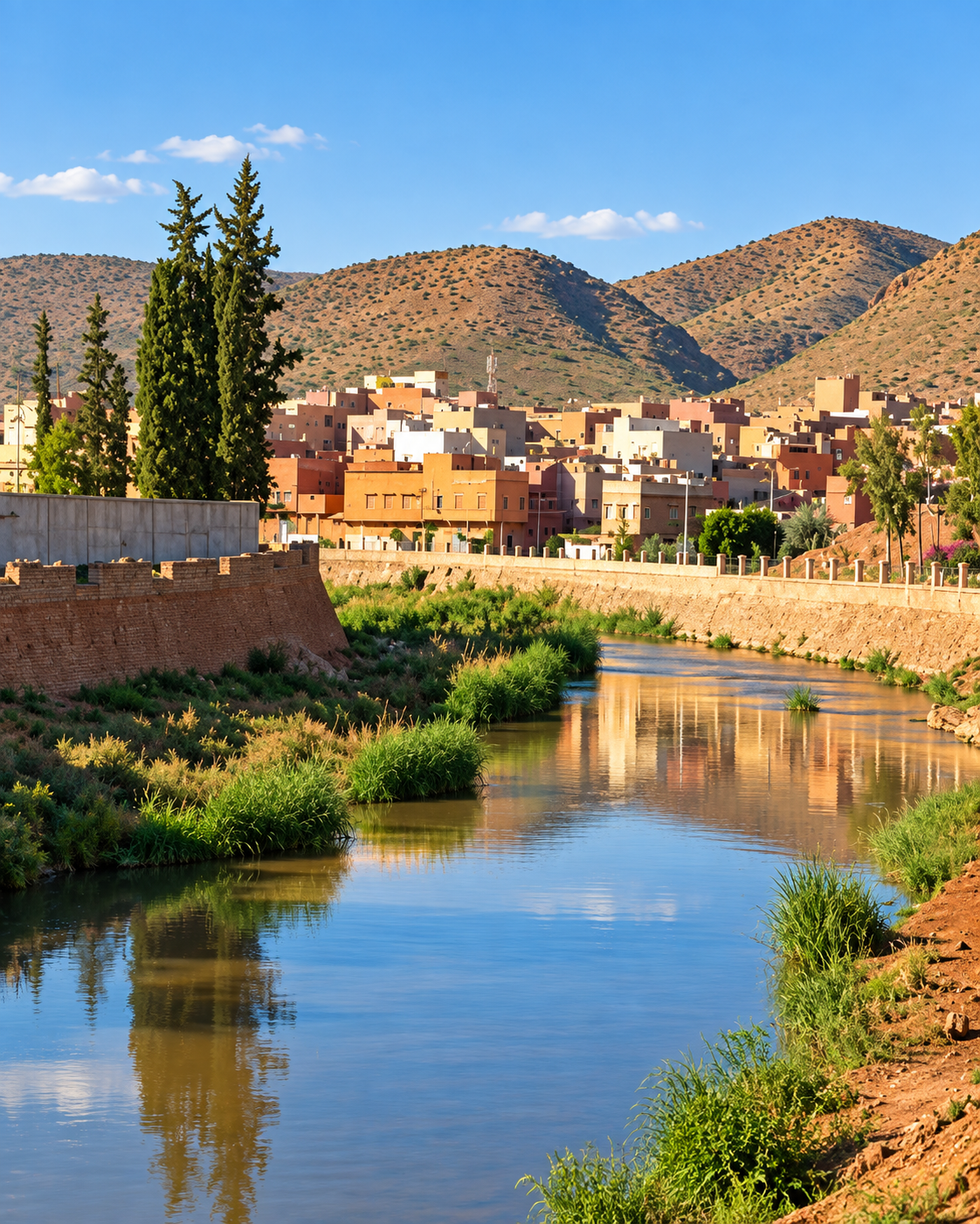
In Khenifra, infrastructure is part of orientation. Bridges, riverbanks and road approaches explain how people move through the town and how the city remains tied to the Oum Er-Rbia valley.

Market streets

The urban fabric is practical rather than theatrical: shopfronts, transport points, weekly trade, produce, textiles and everyday services give the city its regional function.

Mountain materials

Earth colour, wool, timber, stone, woven surfaces and modest domestic forms connect Khenifra’s built world to the surrounding Middle Atlas instead of to imperial monumentality.

Visual atmosphere

River light, cedar green and working-town texture

Nearby highlights

Water, forests and Middle Atlas routes

Khenifra works best as a base for nature-led extensions rather than as a rushed stop. The strongest nearby experiences connect water, forest, mountain roads and local guidance.

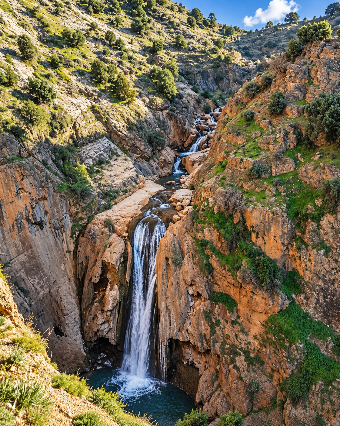
Sources of Oum Er-Rbia

The spring landscape is one of the region’s key natural references. Go for water, rock, local movement and the beginning of a river system that later crosses central Morocco.

Clear cascades and riverside shelters at the Oum Er-Rbia sources

Aguelmam Azegza

A green-blue mountain lake set within cedar-country scenery. Treat it as a slow landscape excursion, with enough time for the approach, the light and the forest edge.

Aguelmam Azegza lake extending between wooded slopes near Khenifra

Khenifra National Park

The national-park landscapes around Khenifra are associated with forests, lakes and outdoor routes. Conditions can change, so plan with current local information and realistic timing.

Wooded slopes framing a mountain lake in the Khenifra region
Travel note: road conditions, seasonal water levels, local access rules, guide availability and outdoor safety can change. Check current official or trusted local information before travelling.

Practical orientation

How to experience Khenifra well

  • Come with time for both the city and the surrounding landscapes.
  • Use the river, bridge area and market streets to orient yourself before leaving town.
  • Plan the Oum Er-Rbia sources and Aguelmam Azegza as separate nature excursions, not quick add-ons.
  • Check seasonal conditions carefully, especially water levels, roads, weather and outdoor access.
  • Respect local communities, rural land use and forest environments; Khenifra rewards low-key travel.

A strong first visit

Open pavement, local movement and city buildings in central Khenifra

Begin with the river and town centre, then build one clear landscape extension around the sources or Aguelmam Azegza. Khenifra is strongest when the visit moves between local life and the Middle Atlas without rushing either.

Khenifra city gateway and minaret for the Premium Visual City Guide

Go deeper with Exotic Morocco

Khenifra — Premium Visual City Guide

Continue with a visual publication designed to connect the city’s river setting, Zayan Amazigh memory, Middle Atlas landscapes, practical orientation, nearby lakes and slower nature routes into one carefully structured journey.

✓ Historical context✓ Essential orientation ✓ River & landscape reading✓ Culture & local life ✓ Practical travel guidance✓ Nearby highlights

Continue the journey

Continue the journey through Khenifra

Look beyond the standard Morocco route and encounter a city of river crossings, Zayan memory, cedar landscapes, high lakes and grounded Middle Atlas life.