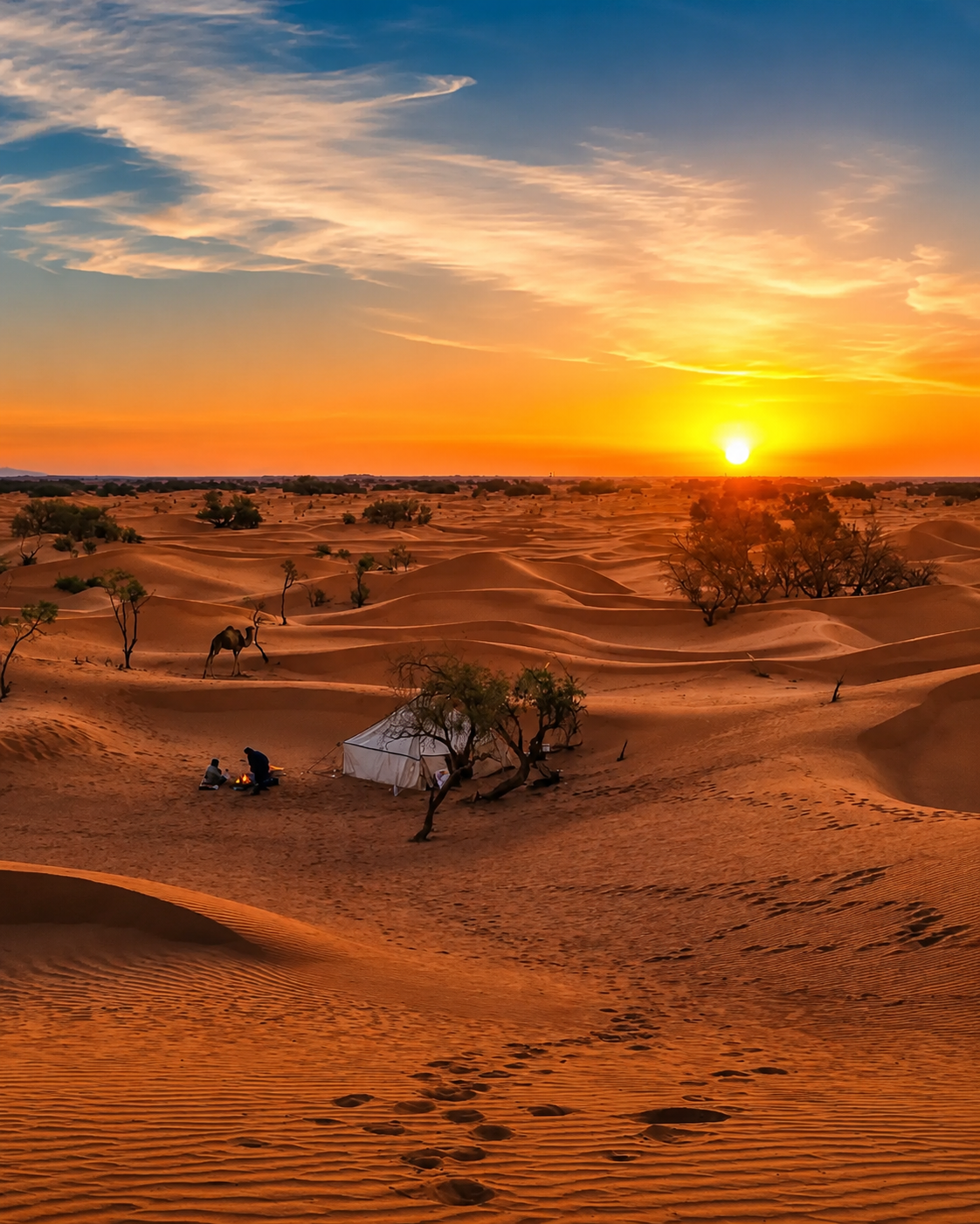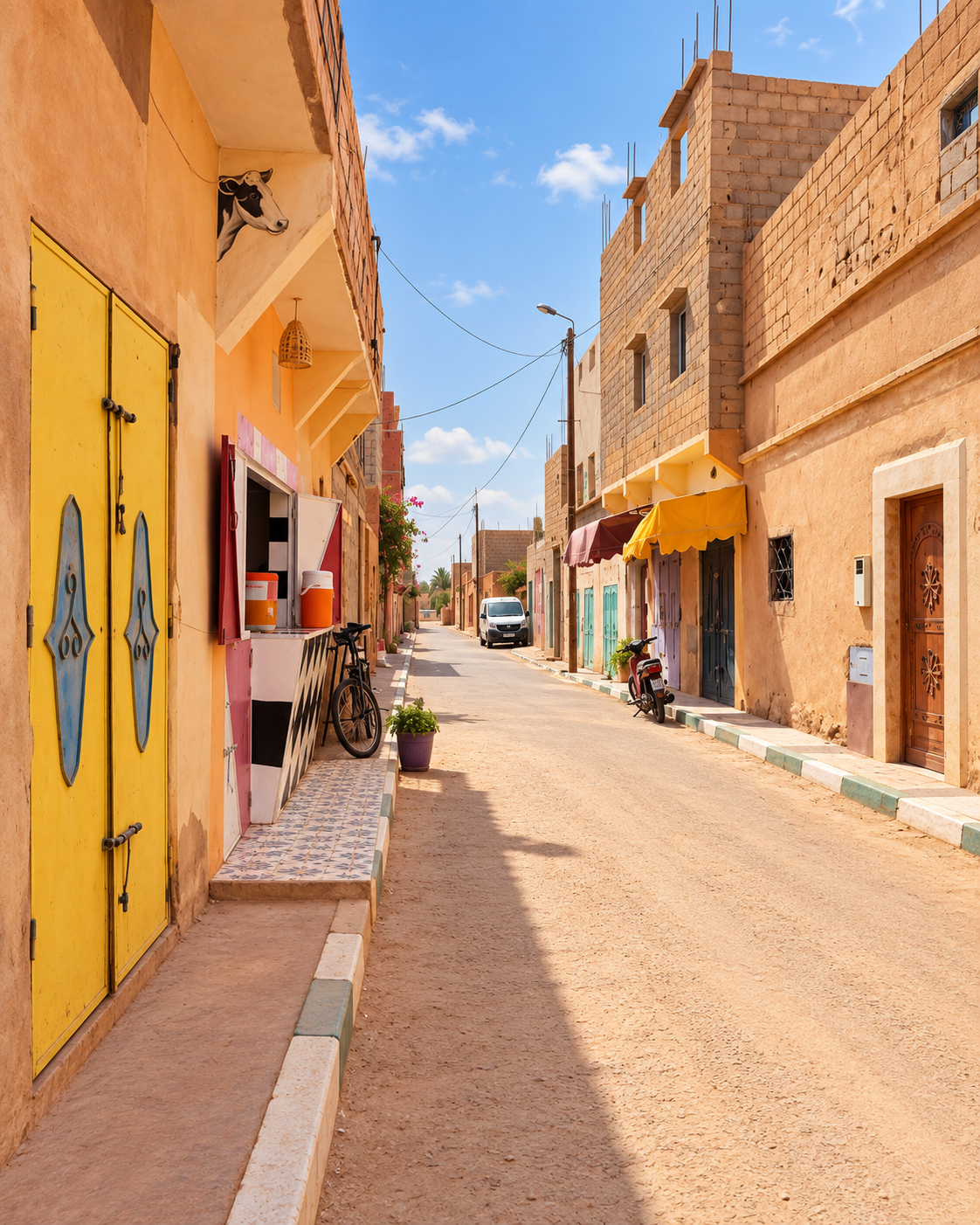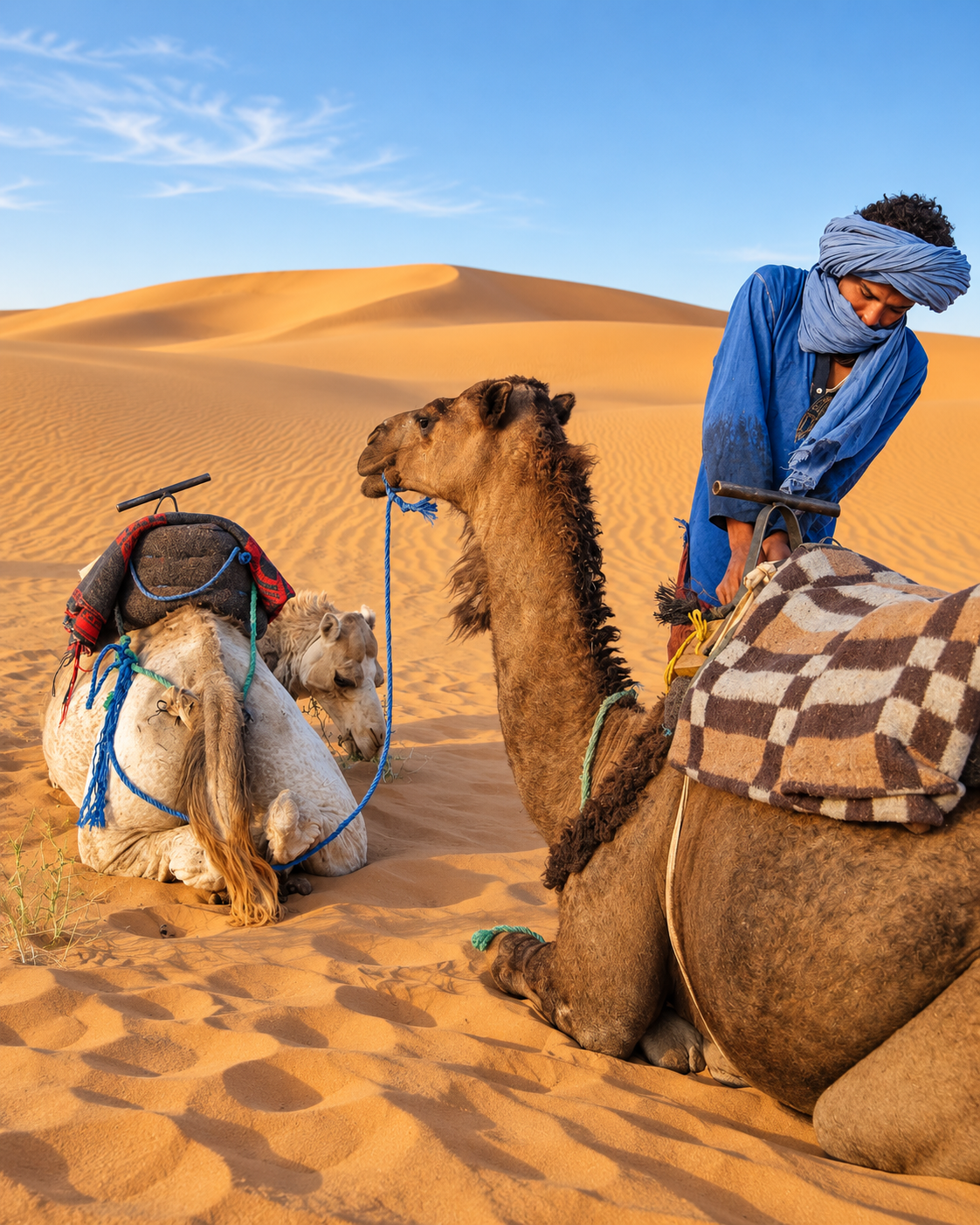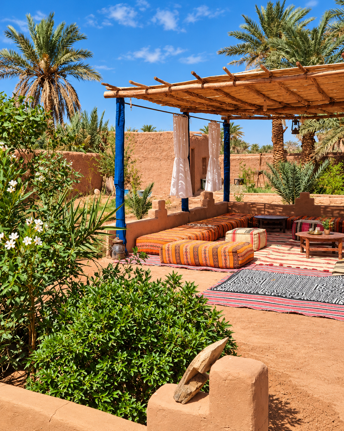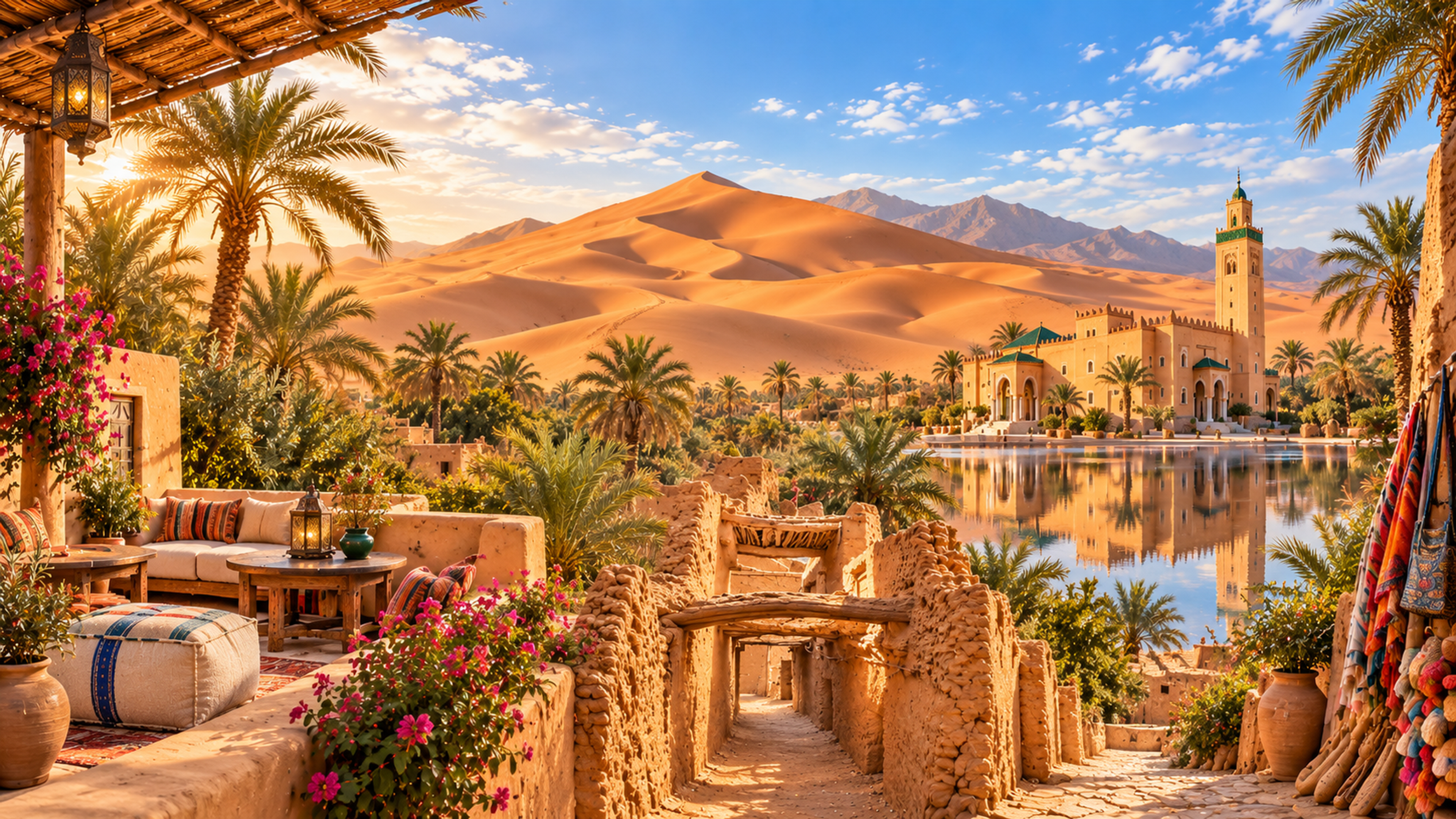
Editorial panorama combining Saharan dunes, palms, earthen architecture and a shaded terrace

Sahara Oasis of Morocco

M’Hamid El Ghizlane — where the Drâa Valley meets the Sahara

At the end of the lower Drâa road, M’Hamid connects palm groves, earthen villages and living Saharan traditions. Explore the oasis at its own pace, then continue with local guides towards the remote dunes of Erg Chigaga.

Why M’Hamid matters

At the end of the Drâa road

M’Hamid is often described as a gateway to the Sahara, but that phrase only becomes meaningful when you understand the place itself. The settlement sits at the far end of the paved Drâa Valley route, where palm groves thin out, adobe walls meet sand, and travel begins to depend on local knowledge rather than simple road signs.

Visitors should not look for the density of an imperial medina here. M’Hamid rewards a different kind of attention: the line between oasis and desert, older earthen settlement fabric, the rhythm of weekly markets and departures, and the living culture of communities connected to Saharan routes.
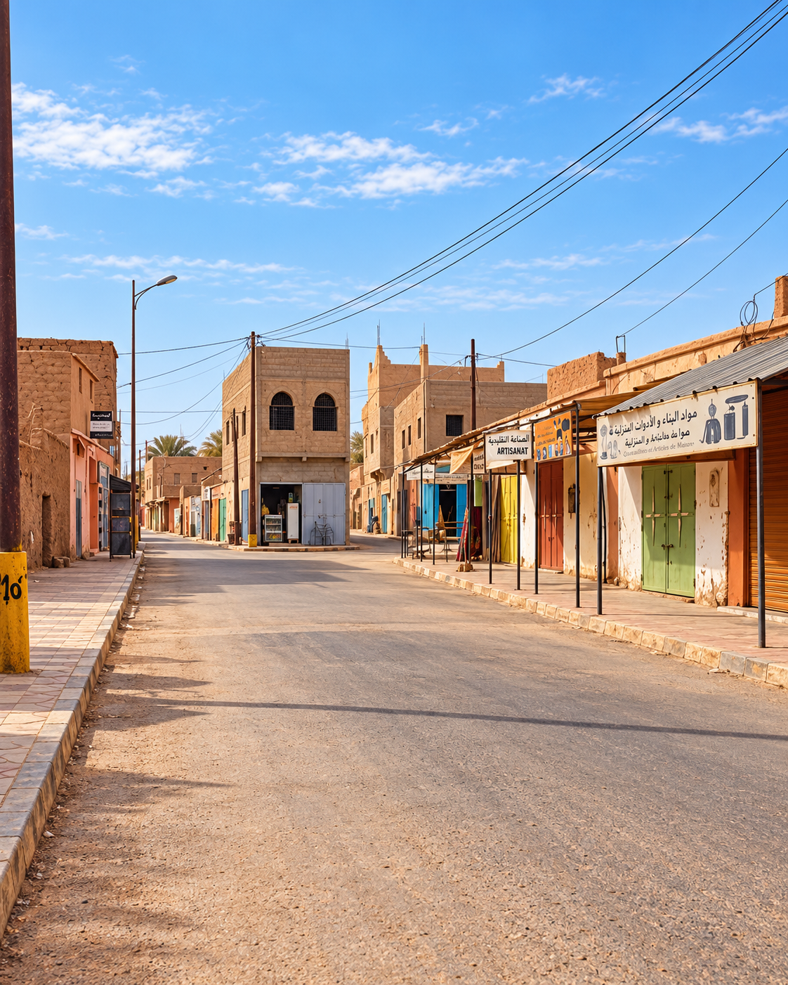
Quiet village street with low earthen-coloured shops and a square minaret

A threshold, not a spectacle

The beauty of M’Hamid is measured in transitions: village to palm grove, palm grove to hamada, road to track, settlement to dunes, and ordinary life to the wider Sahara.

EXPLORE

M’Hamid El Ghizlane

Historical orientation

From oasis settlement to Sahara threshold

M’Hamid belongs to the lower Drâa, a corridor of palm oases, earthen settlement and Saharan movement. Its story is not preserved as one polished monument. It is read through older village fabric, ksour, palm-grove edges, caravan memory, contemporary desert departures and cultural festivals that keep nomadic heritage visible without turning the place into a theme park.

01Oasis layers

Lower Drâa settlement

The surrounding oasis landscape made settlement possible at the desert edge, with palms, earthen construction and local water realities shaping daily life.

02Caravan memory

A Saharan meeting point

Routes through the lower Drâa linked oasis settlements with the wider Sahara. That history survives in local knowledge, trading traditions and the relationship between settled and mobile communities.

03Old and new village

M’Hamid Bali and Jdid

The distinction between older earthen village fabric and the newer settlement helps visitors understand that M’Hamid is both lived place and travel threshold.

04Today

Gateway to Erg Chigaga

Modern visitors often use M’Hamid as the starting point for guided desert journeys toward Erg Chigaga, a remote dune field reached by tracks rather than ordinary city touring.

A visual bridge

Three glimpses between oasis and Sahara

Three views connect the oasis with the surrounding desert: palms and earthen boundaries, everyday village movement, and the wind-shaped sand beyond the settlement.

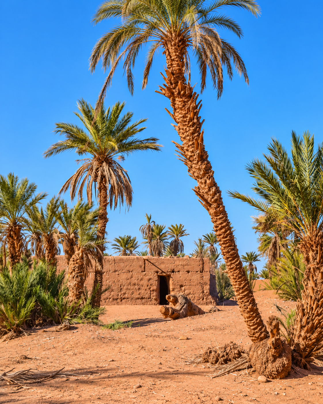
Date palms beside an earthen wall and sandy oasis path

Oasis edge

The palm belt explains why settlement can exist here at all.

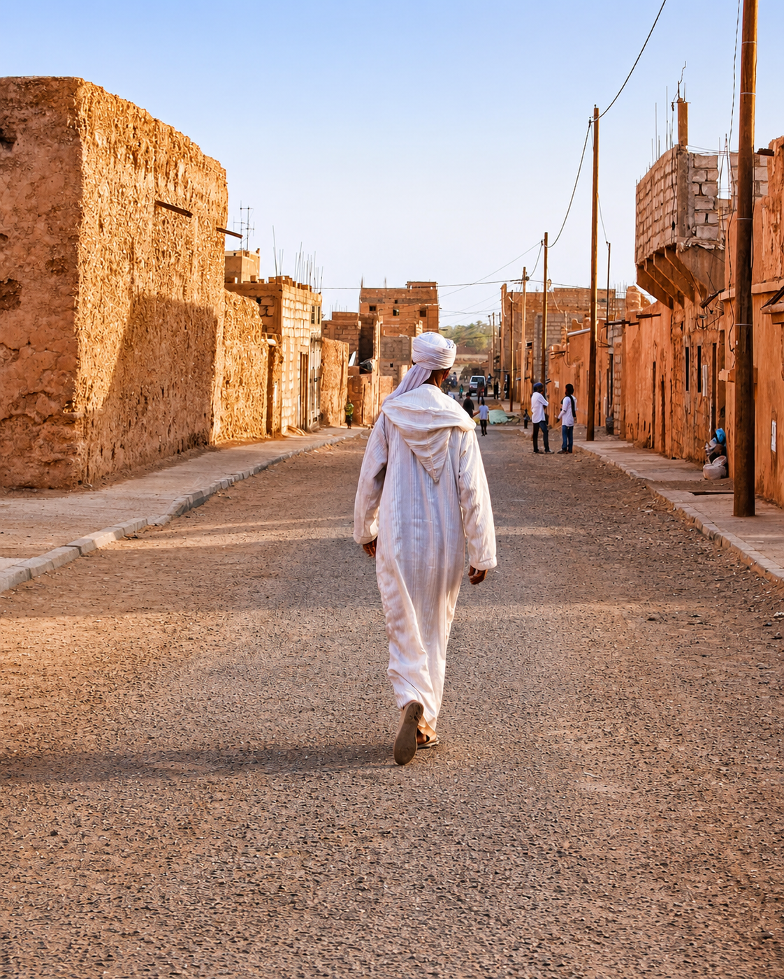
A man walking along a village street between earthen walls

Earthen lanes

Earthen walls and everyday movement give the settlement its human scale.

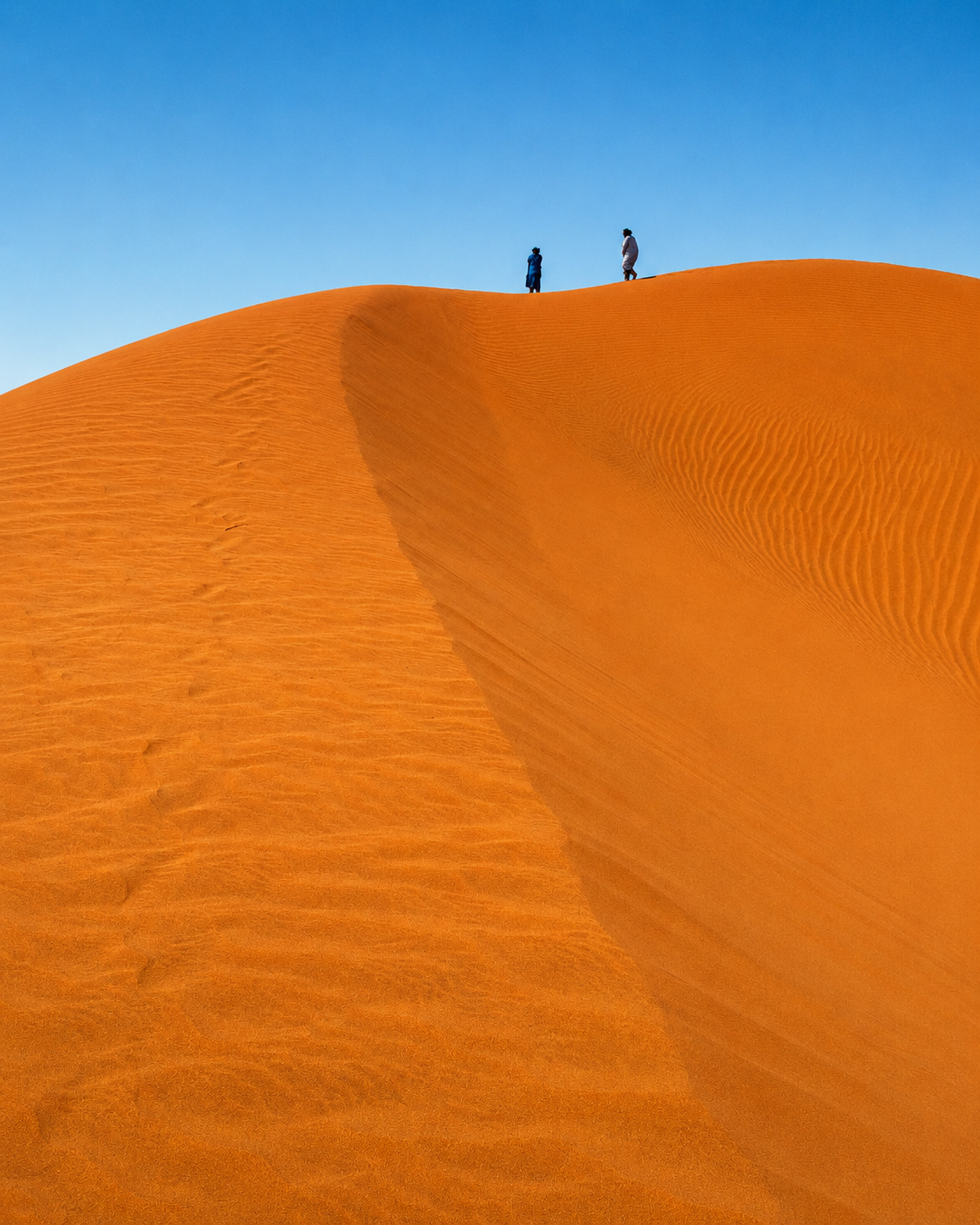
Two walkers on the crest of an orange sand dune

Dune horizon

Dunes beyond the village introduce the wider Saharan landscape.

M’Hamid at a glance

Lower Drâa oasis

M’Hamid sits in the southern reach of the Drâa Valley, where palm-grove settlement gives way to open Saharan terrain. The oasis context is essential, not decorative.

Gateway to Erg Chigaga

The town is a practical base for guided routes toward Erg Chigaga. This is remote desert travel, normally organised with local drivers, guides and appropriate preparation.

Small, not simple

The settlement is modest in scale, but its meaning is layered: old village fabric, new village services, palm groves, desert tracks, markets, festivals and nomadic heritage.

Cultural continuity

Events such as nomadic and Saharan music festivals make M’Hamid a cultural meeting point. Dates and access vary, so visitors should check current information before travelling.

A clearer reading of the place

An oasis shaped by water, sand and movement

To understand M’Hamid, read the oasis and desert together. Palm groves, earthen walls, village services and desert departures are not separate attractions: each explains how life and travel are negotiated at the Sahara’s edge.

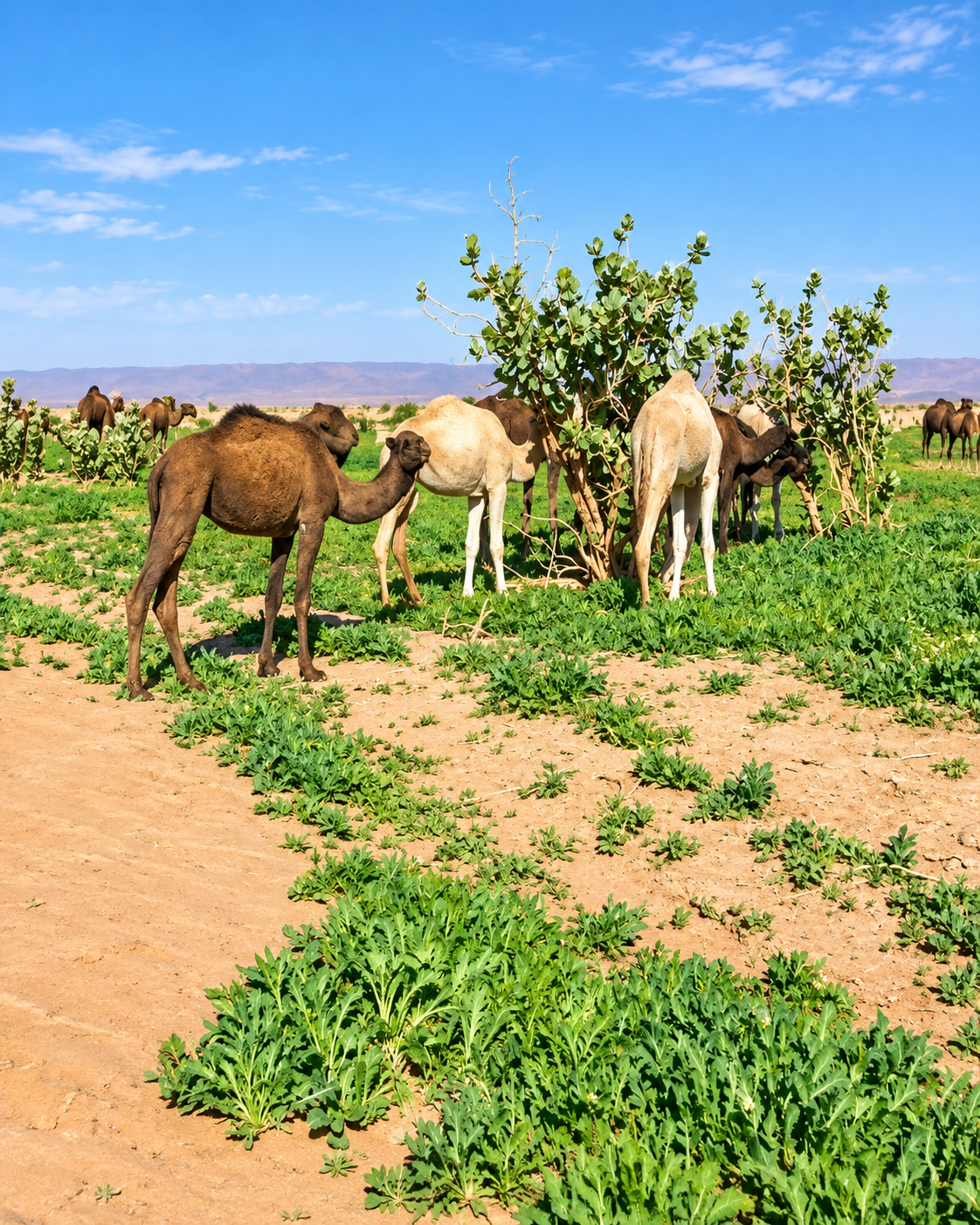
Dromedaries grazing on green cultivated ground beside the oasis
Layer 1

Oasis life

Palms, cultivated ground, livestock and water scarcity define the logic of settlement. The oasis is a living environment whose resources and everyday routines deserve care.

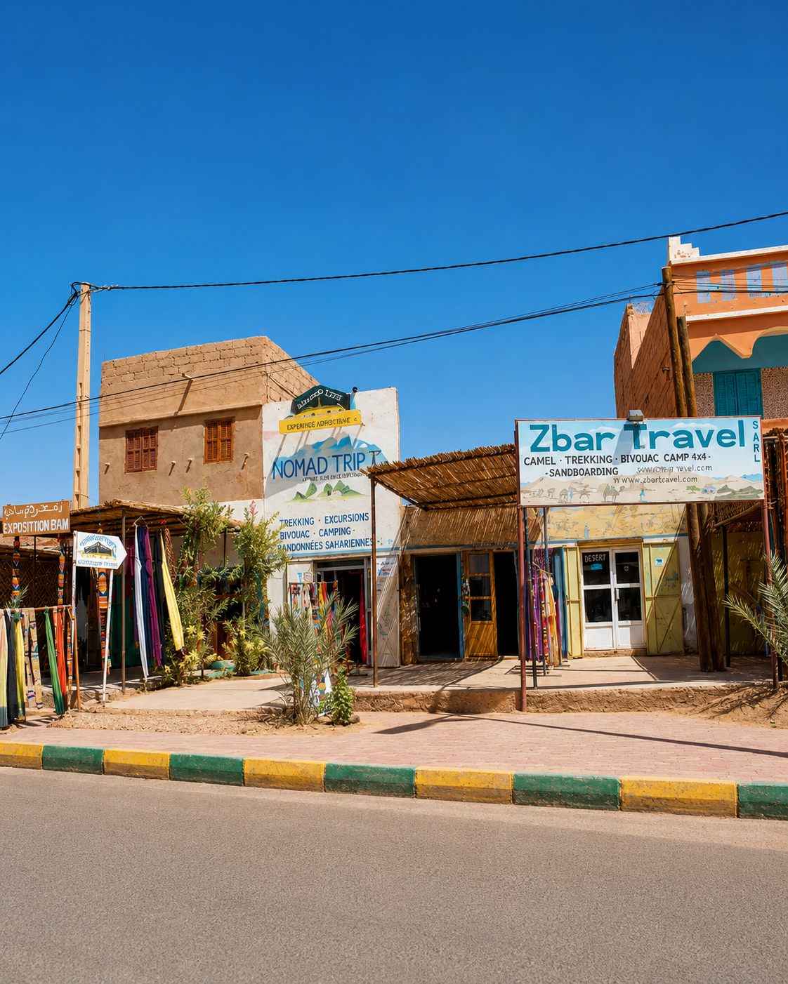
Local travel offices and everyday services beside the village road
Layer 2

Living village fabric

M’Hamid Jdid carries much of the everyday movement: small services, cafés, departures, supplies and local routines that sit beside the older earthen identity of the oasis.

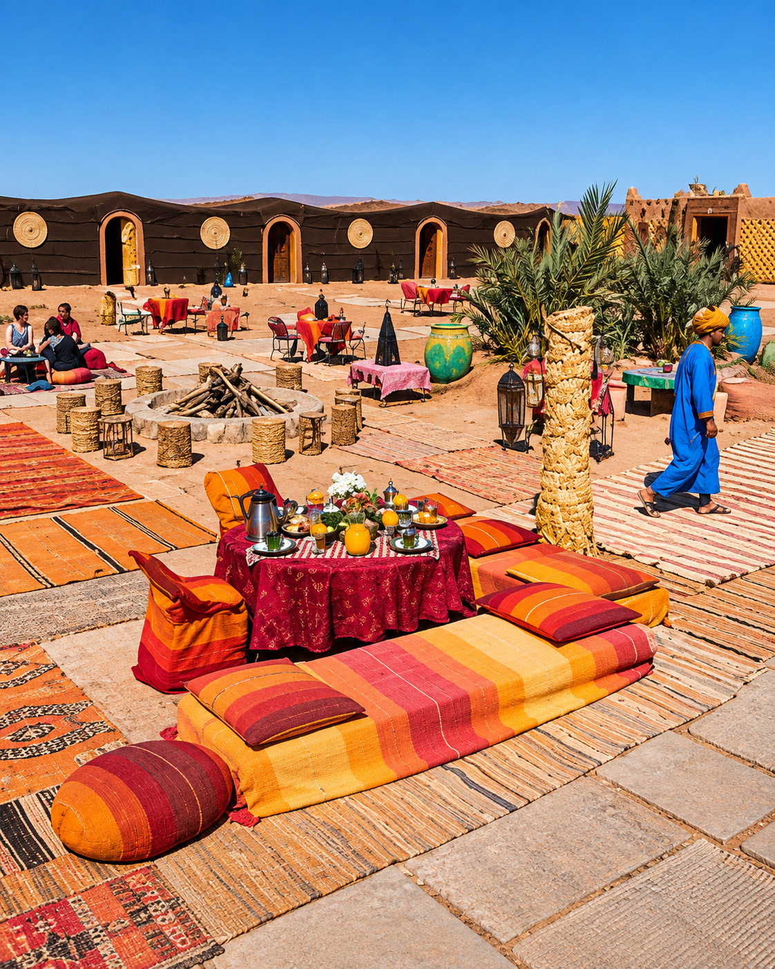
Textiles, low tables and a communal gathering in a desert camp courtyard
Layer 3

Saharan hospitality

Tea, textiles, music and shared spaces carry meaning here, but they should be approached respectfully. Culture is lived by communities, not performed only for visitors.

Landmarks & orientation

Read M’Hamid through six defining places

No single monument explains M’Hamid. These six orientation points reveal the relationship between village life, palm oasis, older earthen fabric, desert departure and the wider Sahara beyond the paved road.

1
M’Hamid Jdid

The newer village area carries many practical services, cafés, supplies and departures for desert travel.

2
M’Hamid Bali

The older village fabric gives a quieter reading of earthen settlement, shade, walls and palm-grove life.

3
Palm oasis

The palm belt and cultivated edges explain how settlement survives at the desert threshold.

4
Oued Drâa edge

The dry or seasonal river context shapes the landscape, the oasis and the sense of environmental fragility.

5
Nearby dunes

Small dune landscapes around the settlement introduce desert texture before the longer route to Erg Chigaga.

6
Erg Chigaga route

The deeper dune journey usually begins from M’Hamid and continues by guided track into remote Sahara terrain.

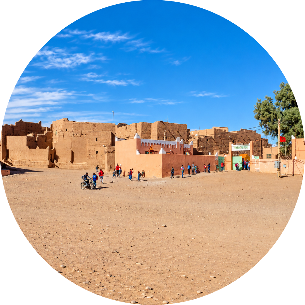
Open village square bordered by earthen buildings, with people crossing the sandy ground
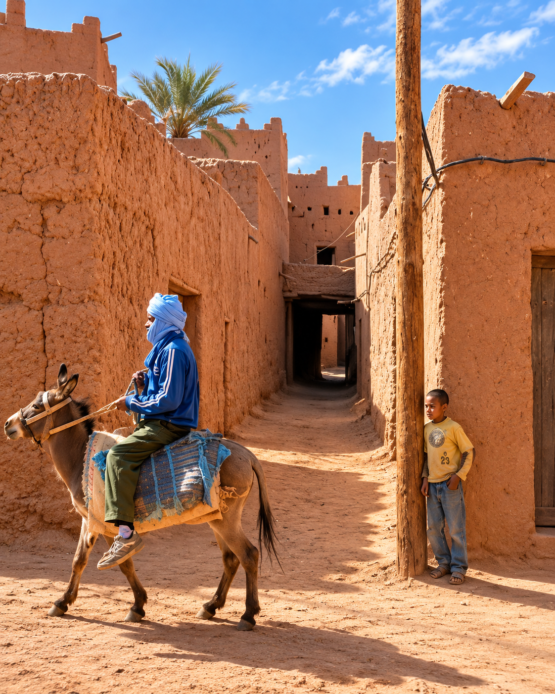
An earthen village lane with timber supports, a donkey and local residents

Earthen memory

Earthen lanes — memory at the desert edge

M’Hamid’s older fabric is not a restored stage set. Its value lies in the way earthen walls, narrow passages, palm shade and sandy ground reveal a form of settlement adapted to climate, scarcity and movement. Visitors should look with patience and respect: some spaces are lived, some are fragile, and not every meaningful place is a formal attraction.

  • Adobe surfaces show how local material and climate shape architecture.
  • Palm shade, narrow passages and earth tones create comfort through simple spatial intelligence.
  • The older village layer helps visitors understand M’Hamid as a lived oasis, not only a desert departure point.

Architectural reading

Three desert-edge languages to notice

Earth and shade

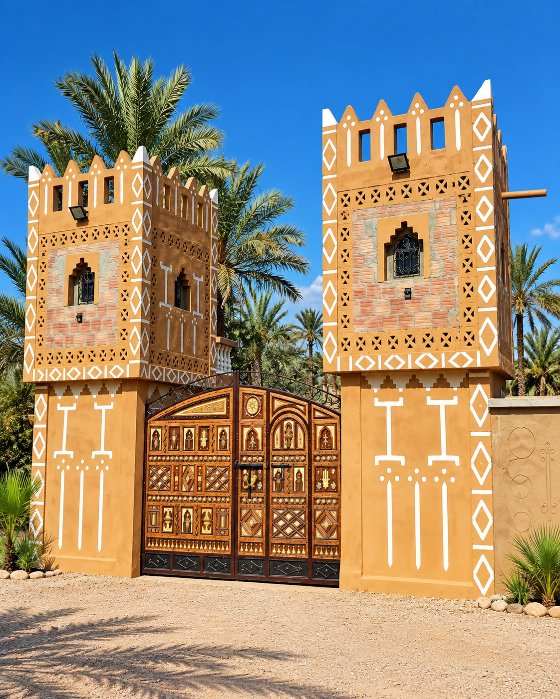
The most important surfaces are often the simplest: earthen walls, small openings, shadowed lanes and palm cover. Architecture here is less about display than protection, climate and continuity.

Oasis and edge

Settlement, palms and open ground form a readable sequence. The visitor moves from services and houses to cultivated shade, then to gravel plain, dunes and tracks.

Movement and departure

Routes matter as much as buildings. Vehicles, guides, supplies, weather and timing shape the experience because beyond M’Hamid the Sahara is not an urban attraction but a demanding landscape.

Visual atmosphere

Sand, palms and quiet thresholds

Nearby highlights

Nearby desert and oasis extensions

M’Hamid is best understood through extensions that require different expectations: Erg Chigaga for a remote dune journey, Iriqui National Park for desert landscape context, and the lower Drâa route through Zagora and Tamegroute for oasis, pottery and manuscript heritage.

Erg Chigaga

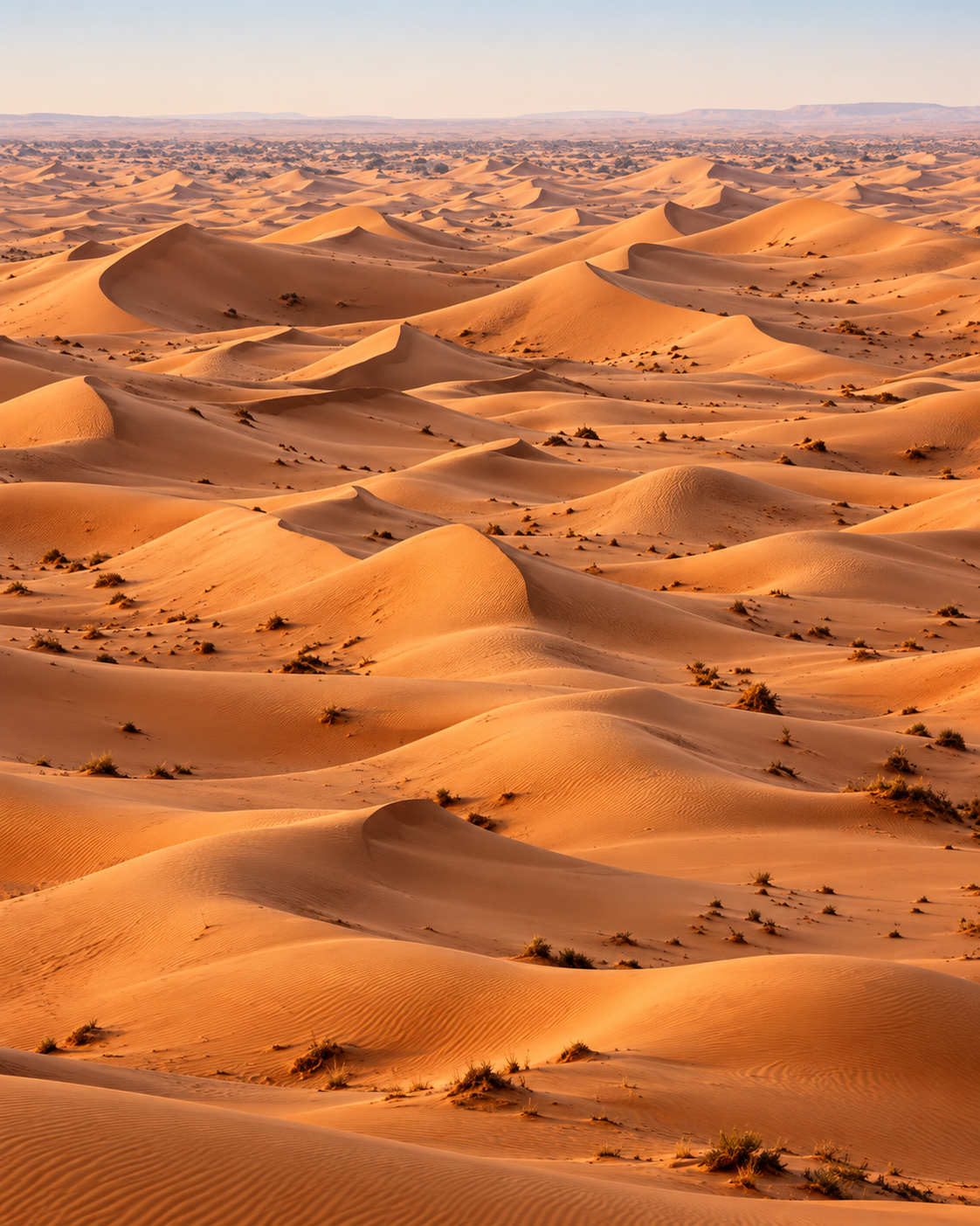
A remote sand-sea reached from M’Hamid by guided tracks. Treat it as a serious desert excursion with timing, vehicle, weather and local guidance considered in advance.

Rolling sand dunes and scattered desert vegetation at Erg Chigaga

Iriqui National Park

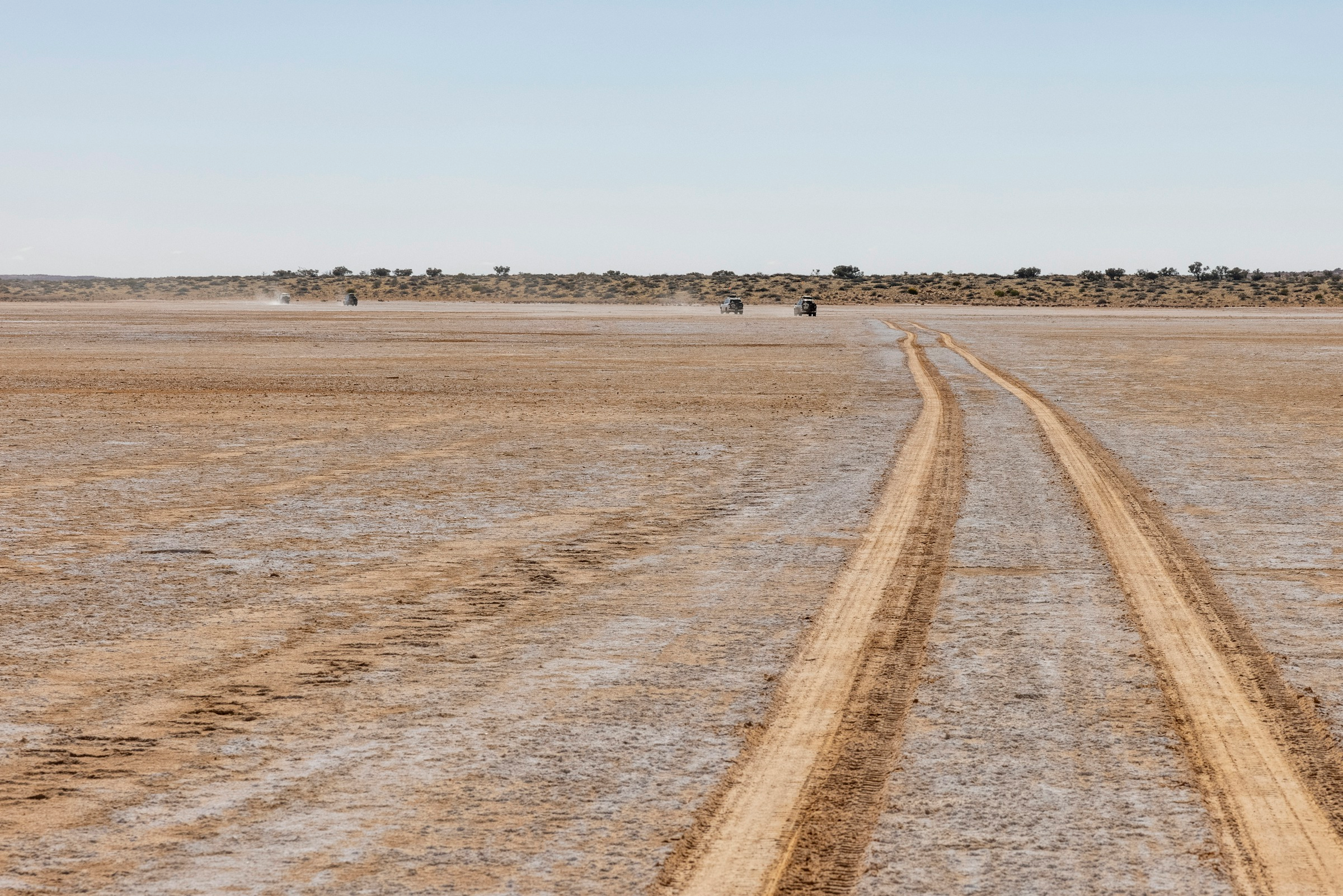
The wider desert landscape west of the dune route includes dry lake and hamada environments. Access and conditions vary, so this belongs in a planned desert itinerary rather than an improvised detour.

Vehicles crossing the broad, flat dry lakebed in Iriqui National Park

Zagora and Tamegroute

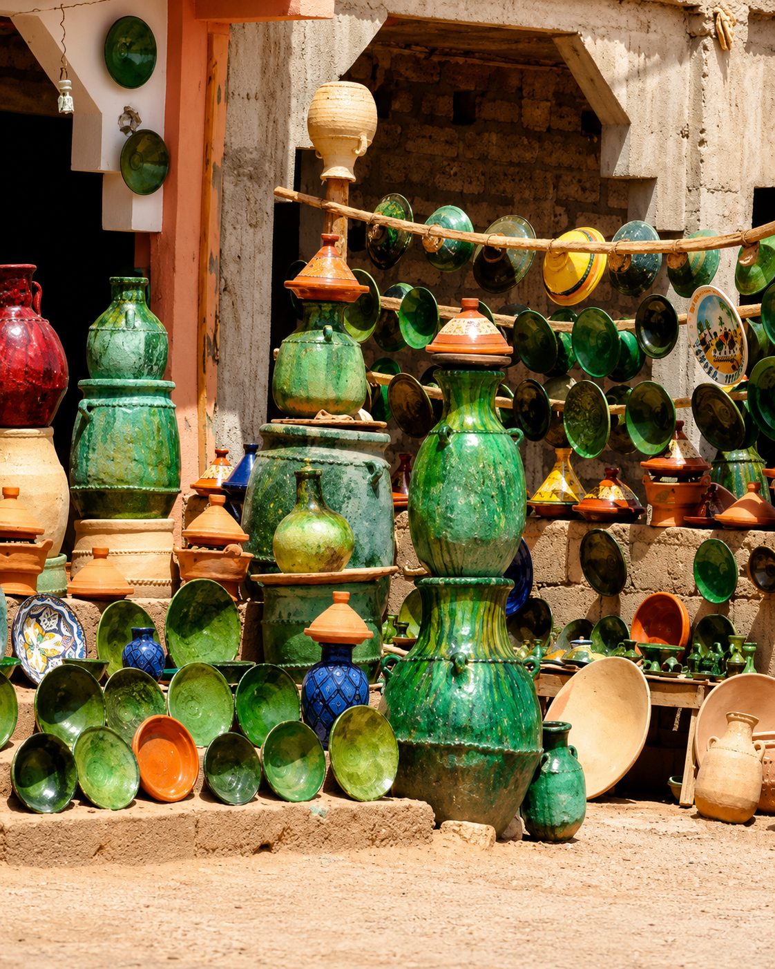
On the route north, Zagora and Tamegroute help connect M’Hamid to the lower Drâa’s wider story of oasis settlements, ceramics, manuscripts and southern Moroccan travel.

Green-glazed pottery displayed at a Tamegroute craft shop in the Zagora region
Travel note: desert tracks, heat, wind, vehicle access, festival dates and local arrangements can change. Check current official or trusted local information before travelling.

Practical orientation

How to experience M’Hamid well

  • Arrive with realistic expectations: M’Hamid is a small oasis settlement, not a dense imperial city.
  • Separate the village visit from the Erg Chigaga excursion; the desert route needs its own time and preparation.
  • Use local guides or trusted operators for off-road desert travel beyond the paved route.
  • Plan around heat, wind, water, fuel, communications and changing track conditions.
  • Respect private homes, fragile earthen structures and oasis environments; not every photogenic corner is public.

A strong first visit

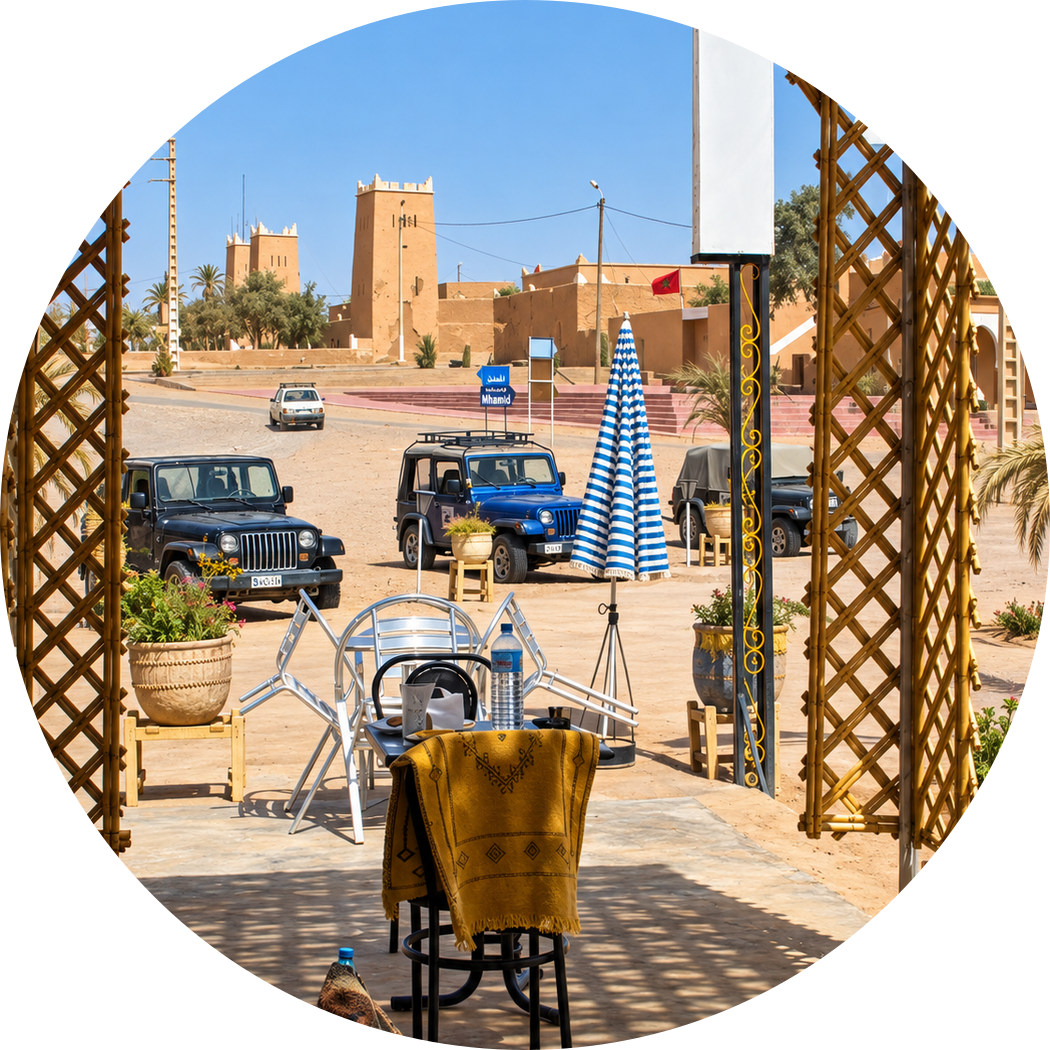
Village square and cafés seen through a shaded lattice arch

Begin in M’Hamid Jdid for practical orientation, continue toward older earthen lanes and the palm-grove edge, then keep Erg Chigaga as a separate guided desert journey. The best visit is calm, prepared and respectful of local life.

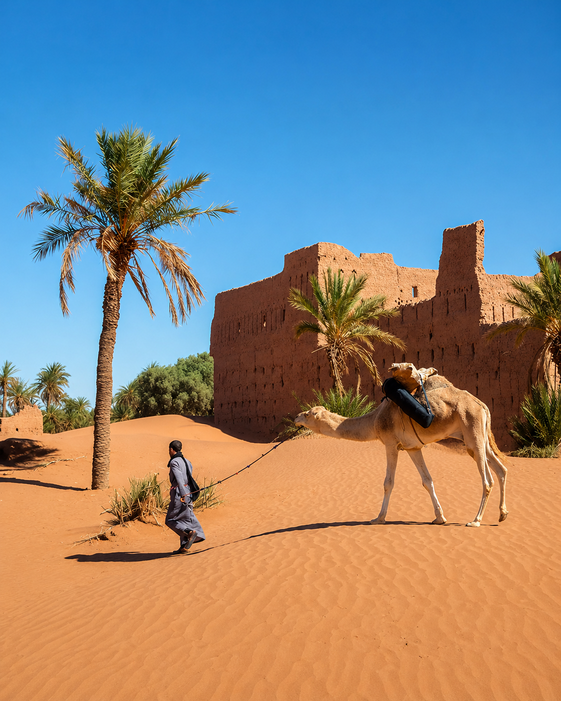
A dromedary and its handler beside palm trees and earthen village architecture

Go deeper with Exotic Morocco

M’Hamid El Ghizlane — Premium Visual City Guide

Continue with a visual guide approach that connects the lower Drâa oasis, earthen settlement, Saharan culture, Erg Chigaga route planning and practical desert orientation into one carefully structured journey.

• Oasis context• Desert orientation • Earthen architecture• Culture & local life • Practical travel guidance• Nearby highlights

Continue the journey

Continue the journey through Morocco’s Sahara edge

Move from the lower Drâa oasis toward dunes, desert tracks, southern villages and the wider cultural landscapes of Morocco’s Sahara edge.