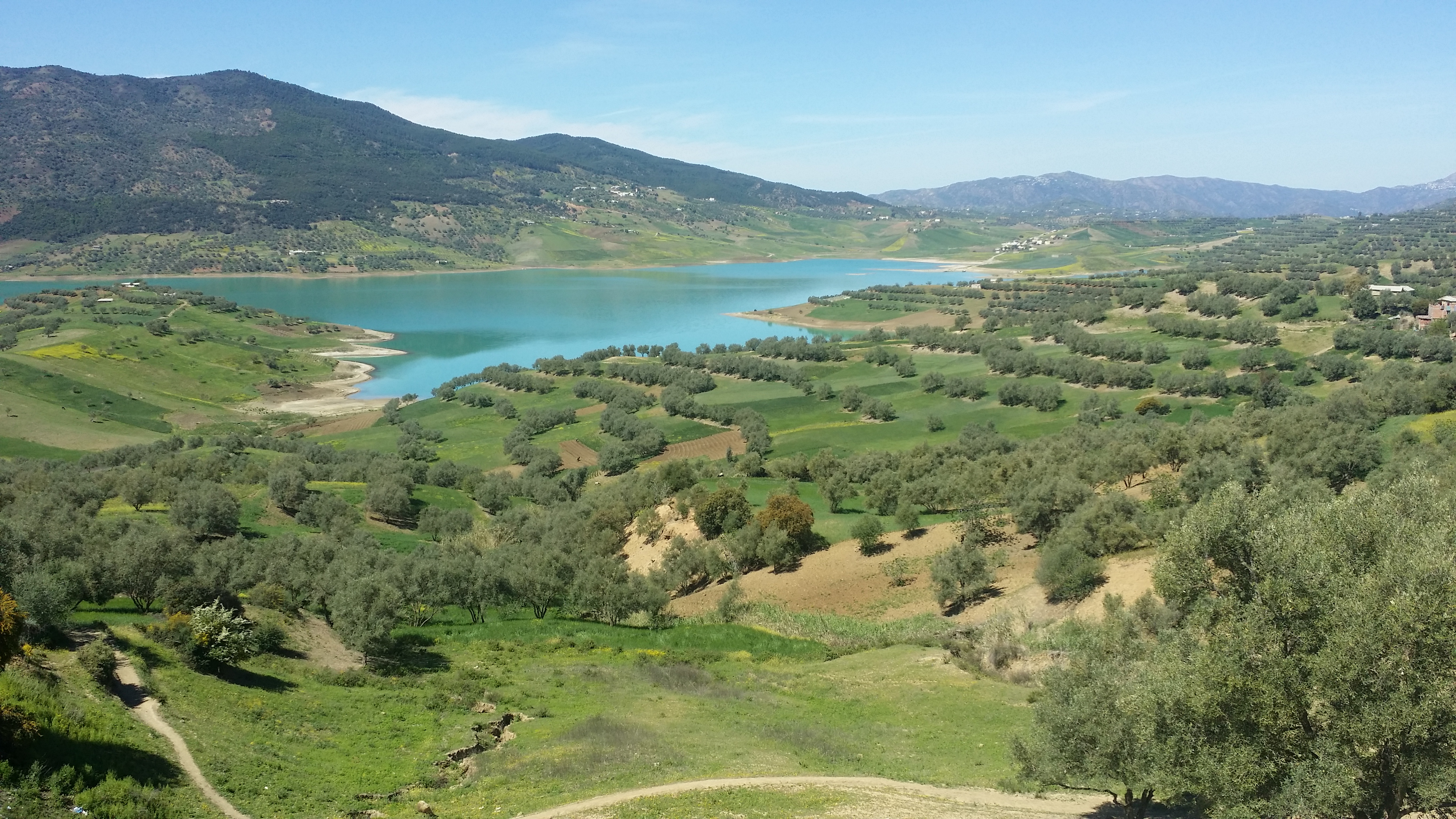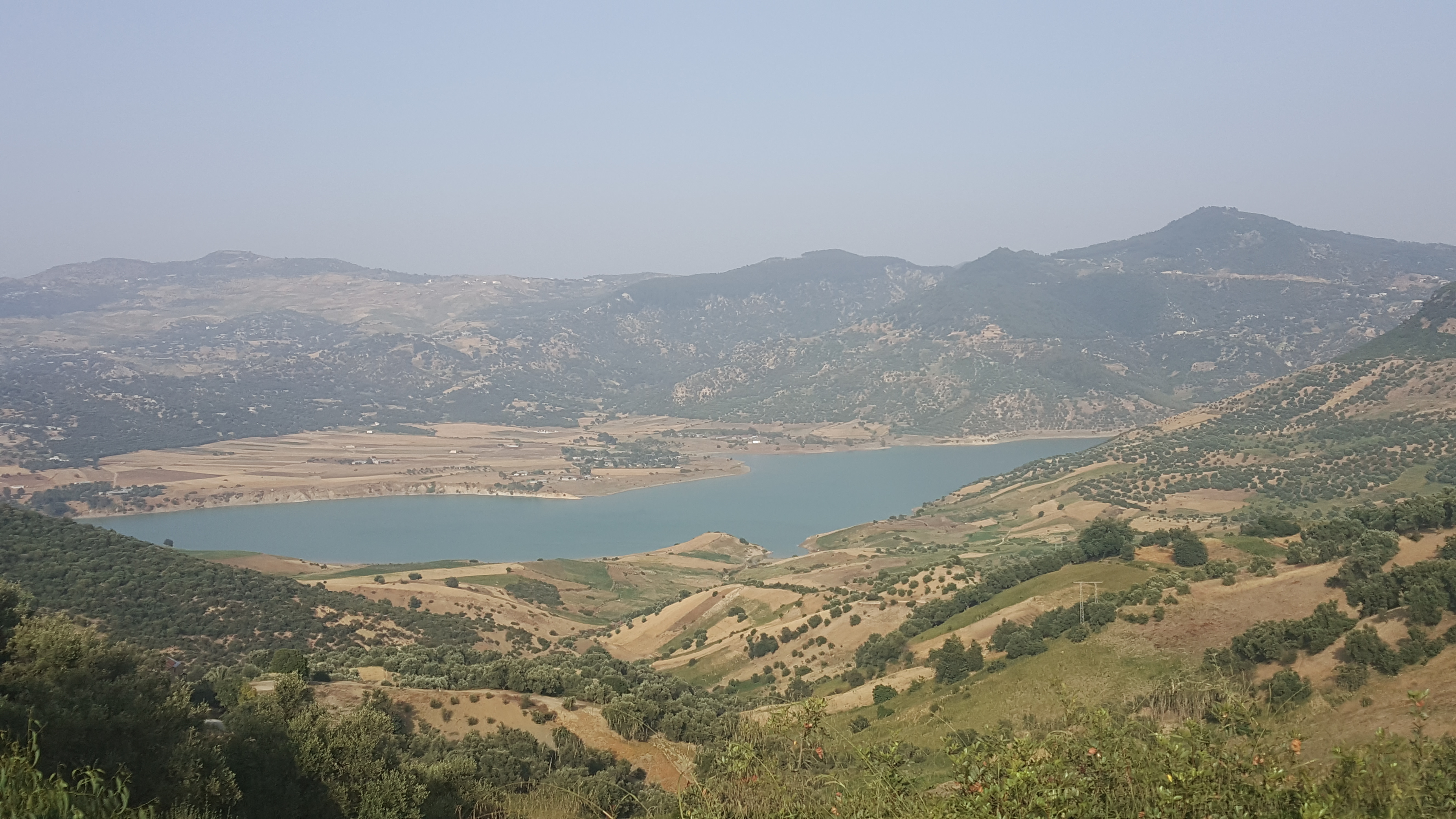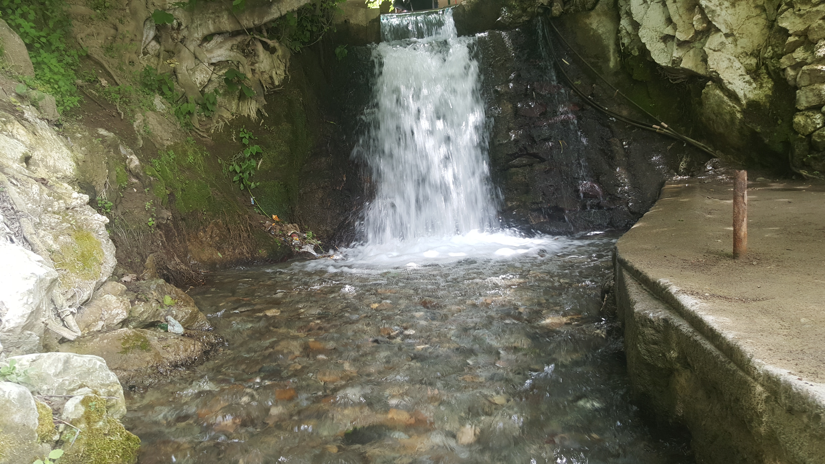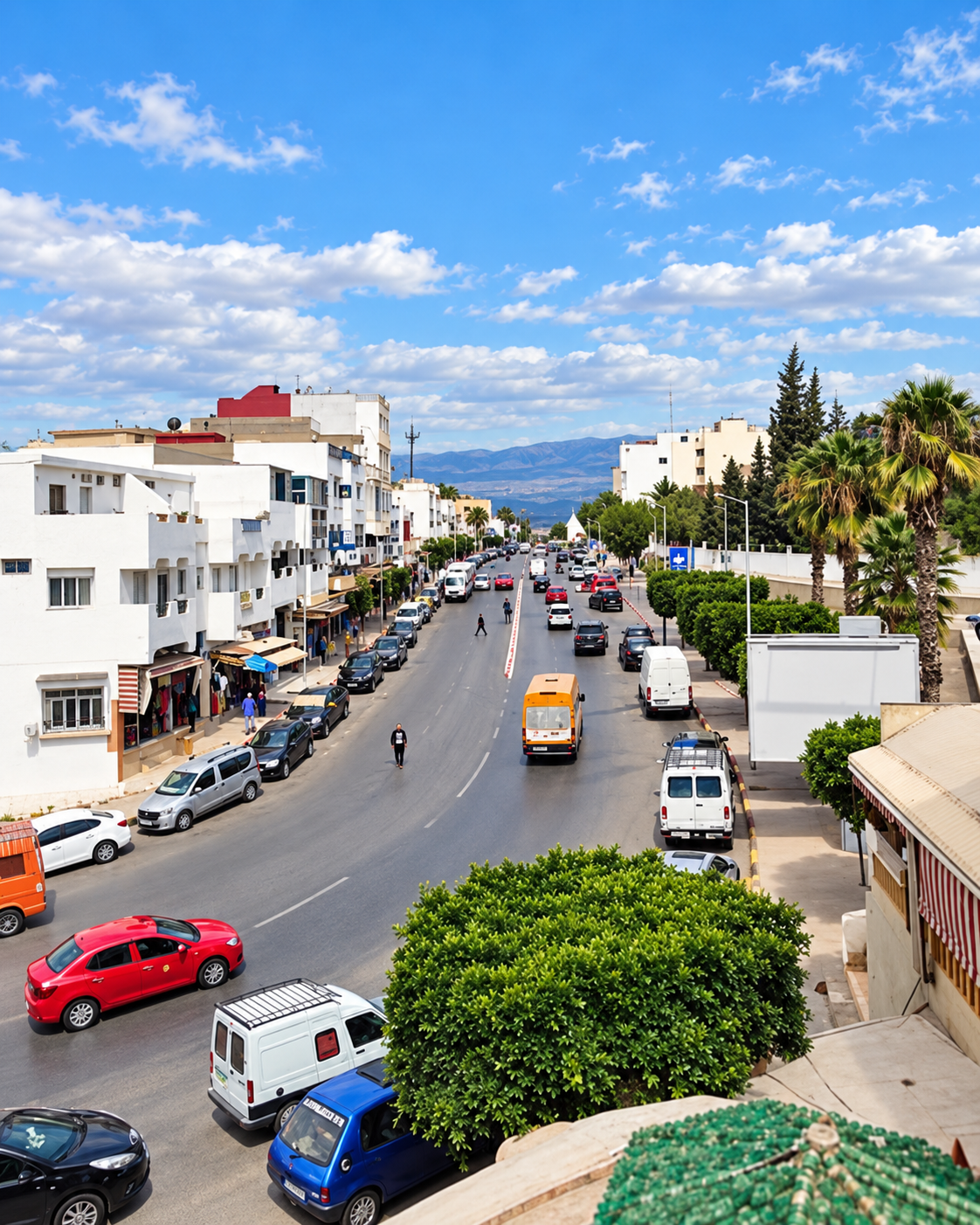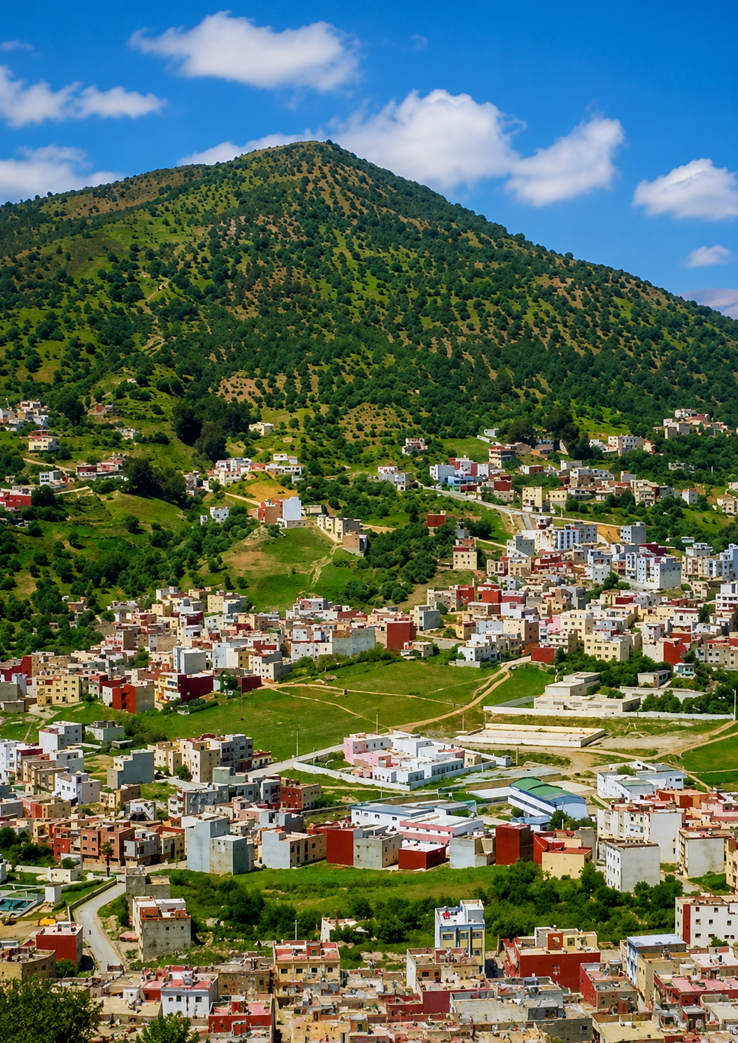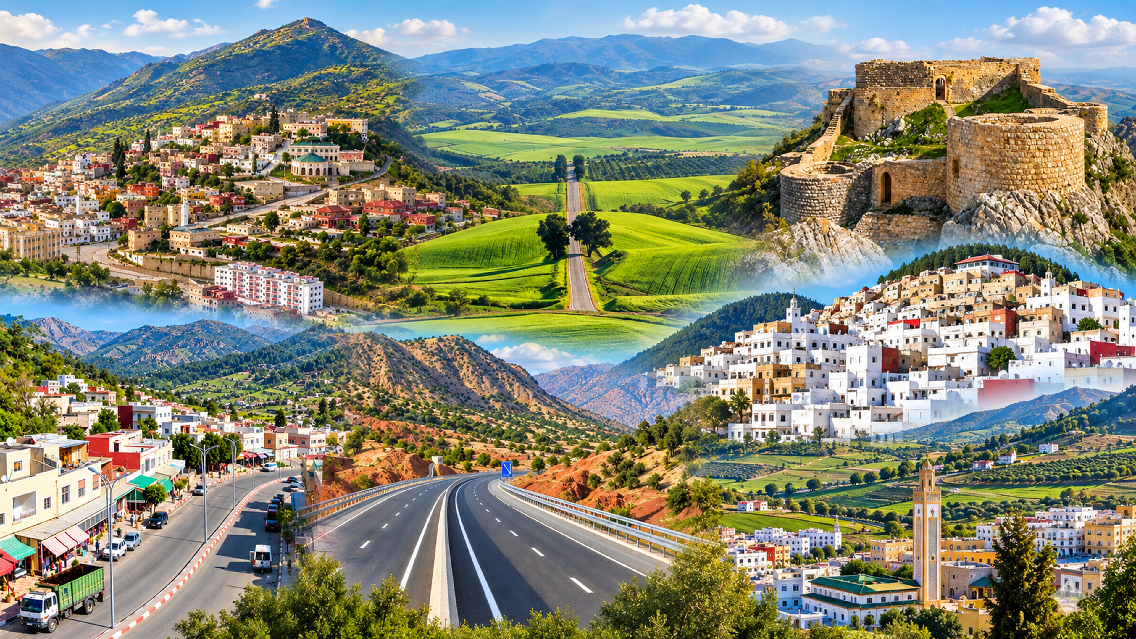
Taounate and southern Rif landscapes in the supplied editorial collage

Southern Rif City of Morocco

Taounate Southern Rif slopes, valley light and Jbala countryside

Taounate sits where northern Morocco becomes steep, green and quietly rural: a city of slopes, valley views, Jbala memory, fig and olive country, and routes toward rivers, reservoirs and mountain villages. It is not a city of grand spectacle. Its value is in orientation, landscape and local rhythm.

Why Taounate matters

Beyond the road from Fez

Taounate is often passed over because it does not announce itself with grand gates or a famous medina image. That is exactly why it deserves a different kind of reading. The city belongs to the southern Rif: a world of slopes, valleys, small agricultural economies, village routes and a slower mountain-edge way of moving through Morocco.

For visitors, Taounate works best as an orientation city. It helps connect Fez with the Jbala countryside, the Oued Sra valley, Sahla, the Ouergha basin and the wider northern landscapes that lead toward Ouezzane, Chefchaouen and the Rif.
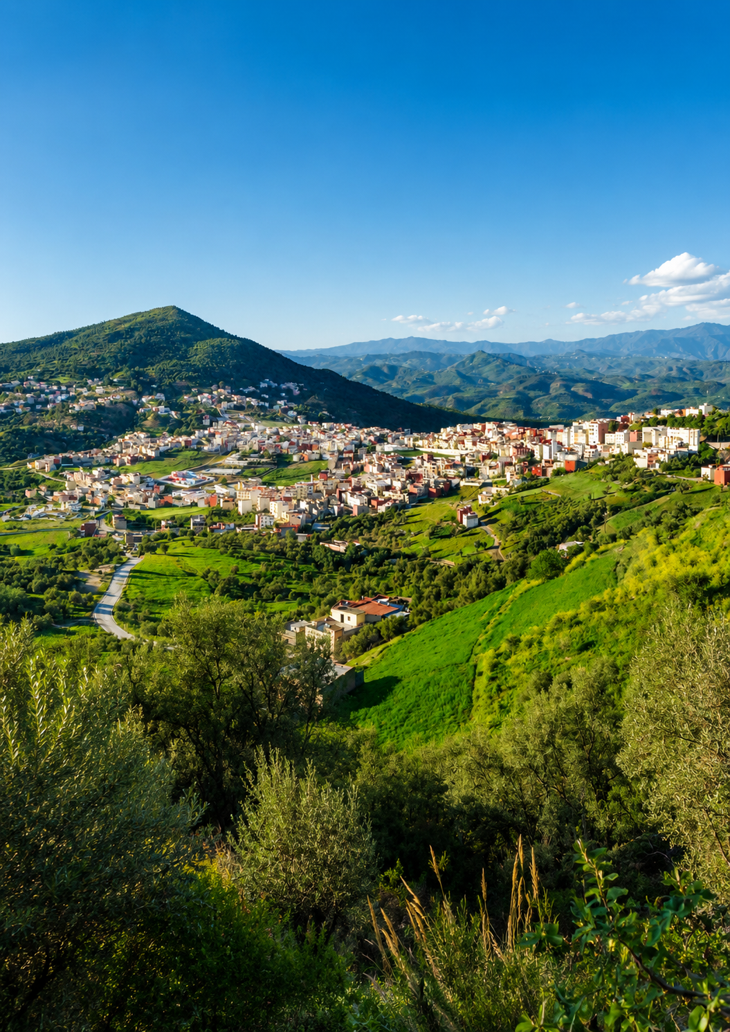
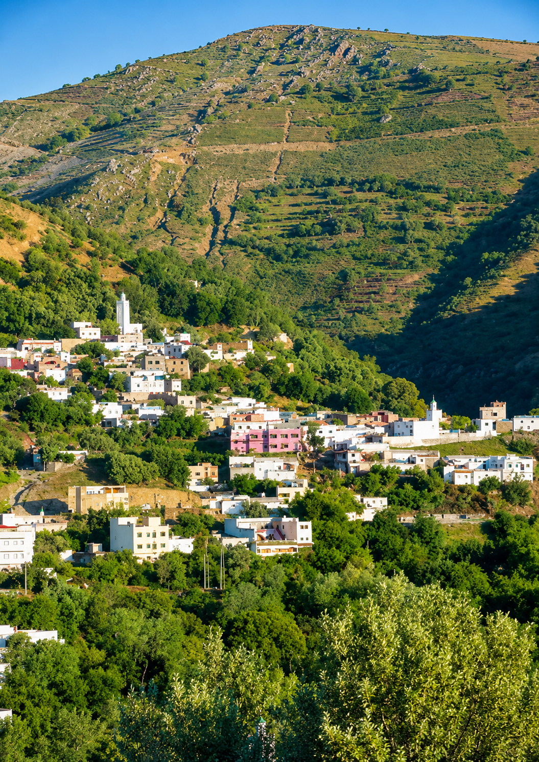
Green valley and hillside buildings around Taounate

A city of slopes and restraint

Taounate asks for patient looking: a ridge, a road, a valley, a souk rhythm, a water route and the agricultural land that explains the province around it.

EXPLORE

Taounate

Historical orientation

From Jbala highlands to provincial crossroads

Taounate is best understood through geography first. Its identity comes less from a single monument than from the southern Rif setting around it: high ground, valleys, watercourses, cultivated slopes, market movement and Jbala rural culture. The modern city serves as the capital of Taounate Province within northern Morocco's Fez-facing administrative landscape, while the surrounding countryside keeps much of the place's deeper character visible.

01Mountain setting

Ridges and valleys

The city is tied to the southern Rif, where steep ground, river valleys and gorge landscapes shape settlement, travel and the way people read distance.

02Jbala country

Rural memory

Taounate belongs to a wider Jbala cultural landscape of villages, agriculture, local markets, hillside routes and mountain-edge hospitality.

03Agricultural seasons

Figs and olives

The province is strongly associated with cultivated valleys and orchards, especially figs and olives, alongside cereals and other rural production.

04Today

A provincial capital

Modern Taounate is a service and orientation point for nearby countryside, water landscapes, village roads and routes north of Fez.

A visual bridge

Three glimpses between ridge, valley and town

Taounate is a place to read through transitions: the wide valley below, the hillside edge of the town, and the rural texture that continues beyond the urban centre.

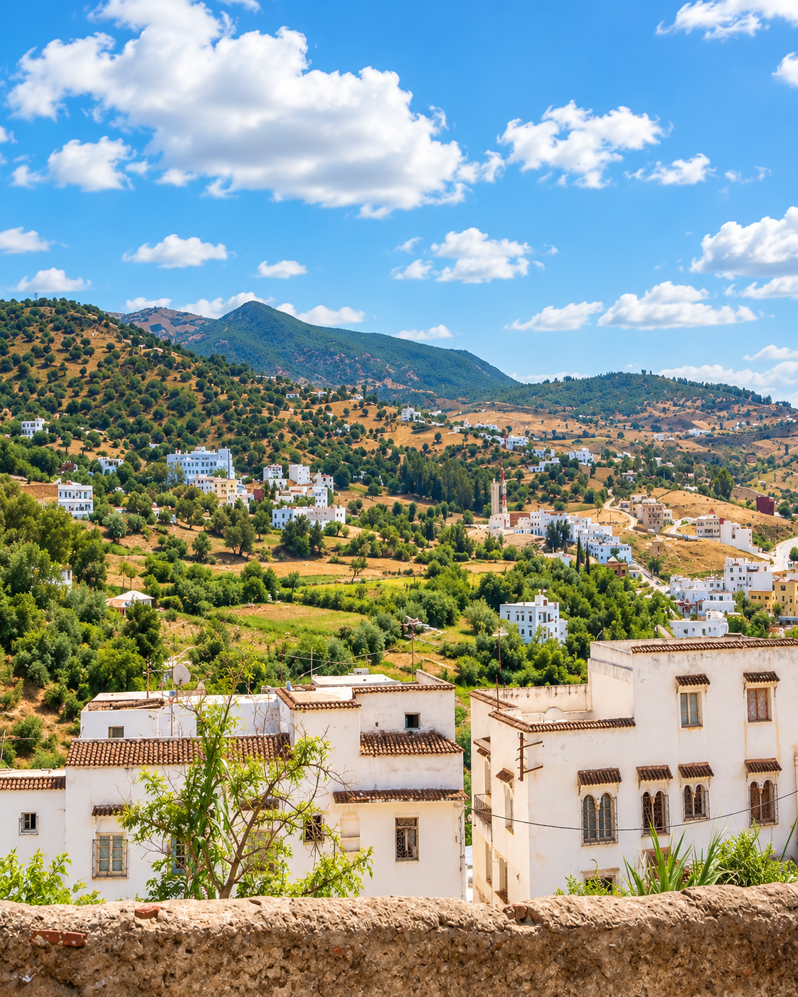
Houses and cultivated green slopes in the Taounate countryside

Valley light

The city opens toward slopes and low valleys where distance feels close but roads move carefully.

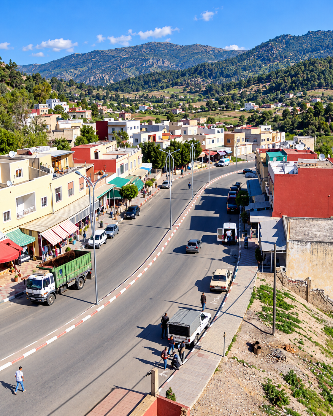
A town road lined with shops and buildings in Taounate

Hillside arrival

Arrival is shaped by height, bends in the road and the slow reveal of houses across the ridge.

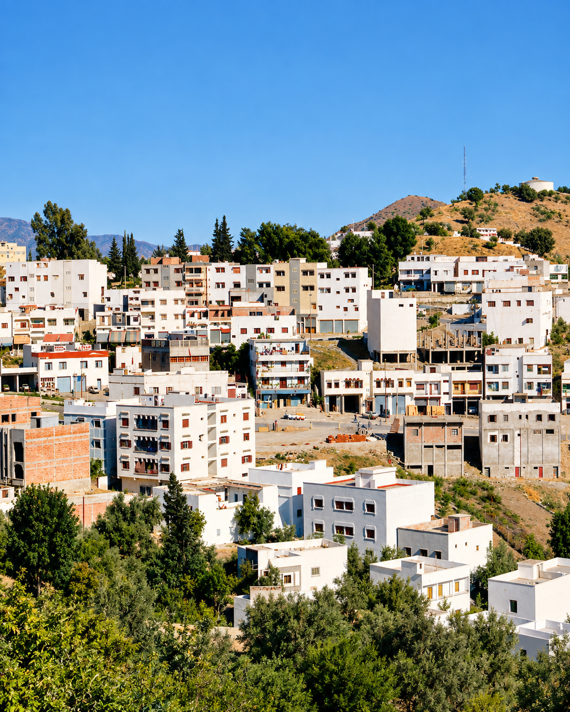
White buildings, orchards and rolling hills around Taounate

Rural texture

Olive trees, small fields and modest urban edges keep the city connected to its countryside.

Taounate at a glance

Southern Rif setting

Taounate is a northern Moroccan city shaped by the southern Rif rather than by a flat urban plain. Its slopes and nearby valleys are not background scenery; they are the first key to understanding the place.

Capital of the province

The city serves as the capital of Taounate Province in the wider Fez-facing north, giving it a practical role for surrounding rural communities and nearby routes.

Fig and olive country

The province is known for agricultural landscapes, especially figs and olives. This is a place where food culture begins with fields, orchards, markets and seasonal work.

Water and valley routes

Sahla, the Oued Sra valley, the Ouergha basin and Al Wahda route context make Taounate useful for travellers interested in the geography behind northern Morocco.

A clearer reading of the city

A city shaped by slopes, markets and valley routes

To understand Taounate, read the urban centre and the countryside together. The city is not separate from its rural province: roads, markets, family visits, agricultural seasons and water landscapes keep the two constantly connected.

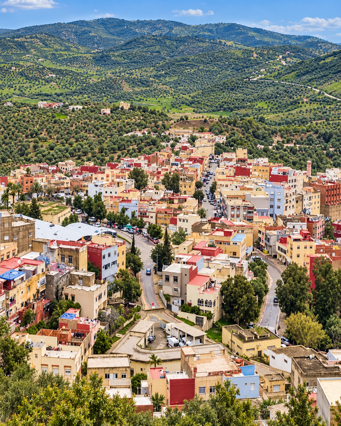
Buildings following the steep slopes of a green valley
Layer 1

Topography first

The slopes explain the city better than a monument list. Height, bends, valley edges and outlook points shape how Taounate is approached and remembered.

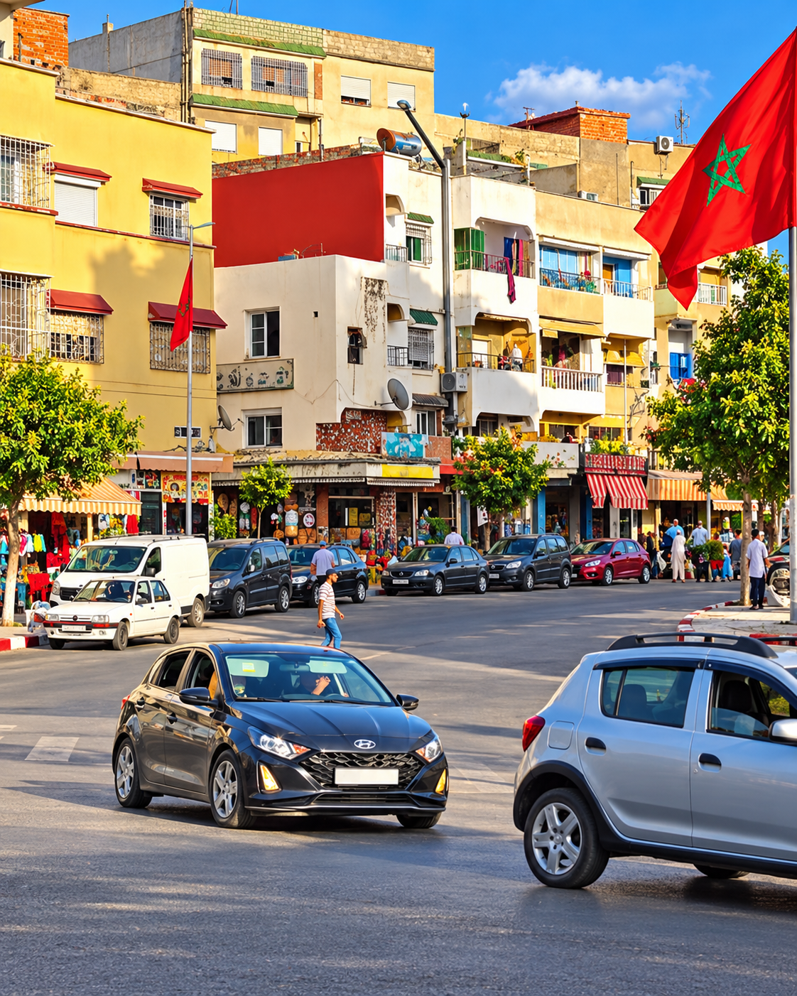
Cars, shops and Moroccan flags along a town street
Layer 2

Local movement

Taounate's daily life is practical and regional. Shops, services, roads and markets connect the town with villages and cultivated land around it.

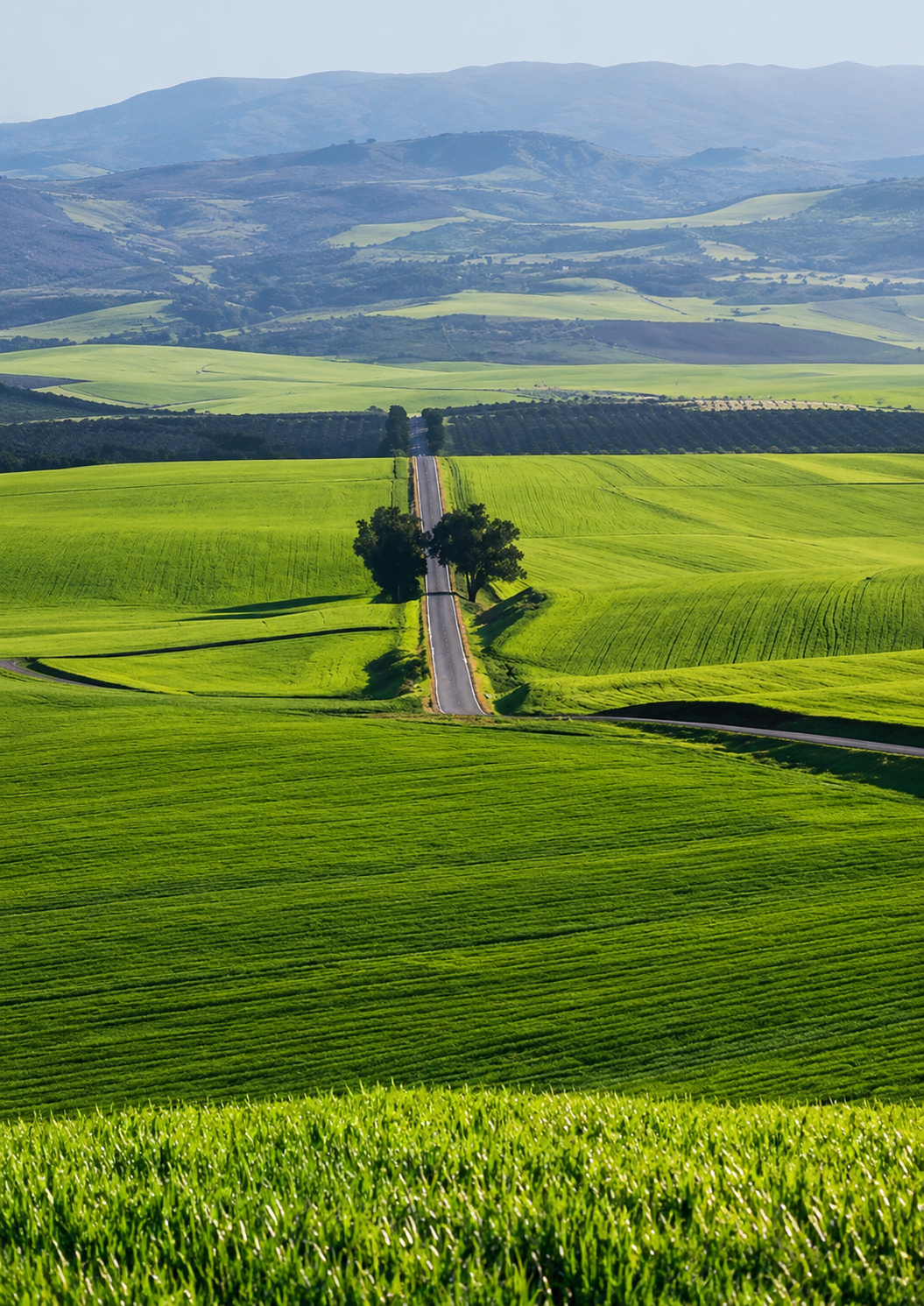
Cultivated green fields and a tree-lined road in the countryside
Layer 3

Agricultural memory

Figs, olives, cereals and orchards give the province a seasonal identity. The landscape is part of the culture, not merely something to photograph from the road.

Landmarks & orientation

Read Taounate through six defining places

Taounate's visitor orientation is landscape-led. These six references help make sense of the city, its province and the nearby countryside without inventing monuments the place does not need.

1
Taounate ridge views

Start with the city as a hillside settlement. The best first reading is the relationship between houses, roads, slopes and valleys.

2
Oued Sra valley

The nearby valley gives Taounate much of its geographic character and helps explain the town's elevated position.

3
Gargara gorges

Close to the city's wider landscape, the gorges add a more rugged reading of water, stone and relief.

4
Sahla Dam

A local water landscape near Taounate, useful for understanding how reservoirs and valleys shape the province.

5
Ouergha and Al Wahda

The Ouergha basin and Al Wahda route context connect Taounate to one of northern Morocco's major water systems.

6
Bouadel countryside

Bouadel is associated with springs, waterfalls and rural recreation, but access and conditions should be checked locally before travelling.

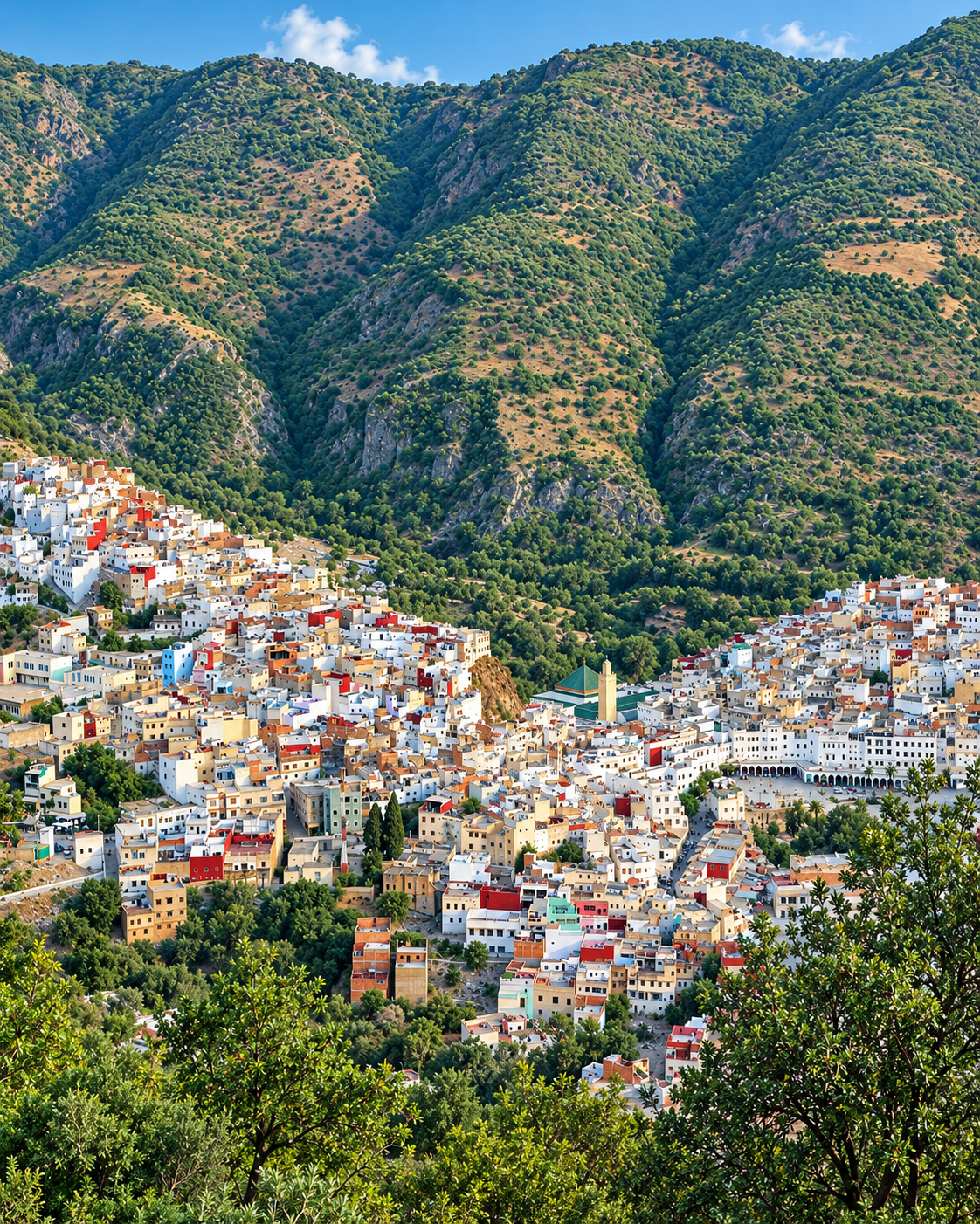
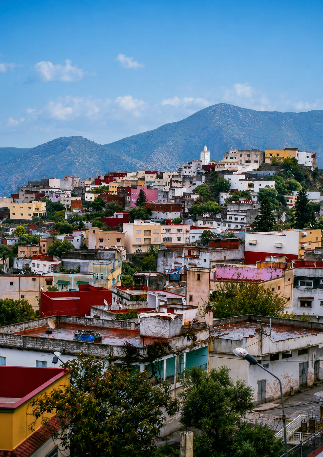
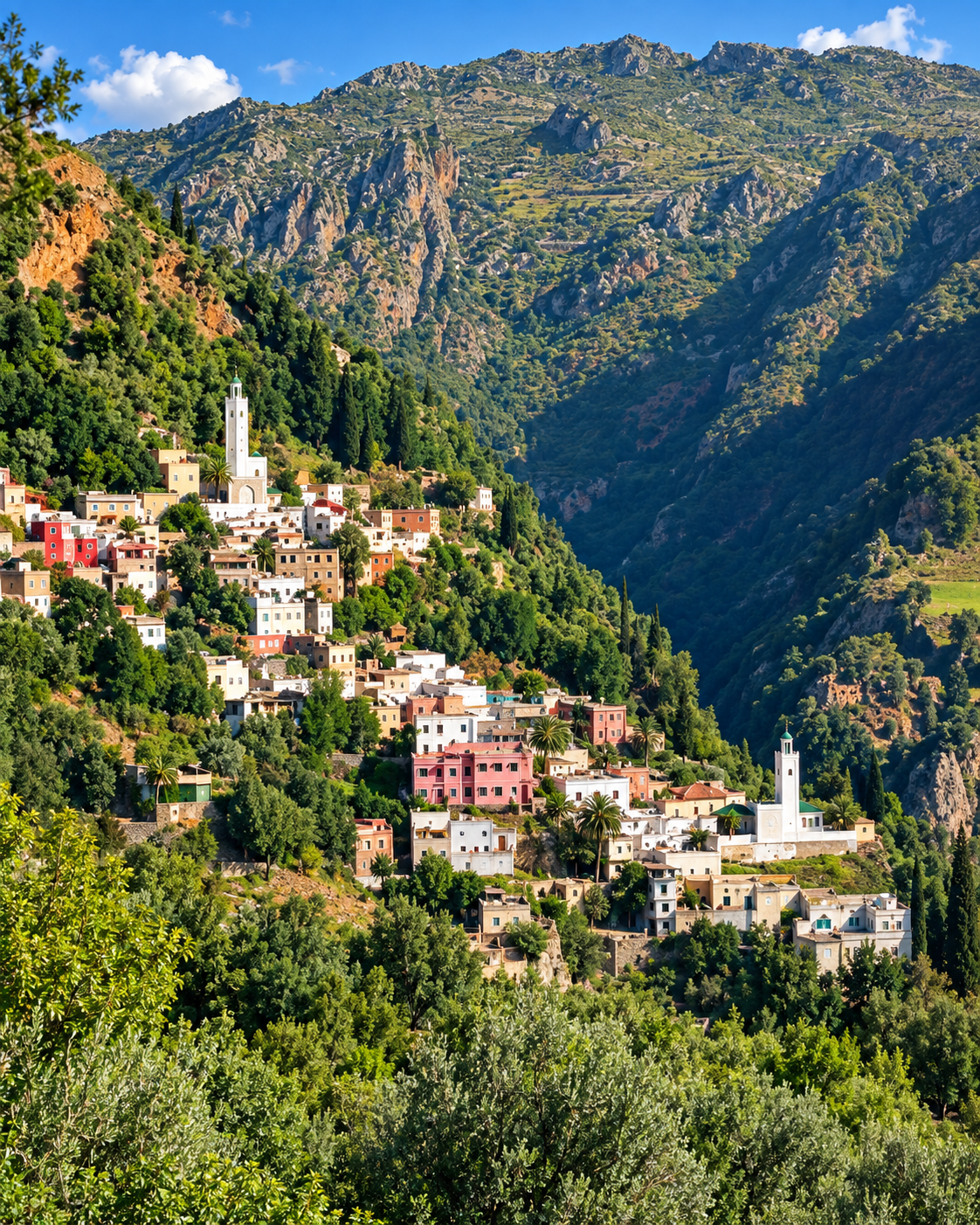
Colourful hillside homes with the mountains behind Taounate

Taounate ridge views

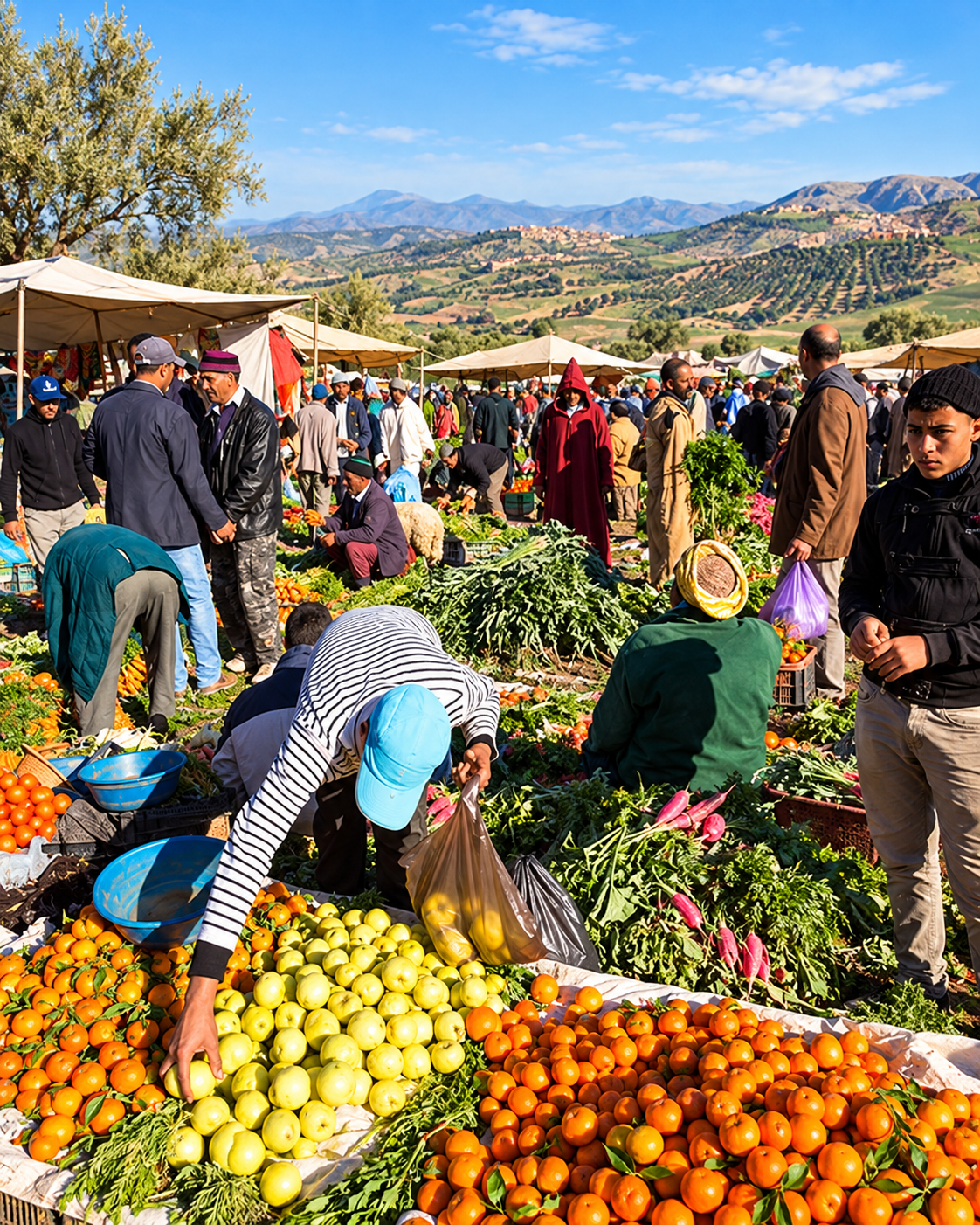
Fresh produce stalls and shoppers at a rural market

A Jbala landscape identity

Taounate is read through slope, water and cultivation

In Taounate, identity is carried by landscape as much as by architecture. The city gathers the province's rural rhythms: fields and orchards, routes to villages, seasonal produce, watercourses, family visits and quiet viewpoints. A good visit respects that scale. It does not force Taounate to behave like Morocco's better-known city pages; it lets the city speak in its own register.

  • Look first at the relationship between town, slope and valley rather than searching for a single headline monument.
  • Treat figs, olives and rural markets as part of the cultural story, not as decorative details.
  • Use nearby water and countryside routes as extensions, with local access checked before setting out.

Architectural reading

Three landscape languages to notice

Hillside scale

Taounate's built form is modest, but its setting gives it presence. White and earth-toned buildings step across slopes, with roads and viewpoints creating the rhythm of arrival.

Terraces and water

The surrounding province is shaped by cultivated ground and water systems. Valleys, reservoirs and orchards create a practical landscape where geography is part of daily life.

Markets and domestic texture

The most meaningful details are often ordinary: produce, household goods, roadside stops, small cafes and the repeated movement between town centre and countryside.

Visual atmosphere

Hillside light and rural transitions

Nearby highlights

Nearby water, countryside and city routes

Taounate is a useful base for landscape-led extensions. Keep the planning realistic: rural roads, seasonal water levels, local access and heat can change the feel of a route more than distance alone suggests.

Sahla and Oued Sra

Close to Taounate, Sahla and the Oued Sra valley help visitors understand the city's immediate geography: water, slope, settlement and open views.

Ouergha and Al Wahda

The Ouergha basin and Al Wahda landscape place Taounate within a larger northern Moroccan water system. Treat this as a countryside route, not a quick city monument.

Bouadel countryside

Bouadel is linked with springs, waterfalls and rural recreation in the province. Go with current local advice, especially around road condition, water levels and seasonal access.

Travel note: road conditions, rural access, water levels, opening arrangements and local visitor services can change. Check current official or trusted local information before travelling.

Practical orientation

How to experience Taounate well

  • Come for landscape orientation, rural culture and quieter northern Morocco rather than a checklist of major monuments.
  • Start with the town's ridge setting, then connect it to the Oued Sra valley and nearby countryside.
  • Keep plans flexible if you continue toward Sahla, Bouadel, Ouergha or Al Wahda; local conditions matter.
  • Use Fez as the most obvious larger-city reference point, but give Taounate its own slower rhythm.
  • Respect agricultural and village spaces as lived environments, not open-air scenery staged for visitors.

A strong first visit

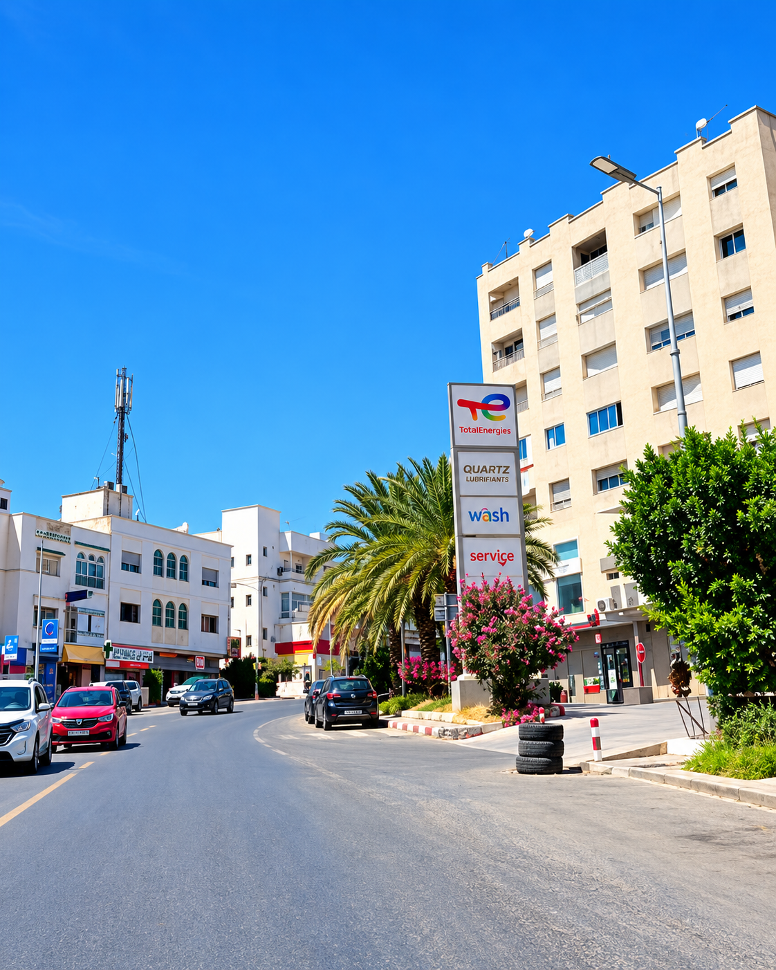
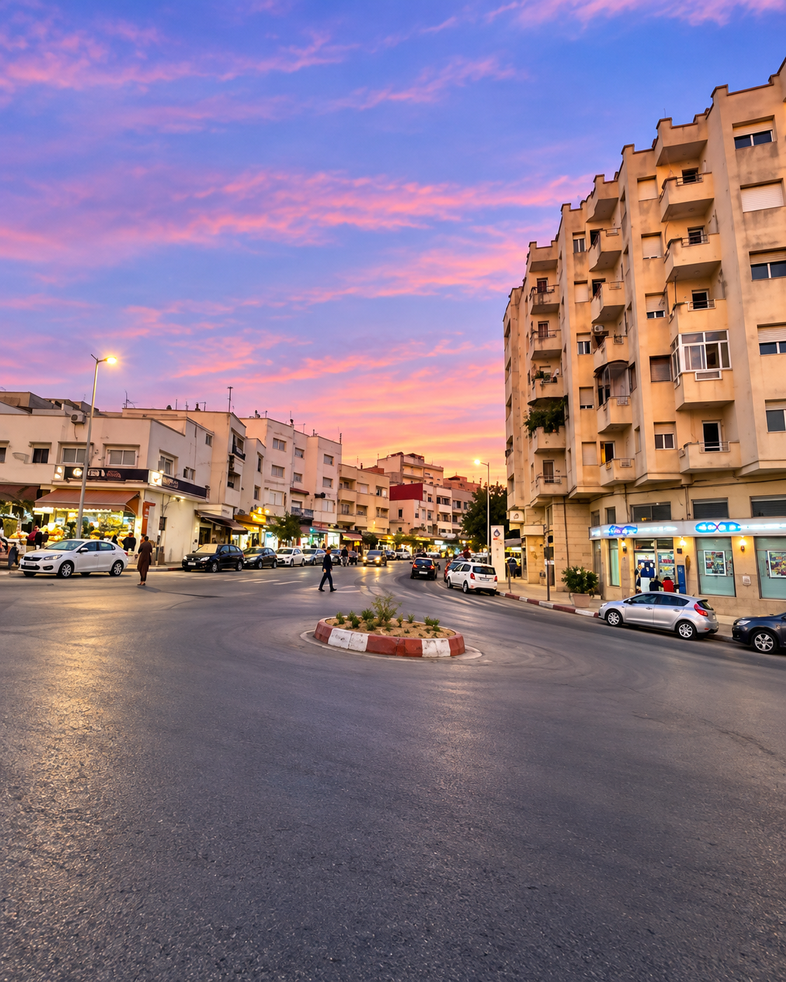
A palm-lined street and everyday traffic in the town centre

Begin by reading the city's slope and valley position. Then spend time in the town centre for everyday movement before choosing one countryside extension, such as Sahla, the Oued Sra valley or a locally advised route toward Bouadel.

Taounate buildings and green slopes beneath a rounded hill

Go deeper with Exotic Morocco

Taounate - Southern Rif City Notes

Use Taounate as a careful northern Morocco chapter: a way to connect city orientation, Jbala countryside, water landscapes, agricultural culture and practical route planning beyond the better-known urban circuit.

✓ Southern Rif context✓ Valley orientation ✓ Water landscapes✓ Jbala countryside ✓ Practical travel guidance✓ Nearby highlights

Continue the journey

Continue the journey through Taounate

Look beyond the road from Fez and encounter a city of slopes, valleys, rural memory, water routes and quiet southern Rif atmosphere.