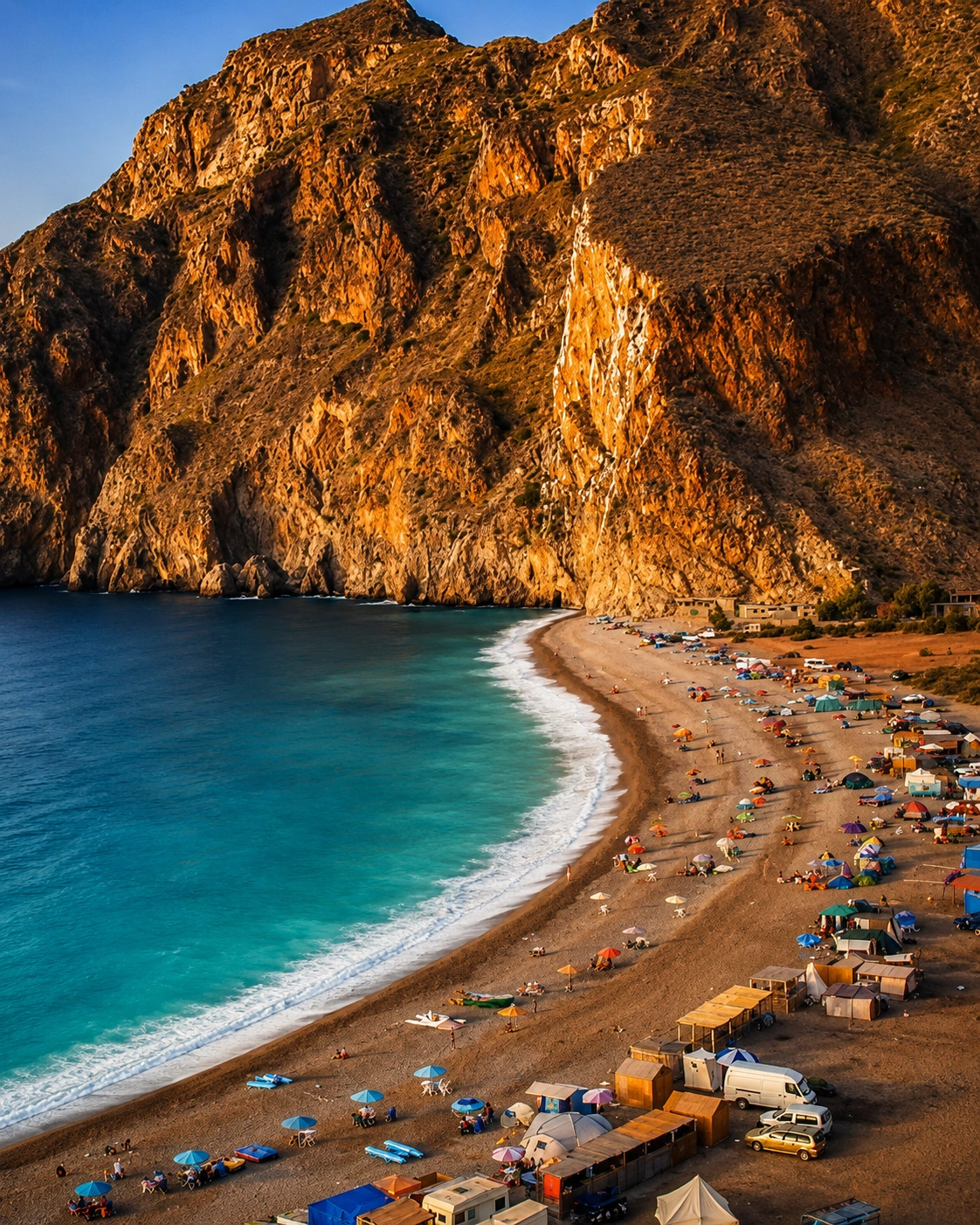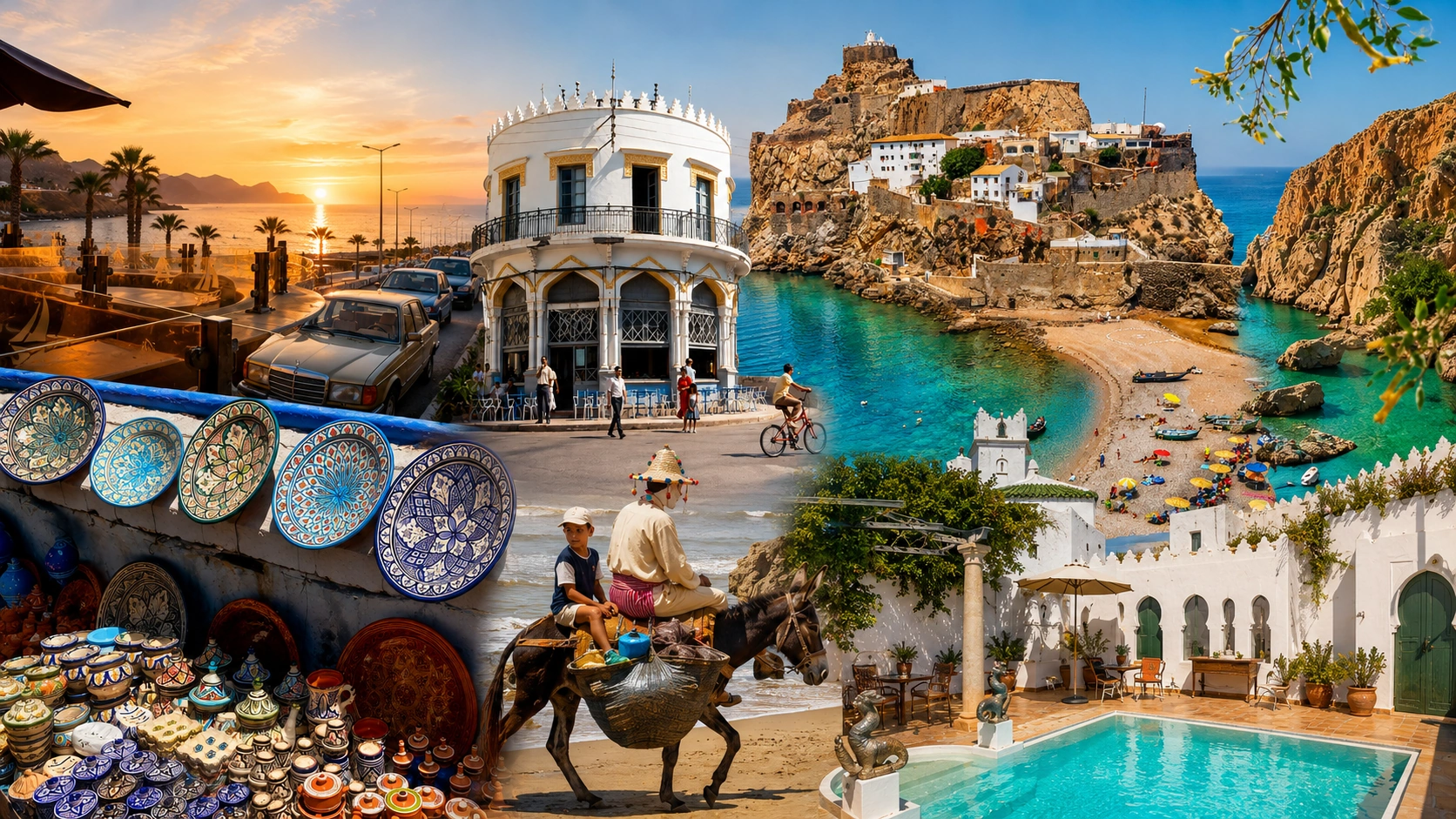
Mediterranean bay and Rif cliffs of Al Hoceima

Mediterranean Rif City

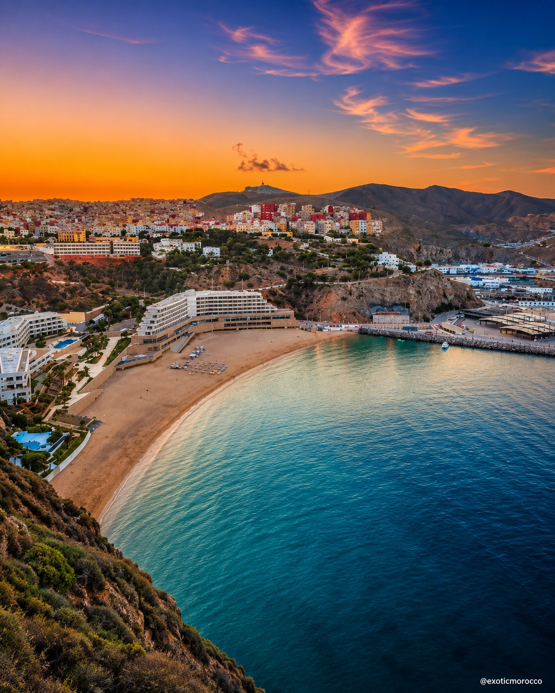
Al Hoceima blue bays, Rif cliffs and Mediterranean calm

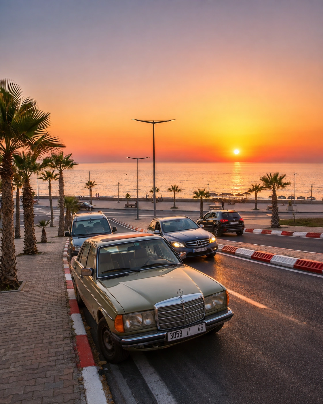
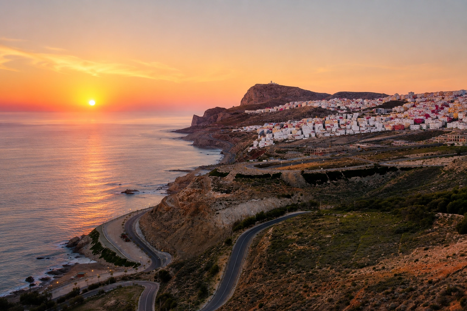
Al Hoceima faces the Mediterranean from the edge of the Rif, where pale cliffs, working port life, urban beaches and protected coves give the city a different rhythm from Morocco’s interior medinas. Read it through water, relief, horizon and the small pauses that happen between sea road and mountain light.

Why Al Hoceima matters

Beyond the bay

Al Hoceima is often introduced through its blue water, but the city’s deeper identity comes from the meeting point around it: Mediterranean light, Rif slopes, port movement, beaches held below cliffs and a national-park coast that keeps the landscape close to daily life.

Unlike the historic cities built around deep medina density, Al Hoceima rewards a coastal reading. Its scale is open, its pauses are visual, and its visitor logic moves from bay to harbour, from corniche to cove, from city edge to protected shore.
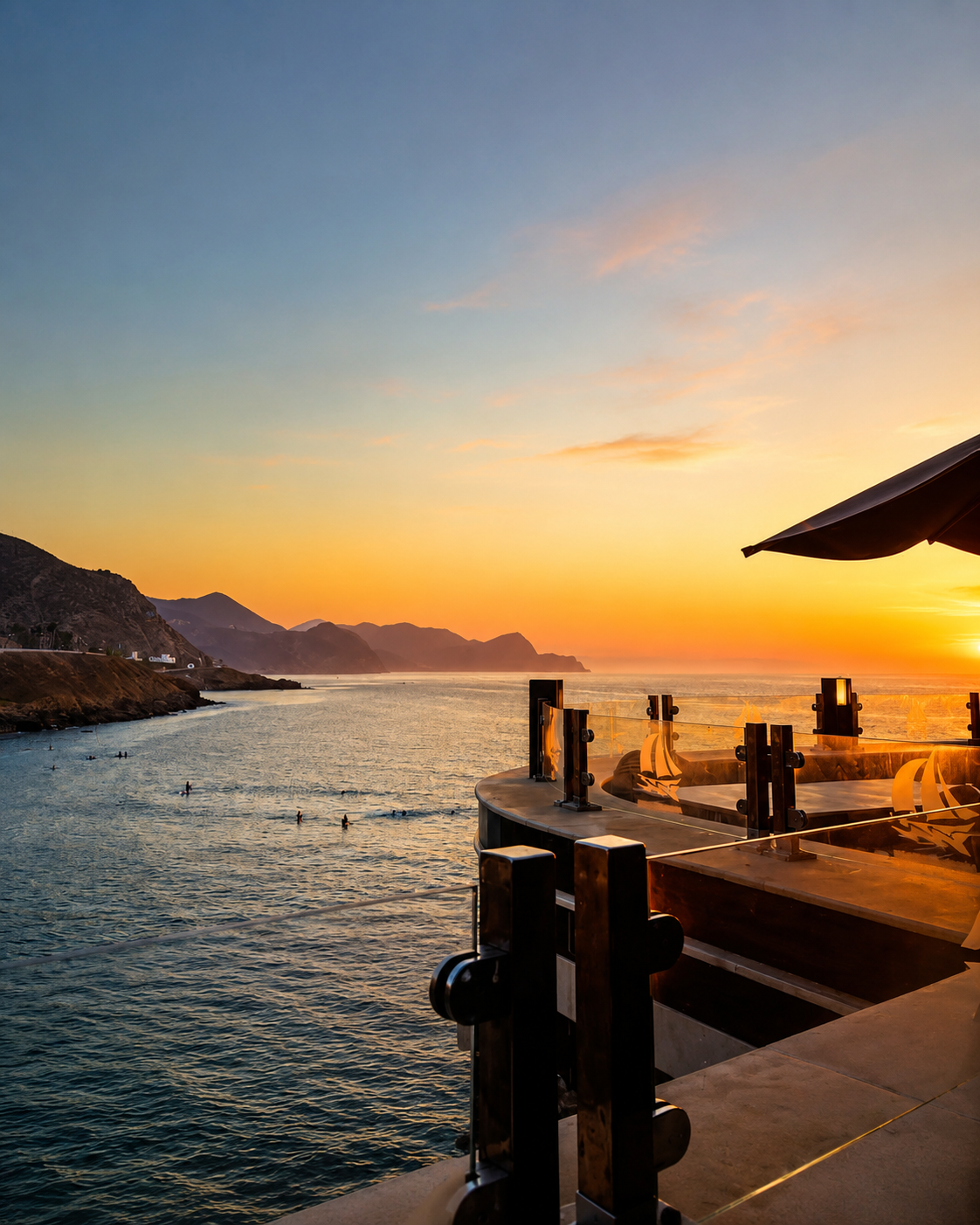
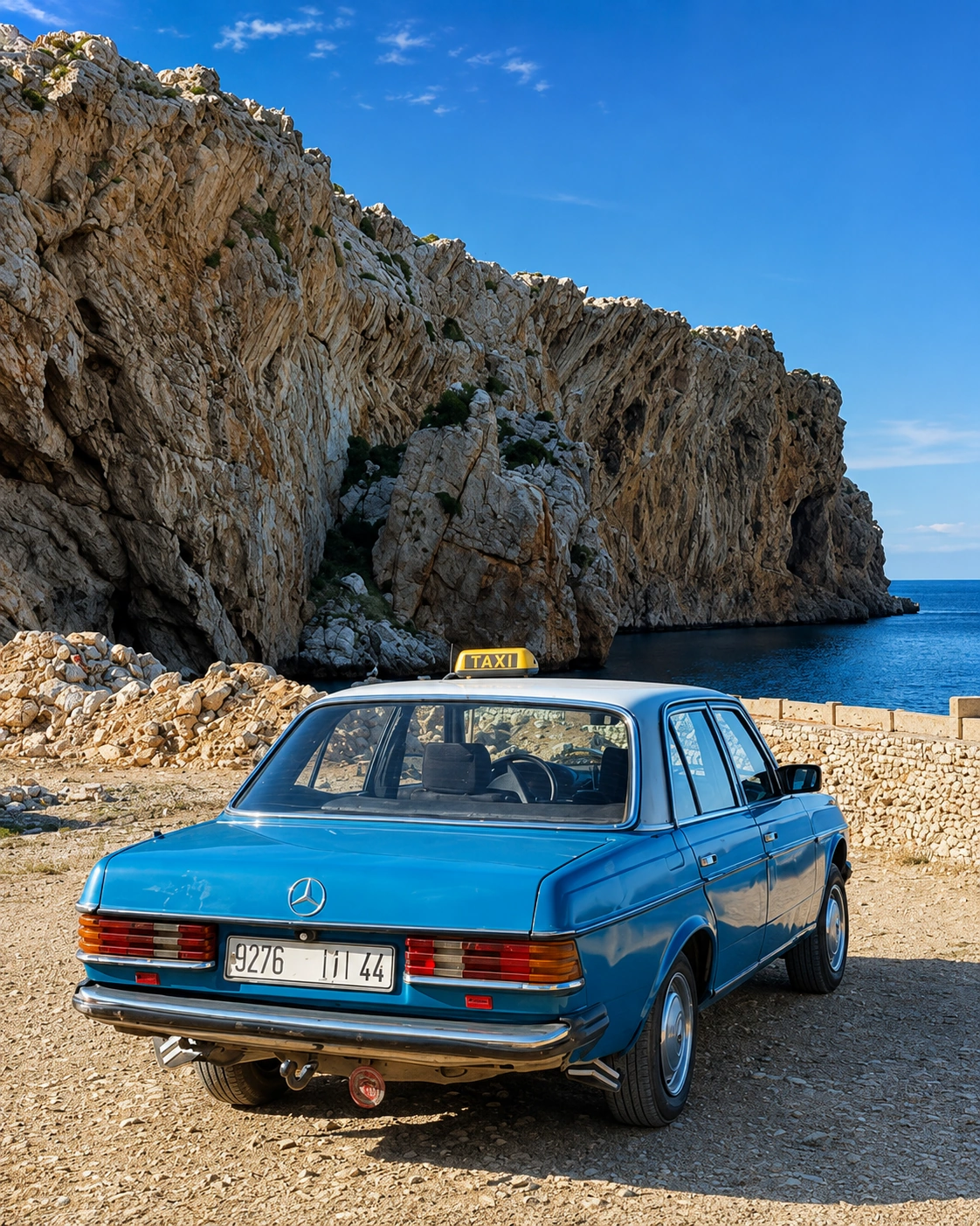
Al Hoceima bay, cliffs and compact coastal scale

A city of sea, relief and restraint

Power here is not coastal monumentality; it is a shoreline, a cliff shadow, a harbour, a beach below town, a road into the Rif and a clear Mediterranean horizon.

EXPLORE

Al Hoceima

Historical orientation

From Rif shore to Mediterranean city

Al Hoceima is best understood as a modern coastal city set within an older Rif landscape. The shore, nearby coves and fishing routes shaped the first visitor impression; the twentieth century gave the city its urban frame; today the surrounding national park and province connect that urban life to one of Morocco’s clearest Mediterranean landscapes.

01Older coastal setting

Rif shore and coves

Long before the modern city took shape, the coast was read through bays, fishing places, small settlements and routes between mountain and sea.

02Early 20th century

A modern urban nucleus

The contemporary city grew during the protectorate period, leaving Al Hoceima with a younger city fabric than Morocco’s medieval medinas.

031959

Provincial frame

Al Hoceima became the centre of a province bordered by the Mediterranean and by the Rif provinces around it, giving the city a clear regional role.

04Since 2004

Protected coast

Al Hoceima National Park strengthened the visitor reading of the area as both a coastal and mountain landscape, with land and marine environments held together.

A visual bridge

Three glimpses between mountain and sea

These images bridge the city’s story and the landscape around it: Rif relief, working water and the intimate scale of coves that make Al Hoceima feel open without becoming anonymous.

Rif mountains and Mediterranean coast near Al Hoceima

Rif relief

The mountains stand close enough to keep the city tied to slope, stone and dry light.

Harbour movement and coastal walls in Al Hoceima

Harbour movement

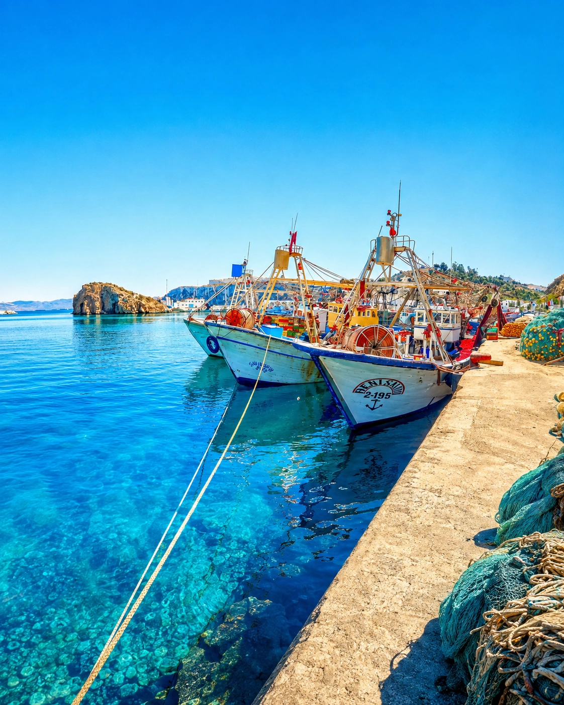
Port edges and small boats give the bay an everyday maritime rhythm.

Port, minaret and Rif coast atmosphere in Al Hoceima

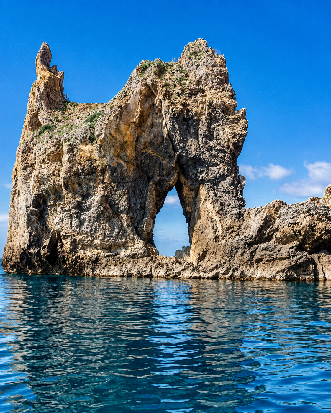
Cove intimacy

Beaches and coves turn the coast into a sequence of smaller, readable places.

Al Hoceima at a glance

Mediterranean Rif city

Al Hoceima sits on Morocco’s northern coast where the Rif meets the Mediterranean. Its identity is coastal first, but the mountains remain part of the view, the approach and the atmosphere.

Bay, port and beaches

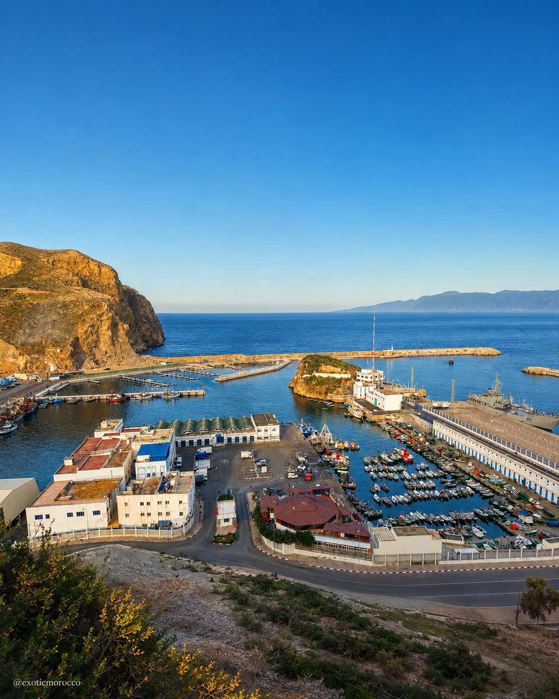
Quemado, Cala Bonita, Sfiha and the working port help visitors read the city as a place of water, movement and open horizons rather than dense monumentality.

National-park edge

Al Hoceima National Park extends the journey beyond the town into cliffs, coves, the Bokkoyas massif and protected marine landscapes.

Regional route logic

The city works naturally with the Mediterranean and Rif corridor, linking Tétouan, Chefchaouen, El Jebha, Cala Iris, Nador and the eastern coast.

A clearer reading of the city

A city shaped by sea, cliffs and everyday movement

To understand Al Hoceima, read its landscape and daily life together. The bay is not a backdrop; it shapes where people walk, where visitors pause, how the port works, how beaches are framed and how the wider Rif coast enters the city’s identity.

Rif cliffs and protected coast near Al Hoceima
Layer 1

Mountain-sea geography

High slopes, dry hills and cliff lines make the coast feel sculptural, giving the city a stronger visual frame than its small urban scale suggests.

Daily movement beside the port of Al Hoceima
Layer 2

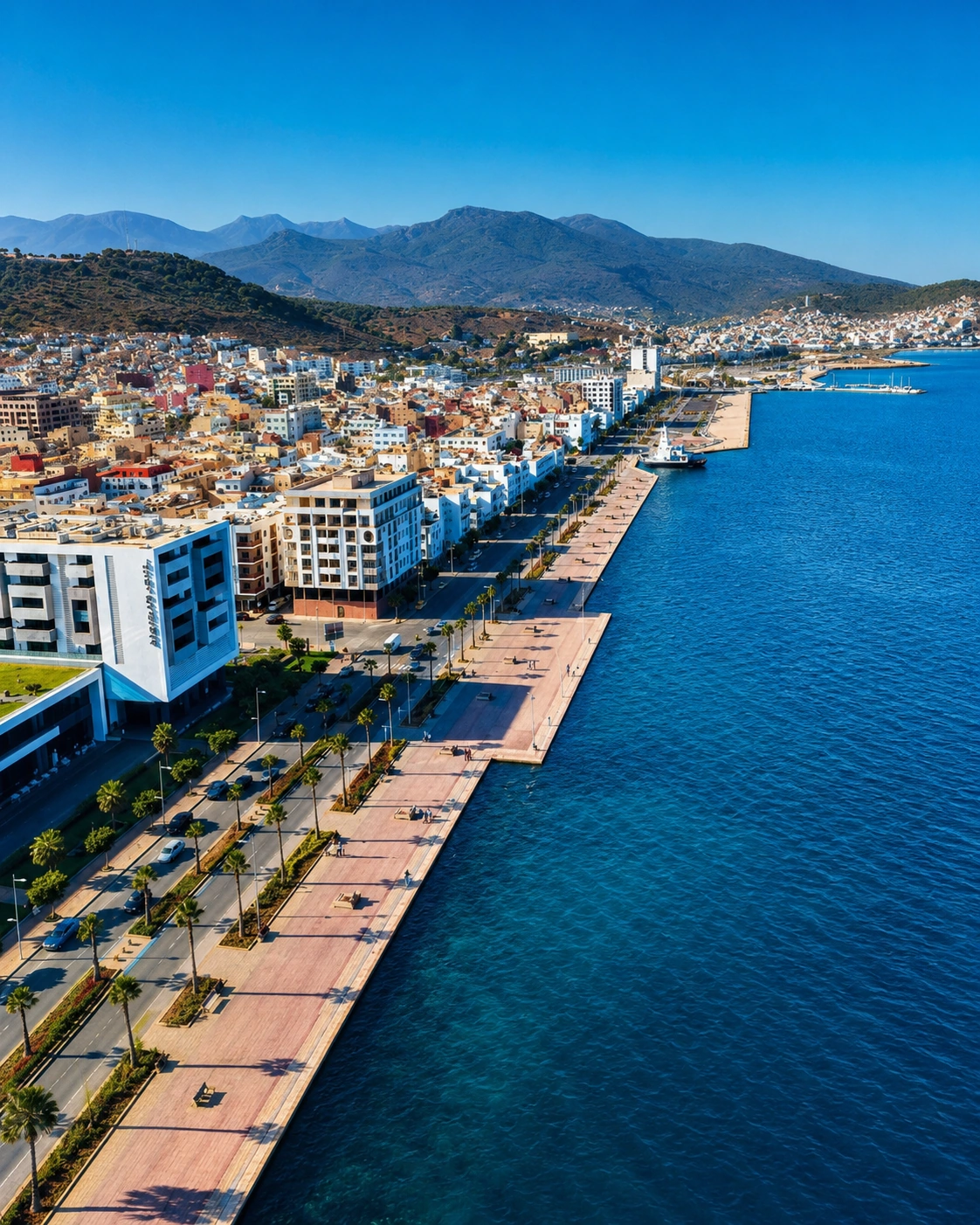
Port and public rhythm

The harbour, corniche, town centre and beach routes keep the city connected to everyday movement rather than separating visitor scenery from local life.

Mediterranean market and craft display near Al Hoceima
Layer 3

Coastal craft and memory

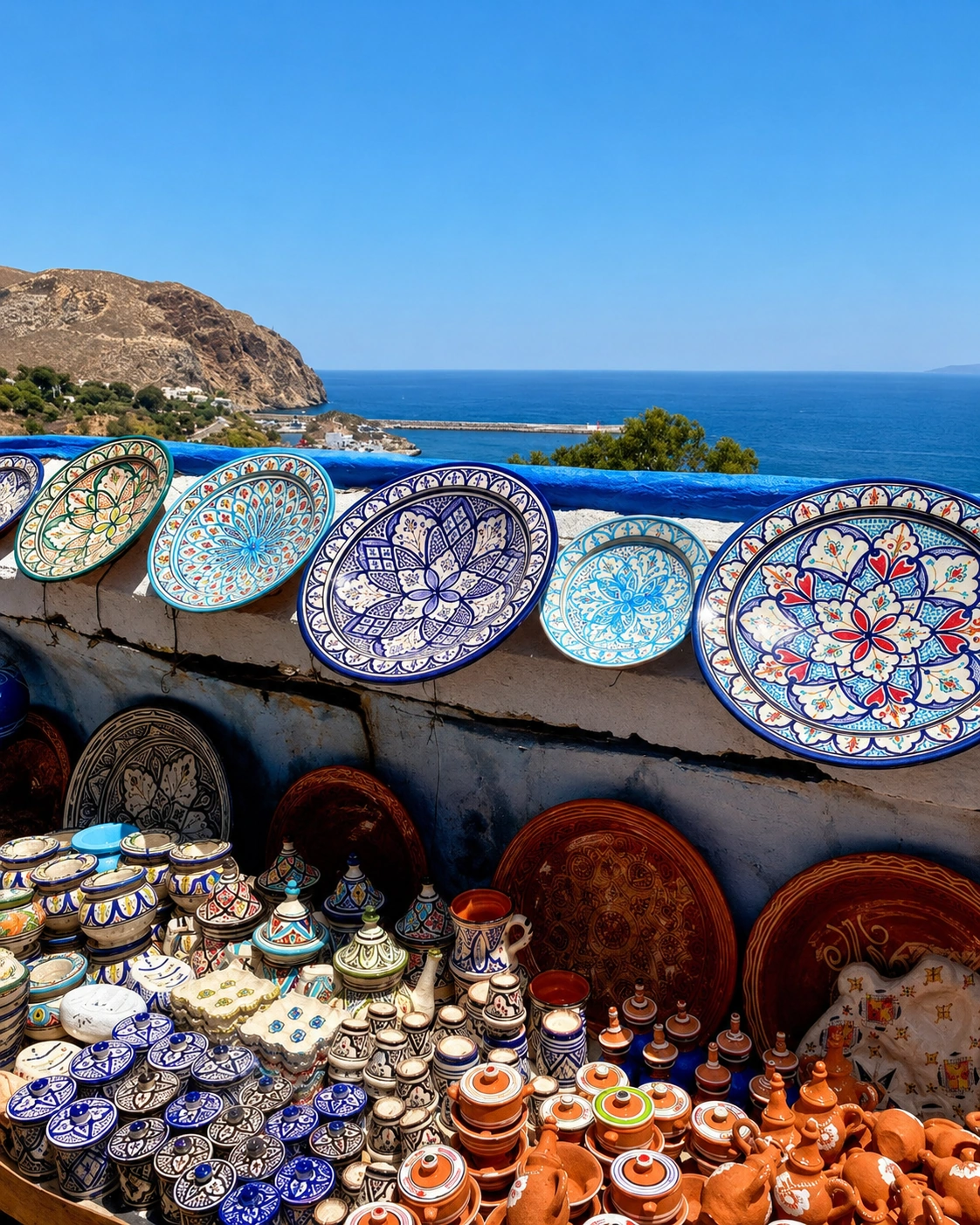
Markets, cafés, small shops and coastal villages carry a quieter Rif identity into daily use, from food and objects to the way people gather near the water.

Landmarks & orientation

Read Al Hoceima through six defining places

No single monument explains Al Hoceima. These six places show the relationship between bay, port, beach, protected nature, nearby coves and the wider Rif coastline.

1
Quemado Beach

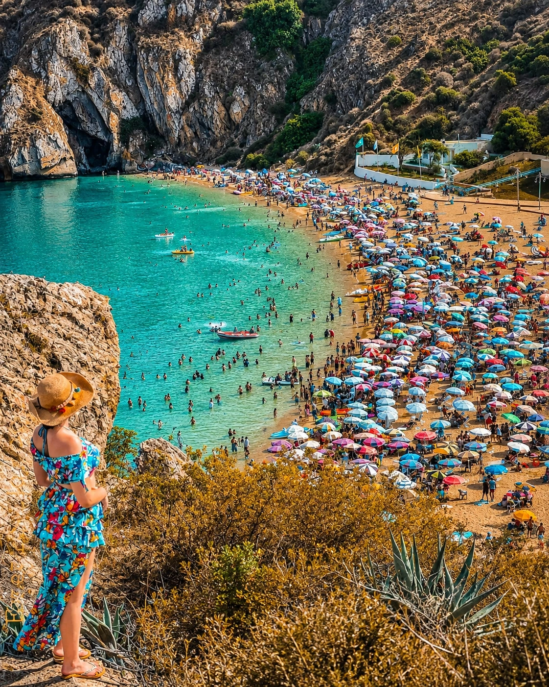
Quemado Beach sits below the city and gives first-time visitors an immediate reading of Al Hoceima’s cliff-and-bay setting.

2
The port

The port keeps the city connected to working maritime life, with fishing activity, harbour edges and views back toward the urban slope.

3
Al Hoceima National Park

Al Hoceima National Park opens the coast into cliffs, coves, the Bokkoyas massif and protected land-and-sea landscapes.

4
Cala Bonita

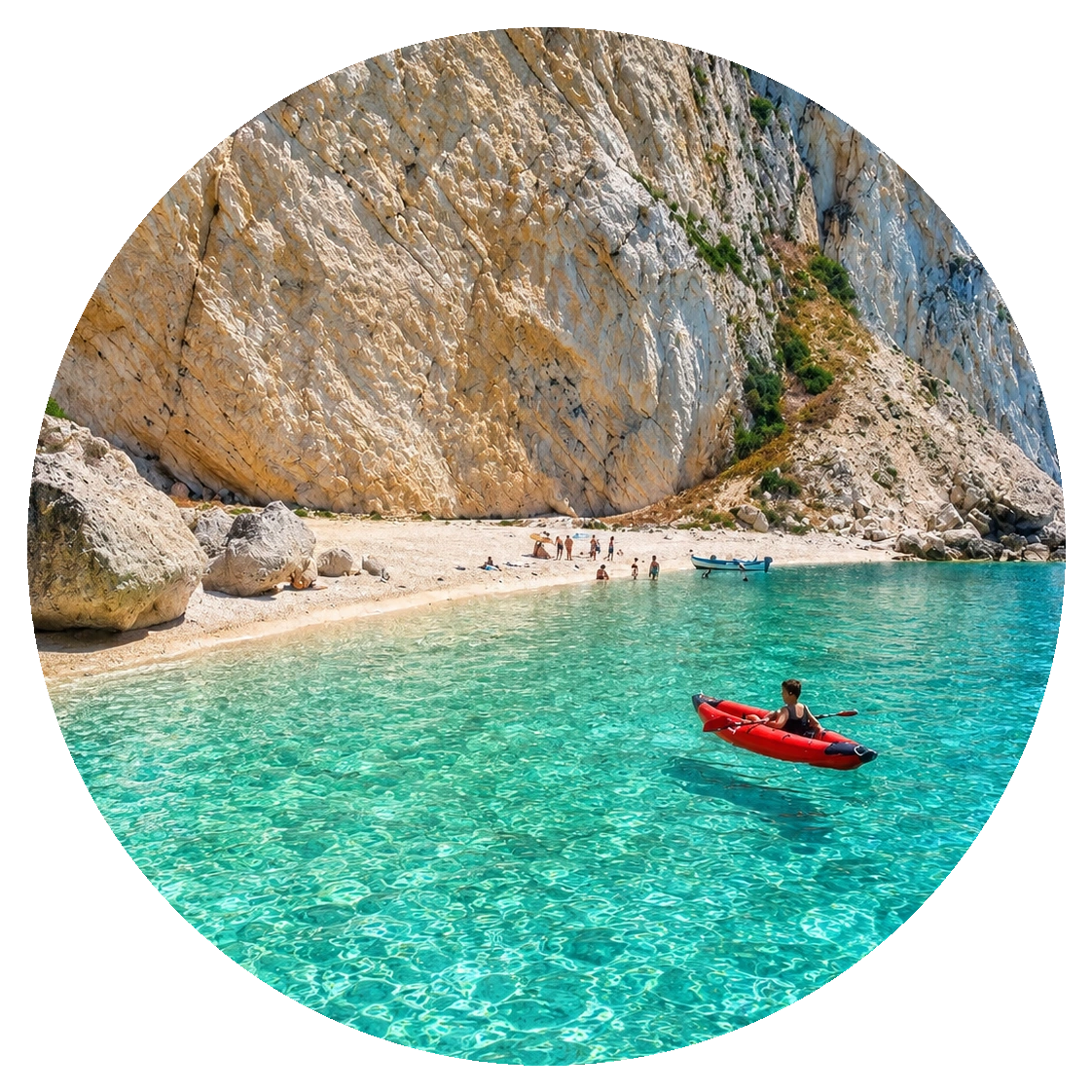
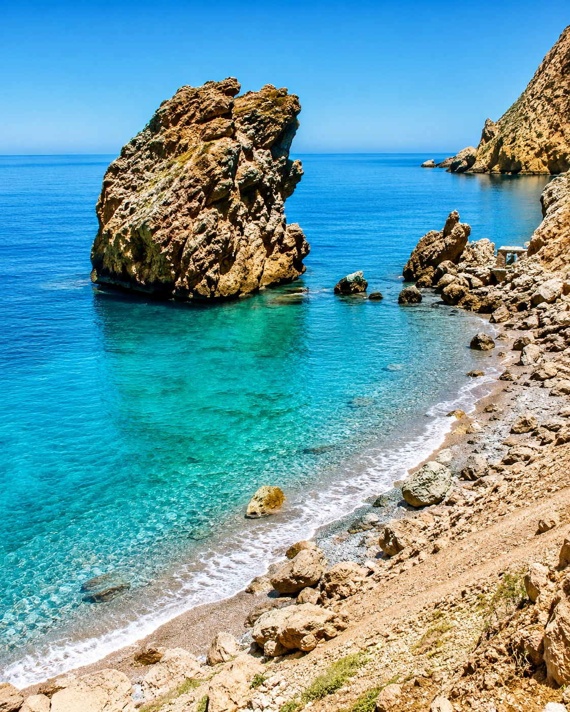
Cala Bonita brings the coastal story closer to a cove scale, with water, rock and a quieter beach rhythm near town.

5
Sfiha Beach

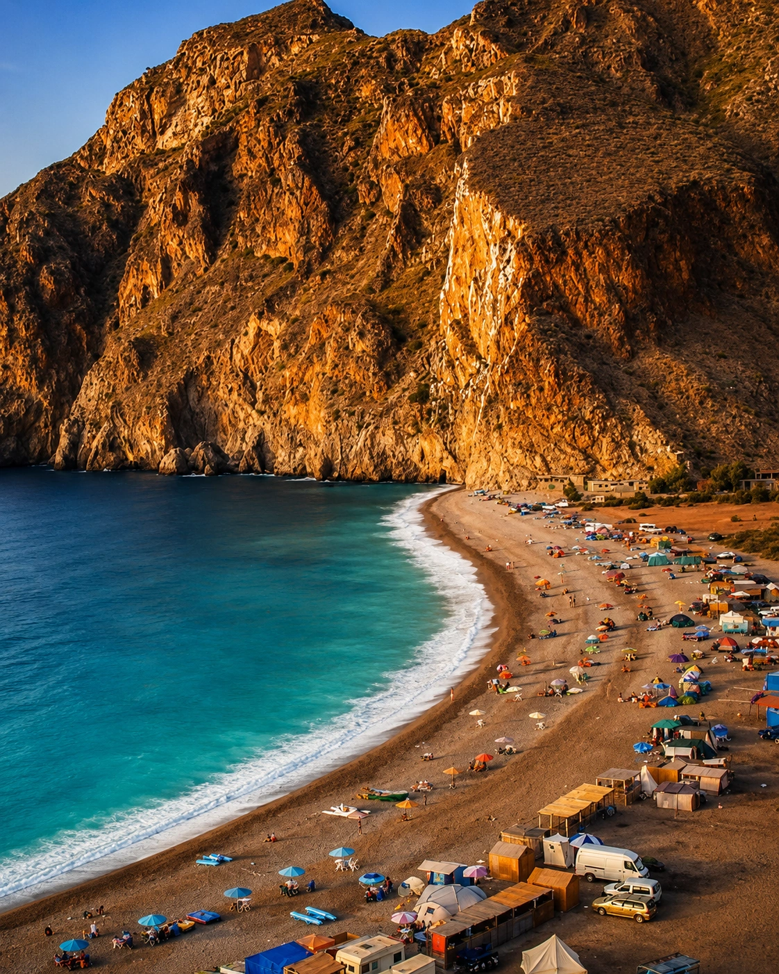
Sfiha Beach widens the horizon outside the centre and gives the city a broader Mediterranean beach extension.

6
Torres de Alcalá

Torres de Alcalá and the nearby coastal route add a historical and landscape layer beyond the immediate bay.

Port, bay and Mediterranean light in Al Hoceima
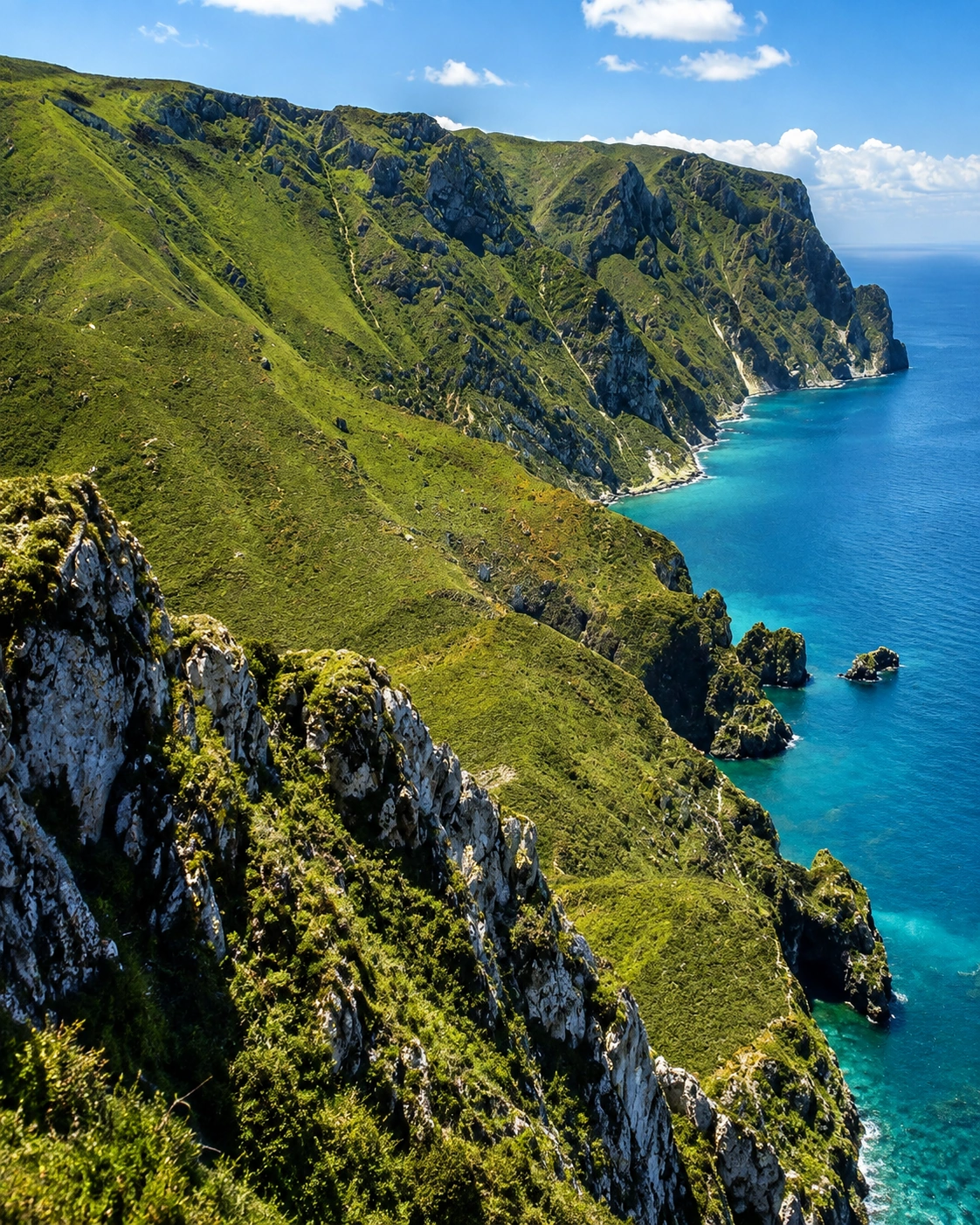
Cliffs and coves of Al Hoceima National Park

A protected coast

Al Hoceima National Park — cliffs, coves and a protected Mediterranean horizon

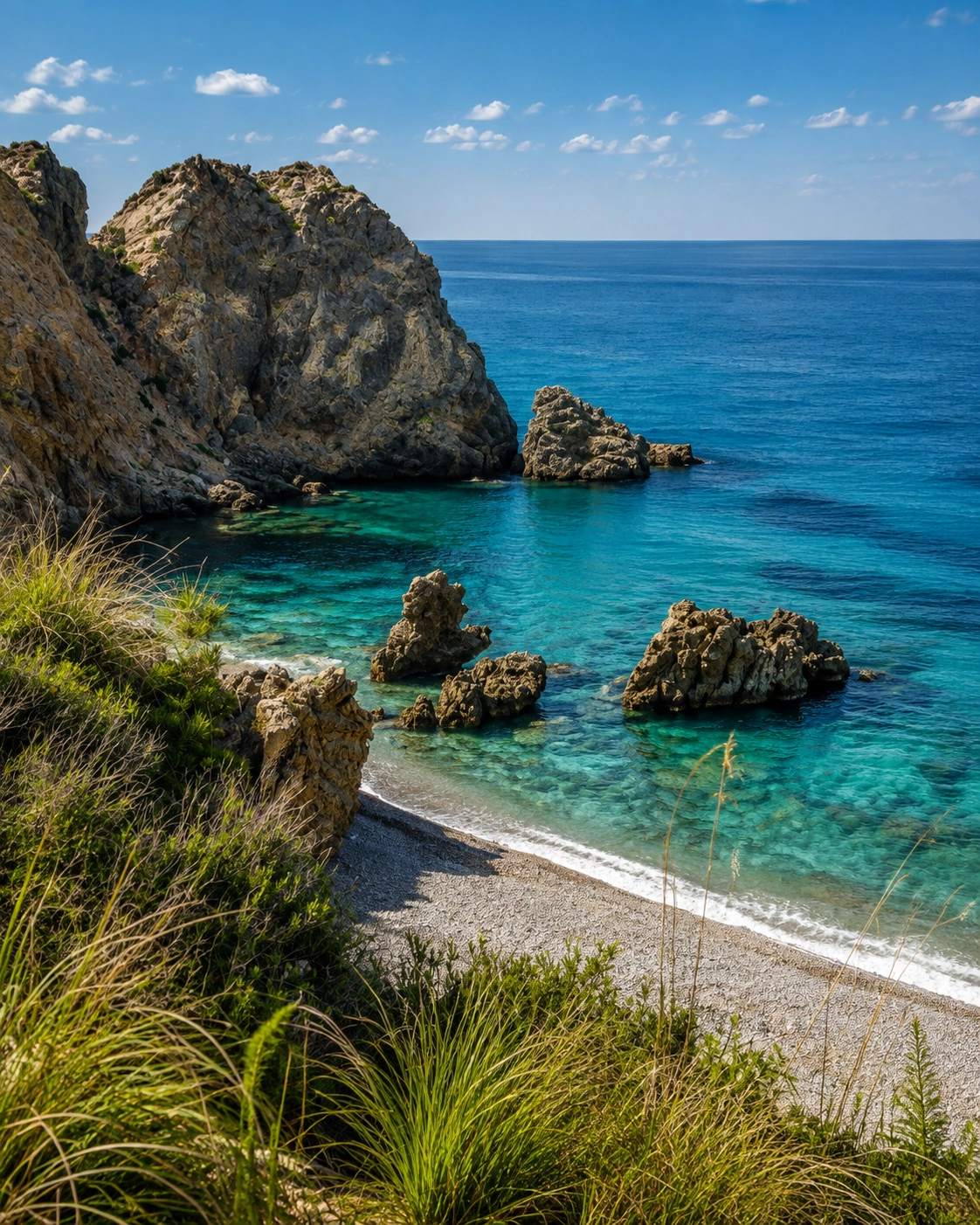
The most important landscape chapter around the city is Al Hoceima National Park. It brings together a terrestrial Rif setting, the Bokkoyas massif and a marine zone, so the visitor does not have to choose between mountain and sea. High cliffs, clear water, coves and small routes make the park the natural counterpoint to the city’s urban bay.

  • Read the park as coast and mountain together, not as a beach extension only.
  • Give enough time for viewpoints, coves and slow movement along the Rif shore.
  • Treat protected areas, villages and marine landscapes with restraint and local respect.

Landscape reading

Three Al Hoceima landscapes to notice

Cliff and bay

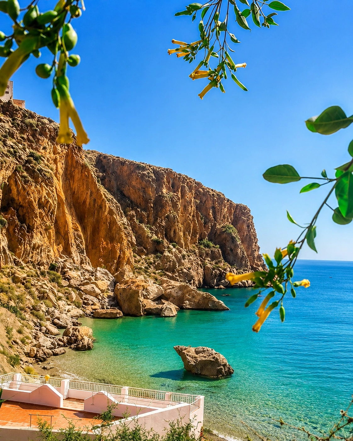
Al Hoceima’s strongest architecture is often natural: cliffs, curved water, beach shelves and viewpoints set the scale before buildings do. The city is best read from the edges where land, road and sea meet.

Modern coastal fabric

The town’s younger urban form means its identity comes less from medieval enclosure and more from corniche movement, port infrastructure, streets looking toward the sea and compact public places.

Rif hinterland

Just outside the city, slopes, villages, paths and coastal roads shift the language again. The built environment becomes smaller, more rural and more closely tied to the relief of the Bokkoyas and the Rif.

Visual atmosphere

Sea light, dry hills and blue horizons

Nearby highlights

Nearby coast and Rif landscapes

Al Hoceima works well as a base for coastal extensions rather than quick checklist stops. The strongest nearby experiences continue the same logic: protected cliffs, small coves, fishing villages and the Mediterranean road toward the eastern coast.

Al Hoceima National Park

A protected landscape of cliffs, coves, mountain hinterland and marine environments. Plan it as a nature chapter, not only a viewpoint stop.

Cala Iris coast near Al Hoceima

Cala Iris and El Jebha coast

West of Al Hoceima, smaller coastal places and coves bring the Rif sea-road atmosphere into a quieter, more spacious rhythm.

El Jebha and Rif coast near Al Hoceima

Nador and the eastern coast

To the east, Nador, Marchica and the Oriental coast extend the Mediterranean story toward lagoons, ports and longer beach landscapes.

Nador and the eastern Mediterranean route from Al Hoceima
Travel note: opening hours, access rules, restoration work, transport conditions and local visitor arrangements can change. Check current official or trusted local information before travelling.

Practical orientation

How to experience Al Hoceima well

  • Read the city from viewpoints first, then descend toward the port, beaches and corniche.
  • Separate an urban bay visit from a national-park or coastal-road day.
  • Use beach time carefully: the best rhythm is slow, early or late, not rushed through midday.
  • Respect protected landscapes, village privacy and fragile cliff and marine environments.
  • Treat Al Hoceima as part of a Rif and Mediterranean route with Cala Iris, El Jebha, Tétouan, Chefchaouen or Nador.

A strong first visit

Al Hoceima bay and coastal first-visit atmosphere

Begin with a clear view of the bay, continue to the port and Quemado or Cala Bonita, then leave the city edge for a slower half-day or full-day reading of Al Hoceima National Park, Sfiha or the Rif coast.

Cover of the Al Hoceima Visual City Guide

Go deeper with Exotic Morocco

Al Hoceima — Visual City Guide

Continue with a coastal visual guide designed to connect the city’s bay, port life, beaches, national park, Rif landscapes, nearby coves and practical orientation into one carefully structured journey.

✓ Coastal context✓ Essential places ✓ Landscape & nature✓ Culture & local life ✓ Practical travel guidance✓ Nearby highlights

Continue the journey

Continue the journey through Al Hoceima

Look beyond the bay and encounter a Mediterranean Rif city of cliffs, port life, clear water, protected landscapes and calm coastal pauses.