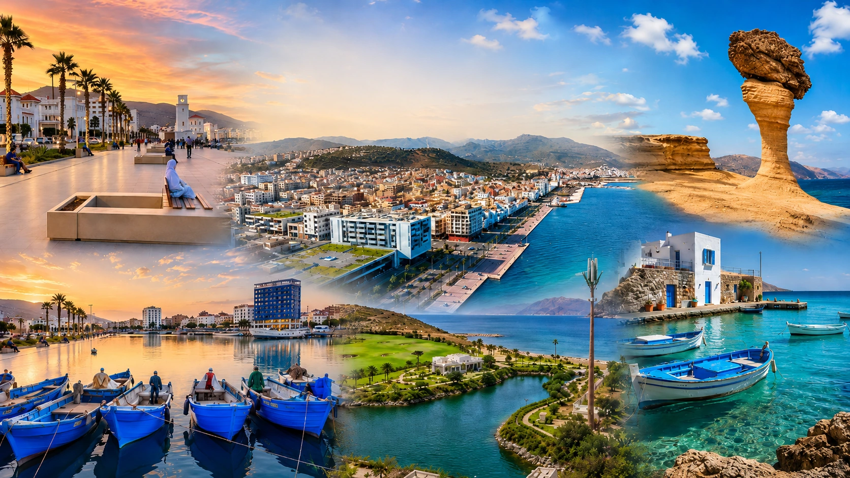
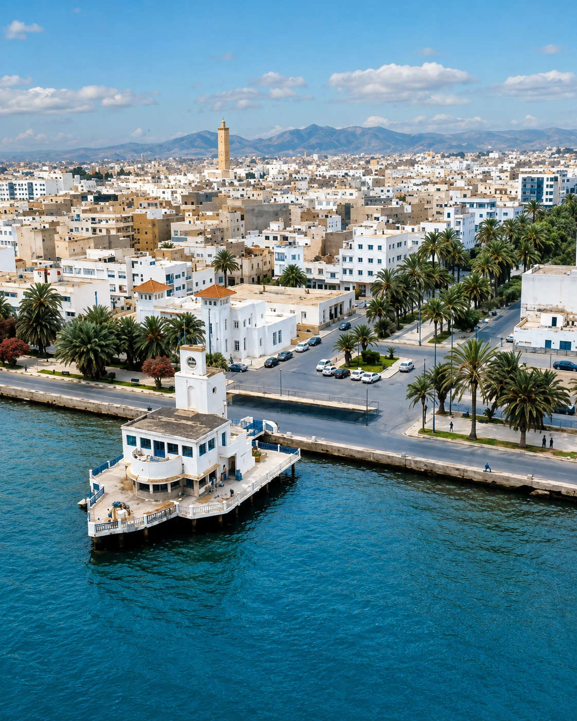
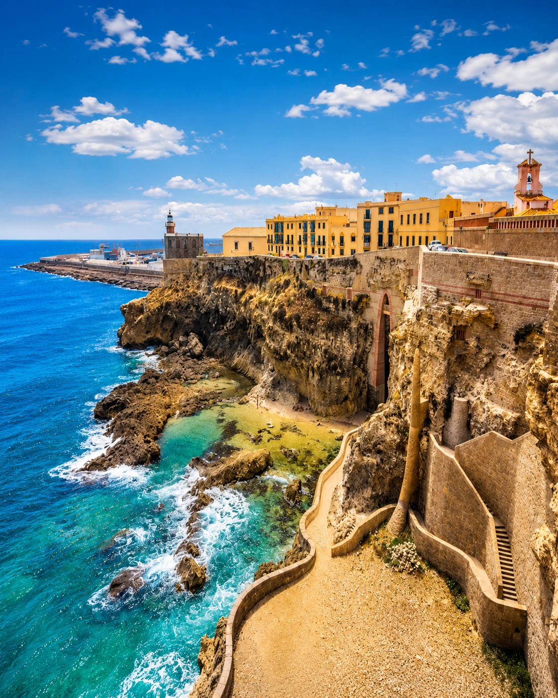
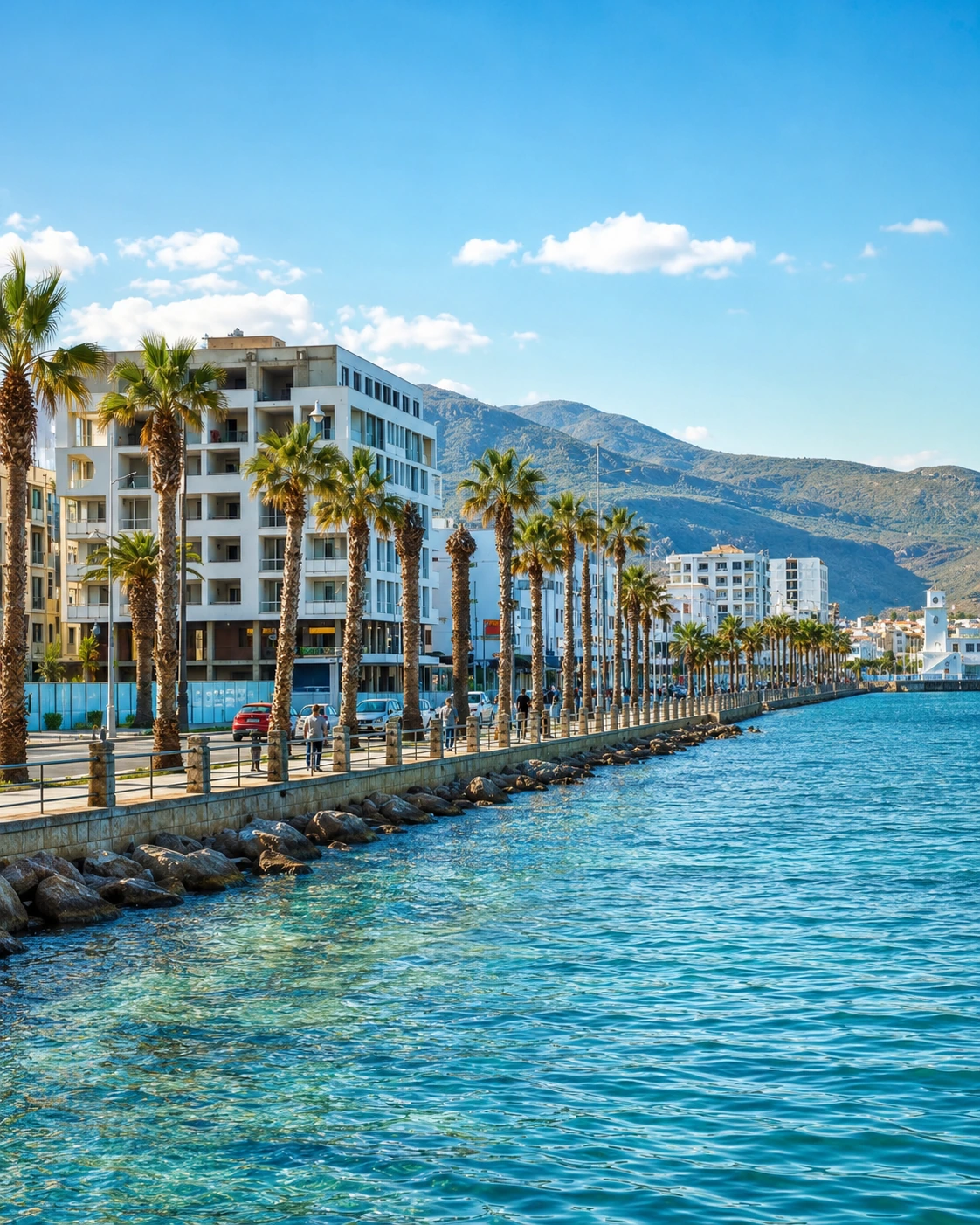
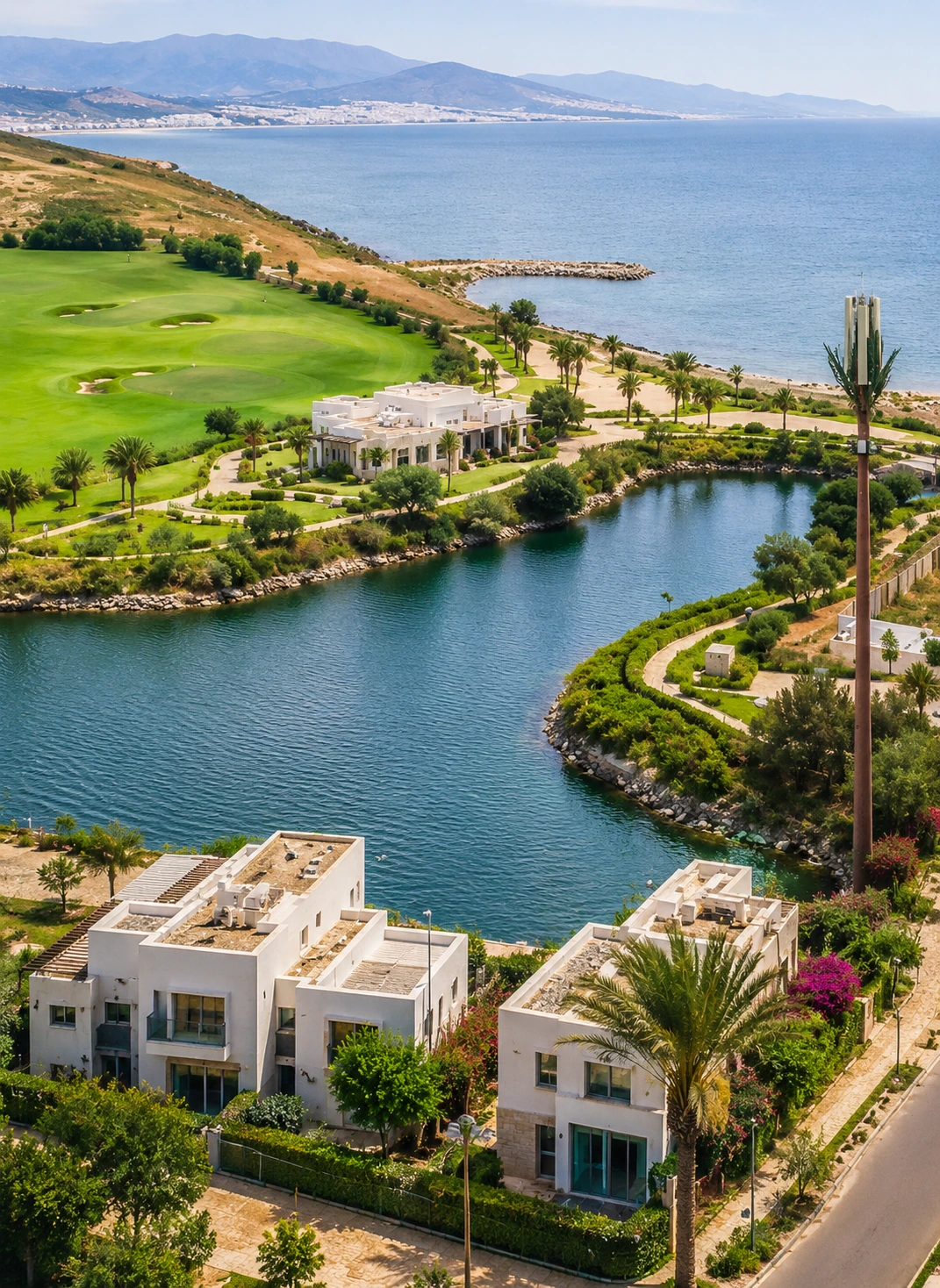
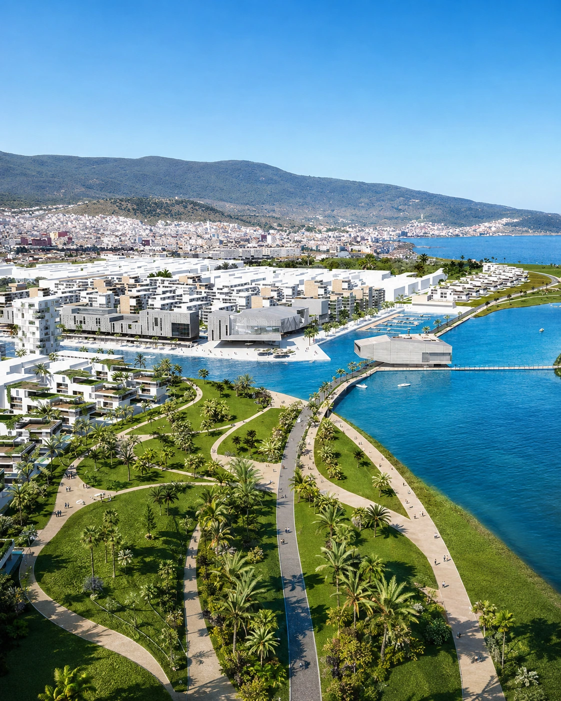
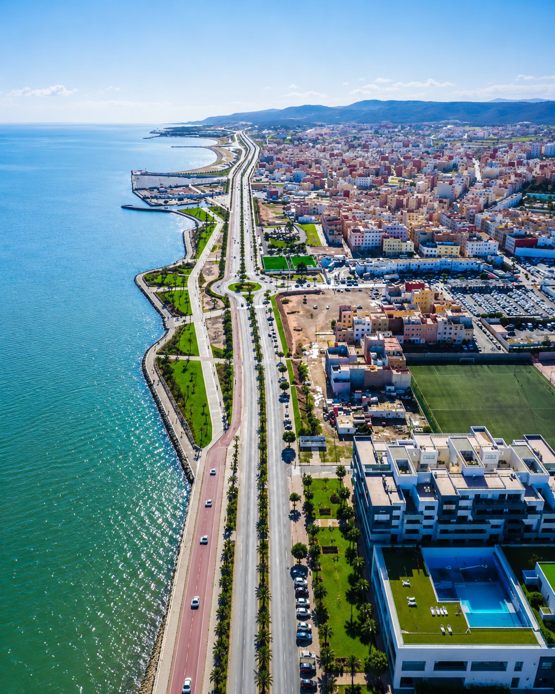
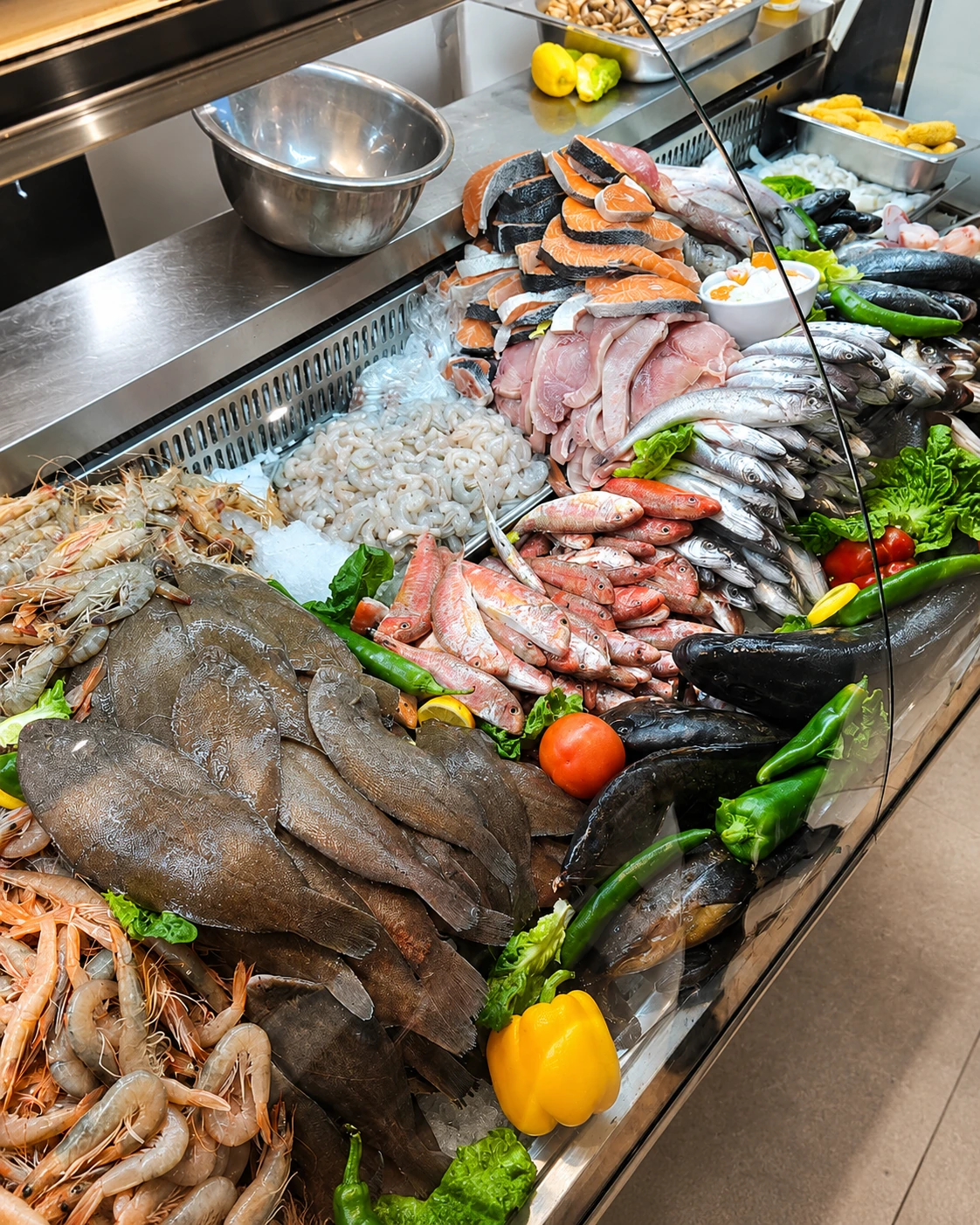
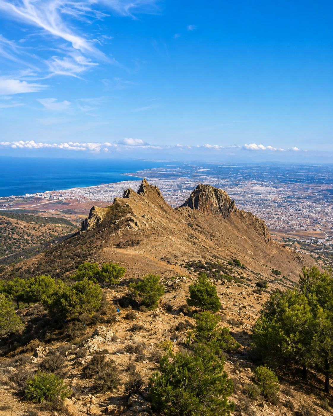
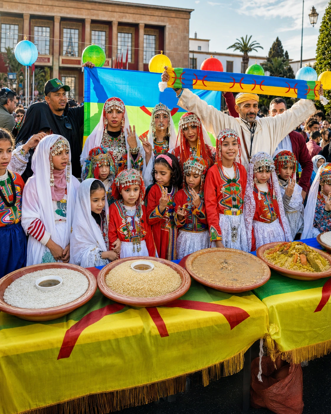
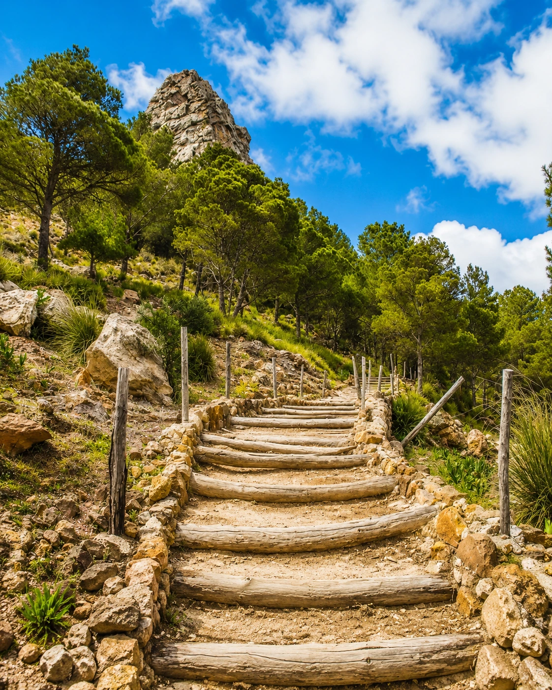
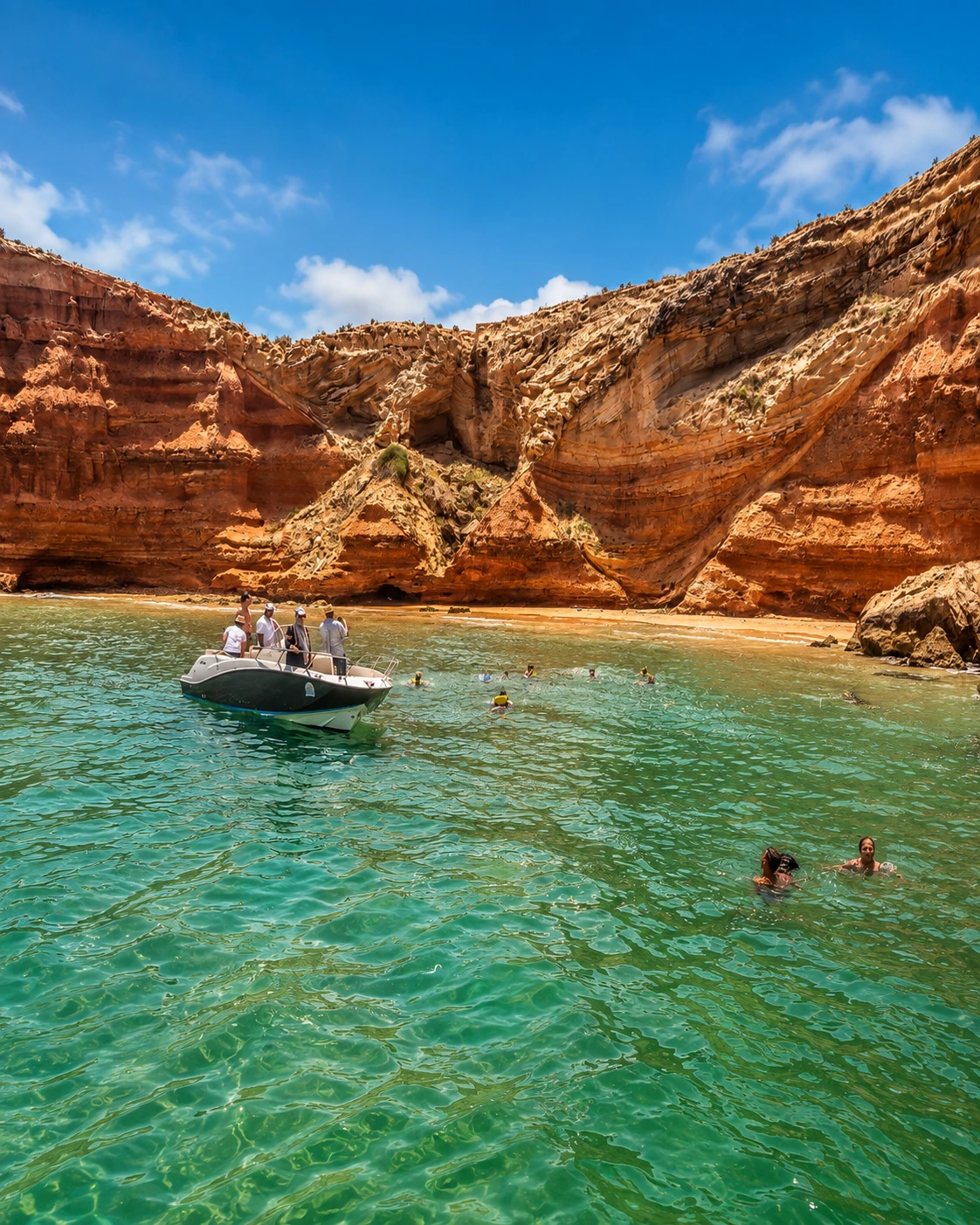
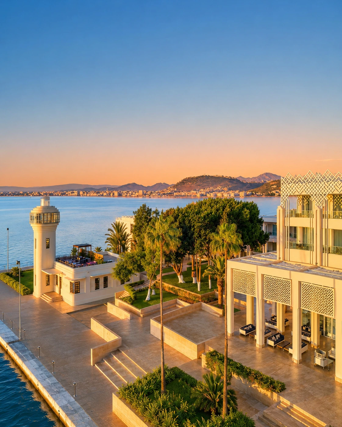
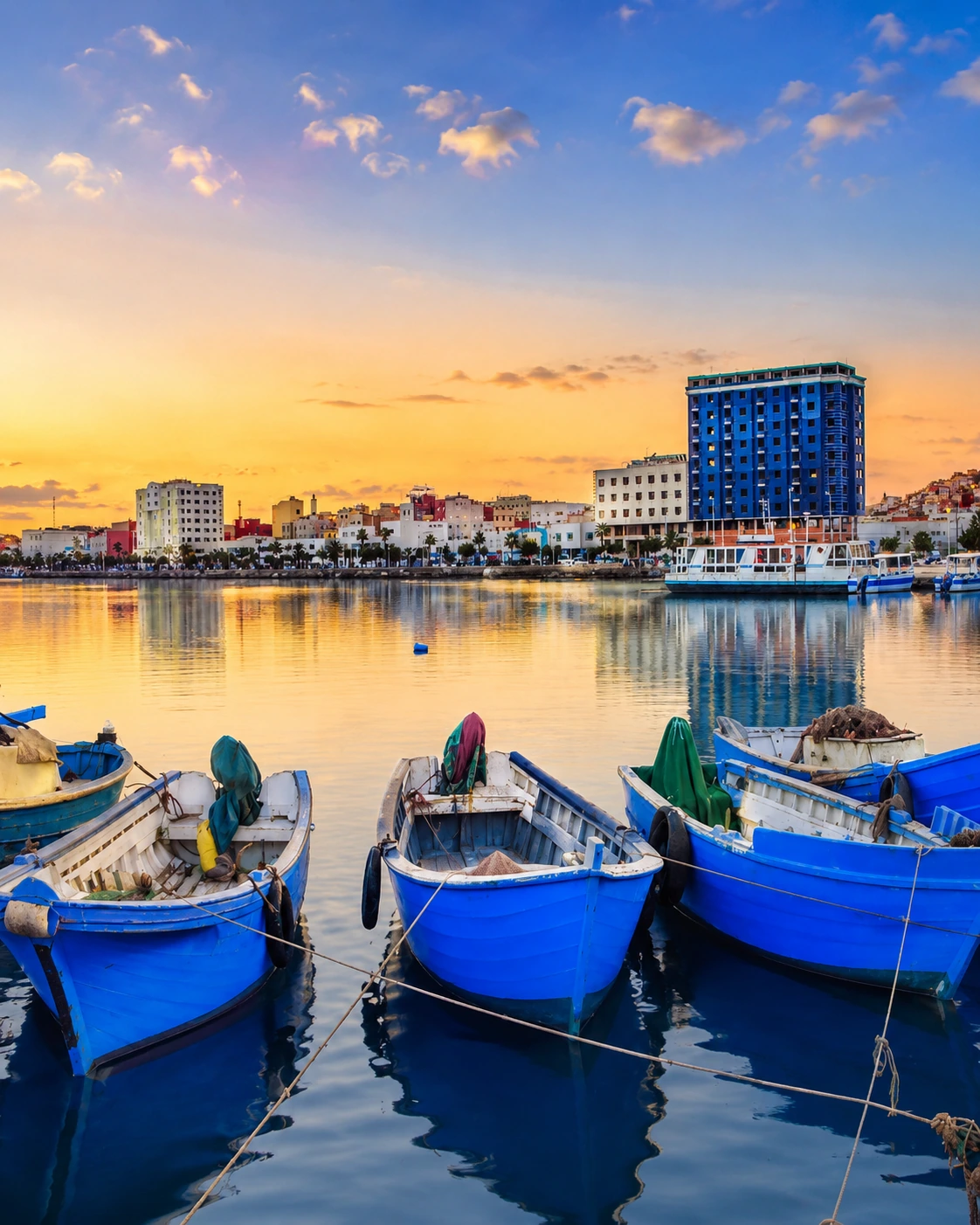
Nador is best understood through geography before monuments. The city grew beside Marchica Lagoon in the northeastern Rif, close to Mediterranean routes and the borderland movement around Melilla. Its story combines Amazigh-Rif identity, maritime commerce, port infrastructure and a recent re-reading of the lagoon as ecological and urban heritage.
01Long before the modern cityRif and lagoon setting
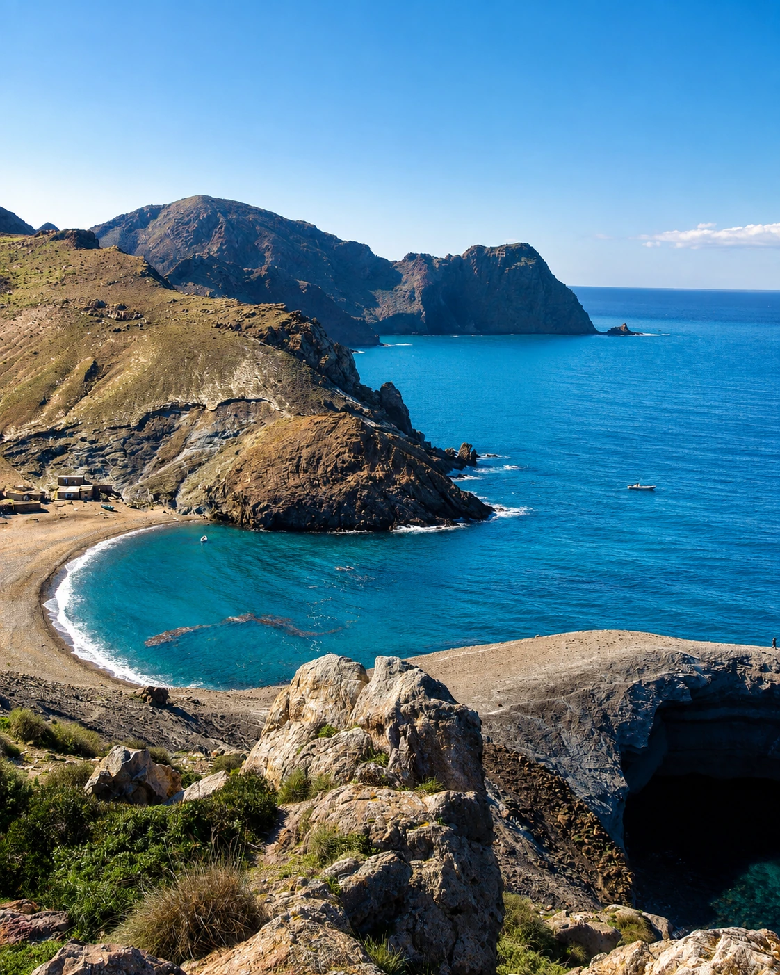
The coast, lagoon and hills shaped settlement, fishing, movement and seasonal life before Nador became a modern urban centre.
0220th centuryMaritime and market growth
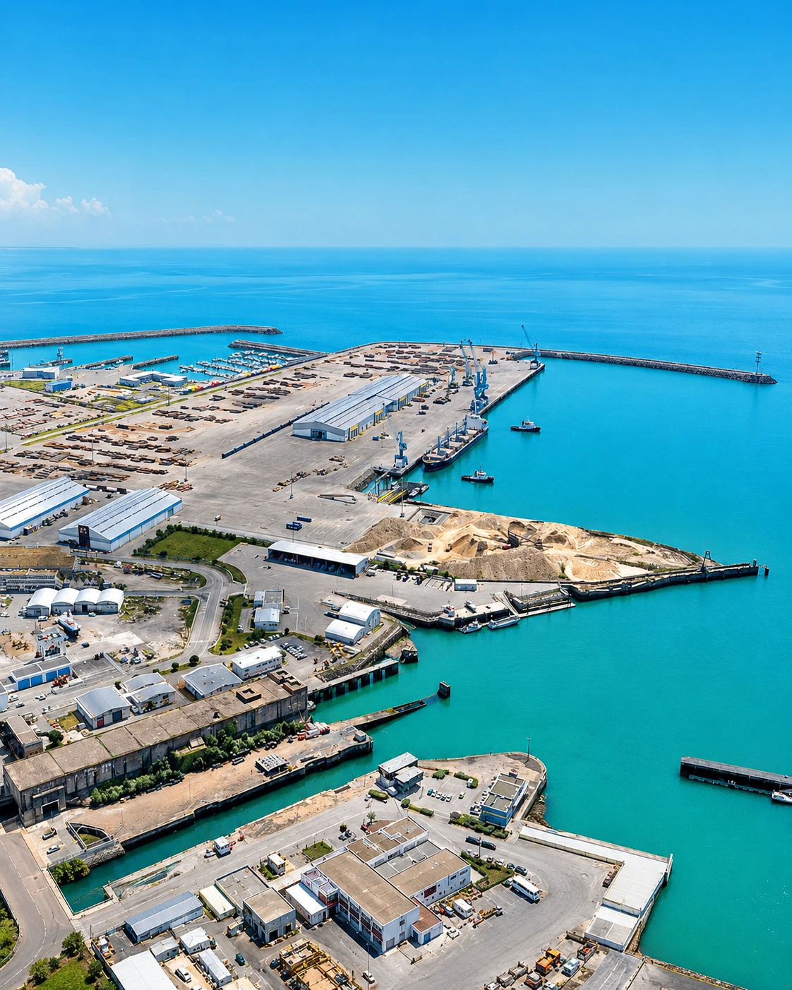
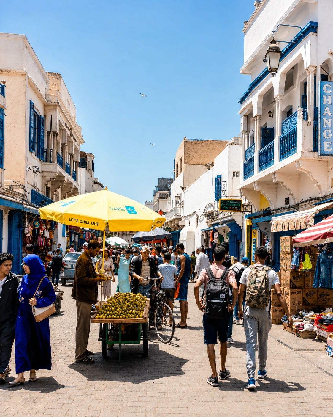
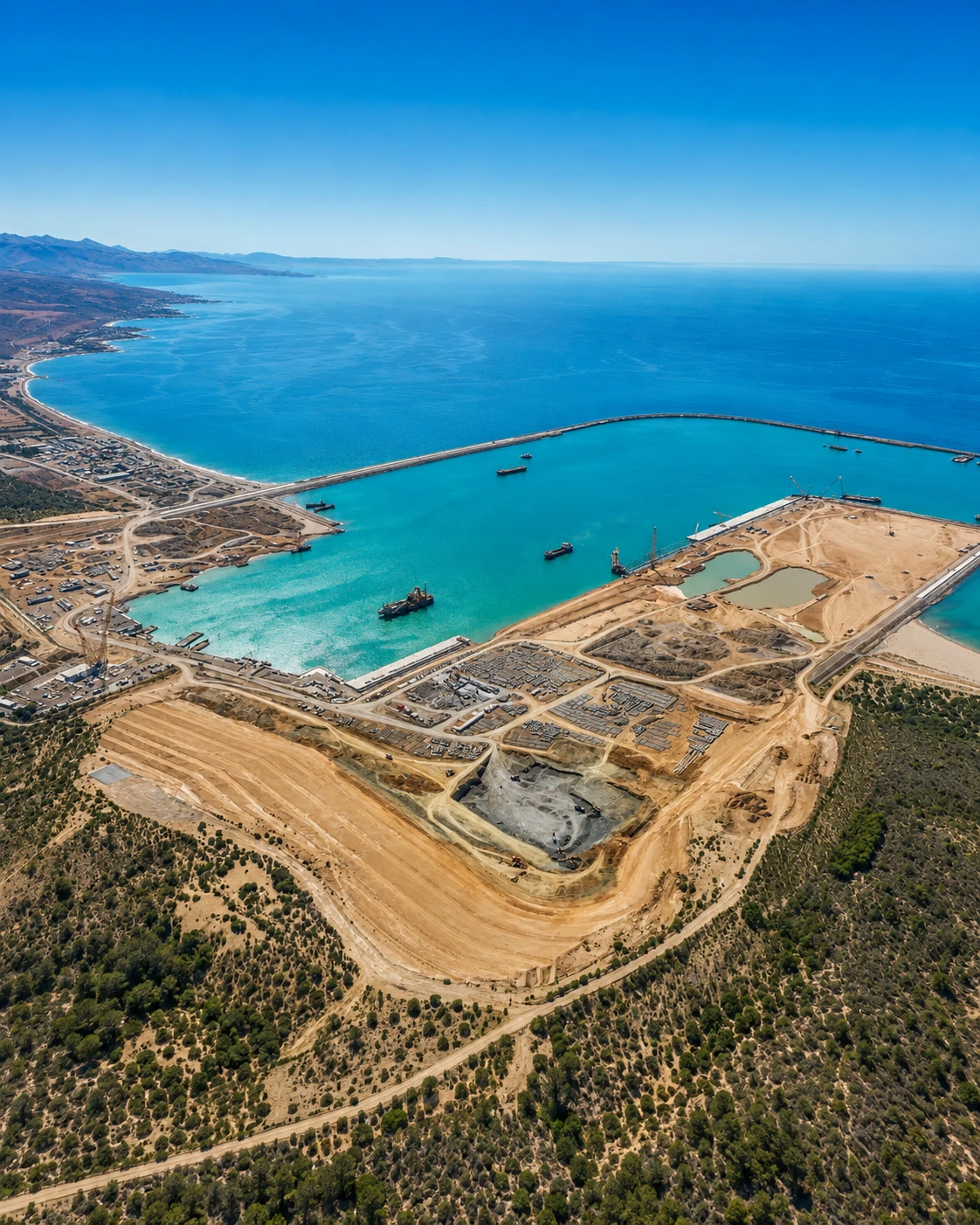
The city expanded through port activity, commerce, regional mobility and its position on Morocco’s northeastern Mediterranean edge.
03Since 2005Wetland recognition
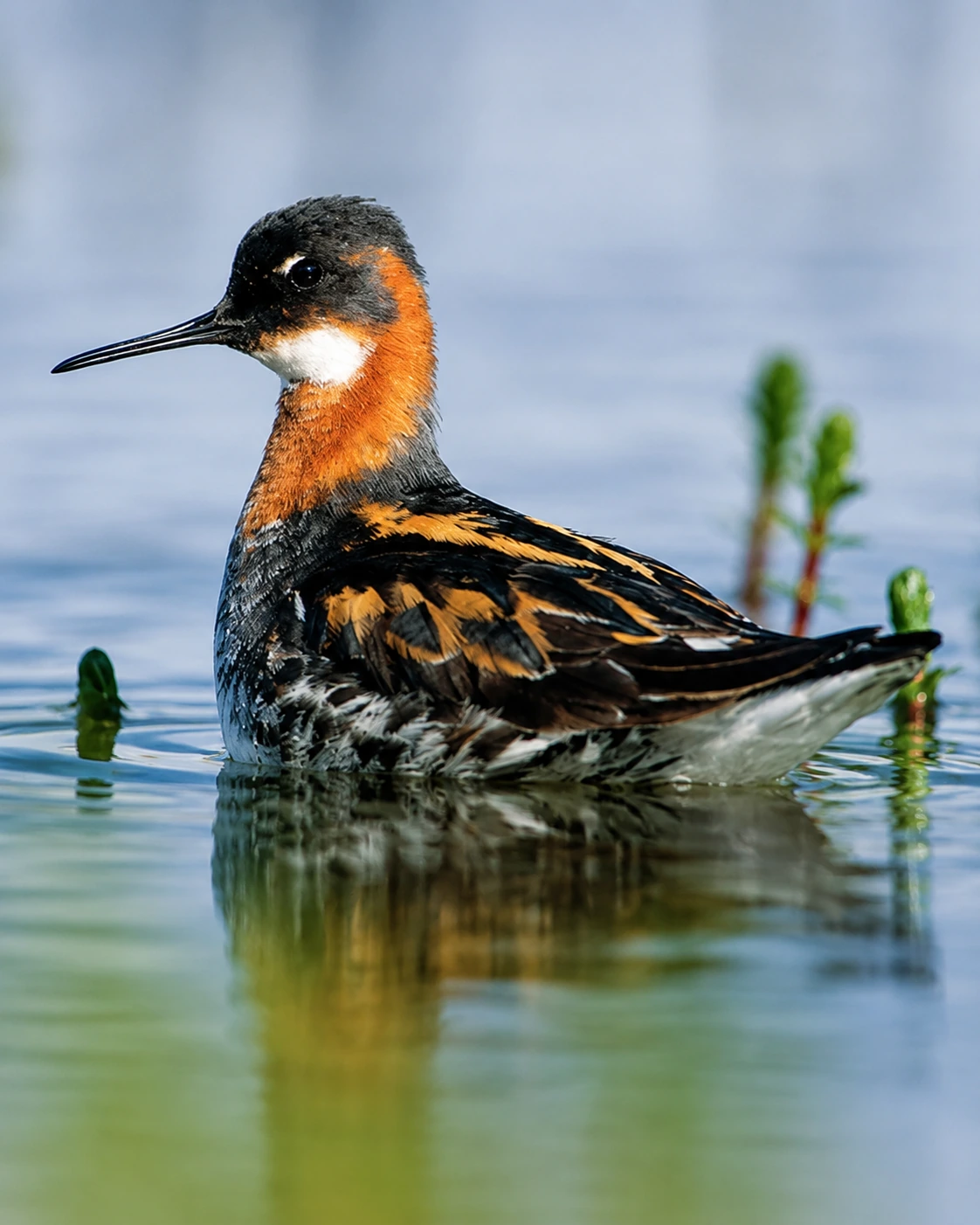
Marchica Lagoon has been recognised for ecological importance, including Ramsar wetland status, giving the city an environmental story as well as an urban one.
04Since 2008Marchica renewal
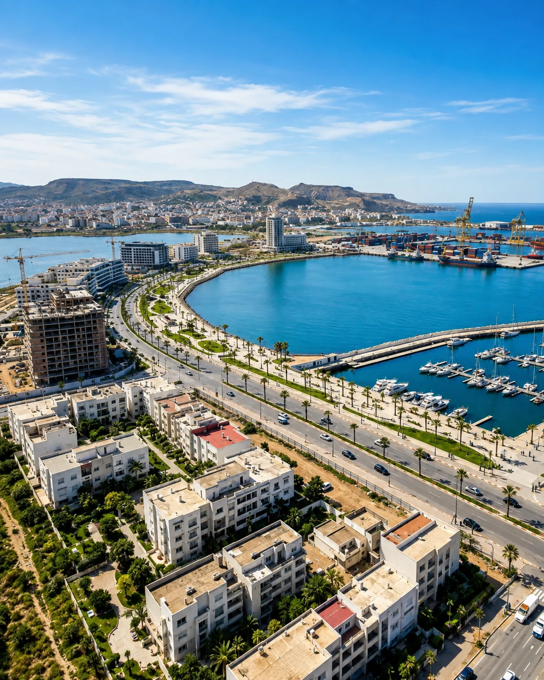
Lagoon restoration, corniche improvements and the Atalayoun development have reframed Nador’s waterfront while keeping the lagoon central to the city’s identity.