Why Ras El Ma matters
A coast before it is a beach stop.
Ras El Ma is one of those Moroccan coastal places whose meaning comes from position. Also known in French as Cap de l'Eau and often linked with the Ras Kebdana name, it sits in Nador province on the Mediterranean shore of the Oriental region.
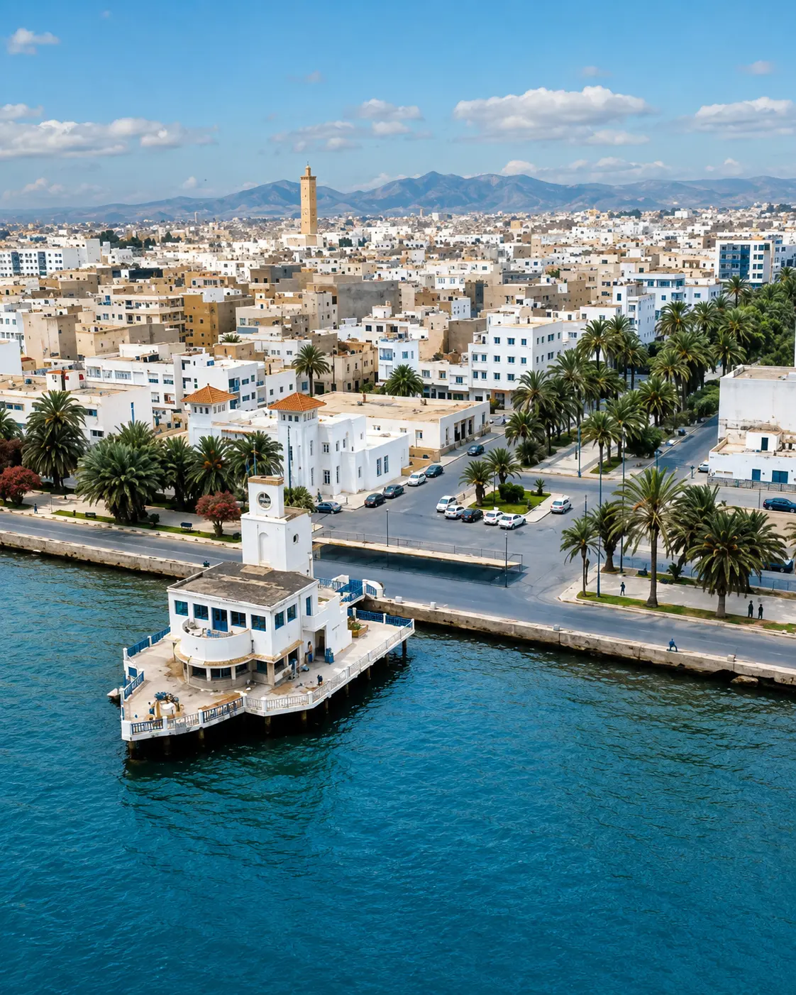
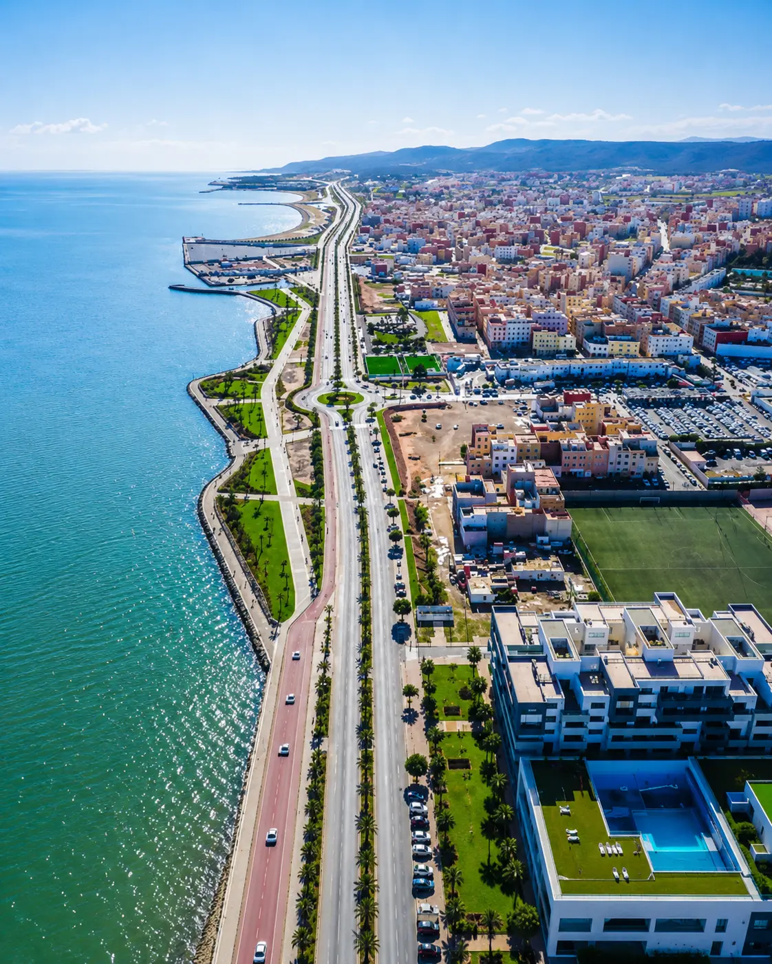
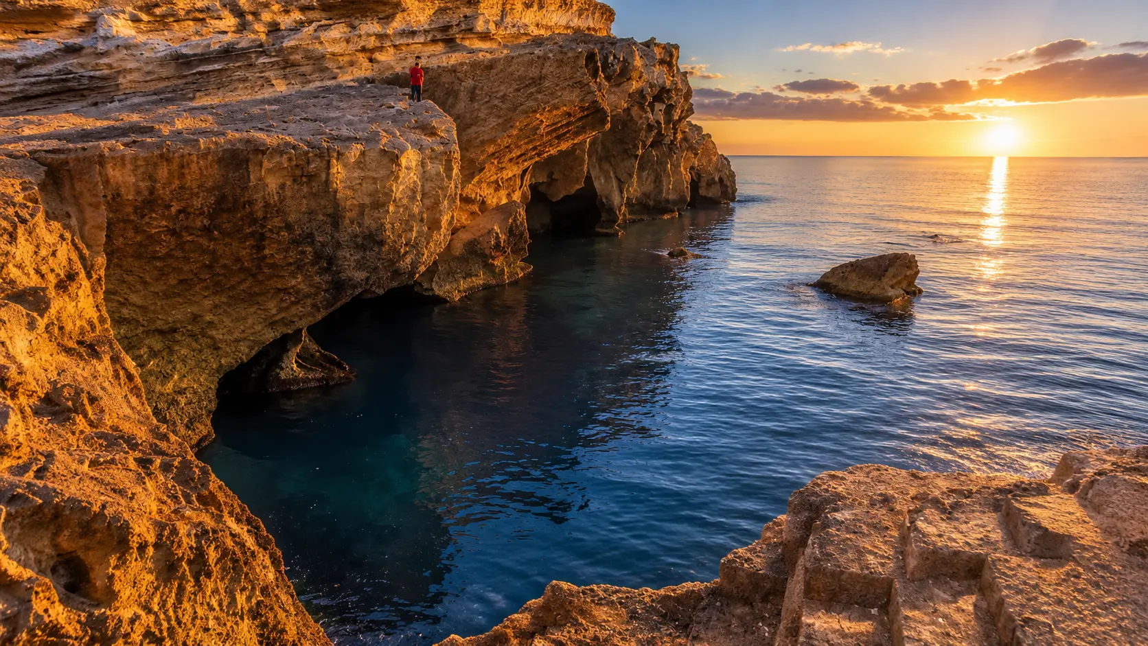
The place matters because it joins several coastal readings in one compact scene. There is the open beach, the rocky side of the shoreline, the working rhythm of a small fishing port and the wider eastward context of the Moulouya mouth near Saidia.
That combination gives Ras El Ma a different register from a resort-only beach. It can be relaxed and family-oriented in summer, but it also carries the texture of a lived coast: boats, fish restaurants, morning movement, cliff paths, sea air and local visitors using the shore in ordinary ways.
The landscape asks for a careful eye. Mediterranean water can make the first impression, but the stronger reading comes from how blue water, pale rock, sand, harbor edges and inland dryness sit beside one another without needing dramatic staging.
For visitors, Ras El Ma works best as a slow coastal pause within the Nador and Oriental Morocco map. It rewards people who look beyond the swim-and-leave rhythm, respect local space, and notice how a beach can also be a working shore.
Core orientation is grounded in the Moroccan official portal article on Ras El Ma in Nador province. Practical details such as sea conditions, services, access and seasonal crowding should be checked close to travel.