Why Haut Atlas Oriental National Park matters
A compact lesson in Moroccan mountain geography.
Haut Atlas Oriental National Park matters because it turns a large part of the eastern High Atlas into a readable protected system, not a single scenic stop. The official PNHAO material places the park in Midelt province, established in 2004 and covering 55,680 hectares of high relief, inland waters, forest habitats and lived mountain routes.
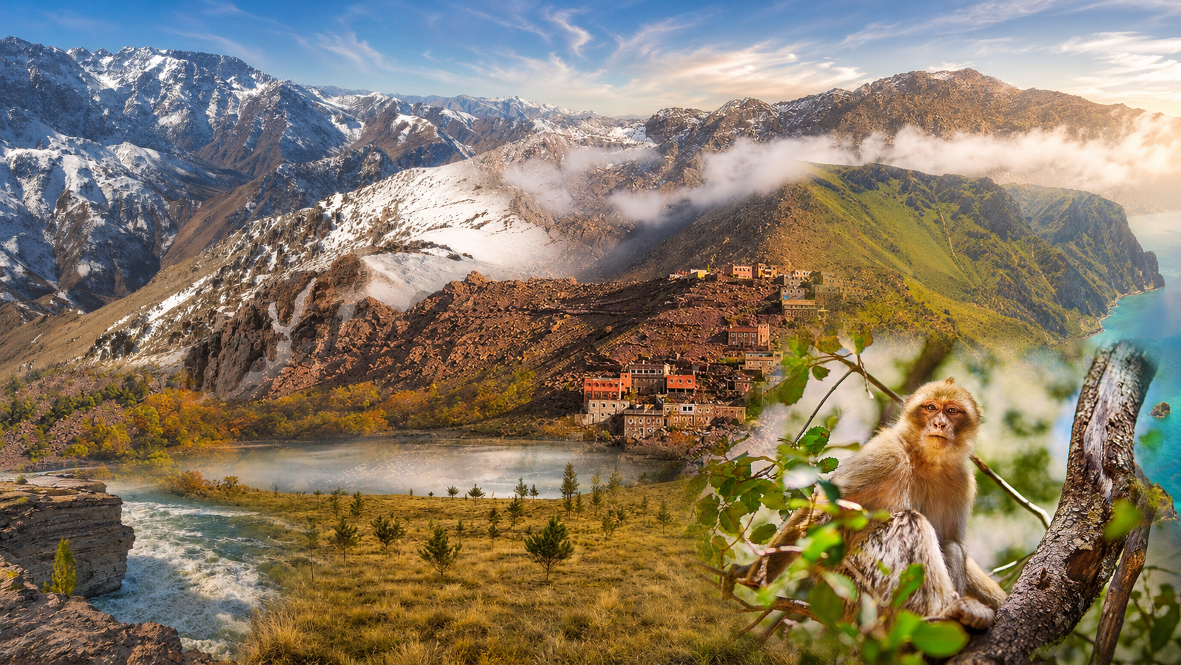
The geography is specific. Djebel Ayachi gives the park its highest mountain identity, while the Imilchil plateaus and the lakes of Isly and Tislit explain why water is central to the story. These anchors make the landscape feel layered: snowy summits, mineral slopes, blue water, green basins and drier high-country light in one frame.
The protected value is ecological as well as visual. Atlas cedar and thuriferous juniper form important highland forest structure; rocky slopes, lake edges and quieter valleys support wildlife such as Barbary sheep, Barbary macaques and wetland species.
The human reading matters too. Villages, grazing logic, local roads and Amazigh highland culture are part of how the place is understood. A respectful visit sees the park as living mountain territory, where ecology, movement and settlement sit close together.
Midelt is the clearest city context for this page because it connects the protected area to Eastern Atlas routes, while Imilchil helps orient the highland lake setting. Together they prevent the park from feeling abstract on the map.
Facts are grounded in the official PNHAO page and Protected Planet / WDPA. Check weather, access and route conditions close to travel.