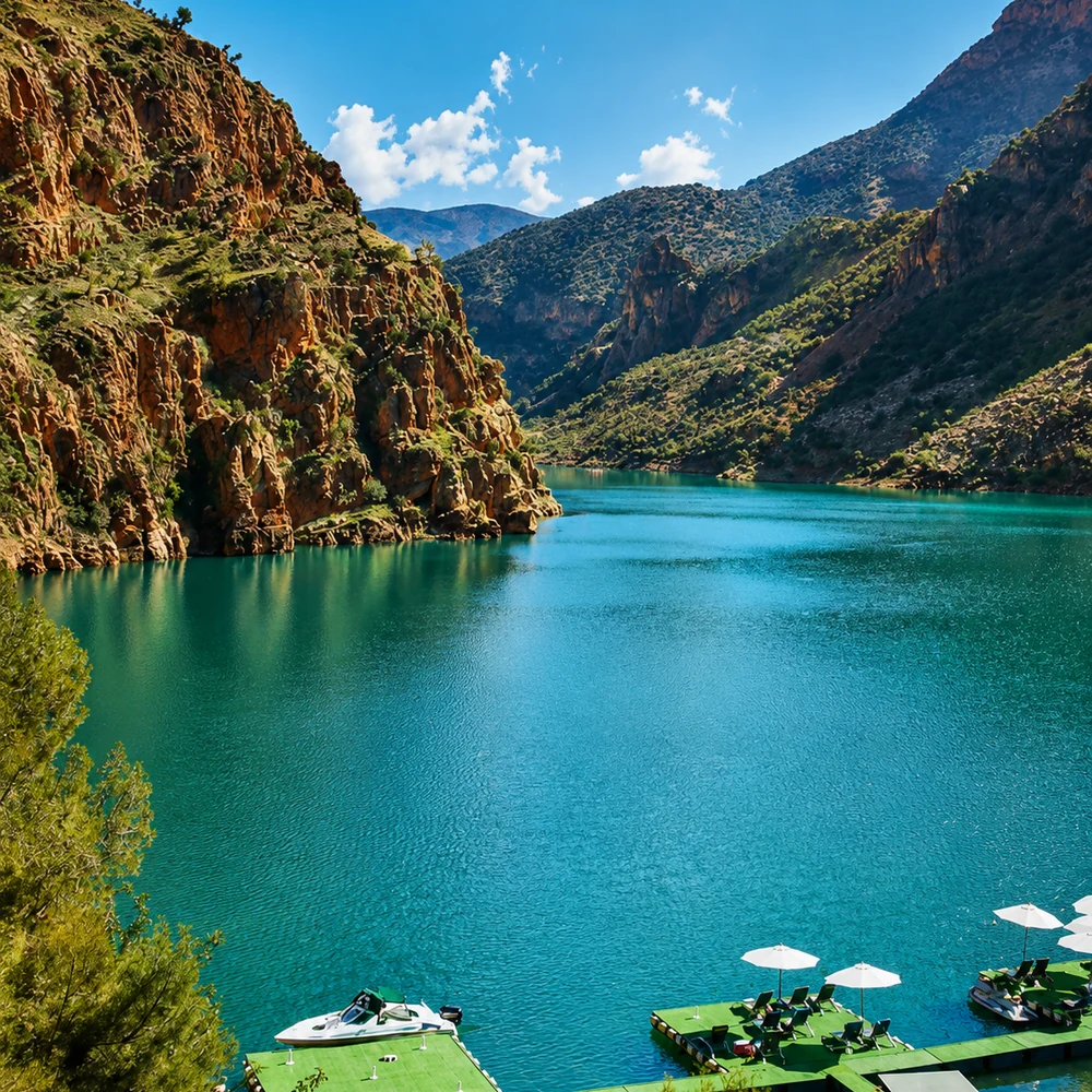
Atlas Mountains
Mountain landscapes, valleys, passes and highland culture.

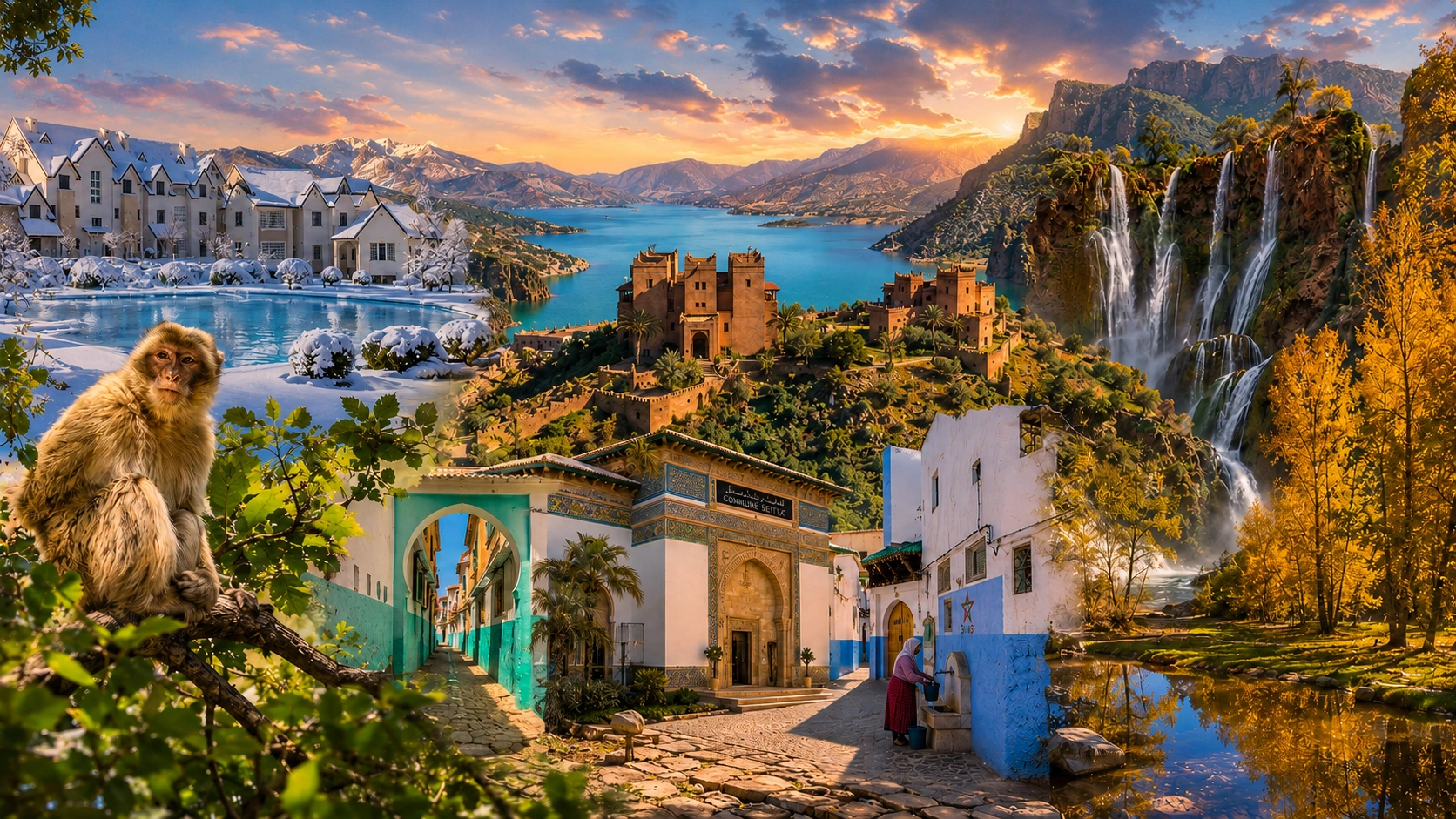
Cedar Forests, High Valleys & Interior Routes
This region gathers the mountain and inland logic of Morocco: cedar forests, Middle Atlas towns, agricultural plains, Anti-Atlas landscapes and central routes.
The Middle Atlas, High Atlas and Anti-Atlas are distinct systems, with different routes and landscapes inside each. This collection also includes foothills and agricultural plains because mountain towns depend on connections beyond their immediate slopes. Think in clusters and changes of elevation, not in one continuous scenic circuit.
Mountain landscapes, valleys, passes and highland culture.
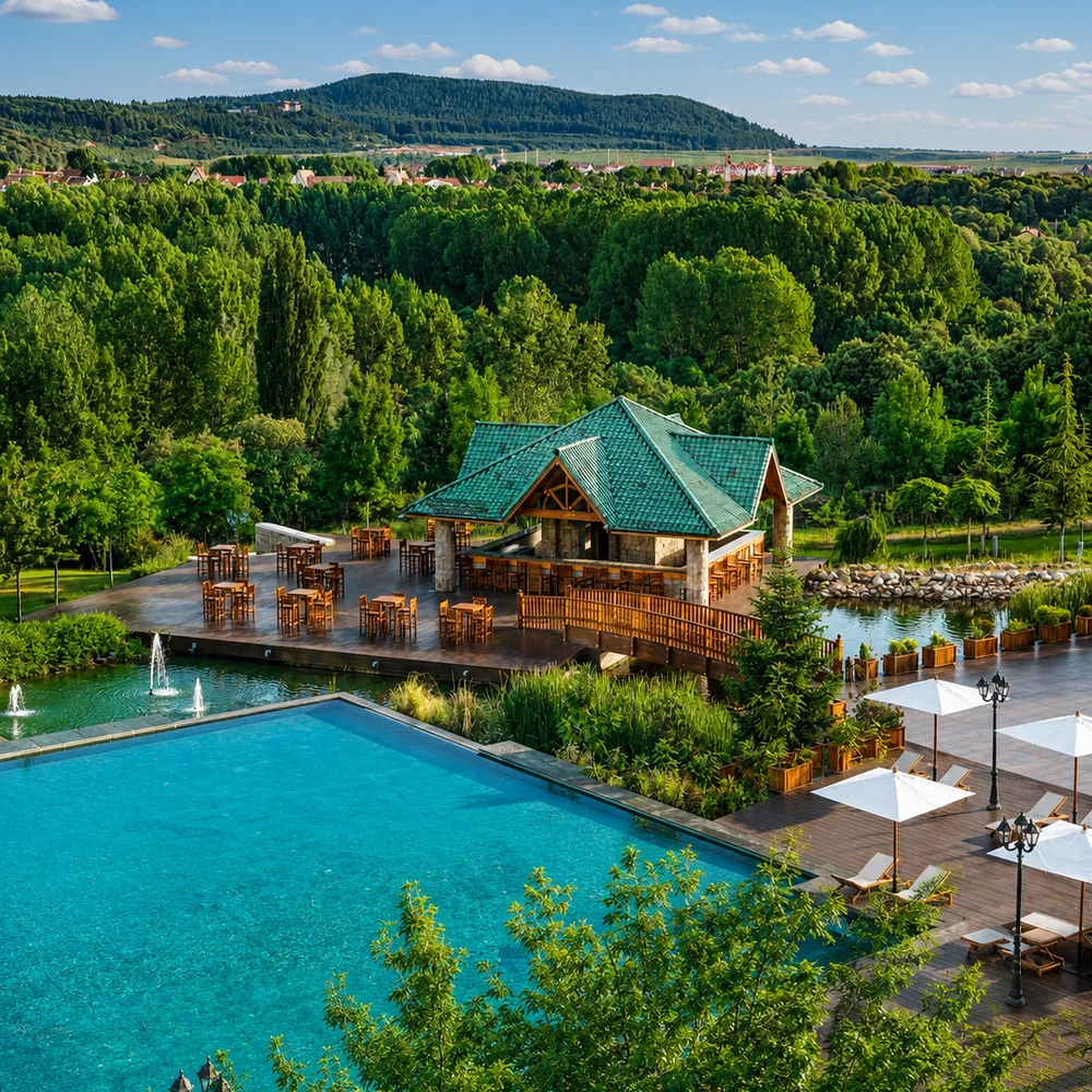
Cedar forests, alpine atmosphere and Middle Atlas identity.
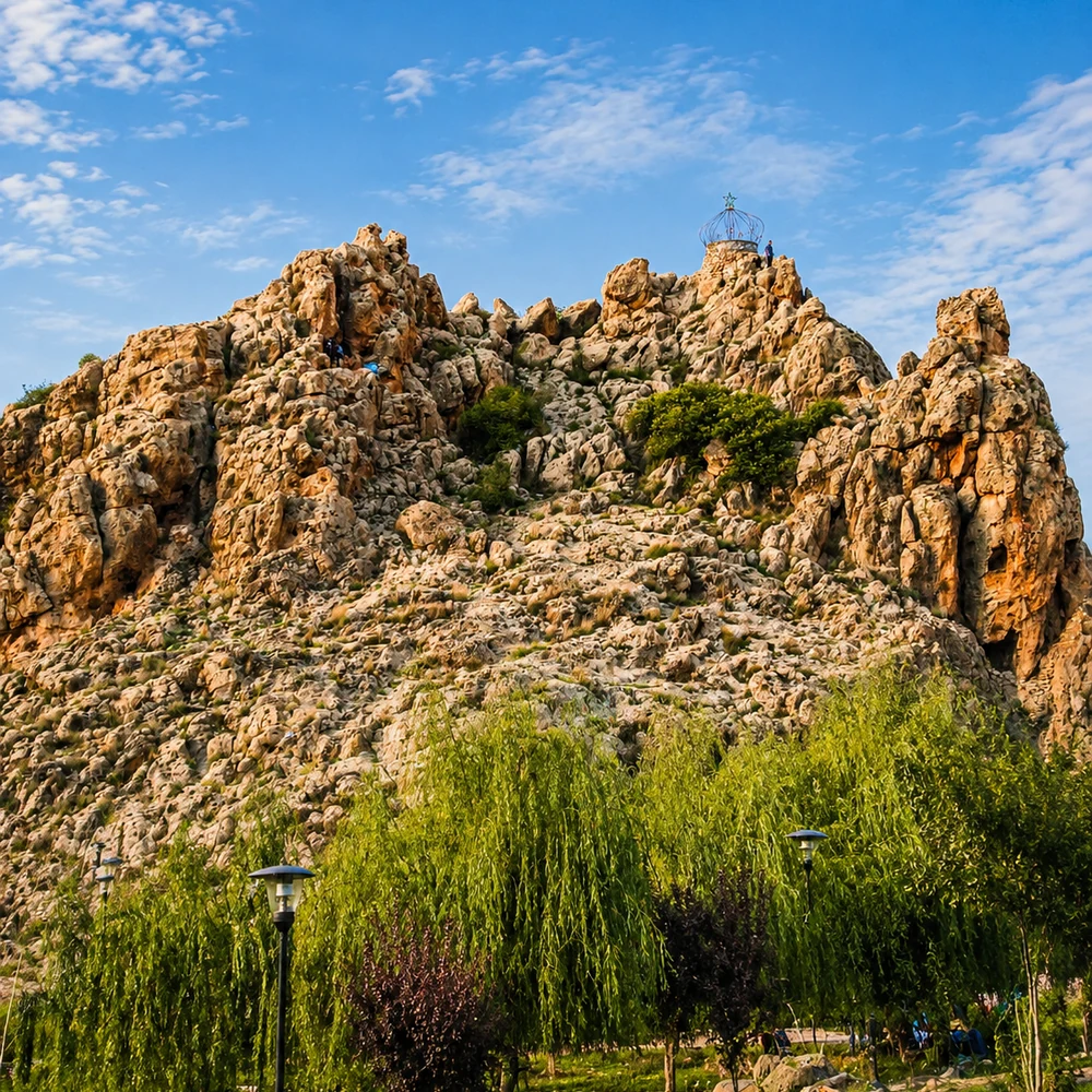
Amazigh market town, cedar landscapes and Middle Atlas routes.
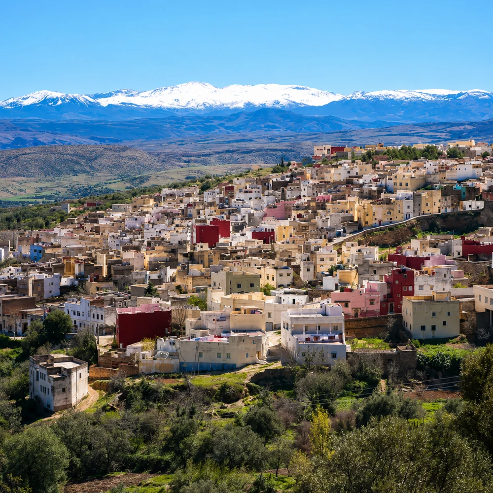
Historic town, orchards, waterfalls and cultural crossings.
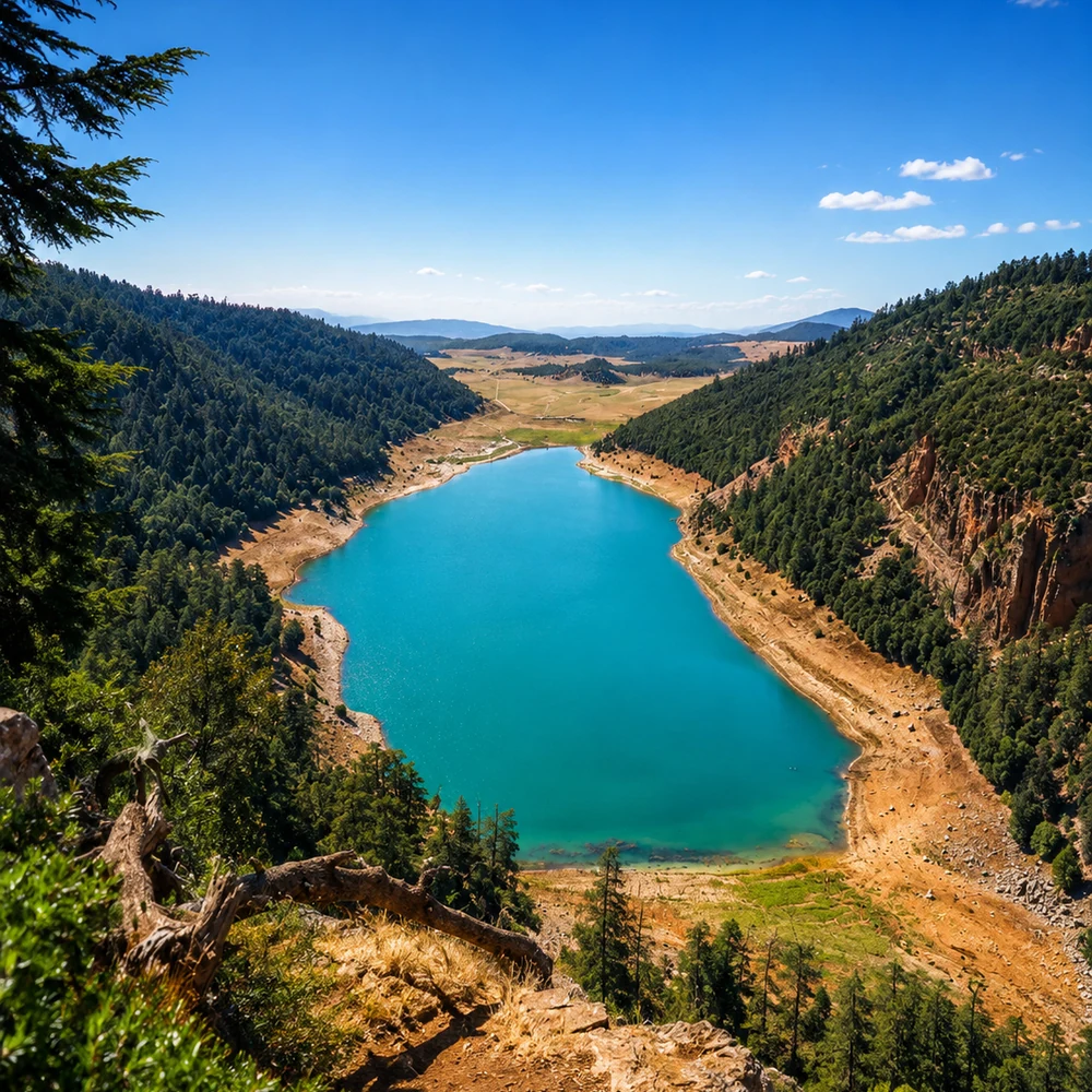
Zayan heritage, Middle Atlas landscapes and interior identity.
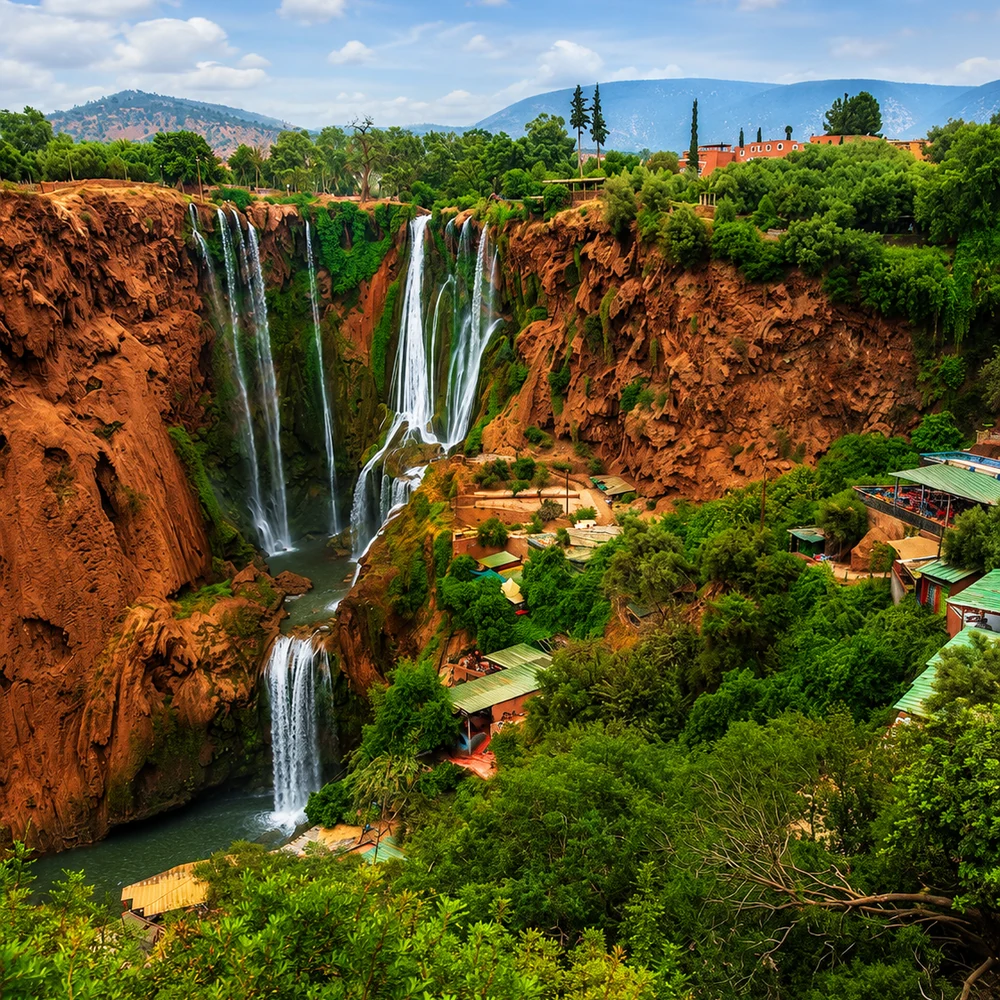
Agricultural plains and Atlas foothill gateway.
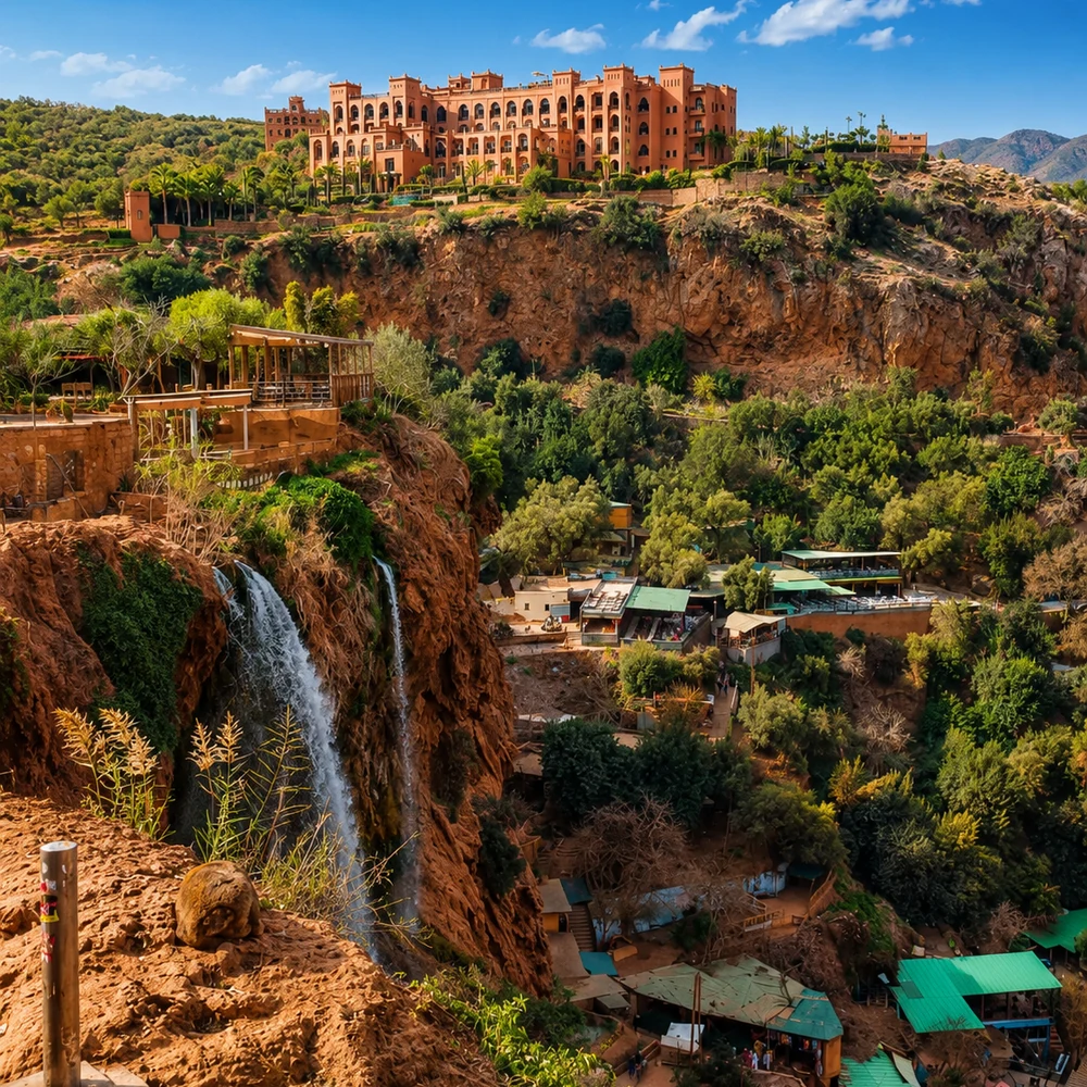
Mountain province, waterfalls and highland landscapes.
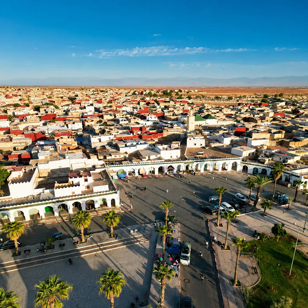
Spiritual and textile heritage in central Morocco.
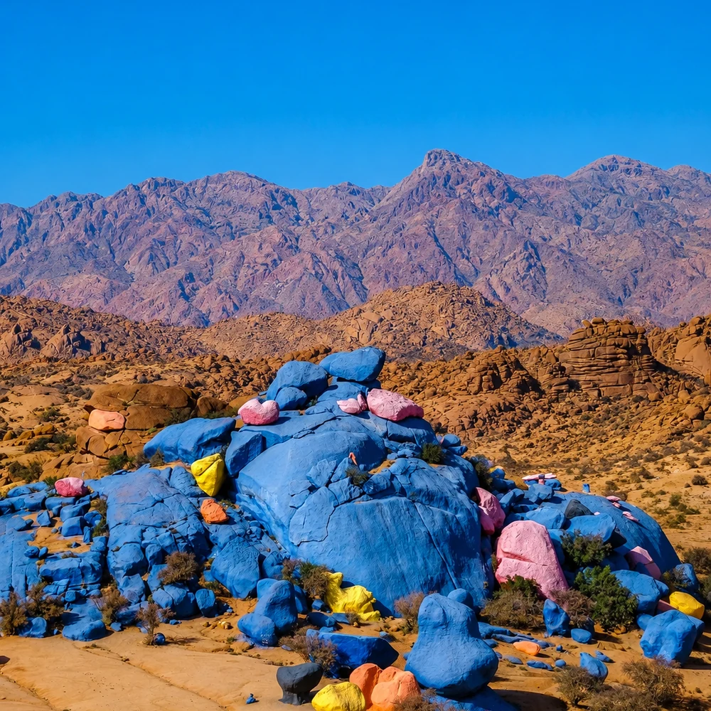
Anti-Atlas granite landscapes and Amazigh village culture.
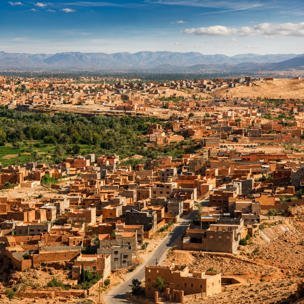
Inland Chaouia plain city connected to the Casablanca-Settat corridor.
The route moves from Atlas-wide mountain logic into Middle Atlas towns, central foothills, Azilal’s high-valley nature, Anti-Atlas granite and the Chaouia plain.
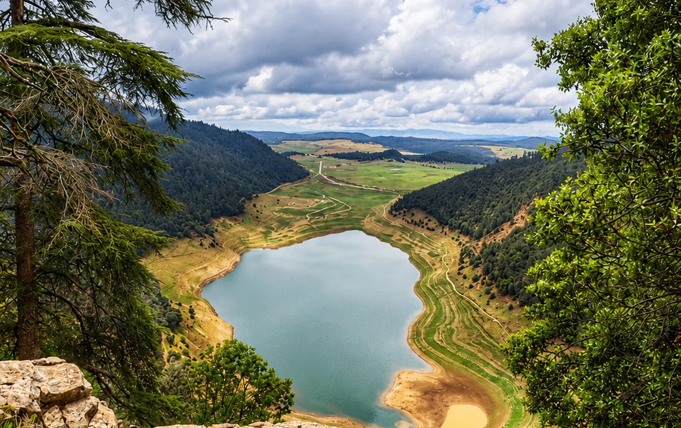 Atlas interior route · Forest towns to Anti-Atlas granite
 Ifrane and Azrou
 Sefrou and Beni Mellal
 Azilal
 Khenifra
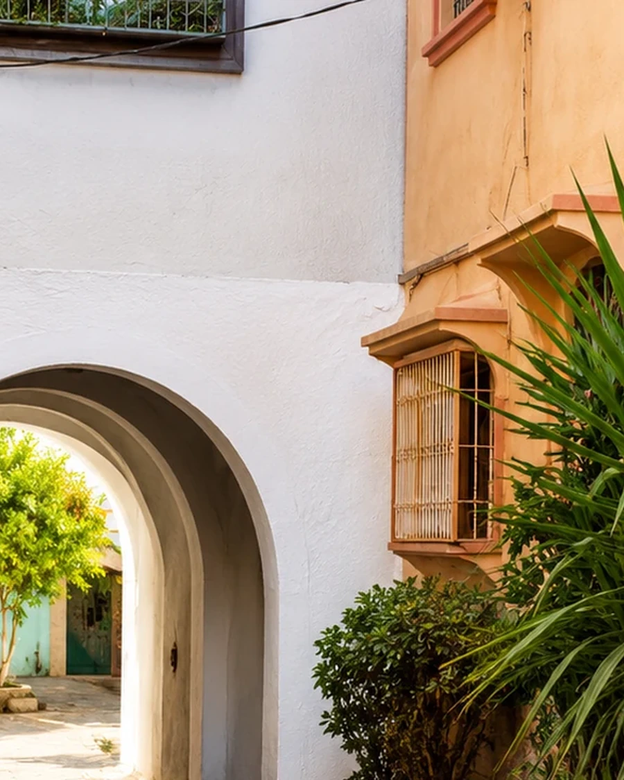 Bejaad-Boujaad
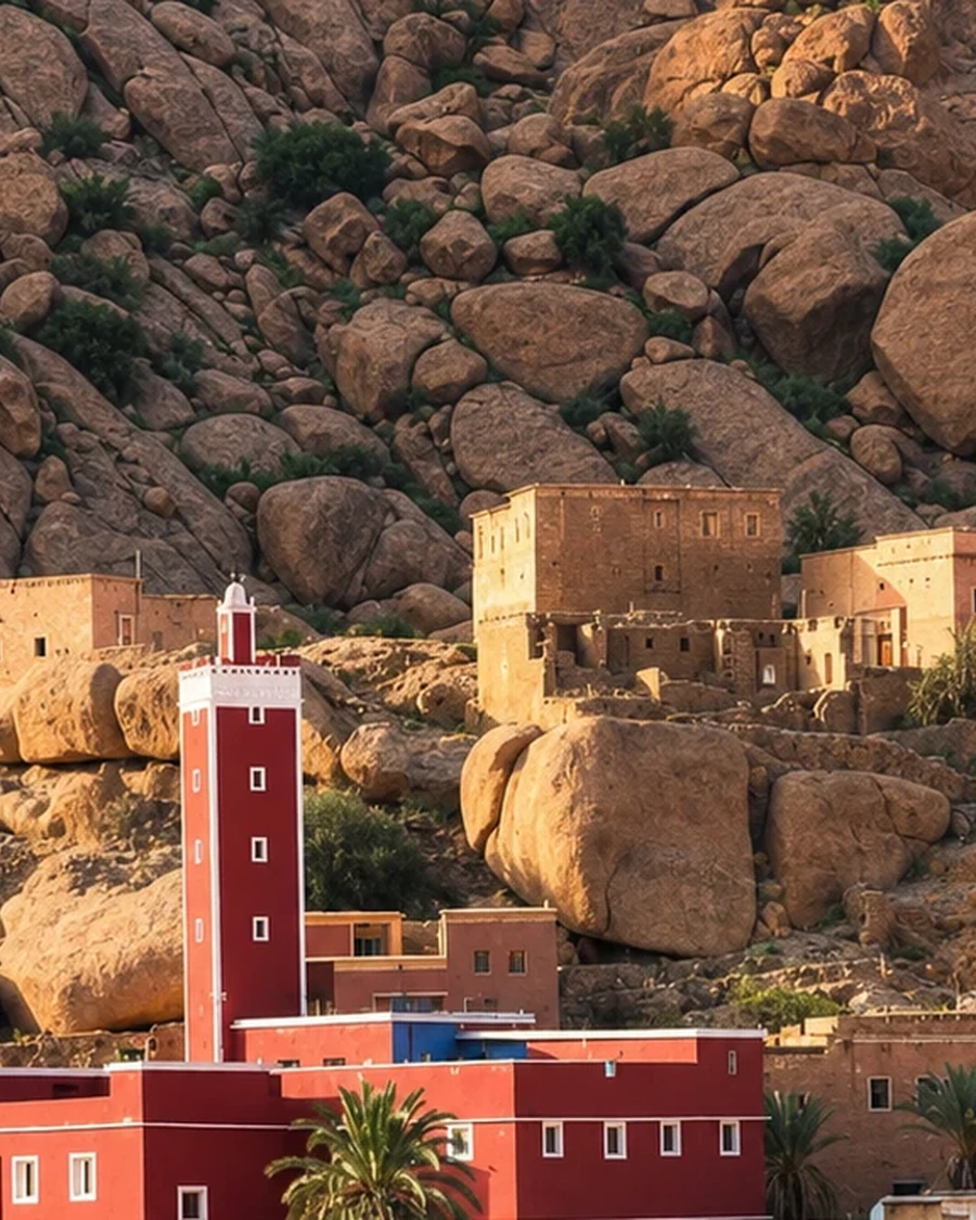 Tafraout
The region shows Morocco away from the coast and imperial-city line: forest towns, foothills, valleys, plains, water routes and southern granite landscapes.
Ifrane and Azrou connect cool air, cedar country, lakes, wildlife and Middle Atlas routes.
Beni Mellal and Azilal link springs, waterfalls, lakes, valleys and M’Goun geopark landscapes.
Sefrou, Khenifra, Bejaad-Boujaad, Tafraout and Settat add orchards, heritage, textiles, plains and villages.
Ifrane brings cedar-green Middle Atlas identity; Azilal brings waterfalls and high valleys; Tafraout adds Anti-Atlas granite; Settat anchors the inland plain corridor.
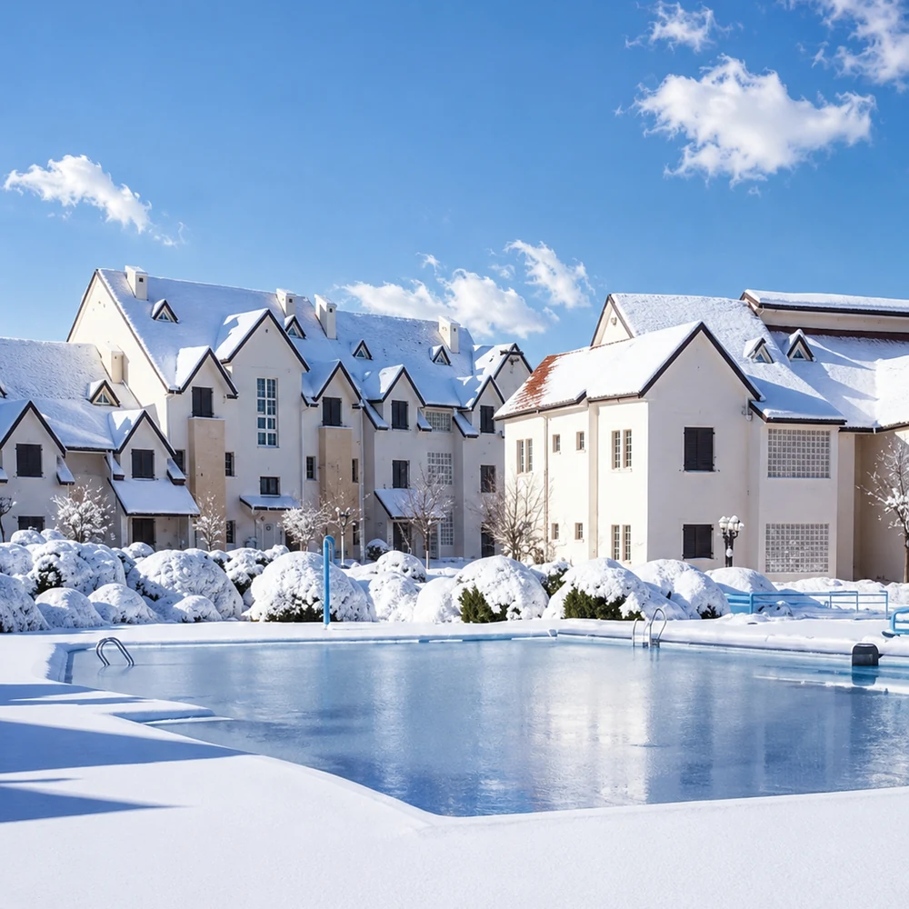
Cedar forests, lakes, clean air and Middle Atlas green identity.
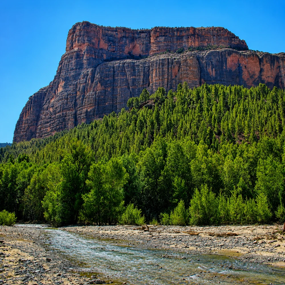
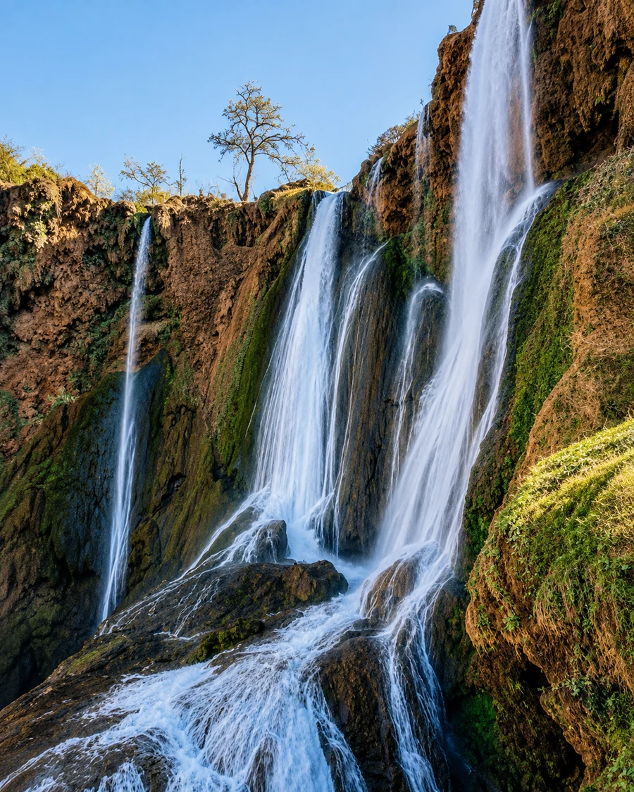
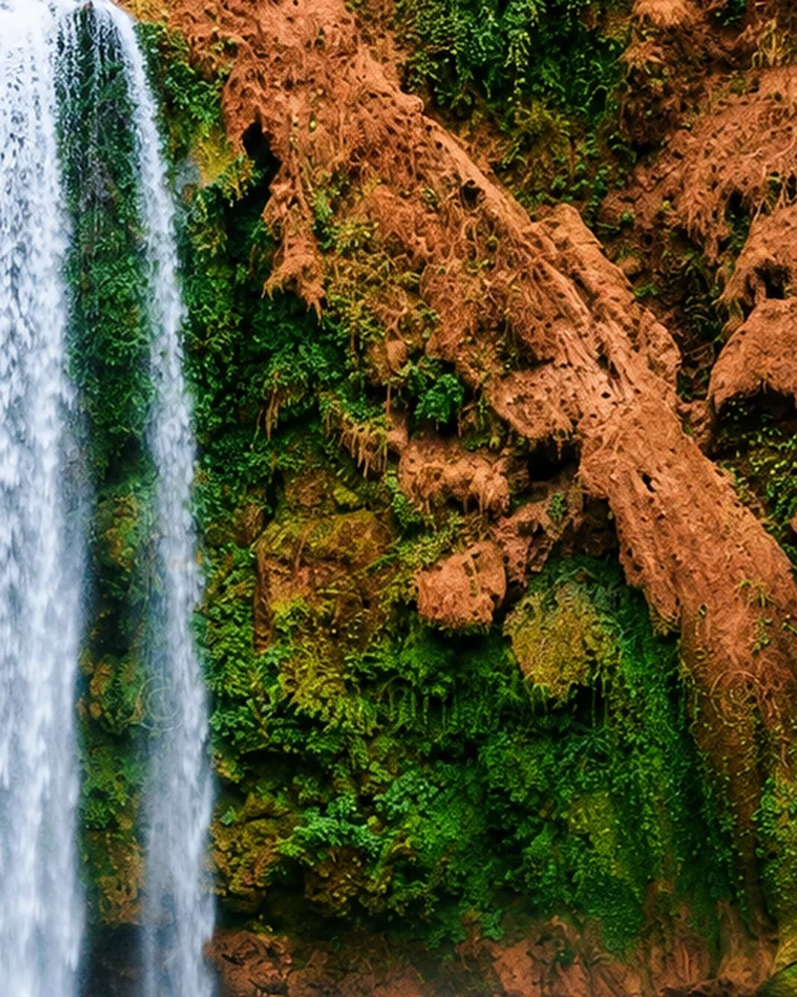
Waterfalls, high valleys, Bin El Ouidane and M’Goun geopark routes.
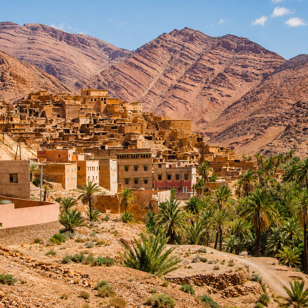
Anti-Atlas granite, Ait Mansour Valley and southern Amazigh village landscapes.
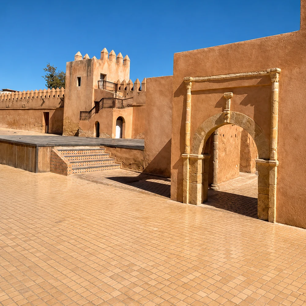
Chaouia plain city, Kasbah Ismailia and the Casablanca-Settat corridor.
The route is built from cedar forests, orchard towns, highland lakes, agricultural plains, waterfalls, spiritual heritage, Anti-Atlas rock and Chaouia corridor life.
Ifrane, Azrou, Sefrou and Khenifra carry cedar forests, orchards, lakes and highland route logic.
Beni Mellal and Azilal connect the Tadla plain to springs, waterfalls, lakes and High Atlas valleys.
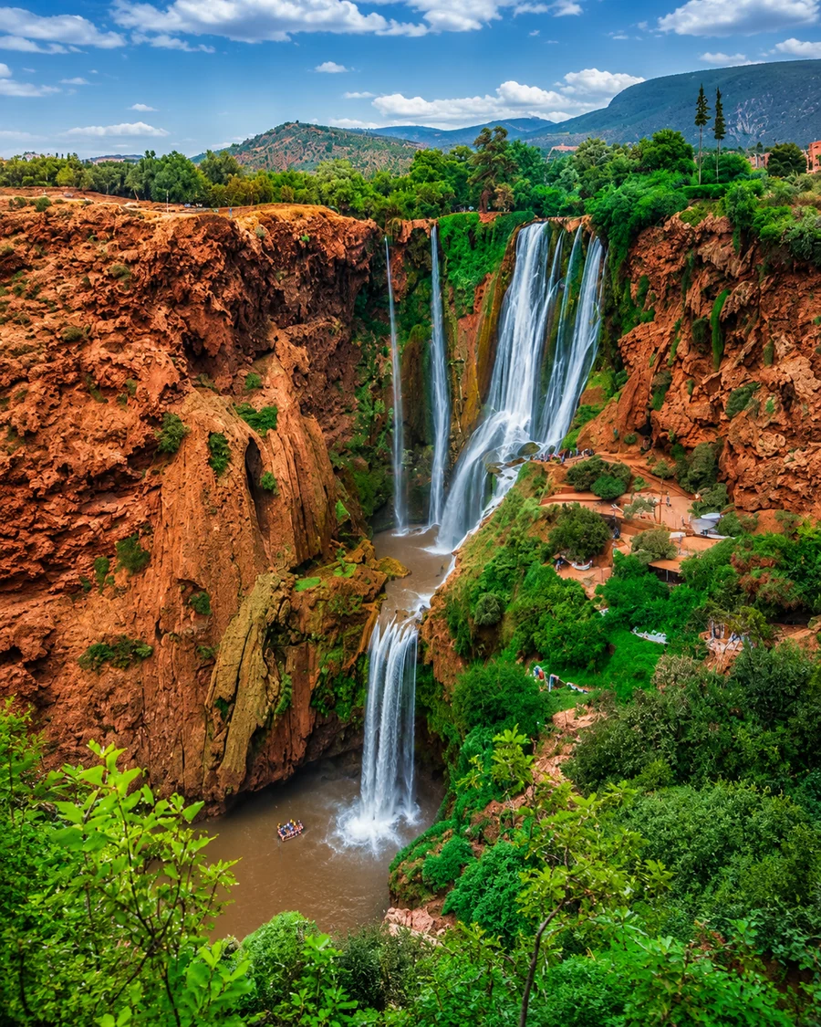
Azilal’s nature chapter is anchored by M’Goun geopark landscapes, Ouzoud and connected mountain valleys.
Sefrou, Khenifra and Bejaad-Boujaad add festival, Zayan and zaouia-linked heritage layers.
Settat links the interior story to agricultural plains and the Casablanca-Settat corridor.
Morocco’s mountain spine links High Atlas routes, Middle Atlas cedar country and Anti-Atlas granite landscapes.
Read the relief before choosing a route. A valley floor, a forest road and an exposed pass may look close on a small map but demand different time and preparation. Choose one mountain area to understand in depth. Local guiding can connect the scenery with names, farming and settlement, while also helping establish what is appropriate in current conditions. The mountains are inhabited landscapes; paths to homes, fields and workplaces are not automatically public sightseeing trails.
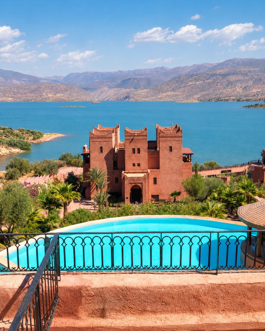 Atlas Mountains
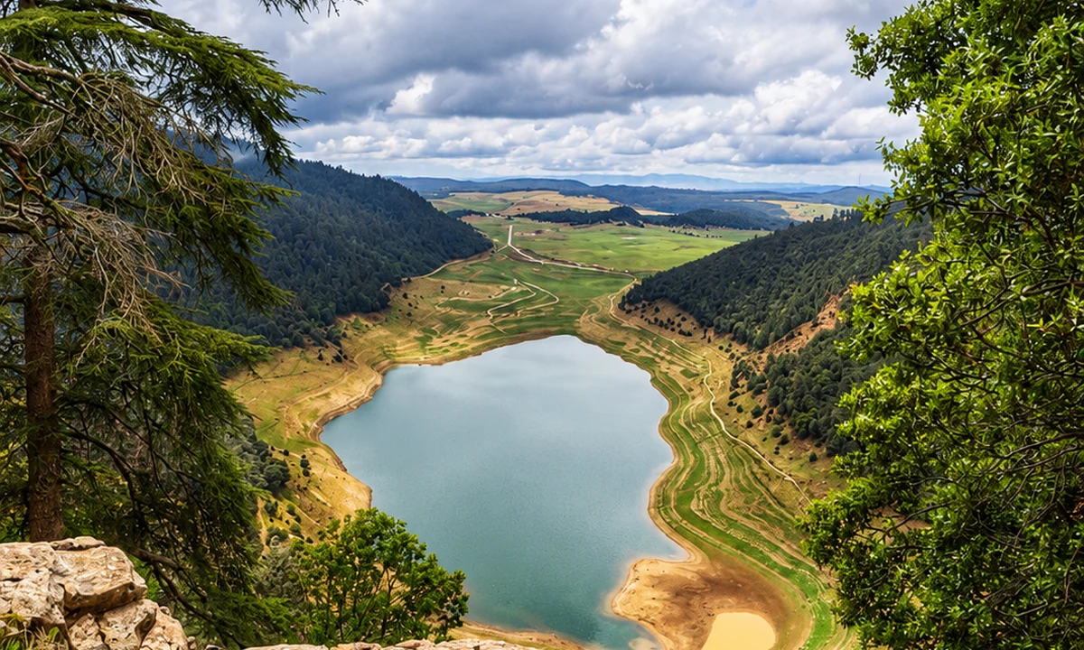 High Atlas landscapes
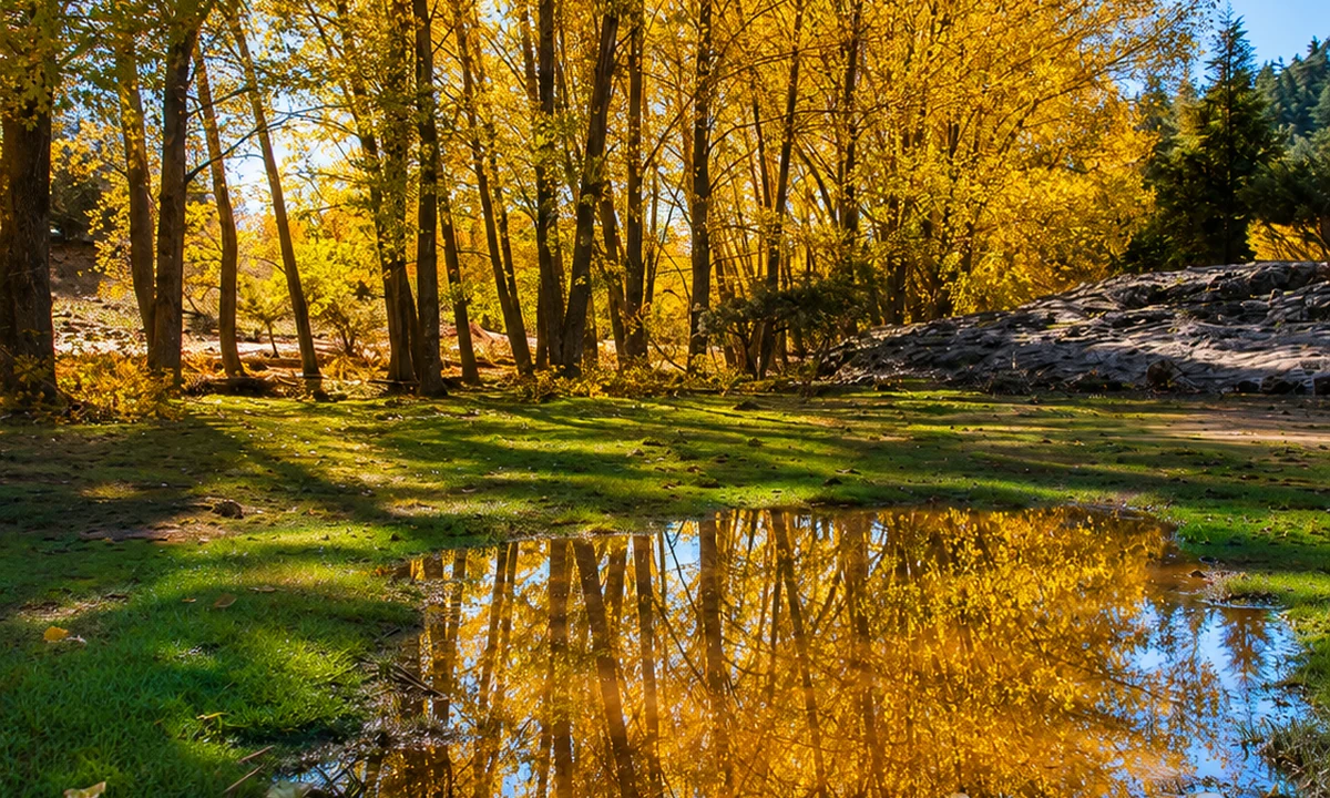 Middle Atlas cedar country
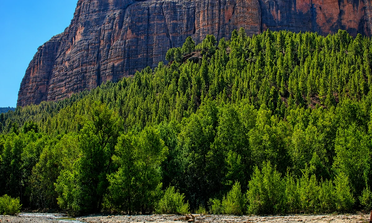
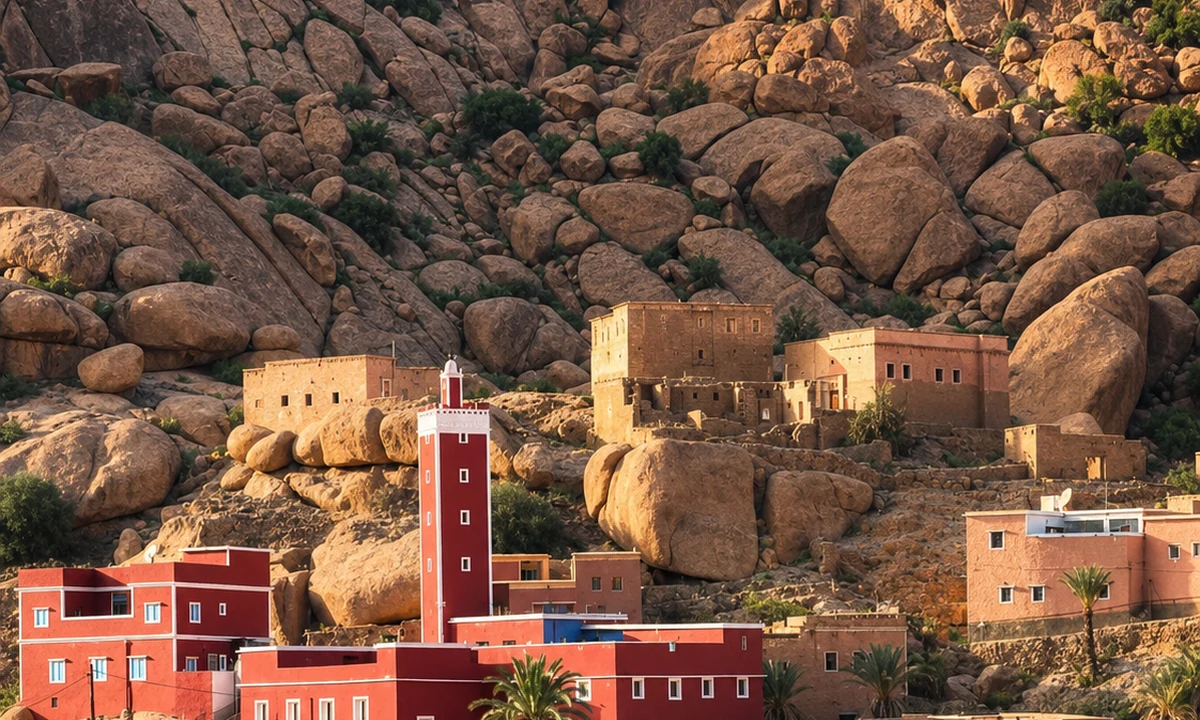 Anti-Atlas granite country
 Toubkal National Park
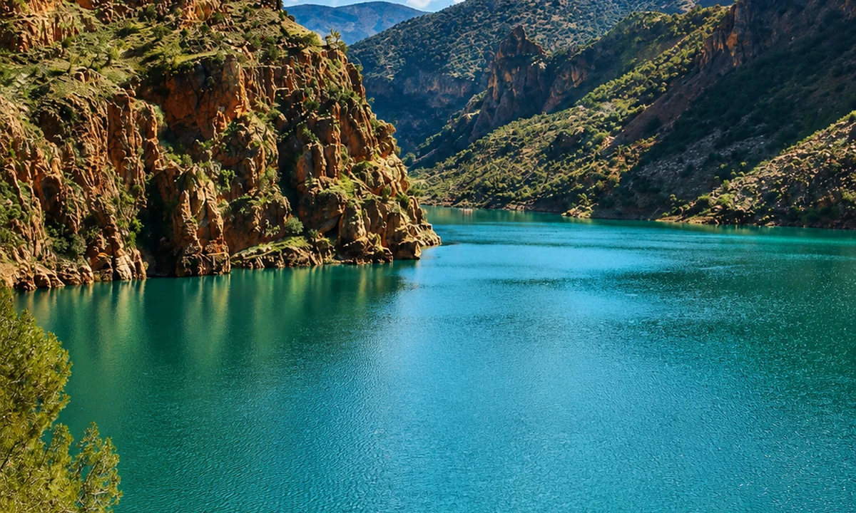 M’Goun Geopark
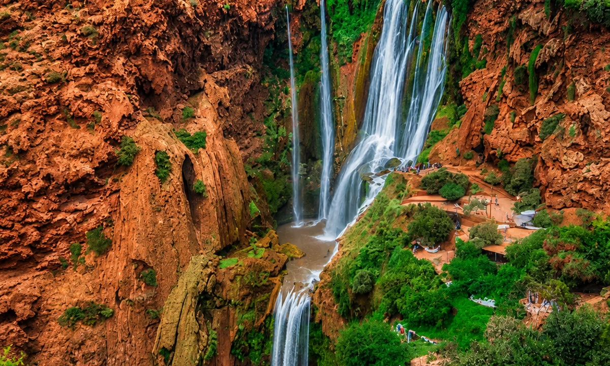 Ouzoud Waterfalls
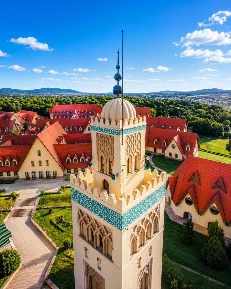 Ifrane
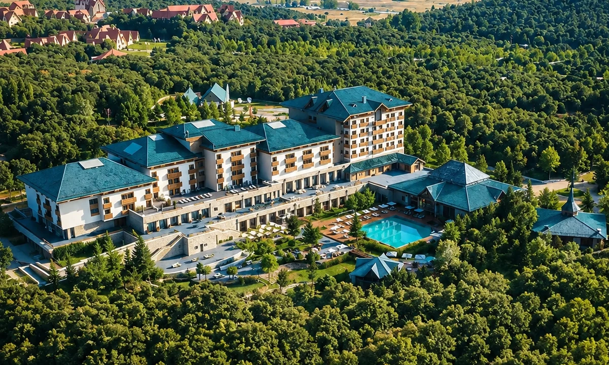 Forêt d’Ifrane
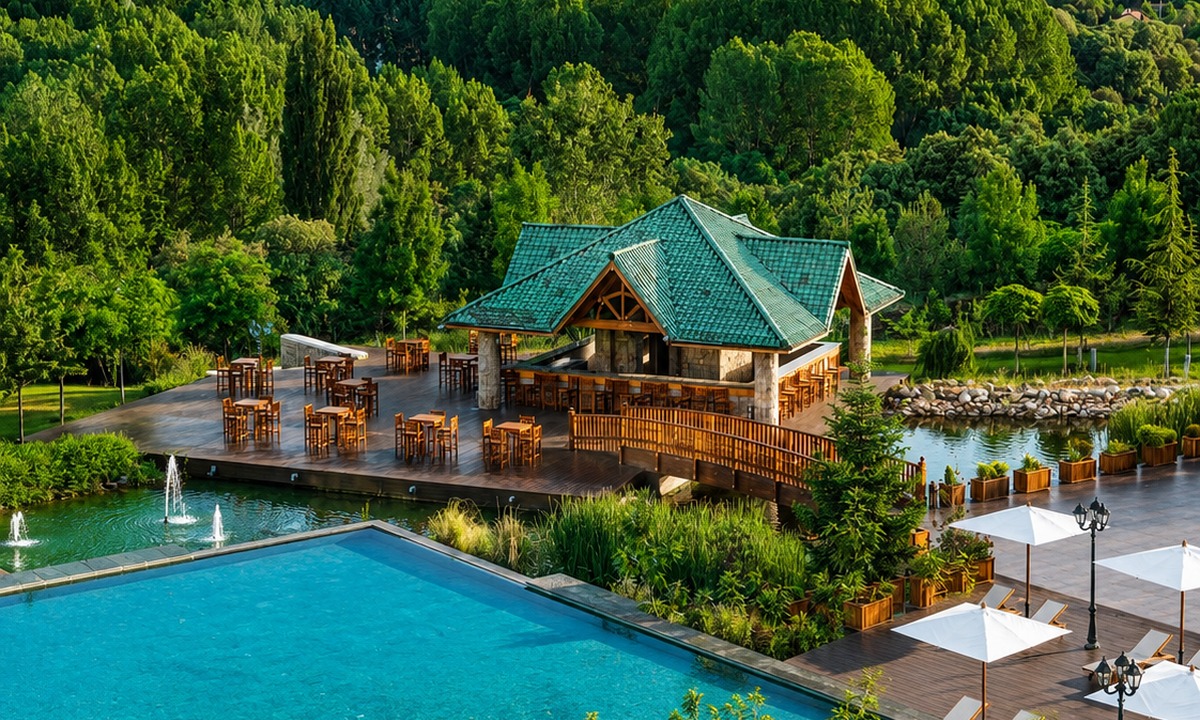 Dayet Aoua lake
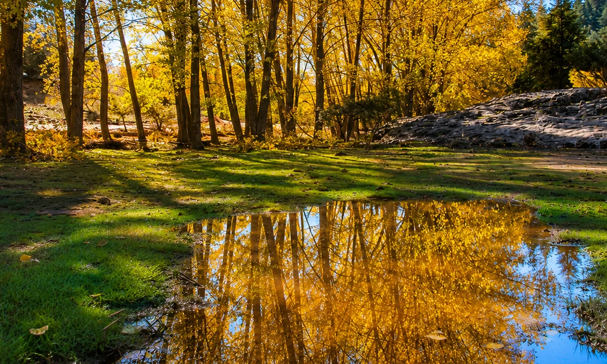 Ain Vitel river
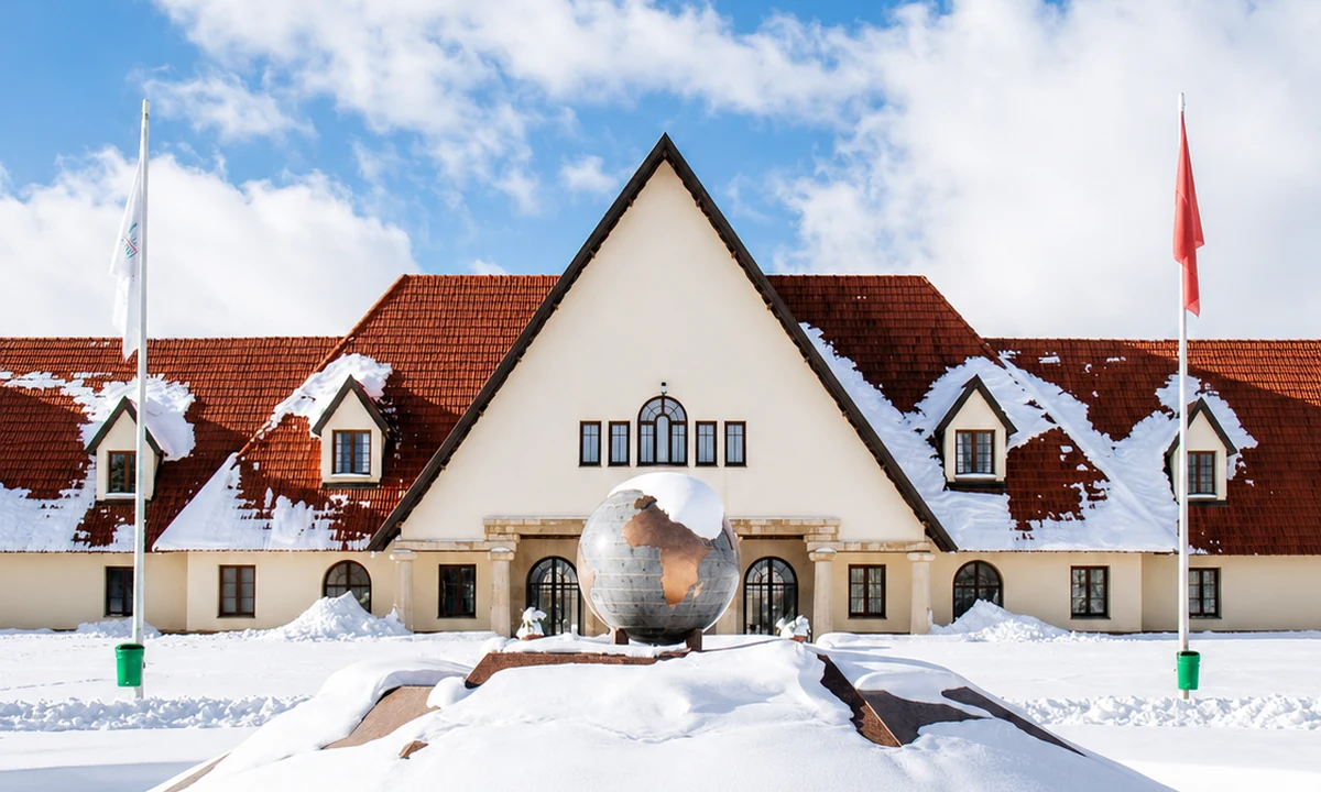 Michlifen ski station
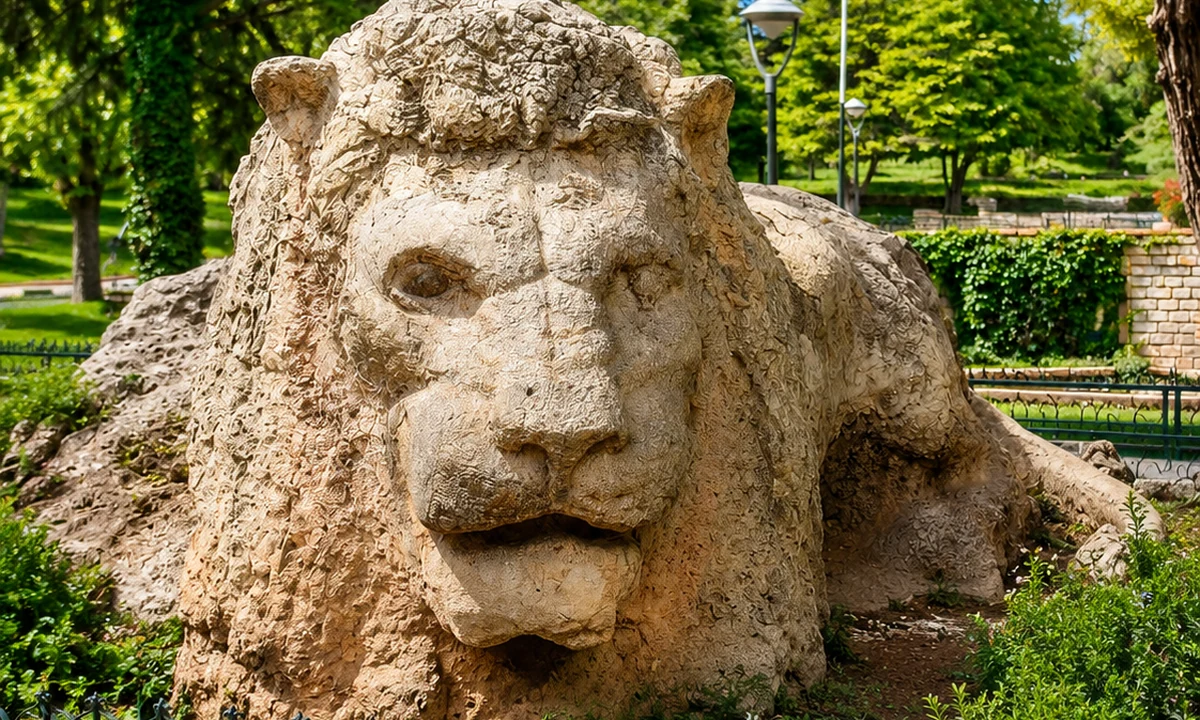 Lion of Ifrane
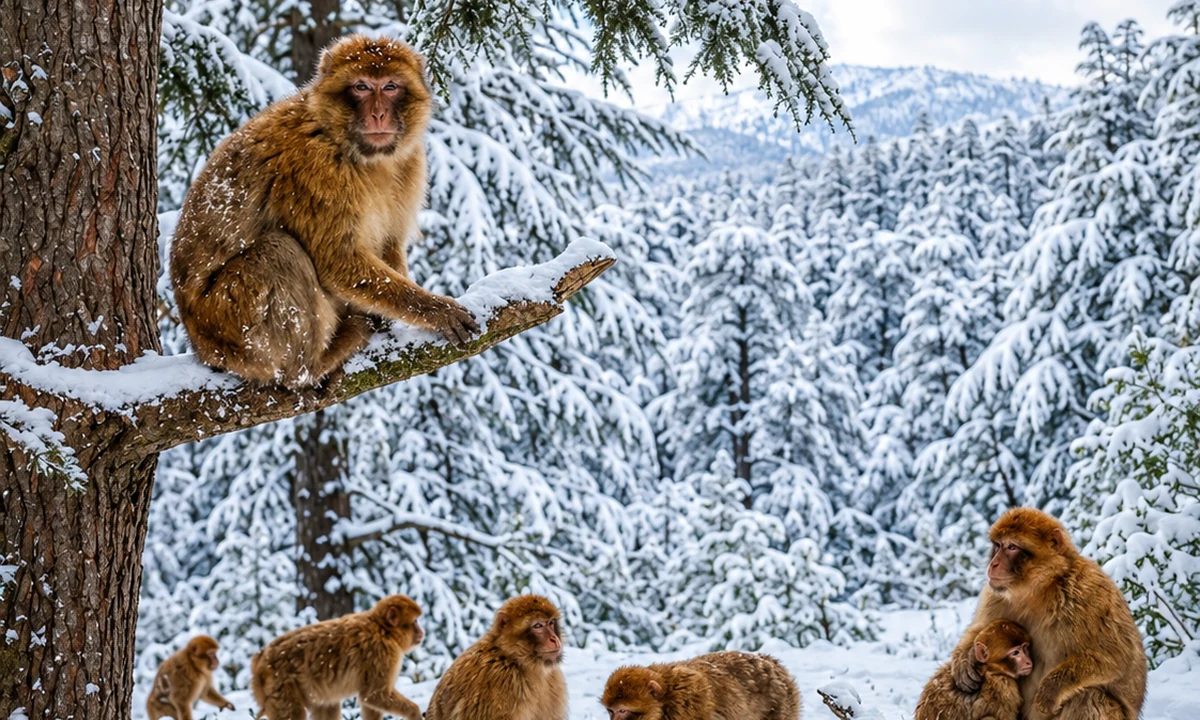 Barbary macaque forest
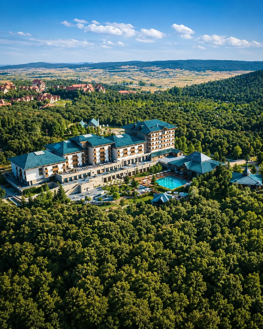
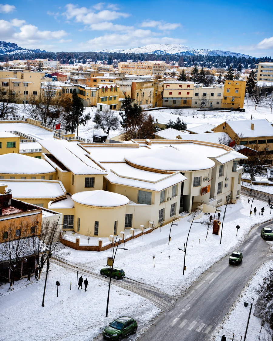
Ifrane introduces the cool, green face of the Middle Atlas.
The town is known for clean mountain air, cedar landscapes, lakes, winter sports and nearby forest routes.
It works as a gentle highland pause between Fez-Meknes routes and deeper Middle Atlas country.
Ifrane offers one particular mountain-town experience, not a template for every Atlas settlement. Compare its planned streets and building forms with the surrounding landscape and the different scale of nearby Azrou. Forest visits should leave room for quiet observation rather than staged wildlife encounters. Do not feed or approach wild animals. For travel, check conditions at the elevation you will reach; the atmosphere suggested by a green summer image can be very different in colder months.
Azrou gives the route a market-town and cedar-forest anchor.
The town sits beside Middle Atlas forest country and is closely linked to cedar routes, local craft, markets and nearby wildlife viewing.
It connects easily with Ifrane, Fez-Meknes routes and the forest roads of the central highlands.
Use the town to connect a forest outing with everyday exchange. Shops and markets place timber, textiles and other goods within practical lives, rather than a decorative idea of mountain culture. Ask where an object was made and which work happened locally. A conversation in town can also clarify the distinction between a short roadside forest stop and a longer guided walk. Choose the experience deliberately instead of assuming every cedar route is equally accessible.
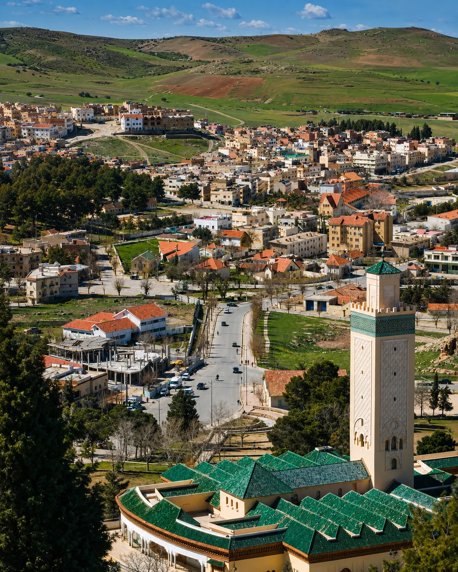 Azrou
Azrou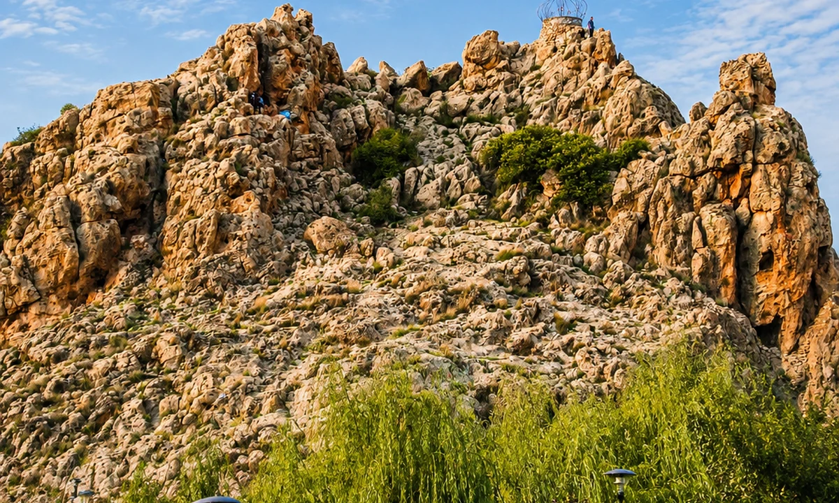 Cèdre Gouraud forest
 Barbary macaque habitat
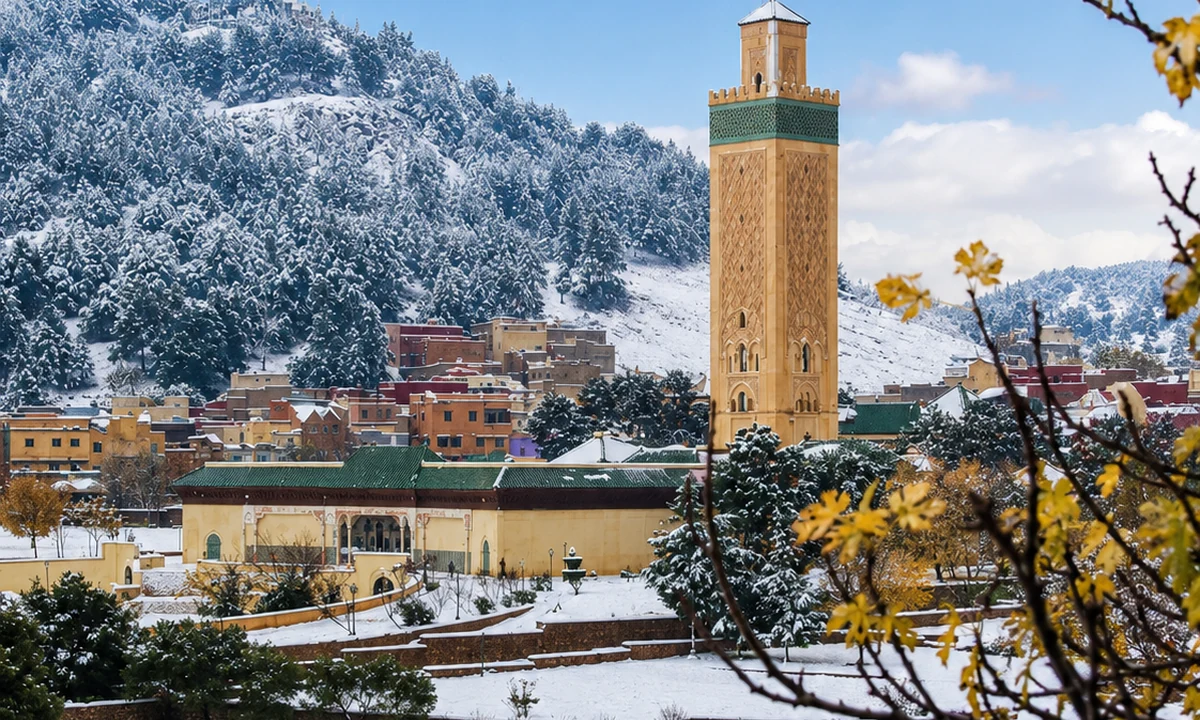 Middle Atlas cedar route
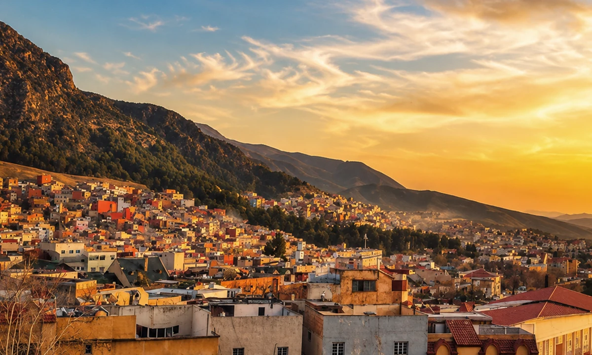 Azrou Amazigh market
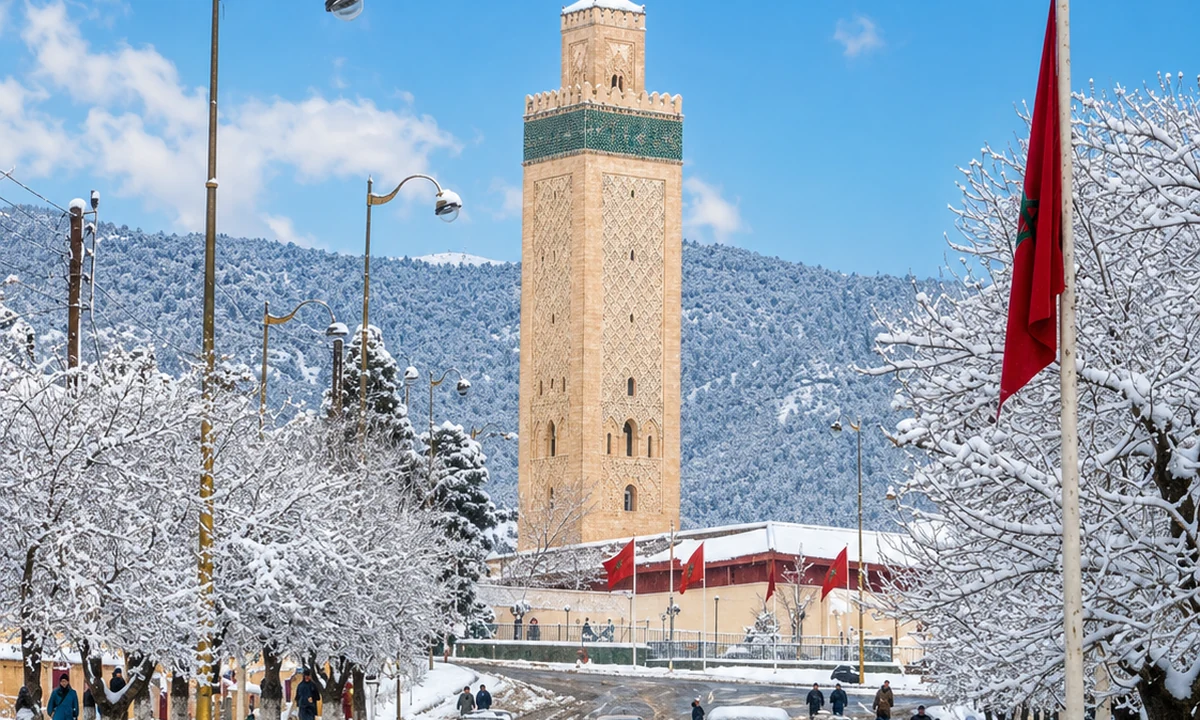 Ifrane route link
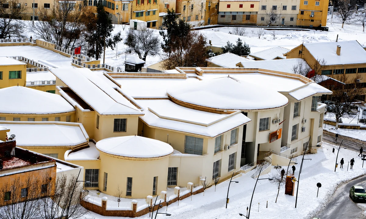 Cedar highlands
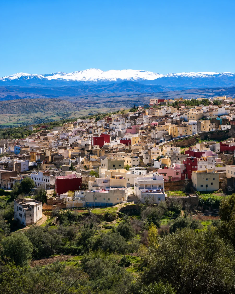 Sefrou
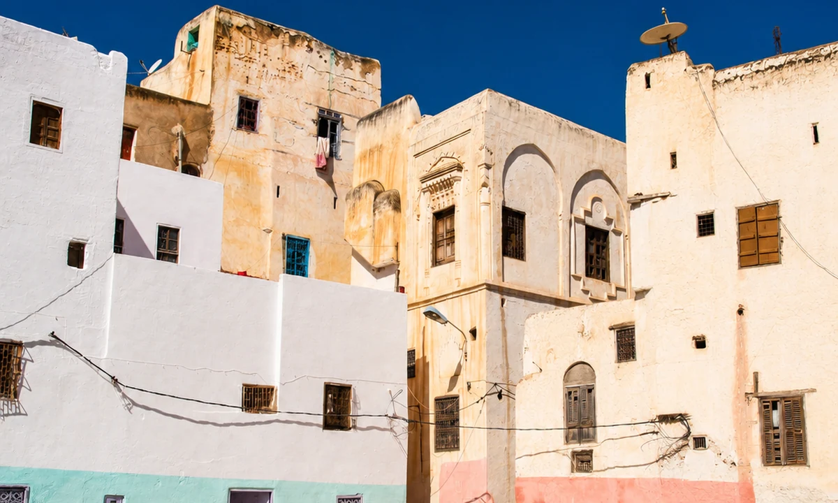 Sefrou Cherry Festival
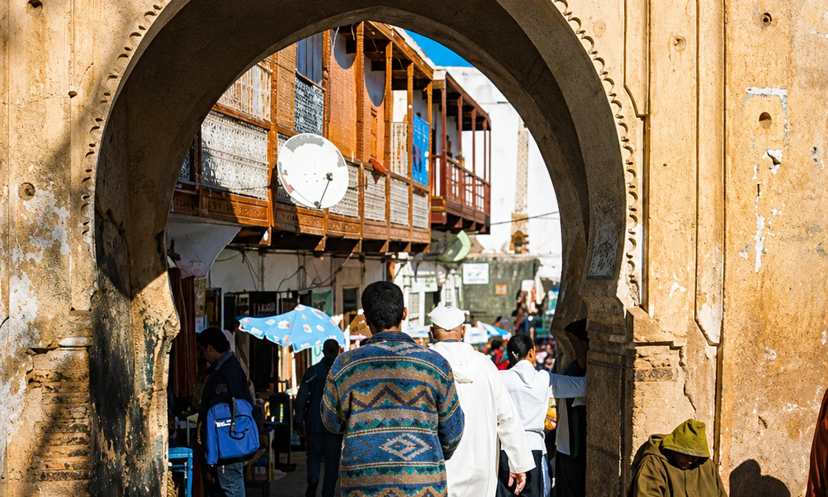 Sefrou medina
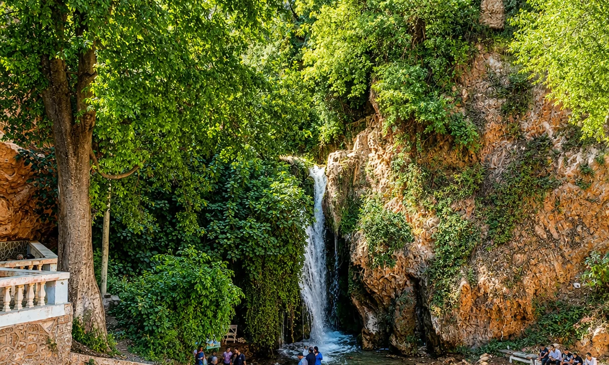
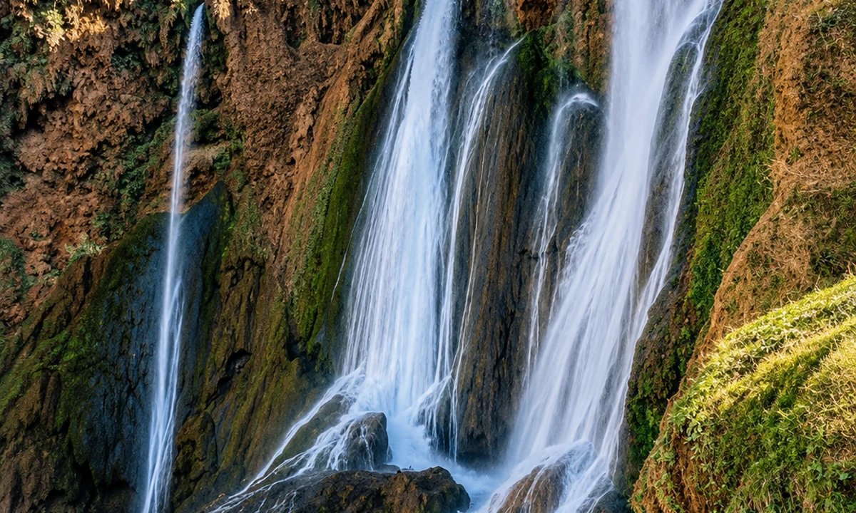 Sefrou waterfalls
 Bhalil cave houses
 Orchard country
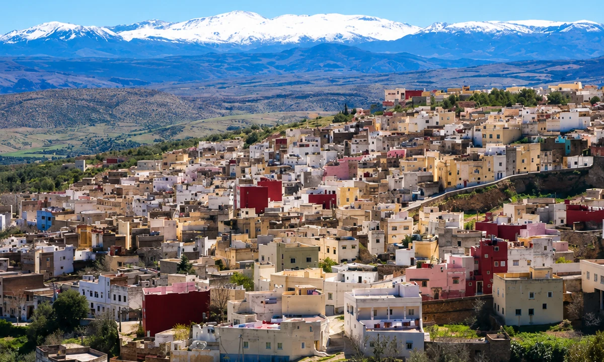 Middle Atlas foothills
Sefrou brings orchards, waterfalls and a UNESCO-listed cherry festival into the route.
The town is known for its annual Cherry Festival, old medina fabric, nearby waterfalls and its position on the edge of Middle Atlas foothills.
Nearby Bhalil adds cave-house architecture and a village connection close to Sefrou.
The town's orchard associations and festival culture are one part of a broader inhabited setting. Follow the medina, river and transition towards the foothills, then consider a separate visit to nearby Bhalil if time allows. A festival date is not a promise of flowering or harvest conditions throughout the area. Ordinary days deserve attention too: shops, small bridges and residential routes show how a place continues between celebrations. Ask before entering or photographing a domestic space.
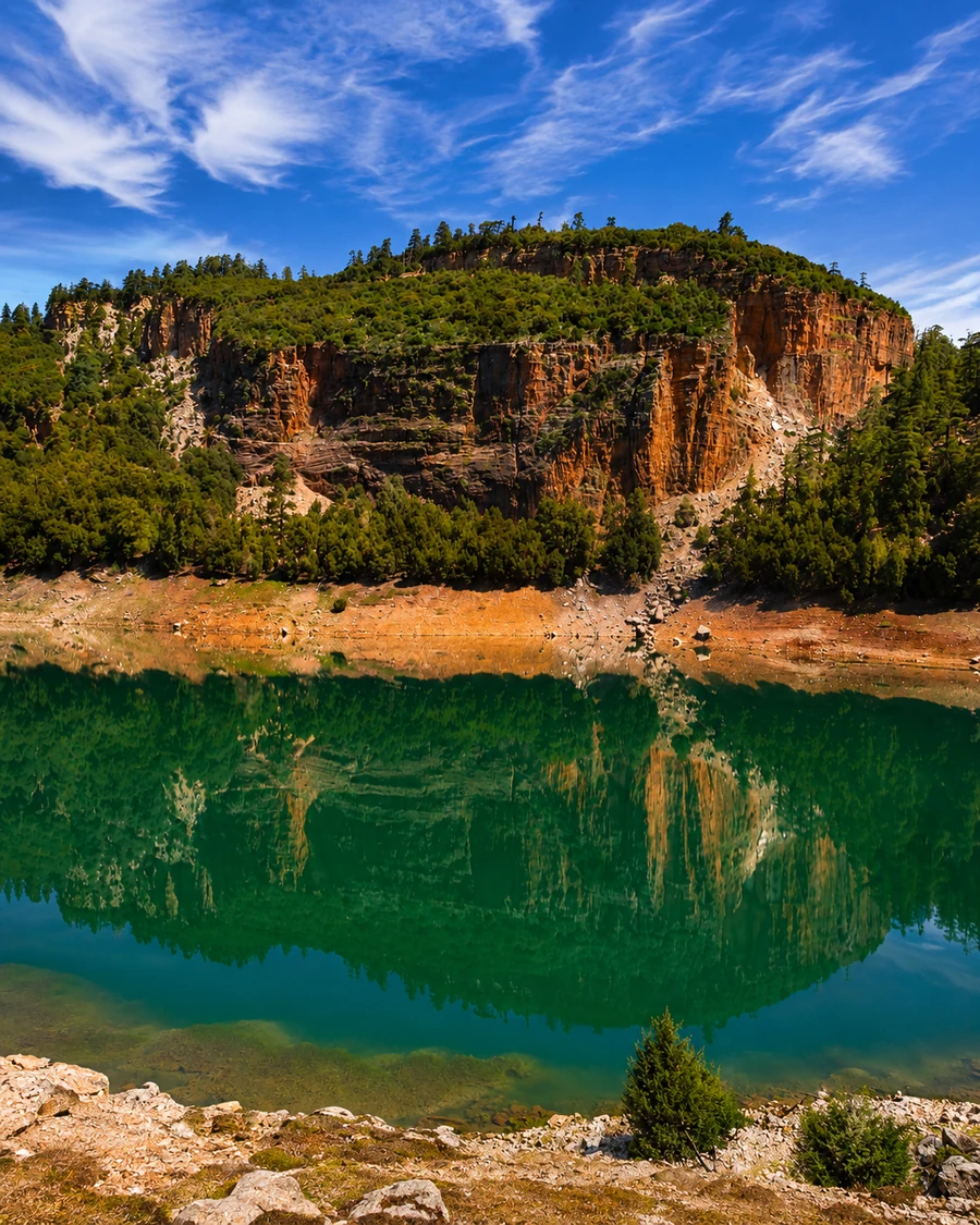
Khenifra anchors the deeper Middle Atlas with forests, lakes and Zayan heritage.
The surrounding province is associated with cedar forests, highland lakes and protected Middle Atlas landscapes.
It is a practical inland chapter for travelers looking beyond the better-known Fez and Ifrane routes.
Khenifra broadens the Atlas picture beyond its most visited towns. Start with the relationship between the town, the Oum Er-Rbia setting and surrounding routes before adding excursions to lakes or forests. A regional name cannot establish the condition of a particular trail or road. Confirm those details locally. Keep time for the town's own streets and markets, where the mountains appear through exchange and daily movement as well as through a distant ridgeline.
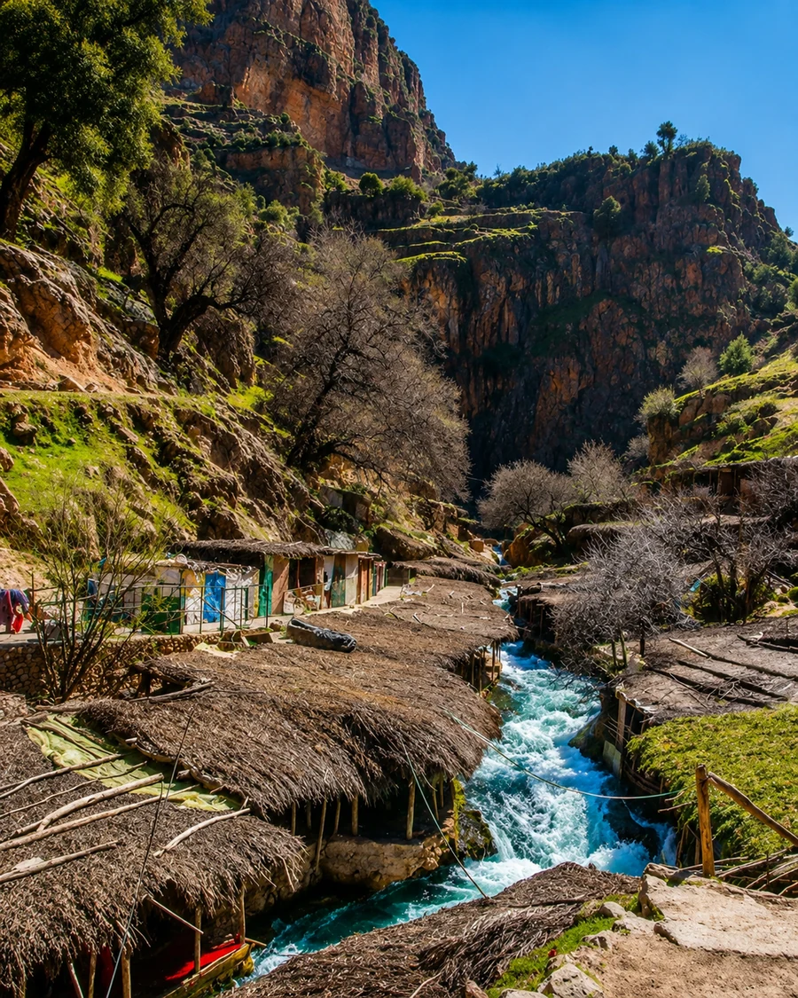 Khenifra
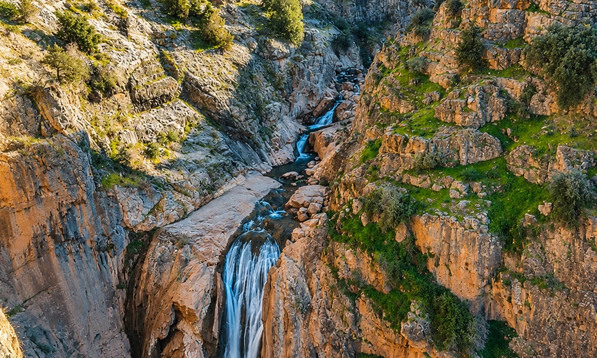 Khénifra National Park
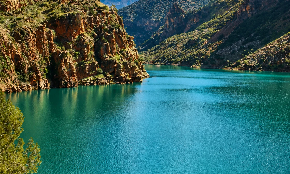 Aguelmame Azigza Lake
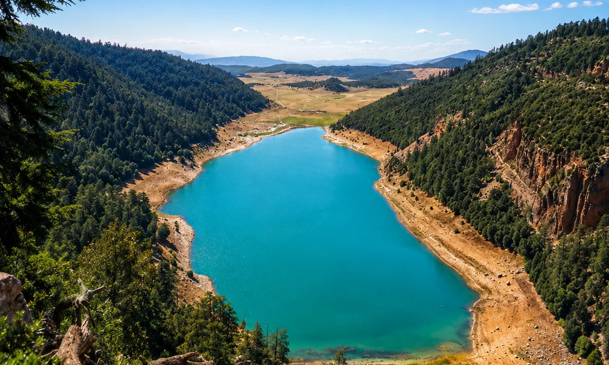 Aguelmame Sidi Ali Lake
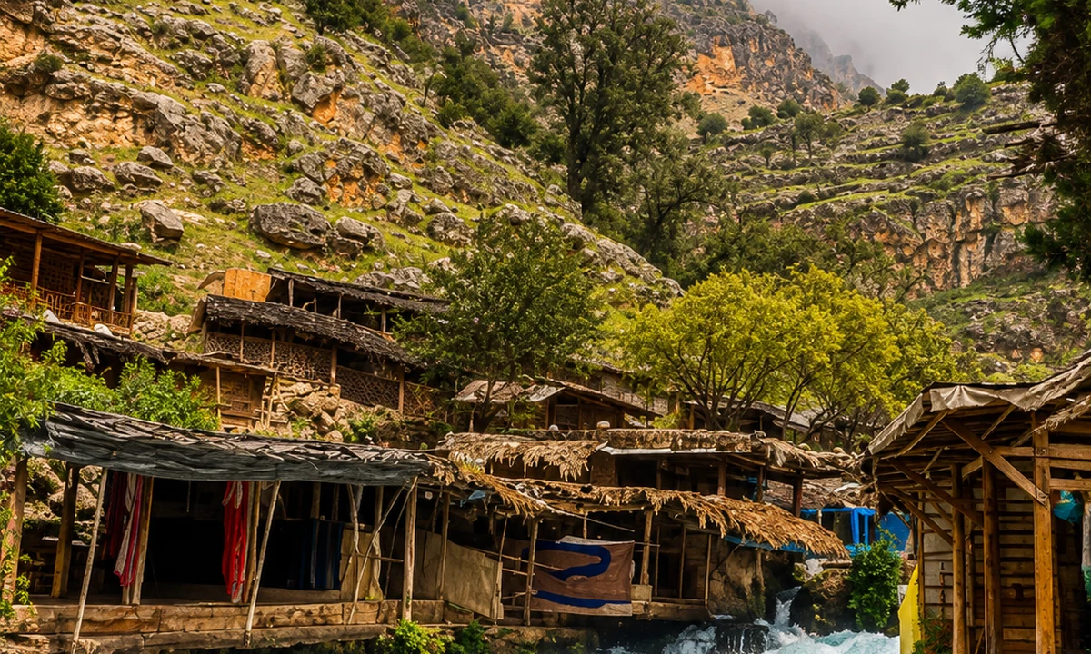 Cedar forests
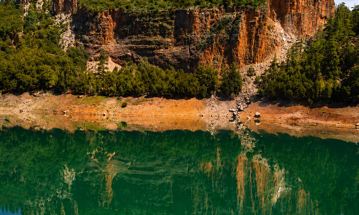 Middle Atlas wetlands
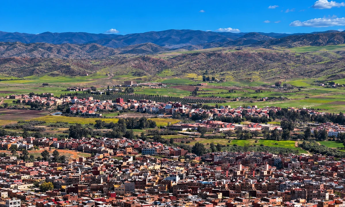 Zayan heritage
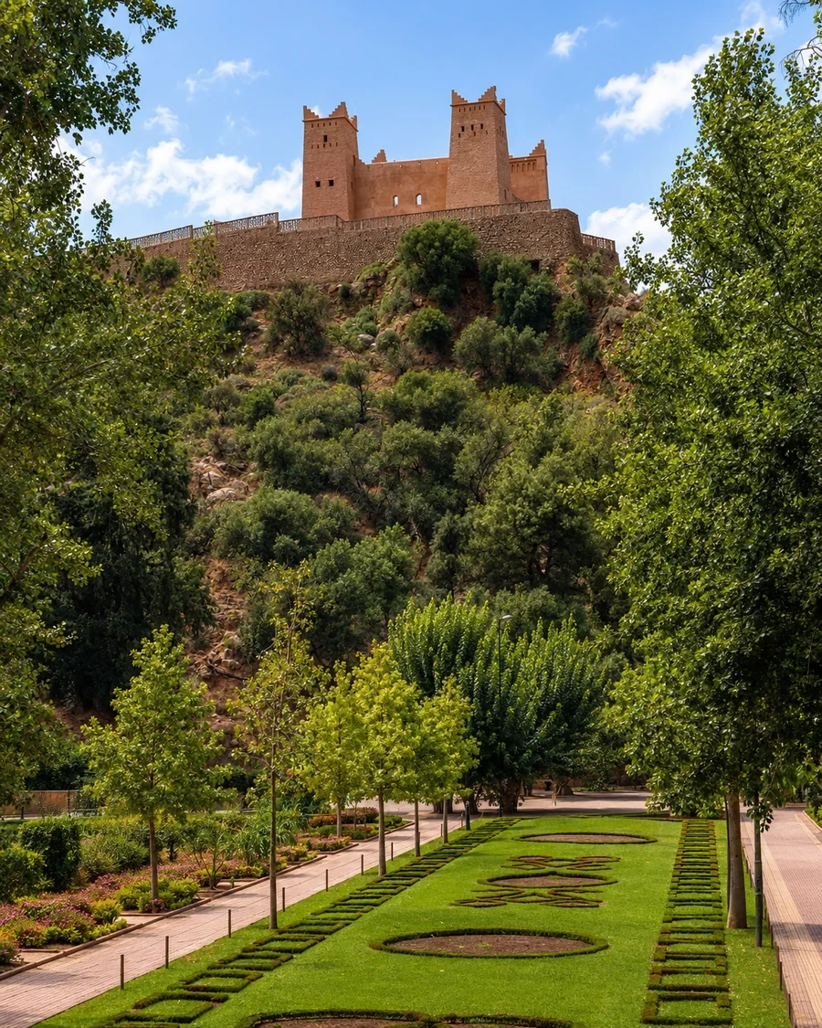 Beni Mellal
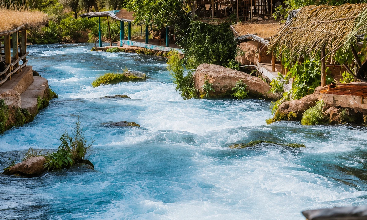 Ain Asserdoun
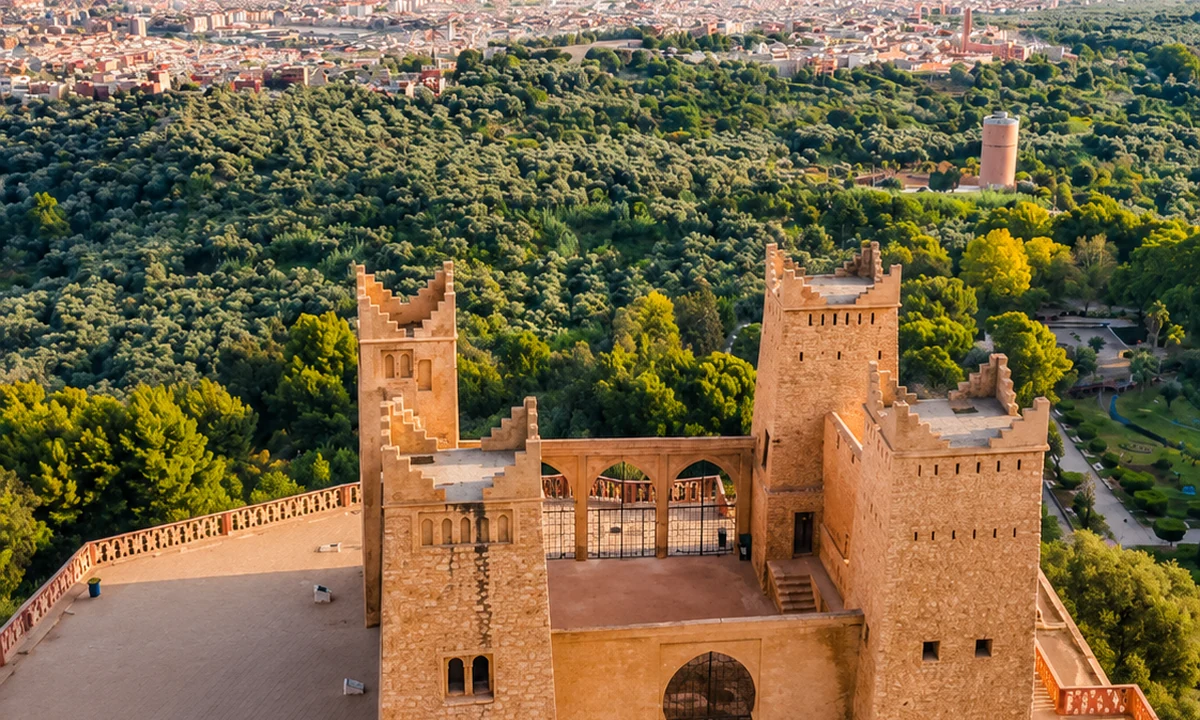 Kasbah Ras el-Ain
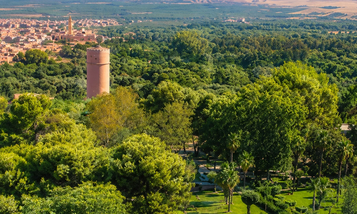 Tadla plain
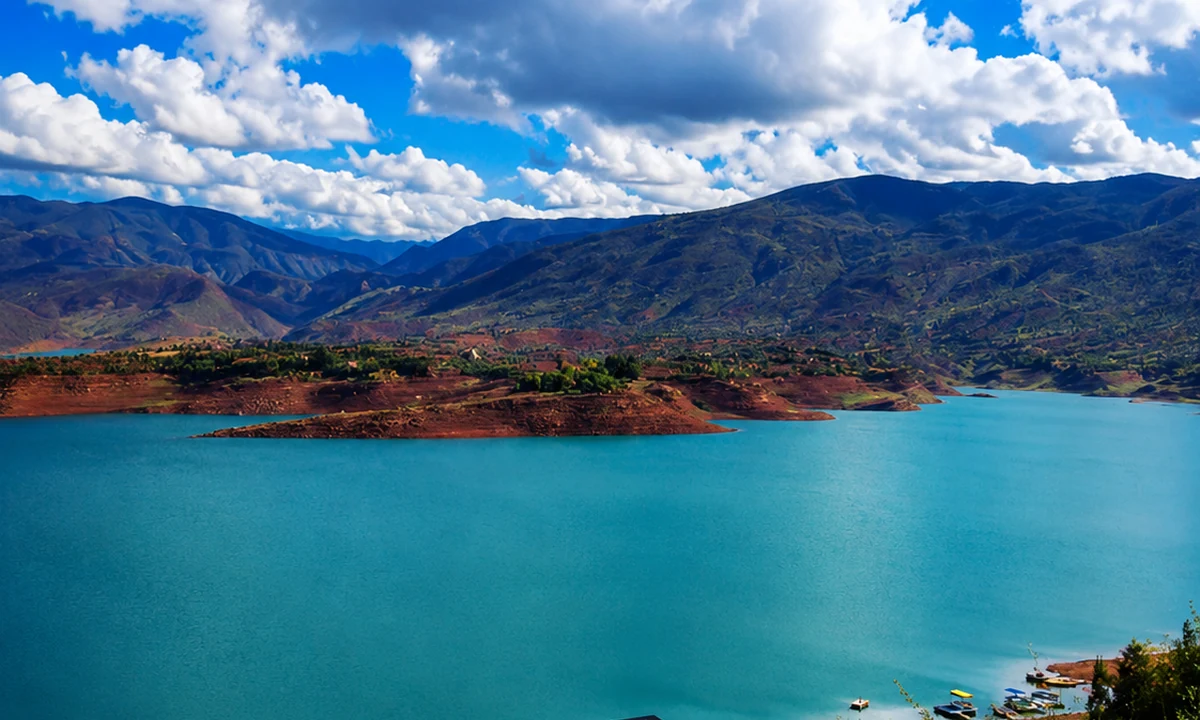
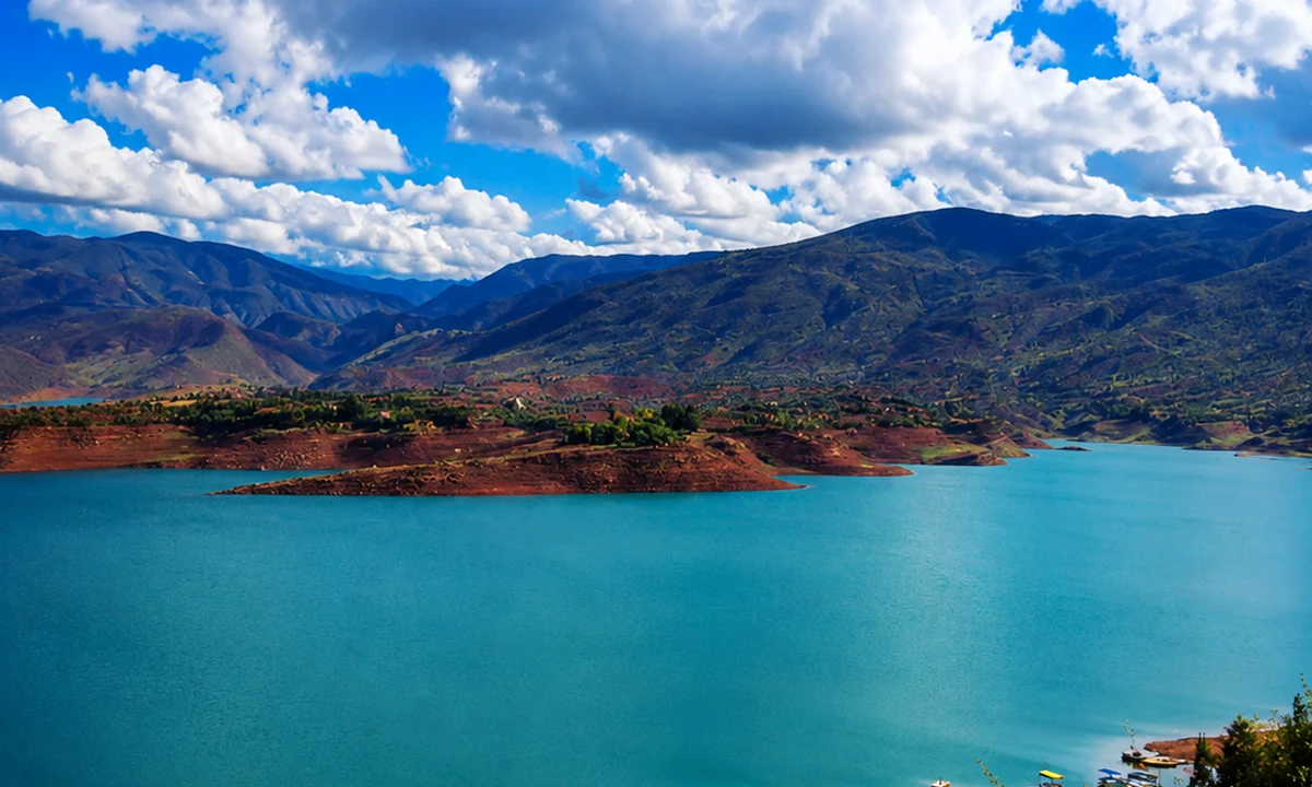
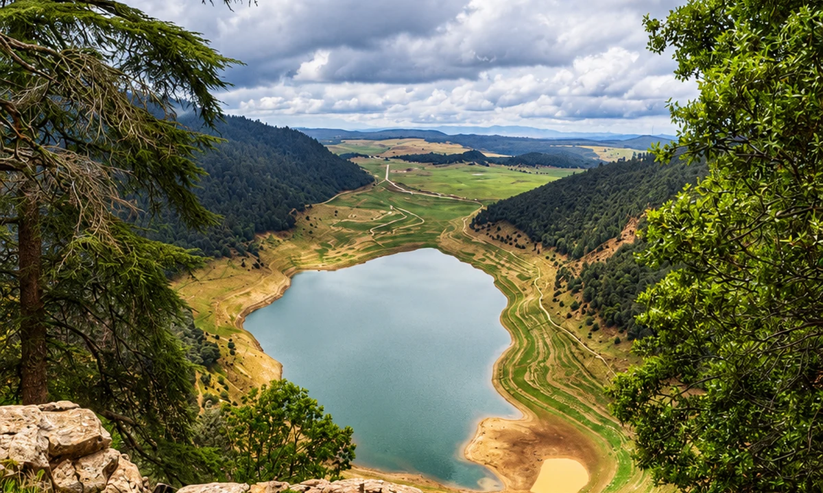 Bin El Ouidane lake
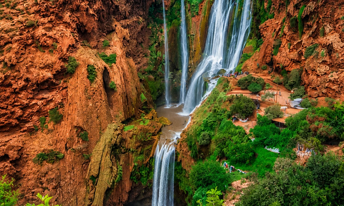 Ouzoud route link
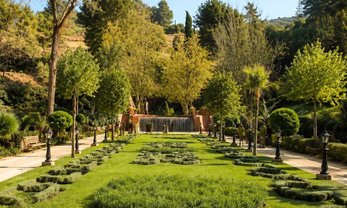 Atlas foothills
Beni Mellal stands where agricultural plains meet mountain routes.
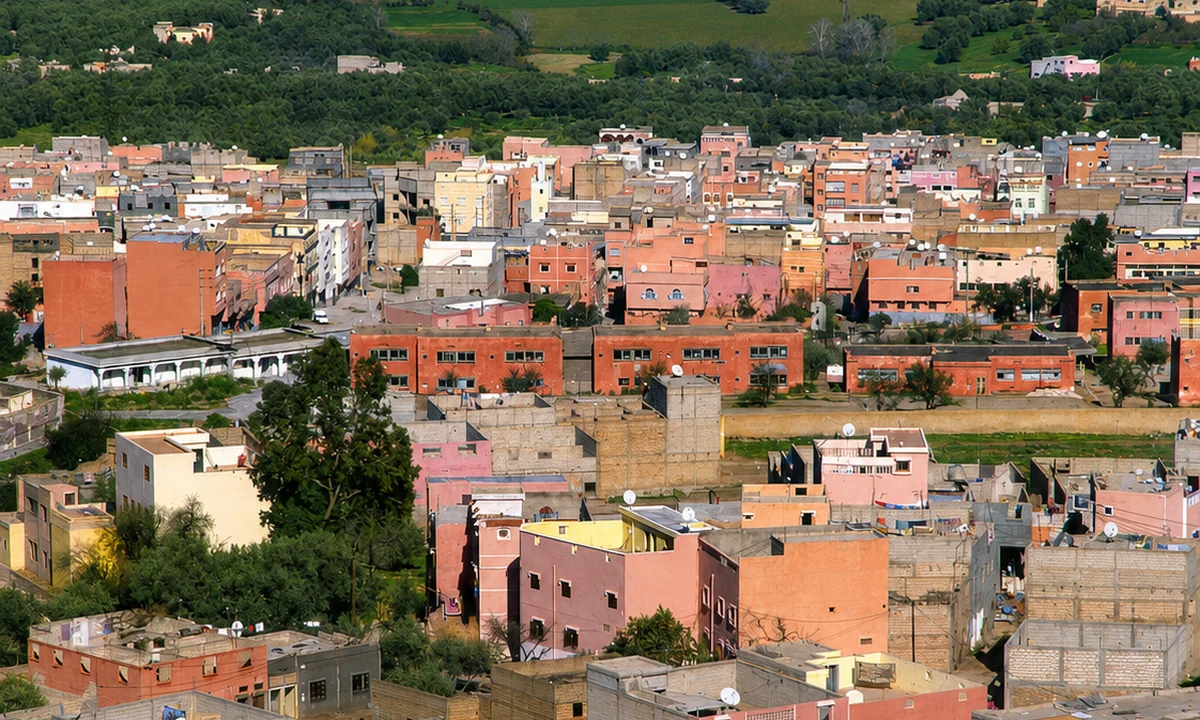
The city links Tadla plain agriculture, foothill views, Ain Asserdoun and routes toward Azilal, Ouzoud and Bin El Ouidane.
It is useful as an interior base between Casablanca-Settat, Marrakech routes and the central Atlas.
The foothill position makes water and elevation useful threads. Compare the agricultural plain with a view from higher ground, noticing how cultivation, streets and transport connect them. A spring visit, an urban walk and a trip towards the central High Atlas are different scales of experience. Give each its own time. Beni Mellal can orient a journey, but it should not become only a name passed through on the way to a waterfall photograph.
The area links Ouzoud Waterfalls, Ait Bouguemez, Bin El Ouidane, Imi n’Ifri and the M’Goun UNESCO Global Geopark.
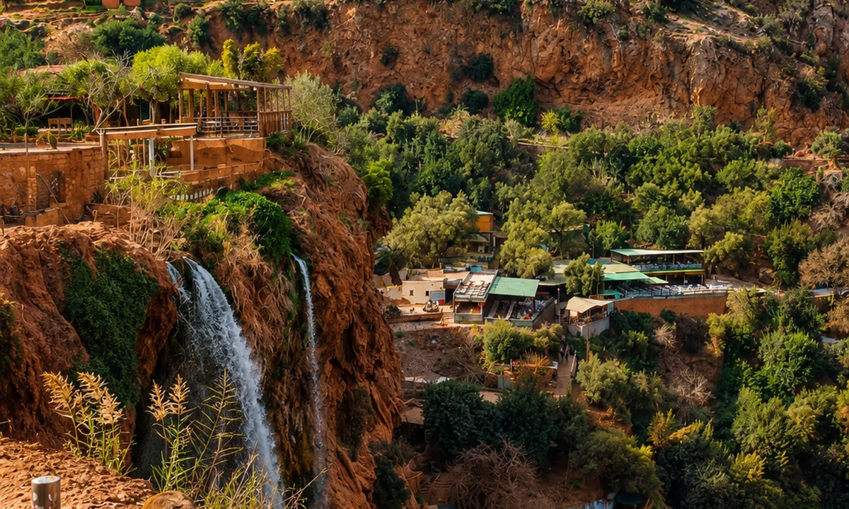
The M'Goun UNESCO Global Geopark connects geological interest with inhabited landscapes. Rock formations, valley agriculture and village routes can be read together, without treating one spectacular viewpoint as the whole area. Choose a manageable destination and ask for current local advice about access and guiding. Ouzoud, Bin el Ouidane and Aït Bouguemez are separate outings, not interchangeable stops on a short walk. Distances and relief matter more than the number of photographs on a page.
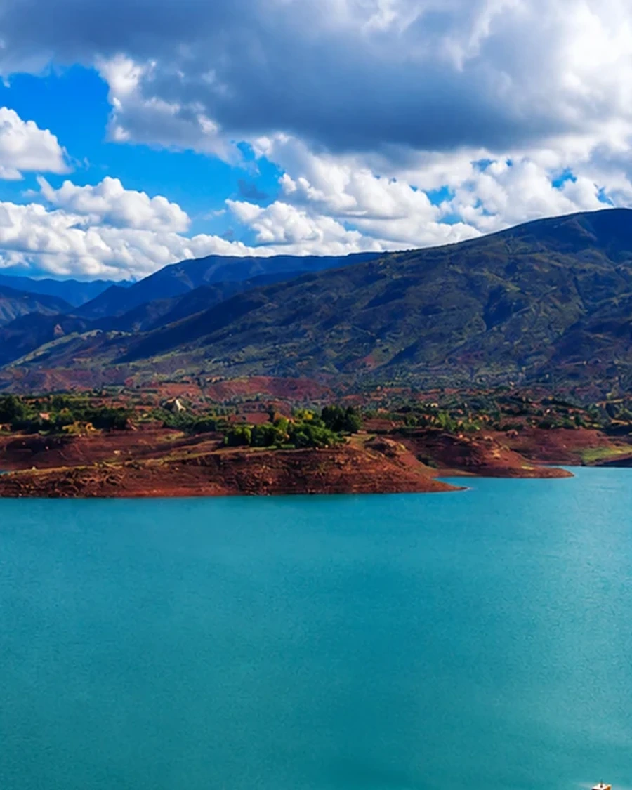 Azilal
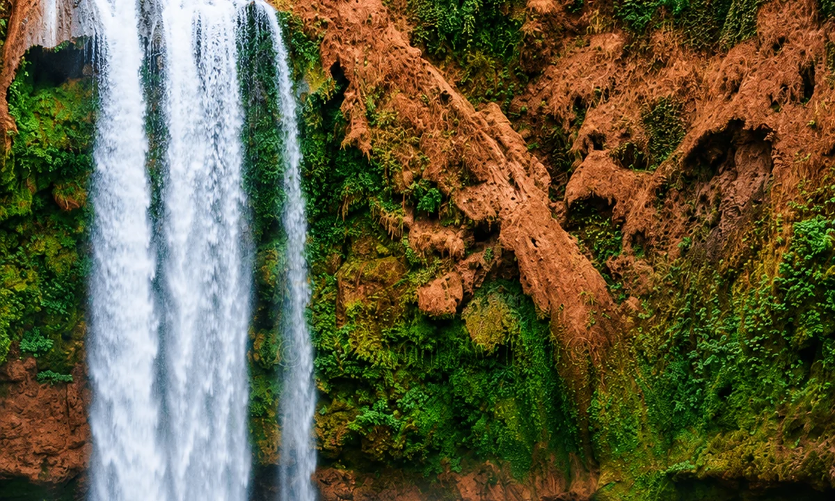 Ouzoud Waterfalls
 Aït Bouguemez Valley
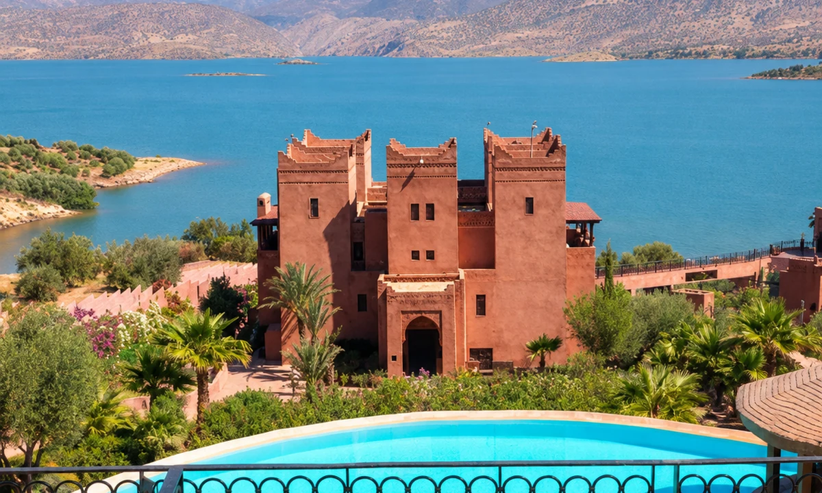 Bin El Ouidane lake
 Imi n’Ifri Natural Bridge
 M’Goun Geopark
 Zaouiat Ahansal and Taghia
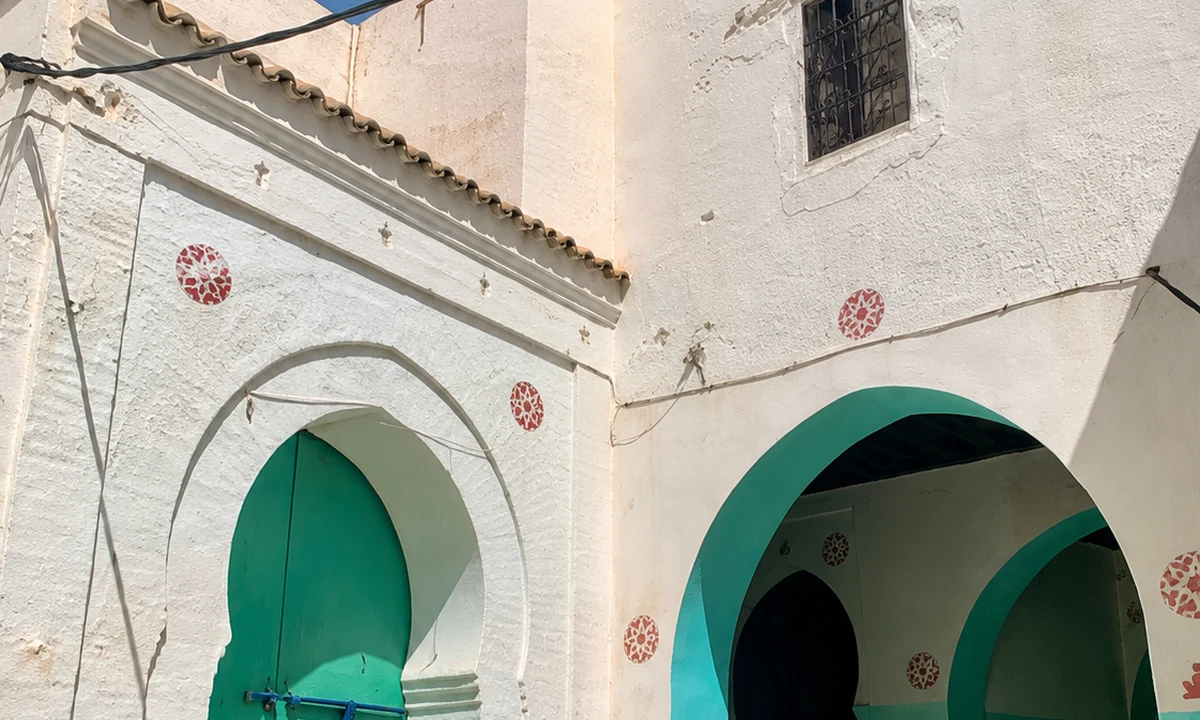
 Bejaad-Boujaad
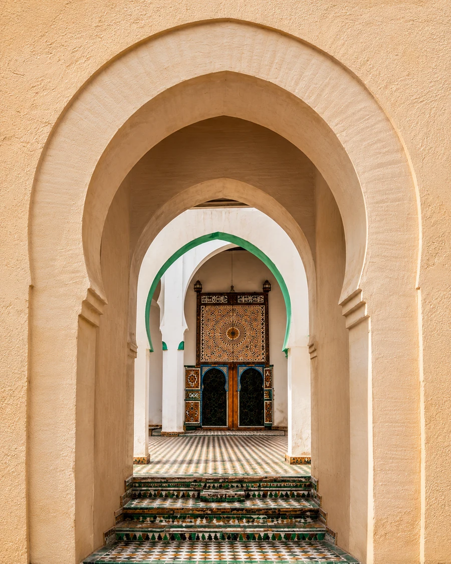
 Zaouia Cherkaouia
 Sidi Bouabid Cherki
 Bejaad medina
 Moussem route memory
 Boujaad textile identity
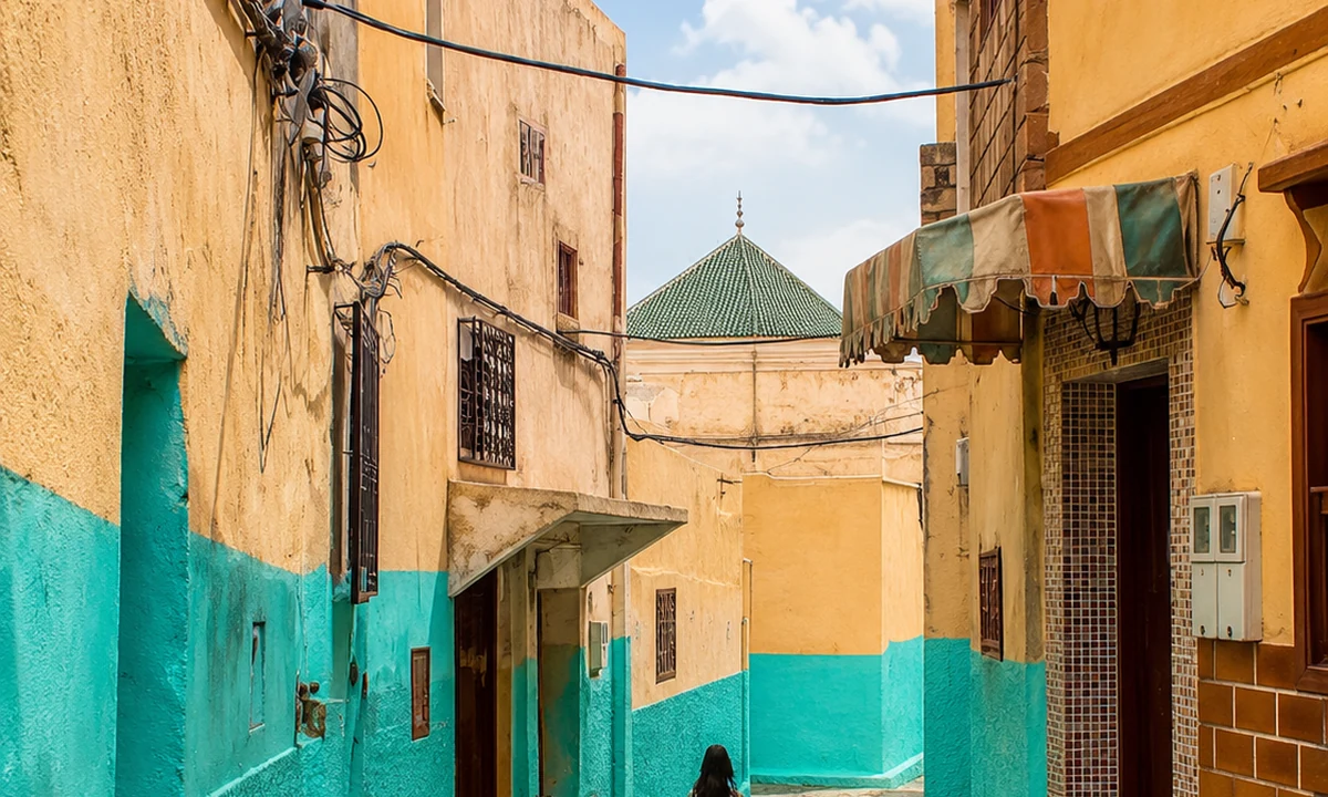 Khouribga route link
Bejaad, also written Boujaad, keeps the central plains connected to spiritual and textile heritage.
It works as a quieter interior link rather than a large tourist-city chapter.
The two spellings refer to the same town. Begin with its streets and locally explained heritage rather than assuming a rug sold under the Boujaad name documents one exact workshop or origin. Production and trade can extend beyond a place label. Ask about the particular textile, its fibre, construction and maker when known. That material conversation can complement the town's spiritual associations while leaving religious spaces and household boundaries respected.
The town is associated with pink granite landscapes, Ait Mansour Valley, Ameln Valley and routes through southern mountain villages.
Granite forms and the inhabited valleys around Tafraout offer a very different mountain setting from Middle Atlas forest country. Notice the relationship between settlement, cultivation and exposed rock rather than searching for one signature view. The Ameln Valley and Aït Mansour open distinct landscape conversations; allow time for the roads connecting them. Agricultural work and local access remain part of these views. Stay on appropriate paths and ask before entering a cultivated plot or domestic compound.
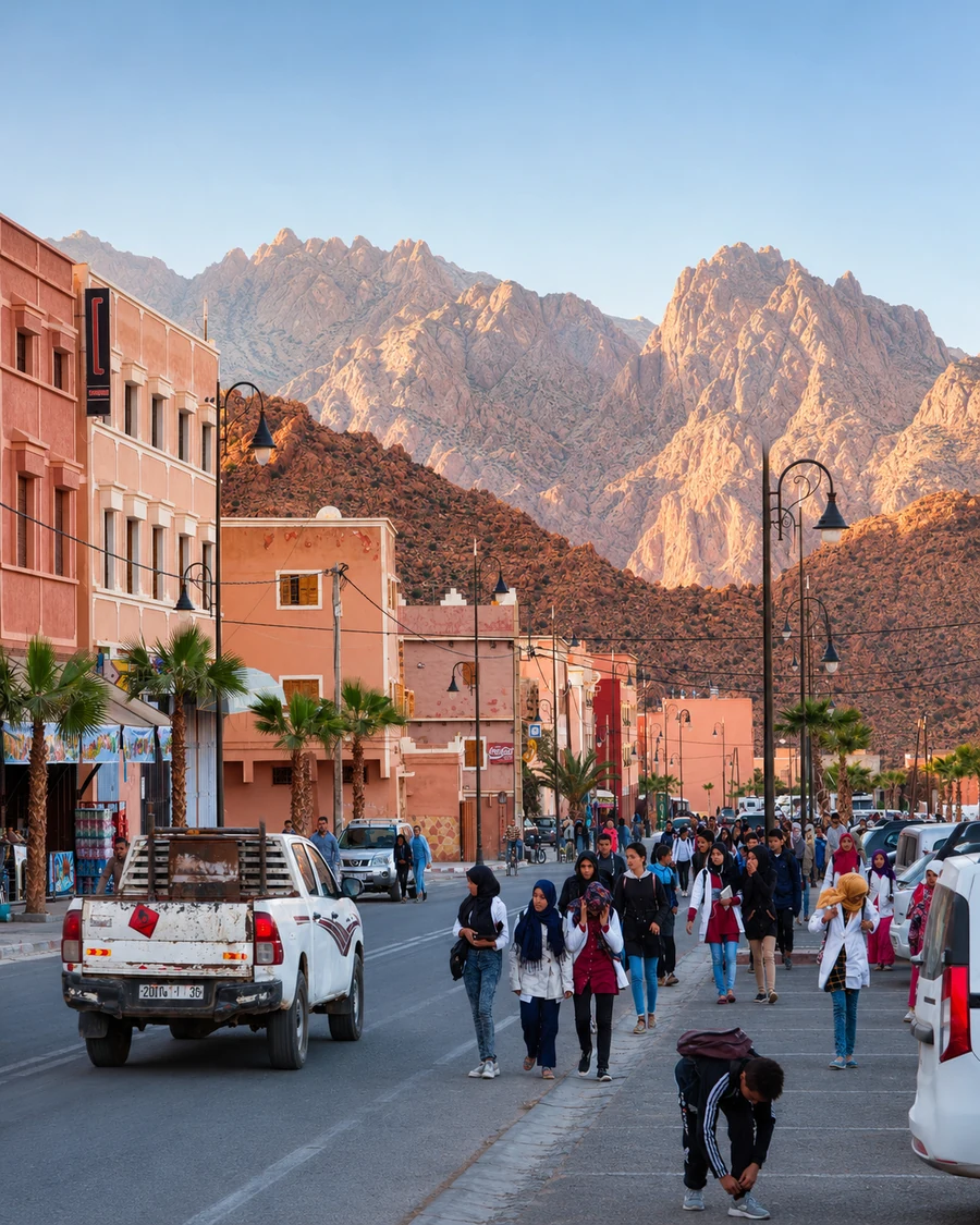 Tafraout
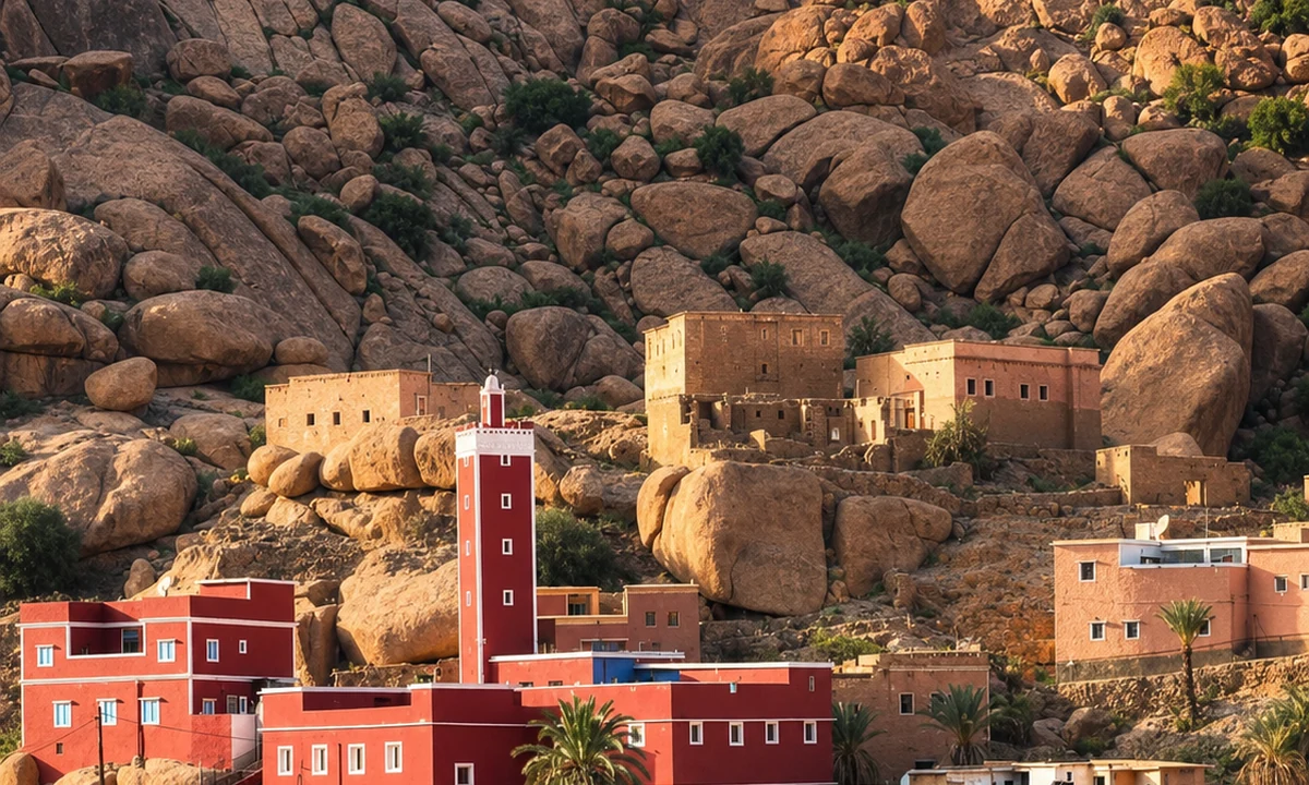 Anti-Atlas granite landscapes
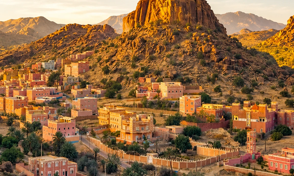 Ait Mansour Valley
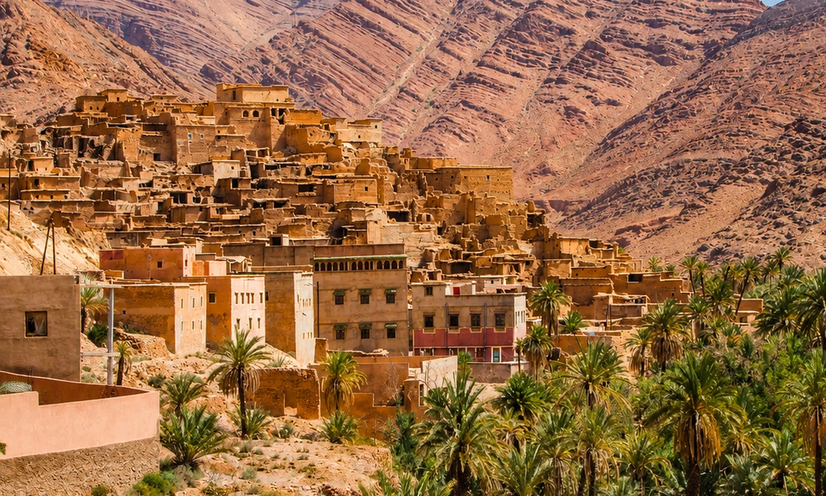 Ameln Valley
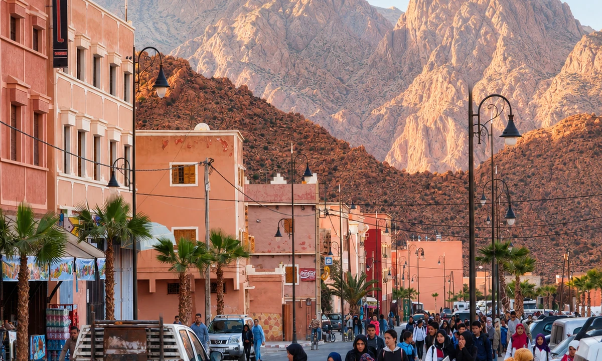 Jbel Lkest
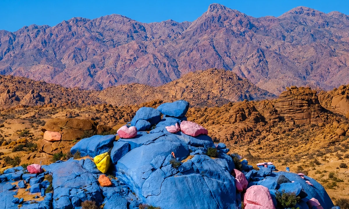 Painted Rocks
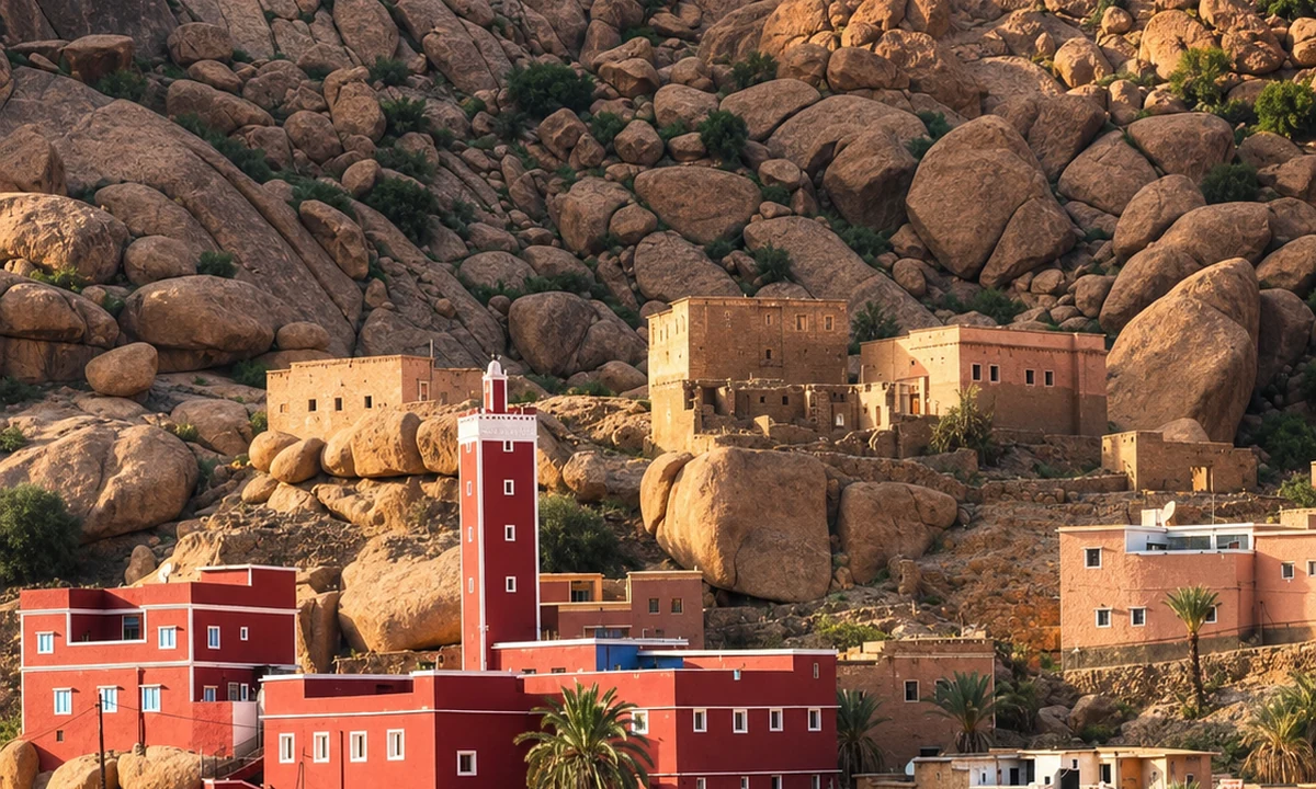 Almond and argan landscapes
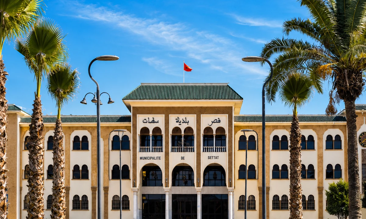
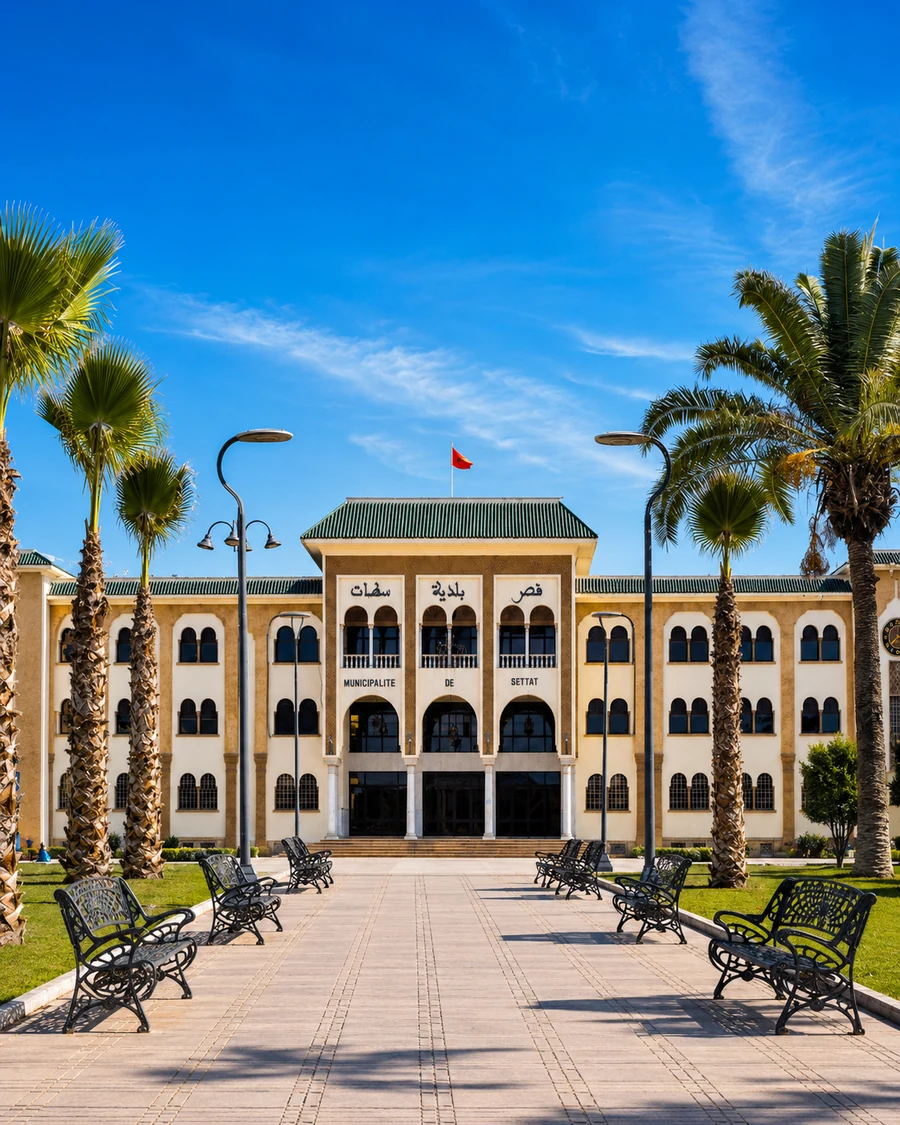 Settat
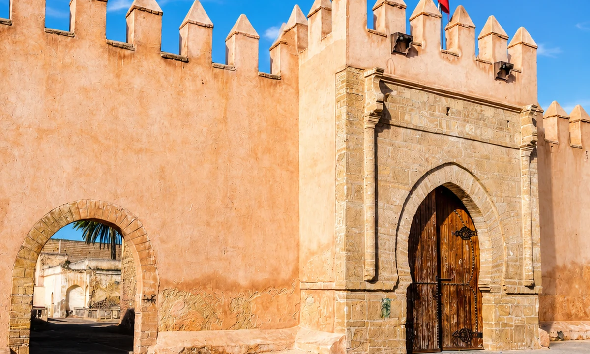
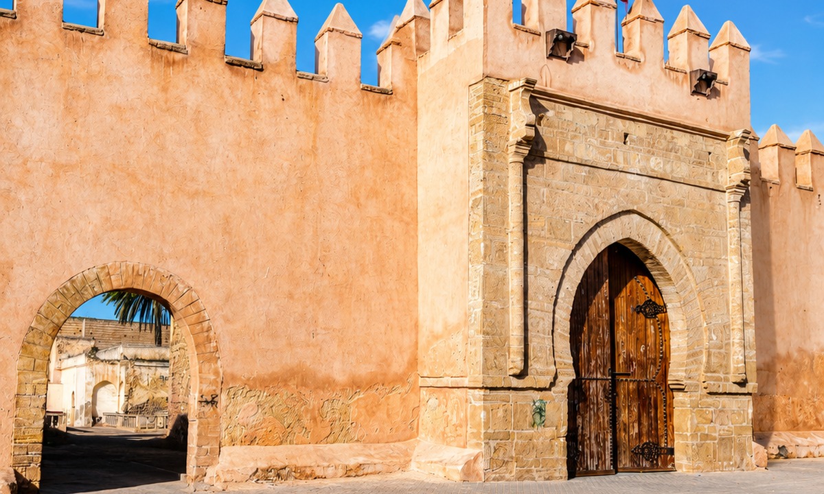 Kasbah Ismailia
 Great Mosque of Settat
 Mzamza Forest
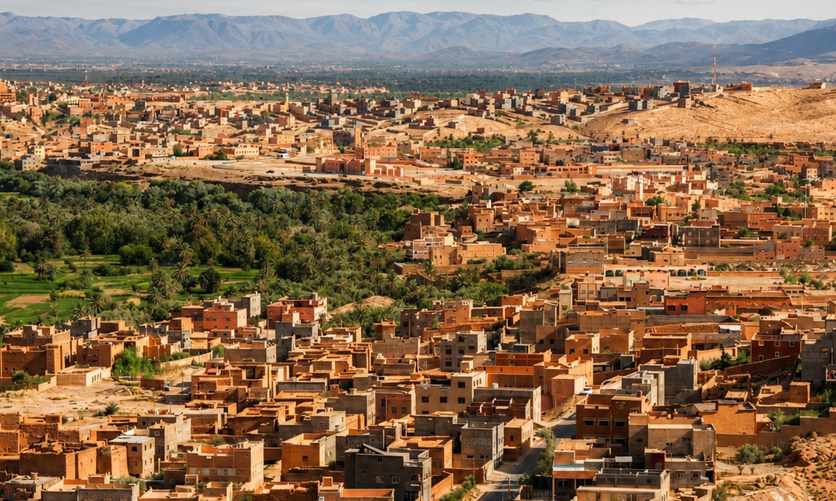 Chaouia agricultural plain
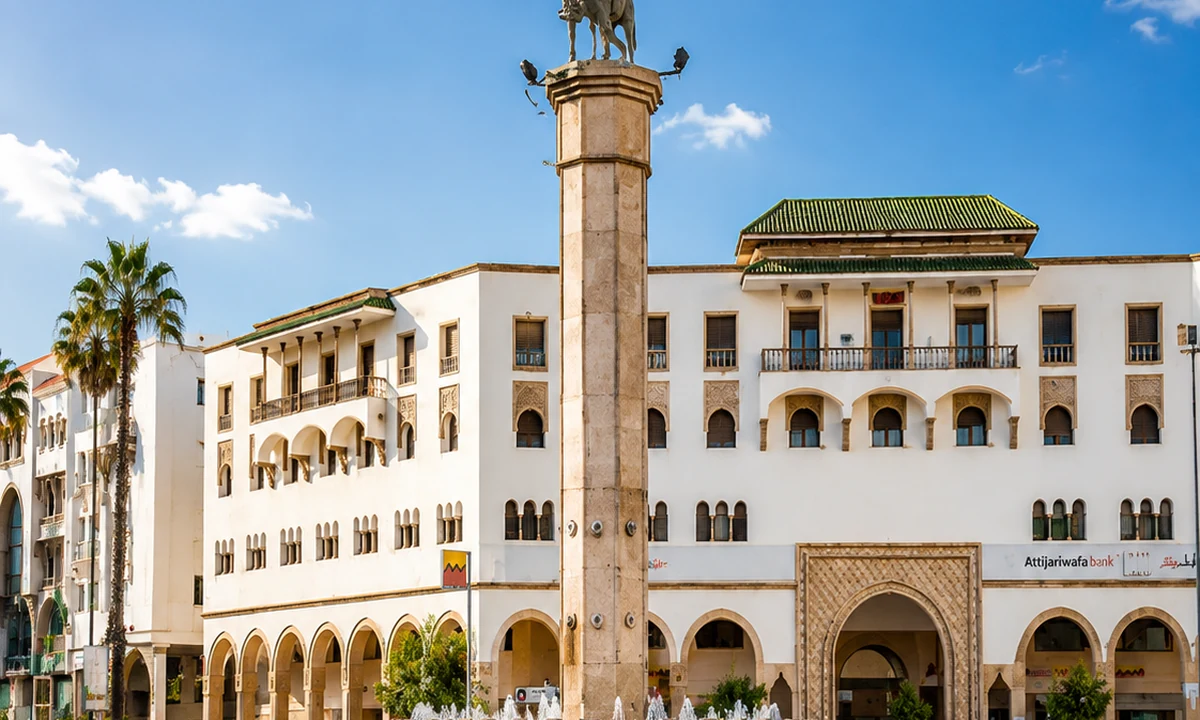
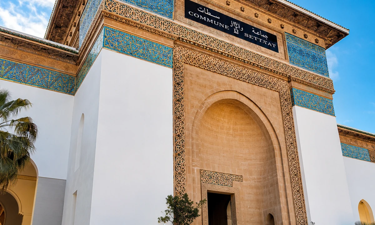 Art Deco and Moorish details
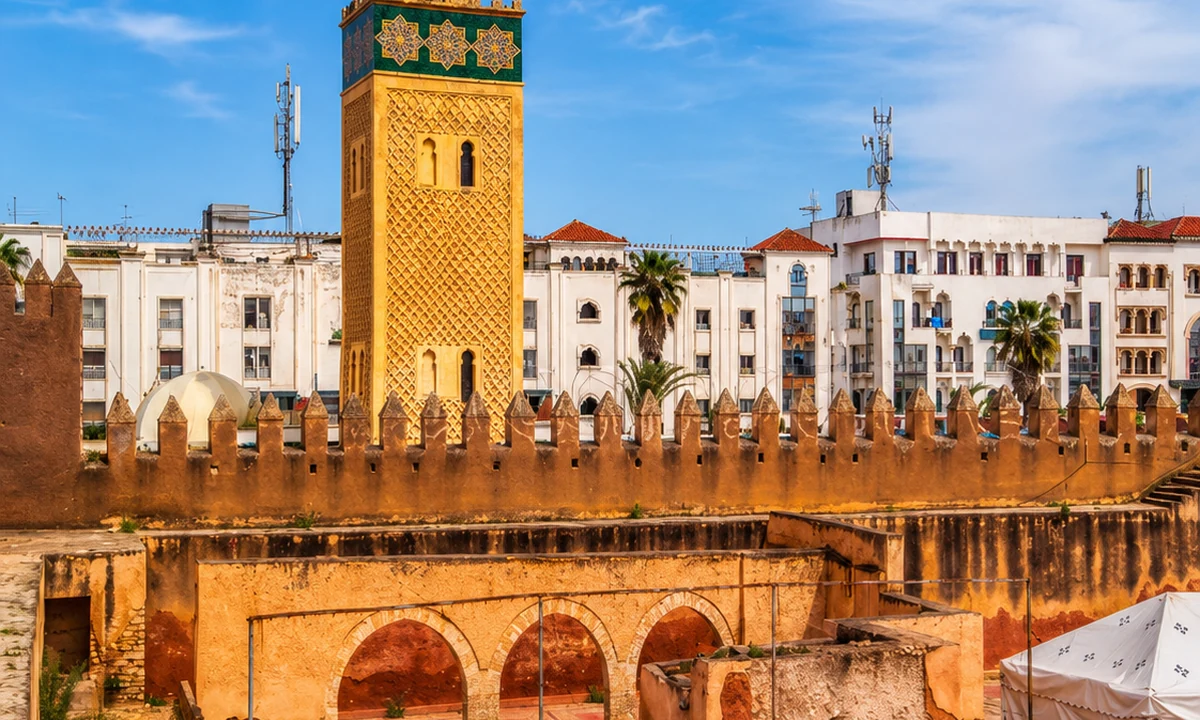 Casablanca-Marrakech corridor
Settat closes the plan as an inland plain city linked to Casablanca-Settat and Chaouia agriculture.
It functions as the corridor link between Atlantic urban Morocco and the interior plain.
Settat makes the lowland connection visible. Agricultural plains, urban services and routes towards Casablanca belong in the same regional picture as high valleys and forests. Its place in this collection is relational: mountain and interior journeys do not begin and end at the foot of a slope. A city walk can help reveal that wider economy. Use local information to identify public heritage stops rather than treating every named institution as an attraction open on demand.
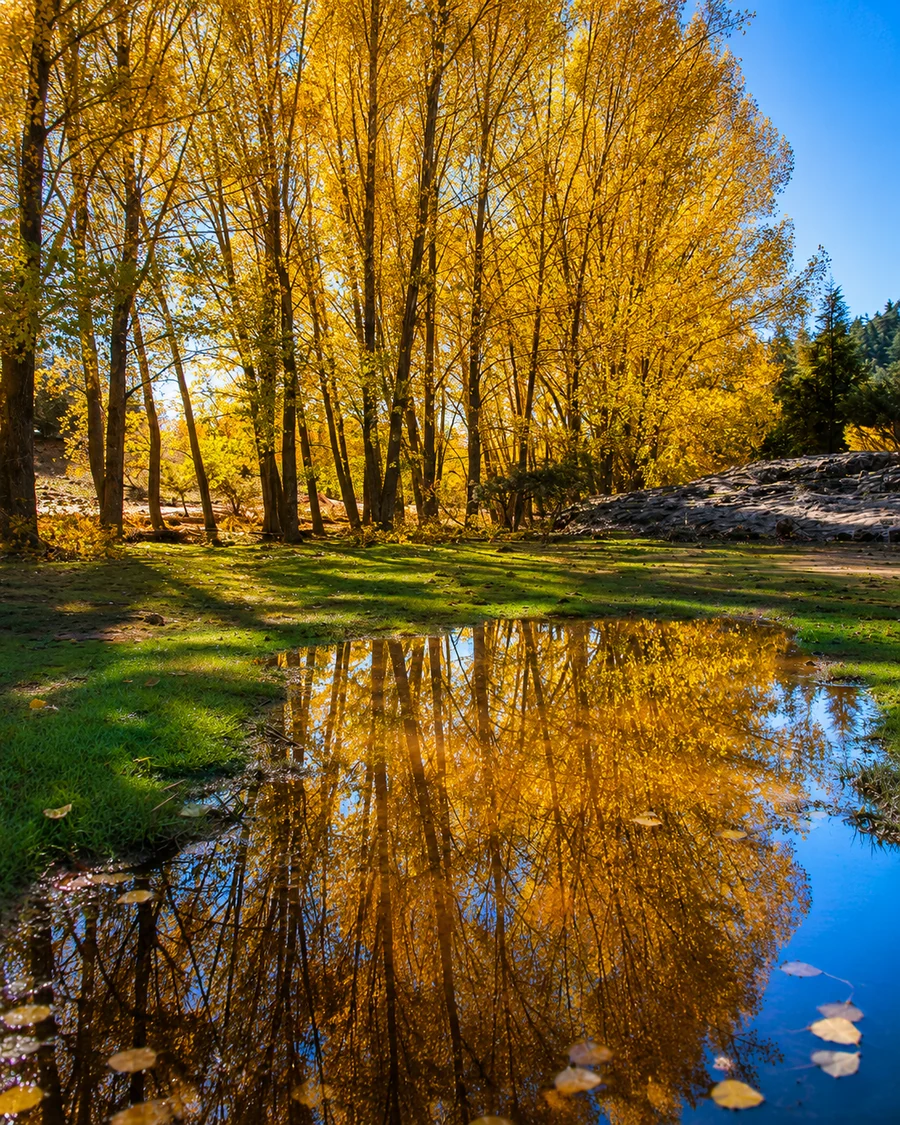 Middle Atlas cedar forests
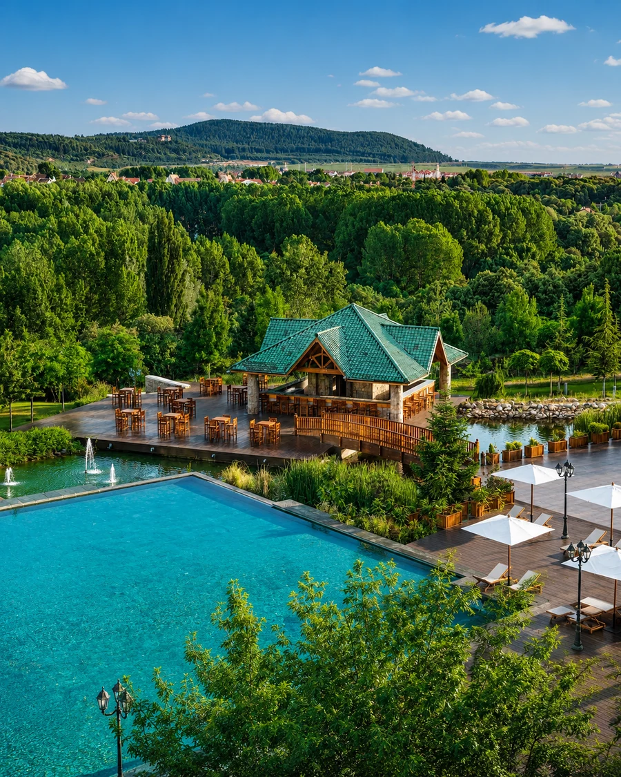 Ifrane lakes
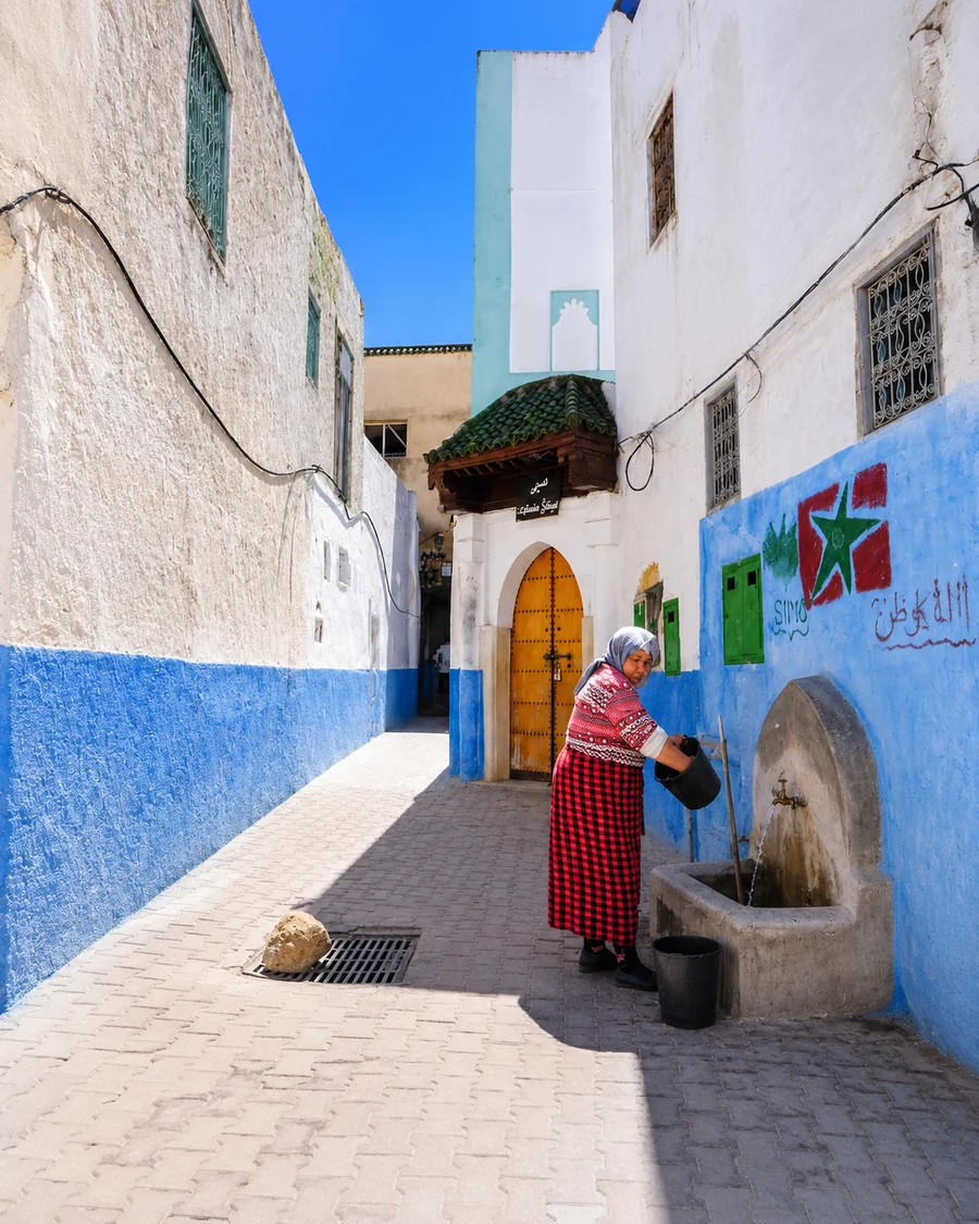
 Azrou market route
 Sefrou orchards
 Sefrou waterfalls
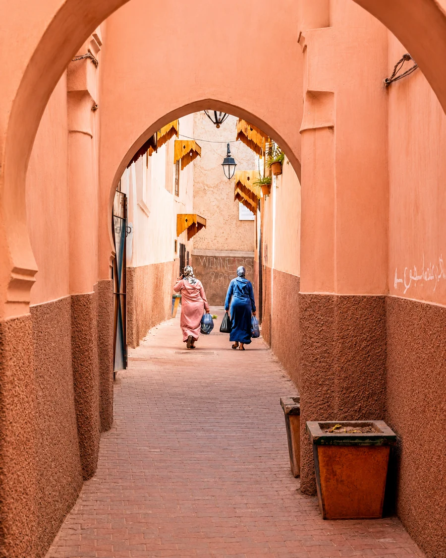 Bhalil cave houses
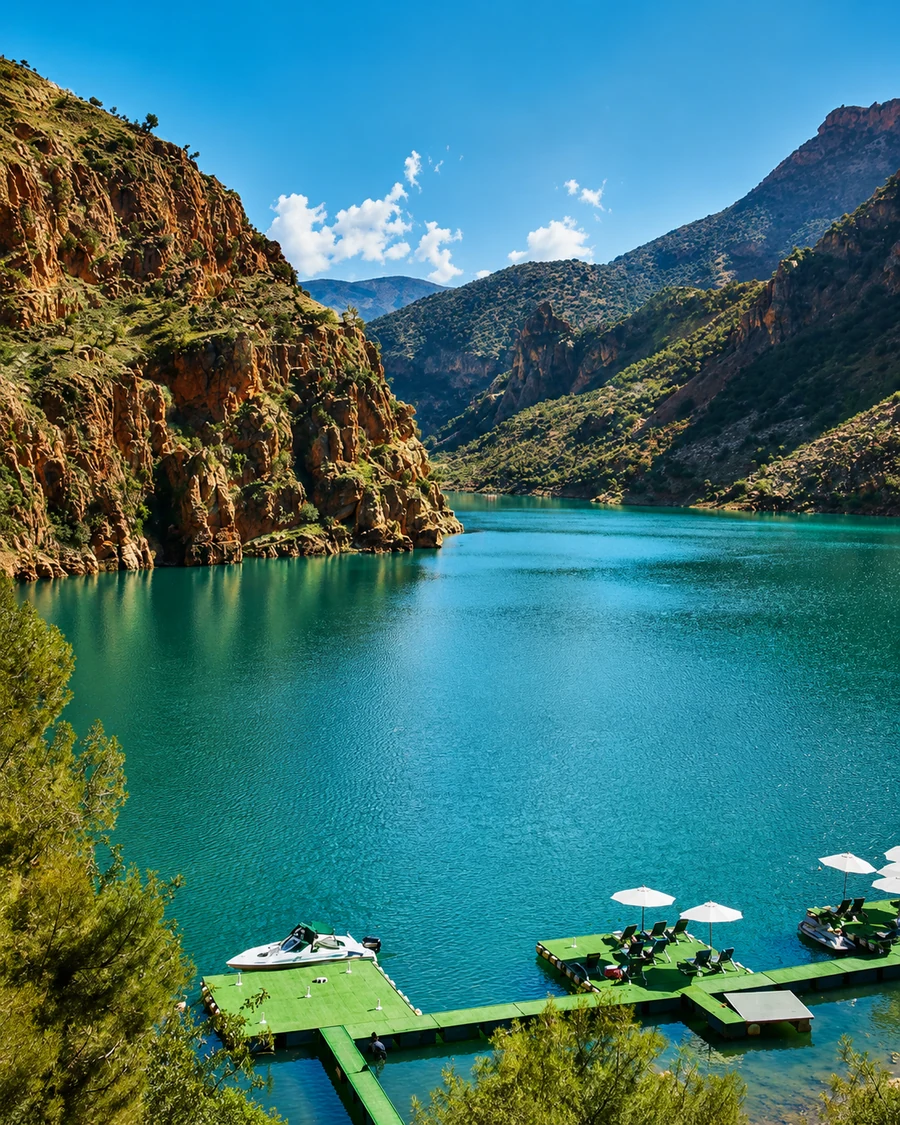 Khénifra highland lakes
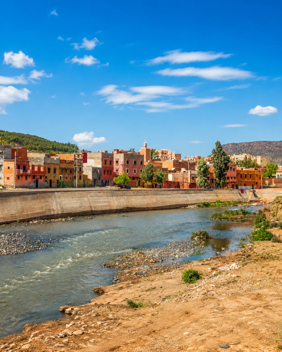 Zayan highlands
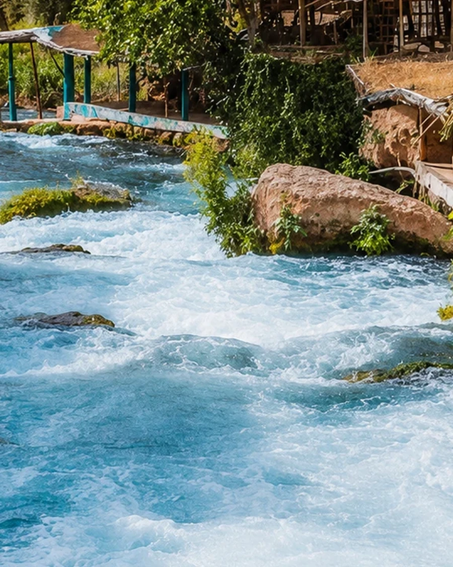 Ain Asserdoun
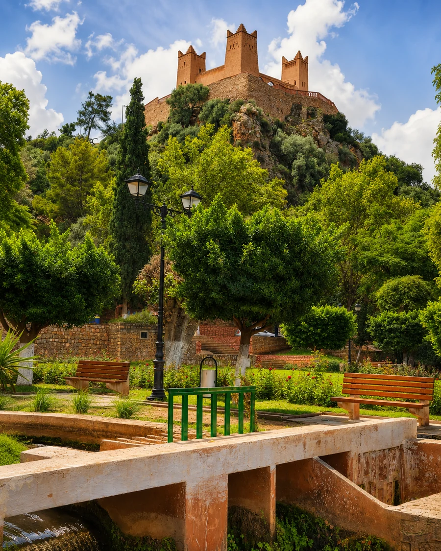 Tadla plain
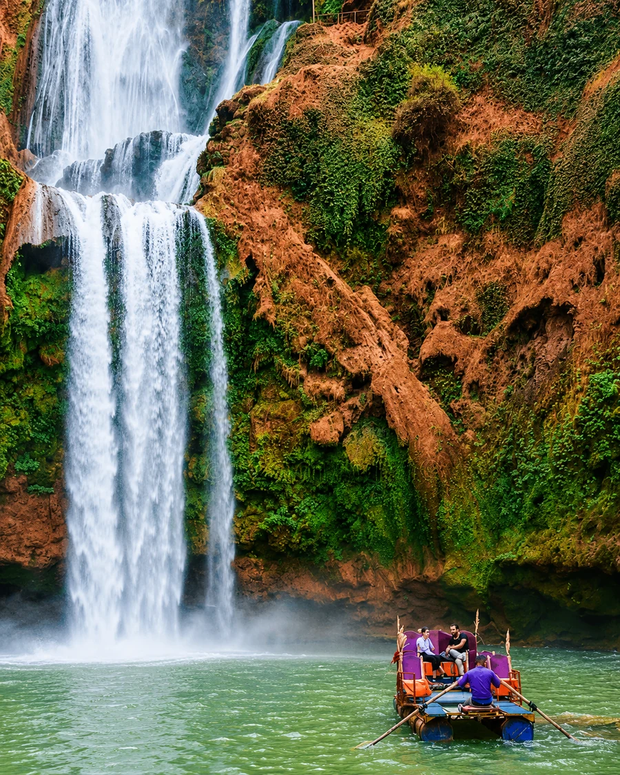 Ouzoud Waterfalls
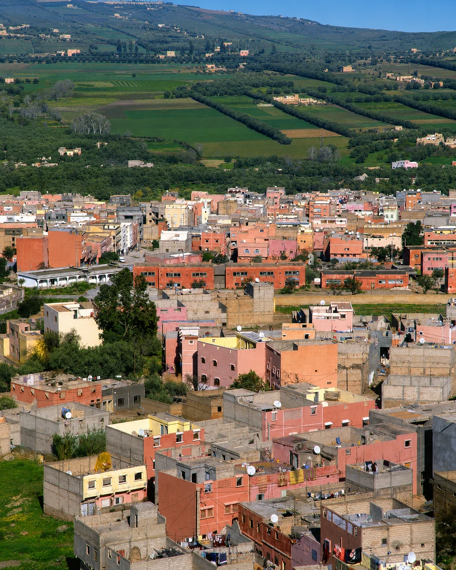 Aït Bouguemez Valley
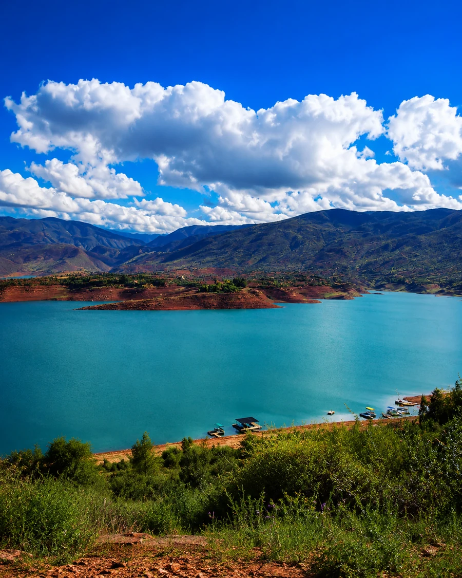 Bin El Ouidane lake
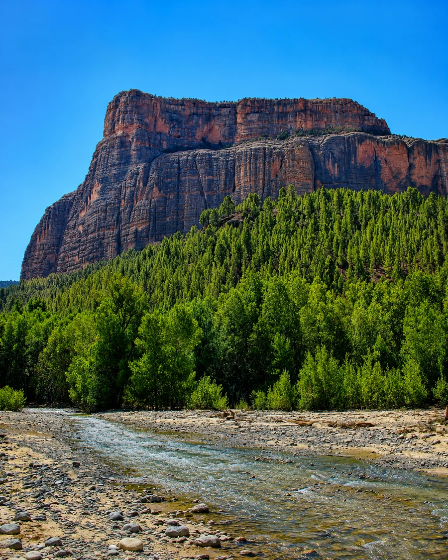 M’Goun Geopark
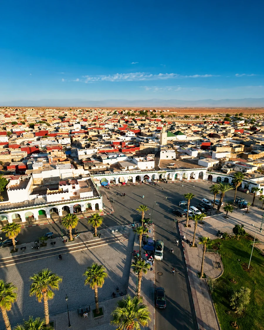 Zaouia Cherkaouia
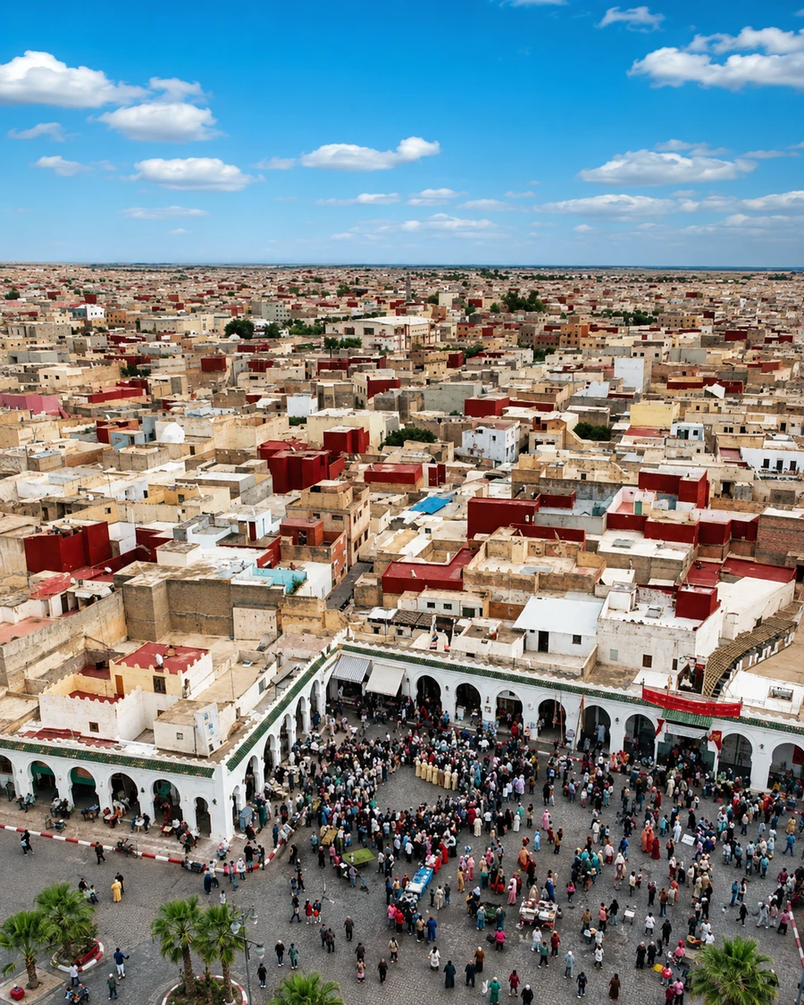 Boujaad textile identity
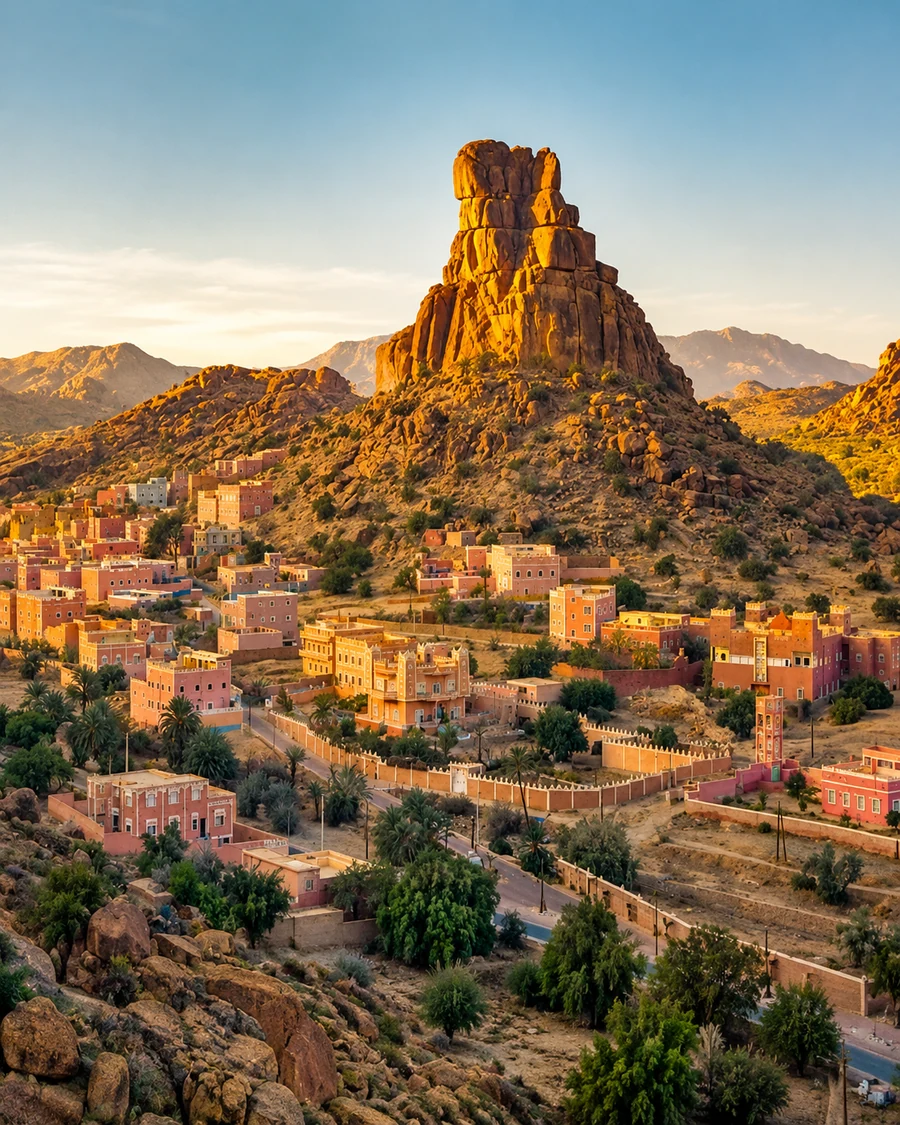 Ait Mansour Valley
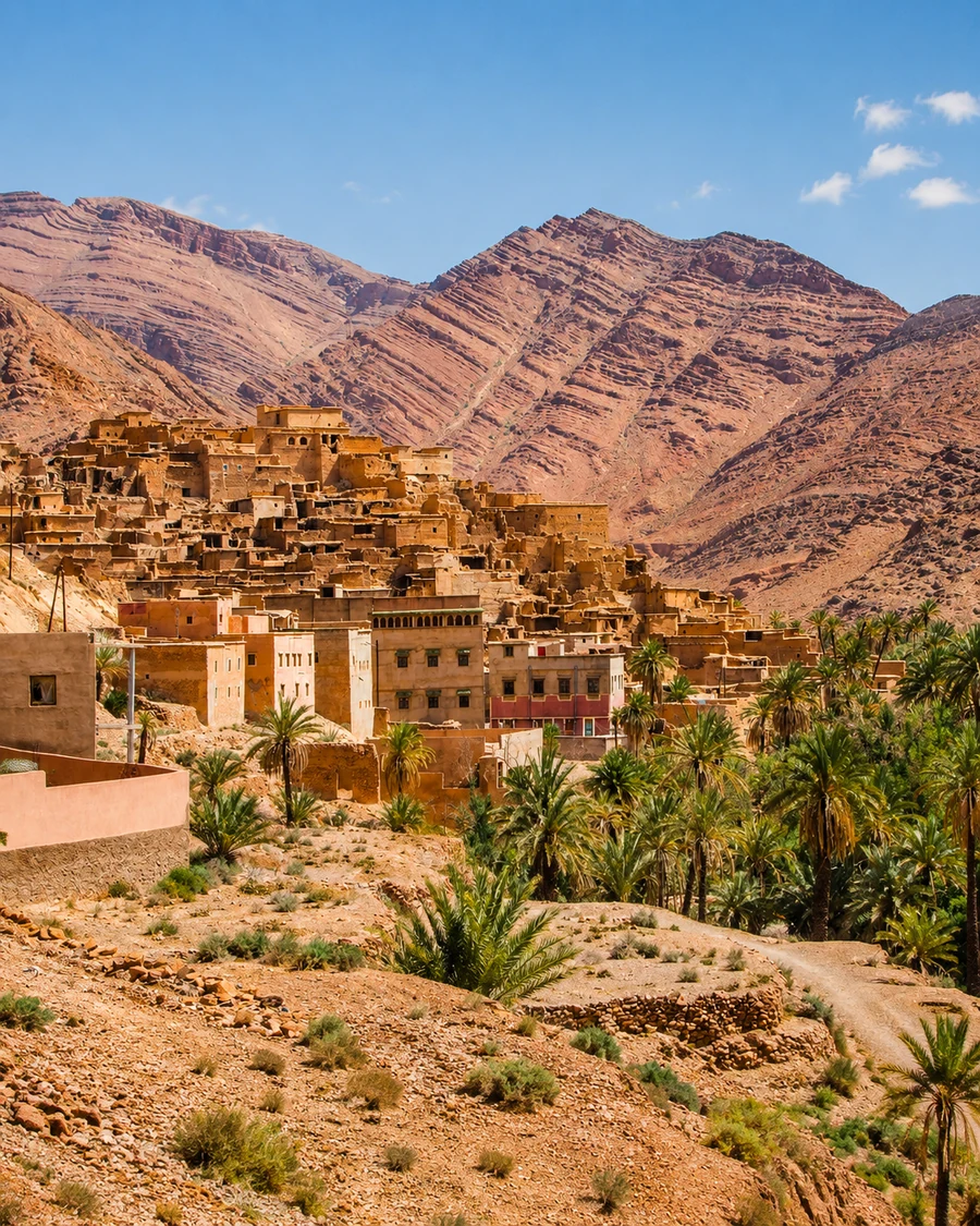 Ameln Valley
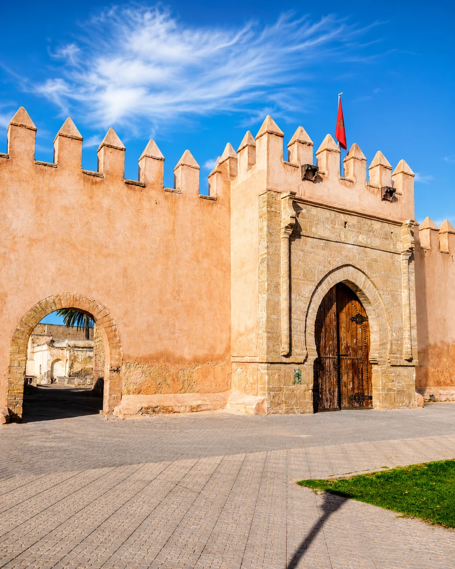 Kasbah Ismailia
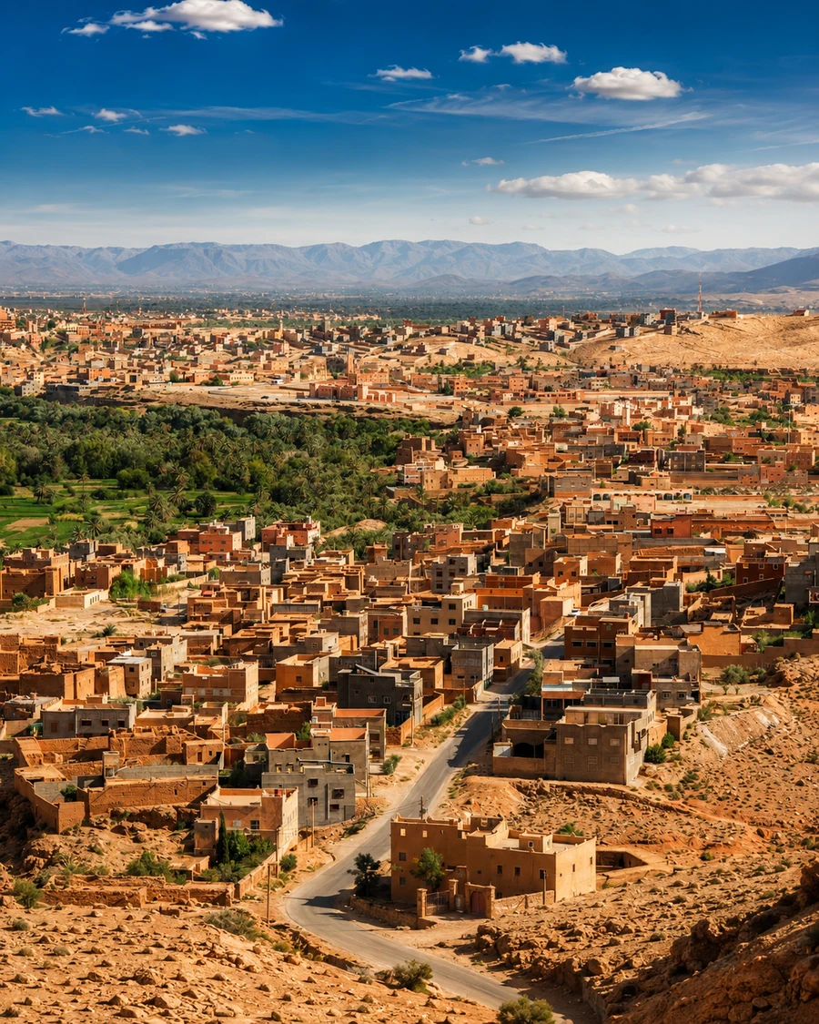 Chaouia agricultural plain
The visual rhythm shifts from cedar forests and cool mountain towns to waterfalls, high valleys, Anti-Atlas granite, spiritual interiors and agricultural plains.
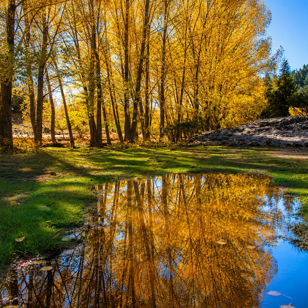
Ifrane, Azrou and Khenifra give the route its cool Middle Atlas forest identity.
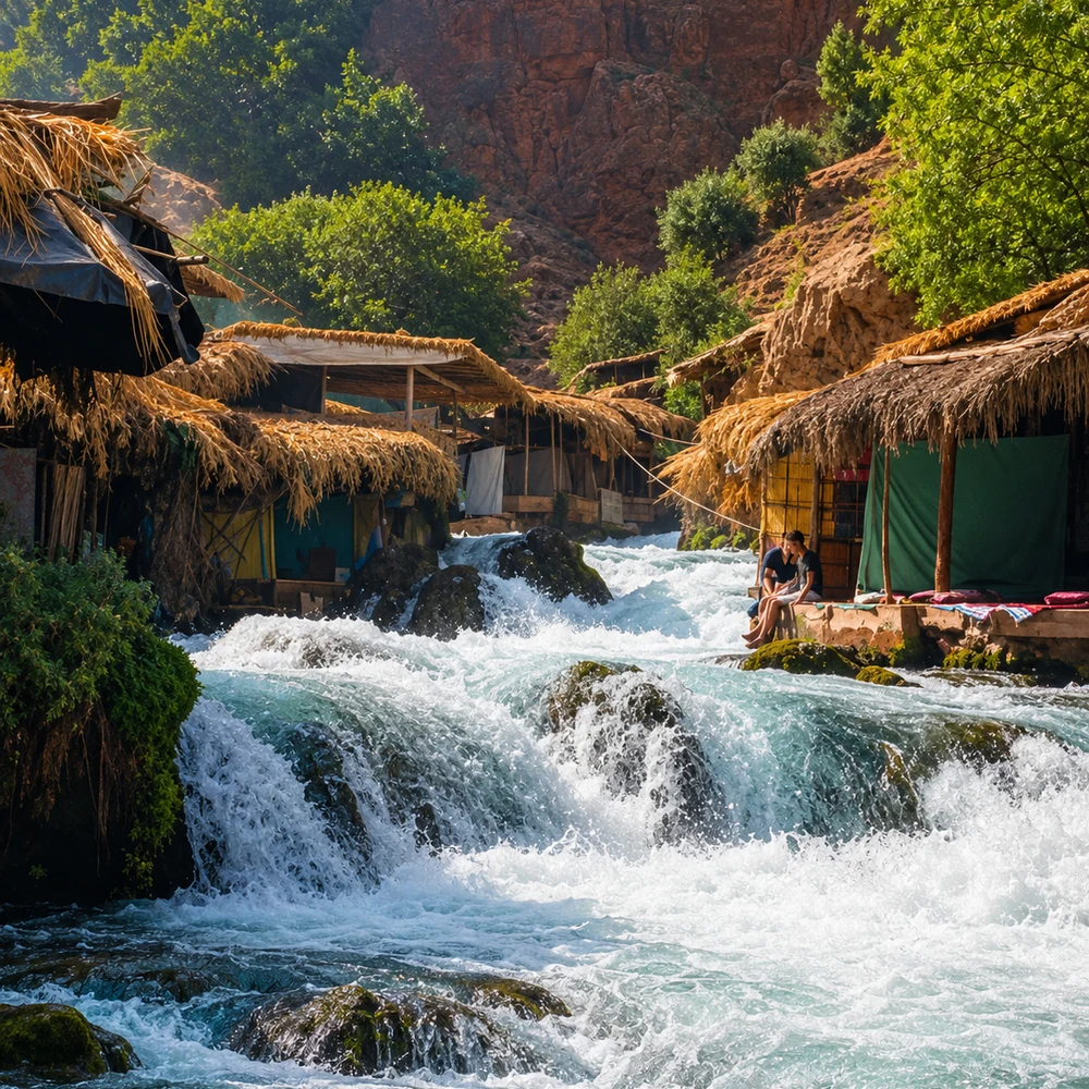
Beni Mellal and Azilal connect springs, Ouzoud, Bin El Ouidane and high valley landscapes.
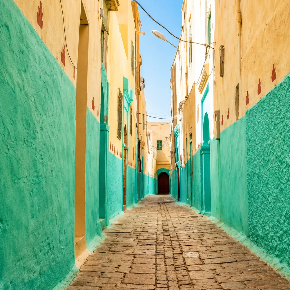
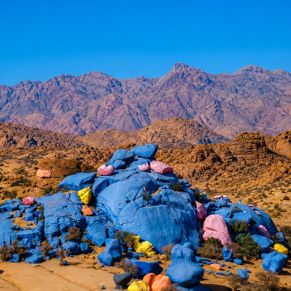
Tafraout and Settat close the region through Anti-Atlas granite and Chaouia plain geometry.
The journey can be shortened into Middle Atlas, central foothill, Azilal nature, Anti-Atlas or Chaouia segments while keeping the same mountain-and-interior logic.
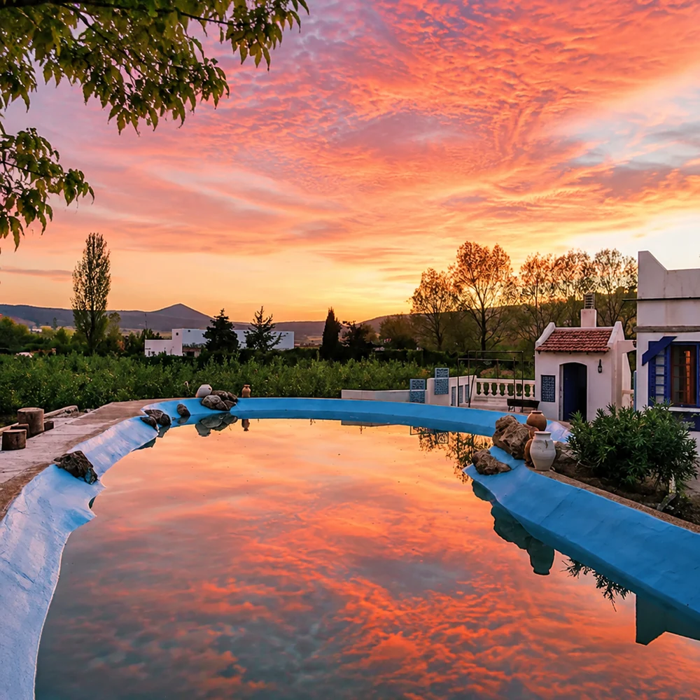 IfraneMiddle Atlas green
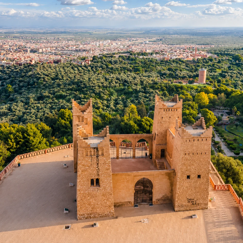 Beni MellalFoothill gateway
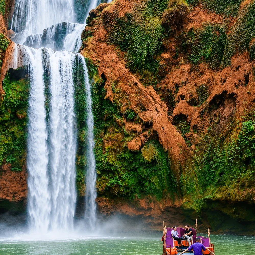 AzilalWaterfalls and valleys
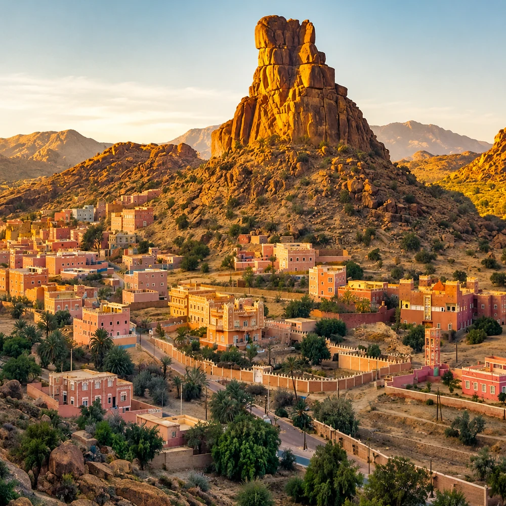 TafraoutAnti-Atlas granite
A few considered choices make the connections between these places more useful.
Choose a base and distinguish short local walks from road excursions and mountain days. A route that climbs or crosses a pass may take longer than its distance suggests. Leave room for meals, rests and conversations instead of measuring a day only in named sights. The Mountain Worlds mood can help select a character of journey; Altitude & Villages explains the relationships between terrain and settlement.
Winter conditions, summer heat, rainfall and changes in water availability do not affect all Atlas areas in the same way. Check the actual forecast, road information and local route advice close to travel. A town-centre visit and a high walk need different decisions. Do not use an old image of snow, green fields or a full waterfall to predict current conditions; a landscape photograph records a moment.
Terraces, channels, orchards and grazing land are evidence of decisions and labour. They should not be treated as scenery available for unrestricted entry. Ask about the work and follow local paths with permission where needed. A meal, a market or a discussion of materials can connect the view to daily life. The FAO accounts of mountain oases and argan systems offer specific examples of agriculture shaped through long relationships with difficult environments.
Historical and geographical references reviewed in September 2026. Route pairings and looking suggestions are Exotic Morocco editorial guidance. Check current access and transport arrangements before travelling. Existing regional library imagery is retained; photographs and illustrations do not establish present-day access or conditions.
Continue into the individual place guides for local context, landmarks and practical orientation.
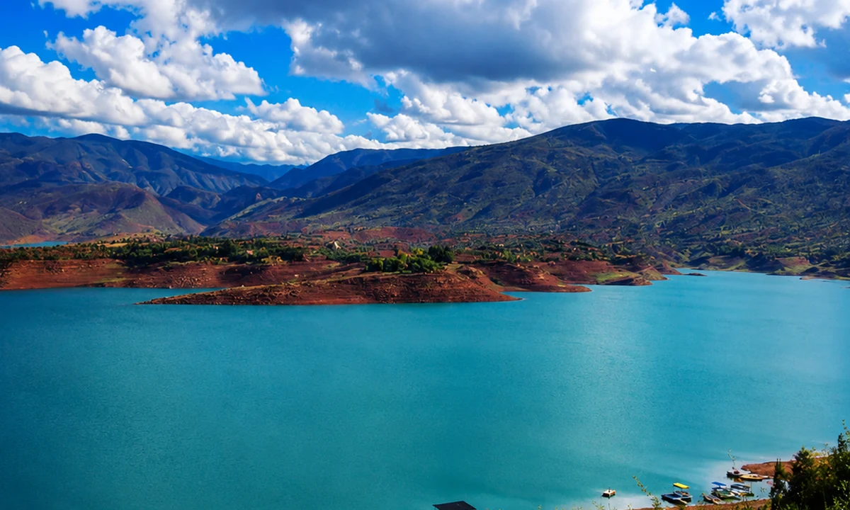
Start with Morocco’s mountain backbone: passes, cedar country and highland routes.
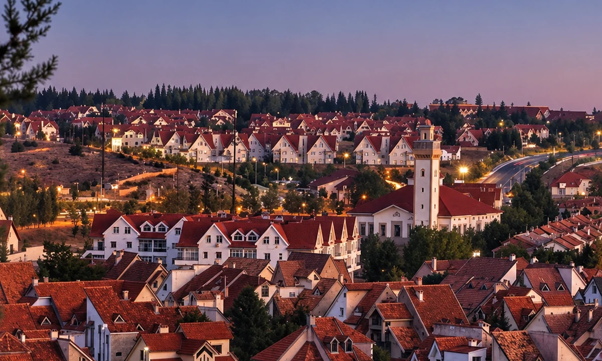
Pause in cedar forests, lakes and clean Middle Atlas air.
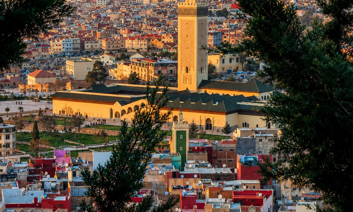
Follow cedar forest roads, market life and Middle Atlas village routes.
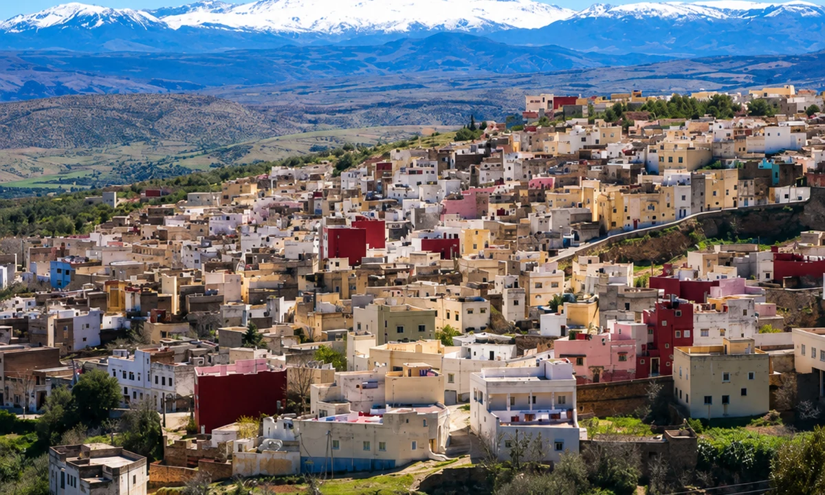
Open a compact chapter of orchards, waterfalls and cultural crossings.
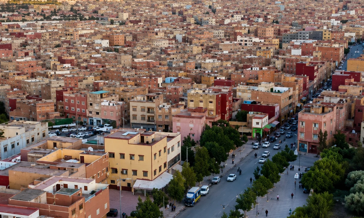
Move into Zayan highlands, cedar forest and Middle Atlas lakes.
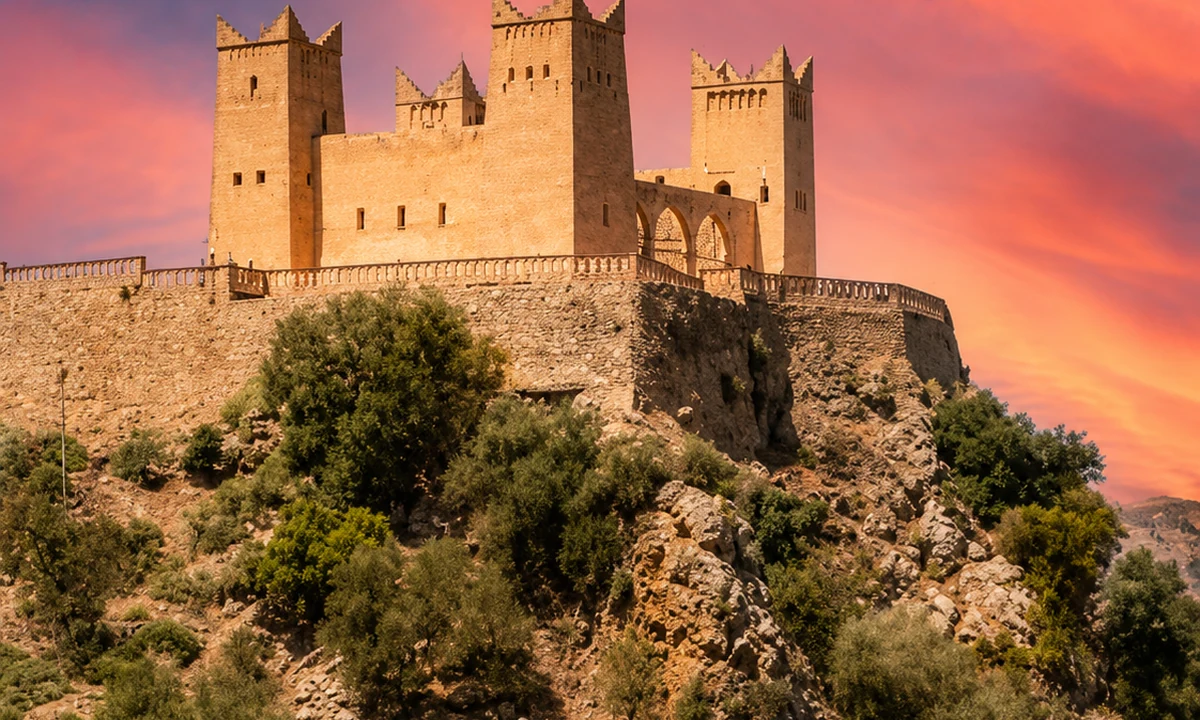
Use the foothill gateway for springs, plains and central Atlas routes.
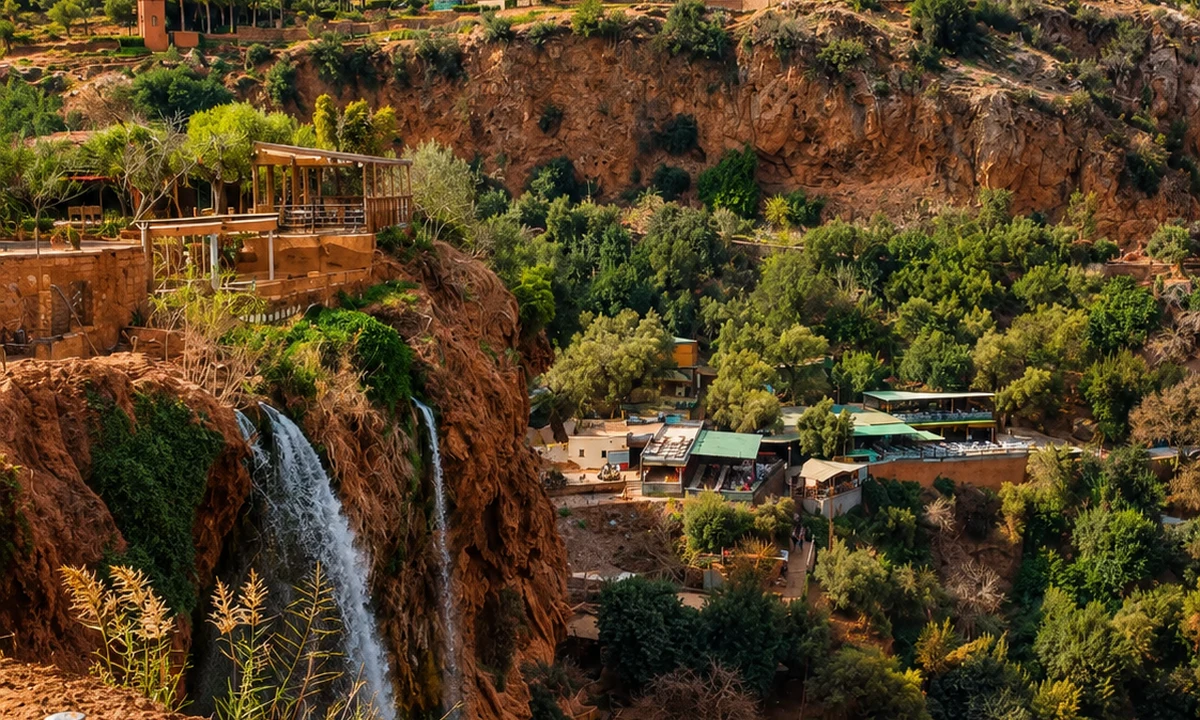
Follow waterfalls, valleys and M’Goun geopark landscapes.
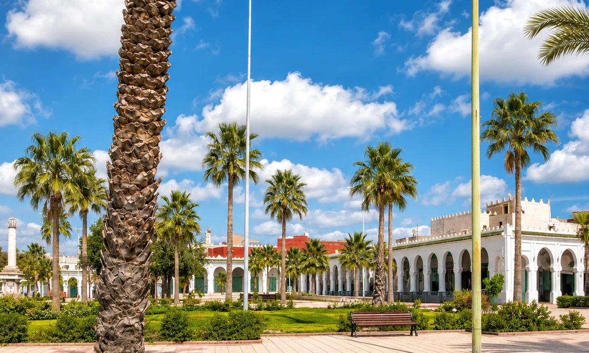
Trace a careful interior chapter of zaouia heritage and textile identity.
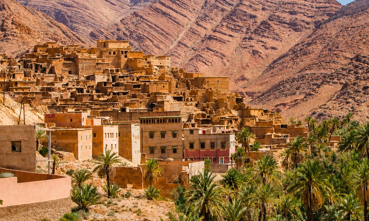
Shift south to granite mountains, valleys and Amazigh village country.
Close with Chaouia plain heritage and the Casablanca-Settat corridor.