Ifrane & the Middle Atlas
Look beyond the visitor image towards connections and services.

Reading the inhabited mountain landscape
Explore how relief, water, cultivation, forests and movement relate to settlement across the Middle Atlas, High Atlas, Anti-Atlas and Rif.
Altitude is a measurement; a mountain landscape is a set of relationships. Slope, exposure, water, paths and productive ground influence where people build and how they move. Households and communities also make choices that cannot be explained by geography alone. This layer reads settlement through both the physical setting and the work of living within it.
Ifrane, the Azilal and High Atlas setting, Tafraout and Talassemtane provide four contrasting perspectives. They do not represent one mountain society or a complete account of rural Morocco. Use them to develop better questions: how a town serves its surroundings, how cultivation occupies a valley, how rock and buildings share ground, and how forest routes connect with inhabited places. Contemporary change belongs in every one of those questions.
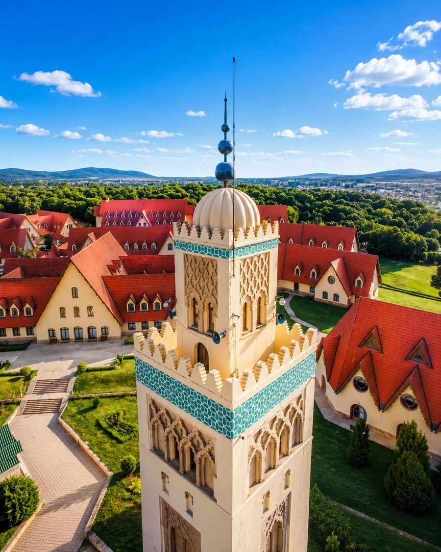
Look beyond the visitor image towards connections and services.
Read plots, routes and settlement together.
The spaces between landforms matter as much as the forms themselves.
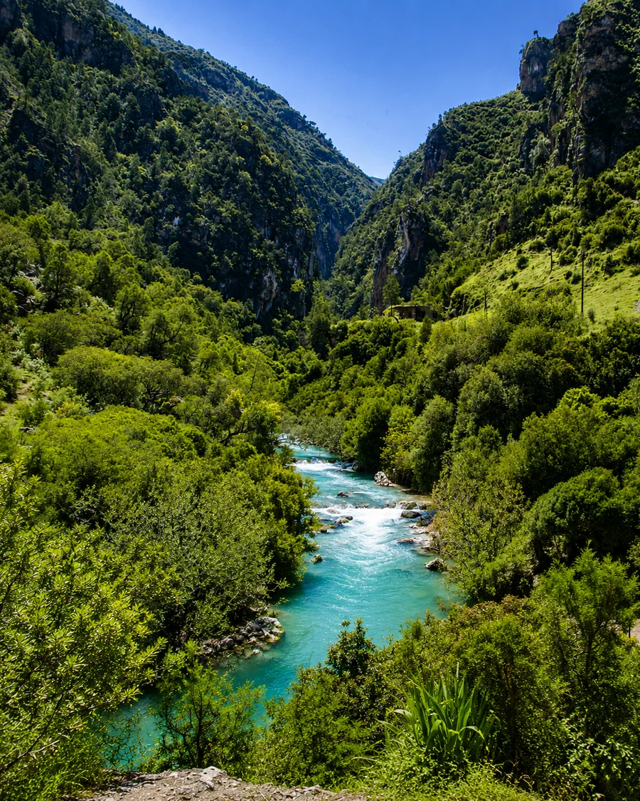
A protected landscape is also a place of management and local relationships.
Look at the relationship between a place and its approach before concentrating on a building. A road, path, field edge or valley floor can explain part of the arrangement. Then ask which details need a local account: water distribution, seasonal use, tenure or the history of a house cannot be reliably inferred from a distant view. These four settings form a conceptual comparison across different mountain areas.
Ifrane & the Middle Atlas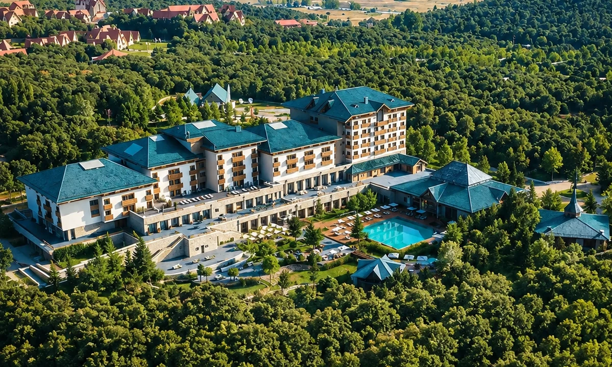 Ifrane & the Middle Atlas
 Azilal & High Atlas Valleys
 Tafraout & the Anti-Atlas
 Talassemtane & the Rif
 Ifrane & the Middle Atlas
 Azilal & High Atlas Valleys
Look for the relationships that make each place distinct.
Buildings on a slope, at its foot or beside a route have different relationships to access and surrounding ground. Observe that arrangement without assuming one cause. History, household decisions and later infrastructure may complicate a simple environmental explanation.
A terrace, orchard or irrigated plot represents work and continuing decisions. The visible form is only part of the system. Ask how it is maintained and used today rather than treating cultivation as a natural decorative feature of the valley.
Markets, transport, schools and services connect a mountain town with places beyond its immediate streets. Looking at those links challenges the idea that rural life is defined only by remoteness. Movement and connection can be central to its character.
A field, route or pasture may be used differently at another time of year. A single visit is a seasonal view. Keep that limitation visible, and use a knowledgeable account when describing practices you have not personally observed.
Explore how relief, water, cultivation, forests and movement relate to settlement across the Middle Atlas, High Atlas, Anti-Atlas and Rif.
A town as part of a regional network
Cultivation as a spatial system
Settlement within a rock landscape
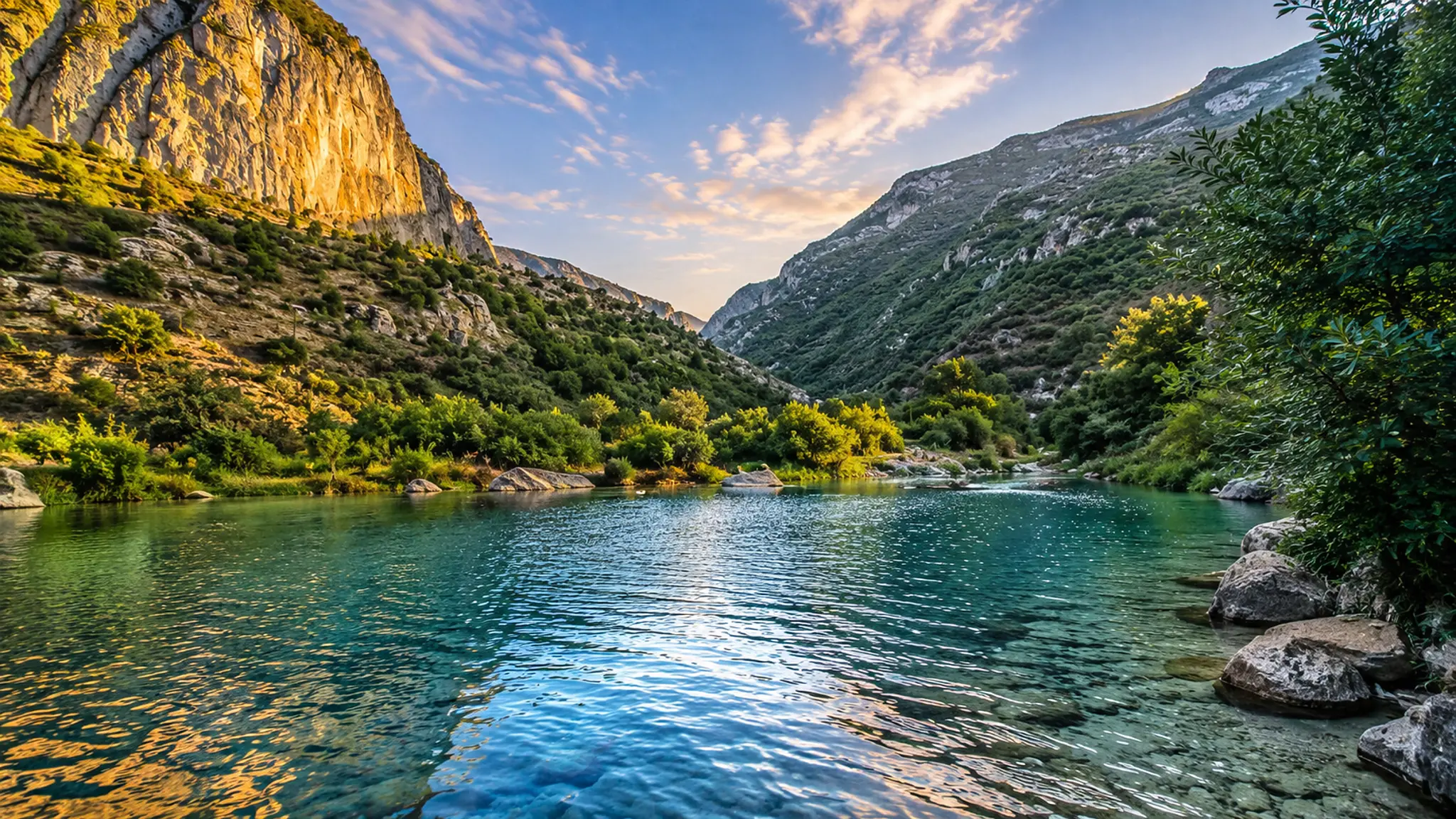
Forest routes with inhabited connections
Use the landscape as evidence of arrangement, then seek explanations for the social and historical details it cannot show by itself.
Notice changes in level and where routes choose to cross or follow them. A contour can shape movement without determining every choice. Compare the actual approach with a map to understand why an apparently close destination may require a longer journey.
Sun, shade and wind vary within a small area. Their effects may be visible in the use of outdoor space or the timing of activity. Avoid converting a momentary observation into a universal rule about how every building in the region works.
A stream, spring or channel can connect settlement and cultivation. Its source, seasonal behaviour and management need specific information. A visible flow does not establish that water is plentiful or available equally to everyone nearby.
Cultivated ground can involve retaining structures, clearing, irrigation and maintenance. Look from appropriate routes and ask about the work involved. A seemingly modest plot may contain a more complex investment of knowledge and labour than a broad panorama suggests.
Daily travel, market journeys and seasonal land use operate at different rhythms. Do not assume a path is a visitor trail or that a route visible on a map is currently open. Ask what the route is for and who uses it.
A new building, road or service is evidence of a place continuing to adapt. It need not be dismissed as a loss of authenticity. Ask what problem it addresses and how residents describe the change, allowing more than one perspective to remain visible.
Look beyond the visitor image towards connections and services.
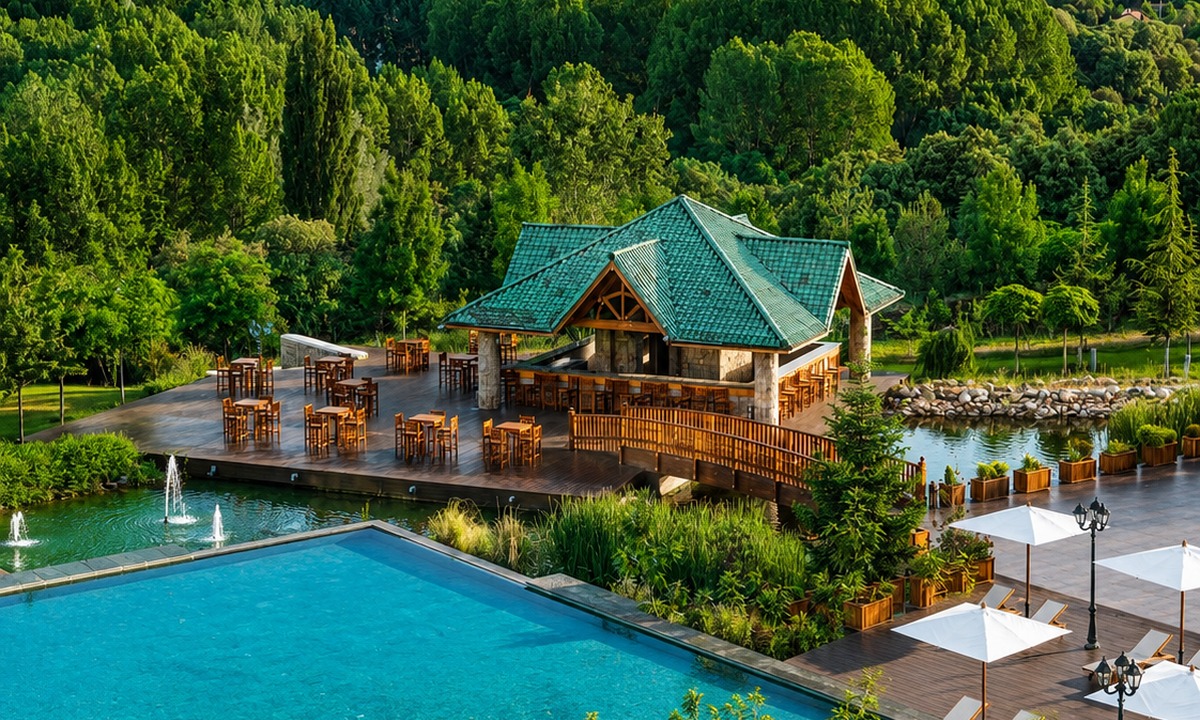
Ifrane offers a useful place to begin with the idea of a mountain town rather than a remote village. Its streets, public spaces and services belong to a wider Middle Atlas setting. Observe how people arrive, where movement gathers and how the town relates to nearby destinations. The comparison with other mountain places becomes stronger when it includes differences in urban form and function, not only similarities in scenery.
The surrounding forest and upland environments add another scale. A guided visit can connect visible vegetation and landforms with reliable local knowledge, while a market or town stop can reveal human connections the landscape view leaves out. Avoid assuming that every wooded area has identical management or use. The town, the particular forest route and the wider region should remain distinct in the account. Together they show how a mountain setting can support several overlapping kinds of activity and identity.
IfraneForêt d’IfraneDayet Aoua lake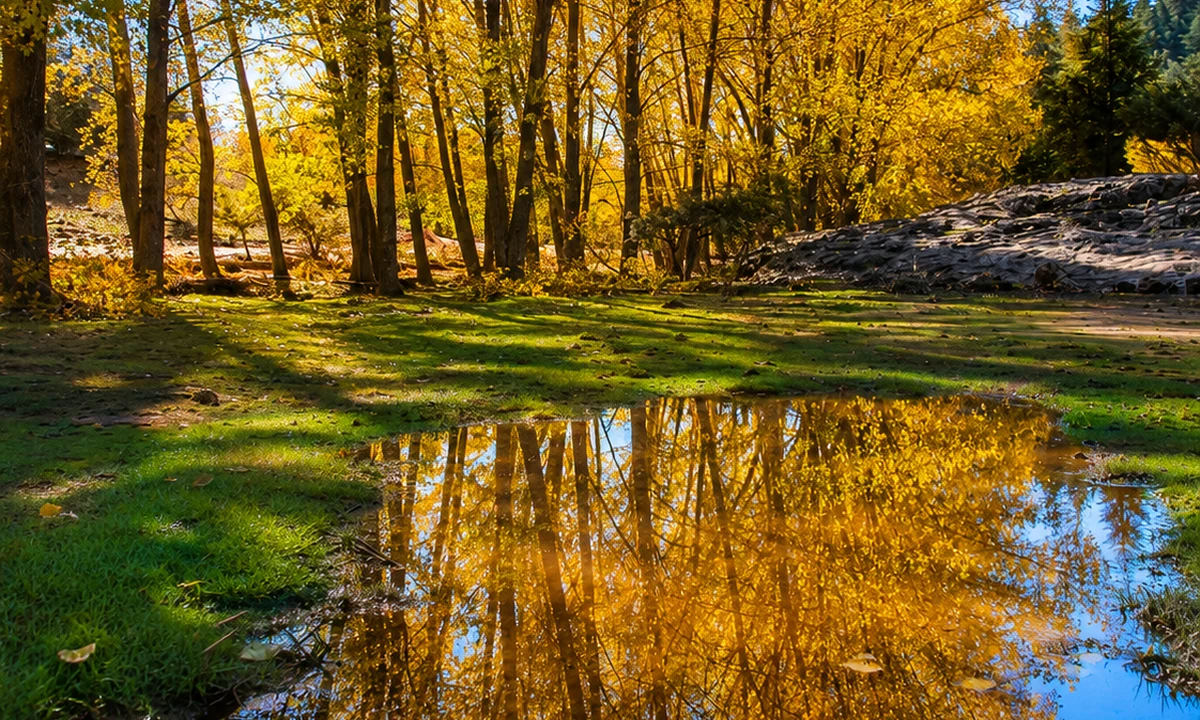 Ain Vitel river
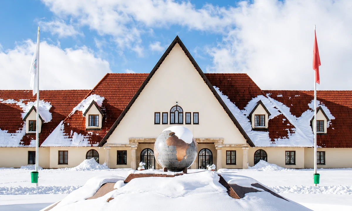 Michlifen ski station
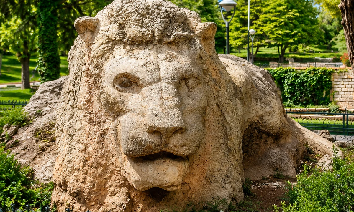 Lion of Ifrane
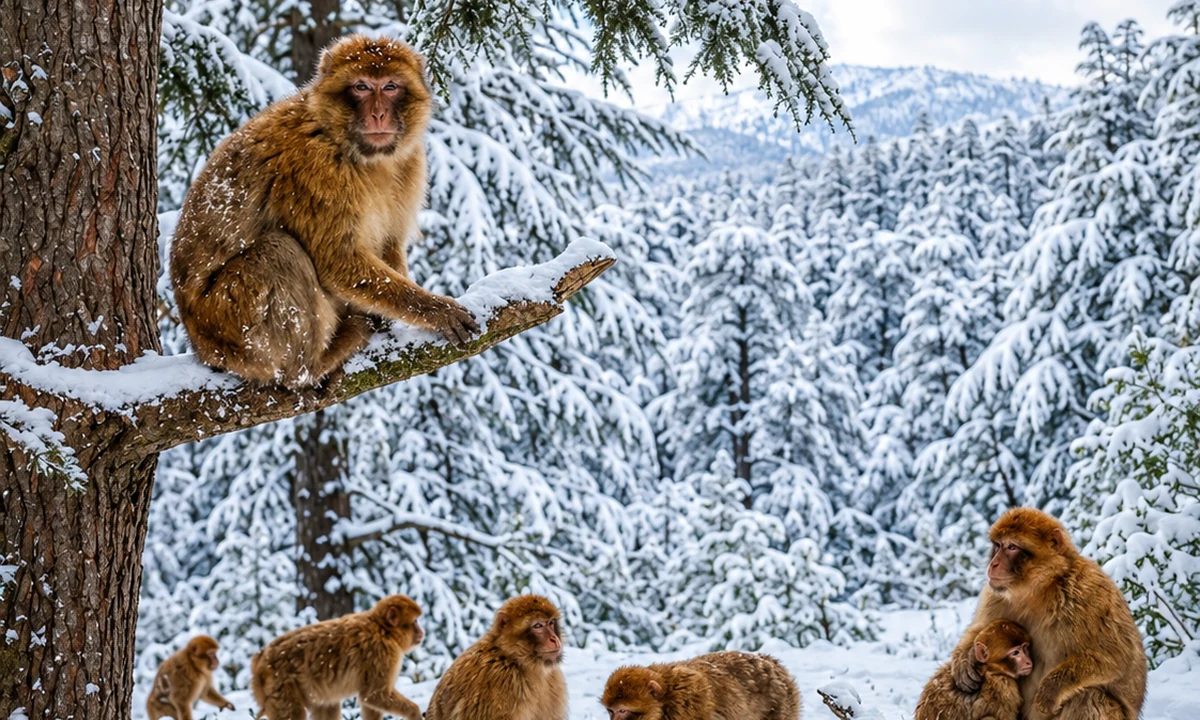 Barbary macaque forestAzilalOuzoud WaterfallsAït Bouguemez Valley
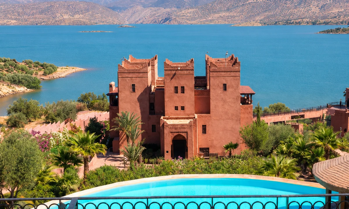 Bin El Ouidane lake
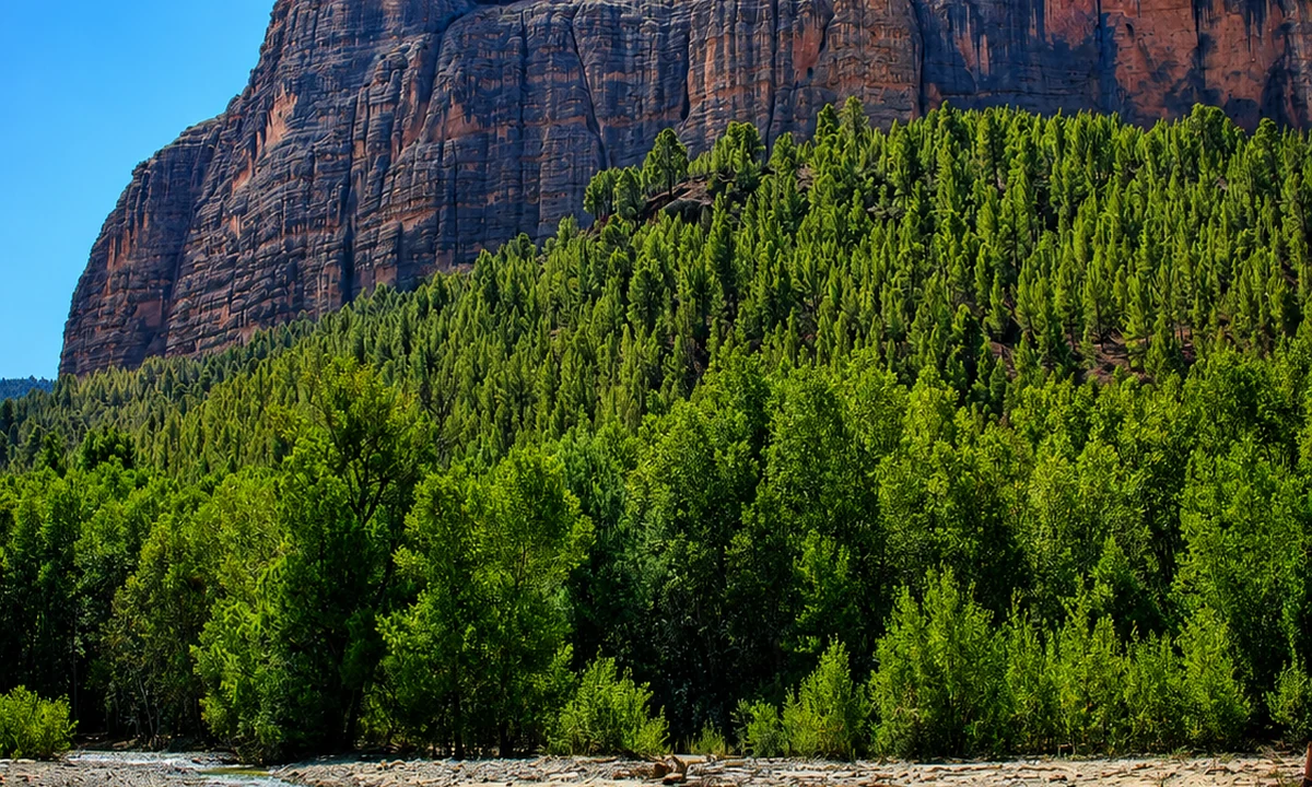 Imi n’Ifri Natural Bridge
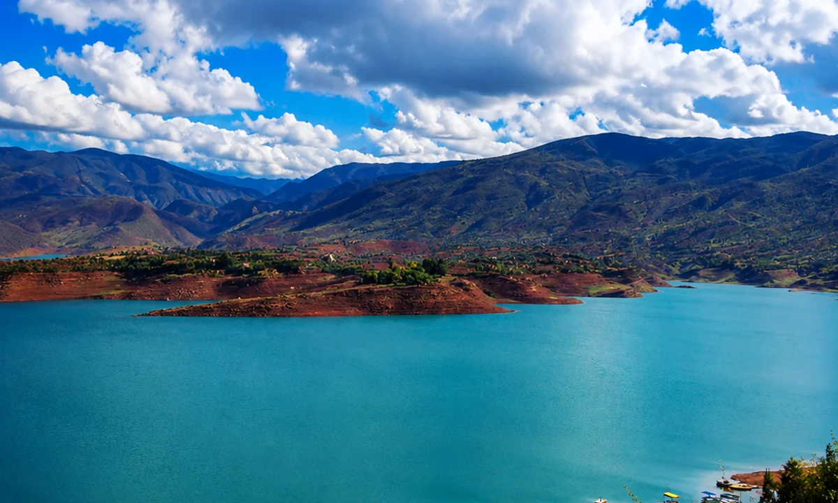 M’Goun Geopark
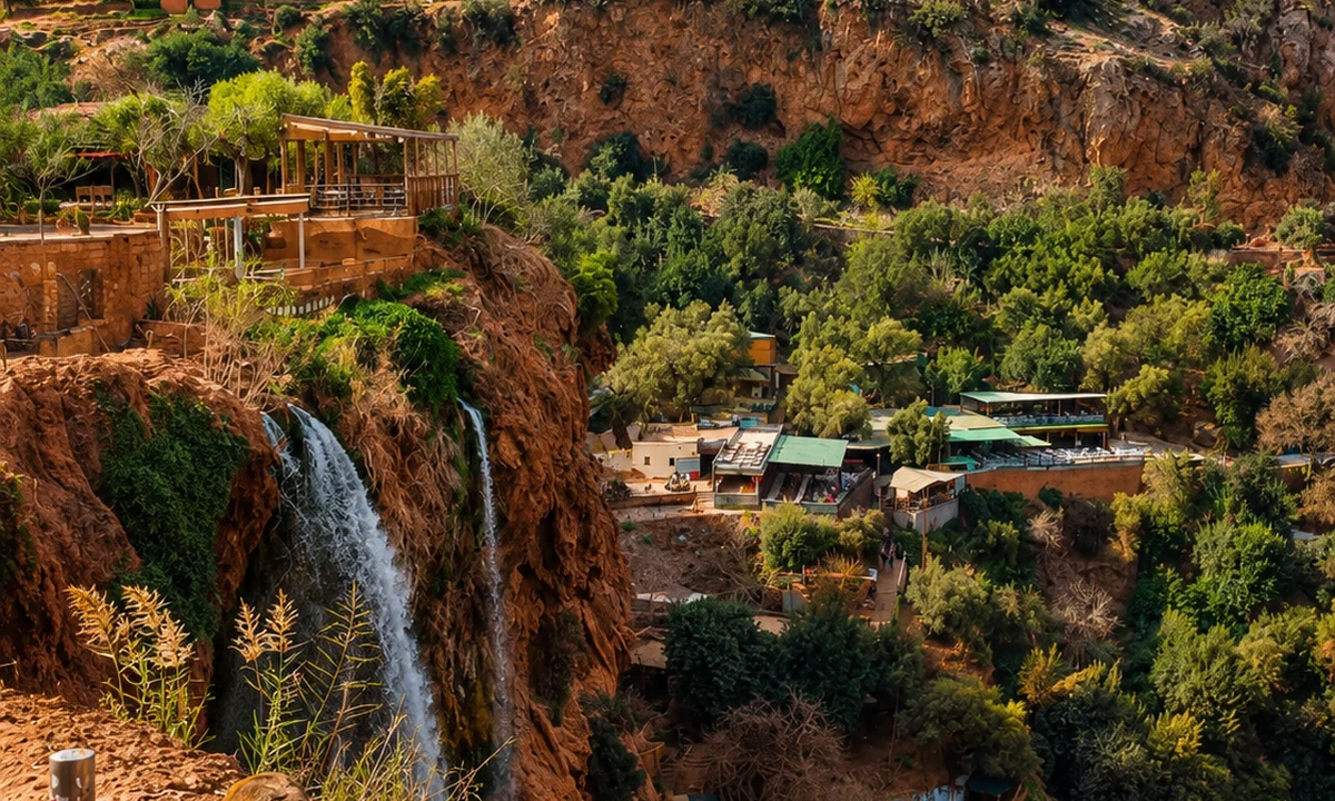 Zaouiat Ahansal and Taghia
Read plots, routes and settlement together.
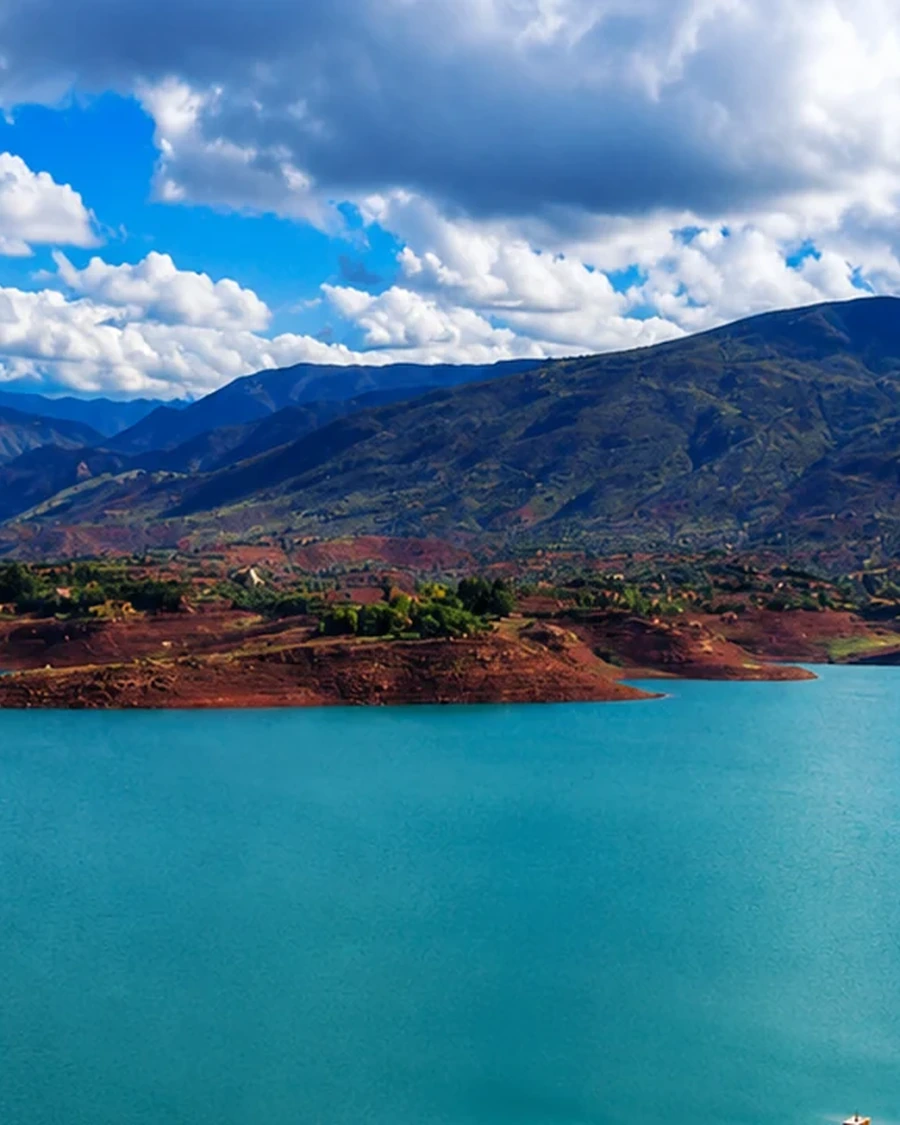
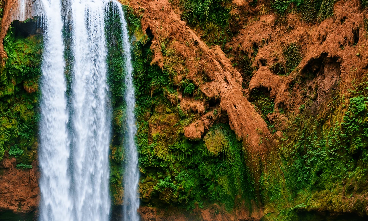
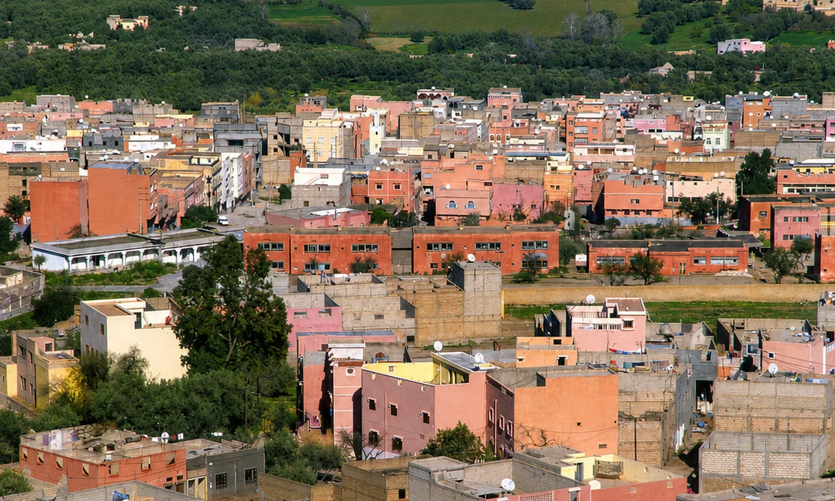
In a High Atlas valley, the arrangement of productive ground can be as revealing as the form of a village. Look at where cultivation sits in relation to water and paths, then ask what work keeps that arrangement functioning. FAO's Atlas oasis reference describes an integrated agricultural system in a particular mountain context, offering a model for asking about relationships rather than a template to impose on every valley.
A local explanation may identify a crop, channel or seasonal use that a visitor would otherwise miss. Keep the account tied to the place and speaker, and distinguish it from your own visual interpretation. A settlement may contain old and new materials, altered routes and changing household needs. These are part of its contemporary history. The most informative visit allows time to understand one relationship in depth, instead of gathering distant views of several villages and treating their differences as merely decorative.
The spaces between landforms matter as much as the forms themselves.
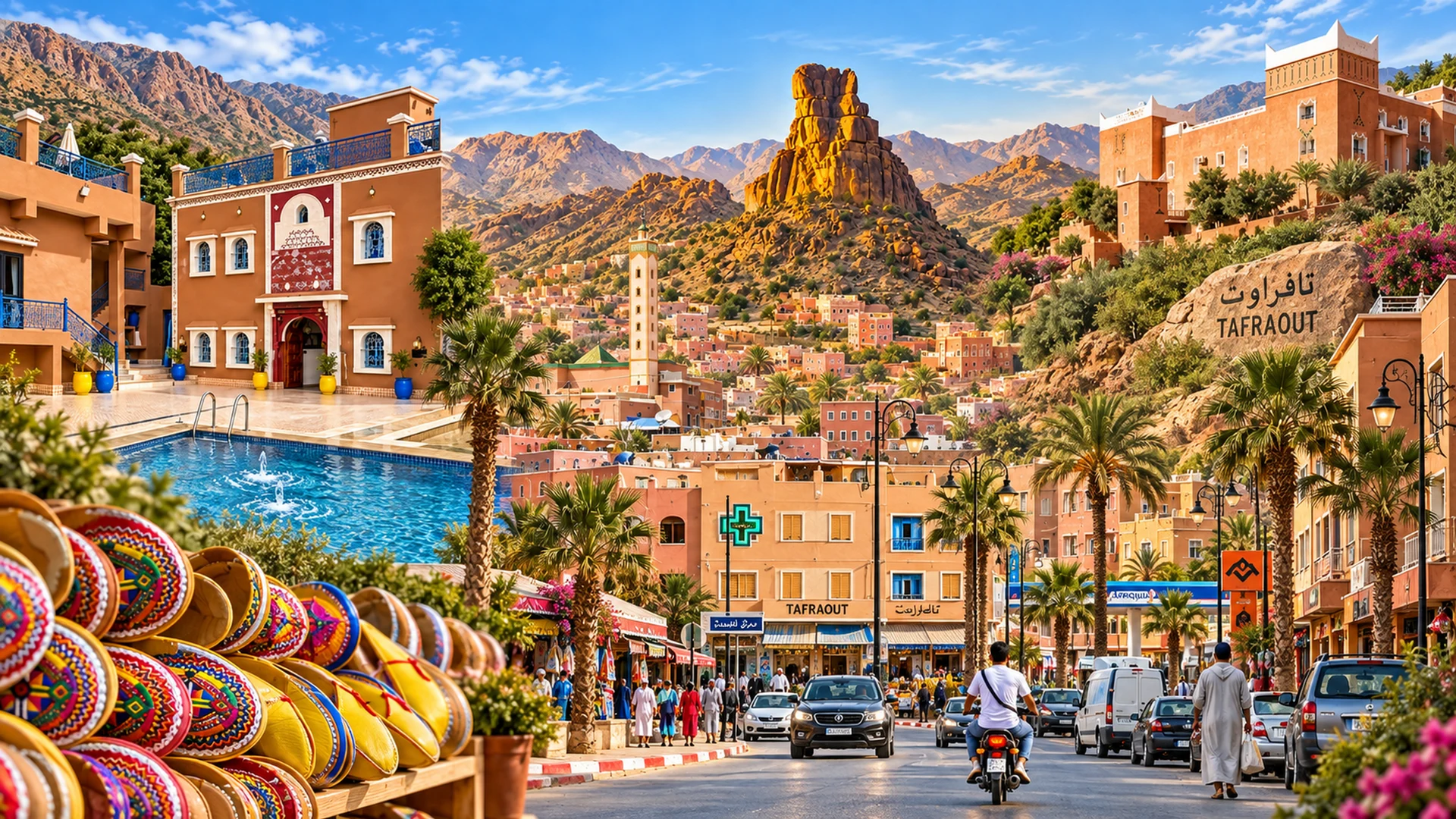
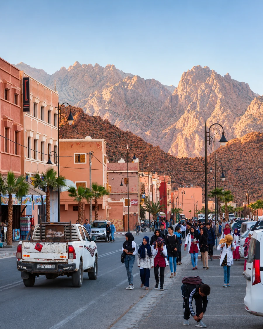
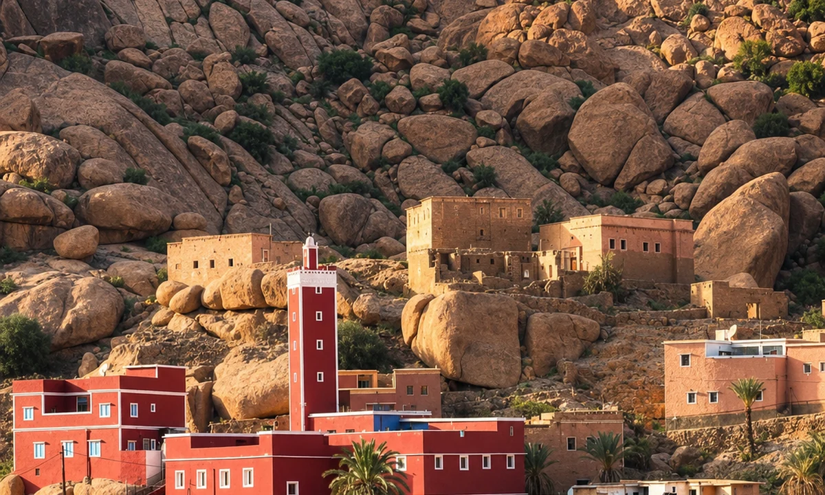
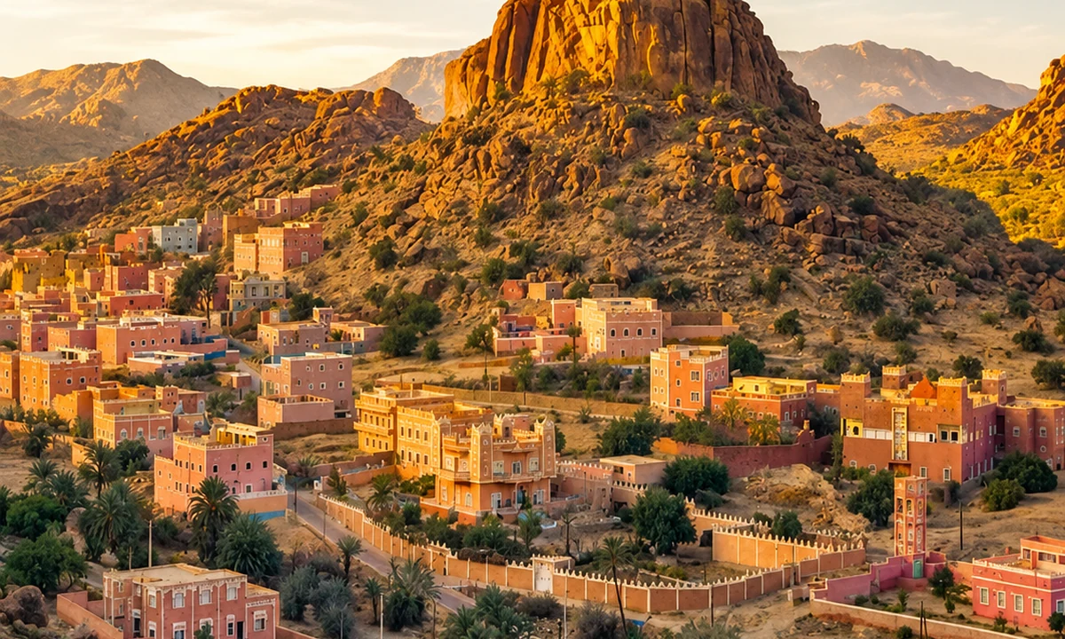
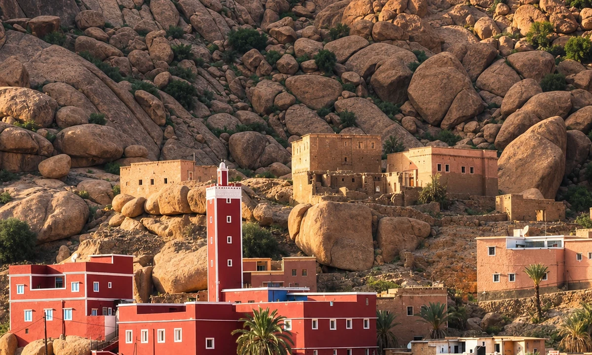
The Tafraout setting makes the relationship between rock and settlement particularly visible. Rather than looking only at the largest outcrop, follow the gaps through which paths, roads and built places are arranged. A building's position can prompt questions about access, exposure and the use of nearby ground. Those questions should remain open until a local or historical account can explain the particular situation.
The town also connects the visual landscape with shops, services and social life. Include it in the reading instead of presenting the surrounding villages as isolated from wider networks. An ordinary journey to obtain goods or attend a market may be part of the relationship you are trying to understand. If a building or practice interests you, ask for its local name and present use. Avoid assuming that a familiar-looking earthen wall or stone arrangement serves the same purpose as one seen in another mountain area.
TafraoutAnti-Atlas granite landscapesAit Mansour Valley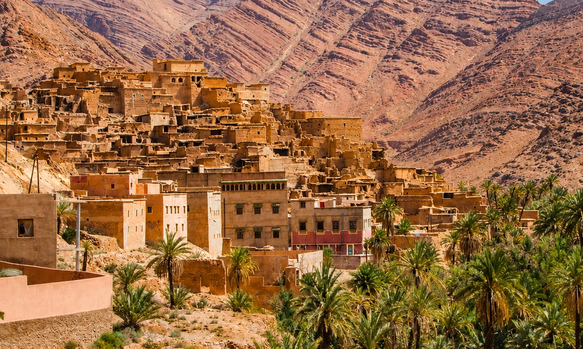 Ameln Valley
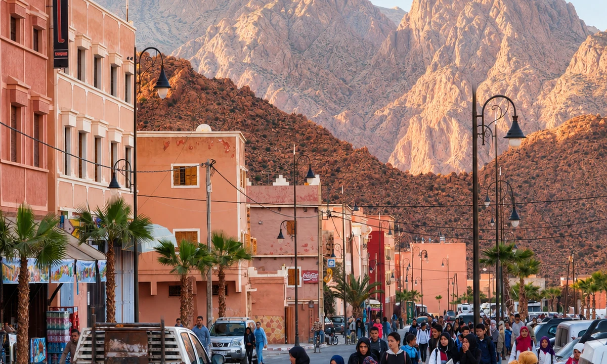 Jbel Lkest
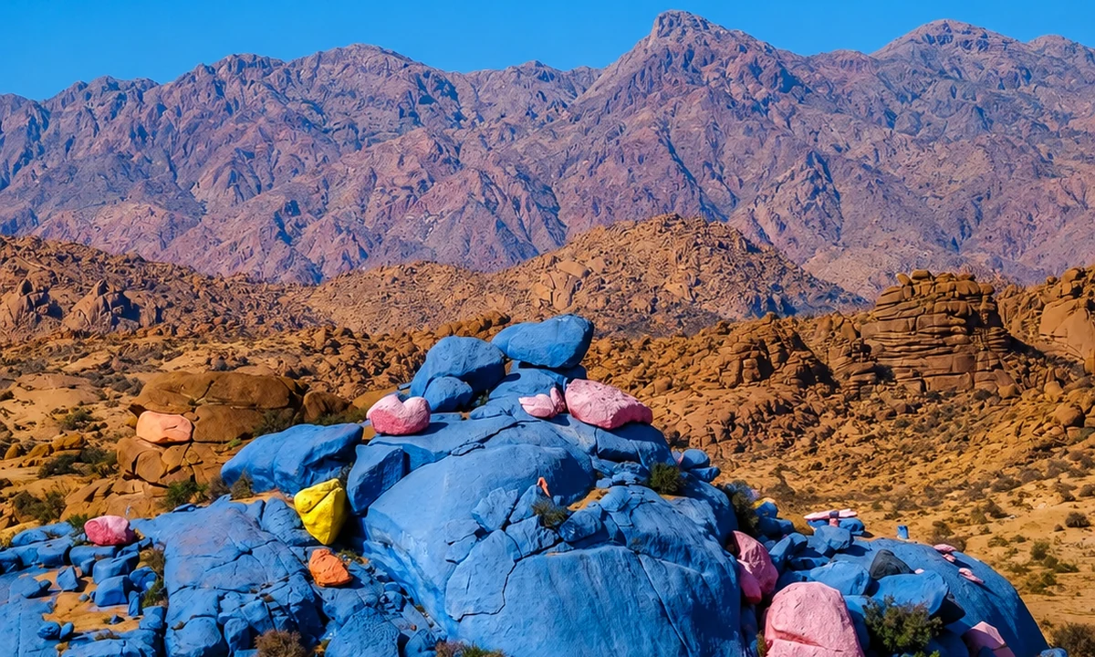 Painted Rocks
 Almond and argan landscapesTalassemtane ValleyTalassemtane National Park WaterTalassemtane landscape
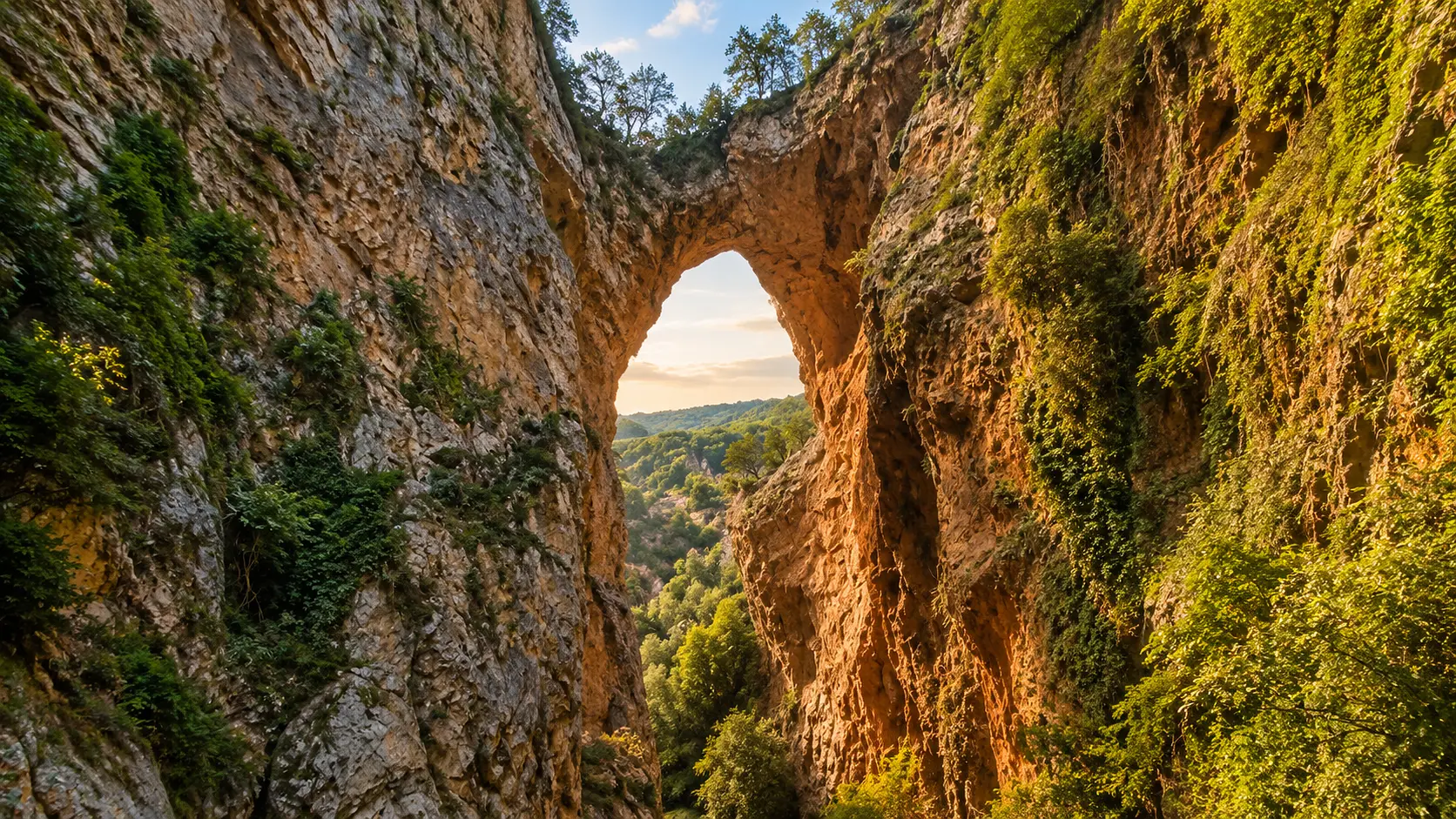 Limestone arch · Akchour connection
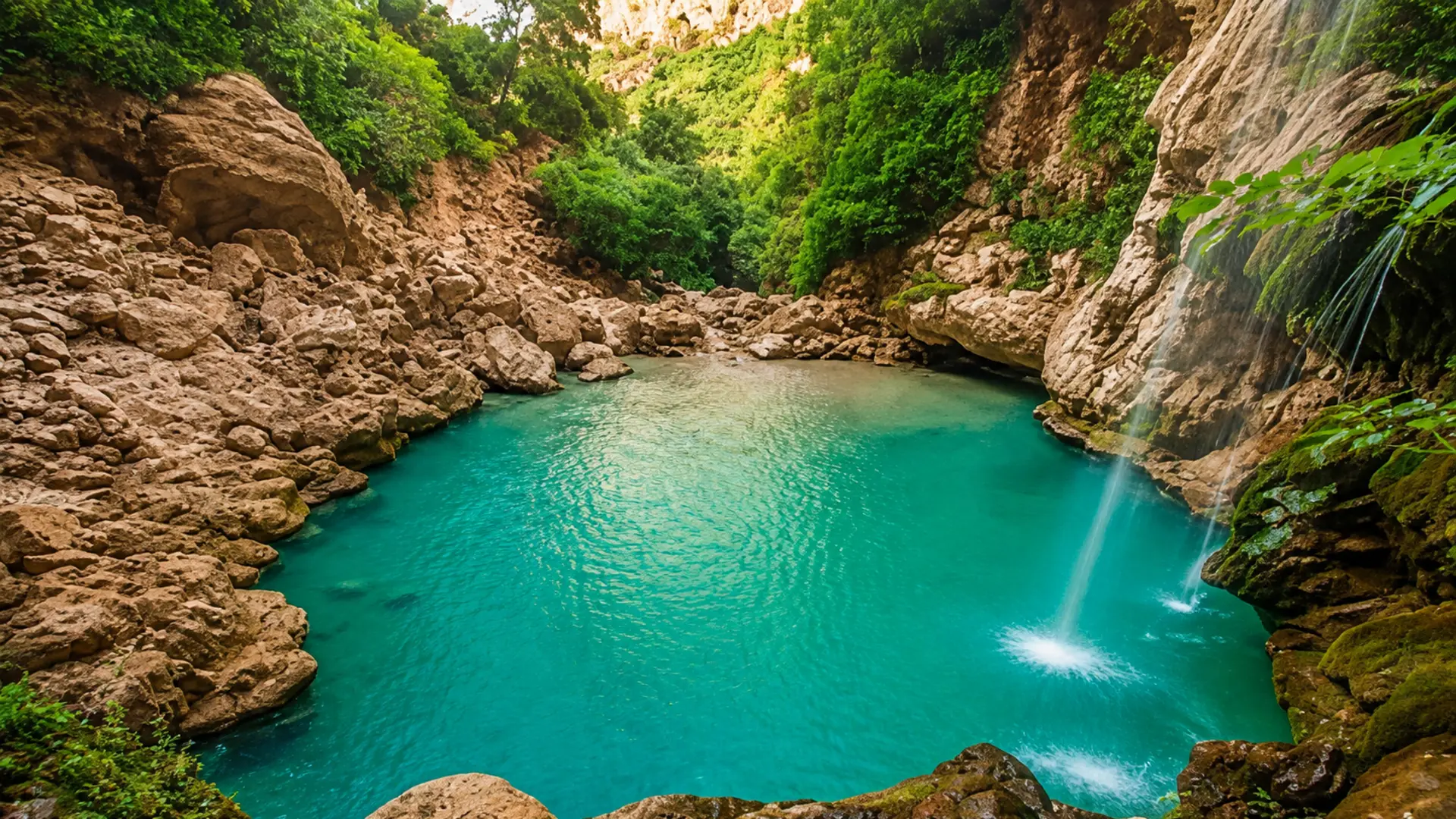 Akchour river approach
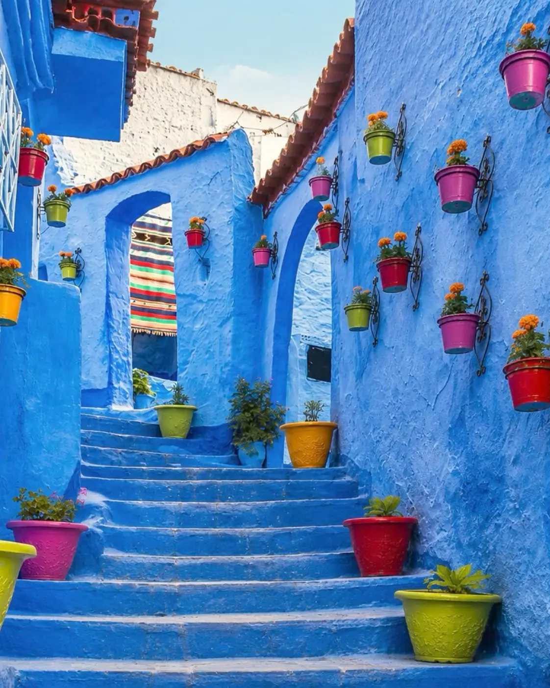 Chefchaouen gateway
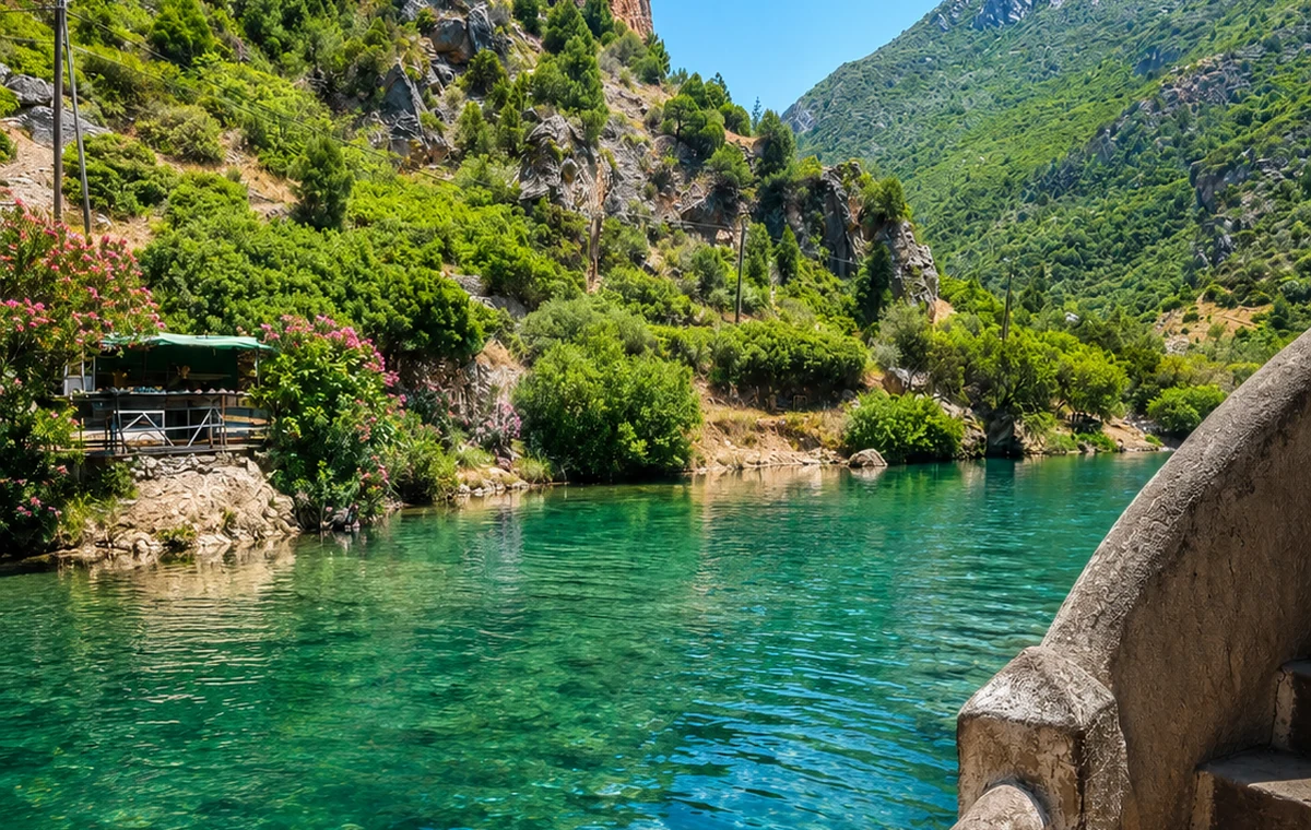 Rif river gorge
A protected landscape is also a place of management and local relationships.
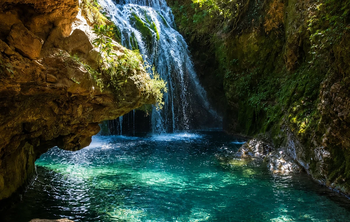
Talassemtane shifts the comparison towards the Rif and a national-park landscape. Begin with a specific route and current local guidance. The park name does not describe one uniform walk, and its forests and relief should not be treated as an empty setting outside human relationships. A knowledgeable guide can help distinguish ecological features from the uses and connections of nearby inhabited places.
Observe how a path, viewpoint or settlement relates to the surrounding terrain while respecting the rules that apply to the area. Ask before extending a route through productive or private ground. The relationship between conservation, visitor movement and local life is more complex than a simple opposition between untouched nature and development. A considered visit can hold those dimensions together, leaving room for management needs and for the people whose everyday geography includes the landscape a visitor has come to admire.
Ifrane & the Middle Atlas · Ain Vitel riverAzilal & High Atlas Valleys · Bin El Ouidane lakeTafraout & the Anti-Atlas · Ameln ValleyLimestone arch · Akchour connectionIfrane & the Middle Atlas · Michlifen ski stationAzilal & High Atlas Valleys · Imi n’Ifri Natural BridgeTafraout & the Anti-Atlas · Jbel LkestAkchour river approachIfrane & the Middle Atlas · Lion of IfraneAzilal & High Atlas Valleys · M’Goun GeoparkTafraout & the Anti-Atlas · Painted RocksChefchaouen gatewayStone, earth, timber and newer construction materials can coexist within one settlement. Their presence reflects availability, skill, maintenance, resources and changing needs, among other factors. Avoid assigning a fixed cultural meaning to a material without evidence. Read the building's arrangement and use, then seek the history of the actual structure. A contemporary addition may reveal as much about life in a mountain setting as a carefully preserved older façade.
Public space, services, forest setting
Plots, water, paths, repair
Intervals, access, contemporary use
Paths, management, inhabited edges
The four circles connect different mountain relationships rather than a continuous excursion. Choose one area and develop the reading through a town, a suitable route and a well-explained local encounter. Current conditions, access and the group's abilities should shape the actual plan. Mountain Worlds translates this conceptual layer into a broader choice of travel mood.
Ifrane & the Middle AtlasTown and regional connectionsAzilal & High Atlas ValleysCultivation and inhabited valleysTafraout & the Anti-AtlasRock, routes and buildingsTalassemtane & the RifRif forest and local connectionsA few considered choices make the connections between these places more useful.
Cultivated land, channels and working structures have owners or users and practical purposes. View them from appropriate routes, ask before entering and avoid interrupting work. An invited explanation is more useful than a close photograph obtained without understanding the place or respecting its boundaries.
Describe when you visited and what you observed. If you discuss a seasonal practice, identify the source and the location to which it applies. This avoids presenting a single moment as a complete account of the year, or extending one community's arrangements across an entire mountain range.
Residents may describe a road, new building or change in land use differently from a visitor. Listen for practical needs and differing experiences. The aim is to understand a lived landscape, which includes adaptation and disagreement as well as continuity and valued traditions.
Historical and geographical references reviewed in September 2026. Route pairings and looking suggestions are Exotic Morocco editorial guidance. Check current access and transport arrangements before travelling. Existing regional library imagery is retained; photographs and illustrations do not establish present-day access or conditions.
Open the individual place guides for local context and a more detailed visit. Return to Regions to compare other landscapes and cultural connections.
Look beyond the visitor image towards connections and services.
Read plots, routes and settlement together.
The spaces between landforms matter as much as the forms themselves.
A protected landscape is also a place of management and local relationships.