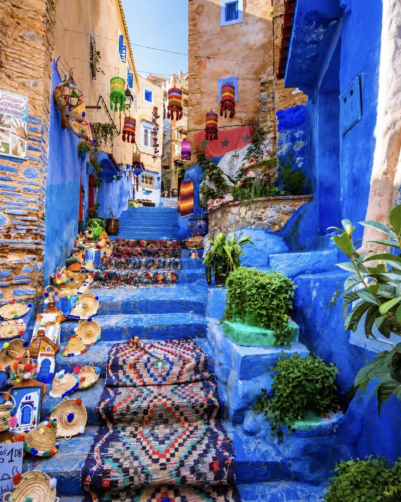
Chefchaouen
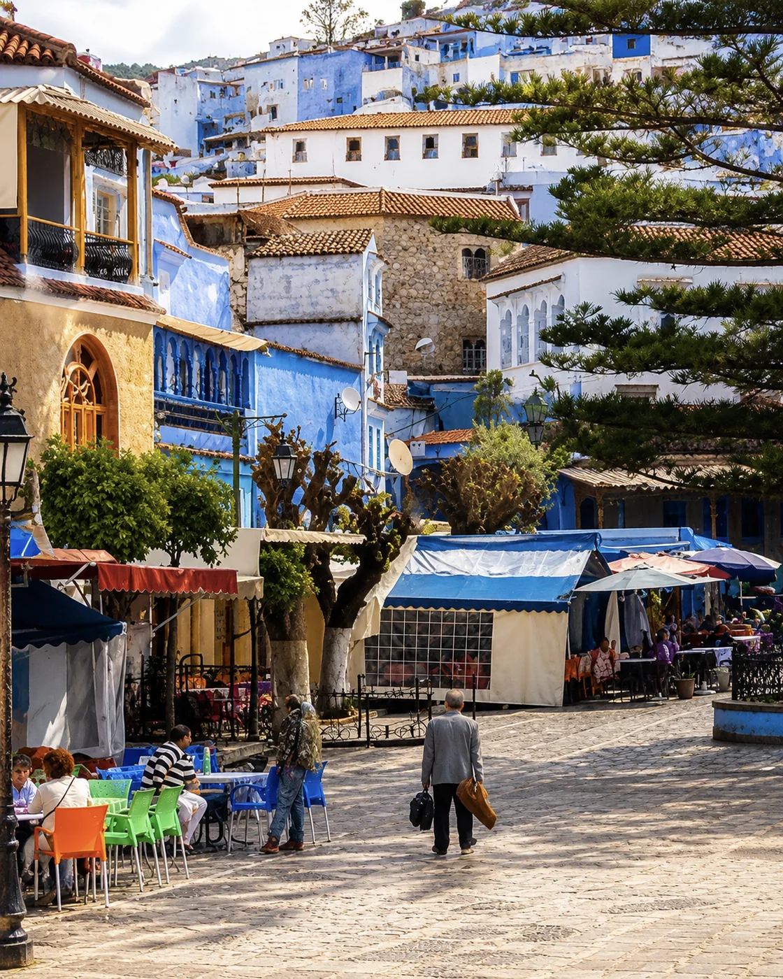
Look from the blue streets towards the slopes that contain them.

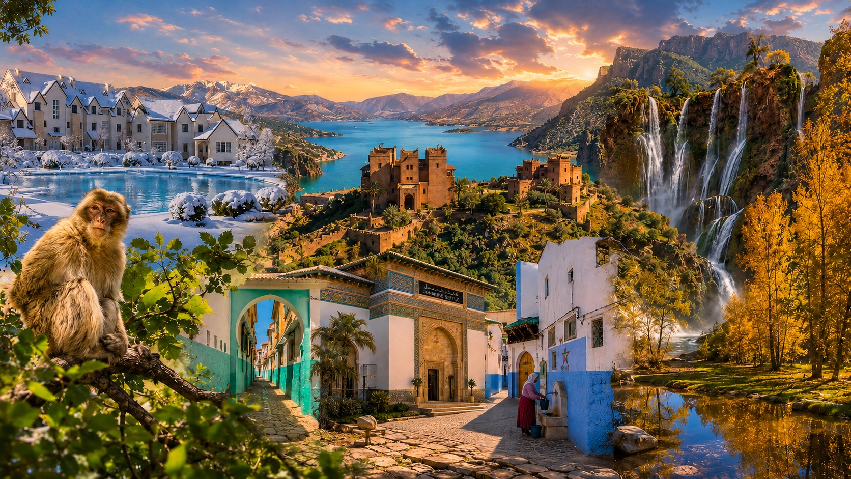
Forests, valleys, villages and the measure of altitude
Choose a mountain journey through the Rif, Middle Atlas, High Atlas or Anti-Atlas, connecting scenery with settlement and everyday land use.
Mountain Morocco is several worlds rather than one dramatic backdrop. A Rif town, a Middle Atlas forest setting, a High Atlas valley and an Anti-Atlas granite landscape invite different journeys. Relief affects the road, the view and the way a settlement occupies its ground. Water and cultivation add another layer, making a valley floor as interesting as the skyline above it.
Choose this mood for time outdoors with cultural depth. The purpose is not to collect summits or promise one universal mountain experience. It is to understand a particular setting well: how a town meets its surrounding slopes, where fields and paths sit, and how weather or season changes the practical shape of a day. Select one mountain area first, then decide how much movement within it is useful.
Look from the blue streets towards the slopes that contain them.
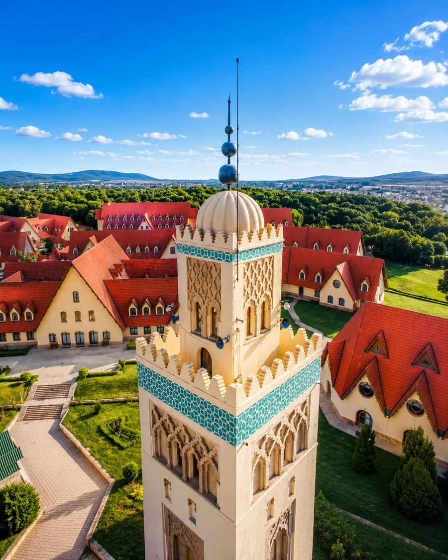
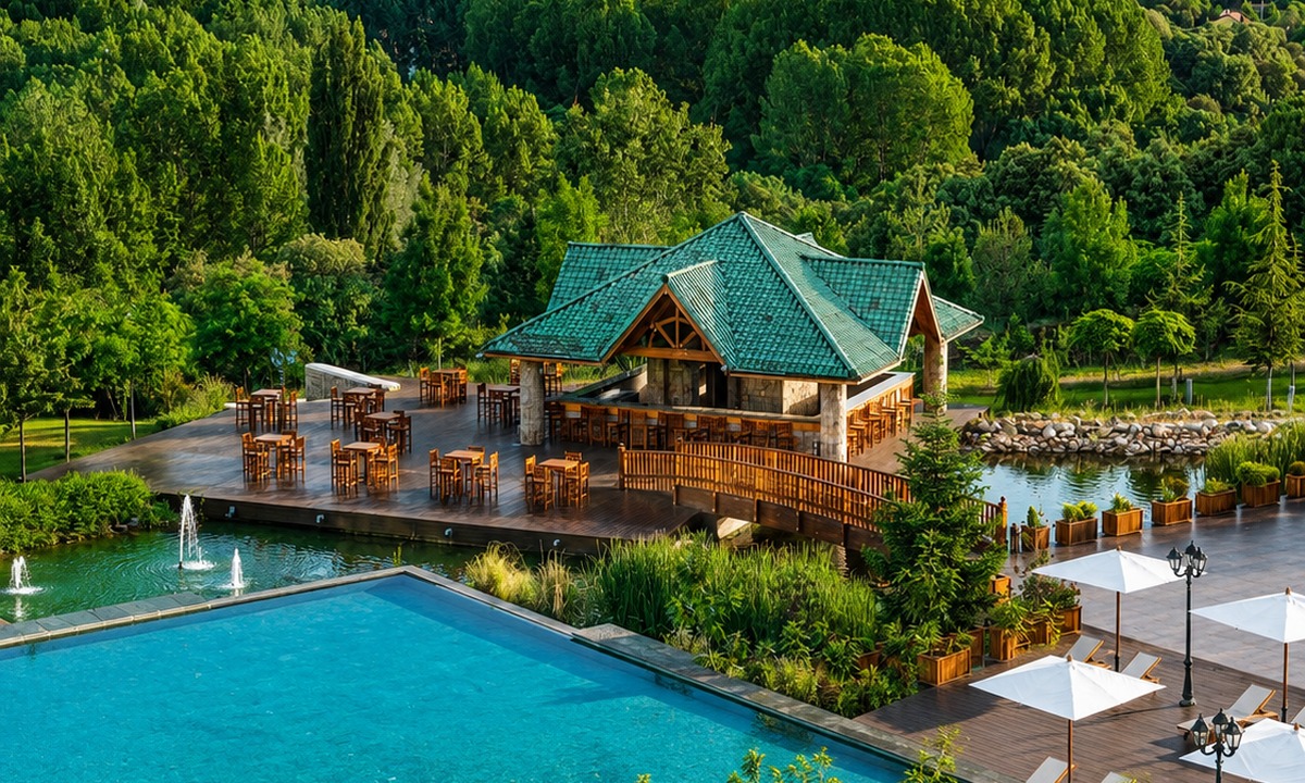
Use the town to orient a forest and upland visit.
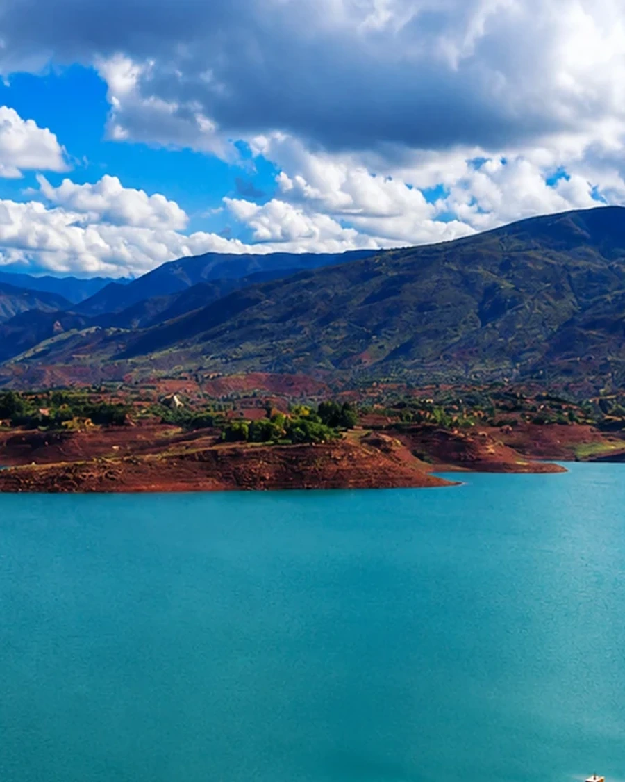
The inhabited valley is as important as the dramatic landform.
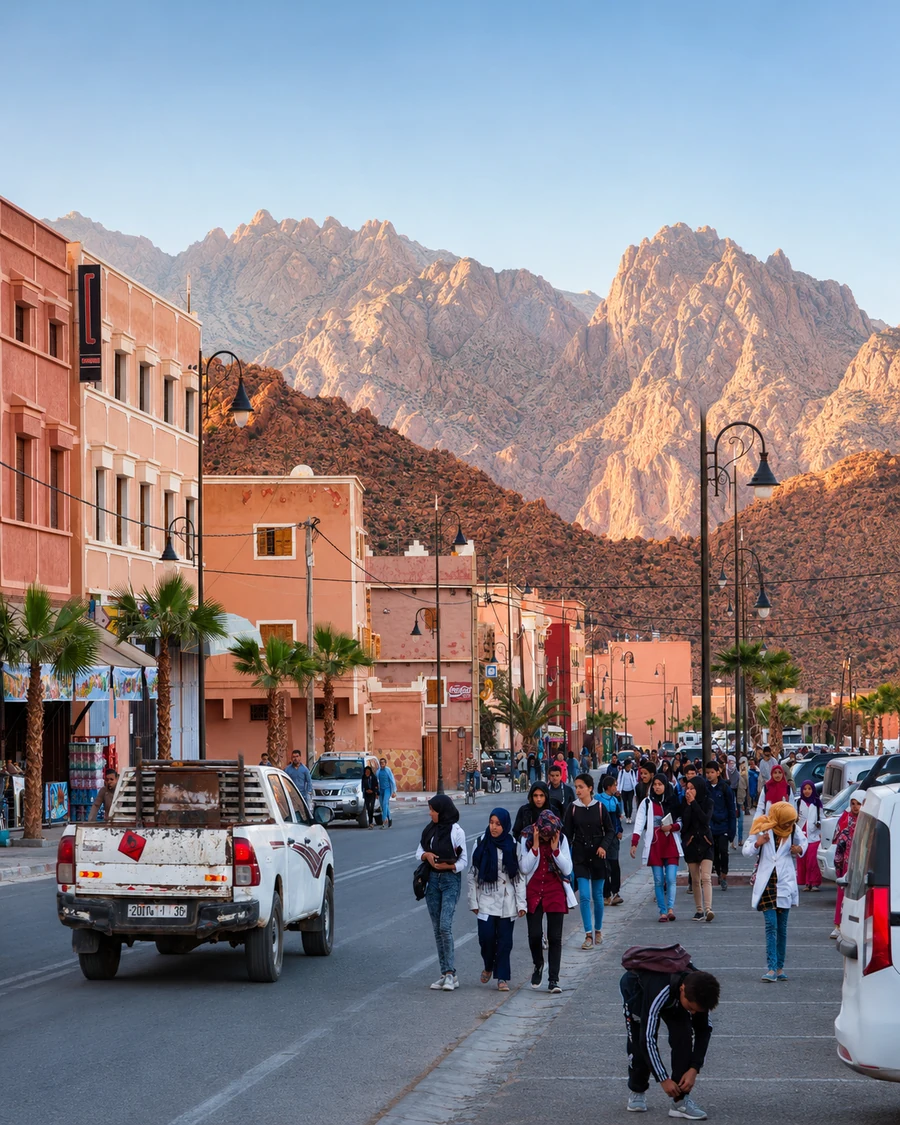
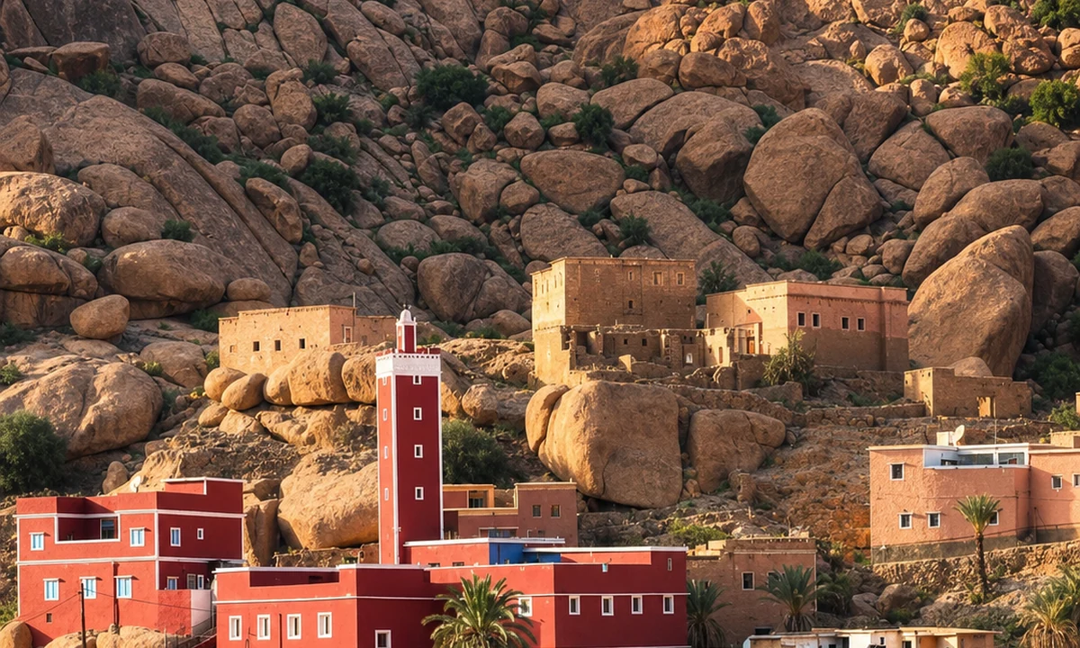
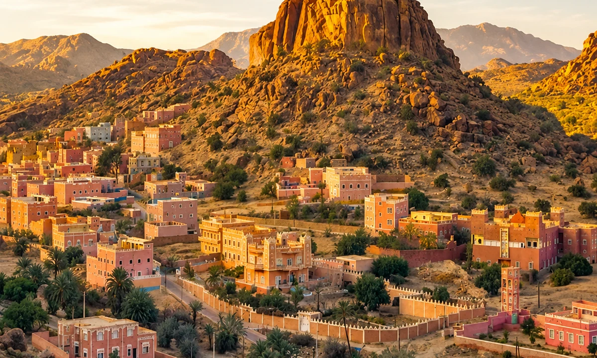
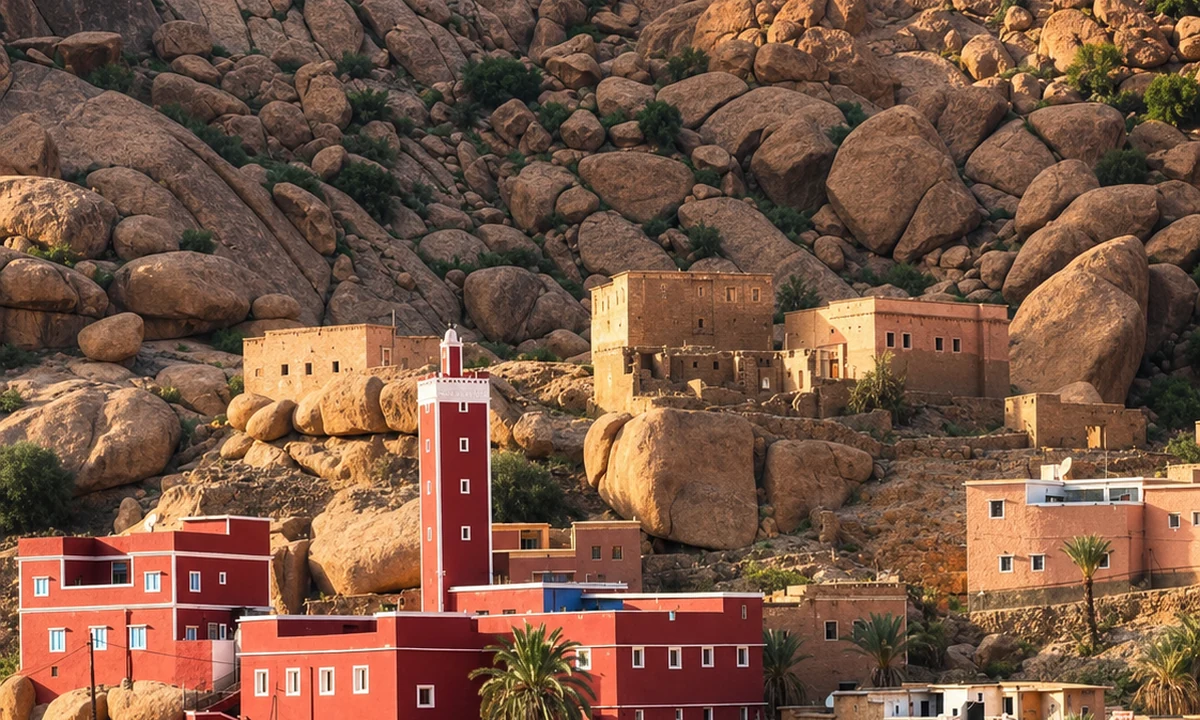
Anti-Atlas granite gives this portrait a different visual language.
Chefchaouen offers a town-based introduction to the Rif; Ifrane places a visit in the Middle Atlas; Azilal opens questions about High Atlas valleys and water; Tafraout brings Anti-Atlas rock and settlement into focus. They are alternatives across a large country, not four consecutive mountain excursions. Use a real map to understand approaches, and ask about the particular walk rather than relying on a broad destination name.
Chefchaouen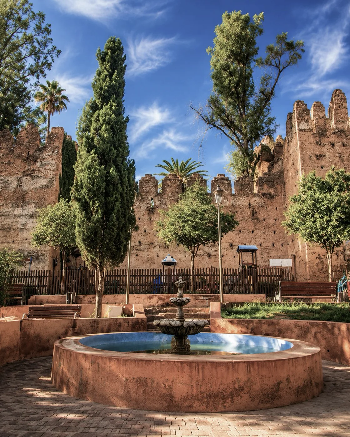 Chefchaouen
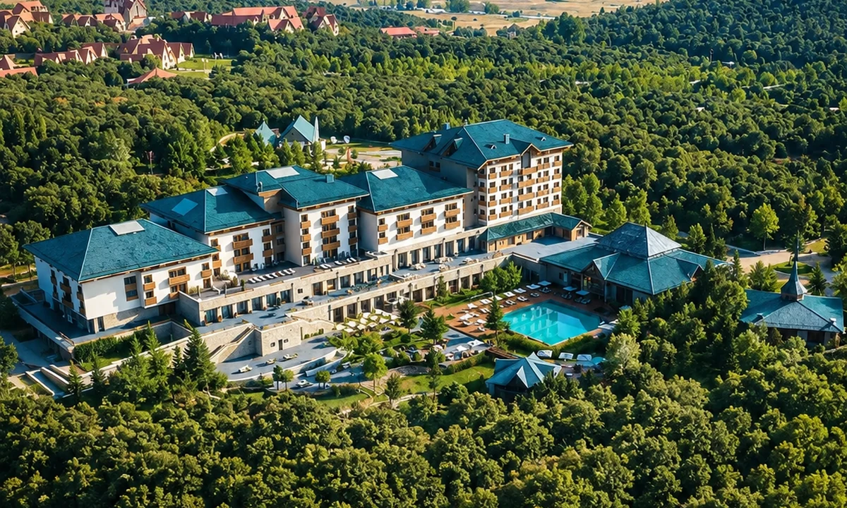 Ifrane
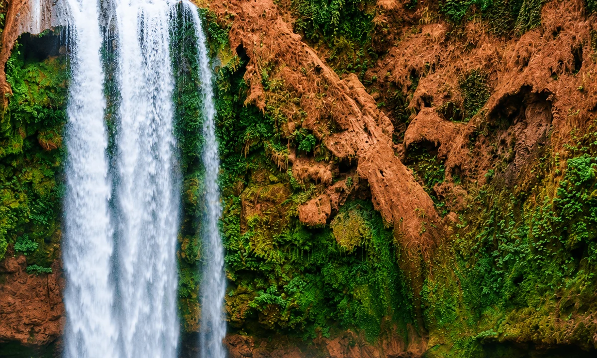 Azilal & High Valleys
 Tafraout
 Chefchaouen
 Ifrane
Look for the relationships that make each place distinct.
A short line on a map can conceal a winding road or a steep climb. Give access and return journeys their proper place in the plan. The time spent reaching a valley can also reveal changes in land use that a destination-only itinerary would miss.
Notice where buildings gather in relation to a slope, road or cultivated ground. A village is an inhabited place with work and services, not a timeless foreground. Contemporary additions can be as revealing as the architectural forms a visitor expected to see.
Follow water as a question: where is it visible, what grows nearby, and how is access organised? Do not assume every channel has the same source or function. A local explanation can connect a small feature with a much larger system.
Forest, limestone, high valleys and granite belong to different settings within this collection. Keep the place name with each observation. The comparison becomes more useful when the Rif, Middle Atlas, High Atlas and Anti-Atlas retain their own identities.
Choose a mountain journey through the Rif, Middle Atlas, High Atlas or Anti-Atlas, connecting scenery with settlement and everyday land use.
A town within the Rif
Read a Middle Atlas base
Connect the view with water and cultivation
Let rock change the pace of looking
Use these relationships to move from an impressive view towards an understanding of the place beneath it.
Elevation is only one part of how a place feels. Shade, wind, slope orientation and the chosen route also matter. Compare a sheltered town lane with open ground before deciding how ambitious the day's outdoor plan should be.
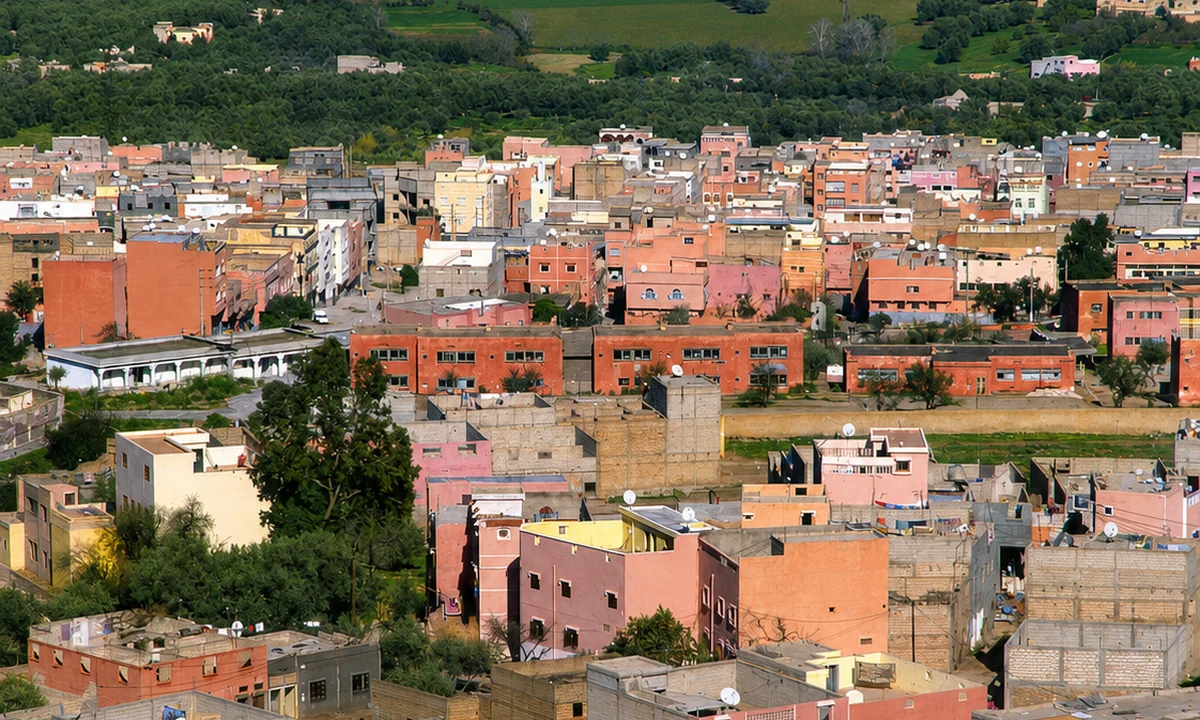
A valley can organise water, fields, settlement and roads, while a ridge offers a different view of their arrangement. You do not need to climb high to understand that contrast. A suitable public viewpoint may make the connections clearer.
A wooded landscape has ecological value and also relationships with nearby communities. Enjoy it without feeding wildlife or leaving the appropriate paths. Ask a guide to identify trees or habitat rather than attaching a familiar name to an unfamiliar species.
Terraces, orchards and irrigated plots show work invested in a landscape. They are productive spaces with boundaries. A guided explanation from an appropriate path is more informative than wandering into a field to obtain a closer photograph.
Roads connect markets, schools, services and visitors as well as viewpoints. Notice where a town provides for the surrounding area. This makes a mountain journey less dependent on a romantic idea of isolation and more attentive to contemporary life.
Snow, rainfall, heat and local land use can change which activities make sense. Establish current conditions close to the visit, and choose an alternative that still interests you. A town, museum or market can belong fully to a mountain journey.
Look from the blue streets towards the slopes that contain them.
Chefchaouen is often approached through colour, but a mountain reading begins with level and orientation. Notice where a street climbs, how a view opens between buildings and how the town meets the surrounding relief. Pause at a suitable public place and relate the route you have walked to the slopes above it. This turns the medina from a set of separate images into an inhabited arrangement of passages and spaces.
A visit farther into the Rif requires a more specific plan than simply adding 'nature' to the day. Akchour and Talassemtane refer to different places and possible routes, with changing conditions and different physical demands. Choose one with current local advice and allow for the return. Keeping a base in town can create a useful rhythm: an outdoor excursion followed by a slower day of streets, food and conversation. Neither part needs to be treated as an interval before the other.
Blue stairsKasbahPlaza Uta el-Hammam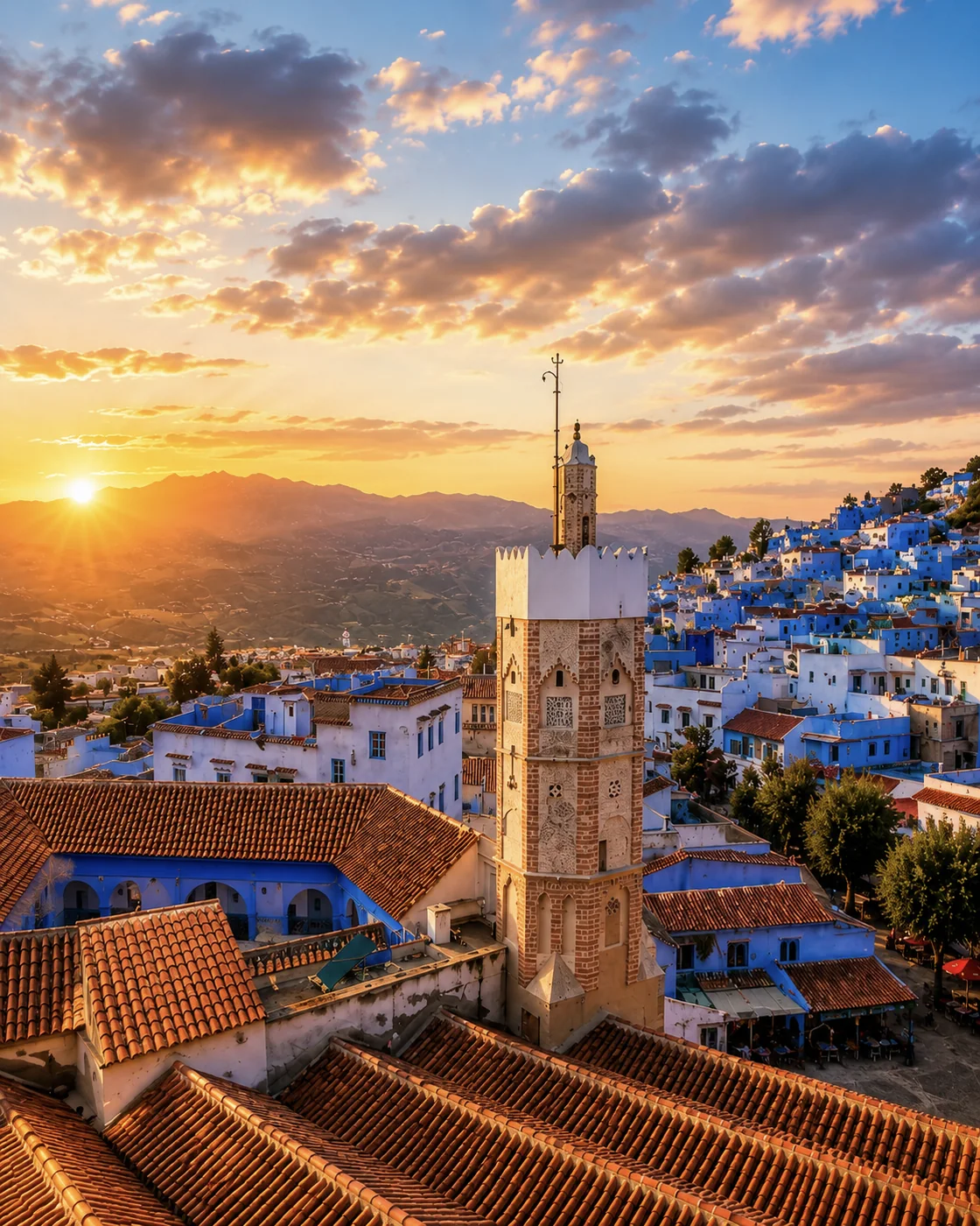 Medina sunset
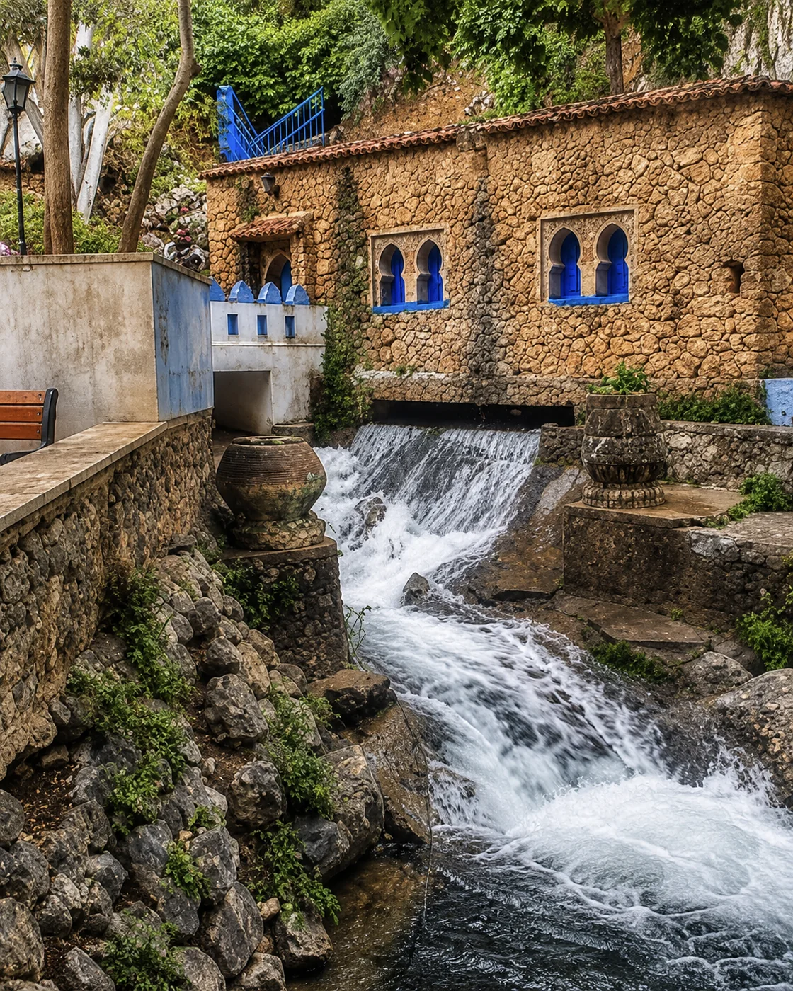 Ras El Maa
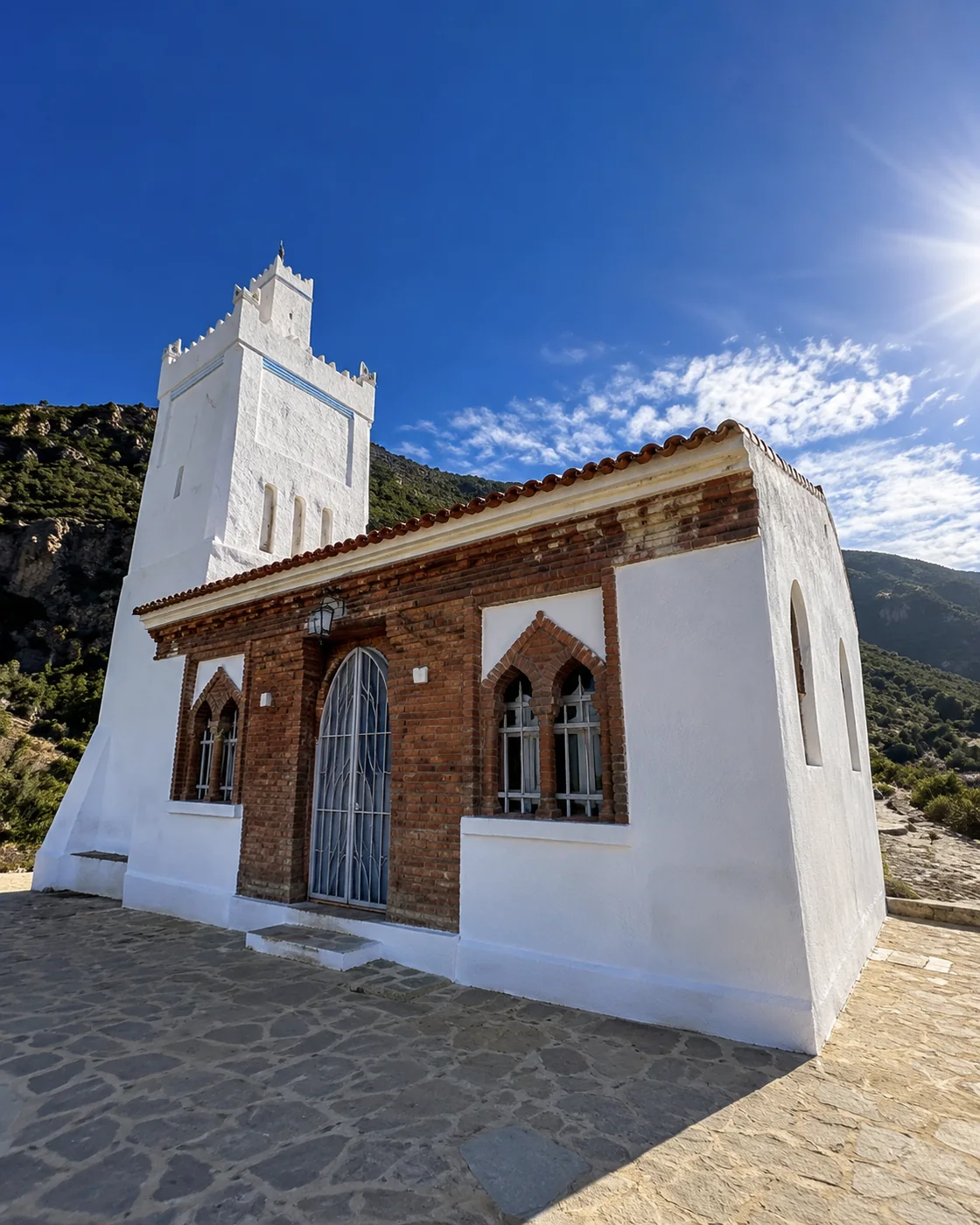 Spanish Mosque
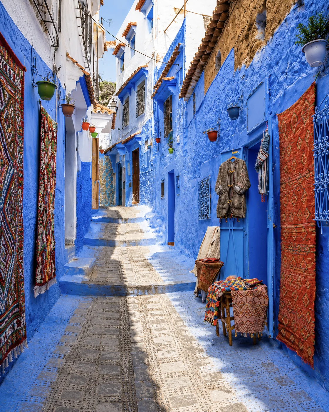 Blue laneIfraneForêt d’IfraneDayet Aoua lake
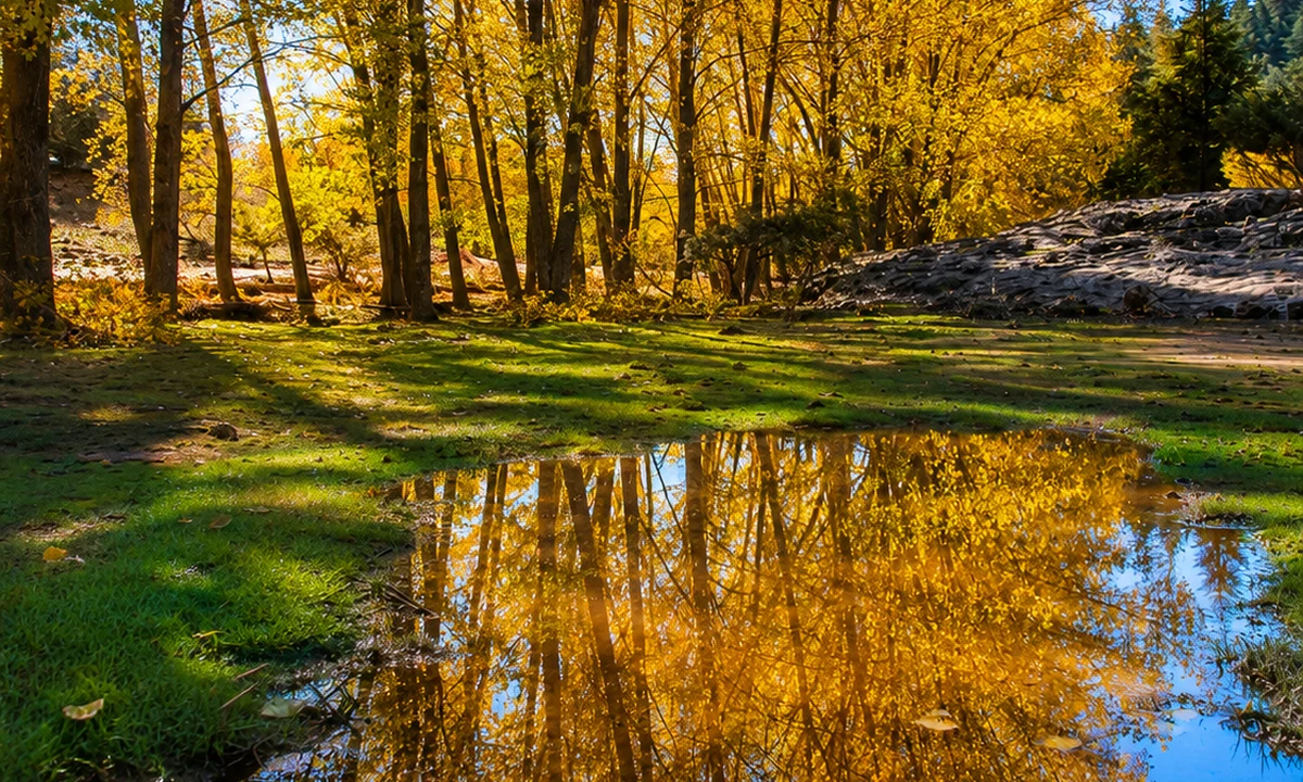 Ain Vitel river
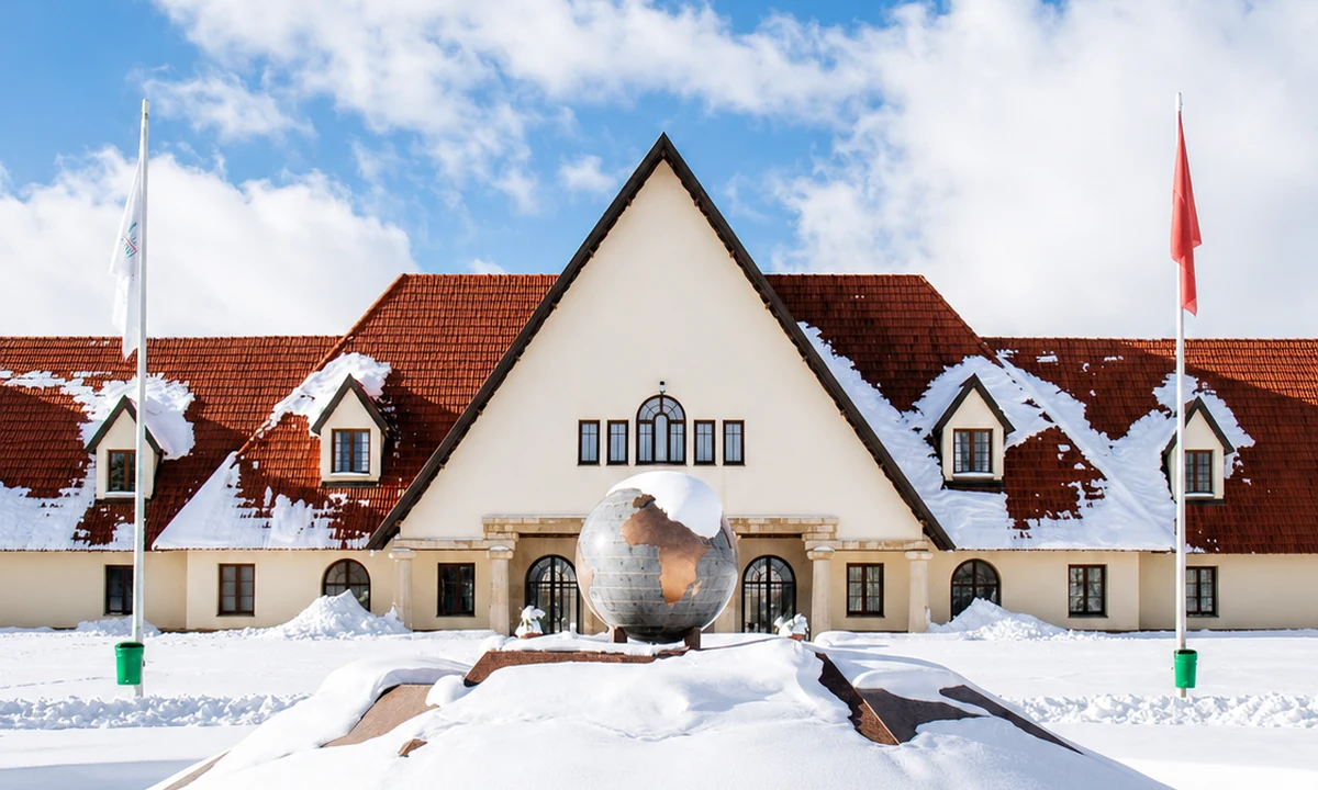 Michlifen ski station
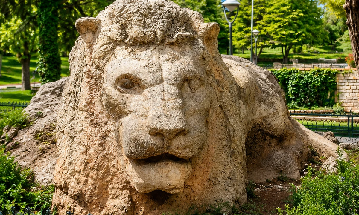 Lion of Ifrane
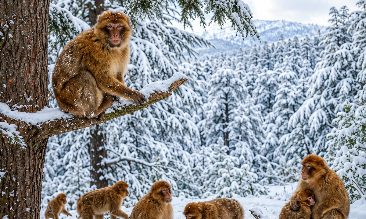 Barbary macaque forest
Use the town to orient a forest and upland visit.
Ifrane offers a different mountain atmosphere from the compact lanes of Chefchaouen. Begin with its open urban spaces and the way the town connects with the surrounding Middle Atlas landscape. The contrast itself is useful: mountain destinations need not share the same architecture, street form or visitor rhythm. A walk in town can help establish practical needs before arranging a longer outing.
For a forest visit, choose the actual route and understand where you may stop. Wildlife encounters should remain encounters with wild animals, with no feeding or pressure for a close photograph. A local guide can help explain what you are seeing beyond the best-known image of cedar woodland. Seasonal conditions may change the experience substantially, so avoid assuming that a green summer photograph describes a visit at another time. Nearby towns such as Azrou can add market and service connections to the landscape story.
The inhabited valley is as important as the dramatic landform.
An Azilal-based journey can shift attention from a single celebrated natural feature towards the wider High Atlas setting. Look for the relationship between roads, settlement and cultivated ground. A valley is not empty space between mountains: it can gather the activities and infrastructure that make living there possible. Asking how a visible plot is watered or how a settlement connects to its market gives a view a more precise human context.
FAO's account of Atlas mountain oasis systems offers a useful wider reference for agriculture and water management, but it should not be applied automatically to every valley. Establish what is specific to the place you visit. A waterfall outing, village walk and longer mountain route require separate decisions about access and effort. Choose a knowledgeable local guide when the route or interpretation needs one, and leave enough time to hear an explanation instead of treating every stop as a photograph followed by immediate departure.
AzilalOuzoud WaterfallsAït Bouguemez Valley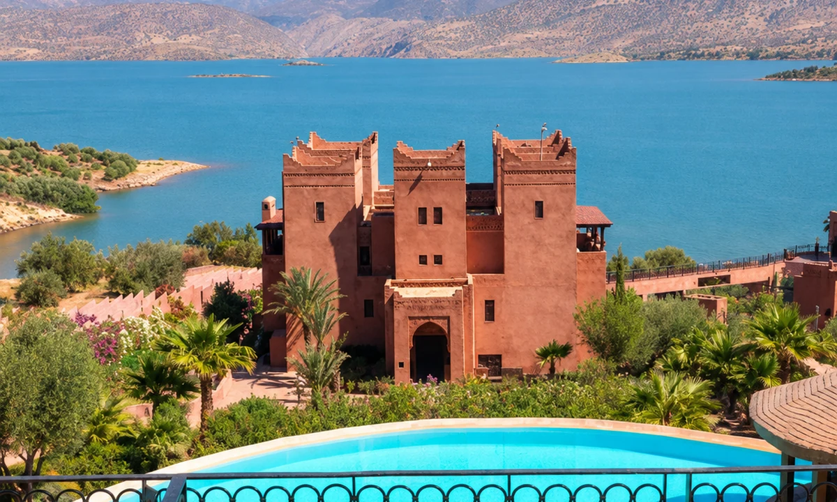 Bin El Ouidane lake
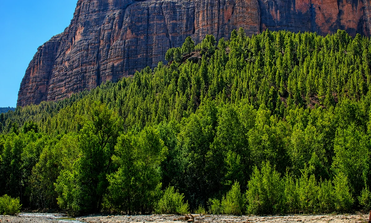 Imi n’Ifri Natural Bridge
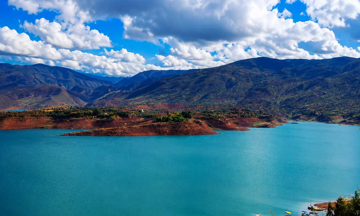 M’Goun Geopark
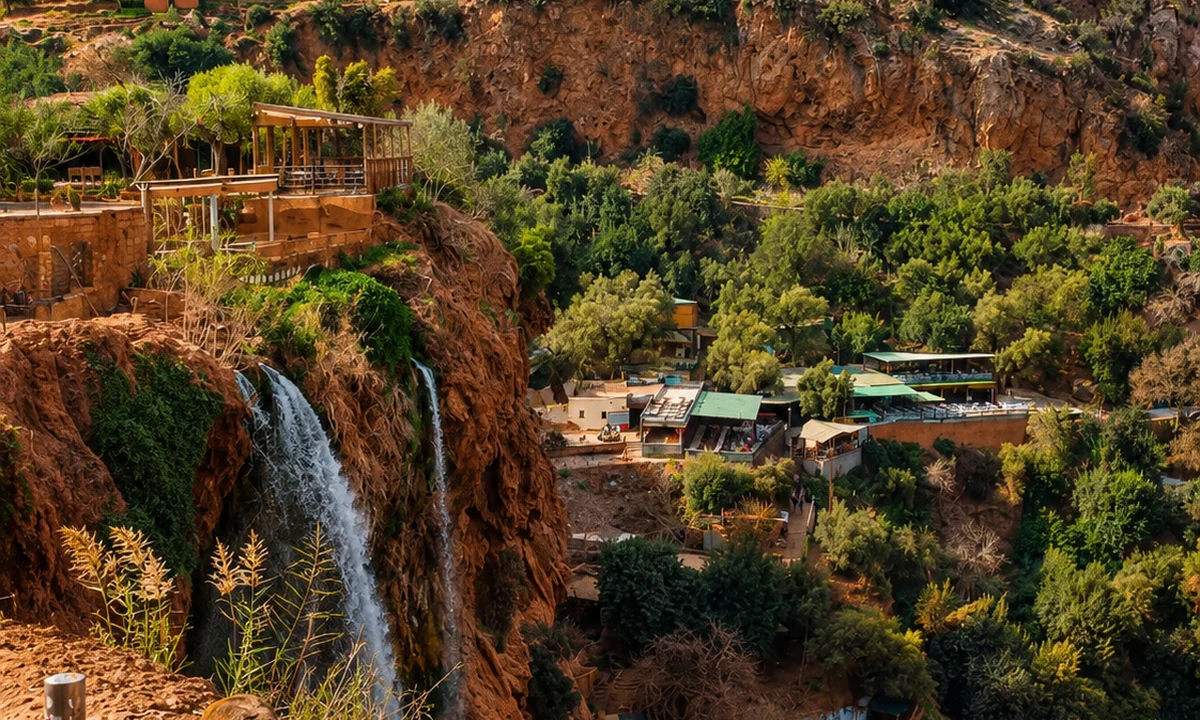 Zaouiat Ahansal and TaghiaTafraoutAnti-Atlas granite landscapesAit Mansour Valley
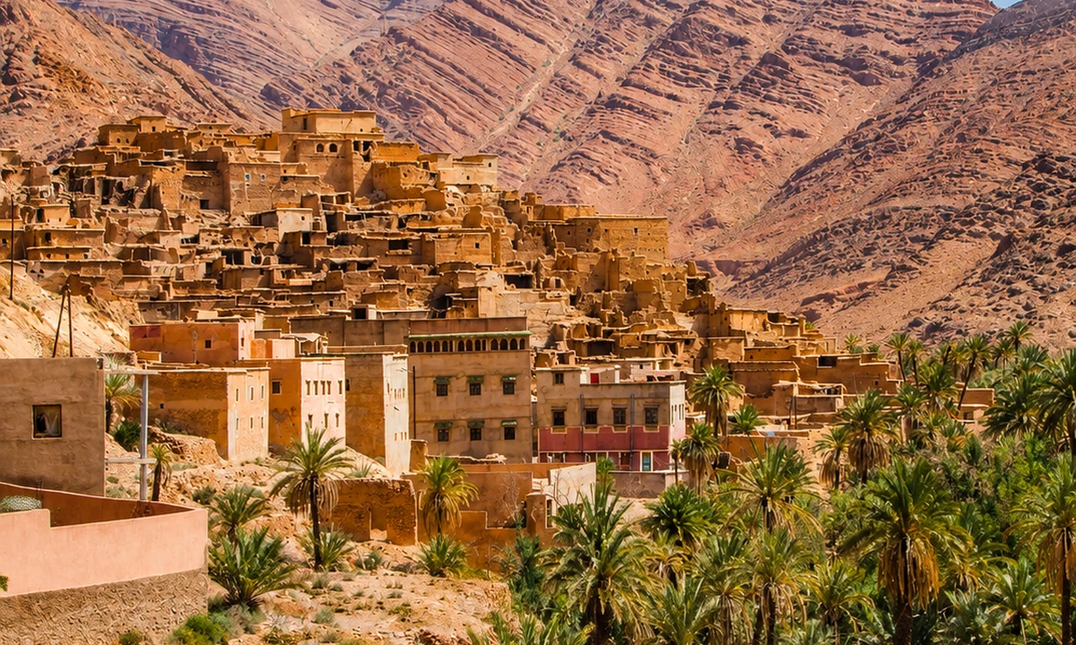 Ameln Valley
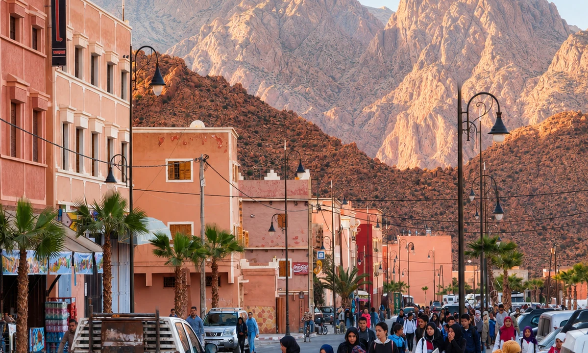 Jbel Lkest
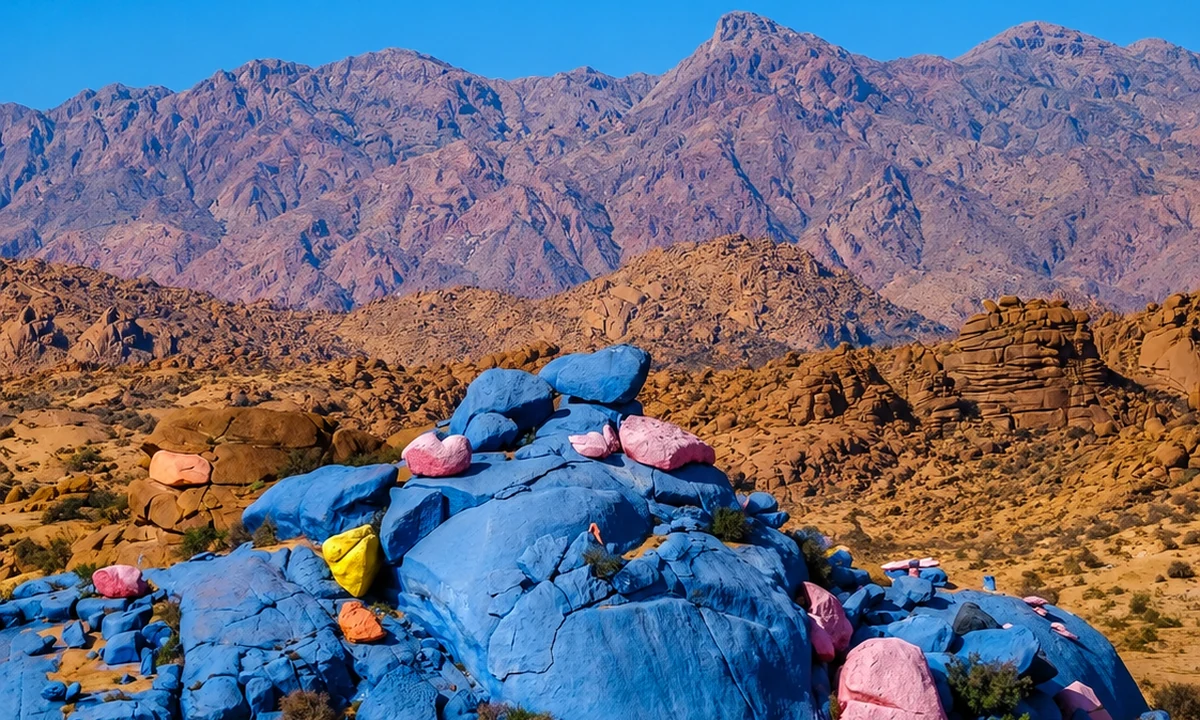 Painted Rocks
 Almond and argan landscapes
Anti-Atlas granite gives this portrait a different visual language.
Around Tafraout, rock forms and the placement of settlement offer a strong contrast with a forest-centred Middle Atlas journey. Begin by observing scale: a building, tree or path helps make the size of an outcrop understandable. Then look at the spaces between forms, where routes and everyday uses become visible. The landscape rewards patient looking without requiring every visit to become a strenuous ascent.
A route through nearby valleys should be planned with local knowledge and a clear sense of return. Public viewpoints, inhabited places and cultivated ground have different kinds of access. Let the visit include town life as well as the landscape: a meal, a market or a conversation about work can place the granite scenery within a contemporary setting. Tafraout belongs to an Anti-Atlas journey of its own; combining it with northern mountain destinations requires time that a visually compact collection of images cannot convey.
Chefchaouen · Medina sunsetIfrane · Ain Vitel riverAzilal & High Valleys · Bin El Ouidane lakeTafraout · Ameln ValleyChefchaouen · Ras El MaaIfrane · Michlifen ski stationAzilal & High Valleys · Imi n’Ifri Natural BridgeTafraout · Jbel LkestChefchaouen · Spanish MosqueIfrane · Lion of IfraneAzilal & High Valleys · M’Goun GeoparkTafraout · Painted RocksCompare how a settlement meets a slope, where a path enters it and how outside space is used. Materials alone cannot explain a building: access, maintenance, household needs and later changes matter too. Avoid treating every mountain house as the expression of one fixed tradition. The Altitude & Villages layer develops this reading through settlement, cultivation and movement, keeping the inhabited landscape at the centre.
Steps, views, Rif routes
Town, forest, upland routes
Water, cultivation, settlement
Granite, valleys, town life
Choose the Rif, Middle Atlas, High Atlas or Anti-Atlas as a starting area. The schematic connects ideas across those settings and does not represent a short driving route. Build the actual plan from a suitable base, current road information and activities matched to the group. Leaving an unscheduled day can make weather changes easier to absorb while allowing an unexpected local interest to develop.
ChefchaouenTown and surrounding reliefIfraneMiddle Atlas settingAzilal & High ValleysValley systemsTafraoutAnti-Atlas rock and settlementA few considered choices make the connections between these places more useful.
A town walk, a short maintained path, a guided valley excursion and a summit route are not interchangeable. Describe the actual plan to everyone travelling, including the return and the expected terrain. This makes it easier to choose an experience that the whole group can enjoy instead of discovering a mismatch after arrival.
Ask what a place, crop or landscape feature is called and who can explain it. Broad mountain labels hide considerable local variation. Keep the source of an explanation in your notes and resist extending it to every village you later see. A small, accurate account is more valuable than a sweeping claim about mountain life.
A meal can open a conversation about cultivation and seasonal availability. Ask about the actual ingredients rather than presuming that everything on a menu was grown nearby. The connection between a market town and its surrounding countryside is interesting even when it includes goods from farther away.
Historical and geographical references reviewed in September 2026. Route pairings and looking suggestions are Exotic Morocco editorial guidance. Check current access and transport arrangements before travelling. Existing regional library imagery is retained; photographs and illustrations do not establish present-day access or conditions.
Open the individual place guides for local context and a more detailed visit. Return to Regions to compare other landscapes and cultural connections.
Look from the blue streets towards the slopes that contain them.
Use the town to orient a forest and upland visit.
The inhabited valley is as important as the dramatic landform.
Anti-Atlas granite gives this portrait a different visual language.