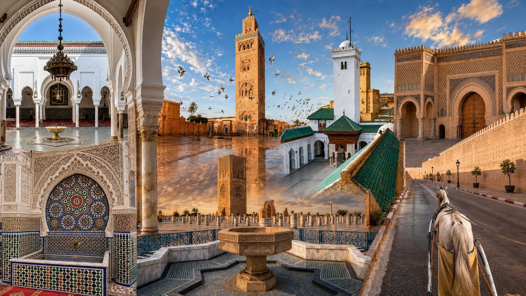
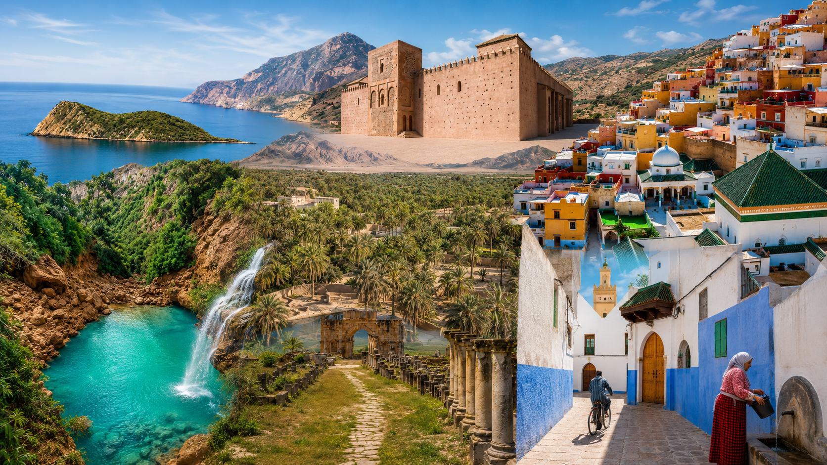
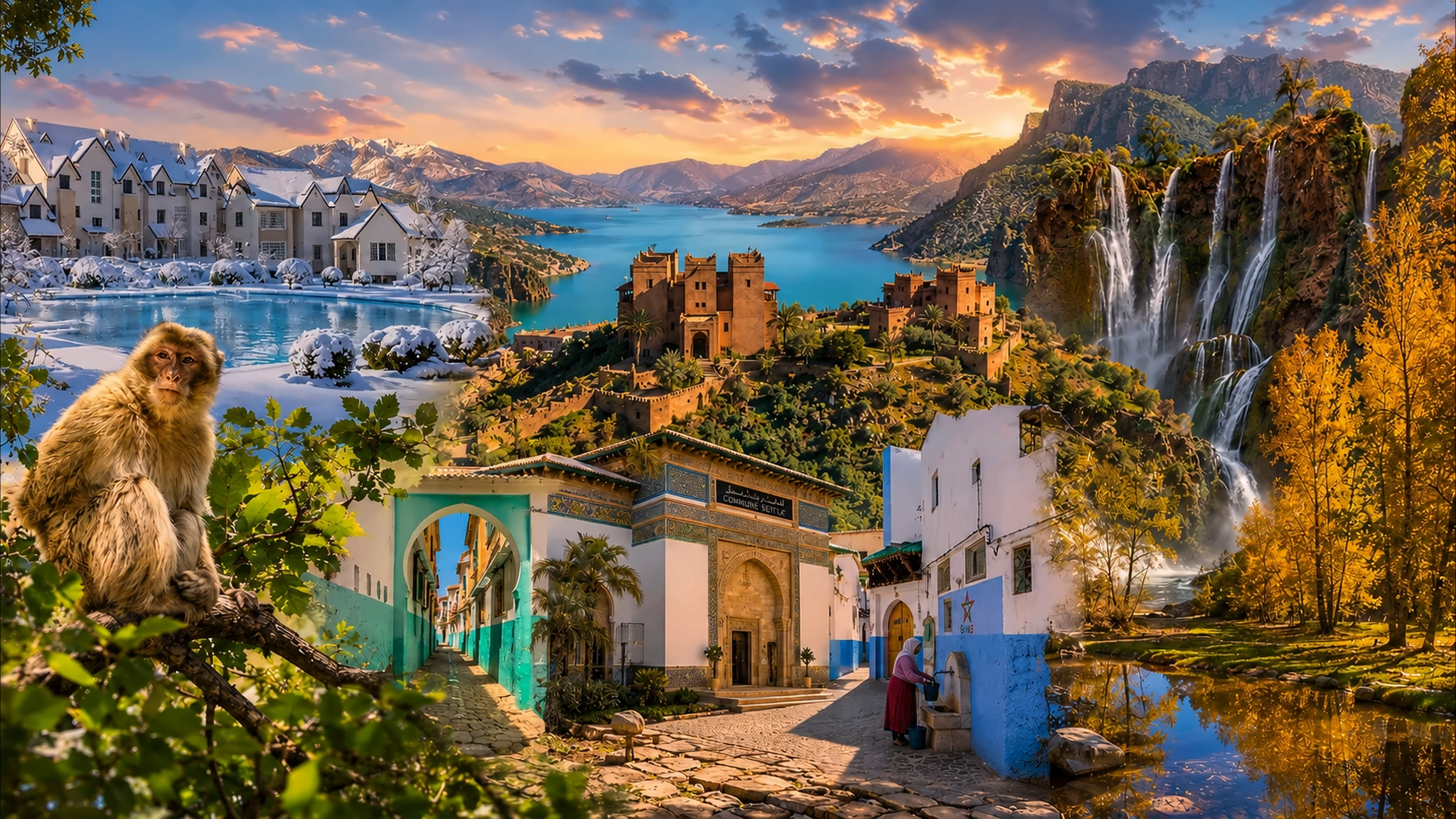
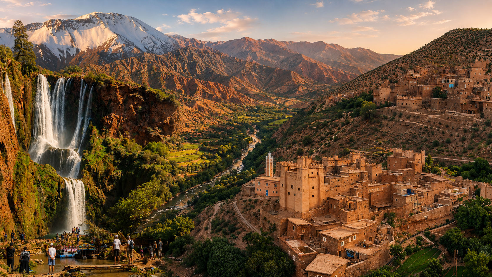
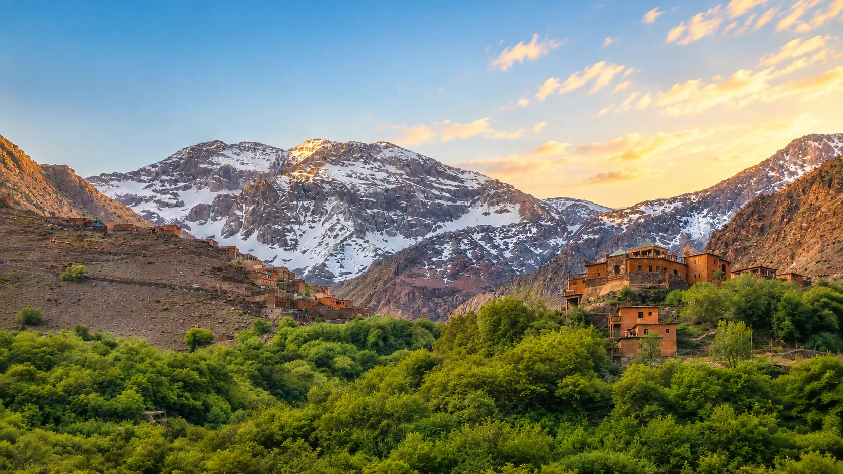
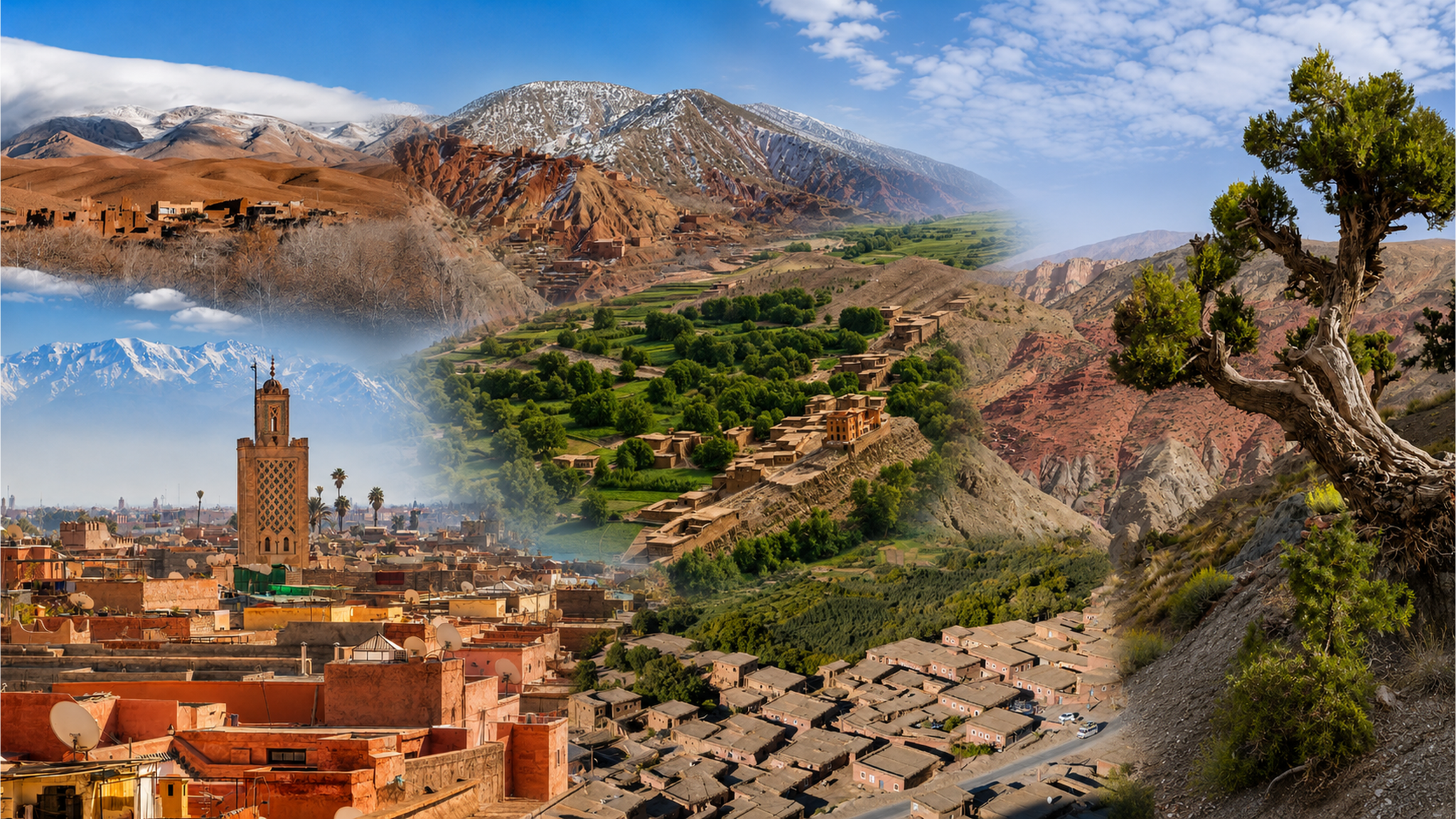
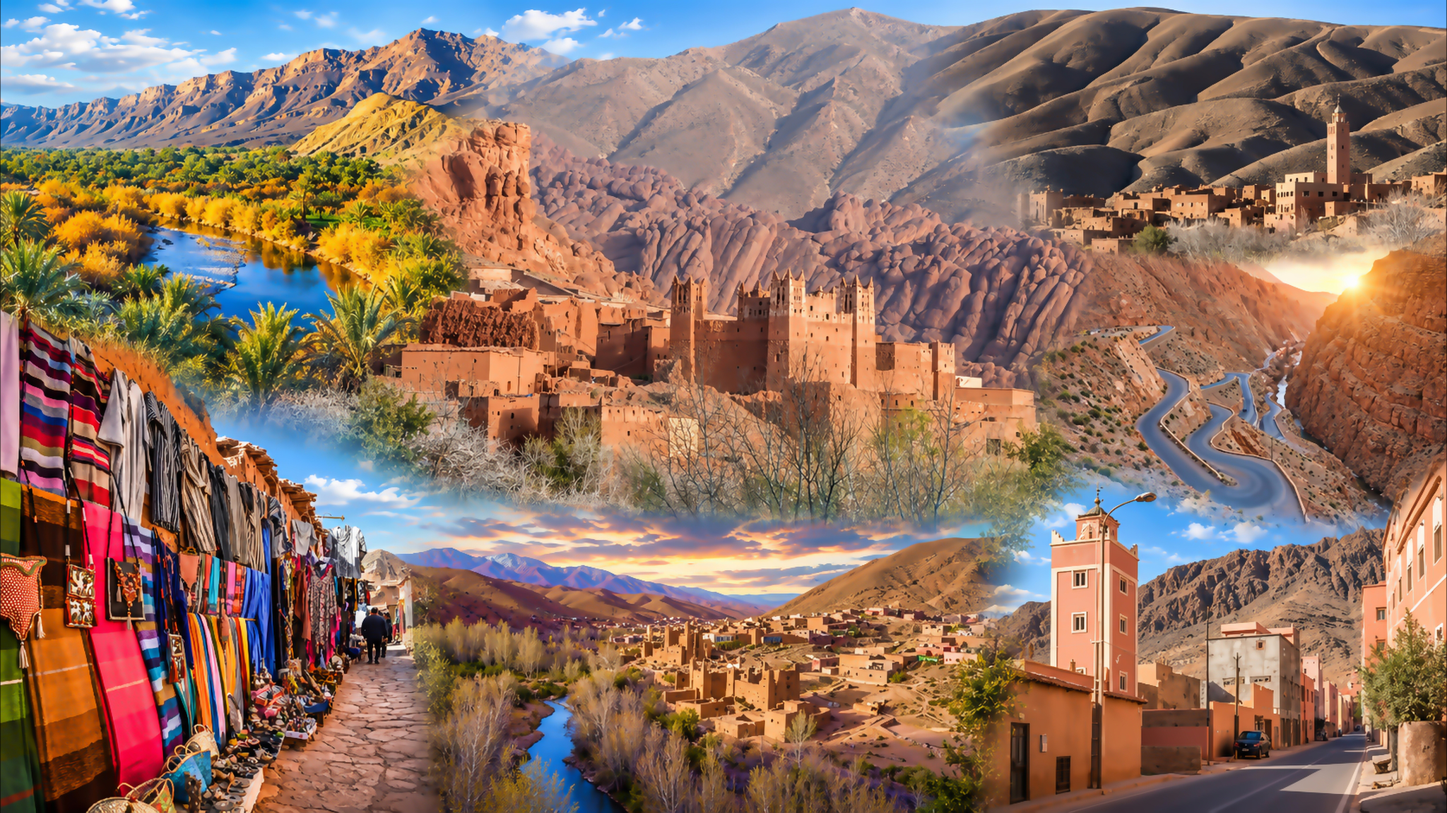
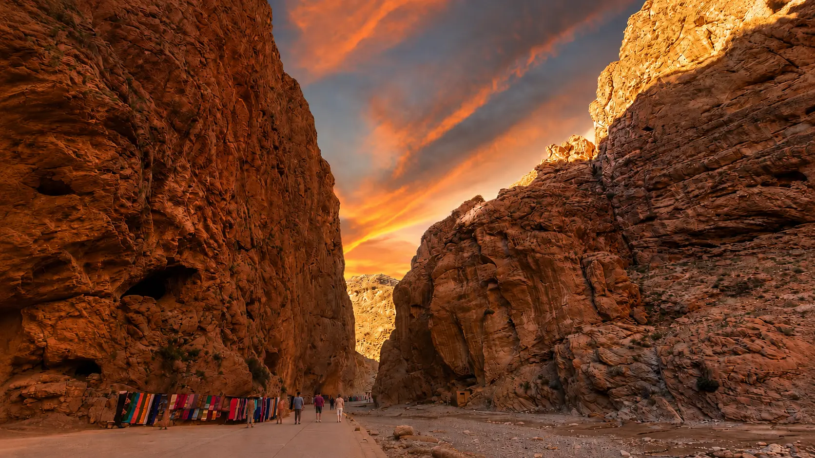
02 / The deeper contextFollow a route.
Watch the relationships change.
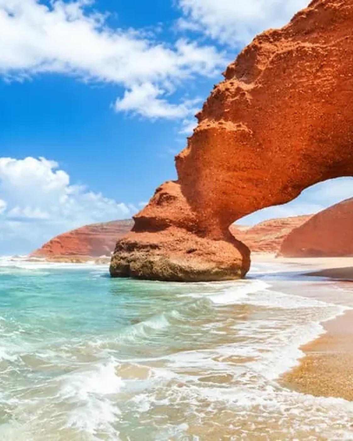
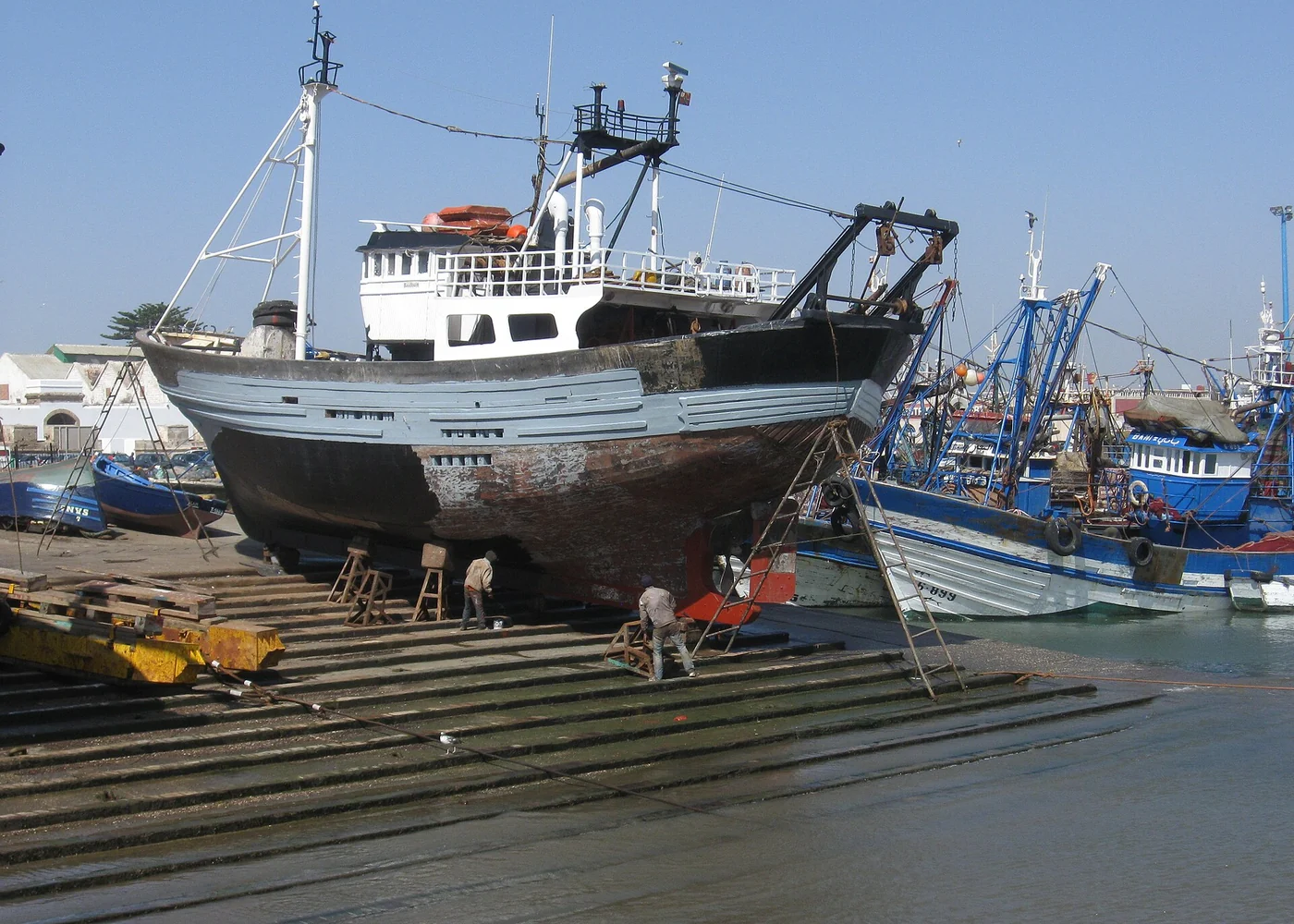
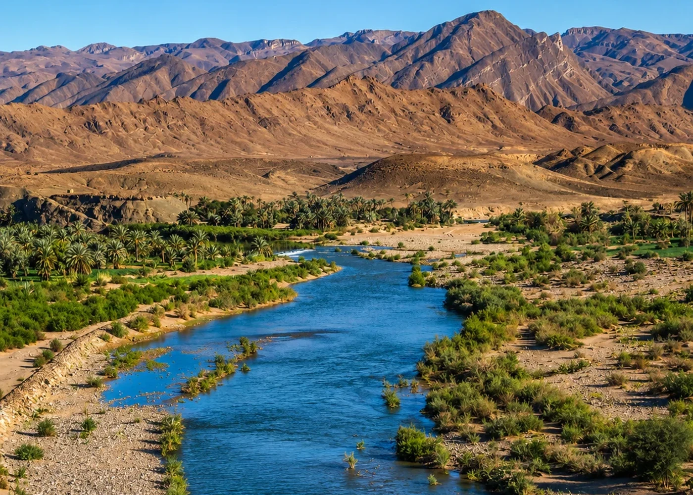
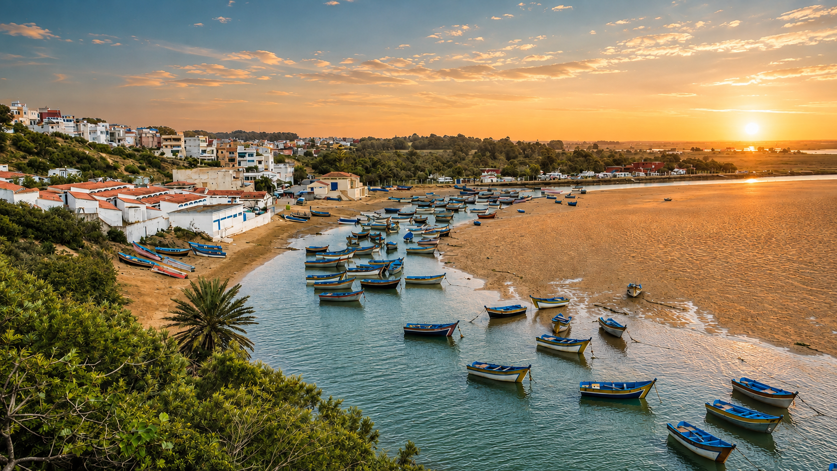
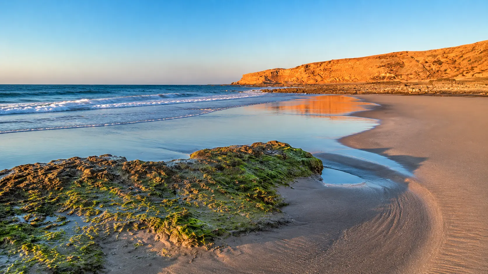
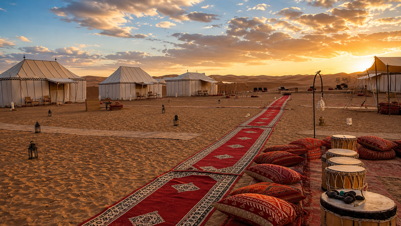
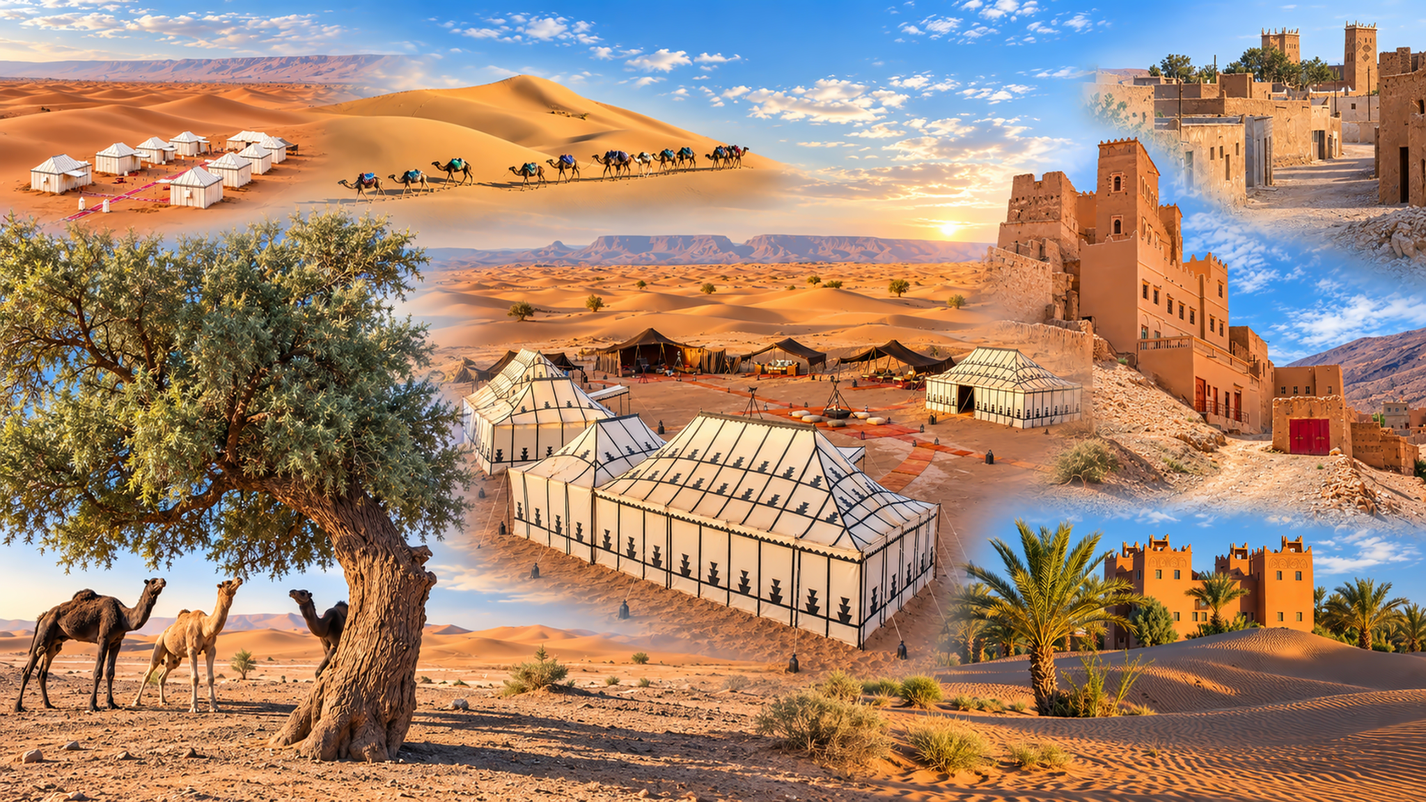
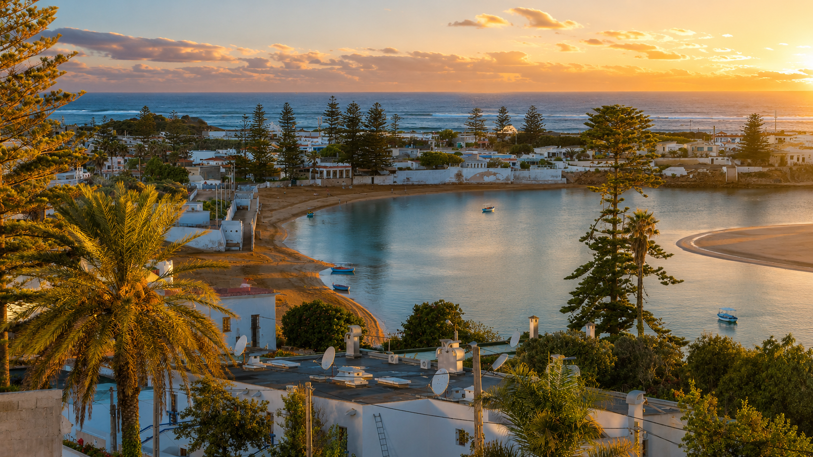
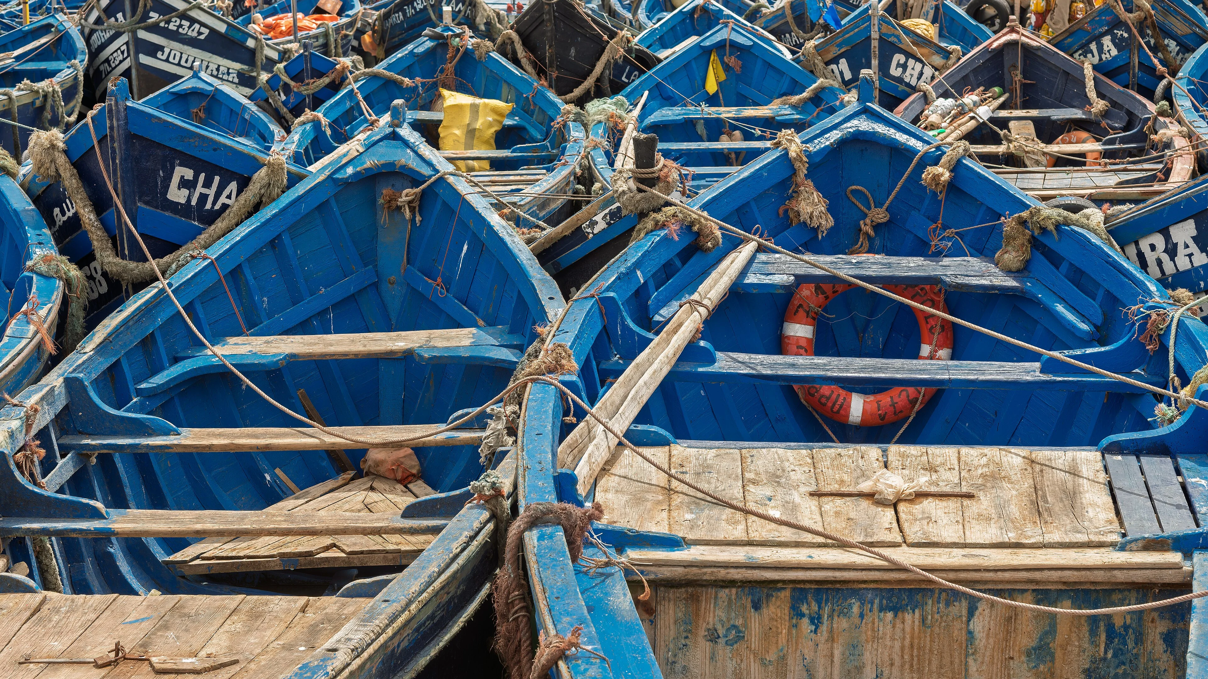
This page connects geography to a journey. Geography of Morocco introduces the physical systems; Regions Explained separates administrative and cultural maps. Here, the task is to read what happens between destinations. A coast, a mountain corridor and an oasis are not disconnected postcards. Roads, water, markets and migration link them.
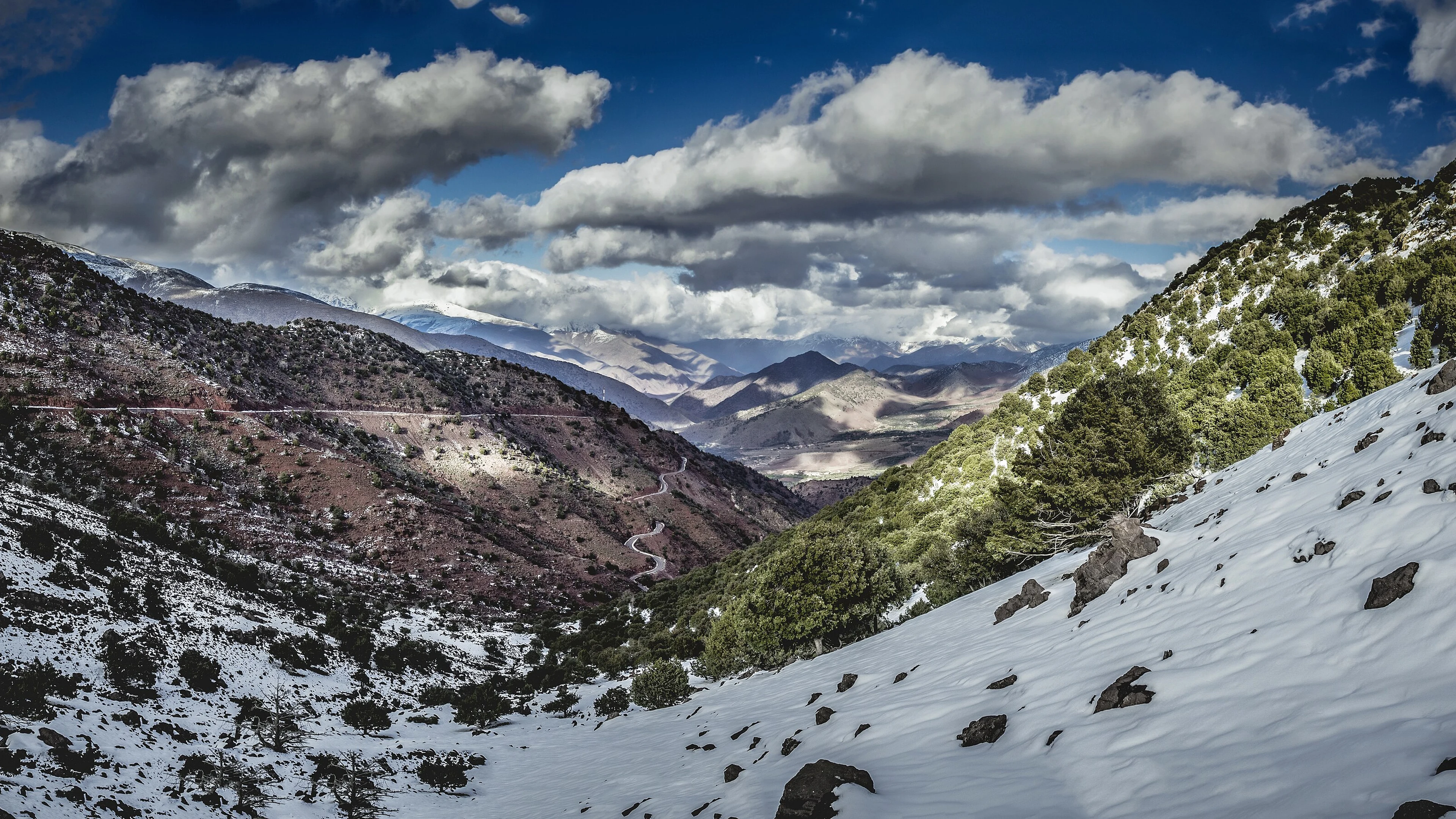
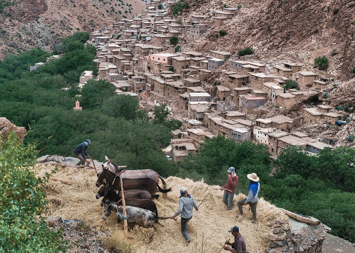
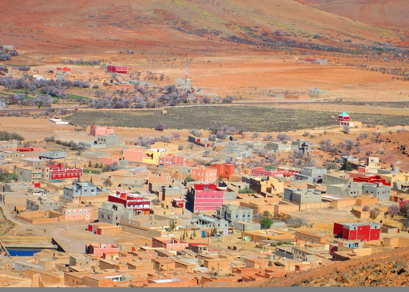
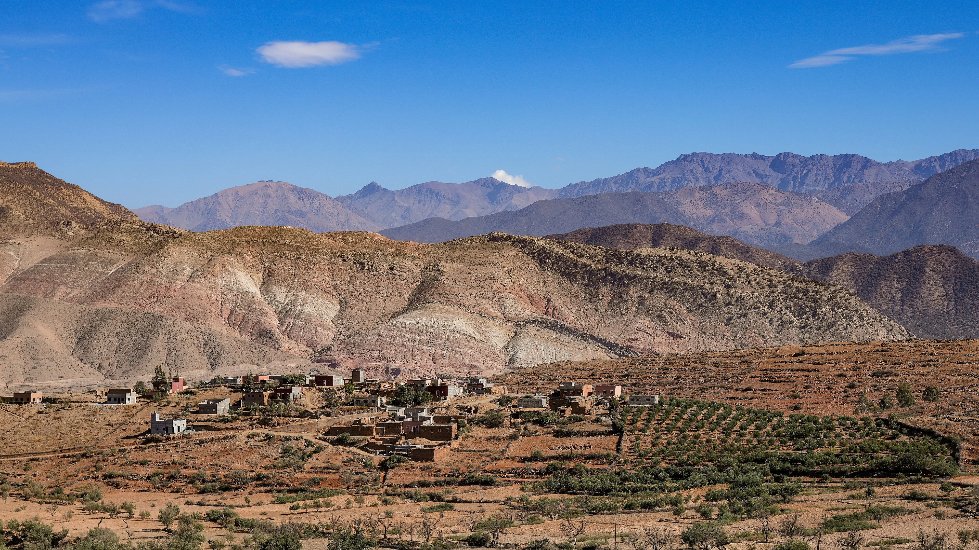
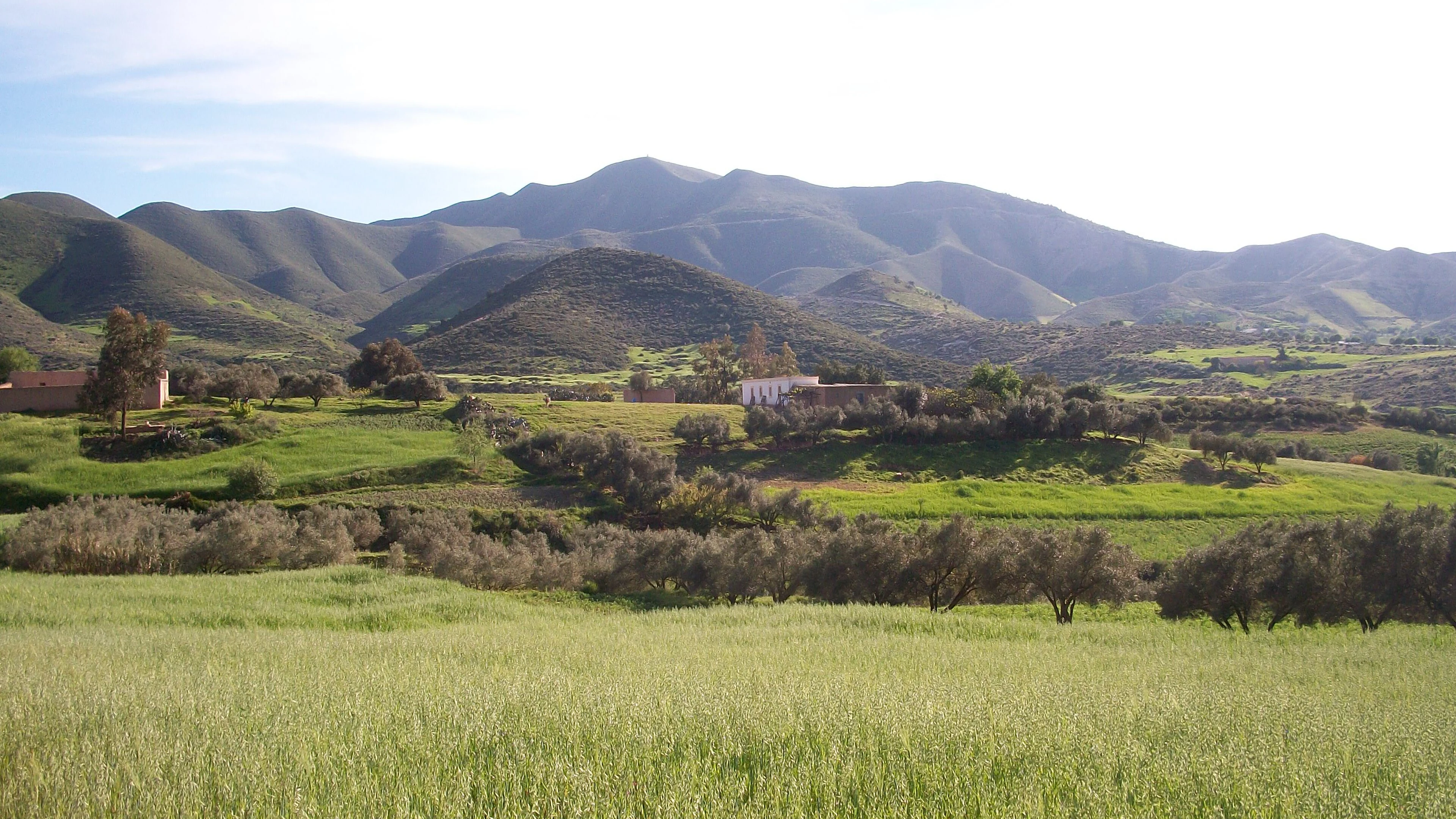
A useful journey has transitions as well as highlights. Notice where dense settlement opens into fields, where a road begins to climb, or where the crops change. Such observations turn travel time into part of the learning. They also help explain why a seemingly short distance can involve a substantial change in climate, infrastructure or pace.
Keep the scale flexible. A national map gives orientation, a regional map reveals connections, and a local walk shows details that neither can represent. Moving between these scales is more informative than collecting a large number of stops. A slower route can reveal more if you understand why the places belong together.