Why Ziz Valley matters
An oasis shaped by water and work.
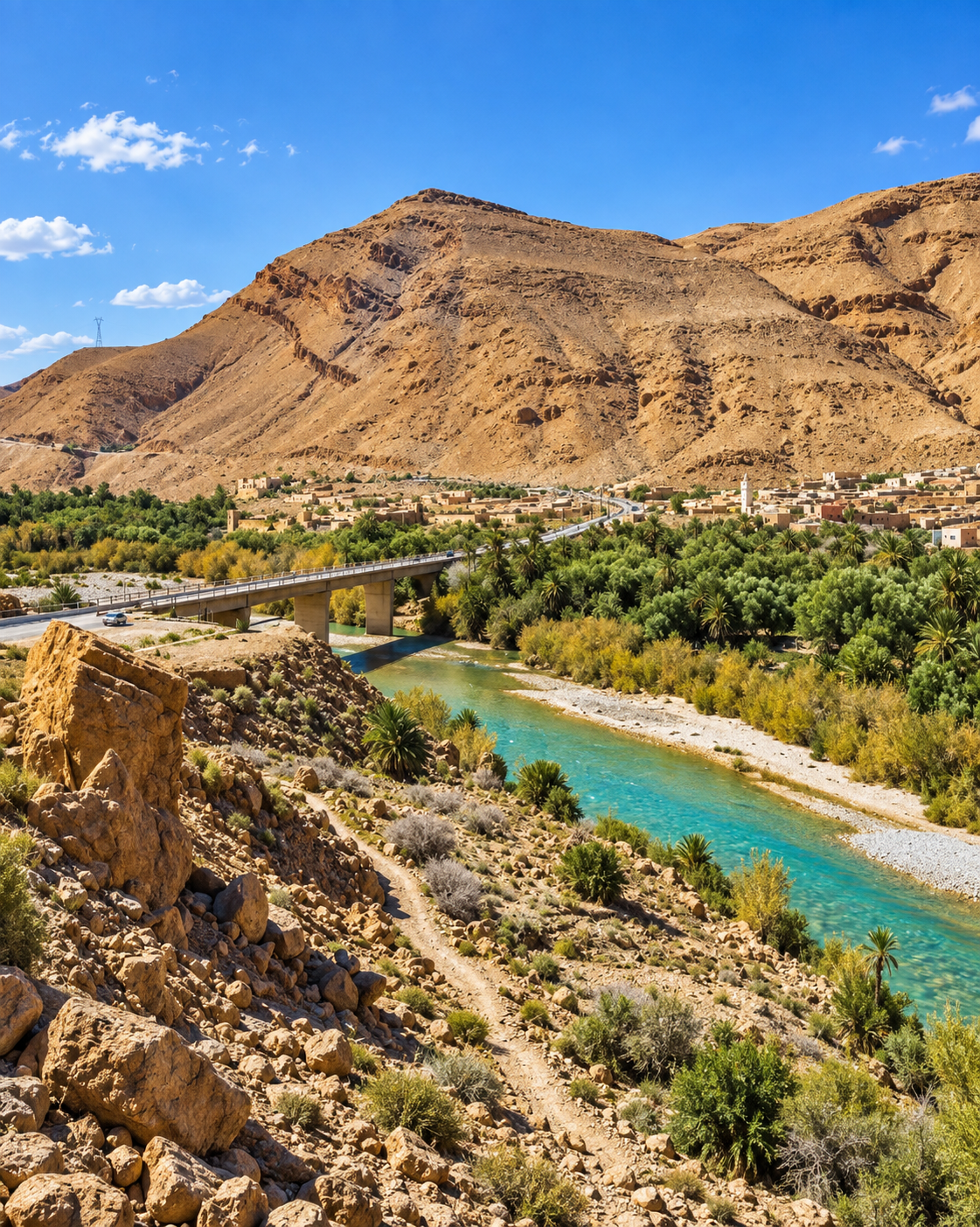
The Ziz Valley makes the relationship between a river and settled life unusually visible. Beyond Errachidia, cultivated ground gathers along the valley floor, while bare slopes reveal how sharply conditions change at its edges. The contrast is striking, but its meaning lies in the fields, channels and neighbourhoods that occupy this narrow, usable land.
This guide focuses on the palm-grove country around Aoufous, between Errachidia and Erfoud. The wider Ziz extends into the High Atlas to the north and toward the Tafilalet to the south. Its northern gorges, the reservoir near Errachidia and the lower oasis reaches belong to the same river system, yet they offer different landscapes and require separate stops.
The palms form part of an agricultural landscape. Their value includes food production, shade and the conditions they create around cultivated plots. Looking at an oasis as farmland changes the visit: a narrow path may serve a field, a low bank may carry water, and an open-looking space may still be someone’s place of work.
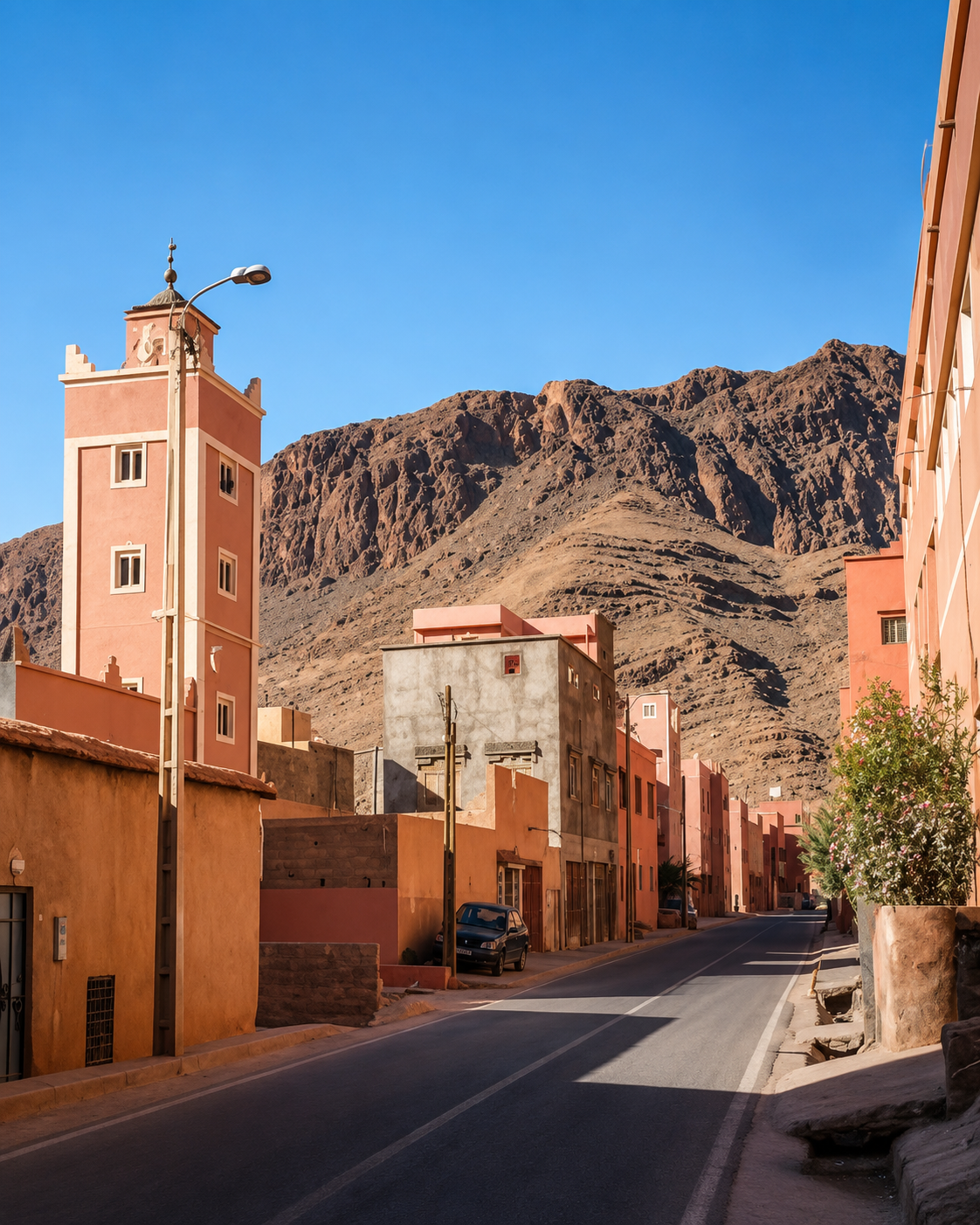
Settlements add another layer. Earthen walls, more recent construction, roads and bridges appear alongside the groves. The valley is neither empty countryside nor an unchanging historical scene. Its buildings and infrastructure show how people continue to live here, move between villages and towns, and adapt the places they inherit.
For visitors, the strongest reason to stop is this connection between landscape and everyday purpose. A viewpoint establishes the geography; a conversation can explain what a photograph cannot. Ask about the plot in front of you, the crops currently growing or the route of a nearby channel. Specific questions keep the encounter grounded in this particular place.
Regional orientation: Moroccan National Tourism Office. Oasis context: FAO on farming landscapes in Drâa-Tafilalet. Local reading: Aoufous and its palm groves.