Skip to learning
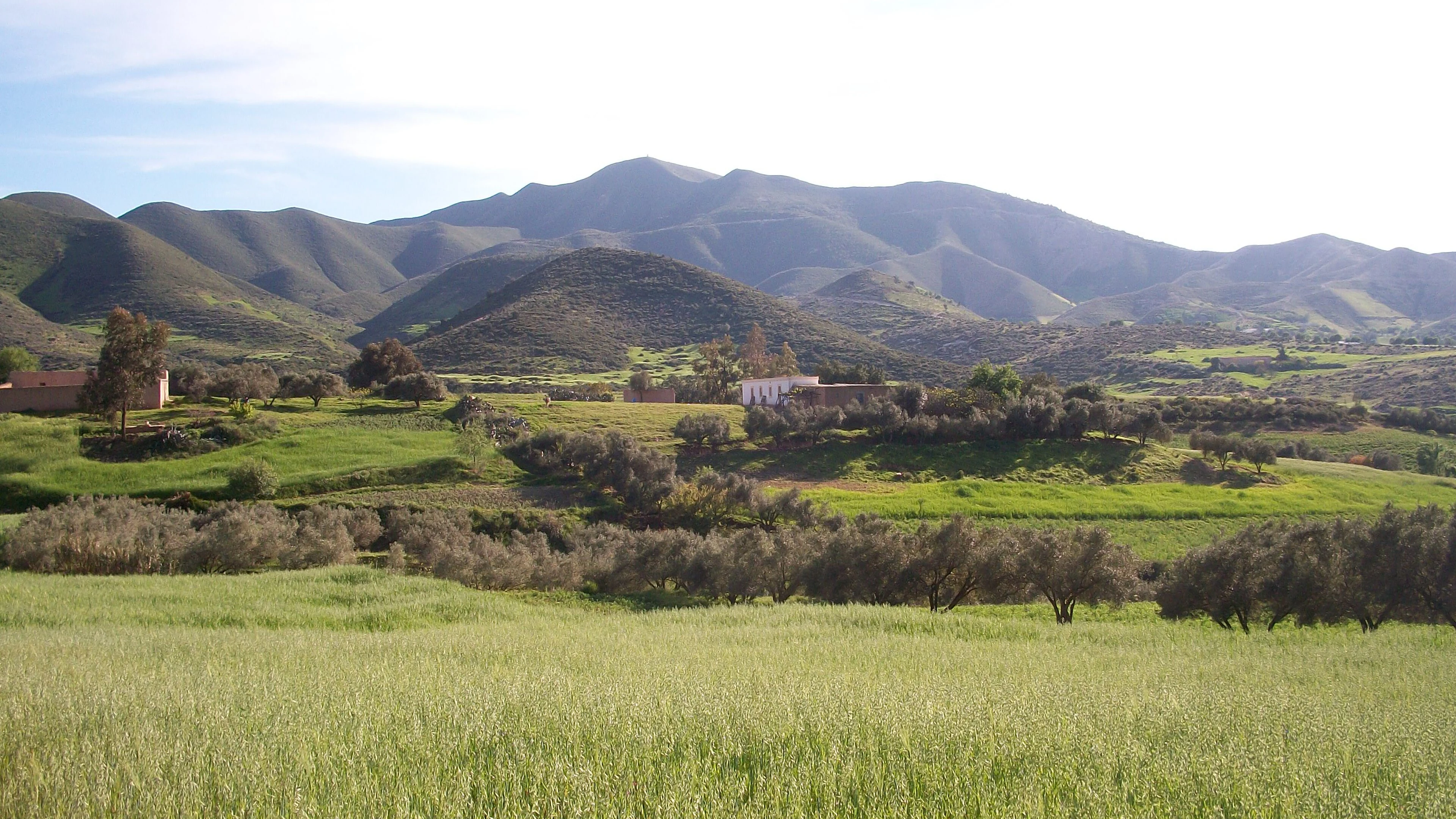
Spring fields and mountains in the Rif near Nador: a landscape name crosses administrative distinctions.
Names, boundaries & belonging

Regions Explained

Rif, Atlas, Souss, imperial cities, administrative regions: understand what these names describe and why their boundaries do not always align.

Exotic Morocco · 11 minute read
01 / A way into the story

One place can belong to several maps.

A region may be an administrative unit, a landform, a historical area or a useful grouping for travel. The same city can belong to all four at once. Confusion starts when a convenient travel label is mistaken for an official boundary.

Morocco’s official administrative framework has twelve regions. Exotic Morocco also uses editorial groupings such as Imperial Morocco and the Atlantic Coast to help readers explore. Those collections are routes into the country, rather than an alternative administrative system.

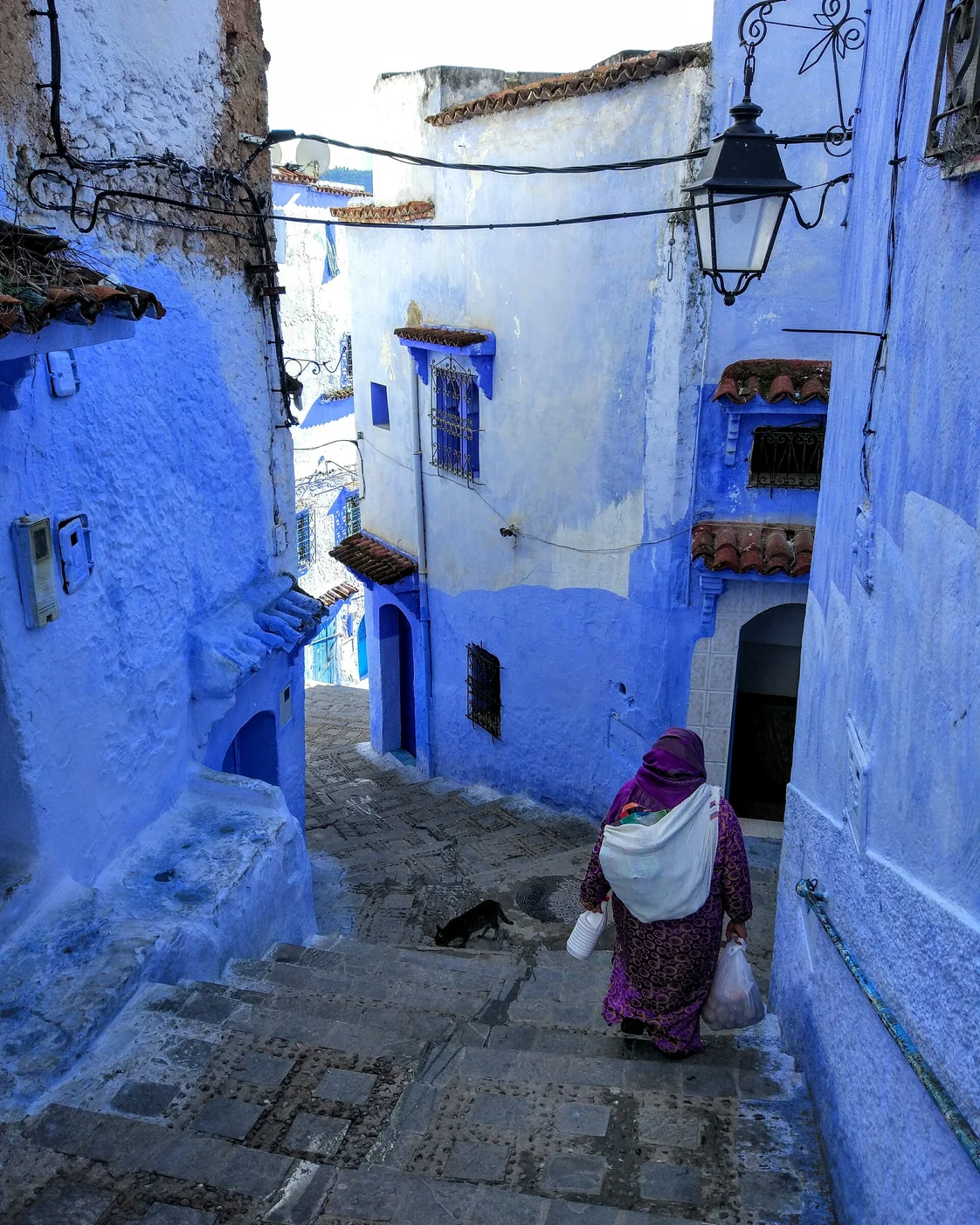
A street in Chefchaouen, a city often approached through the wider Rif landscape.
THE SUBJECTNames, boundaries & belonging
THE APPROACHPlace. Practice. People.
THE CONNECTIONFind it in Morocco ↗
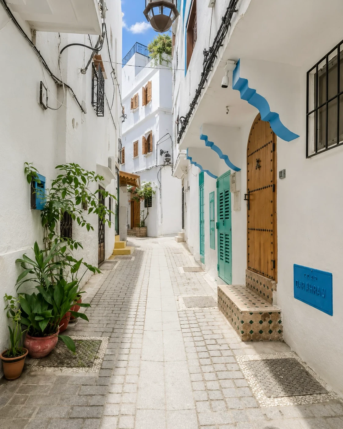
A Tangier lane: local urban space within a much wider regional map.
02 / The deeper context

One country.
More than one useful map.

A region can mean an administrative unit, a physical landscape, a cultural area or a convenient travel grouping. These are different tools. A government boundary defines responsibilities; a mountain range describes terrain; a cultural name may follow language, history or practice across several boundaries. Confusion begins when one kind of map is presented as if it explains all the others.

Morocco’s official regional system uses twelve regions. Their names often join several places, reflecting units broader than one famous city. The Exotic Morocco site also uses editorial groupings to help readers explore places together. Those groupings are navigation aids, not a replacement for administrative geography and not a claim that everyone within them shares one identity.

The most useful habit is to name the map you are using. If you are discussing public administration, consult the official region. If you are planning a landscape journey, follow terrain and connections. If you are discussing language or belonging, listen to local descriptions and allow overlap. A region becomes more intelligible when its purpose is clear.

A closer understanding

One place.
Several valid maps.

Region names become useful when you know what kind of boundary each one describes.

Administration

A region has a specific public role.

The current Moroccan administrative framework lists twelve regions. Names such as Fès–Meknès and Souss–Massa refer to defined administrative units. A city is not interchangeable with the larger region that contains it.

An administrative map answers questions about jurisdiction and organisation. It does not necessarily describe one climate, one language or one architectural tradition. Treat a regional name as a starting point for understanding a place, rather than a complete description of everyone who lives there.
Landscape

The Rif is not a single city.

Landforms follow physical geography. A mountain range, basin or coastline can extend across administrative boundaries. The term Rif therefore asks a different question from an official region name: it points towards a wider mountain landscape and the histories connected with it.

Similar care helps with “the Atlas”. The label is useful at a broad scale, but it can hide major differences between particular valleys, passes and settlements. Being precise about the actual place improves both cultural explanation and practical route planning.

Editorial journeys

A collection is a way in.

Exotic Morocco uses groupings such as Imperial Morocco and the Atlantic Coast to organise discovery. These connect places through themes, geography or history. They are editorial collections, not an alternative official map.

A journey can move between several such groupings without contradiction. Fez can be approached through dynastic history, medina life or craft. The best grouping depends on the question being asked. It should help you make connections without claiming that a city has only one identity.

Carry this with you

For maps including Western Sahara, distinguish Morocco’s administrative claims from the territory’s unresolved international status; the UN lists it as a Non-Self-Governing Territory.

03 / From an idea to everyday life

Choose the map that fits the question.

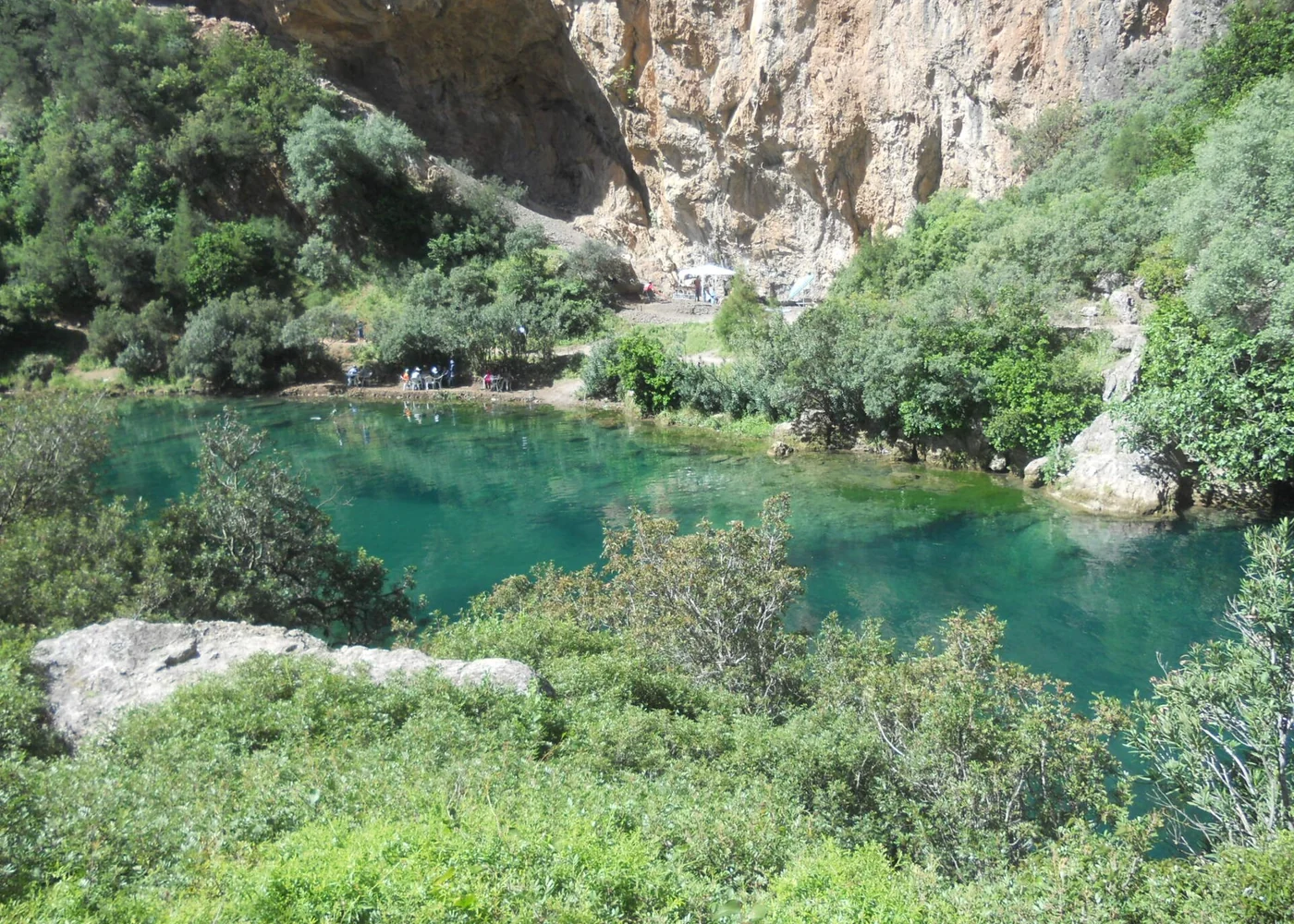
Akchour can be discussed through rivers, mountain relief and its setting in the Rif. This kind of regional description is useful for physical geography. It does not by itself tell you which administrative office serves a village.

Water and rock at Akchour in northern Morocco.
01

For administration

Use the official region name and identify the relevant municipality, province or prefecture when necessary. A city name by itself may not describe the whole unit. Public services and administrative data need the appropriate scale, not an approximate tourism label.

02

For a journey

Follow connected places, realistic travel times and changes in terrain. An itinerary may cross an administrative boundary without a dramatic change in scenery, or remain within one region while entering a very different landscape. The route is a sequence, not just a coloured area.

03

For culture

Ask which language, practice, historical connection or community you mean. Cultural life does not stop at a border line. A broad regional description can introduce a subject, but personal and local accounts keep it from becoming a stereotype.

04 / The visual chapter

Names work at different scales

Move between the close detail and the wider setting. Each view adds another part of the story.

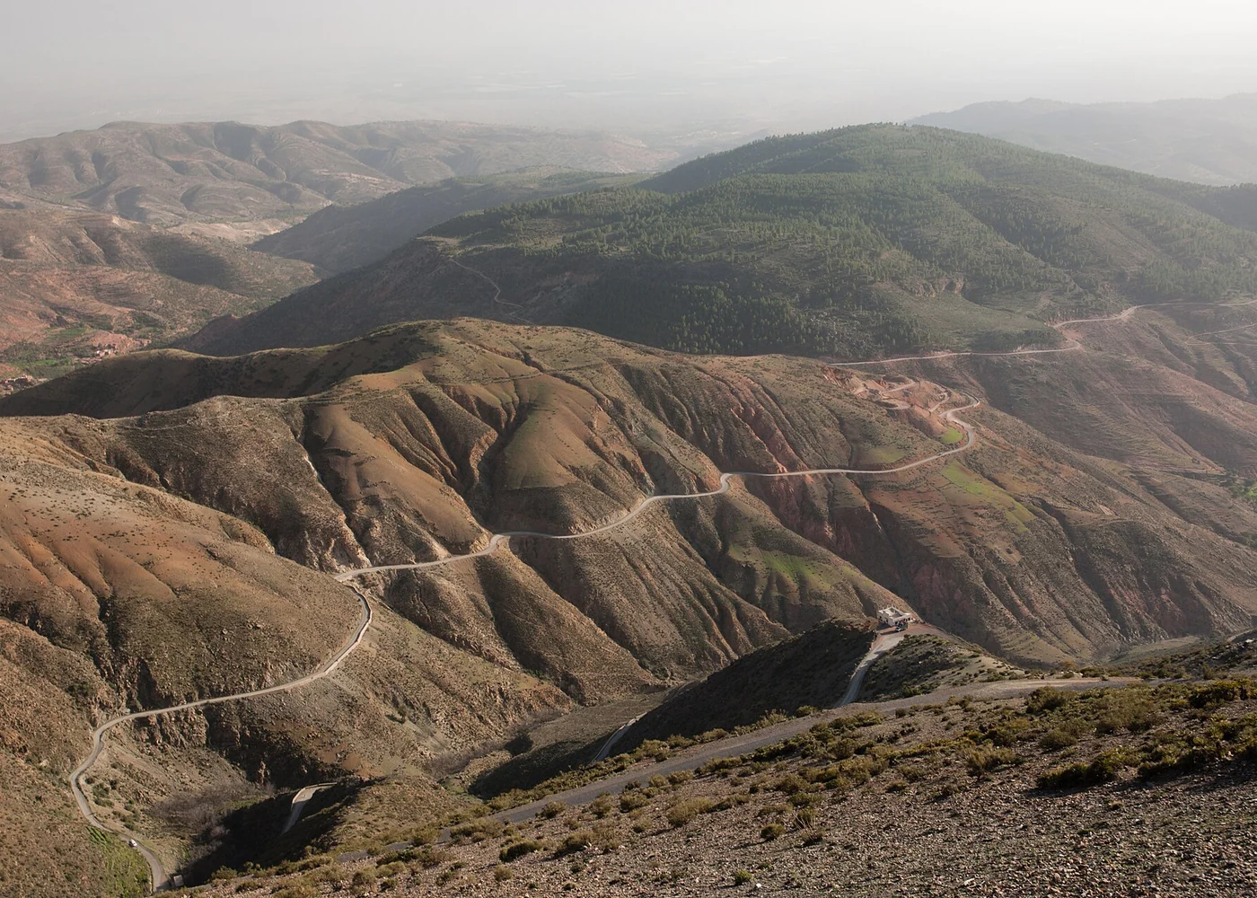
The road landscape seen from Tizi-n-Test in the High Atlas.
01 / A closer look

The journey scale

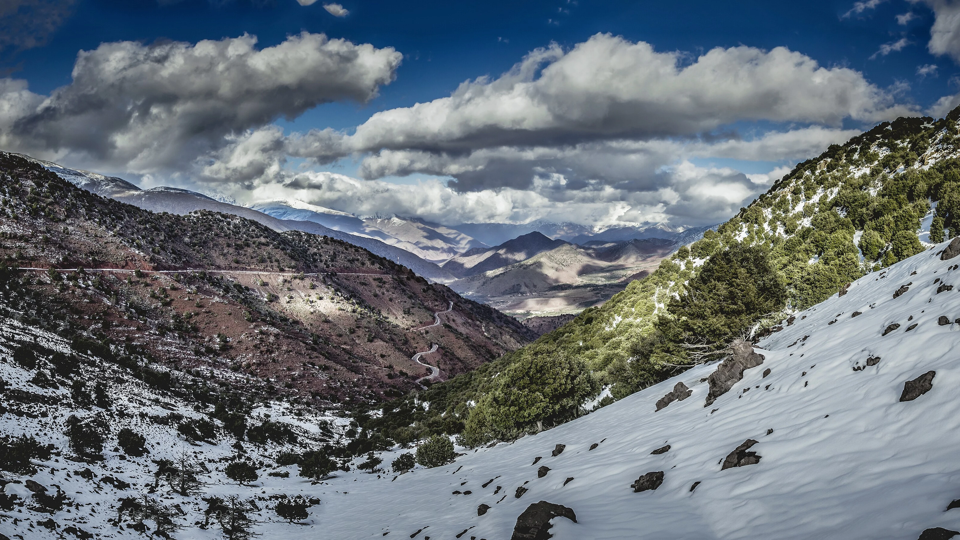
A mountain pass can connect places that sit in different regional stories. Travel groupings help organise a route, but driving time depends on roads and terrain. A line crossing a map is not a promise of an easy journey.

The road landscape seen from Tizi-n-Test in the High Atlas.
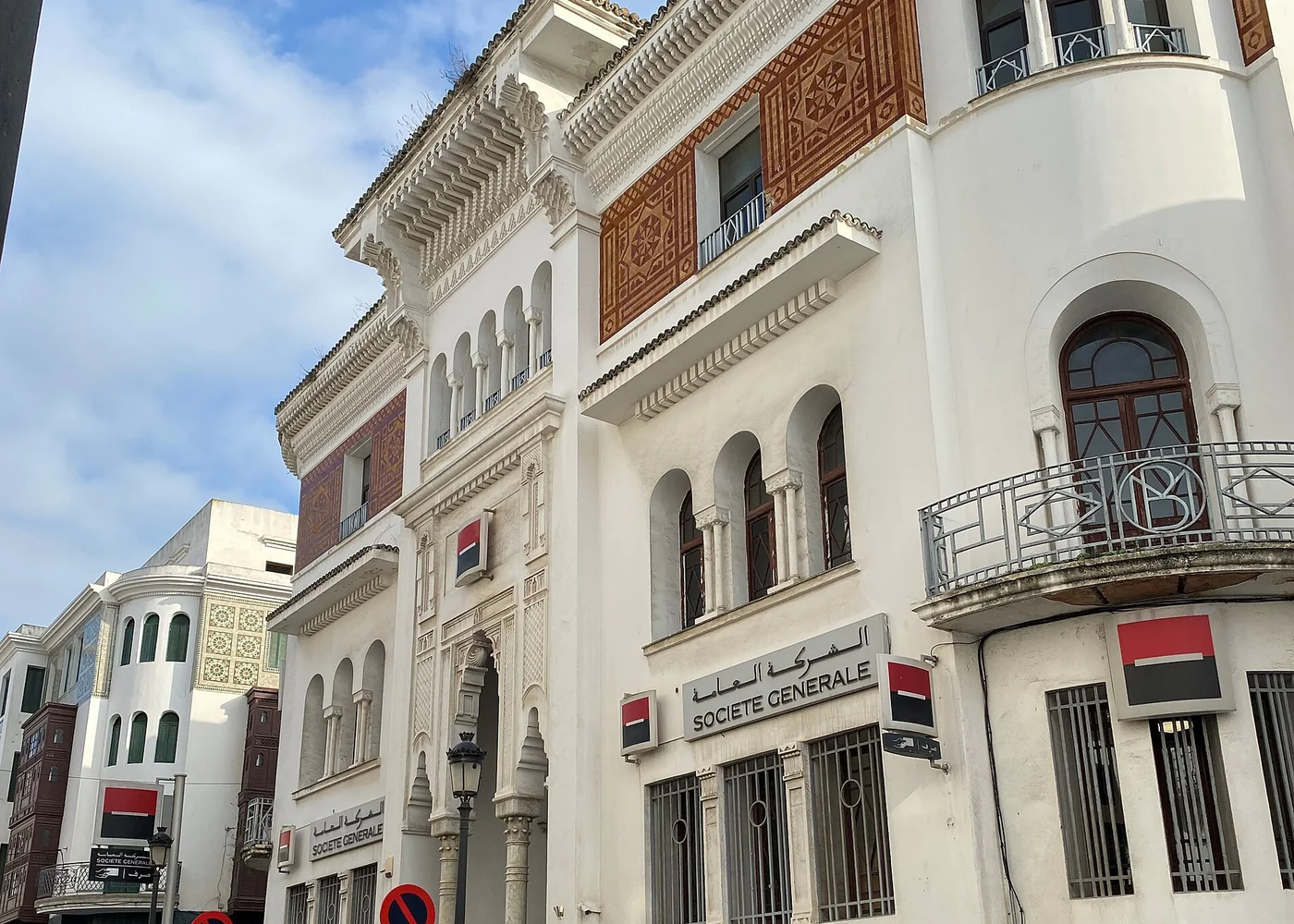
The former State Bank building in Tétouan.
02 / A closer look

The city scale

Tétouan’s institutions, streets and history give the city an identity within a broader northern context. Local belonging is lived at the scale of a neighbourhood as well as a region; ask people which names they use for home.

The former State Bank building in Tétouan.
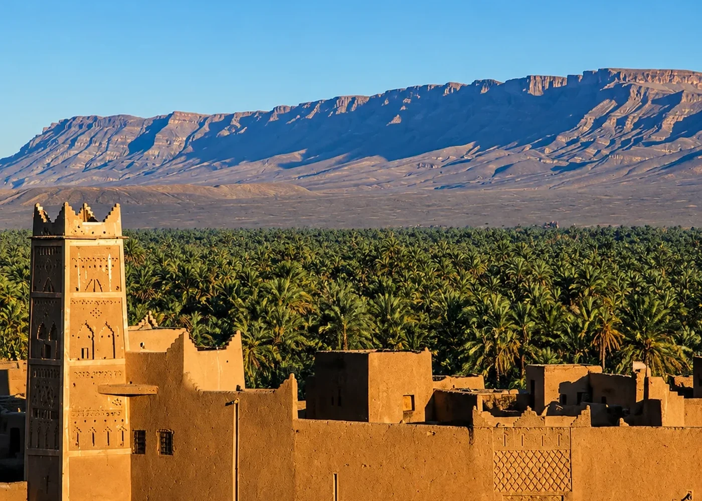
The Drâa landscape: settlement and cultivated land.
03 / A closer look

Boundaries & status

Maps of Morocco may depict Western Sahara differently. The UN lists Western Sahara as a Non-Self-Governing Territory; its final status remains unresolved. Administrative descriptions and sovereignty claims should be clearly distinguished.

The Drâa landscape: settlement and cultivated land.
05 / More than one perspective

Look beyond
the first impression.

Perspective 01

Cities & their surroundings

A regional centre draws people from smaller towns and rural areas, but it does not stand in for all of them. Compare the centre’s economy and built environment with a nearby agricultural or mountain setting.

Perspective 02

Names & spellings

Names may appear in different languages and transliterations. Record the form used by a source and check that two spellings refer to the same place before comparing information. Similar names do not guarantee identical boundaries.

06 / Make the connections

Choose the right regional language

Use these ideas to connect what you notice with the materials, people and histories behind it.

01

Administrative region

Use this when discussing public administration or official statistics. Check the date and source: older publications may use a previous regional division. Names and figures must belong to the same framework.

02

Physical region

The Rif, High Atlas or a river basin describes terrain or an environmental system. Natural features rarely line up perfectly with administrative borders. A watershed can link places on different political maps.

03

Historical or cultural area

A name may reflect shared histories, languages or networks. These connections can overlap and change. Avoid treating a cultural region as a sealed container with a single kind of person inside it.

04

Editorial travel collection

Imperial Morocco brings related cities into a readable itinerary. It is useful precisely because it selects a theme. Always distinguish such a collection from an official region when explaining it to someone else.

07 / A more useful conversation

Before you label the map

Clear answers for the questions that often come next.

Are the site’s region collections official regions?

No. They are editorial groupings for exploration. Use the official regional framework for administrative questions, and the site’s collections for thematic discovery.

Can regional names tell me someone’s language?

They may suggest a useful question, but they cannot establish an individual’s language or identity. Migration, family history and multilingual lives make the picture more complex.

How should I handle different maps?

Read each map’s legend, date and publisher. State what the map represents before comparing it with another. A disagreement may come from different purposes, periods or territorial positions.

08 / Take the story into a place

Find the story in Morocco

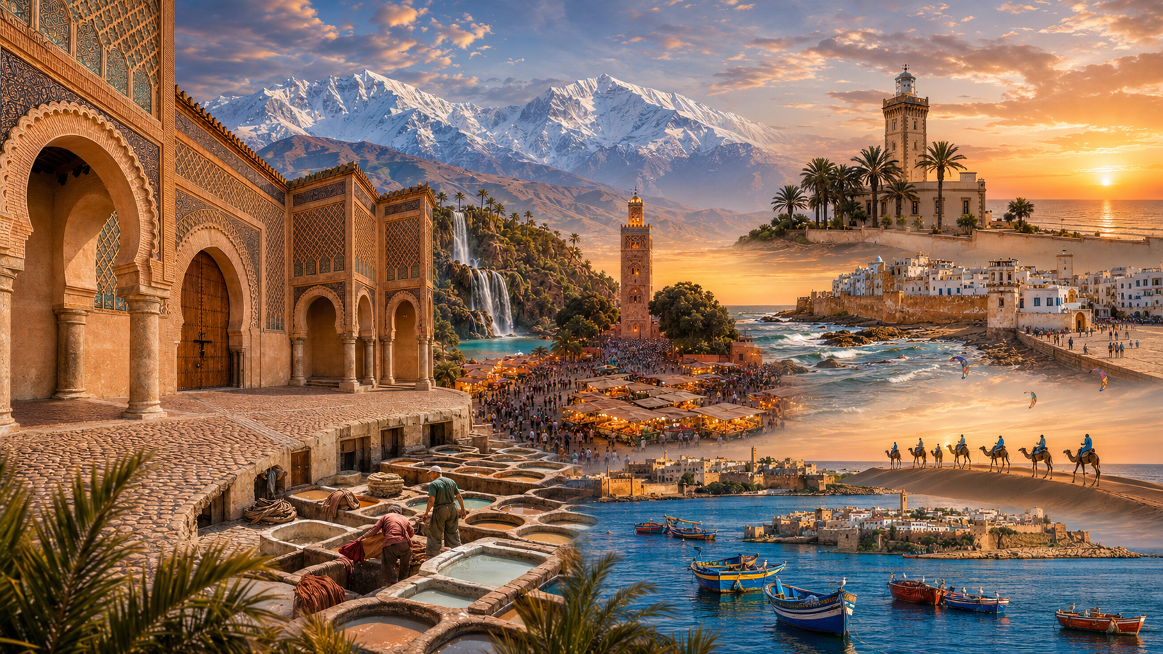
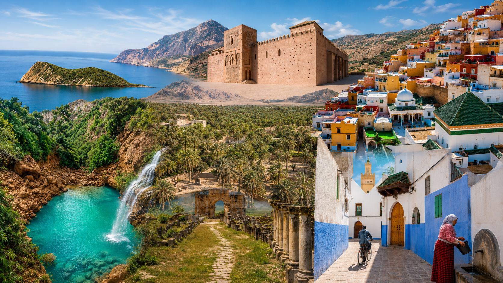
17 connected places and stories. Follow the connection that interests you.

Morocco’s regions

Compare the site’s editorial groupings before choosing a route.

Explore this connection ↗

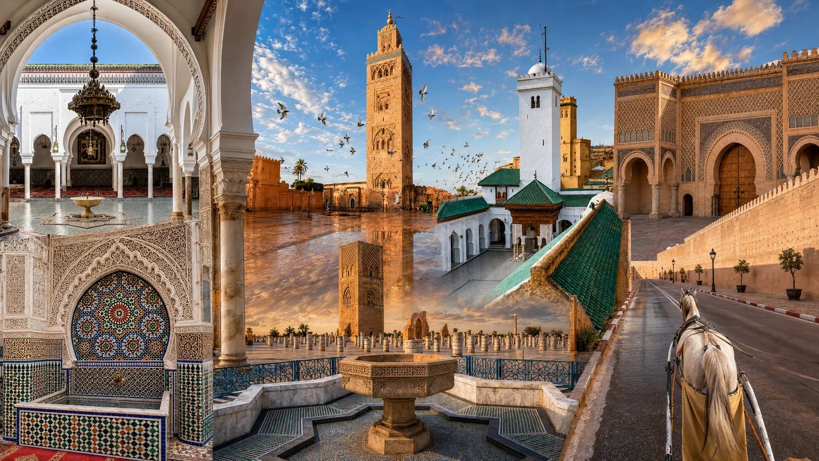
Imperial Morocco

Use an explicitly historical grouping across several cities.

Explore this connection ↗

The Atlantic coast

Follow a coastal grouping shaped by ports and exchange.

Explore this connection ↗

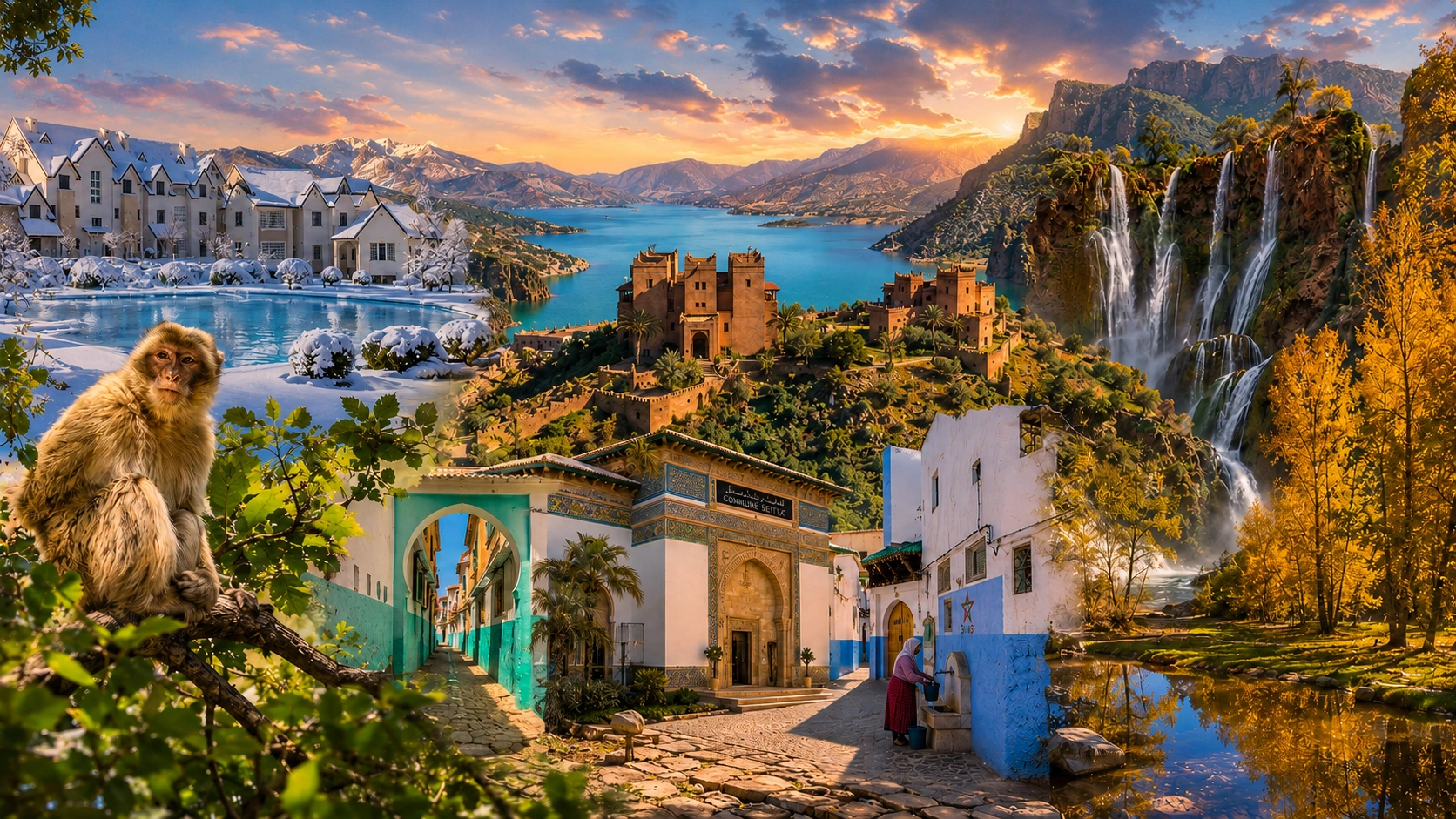
Northern Morocco

Explore the northern mountains and coastal connections.

Explore this connection ↗

The Atlas

Follow the different mountain systems and inland corridors.

Explore this connection ↗

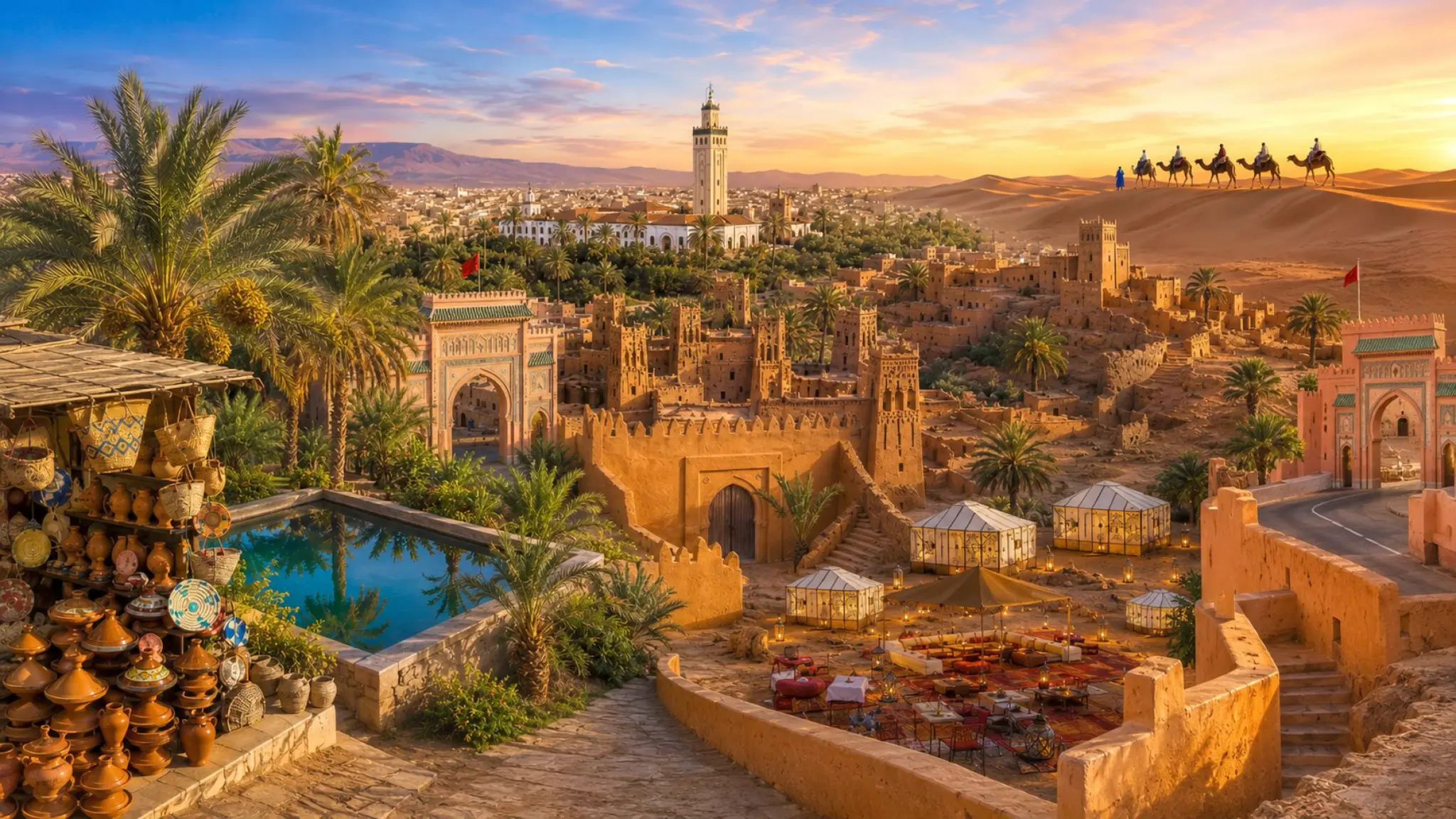
Southern Morocco

Read oasis settlement beside dryland landscapes.

Explore this connection ↗

Mediterranean & Eastern Morocco

Explore eastern landscapes and Mediterranean connections.

Explore this connection ↗

Hidden Morocco & Underrated Places

Look beyond the most familiar centres.

Explore this connection ↗

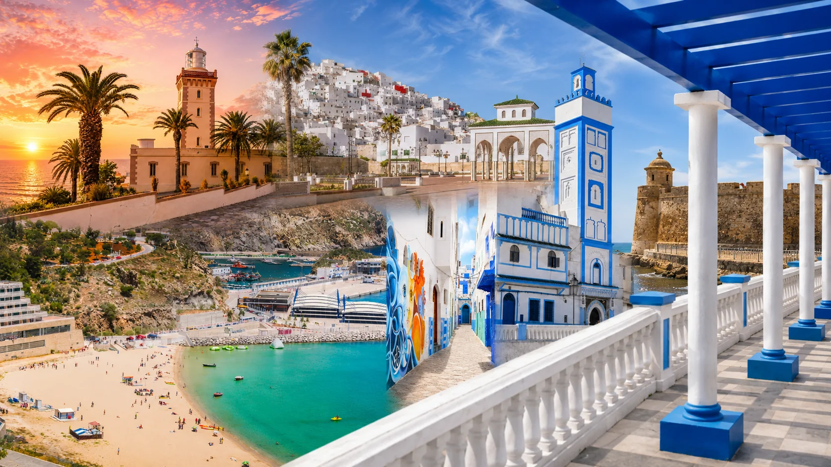
Tangier

A northern city within wider networks.

Explore this connection ↗

Rabat

A capital and its Atlantic setting.

Explore this connection ↗

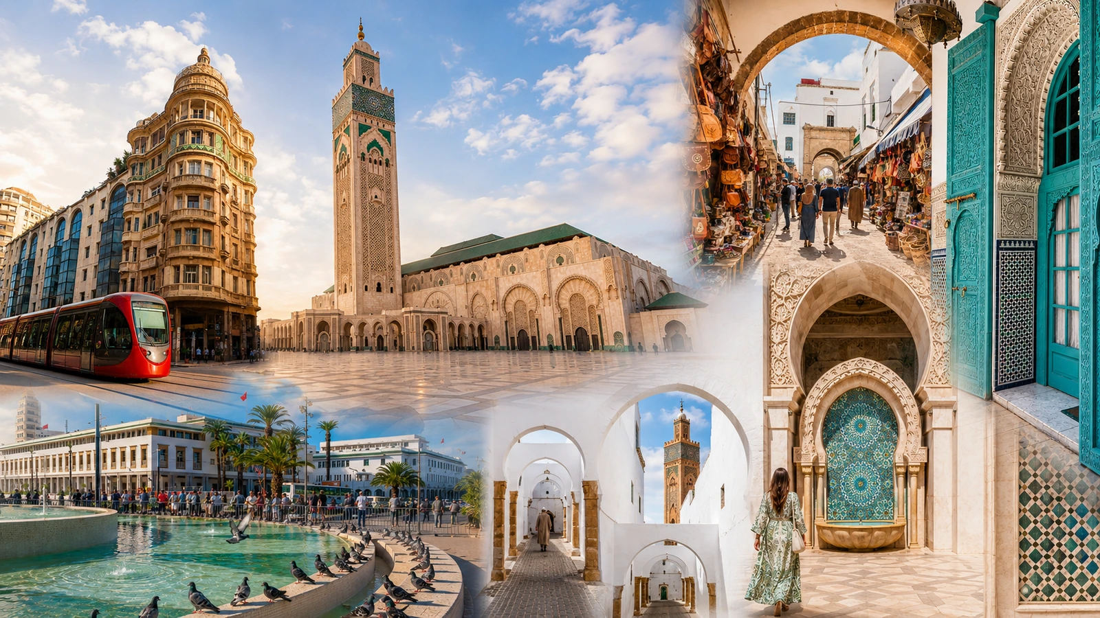
Casablanca

A major city within a broader region.

Explore this connection ↗

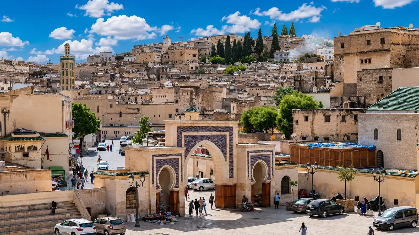
Fez

A city whose cultural reach exceeds its boundary.

Explore this connection ↗

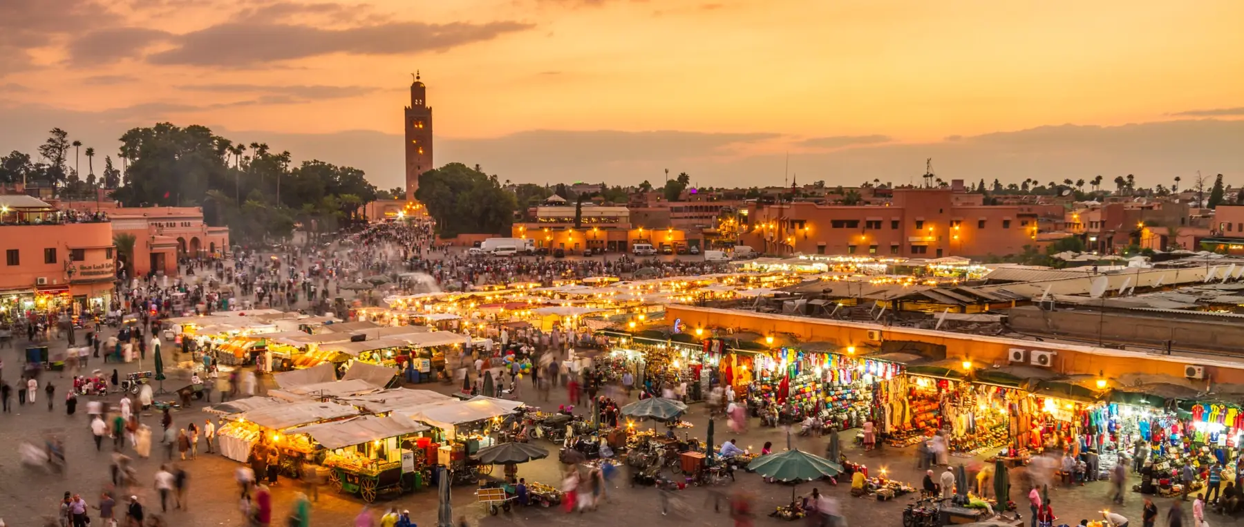
Marrakech

Compare a city with its Haouz and mountain connections.

Explore this connection ↗

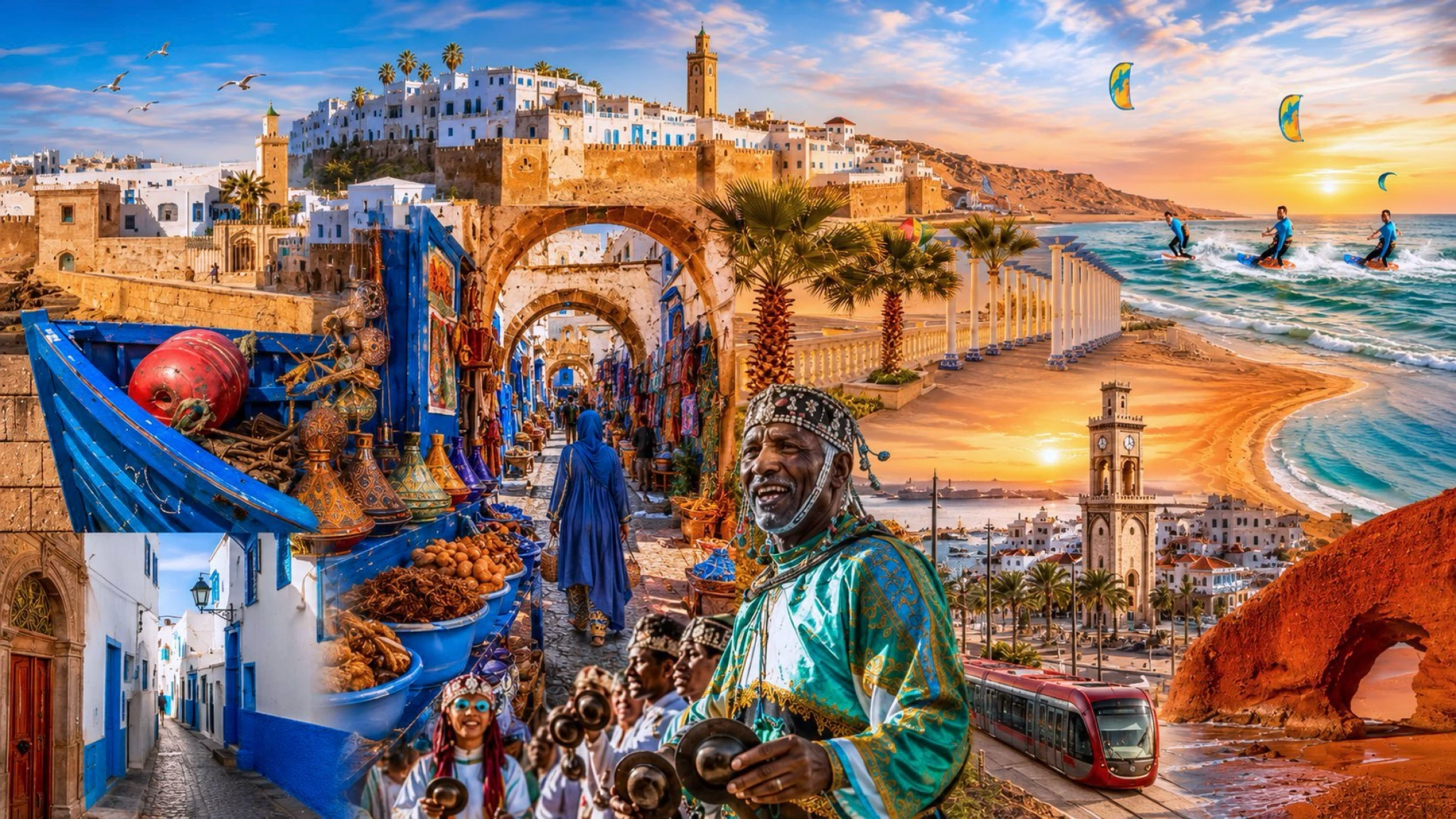
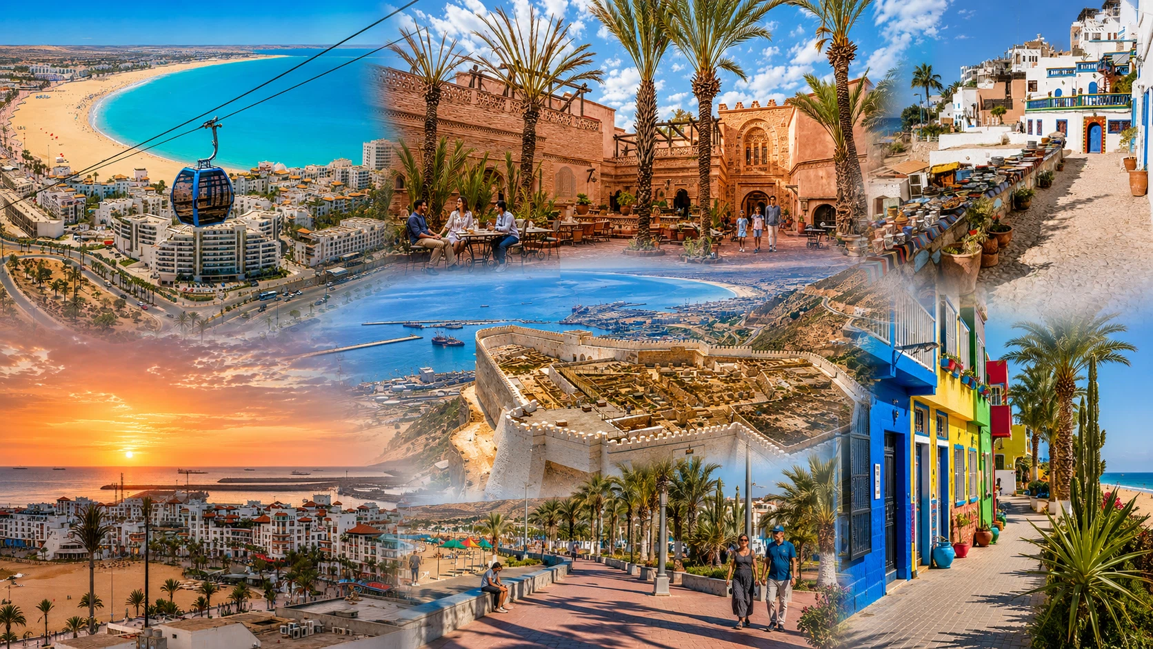
Agadir

Read an urban centre in relation to the Souss.

Explore this connection ↗

Oujda

Explore an eastern urban perspective.

Explore this connection ↗

Ouarzazate

Connect a city with southern valleys and routes.

Explore this connection ↗

Beni Mellal

A city at the meeting of plain and mountain.

Explore this connection ↗
A thought to take with you

Keep looking. Keep learning.

When someone says “this region”, ask what kind of region they mean. It is a small clarification with a large reward: better routes, more precise research and fewer assumptions about the people who live there.

The Exotic Morocco library

Continue at your own pace.

This Learn story is free to explore. Find this subject in the guide library, with each title’s current availability clearly shown.

Explore the guide library ↗
Sources & further reading

Read the evidence

  1. Association of Moroccan Regions · Regional websites
  2. World Bank · Morocco climate risk country profile
  3. United Nations · Western Sahara

Source review: September 2026. Looking exercises and learning prompts are original Exotic Morocco editorial suggestions. Regional practice and personal experience vary.

Image acknowledgements

  1. Related preview: Arhbalou High Atlas Al Haouz Morocco Oct25 A7CR 08381.jpg — This Photo was taken by Timothy A. Gonsalves. Feel free to use my photos, but please mention me as the author. I would much appreciate if you send me an email tagooty@yahoo.com or write on my talk page, for my information. Please contact me before commercial use. Please do not upload an edited image here without consulting me. I would like to make corrections only at my own source to ensure that the changes improve the image and are preserved.Otherwise you may upload an edited image with a new name. Please use one of the templates derivative or extract. . CC BY-SA 4.0. Cropped/resized; original licence retained.
  2. Hero: Rif Montagne.jpg — Sarablh. CC BY-SA 4.0. Cropped/resized; original licence retained.
  3. Portrait: Chefchaouen - blue city in Morocco 1.jpg — Ekaterina Kvelidze. CC BY-SA 4.0. Cropped/resized; original licence retained.
  4. Story-1: Akchour1-Maroc.JPG — Haghfar. CC BY-SA 4.0. Cropped/resized; original licence retained.
  5. Story-2: View over R 203 from Tizi-n-Test.jpg — Alexander Leisser. CC BY-SA 4.0. Cropped/resized; original licence retained.
  6. Image 6: Existing Exotic Morocco image library, A Tangier lane: local urban space within a much wider regional map.
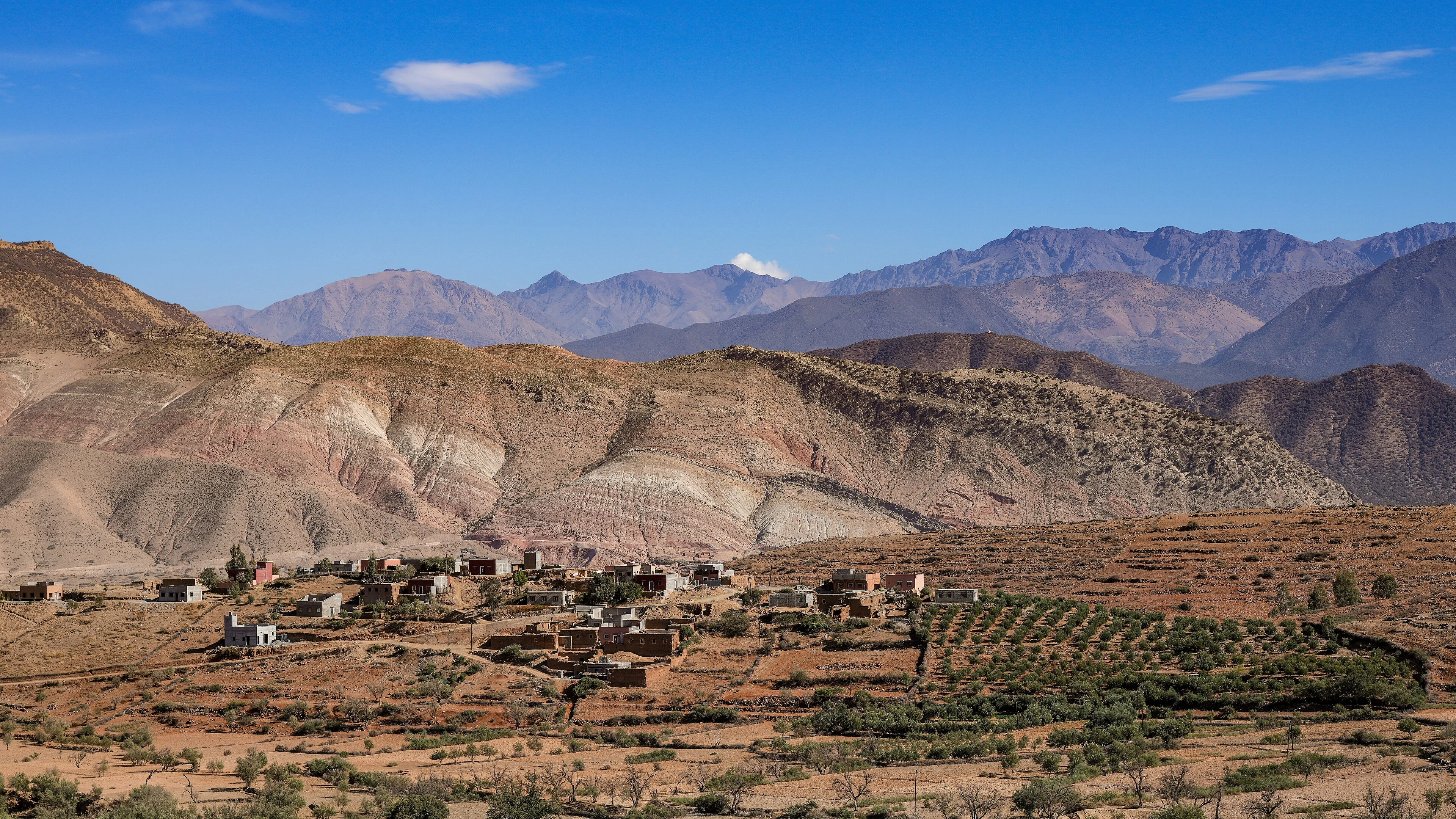
  7. Related preview: The sound of the south 2 - Nkoub village Morocco by Brahim FARAJI.jpg — Farajiibrahim. CC BY-SA 4.0. Cropped/resized; original licence retained.
  8. Related preview: High Atlas Mountains Taroudant Marrakesh.jpg — Ayman Abdelilah. CC BY-SA 4.0. Cropped/resized; original licence retained.
  9. Related preview: Fishing boats of Essaouira - Morocco.jpg — Mustang Joe. CC0. Cropped/resized; original licence retained.
  10. Chapter: Tangier connects its urban edge to the sea. — Exotic Morocco’s existing image collection.
  11. Gallery: The Drâa landscape: settlement and cultivated land. — Exotic Morocco’s existing image collection.

Destination and related-story thumbnails intentionally identify their linked pages. Principal story images are selected individually for this Learn page.