02 / The deeper contextThe land changes
before the journey ends.
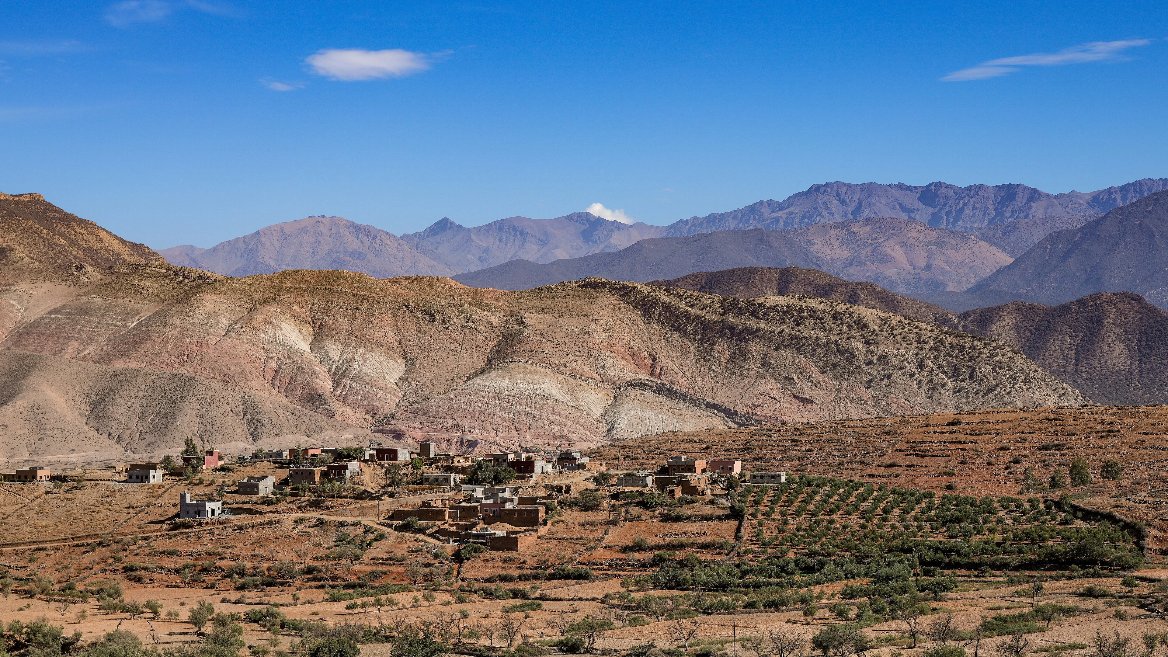
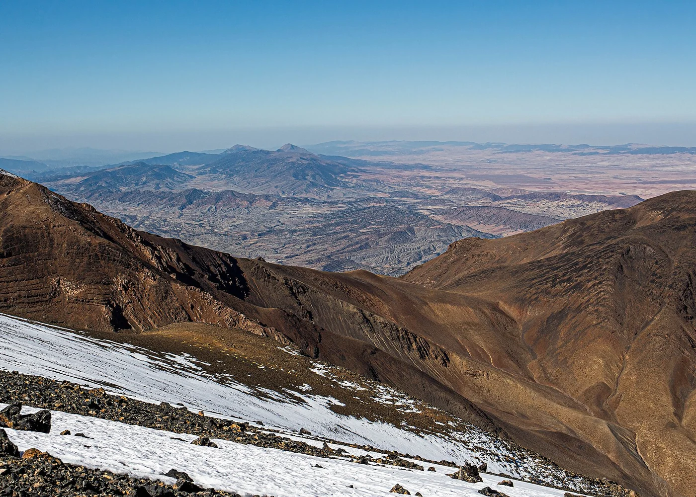
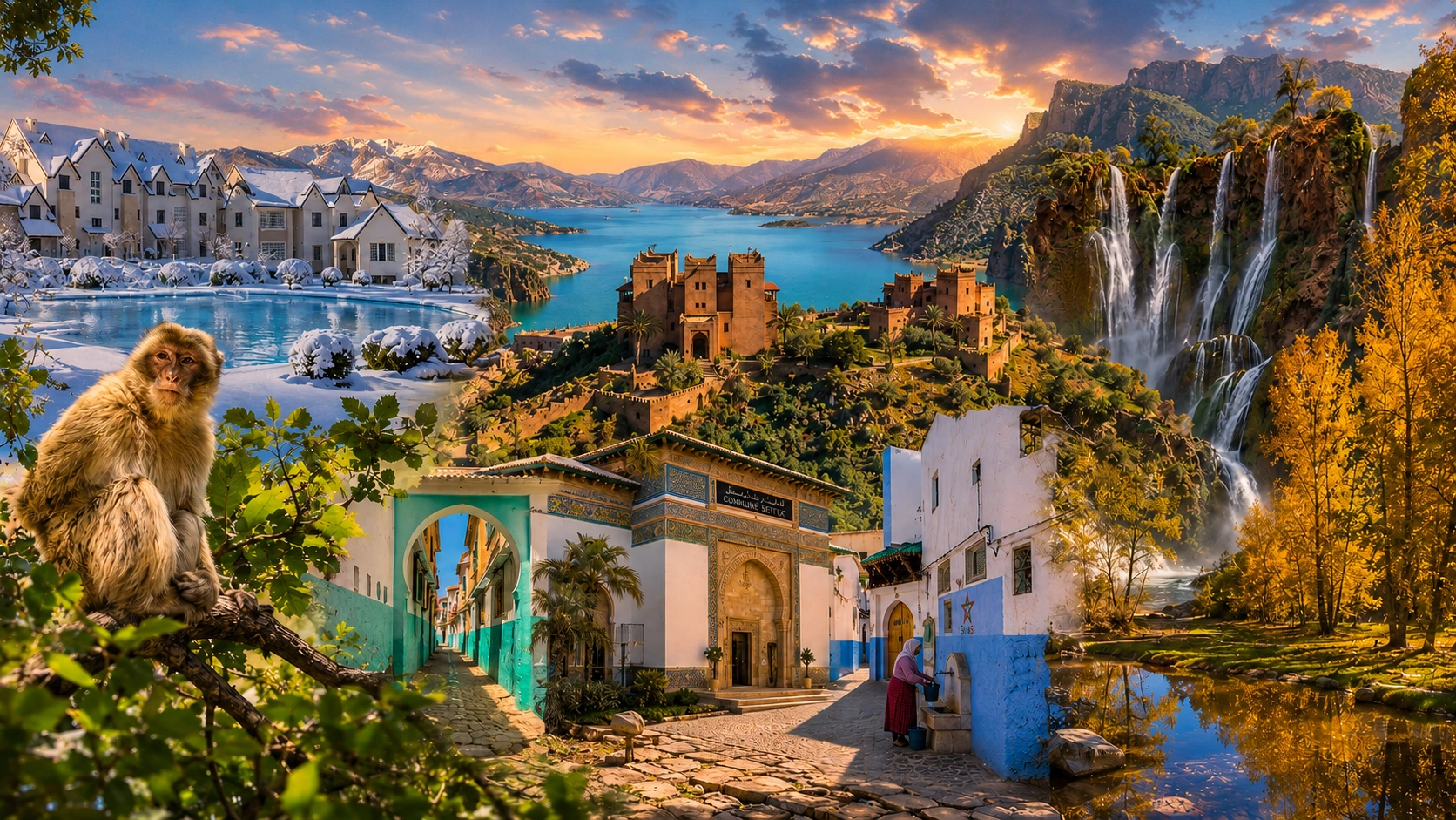
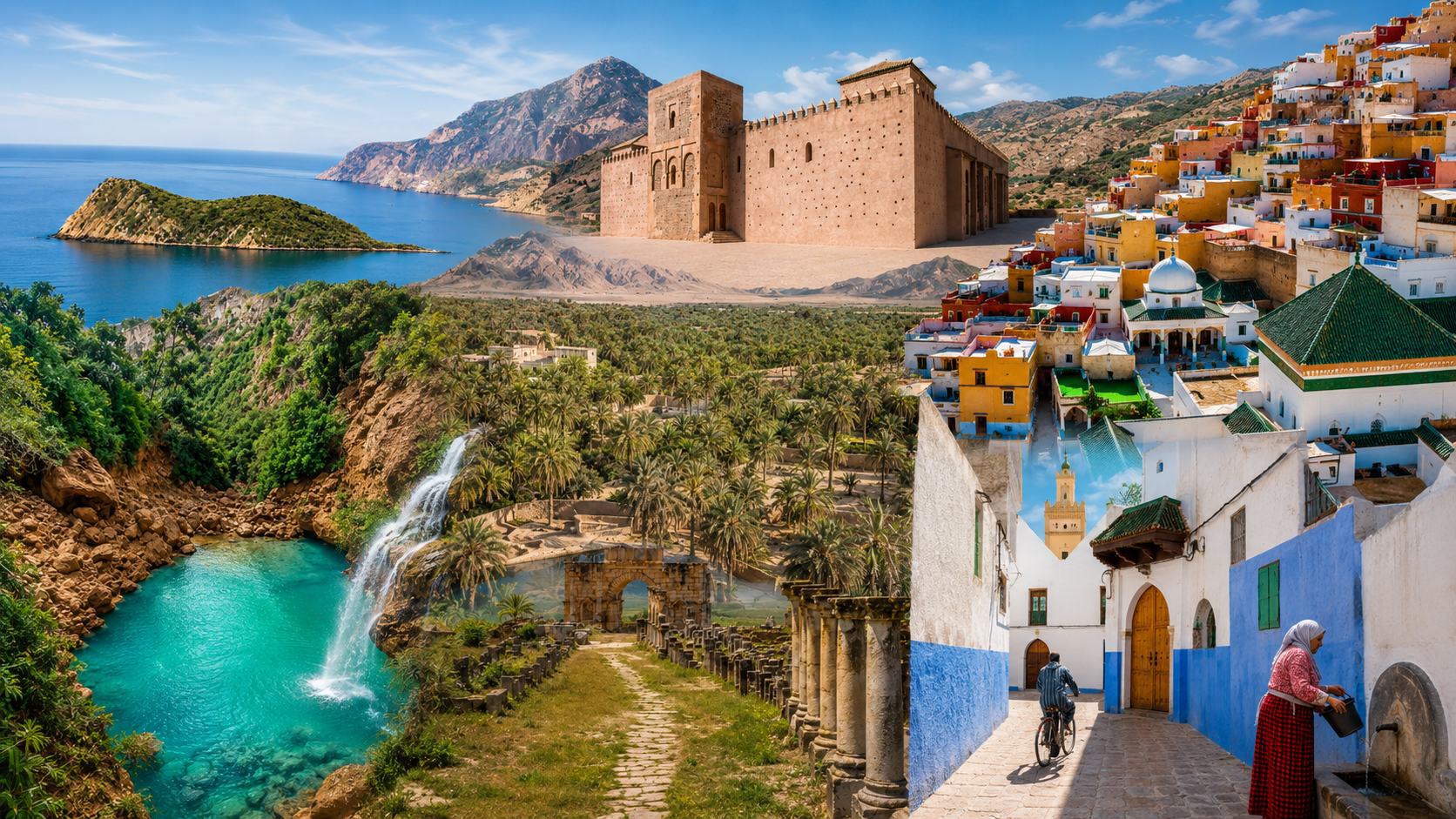
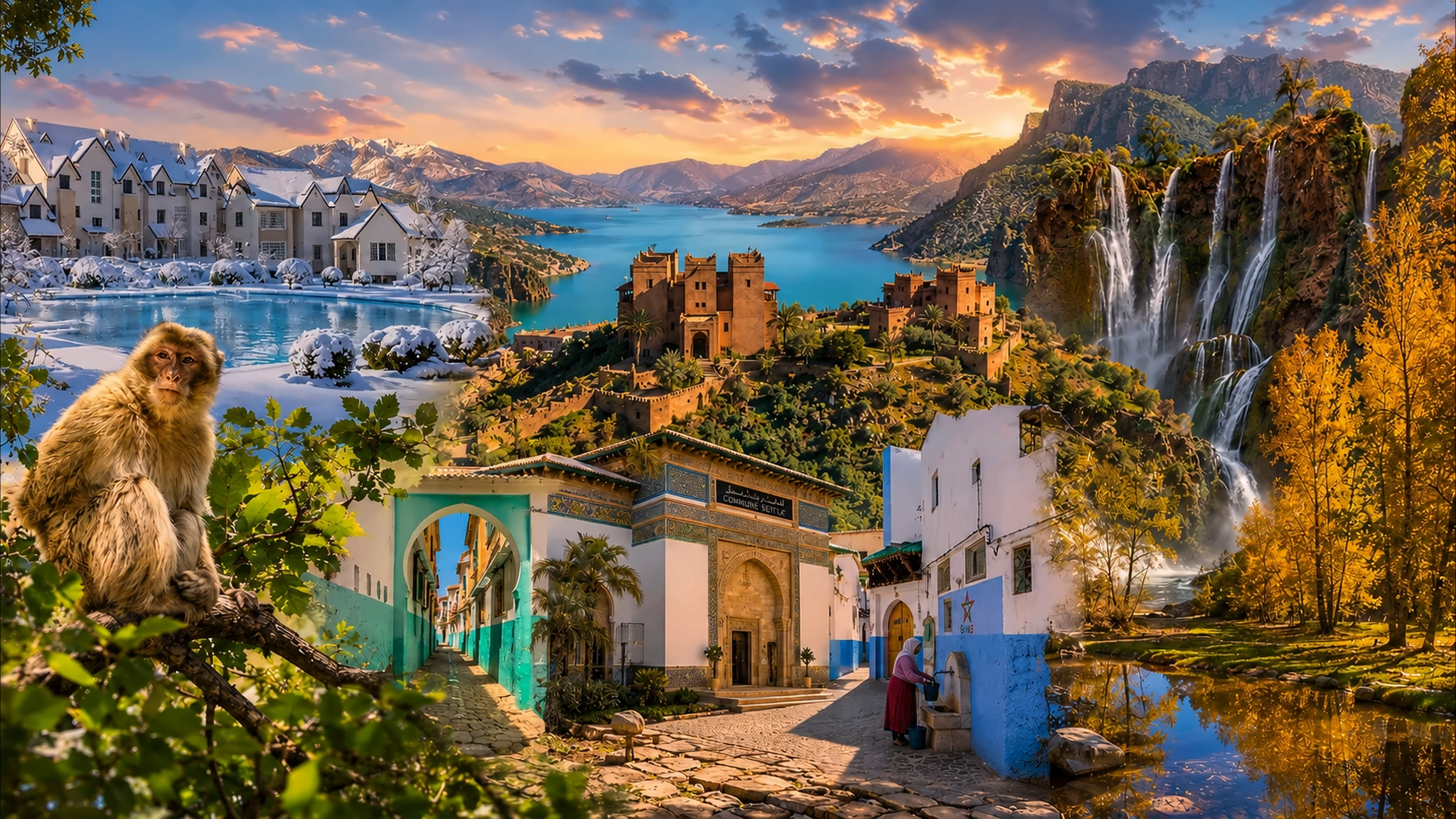
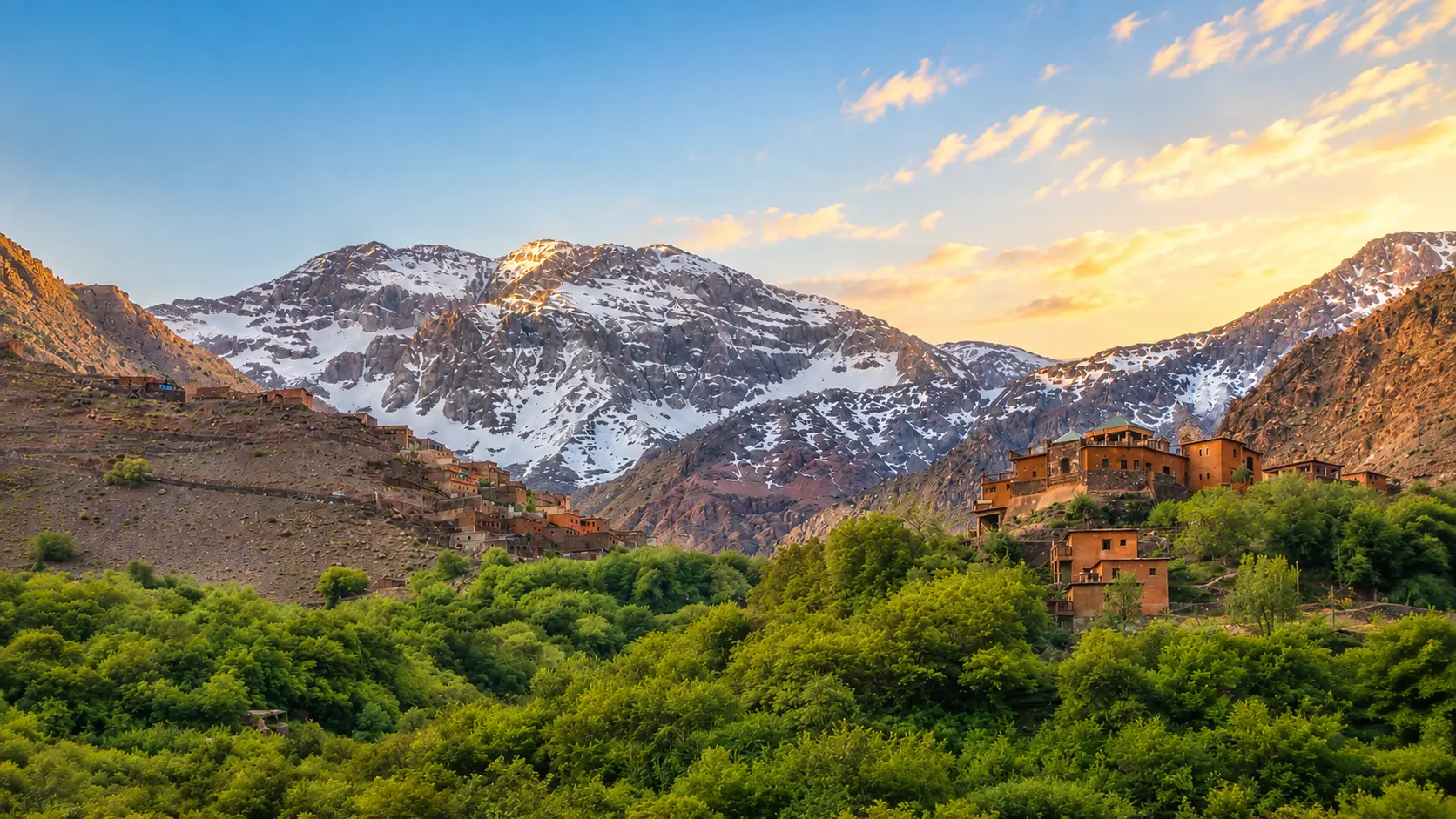
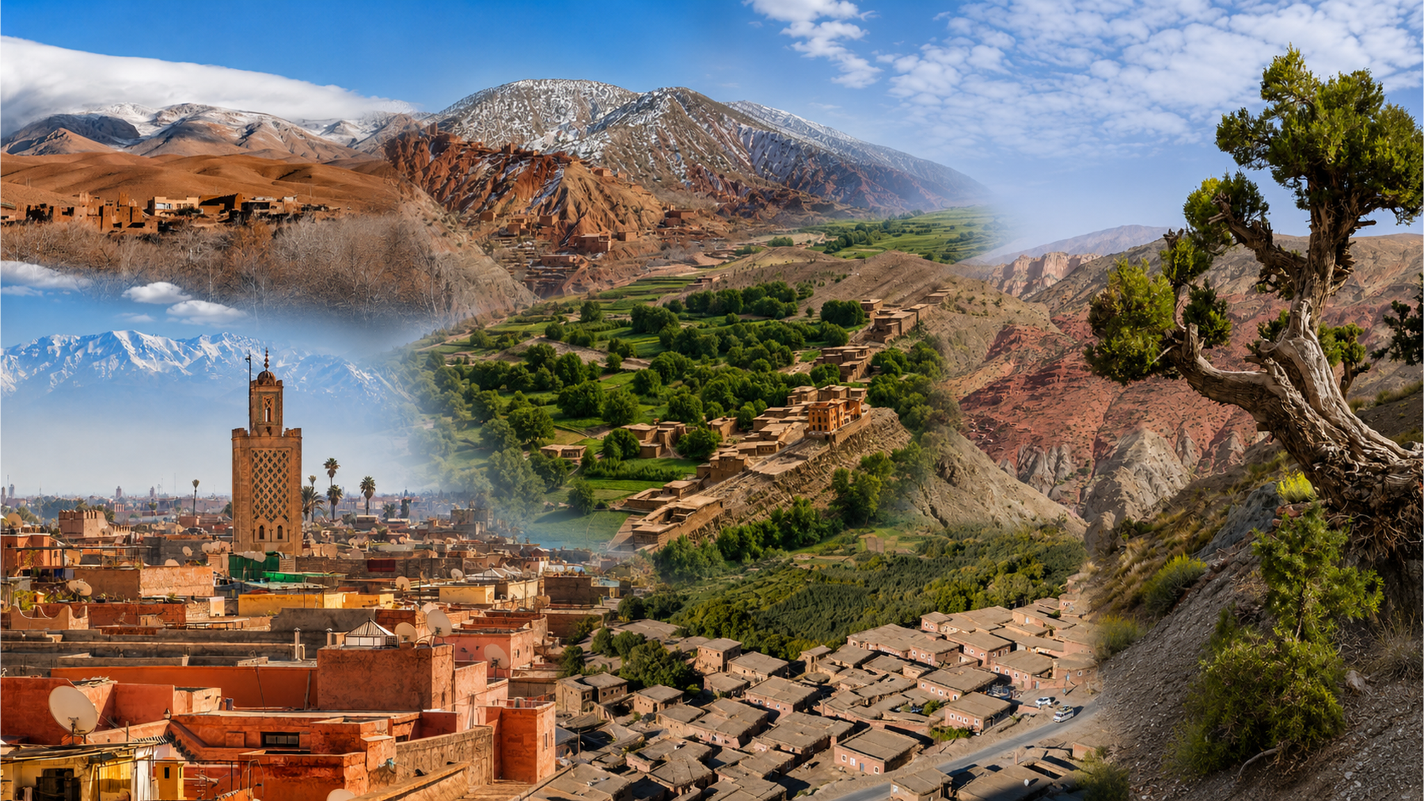
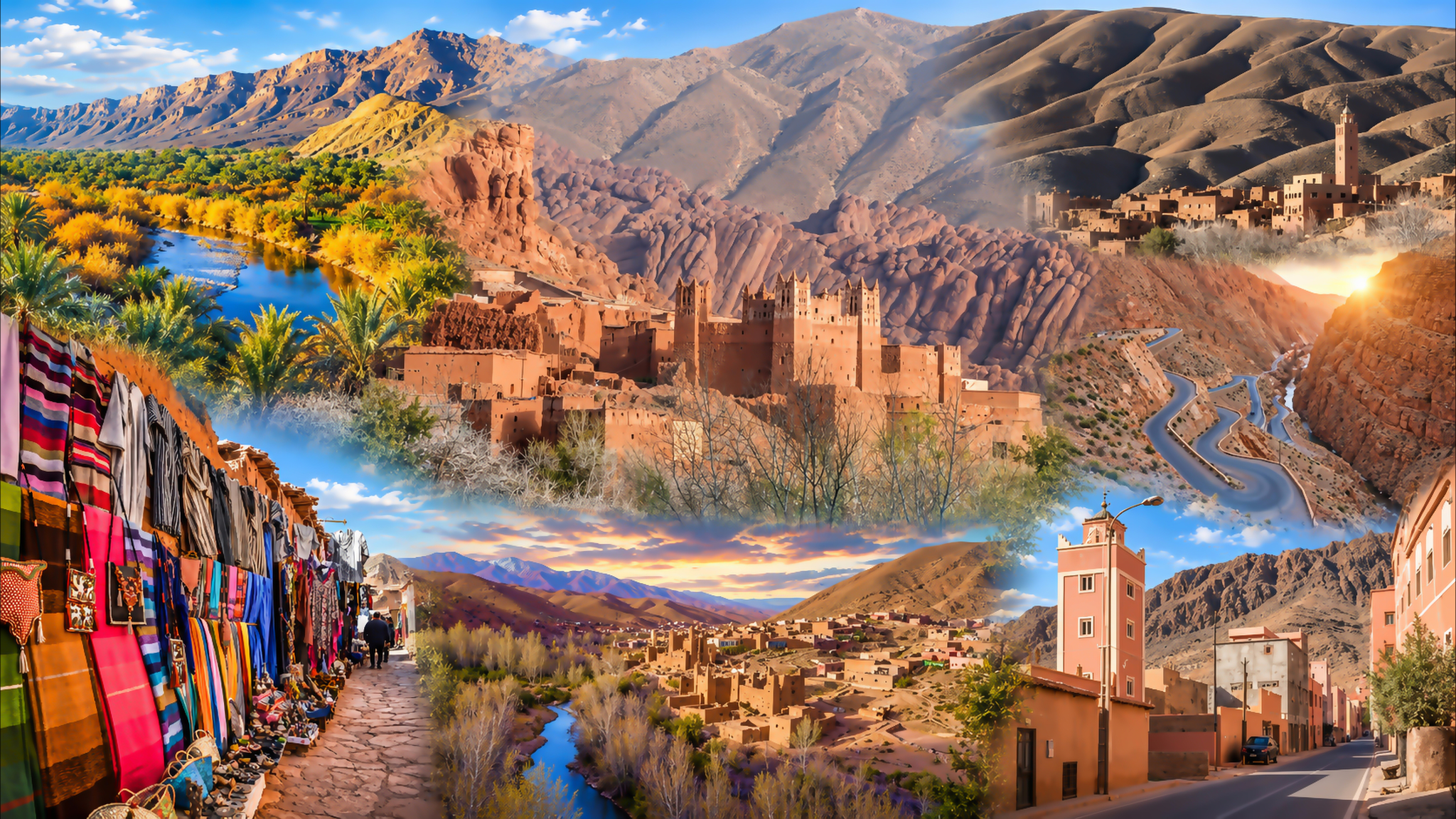
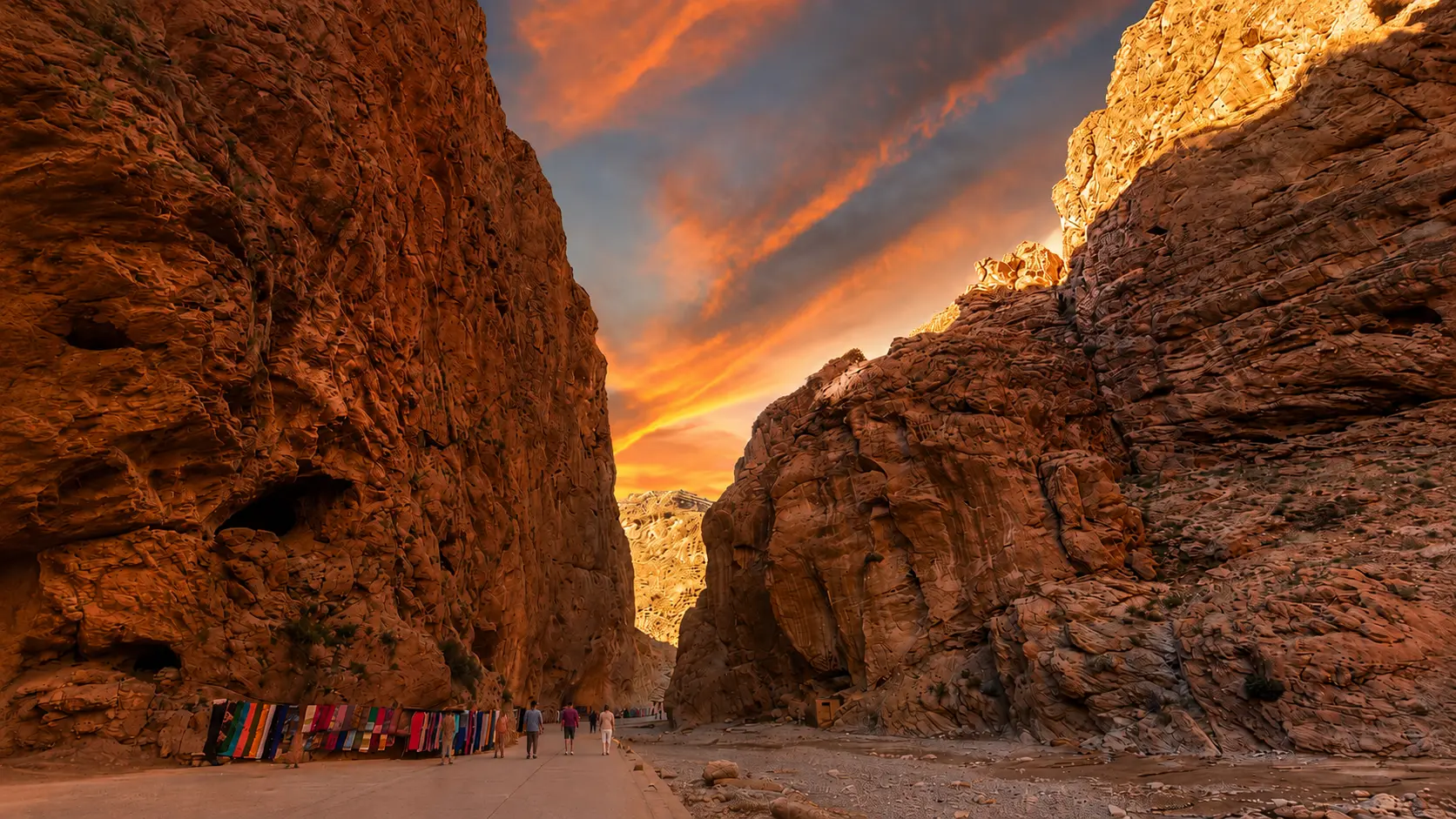
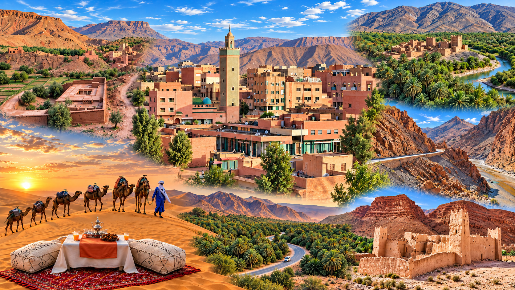
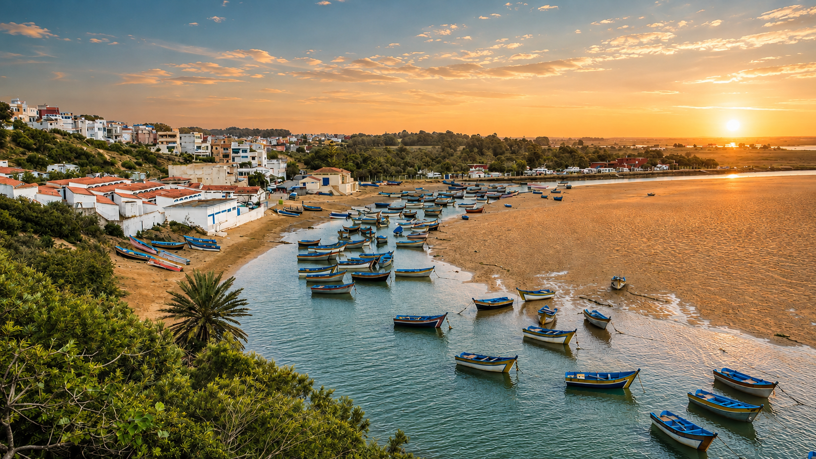
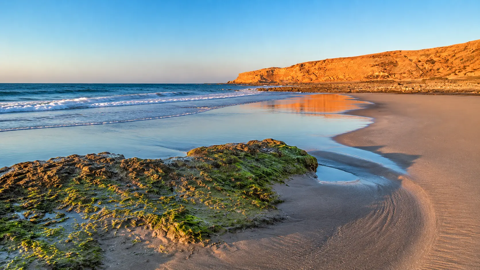
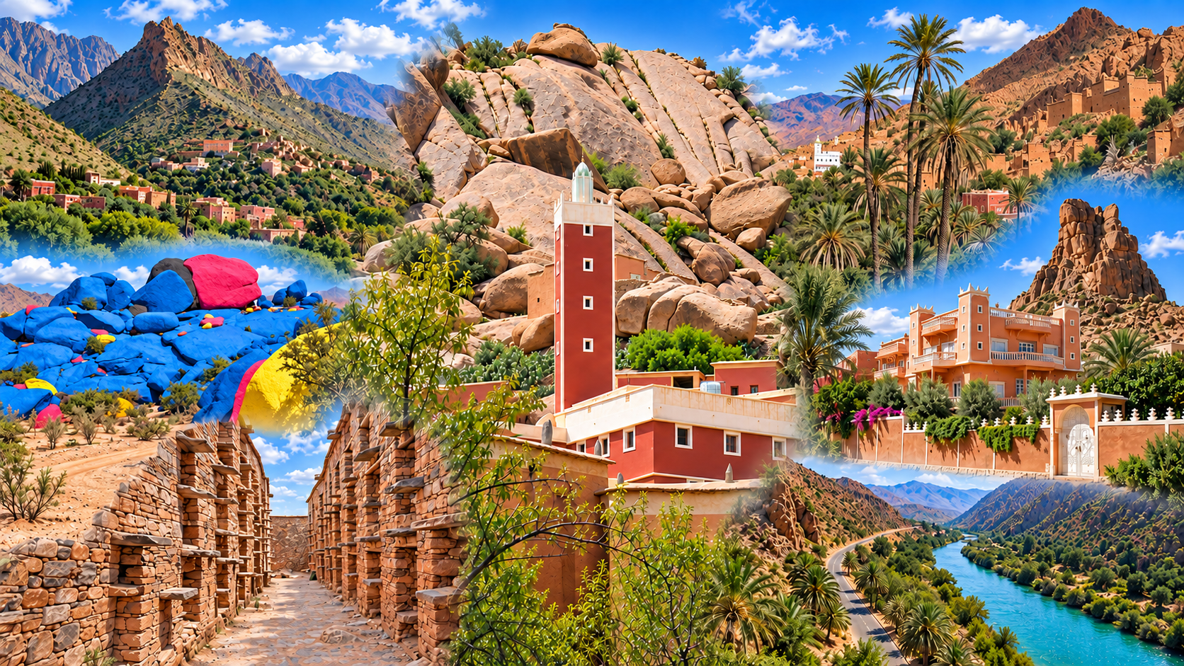
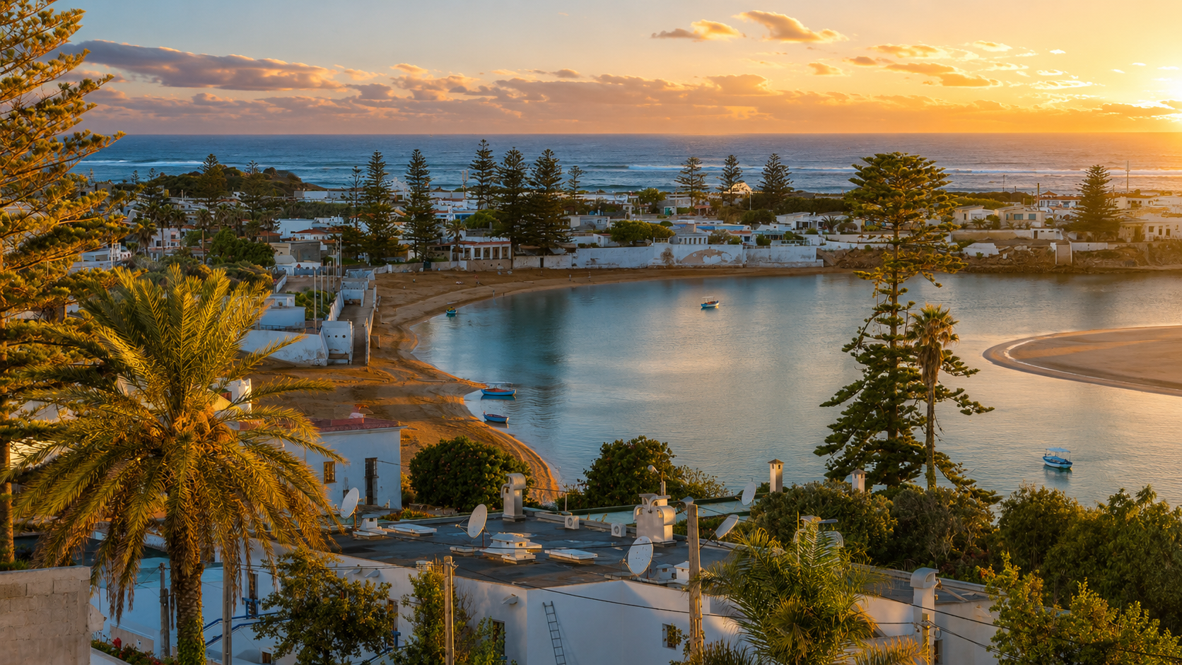
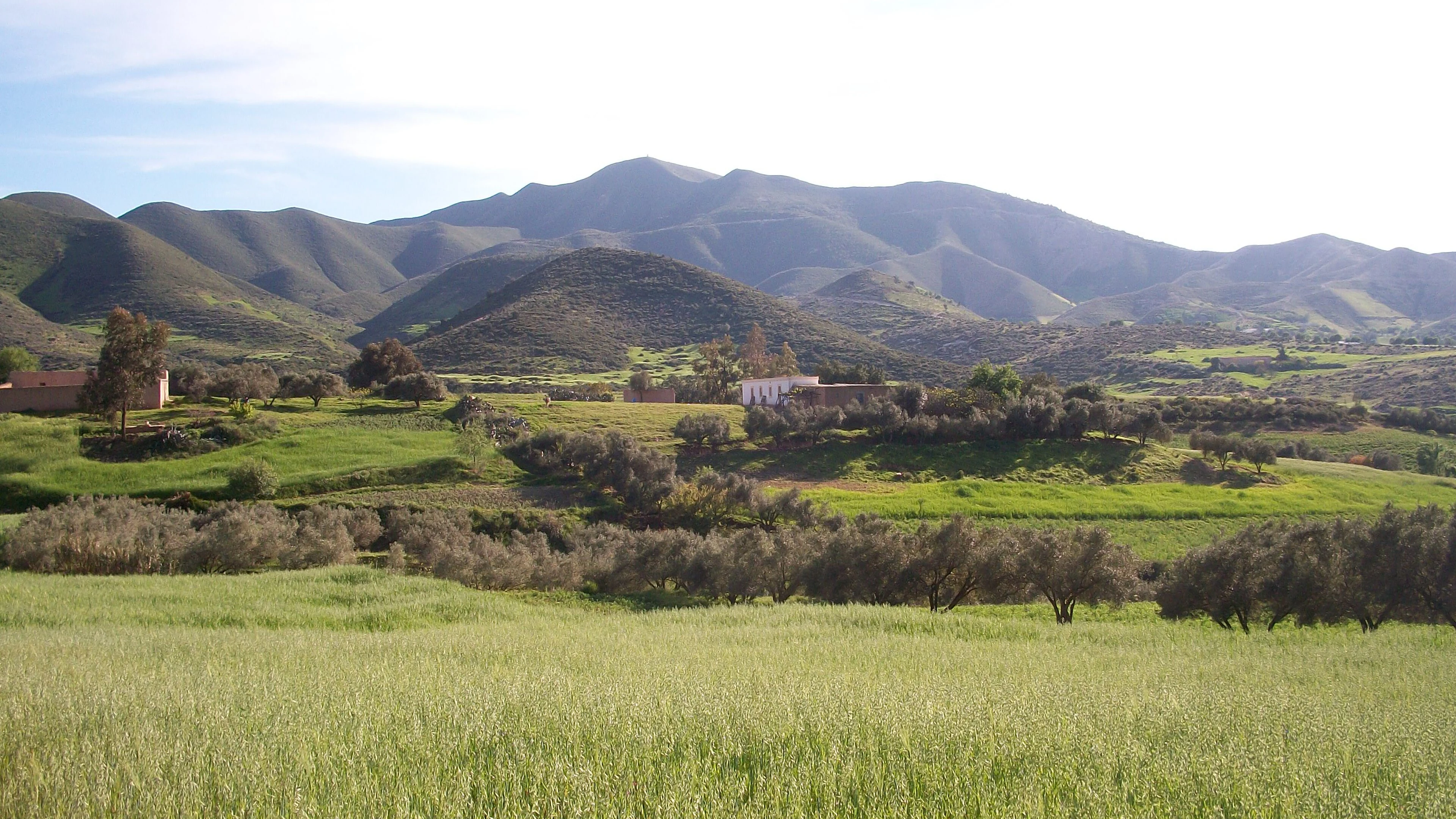
Morocco’s geography becomes clearer when you follow a cross-section rather than a list of attractions. Begin at a coast, move inland across a plain, rise into a mountain system and descend towards drier country. Elevation, exposure to maritime air and the position of mountain barriers help explain why landscapes that appear close on a map can feel markedly different on the ground.
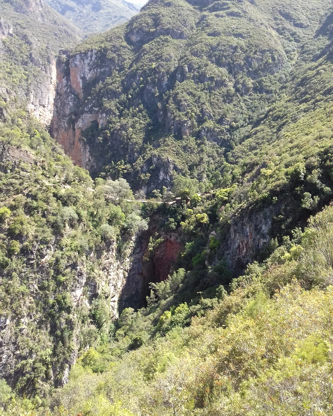
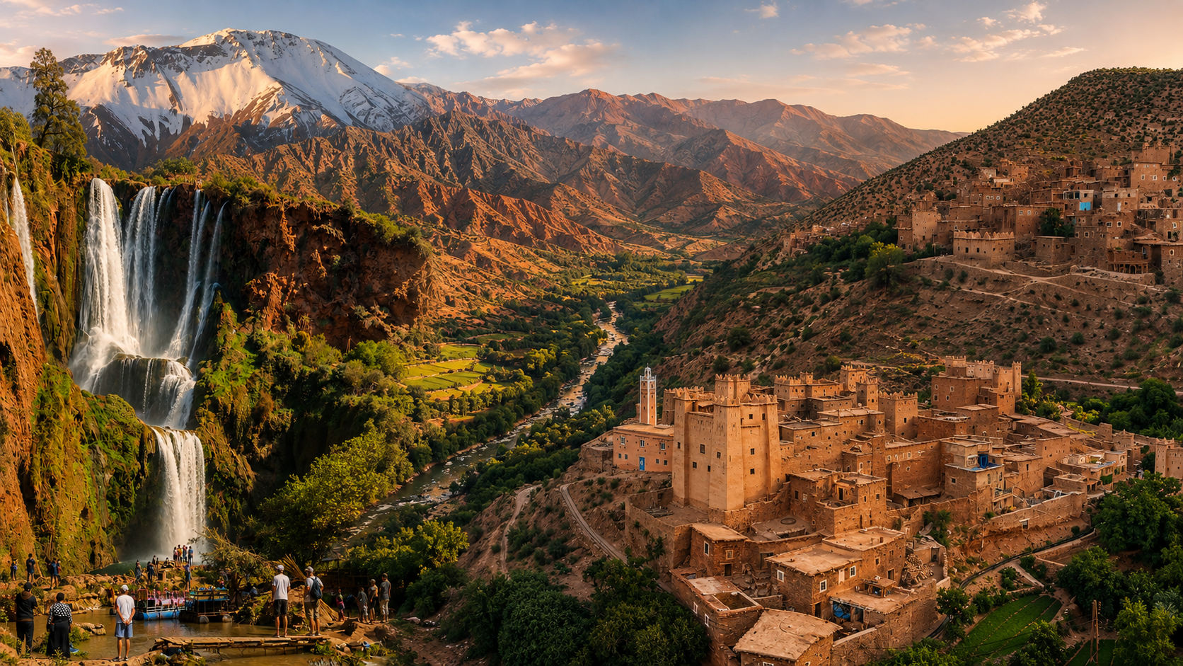
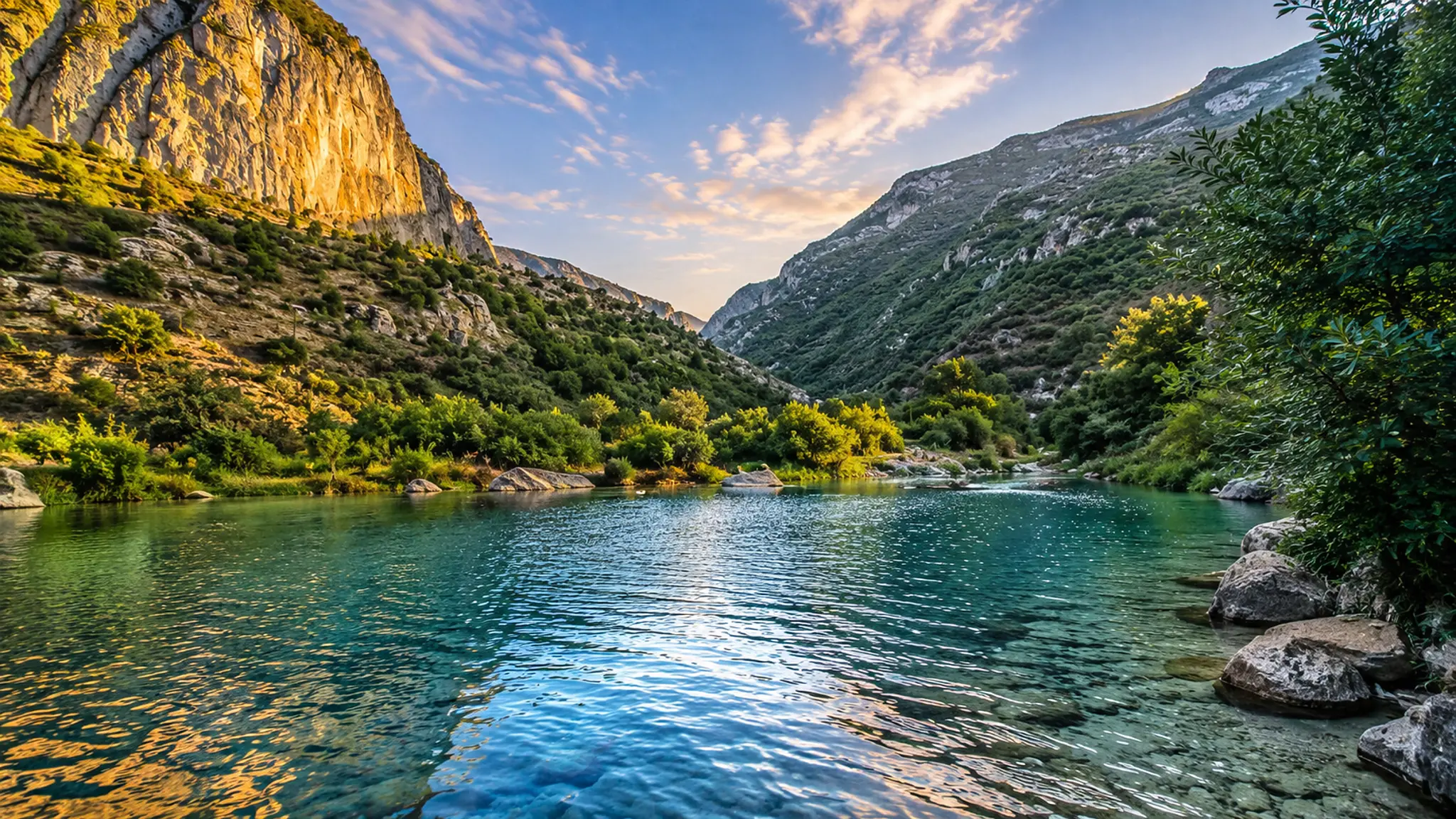
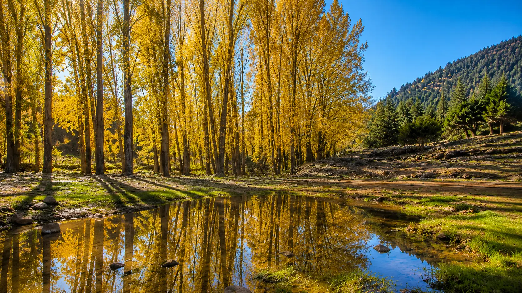
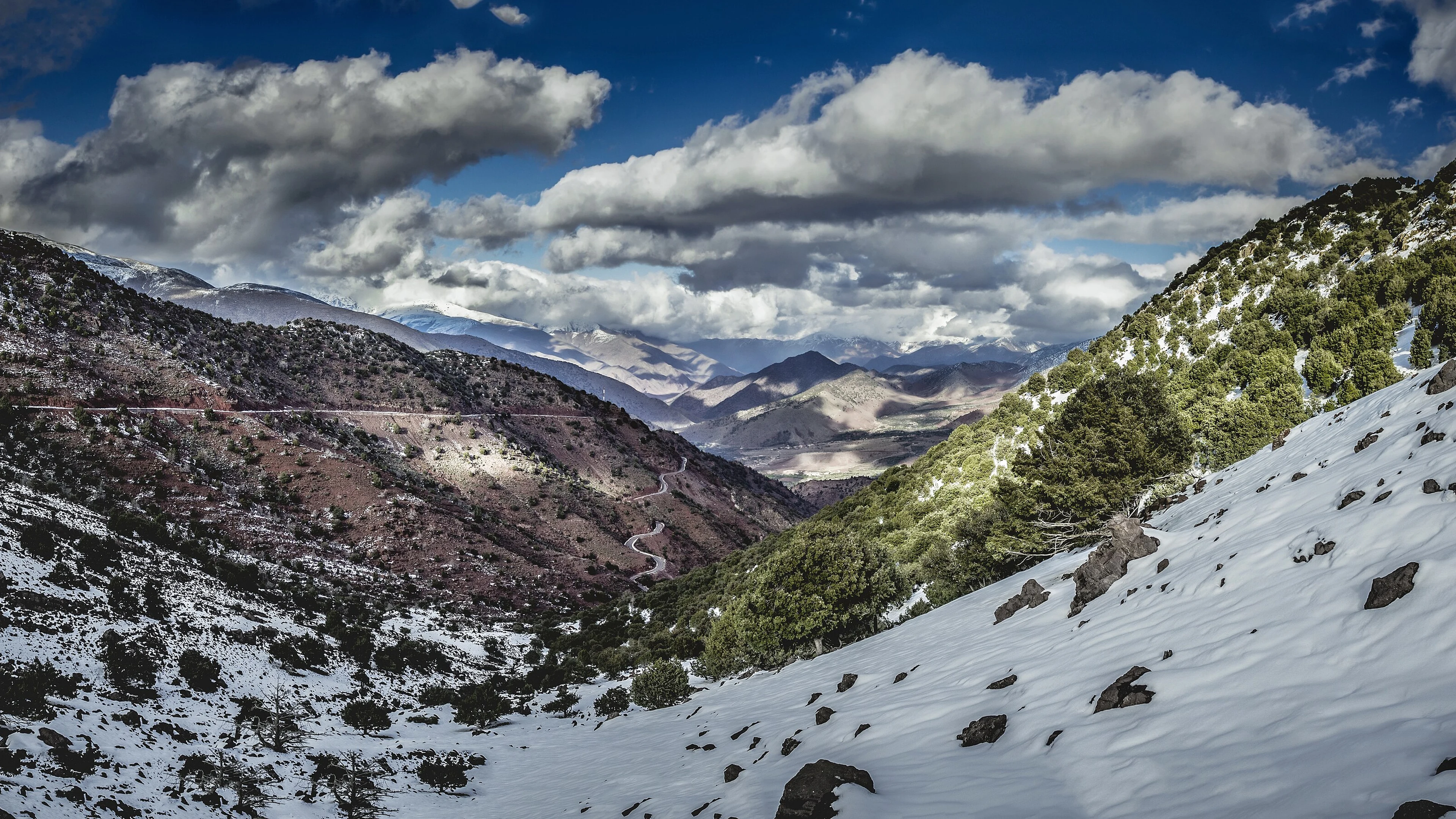
The Rif occupies the north; the Middle Atlas, High Atlas and Anti-Atlas describe distinct mountain systems farther south. These names are useful, but they do not make each range uniform. A valley floor, a forested slope and an exposed pass can belong to the same broad region while supporting different activities and presenting different conditions. “The mountains” is a beginning, not a sufficient description.
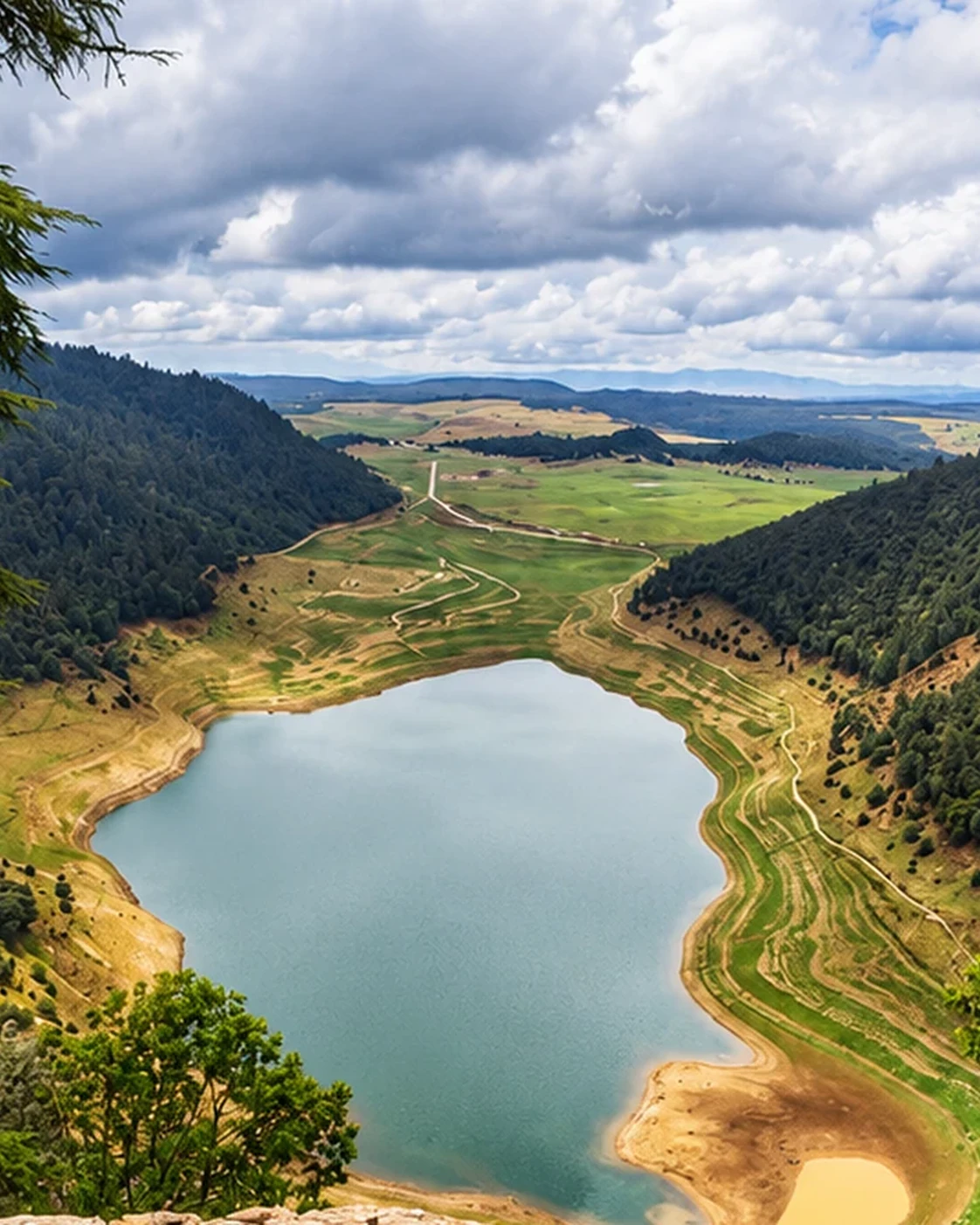
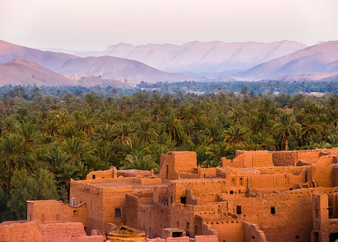
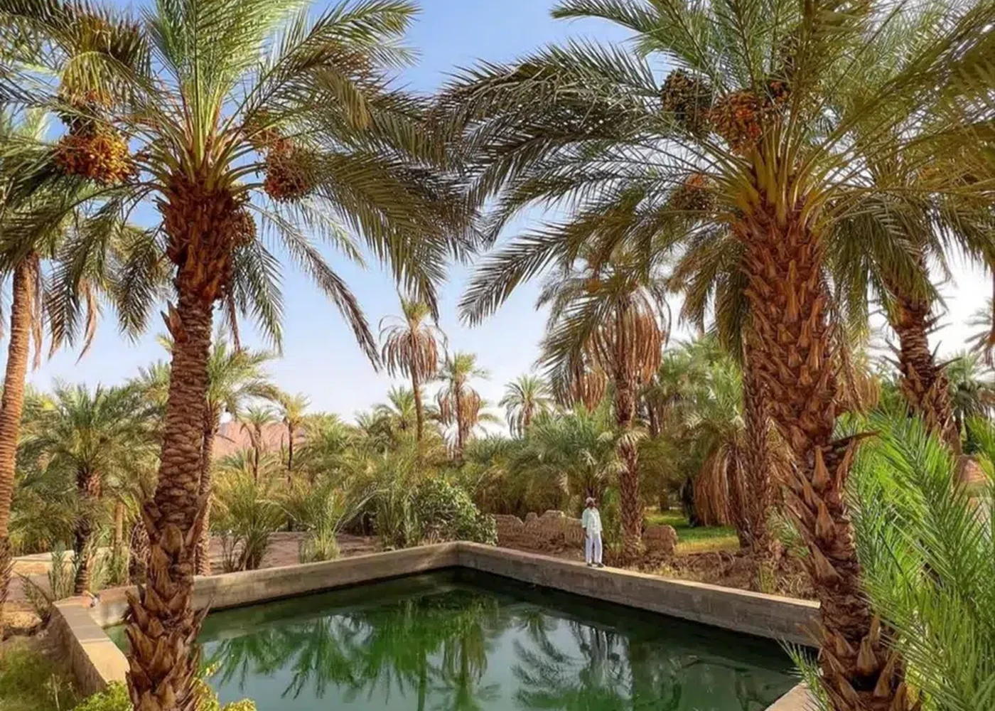
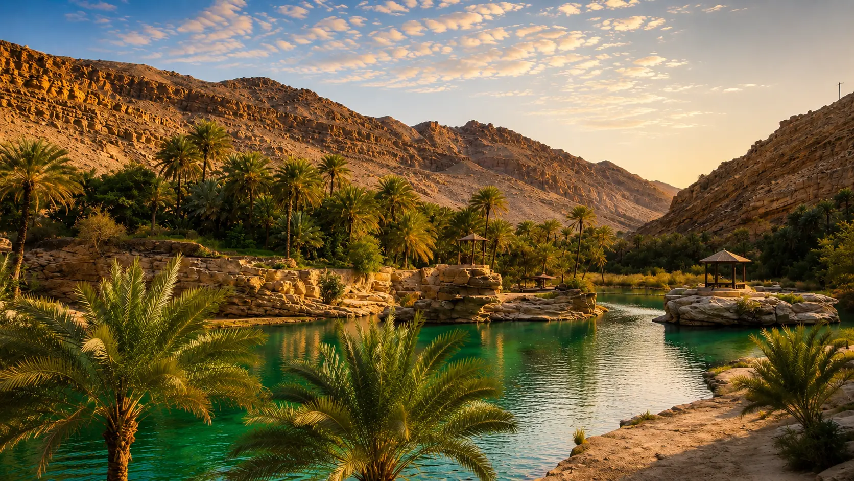
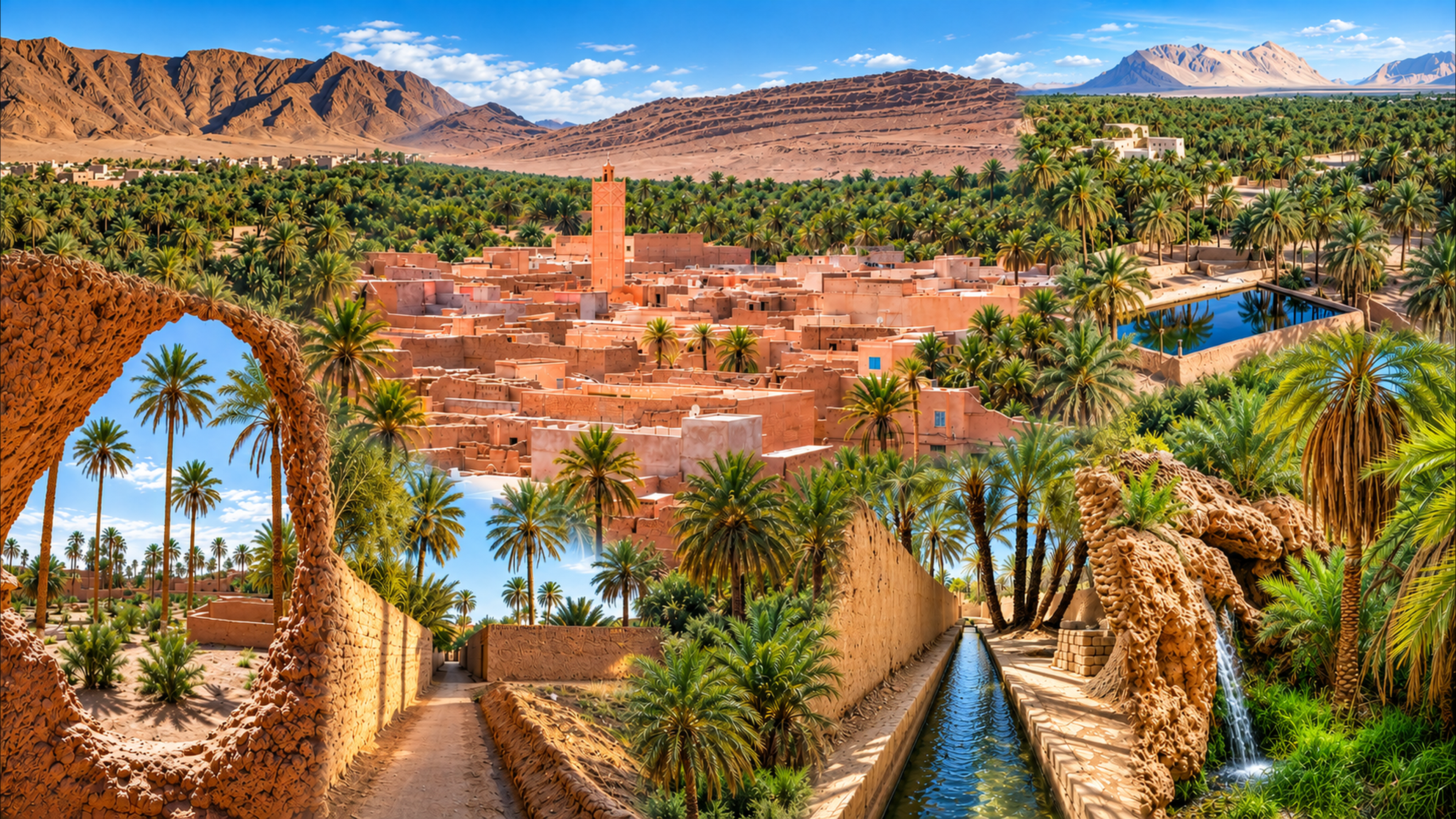
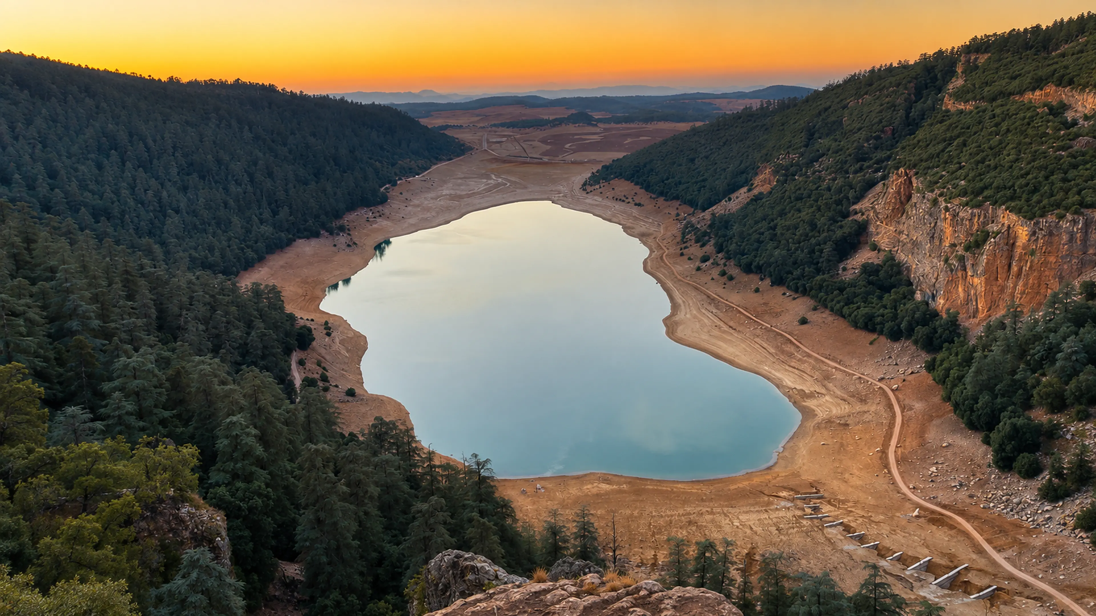
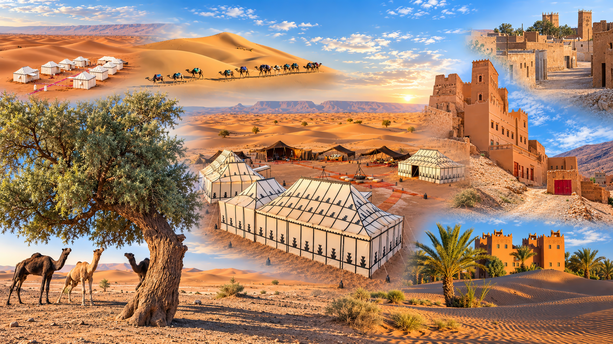
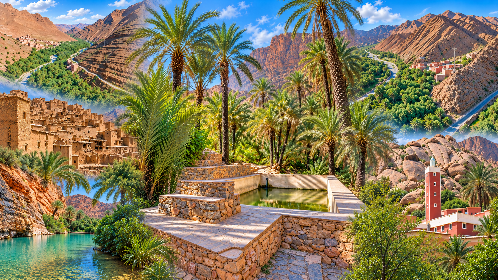
Water connects the picture. Rain and snow in upland areas, river courses, reservoirs, groundwater and irrigation all influence where cultivation and settlement are possible. A green patch in a dry landscape is therefore more than a pleasing contrast. It raises questions about supply, season, labour and the choices that sustain it.