Why Marchica Lagoon matters
A lagoon before it is a view.
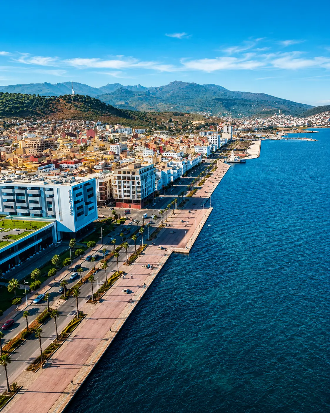
Marchica Lagoon is often admired first as a blue edge beside Nador, but its meaning is larger than scenery. It is a coastal lagoon, a meeting zone where land, sea, wind, urban life, fishing memory and wetland ecology all press against one another.
The place is also known as the Nador Lagoon or Sebkha Bou Areg. Those names help visitors read it correctly: not as an ordinary beach, not as a city park, and not as a decorative waterfront, but as a fragile Mediterranean water landscape with ecological, economic and visual importance for the region.
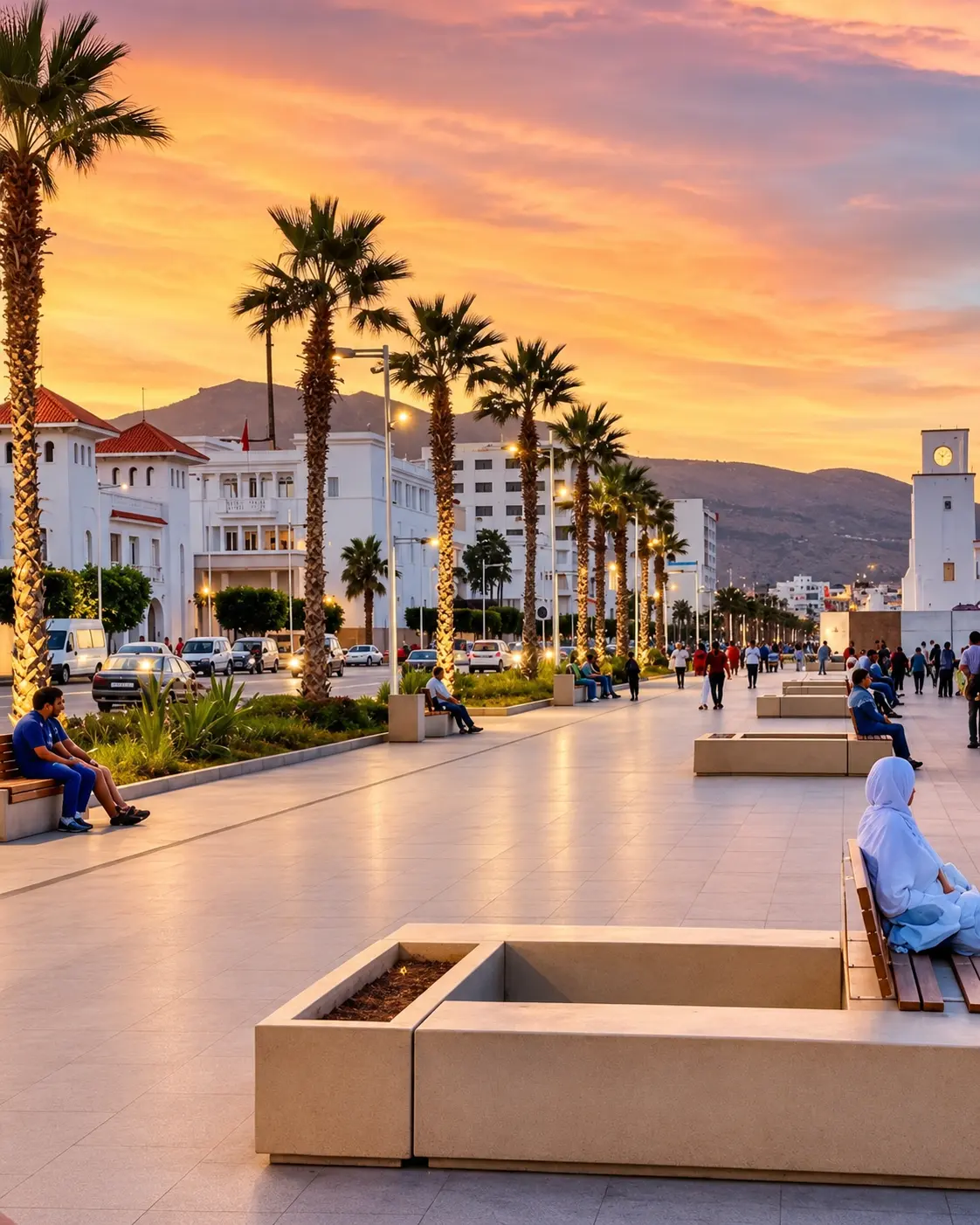
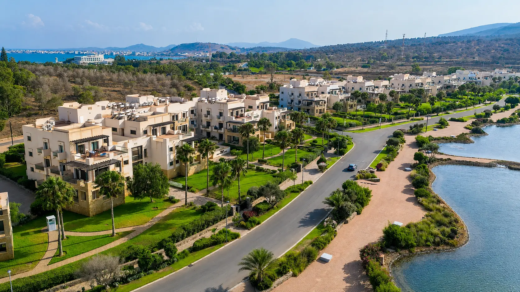
The lagoon matters because it makes northeastern Morocco's coast visible in a different way. Nador is not only a city facing the sea; it is a city shaped by a protected body of water, by promenades and neighbourhood edges, by Atalayoun, by the Gourougou backdrop and by daily life moving along the shore.
Its beauty comes from proportion and restraint. The water opens wide, the city stays close, the hills hold the horizon, and the light changes the same scene repeatedly. A visitor who slows down begins to notice currents, wind texture, shorelines, planted walks, small boats, birds and the human rhythm of evening movement.
The lagoon's protection context is equally important. Environmental sources describe Marchica as a major Mediterranean lagoon whose ecosystem has been made vulnerable by urban, industrial, agricultural and economic pressures. That does not make the visit less beautiful; it makes careful behaviour part of the beauty.
Core place facts are grounded in the Fondation Mohammed VI environmental programme, the Protected Planet profile for Sebkha Bou Areg and Marchica Med visitor context. Practical activities and access conditions should be checked close to travel.