Why Erg Chigaga matters
A sand sea with an oasis behind it.
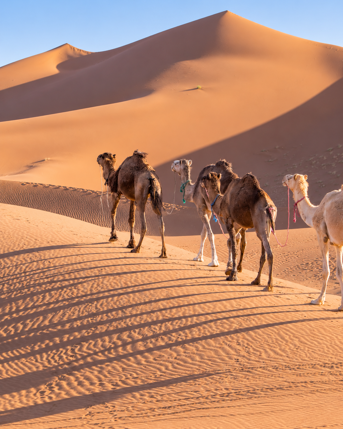
Erg Chigaga, also written Erg Chegaga, is a major dune field west of M’Hamid El Ghizlane in southern Morocco. An erg is an expanse of wind-built sand dunes. The word helps describe what makes this place distinctive: an extended landscape of ridges and hollows, with many possible viewpoints and no single entrance that explains the whole.
Its setting brings two different kinds of desert ground into view. The approach crosses open, firmer terrain before the larger dunes gather on the horizon. Seeing that transition gives the sand its scale. A photograph of a crest can be beautiful, but it leaves out the surrounding ground that makes the crest feel so high and so far away.
M’Hamid is the practical gateway for an eastern approach. This connection matters because a visit depends on arrangements made before leaving the settlement: transport, local knowledge, water, shelter and a clear return plan. The dunes may dominate the image of the journey, while the town and the people organising it make that journey possible.
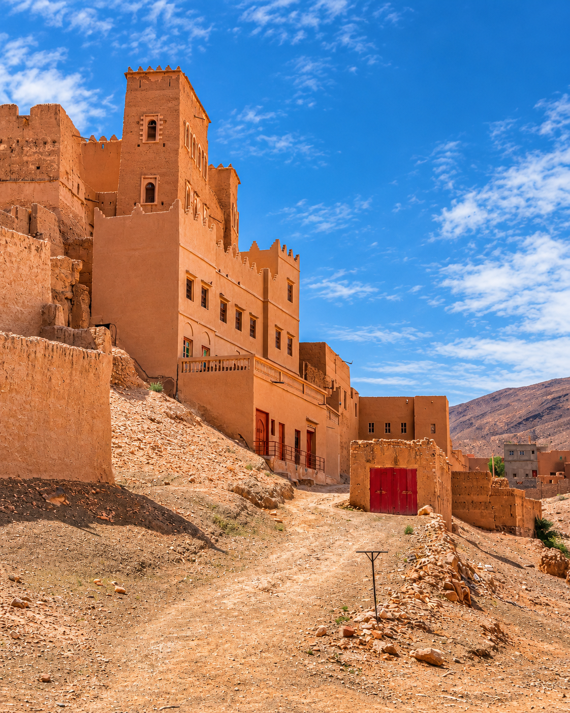
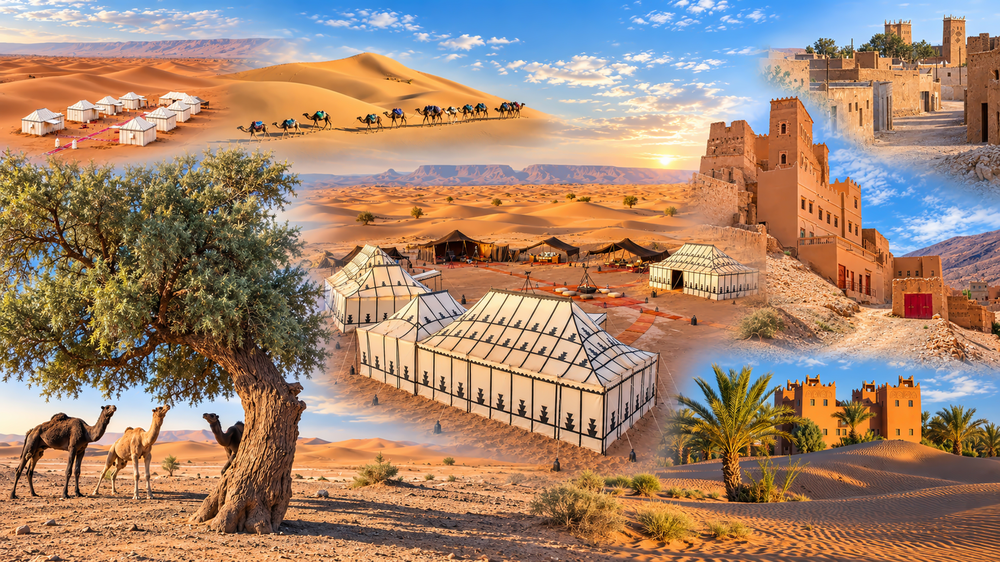
The wider southern landscape also includes the Drâa’s palm groves, mineral plains and the Iriqui area. Morocco’s national tourism office presents these places together as a varied natural region to explore with a guide. Chigaga gains meaning within that variety; an oasis, a rocky plain and a dune field each reveal a different relationship between ground and water.
For visitors, the most useful shift is to think beyond a summit or a sunset appointment. Notice how much ground lies between the first visible ridge and the point where you step out onto sand. That interval is an essential part of Chigaga: it gives the visit a sense of depth before any climb begins.
Regional context: Moroccan National Tourist Office. Wind-built landforms: National Park Service geology guide.