Why M'Goun matters
A geopark before it is a postcard.
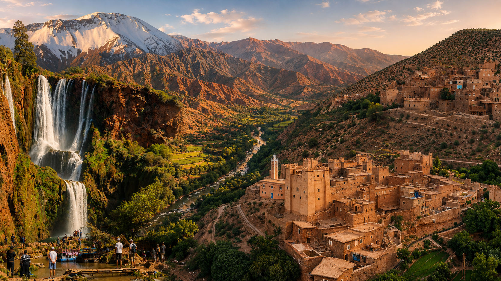
M'Goun matters because it changes the way the Central High Atlas is read. The visitor is not looking only at mountain scenery, but at a protected geoheritage territory where folded rocks, red clays, limestone, water, villages and routes make the landscape intelligible.
UNESCO describes the geopark as sitting east of Marrakesh in the Central High Atlas and bearing witness to more than 200 million years of Earth history, with major stages connected to the Jurassic period. That scale gives the place its quiet authority: cliffs, gorges and valleys are not background. They are evidence.
The official M'Goun Geopark materials present a territory of 5,730 km2 with more than 100 inventoried geosites, including 22 labelled and geoconserved sites across 15 communes. For visitors, this means the experience should be built around routes, interpretation and careful selection, not a rushed attempt to consume everything.
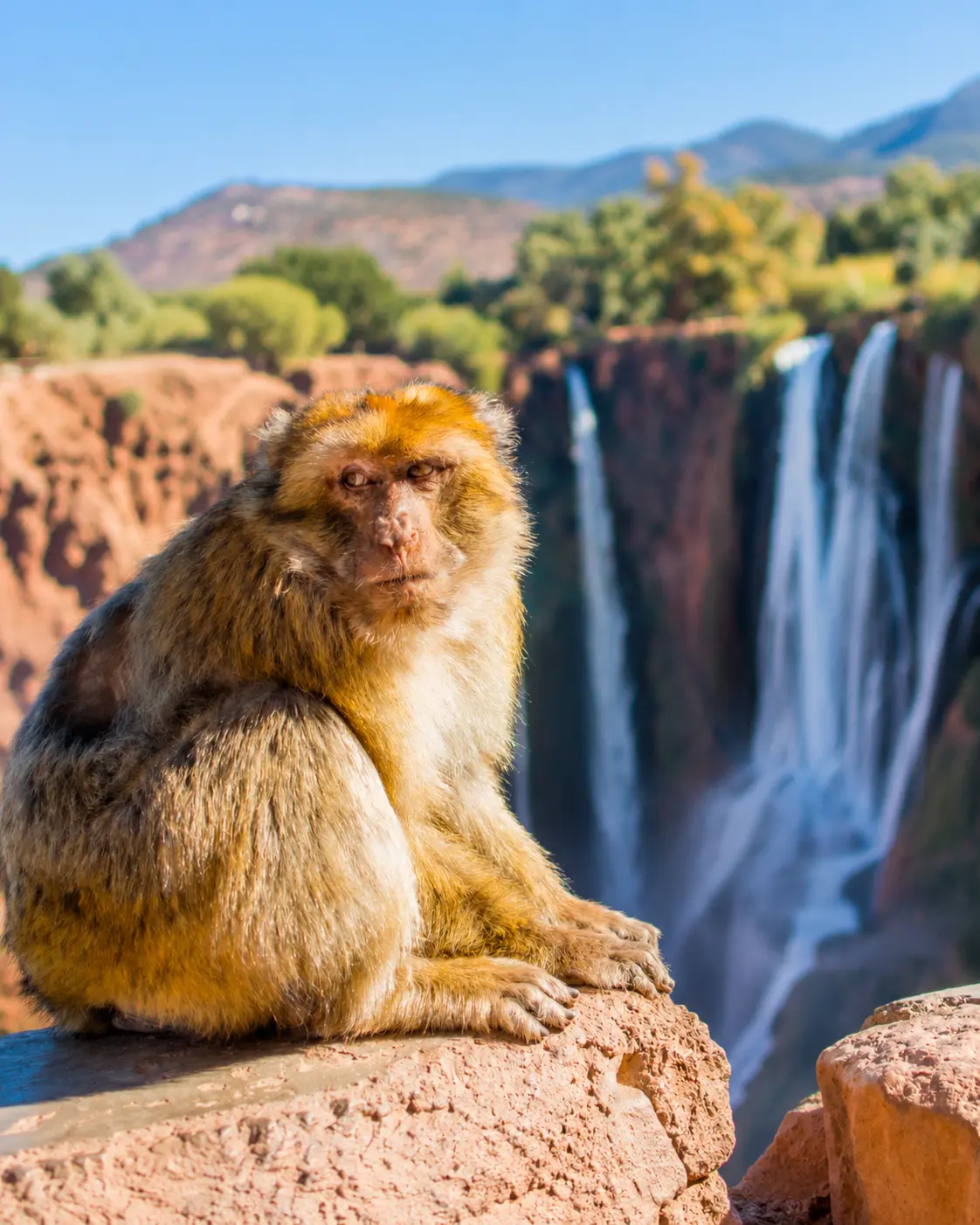
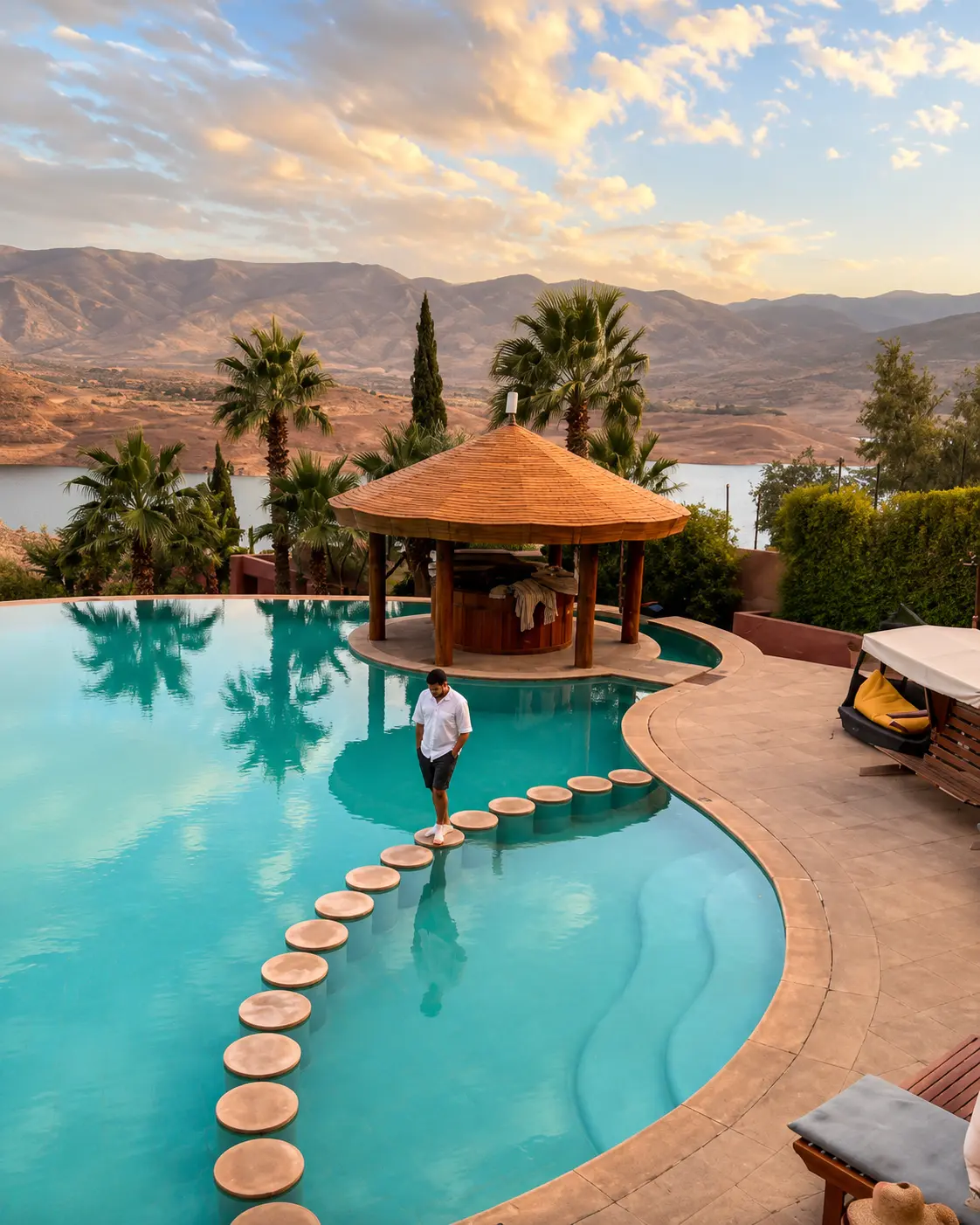
Its visitor value is unusually layered. Ouzoud Waterfalls, Imi n'Ifri, Bin El Ouidane, mountain valleys, dinosaur footprint sites, rock forms and local settlement patterns all belong to the same broader frame. The geopark is where natural history, cultural geography and responsible mountain travel meet.
Azilal gives the strongest nearby city context. It helps visitors connect museum orientation, mountain routes, waterfall landscapes and onward travel through the Beni Mellal-Khenifra region without reducing M'Goun to one image or one stop.
Core facts are grounded in the UNESCO profile for M'Goun UNESCO Global Geopark and the official M'Goun Geopark material. Practical access, road conditions, local guidance and seasonal conditions should be checked close to travel.