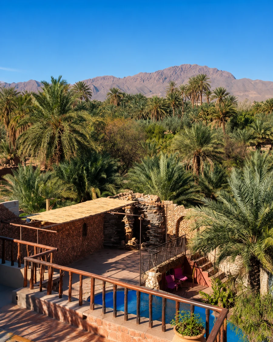
Figuig
Infrastructure and shared arrangements need to be read together.

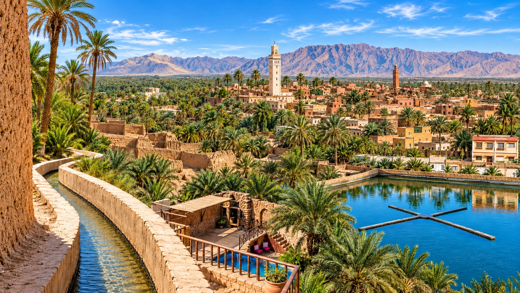
Water, cultivation and settlement as one system
Understand oasis landscapes through the relationships between water, productive ground, buildings, collective arrangements and exchange, from Figuig to the southern valleys.
An oasis is not simply a green interruption in dry ground. It is a landscape whose visible parts depend on relationships: a source and its distribution, cultivated plots and their care, buildings and access, households and shared arrangements. A palm panorama shows only some of that structure. Reading the system means following connections that may be small, partly hidden or explained best by the people who maintain them.
Figuig provides a documented eastern reference for social water and land management. Tinghir, the Drâa around Zagora and the Tafilalet setting around Rissani offer other places in which to develop the questions. Their systems should not be assumed identical. The point of this comparison is to recognise what needs to be understood locally, while keeping water, cultivation and settlement together in the account.
Infrastructure and shared arrangements need to be read together.
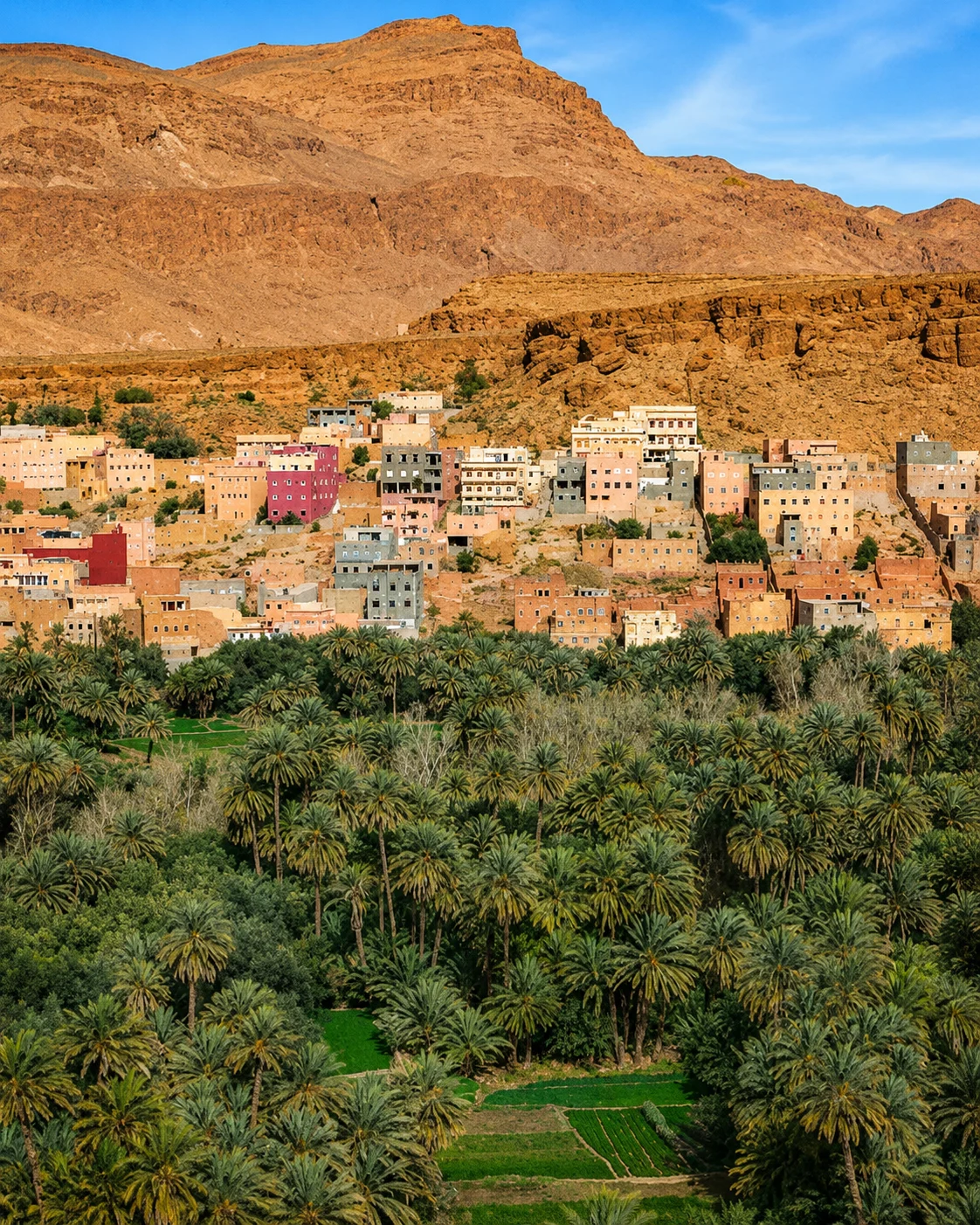
A dramatic landform should not hide the working valley beside it.
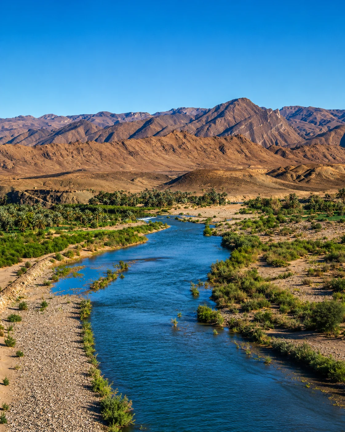
A valley does not have one uniform condition or appearance.
Exchange and settlement broaden the view beyond palms and dunes.
Begin with something visible: a basin, channel, cultivated edge, shaded path or settlement entrance. Ask what it connects and whether it is currently in use. Move outward from that specific explanation to the wider landscape. Figuig is a substantial eastern journey; Tinghir, Zagora and Rissani belong to different southern settings. The conceptual connection does not imply a short continuous road route between all four.
Figuig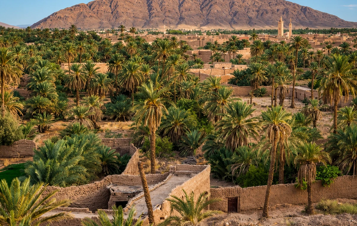 Figuig
 Tinghir & the Todgha Valley
 Zagora & the Drâa
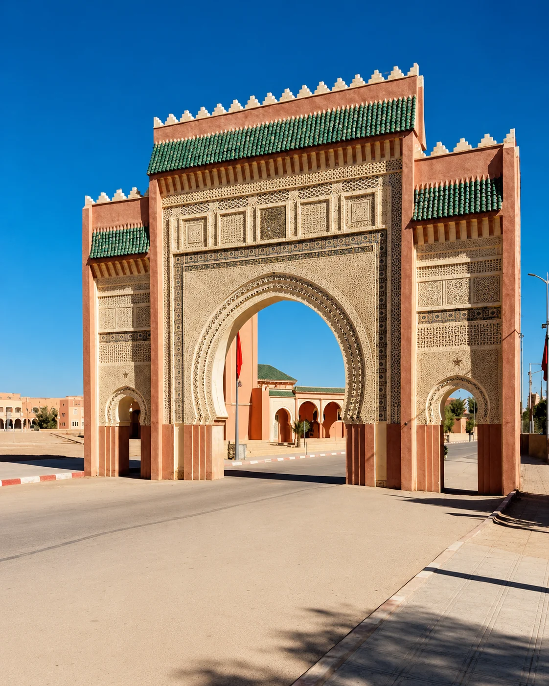 Rissani & the Tafilalet Setting
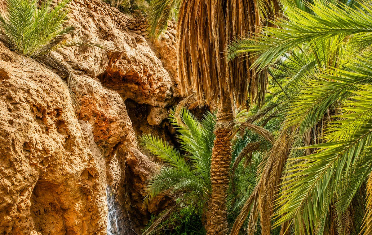 Figuig
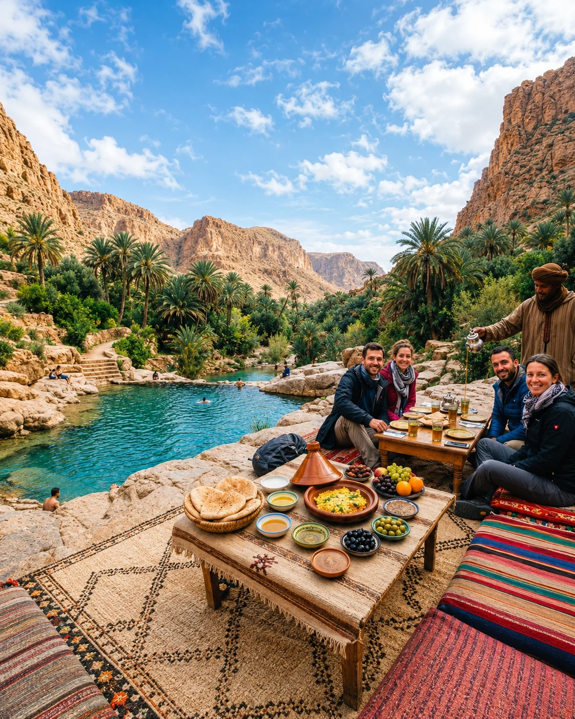 Tinghir & the Todgha Valley
Look for the relationships that make each place distinct.
Water has to reach particular users through infrastructure and arrangements. A visible spring, well or flow cannot by itself explain who receives water or when. Separate the physical source from the network and the rules governing its use.
Planting can be organised vertically, seasonally and across different plots. Look at the actual crops and their condition rather than assuming every oasis matches the same diagram. The work of cultivation includes choices about maintenance, use and changing circumstances.
Homes, storage, paths and productive ground occupy related spaces. A compact earthen settlement is not merely a scenic border to the palms. Its arrangement and present use need to be understood alongside the agricultural landscape and the routes connecting it elsewhere.
A channel does not maintain itself, and a historic arrangement continues only through practice or adaptation. Ask who can explain the system today. The heritage lies partly in knowledge, cooperation and work that may be less visible than an architectural landmark.
Understand oasis landscapes through the relationships between water, productive ground, buildings, collective arrangements and exchange, from Figuig to the southern valleys.
A documented social water system
See the cultivated ground before the gorge
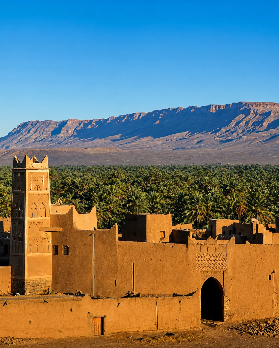
Read variation along a corridor
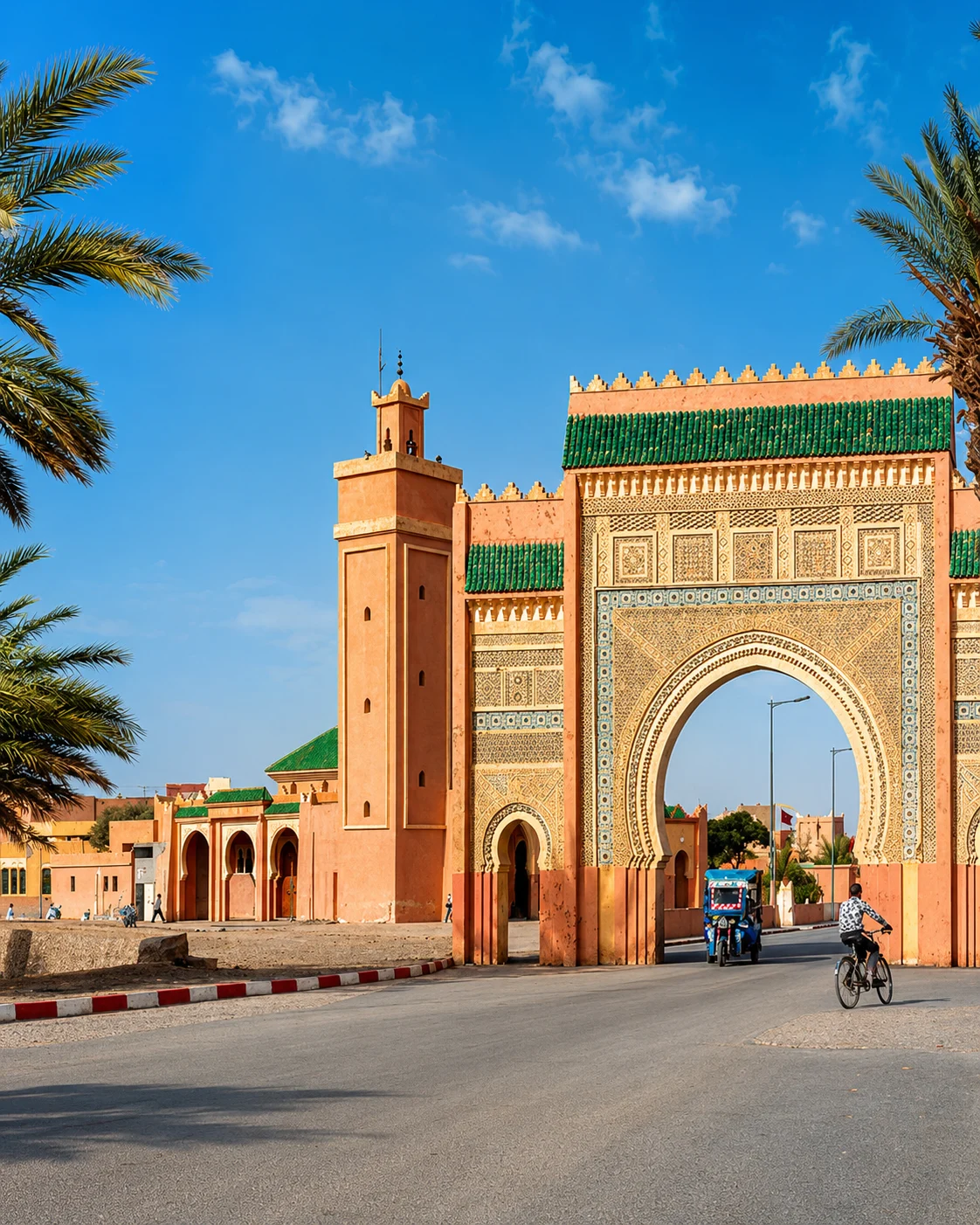
Connect the town with the wider oasis geography
This is an observational framework. The actual technologies, terms and arrangements must be established for the place being discussed.
Identify what is known about the water's origin and seasonal availability. Do not infer a source from the appearance of a channel. A local technical explanation or documented account is needed to move from a visible feature to a claim about supply.
Trace the connections between collection, storage and delivery only where access permits. A branch or junction may be significant, but its role needs explanation. Infrastructure can be altered, repaired or inactive, so an old diagram may not describe current use.
Physical access to water and the right to use it are different matters. Ask how a particular system organises turns or shares, without assuming one village's account applies throughout a valley. Social arrangements are part of the landscape's functioning.
Record the plants actually present and distinguish what you see from what a guide explains about another season. A productive plot is a working space. Its small scale can conceal considerable labour and knowledge about water, soil and timing.
Look at routes between built places and productive ground. Entrances, walls and passages may organise access as well as shade or enclosure. Use the local name for a structure when it is explained, rather than labelling every earthen building a kasbah.
An oasis connects with other places through food, goods, labour and services. A market or road belongs to that wider geography. The system is easier to understand when it is not presented as an isolated self-contained garden outside contemporary economic life.
Infrastructure and shared arrangements need to be read together.
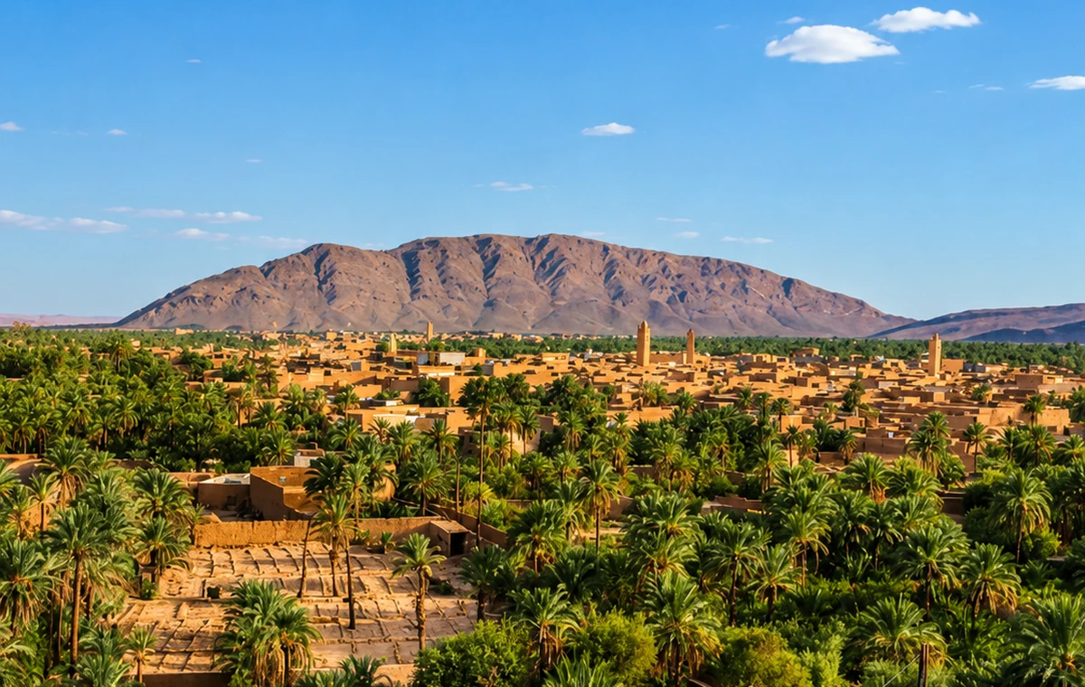
FAO's account of Figuig describes spring-based ksour, irrigation networks and connections between farming and pastoral communities. It identifies layered cultivation with date palms, fruit trees and lower crops. Water allocation is described through timed shares, alongside collective maintenance. These specific details make Figuig a strong reference for understanding an oasis as an organised system rather than an image of greenery.
Use that account to prepare questions for a local visit, not to assume that every visible channel is operating exactly as a summary describes. Ask which feature is being shown, what is active now and where a visitor may walk. The compact settlement and productive ground should remain connected in the interpretation. Equally, Figuig's eastern location deserves proper travel planning: it is a destination with its own context, not a quick addition to a southern dune itinerary because both places can be called oasis landscapes.
Figuig Palm OasisFiguig Oasis EdgePalm Groves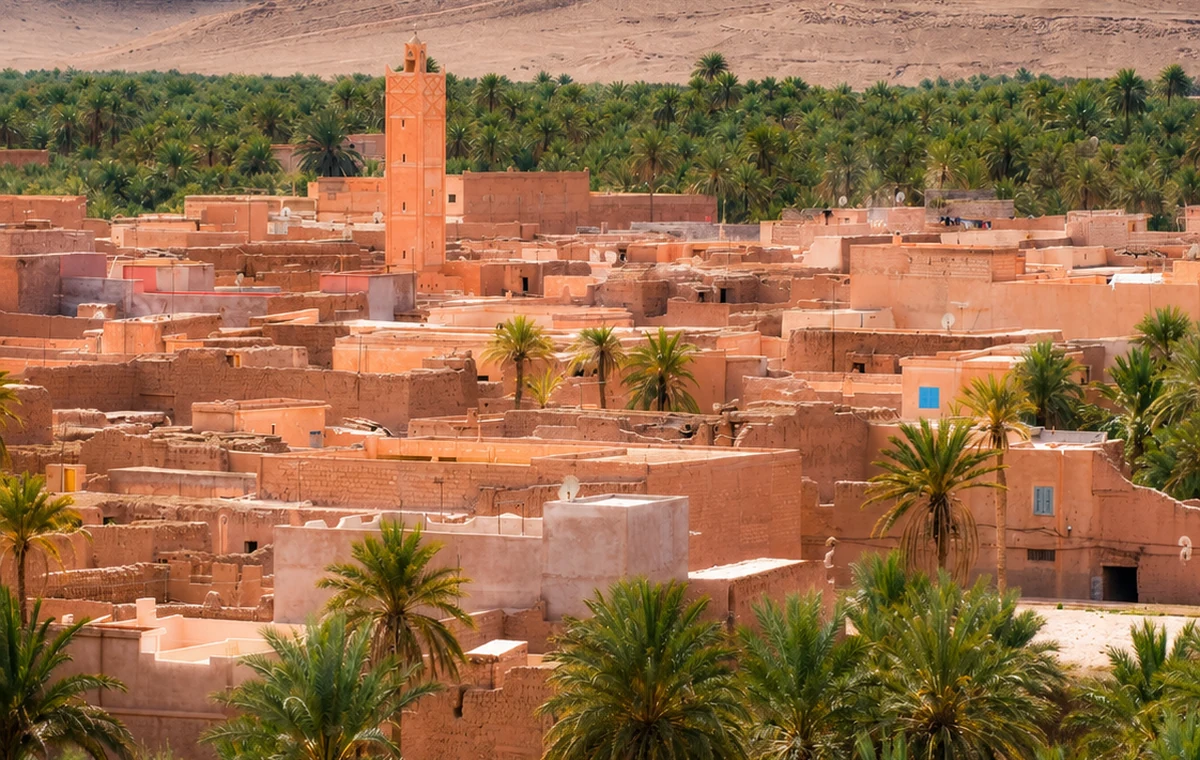 Ksour And Palms
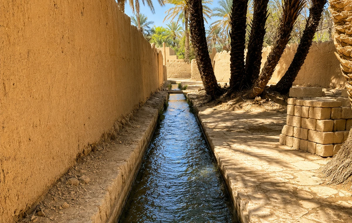 Water Channels
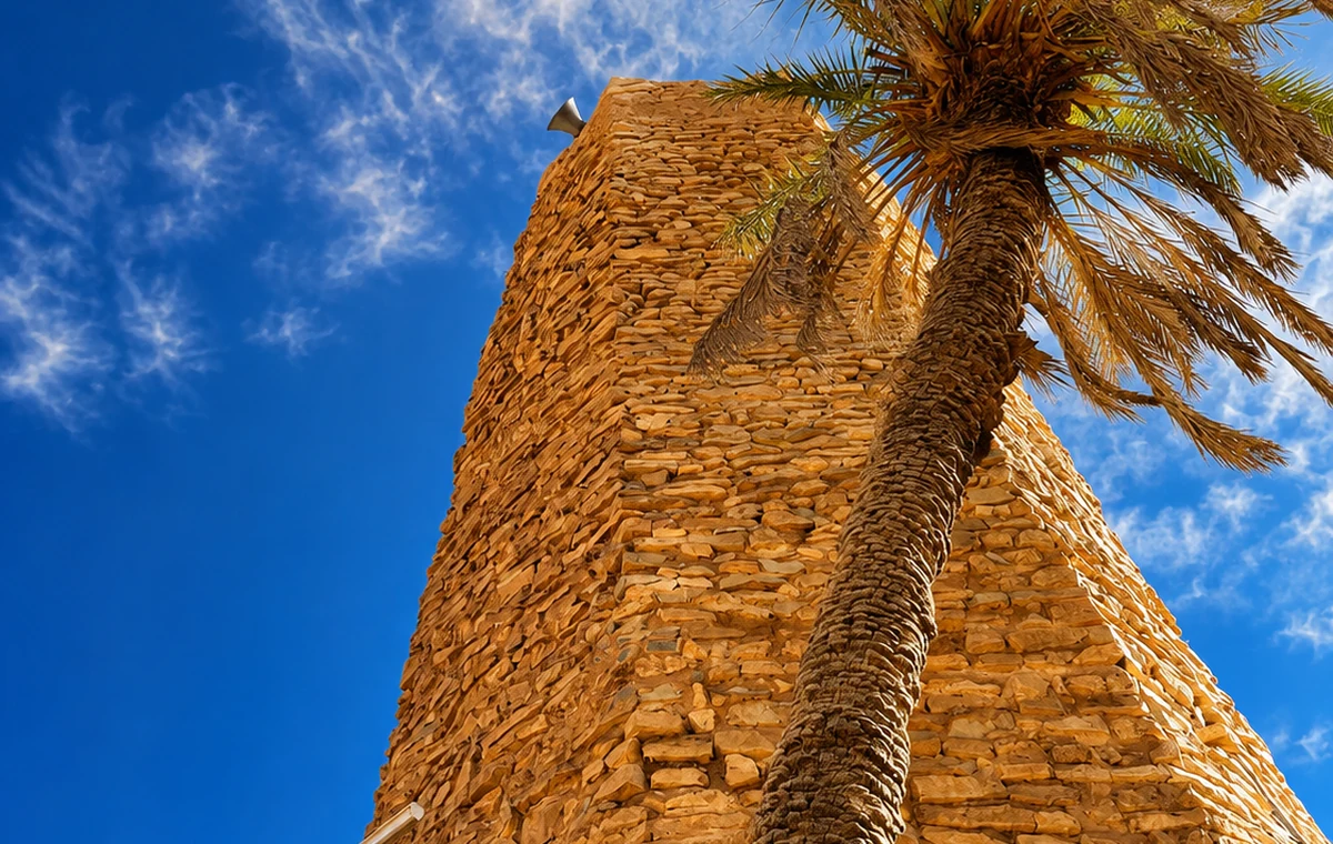 Date Palms And Tower
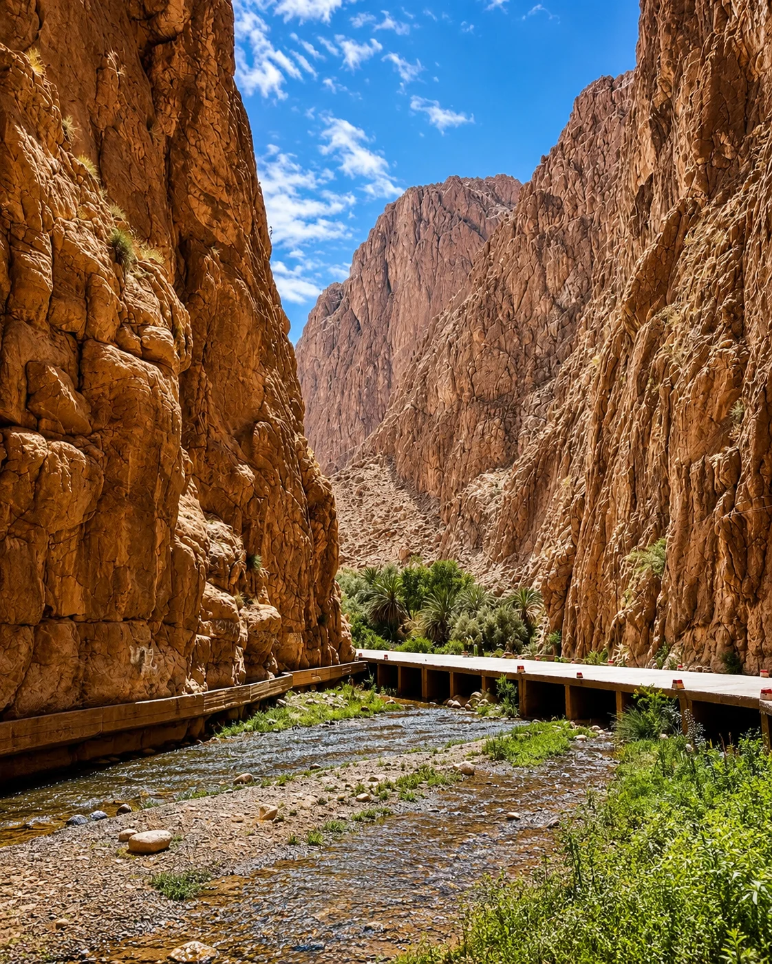
 Borderland HeritageTodra oasisTodra GorgeTodra palms
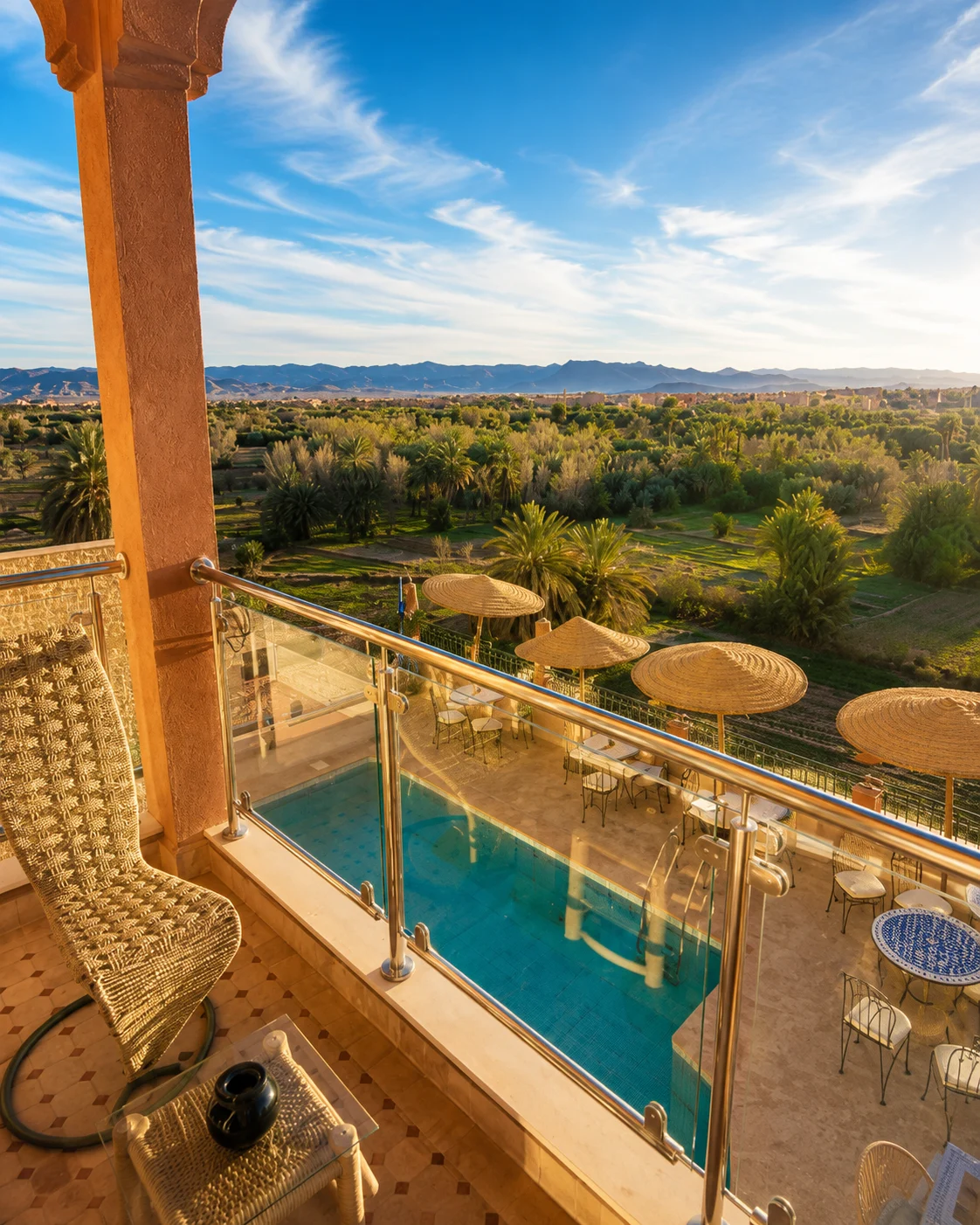 Tinghir oasis
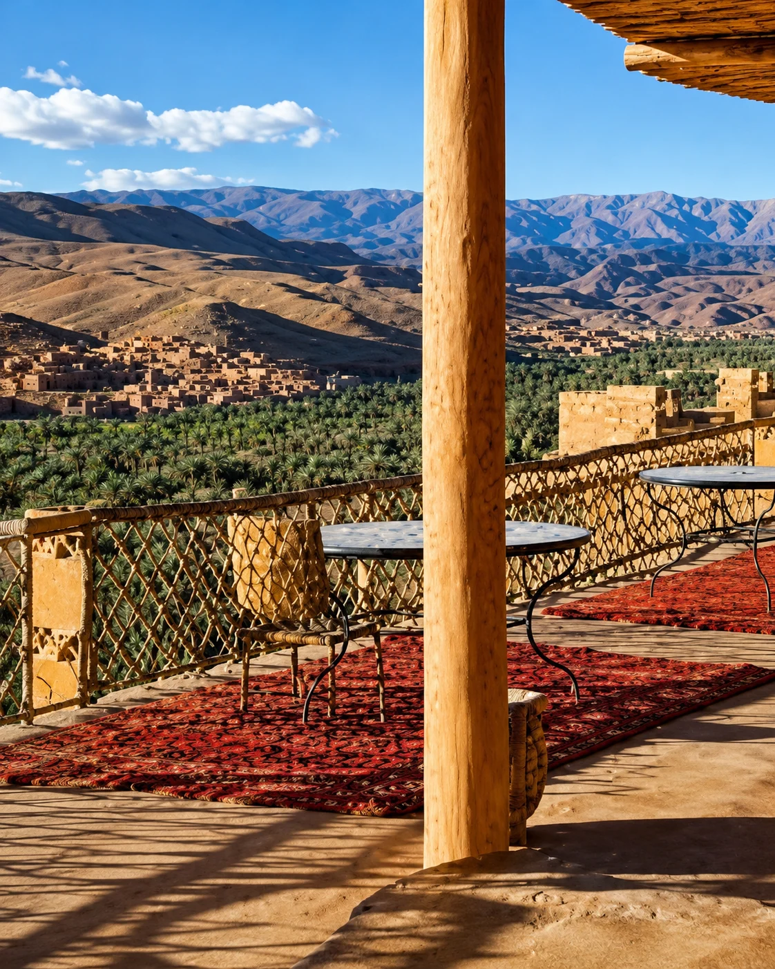 Old kasbahs
 High Atlas edge
 Valley road
A dramatic landform should not hide the working valley beside it.
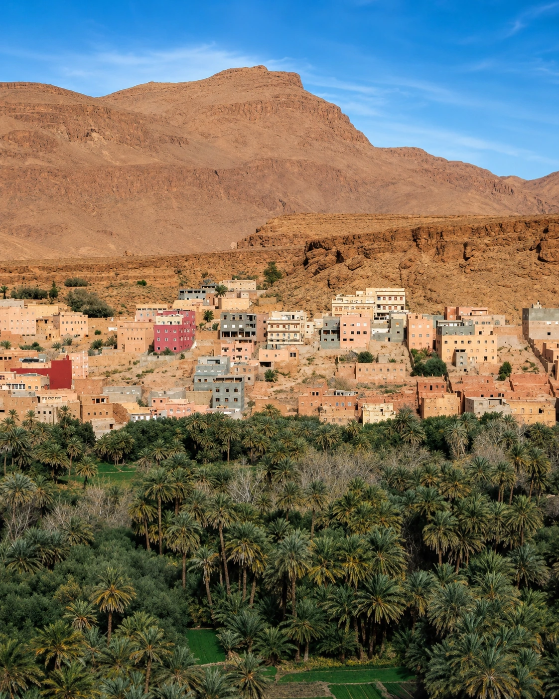
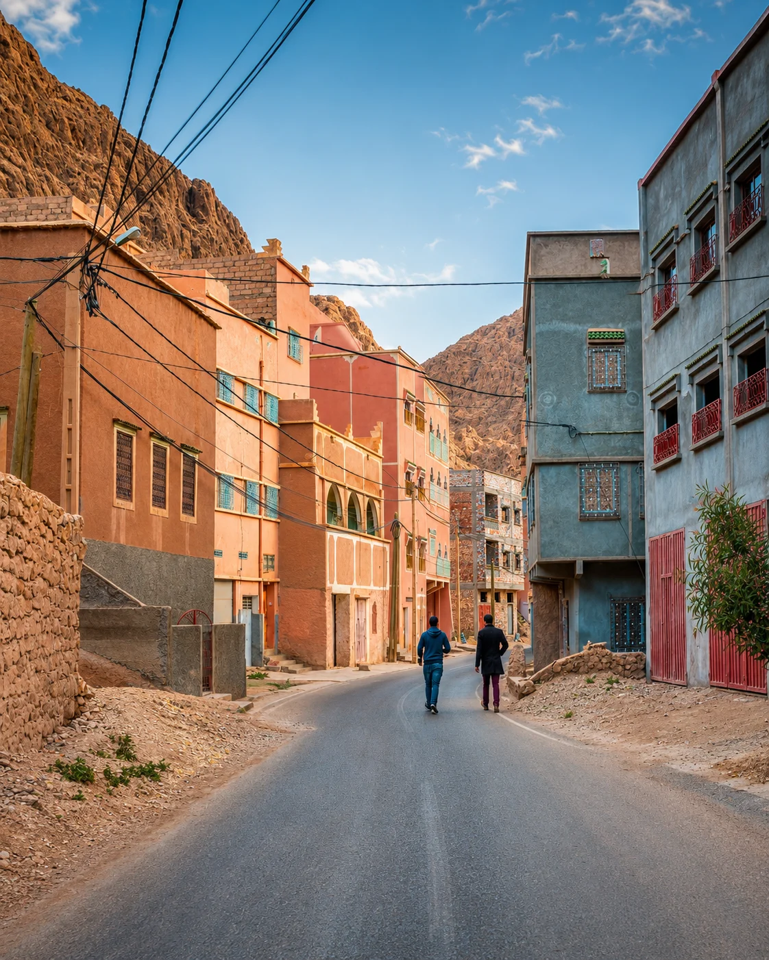
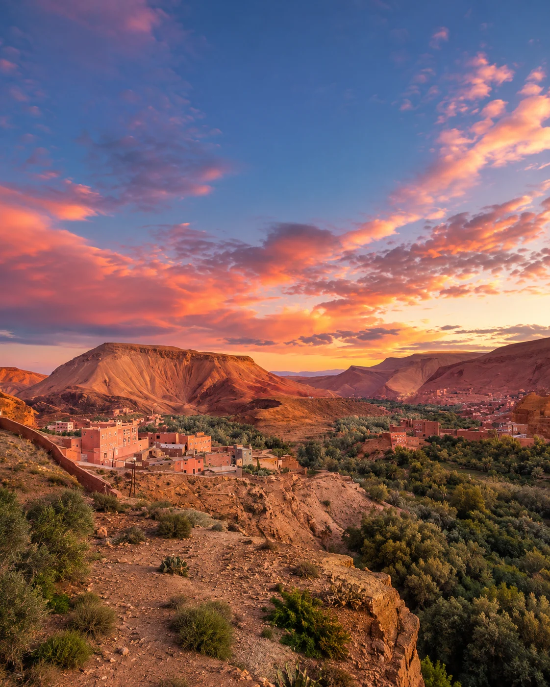
Around Tinghir, the relation between settlement, palms and the valley's form offers an accessible beginning to an oasis reading. From an appropriate route, look for the edge between built and cultivated ground. Where do paths enter, where does shade gather, and which visible features suggest movement of water? These observations define useful questions without claiming to explain the whole system from a viewpoint.
A local guide can help distinguish an active feature from a remnant, or explain how a particular plot fits into the surrounding landscape. Keep those explanations tied to the place. The Todgha gorge adds another physical scale, but it should not absorb all the attention given to the valley. Time in town and a considered agricultural walk can reveal different parts of the relationship. Productive land remains a workplace with boundaries, even when a path through palms looks like an inviting public garden.
A valley does not have one uniform condition or appearance.
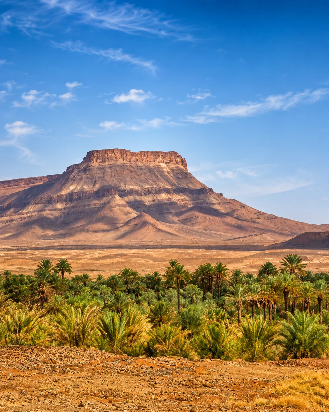
The Drâa setting around Zagora encourages comparison along a wider corridor. As you travel, notice changes in the relation between road, settlement and cultivation. A green stretch, an open area and a town may be parts of the same journey without representing identical water conditions or land use. Resist turning one photograph into a general statement about the entire valley.
Choose a stop where a knowledgeable person can explain a particular feature. The question might concern a building's use, a cultivated plot or the way a route connects neighbouring places. A small account with a named setting is more valuable than an expansive story of timeless caravan life. Contemporary services, roads and markets also form part of the valley's logic. They show how a place with inherited agricultural and architectural knowledge continues to participate in wider patterns of movement and exchange.
Drâa gatewayDrâa ValleyPalm oases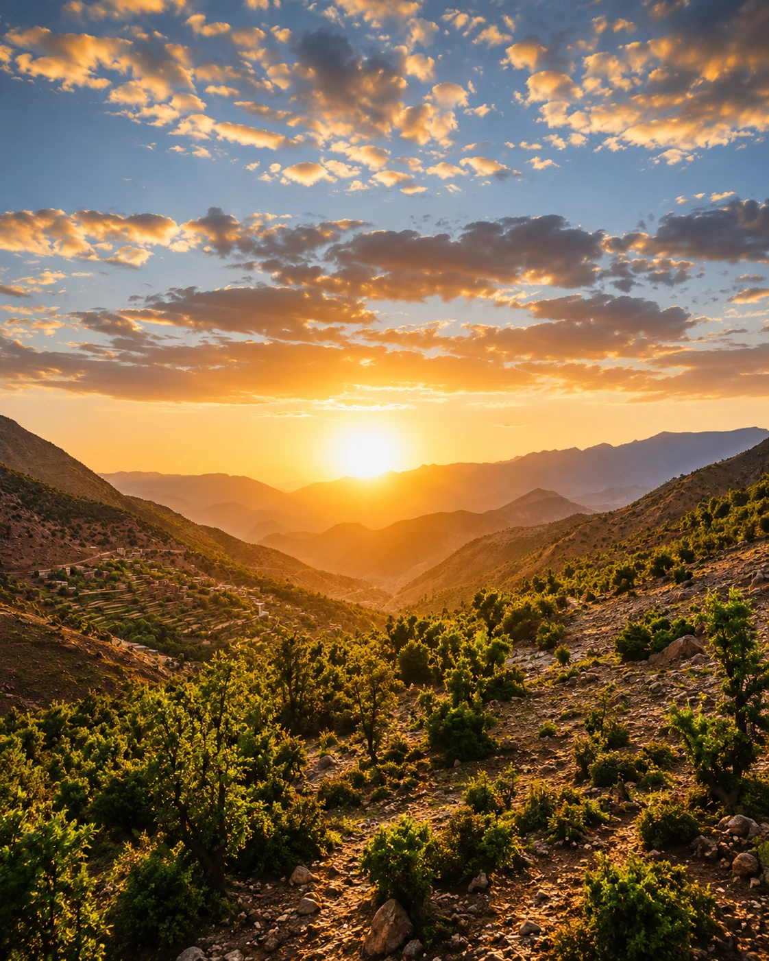 Zagora sign
 Tamgroute
 Tinfou dunes
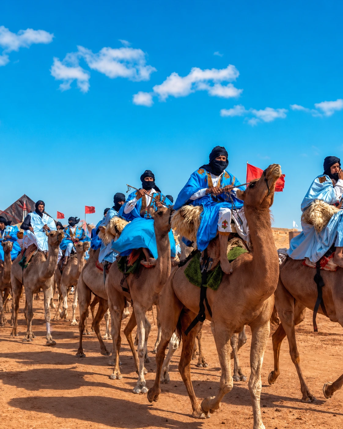 Caravan routeHistoric marketRissani soukTafilalet
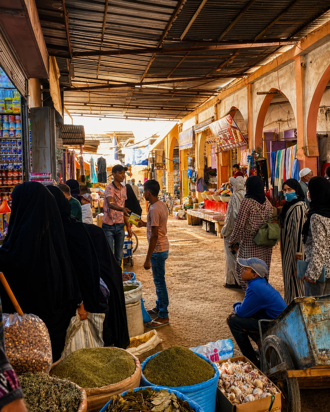 Moulay Ali Cherif Mausoleum
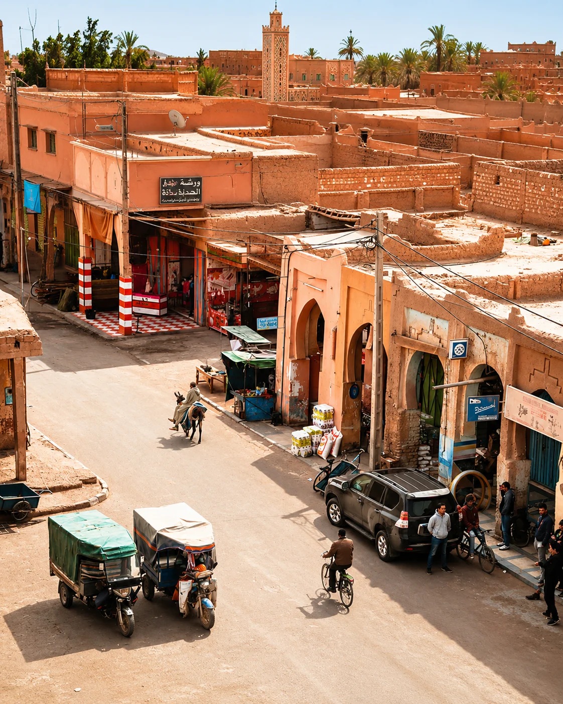 Ksour
Ksour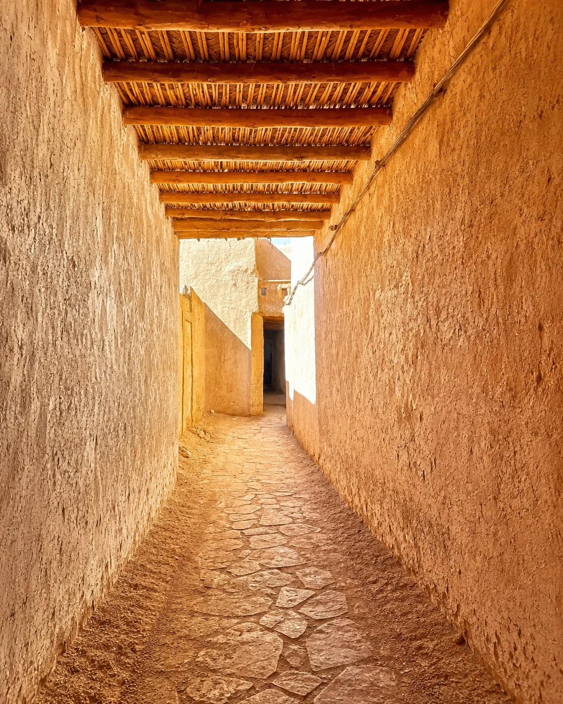 Sijilmasa memory
 Oasis routes
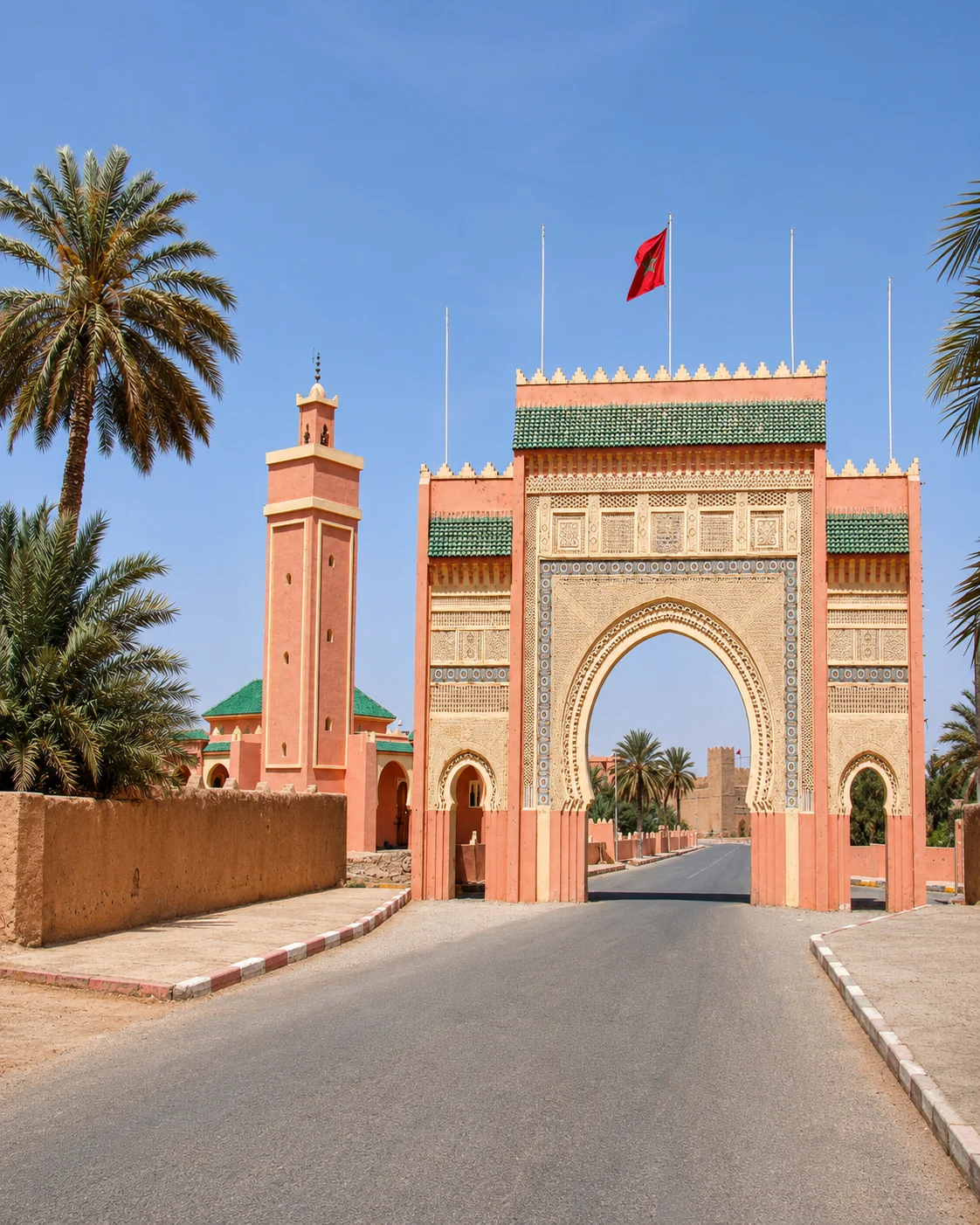
Exchange and settlement broaden the view beyond palms and dunes.
Rissani provides a useful counterweight to an itinerary focused only on the nearby dune experience. Begin in the inhabited town, where commerce and movement make connections visible. Ask about a particular product or route rather than assuming everything present belongs to a single local agricultural cycle. The wider Tafilalet setting deserves an account that includes towns, productive ground and contemporary networks alongside its historical associations.
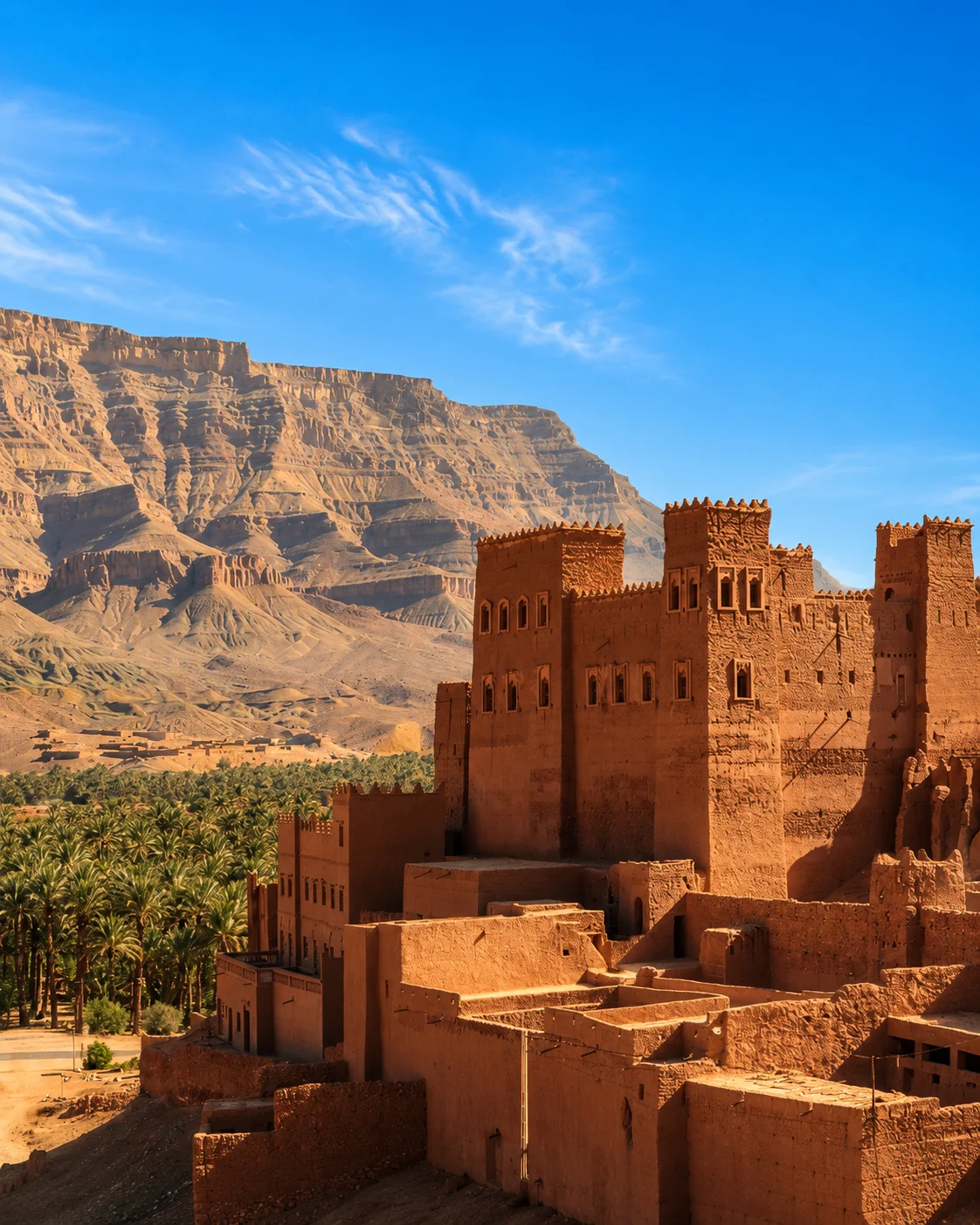
If you visit an earthen settlement or agricultural area, establish its actual name, present use and access arrangements. A broad regional label cannot substitute for that local information. Compare the relationship between buildings and surrounding ground with what you learned elsewhere, keeping differences visible. The value of Rissani in this layer is not to complete a checklist of oasis forms; it is to show that the system extends into exchange, services and urban life, beyond the green or sandy landscapes that usually dominate a visitor's first expectations.
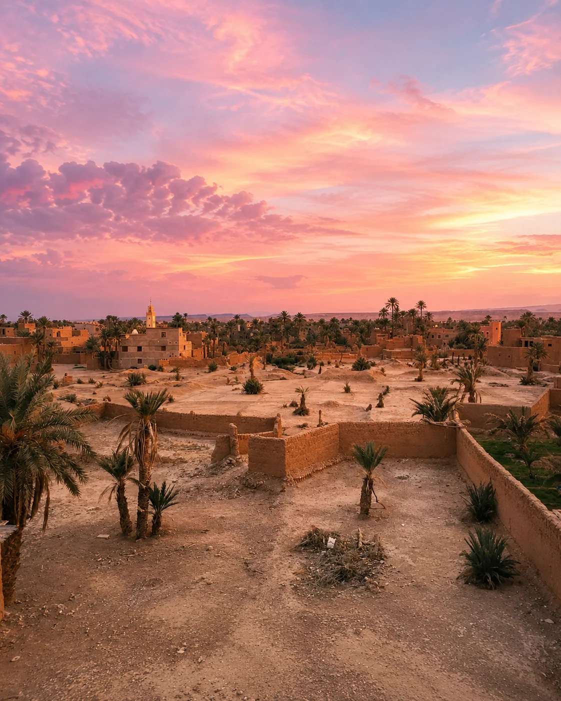
Figuig · Ksour And PalmsTinghir & the Todgha Valley · Tinghir oasisZagora & the Drâa · Zagora signRissani & the Tafilalet Setting · Moulay Ali Cherif MausoleumFiguig · Water ChannelsTinghir & the Todgha Valley · Old kasbahsZagora & the Drâa · TamgrouteRissani & the Tafilalet Setting · KsourFiguig · Date Palms And TowerTinghir & the Todgha Valley · High Atlas edgeZagora & the Drâa · Tinfou dunesRissani & the Tafilalet Setting · Sijilmasa memoryWhen built places are viewed separately from cultivation, the oasis can split into two attractive but poorly understood subjects. Look instead at paths, entrances and the relation between enclosed and open ground. Ask how a structure is used and maintained now. The distinction between a ksar, a kasbah, an individual home and a ruin matters; their visual similarity as earthen forms does not make their functions or histories the same.
Ksour, irrigation, cultivation
Settlement edges, paths, water clues
Roads, settlement, cultivation
Markets, settlement, wider connections
The schematic links questions across the eastern and southern oasis settings. It does not show a scale route or imply identical irrigation arrangements. Choose one area for a careful visit, using current road information and local access advice. Oases & Dunes helps translate this interest into a travel mood; the regional pages offer broader geographic context.
FiguigSocial water and land managementTinghir & the Todgha ValleyValley and productive groundZagora & the DrâaVariation within the DrâaRissani & the Tafilalet SettingTown and oasis regionA few considered choices make the connections between these places more useful.
A short walk can reveal arrangement and support a conversation, but it cannot establish the state of a whole water system. Record the place, date and source of an explanation. Avoid making broad claims about scarcity, abundance or sustainability from the colour of the vegetation alone.
Ask what work keeps a visible feature functioning and how that work is organised. Repair and adaptation may be less picturesque than a palm silhouette, but they are central to understanding a lived landscape. Present-day knowledge deserves attention alongside the historical account of a technique.
The Atlas mountain oasis reference shows that the word oasis can belong to a different climatic and agricultural setting from a warm palm valley. Use the comparison to widen the questions, not to erase differences. Altitude & Villages follows that connection into settlement and cultivation in the mountains.
Historical and geographical references reviewed in September 2026. Route pairings and looking suggestions are Exotic Morocco editorial guidance. Check current access and transport arrangements before travelling. Existing regional library imagery is retained; photographs and illustrations do not establish present-day access or conditions.
Open the individual place guides for local context and a more detailed visit. Return to Regions to compare other landscapes and cultural connections.
Infrastructure and shared arrangements need to be read together.
A dramatic landform should not hide the working valley beside it.
A valley does not have one uniform condition or appearance.
Exchange and settlement broaden the view beyond palms and dunes.