Ouarzazate
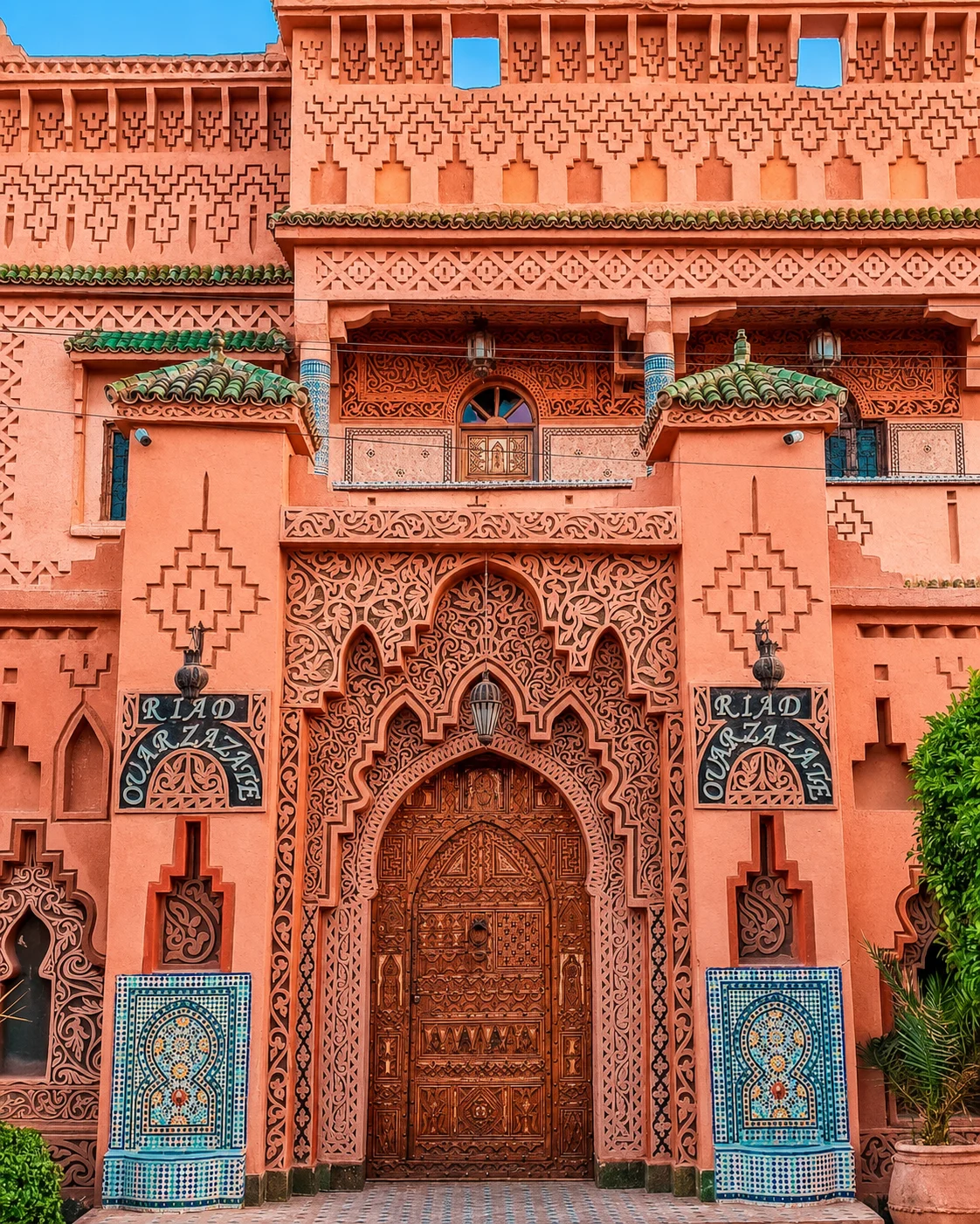
Use a base to connect earthen heritage with its wider setting.

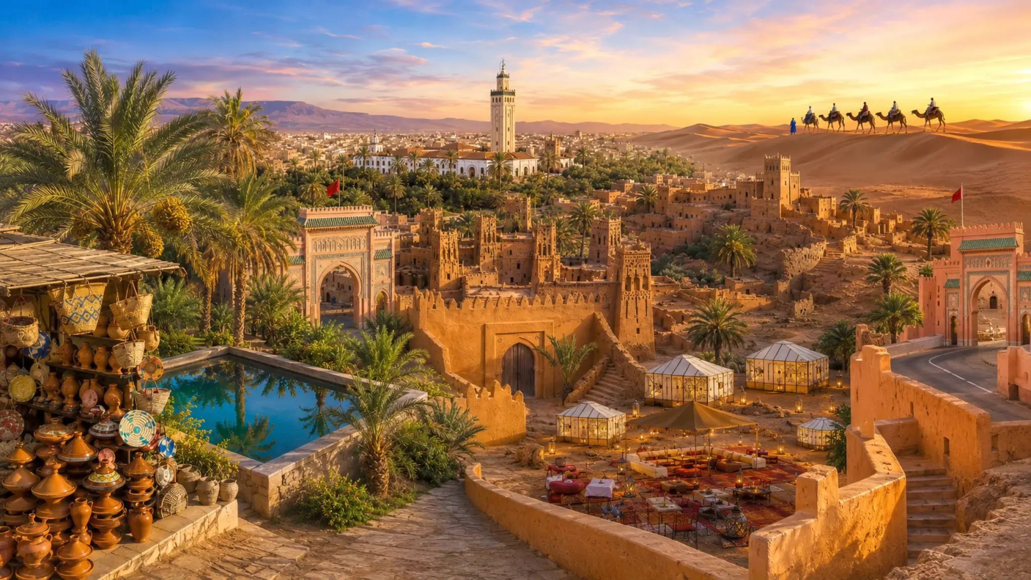
Follow water before the horizon
Explore palm valleys, earthen settlement and desert edges through Ouarzazate, Tinghir, Zagora and Merzouga, with water and everyday life at the centre.
The south becomes more intelligible when an oasis is treated as a worked landscape. Palms, plots, paths, channels and settlement belong together. The dunes are another environment, and the journey between them deserves more attention than a dramatic change of colour through a vehicle window. Choose this mood for a slower reading of water, earth and the inhabited desert edge.
Ouarzazate, Tinghir, Zagora and Merzouga offer different starting points. They are not interchangeable 'desert stops': one may orient an architectural journey, another a valley visit, another the Drâa corridor or the edge of Erg Chebbi. Decide which relationship you want to understand, then build a route that gives it enough time. The strongest journey may concentrate on one valley rather than connecting every southern name.
Use a base to connect earthen heritage with its wider setting.
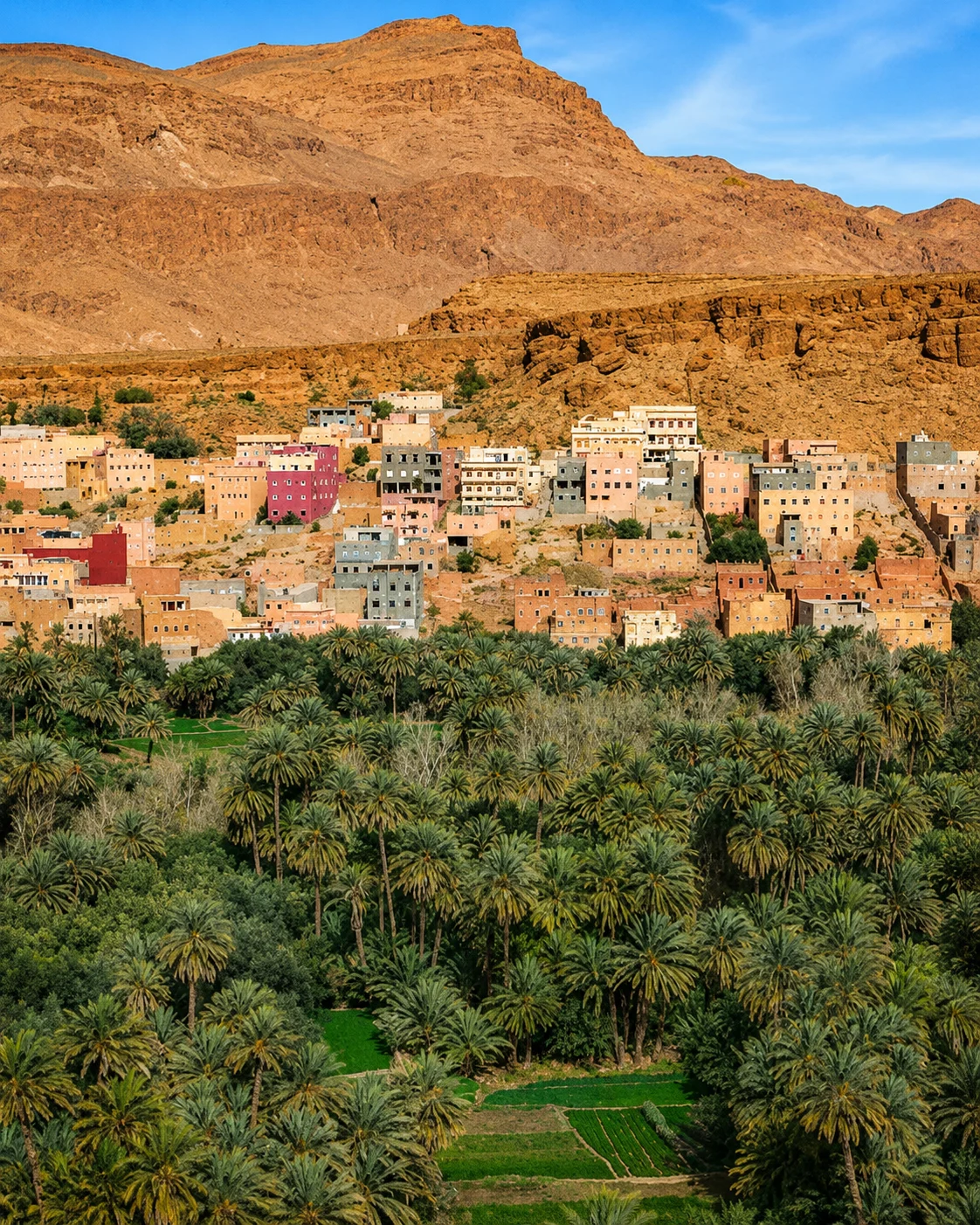
Look between the town, palms and the dramatic gorge setting.
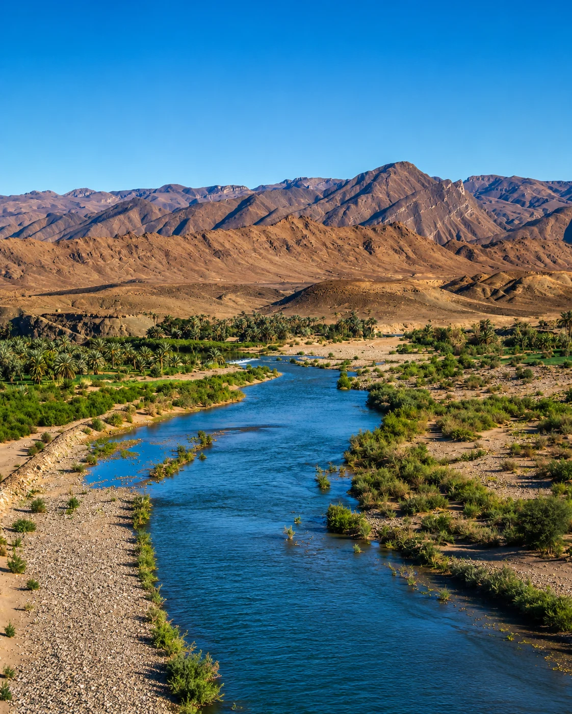
Let the valley remain more than a road towards the dunes.
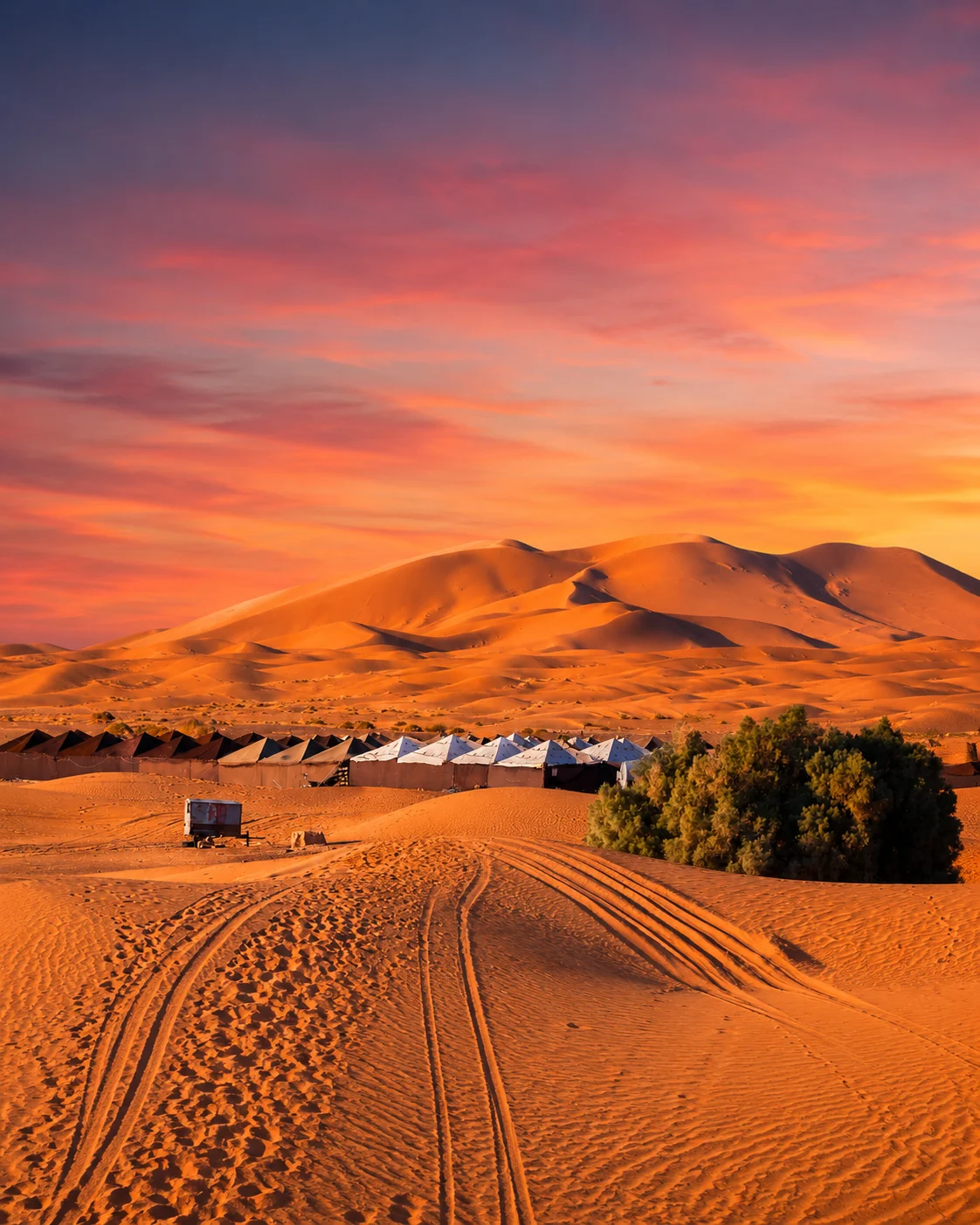
Sand, settlement and the chosen excursion are separate parts of the visit.
A journey around Ouarzazate and nearby earthen heritage differs from a Todgha valley stay around Tinghir, a Drâa journey through Zagora or an Erg Chebbi visit from Merzouga. Some can be combined with adequate time; none should be treated as a quick extension merely because the photographs share warm colours. Establish the actual road connections, season and arrival plans before adding a dune excursion.
Ouarzazate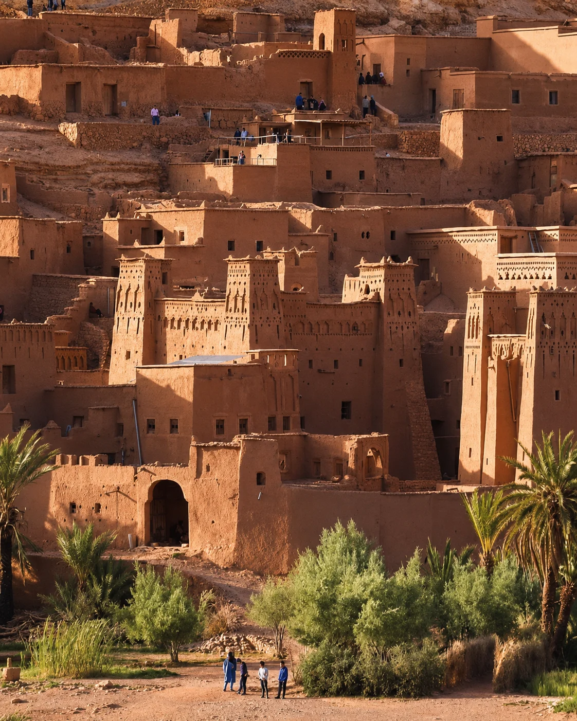 Ouarzazate
 Tinghir & the Todgha Valley
 Zagora & the Drâa
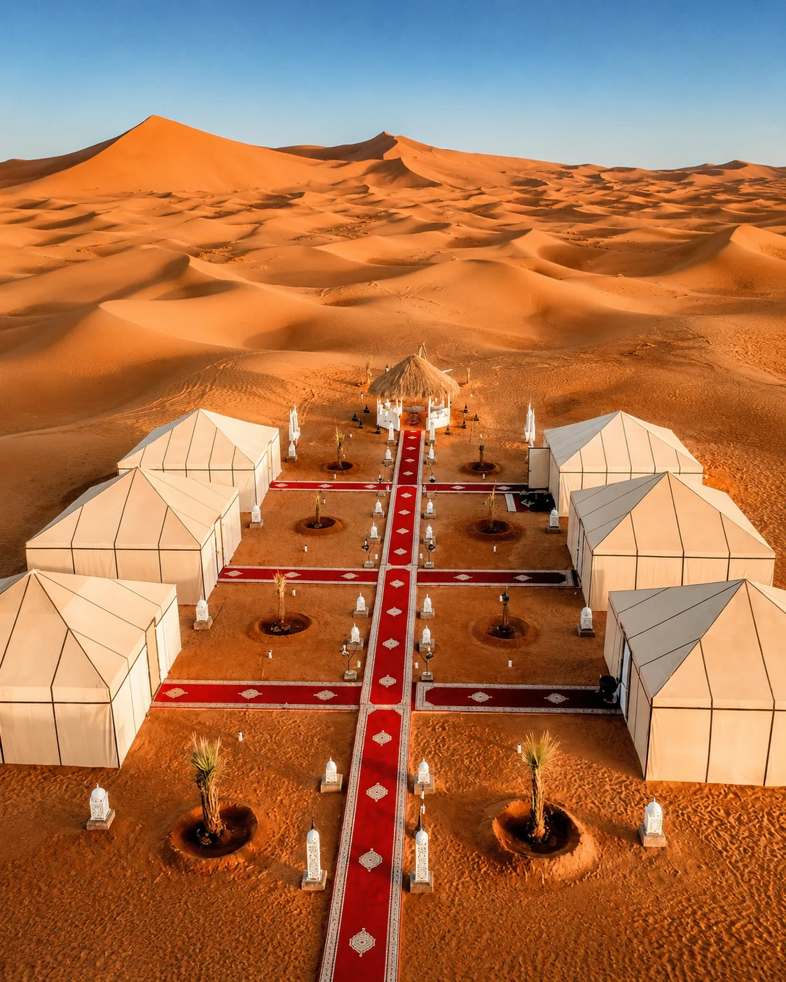 Merzouga & Erg Chebbi
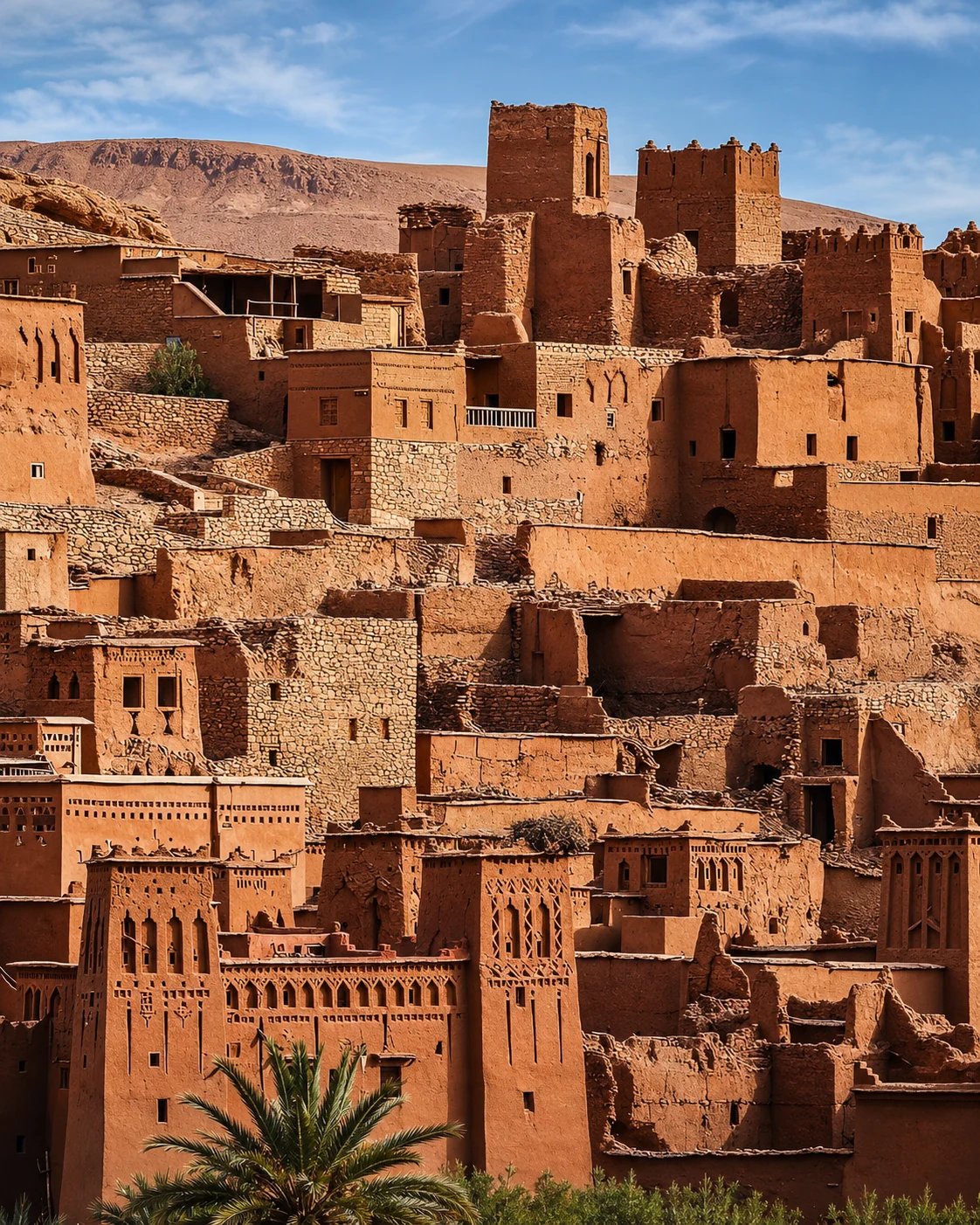 Ouarzazate
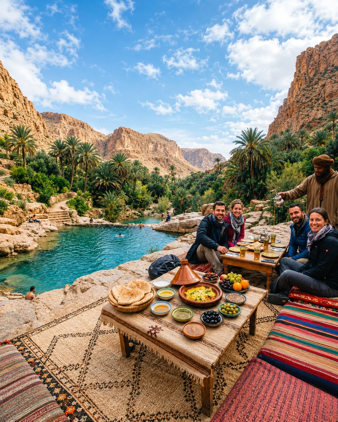 Tinghir & the Todgha Valley
Look for the relationships that make each place distinct.
A strip of cultivation asks questions about supply, distribution and maintenance. Look for visible evidence and seek a local explanation. Greenery alone does not reveal the source of water or the arrangements that allow several users to depend on it.
An earthen wall is both architecture and a material exposed to weather and repair. Notice its setting and use before treating its texture as evidence of great age. A maintained house, a heritage site and a ruin tell different stories.
Sand formations are part of a much wider southern geography that also includes rock, gravel, valleys, towns and cultivated land. Keeping those distinctions visible makes the desert-edge experience richer and avoids turning every southern place into the same imagined scene.
The road serves residents, trade and services as well as visitors. Include towns and ordinary stops in your understanding of the journey. Their contemporary life explains how a landscape is lived in, beyond its most photogenic edges.
Explore palm valleys, earthen settlement and desert edges through Ouarzazate, Tinghir, Zagora and Merzouga, with water and everyday life at the centre.
An architectural starting point
Give the cultivated valley its own time
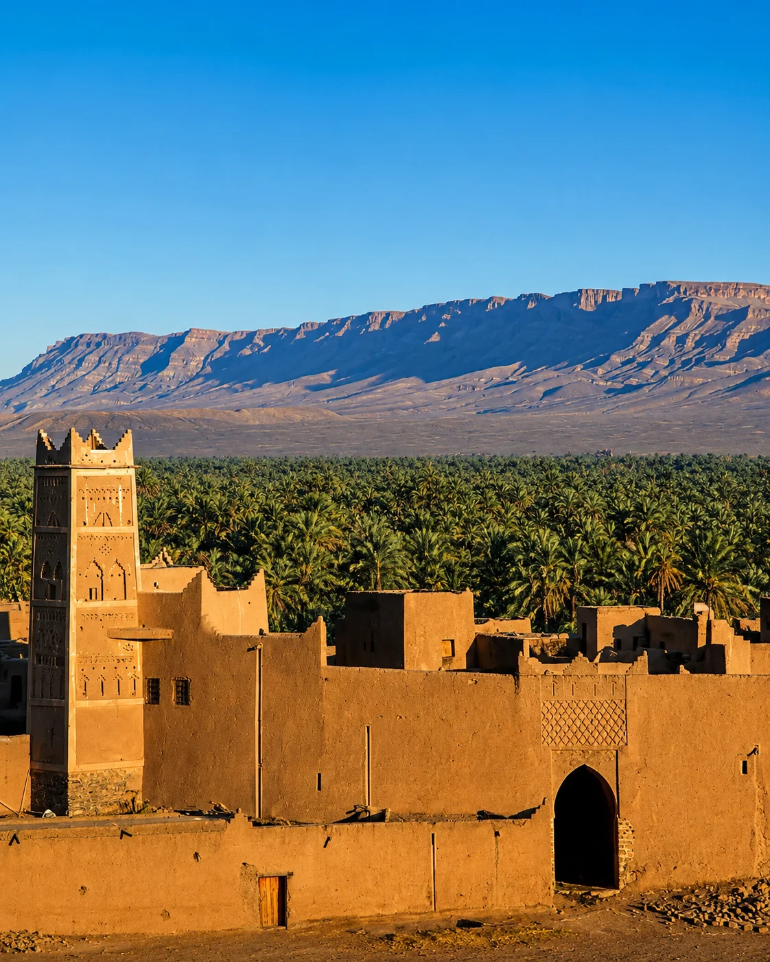
Read a corridor through its settlements
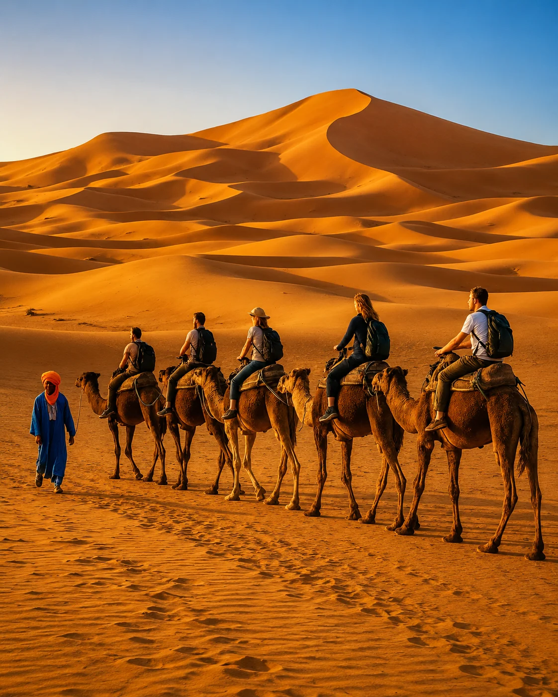
Meet the dune edge with a clear plan
These questions work best with a specific place and a person or source able to explain it.
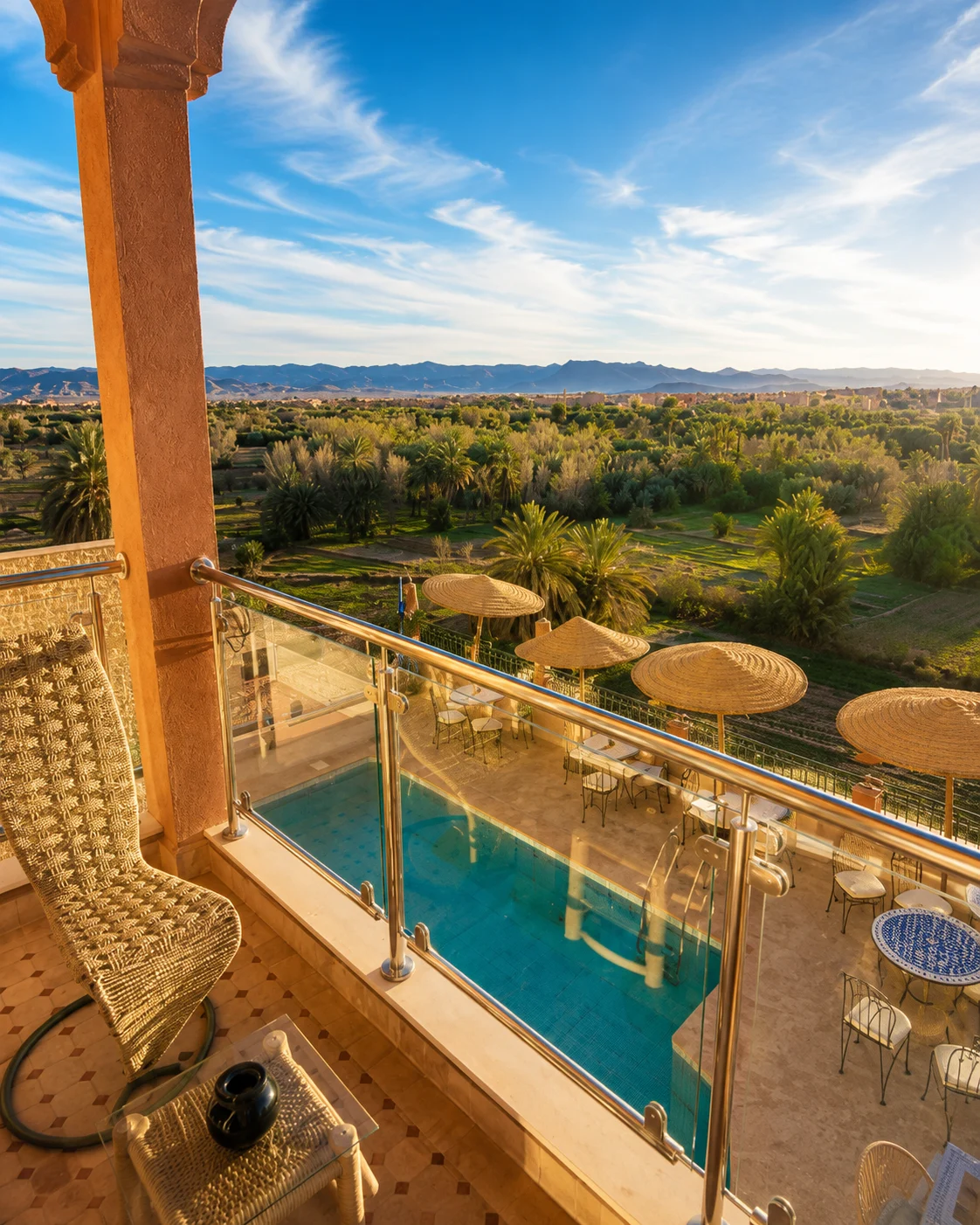
Observe how shade is made and used: by palms, walls, passages or a covered resting place. It shapes the comfort of a walk and the arrangement of activity. The same route can feel quite different at another hour.
Cultivated ground may contain several kinds and levels of planting. Identify what is actually growing rather than applying a diagram to every plot. The relationship between plants, season and management is more informative than a distant impression of abundance.
A visible channel is a clue, not a full explanation. Ask where the water comes from and who maintains the route it follows. Some systems are active, altered or no longer in use; appearance alone cannot settle that question.
Look at the relationship between buildings, productive ground and access routes. A cluster of earthen structures should be understood through its particular history and present use. Avoid using kasbah and ksar as interchangeable labels for anything made of earth.
A market connects households with a wider region. What is sold may come from nearby plots, distant producers or both. Asking about one item can reveal those connections more clearly than assuming that a market is a preserved scene from an earlier age.
An open view can make distances deceptive. Let practical planning depend on actual routes and local conditions. A carefully chosen place to watch changing light can be more rewarding than pursuing a farther horizon with too little time to return.
Use a base to connect earthen heritage with its wider setting.
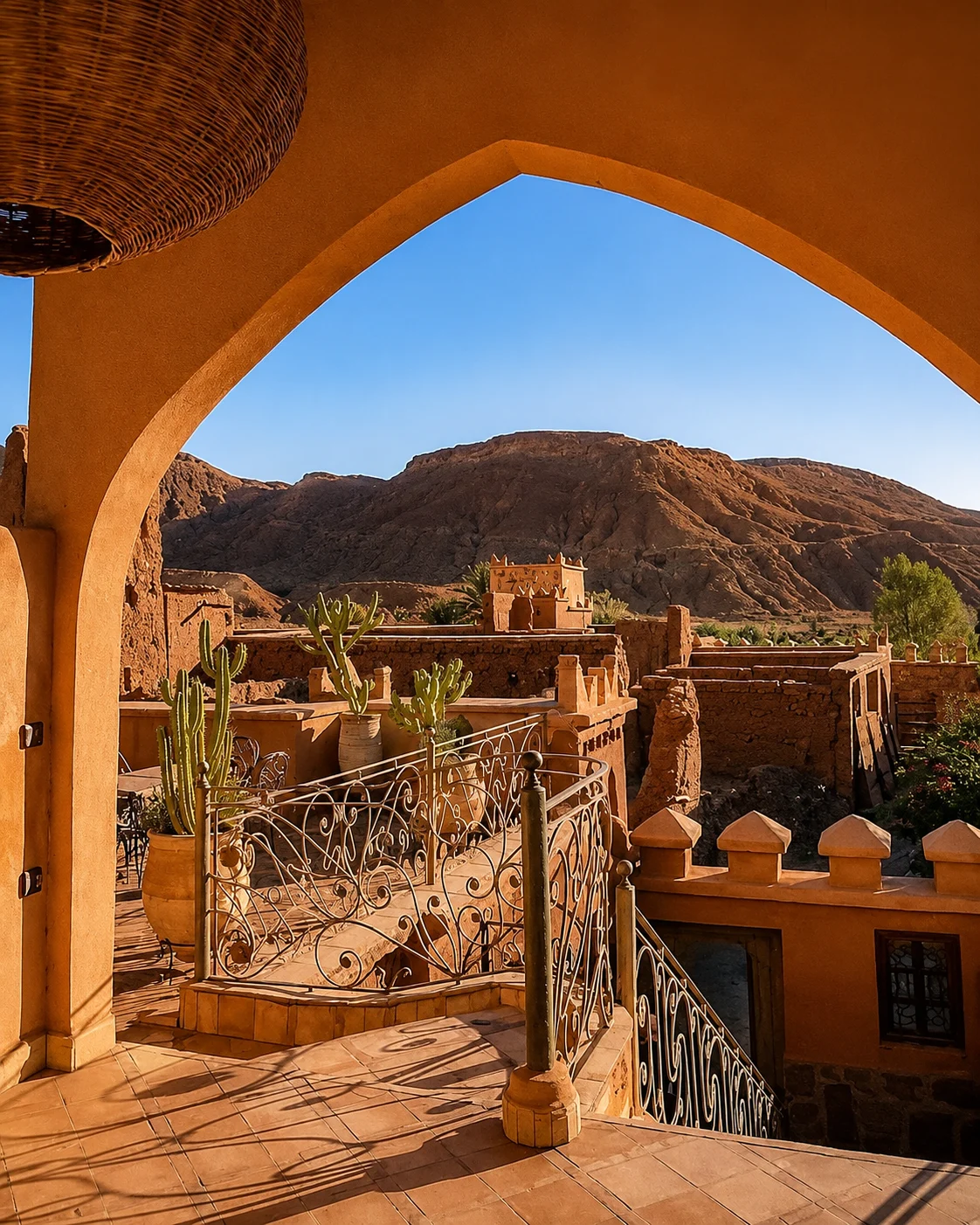
Ouarzazate can orient a journey towards earthen architecture and the valleys beyond it. Begin by distinguishing the town, nearby heritage places and the longer onward roads. They do not form one continuous attraction. Choosing a base gives you room to visit an individual place carefully and return with questions, rather than allowing the whole day to be consumed by transfers and hurried viewpoints.
Aït Ben Haddou is an important nearby reference for ksar architecture, with a specific UNESCO heritage account. Its value lies in the relationship between clustered buildings and their setting as well as the familiar overall view. Use local interpretation to understand particular structures and current access. Then compare what you learned with other inhabited places on the journey, without assuming they share the same history or status. Architecture becomes more useful as a travel thread when it leads to distinctions rather than a repeated label.
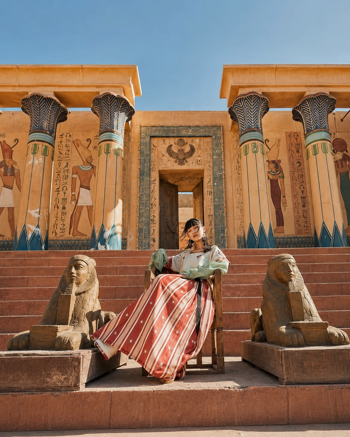
Kasbah gatewayTaourirt KasbahAït Ben Haddou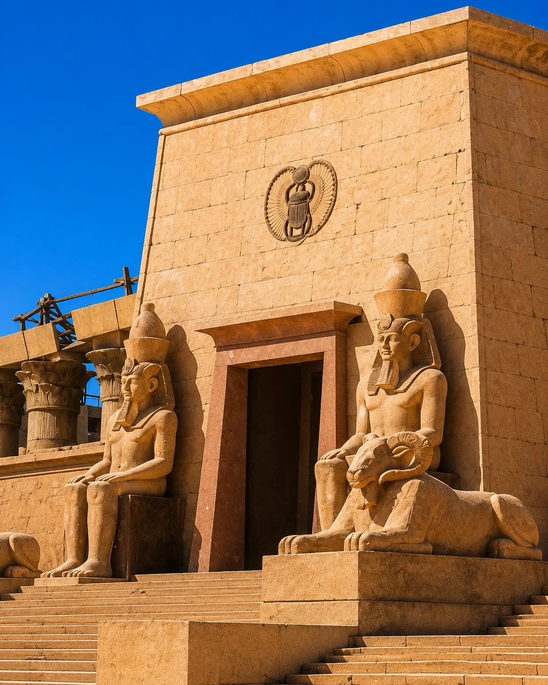 Film studios
 Fint Oasis
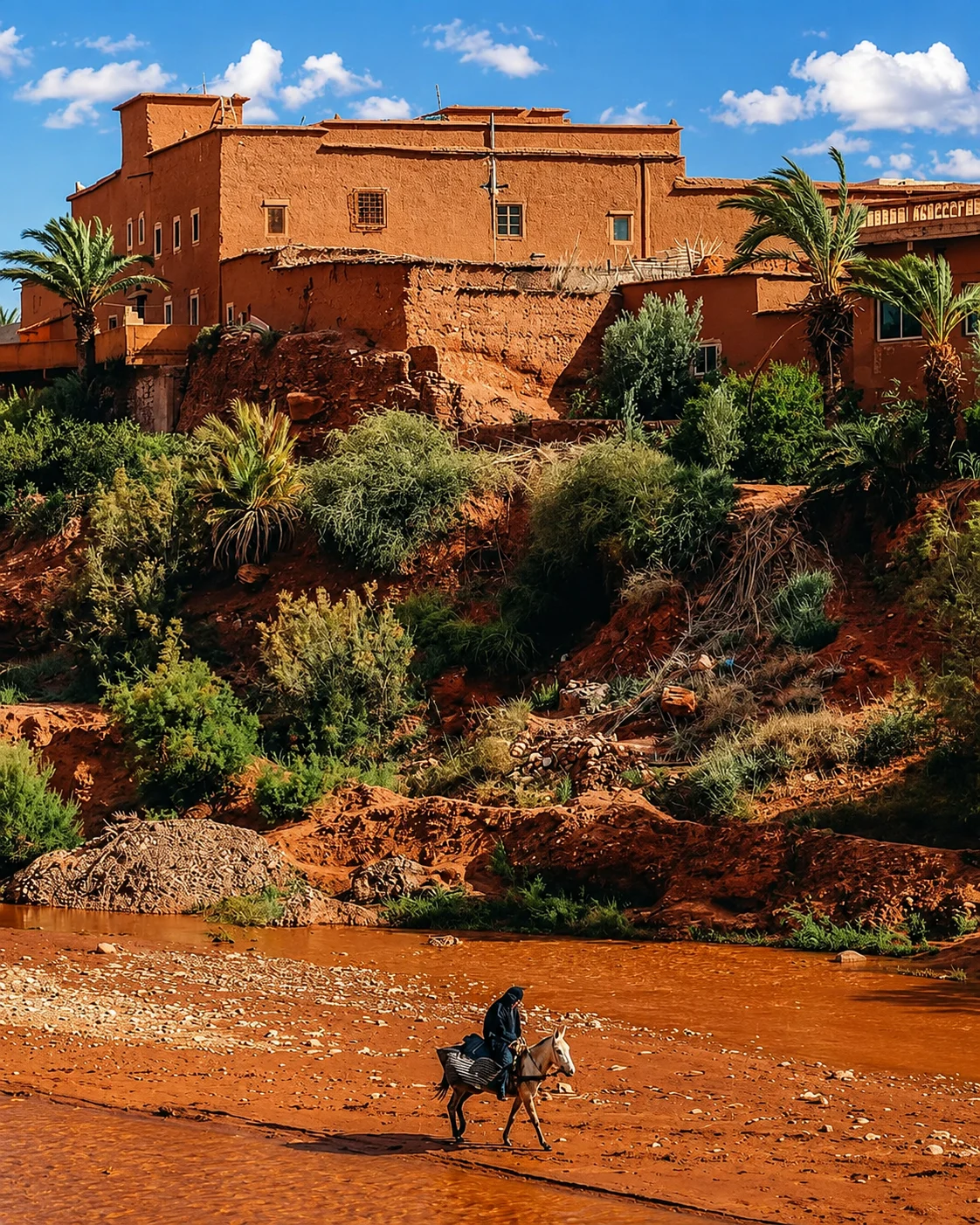 Skoura
 Desert gatewayTodra oasisTodra GorgeTodra palms
 Tinghir oasis
 Old kasbahs
 High Atlas edge
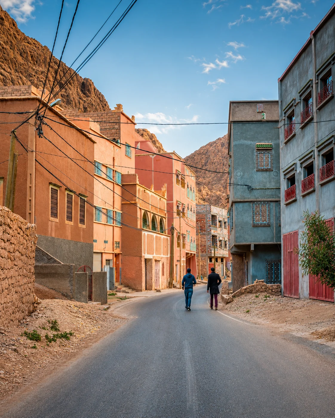 Valley road
Look between the town, palms and the dramatic gorge setting.
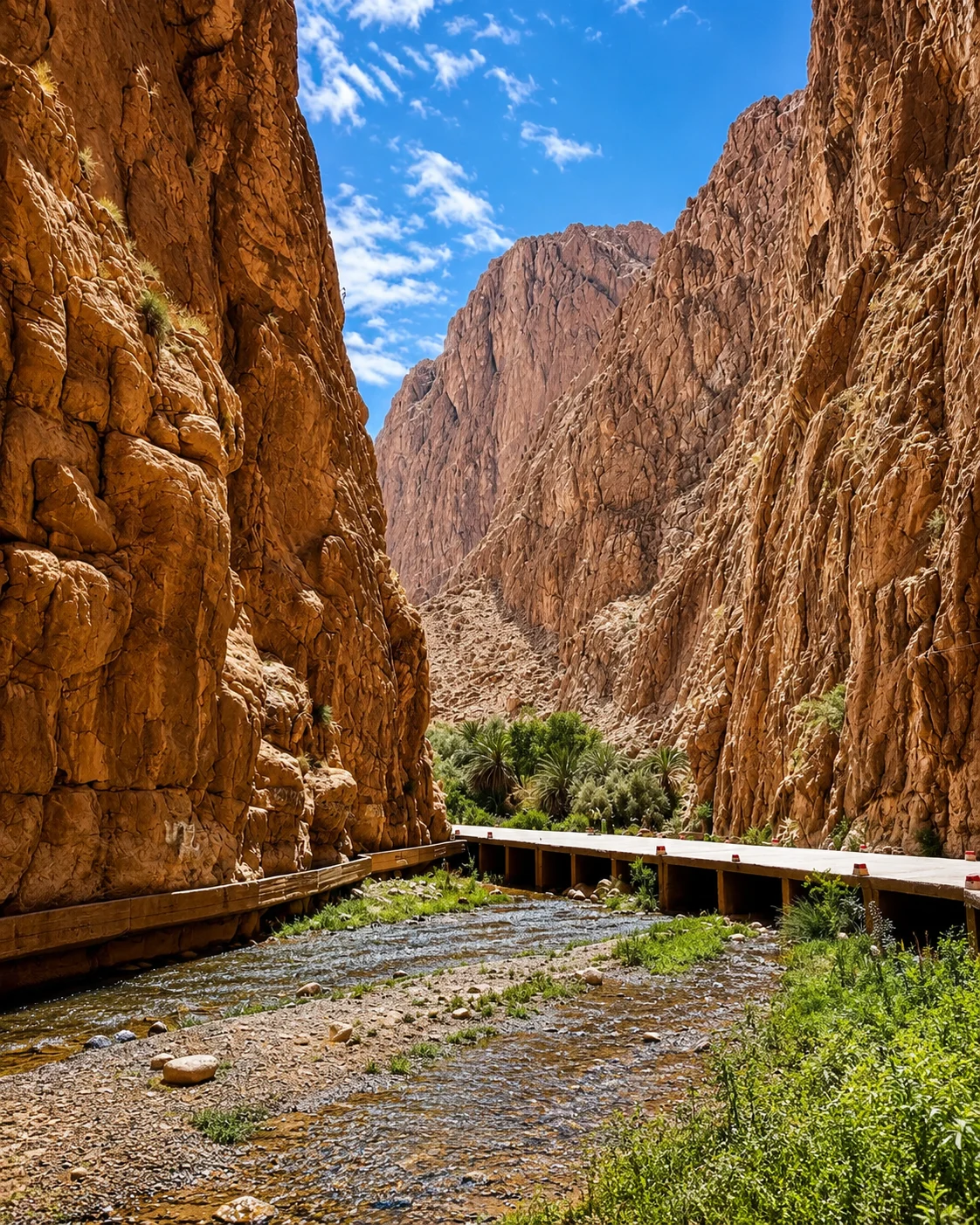
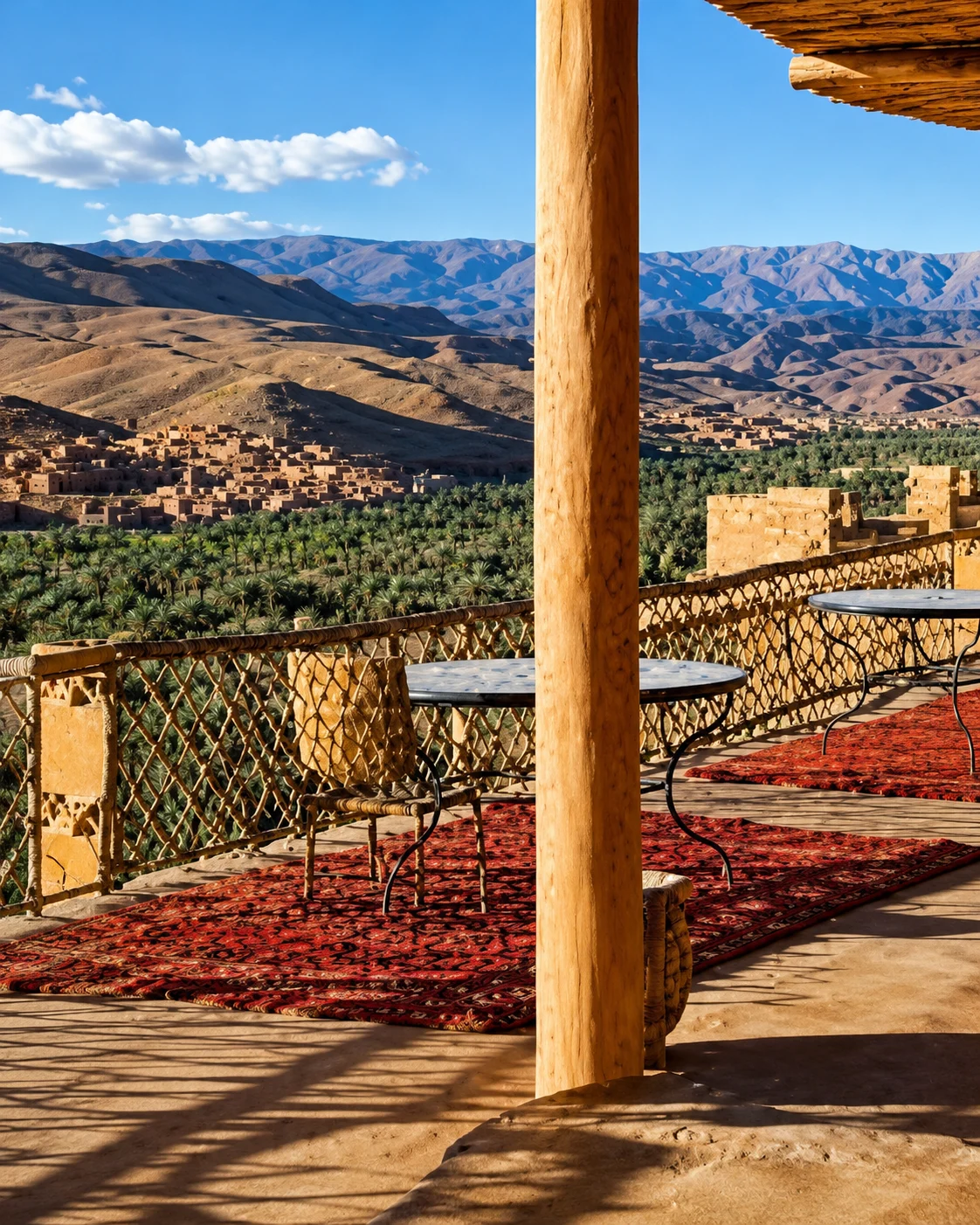
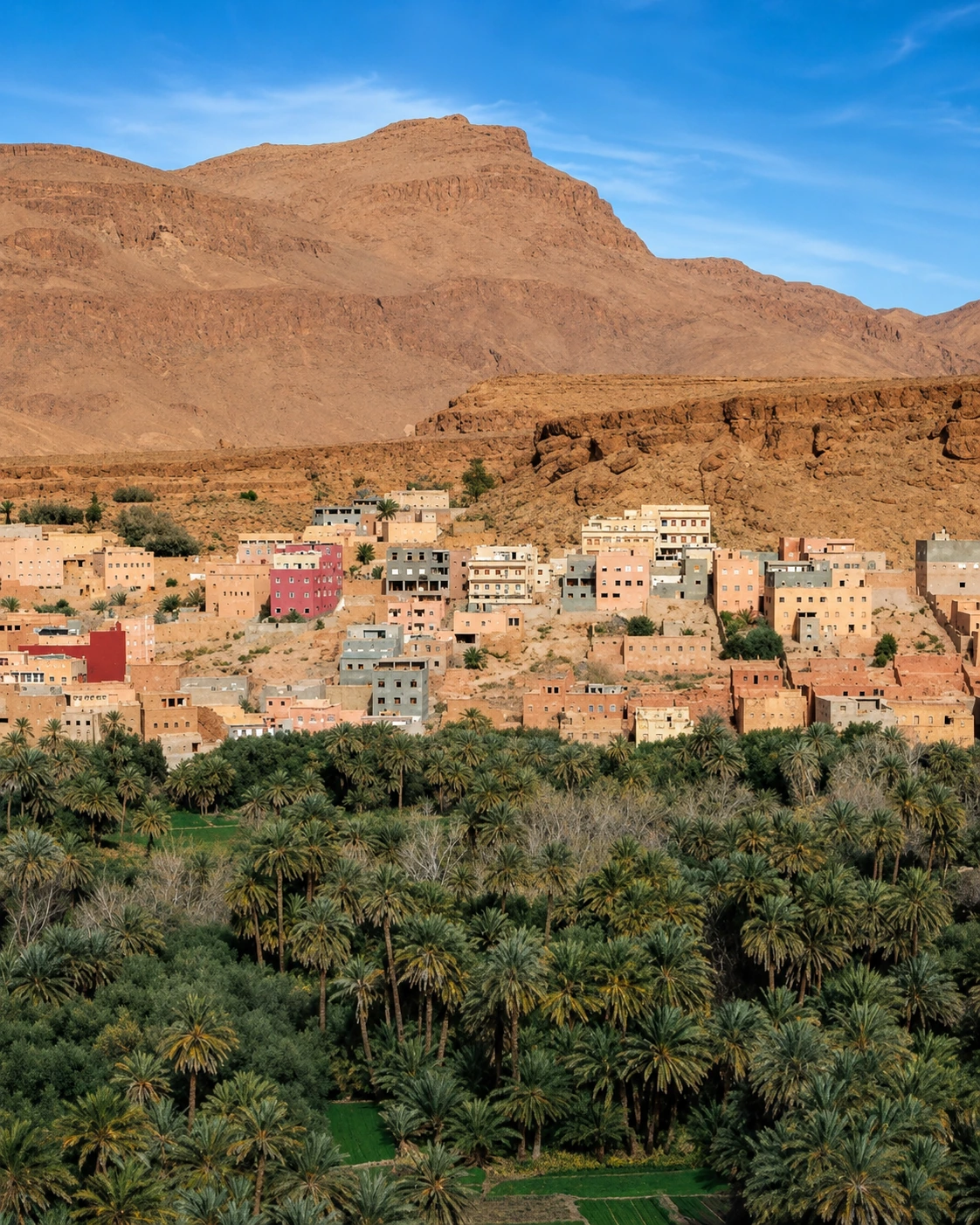
A journey towards the Todgha gorge can easily pass the cultivated landscape as if it were only an approach. Slow that sequence down. From appropriate paths or viewpoints, look at the relationship between settlement, palms and the valley's shape. Ask a local guide to explain a visible feature of cultivation or water management; the answer can make the wider scene more readable than another distant panorama.
Keep the gorge visit and an oasis walk as distinct activities with their own conditions and access. Productive plots are not public gardens, and a dry-looking watercourse is not proof that conditions cannot change. A town-based pause adds another useful perspective through food, shops and daily movement. Tinghir can support a stay centred on the valley, allowing you to return at a different time and see how light and work alter the experience of the same landscape.
Let the valley remain more than a road towards the dunes.
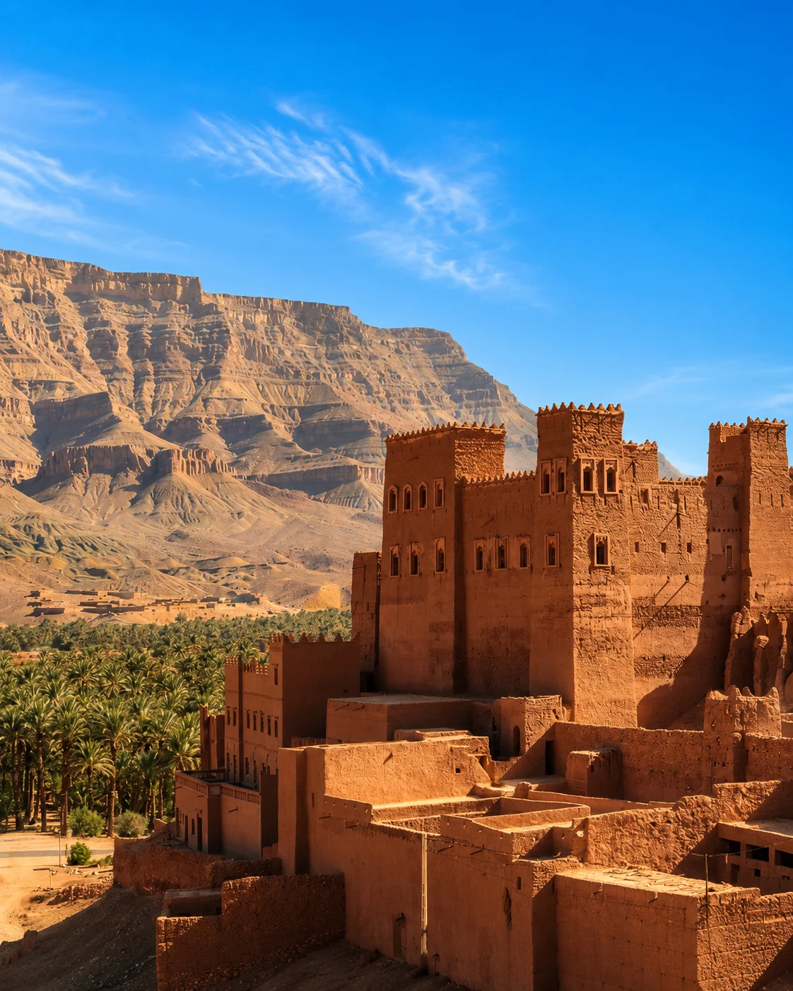
Zagora gives the Drâa journey an inhabited centre from which to consider the surrounding valley. Look for the changing relationship between cultivated ground, settlement and road as you travel. The landscape is not a single continuous garden, and conditions in one visible area should not be assumed to describe the whole corridor. Specific stops with local explanation make the journey more informative than an uninterrupted drive punctuated only by photographs.
An onward trip towards M'Hamid is another planning decision, with its own distance and arrangements. You can choose to deepen a valley stay instead. A guided walk, a visit to an accessible architectural site or time in a market town can connect the larger scenery with individual lives and work. Keep historical caravan associations tied to reliable sources and particular places; contemporary roads and services deserve attention as part of the same region's present.
Drâa gatewayDrâa ValleyPalm oases Zagora sign
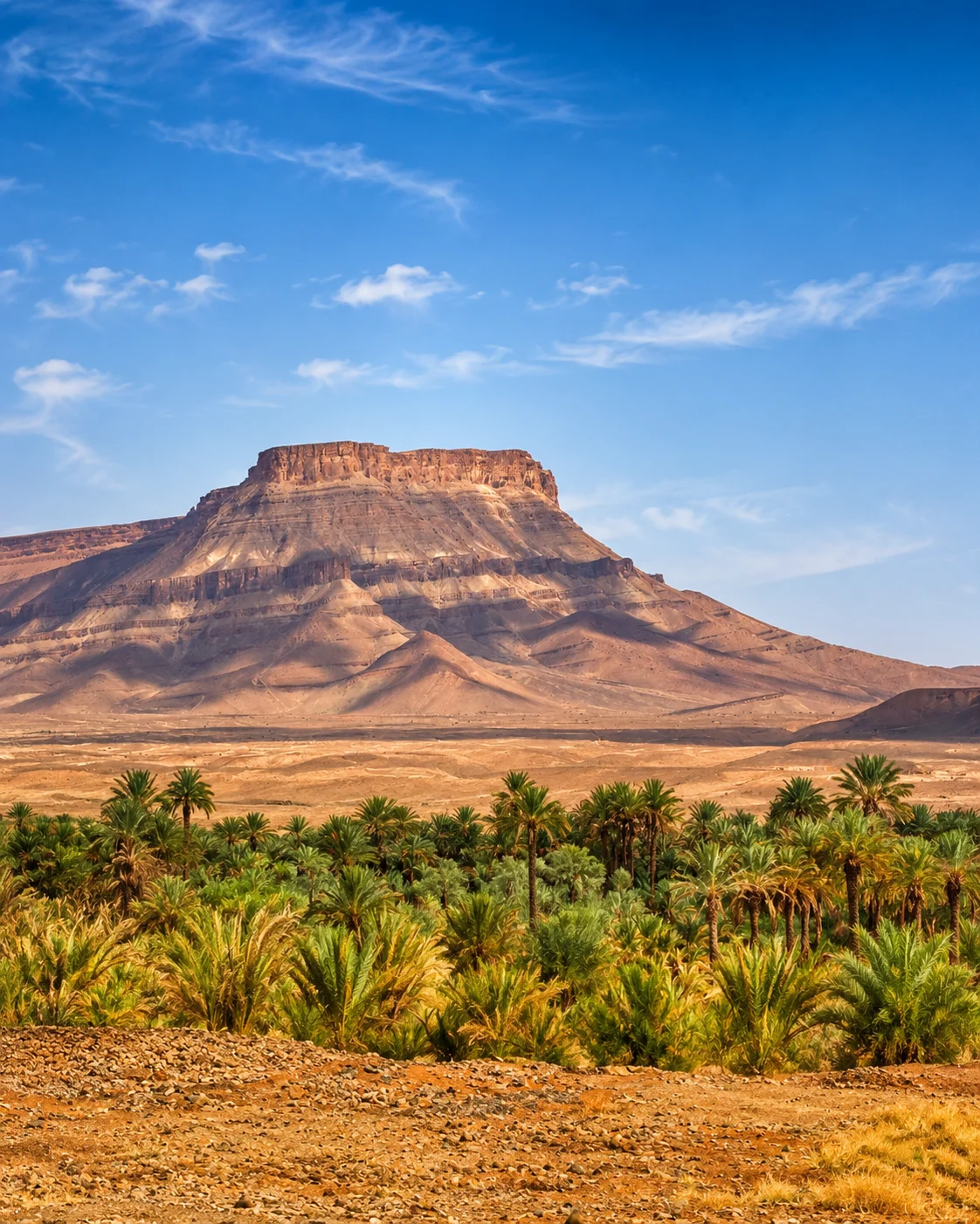 Tamgroute
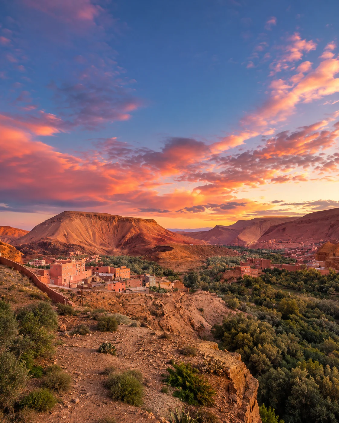 Tinfou dunes
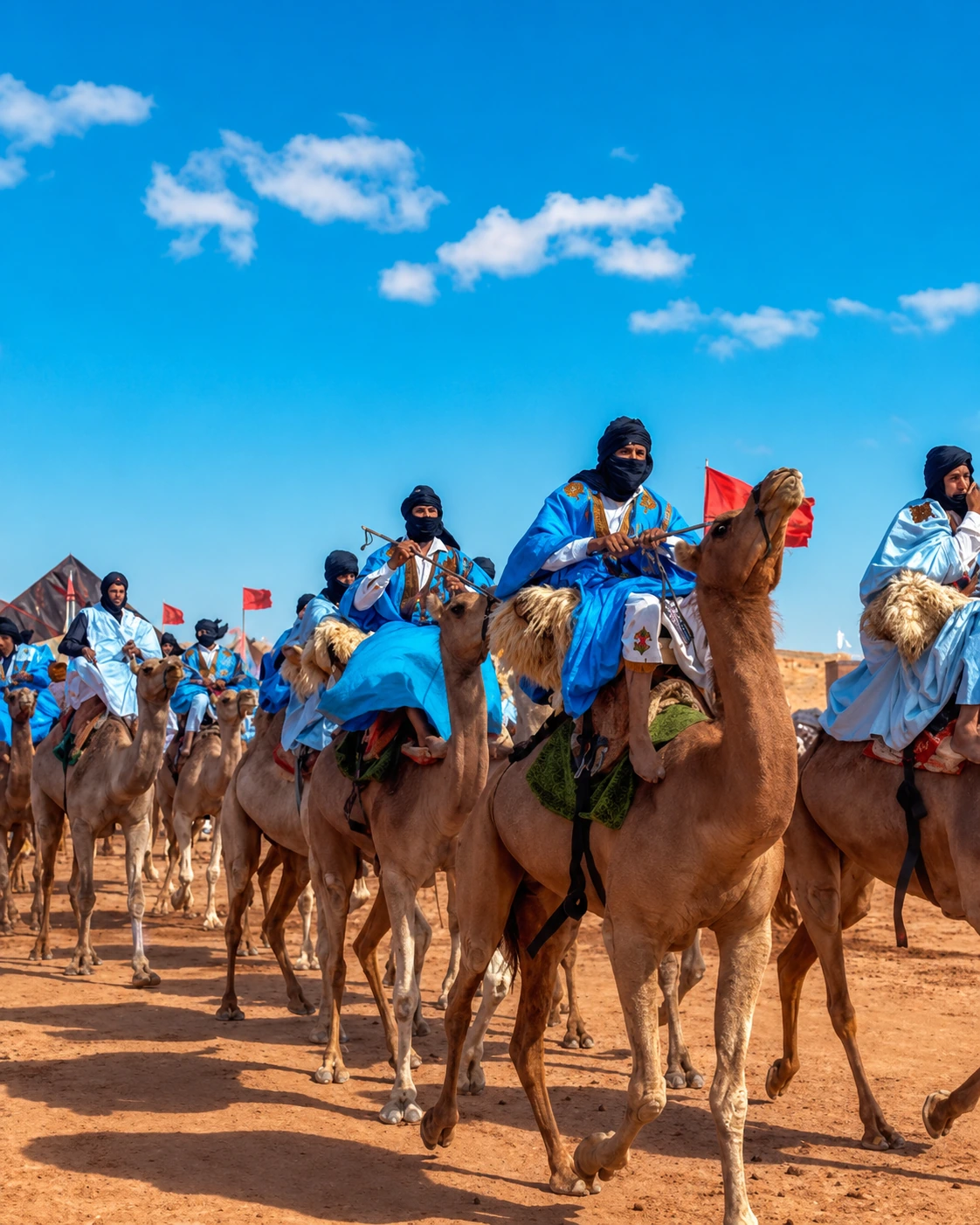 Caravan routeErg Chebbi dunesErg ChebbiDune camps
 Camel trekking
 Khamlia
 Dayet Srij
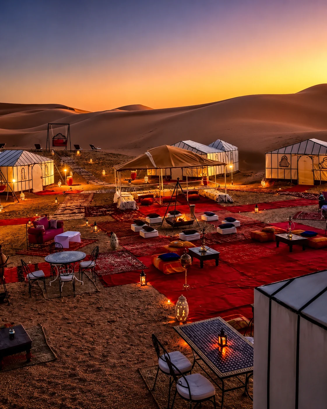 Desert sunrise
Sand, settlement and the chosen excursion are separate parts of the visit.
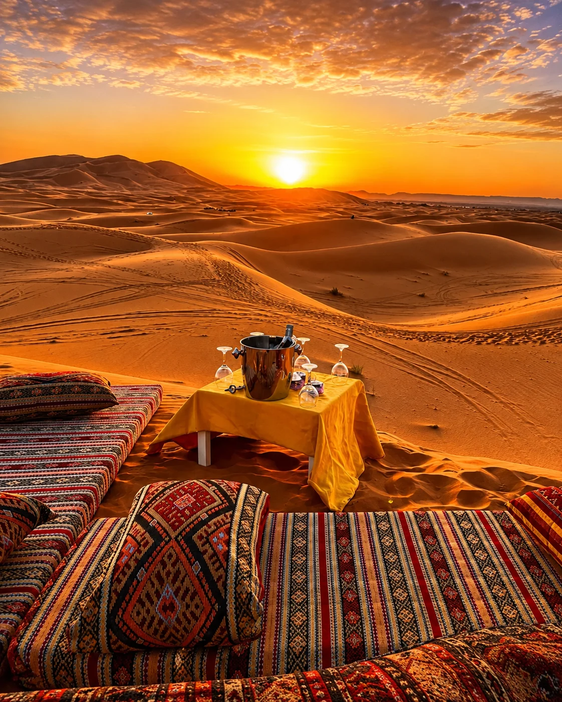
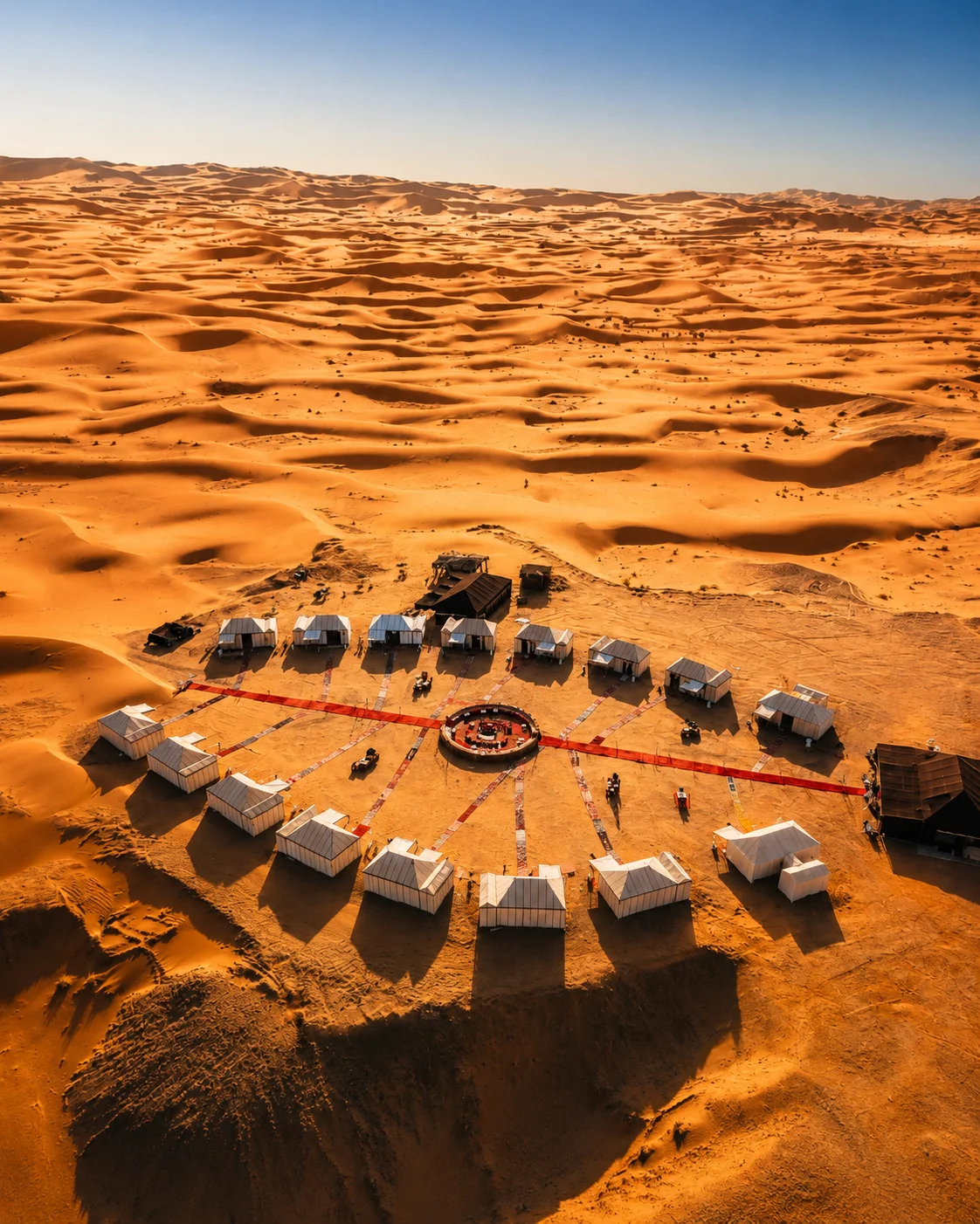
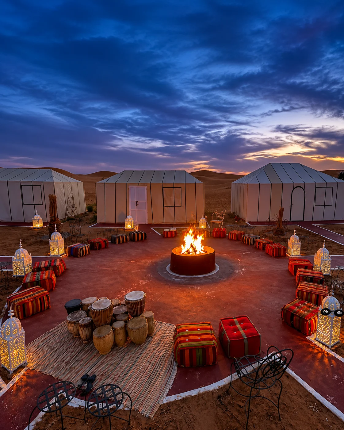
Merzouga is a starting point for the Erg Chebbi dune setting. Before arranging an excursion, establish what it actually includes: the meeting place, route, duration, mode of travel and overnight arrangements if relevant. A photograph of an empty dune says little about those practical choices. The experience becomes more enjoyable when everyone knows what kind of activity they are choosing and what conditions to expect.
Keep time for the surrounding inhabited landscape as well. Nearby towns and the Tafilalet context broaden a visit beyond one sunrise or sunset image. At the dunes, remain attentive to the routes and advice appropriate to the excursion; avoid treating an apparently open horizon as unrestricted terrain. The changing light can be appreciated without pursuing the most distant crest. A carefully observed hour, followed by a considered account of the place and its people, can be more lasting than a hurried collection of dramatic frames.
Ouarzazate · Film studiosTinghir & the Todgha Valley · Tinghir oasisZagora & the Drâa · Zagora signMerzouga & Erg Chebbi · Camel trekkingOuarzazate · Fint OasisTinghir & the Todgha Valley · Old kasbahsZagora & the Drâa · TamgrouteMerzouga & Erg Chebbi · KhamliaOuarzazate · SkouraTinghir & the Todgha Valley · High Atlas edgeZagora & the Drâa · Tinfou dunesMerzouga & Erg Chebbi · Dayet SrijEarthen architecture is easier to understand when a building is connected with its use, its neighbours and the work that maintains it. Look at entrances, wall thickness, shaded passages and the placement of open space. Ask for the local name and history of a structure before describing it. Surface texture can be visually compelling, but it cannot by itself tell you a building's date, condition or function.
Town, ksar, onward valleys
Palms, paths, water questions
Settlement, cultivation, exchange
Sand, light, settlement
The schematic connects four ways into the south. Select an Ouarzazate architectural stay, a Todgha valley visit, a Drâa journey or an Erg Chebbi excursion, and combine only what your available time can support. Verify present road and weather conditions close to travel. The wider Southern Morocco, Oases & Sahara page places these choices among other towns and landscapes.
OuarzazateEarthen heritage and settingTinghir & the Todgha ValleyCultivated valley and gorgeZagora & the DrâaDrâa valley connectionsMerzouga & Erg ChebbiErg Chebbi dune edgeA few considered choices make the connections between these places more useful.
Oasis heritage includes current decisions and pressures, not only inherited technique. A channel shown in an old photograph may have changed. Ask what is active now, who can explain it and where visitors may walk. This keeps the visit connected to present land use rather than an imagined timeless landscape.
Plan exposed walks around current conditions and the needs of the group. Arrival, rest and onward travel all take time. A longer stay with fewer transfers can make room for the explanations and ordinary encounters that turn an attractive route into a meaningful one. Confirm practical arrangements directly with the relevant local provider.
Oasis Logic examines water, cultivation, settlement and collective management in greater depth, including an eastern comparison with Figuig. Use it to develop questions before a visit. Geography & Regions supplies the broader landscape context, while individual place guides help turn an interest into a realistic local plan.
Historical and geographical references reviewed in September 2026. Route pairings and looking suggestions are Exotic Morocco editorial guidance. Check current access and transport arrangements before travelling. Existing regional library imagery is retained; photographs and illustrations do not establish present-day access or conditions.
Open the individual place guides for local context and a more detailed visit. Return to Regions to compare other landscapes and cultural connections.
Use a base to connect earthen heritage with its wider setting.
Look between the town, palms and the dramatic gorge setting.
Let the valley remain more than a road towards the dunes.
Sand, settlement and the chosen excursion are separate parts of the visit.