Why the Atlas Mountains matter
A mountain system, not a single excursion.
Morocco's Atlas is best understood as several connected ranges. The High Atlas carries the country's highest summits and major passes; the Middle Atlas is marked by plateaus, lakes, oak and cedar country; the Anti-Atlas shifts south-west into older, drier massifs and desert-edge valleys. Treating them as one interchangeable backdrop hides the differences that make each journey meaningful.
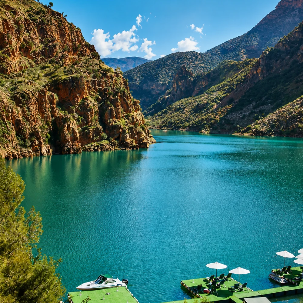
The High Atlas is Morocco's strongest topographic divide. The Moroccan National Tourist Office describes a chain extending roughly 750 kilometres and identifies Jbel Toubkal, at 4,167 metres, as the highest summit in North Africa. Valleys cut deeply through that height, linking mountain agriculture, seasonal water, settlements and roads to the plains and pre-Saharan south.
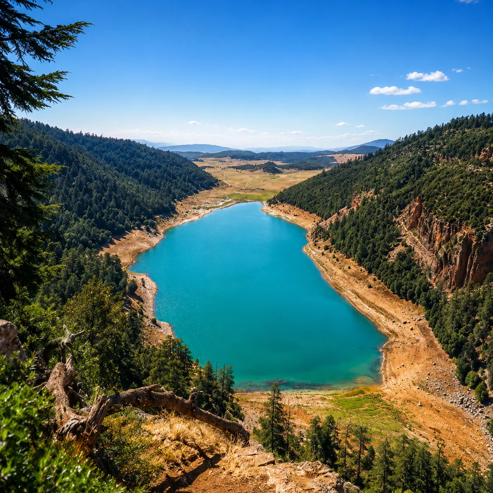
The Middle Atlas tells a different story. Forests, lakes, volcanic plateaus and broad grazing country give water and vegetation a more visible role. Official geography material connects the range to the Sebou, Bouregreg, Oum Er-Rbia and Moulouya basins—an important reminder that the mountains organise watersheds far beyond the ridgelines visitors see.
Farther south, the Anti-Atlas is leaner and more arid. Rock structure, sparse vegetation, folded slopes and oasis approaches often dominate the view. Its scale is not the same as the High Atlas, but the long geological lines and sharp transition toward Saharan landscapes make it equally important to Morocco's physical geography.
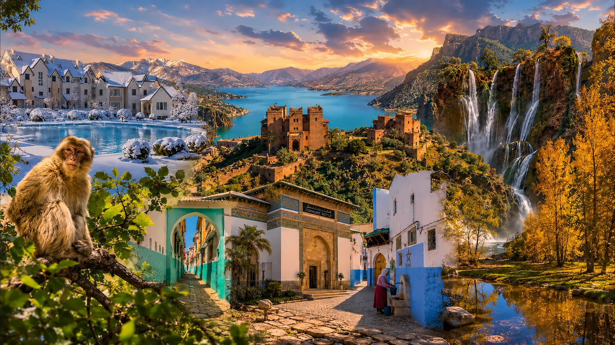
These mountains are also cultural landscapes. Amazigh communities have shaped and maintained villages, terraces, paths, irrigation systems, grazing routes and craft traditions across very different environments. Visitors should therefore read cultivated land, water channels and settlement position as evidence of knowledge and work—not as picturesque decoration.
Geographic orientation is grounded in the Moroccan National Tourist Office overview of the Atlas ranges and the UNESCO profile of M'Goun Global Geopark. Mountain access, weather, road and trail conditions should be checked for the exact route close to travel.