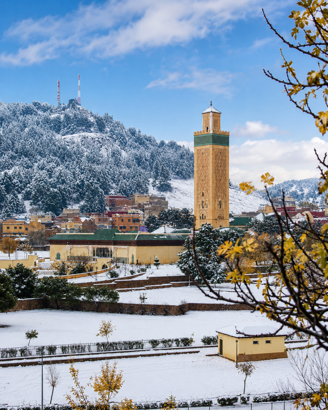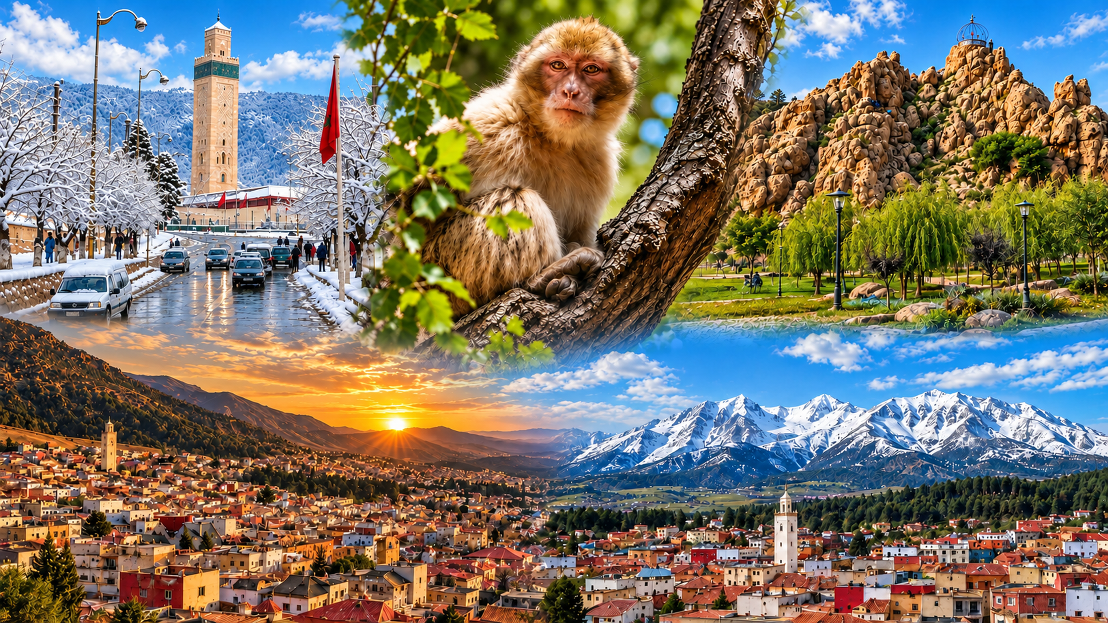
Azrou 4K hero collage with snowy mosque, cedar macaque, rock outcrop, lake light and Middle Atlas town views

Middle Atlas city of Morocco

Azrou Cedar forests, Amazigh market rhythm and highland routes

Azrou sits where town, slope and forest meet: green-tiled streets below cedar-covered hills, a working Amazigh market-town identity and a quieter Middle Atlas scale than Morocco’s larger Moroccan cities.

Why Azrou matters

Beyond the cedar forest

Azrou is often introduced through the cedar forests above town, but its deeper value begins at the meeting point between rock, road and everyday exchange. The town’s Amazigh name is tied to stone, and its urban life looks constantly toward the Middle Atlas slopes around it.

This is not a city of grand spectacle. Azrou rewards a slower reading: green-roofed public fronts, market streets, craft and agricultural rhythms, forest routes, mountain weather and the practical crossings that link Fès, Ifrane and the deeper Middle Atlas.
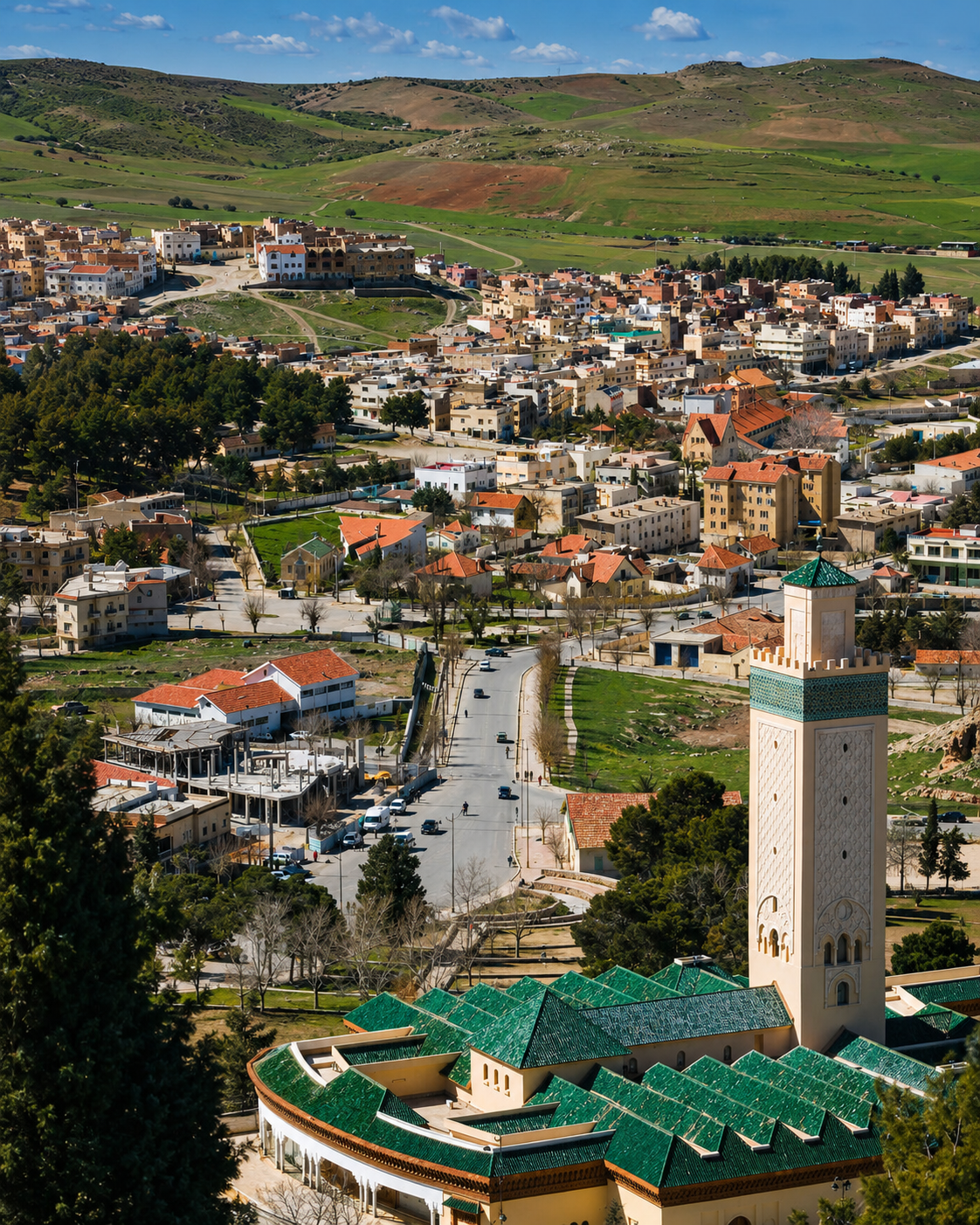
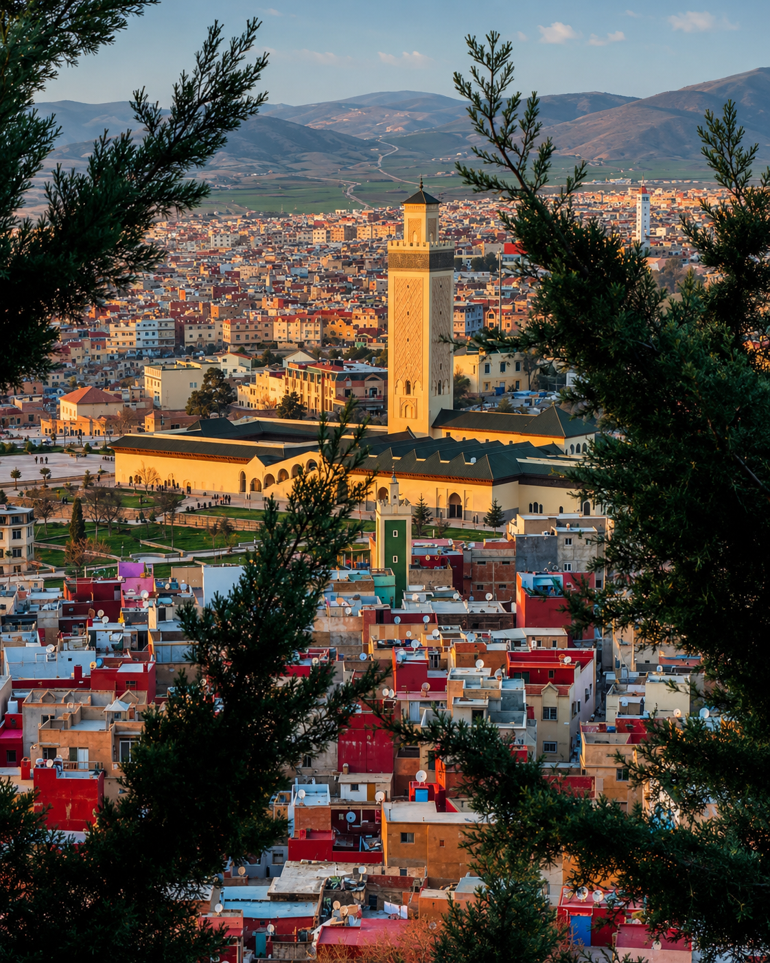
Green-roofed public buildings and town roofs in Azrou

A city of forest and meeting points

Azrou’s character is measured in transitions: square to souk, town to cedar shade, road to plateau, and local market rhythm to open mountain landscape.

EXPLORE

Azrou

Historical orientation

From rock, route and kasbah memory to mountain town

Azrou is best understood through layered geography rather than a single monument. Its name is rooted in the Amazigh word for rock, its town centre developed around movement and exchange, and its surrounding cedar landscapes give the city a clear Middle Atlas identity. The result is a place where visitors should read urban life and forest country together.

01Amazigh place-name

The rock of Azrou

The city’s name is connected to stone: a physical reminder that Azrou’s identity begins with landscape, not only with streets and buildings.

02Historic route layer

Kasbah and crossroads memory

Older defensive and route-oriented layers belong to the town’s regional story. Azrou grew as a place of passage, pause and exchange in the Middle Atlas.

03Urban growth

A working mountain town

Green-tiled roofs, market activity, public squares and local services give Azrou its daily rhythm and separate it from purely scenic forest stops.

04Middle Atlas today

Cedar biosphere context

The surrounding cedar landscapes connect Azrou to one of Morocco’s most important mountain ecosystems and to visitor routes that require care and restraint.

A visual bridge

Three glimpses between town and forest

These images bridge the story visitors actually meet in Azrou: a town watched by hills, roads entering cedar shade, and everyday commerce gathered beneath green roofs.

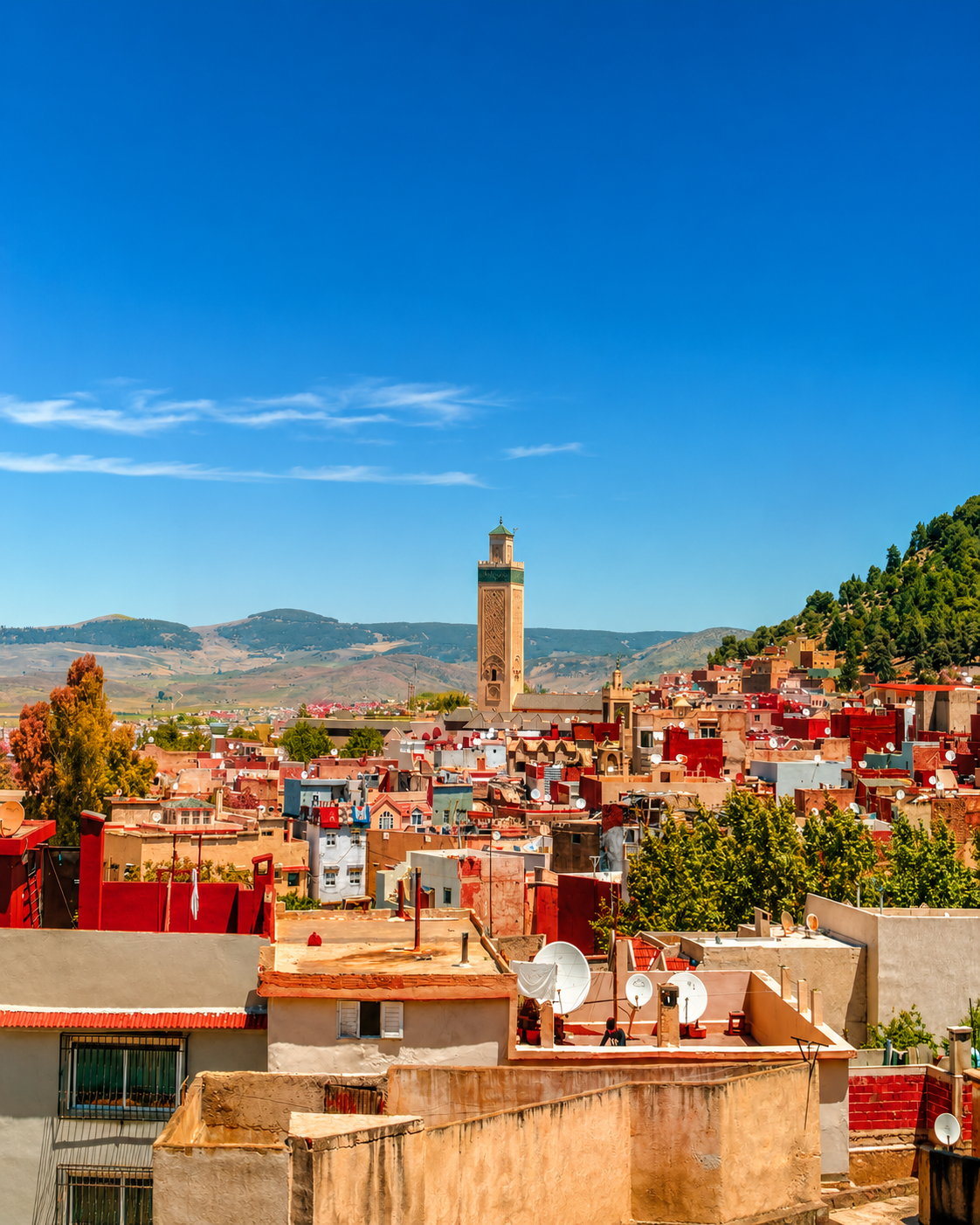
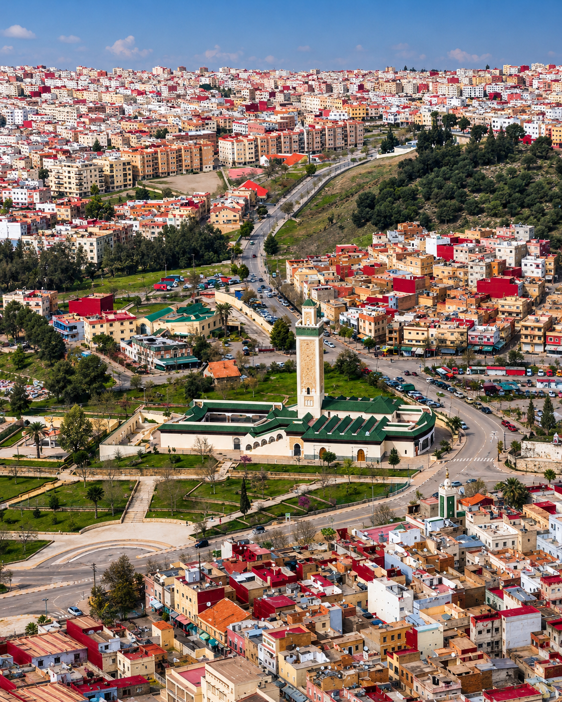
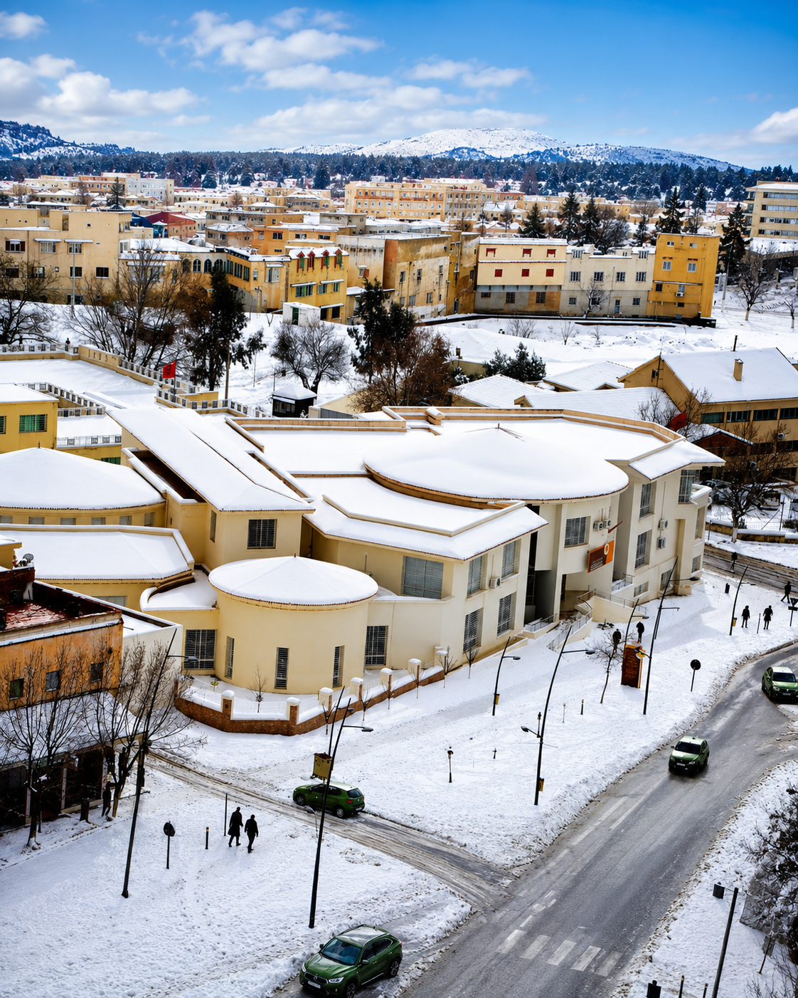
Azrou town and minaret rising below Middle Atlas hills

Rock and town

The settlement reads from above as a compact highland town held between slopes, fields and forest approaches.

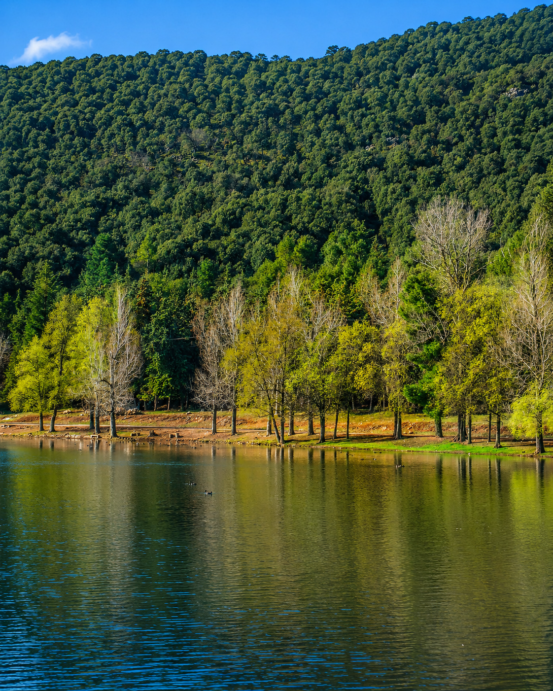
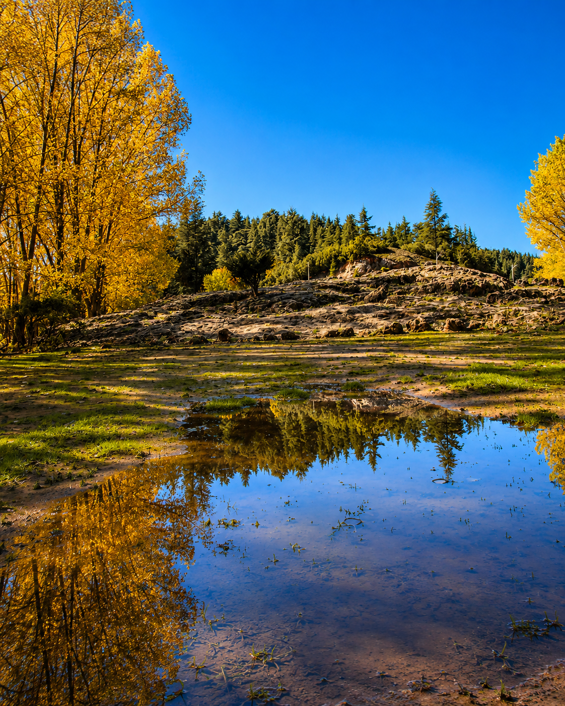
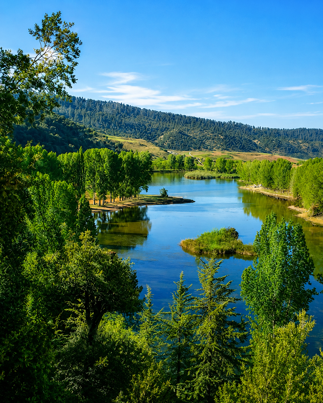
Water and cedar shade in the Middle Atlas near Azrou

Cedar shade

Above the town, cedar shade, water and mountain air shift the journey into a slower highland rhythm.

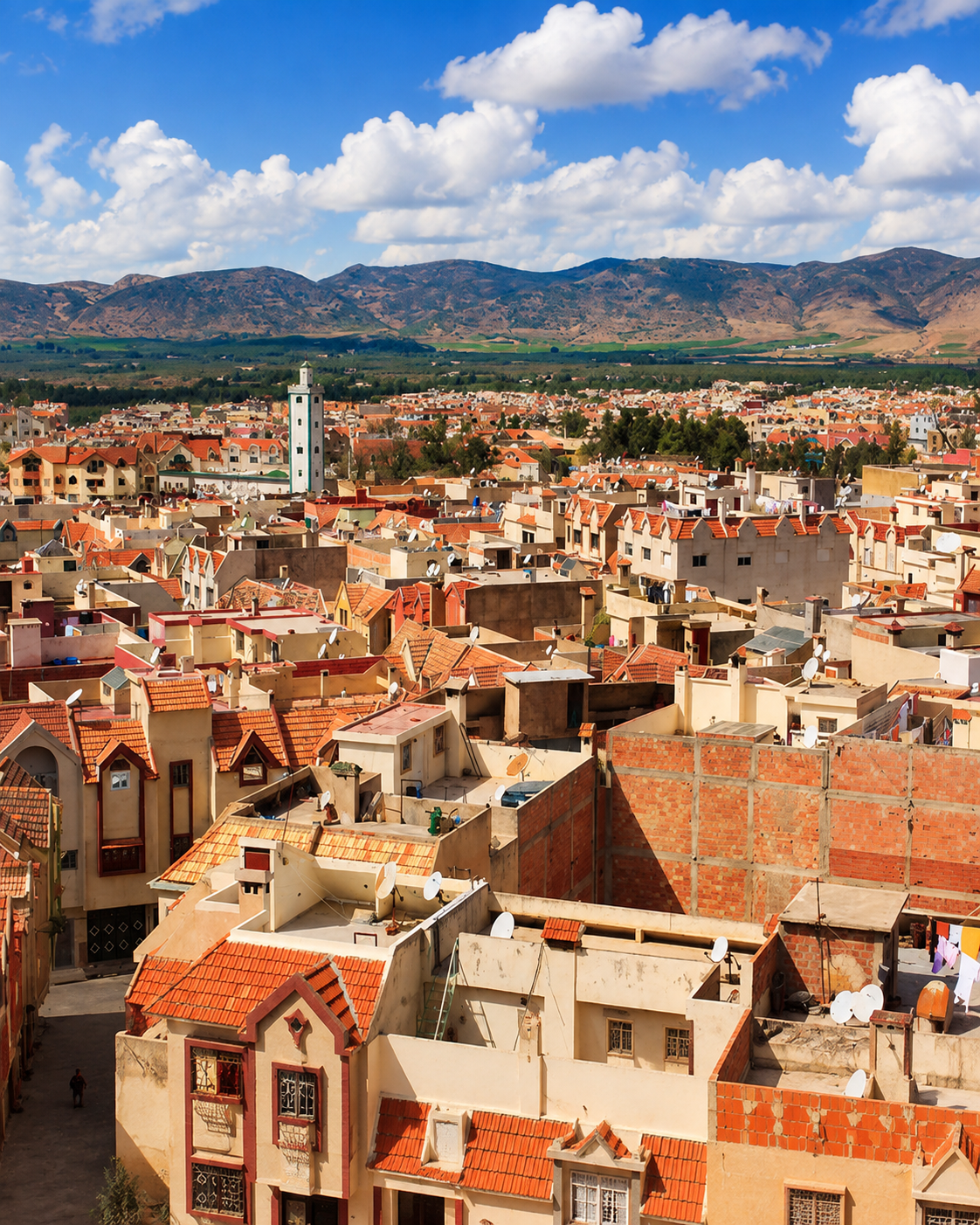
Azrou town roofs and minaret under clear highland light

Town centre rhythm

At street level, roofs, public fronts, small shops and daily errands keep the mountain town human in scale.

Azrou at a glance

Middle Atlas city

Azrou belongs to the mountain logic of the Middle Atlas: cooler air, forest roads, highland markets and regional routes rather than coastal or desert identity.

Amazigh market-town identity

The town is strongly associated with Amazigh highland culture, local exchange, craft activity, rural hinterlands and practical services for surrounding communities.

Cedar forest gateway

Cedar country around Azrou and Ifrane gives the city its best-known natural context, including woodland routes and encounters with Barbary macaques.

A useful regional base

Azrou works well for visitors who want to combine a real town centre with Cèdre Gouraud, Ifrane National Park edges and wider Middle Atlas landscapes.

A clearer reading of the city

A city shaped by rock, forest and everyday exchange

To understand Azrou, do not separate the town from the forest. Its meaning sits in the relationship between public squares, market streets, green-tiled fronts, road junctions, cedar routes and the mountain communities that use the city as a practical centre.

Forest and water landscape near Azrou
Layer 1

Forest threshold

The cedar slopes above Azrou shape the city’s visitor image, but they also belong to a living mountain environment that needs respect, patience and careful movement.

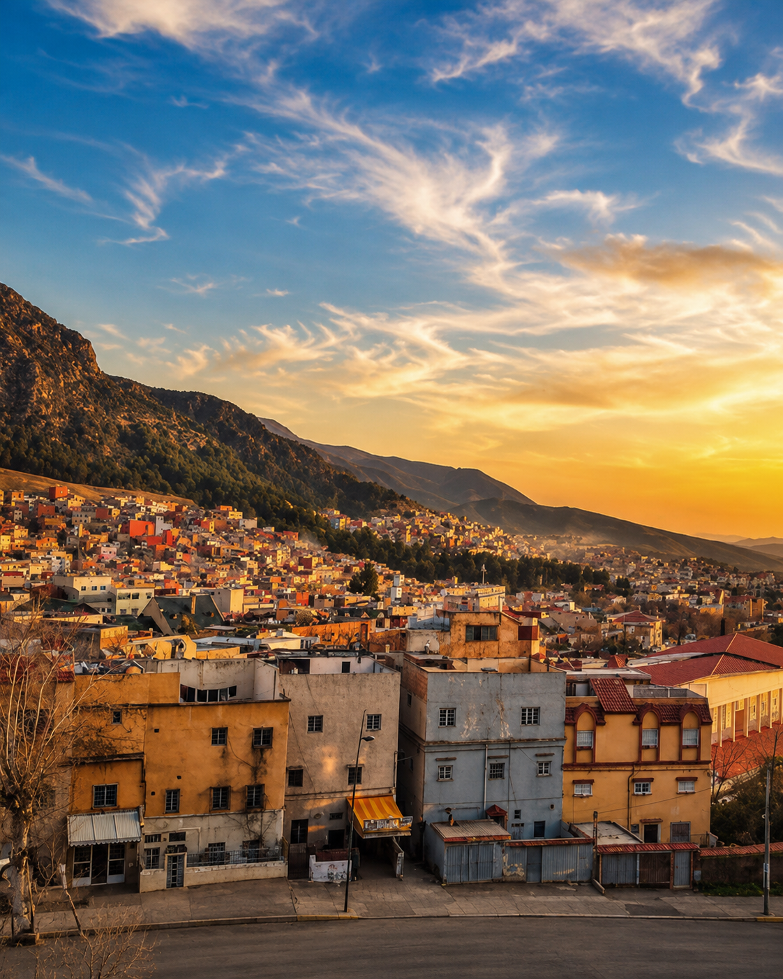
Azrou rooftops and mountain backdrop
Layer 2

Town centre fabric

Public fronts, cafés, shop signs, roofs and street movement give Azrou its local texture. This is where the town becomes more than a scenic stop.

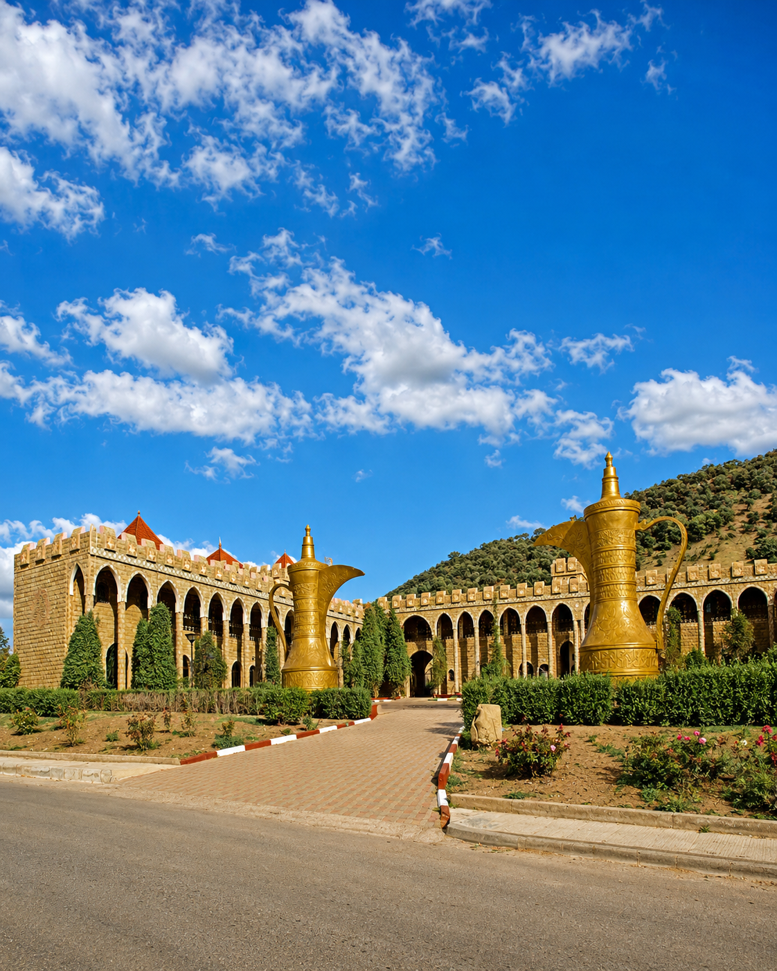
Public arcades and urban frontage in the Middle Atlas context
Layer 3

Public fronts and craft routes

Public fronts, small shops, craft habits and route-side services connect Azrou to the everyday exchanges of the Middle Atlas hinterland.

Landmarks & orientation

Read Azrou through six defining places

No single monument explains Azrou. These six points help visitors understand the link between the town centre, the rock that gives the city its name, the market streets, cedar forests and nearby highland routes.

1
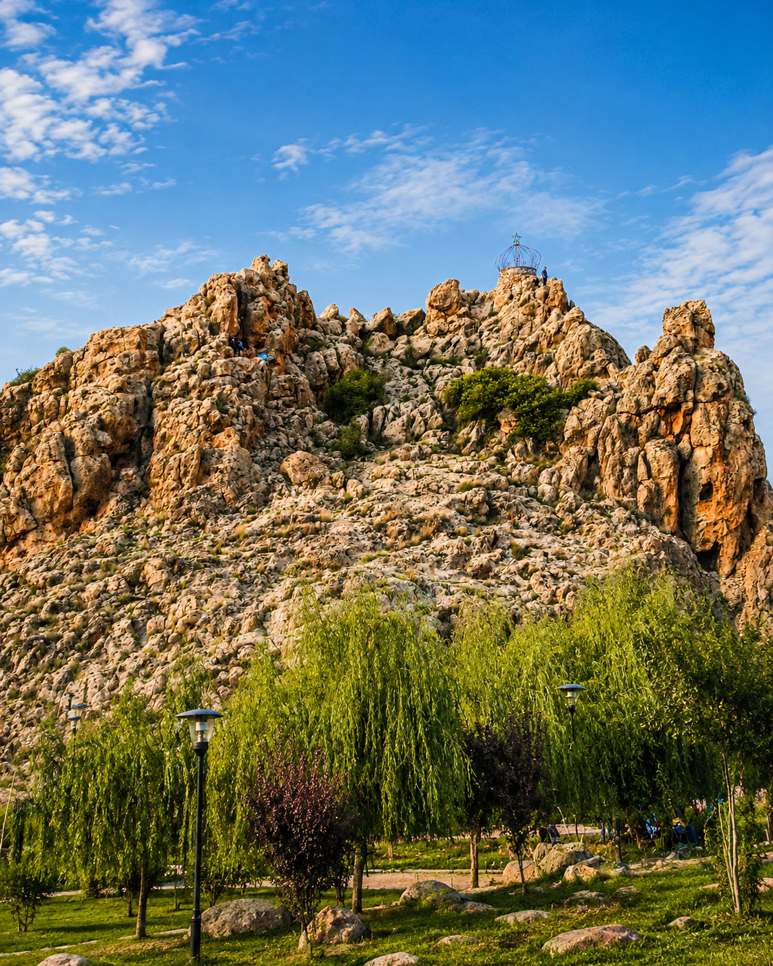
The Rock of Azrou

The city’s name is tied to rock and stone, making the natural outcrop part of Azrou’s identity rather than a decorative footnote.

2
Azrou city centre

Green-tiled roofs, public fronts and everyday movement give the town its immediately recognisable Middle Atlas character.

3
Souika and market streets

Small shops, textiles, produce and local trade reveal Azrou as a working market town for surrounding highland communities.

4
Cèdre Gouraud forest

The cedar forest above town is one of the key natural extensions from Azrou, best approached as a landscape to read slowly and protect carefully.

5
Ifrane National Park edge

The protected cedar setting around Azrou and Ifrane connects forest, wildlife, altitude and wider Middle Atlas ecology.

6
Craft and rural-route context

Craft activity, agricultural hinterlands and mountain-road stops help explain how Azrou links town life to the surrounding countryside.

Rock outcrop and parkland at Azrou’s mountain edge
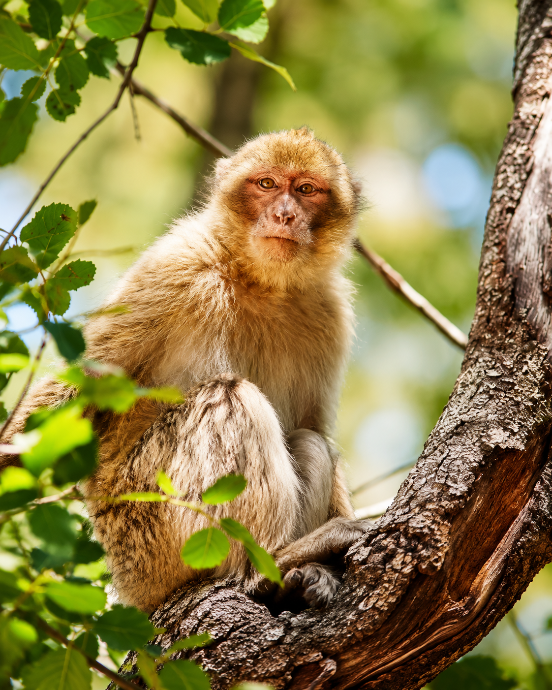
Barbary macaque among cedar forest greenery near Azrou

Forest-town identity

Cèdre Gouraud and the cedar threshold

The cedar landscape above Azrou is not just a backdrop for photographs. It is a threshold between town and mountain, between market rhythm and woodland stillness, and between easy visitor access and a fragile ecological setting. A good Azrou visit gives the forest time without reducing the city to a quick wildlife stop.

  • Treat macaque encounters with distance and restraint; the forest is habitat before it is spectacle.
  • Give the town centre its own time before driving directly to the cedars.
  • Read Azrou as a Middle Atlas base: urban life, forest route and highland crossing in one place.

Architectural reading

Three built languages to notice

Rock and slope

Azrou’s first architectural lesson is geographic. Buildings sit below dark hills and forest edges, so the town’s form is read together with altitude, slope, changing weather and stone.

Green-tiled public fronts

The green roofs and public-facing buildings of the centre create a distinctive highland image, more modest and practical than monumental but immediately memorable.

Market texture and service buildings

Shops, workshops, cafés, small hotels, transport points and everyday façades show the city as a functional Middle Atlas crossroads, not a preserved museum scene.

Visual atmosphere

Cedar shade, green roofs and market movement

Nearby highlights

Nearby forest, town and highland routes

Azrou is compact, but its surroundings are generous. Use it as a base for cedar forest walks, Ifrane’s contrasting mountain-town atmosphere and wider Middle Atlas routes rather than treating it as a single photo stop.

Ifrane

A nearby mountain town with a very different urban mood: gardens, clean streets, alpine-influenced architecture and easy access to Middle Atlas landscapes.

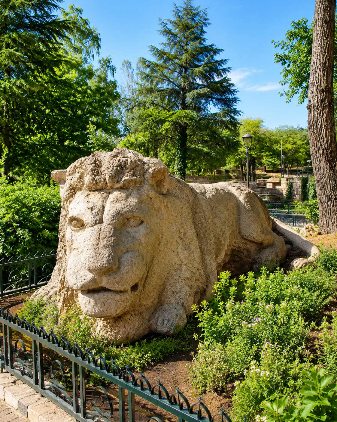
Stone lion landmark in Ifrane

Cedar forest routes

Cèdre Gouraud and the cedar roads above Azrou give the visit its most direct nature extension. Move slowly, keep wildlife distance and avoid turning the forest into a rushed stop.

Cedar forest and lake route near Azrou

Middle Atlas landscapes

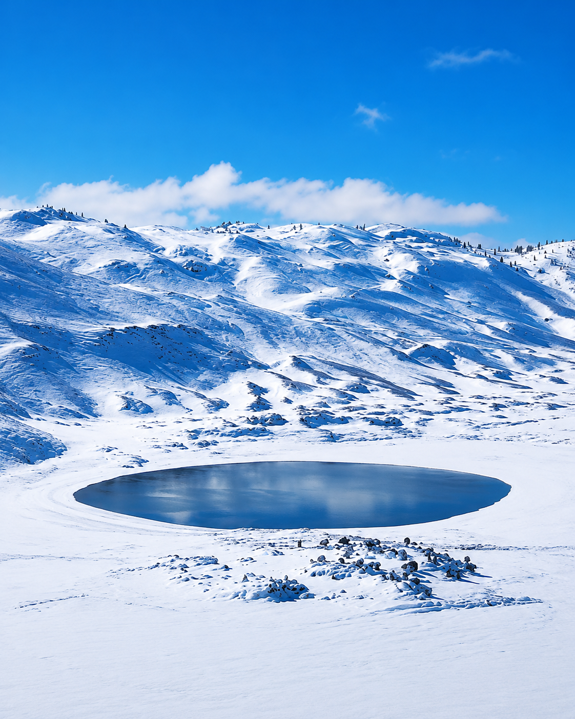
Plateaus, wooded slopes and rural roads around Azrou open toward lakes, villages and deeper highland journeys for visitors with time beyond the town centre.

Snow-covered Middle Atlas landscape near Azrou and Ifrane
Travel note: forest access, road conditions, weather, wildlife behaviour and local visitor arrangements can change. Check current official or trusted local information before travelling.

Practical orientation

How to experience Azrou well

  • Give the town centre time before heading straight to the cedar forest.
  • Read Azrou as a market town, not only as a nature stop outside Ifrane.
  • Combine a short urban walk with a separate forest route for a balanced visit.
  • Keep distance from macaques and avoid behaviour that turns wildlife into entertainment.
  • Leave flexibility for mountain weather, winter conditions and changing road visibility.

A strong first visit

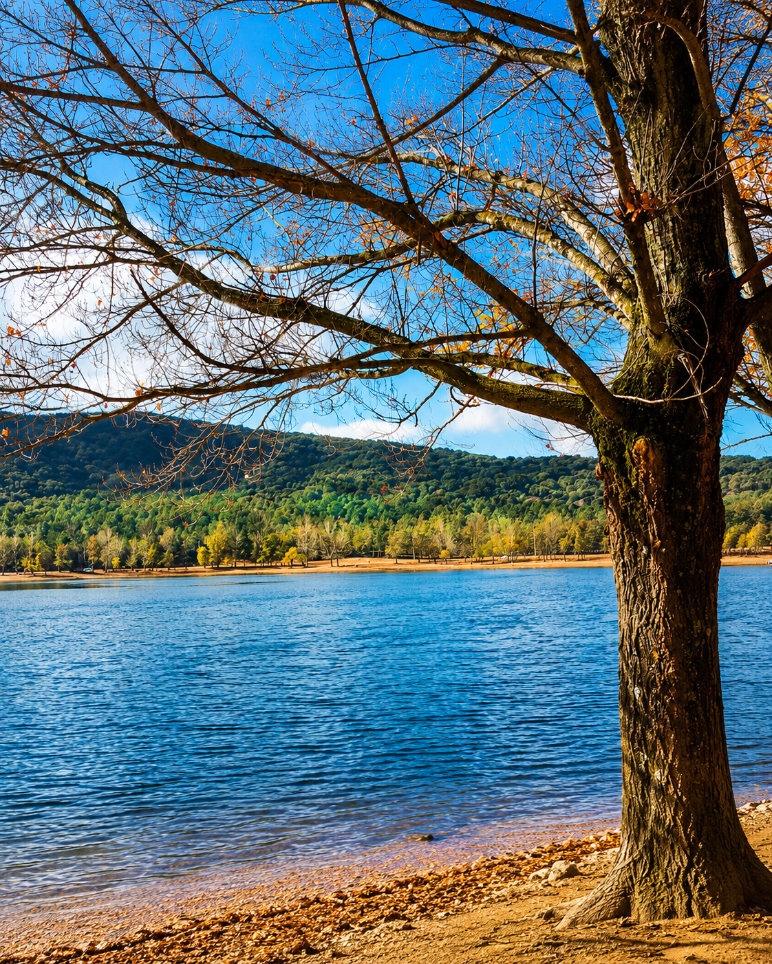
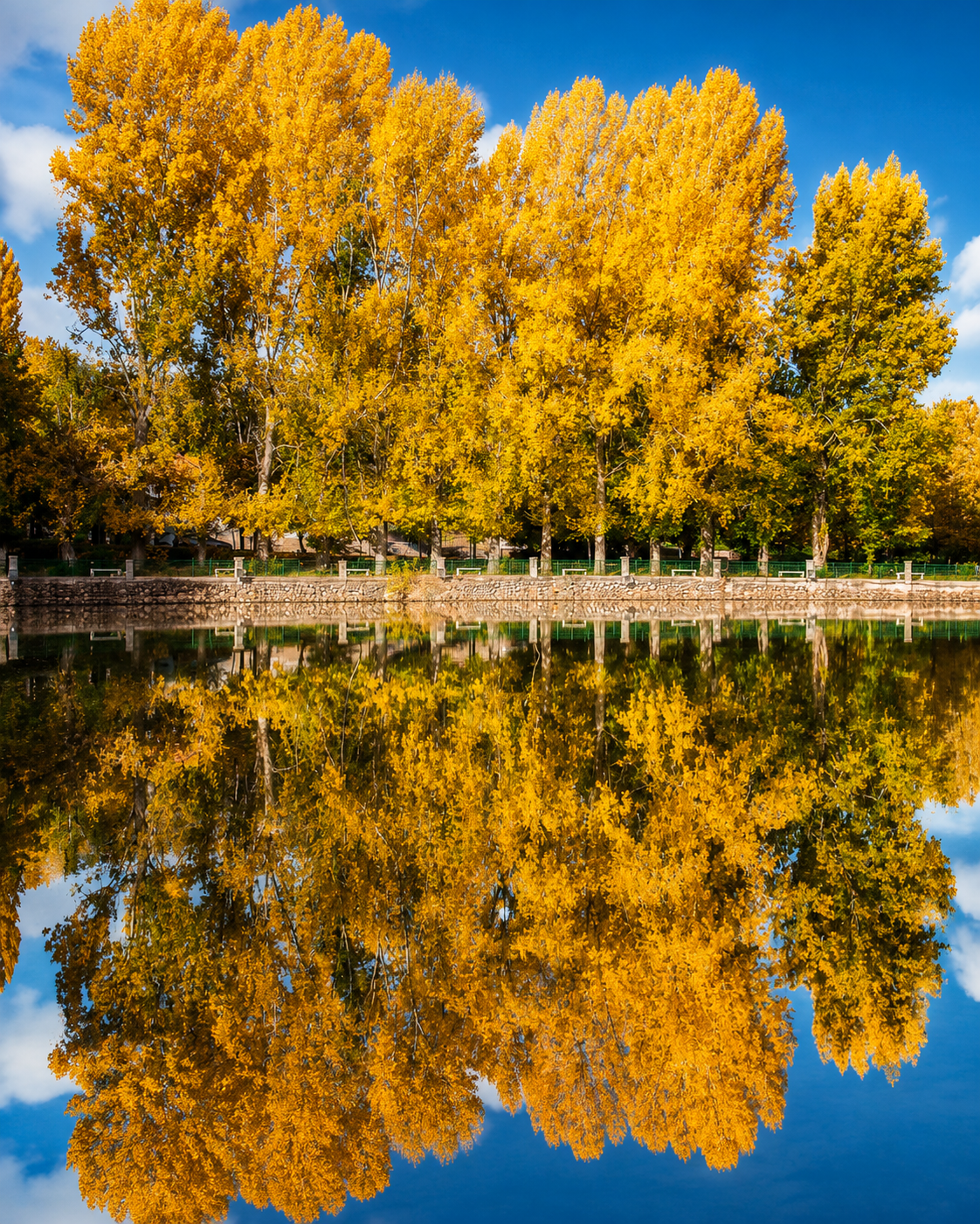
Golden lakeside trees in the Middle Atlas near Azrou

Begin in the town centre around the green-roofed public fronts and market streets, then move toward the cedar forest above Azrou. Keep the forest as a second chapter, not a replacement for the city.

Snow-covered Azrou town and Middle Atlas hills for the Azrou city guide

Go deeper with Exotic Morocco

Azrou — Premium Visual City Guide

Continue with a careful visual reading of Azrou: town centre, rock identity, cedar routes, Amazigh market rhythm, wildlife etiquette, nearby Ifrane context and wider Middle Atlas orientation.

✓ Town centre orientation✓ Cedar forest routes ✓ Amazigh market-town context✓ Wildlife etiquette ✓ Practical travel guidance✓ Nearby highland highlights

Continue the journey

Continue the journey through Azrou

Follow Azrou from green-roofed streets to cedar shade, from market movement to Middle Atlas roads, and from a compact town centre into wider mountain country.