Why Win-Timdouine matters
A mountain water system, revealed.
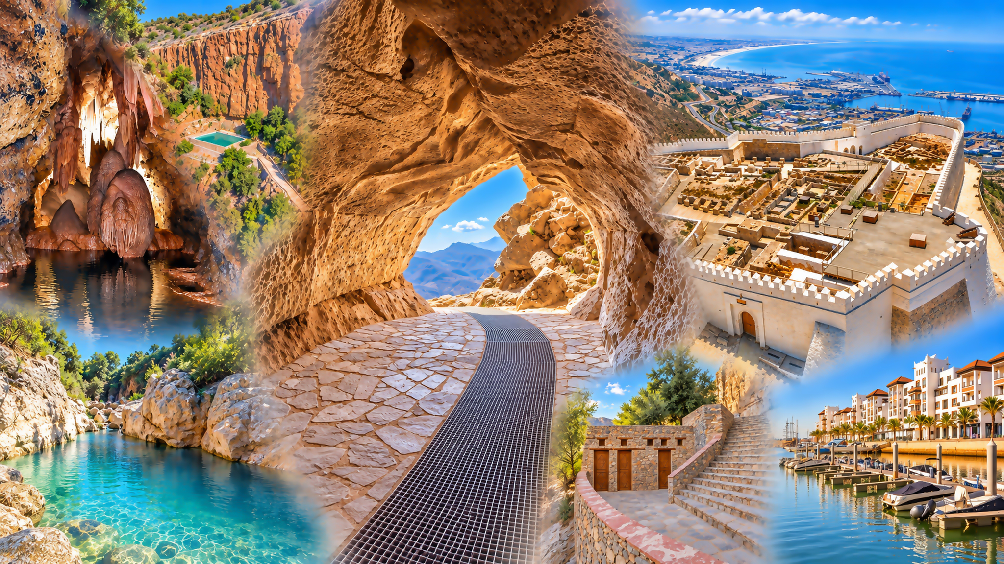
Win-Timdouine belongs to the Ida Outanane country northeast of Agadir, in the western High Atlas. Often called the Cave of the Lakes, it is an active karst system: a network through which water moves inside soluble rock. The opening visible from outside is only one small part of that underground geography.
Regional tourism sources describe roughly 19 kilometres of galleries containing an underground river and a succession of lakes. This is the scale of an explored natural system whose extent is largely invisible from the entrance. The mountain holds far more than the exterior view can reveal.
The cave also has a scientific history. The international Win-Timdouine 2008 expedition brought French and Moroccan specialists together to investigate subterranean life and continue exploration. Looking at the site through that work shifts attention from the most dramatic chamber to the relationships among water, rock and organisms.
For a visitor arriving from the Atlantic coast, the setting introduces a different scale of Morocco. Agadir gives the journey its practical base; the mountain approach asks for closer attention to terrain, access and the purpose of the day. A worthwhile visit can stay outside, with time to observe the setting rather than an expectation of entering.
The most useful question here is what kind of place the cave actually is. A landscape stop, a scientific study site and a guided underground expedition can share a location while offering very different experiences. Keeping those distinctions clear makes planning more honest and the encounter more rewarding.
Orientation: Souss Massa caving guidance and regional tourism development information. Scientific context: the French Federation of Speleology’s 2008 expedition record.