Why Belyounech & Jbel Musa matter
A mountain village at one of Morocco's clearest thresholds.
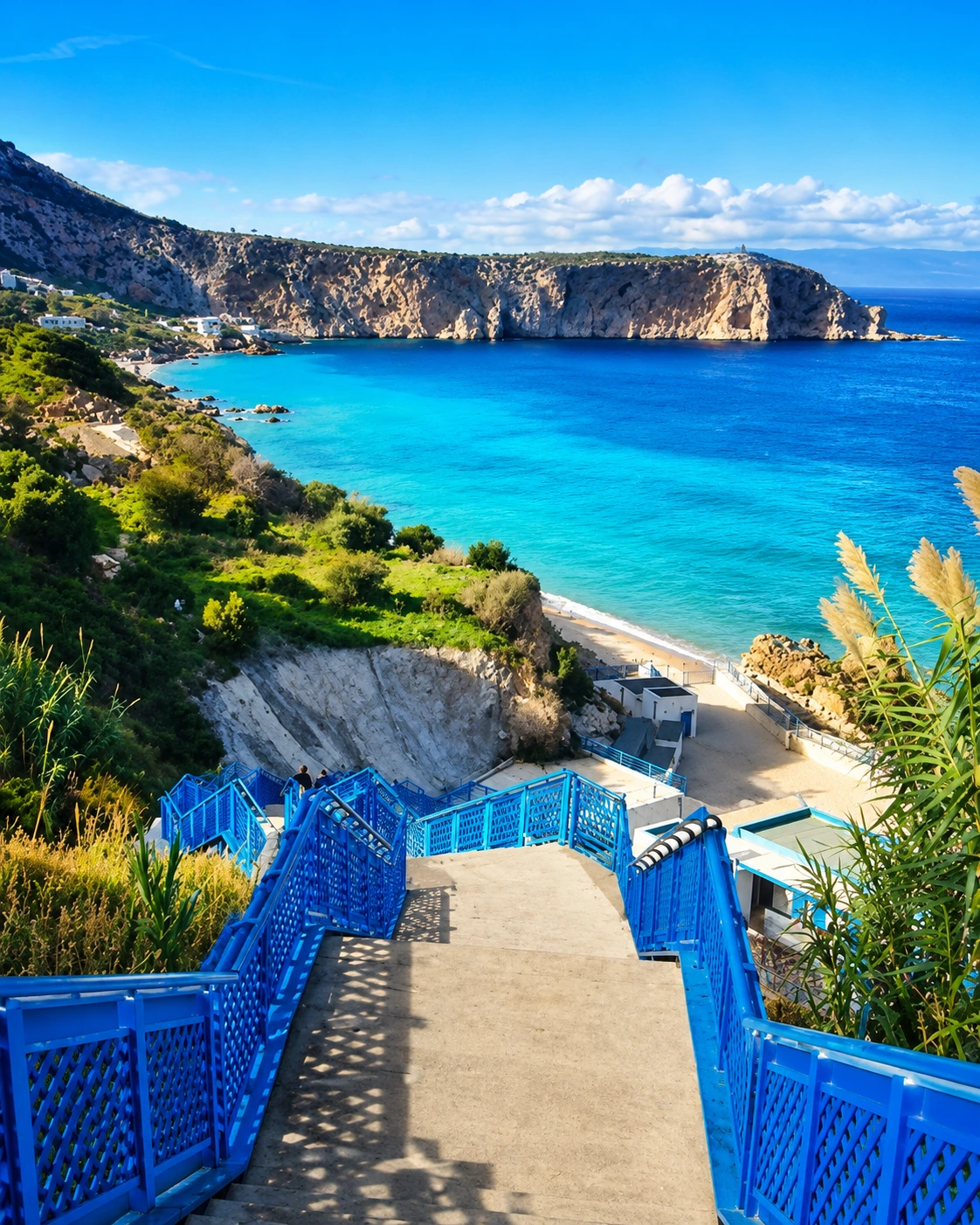
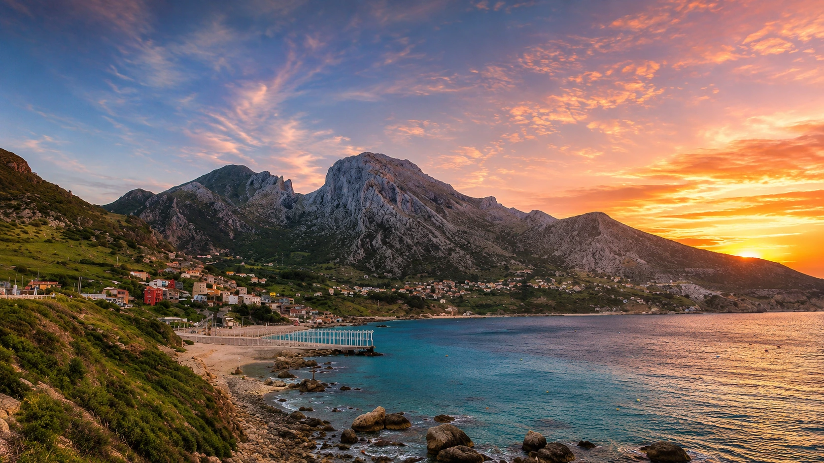
Belyounech and Jbel Musa matter because they make geography visible. Here the northern Rif does not fade gently into the sea; it rises hard above coves, paths, white houses and a shoreline facing the narrow water between Africa and Europe.
The mountain is often written as Jbel Moussa in conservation and scientific sources. Its coastline is internationally recognised through the Ramsar-listed Littoral de Jbel Moussa, and the wider Jbel Moussa area is identified by Key Biodiversity Areas as important for migrating soaring birds using the Strait.
That ecological context changes the way the place should be read. The view is not only scenic. Cliffs, updrafts, coastal vegetation, coves and open water form a working landscape where wind, rock, seasonal movement and local fishing life meet in a narrow space.
Belyounech adds the human scale. The village is not a stage set below the mountain; it is part of the place's rhythm. A good visit moves with care through lanes, viewpoints and shore edges, leaving room for local life while noticing how settlement fits into steep terrain.
For travellers, the strongest reading is slow and layered: first the mountain outline, then the bay, then the path, then the Strait horizon. Jbel Musa feels dramatic from far away, but the intelligence of the place comes from how many scales are held together.
Core ecological facts are grounded in the Ramsar listing for Littoral de Jbel Moussa, the Key Biodiversity Areas factsheet for Jbel Moussa and the UNESCO Man and the Biosphere context for the Intercontinental Biosphere Reserve of the Mediterranean. Practical access conditions should be checked close to travel.