Why El Jebha Coast matters
A coast before it is a view.
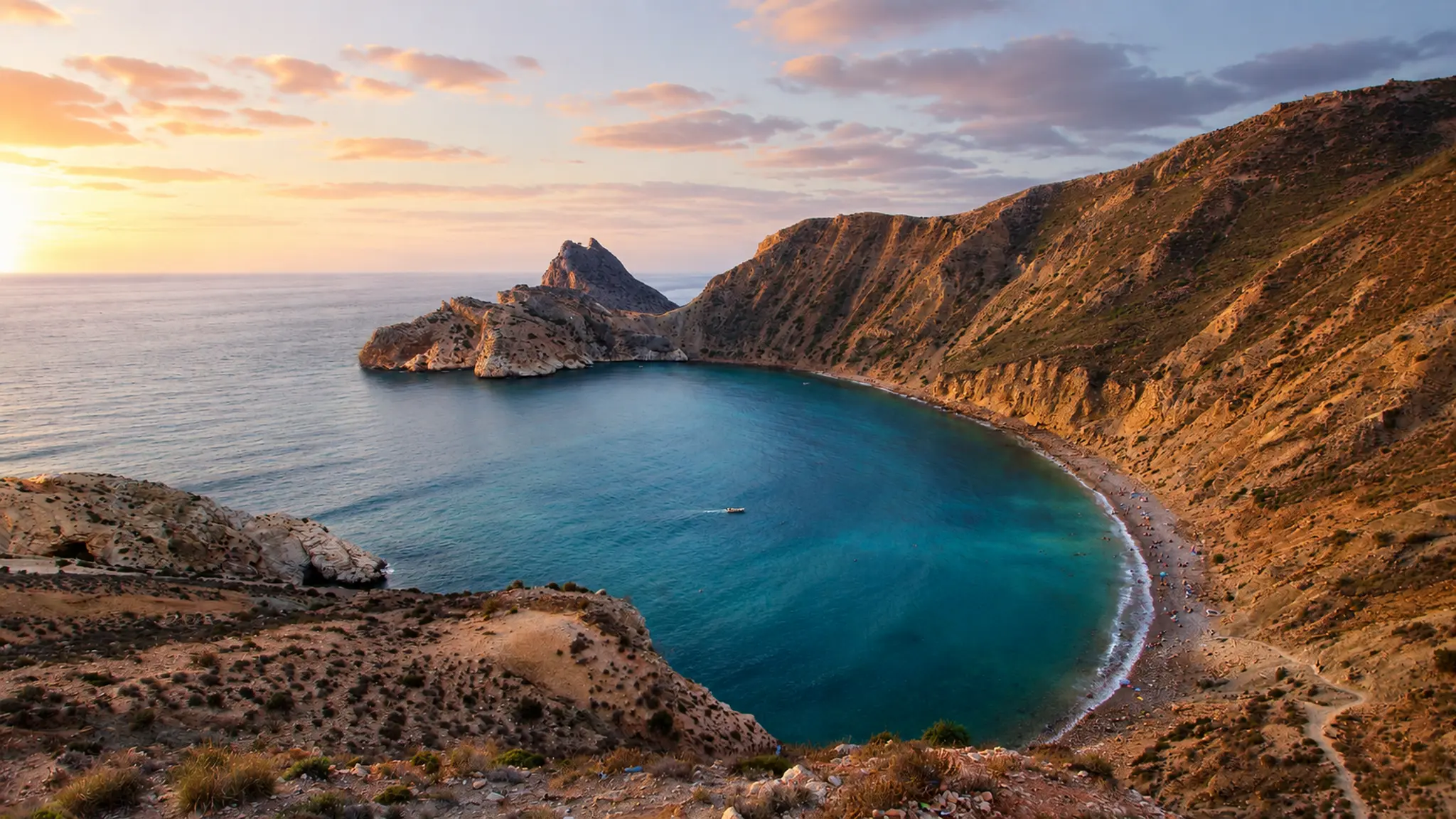
El Jebha matters because it makes the northern Rif coastline unusually legible. This is not a resort frontage separated from its geography. The town and coast sit where steep land meets the Mediterranean, so the first reading is structural: mountain pressure, water, harbour work, small beaches, bends in the road and a settlement held tightly by terrain.
The place is commonly described as a small port town in Chefchaouen Province within the Tanger-Tétouan-Al Hoceïma region. That administrative detail matters for visitors because El Jebha is often understood through inland Chefchaouen, but the coast has a different rhythm: maritime, exposed, practical and shaped by the meeting of Rif slopes and open sea.
Its strongest value is not spectacle alone. The bay, cliffs and harbour edge help visitors understand a quieter Mediterranean Morocco: fishing boats, road journeys, steep approaches, changing light and water that can look calm while the landscape around it remains rugged. The beauty comes from this tension between shelter and exposure.
El Jebha is also a route place. Travellers often read it between better-known northern destinations, but it deserves its own pause because the coastline clarifies how movement along the Rif is negotiated by geography. Roads, coves and viewpoints are not decorative extras; they are part of how the coast is experienced.
For visitors, the best approach is careful and unhurried. Look first at the bay as a whole, then at the harbour scale, then at the slopes behind the water. This order keeps the place grounded in real coastal life rather than turning it into a flattened postcard.
Core location facts are checked against the Wikidata El Jebha record and OpenStreetMap-based place mapping. Sea conditions, access and local transport should be verified close to travel.