Why Ksar Sghir matters
A small fortress with a wide horizon.
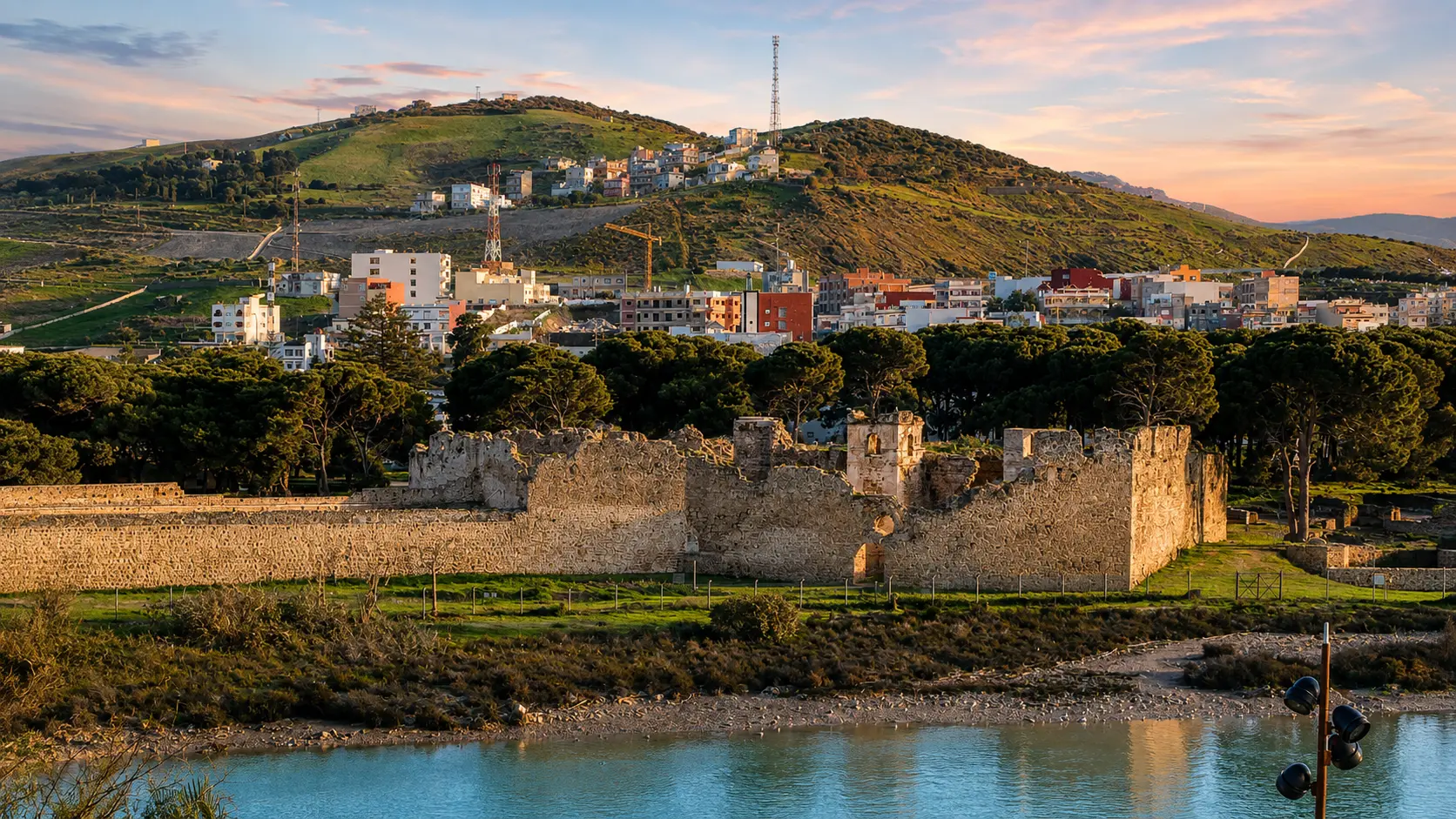
Ksar Sghir matters because it compresses a large northern Moroccan story into a very legible place. The site stands on the strait coast between Tangier and Ceuta, where sea passage, military control, river access and settlement all shaped the value of the shore.
The Moroccan Ministry of Culture describes the medieval site as one of Morocco's major archaeological places and as part of the wider Circle of the Strait of Gibraltar. That framing is important: Ksar Sghir is not just a quiet ruin by the water, but a coastal document of movement between Morocco, the Mediterranean and al-Andalus.
The site is also unusual in plan. Official heritage material describes the Islamic city inside a circular enclosure of about 200 metres in diameter, giving it a rare urban form in Moroccan and western Islamic medieval planning. From above, that geometry explains why the walls read as one controlled coastal system rather than scattered remains.
Its later Portuguese layer adds another reading. The Ministry identifies two monumental and urban units: the Islamic city and the Portuguese citadel. It also points to the Couraca, a defensive sea-linked structure that makes the relationship between the town and the water impossible to ignore.
For visitors, the reward is not spectacle alone. Ksar Sghir asks you to read wall curve, tower rhythm, water edge, town life and strategic horizon together. Its beauty comes from position: a place small enough to understand slowly, but open to one of the most consequential maritime corridors in the region.
Core heritage facts are grounded in the Moroccan Ministry of Culture page for CIP Ksar Sghir and the Journal of Field Archaeology abstract hosted by Arizona State University. Practical details should be checked close to travel.