Why Cape Ghir matters
A headland before it is a viewpoint.
Cape Ghir matters because it makes the Atlantic edge north of Agadir easy to read. It is not a city monument and not simply a roadside photo stop. The cape is a promontory: a place where land pushes outward, the road bends with the coast, wind crosses open water, and the horizon becomes part of the visitor's sense of scale.
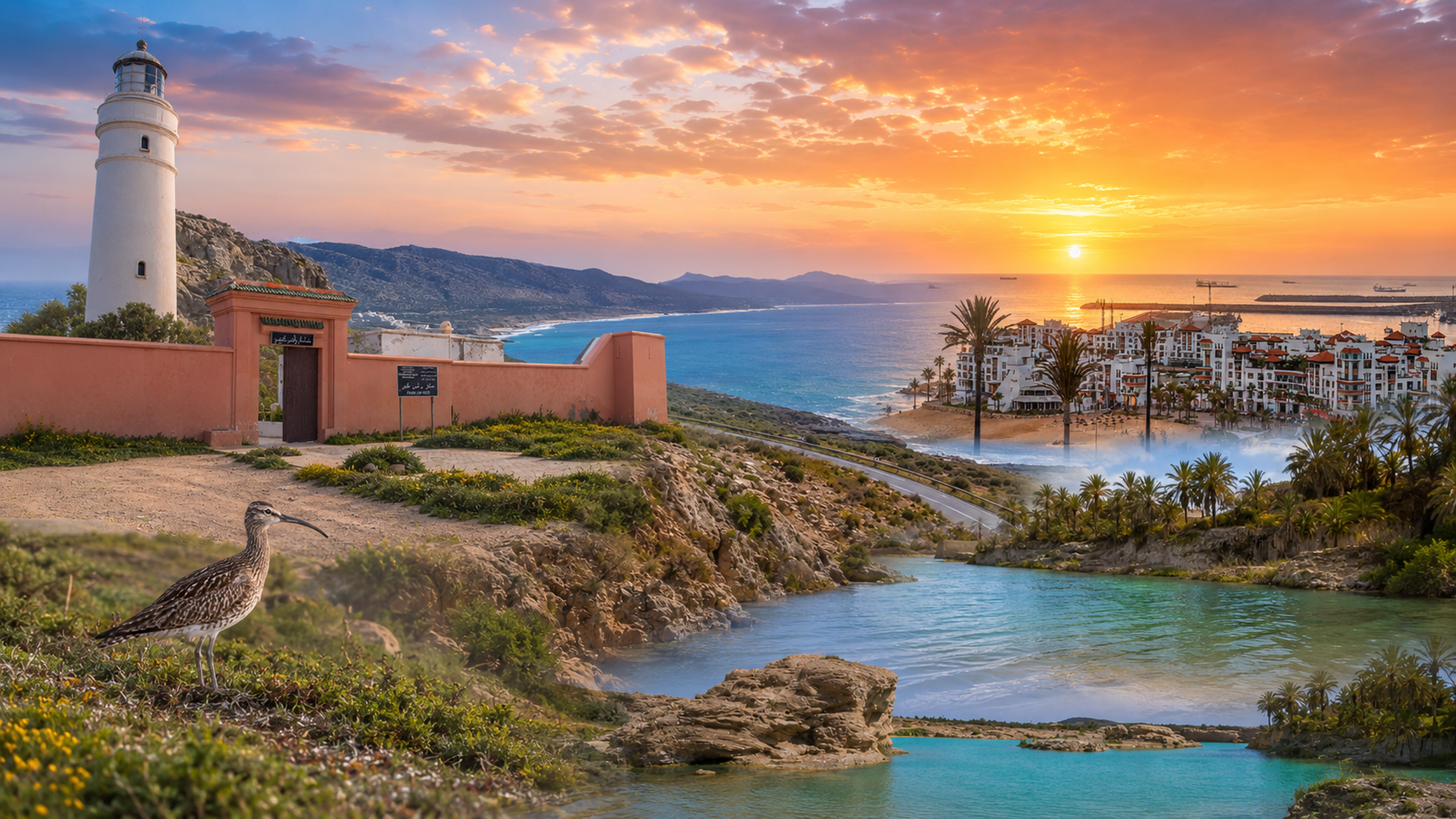
The lighthouse gives the place its clearest landmark. Regional tourism material places the Cape Ghir lighthouse at the cape, about forty kilometres northwest of Agadir, and identifies it as a 1932 structure rising above the coast. Those facts are useful because they frame the site through maritime orientation, not only scenery.
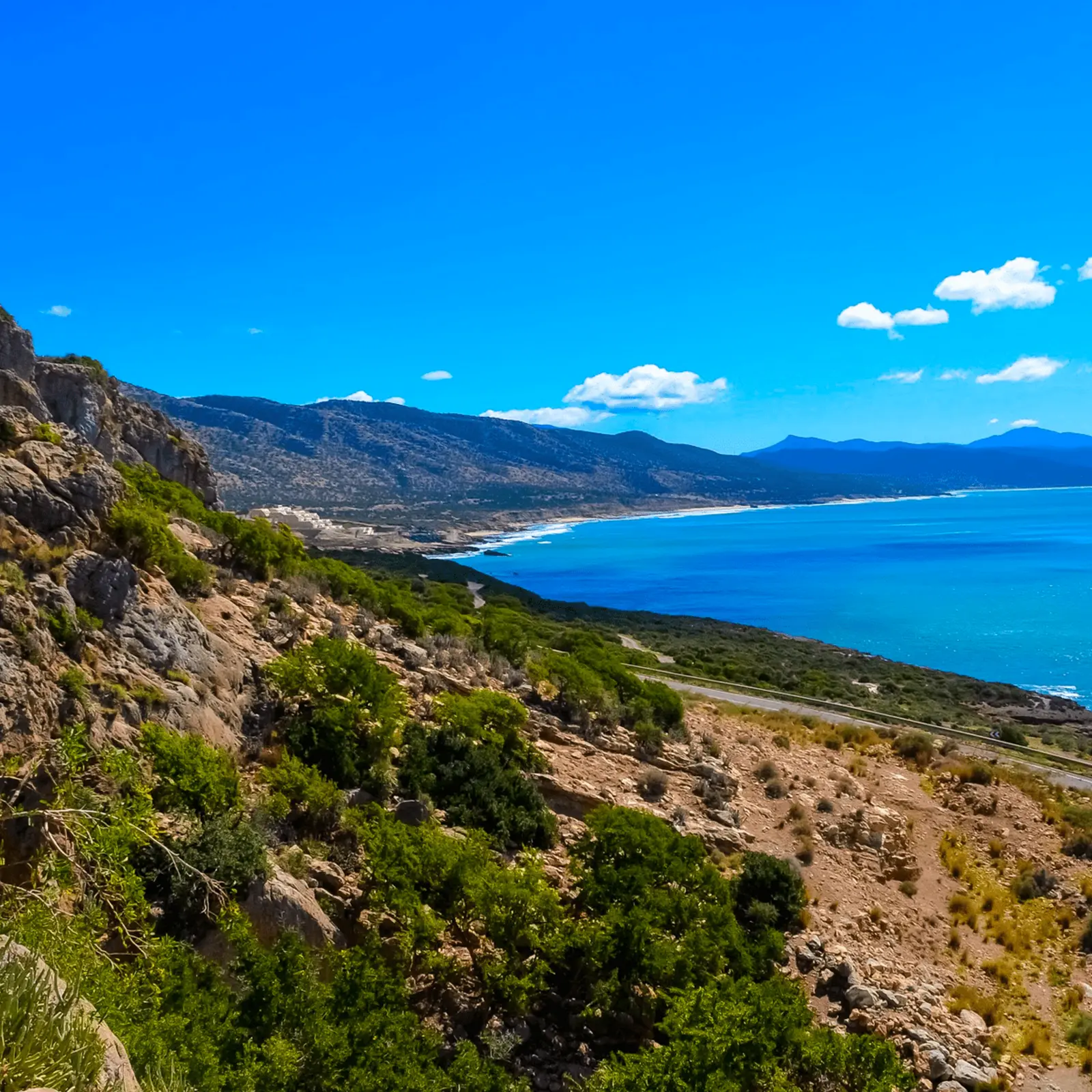
The surrounding landscape is just as important. Rocky slopes, coastal vegetation, euphorbias, argan country, blue water and exposed light create a different rhythm from Agadir's beach urbanity. Cape Ghir is where the wider Souss-Massa coast feels more geological, more open and more dependent on wind, distance and careful looking.
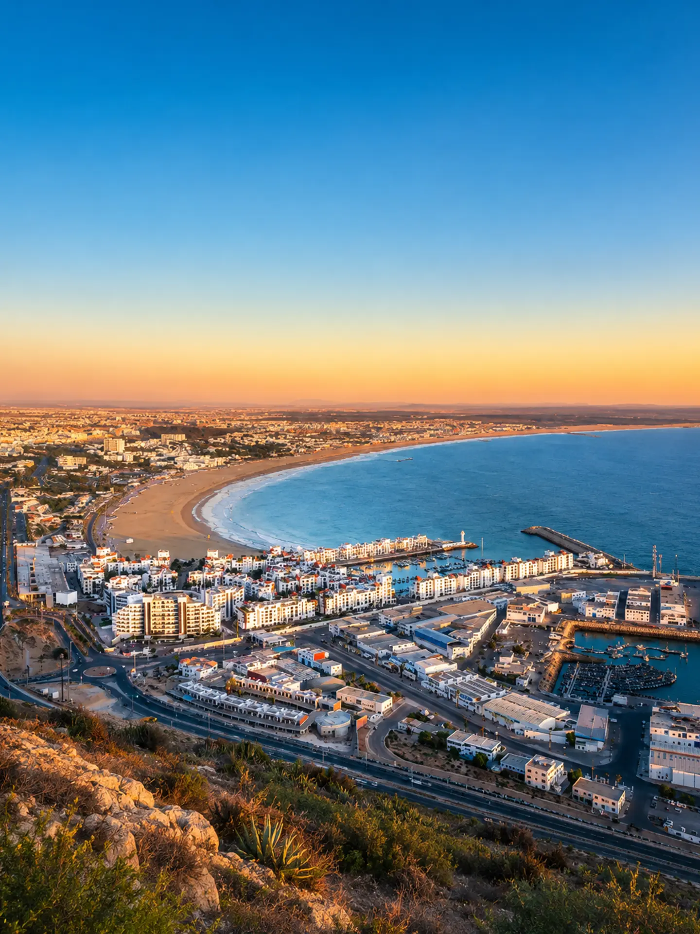
For visitors, the value is clarity. The cape helps connect Agadir with the northern coastal road, Taghazout and the Atlantic landscapes beyond. It also asks for restraint: viewpoints, vegetation, cliffs and sea edges are not props. They are sensitive parts of a living coastal environment.
Approach the place slowly. Let the lighthouse mark the scene, then widen the view: road below, mountain-backed coast, ocean surface, low vegetation and the curve of land that explains why this cape has long acted as a visual anchor.
Core orientation facts are grounded in Agadir Souss-Massa regional tourism information on Cape Ghir and its lighthouse. Exact access, tower entry and transport details should be checked close to travel.