Why Iriqui Dry Lake matters
A desert basin before it is a spectacle.
Iriqui matters because it makes the hydrology of a dry landscape visible. The lake lies between the Zagora and Tata sides of southern Morocco, within the wider Iriqui National Park landscape. In ordinary dry periods the basin can appear almost emptied of water, yet its broad floor still records drainage, evaporation, wind and sediment.
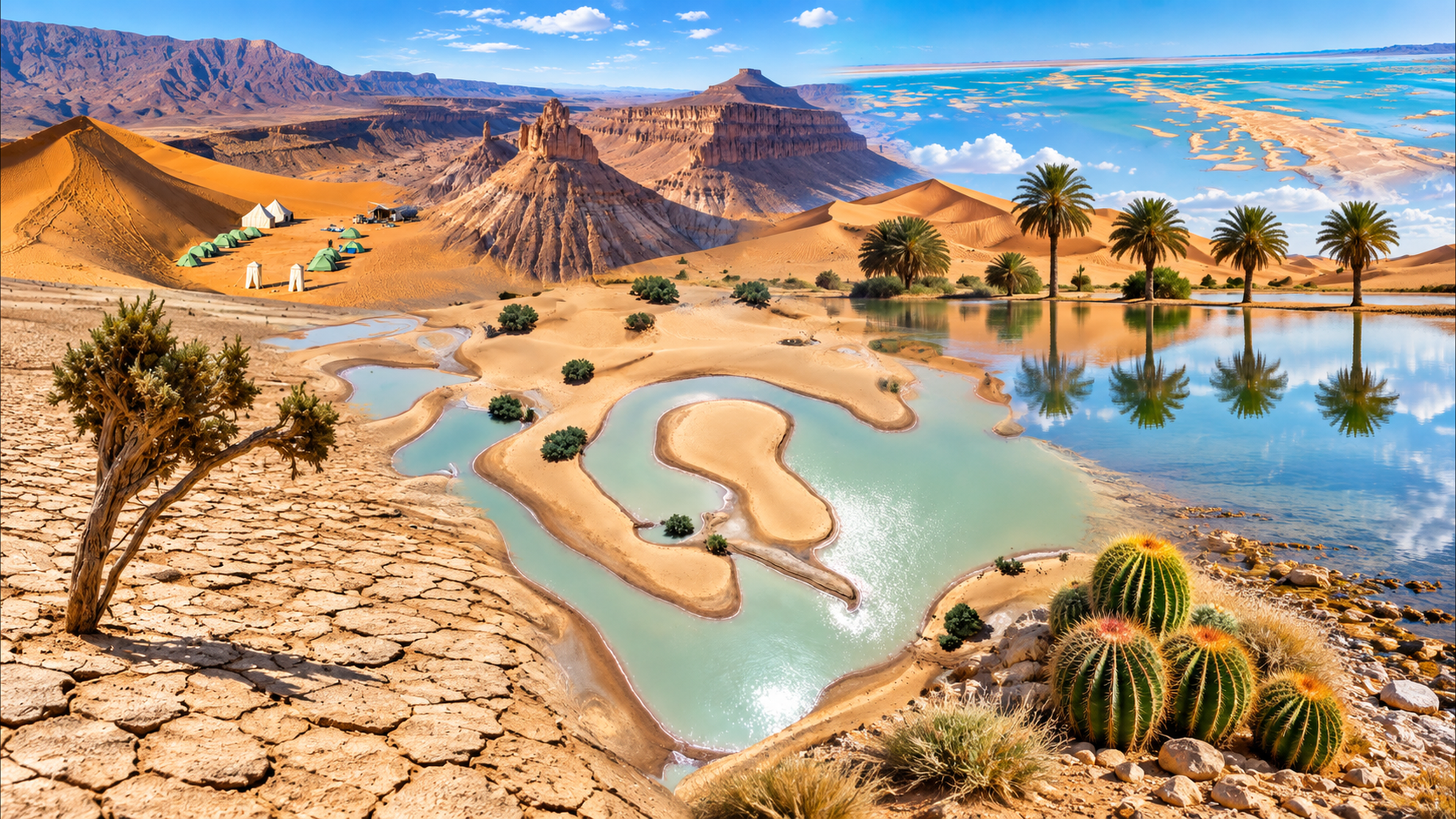
The protected-area context is important. Morocco’s national biodiversity information identifies Iriqui as one of the country’s national parks and dates its creation to 1994. The park represents a subdesert ecosystem where wooded steppe, dunes and the lake basin form a connected landscape rather than separate attractions.
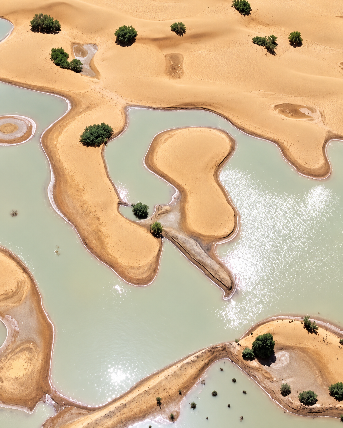
Water changes that reading. Scientific work on Iriqui describes an intermittent lake that can receive runoff after intense rainfall from ephemeral watercourses descending from the Jbel Bani area. When water returns, even temporarily, reflective surfaces, soft shorelines and wetland habitat can reappear across terrain that usually reads as dry.
This seasonal character also explains the site’s ecological interest. In wet periods, the lake can function as a stopover or wintering area for migratory waterbirds. That possibility should be understood carefully: water and birdlife are not guaranteed visitor features, but expressions of a landscape governed by rare and variable hydrological events.
For travellers, the result is a place that rewards patience rather than checklist tourism. The lakebed, the surrounding dunes and the immense horizon become more intelligible when the visitor looks for traces: a change in surface colour, a salt edge, wind-marked sand, shallow water, vegetation around drainage lines or the shift from hard ground to softer sediment.
Protected-area context is grounded in Morocco’s Biodiversity Clearing-House; recent hydrological research is described in Land (2025). Practical access conditions should be checked locally close to travel.