Why the Moulouya River Mouth matters
A wetland before it is a coastal detour.
The Moulouya River Mouth, officially known in French conservation material as the Embouchure de la Moulouya, is one of the clearest places in northeastern Morocco where river, floodplain, dunes and Mediterranean coast can be read together. Its value is not only scenic. It is ecological, geographic and regional.
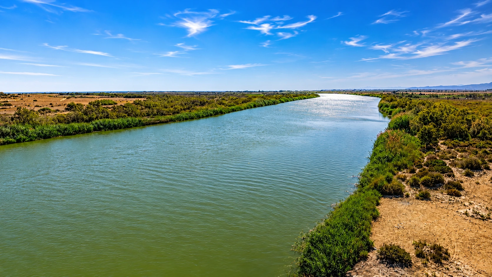
Morocco's national biodiversity profile describes the site as a Ramsar wetland complex that includes the mouth of Oued Moulouya, its floodplain and the adjacent marine strip. It identifies estuarine habitats, coastal salt marshes, a river channel marked by Tamarix woodland, and coastal marine and dune habitats.
That mixture is the core of the place. The visitor sees open water first, but the landscape is more layered than a river photograph suggests: reeds, sandy edges, marshy ground, dune influence, quiet channels, bird movement and the line where freshwater systems meet the sea-facing coast.
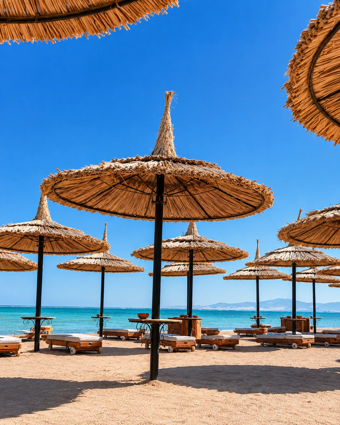
The site also matters because it sits beside Saïdia's Mediterranean tourism zone. That proximity makes the wetland more visible, but also more vulnerable. A good visit does not treat it as a backdrop for noise, litter or motorized pressure. It treats it as a living edge that needs distance, patience and careful movement.
For Exotic Morocco, the Moulouya River Mouth belongs in Visit because it is not a city attraction. It is a natural place where geography becomes readable: eastern Morocco's river system, the Oriental region's Mediterranean coast, the Saïdia beach context and the wider Oujda gateway all meet in one compact landscape.
Core orientation is grounded in the Morocco Biodiversity profile, the Key Biodiversity Areas factsheet and official Morocco tourism guidance for Oujda-Saïdia nature. Check local access guidance close to travel.