Why Draa Valley matters
An oasis corridor before it is a postcard.
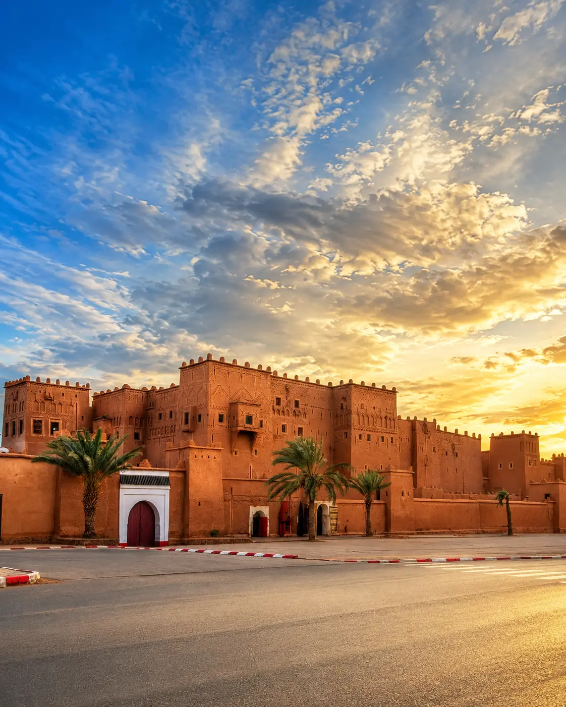
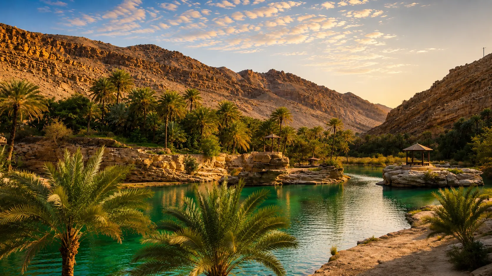
The Draa Valley matters because it makes the fragile logic of southern Morocco visible at landscape scale. A visitor can see, almost immediately, how water creates settlement, how palms soften an arid edge, and how earthen villages hold their colour against stone, dust and open sky.
This is not the beauty of a single monument. It is a corridor of relationships: riverbed and irrigation, date palms and gardens, ksour and kasbahs, small roads and desert approaches. The valley asks to be read as a human geography shaped by scarcity, adaptation and careful use of place.
Morocco's official tourism material places the Drâa palm groves, Agdz, Zagora, Tinfou, Chigaga and the Draa/Dades route family inside the wider Ouarzazate-Zagora-Tinghir travel context. That framing is useful because the valley is best understood as part of a southern route system rather than as one isolated stop.
The most powerful contrast is simple and deep: green life pressed between dry mountains and desert-edge ground. Date palms, cultivated plots and adobe-coloured settlements do not decorate the valley; they reveal how people have organised shade, food, movement and shelter around water.
For visitors, the reward is slower attention. The Draa Valley becomes richer when the eye notices channels, terraces, palm density, village edges, repaired earth, empty river sections and the way light changes from soft oasis shade to hard open exposure within a short distance.
Core orientation is grounded in Morocco's official tourism pages for Ouarzazate-Zagora-Tinghir nature and the Road to the Kasbahs. Practical access, road conditions and local opening arrangements should be checked close to travel.