Why Cala Iris matters
A bay before it is a beach stop.
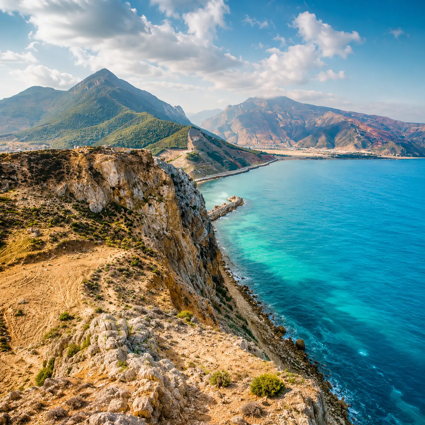
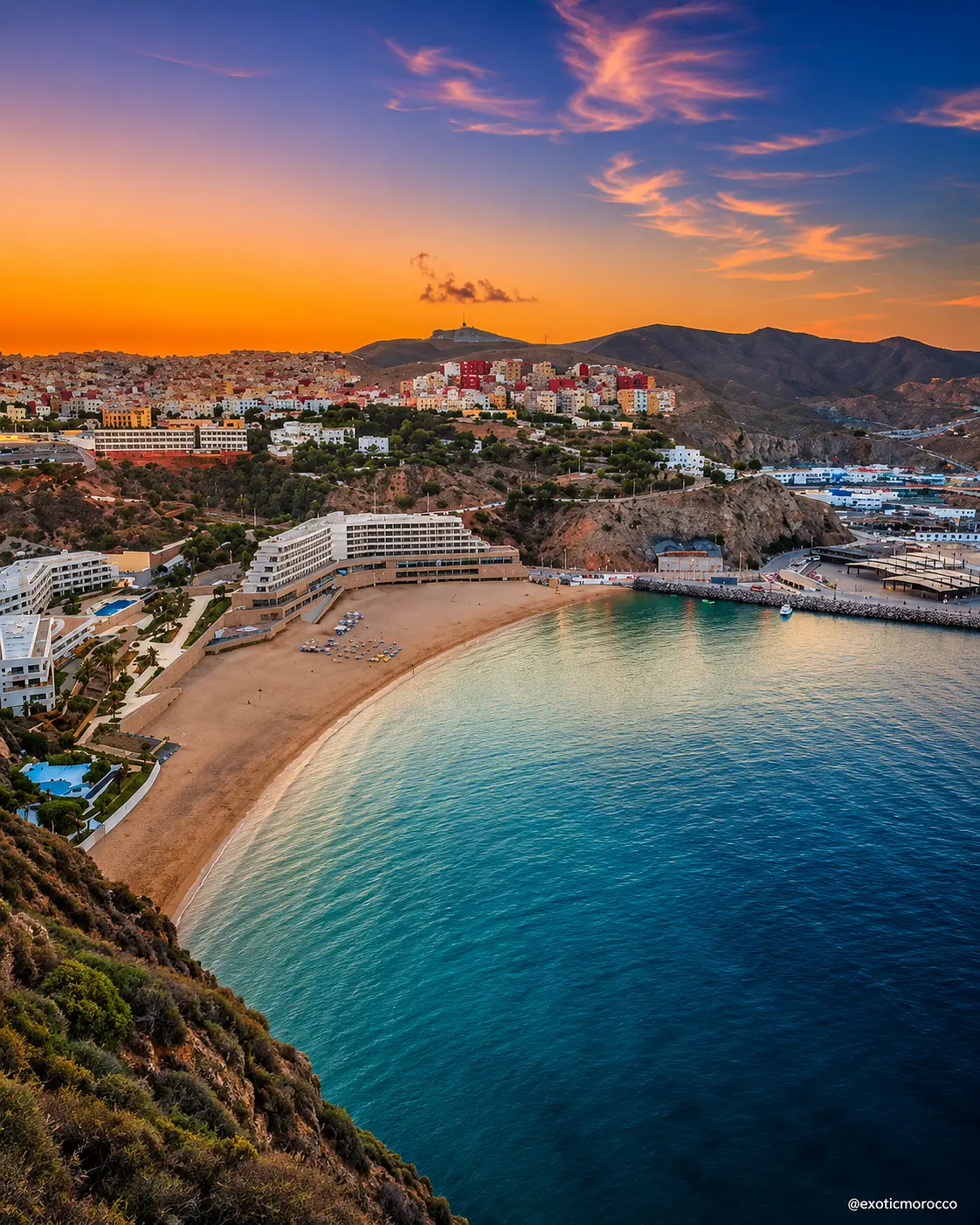
Cala Iris matters because it makes the Rif coast legible at human scale. This is not a resort strip detached from its geography. The beach sits inside a wider coastal setting where cliffs, small harbour life, road access, offshore islets and Mediterranean water all shape the visitor's sense of place.
The name is often used casually for the beach, but the stronger reading is broader: Cala Iris is a coastal settlement and bay context in Al Hoceima province. Its identity comes from the relationship between shore, fishing rhythm, mountain backdrop and the protected seascape around Al Hoceima National Park.
The water gives the first impression, but the land explains the place. Rif slopes hold the coast close; rocky points frame the bay; the road arrives through a landscape that still feels edged by mountain and sea. That makes Cala Iris especially valuable for visitors who want to understand northern Morocco beyond a single city view.
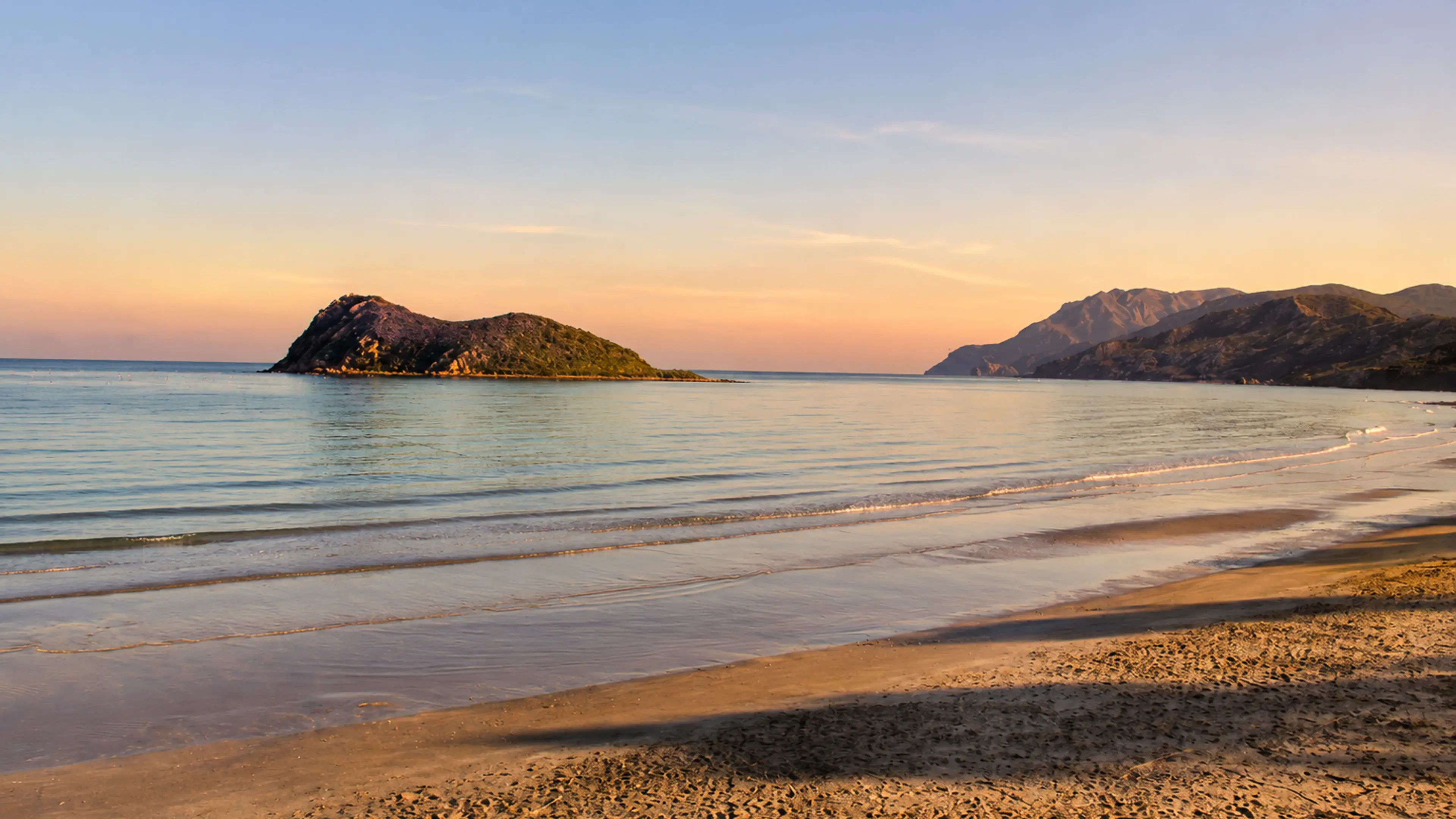
The nearby islets also change the reading. They make the bay feel sheltered and distinctive, while reminding visitors that this is a living marine environment rather than only a scenic photograph. Published field research for Al Hoceima National Park includes Cala Iris among its coastal and marine observation sites.
For visitors, the reward is restraint. Cala Iris does not need heavy spectacle. Its beauty is in the clean meeting of sand, blue water, pale rock, fishing traces and sunset light. The best visit leaves space for local life and treats the beach as part of a fragile coast.
Location and protected-area context are checked against the official Moroccan tourism guide to Al Hoceima and published field research on marine sites in Al Hoceima National Park. Check sea, road and access conditions close to travel.