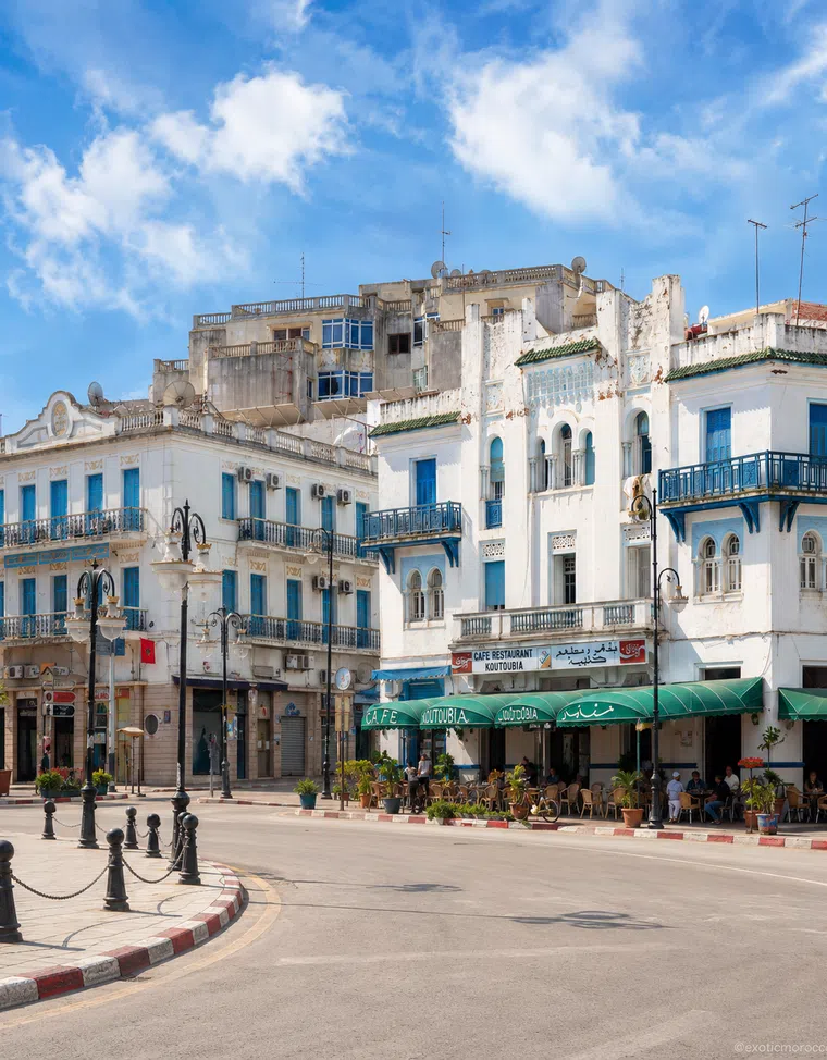
Larache & Lixus
Read the river relationship without merging different periods.

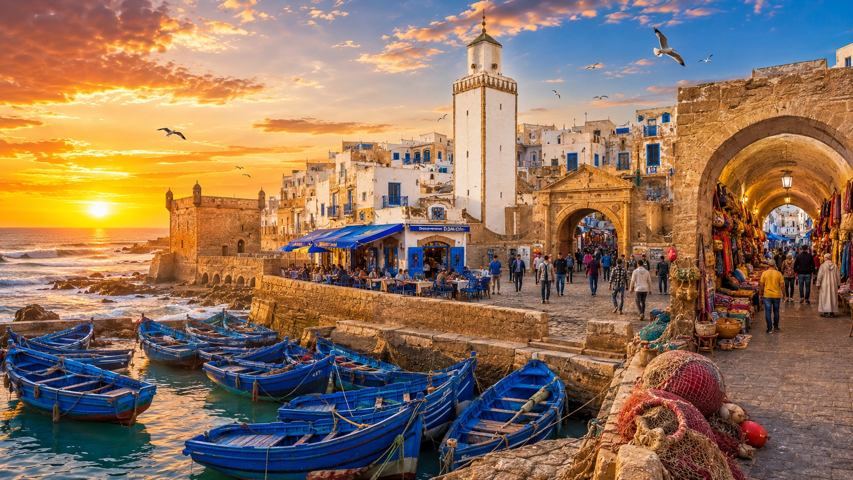
Movement, control and the towns between them
Connect estuaries, fortifications, trade and urban memory through Larache, El Jadida, Essaouira and Tangier.
A port is a relationship between water and land, but also between arrival and authority. Goods and people move through it; walls, gates, institutions and infrastructure organise that movement. The visible waterfront is only part of the story. Inland routes, markets and neighbourhoods help explain what a maritime connection means to a town.
This layer compares four different settings without treating coastal history as one uninterrupted tale of exchange. Larache introduces an estuary and an archaeological neighbour, El Jadida a fortified settlement with Portuguese and Moroccan histories, Essaouira a planned port, and Tangier a city facing the Strait. Trade, migration, diplomacy and conflict leave different kinds of evidence. A useful reading identifies the particular place, period and movement under discussion.
Read the river relationship without merging different periods.
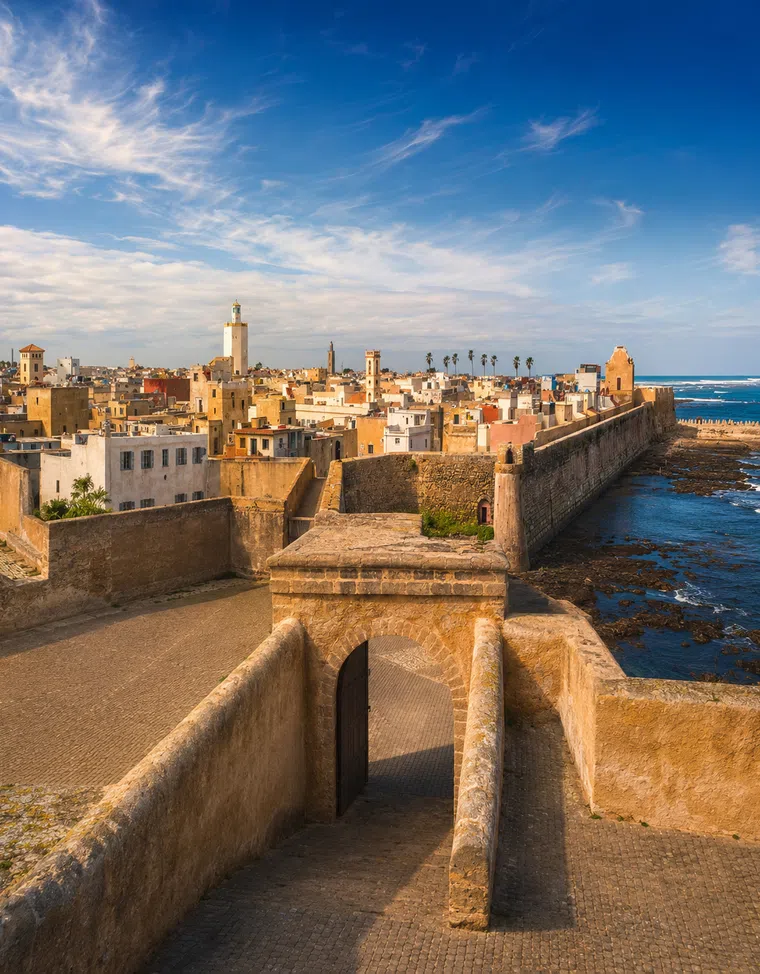
Enclosure and connection belong to the same urban story.
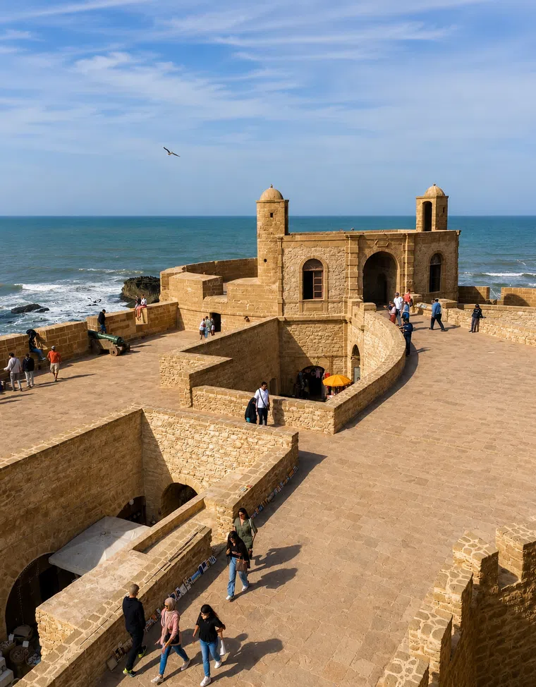
Street form can express a deliberate maritime project.
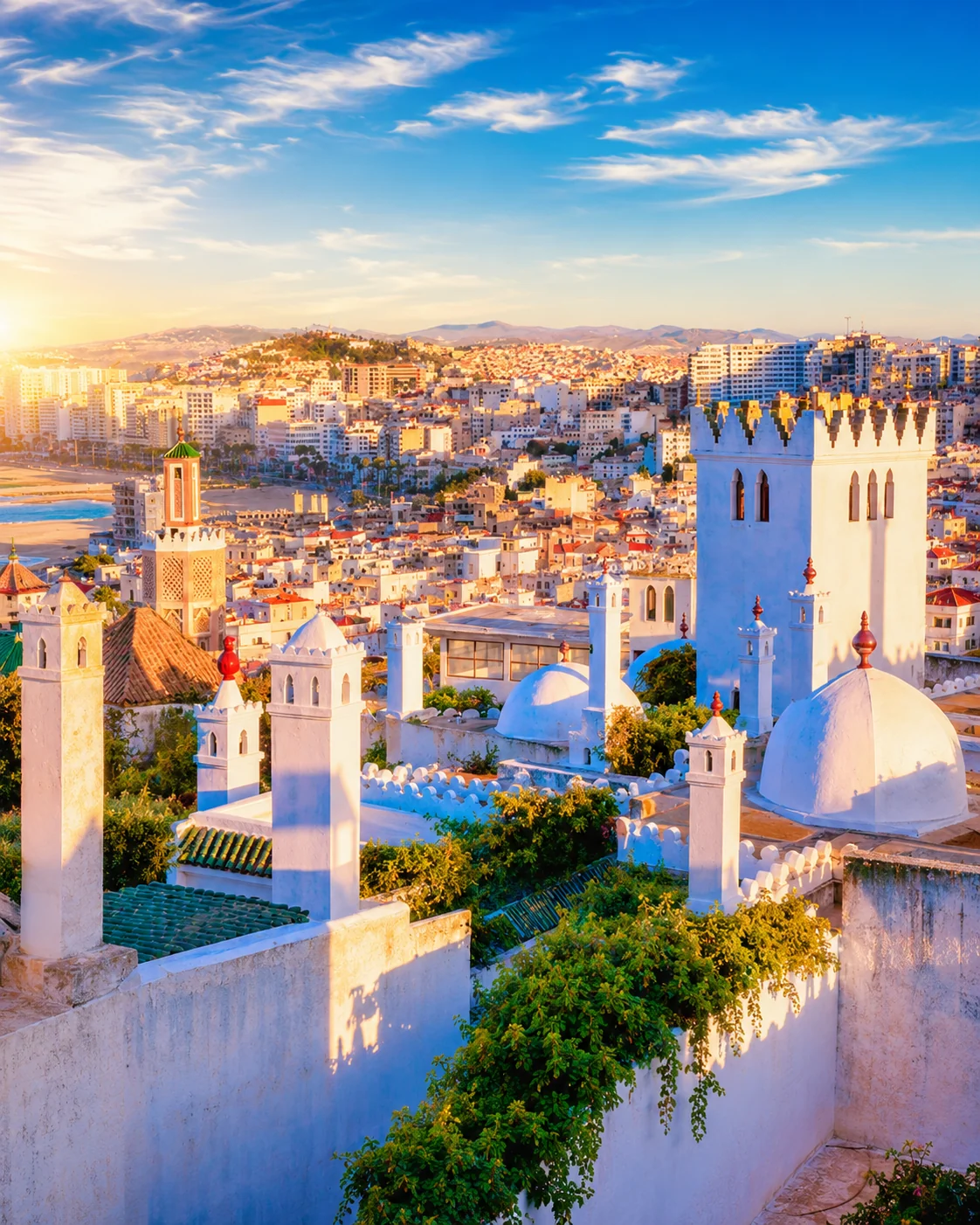
The Strait is a setting, while the city's histories need specific evidence.
At each stop, begin with the maritime edge and then trace a public route into the town. What kind of boundary do you cross? Where does the street widen, turn or gather activity? Compare those observations with reliable historical interpretation. The four portraits are a conceptual sequence across the coast; current routes, travel times and access must be planned separately if you want to connect them in person.
Larache & Lixus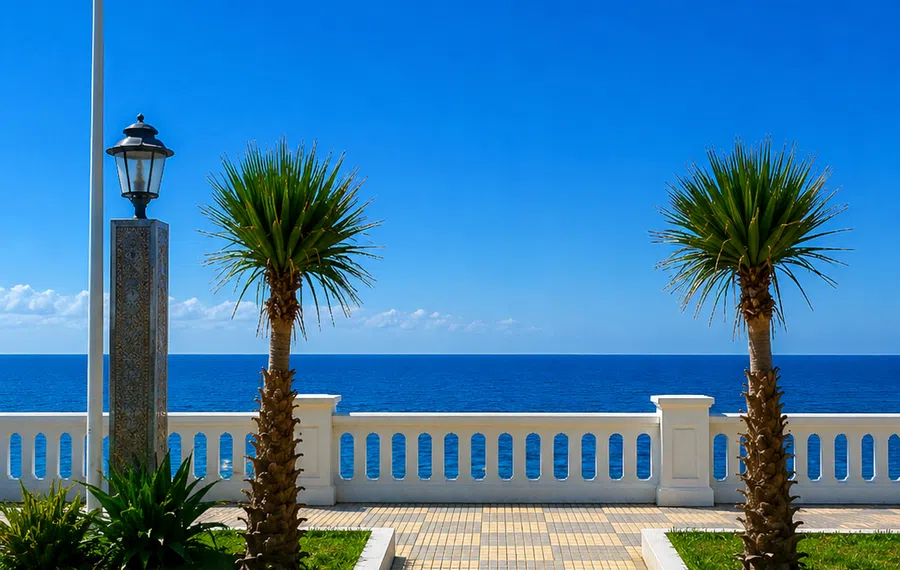 Larache & Lixus
 El Jadida / Mazagan
 Essaouira / Mogador
 Tangier
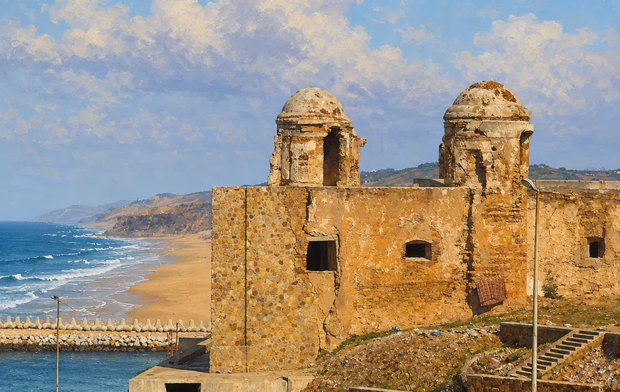 Larache & Lixus
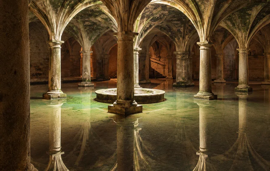 El Jadida / Mazagan
Look for the relationships that make each place distinct.
Movement produces places to store, sell, meet, repair and live. Look for those relationships without assuming that every old building had a maritime function. A documented warehouse or market tells more than a picturesque façade assigned an invented trading story.
A wall can protect a port while a gate concentrates access. The fortified edge is therefore part of the exchange system, not simply its opposite. Ask what a structure faced, what it enclosed and how routes passed through it in the period being described.
A pleasant present-day journey does not represent every historical movement through a port. Commerce, migration, conquest and coerced movement are different subjects. Use precise language and credible sources rather than presenting all maritime contact as uncomplicated cultural harmony.
Historic quays, current fishing areas, passenger facilities and large modern port infrastructure are not interchangeable. Identify which waterfront you are looking at. A heritage view may explain an earlier urban relationship while contemporary trade operates at another scale or location.
Connect estuaries, fortifications, trade and urban memory through Larache, El Jadida, Essaouira and Tangier.
An estuary, more than one historical site
A fortified edge with a later life
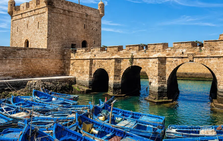
A port conceived through planning
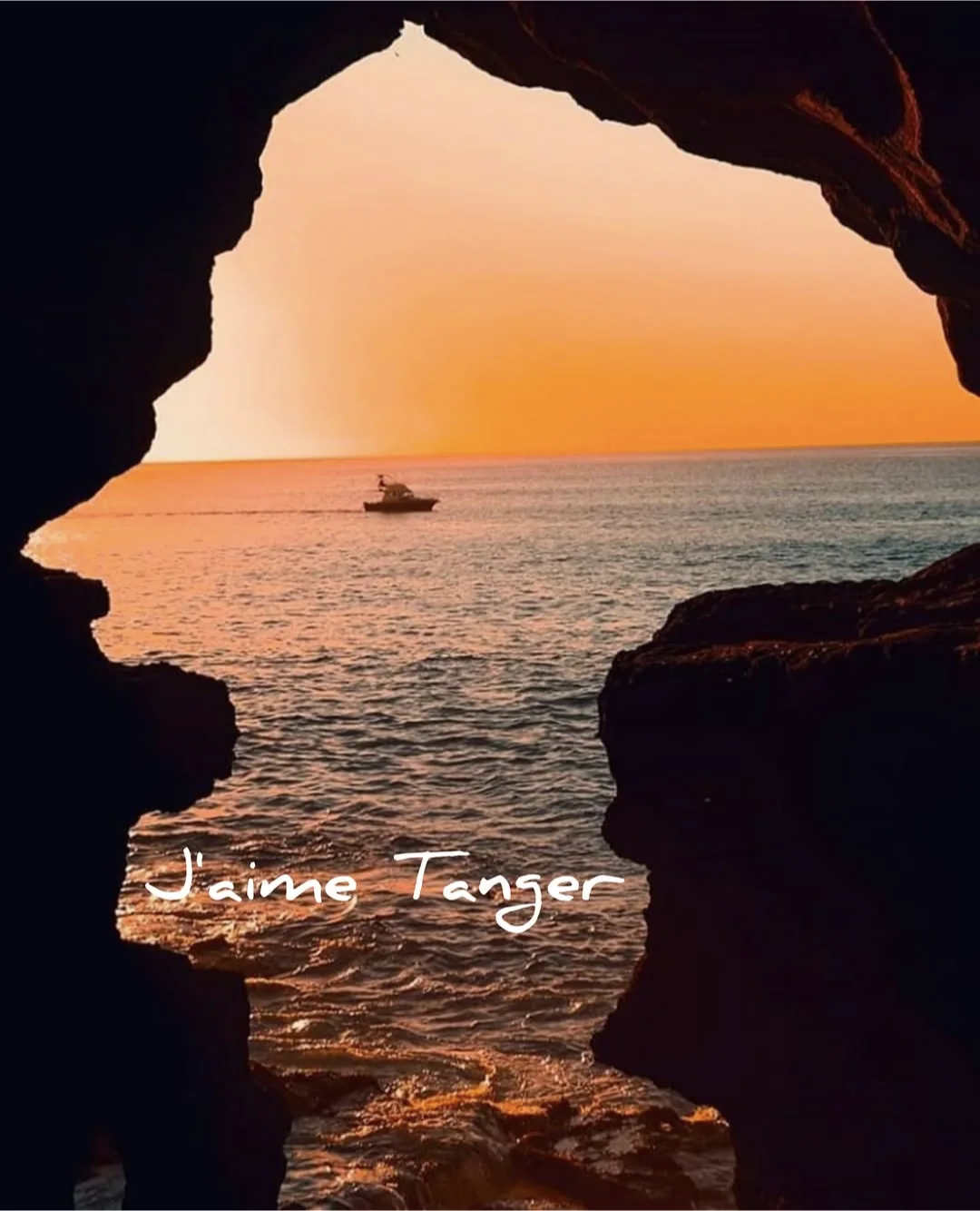
A city facing a crossing
These elements form a way to read evidence. Their presence and meaning vary by town and historical period.
An estuary, strait and ocean-facing coast offer different physical relationships. Start by naming the setting accurately. A river mouth may link maritime access with inland movement, while a strait viewpoint raises another set of geographic questions.
Find the point where an approach changes: a gate, quay, bridge or street entrance. Observe the transition in width, level or enclosure. Then ask whether its present form and use correspond to the historical account you have read.
Read a wall as part of a larger arrangement. Its orientation, entrances and relation to the surrounding town matter as much as the surface. Similar-looking ramparts can belong to different periods, patrons and military circumstances.
A market shows present exchange, but its goods may travel through networks invisible to a visitor. Ask about a particular item or business when appropriate. Avoid using contemporary activity as automatic proof of an unchanged historical trade route.
Ports are inhabited by people whose lives extend beyond arrival and departure. Schools, homes, worship and ordinary commerce belong to the story too. Let the account include settlement and continuity alongside the more dramatic language of crossings.
A place name, museum display or monument can preserve a maritime association after the activity itself changes. Distinguish the memory of a port function from its current operation. Both are meaningful, but they answer different questions.
Read the river relationship without merging different periods.
Larache's position by the Loukkos estuary invites a geographic reading before a chronological one. Locate the river mouth, harbour and urban edges in relation to each other. The arrangement can help explain why a waterway matters, but it cannot by itself establish what happened in every historical period. Pair observation with an account that identifies the actual site and evidence under discussion.
Lixus introduces archaeology nearby, with a different spatial and interpretive experience from walking through the contemporary town. Give each its own visit and avoid describing them as one continuous surviving city. The comparison is valuable precisely because the evidence differs: an archaeological site, an inhabited urban fabric and a shared wider landscape. A return to the river after both visits may make the geographic relationship clearer while leaving the historical distinctions intact. That is a stronger account than turning a broad idea of ancient trade into a caption for every waterfront view.
Atlantic balconyLoukkos riverLixus memory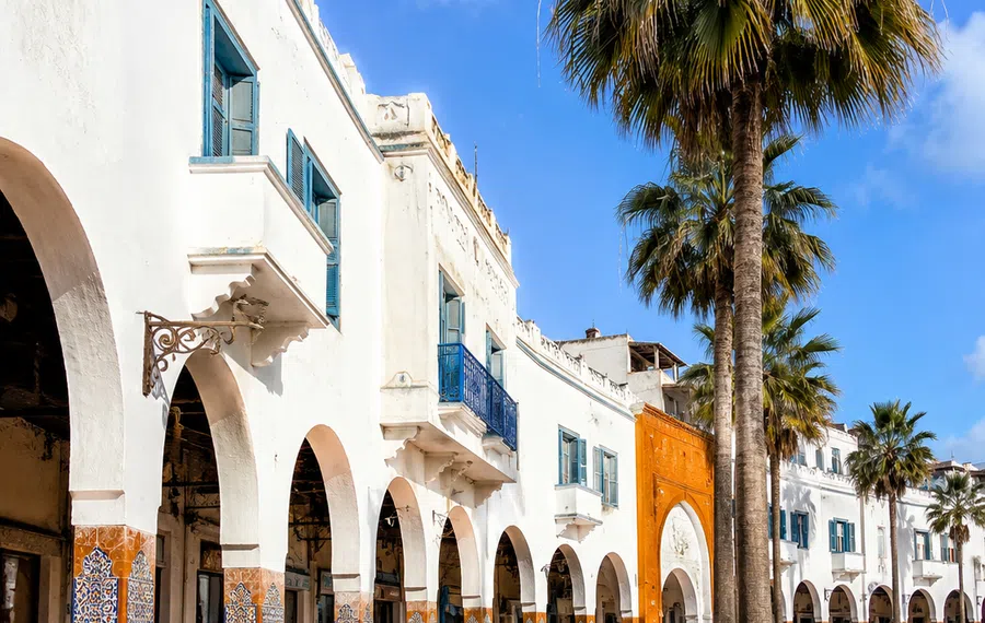 Spanish-Moroccan layers
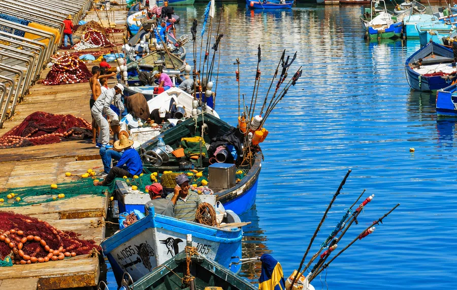 Port edge
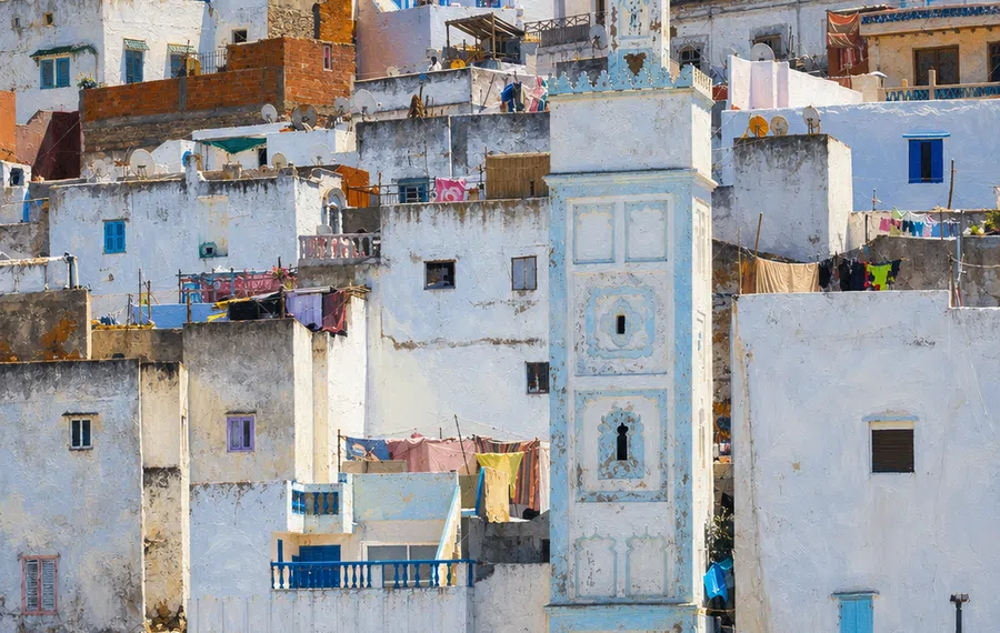 Medina view
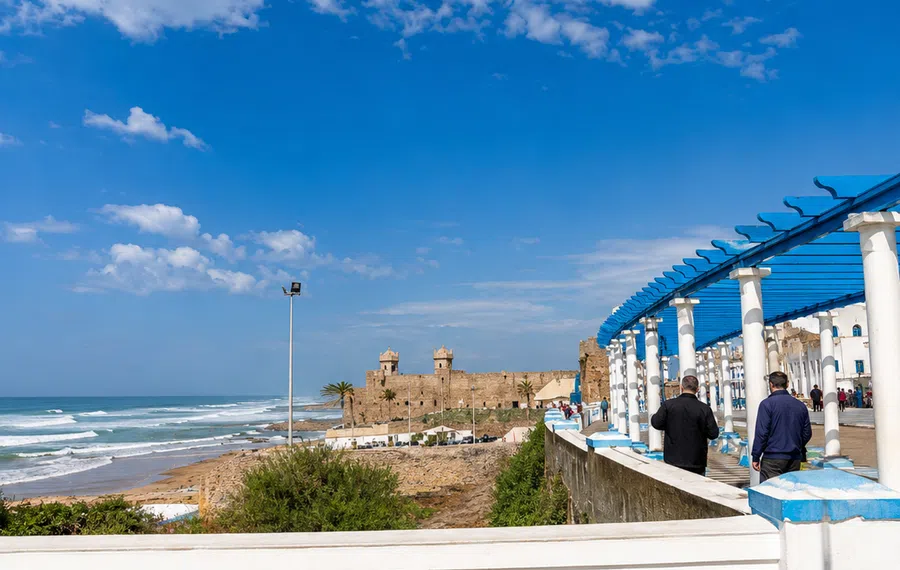 Coastal detailPortuguese CitySea wallsCistern memory
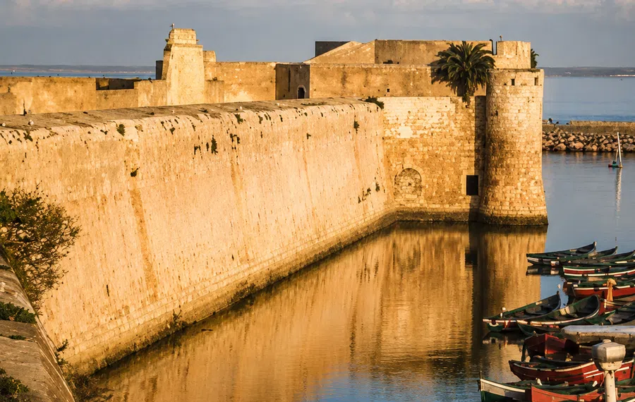 Mazagan ramparts
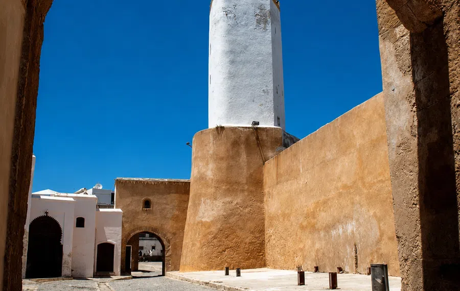 Ocean gate
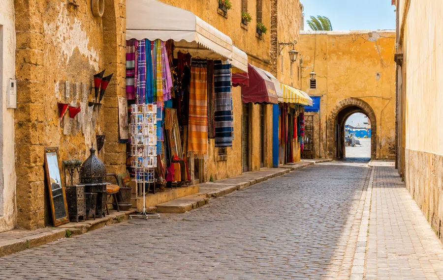 Medina lanes
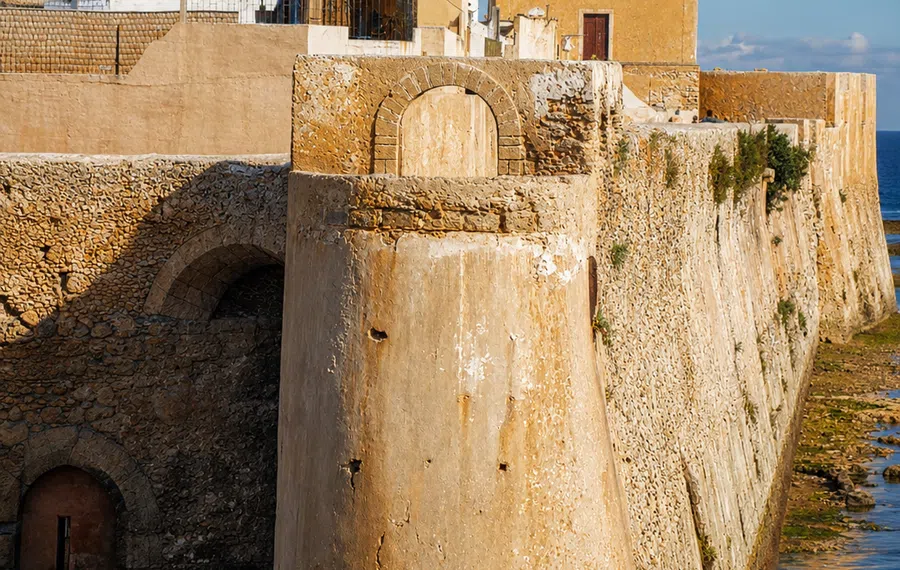 Atlantic stone
Enclosure and connection belong to the same urban story.
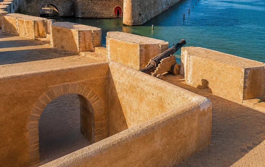
Mazagan offers a concentrated example for thinking about a fortified coastal settlement. Its UNESCO account establishes the Portuguese heritage of the site and its later Moroccan history. On the ground, consider how the enclosure relates to water and approach routes. A gate or bastion gains interpretive value through that arrangement, beyond its appeal as an isolated architectural image.
The present city extends beyond the designated historic area, and the later life of the enclosure matters too. Ask what has changed in use, access and surrounding development rather than treating the heritage zone as a sealed fragment of one century. A walk between the enclosed area and the wider seafront can support that comparison. Keep current monument access separate from the historical argument: even when an interior is unavailable, public urban relationships may remain visible and worth examining with a reliable account in hand.
Street form can express a deliberate maritime project.
Essaouira introduces an eighteenth-century planned port into the comparison. Its principal fortified urban form should not be explained simply as another Portuguese coastal settlement. Look at the relationship between the street pattern, gates and maritime edge, then consider what planning makes visible: routes can be aligned, activities connected and boundaries given a clear form. The historical interpretation needs to remain tied to the particular project rather than a general impression of order.
The inhabited medina and working harbour add later and present-day dimensions. A visitor can compare planned form with actual use without assuming they coincide perfectly. Music, craft, commerce and neighbourhood life place the town within wider cultural relationships, but each subject deserves its own evidence. A port's reputation for openness is not a complete history of everyone who passed through it. Let a museum, documented site or carefully chosen source complicate the familiar image of Mogador rather than merely confirm it.
Mogador rampartsGnaoua rhythmFishing port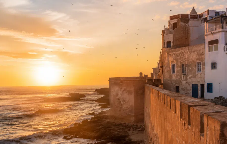 Atlantic wind
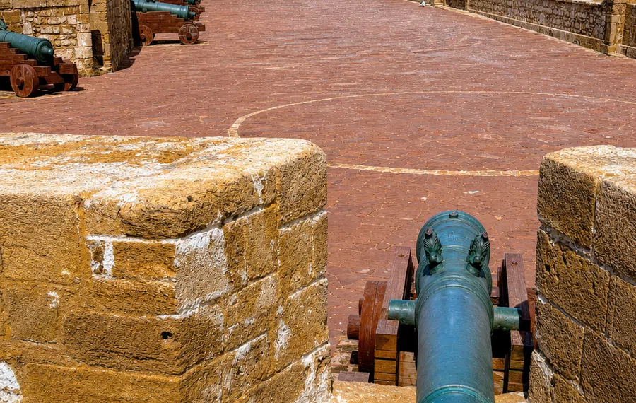 Sqala walls
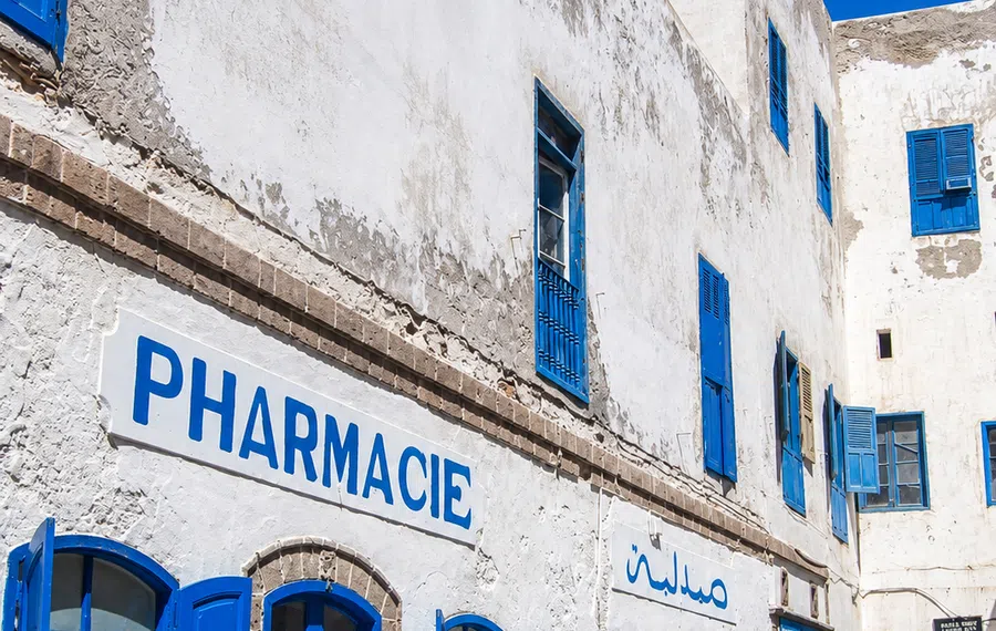 Medina lanes
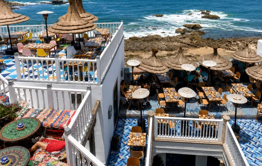 Wind lightTangier rooftopsCap SpartelCaves of Hercules
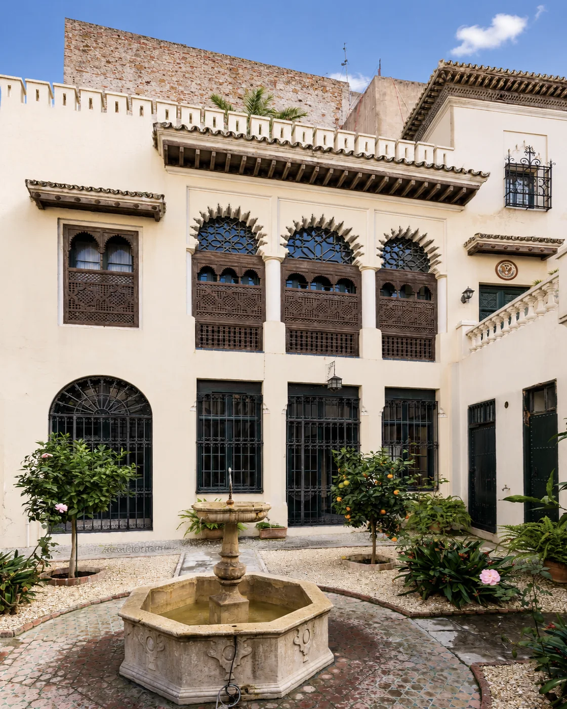 American Legation
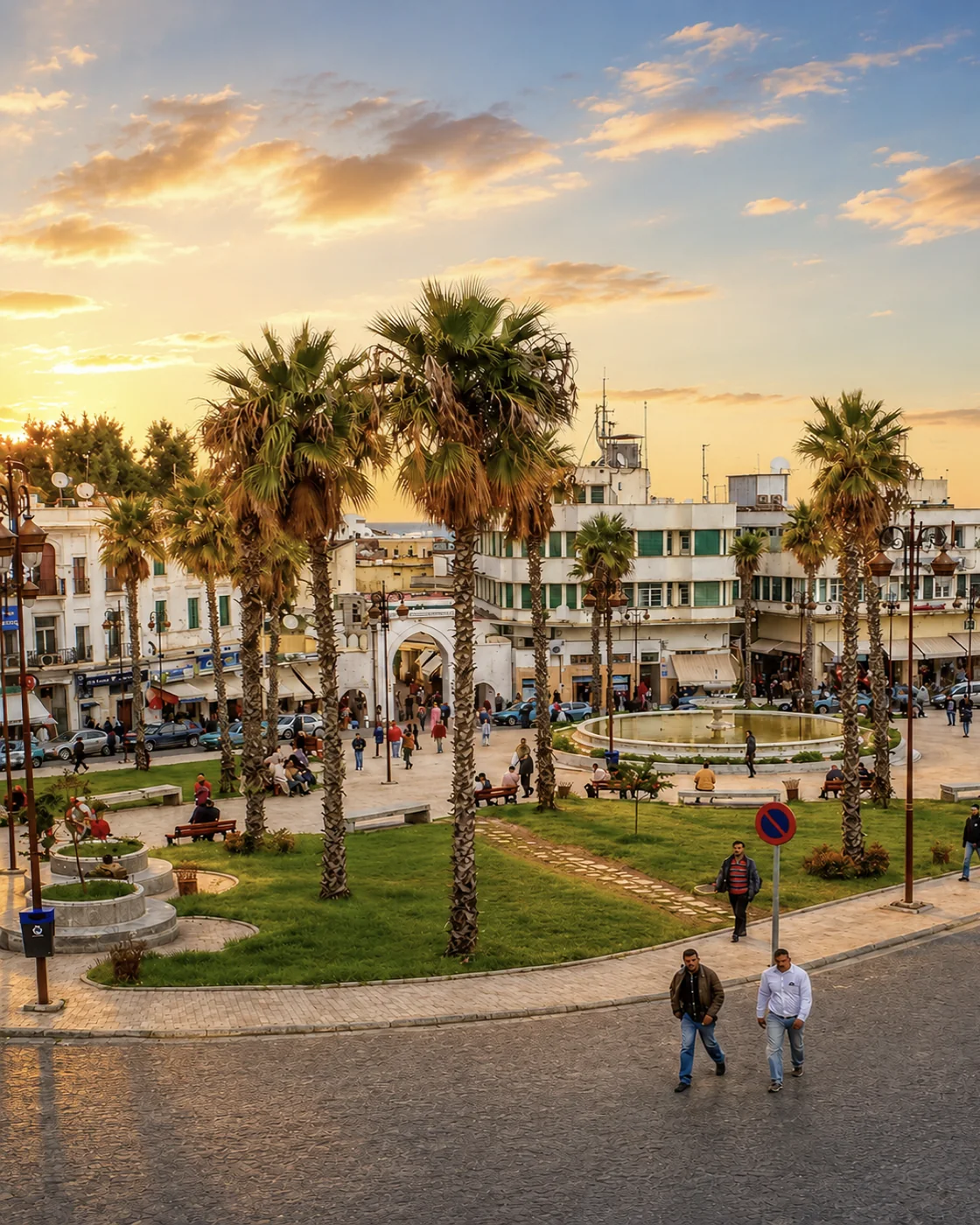 Grand Socco
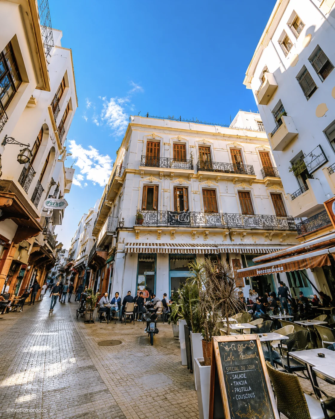 Petit Socco
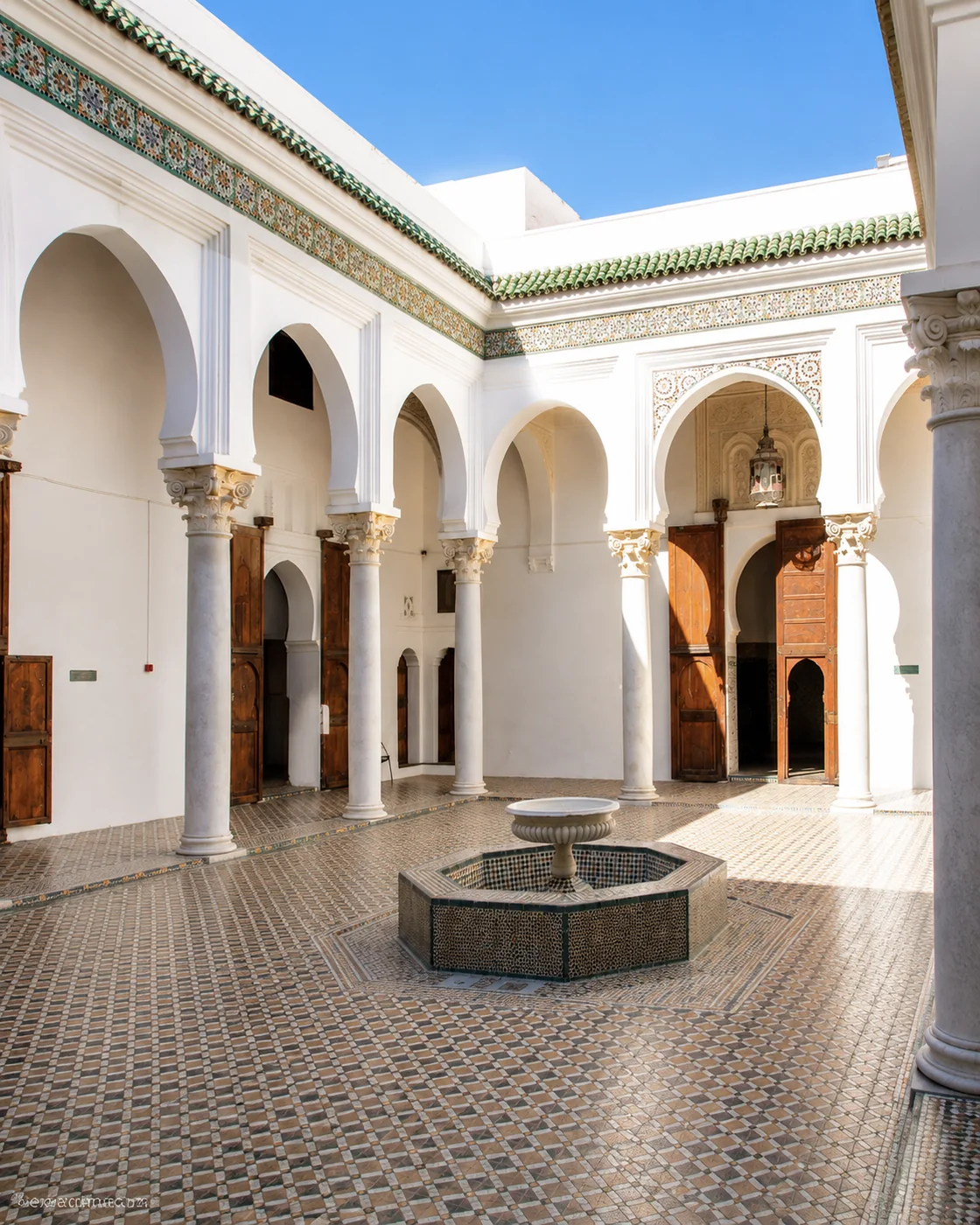 Dar el Makhzen
The Strait is a setting, while the city's histories need specific evidence.
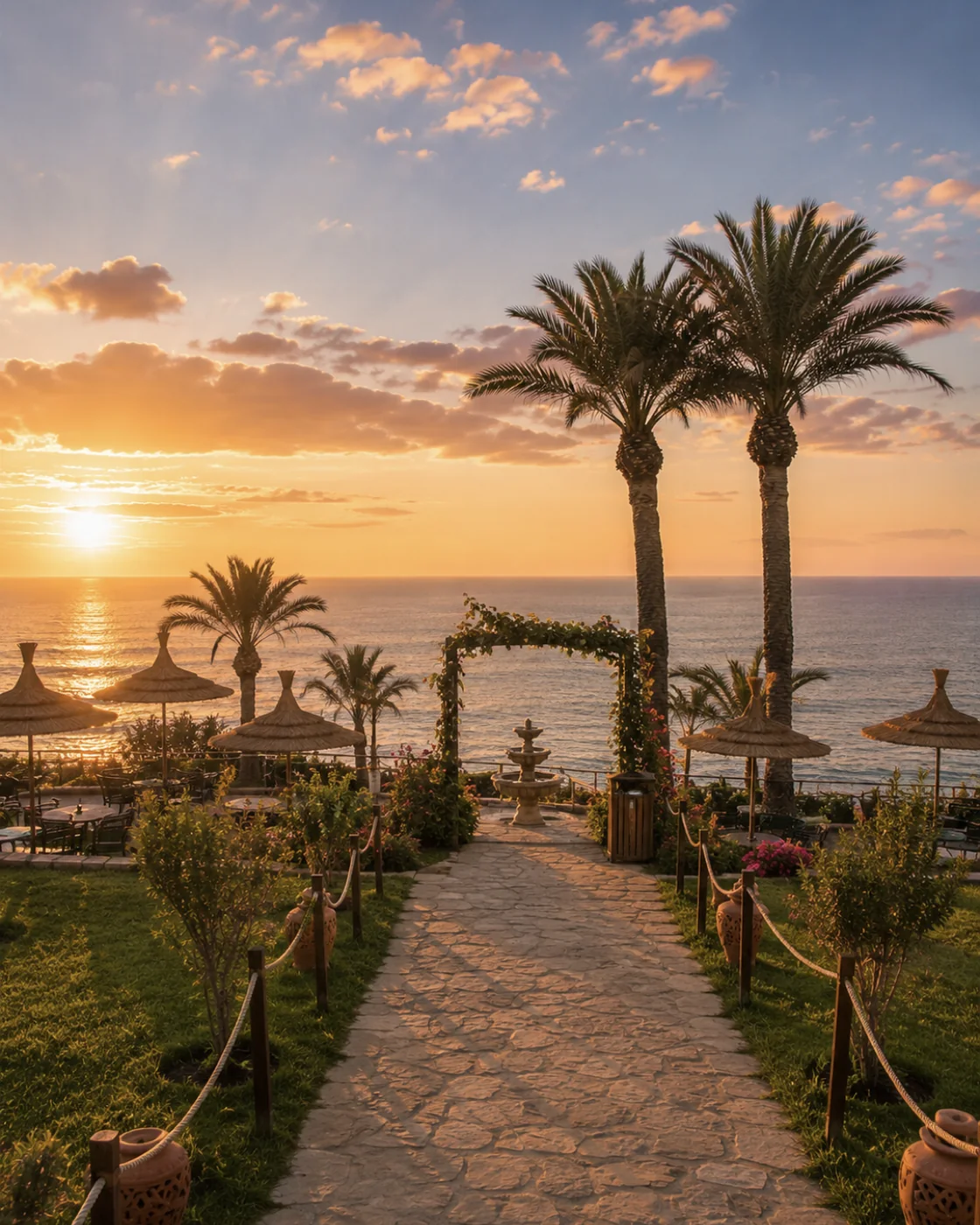
Tangier's position makes the idea of a crossing visually immediate. A distant shoreline or a maritime horizon can suggest proximity, but geography alone does not explain a city's political, diplomatic or social history. Choose a named institution, neighbourhood or documented site to develop one of those subjects. This keeps the account grounded rather than relying on a broad atmosphere of international intrigue.
Walk from a suitable viewpoint into the urban fabric and notice how the scale changes. Homes, shops and public spaces reveal a settled city alongside the language of departure and arrival. Contemporary passenger movement, historic maritime associations and large modern logistics operations should also be distinguished; they do not necessarily occupy the same place or operate at the same scale. Tangier becomes a more useful conclusion to this layer when it opens questions about connections while remaining a particular city with its own everyday life.
Larache & Lixus · Spanish-Moroccan layersEl Jadida / Mazagan · Mazagan rampartsEssaouira / Mogador · Atlantic windTangier · American LegationLarache & Lixus · Port edgeEl Jadida / Mazagan · Ocean gateEssaouira / Mogador · Sqala wallsTangier · Grand SoccoLarache & Lixus · Medina viewEl Jadida / Mazagan · Medina lanesEssaouira / Mogador · Medina lanesTangier · Petit SoccoThe most useful question about a port gate may be what it connected. Compare the route outside, the opening itself and the space immediately within. Then consider the wall as part of that sequence. This reading can link defence with commerce and civic life without assuming that one explanation fits every period. Where an original route has changed, the difference between historic arrangement and present movement becomes part of the story.
River, archaeology, urban present
Enclosure, approach, wider city
Street pattern, gates, harbour
Viewpoints, institutions, neighbourhoods
The schematic brings four settings into conversation and is not a scale map or a timetable. A practical visit can concentrate on one coastal segment and still explore the central questions of movement, control and settlement. Use Sea Air & Ports for the travel mood, and the Atlantic and Northern regional pages to choose nearby places that deepen the comparison.
Larache & LixusEstuary and distinct sitesEl Jadida / MazaganFortification and reuseEssaouira / MogadorPlanning and maritime exchangeTangierStrait and inhabited cityA few considered choices make the connections between these places more useful.
Trade, migration, pilgrimage, diplomacy and forced displacement are not synonyms. When a source discusses one, preserve that distinction in your notes and captions. Avoid giving a cheerful general account of exchange where the specific history includes conflict or coercion; seek a source that addresses the subject directly.
An archaeological remains account may establish a period or function that cannot be read from a modern street. Conversely, observing a working town reveals present use that an ancient history does not describe. Let the two kinds of evidence complement each other without asking either to prove more than it can.
After reading a maritime history, spend time in an ordinary public area away from the best-known waterfront image. The continuity of housing, work and neighbourhood life prevents the city from becoming merely a stage for other people's journeys. It also supplies better questions for a return visit.
Historical and geographical references reviewed in September 2026. Route pairings and looking suggestions are Exotic Morocco editorial guidance. Check current access and transport arrangements before travelling. Existing regional library imagery is retained; photographs and illustrations do not establish present-day access or conditions.
Open the individual place guides for local context and a more detailed visit. Return to Regions to compare other landscapes and cultural connections.
Read the river relationship without merging different periods.
Enclosure and connection belong to the same urban story.
Street form can express a deliberate maritime project.
The Strait is a setting, while the city's histories need specific evidence.