Why Lixus matters
An ancient city before it is a view.
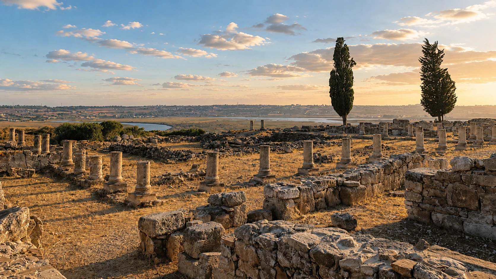
Lixus matters because it makes the Atlantic edge of northern Morocco historically legible. The site rises above the Loukkos River near Larache, so the visitor sees archaeology and geography together: ruins on high ground, river below, ocean beyond and the modern city completing the frame.
Morocco's Ministry of Youth, Culture and Communication places Lixus on the right bank of the Loukkos River, about four kilometres from its mouth, and describes an ancient city founded in the first third of the 8th century BC on the hill known as Techemc. That position is not incidental. The high ground, estuary and coast explain why the site still feels so strongly placed.
The same official source identifies Phoenician, Punic, Mauritanian, Roman and Islamic phases at Lixus, and notes prosperity in Roman times linked to salt-making and urban growth. These details help visitors avoid treating the ruins as anonymous stones. Lixus is a layered settlement landscape, not a decorative backdrop.
UNESCO's Tentative List entry for Ville de Lixus, submitted by Morocco in 1995, describes Lixus as one of the earliest cities of the western Mediterranean and places it at the mouth of Oued Lukkos facing modern Larache. The distinction is important: Lixus is on the Tentative List, not the inscribed World Heritage List.
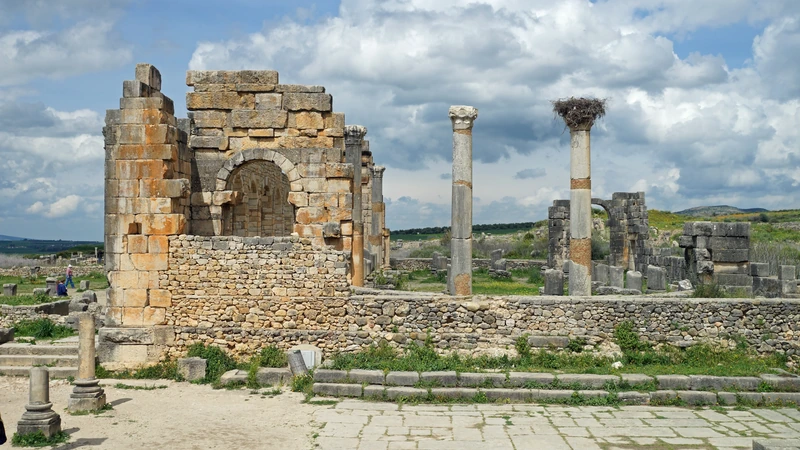
For visitors, the site offers a clean lesson in looking carefully. Columns, stone lines and open ground gain meaning when the Loukkos remains visible. The richer experience comes from connecting material remains, river landscape, ancient occupation and the living city of Larache below.
Core heritage facts are grounded in the Moroccan Ministry of Youth, Culture and Communication page for Lixus and the UNESCO World Heritage Centre Tentative List entry for Ville de Lixus. Practical details should be checked close to travel.