Tangier
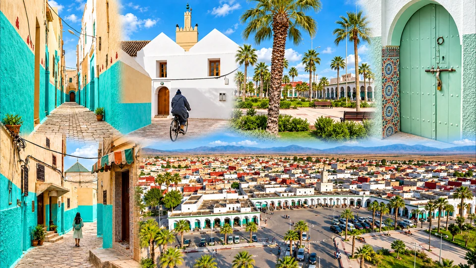
Kasbah streets, Strait horizons and Atlantic port memory.

Twelve capitals. Many ways into Morocco.
From the Strait and Rif to imperial cities, Atlantic ports, Atlas country, oasis valleys and Saharan horizons: discover the twelve official regions through their capitals, distinct landscapes and existing city guides.
Morocco’s twelve administrative regions give each city a precise regional home. This page brings their capitals, geography and cultural character together, then opens the existing Exotic Morocco city guides inside each region.
The official regions and our editorial journeys answer different questions. Fès-Meknès is an administrative region; Imperial Morocco is a cultural route that also includes Rabat and Marrakech. Our Atlantic, Atlas, northern and oasis journeys can cross official boundaries. Use this page for orientation and the editorial hubs for connections between places.
Two seas, the Strait and the Rif give the north several different horizons.
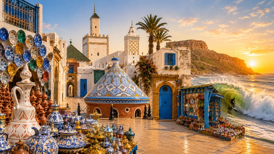
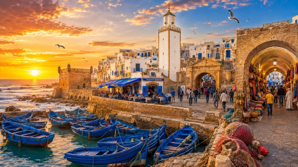
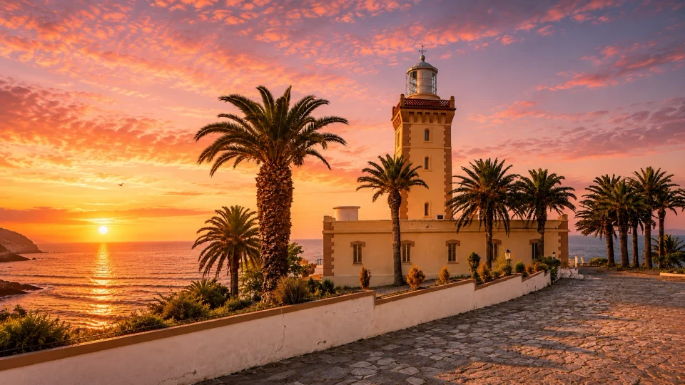
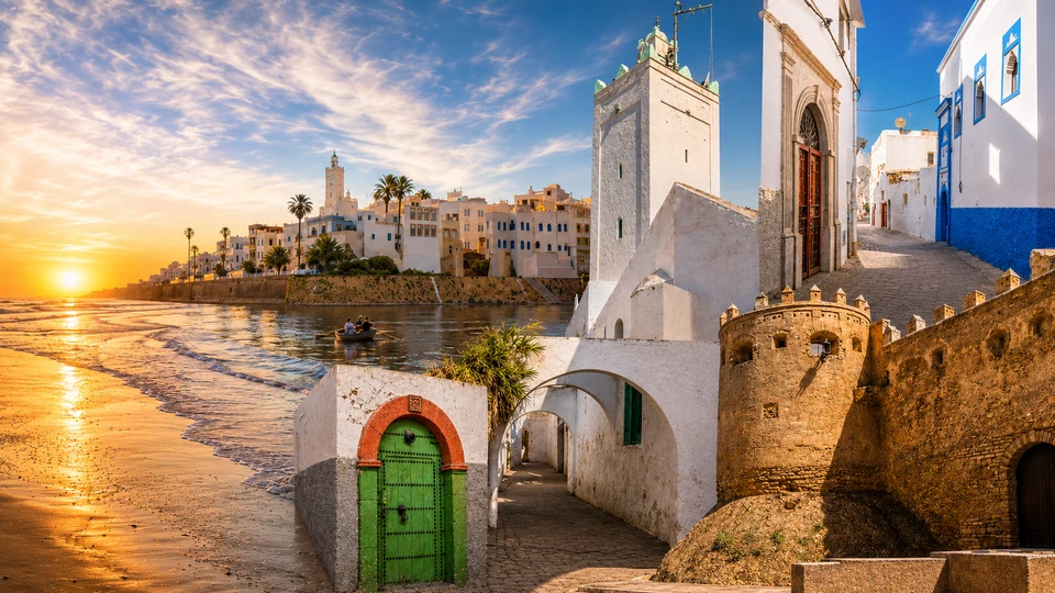
With Tangier as its capital, Tanger-Tétouan-Al Hoceïma joins an Atlantic coastline to the Mediterranean and the mountain country behind it. Tangier faces the Strait through its kasbah, port memory and cosmopolitan streets. Tétouan brings a white medina and an Andalusian architectural inheritance, while Chefchaouen sits within the Rif rather than on the sea. Farther east, Al Hoceïma gives the regional story a distinctly Mediterranean scale of bays, cliffs and coastal neighbourhoods.
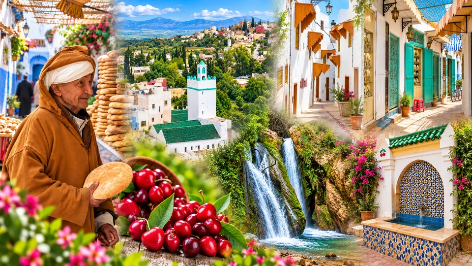
The region rewards changes of viewpoint. Compare Asilah’s painted medina with Larache’s river and archaeological setting, then turn inland toward Ouazzane’s spiritual and craft traditions. Martil, M’diq, Fnideq and the smaller coastal localities offer different relationships between town and shore. A blue lane, a white hillside and a busy waterfront belong to particular places; the north becomes richer when those identities remain distinct. Choose a city guide below to move from the regional panorama into named streets, monuments and landscapes.
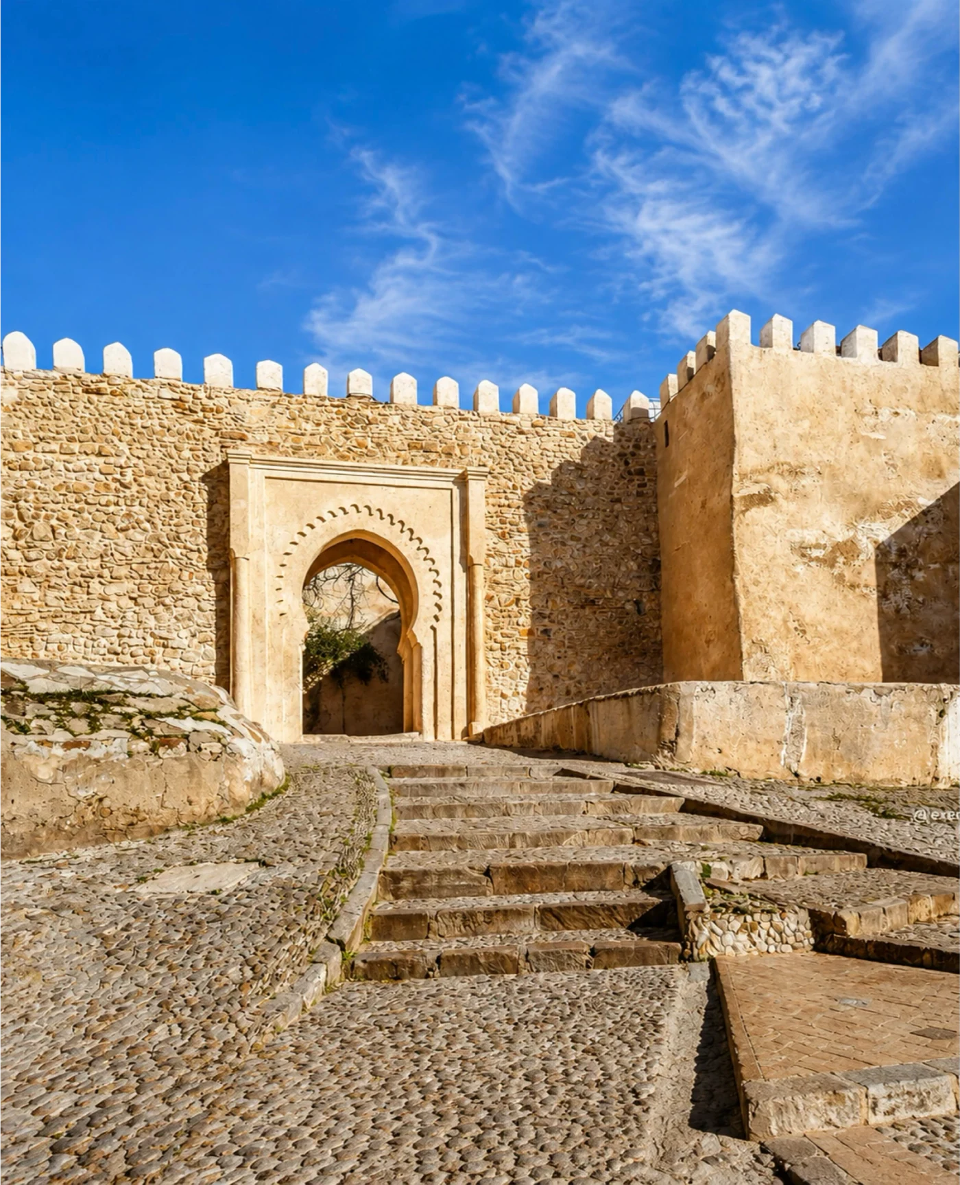 Tangier Kasbah
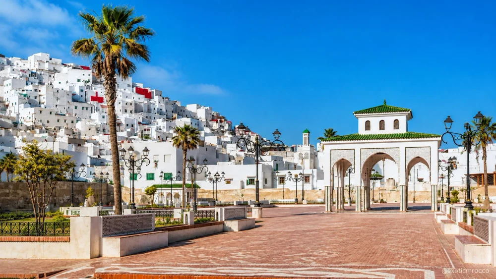 Tétouan · white hillside city
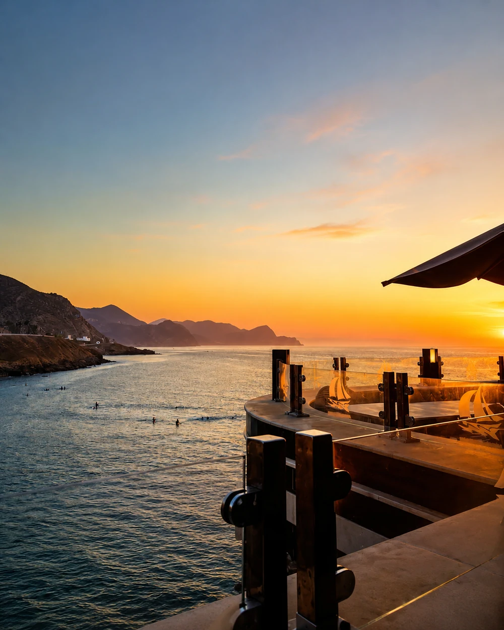 Al Hoceïma · Rif coast
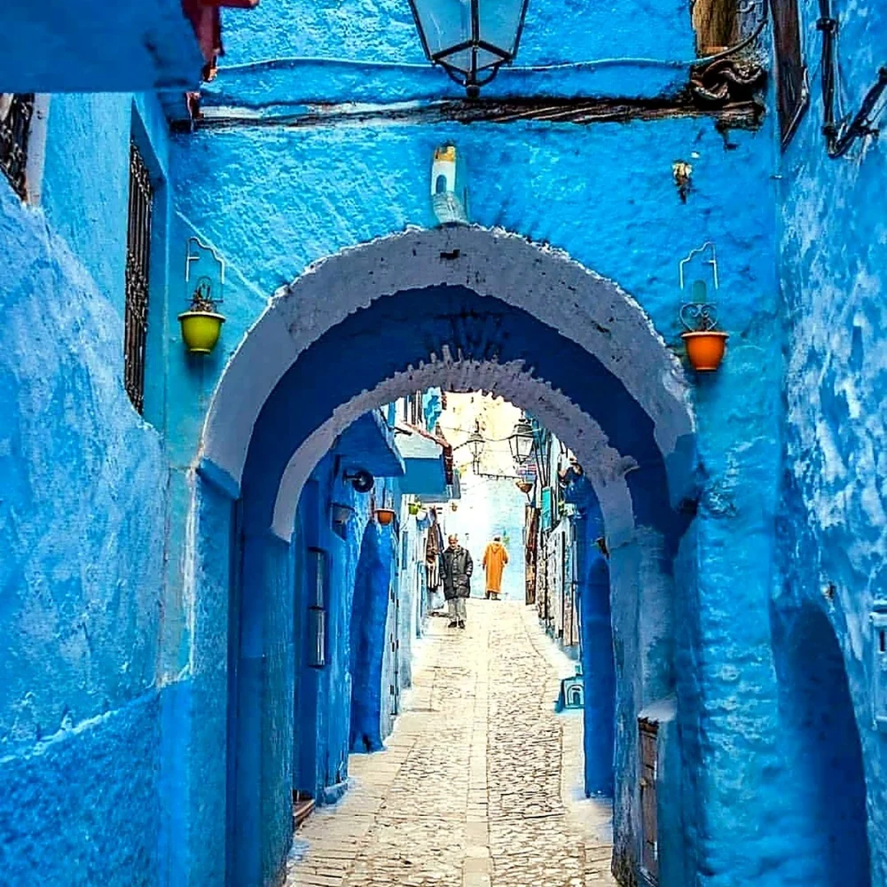 Chefchaouen · blue lanes
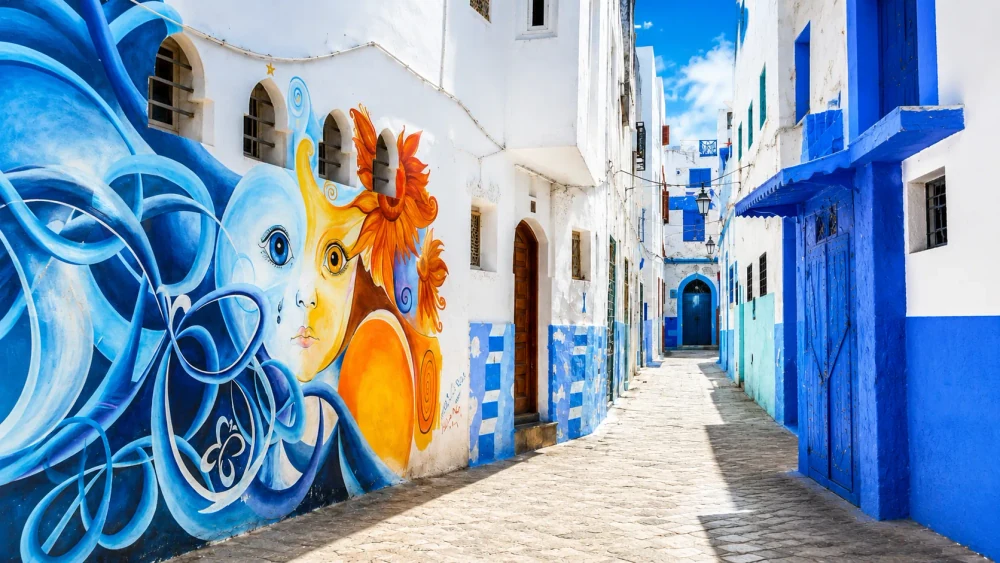 Asilah · medina murals
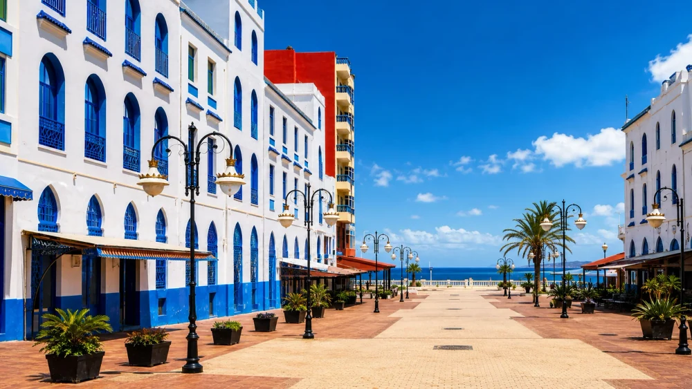 Larache · Atlantic promenade
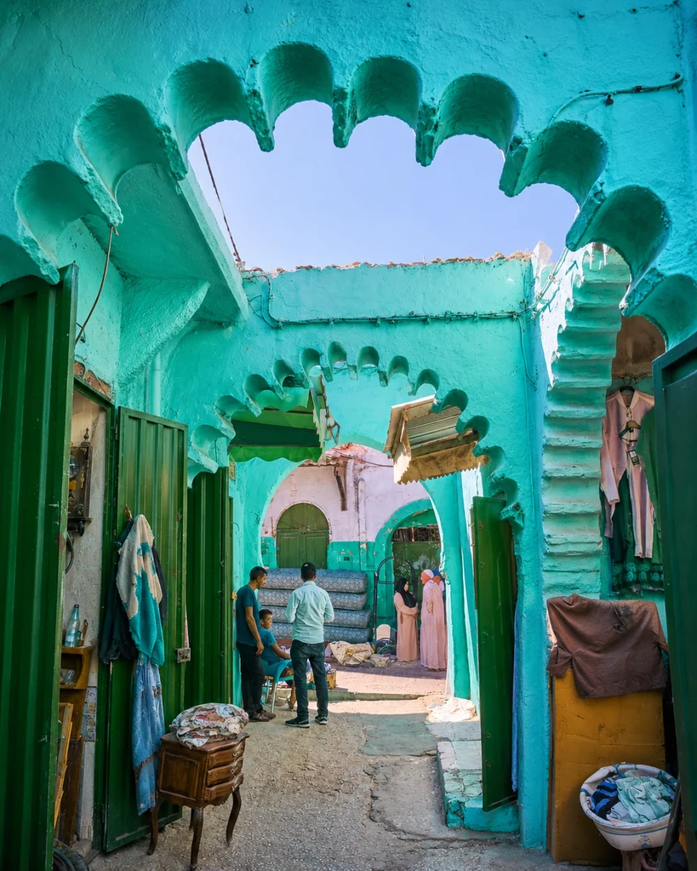 Ouazzane · medina life
Kasbah streets, Strait horizons and Atlantic port memory.
White medina, Andalusian inheritance and northern city life.
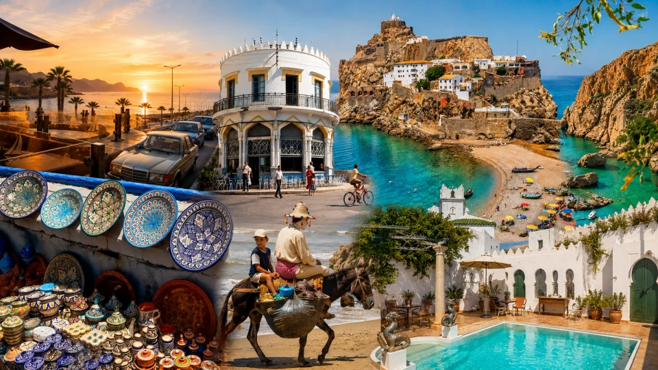
Mediterranean bays, Rif cliffs and coastal neighbourhoods.
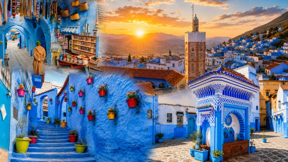
Blue lanes, kasbah detail and the Rif setting.
Medina murals, white walls and Atlantic ramparts.
Riverfront city, old port and nearby Lixus.
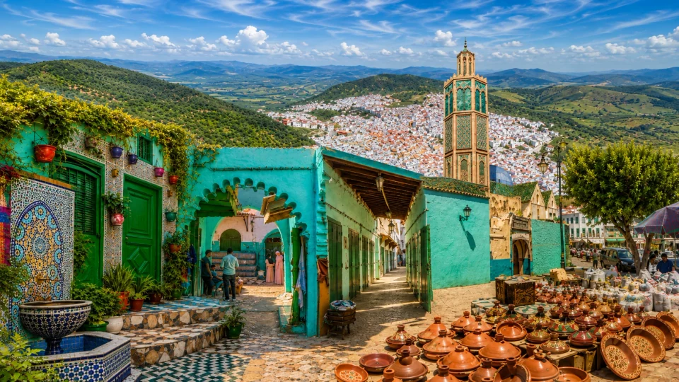
Spiritual memory, turquoise passages and working crafts.
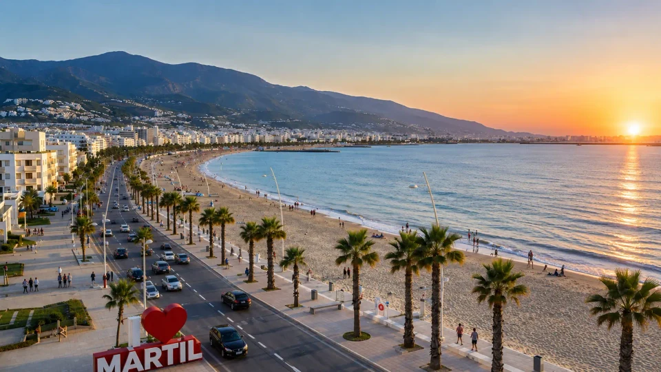
Mediterranean beach and town life near Tétouan.
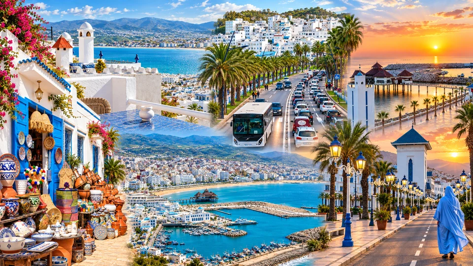
Bay, marina and the rhythm of a coastal town.
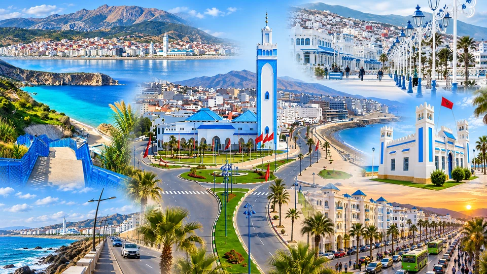
Corniche, seafront neighbourhoods and the northern coast.
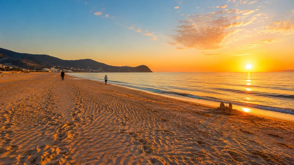
Beach, low coastal hills and the Martil setting.
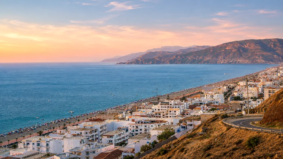
Mediterranean shore where Rif slopes meet the sea.
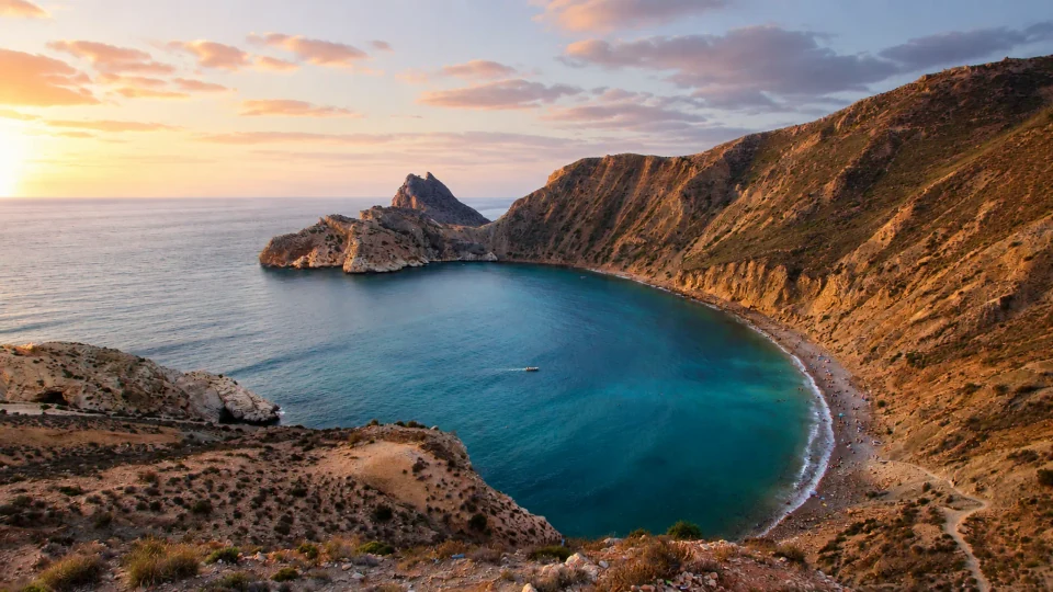
A compact harbour between water and Rif mountains.
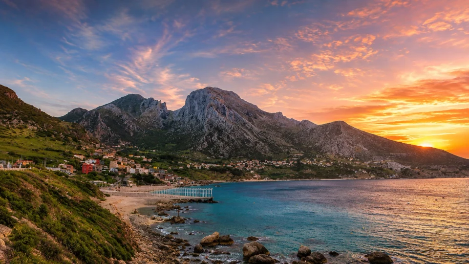
Strait village and the mountain rising above its bay.
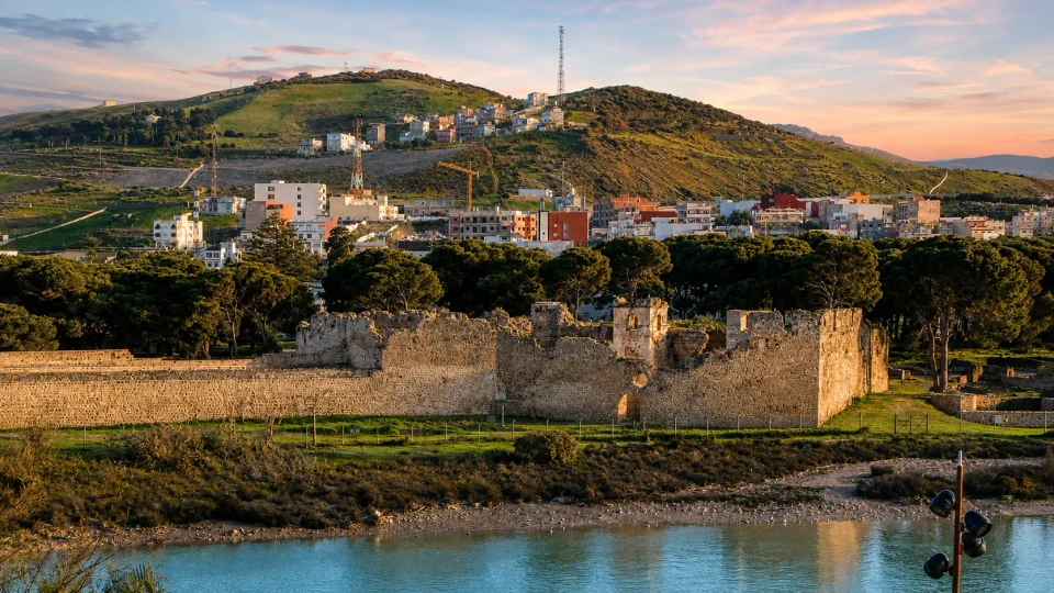
Fortress walls and the memory of a Strait crossing.
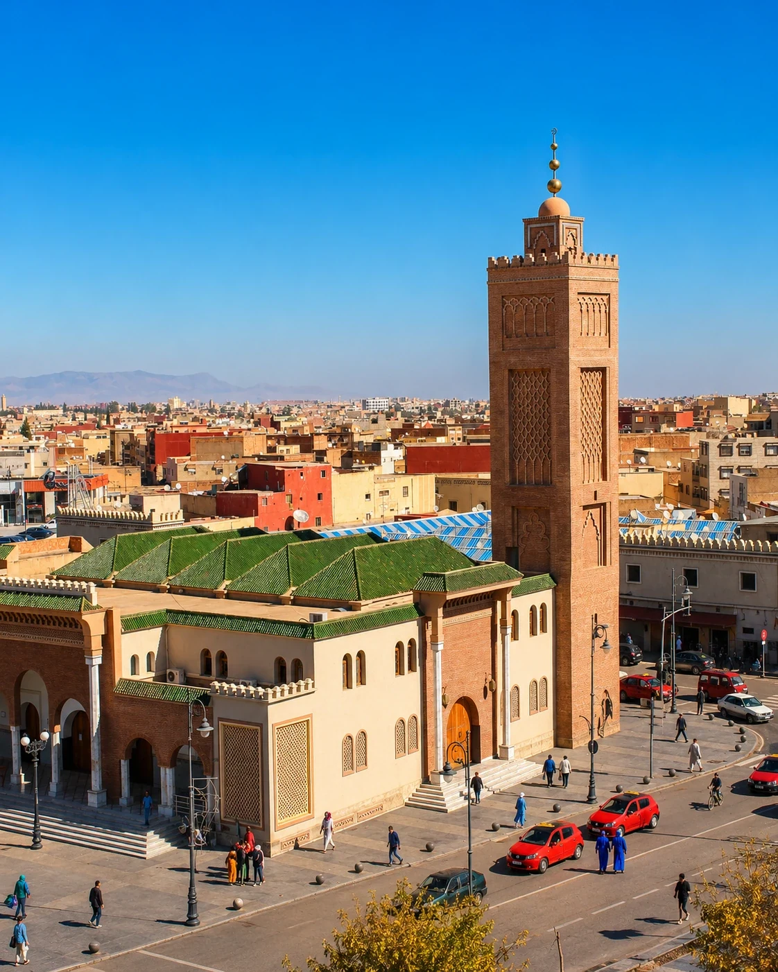 Oujda · eastern gateway
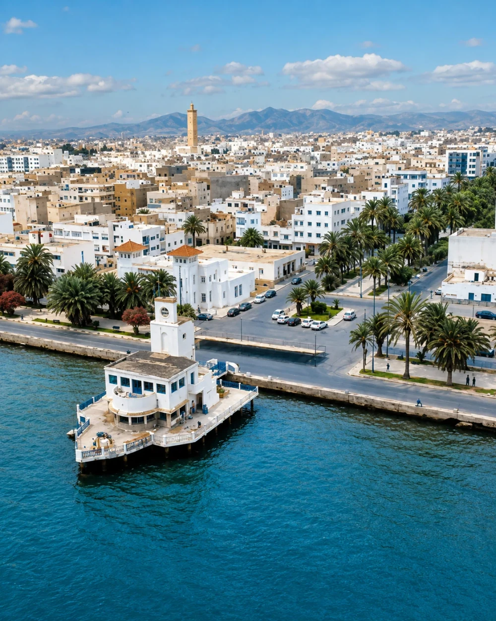 Nador · Marchica waterfront
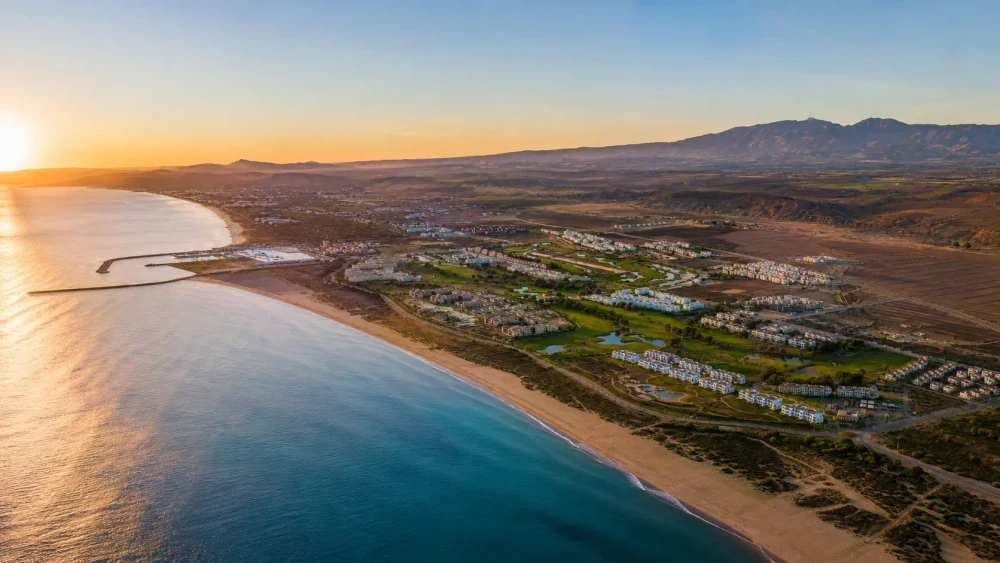 Saïdia · Mediterranean beach
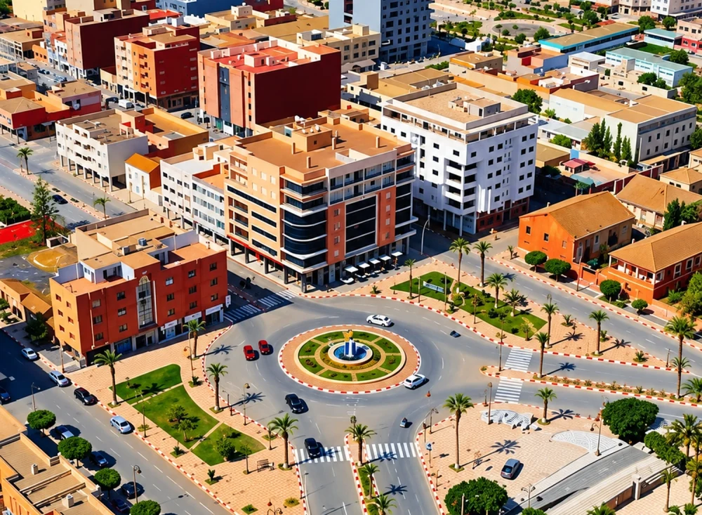 Berkane · city life
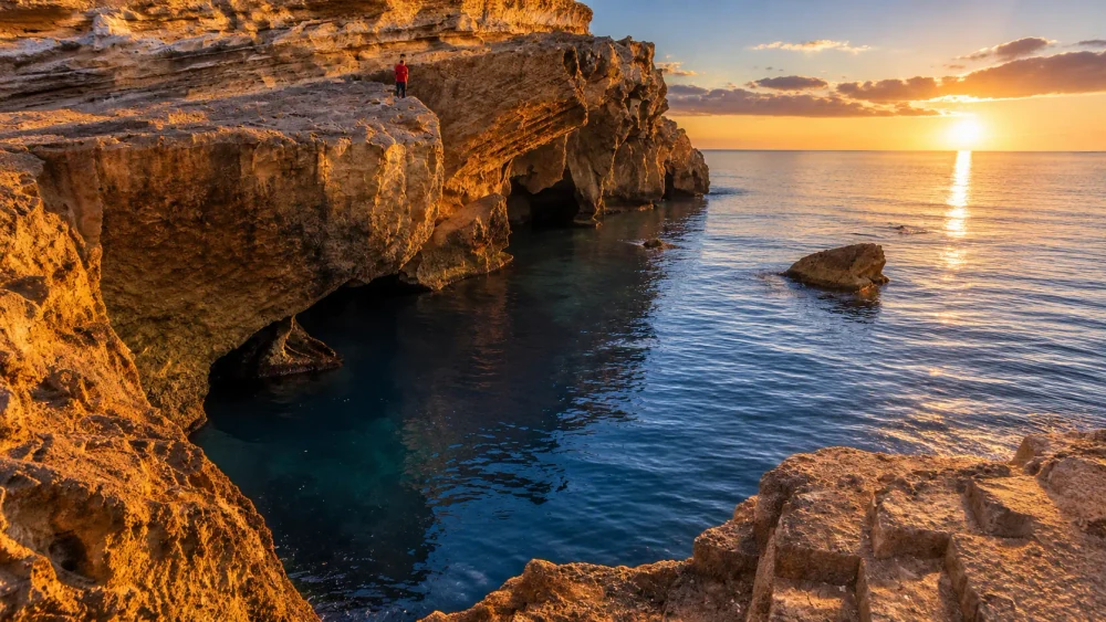 Ras El Ma · coastal light
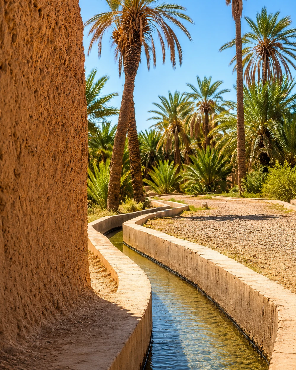 Figuig · oasis gardens
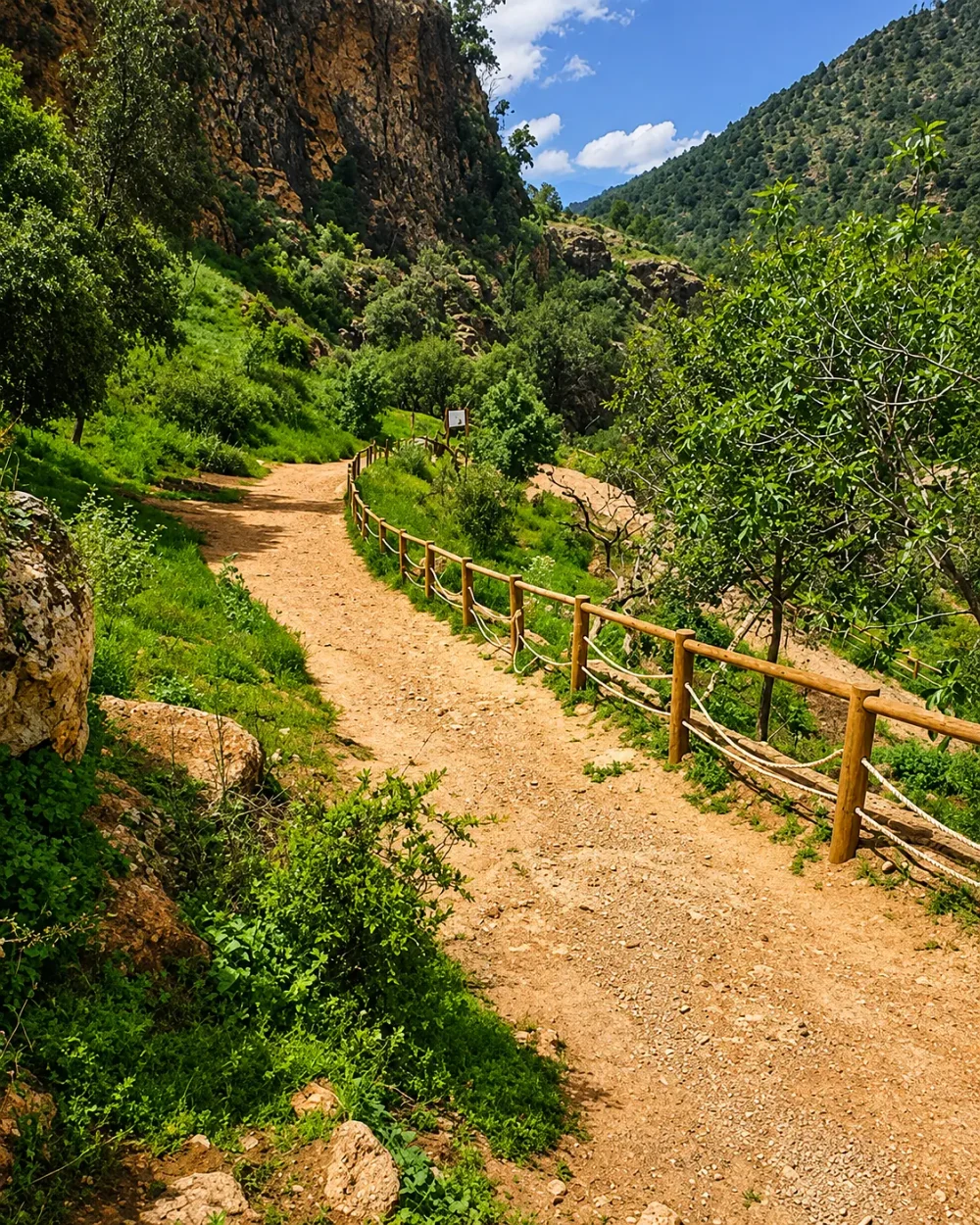 Tafoughalt · Beni Snassen
Mediterranean water, eastern city life and deep inland oasis country share one region.
Oujda is the capital of Oriental, a region whose northern Mediterranean shore contrasts strongly with its inland plateaux and oasis landscapes. The city’s medina, gateways and commercial streets provide an urban starting point. Nador looks toward Marchica Lagoon; Saïdia and Ras El Ma bring beach and coastal horizons. Around Berkane, citrus cultivation and the Beni Snassen foothills introduce a greener eastern landscape, with Tafoughalt and Zegzel opening a mountain and limestone chapter.
Figuig belongs to the same administrative region, but its palm gardens, earthen settlements and irrigation traditions ask for a different reading from the northern coast. Follow water as a thread without assuming the places are close together: lagoon, sea, cultivated valley and oasis support different forms of daily life. In Oujda, start with the public space around a gate; in Figuig, look at the relationship between palms, paths and settlement. The existing city guides keep this large region legible through individual places.
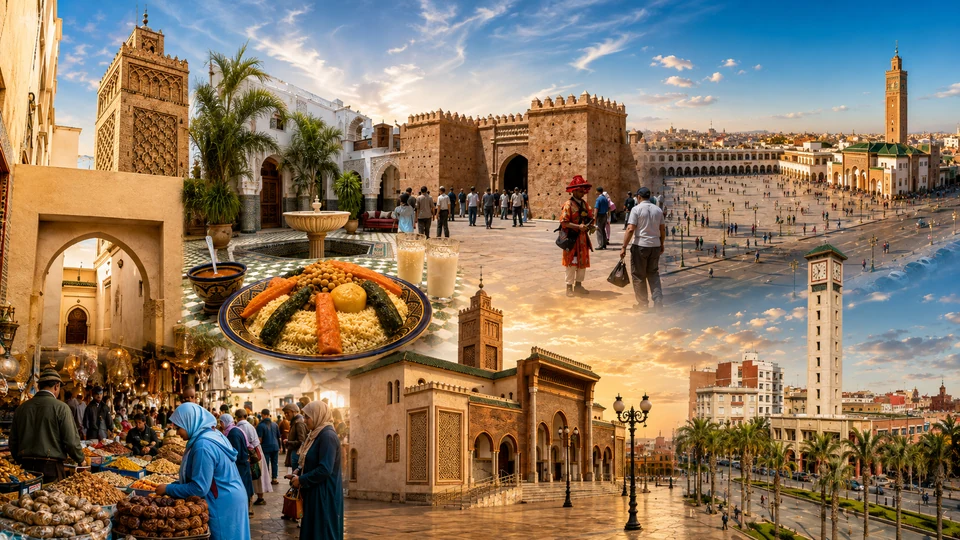
Eastern medina, gateways and lively commercial streets.
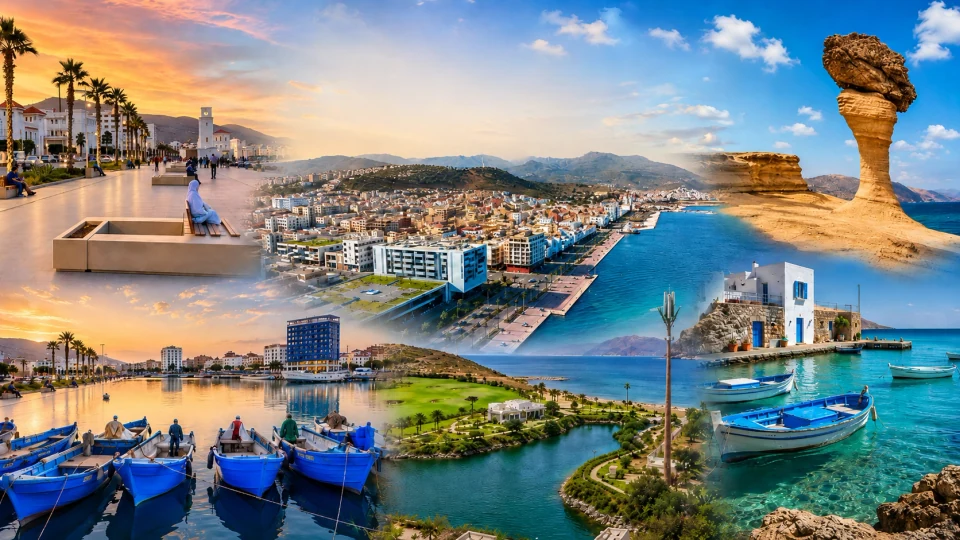
Marchica Lagoon, waterfront avenues and Mediterranean light.
Broad beach and the eastern Mediterranean coast.
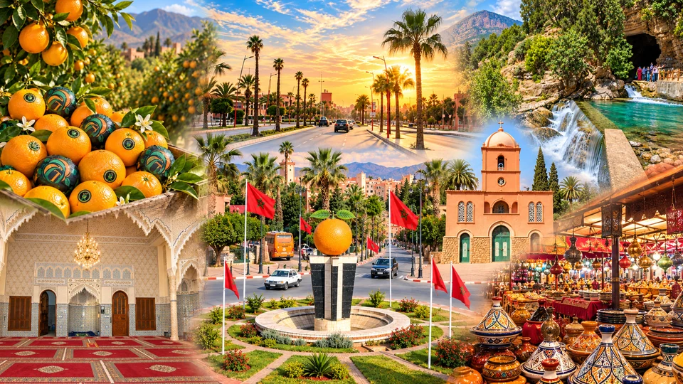
Citrus country, town markets and Beni Snassen foothills.
Coastal rocks, beach and the Nador province shore.
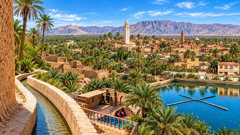
Palm gardens, earthen settlement and oasis water traditions.
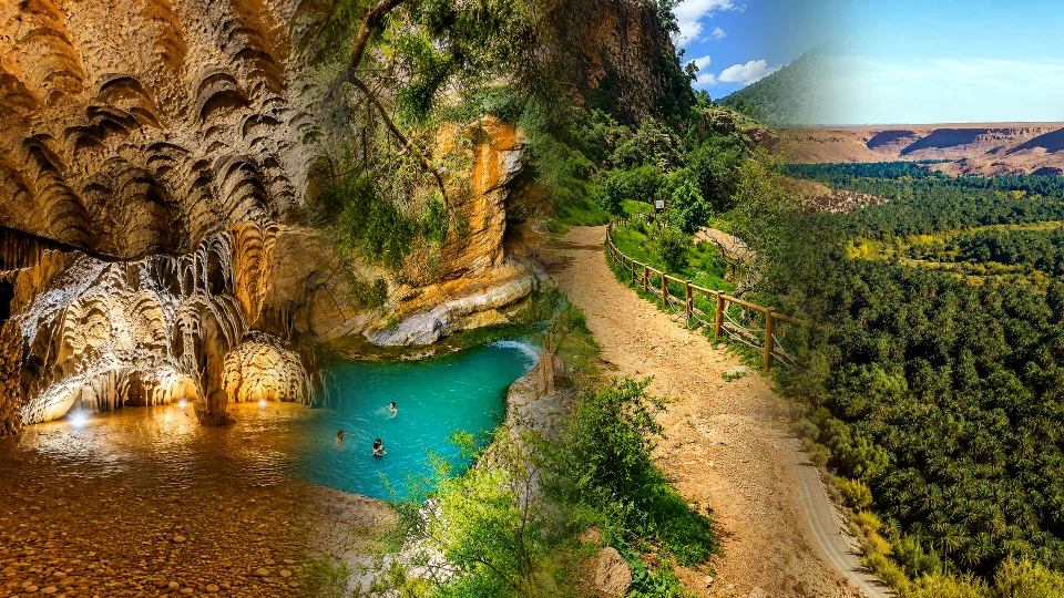
Limestone caves, valley paths and Beni Snassen country.
Scholarship and royal scale meet agricultural country, highland towns and the southern Rif.
Fez is the capital of Fès-Meknès. Its medina, madrasas and working crafts give the region a dense scholarly and urban heart. Meknès adds monumental gates, ramparts and the architectural ambition of Moulay Ismail. Between city and countryside, Moulay Idriss Zerhoun connects a sacred hill town with the nearby archaeological landscape of Volubilis. These places share a regional setting, but their religious, civic and dynastic histories remain different.
The administrative region reaches beyond the two imperial cities. Ifrane and Azrou bring Middle Atlas altitude, cedar landscapes and seasonal contrasts; Sefrou offers a smaller town shaped by water, gardens and local exchange. Taza occupies a strategic passage between mountain systems, while Taounate introduces the cultivated slopes of the southern Rif. Read the region through those shifts in scale: a carved courtyard in Fez, a long wall in Meknès, then a highland or hillside town. The wider Imperial Morocco route also includes Rabat and Marrakech, which belong to other official regions.
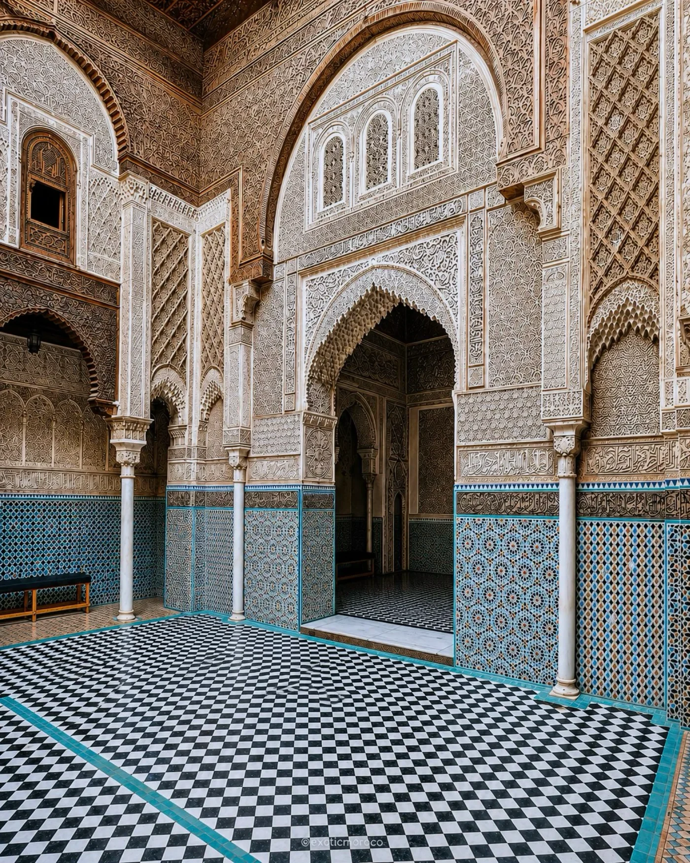 Fez · madrasa courtyard
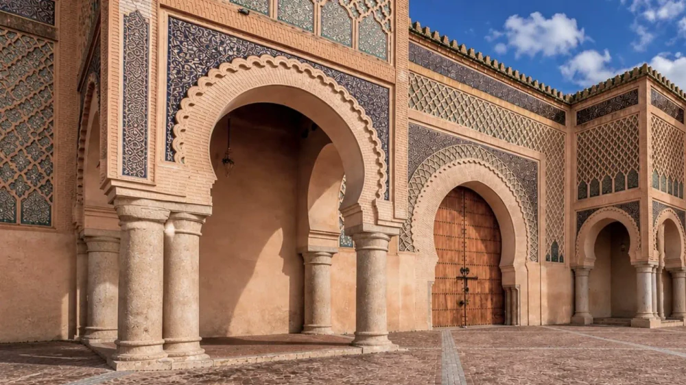 Meknès · Bab Mansour
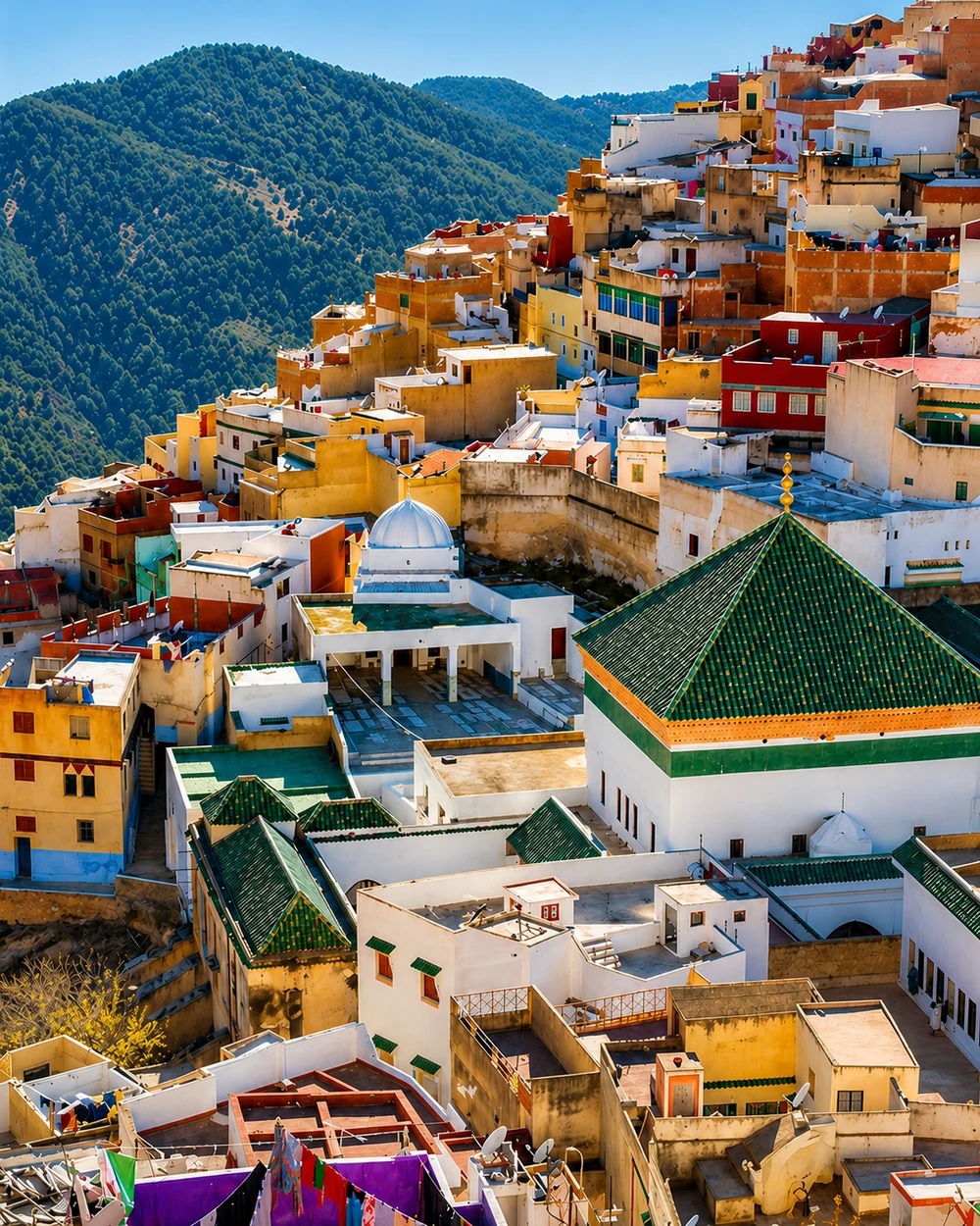 Moulay Idriss · hill town
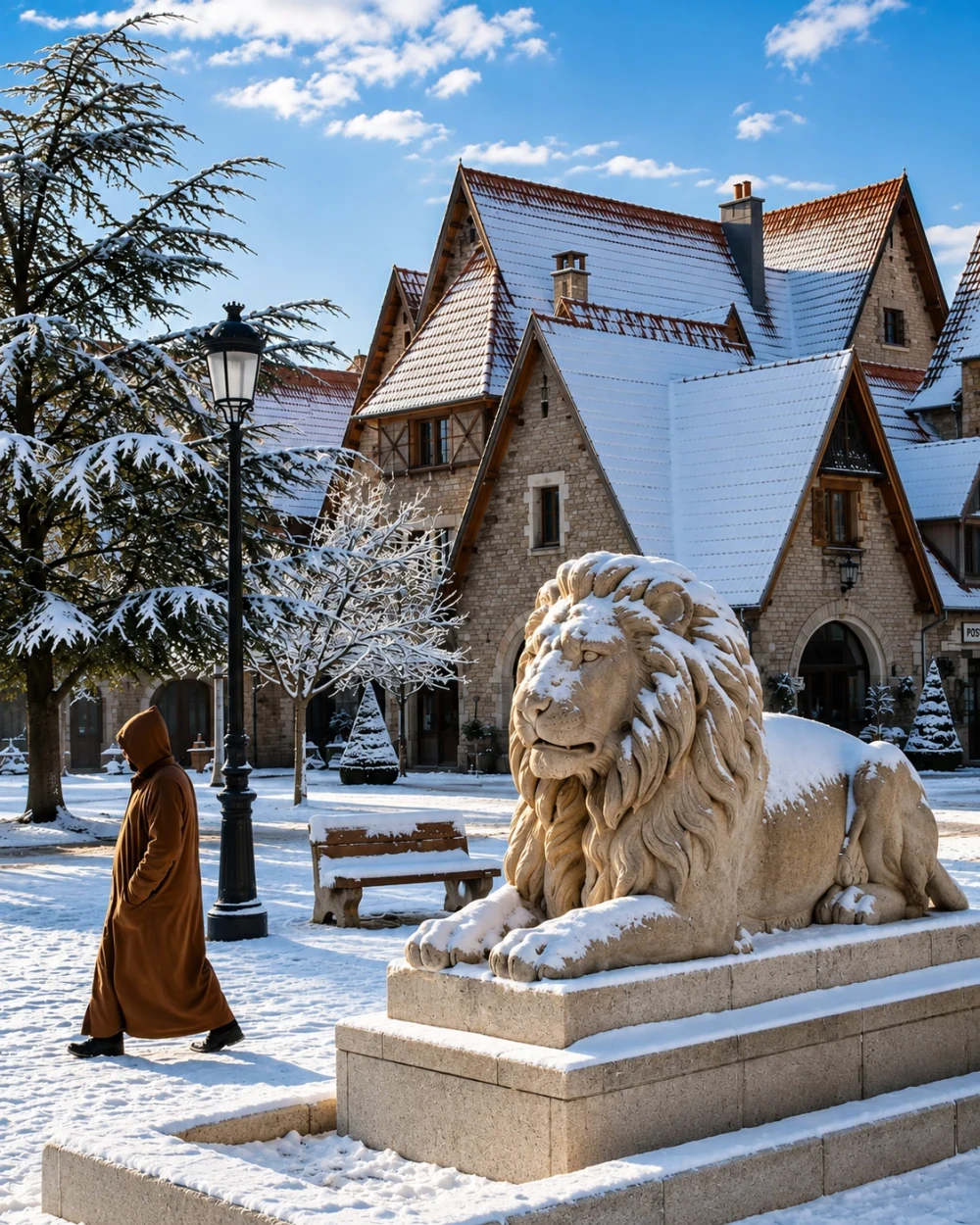 Ifrane · highland seasons
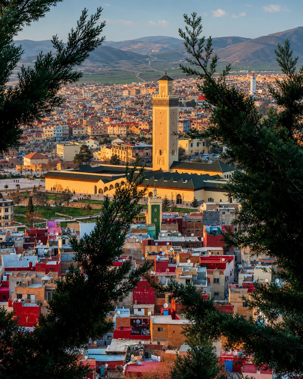 Azrou · Middle Atlas
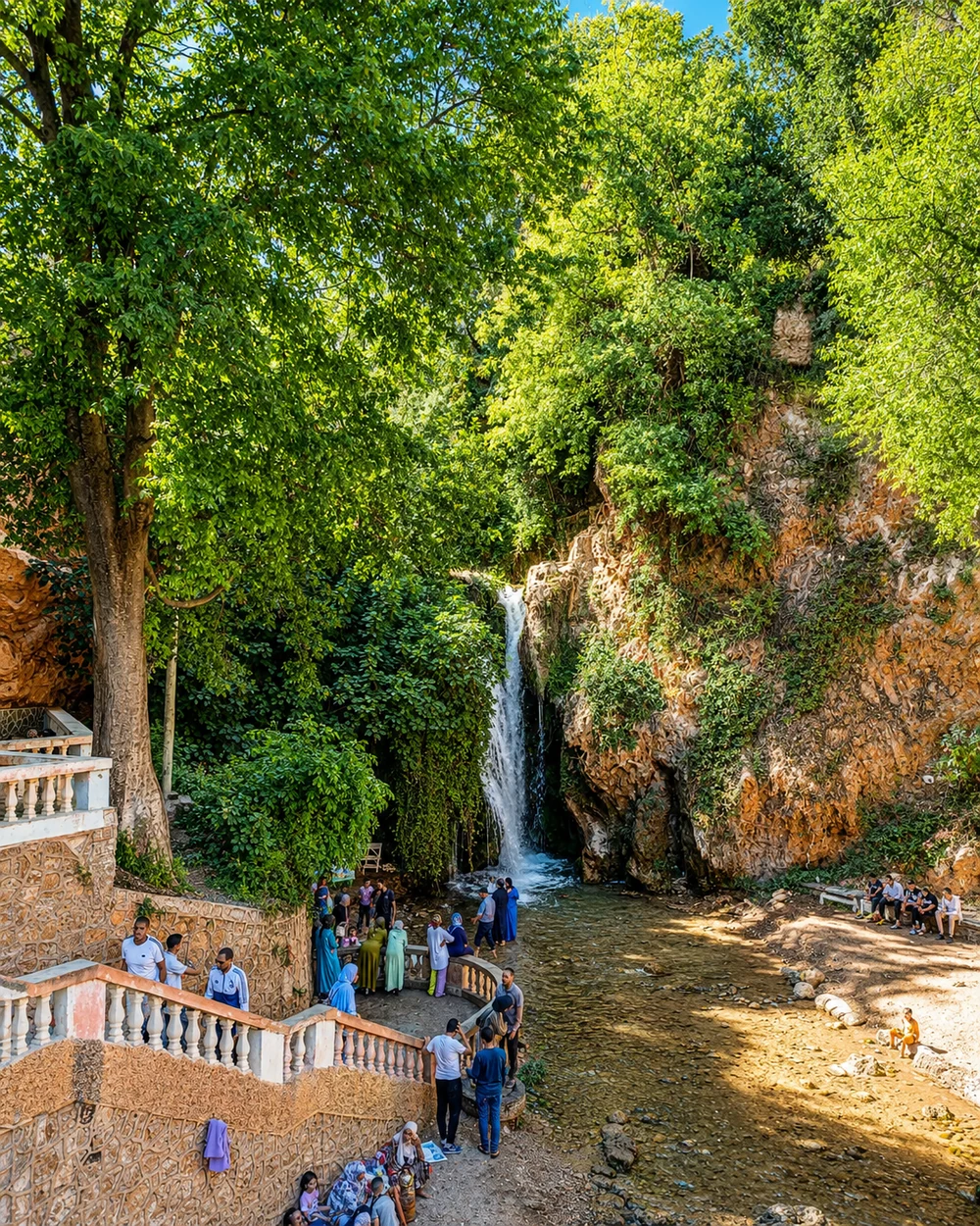 Sefrou · Oued Aggai
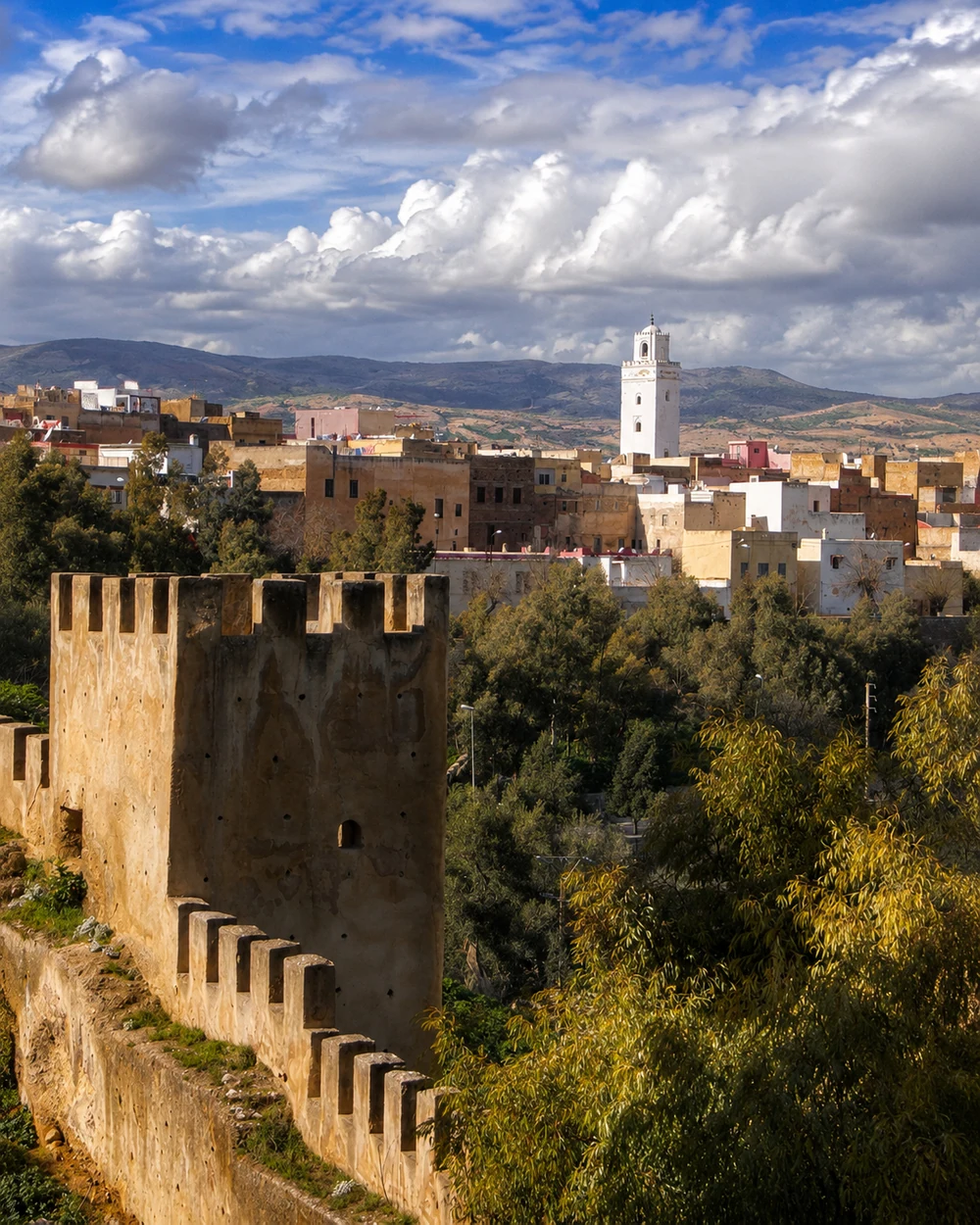 Taza · fortified threshold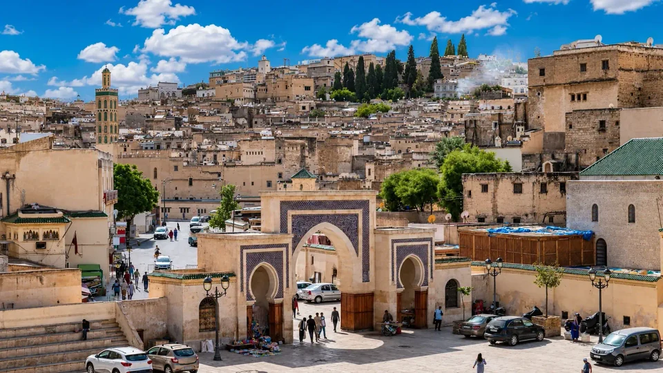
Madrasas, working crafts and a deeply layered medina.
Bab Mansour, royal walls and Ismaili urban scale.
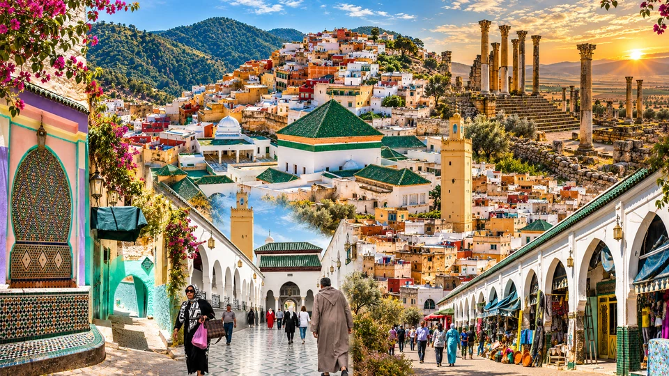
Sacred hill town and the nearby Volubilis landscape.
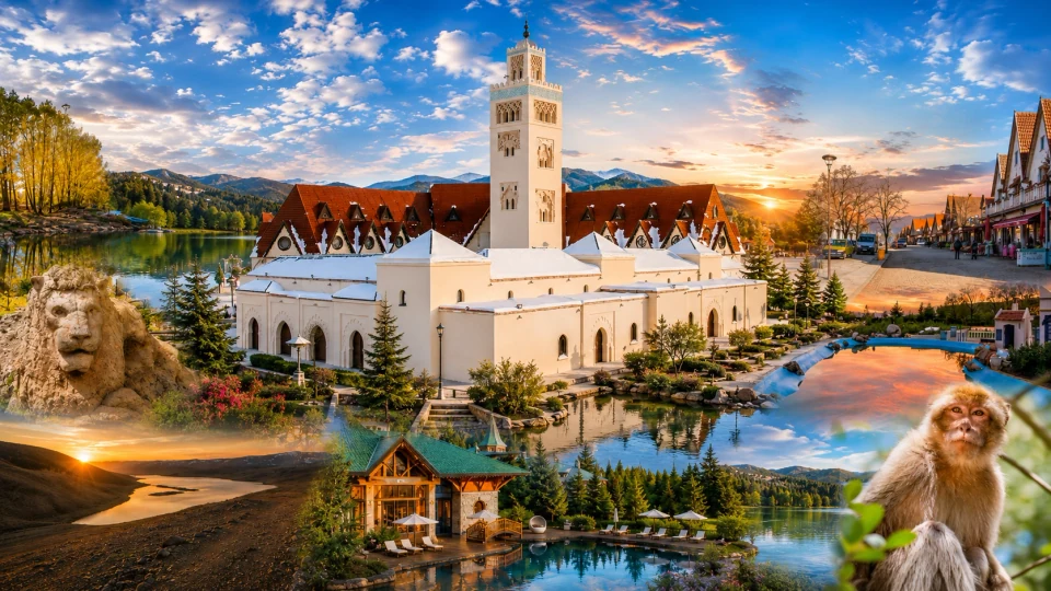
Highland town, cedar country and changing seasons.
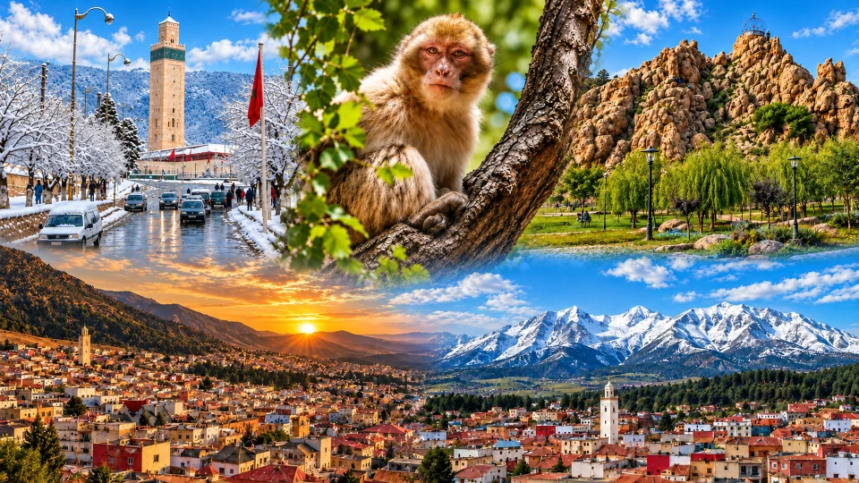
Middle Atlas town life and the surrounding cedar landscape.
Oued Aggai, gardens, smaller medina streets and local exchange.
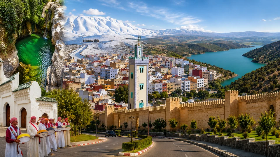
Fortifications and a threshold between mountain systems.
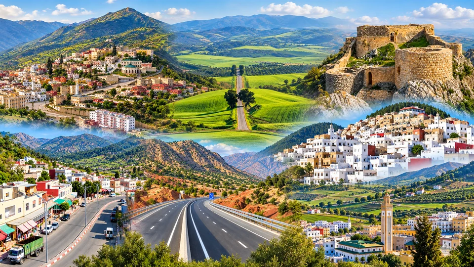
Cultivated hills, town streets and southern Rif horizons.
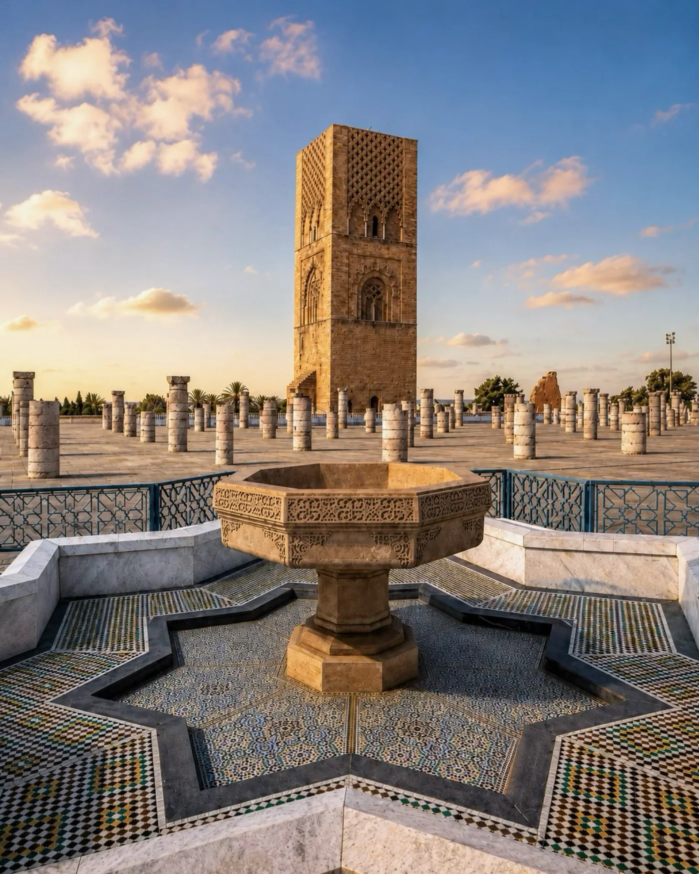 Rabat · Hassan Tower
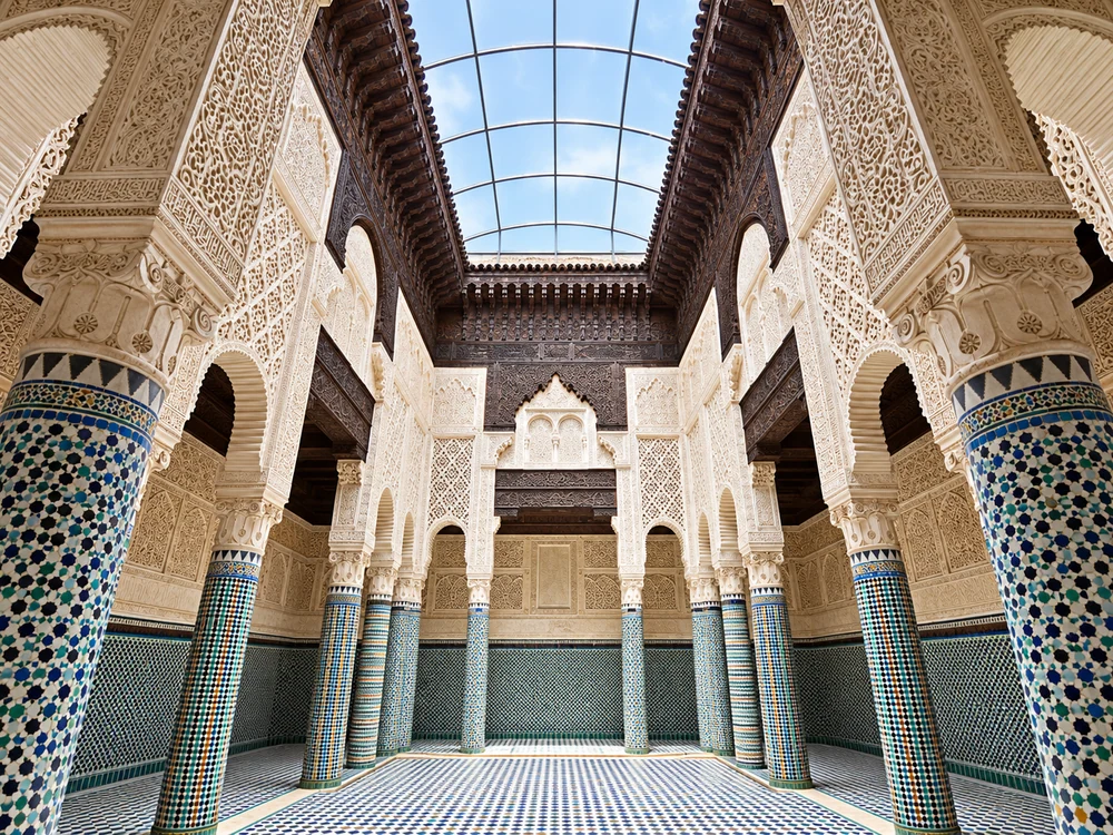 Salé · Marinid Madrasa
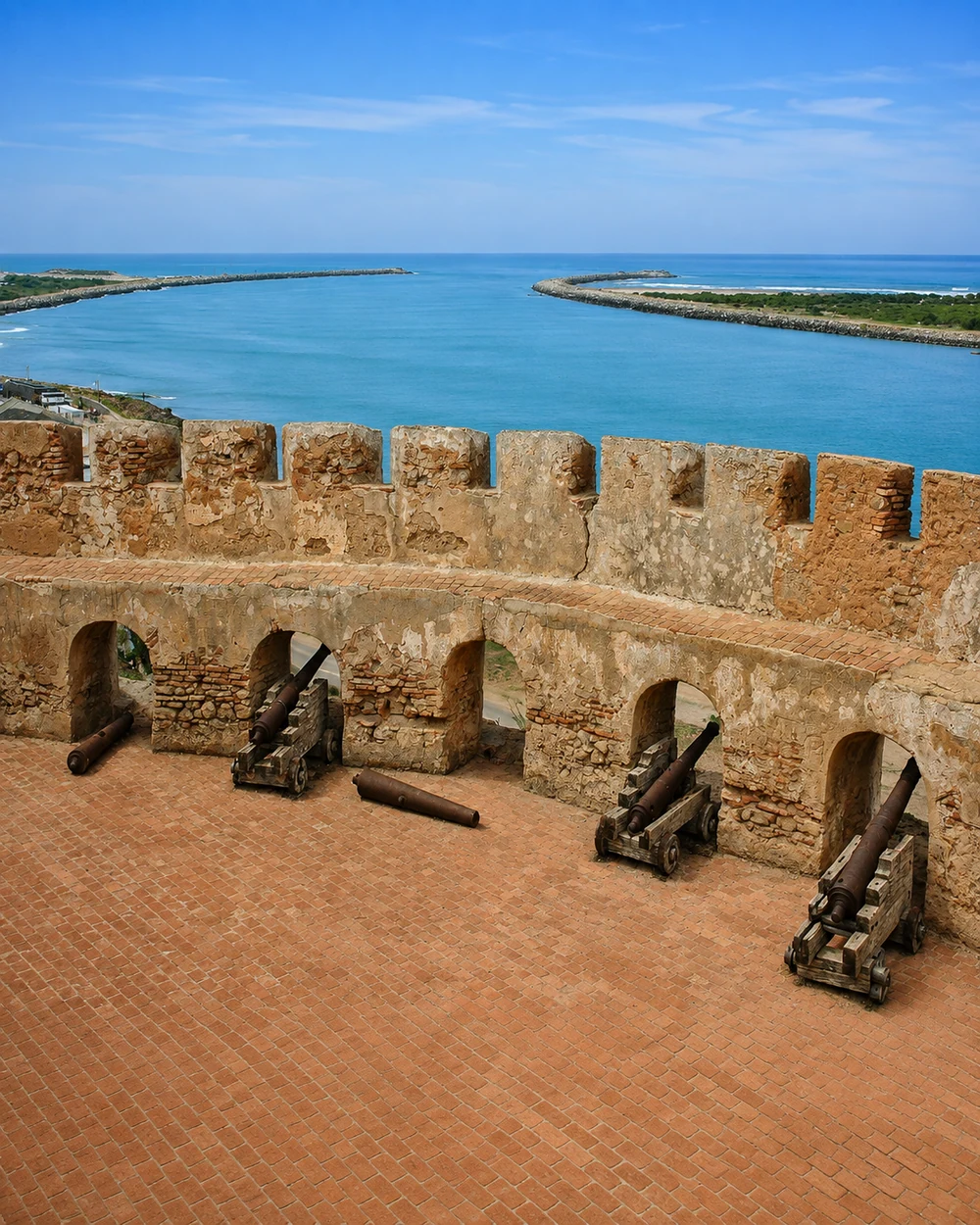 Kénitra · Mehdia Kasbah
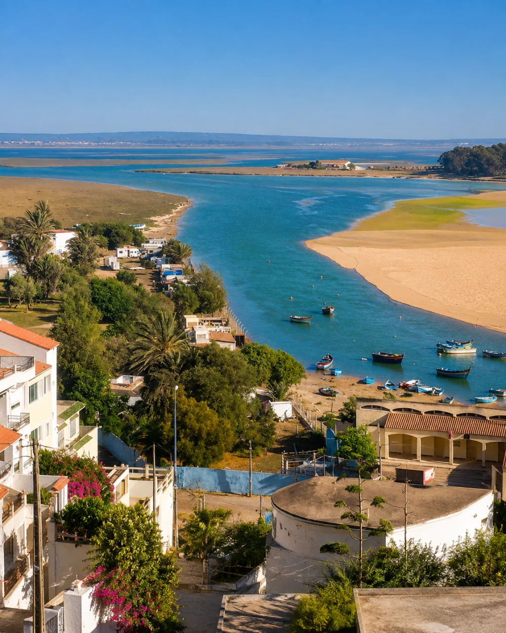 Merja Zerga · tidal landscape
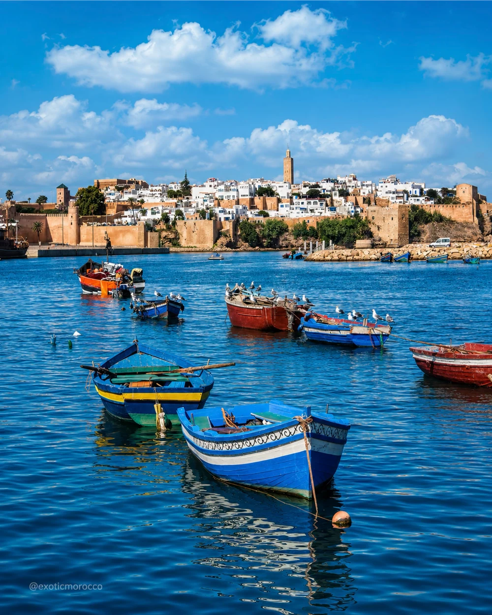 Rabat · Bouregreg boats
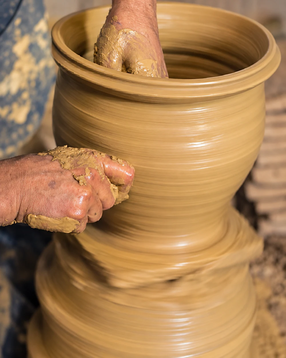 Salé · Oulja craft
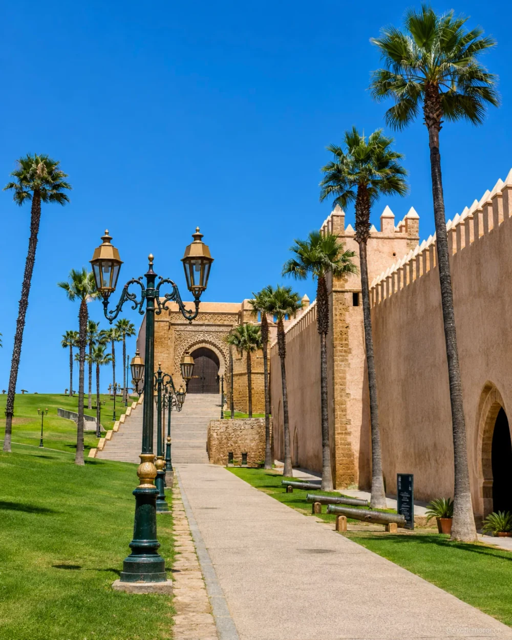 Rabat · Oudayas ramparts
The national capital, two river systems and Atlantic wetlands create a quietly varied region.
Rabat is both Morocco’s national capital and the capital of Rabat-Salé-Kénitra. Along the Bouregreg, the Oudayas, Hassan Tower and older urban fabric sit beside the public spaces of a modern capital. Salé contributes its own medina, scholarly institutions and craft traditions across the river. Treat the crossing as a change of perspective: shared water connects two cities without making their histories interchangeable.
Northward, Kénitra brings the Sebou, port memory and the Atlantic threshold at Mehdia. Beyond the capital pair, the Gharb plain adds an agricultural dimension, while the coast around Moulay Bouslham and Merja Zerga reveals tidal channels, fishing boats and wetland life. Water gives the region a useful common thread, from an urban riverbank to a cultivated plain and a lagoon. Compare the ceremonial scale of Rabat with Salé’s smaller craft exchanges, then use the Kénitra and Moulay Bouslham guides for the distinct landscapes farther north.
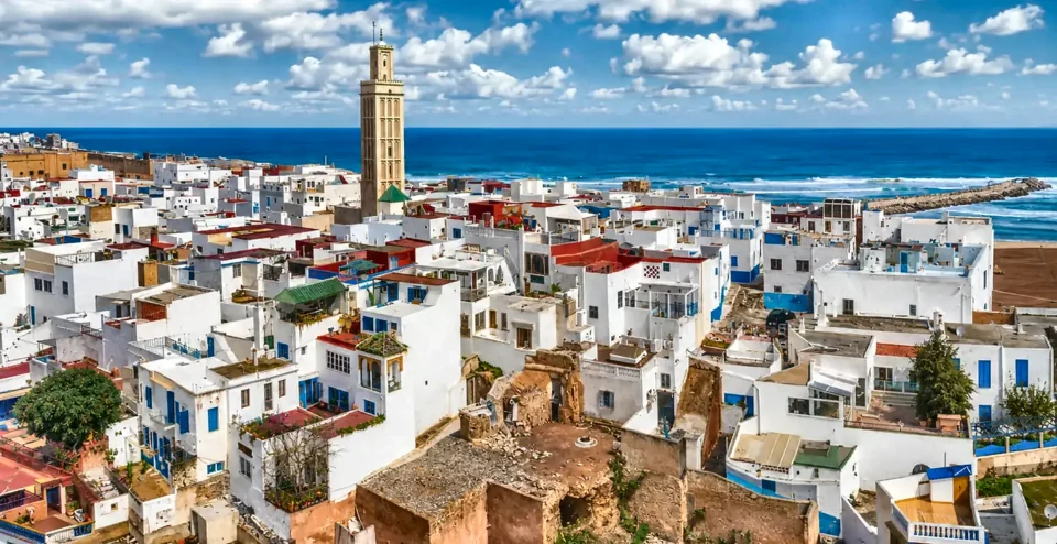
National capital, Oudayas, Chellah and Atlantic civic spaces.
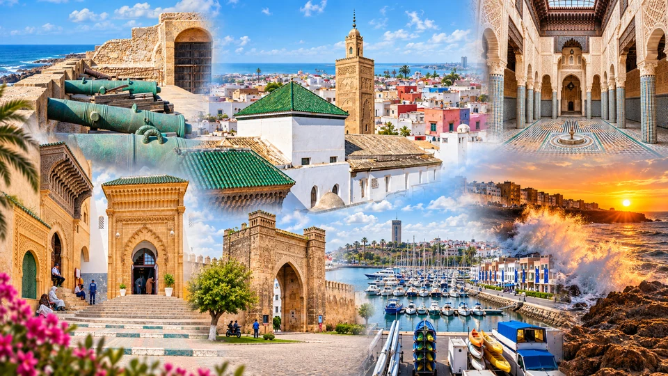
Marinid scholarship, medina craft and the Bouregreg.
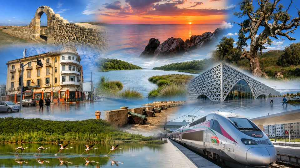
Sebou riverfront, Mehdia and the Atlantic river mouth.
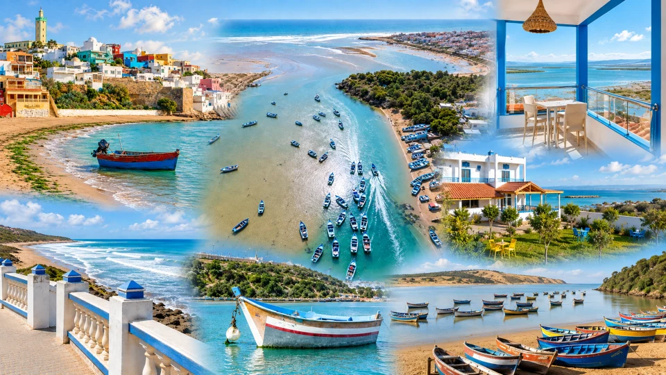
Village terraces, fishing boats and Merja Zerga wetlands.
The Tadla plain rises into mountain valleys, forested country and strong weaving traditions.
Béni Mellal, the regional capital, stands where the cultivated Tadla plain meets the Atlas foothills. Its kasbah outlook and the gardens around Aïn Asserdoun make the relationship between water, settlement and agriculture visible. The wider Béni Mellal-Khénifra region includes central High Atlas country around Azilal, Middle Atlas landscapes around Khénifra and the phosphate-producing interior around Khouribga. A single regional name therefore covers very different forms of work and terrain.
Khénifra brings Zayan cultural memory, woven textiles and mountain water; Azilal introduces terraced slopes, valleys and the scale of the central High Atlas. Béjaâd adds a town with religious and communal history, distinct from the mountain excursion landscape. Look for how built space responds to its setting: a plain-facing kasbah, a valley settlement, a town square or a textile market. The city guides below provide existing entry points into these places without reducing the region to one waterfall, one carpet pattern or one mountain view.
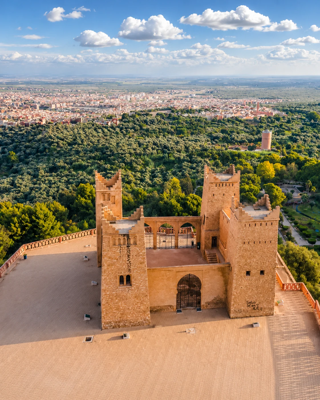 Béni Mellal · kasbah outlook
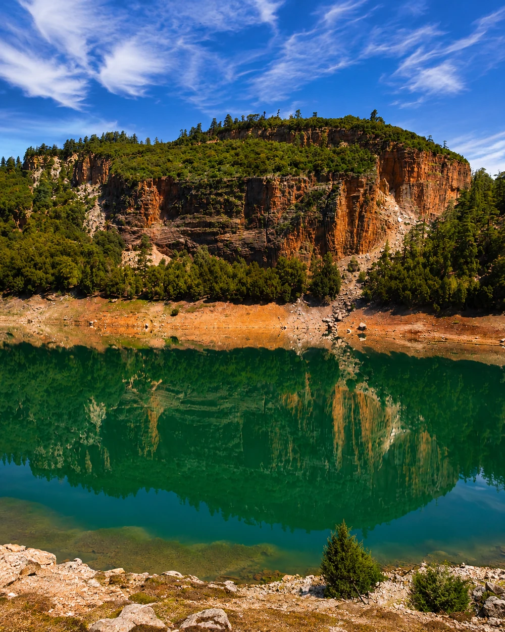 Khénifra · Aguelmam Azegza
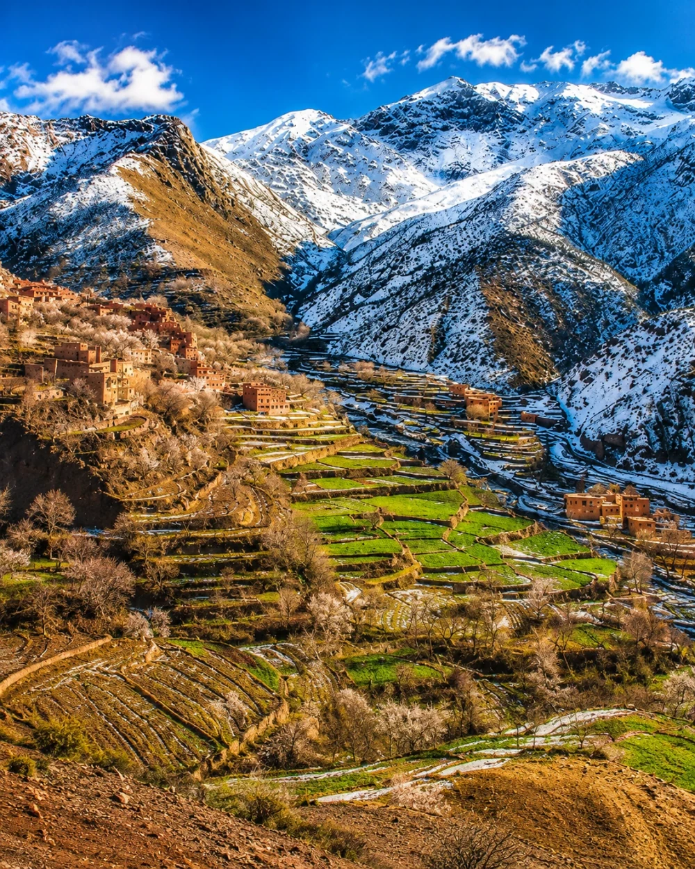 Azilal · mountain terraces
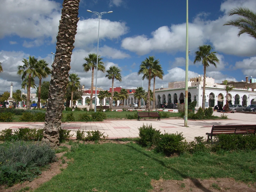 Béjaâd · town square
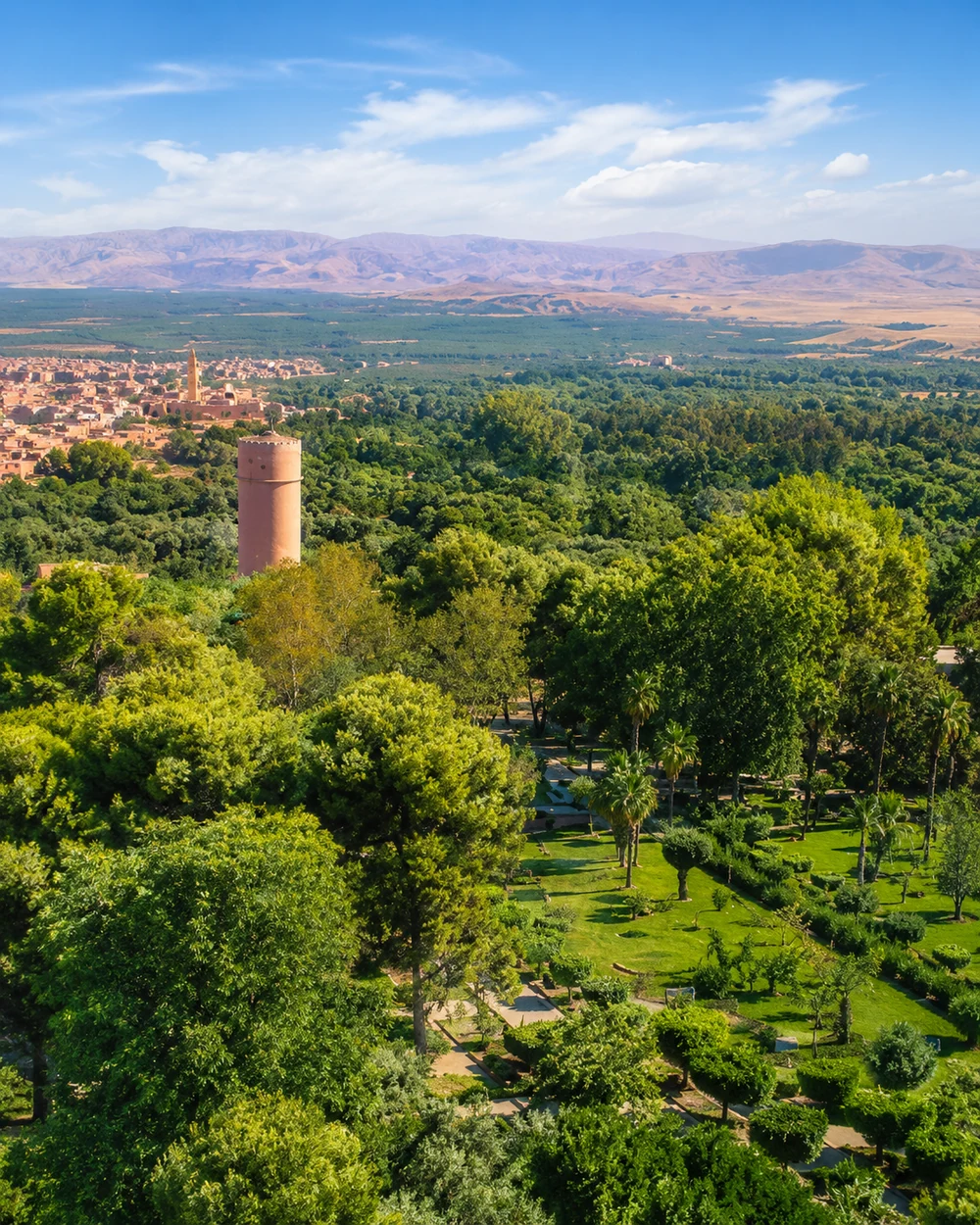 Tadla · cultivated plain
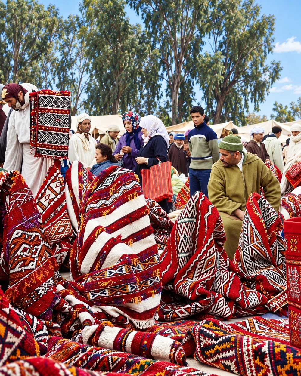 Khénifra · woven textiles
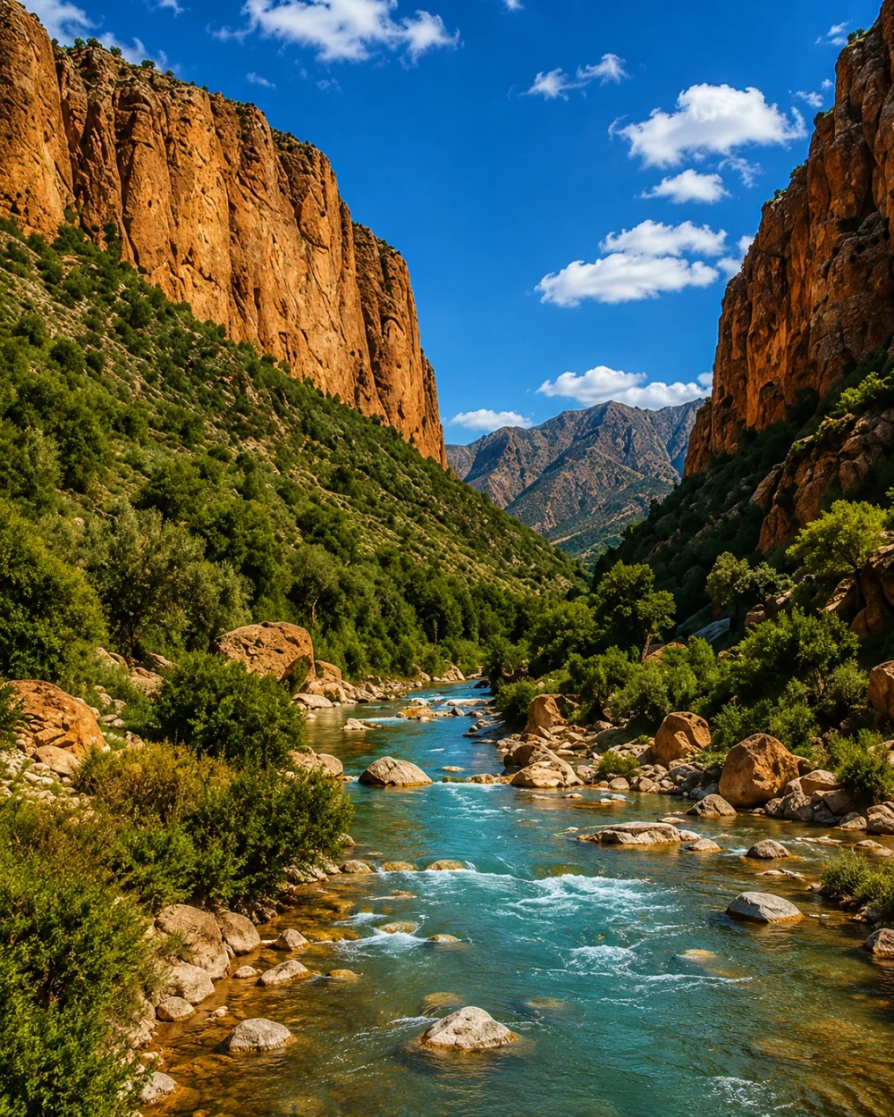 Azilal · river gorge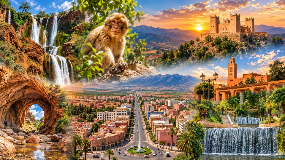
Kasbah outlook, spring gardens and the Tadla plain.
Zayan memory, woven textiles and Middle Atlas water.
Mountain town, terraced slopes and central High Atlas valleys.
Religious memory, town squares and local traditions.
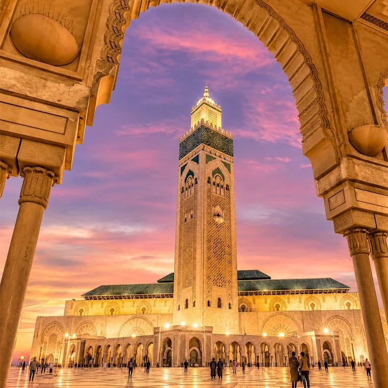 Casablanca · Hassan II Mosque
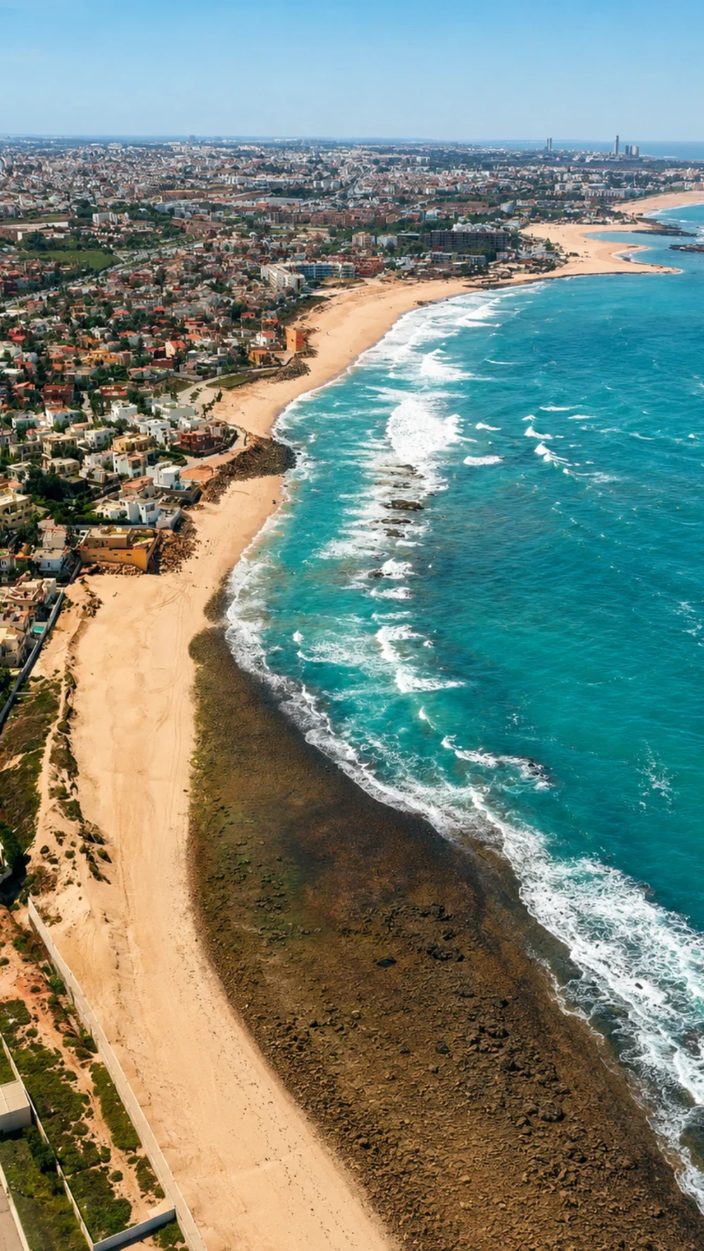 Mohammedia · Atlantic shore
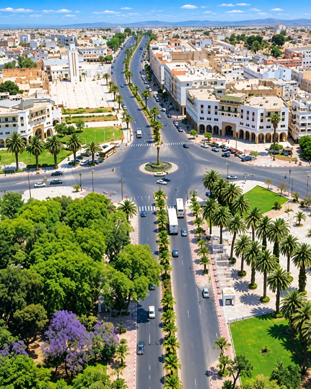 Settat · Chaouia town life
 El Jadida · Portuguese Cistern
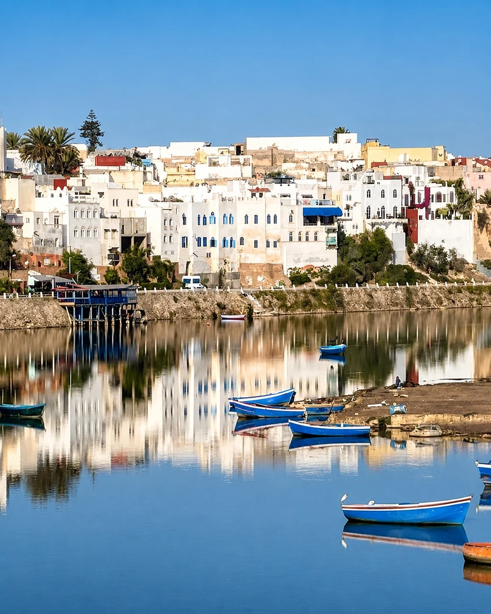 Azemmour · Oum Er-Rbia
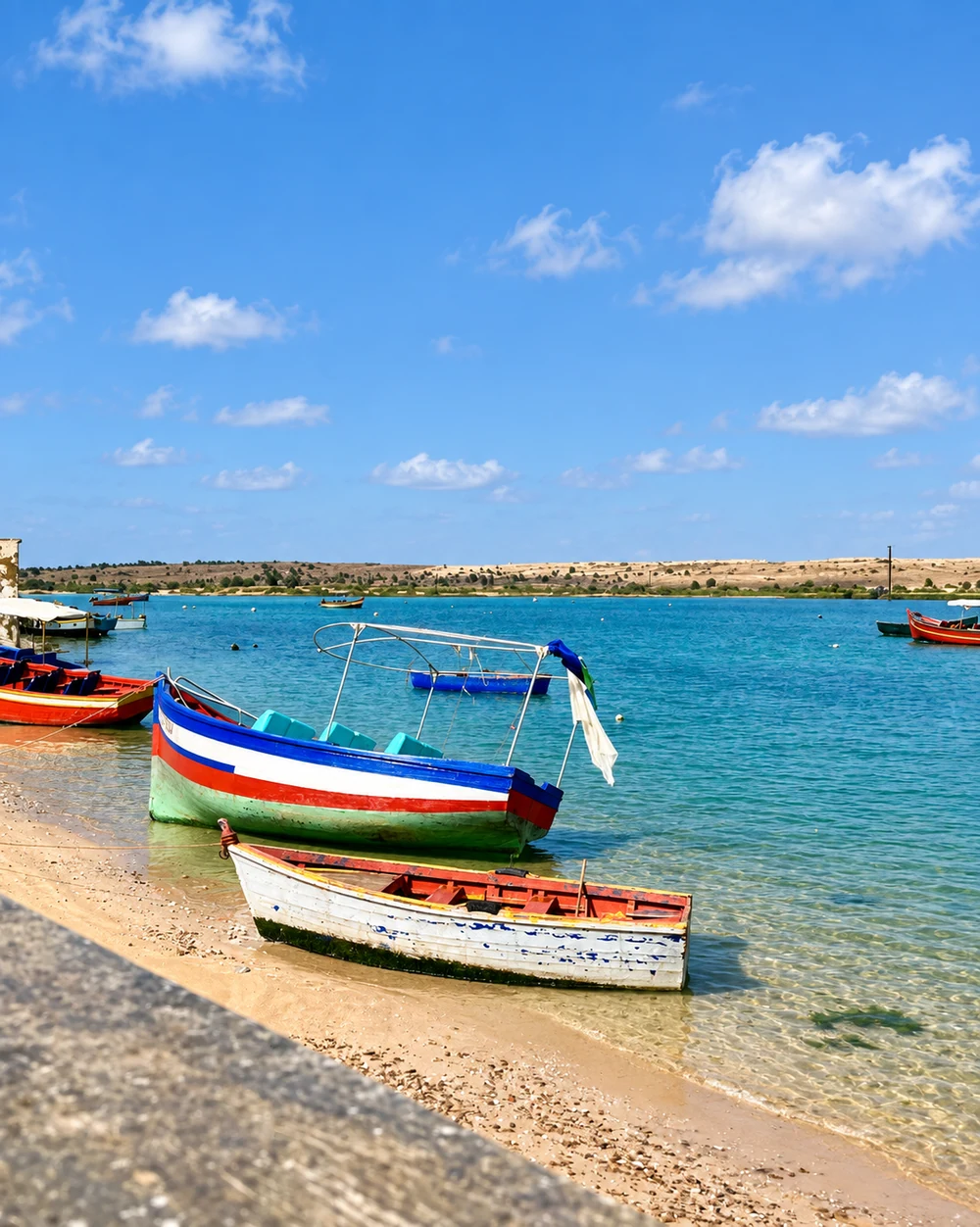 Oualidia · lagoon boats
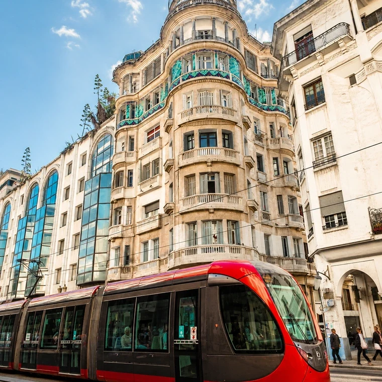 Casablanca · Art Deco
Metropolitan ambition, productive plains and historic Atlantic towns belong to the same region.
Casablanca is the capital of Casablanca-Settat and its largest urban expression: a working Atlantic metropolis with port infrastructure, Art Deco streets, the Habous quarter and the Hassan II Mosque. Mohammedia adds another coastal and industrial town, while Settat opens the Chaouia interior. Inland agricultural landscapes are part of the regional identity alongside the commercial scale of the city and the movement of the coast.
South along the Atlantic, El Jadida contributes the fortified Portuguese City of Mazagan and its cistern. Azemmour sits beside the Oum Er-Rbia, giving riverfront walls and medina life a different setting. Oualidia, in Sidi Bennour province, belongs to this official region: its lagoon, small boats and sheltered water form a quieter coastal chapter. Compare city façades, a fortified harbour, a riverbank and a lagoon rather than reading the whole region through Casablanca alone. Each city circle leads to an existing guide with its own monuments, local context and visual detail.
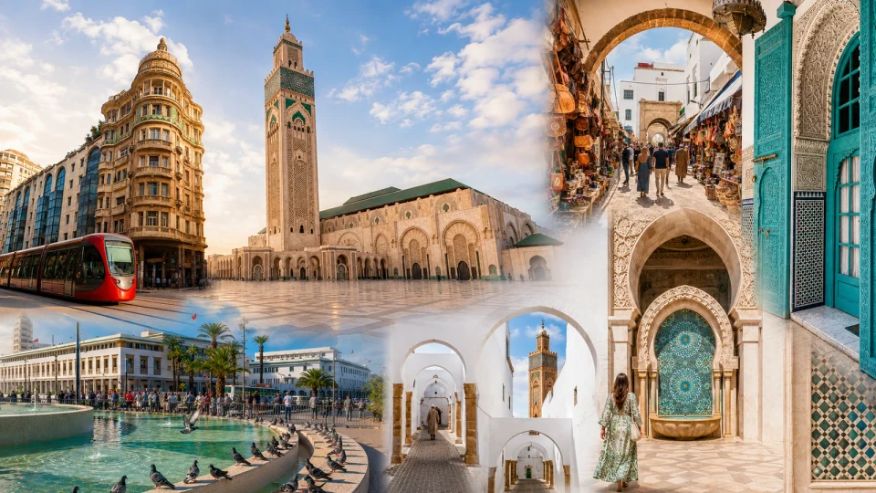
Atlantic metropolis, Hassan II Mosque and Art Deco streets.
Old Fedala, working harbour and Atlantic beach life.
Chaouia town, civic avenues and an agricultural interior.
Mazagan fortifications, Portuguese Cistern and Atlantic harbour.
Riverfront medina and walls beside the Oum Er-Rbia.
Lagoon boats, sheltered water and a quieter coastal scale.
The red city and Haouz country share a region with two very different Atlantic ports.
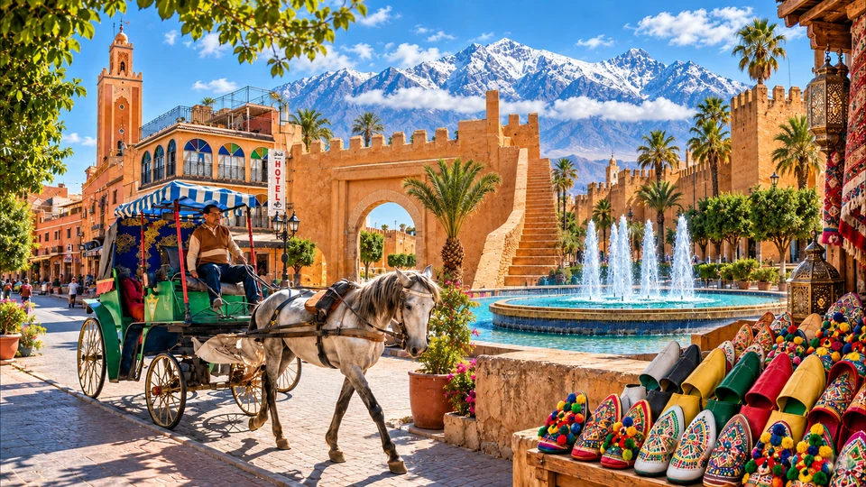
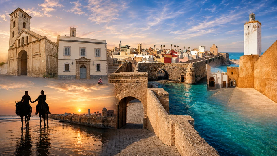
Marrakech is the capital of Marrakech-Safi. The Koutoubia, gardens, palaces and public life of Jemaa el-Fna give the city its familiar intensity, while the Haouz plain and the High Atlas country place it in a wider agricultural and mountain setting. The region also reaches the Atlantic through Safi and Essaouira. Those coastal cities add working harbours, sea-facing fortifications and forms of craft that cannot be understood through Marrakech’s royal history alone.
Safi’s ceramics and Ksar el-Bahr connect making with an old port city. Essaouira brings a planned medina, ramparts, blue fishing boats and an urban culture shaped by Atlantic exchange. Follow one material or space between them: clay in a Safi workshop, stone at a sea wall, water in a Marrakech garden. The differences are the point. Marrakech’s inland heat and evening square life ask for a different pace from the exposed coastal streets. Use the existing guides below to explore all three cities within their correct official region.
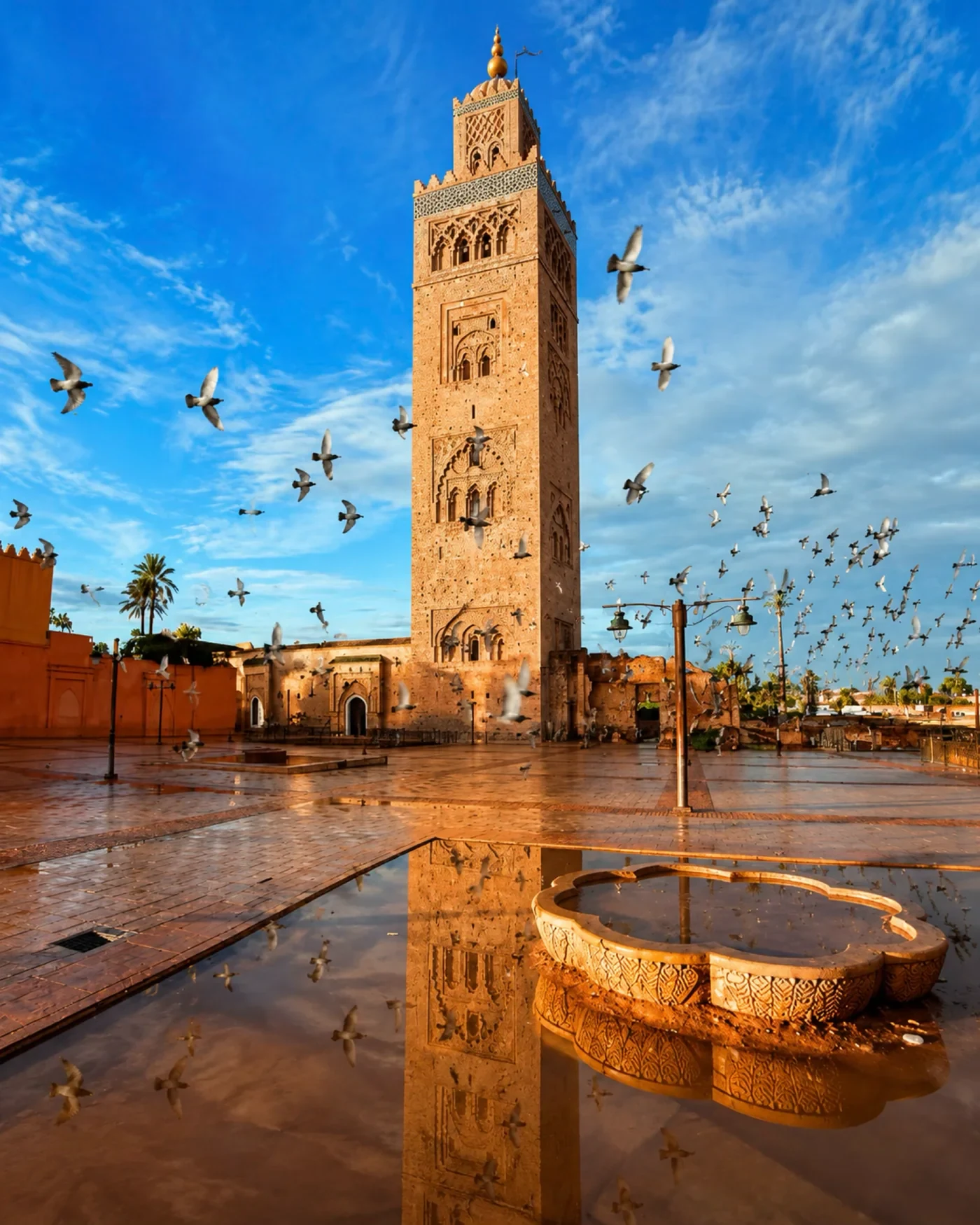 Marrakech · Koutoubia
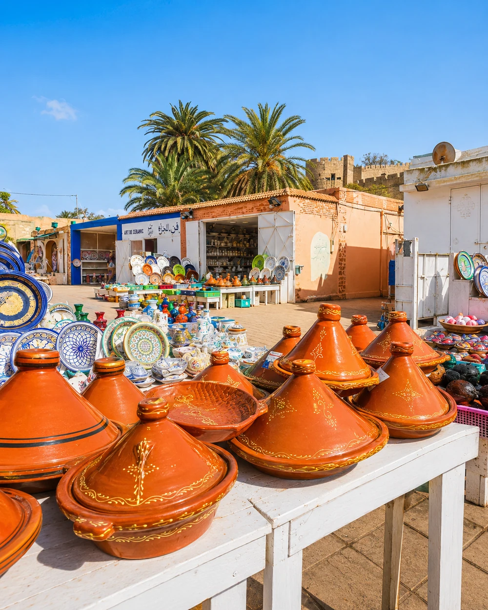 Safi · ceramics
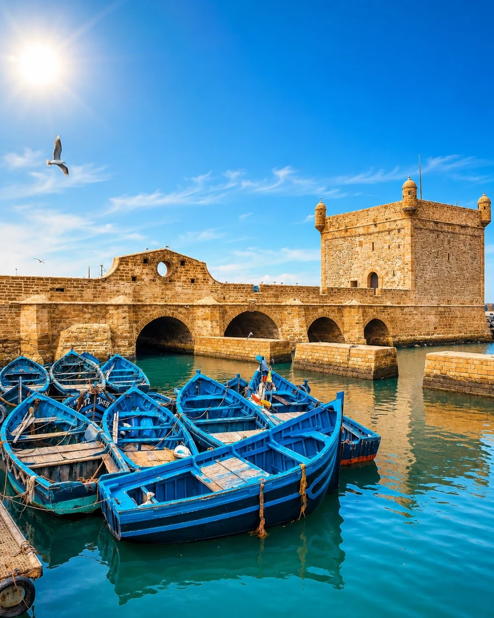 Essaouira · fishing port
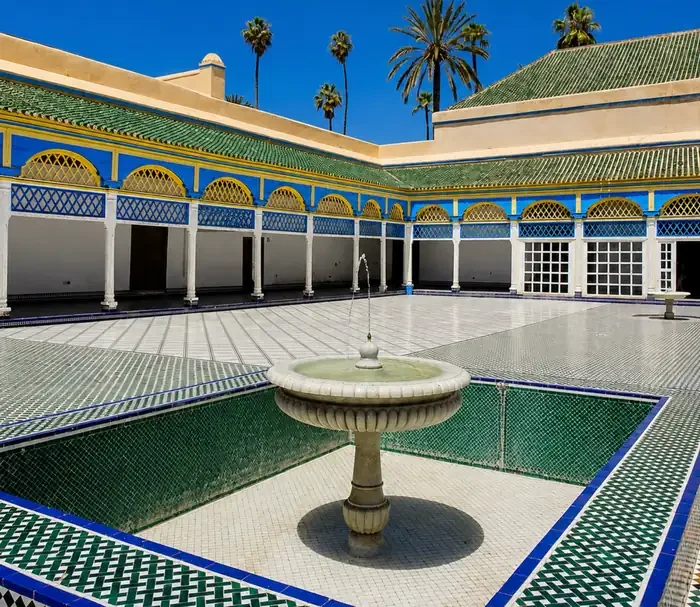 Marrakech · Bahia Palace
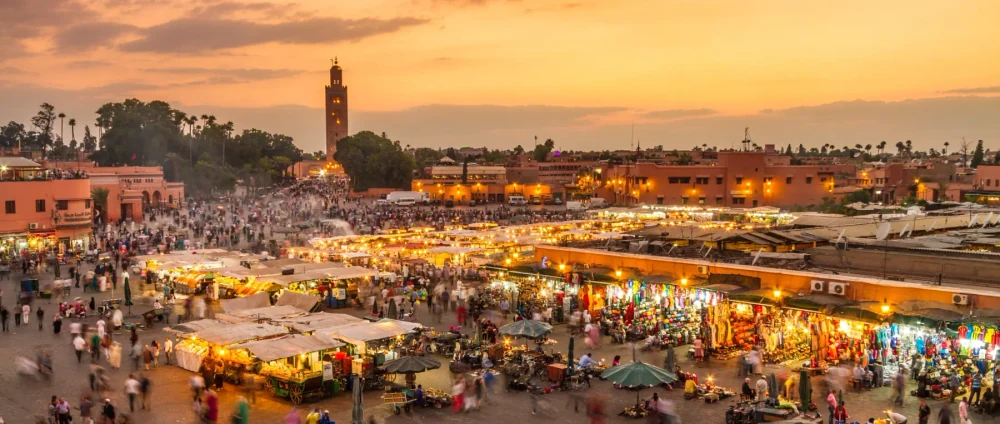 Marrakech · Jemaa el-Fna
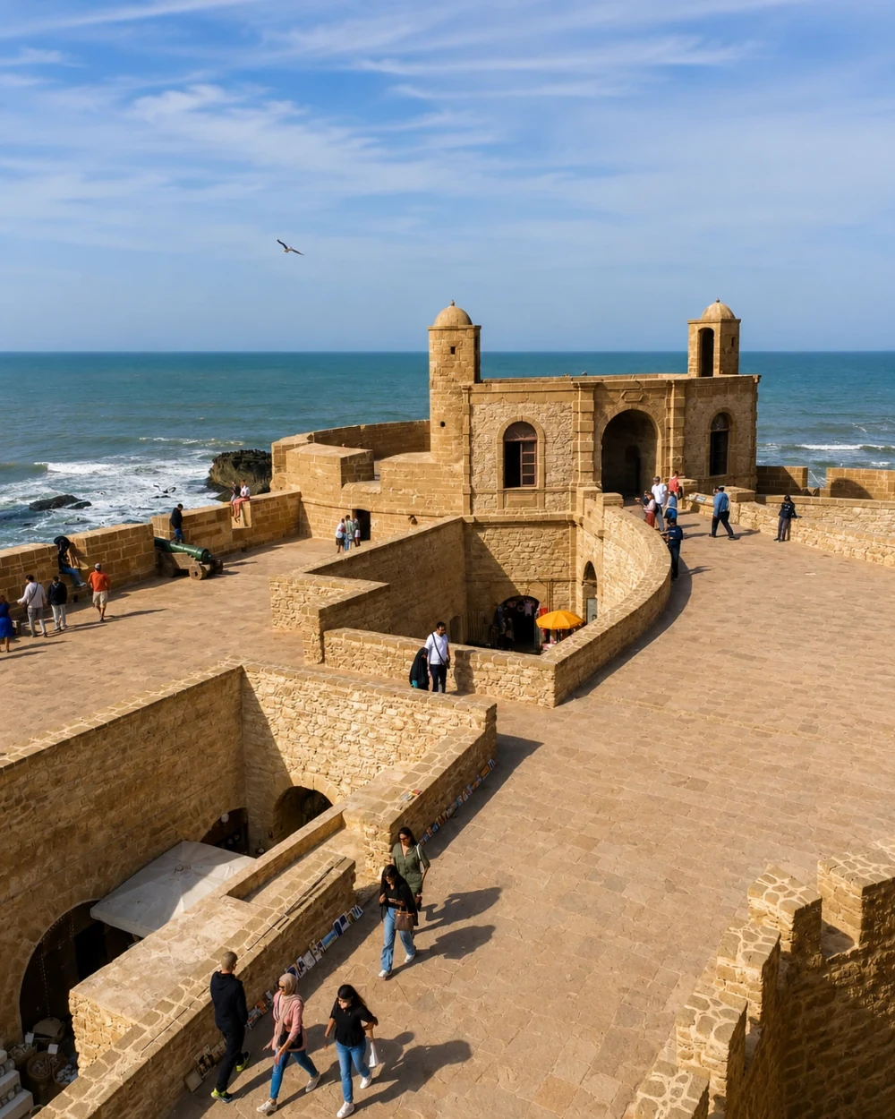 Essaouira · Skala ramparts
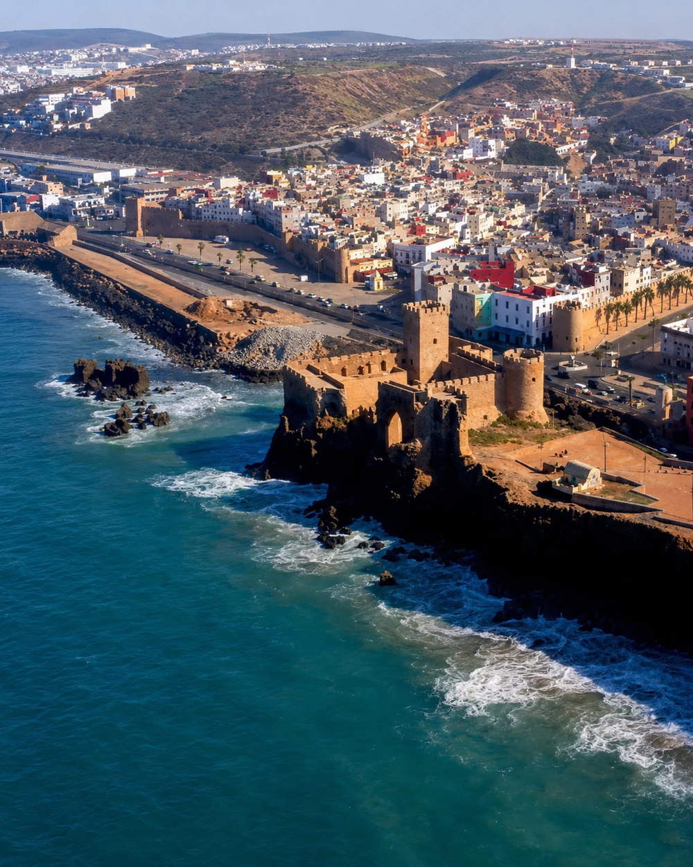 Safi · Ksar el-Bahr
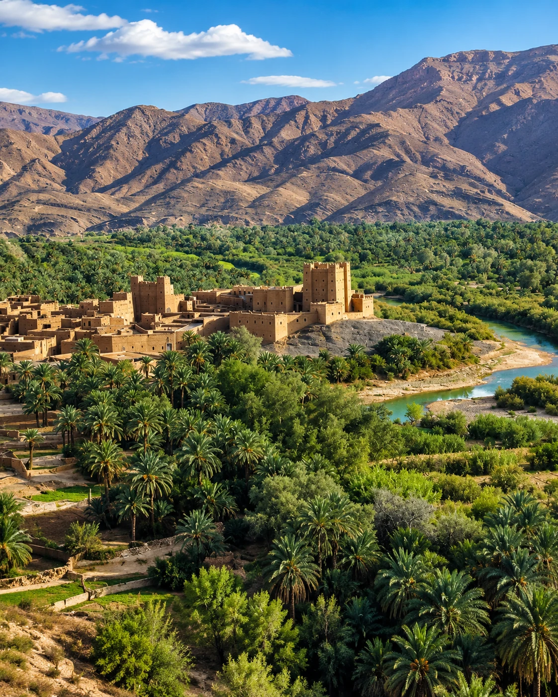 Errachidia · Ziz oasis
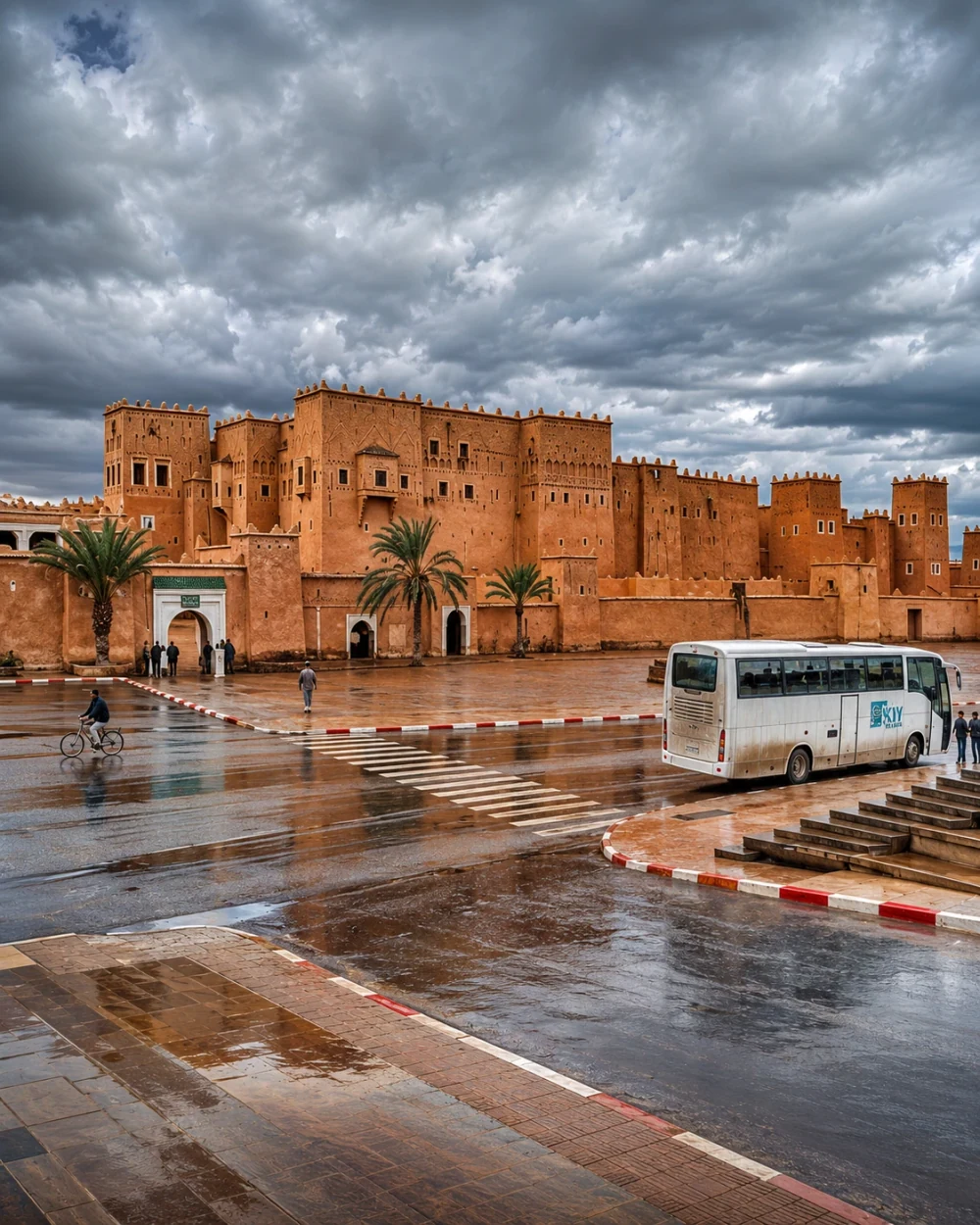 Ouarzazate · Taourirt Kasbah
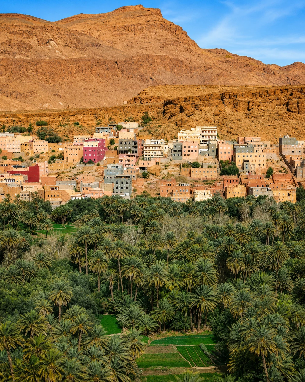 Tinghir · oasis settlement
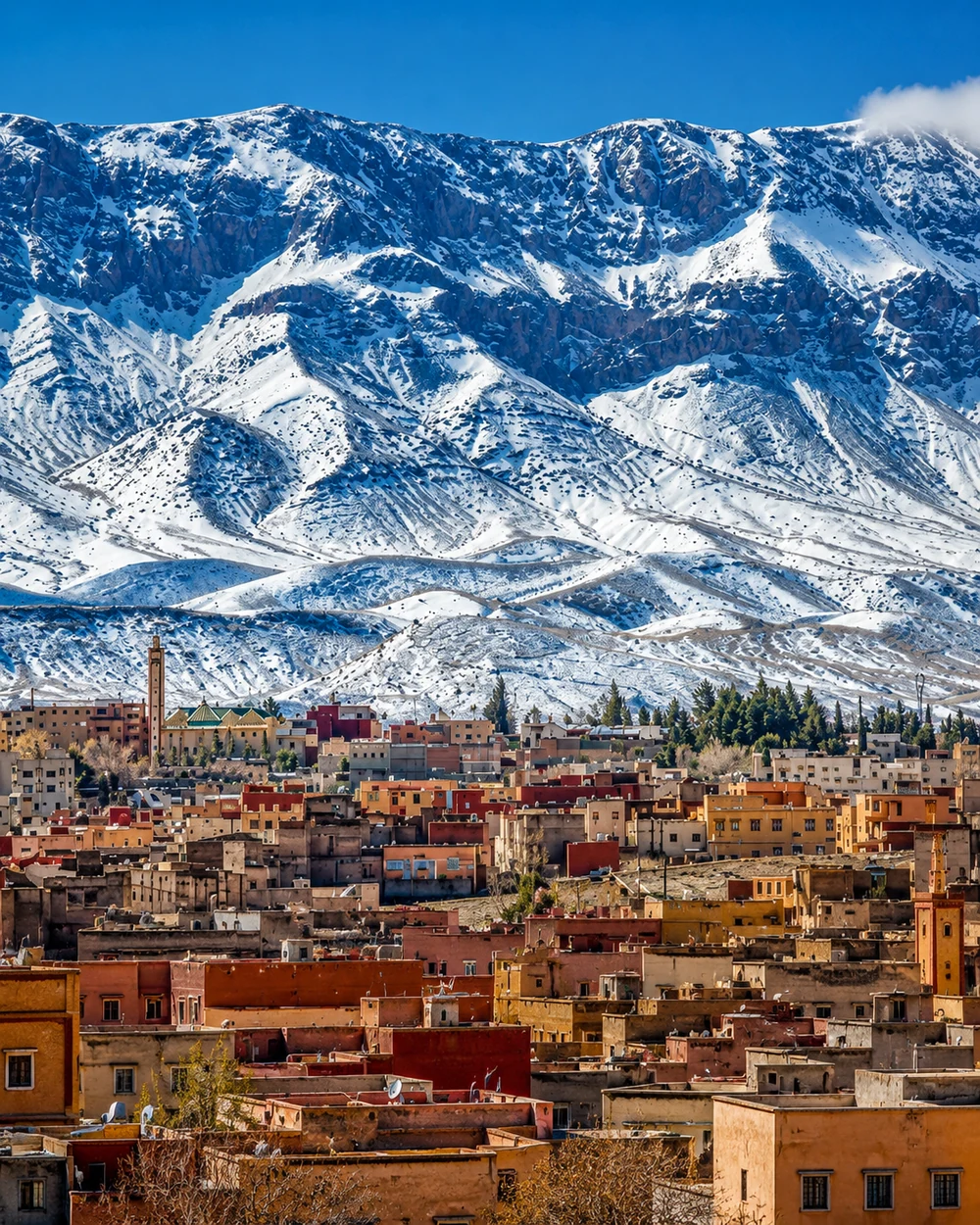 Midelt · Jbel Ayachi
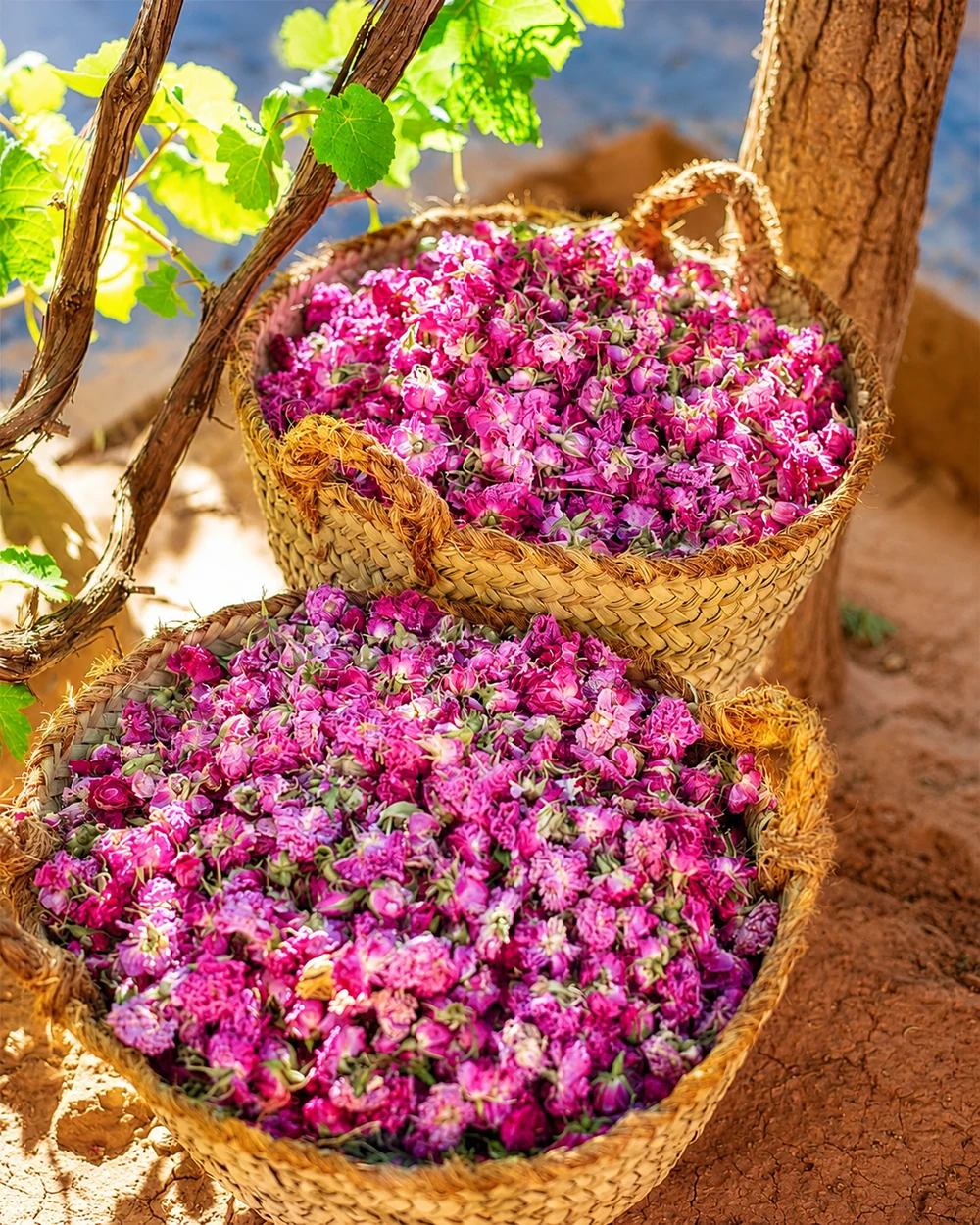 Kelaat M’Gouna · roses
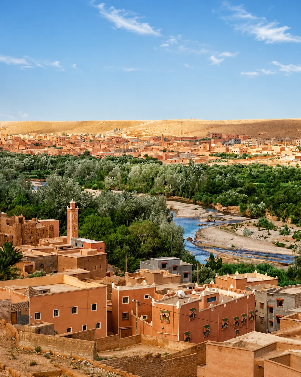 Zagora · Drâa palm groves
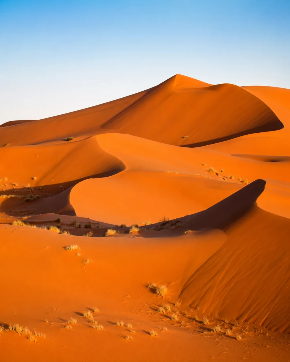 Merzouga · Erg Chebbi
Highland approaches, oasis water and earthen settlement shape the southeast beyond the dunes.
Errachidia is the capital of Drâa-Tafilalet, a region spanning Midelt’s highland approaches, the Ziz and Tafilalet oases, Tinghir, Ouarzazate and the Drâa country around Zagora. Water gives settlement its structure: palm gardens, cultivated plots, river corridors and earthen buildings work together within a dry landscape. Midelt’s Atlas horizon and agricultural character make a markedly different introduction from the date-palm country around Erfoud and Rissani.
Tinghir links oasis settlement with the Todgha landscape; Kelaat M’Gouna brings rose-growing valleys, while Ouarzazate adds kasbah heritage and film production. Zagora and M’Hamid El Ghizlane open the Drâa’s southern oasis chapters, and Merzouga offers an existing guide to the Erg Chebbi setting. Keep these valleys and dune areas distinct rather than treating every southeastern place as a single desert excursion. Look at the settlement before the horizon: a shaded passage, an irrigation edge or a market often explains more about the region than a sweeping dune photograph alone.
Regional capital and a gateway to Ziz oasis country.
Taourirt Kasbah, earthen architecture and film-making landscapes.
Palm oasis, valley settlement and the Todgha setting.
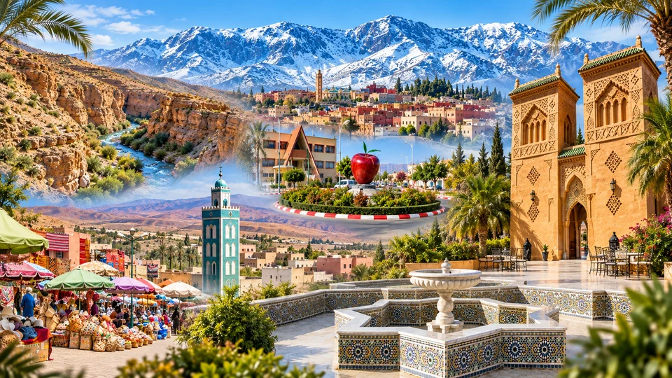
Apple country, highland town and the Jbel Ayachi horizon.
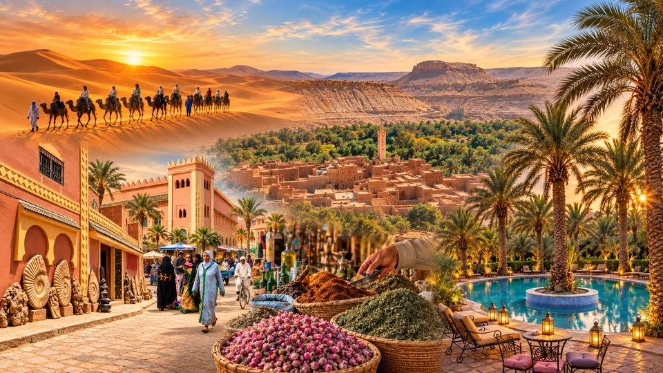
Tafilalet palms, local streets and fossil craft.
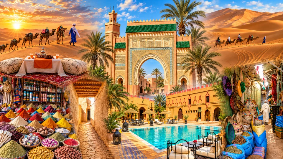
Market exchange, gateways and Tafilalet settlement history.
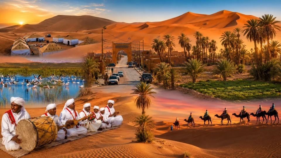
Village edge, Erg Chebbi dunes and oasis context.
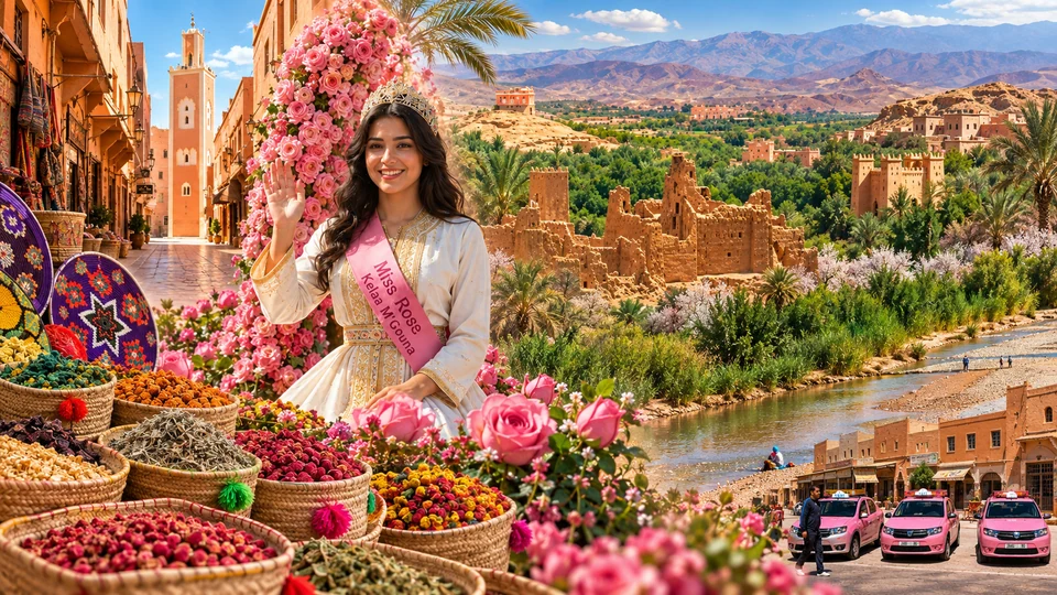
Rose-growing valleys, town life and earthen architecture.
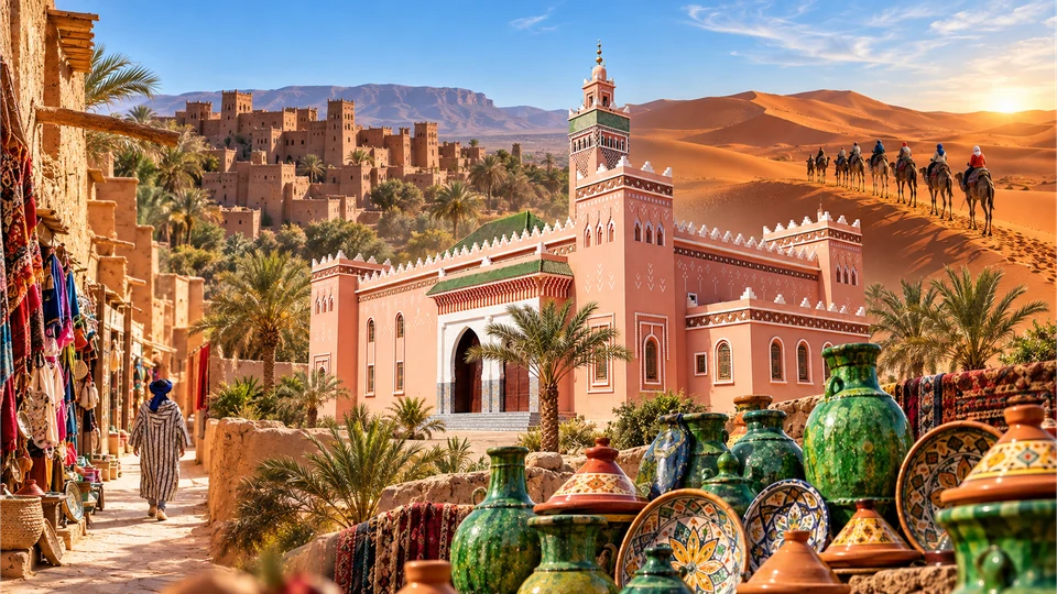
Drâa palm country, markets and oasis settlements.
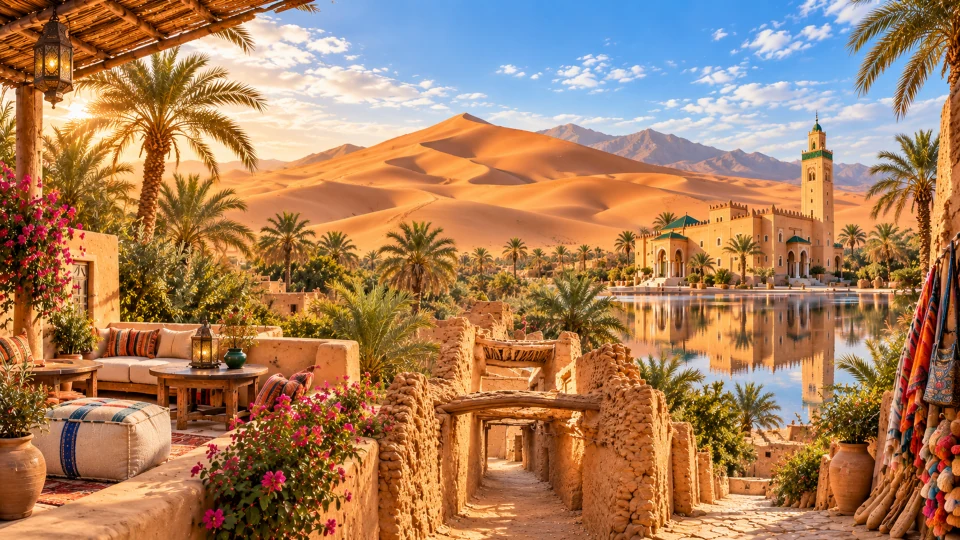
Earthen village, palm groves and a Saharan threshold.
Atlantic urban life meets the Souss plain, fortified towns and Anti-Atlas granite country.
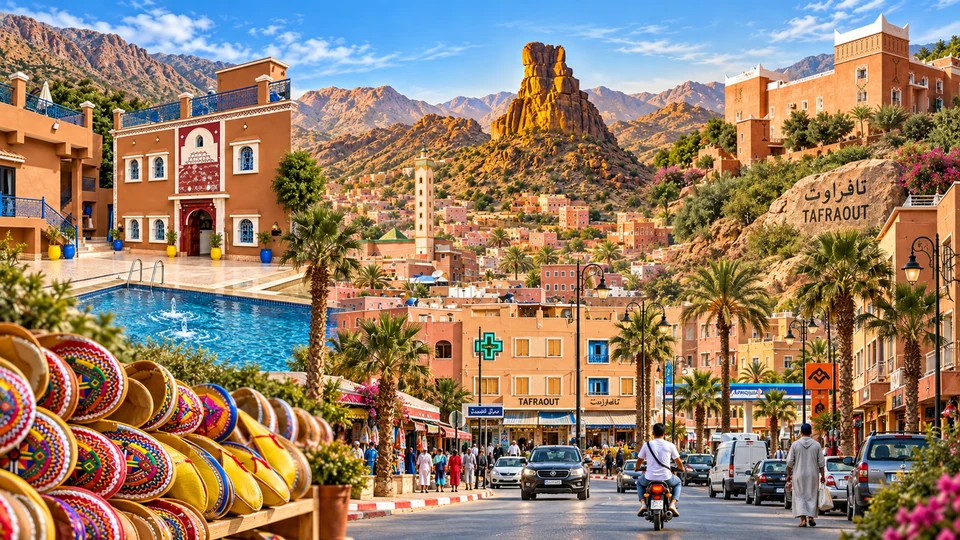
Agadir is the capital of Souss-Massa. Its Atlantic bay, rebuilt city and the memory held at Oufella provide a coastal starting point, with Taghazout adding a smaller village and surf setting to the north. Inland, the Souss plain links agriculture with Taroudant’s ramparts and markets. The region also includes Tiznit, Anti-Atlas country around Tafraout and the inland province of Tata, giving its Atlantic identity substantial mountain and oasis depth.
Tachelhit-speaking Amazigh cultural traditions, local making and the use of land are central to understanding these settings. Tiznit’s silverwork and fortified medina differ from Tafraout’s granite landscape and village architecture; Taroudant’s walls frame a working town rather than an isolated monument. Compare the open bay, a market gateway and a settlement against stone hills. Sidi Ifni belongs to Guelmim-Oued Noun, so it appears in the next regional chapter. The city guides here keep the Souss and Anti-Atlas connections grounded in their actual administrative setting.
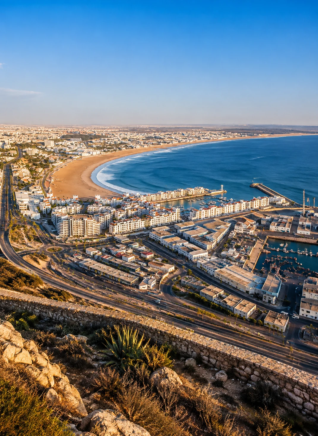 Agadir · Atlantic bay
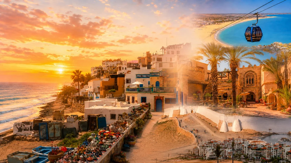 Taghazout · ocean rhythm
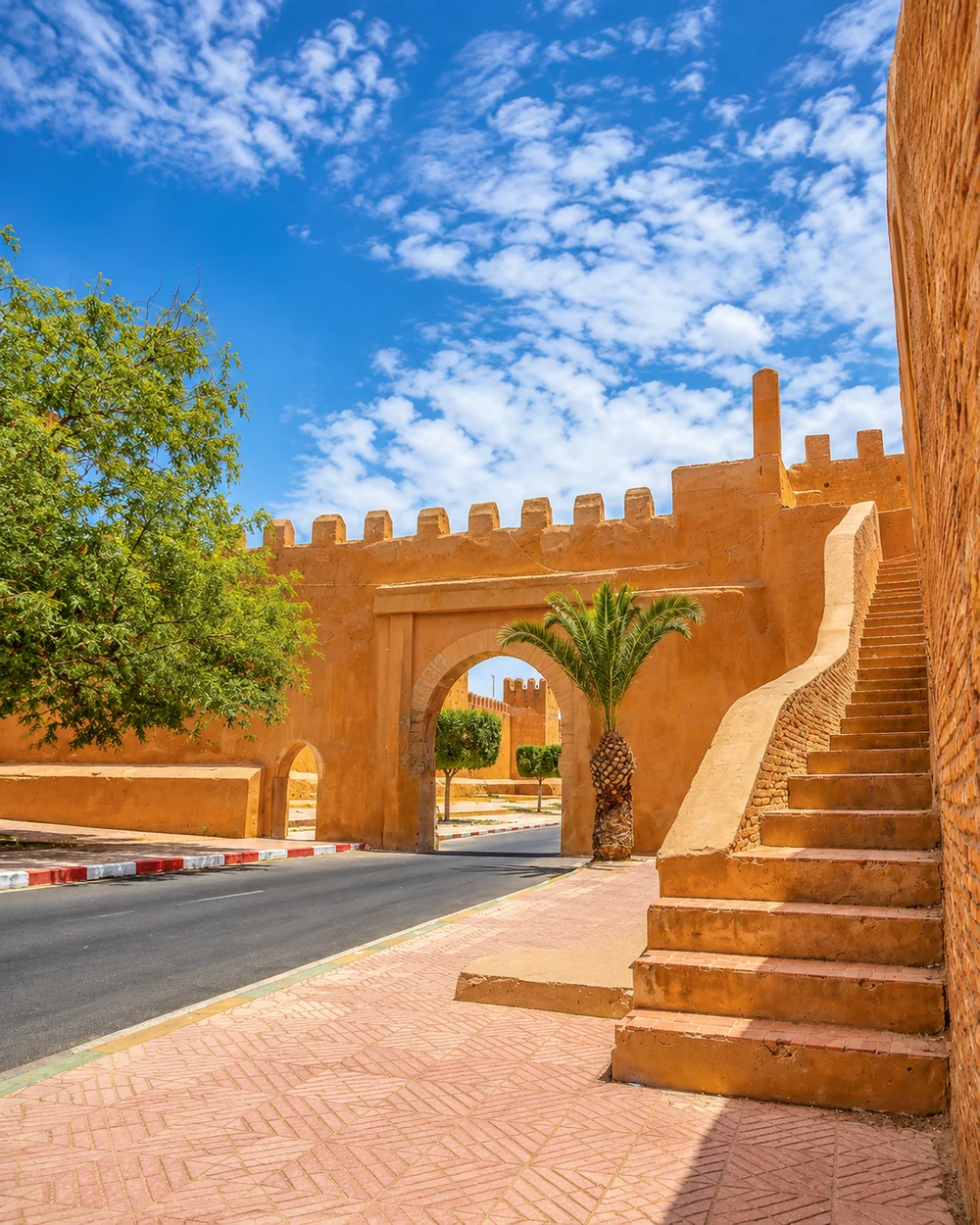 Taroudant · rampart gateway
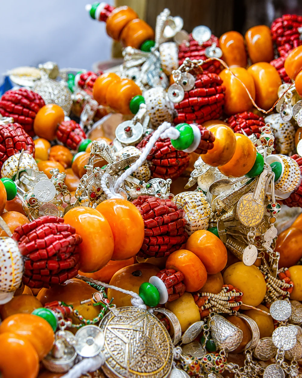 Tiznit · market colours
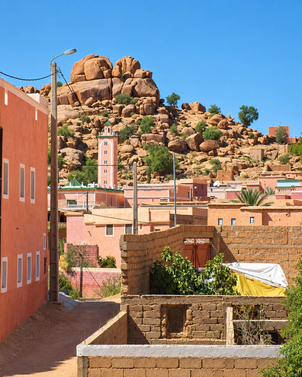 Tafraout · granite landscape
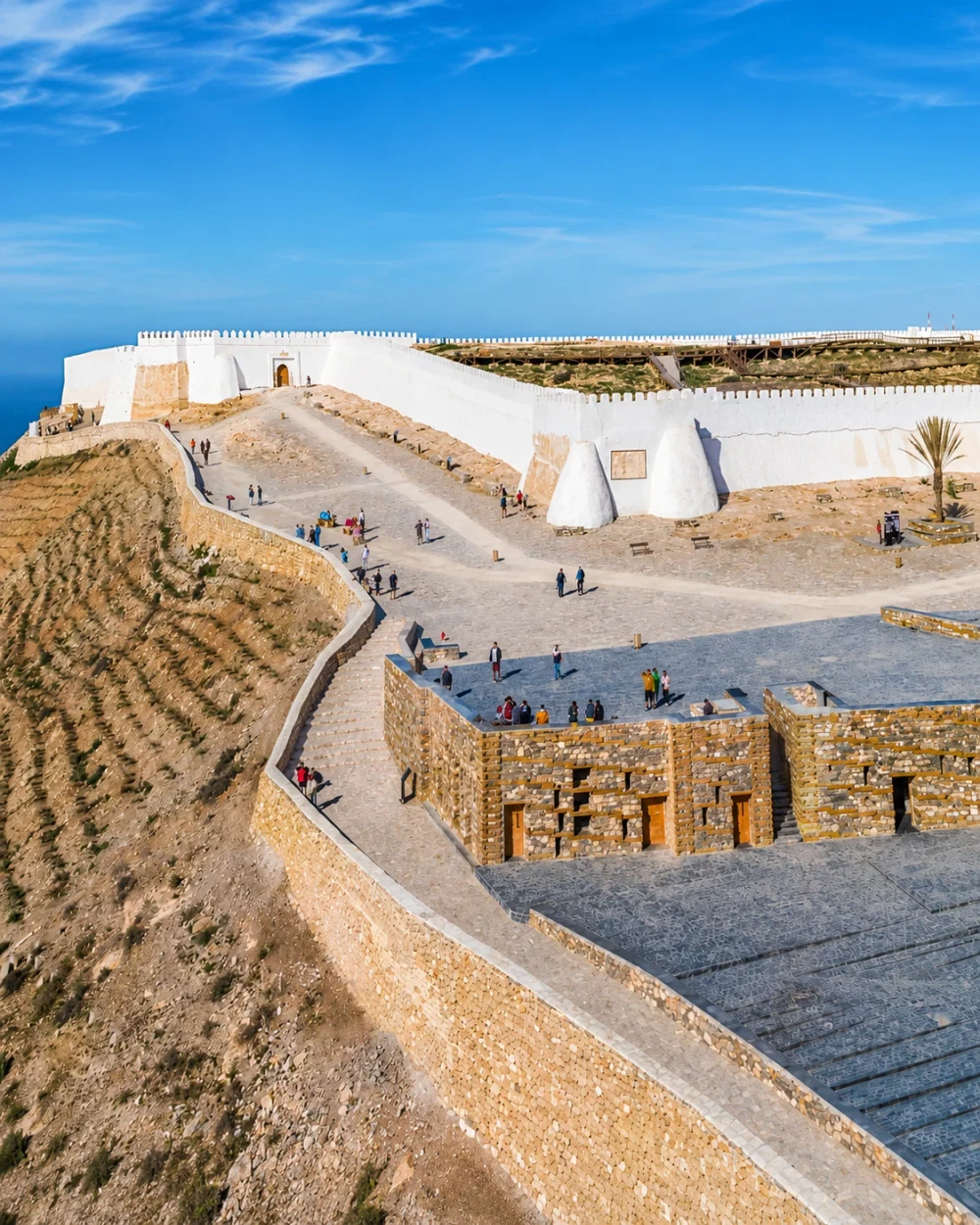 Agadir · Oufella memory
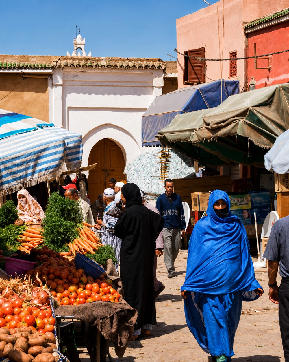 Taroudant · local markets
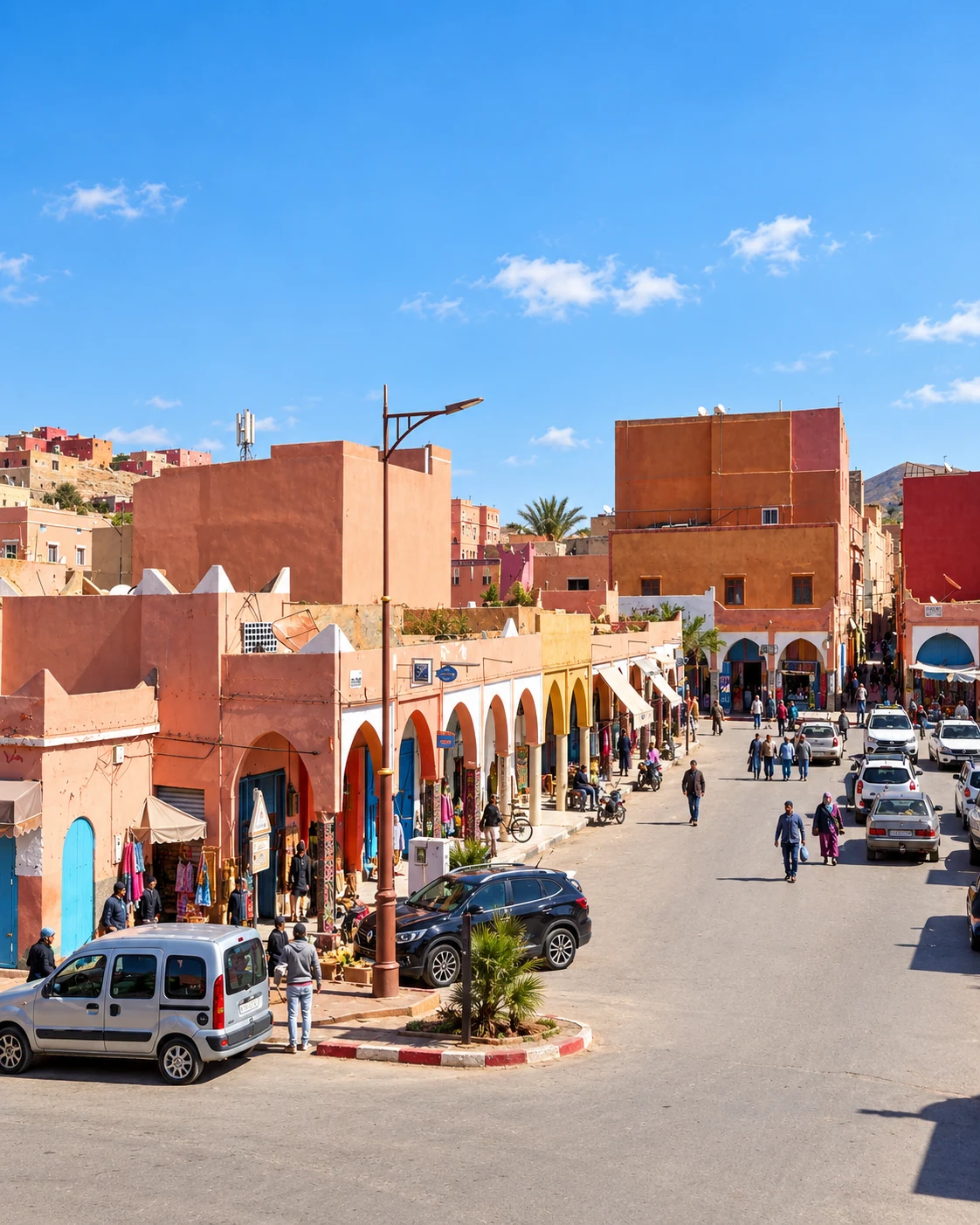 Guelmim · market square
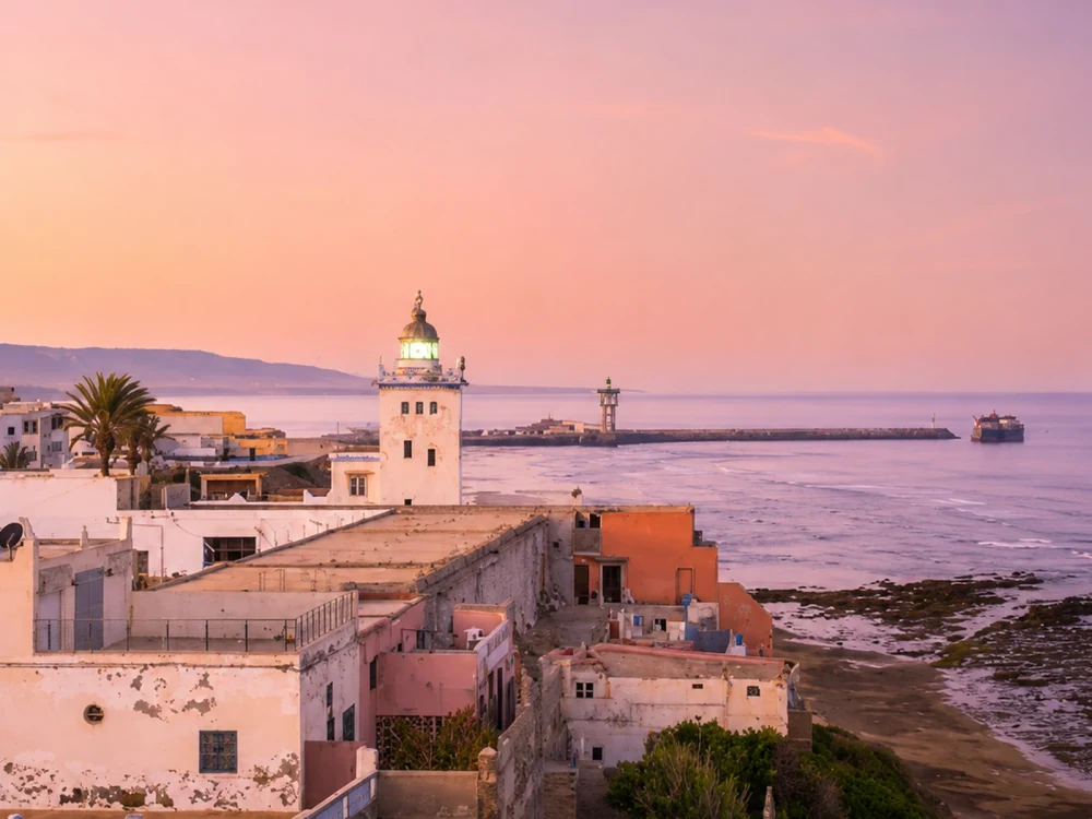 Sidi Ifni · Atlantic edge
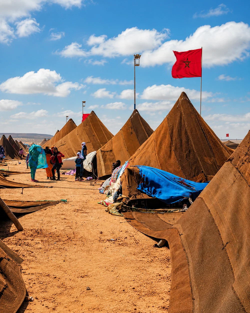 Tan-Tan · gathering tents
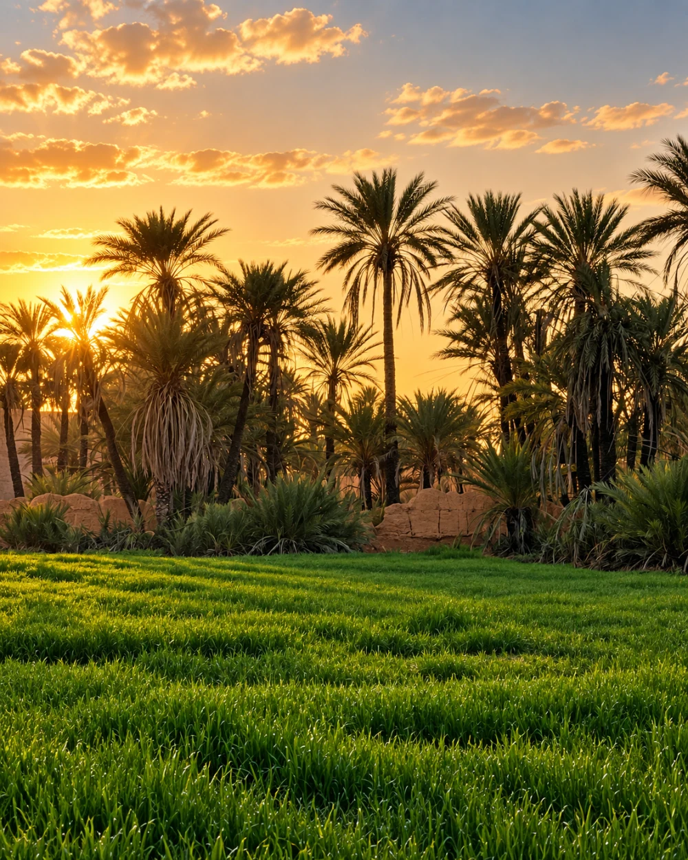 Oued Noun · oasis plots
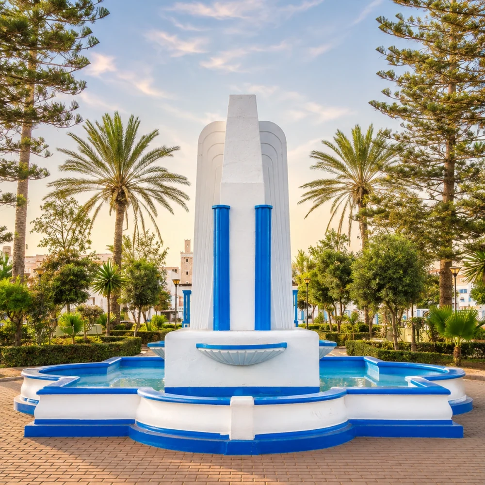 Sidi Ifni · Art Deco memory
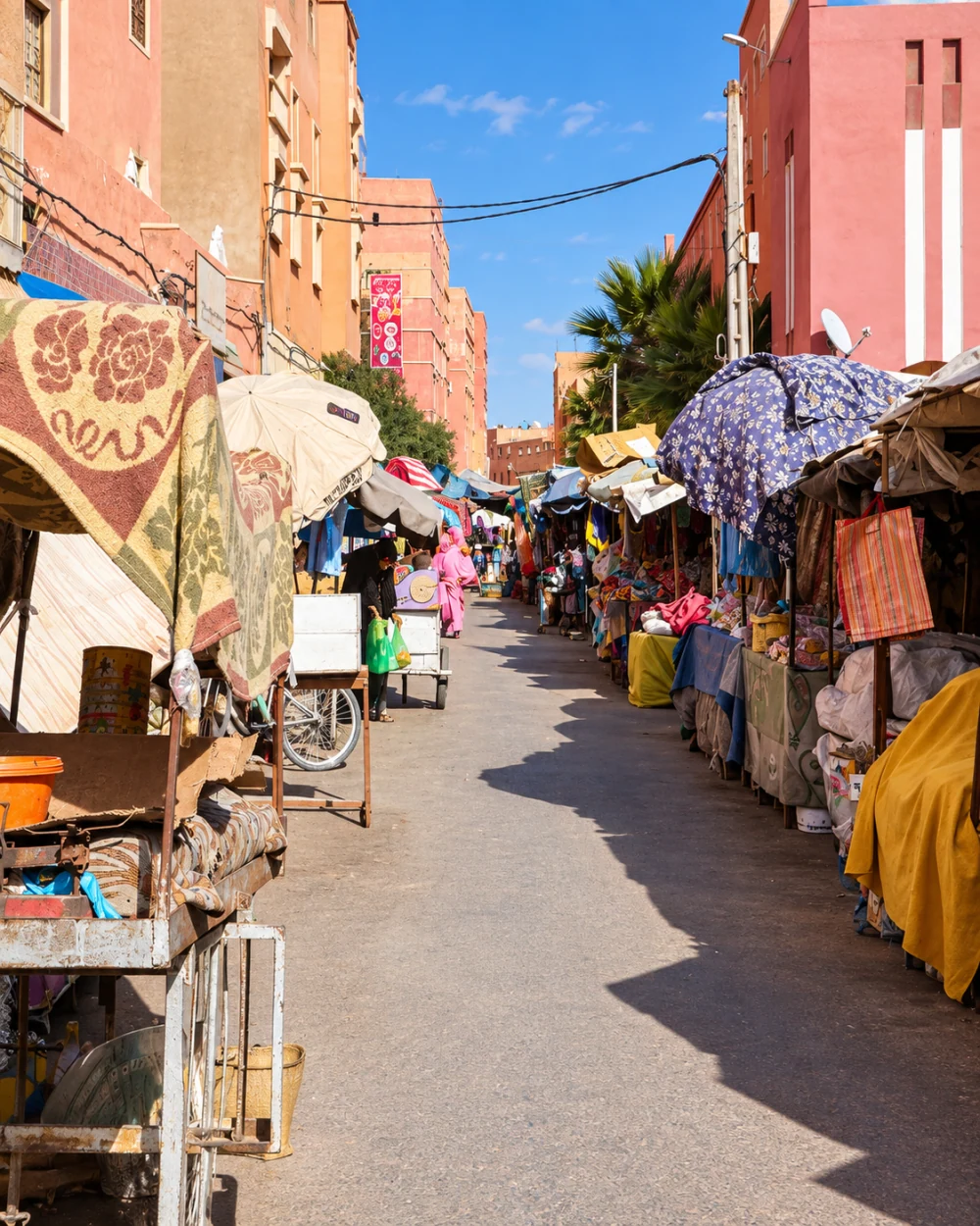 Guelmim · textile street
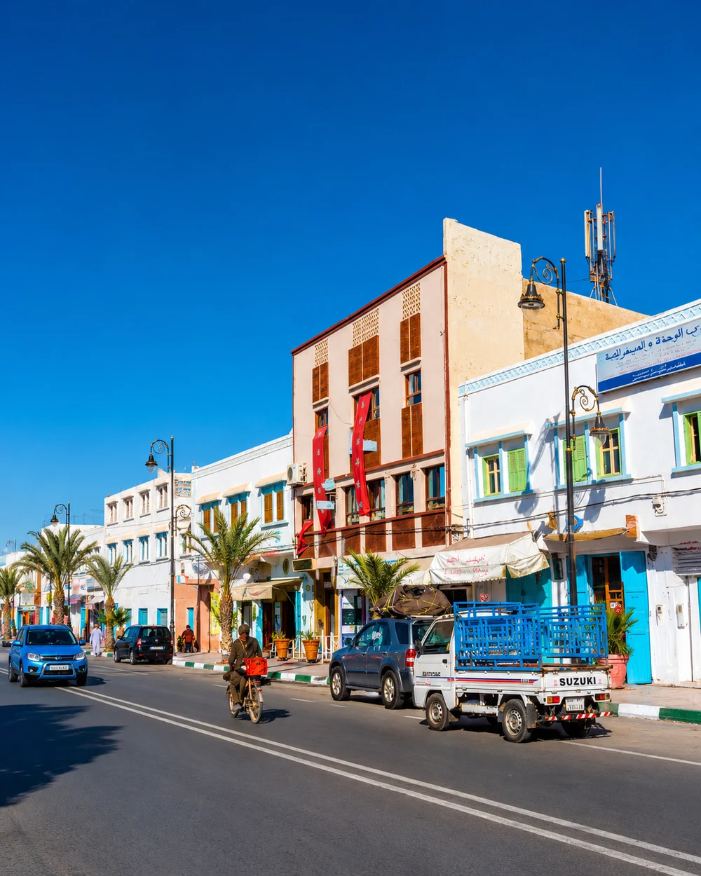 Tan-Tan · everyday movement
Oasis cultivation, Saharan exchange and Atlantic towns meet in the Oued Noun country.
Guelmim is the capital of Guelmim-Oued Noun. Its markets and oasis setting introduce a region that includes Guelmim, Sidi Ifni, Tan-Tan and Assa-Zag provinces. Here the southern Anti-Atlas approaches meet Atlantic exposure and Saharan routes of exchange. Cultivated palm country and town commerce are as important to the regional story as the long, open horizons between settlements.
Sidi Ifni adds a cliff-side Atlantic town with a distinctive twentieth-century architectural inheritance. Tan-Tan brings the cultural memory of its moussem and the relationship between town, nomadic traditions and the coast. In Guelmim, look at the movement of produce and textiles through ordinary market streets, then compare that everyday exchange with the public life of a coastal square or gathering. Amazigh and Hassaniya cultural connections overlap here without making every place alike. The existing guides below offer three different ways into the region, each with its own urban setting and landscape context.
Atlantic working towns and inland Saharan urban life give this regional chapter its breadth.
Within Morocco’s administrative framework, Laayoune is the capital of Laâyoune-Sakia El Hamra, which brings together Laayoune, Tarfaya, Boujdour and Es-Semara provinces. Laayoune’s avenues, civic spaces and setting beside the Sakia El Hamra introduce a regional landscape of low-rise urban fabric, dry country and Atlantic connections. The city is one part of the chapter rather than a substitute for its coastal and inland places.
Tarfaya contributes Cape Juby’s coastal and aviation memory, with the Khnifiss and Naïla lagoon landscape nearby. Boujdour’s lighthouse and fishing harbour bring working Atlantic life into view. Inland, Smara has a different urban and religious history associated with Sheikh Ma El Ainin. Hassaniya cultural traditions, markets and relationships between settlement and mobility add another way to read these places. Compare a harbour, a straight city avenue and a zawiya entrance through the individual guides below. The administrative terminology used here does not resolve Western Sahara’s status; the source note explains that context.
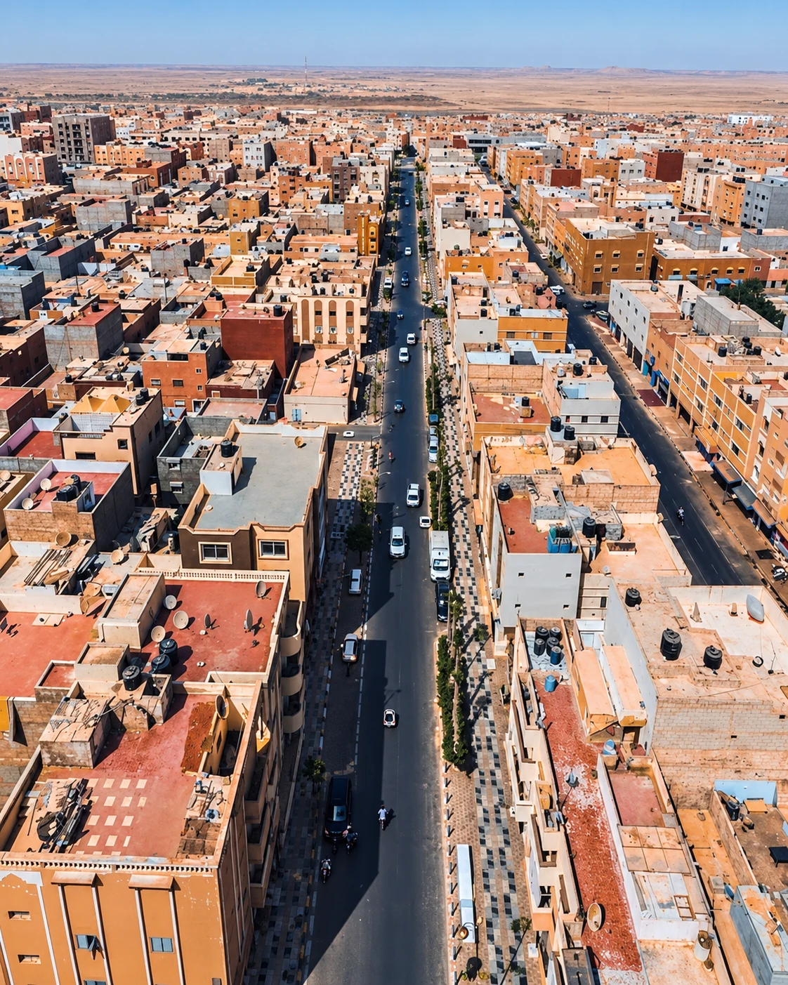 Laayoune · urban scale
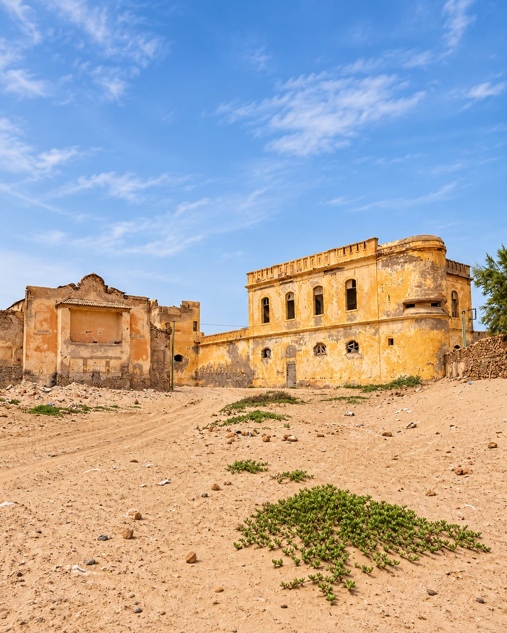 Tarfaya · Cape Juby memory
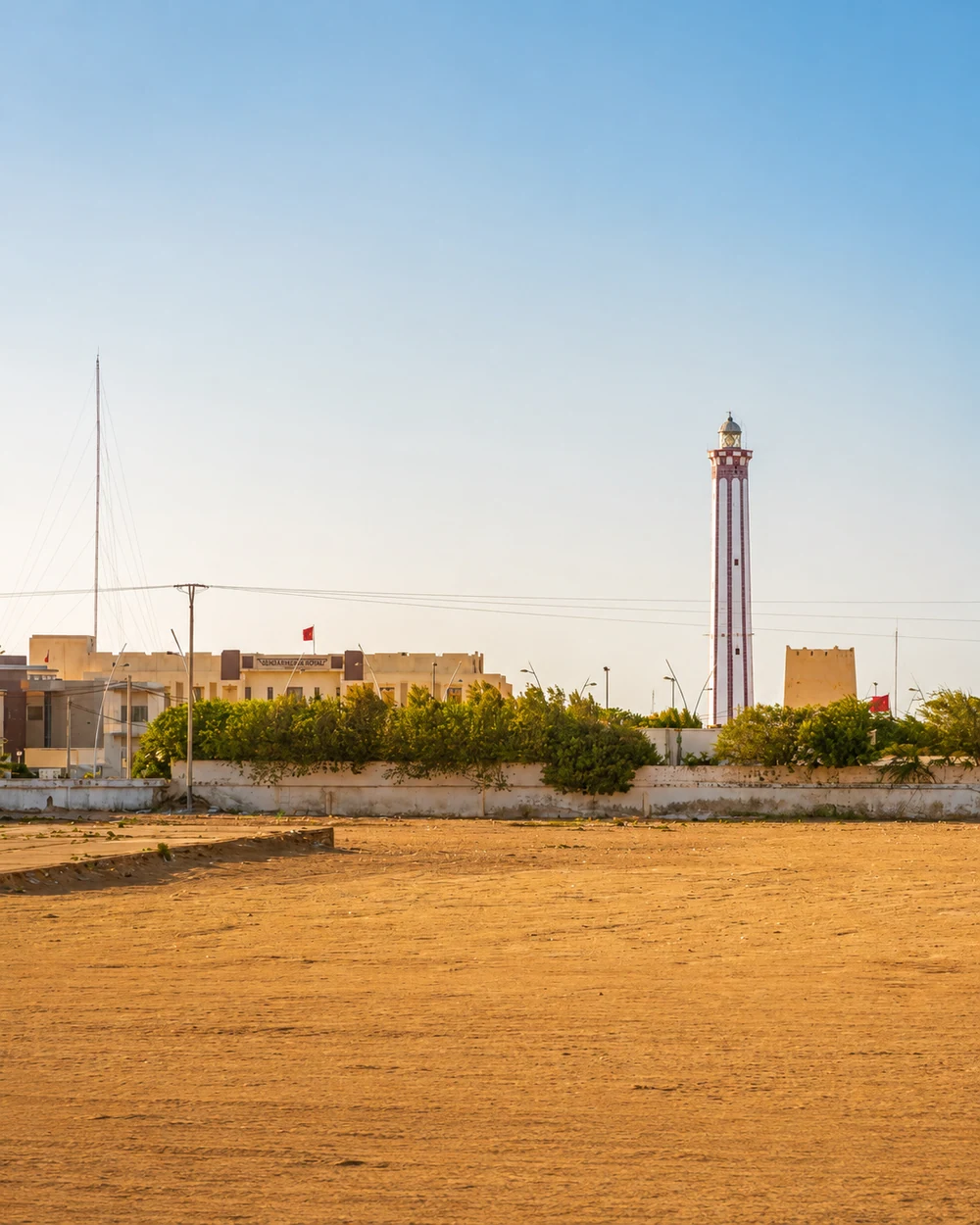 Boujdour · lighthouse
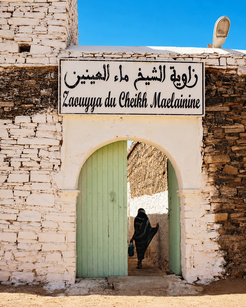 Smara · Ma El Ainin zawiya
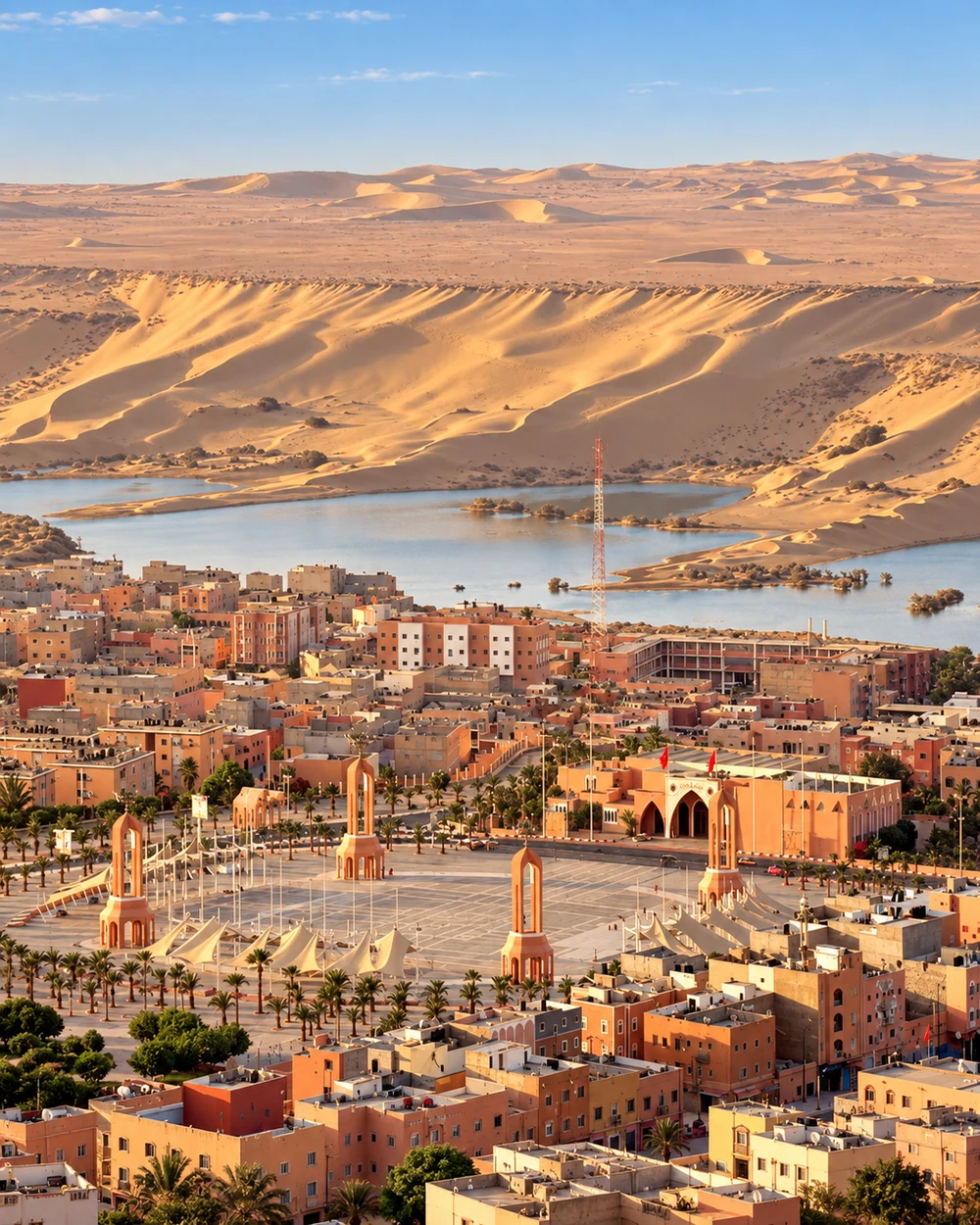 Sakia El Hamra · water and dunes
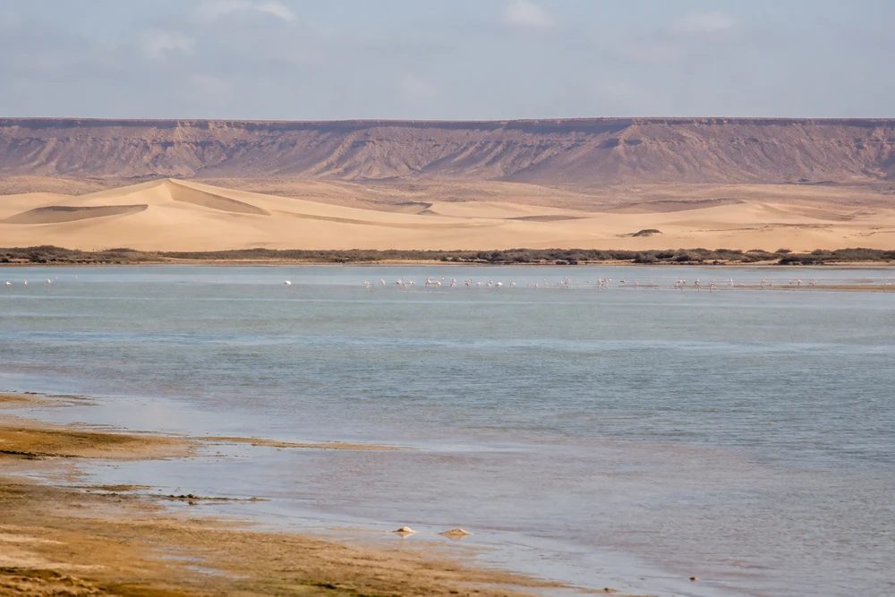 Khnifiss · Naïla Lagoon
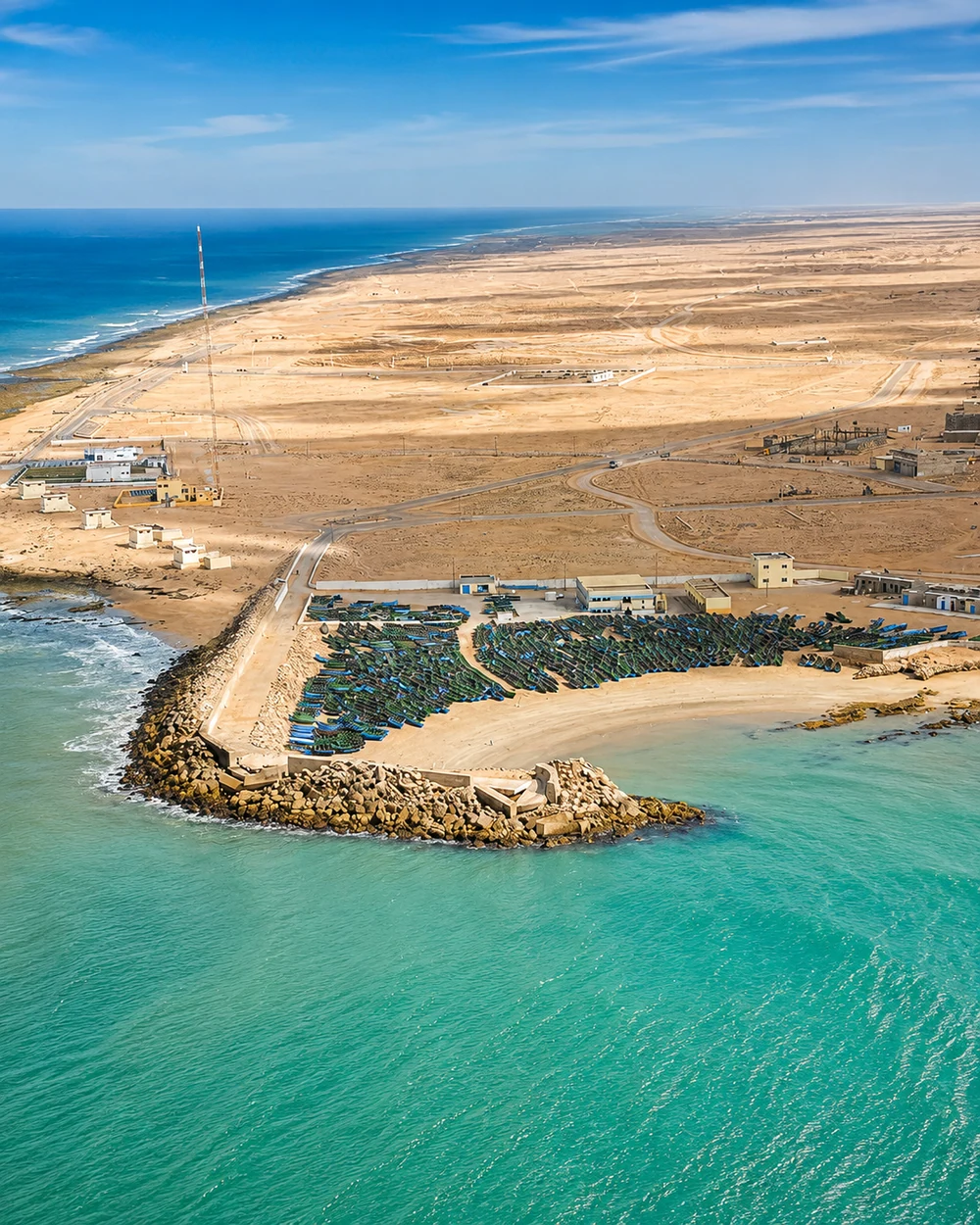 Boujdour · fishing harbour
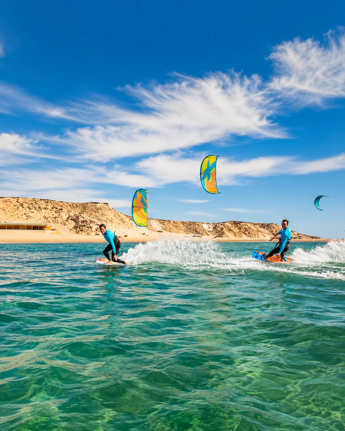 Lagoon · wind sports
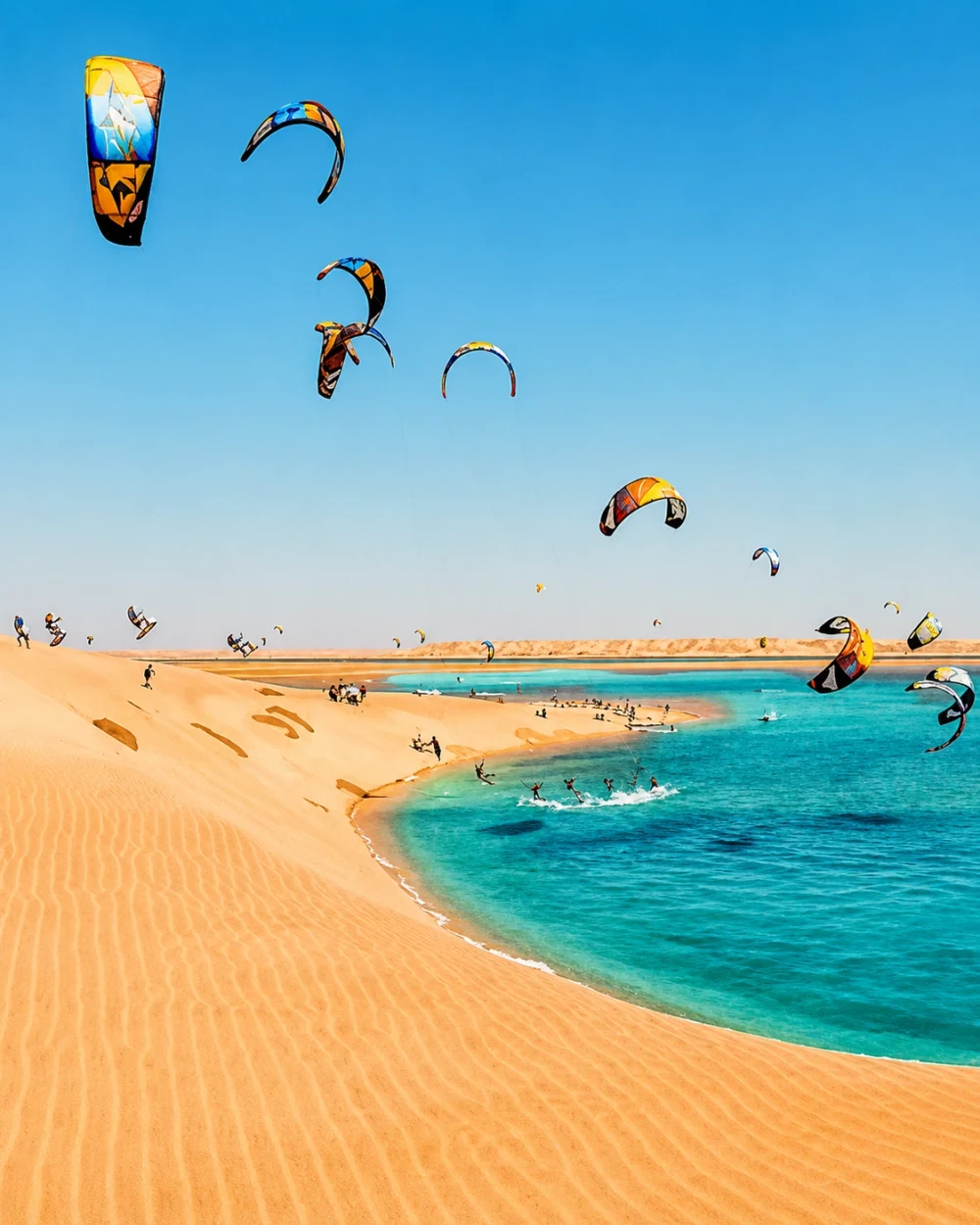 Lagoon · sheltered water
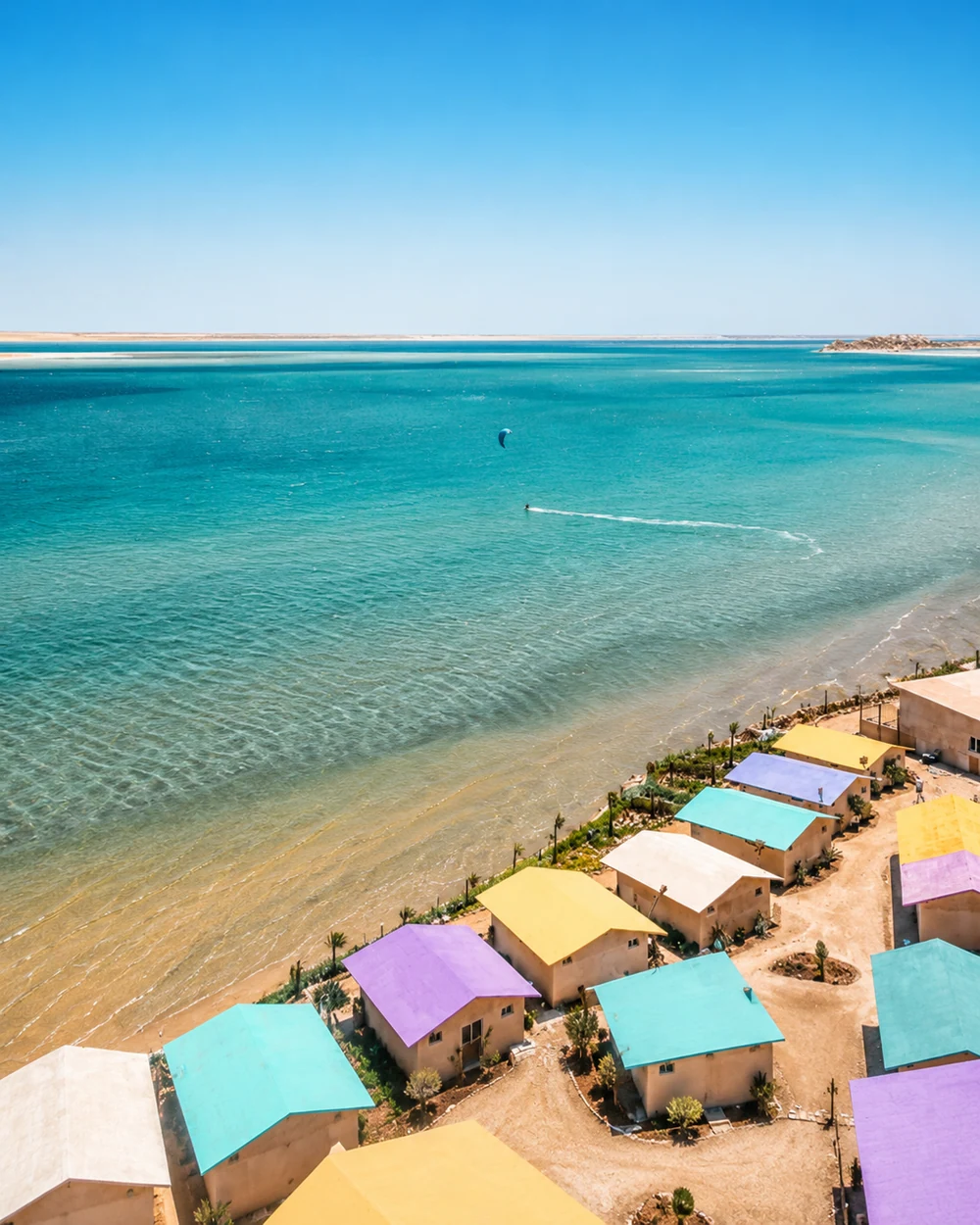 Lagoon-side camps
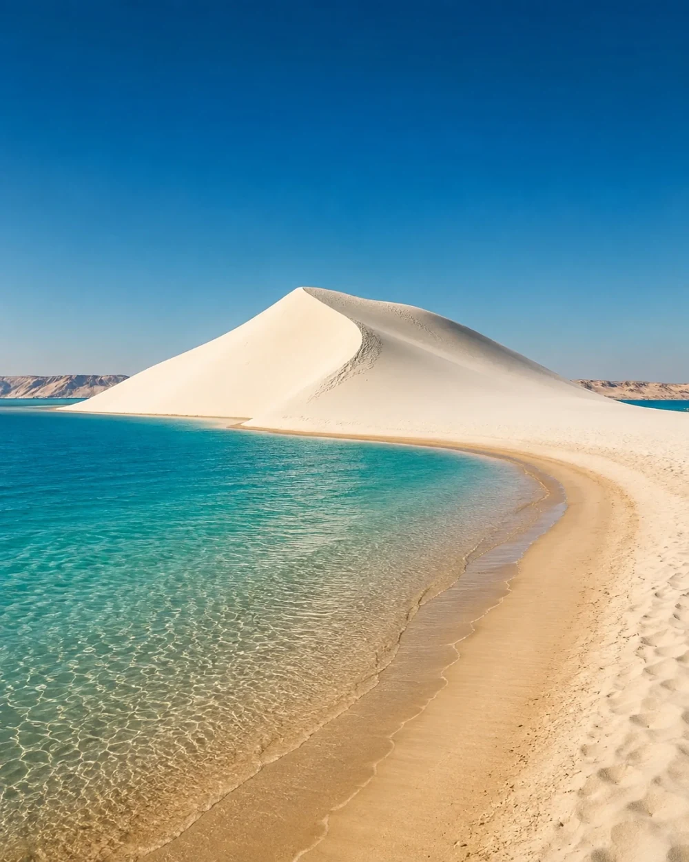 Dune · lagoon edge
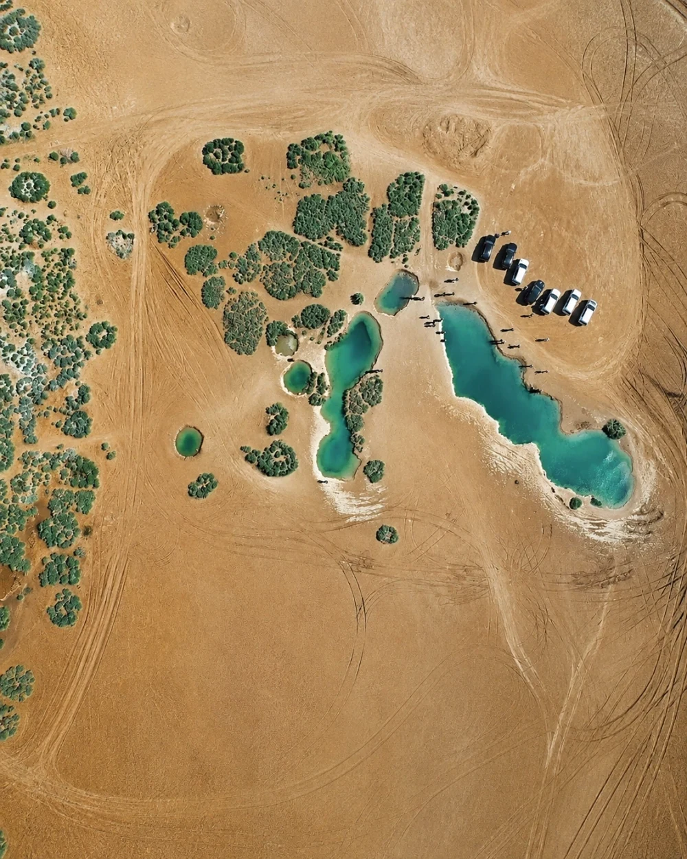 Desert · water pools
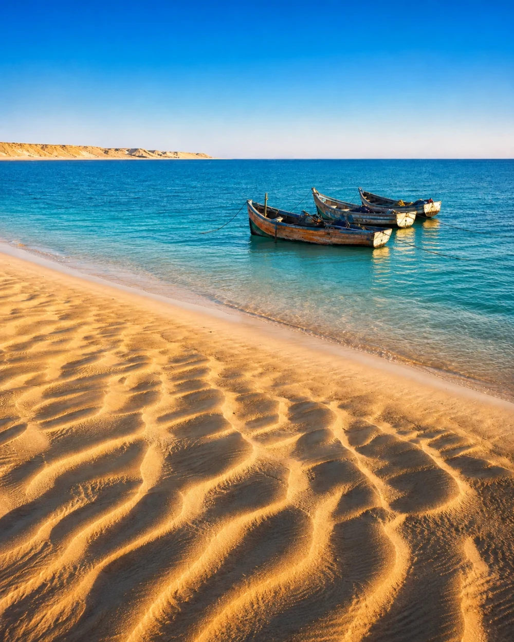 Lagoon · fishing boat
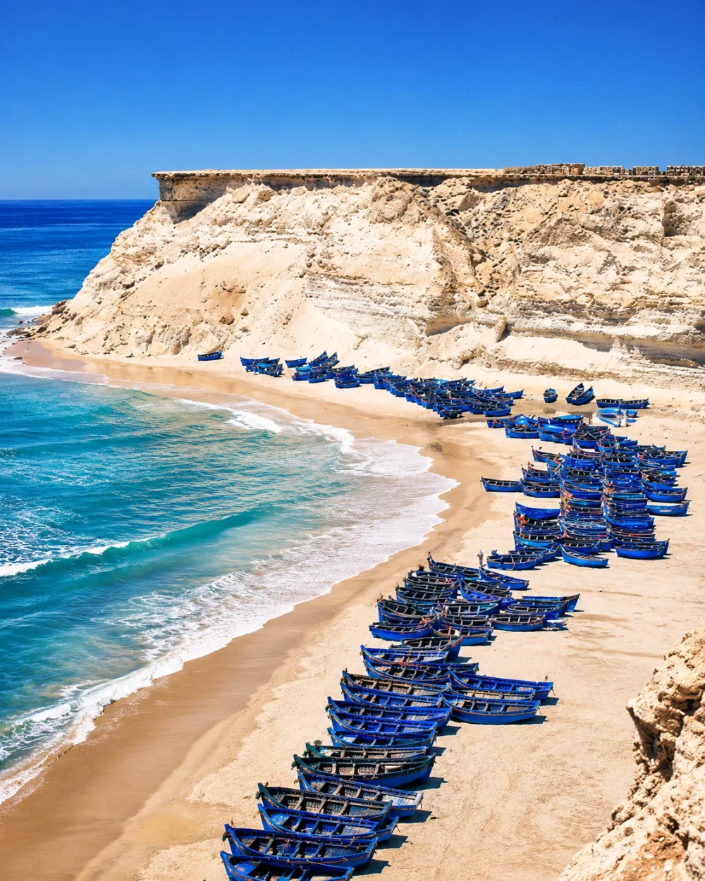 Working Atlantic · boats
A narrow peninsula separates Atlantic exposure from a lagoon set against desert country.
Dakhla is the capital of Dakhla-Oued Ed-Dahab in Morocco’s administrative framework. The region includes Oued Ed-Dahab and Aousserd provinces and is defined visually by the meeting of ocean, lagoon and desert. Dakhla’s peninsula gives open Atlantic water and the more sheltered lagoon different relationships with town life. Fishing, wind sports and lagoon-side activity contribute to the contemporary coastal character, while the inland distances remain a substantial part of the regional geography.
Read the two water horizons separately. A lagoon shore, a working waterfront and an exposed ocean beach serve different purposes, even when they share the same blue palette. The Dakhla city guide below explores the peninsula and the town in more detail, linking lagoon activity with fishing, waterfront life and the wider desert setting. These images are editorial illustrations of regional landscapes. Follow the guide from broad horizons to named places, local history and the everyday uses of water. As in the preceding chapter, the administrative naming does not settle Western Sahara’s unresolved status.
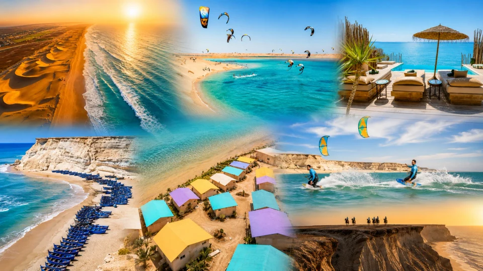
Peninsula, lagoon, wind sports and working Atlantic culture.
An administrative boundary locates a city. Water, materials and daily life help explain the places on either side.
Compare an Atlantic river mouth, a mountain spring and an oasis garden. The Bouregreg, Sebou, Oum Er-Rbia, Ziz and Drâa bring different relationships between settlement and cultivation into view. The city guides provide named places; the regional chapters help you see their wider setting.
Look at carved cedar in Fez, clay in Safi, woven textiles around Khénifra and earthen walls in the southeast. Materials connect landscape with making, but they do not belong exclusively to one region. Ask what a detail does and how it fits into a lived street, courtyard or workshop.
A region is a useful home for a city, not a promise that every place is a short transfer away. Choose a few existing guides, read their maps and then shape a manageable sequence. Use the planning library for practical orientation and current local information for the actual journey.
Regional names and capitals follow Morocco’s administrative framework. Southern entries include Western Sahara, whose final status remains unresolved in the United Nations process. Administrative terminology does not settle that status. Geographic codes and existing city routes were reviewed on 4 October 2026. Regional descriptions and looking suggestions are Exotic Morocco editorial work.
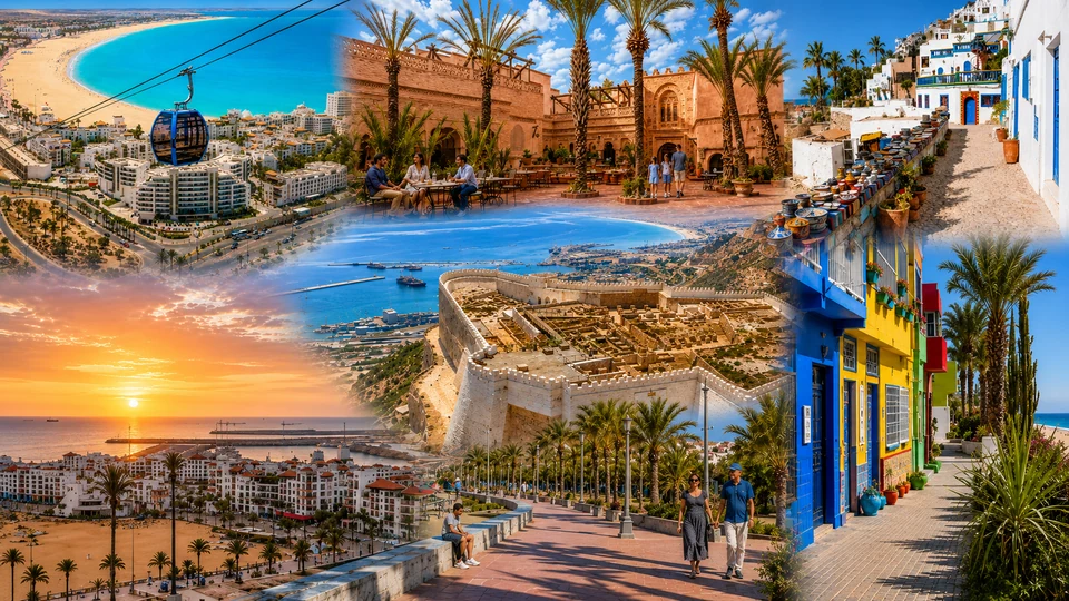
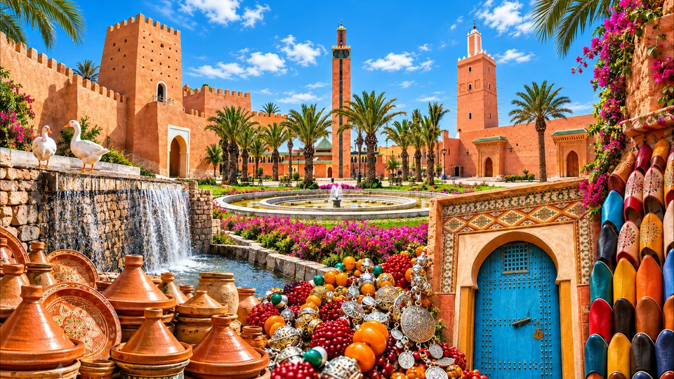
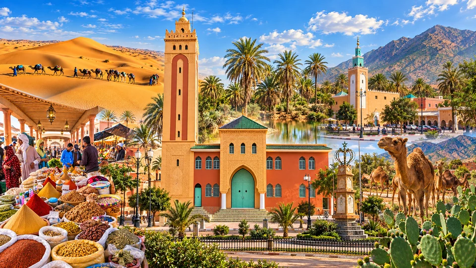
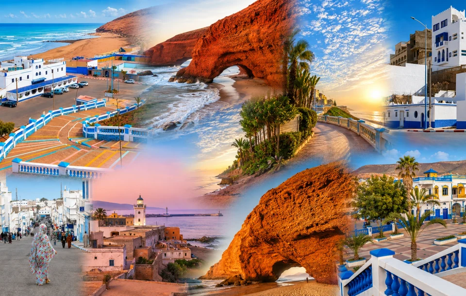
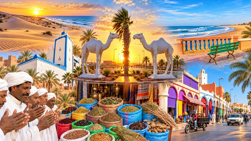
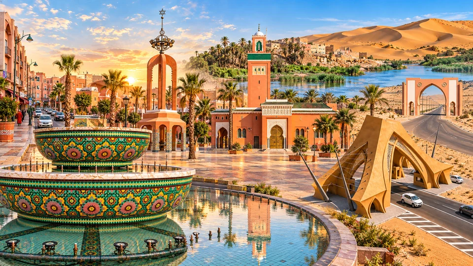
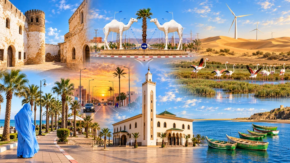
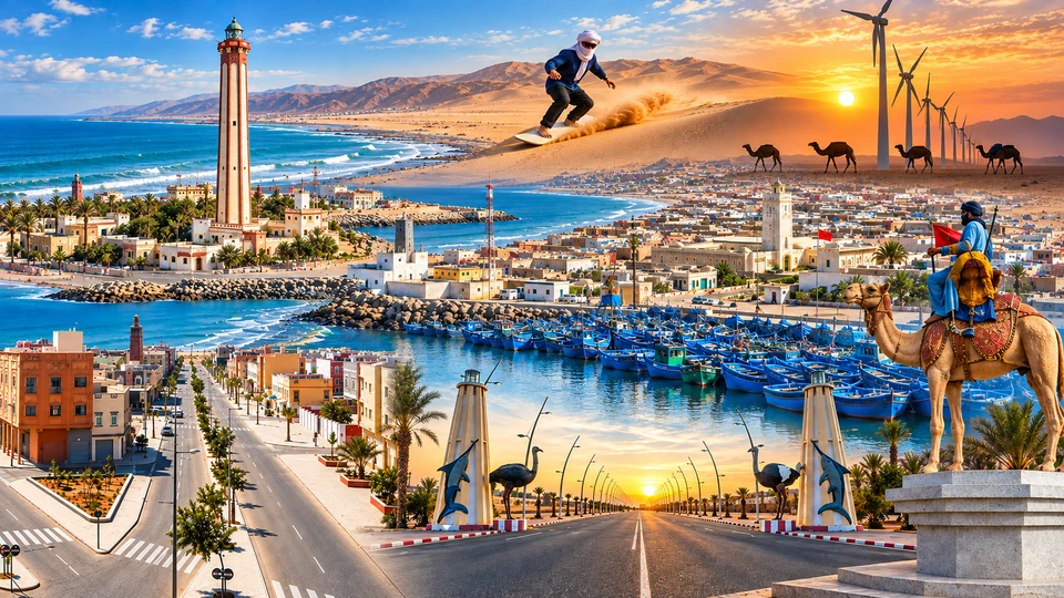
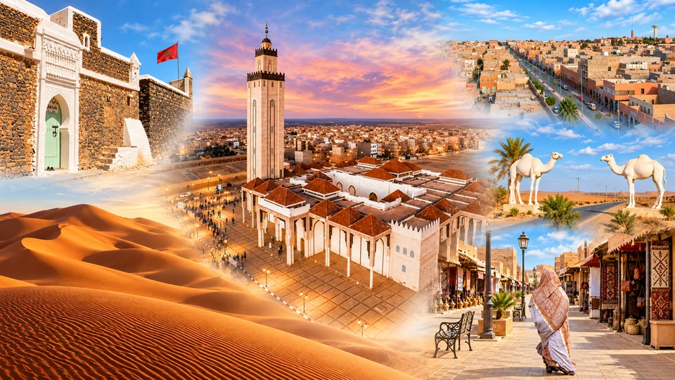
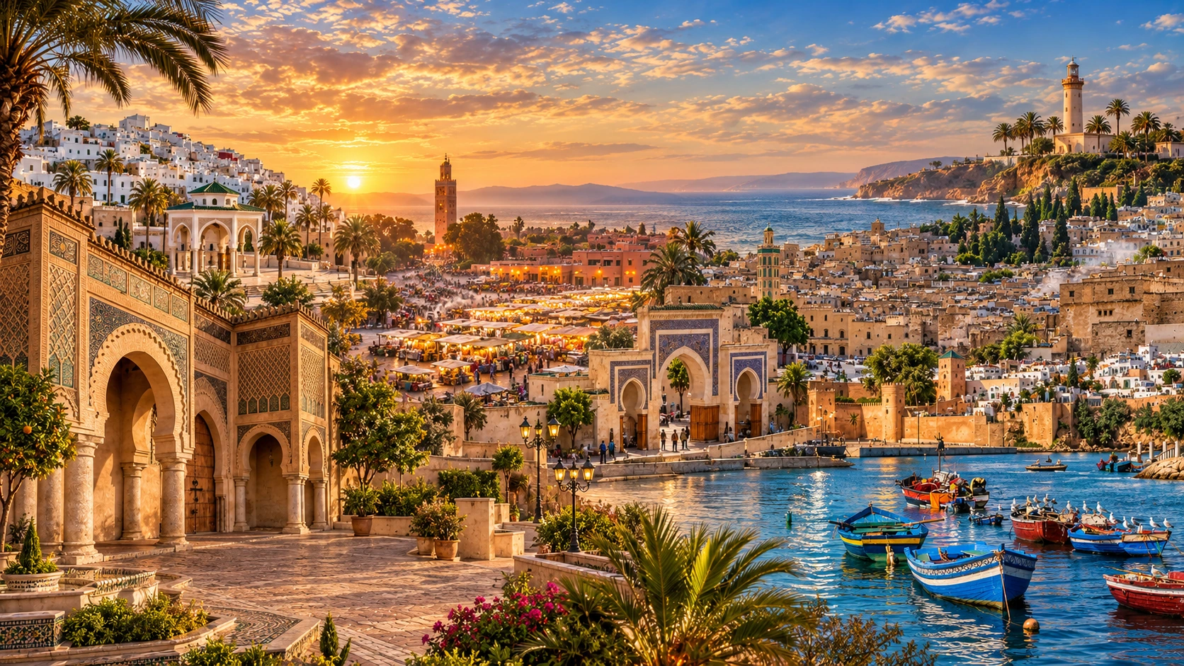
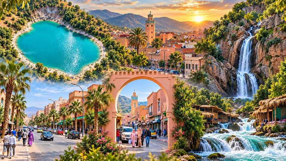
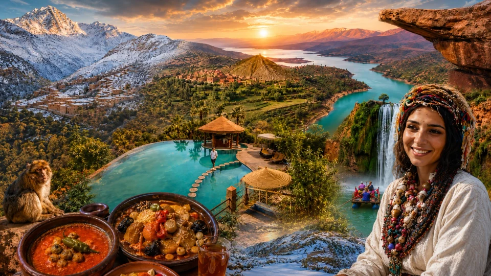
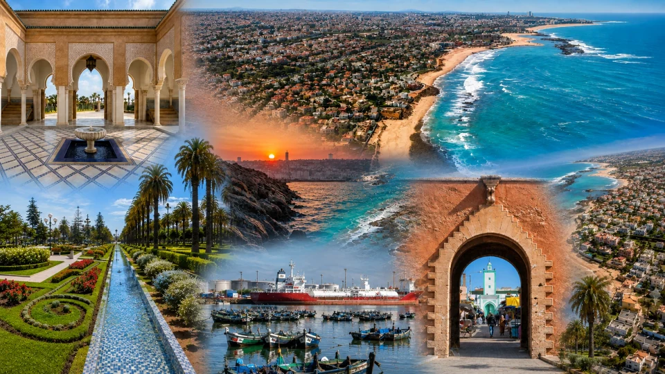
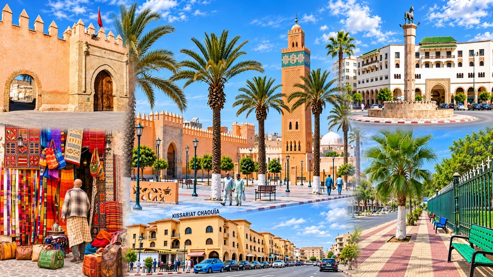
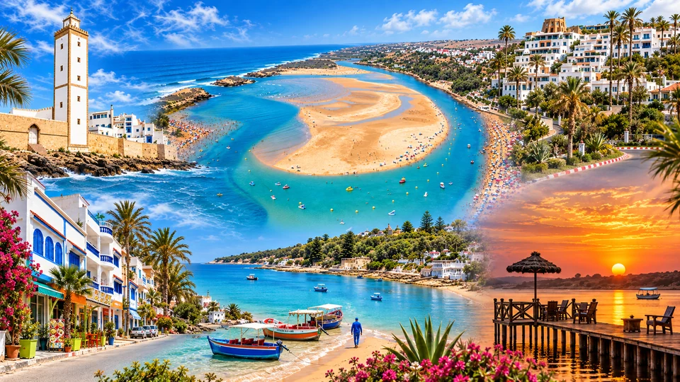
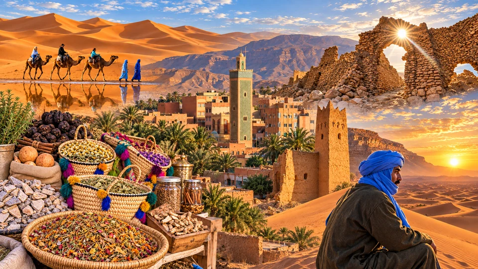
Images are retained from the current Exotic Morocco city and regional library and include editorial illustrations and fused compositions. The six-city hero is an editorial fusion of distinct places. Images do not establish present-day access or conditions.
Return to the regional journeys, browse the city library or begin with a place that caught your attention. The twelve official regions give the framework; the existing guides bring the streets, monuments and landscapes closer.